Trails near Ballabio
379 hikes starting within 15 km, nearest first.
Nearest first, page 5 of 8
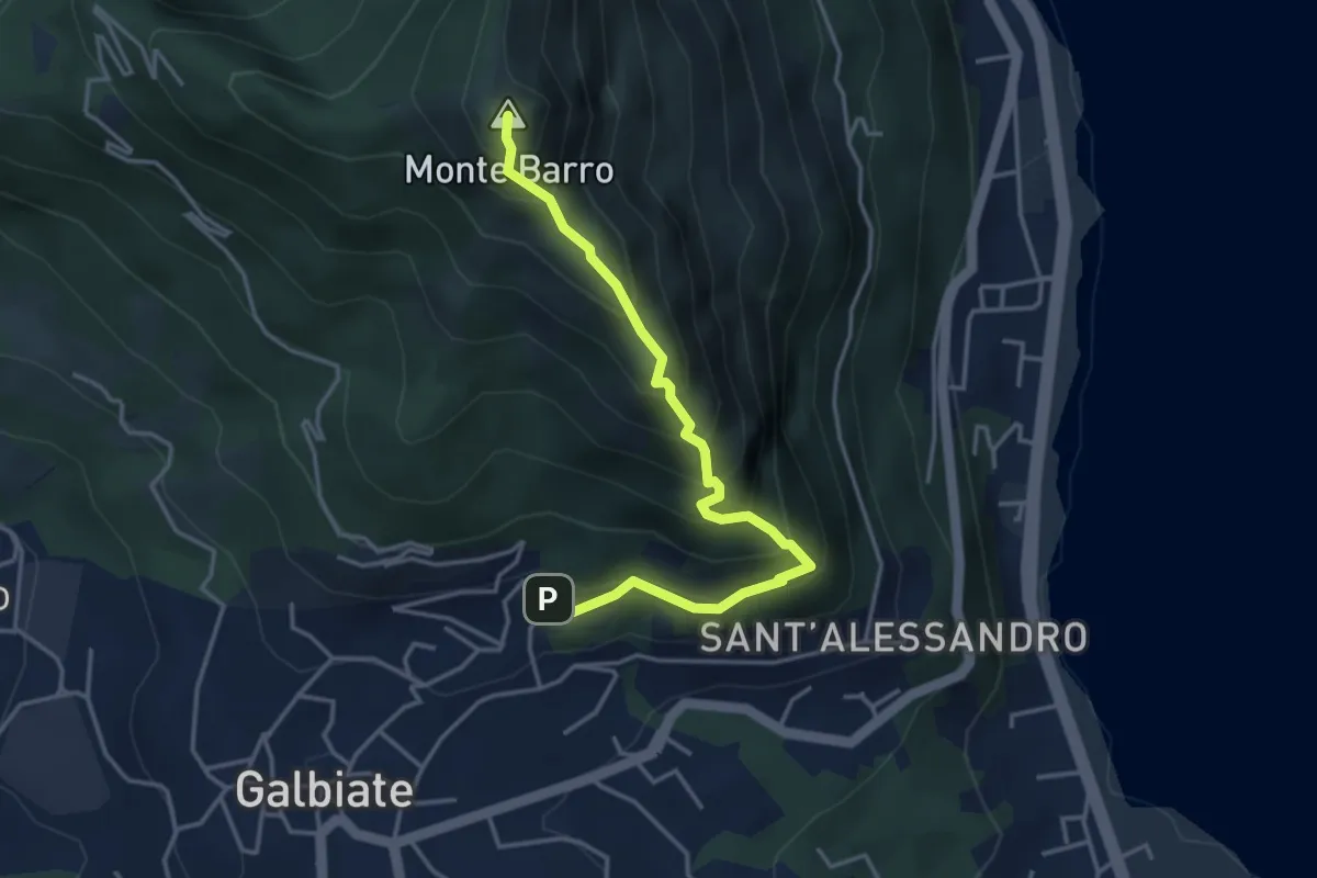
Expert · Summit
Galbiate – Monte Barro
4.1 km · ↑ 475 m · 2 h · 9 km away
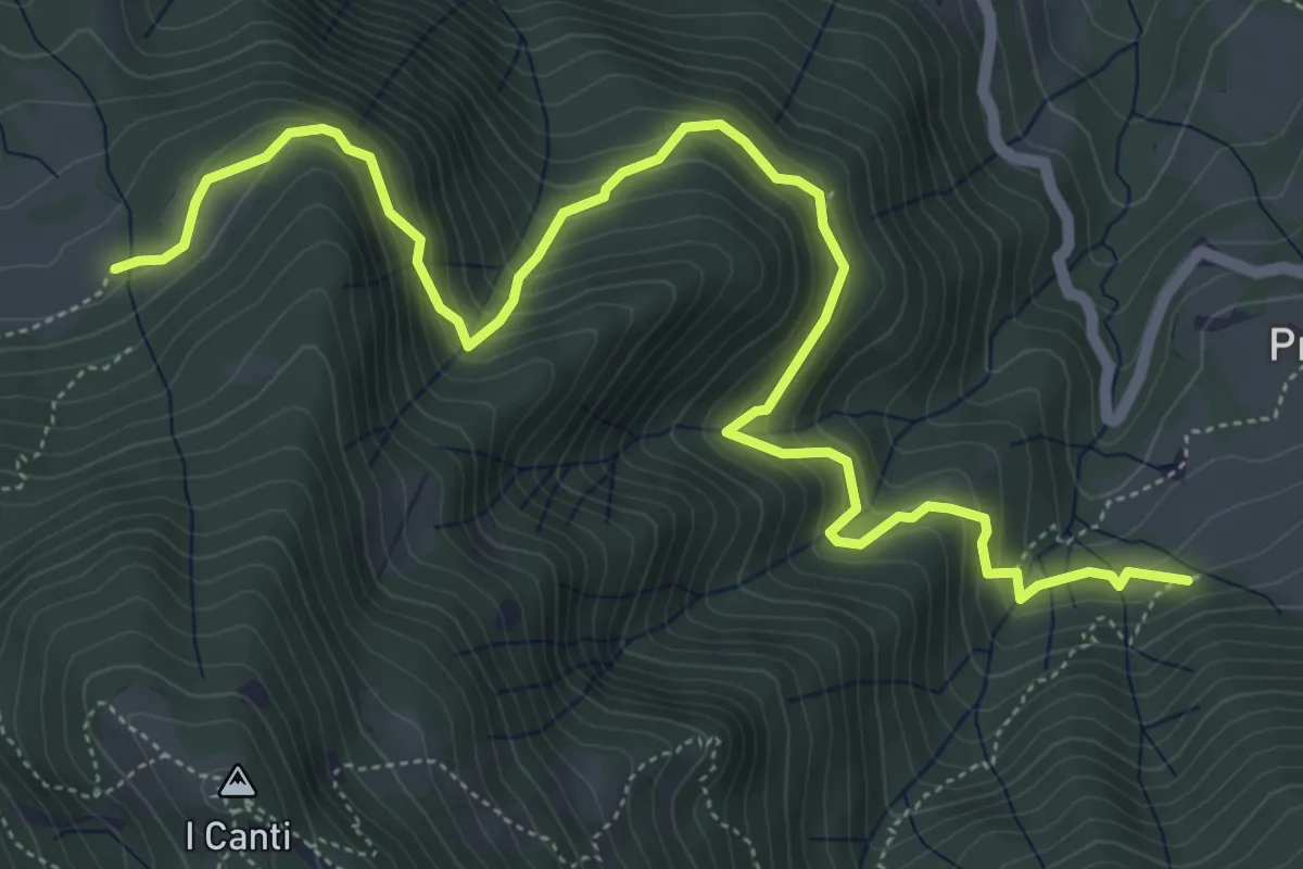
Demanding · Trail
Incrocio 569 (Peghera) – Incrocio 569B (Piazzoli)
7.2 km · ↑ 617 m · 3 h 3 min · 9 km away
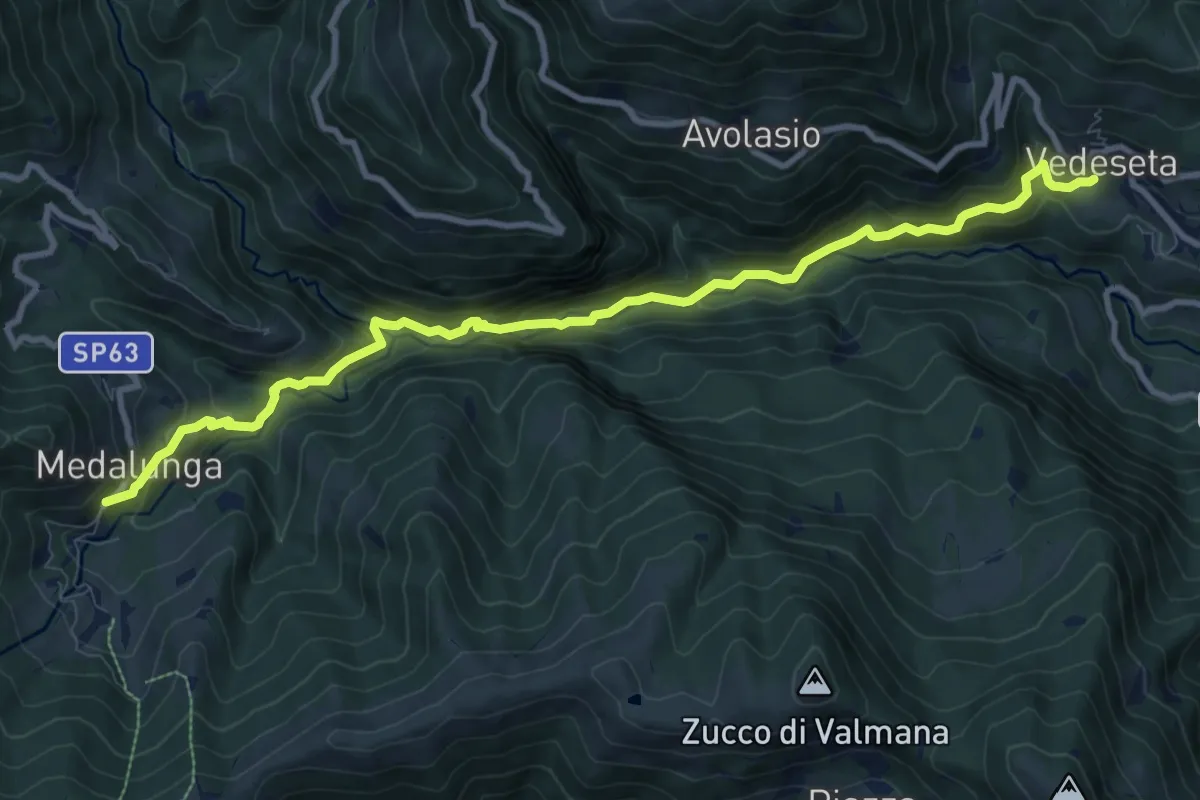
Medium · Trail
Morterone – Vedeseta
10.8 km · ↑ 671 m · 4 h 1 min · 9 km away
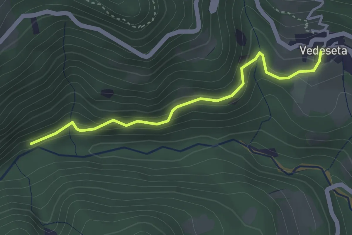
Medium · Trail
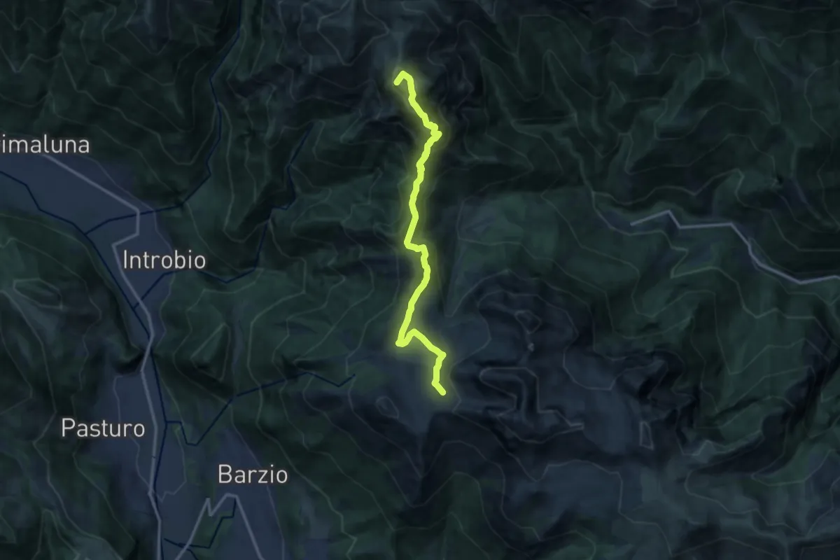
Vedeseta – Incrocio 156
3.1 km · ↑ 197 m · 1 h 9 min · 9 km away
Demanding · Summit
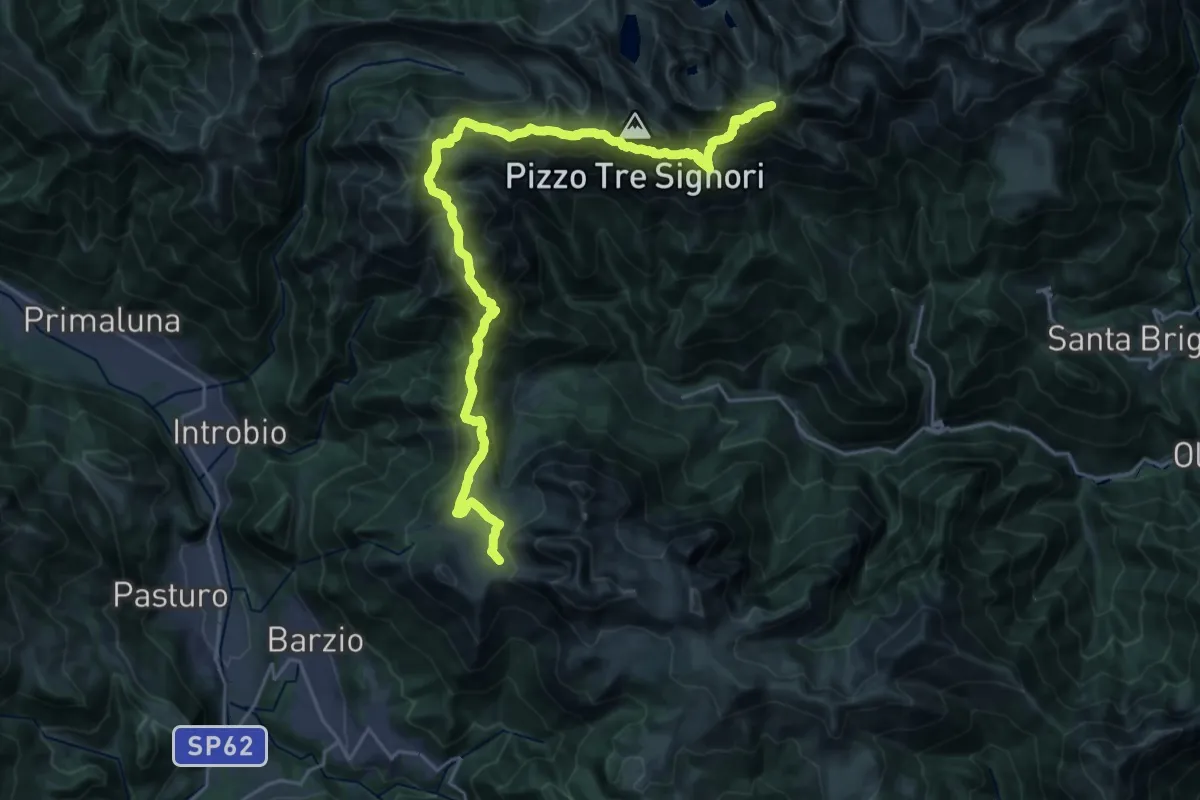
101 - Tappa 3
12.2 km · ↑ 639 m · 4 h 16 min · 9 km away
Demanding · Summit
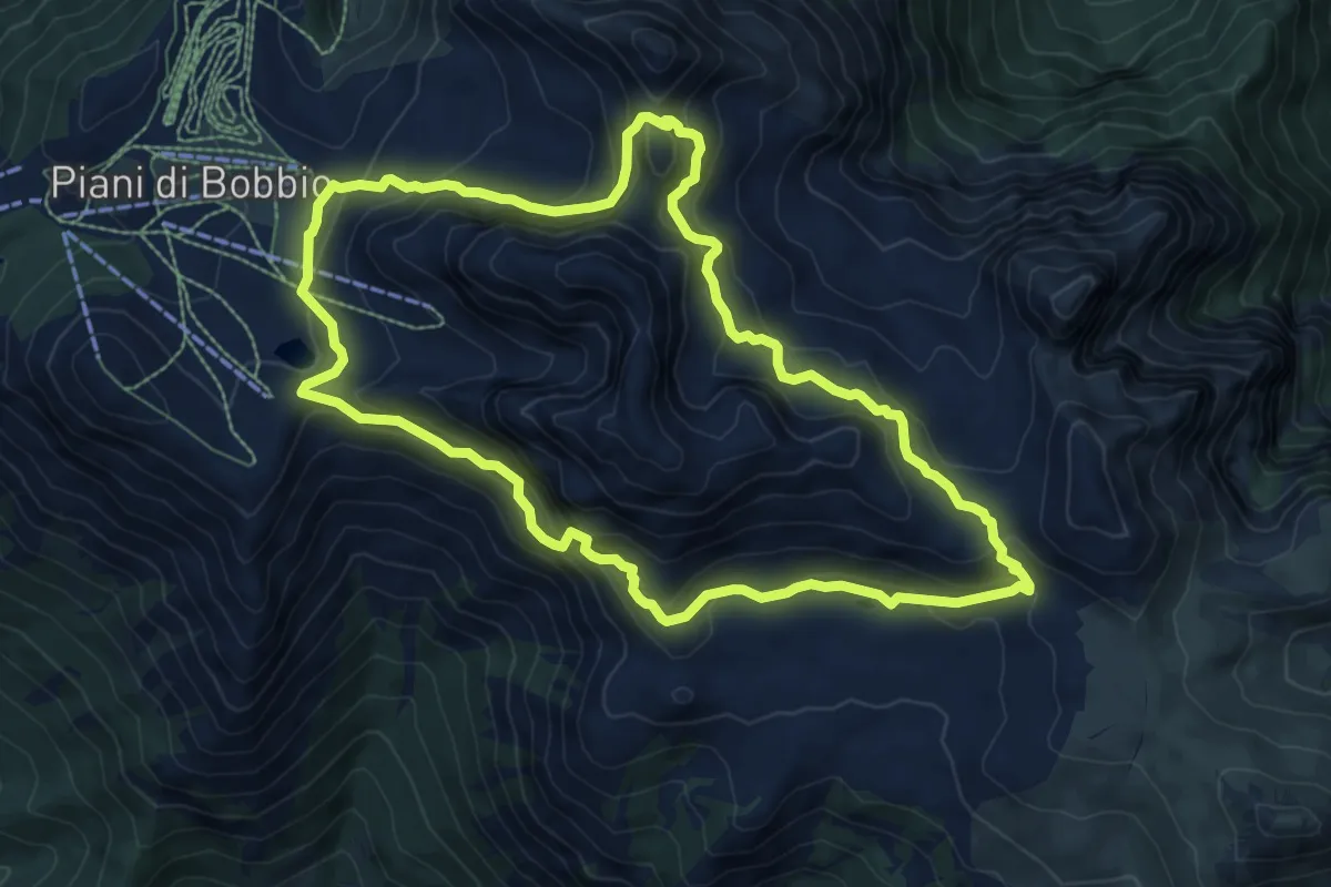
Sentiero delle Orobie Occidentali - Tappa 2
27.8 km · ↑ 1797 m · 10 h 27 min · 9 km away
Expert · Trail
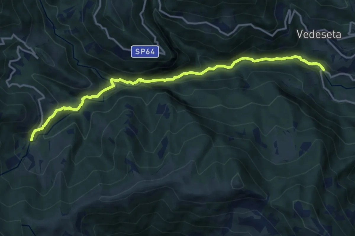
Anello dei Campelli
8.4 km · ↑ 569 m · 3 h 20 min · 9 km away
Medium · Trail
Ponte Lavina – Morterone
11.0 km · ↑ 607 m · 3 h 55 min · 9 km away
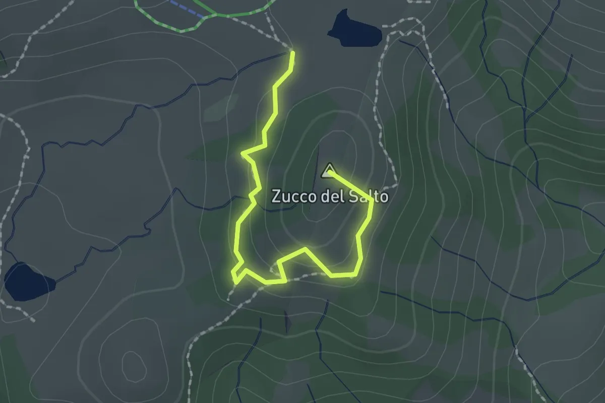
Easy · Summit
Sentiero della Marmotta
1.9 km · ↑ 88 m · 39 min · 9 km away
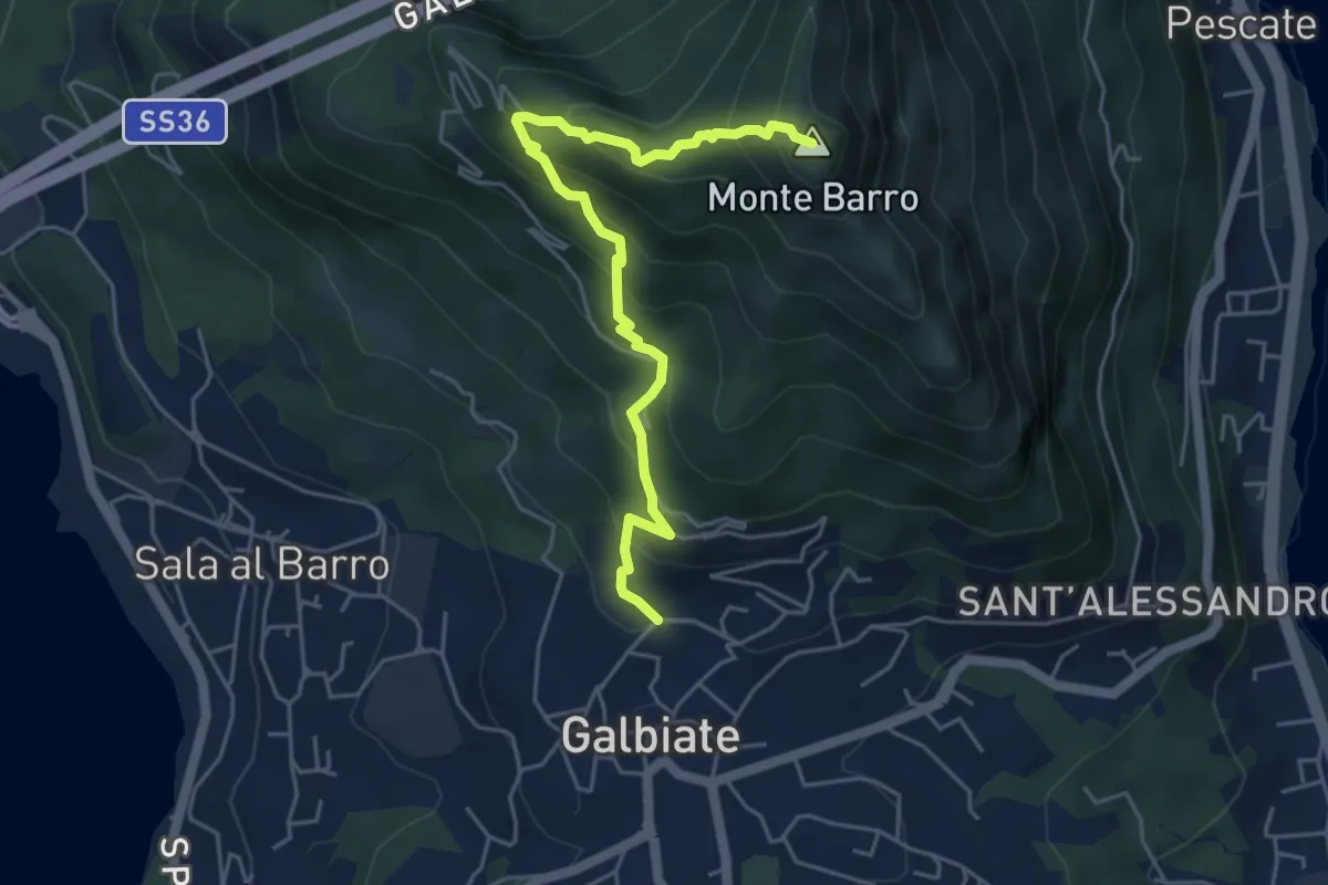
Demanding · Summit
Galbiate (lavatoio) – Monte Barro
5.3 km · ↑ 485 m · 2 h 18 min · 9 km away
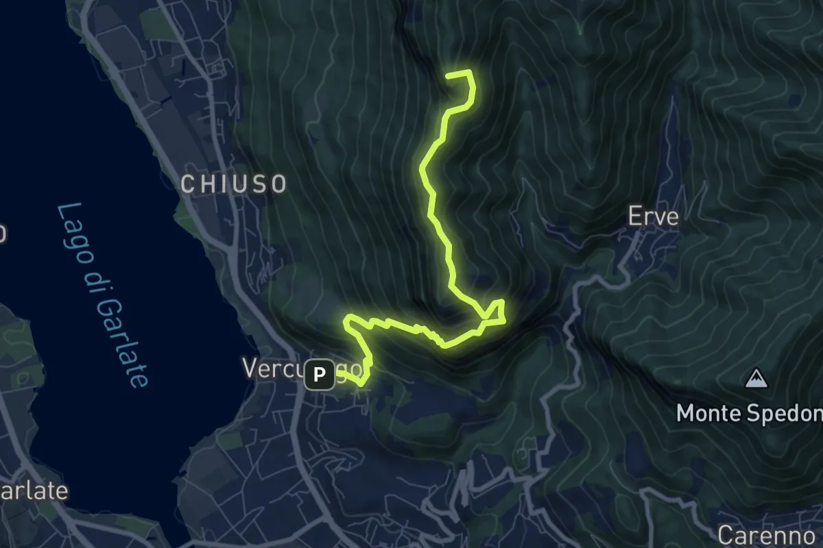
Demanding · Summit
Erve – Somasca (Vercurago)
8.6 km · ↑ 981 m · 4 h 9 min · 9 km away
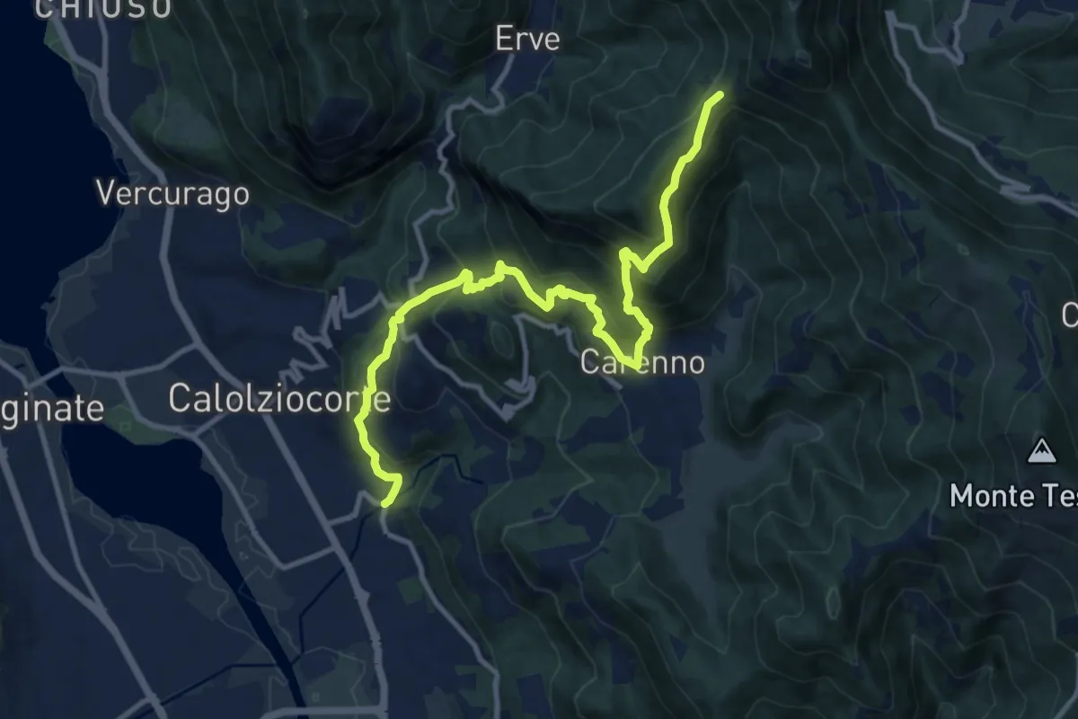
Demanding · Trail
Serta (Calolziocorte) – Passo della Pertulena
12.4 km · ↑ 967 m · 5 h 2 min · 9 km away
Medium · Summit
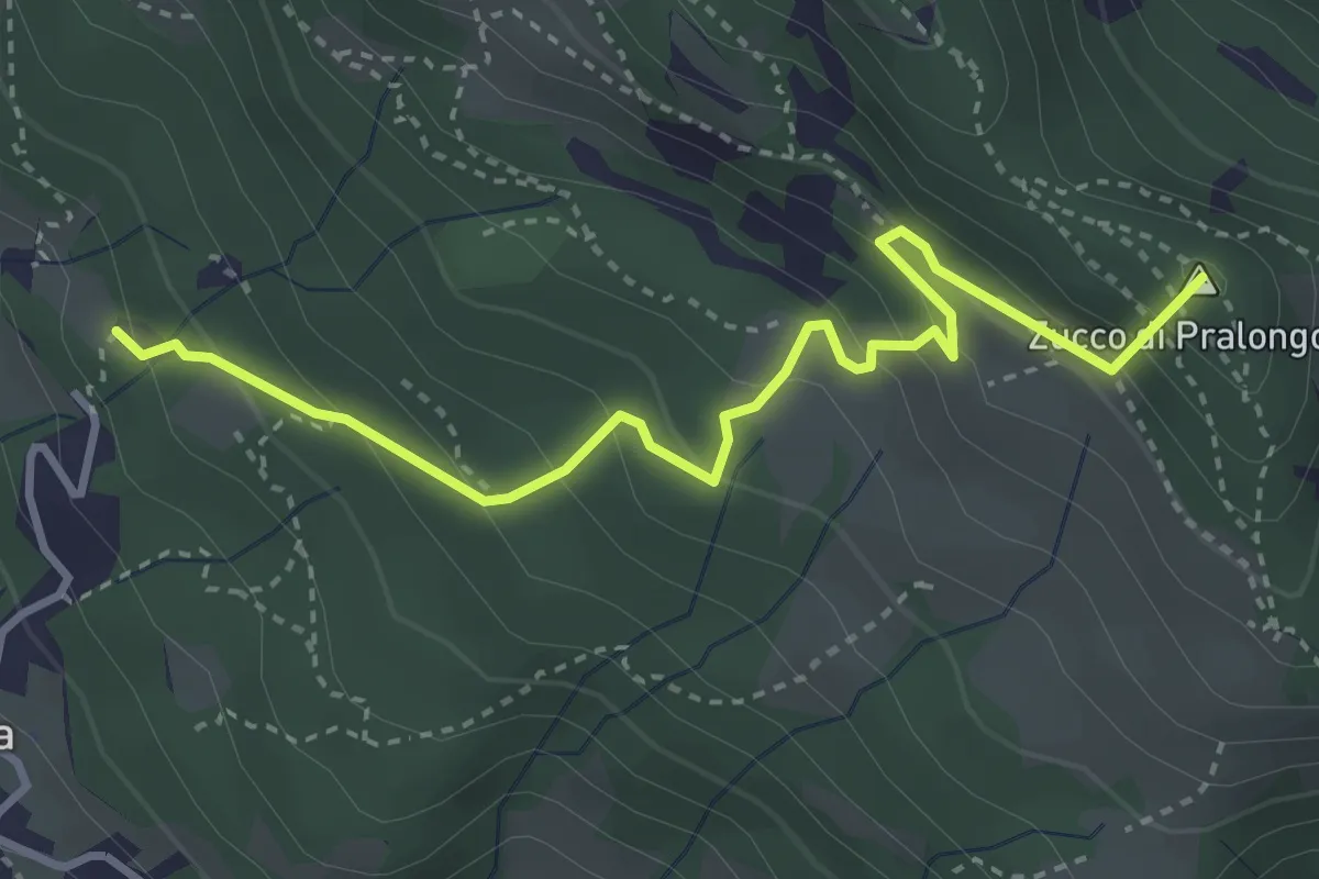
Fuipiano – Tre Faggi
3.8 km · ↑ 306 m · 1 h 34 min · 9 km away
Demanding · Trail
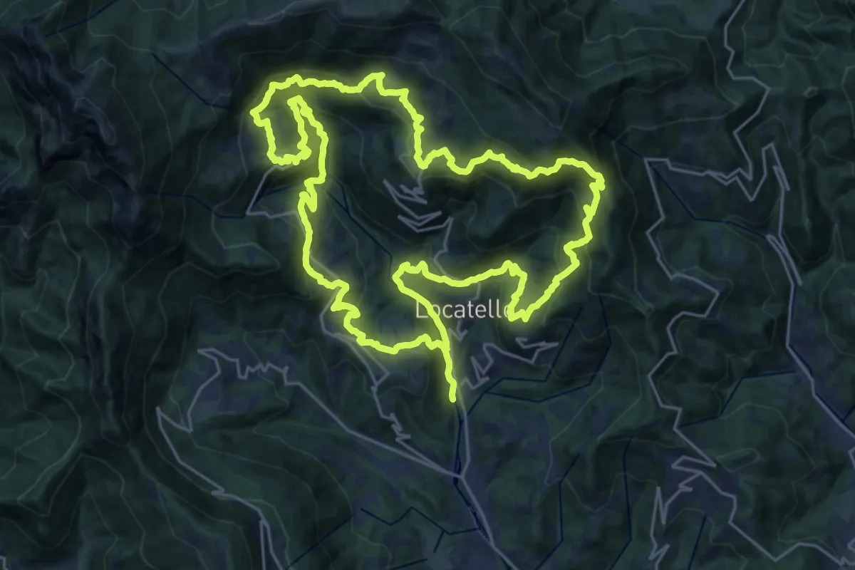
Sentiero dei Giganti
25.1 km · ↑ 1336 m · 9 h 10 min · 9 km away
Medium · Cabin
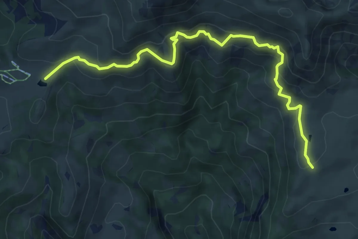
Rifugio Angelo Gherardi – Piani d'Artavaggio
8.6 km · ↑ 584 m · 3 h 18 min · 9 km away
Medium · Summit
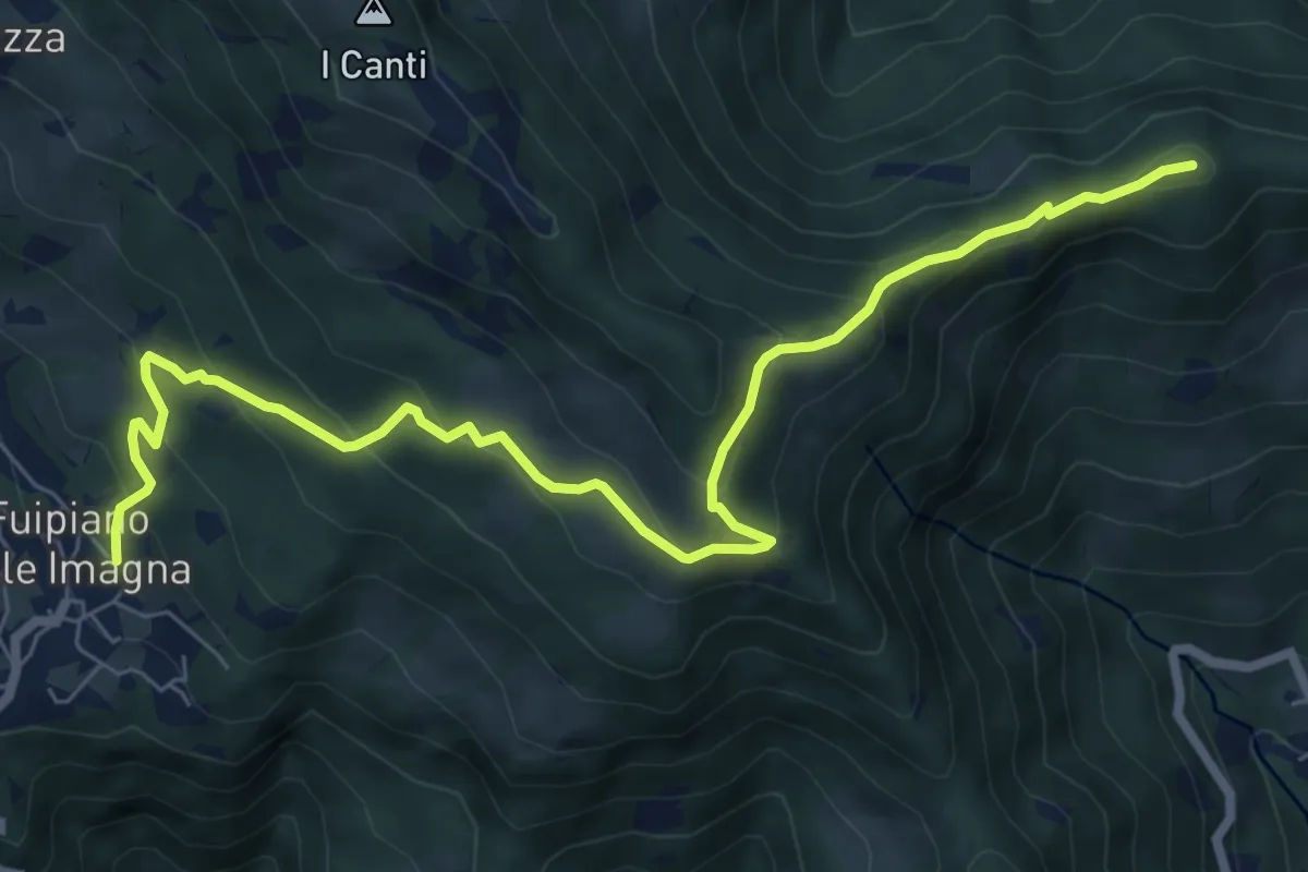
Sentiero dei Laghi Basso - Tappa 3
8.6 km · ↑ 491 m · 3 h 6 min · 9 km away
Demanding · Cabin
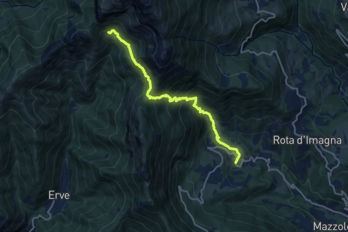
Valsecca – Capanna Alpinisti Monzesi
9.6 km · ↑ 868 m · 4 h 8 min · 9 km away
Demanding · Trail
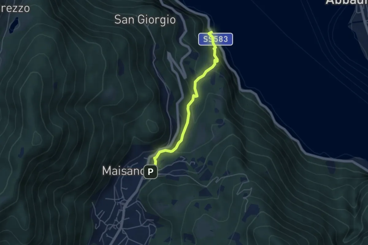
Caprante – San Rocco (Valbrona)
4.0 km · ↑ 284 m · 1 h 34 min · 9 km away
Medium · Trail
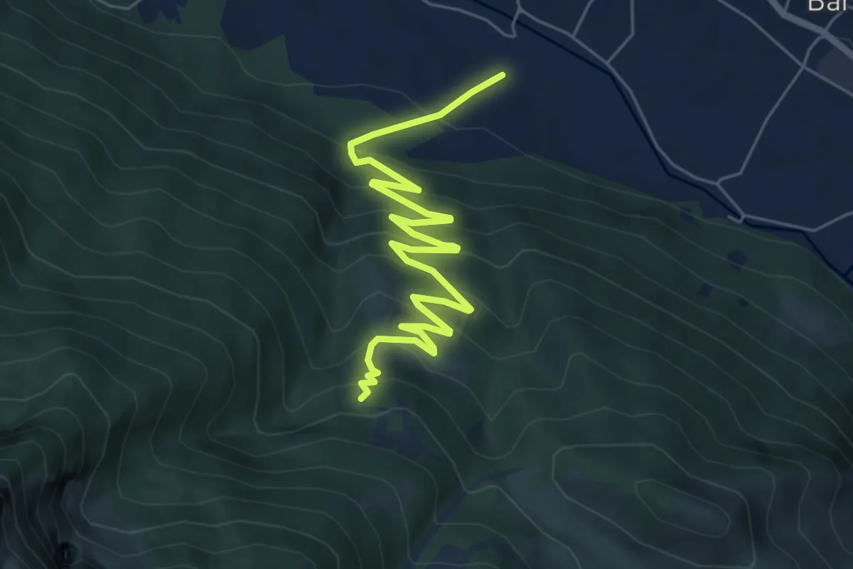
Sentiero 35: Primaluna - Rifugio Riva
7.2 km · ↑ 476 m · 2 h 44 min · 10 km away
Demanding · Summit
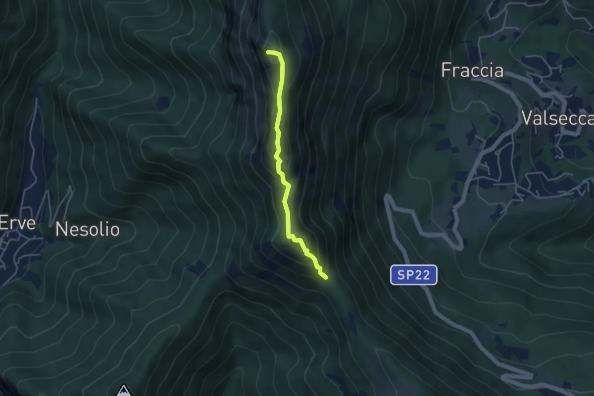
Passo del Pertüs – La Passata
3.3 km · ↑ 339 m · 1 h 30 min · 10 km away
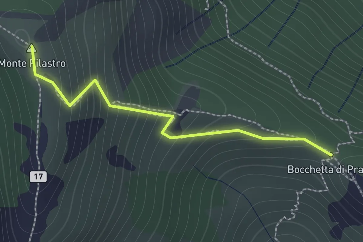
Demanding · Summit
Bocchetta di Prada - Monte Croce
1.4 km · ↑ 184 m · 44 min · 10 km away
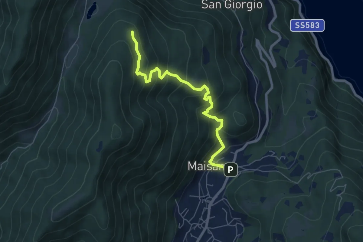
Medium · Trail
San Rocco (Valbrona) – Alpe di Piano
5.8 km · ↑ 478 m · 2 h 24 min · 10 km away
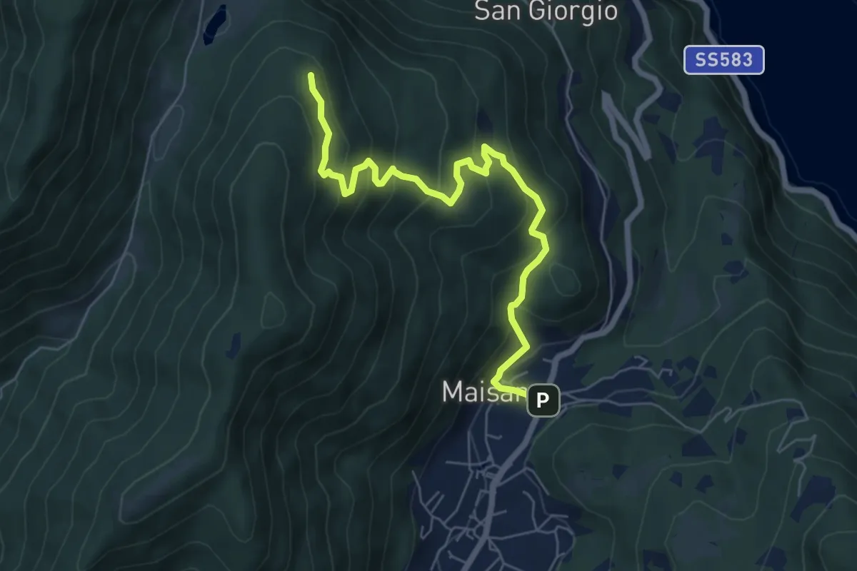
Medium · Trail
San Rocco (Valbrona) – Alpe di Piano
6.6 km · ↑ 472 m · 2 h 35 min · 10 km away
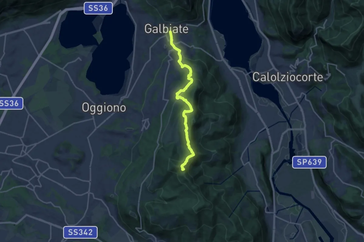
Medium · Summit
Olgiate Molgora (FS) – Galbiate
14.3 km · ↑ 669 m · 4 h 50 min · 10 km away
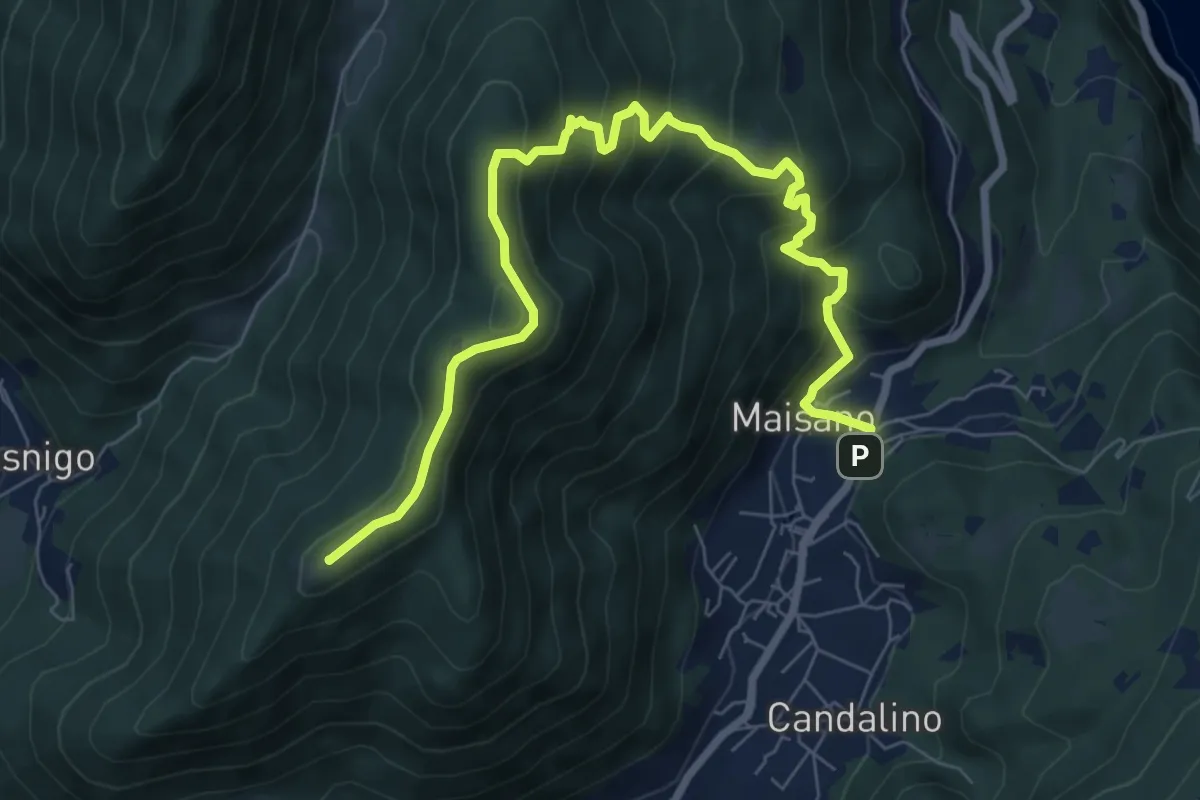
Medium · Summit
Valbrona - Maisano – Monte Megna
9.1 km · ↑ 626 m · 3 h 30 min · 10 km away
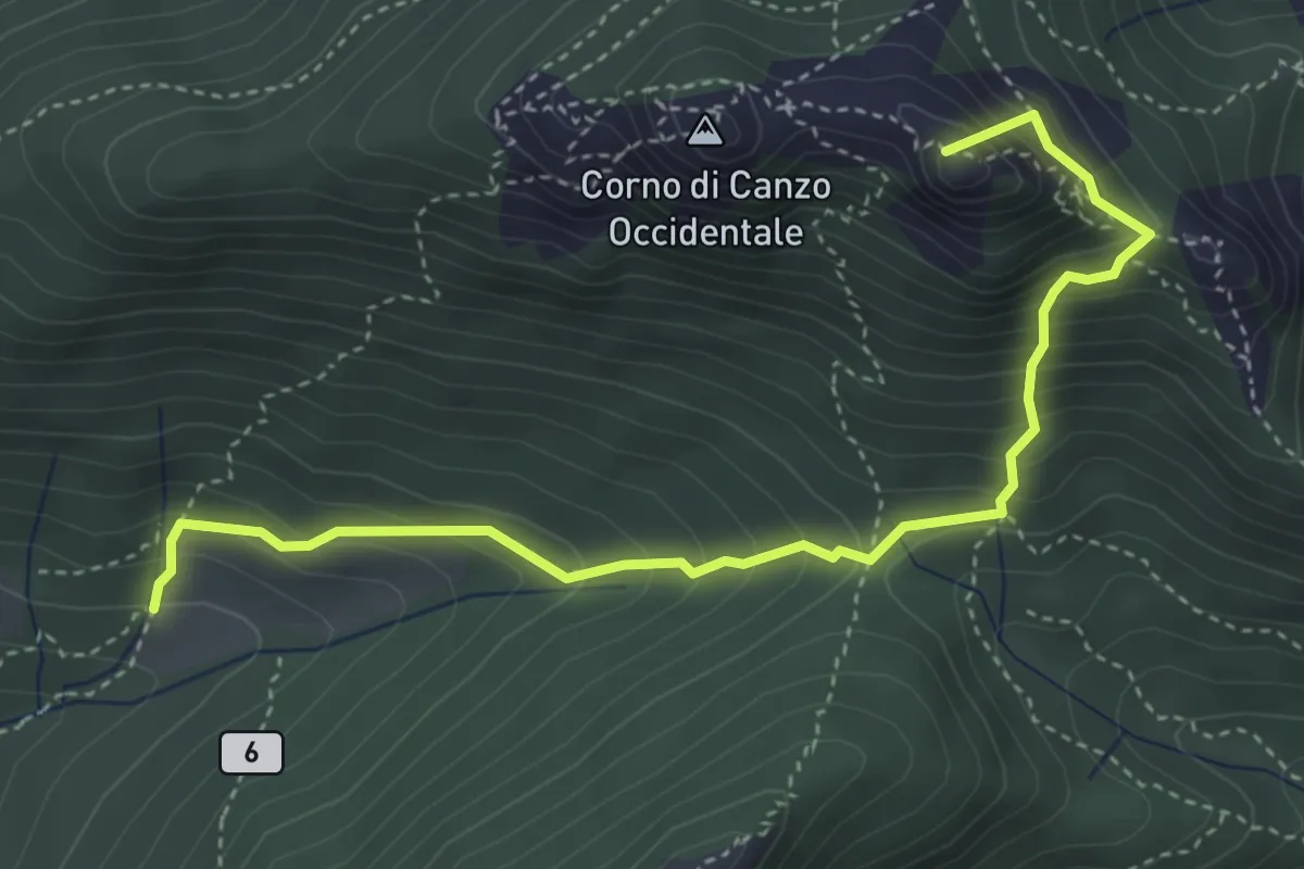
Medium · Summit
Terz'Alpe – Rifugio SEV Pianezzo
4.5 km · ↑ 519 m · 2 h 11 min · 10 km away
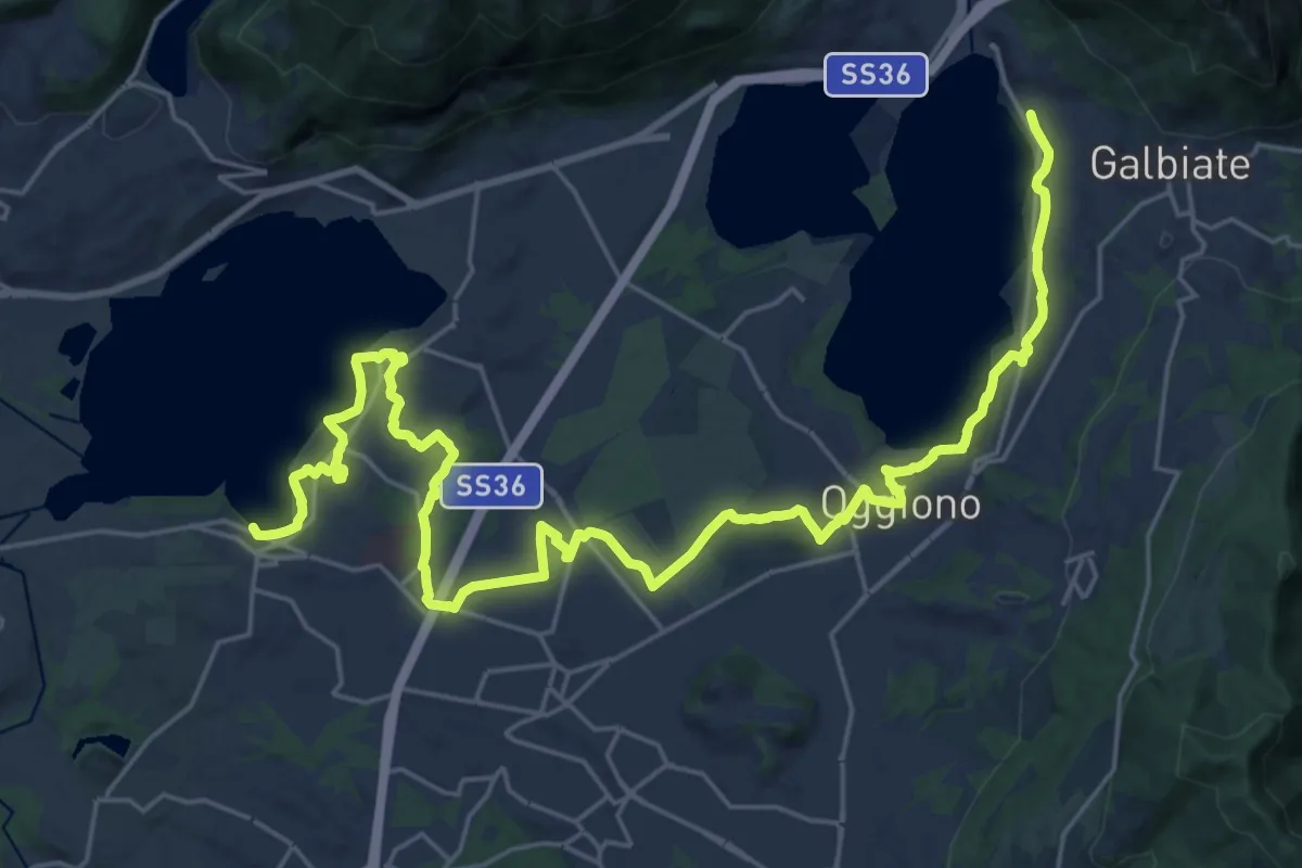
Medium · Trail
Sentiero Pedemonte - Tappa 3
16.6 km · ↑ 163 m · 4 h 30 min · 10 km away
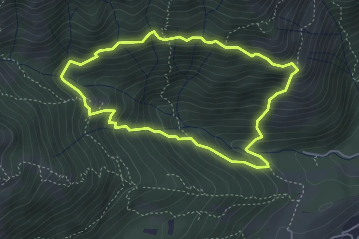
Medium · Summit
Anello dei Tre Casott
3.5 km · ↑ 387 m · 1 h 42 min · 10 km away
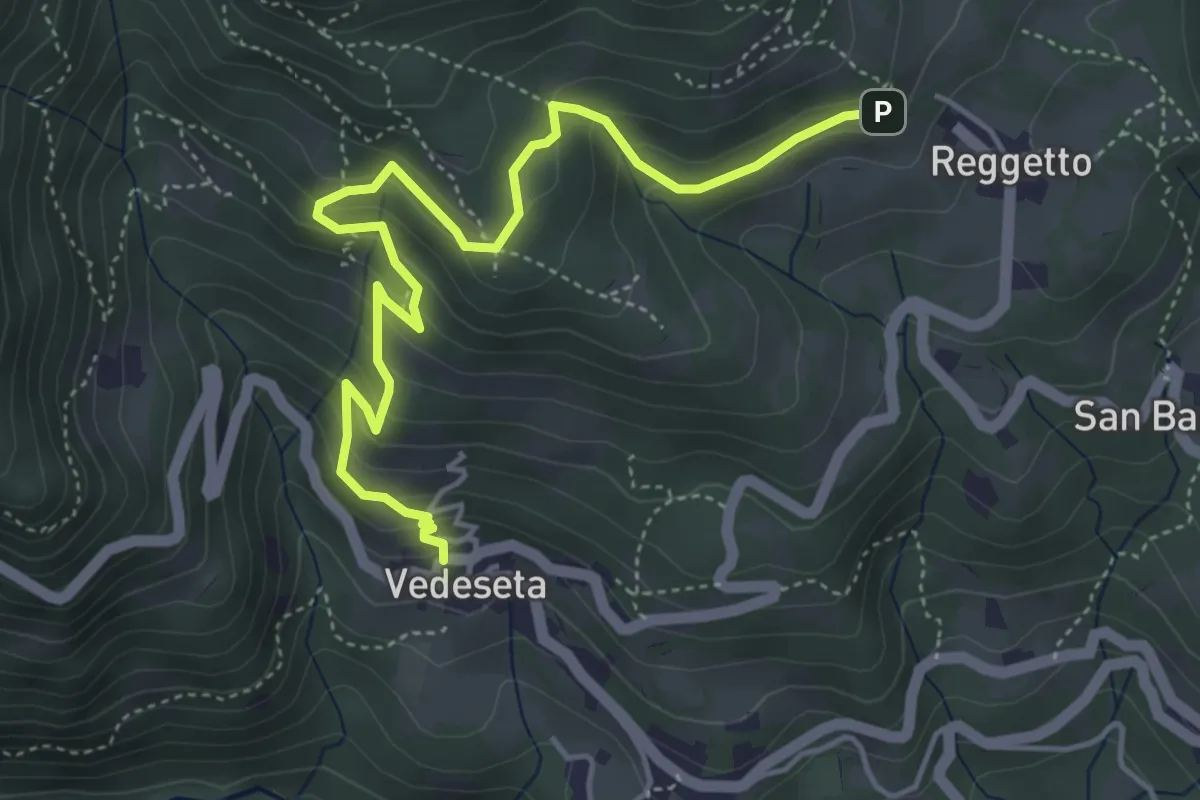
Medium · Trail
Vedeseta – Reggetto
5.4 km · ↑ 387 m · 2 h 7 min · 10 km away
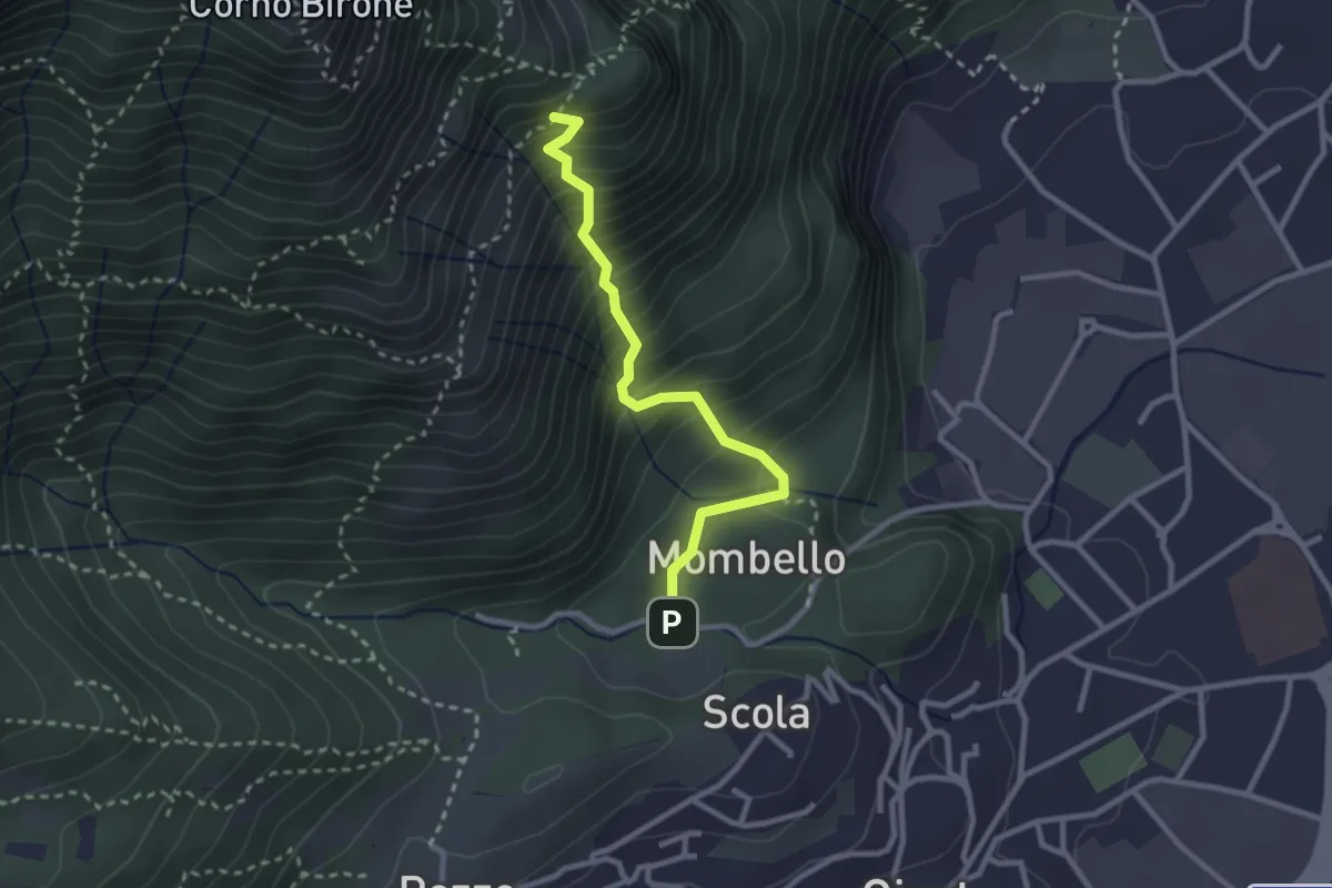
Medium · Trail
Mombello – Innesto 8 SEC
2.7 km · ↑ 375 m · 1 h 27 min · 10 km away
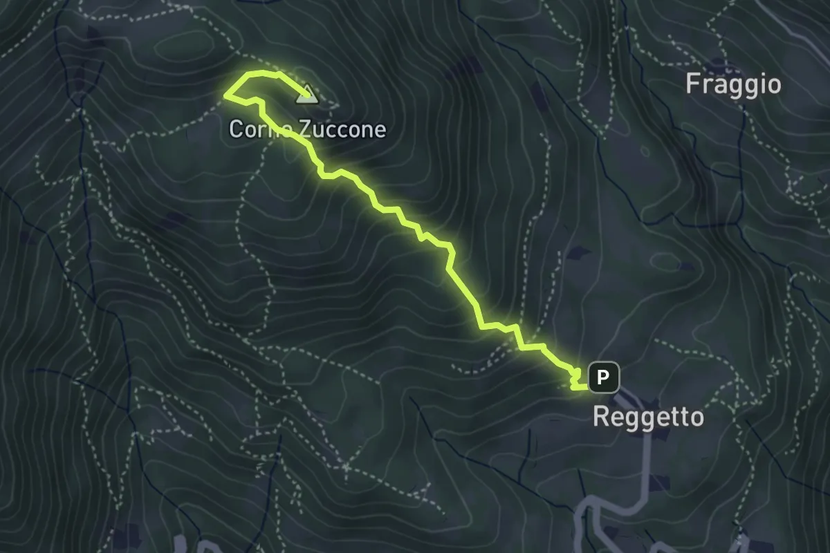
Demanding · Summit
Reggetto – Corno Zuccone (incrocio 151)
4.1 km · ↑ 405 m · 1 h 51 min · 10 km away
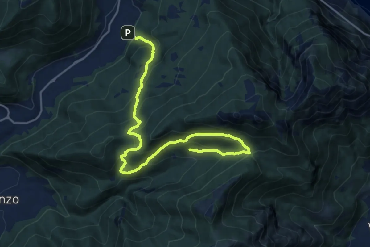
Demanding · Trail
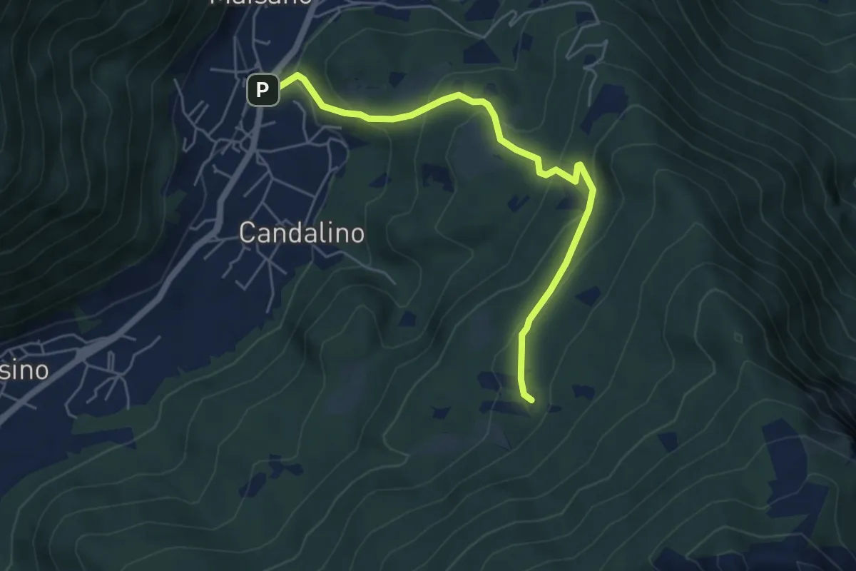
Candalino – Terz'Alpe
13.4 km · ↑ 1138 m · 5 h 37 min · 10 km away
Medium · Trail
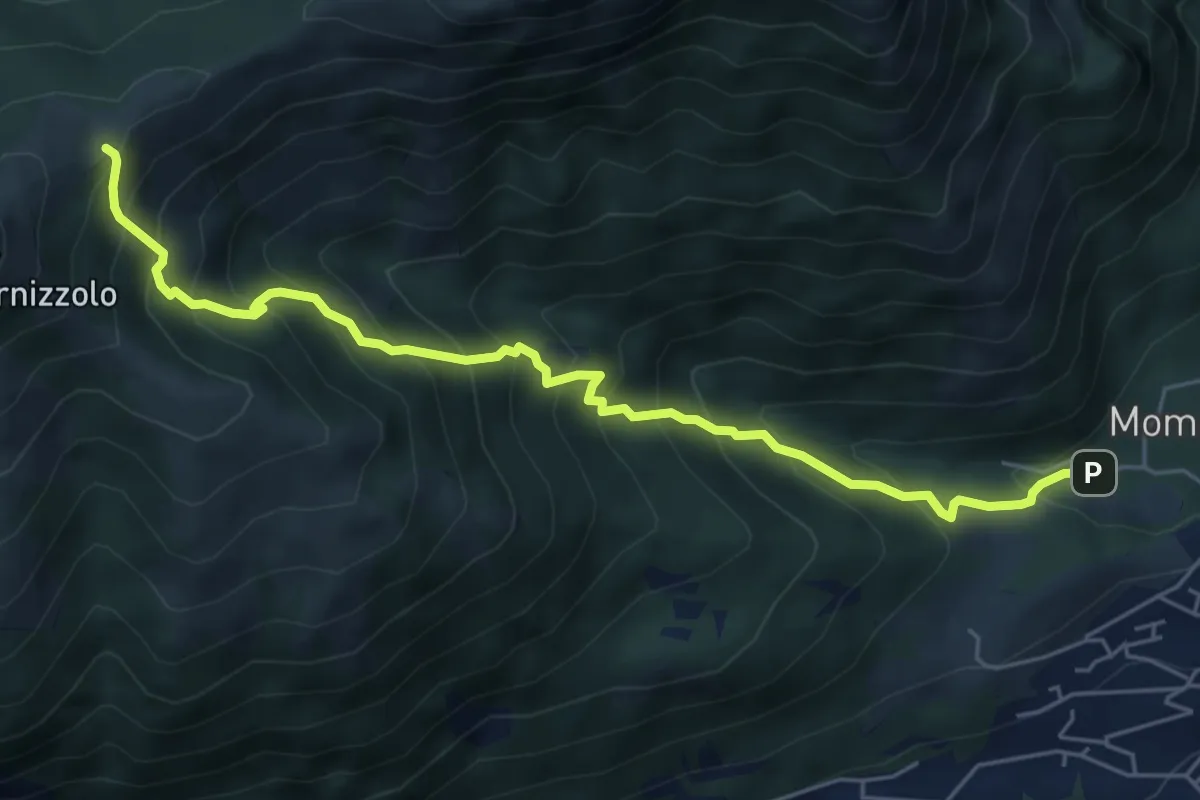
Osigo (Valbrona) – Valcerrina
5.4 km · ↑ 323 m · 1 h 58 min · 10 km away
Medium · Cabin
Pozzo – Rifugio SEC Marisa Consigliere
6.2 km · ↑ 778 m · 3 h 9 min · 10 km away
Medium · Trail
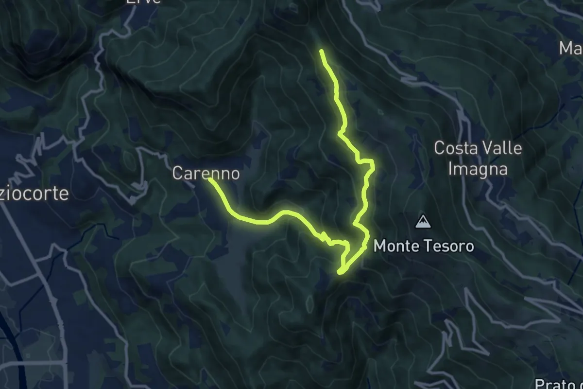
Carenno – Pertüs
11.3 km · ↑ 683 m · 4 h 9 min · 10 km away
Medium · Trail
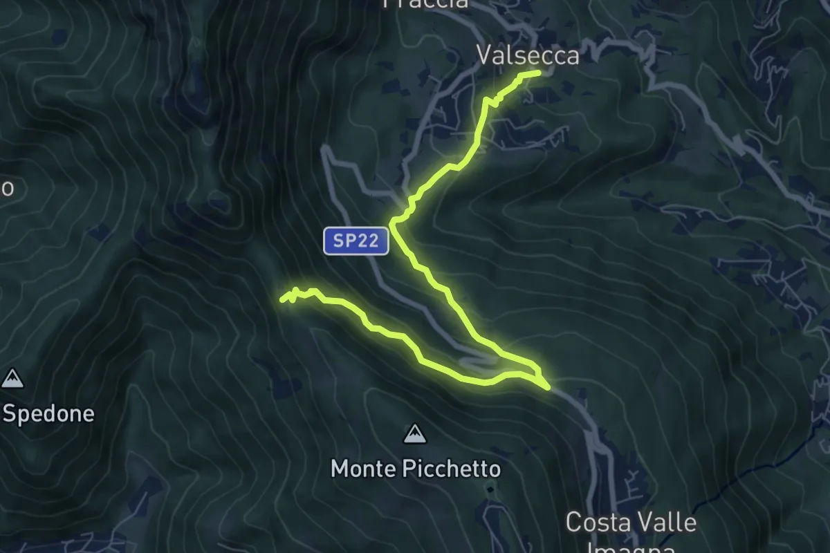
Valsecca – Pertüs
8.3 km · ↑ 616 m · 3 h 17 min · 10 km away
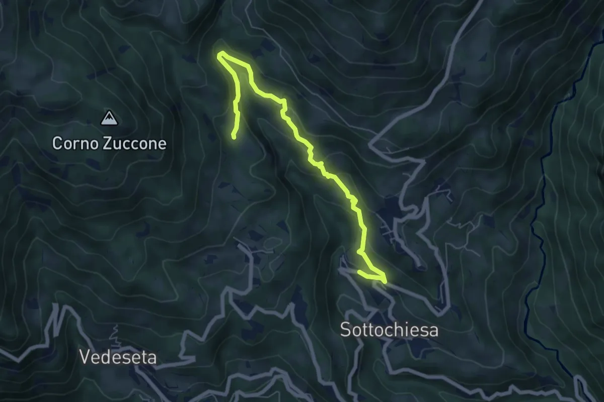
Medium · Trail
Sottochiesa – Fraggio
6.7 km · ↑ 312 m · 2 h 15 min · 10 km away
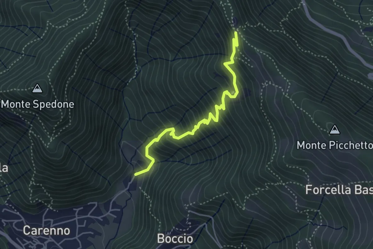
Medium · Trail
Carenno – Pertüs
4.2 km · ↑ 509 m · 2 h 6 min · 10 km away
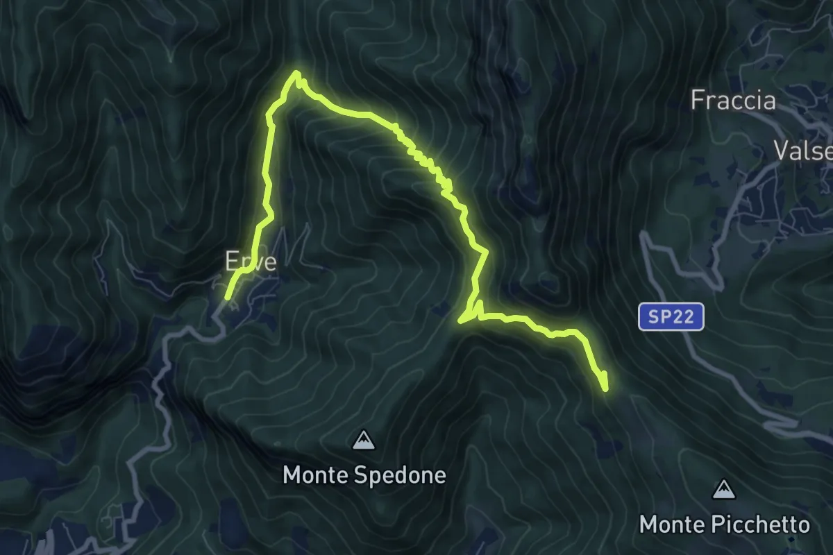
Demanding · Trail
Convento del Pertus – Erve, Piazza del Municipio
10.4 km · ↑ 869 m · 4 h 20 min · 10 km away
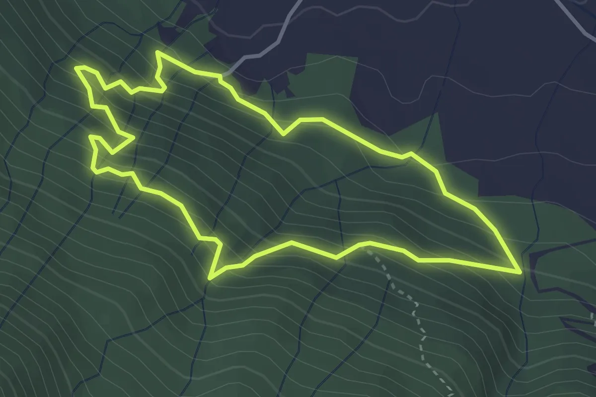
Medium · Trail
Sentiero delle Miniere
3.2 km · ↑ 341 m · 1 h 33 min · 10 km away
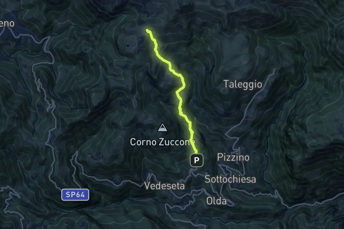
Medium · Trail
Reggetto (Vedeseta) – Piani di Artavaggio
10.4 km · ↑ 722 m · 4 h 1 min · 10 km away
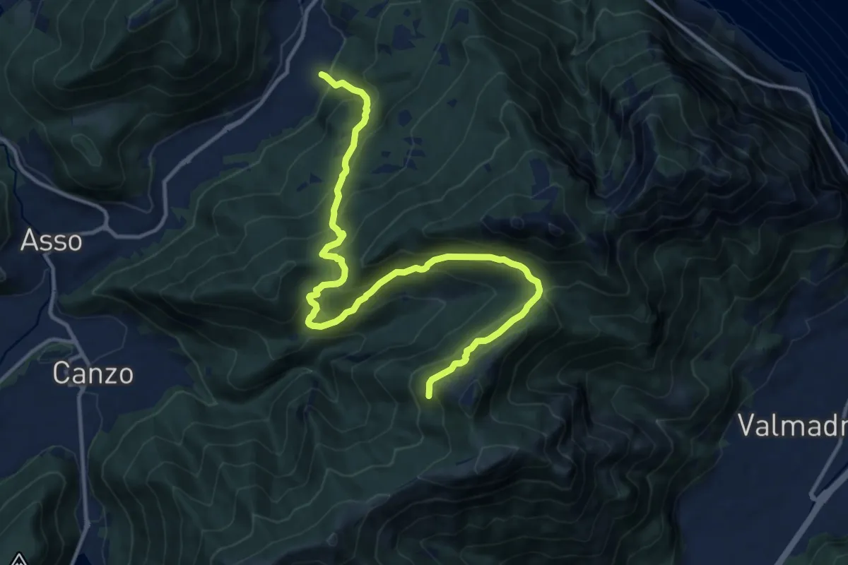
Demanding · Trail
Candalino – Alpe Alto
14.3 km · ↑ 1171 m · 5 h 55 min · 10 km away
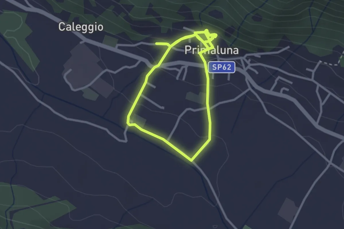
Easy · Trail
Ri-vivi Primaluna
2.5 km · ↑ 109 m · 52 min · 10 km away
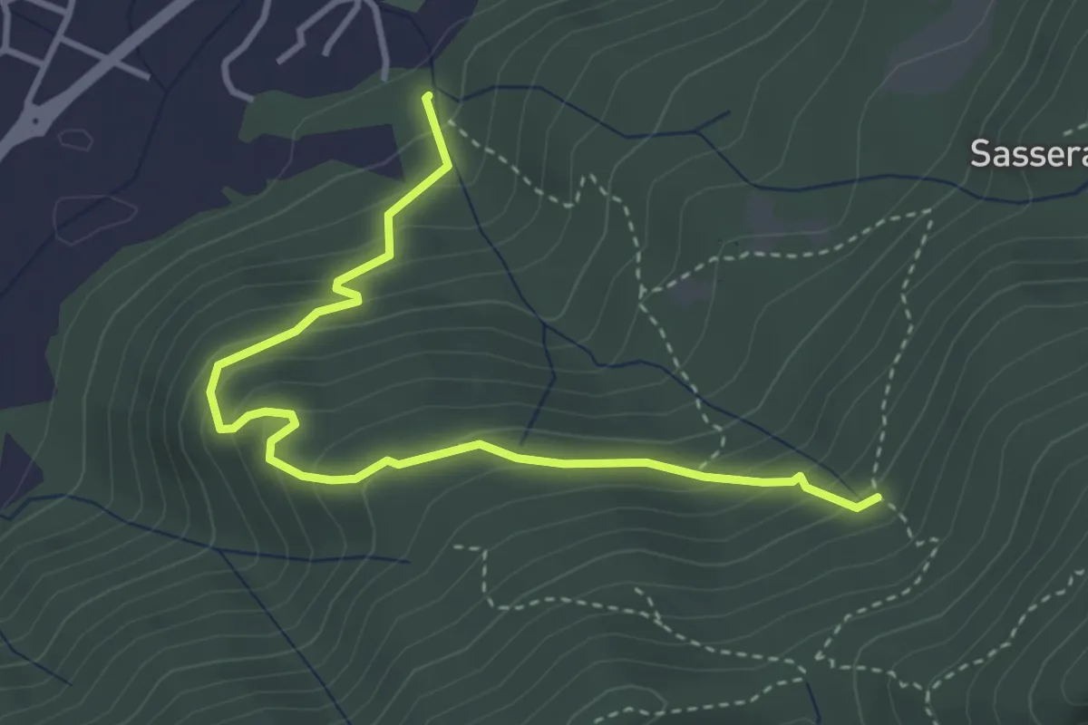
Easy · Trail
Ponte Castel – Sorgente (Valbrona)
4.0 km · ↑ 308 m · 1 h 37 min · 10 km away
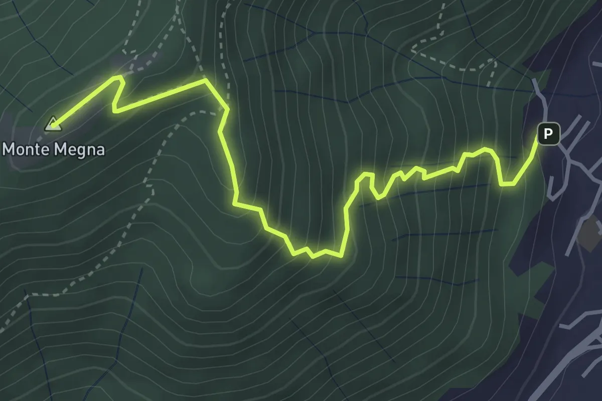
Demanding · Summit
Erta del Giubileo
4.3 km · ↑ 483 m · 2 h 3 min · 10 km away
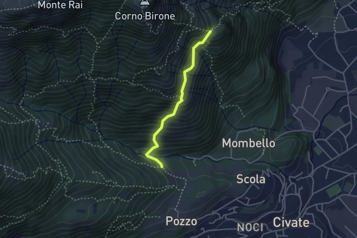
Medium · Trail
Cascina Oro – Ceppo della Forcola
2.6 km · ↑ 345 m · 1 h 22 min · 10 km away
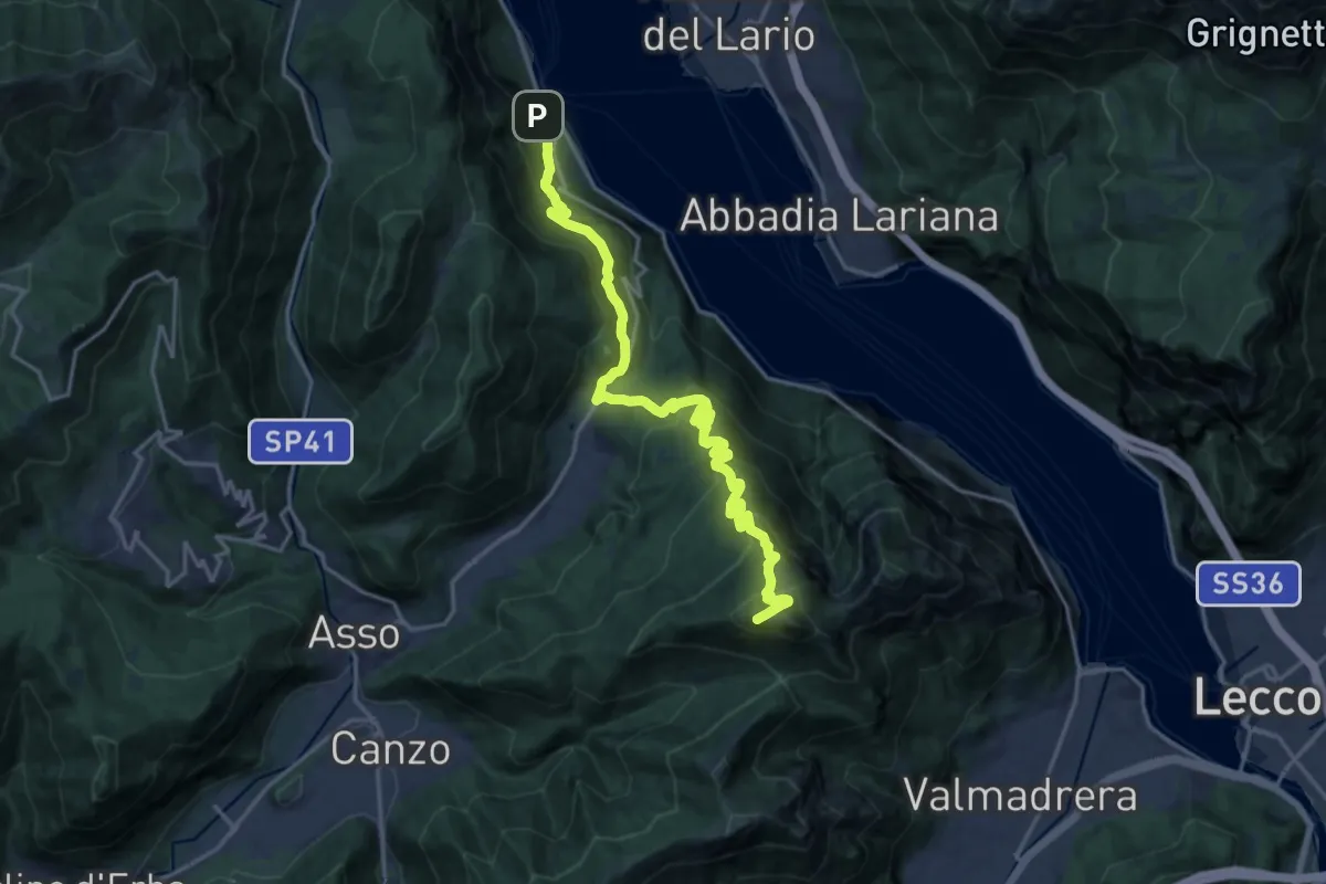
Demanding · Summit
Lago del Segrino – Onno (Oliveto Lario)
19.3 km · ↑ 1178 m · 7 h 7 min · 10 km away
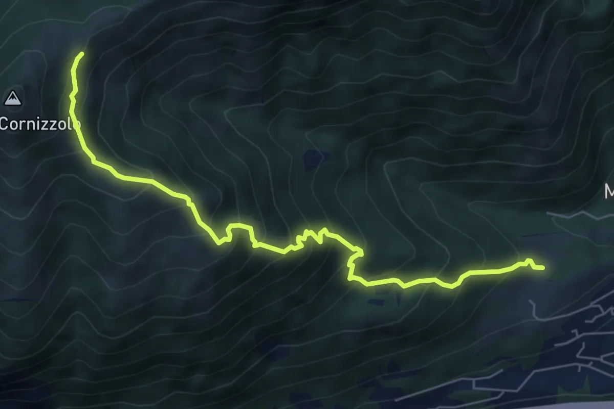
Medium · Cabin
Pozzo – Rifugio SEC Marisa Consigliere
6.7 km · ↑ 747 m · 3 h 12 min · 10 km away