Trails near Ballabio
379 hikes starting within 15 km, nearest first.
Nearest first, page 6 of 8
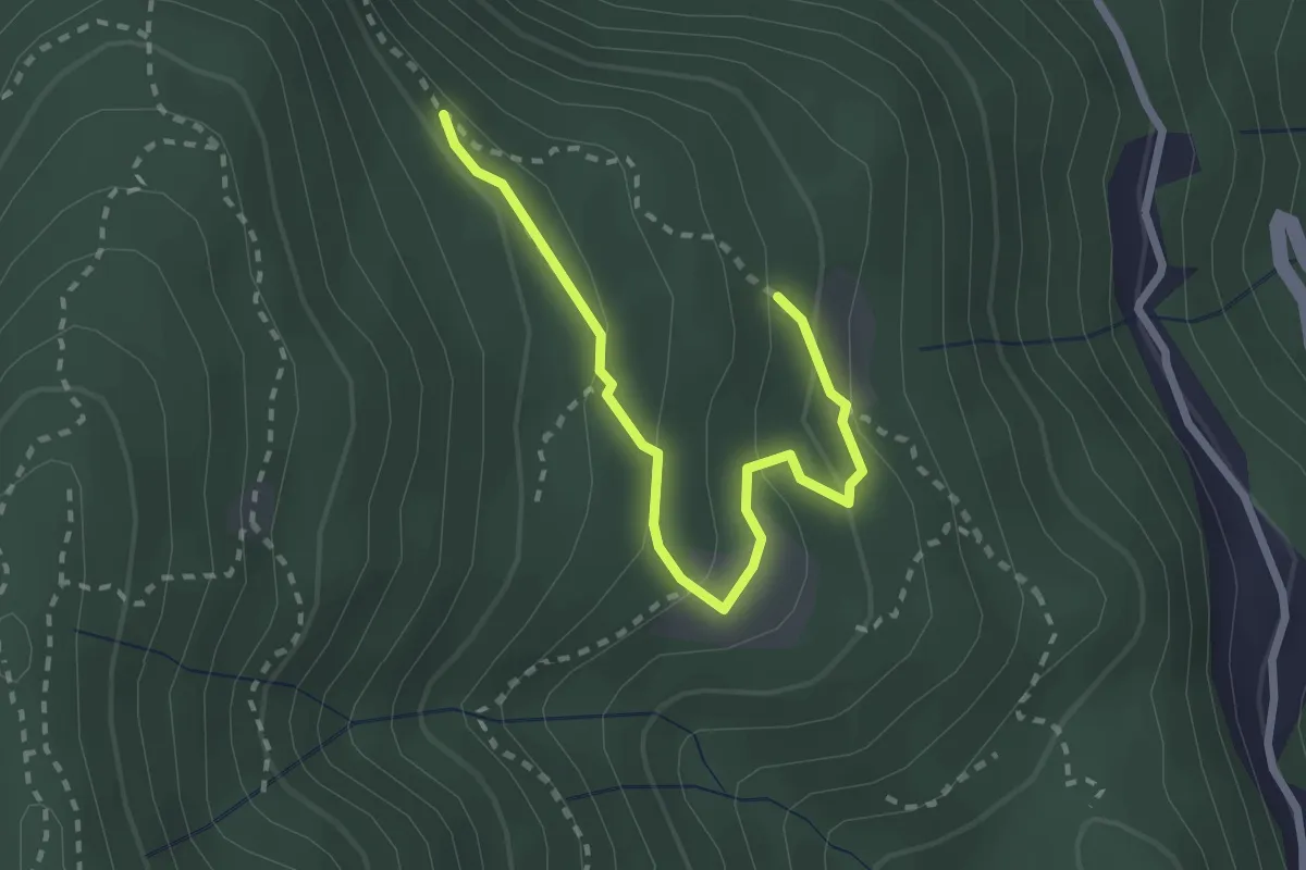
Easy · Trail
Alpe di Prezzapino – Alpe di Monte
2.7 km · ↑ 133 m · 55 min · 10 km away
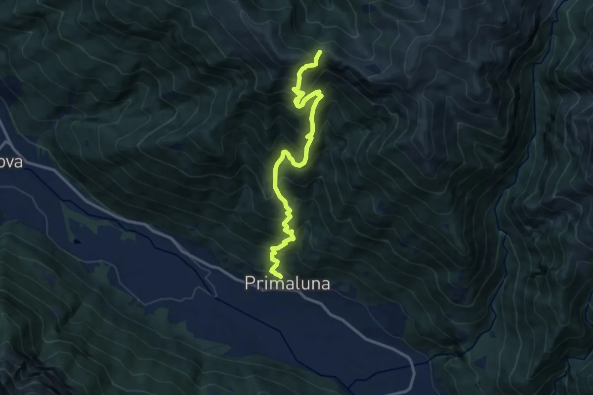
Demanding · Trail
Primaluna – Bocchetta di Olino
9.4 km · ↑ 1233 m · 4 h 54 min · 10 km away
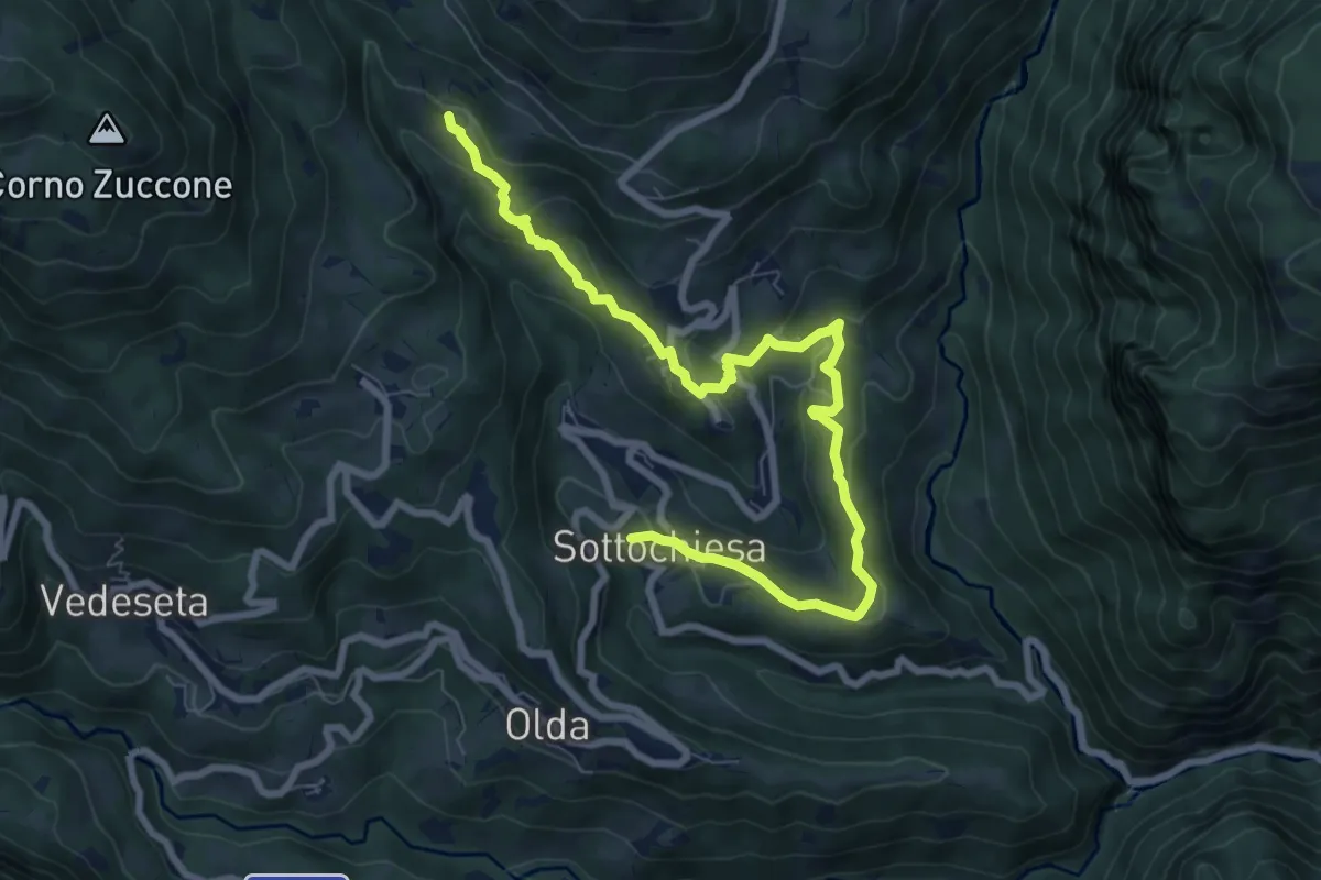
Medium · Trail
Via del paesaggio sacro e della storia
9.1 km · ↑ 403 m · 3 h 2 min · 10 km away
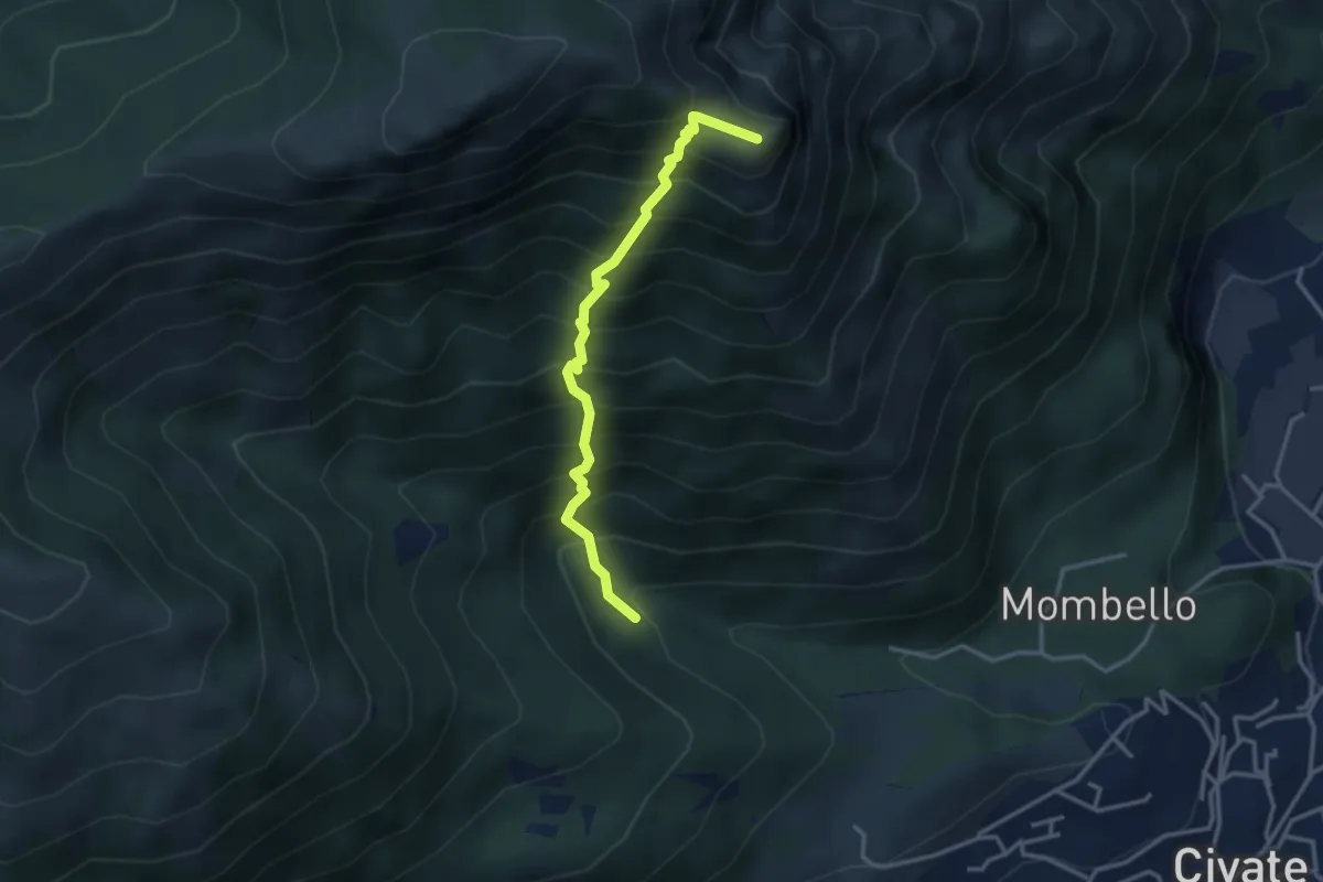
Medium · Summit
Innesto 10 SEC – Innesto 1 OSA
3.2 km · ↑ 652 m · 2 h 10 min · 10 km away
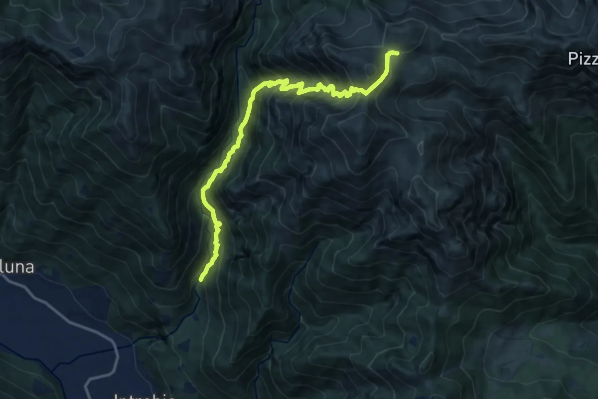
Demanding · Cabin
Sentiero 34 della Val Bona
11.1 km · ↑ 1365 m · 5 h 35 min · 10 km away
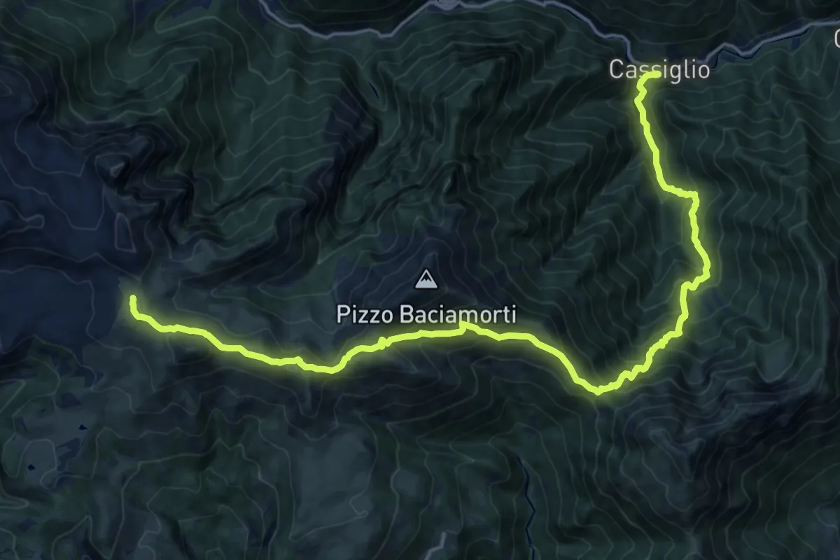
Medium · Trail
Sentiero delle Orobie Occidentali 101 - Tappa 1
10.9 km · ↑ 158 m · 3 h 42 min · 10 km away
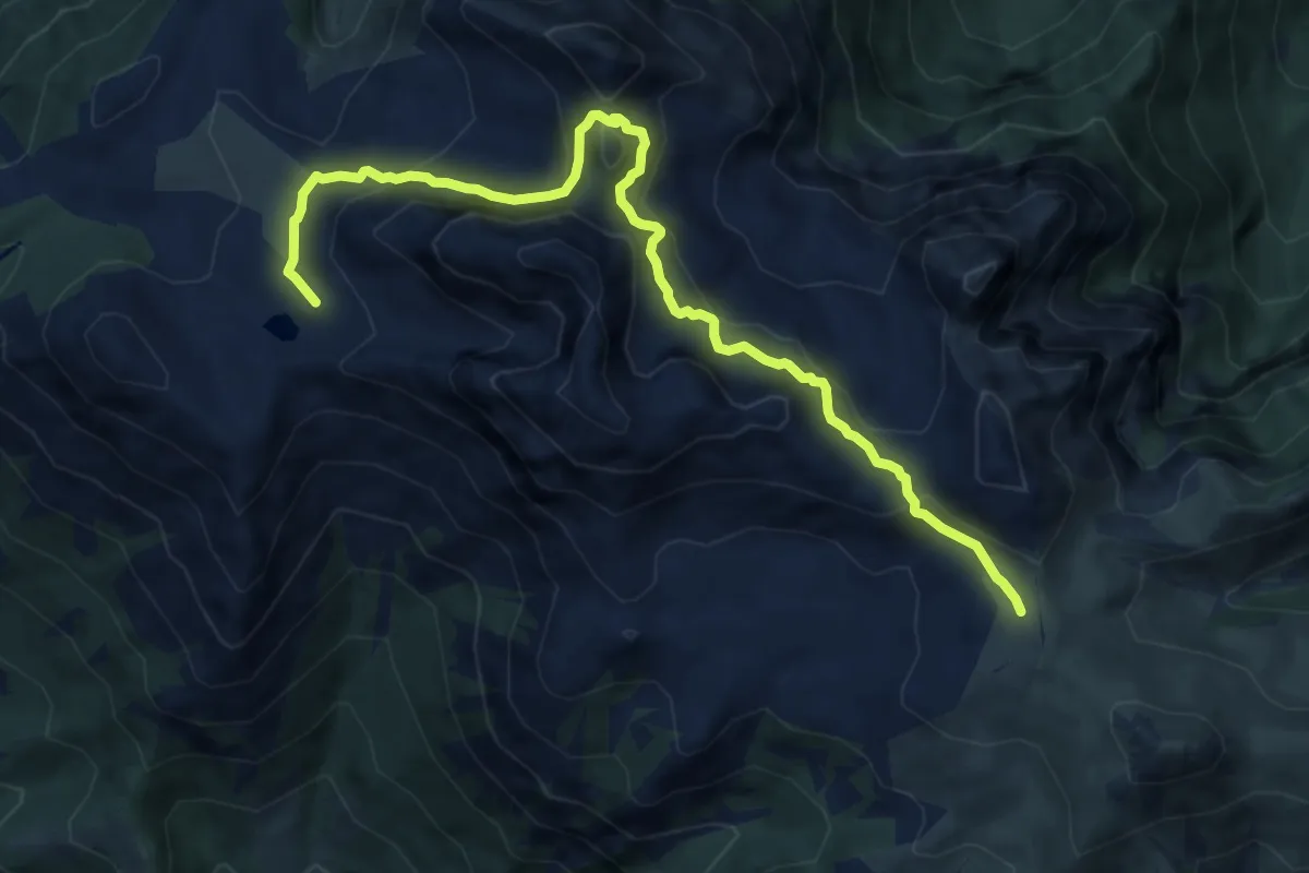
Demanding · Cabin
Sentiero delle Orobie Occidentali 101 - Tappa 2
10.5 km · ↑ 710 m · 4 h 2 min · 10 km away
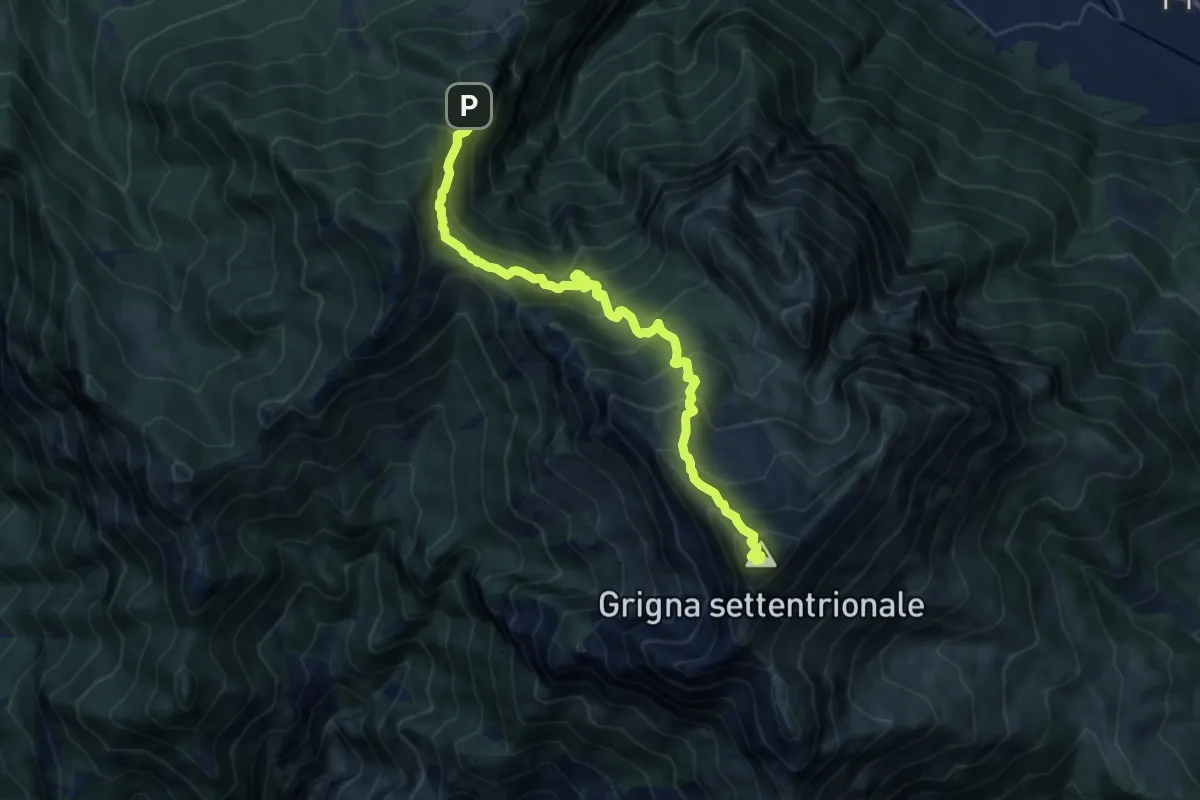
Demanding · Summit
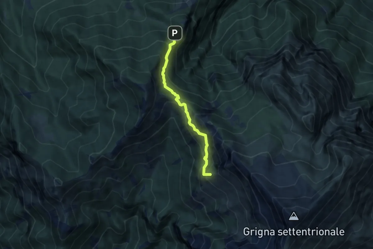
Esino - Rifugio Brioschi
10.7 km · ↑ 1273 m · 5 h 16 min · 11 km away
Medium · Summit
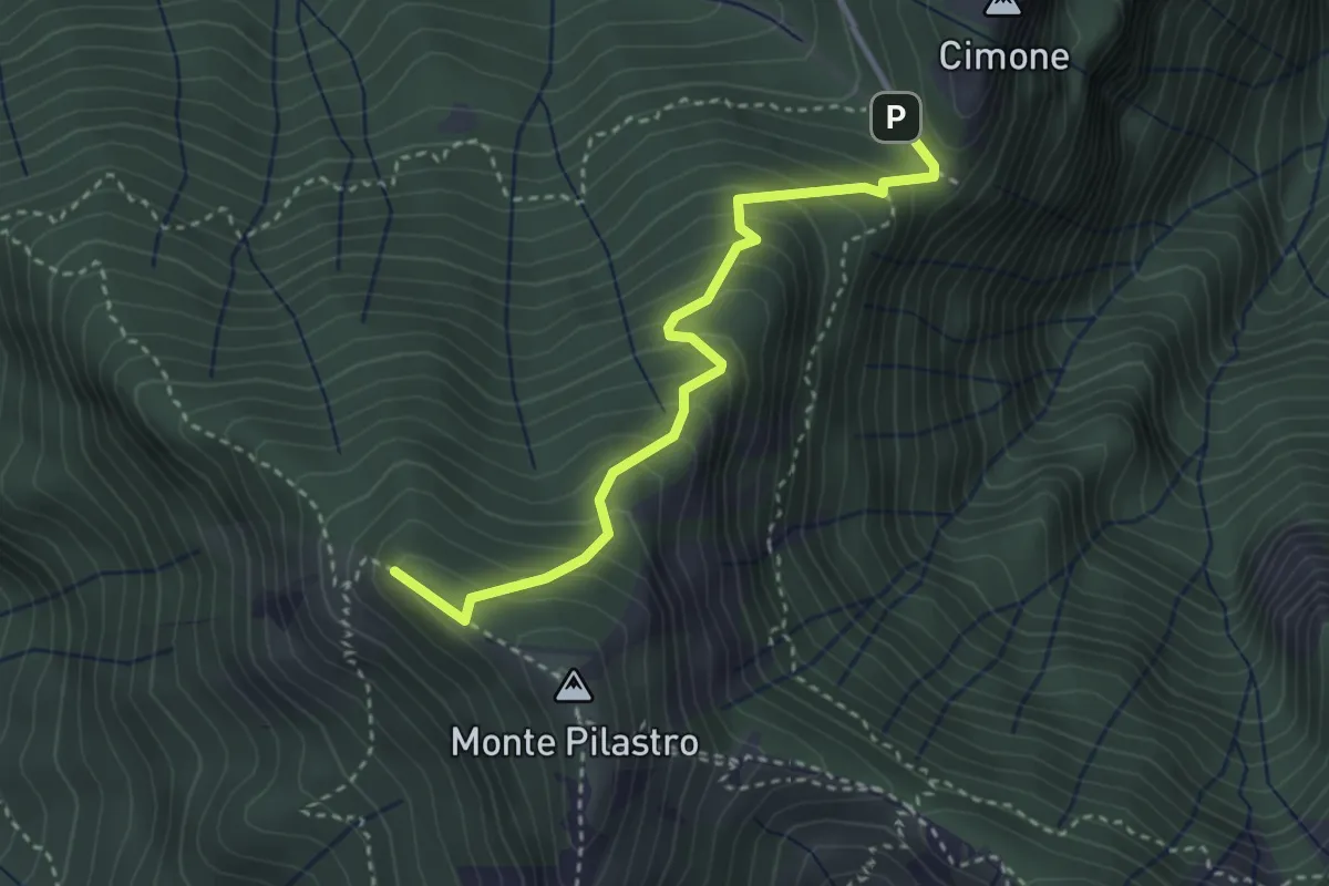
Cainallo - Rifugio Bietti
6.2 km · ↑ 536 m · 2 h 38 min · 11 km away
Medium · Summit
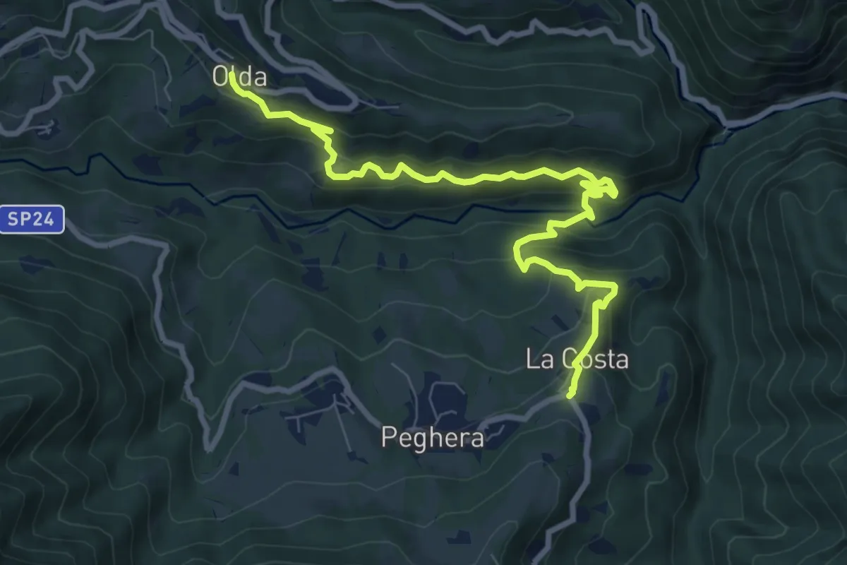
Vo di Moncodeno - Monte Croce
3.2 km · ↑ 355 m · 1 h 32 min · 11 km away
Medium · Trail
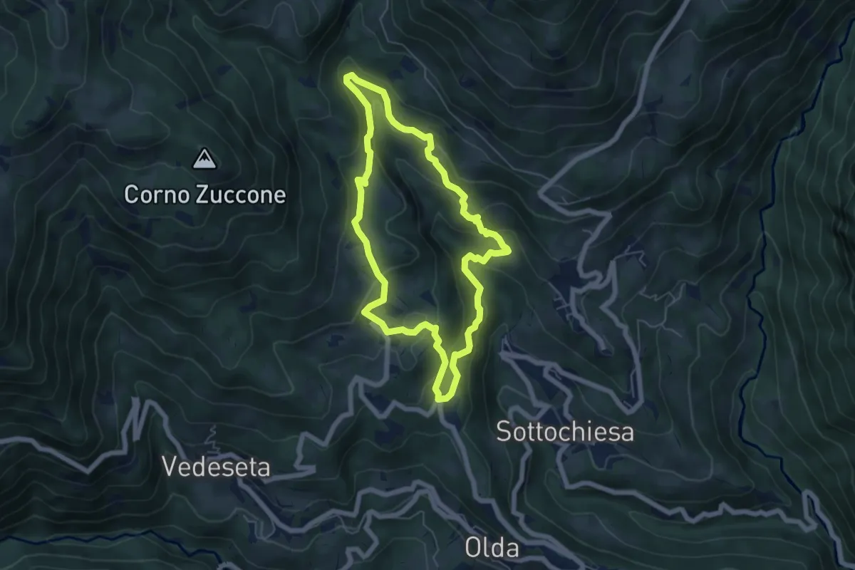
Olda – Costa di Peghera
8.9 km · ↑ 653 m · 3 h 31 min · 11 km away
Medium · Trail
Sentiero della Cultura Casearia
5.4 km · ↑ 277 m · 1 h 57 min · 11 km away
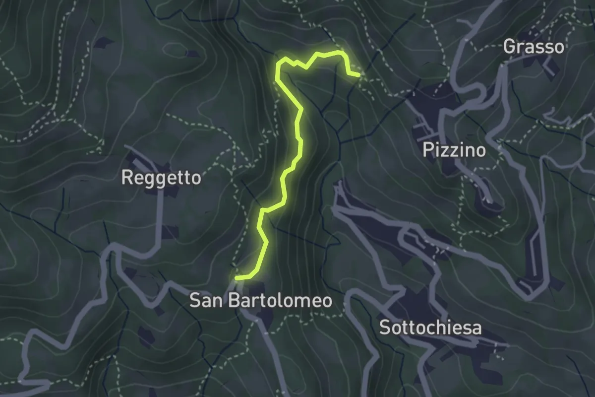
Medium · Trail
San Bartolomeo – Santuario di Salzana
2.8 km · ↑ 154 m · 59 min · 11 km away
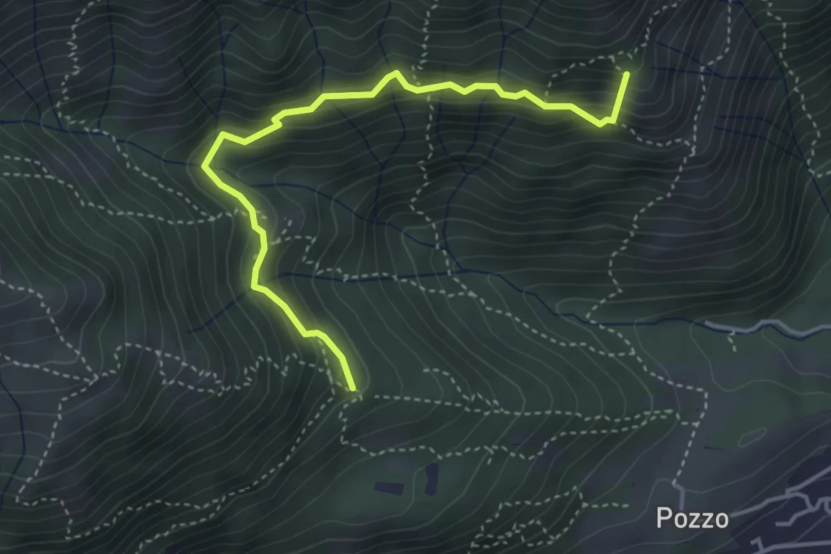
Medium · Summit
Tre Casott – Dosso della Guardia
4.1 km · ↑ 347 m · 1 h 43 min · 11 km away
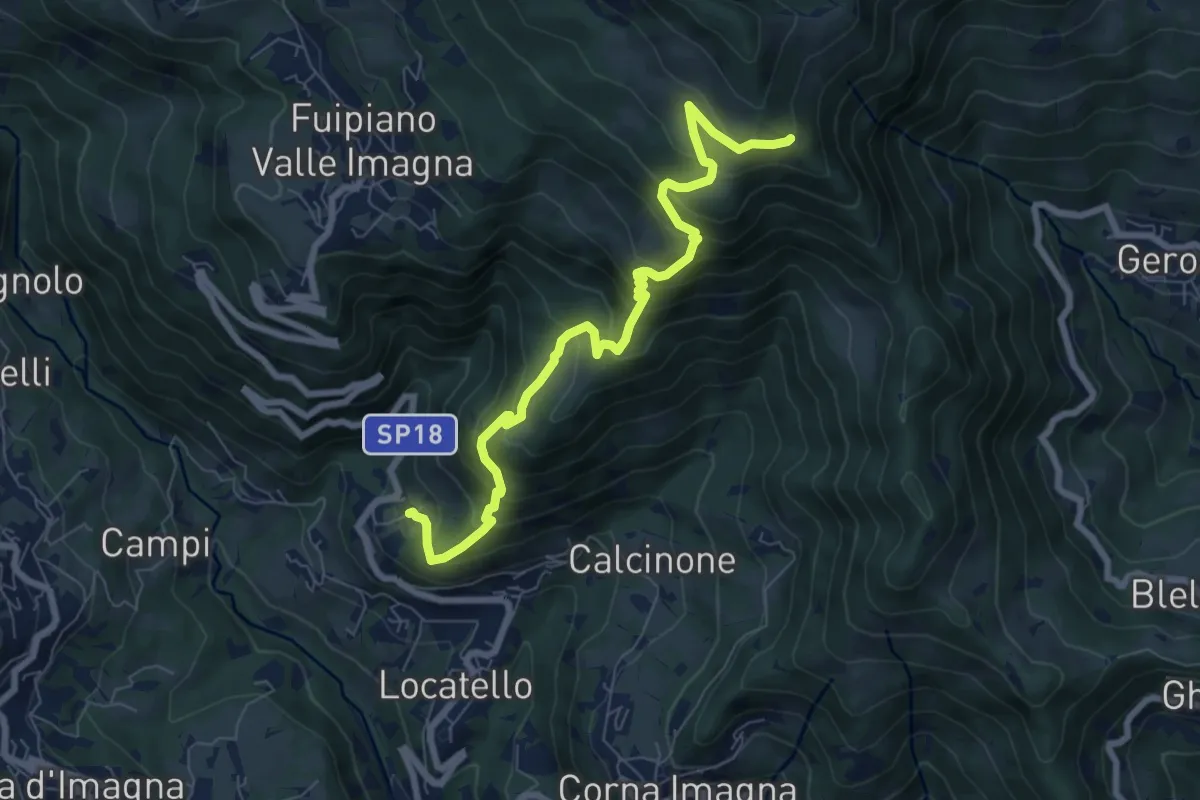
Medium · Trail
Locatello – Tre Faggi
8.1 km · ↑ 678 m · 3 h 23 min · 11 km away
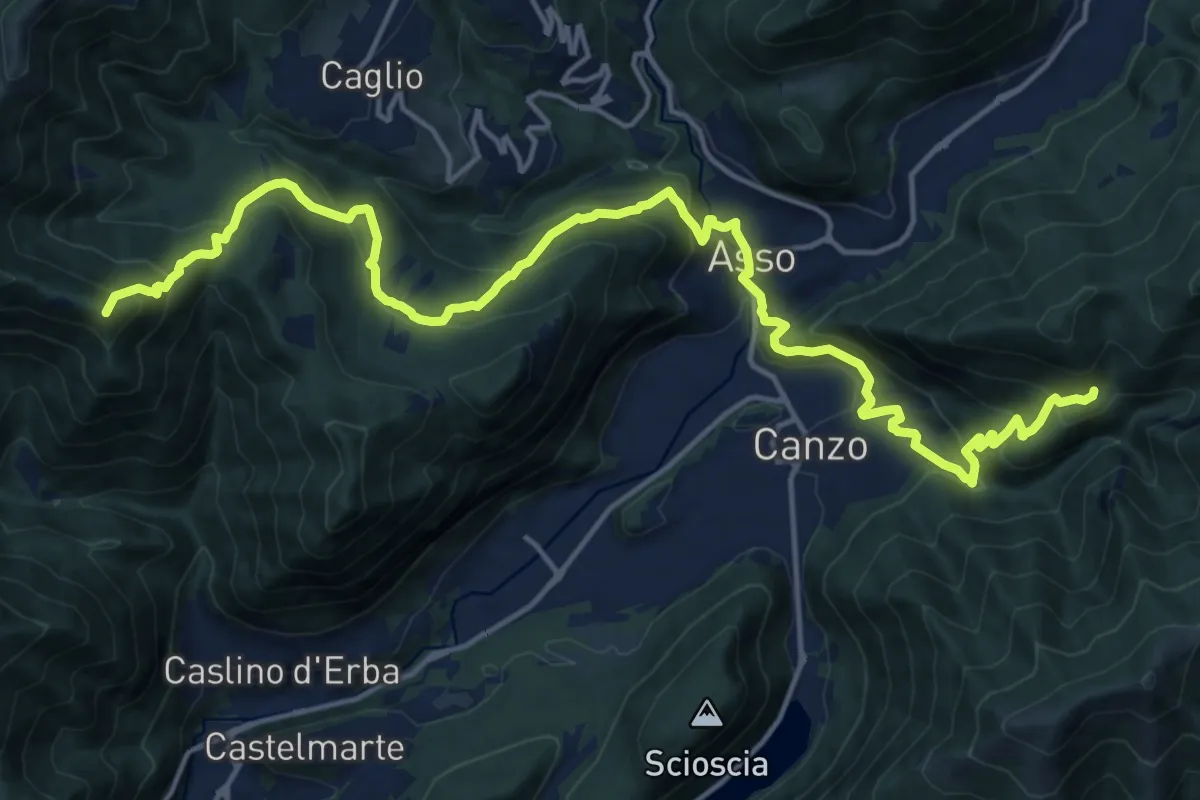
Demanding · Summit
CamminaForeste - Tappa 9B
20.9 km · ↑ 1286 m · 7 h 44 min · 11 km away
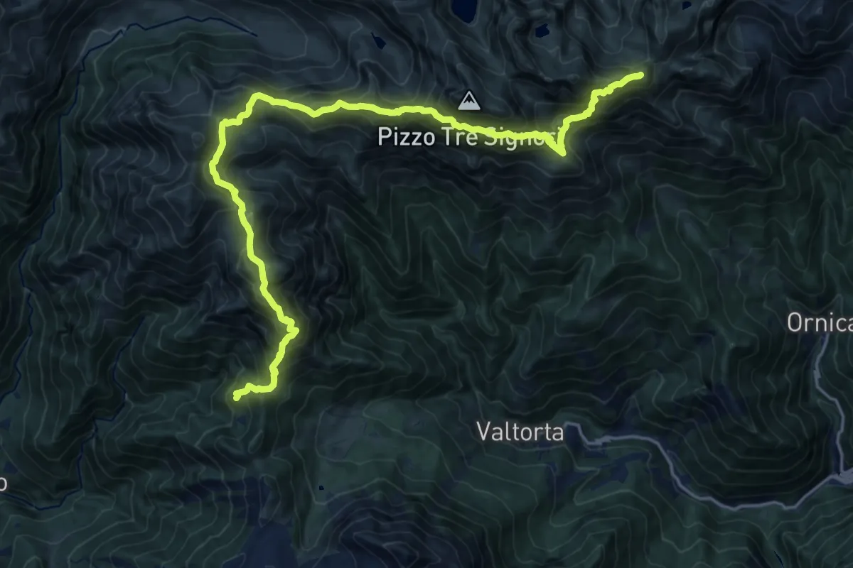
Demanding · Summit
Rifugio Buzzoni – Rifugio Cesare Benigni
20.8 km · ↑ 1713 m · 8 h 37 min · 11 km away
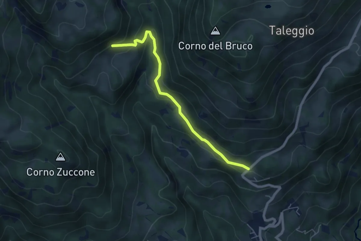
Medium · Trail
Via Arighiglio (Pizzino) – Incrocio 150
5.0 km · ↑ 203 m · 1 h 37 min · 11 km away
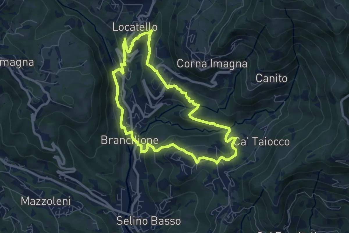
Medium · Trail
Sentiero dei Ponti
6.2 km · ↑ 229 m · 2 h 3 min · 11 km away
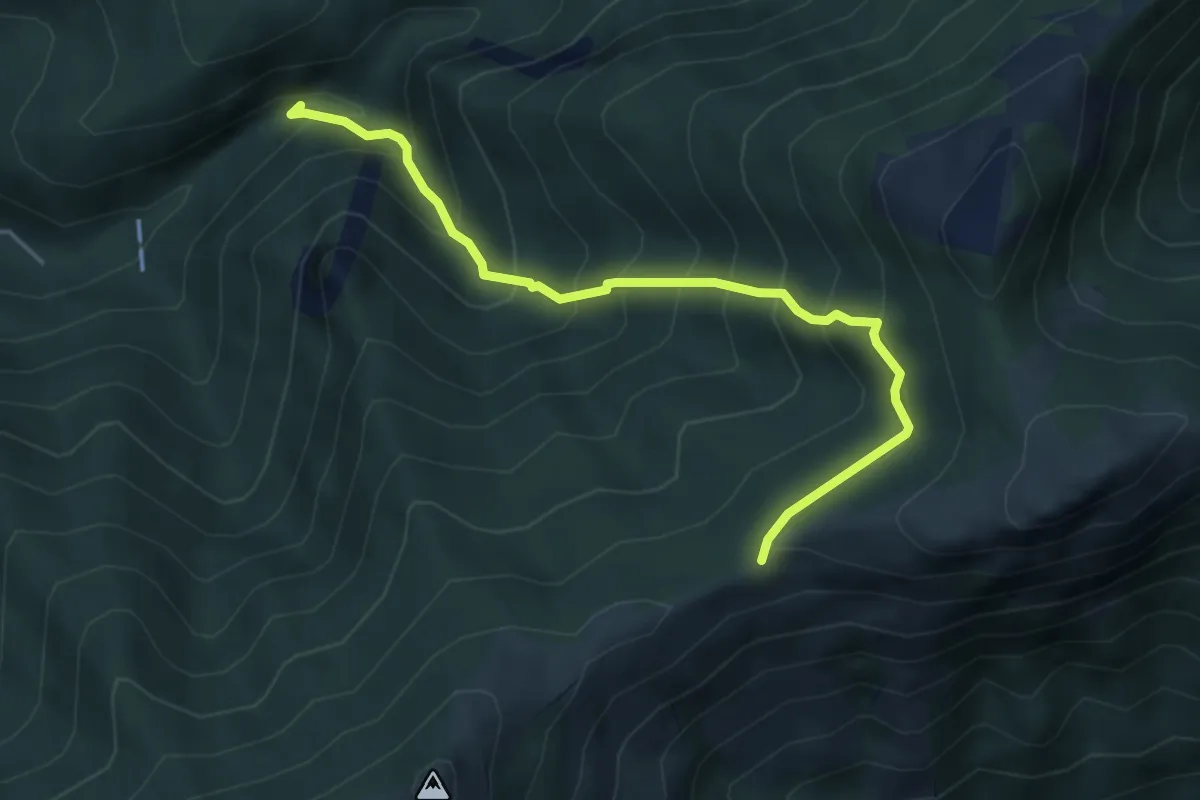
Medium · Trail
Sentiero Geologico (San Miro) – Pendici del Monte Rai
4.7 km · ↑ 531 m · 2 h 15 min · 11 km away
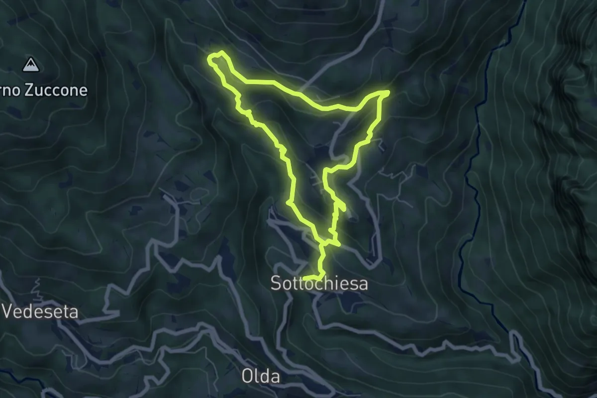
Medium · Trail
Via delle architetture rurali
10.8 km · ↑ 608 m · 3 h 52 min · 11 km away
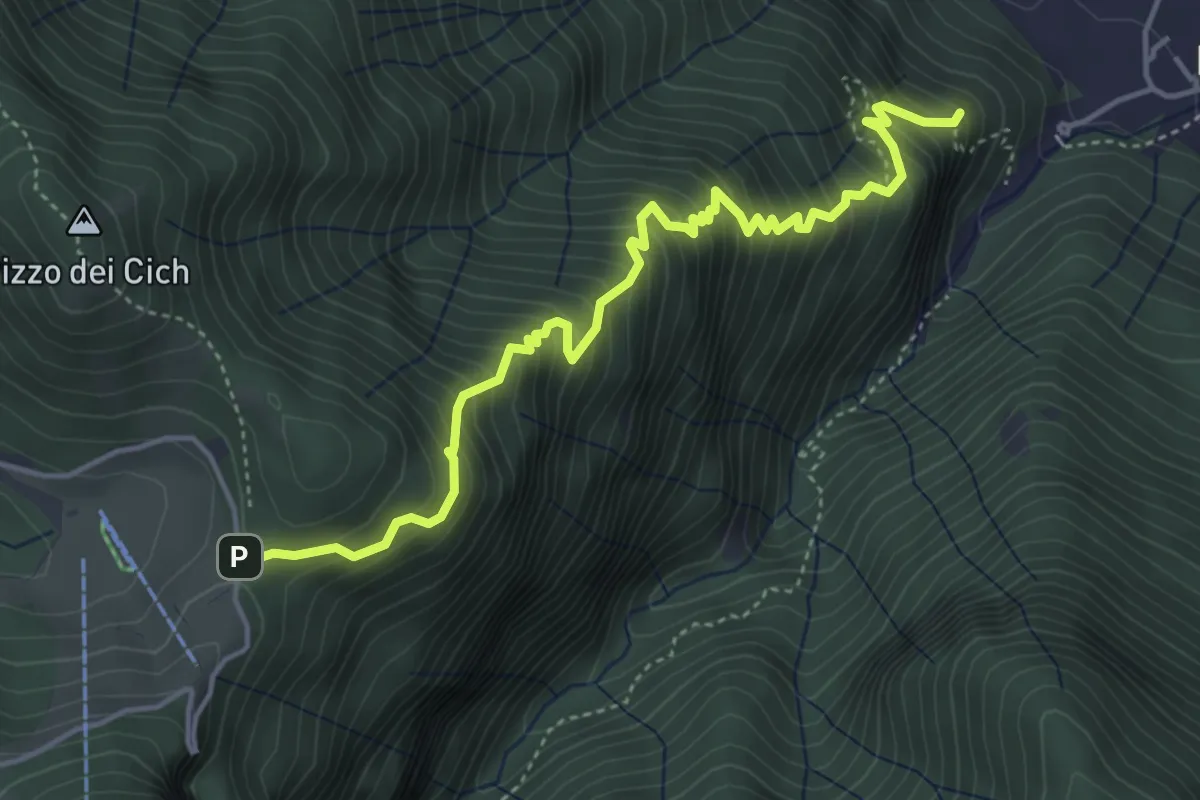
Medium · Summit
Sentiero 38: Sentiero della Scaletta
5.0 km · ↑ 721 m · 2 h 45 min · 11 km away
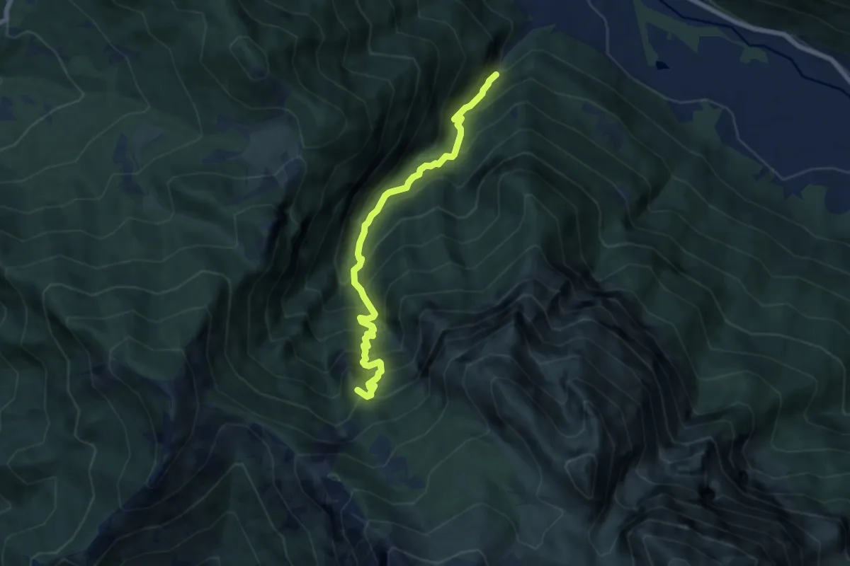
Demanding · Summit
Valle dei Mulini
6.6 km · ↑ 1057 m · 3 h 51 min · 11 km away
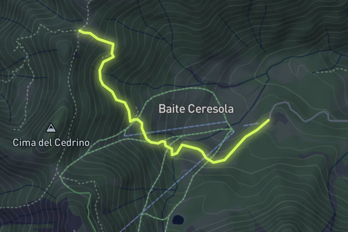
Medium · Cabin
Ceresola (Valtorta) – Passo del Gandazzo (incrocio 101)
3.9 km · ↑ 349 m · 1 h 41 min · 11 km away
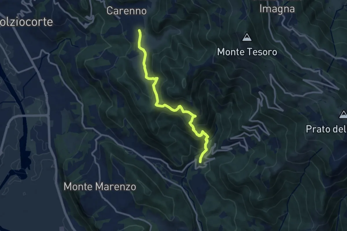
Medium · Trail
Carenno – Torre de' Busi
8.8 km · ↑ 708 m · 3 h 37 min · 11 km away
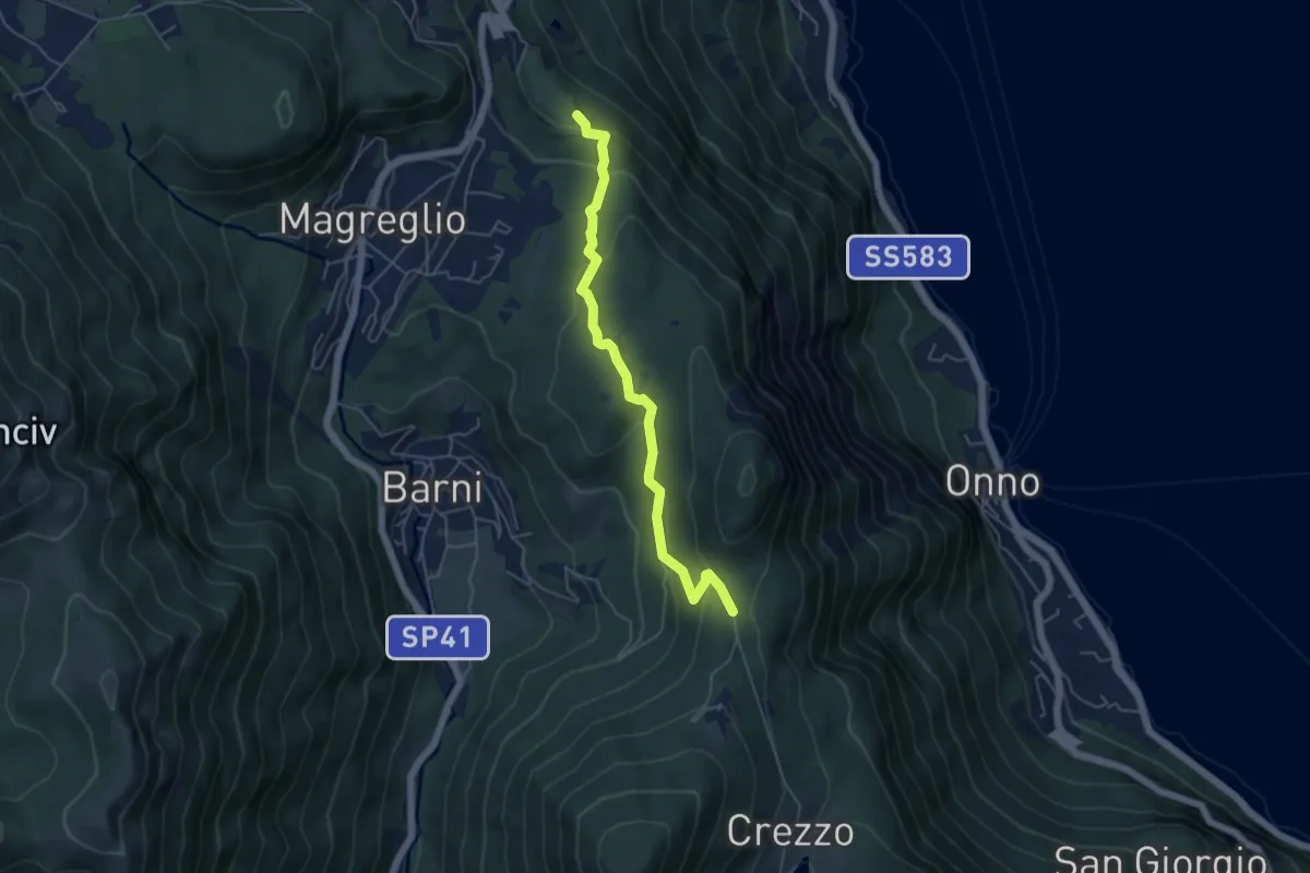
Easy · Trail
Caval di Barni – Alpetto
5.1 km · ↑ 253 m · 1 h 45 min · 11 km away
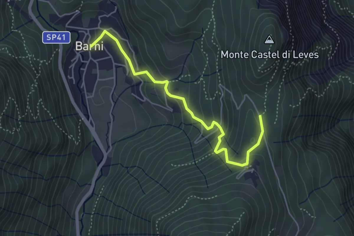
Easy · Trail
Barni – Caval di Barni
4.5 km · ↑ 262 m · 1 h 37 min · 11 km away
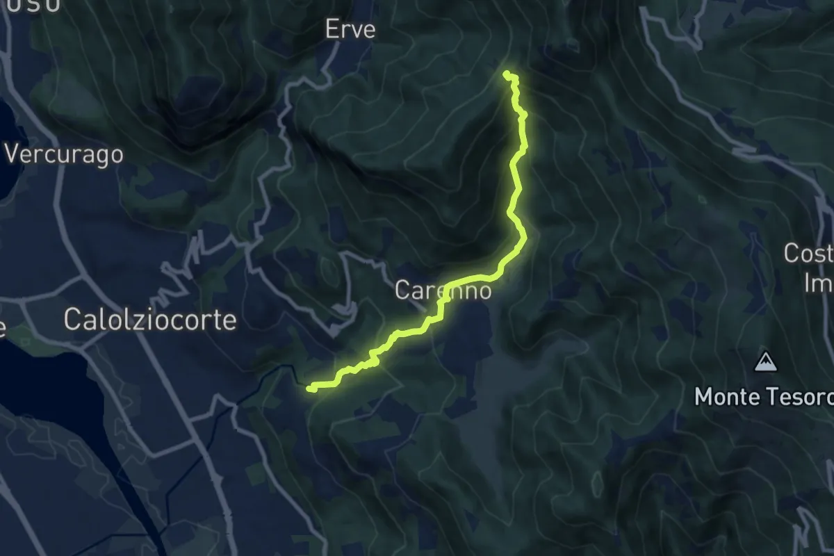
Medium · Trail
Lorentino (Calolziocorte) – Passo della Pertulena
8.1 km · ↑ 668 m · 3 h 21 min · 11 km away
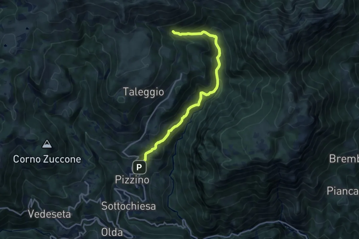
Medium · Trail
Grasso – Incrocio 153
11.3 km · ↑ 739 m · 4 h 16 min · 11 km away
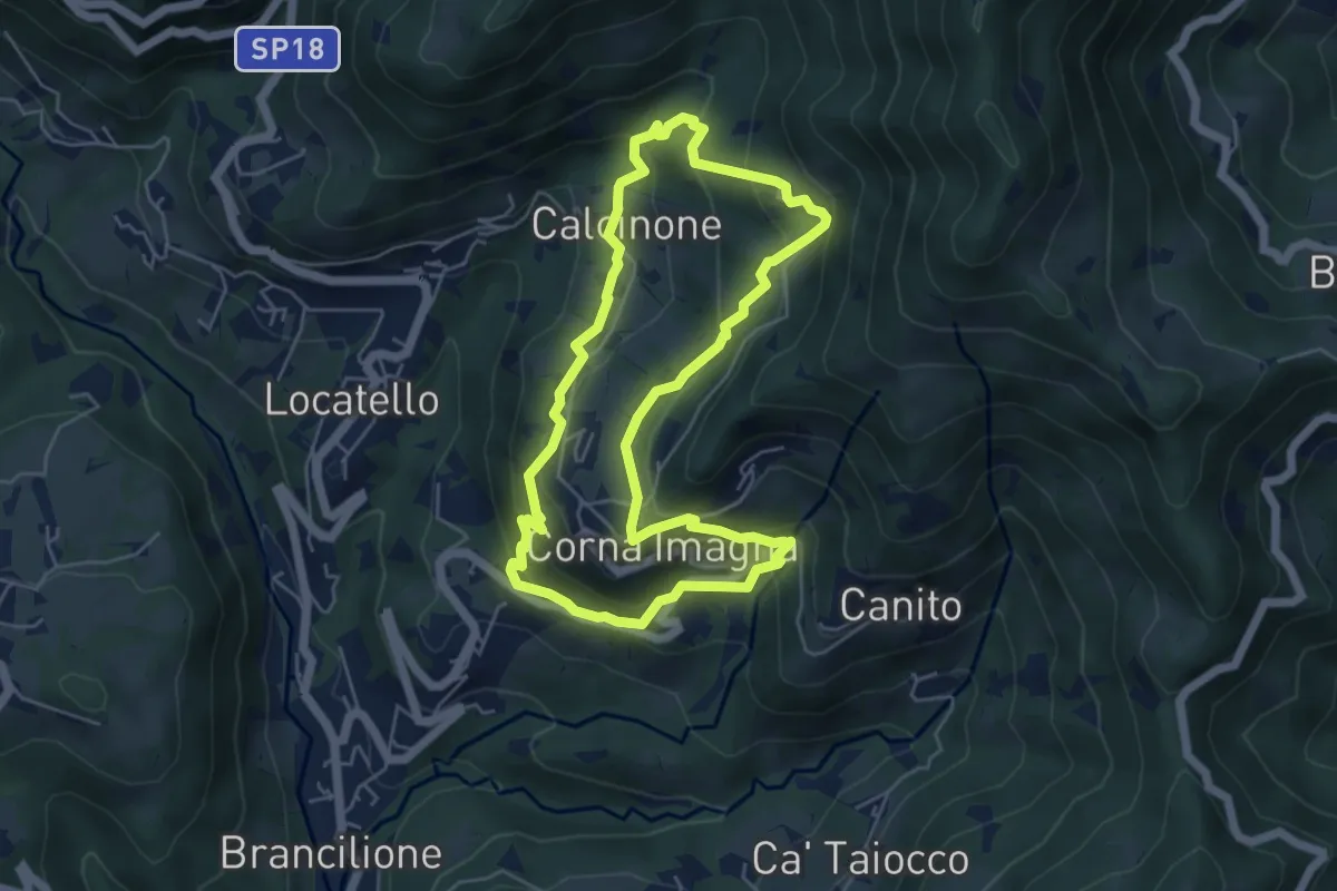
Easy · Trail
Sentiero del Castagno
5.2 km · ↑ 318 m · 2 h · 11 km away
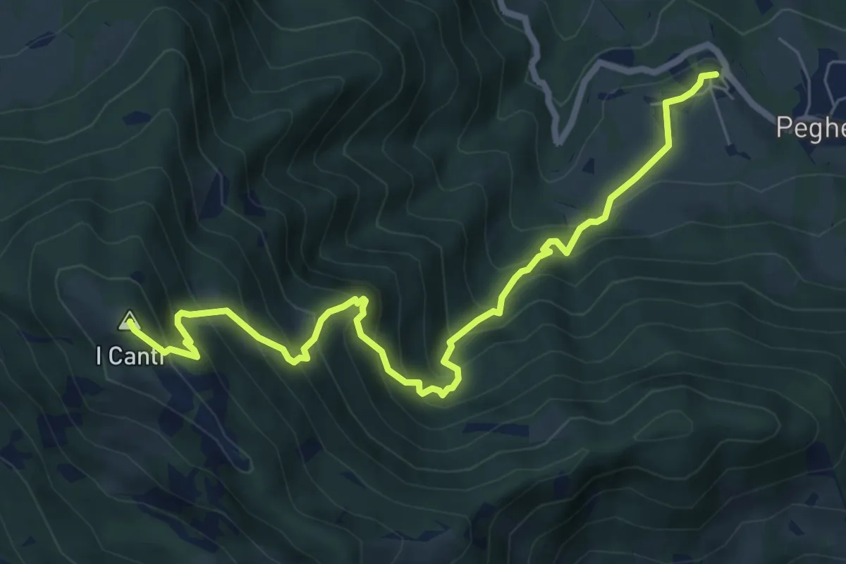
Demanding · Summit
Peghera – I Canti
7.7 km · ↑ 792 m · 3 h 33 min · 11 km away
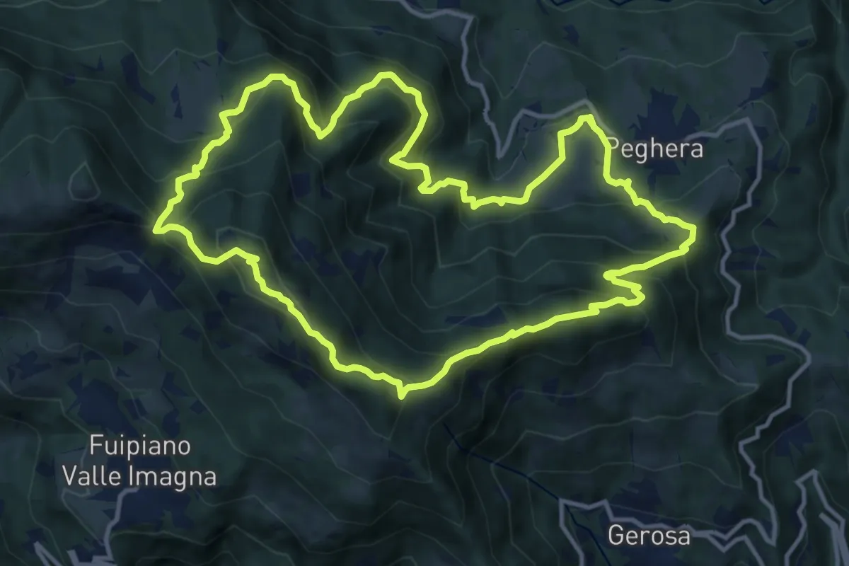
Demanding · Summit
Sentiero della Cultura Casearia - Peghera, luogo di stagionatura
11.9 km · ↑ 901 m · 4 h 56 min · 11 km away
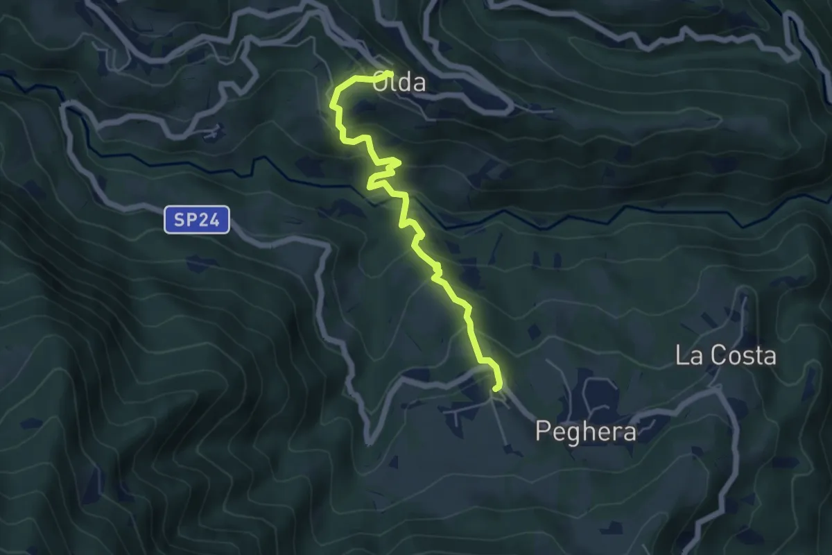
Medium · Trail
Olda – Peghera
5.0 km · ↑ 401 m · 2 h 4 min · 11 km away
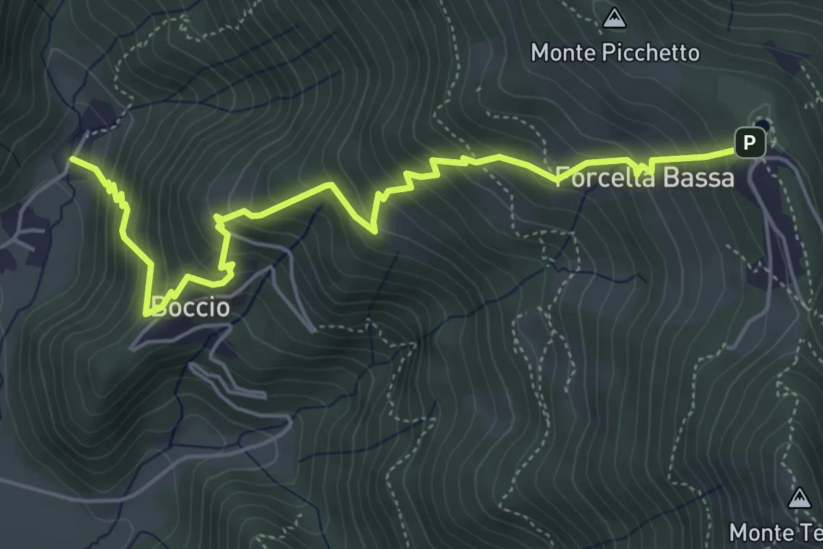
Medium · Trail
Carenno – Forcella Alta
5.8 km · ↑ 631 m · 2 h 45 min · 11 km away
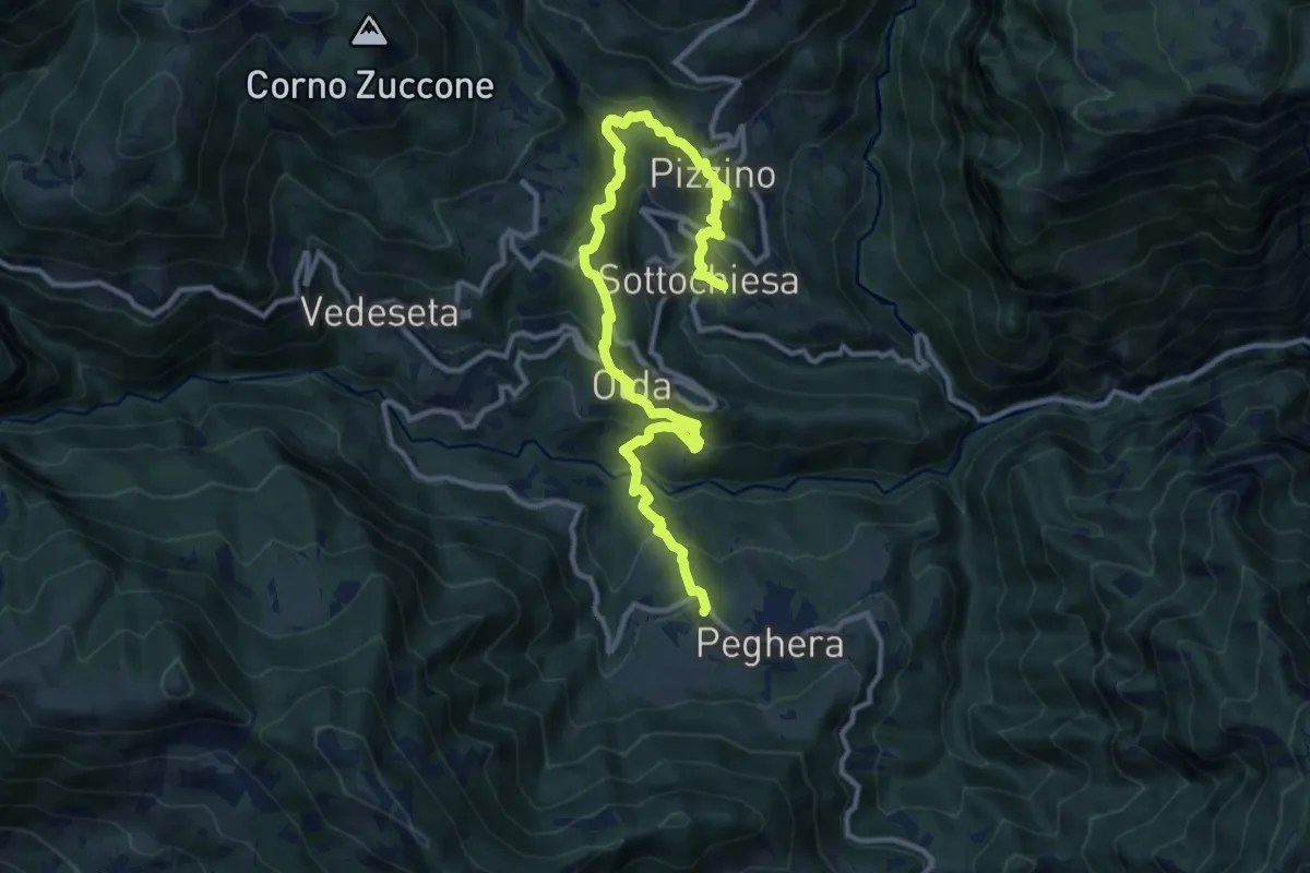
Demanding · Trail
Sentiero dei Laghi Basso - Tappa 4
13.8 km · ↑ 884 m · 5 h 10 min · 11 km away
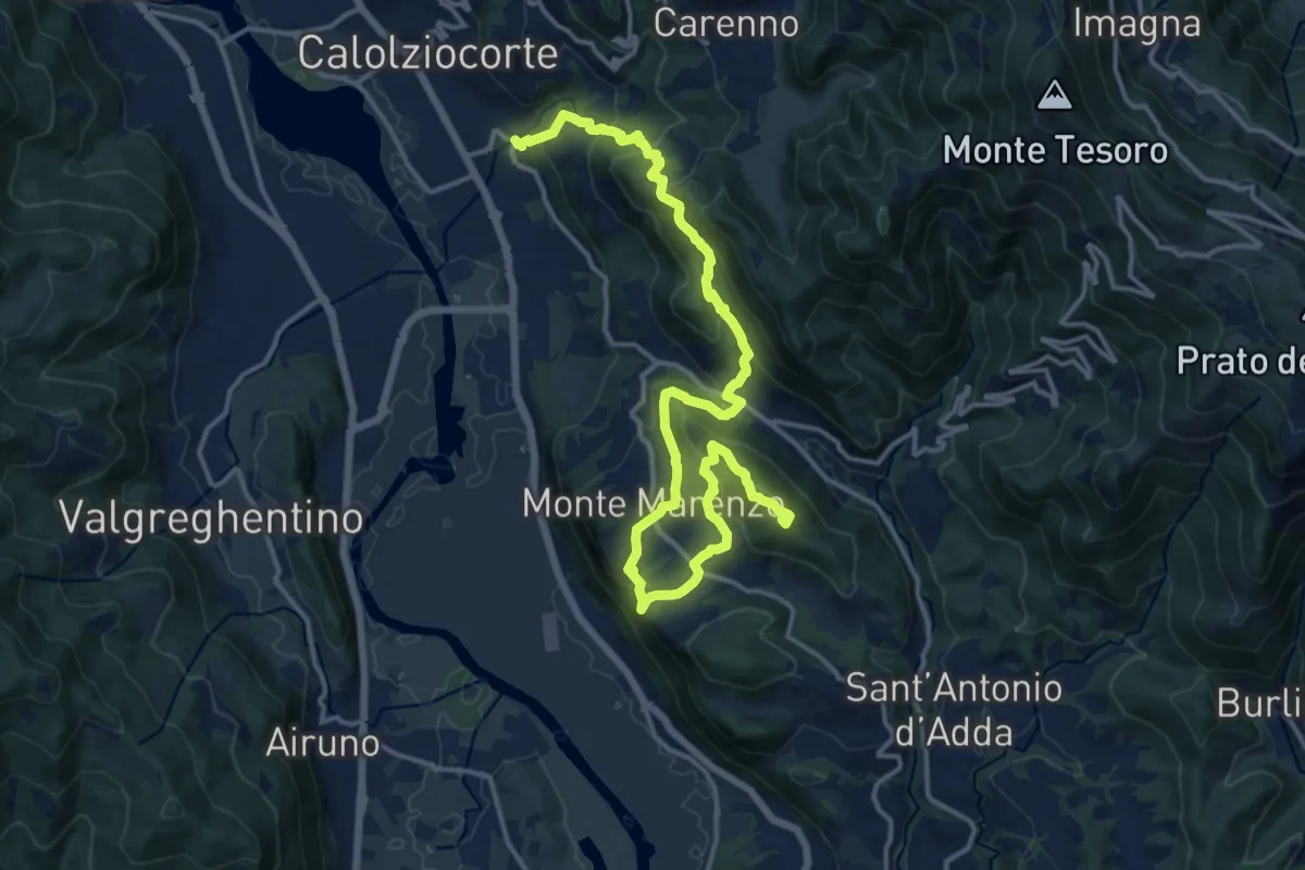
Demanding · Summit
Ponte Serta (Calolziocorte) – Ponte Contrada (Torre de' Busi)
18.8 km · ↑ 982 m · 6 h 34 min · 11 km away
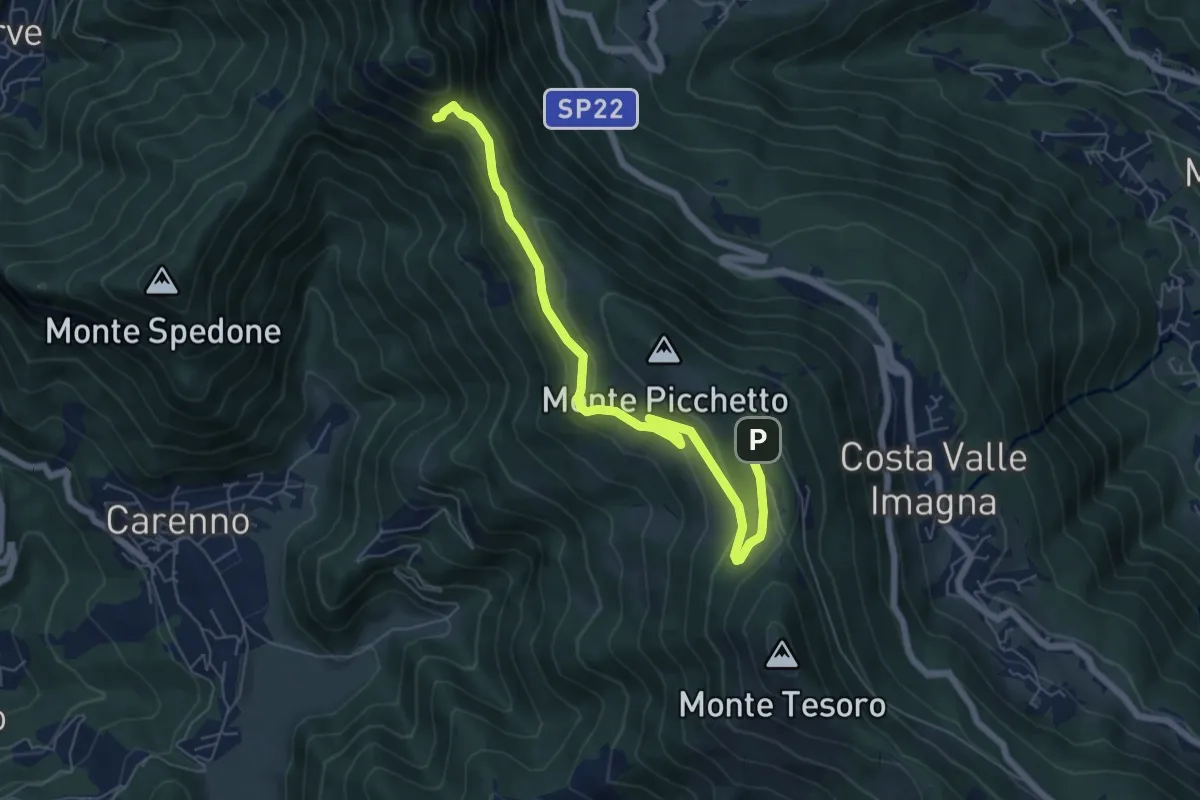
Medium · Trail
Percorso didattico naturalistico del Pertüs
7.0 km · ↑ 262 m · 2 h 13 min · 11 km away
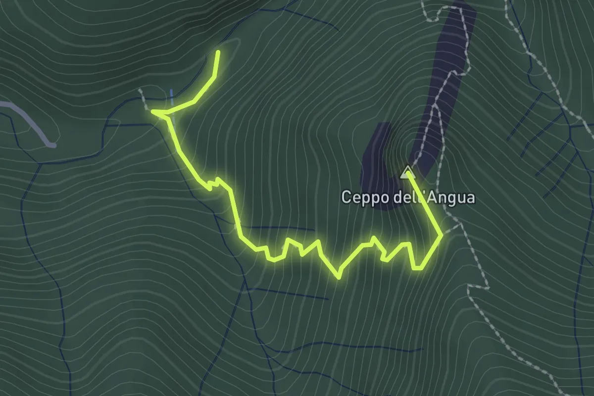
Medium · Summit
Sentiero Geologico – Rifugio SEC "Marisa Consigliere"
2.5 km · ↑ 328 m · 1 h 18 min · 11 km away
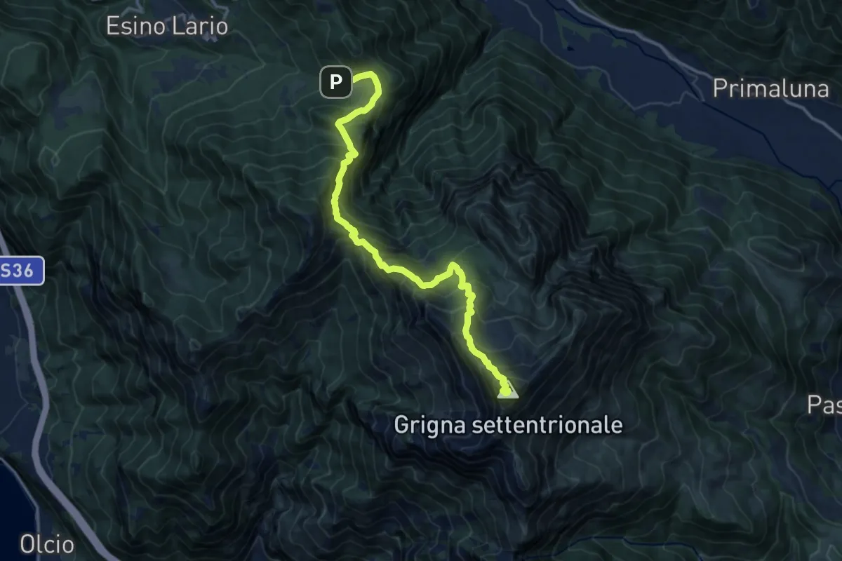
Demanding · Summit
Alpe Cainallo – Rifugio Luigi Brioschi
14.1 km · ↑ 1286 m · 6 h 7 min · 11 km away
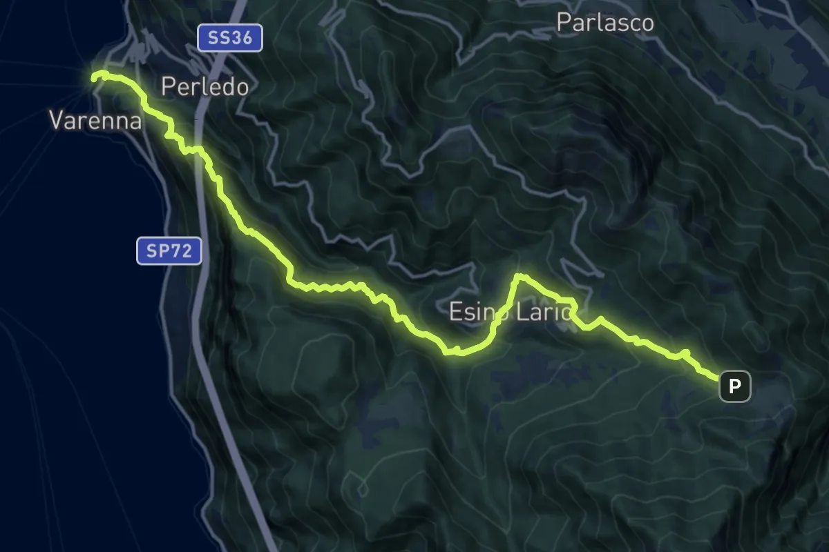
Demanding · Trail
Varenna – Alpe Cainallo
18.0 km · ↑ 1572 m · 7 h 40 min · 11 km away
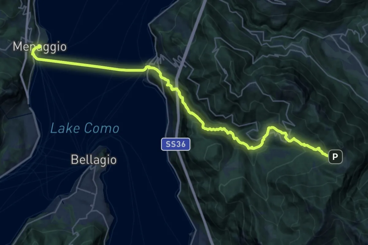
Medium · Trail
CamminaForeste - Tappa 7E
13.2 km · ↑ 293 m · 4 h 28 min · 11 km away
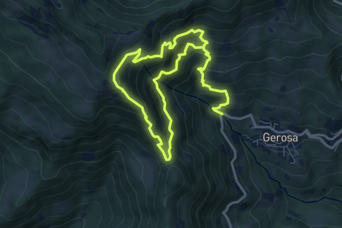
Demanding · Trail
Mulini – Tre Faggi
11.1 km · ↑ 1129 m · 5 h 4 min · 11 km away
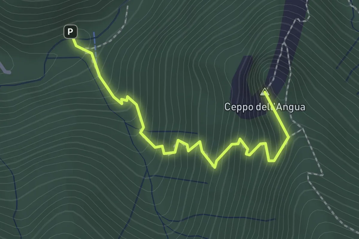
Medium · Summit
Sentiero Geologico – Rifugio SEC "Marisa Consigliere"
2.3 km · ↑ 312 m · 1 h 13 min · 11 km away
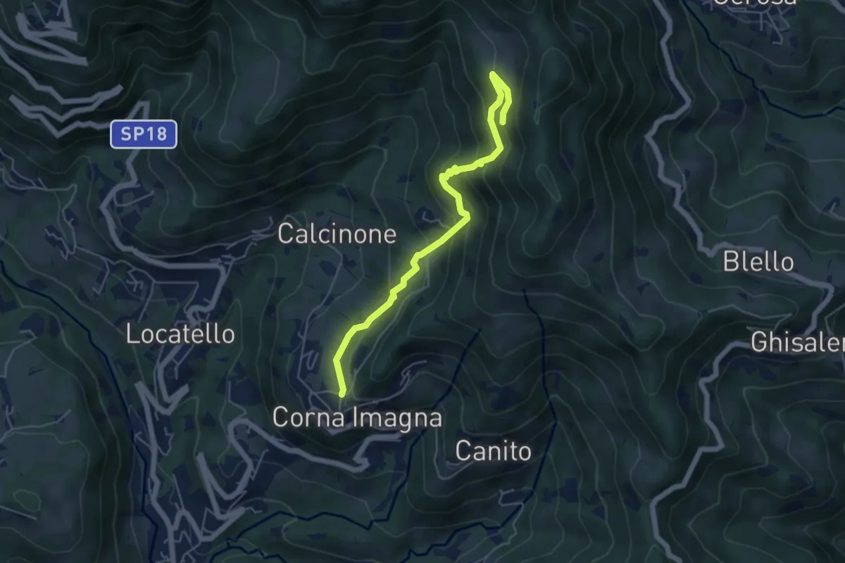
Medium · Trail
Cavaggio (Corna Imagna) – Piazzacava (incrocio 571)
5.2 km · ↑ 392 m · 2 h 5 min · 12 km away
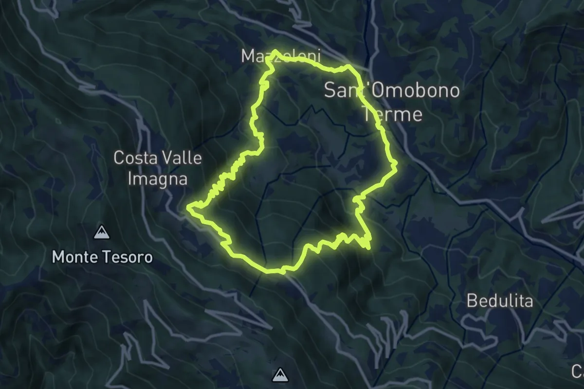
Medium · Trail
Sentiero del Dono
10.7 km · ↑ 707 m · 4 h 12 min · 12 km away
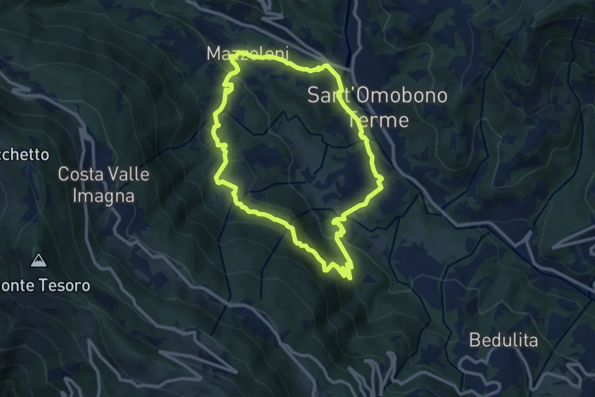
Medium · Trail
Cammino dei Petali
7.5 km · ↑ 428 m · 2 h 48 min · 12 km away
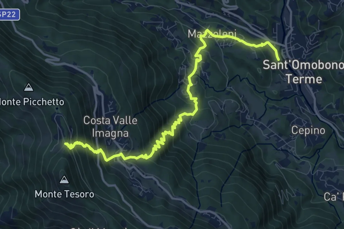
Demanding · Trail
Ca' Mazzoleni – Forcella Alta
12.2 km · ↑ 902 m · 4 h 50 min · 12 km away
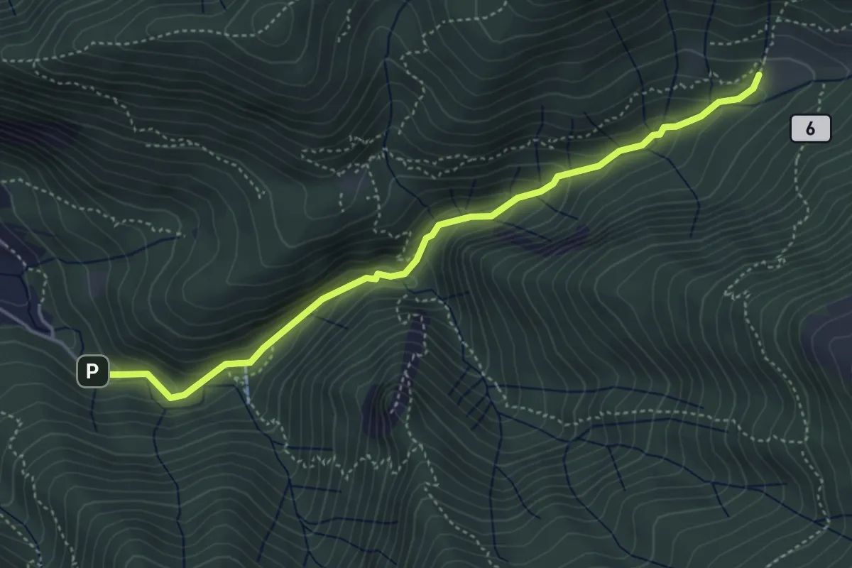
Medium · Trail
Sentiero Geologico Giorgio Achermann
4.7 km · ↑ 291 m · 1 h 45 min · 12 km away