Trails near Bedizzole
133 hikes starting within 15 km, nearest first.
Nearest first, page 1 of 3
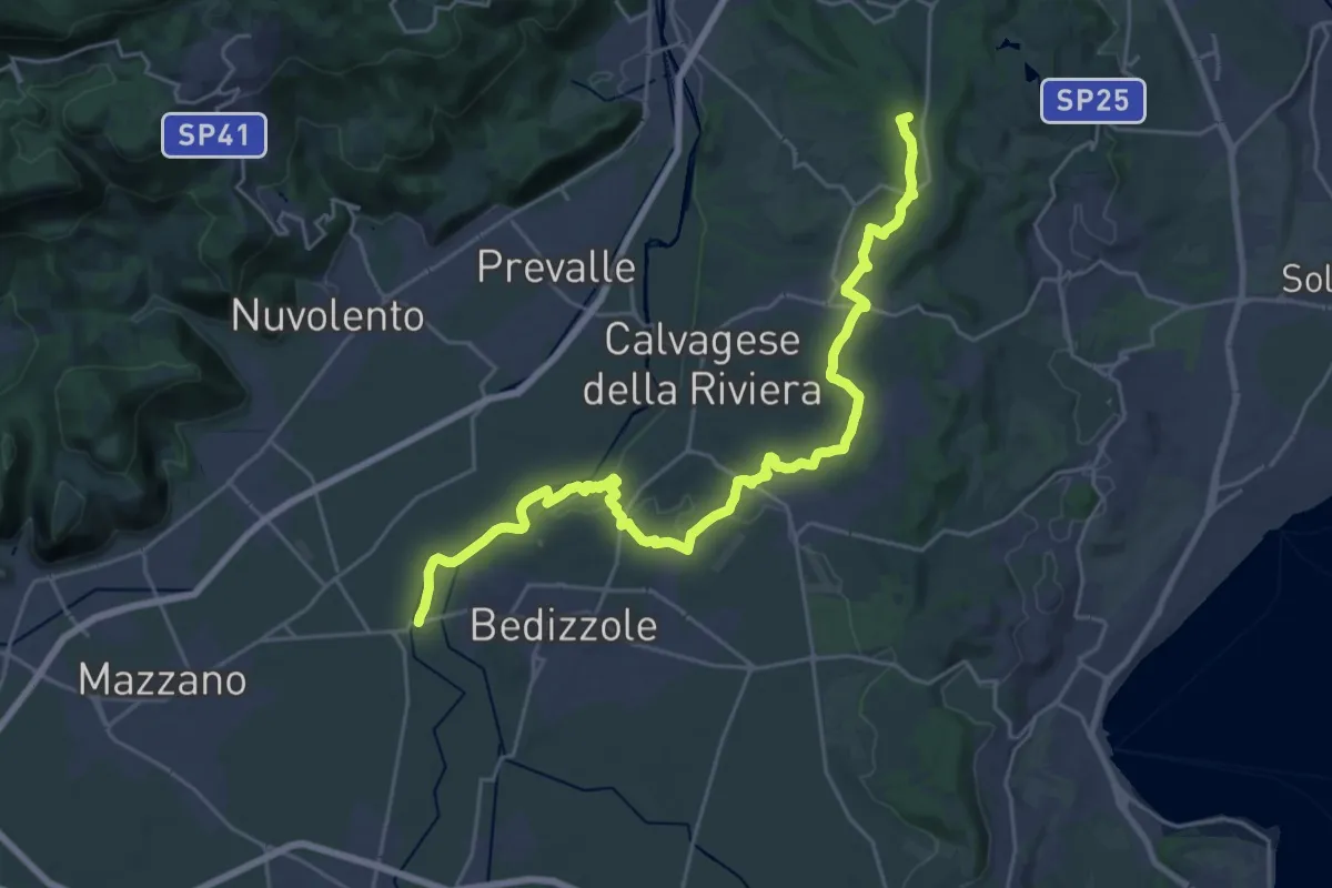
Demanding · Summit
Via delle Colline Moreniche
28.7 km · ↑ 381 m · 7 h 37 min · 2 km away
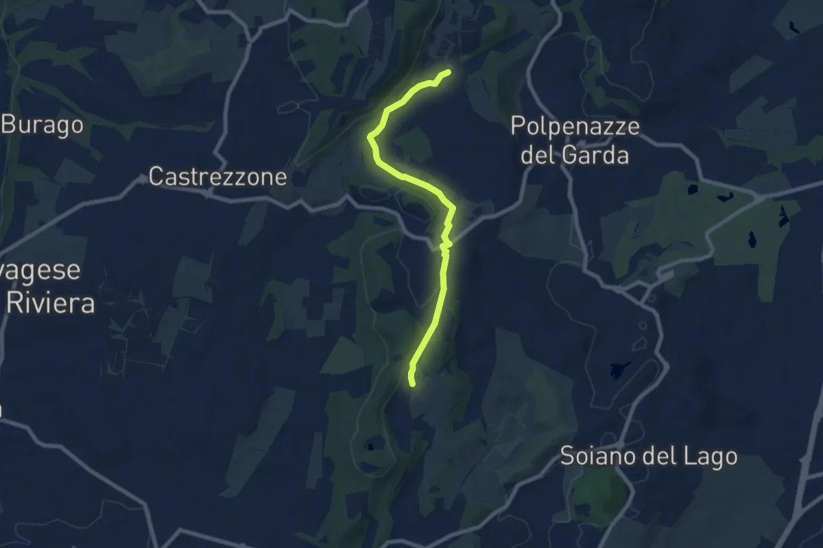
Easy · Trail
Lago di Lucone, Castelletto
6.9 km · ↑ 97 m · 1 h 51 min · 6 km away
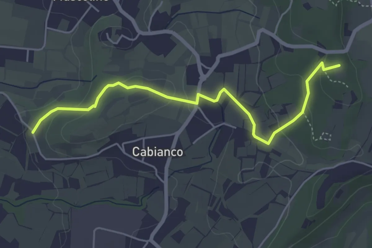
Easy · Summit
Percorso Muscoline Blu1
4.8 km · ↑ 103 m · 1 h 22 min · 6 km away
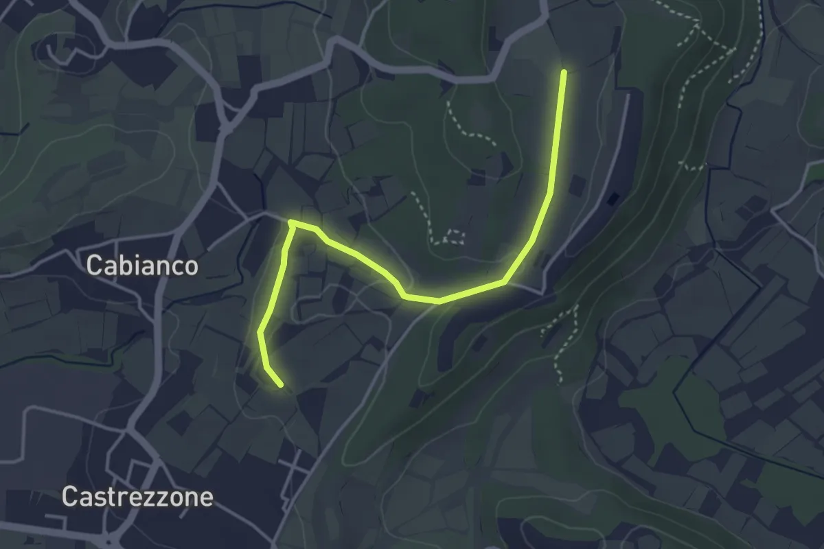
Easy · Trail
Percorso Muscoline Blu2
3.8 km · ↑ 58 m · 1 h 2 min · 6 km away
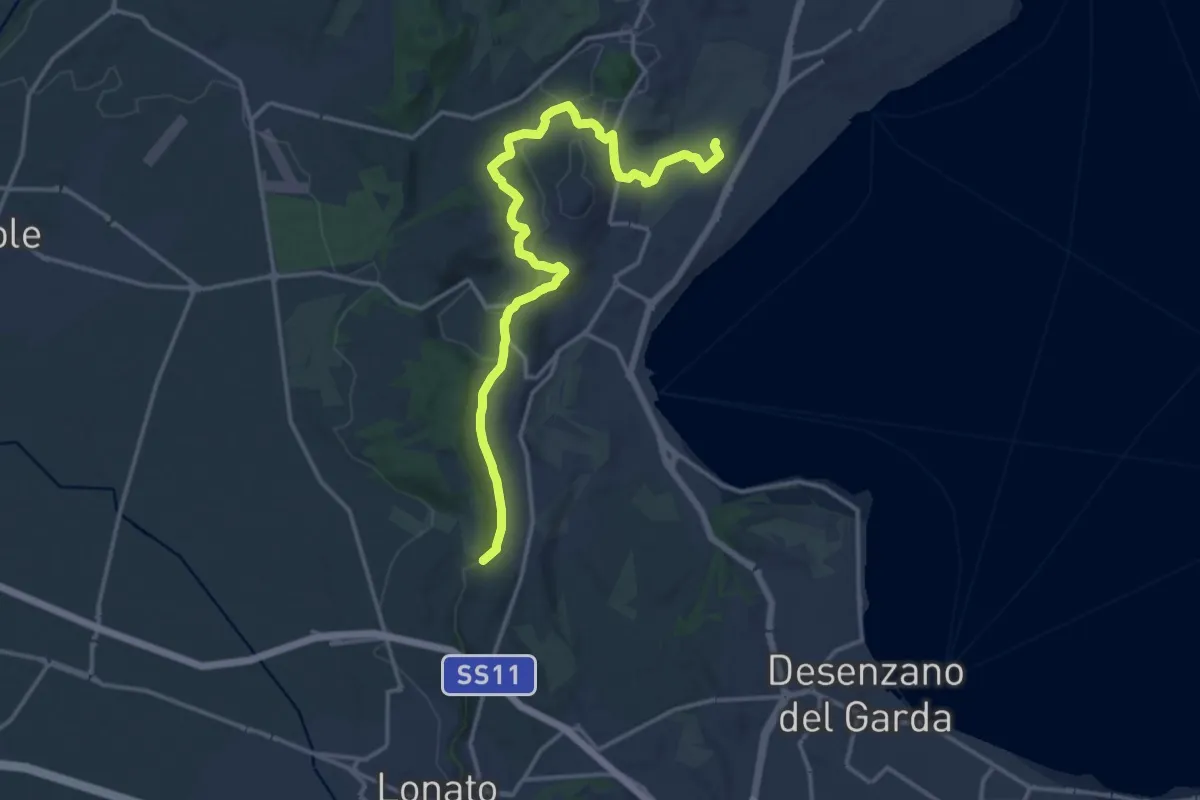
Medium · Trail
Barcuzzi – Balosse
17.4 km · ↑ 263 m · 4 h 40 min · 6 km away
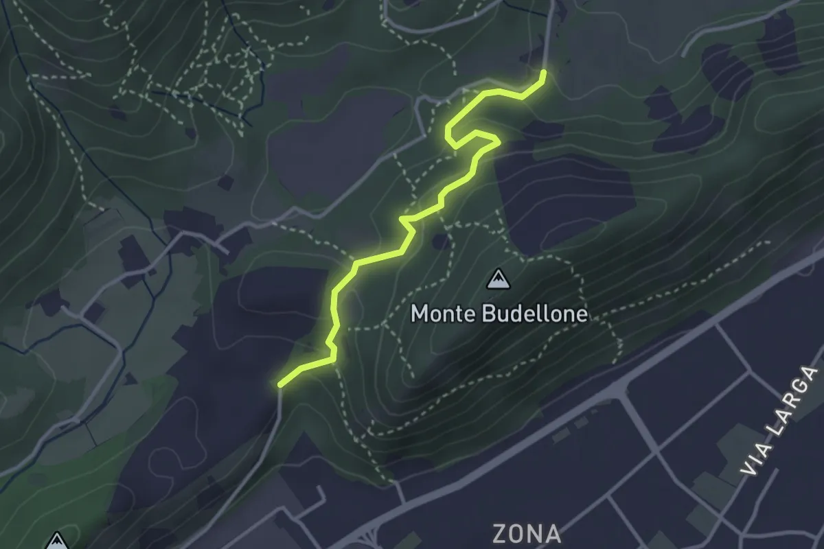
Easy · Trail
La Via del marmo - Prevalle (Buco del Frate)
3.1 km · ↑ 132 m · 1 h 1 min · 6 km away
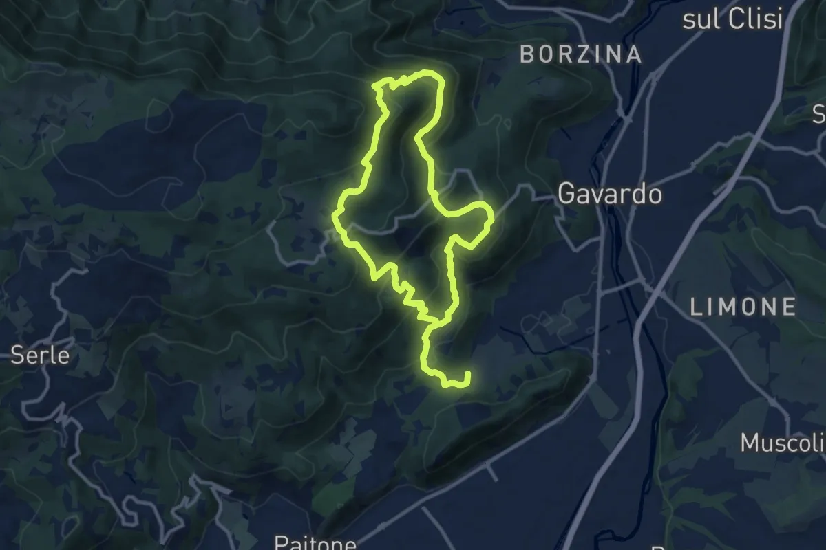
Medium · Summit
Sentiero Mario Merelli
9.5 km · ↑ 548 m · 3 h 31 min · 6 km away
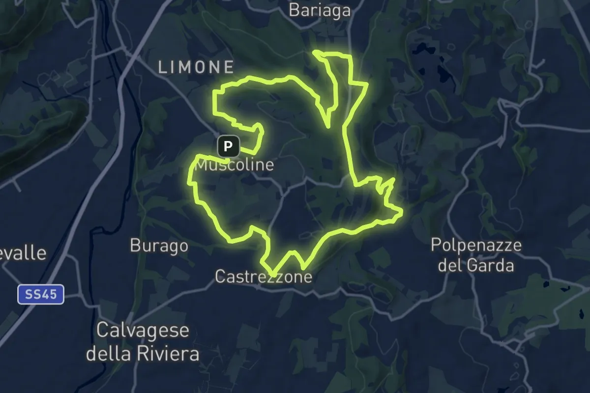
Medium · Summit
Percorso Verde Muscoline
15.1 km · ↑ 297 m · 4 h 24 min · 7 km away
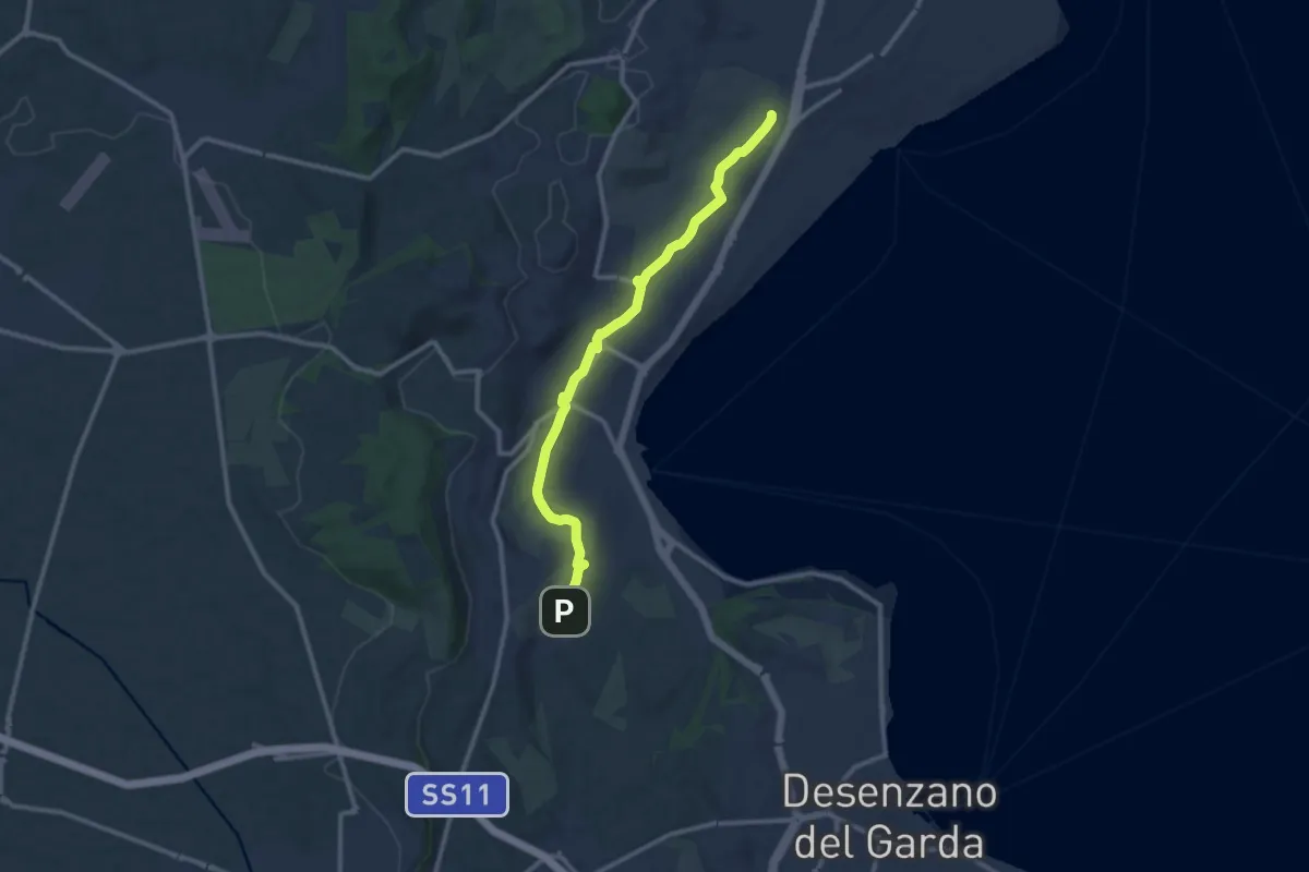
Medium · Trail
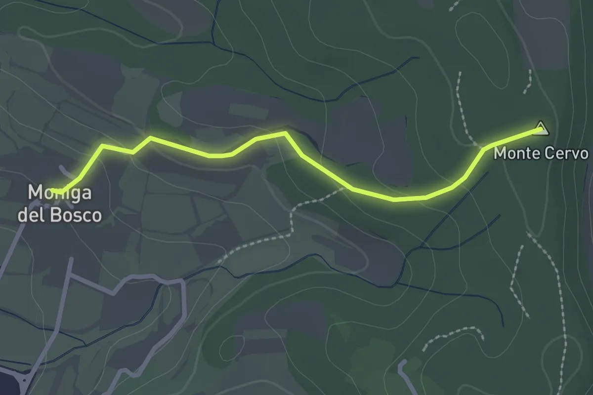
Maguzzano – Moniga
11.3 km · ↑ 61 m · 2 h 48 min · 7 km away
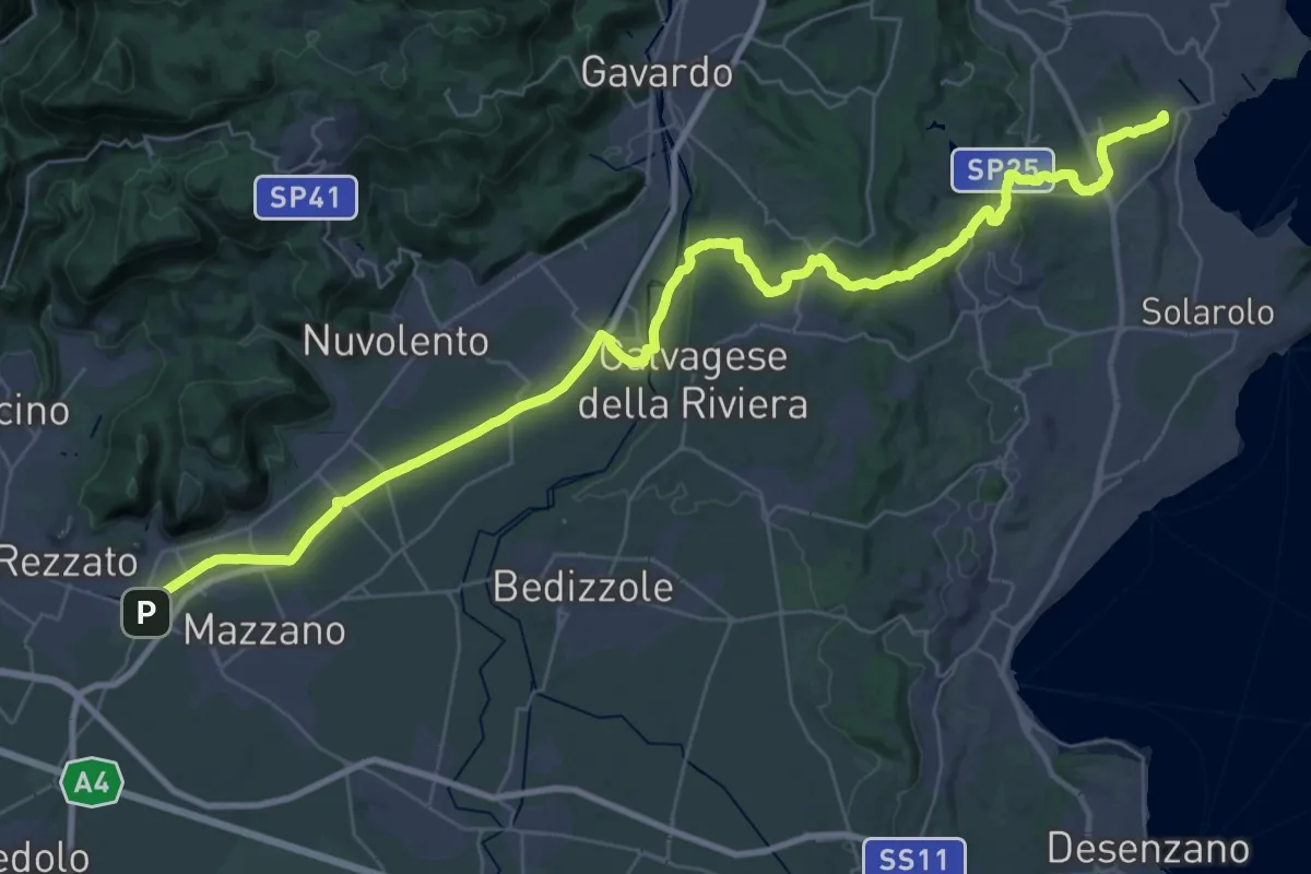
Demanding · Summit
Via della Valtenesi
46.5 km · ↑ 468 m · 11 h 59 min · 7 km away
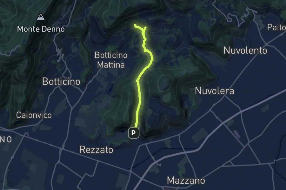
Medium · Cabin
La Via del marmo - Rezzato (Valle di Virle)
10.9 km · ↑ 399 m · 3 h 27 min · 7 km away
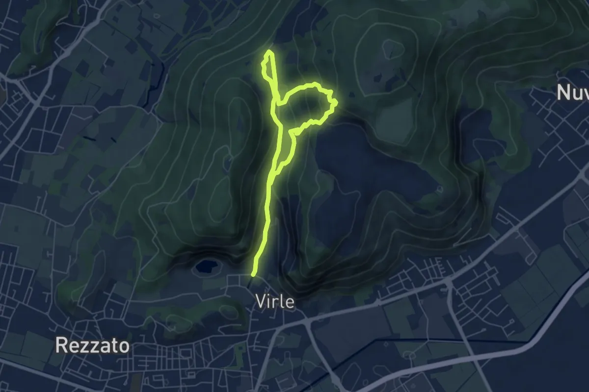
Medium · Trail
Sentiero della Valle di Virle
4.2 km · ↑ 202 m · 1 h 32 min · 7 km away
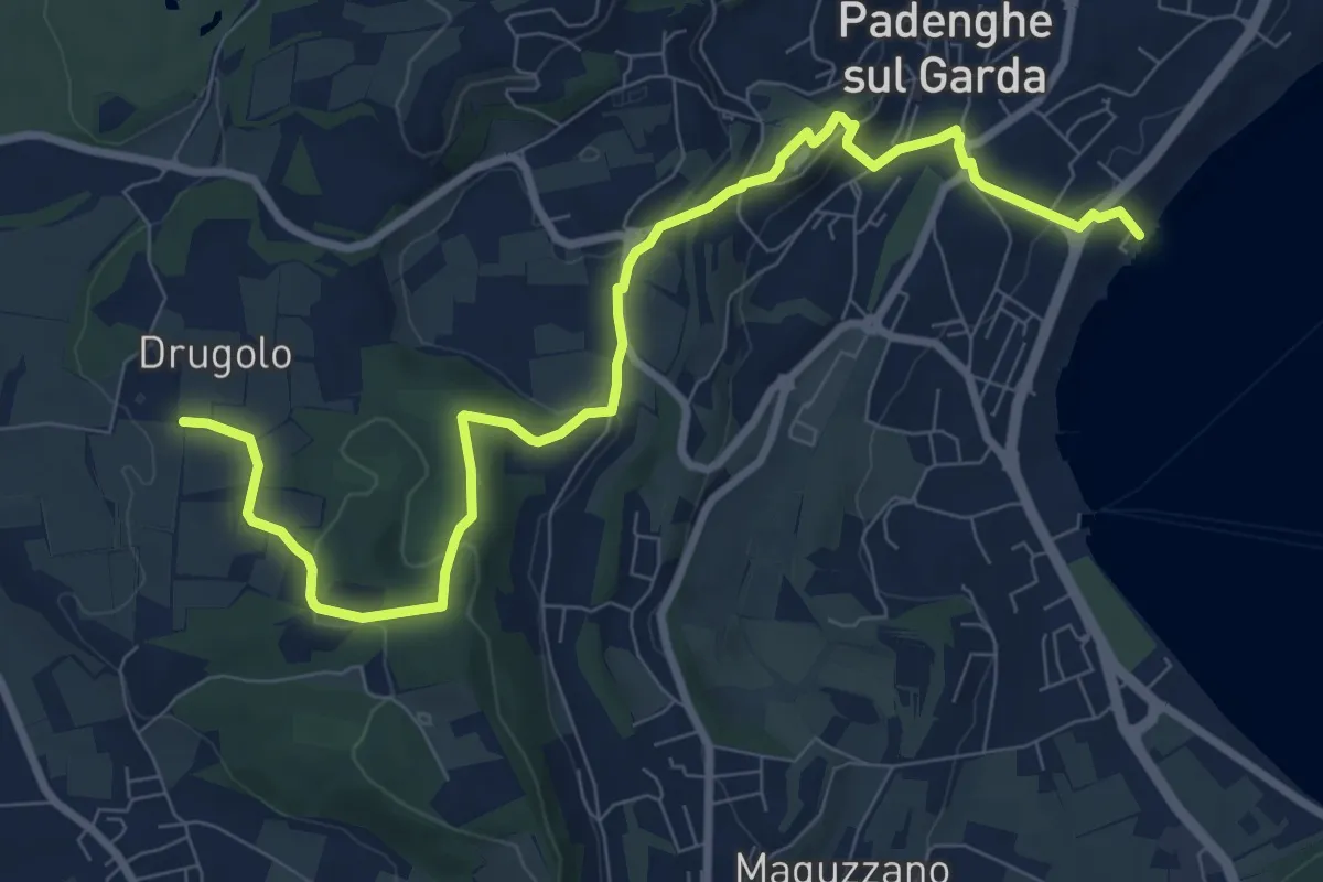
Medium · Trail
Drugolo – Padenghe lido
10.3 km · ↑ 240 m · 2 h 58 min · 7 km away
Easy · Summit
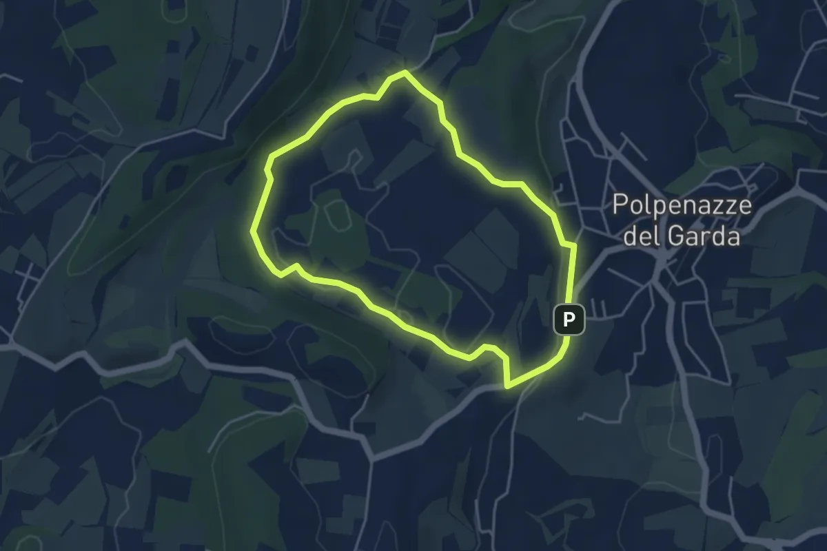
Percorso Rosso Muscoline
2.4 km · ↑ 81 m · 45 min · 7 km away
Easy · Trail
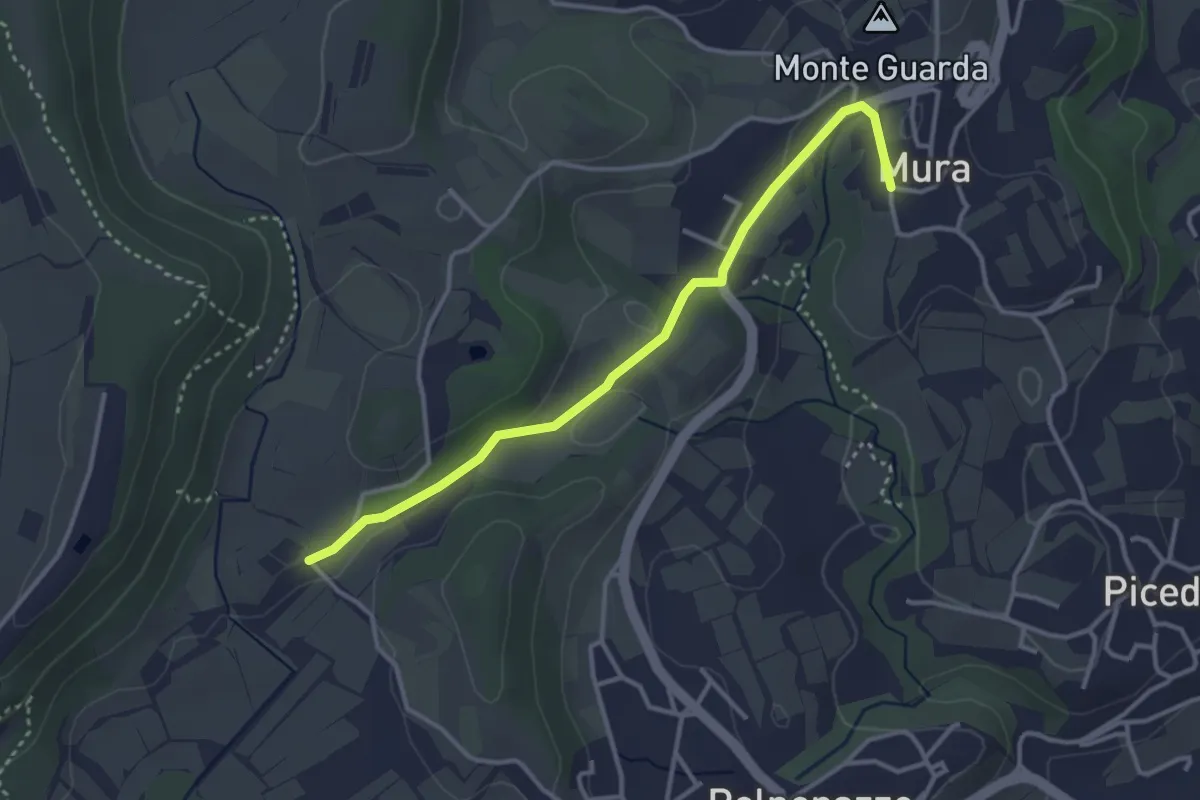
Giro del Lago di Lucone
3.9 km · ↑ 42 m · 1 h 3 min · 7 km away
Easy · Trail
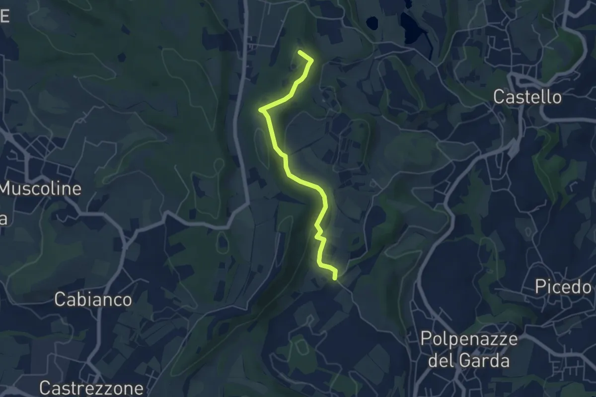
8 - Percorsi delle Colline Moreniche di Puegnago
3.5 km · ↑ 41 m · 55 min · 7 km away
Easy · Summit
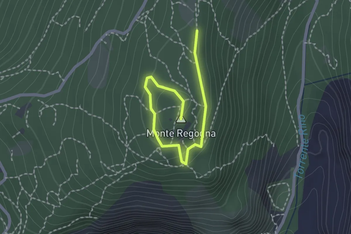
1 - Percorsi delle Colline Moreniche di Puegnago
4.8 km · ↑ 137 m · 1 h 26 min · 7 km away
Easy · Summit
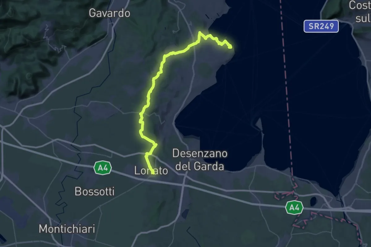
Sentiero didattico (Monte Regogna)
2.0 km · ↑ 54 m · 35 min · 7 km away
Demanding · Summit
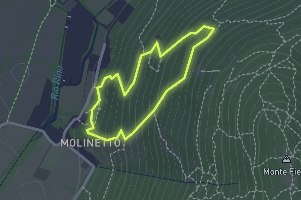
Manerba del Garda (San Giorgio) – Lonato del Garda
44.2 km · ↑ 707 m · 11 h 58 min · 8 km away
Demanding · Trail
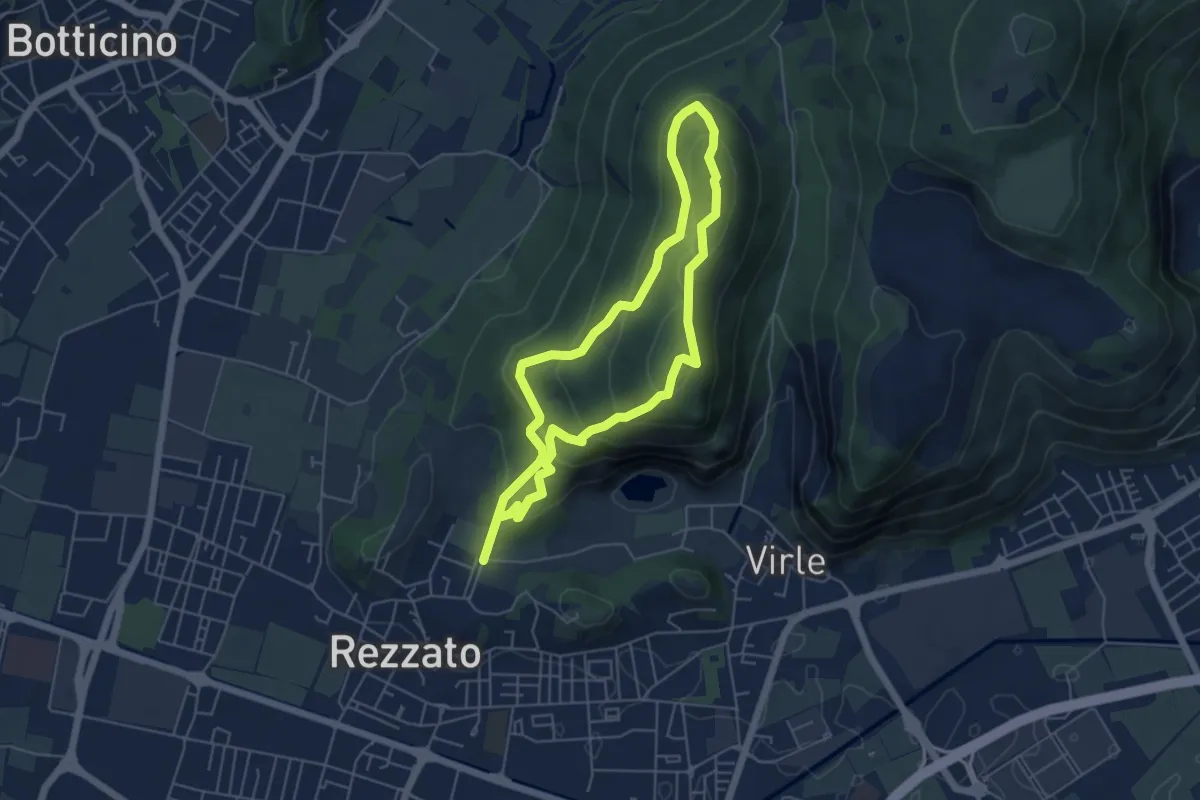
Anello Molinetto di Botticno
1.5 km · ↑ 132 m · 39 min · 8 km away
Medium · Summit
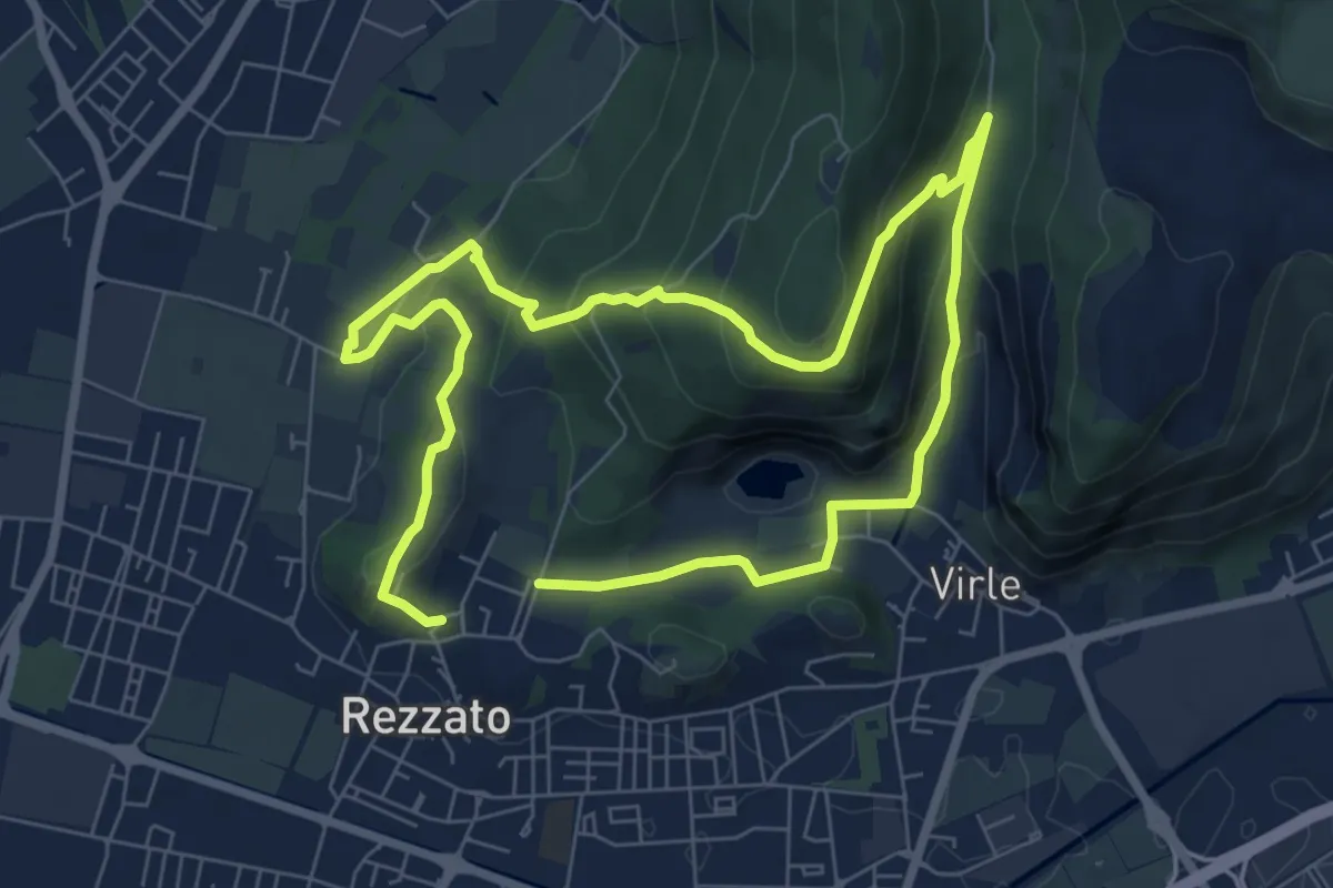
Sentiero dei fiori
4.8 km · ↑ 271 m · 1 h 48 min · 8 km away
Medium · Summit
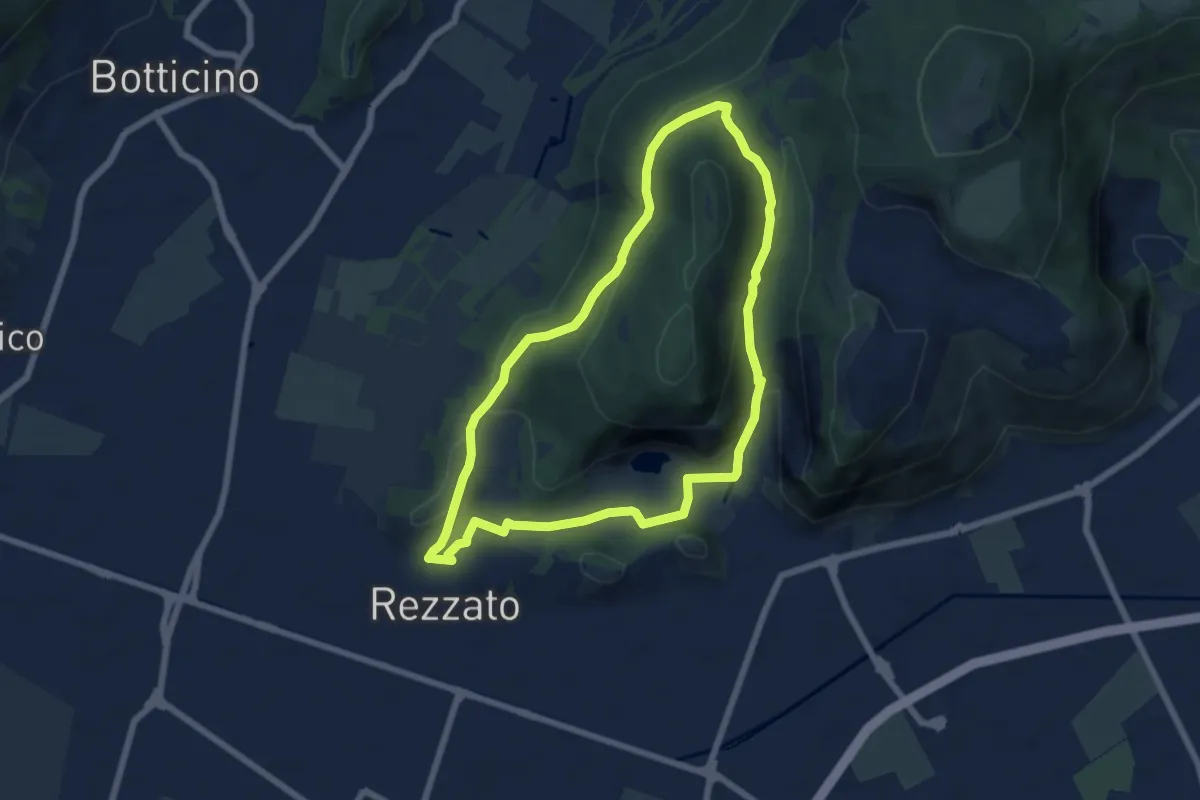
Sentiero della storia
6.4 km · ↑ 306 m · 2 h 16 min · 8 km away
Medium · Summit
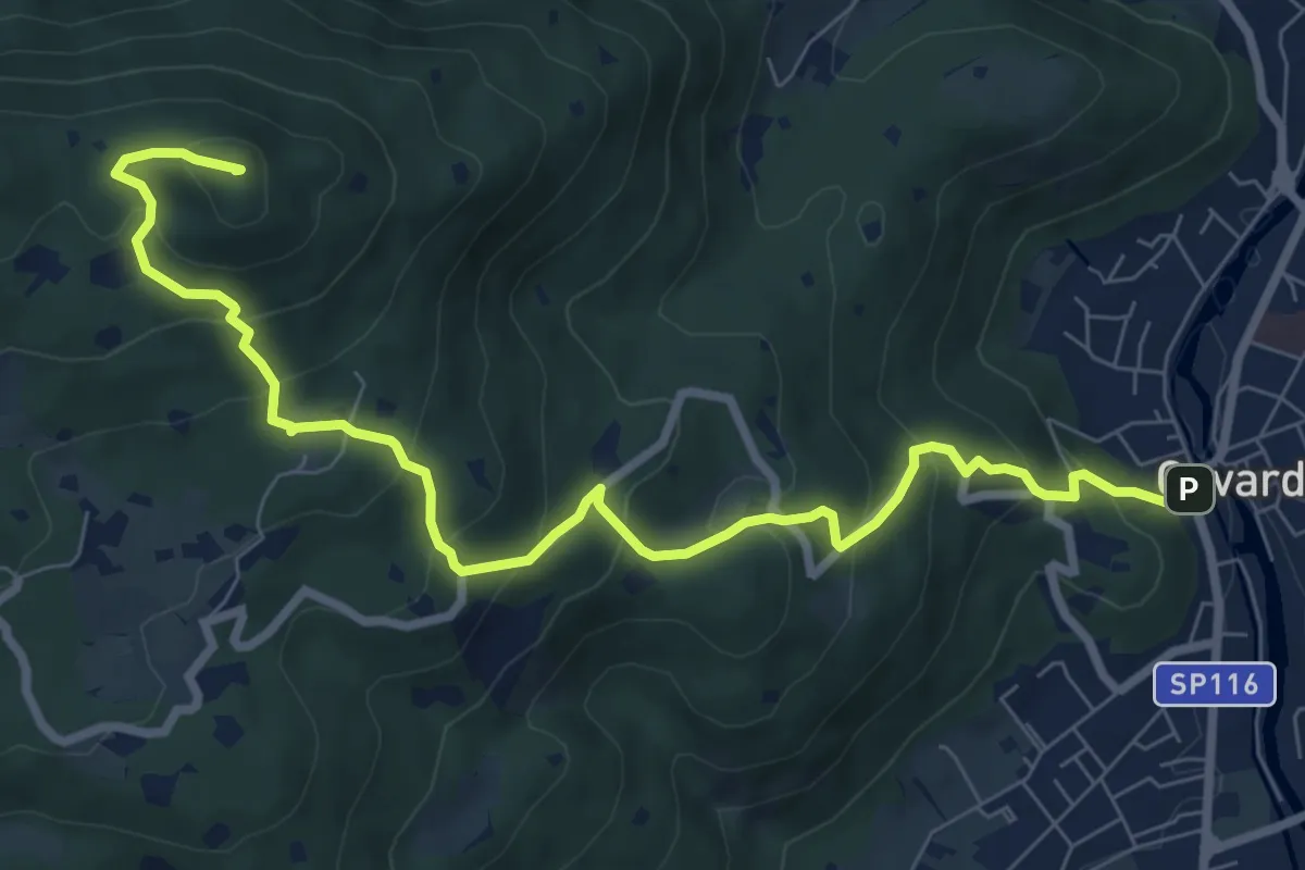
Sentiero della Rasa
6.3 km · ↑ 203 m · 2 h 1 min · 8 km away
Medium · Summit
Gavardo – Tesio
9.4 km · ↑ 655 m · 3 h 38 min · 8 km away
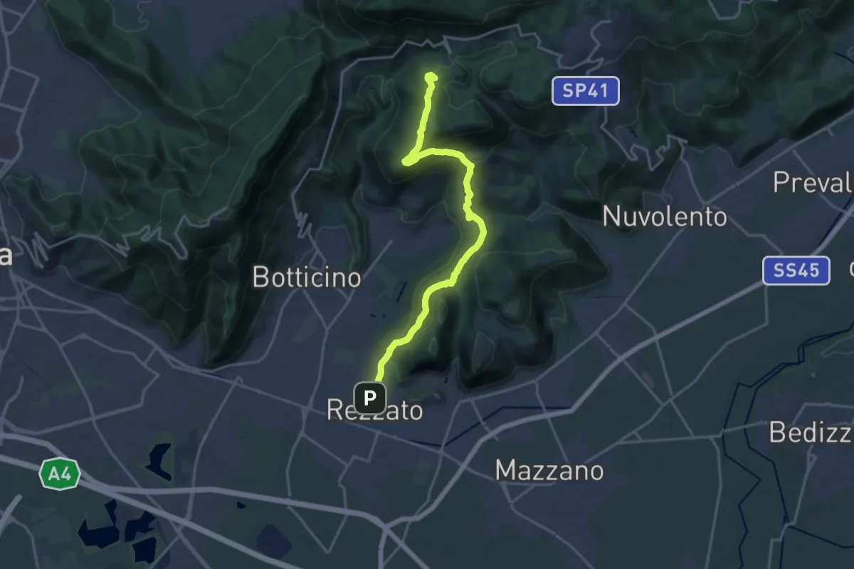
Demanding · Summit
Sentiero principale Valverde
17.5 km · ↑ 748 m · 5 h 45 min · 8 km away
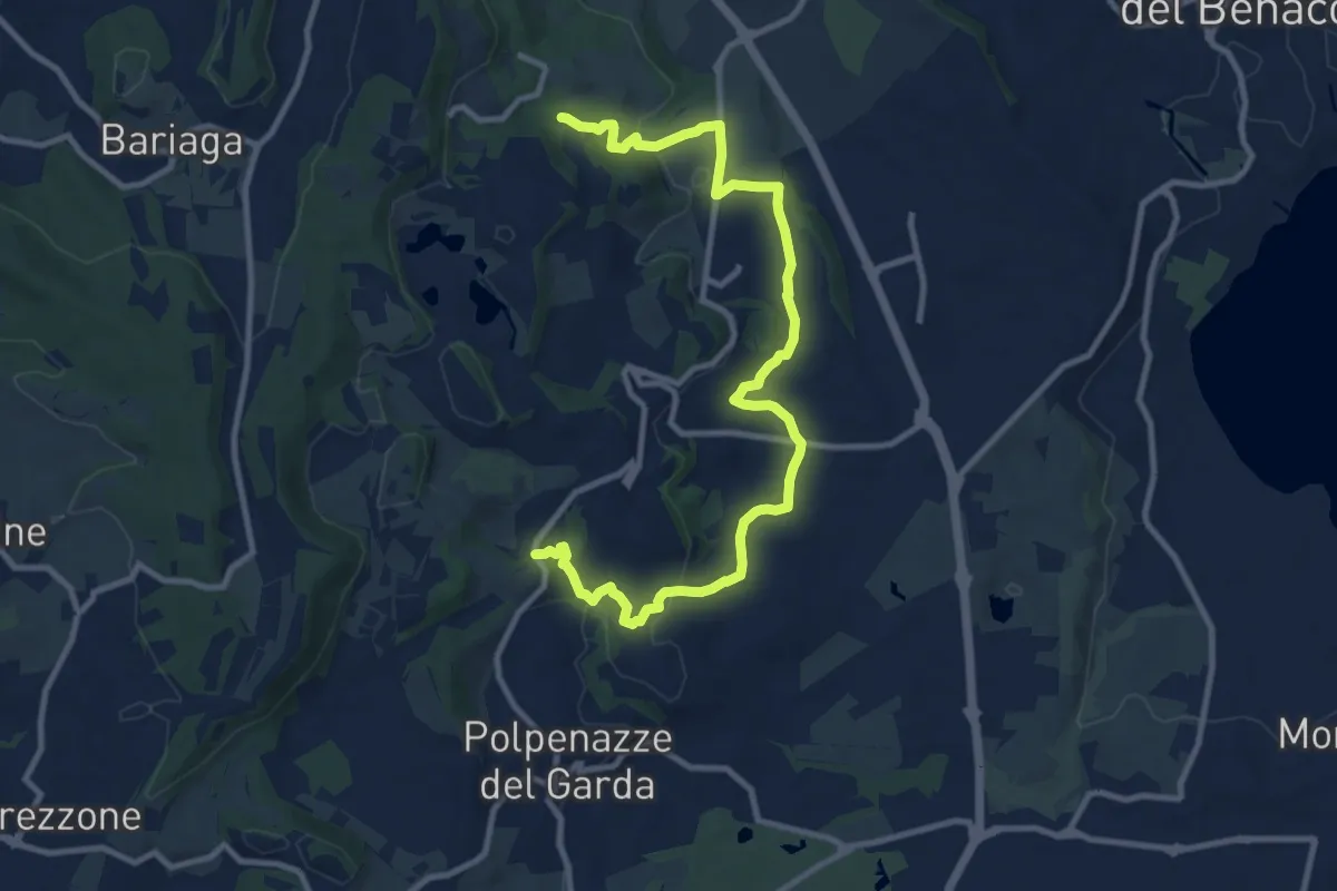
Medium · Trail
6 - Percorsi delle Colline Moreniche di Puegnago
12.6 km · ↑ 267 m · 3 h 34 min · 8 km away
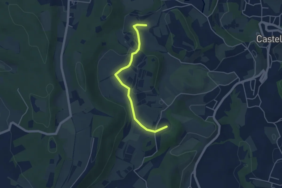
Easy · Summit
BVG di Predefitte
3.5 km · ↑ 29 m · 53 min · 9 km away
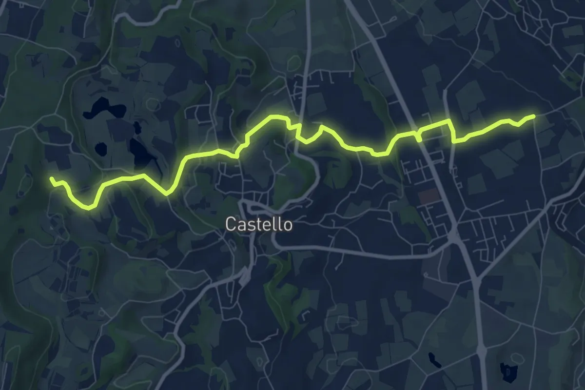
Medium · Trail
2 - Percorsi delle Colline Moreniche di Puegnago
10.1 km · ↑ 195 m · 2 h 48 min · 9 km away
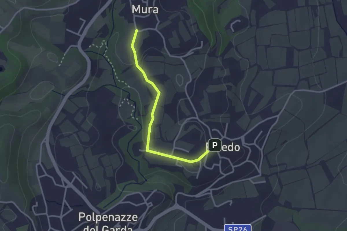
Easy · Trail
7 - Percorsi delle Colline Moreniche di Puegnago
2.7 km · ↑ 38 m · 43 min · 9 km away
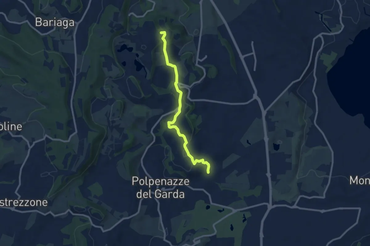
Easy · Summit
4 - Percorsi delle Colline Moreniche di Puegnago
7.9 km · ↑ 166 m · 2 h 14 min · 9 km away
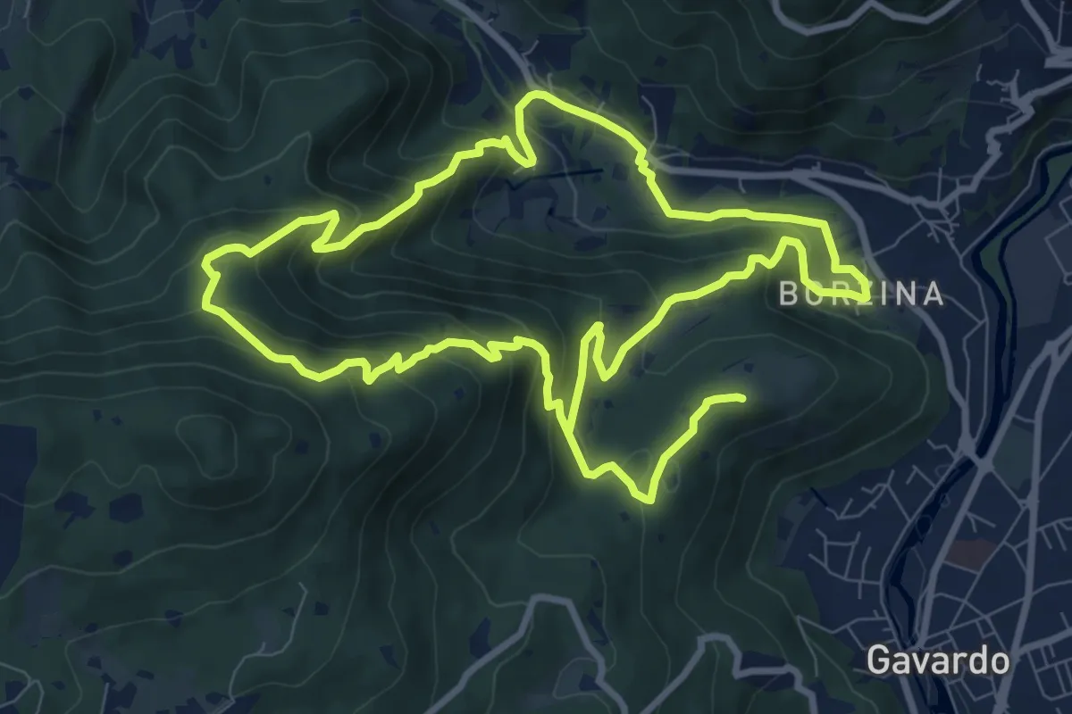
Demanding · Summit
Gavardo (Via Signurì) – Gavardo
18.2 km · ↑ 1056 m · 6 h 35 min · 9 km away
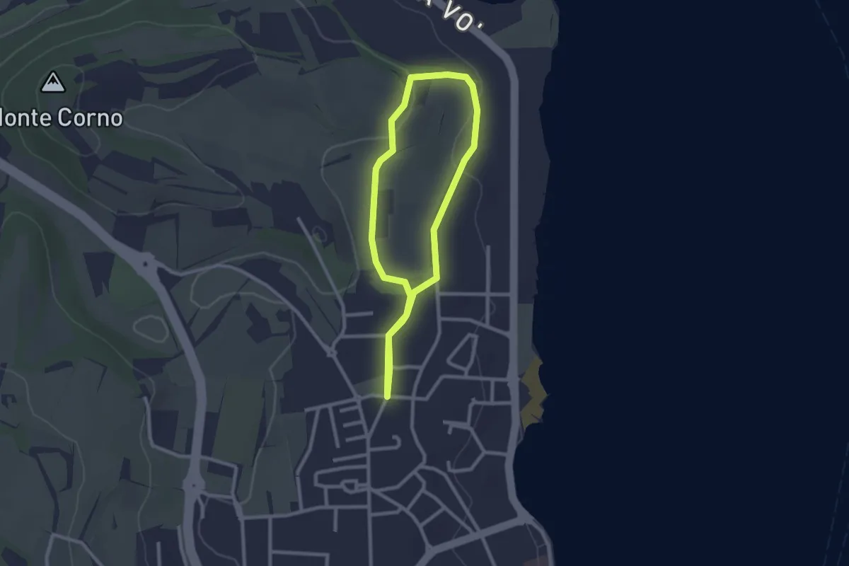
Easy · Trail
Anello del Madergnago
2.2 km · ↑ 21 m · 35 min · 9 km away
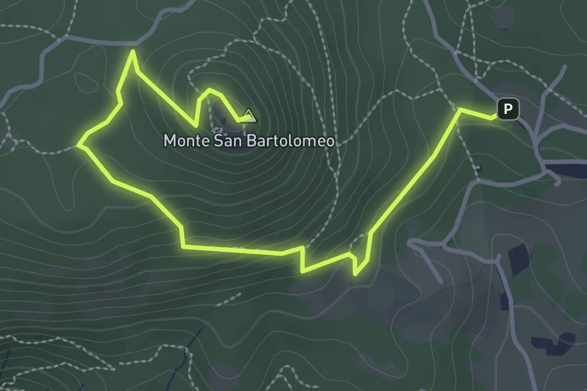
Medium · Summit
Serle (Parcheggio dei Fanti) - Monastero di San Bartolomeo
3.9 km · ↑ 164 m · 1 h 16 min · 9 km away
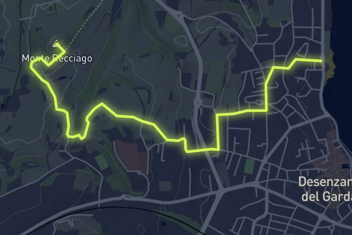
Easy · Summit
Barcuzzi (Via Valsorda) – Desenzano del Garda (Desenzanino)
7.6 km · ↑ 133 m · 2 h 4 min · 10 km away
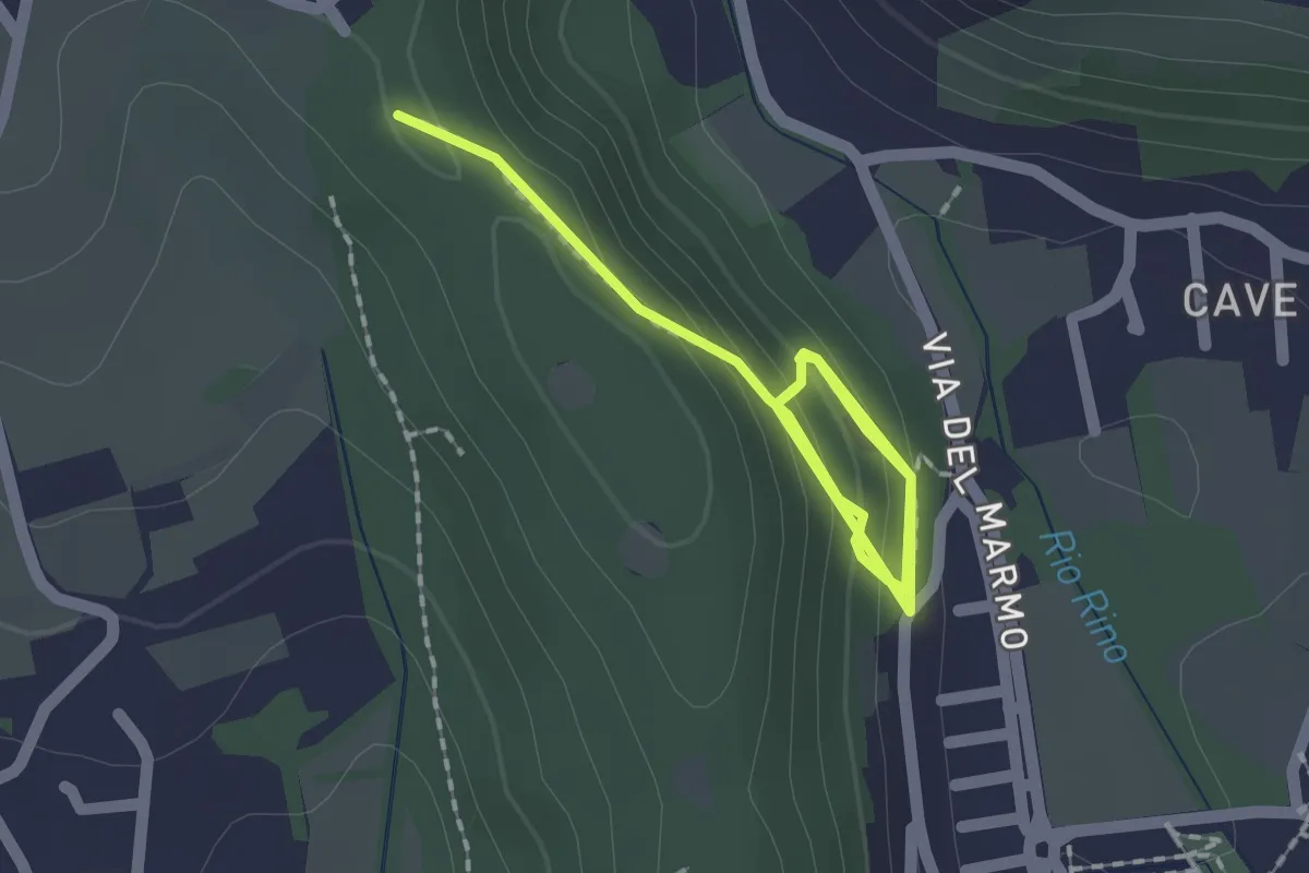
Demanding · Trail
La Via del marmo - Botticino (Castagneto)
2.5 km · ↑ 123 m · 52 min · 10 km away
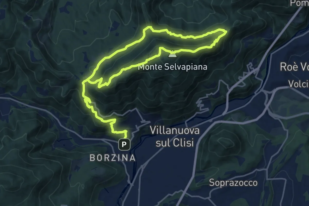
Demanding · Summit
Gavardo (Sopraponte) – Sopraponte
11.8 km · ↑ 965 m · 4 h 51 min · 10 km away
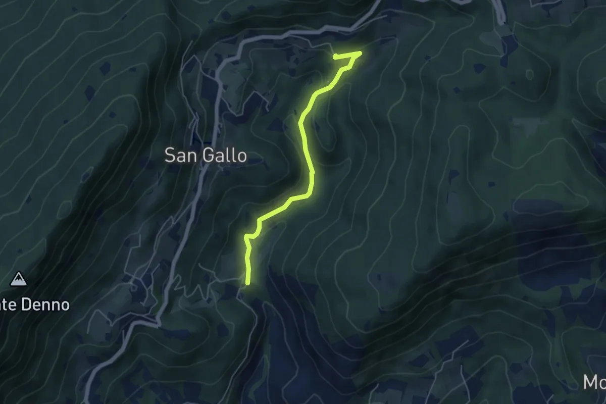
Medium · Summit
La Via del marmo - Botticino (Molino dell'Ora- Castello di Serle)
4.5 km · ↑ 178 m · 1 h 27 min · 10 km away
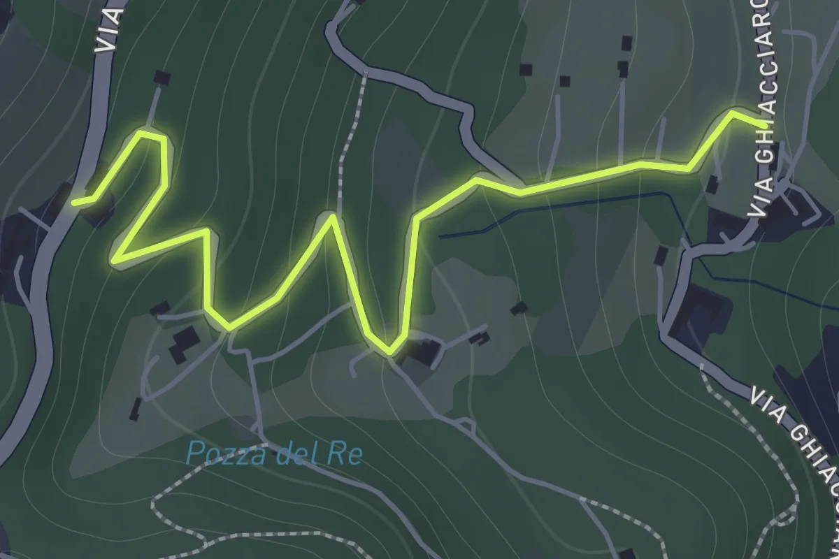
Easy · Trail
La Via del marmo - Botticino (San Gallo)
2.0 km · ↑ 147 m · 48 min · 10 km away
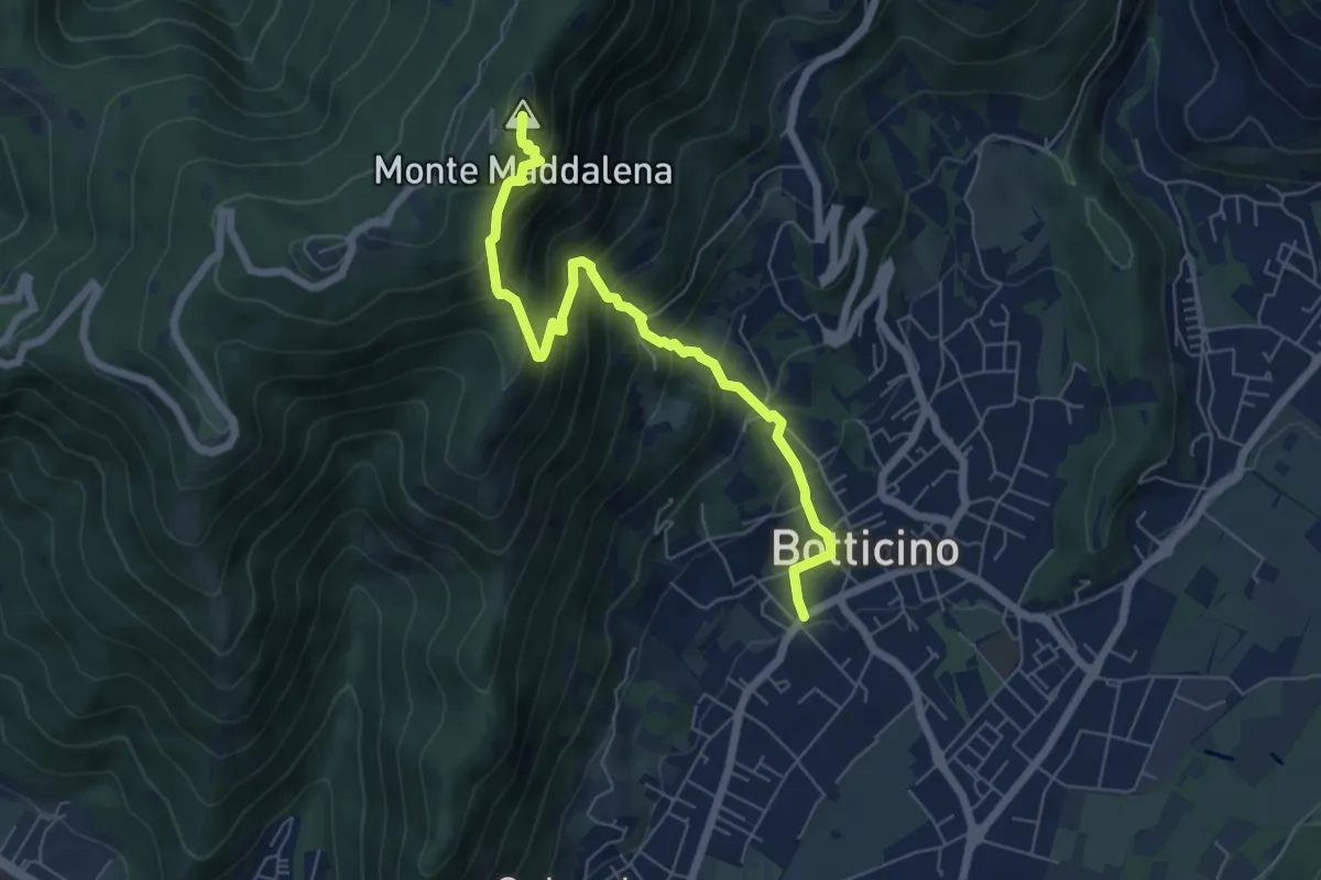
Medium · Summit
Botticino (Via Gioacchino Rossini) – Ex Rifugio Monte Maddalena
6.6 km · ↑ 756 m · 3 h 12 min · 10 km away
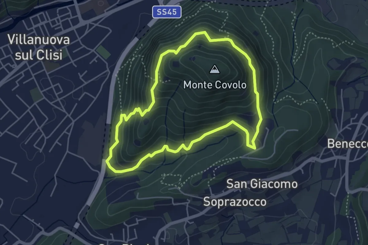
Medium · Trail
Anello Monte Covolo
4.0 km · ↑ 279 m · 1 h 36 min · 10 km away
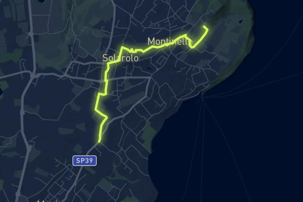
Easy · Summit
Perlino – Museo archeologico
7.7 km · ↑ 99 m · 2 h 1 min · 10 km away
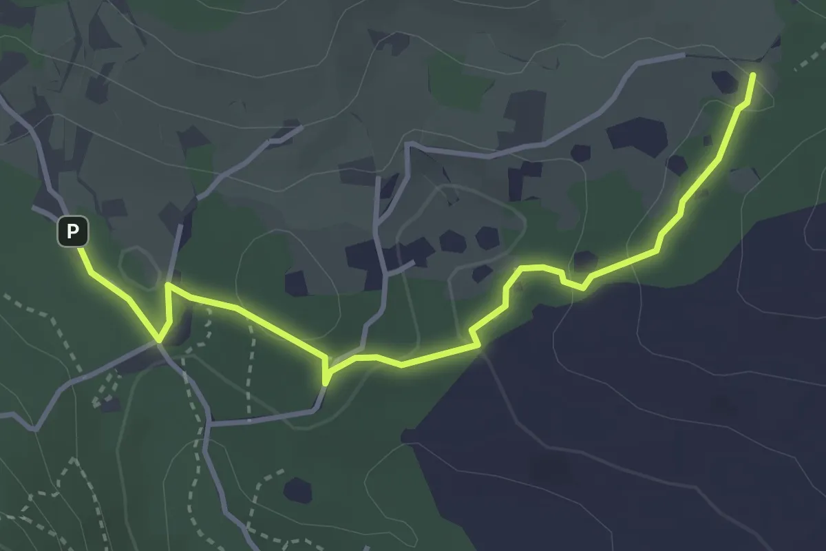
Easy · Trail
Sentiero del Büs del Lat
3.9 km · ↑ 74 m · 1 h 4 min · 10 km away
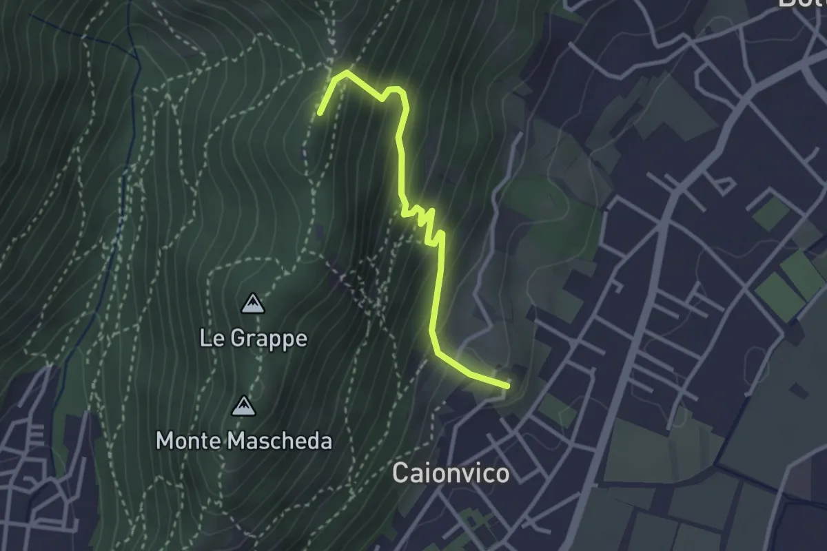
Demanding · Summit
Caionvico (Cimitero) – Sella della Poffa (Innesto Sentiero 901)
2.7 km · ↑ 293 m · 1 h 17 min · 11 km away
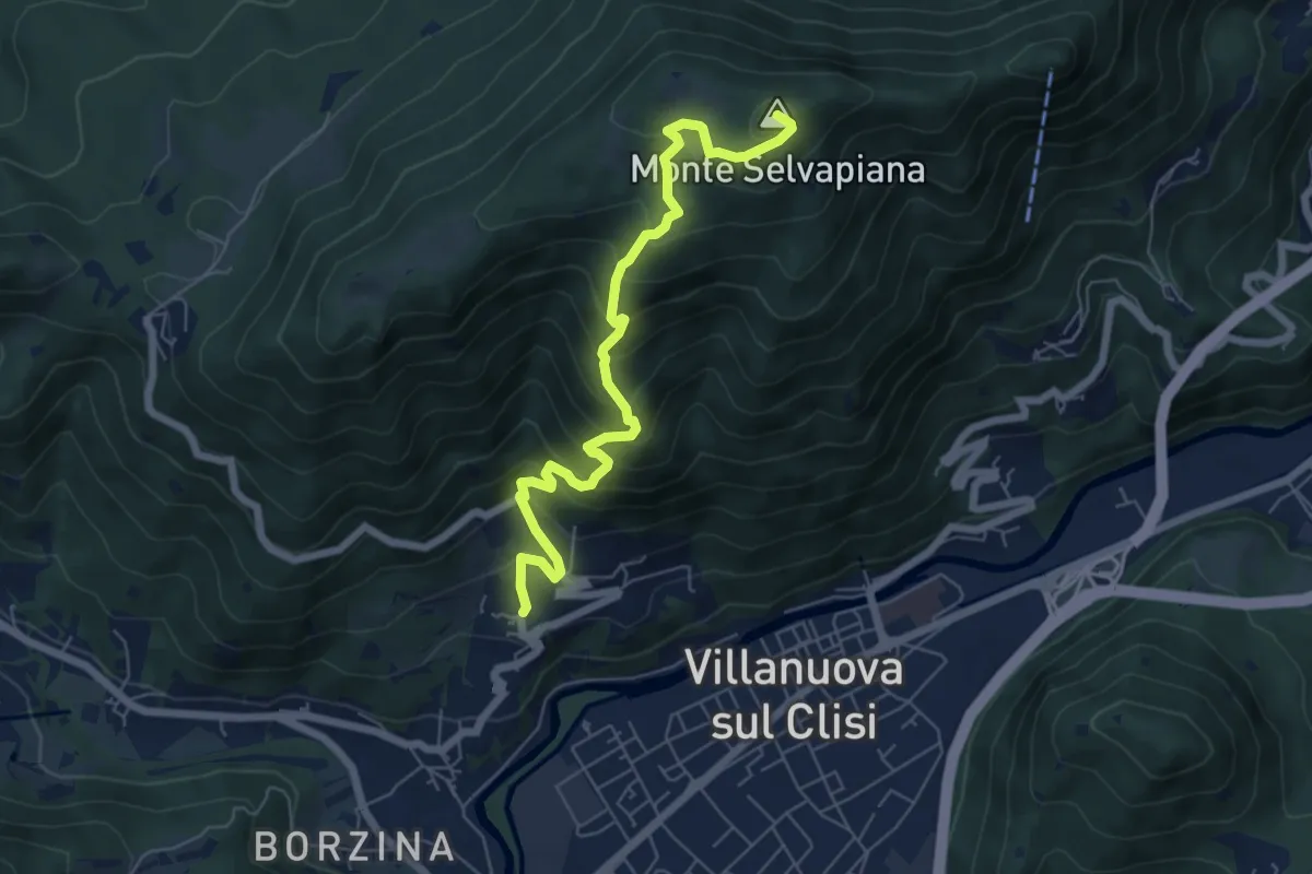
Medium · Summit
Gavardo (Quarena) – Selvapiana
6.7 km · ↑ 634 m · 2 h 58 min · 11 km away
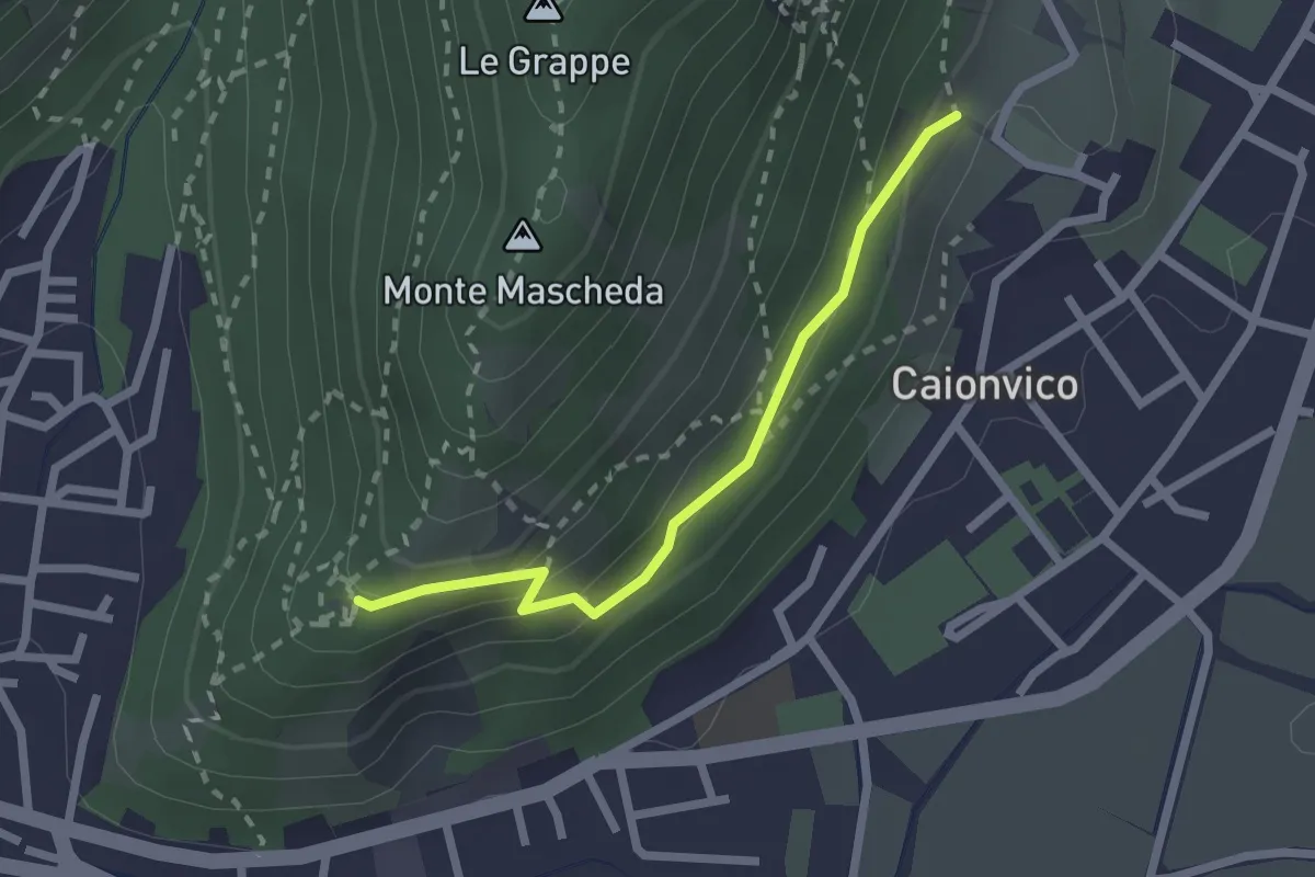
Medium · Trail
Sentiero della Ruta
2.1 km · ↑ 95 m · 42 min · 11 km away
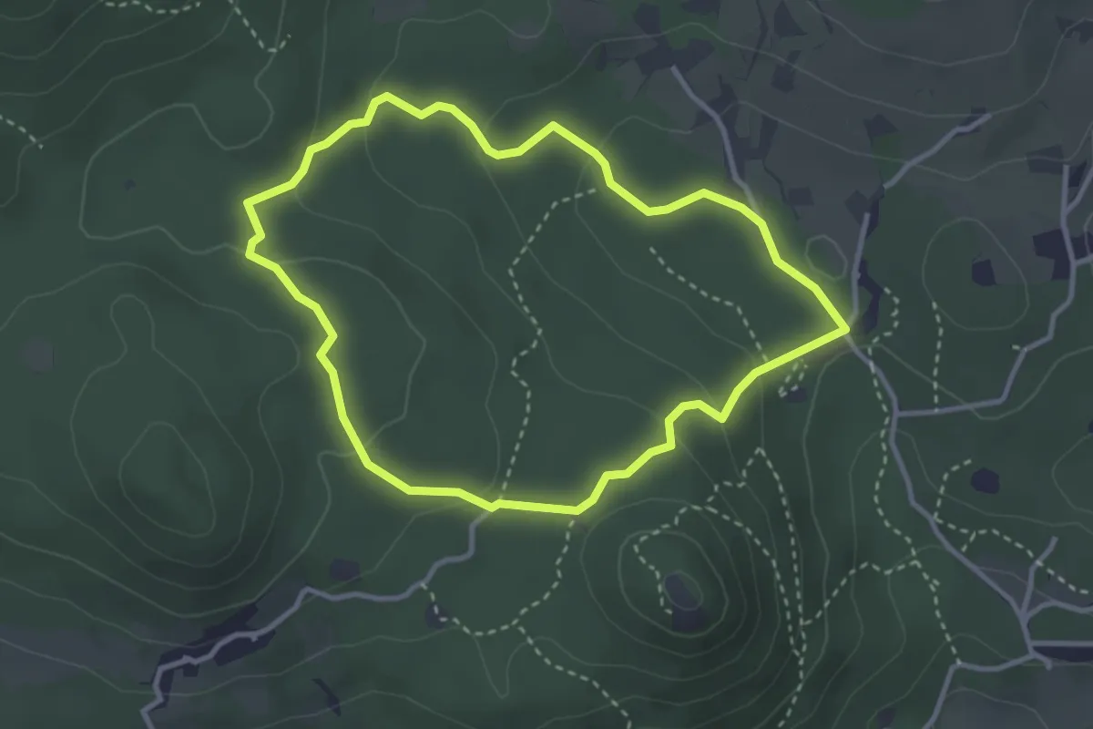
Easy · Trail
Serle (Grotta della Carbonella) - Büs de la Pocia
3.2 km · ↑ 108 m · 1 h 2 min · 11 km away
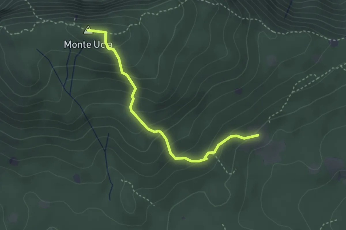
Easy · Summit
Serle (Cascina del Comune) - Corna di Caino
3.1 km · ↑ 265 m · 1 h 19 min · 11 km away
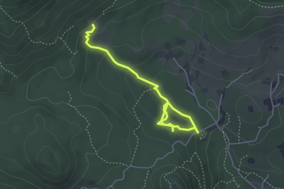
Easy · Trail
Sentiero degli Omber
2.2 km · ↑ 40 m · 40 min · 11 km away