Trails near Bedizzole
133 hikes starting within 15 km, nearest first.
Nearest first, page 2 of 3
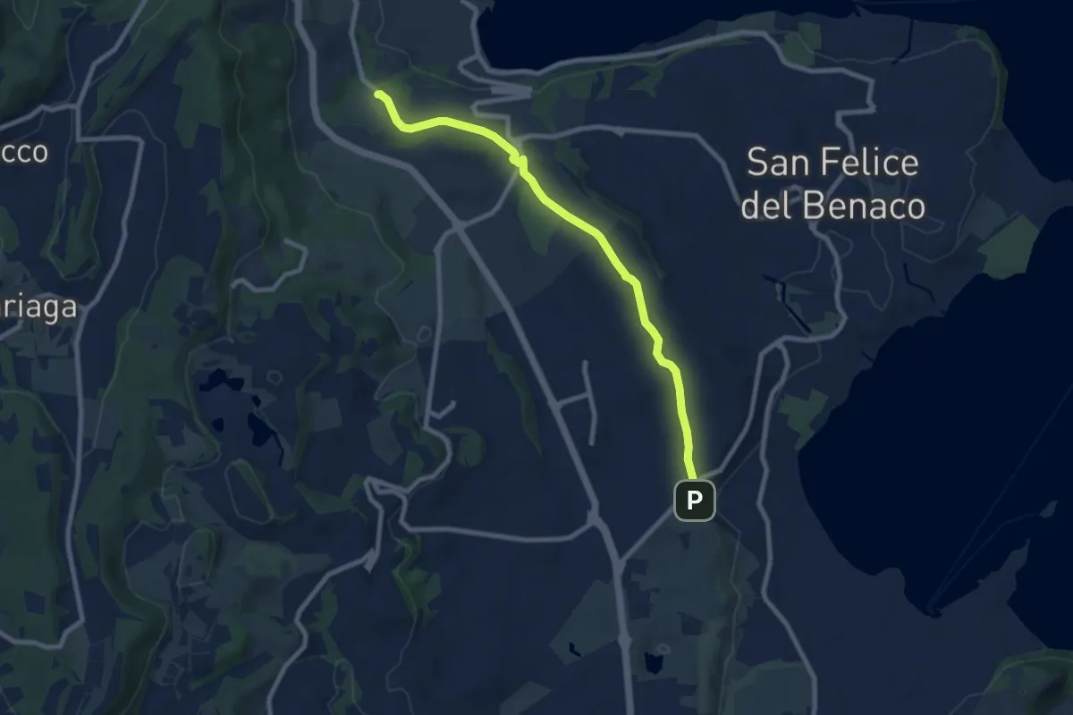
Medium · Trail
Via del Paradiso
8.5 km · ↑ 75 m · 2 h 11 min · 11 km away
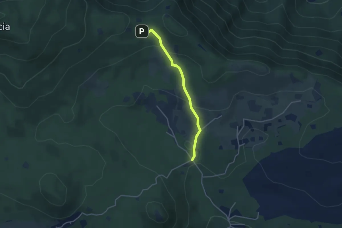
Easy · Cabin
Serle (Rifugio Alpini di Serle) - Monte Ucia - Corna di Caino
2.9 km · ↑ 122 m · 57 min · 11 km away
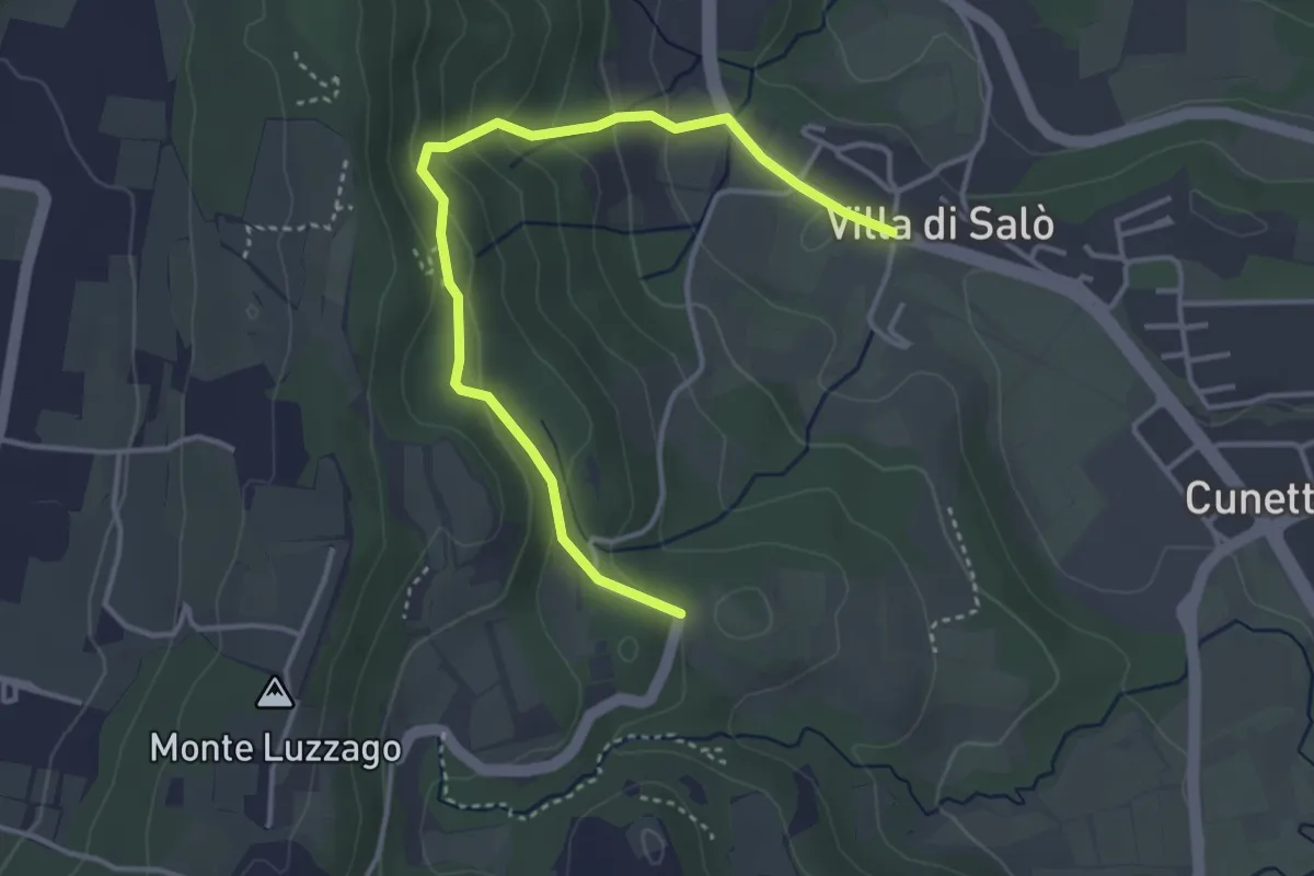
Easy · Trail
Anello della chiesetta degli Alpini
4.1 km · ↑ 202 m · 1 h 24 min · 11 km away
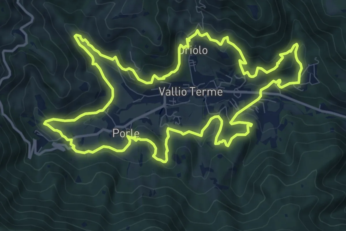
Medium · Trail
Giro delle contrade
11.6 km · ↑ 525 m · 4 h 2 min · 11 km away
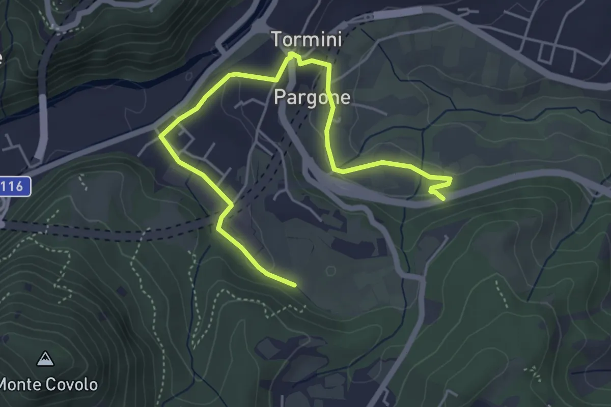
Easy · Trail
Percorso Sud-Ovest Roè Volciano
5.5 km · ↑ 141 m · 1 h 36 min · 11 km away
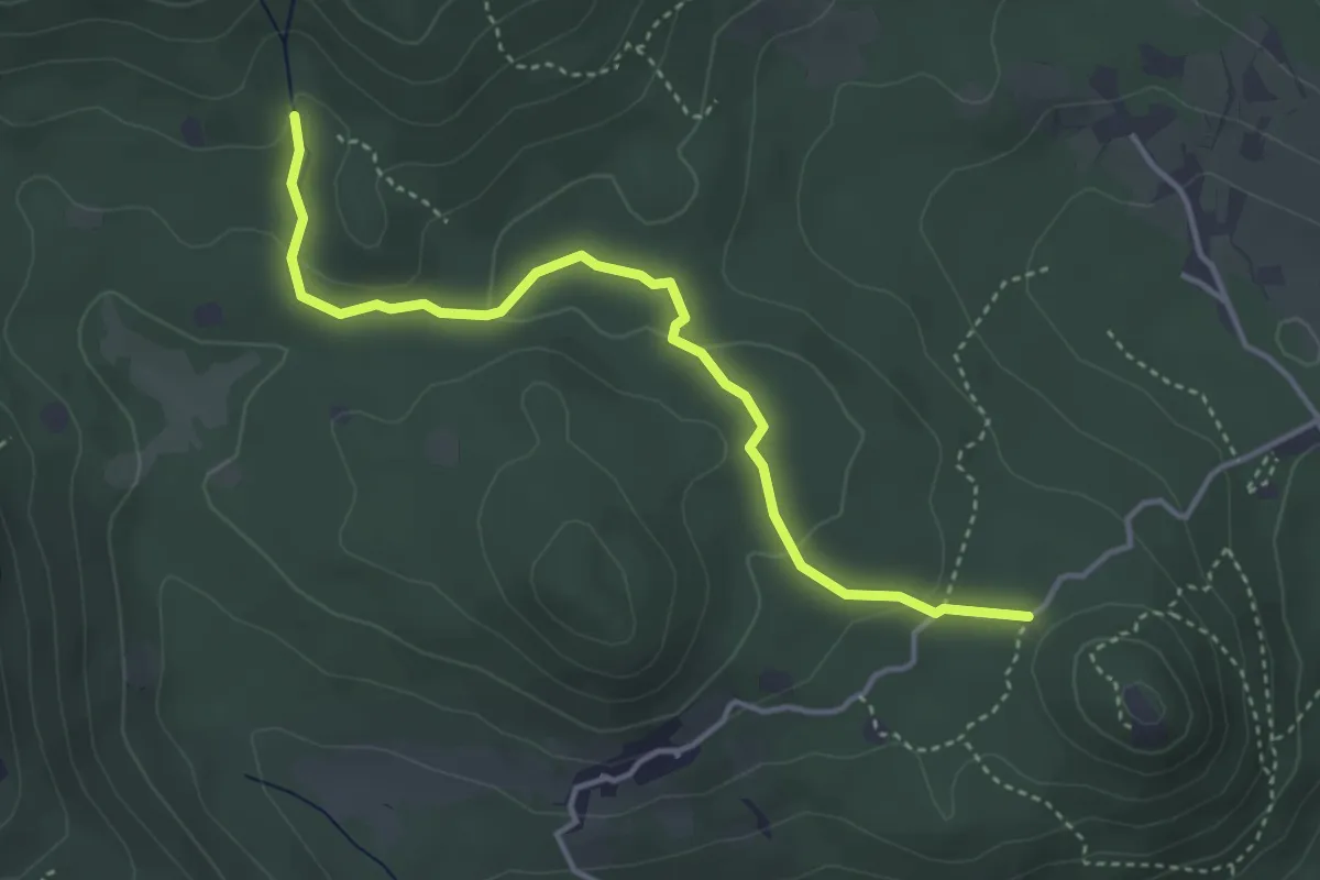
Easy · Trail
Serle (Santuario di San Bartolomeo) - Monte Ucia
4.1 km · ↑ 123 m · 1 h 14 min · 11 km away
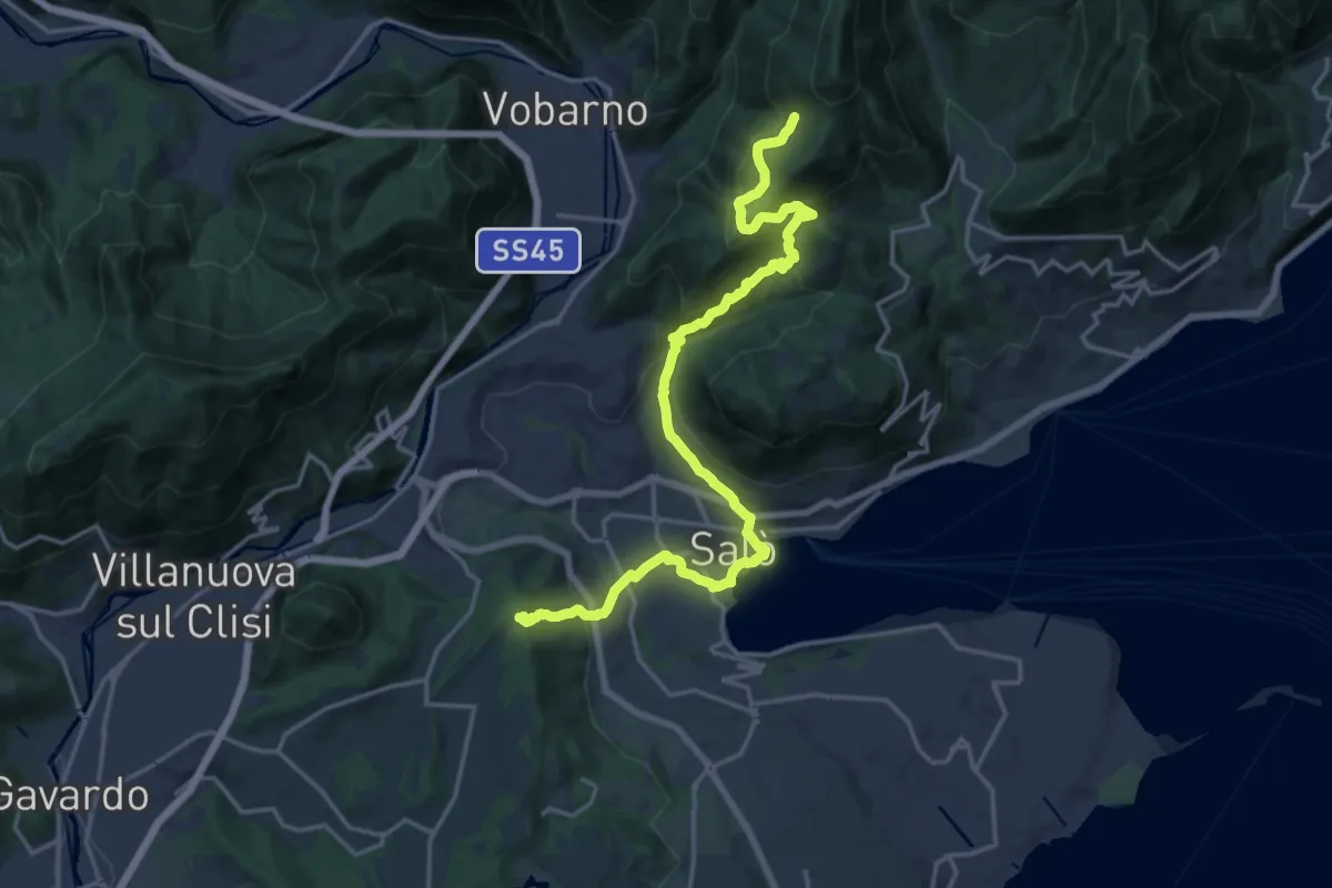
Demanding · Trail
Cascina Trat – Bocca alla Croce
20.6 km · ↑ 1026 m · 7 h 5 min · 11 km away
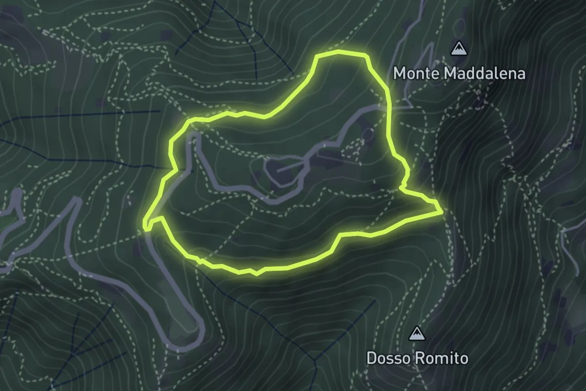
Demanding · Trail
Anello delle Pozze
3.4 km · ↑ 182 m · 1 h 15 min · 11 km away
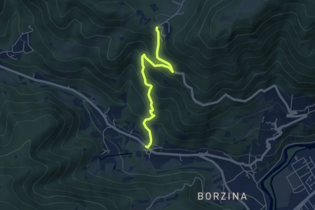
Medium · Trail
Gavardo (Soseto) – Osteria Monte Magno
4.4 km · ↑ 380 m · 1 h 51 min · 11 km away
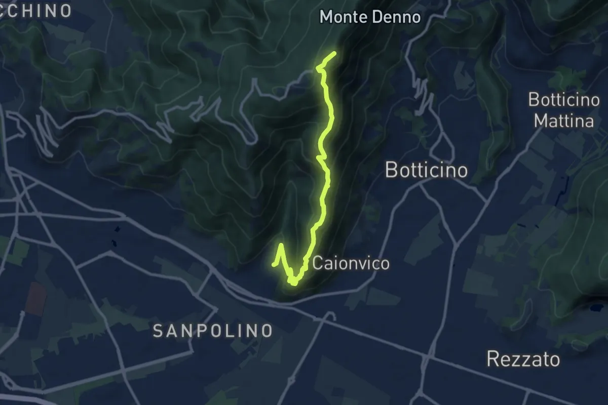
Demanding · Summit
Brescia (Sant'Eufemia - Via Cesare Noventa) – Ex Rifugio Monte Maddalena
9.1 km · ↑ 718 m · 3 h 42 min · 12 km away
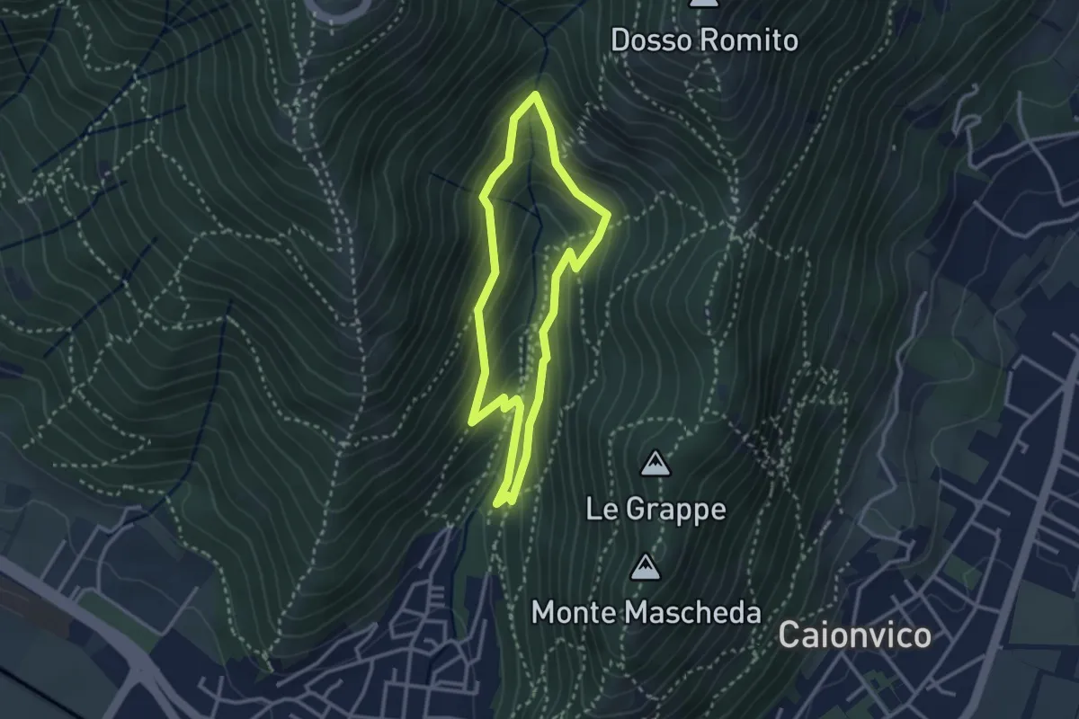
Medium · Trail
Sentiero dei Bucaneve
2.6 km · ↑ 240 m · 1 h 10 min · 12 km away
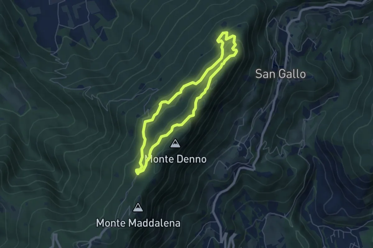
Medium · Summit
Sentiero Brigata Fiamme Verdi Dieci Giornate
5.0 km · ↑ 254 m · 1 h 48 min · 12 km away
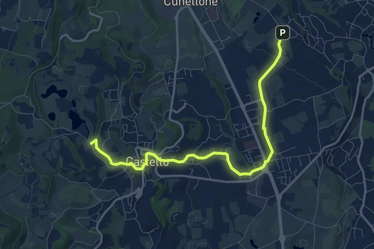
Medium · Trail
5 - Percorsi delle Colline Moreniche di Puegnago
9.5 km · ↑ 198 m · 2 h 40 min · 12 km away
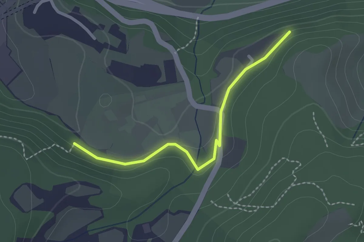
Easy · Trail
Bissinico di Sopra
2.0 km · ↑ 50 m · 35 min · 12 km away
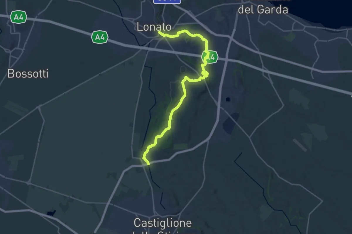
Demanding · Trail
Lonato – Esenta
19.2 km · ↑ 258 m · 5 h 5 min · 12 km away
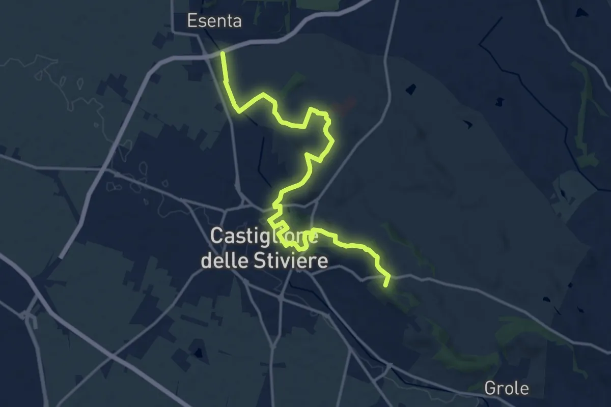
Medium · Summit
Sentiero Ovest Via dei Crinali
14.9 km · ↑ 263 m · 4 h 6 min · 12 km away
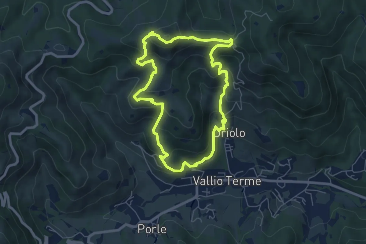
Medium · Summit
Vallio Terme (Vigle) - Rocca di Bernacco - Oriolo
5.2 km · ↑ 400 m · 2 h 11 min · 12 km away
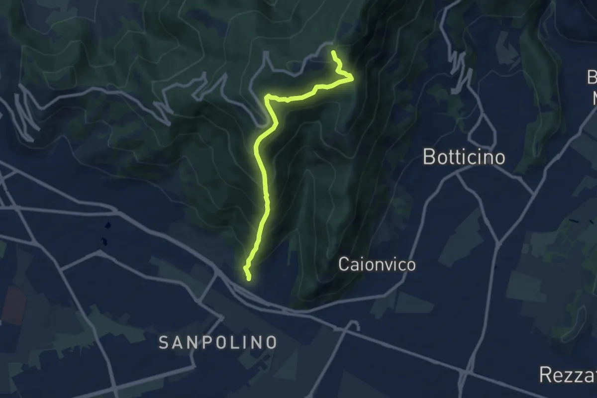
Demanding · Trail
Brescia (Via del Triinale) – Chiesetta della Maddalena
7.4 km · ↑ 760 m · 3 h 24 min · 12 km away
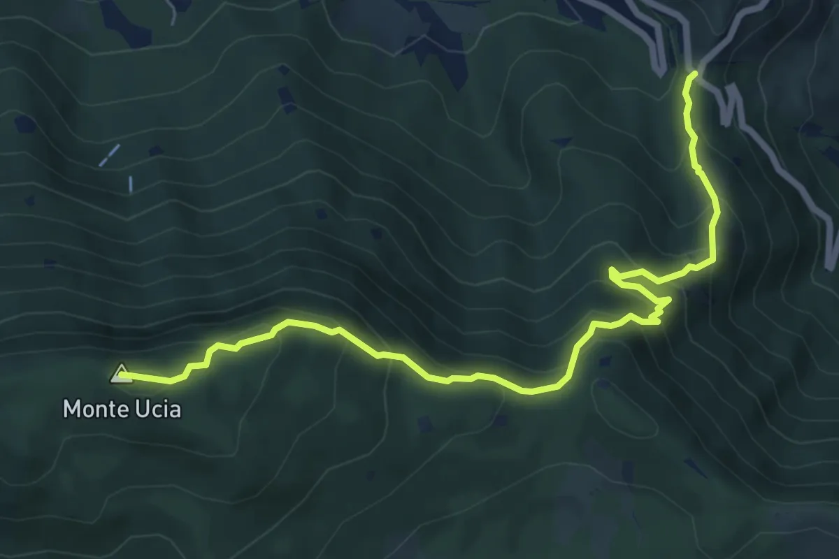
Medium · Summit
Sentiero Donna - Guarneri
7.2 km · ↑ 651 m · 3 h 7 min · 12 km away
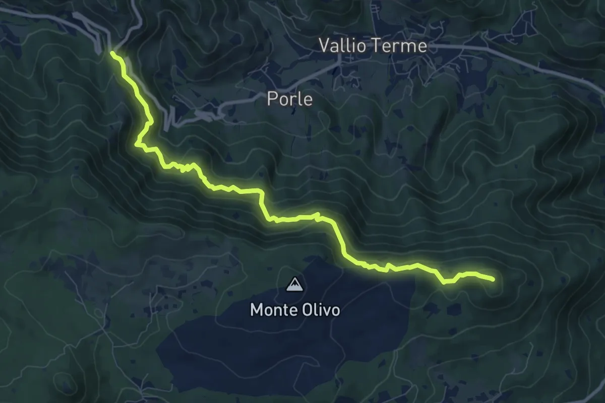
Medium · Summit
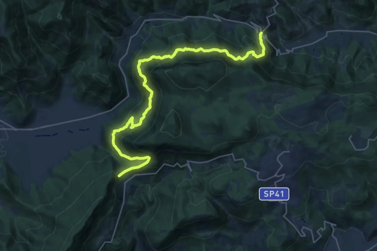
Sentér de mès
10.1 km · ↑ 629 m · 3 h 45 min · 12 km away
Demanding · Summit
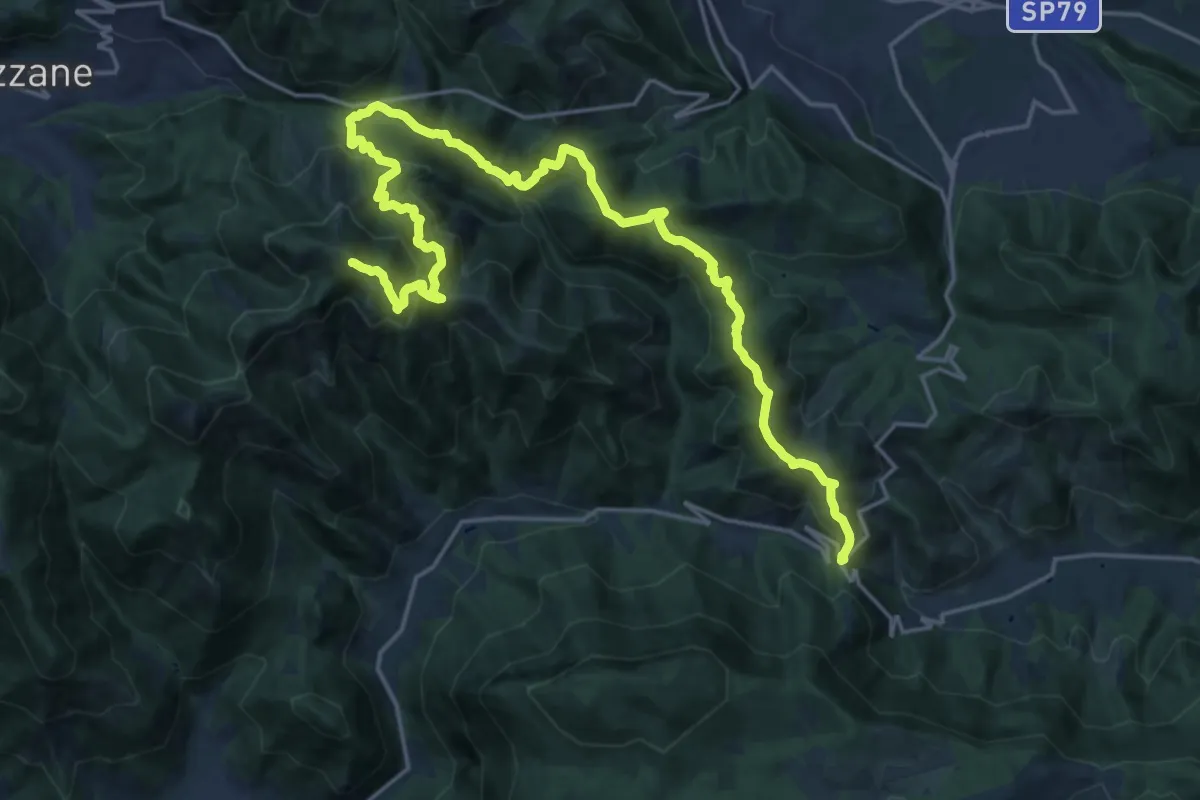
Sentér Bandìt
22.8 km · ↑ 2084 m · 9 h 53 min · 12 km away
Expert · Summit
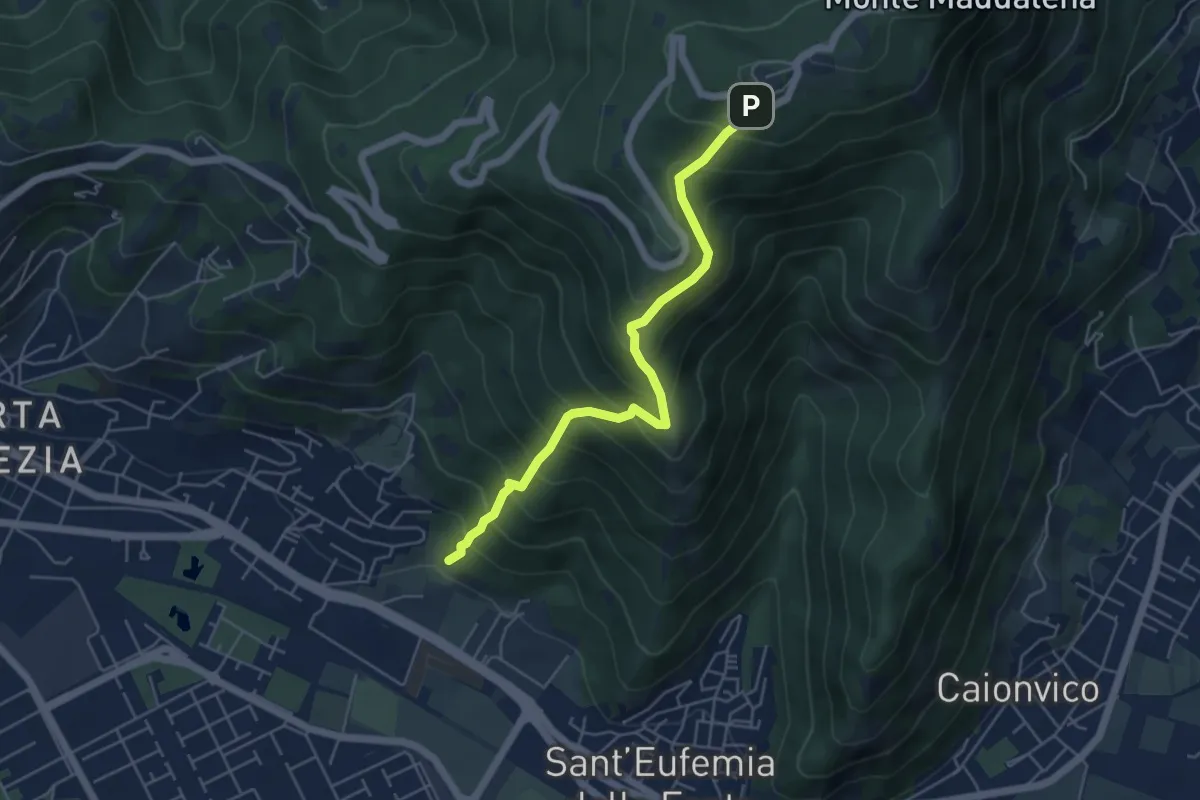
Caino (Villa Sera) – Colle di Sant'Eusebio
24.7 km · ↑ 1761 m · 9 h 39 min · 12 km away
Medium · Trail
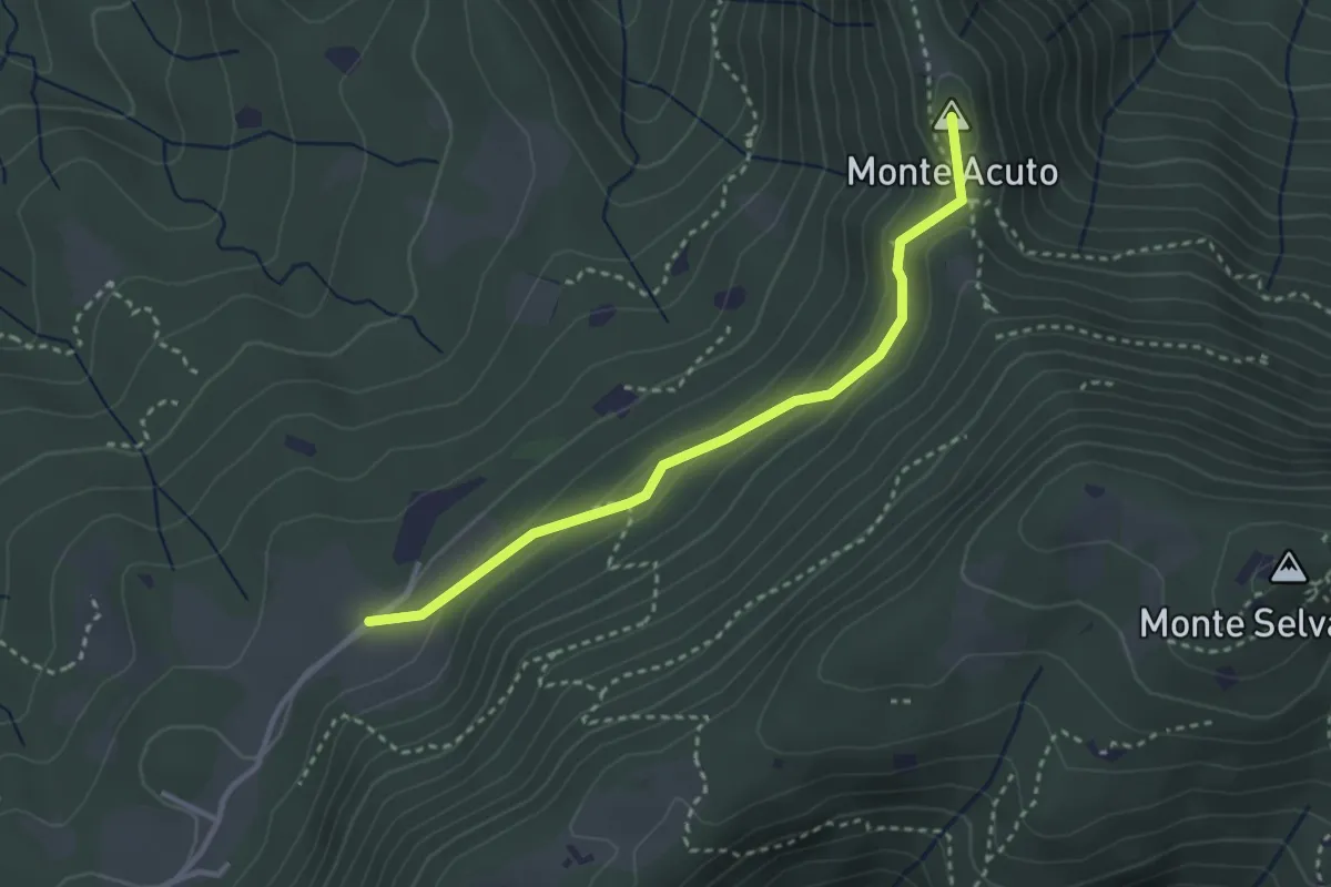
Sentiero Pastori 2
5.2 km · ↑ 637 m · 2 h 36 min · 12 km away
Medium · Summit
Sabbio Chiese (Monte Acuto - Innesto Sentiero 495) - Monte Magno
3.1 km · ↑ 162 m · 1 h 4 min · 12 km away
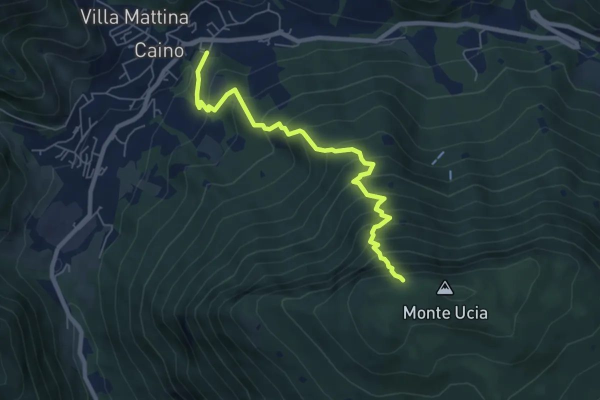
Demanding · Trail
Caino – Monte Ucia (Innesto Sentiero 391)
5.7 km · ↑ 736 m · 2 h 56 min · 12 km away
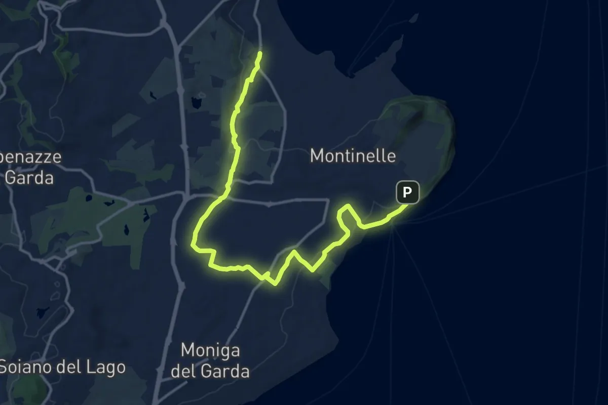
Medium · Trail
Pieve Vecchia – Chiesa di San Giorgio
15.3 km · ↑ 218 m · 4 h 6 min · 12 km away
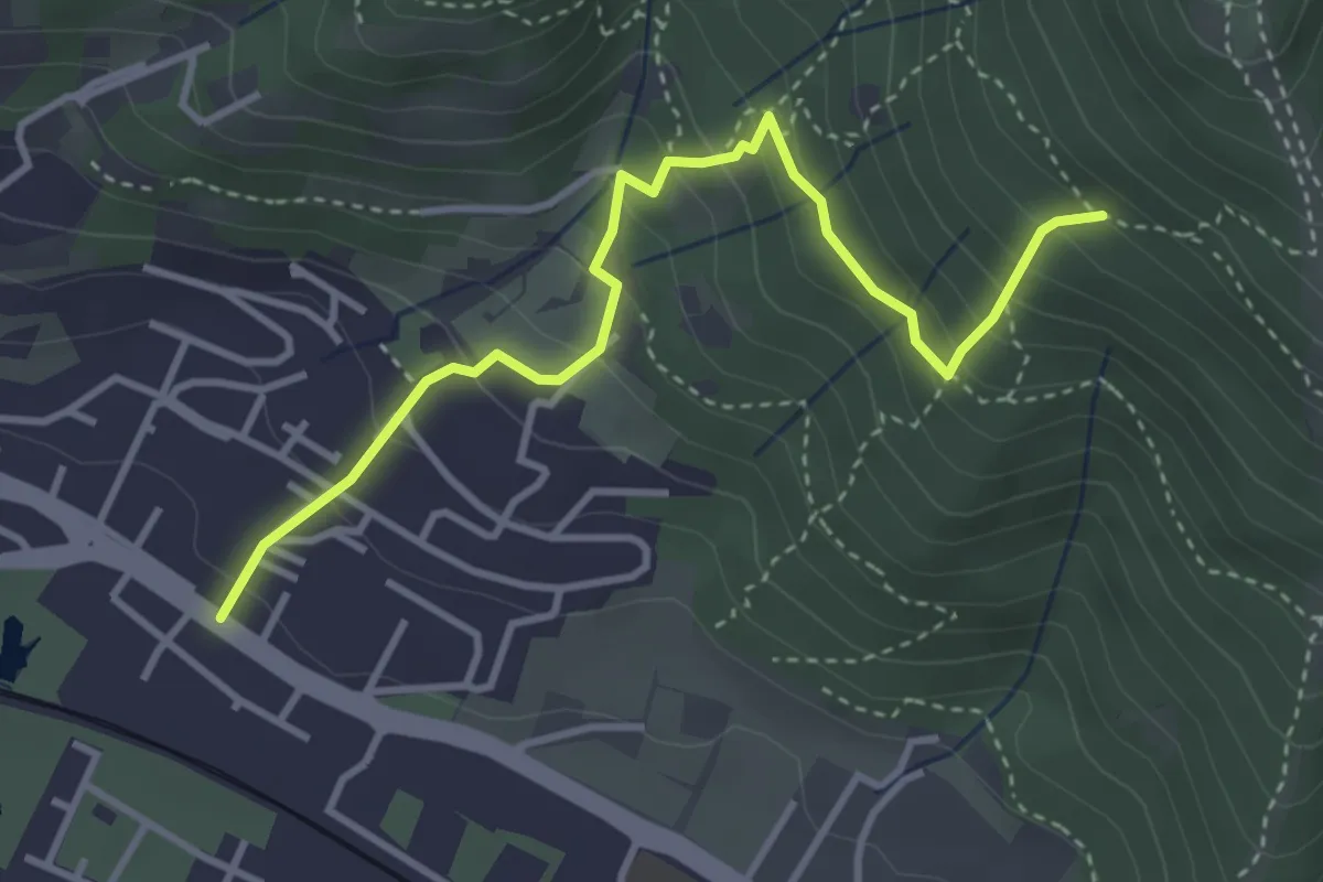
Medium · Trail
Brescia (Viale della Bornata) – Innesto Sentiero 912
3.9 km · ↑ 337 m · 1 h 39 min · 12 km away
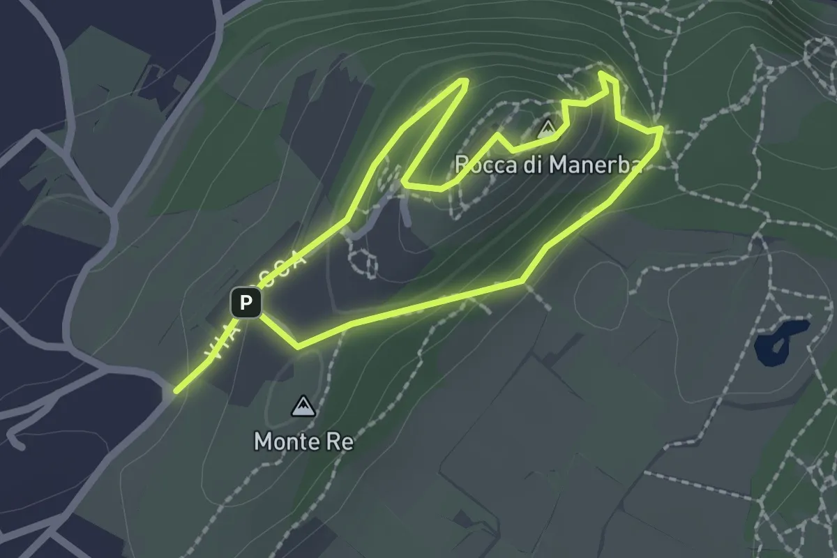
Expert · Summit
Sentiero 4 - Rocca di Manerba del Garda
1.8 km · ↑ 79 m · 37 min · 12 km away
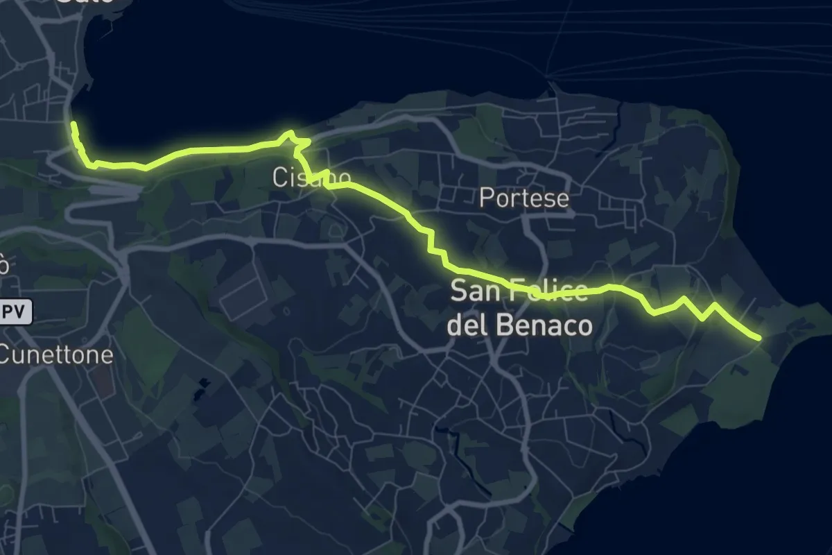
Medium · Trail
1 San Felice del Benaco
10.1 km · ↑ 174 m · 2 h 46 min · 12 km away
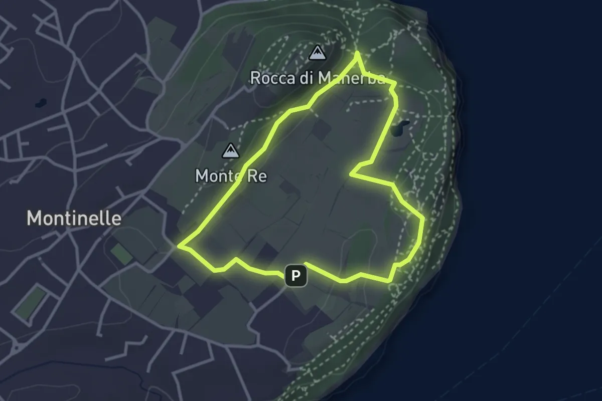
Easy · Summit
Sentiero 5 - Rocca di Manerba del Garda
2.9 km · ↑ 50 m · 50 min · 12 km away
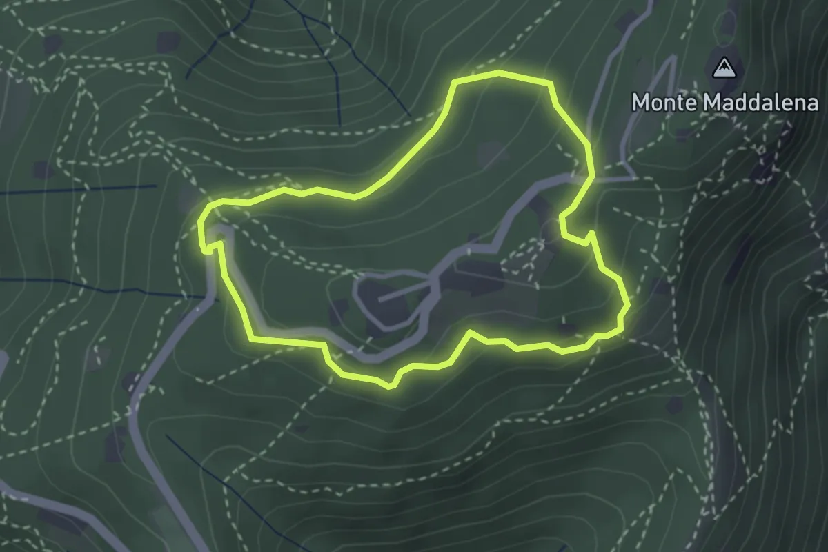
Medium · Trail
Anello della Maddalena
2.7 km · ↑ 144 m · 59 min · 12 km away
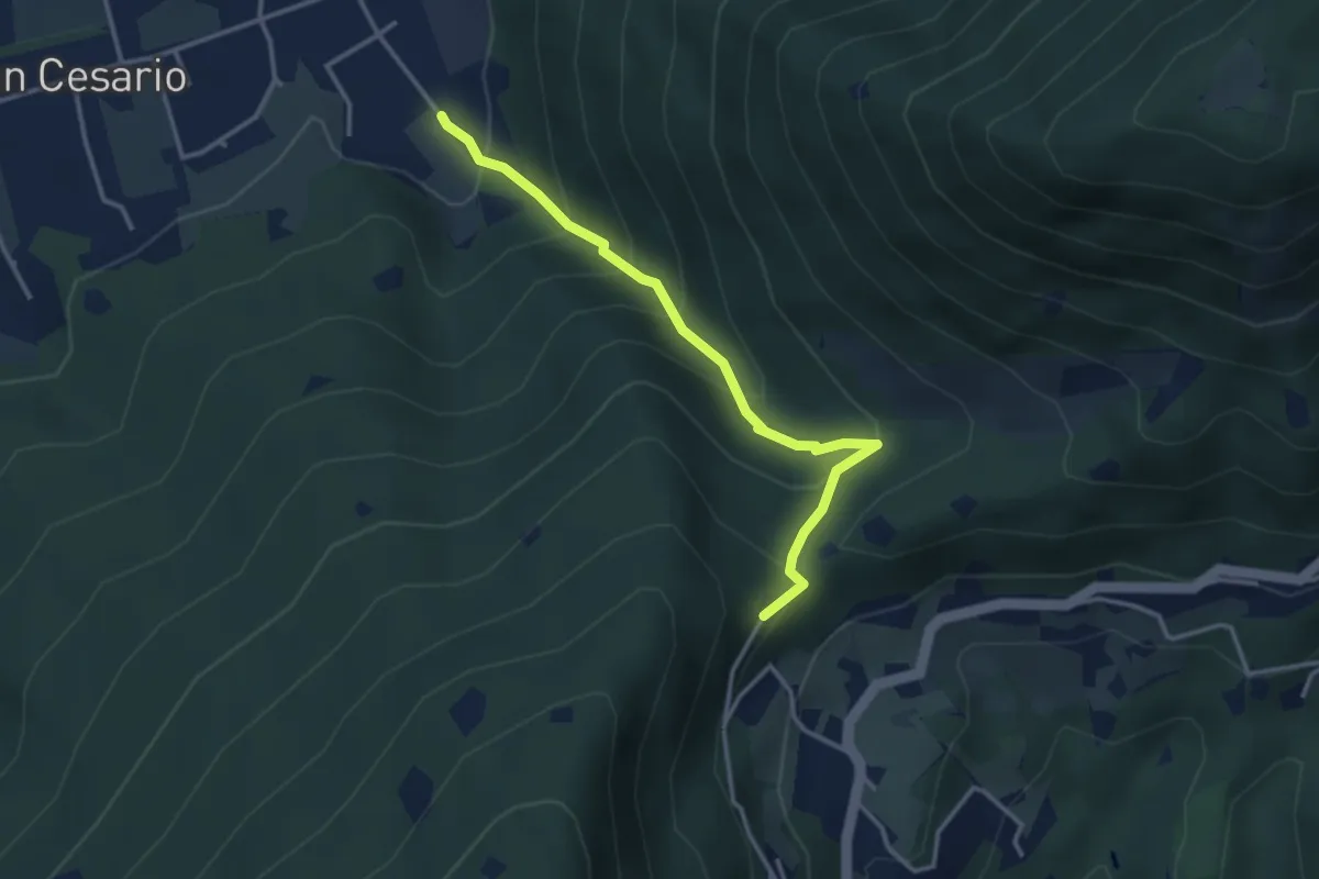
Demanding · Summit
Nave (Calasa) – Colle San Vito
3.4 km · ↑ 343 m · 1 h 32 min · 12 km away
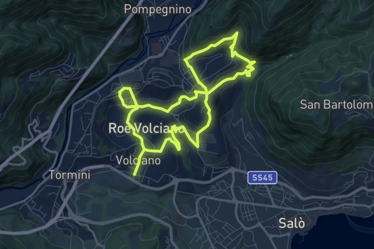
Medium · Trail
Percorso delle Chiese - Roè Volciano
16.7 km · ↑ 687 m · 5 h 26 min · 12 km away
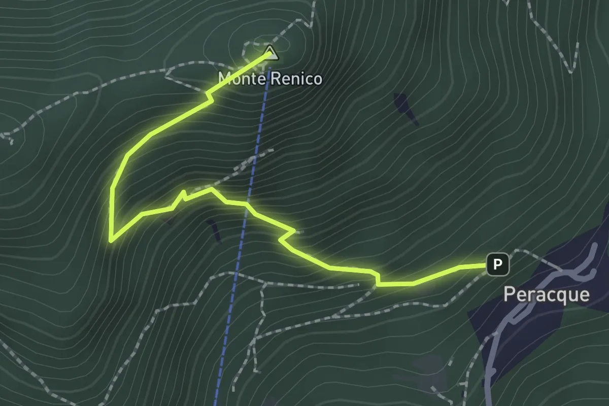
Medium · Summit
Villanuova sul Clisi (Peracque) - Madonna della Neve
2.3 km · ↑ 329 m · 1 h 16 min · 13 km away
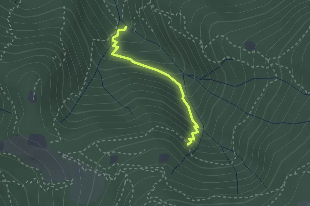
Medium · Cabin
Sentiero di Jago
1.9 km · ↑ 249 m · 59 min · 13 km away
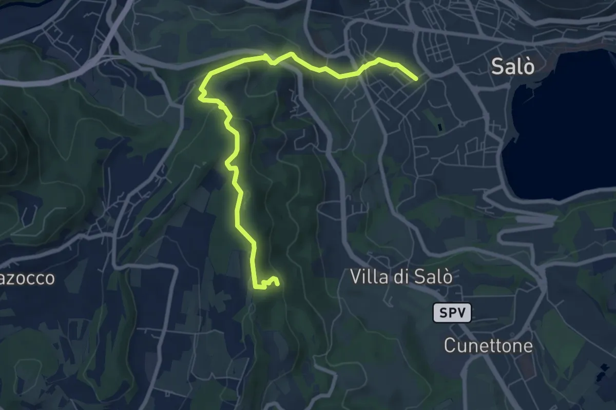
Easy · Trail
Campoverde - Navelli
7.9 km · ↑ 312 m · 2 h 33 min · 13 km away
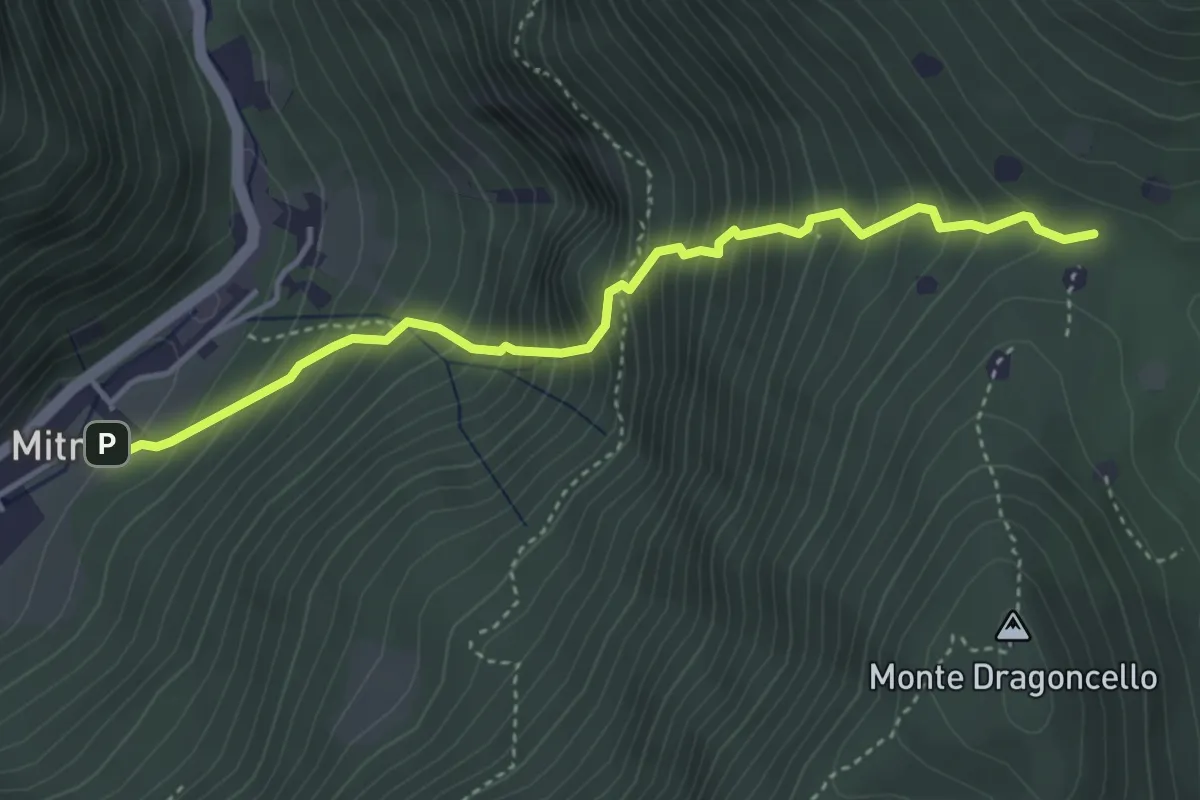
Demanding · Trail
Sentiero della dieta
4.1 km · ↑ 675 m · 2 h 26 min · 13 km away
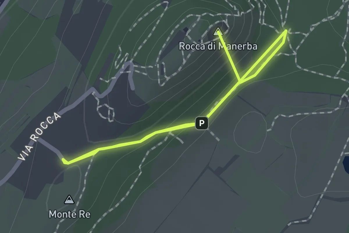
Easy · Summit
Sentiero 3 - Rocca di Manerba del Garda
2.2 km · ↑ 69 m · 40 min · 13 km away
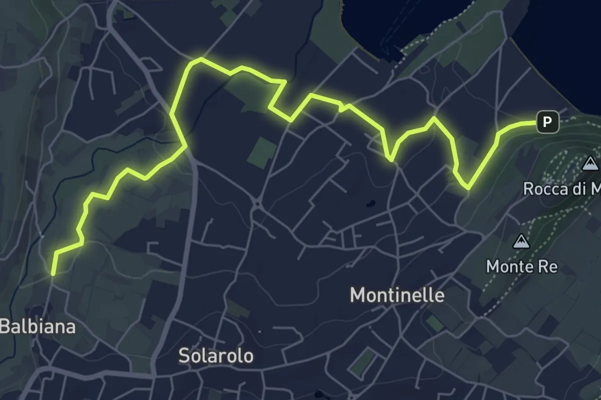
Easy · Trail
Manerba del Garda (Balbiana) – Parcheggio spiaggia di Pisenze
7.6 km · ↑ 65 m · 1 h 57 min · 13 km away
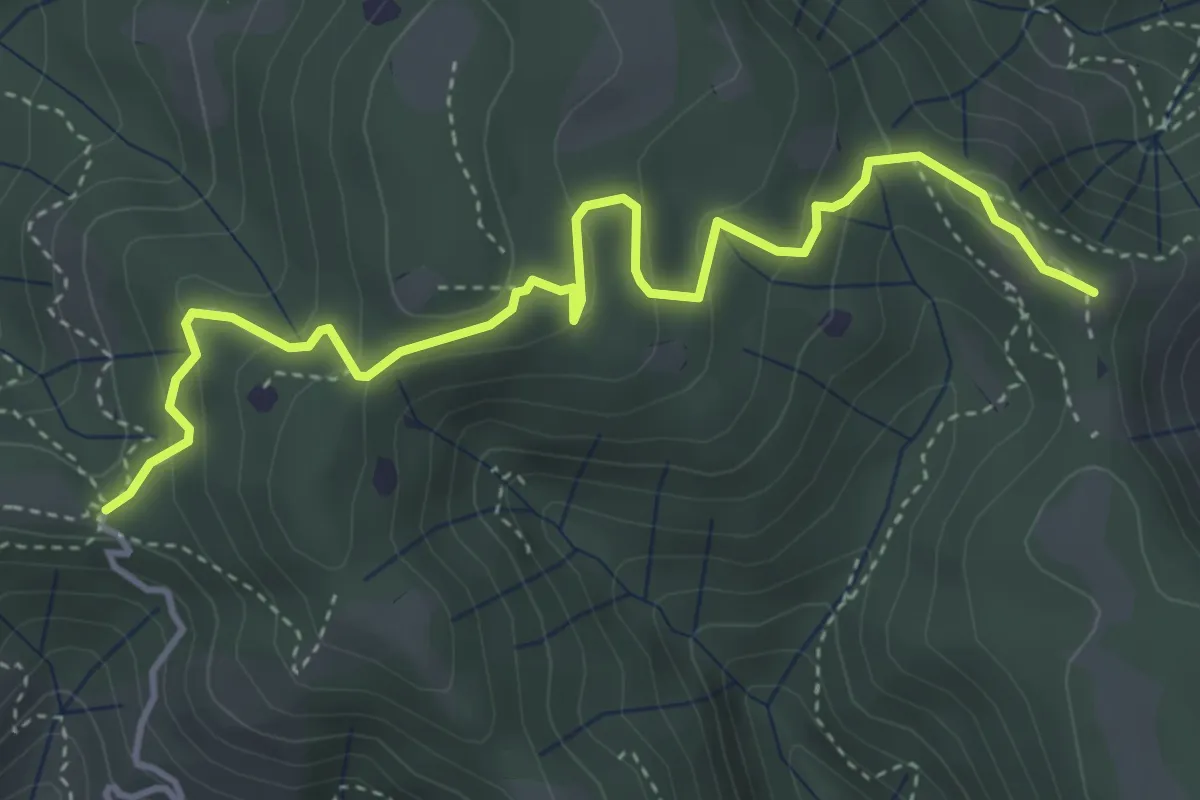
Easy · Summit
Vallio Terme (Barcolo) - Gavardo (Osteria Monte Magno)
4.7 km · ↑ 206 m · 1 h 33 min · 13 km away
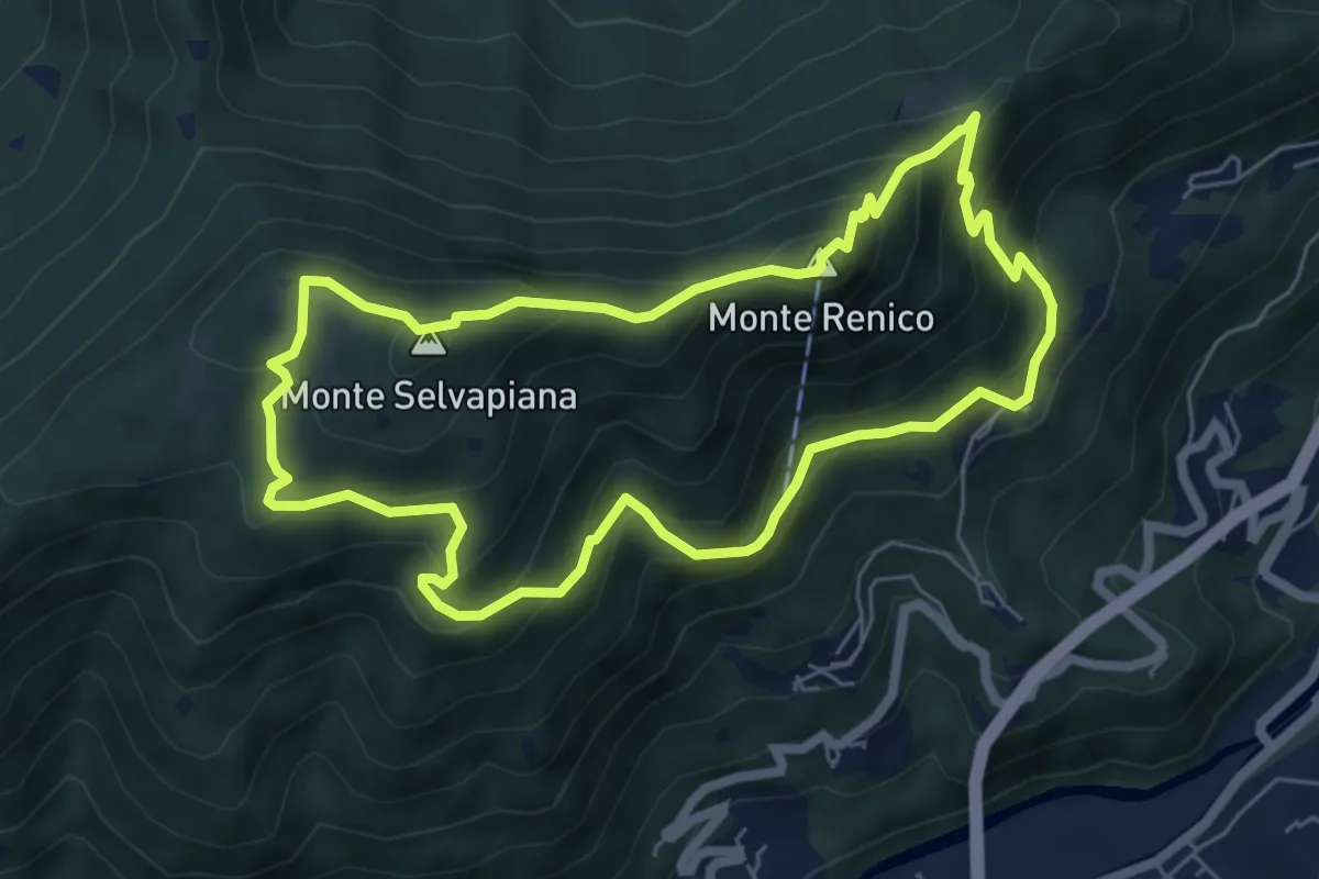
Medium · Summit
Villanuova sul Clisi (Peracque) - Madonna della Neve - Selvapiana - Peracque
6.2 km · ↑ 481 m · 2 h 35 min · 13 km away
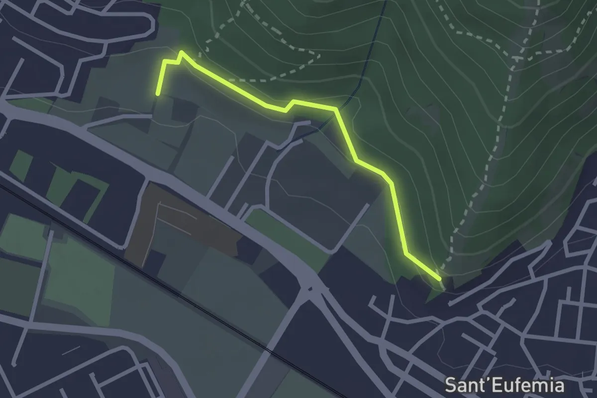
Medium · Trail
Sentiero della Memoria
2.2 km · ↑ 68 m · 39 min · 13 km away
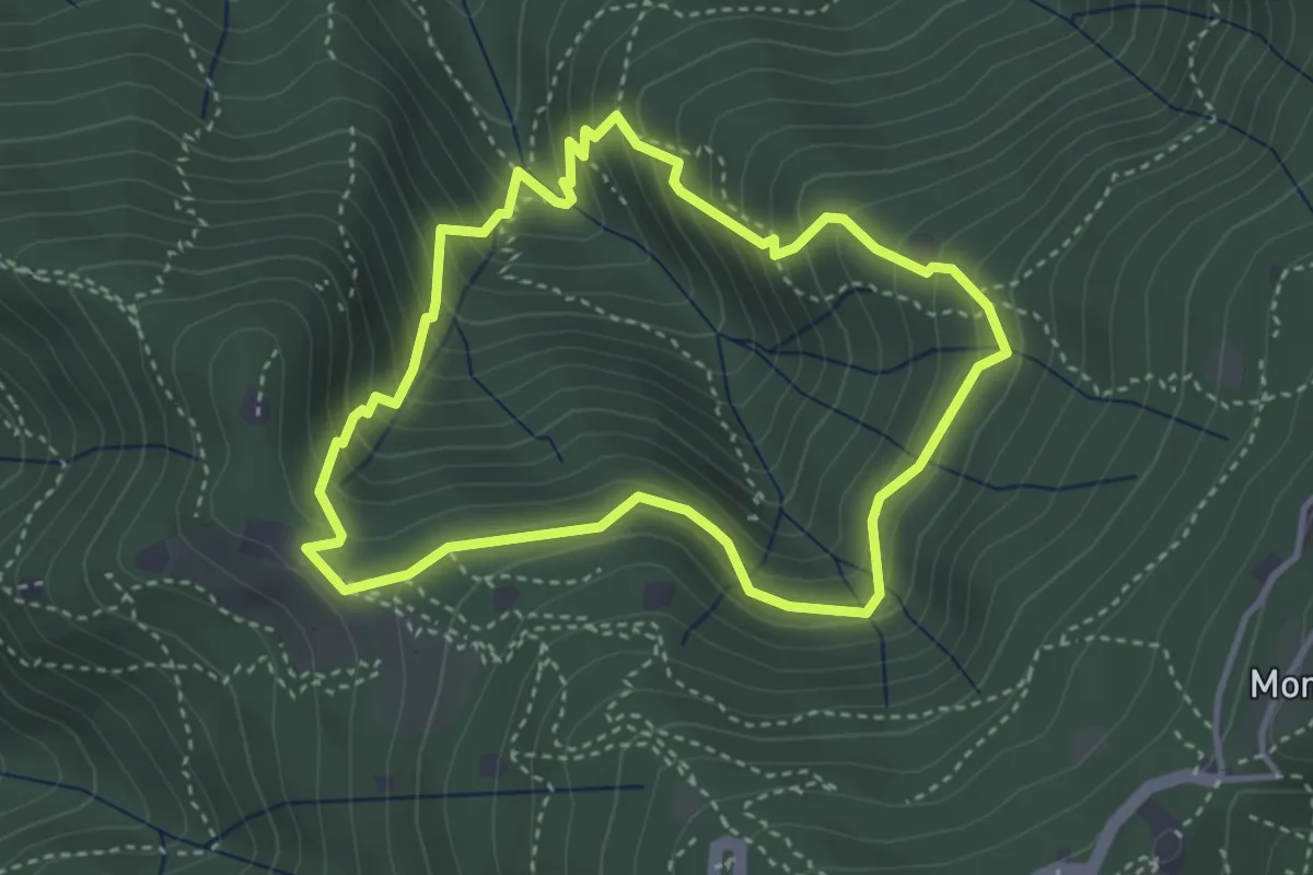
Medium · Cabin
Anello dei Brüsàcc
3.5 km · ↑ 335 m · 1 h 36 min · 13 km away
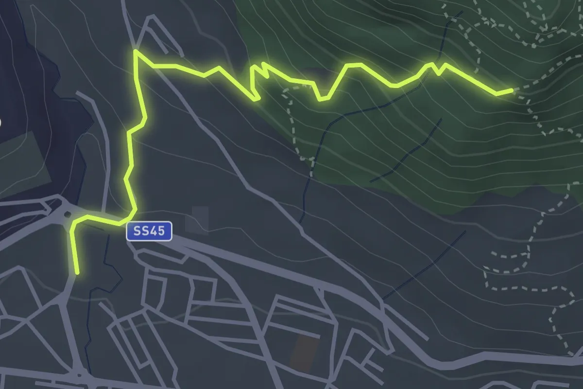
Medium · Trail
Sentiero della Corna
4.0 km · ↑ 303 m · 1 h 36 min · 13 km away
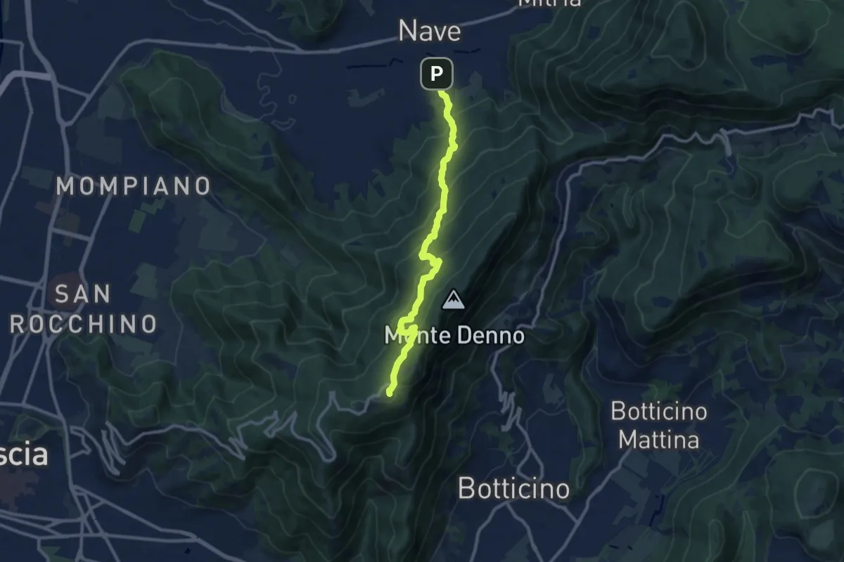
Medium · Trail
Nave (Via Piedimonte) – Chiesetta Monte Maddalena
10.1 km · ↑ 665 m · 3 h 49 min · 13 km away
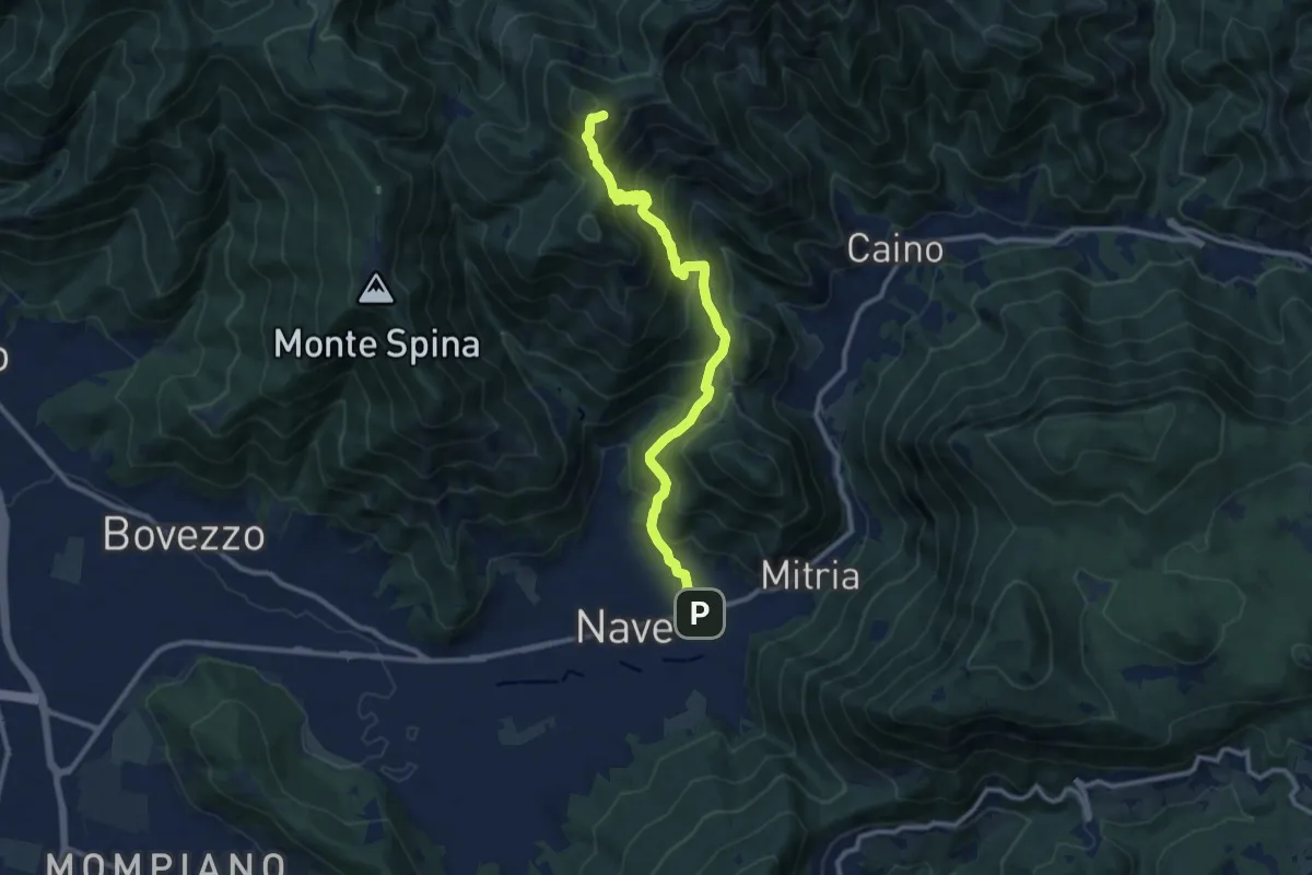
Demanding · Summit
Sentiero 3V - Tappa 1b
11.1 km · ↑ 932 m · 4 h 39 min · 13 km away
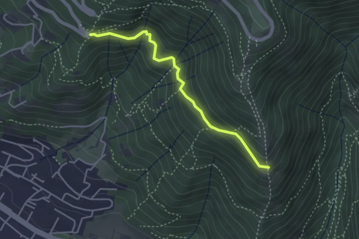
Medium · Trail
Innesto sentiero n. 902 – Innesto sentiero3V n.993
3.2 km · ↑ 233 m · 1 h 16 min · 13 km away
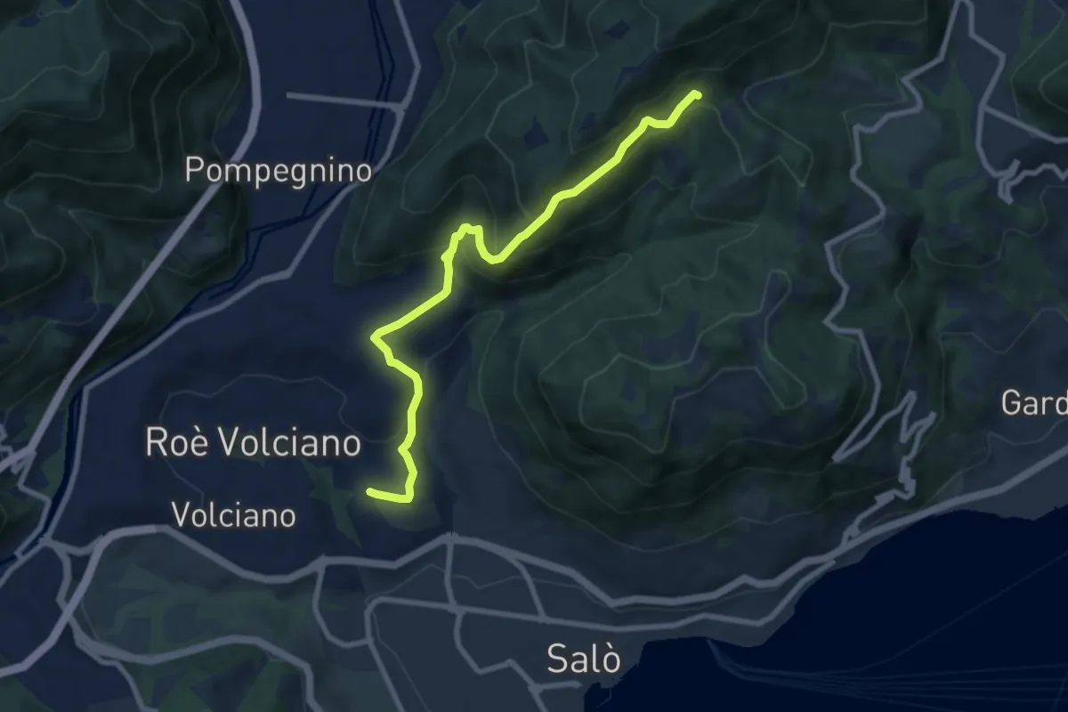
Medium · Trail
Agneto - Bagnolo
8.3 km · ↑ 511 m · 3 h 4 min · 13 km away