Trails near Bedizzole
133 hikes starting within 15 km, nearest first.
Nearest first, page 3 of 3
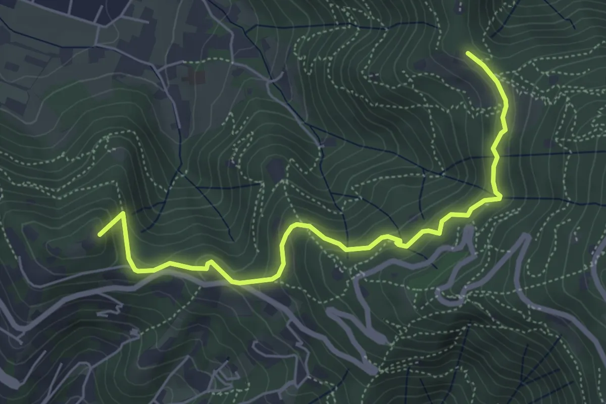
Medium · Summit
Brescia (Via del Goletto) – Cascina Margherita
5.9 km · ↑ 306 m · 2 h 3 min · 13 km away
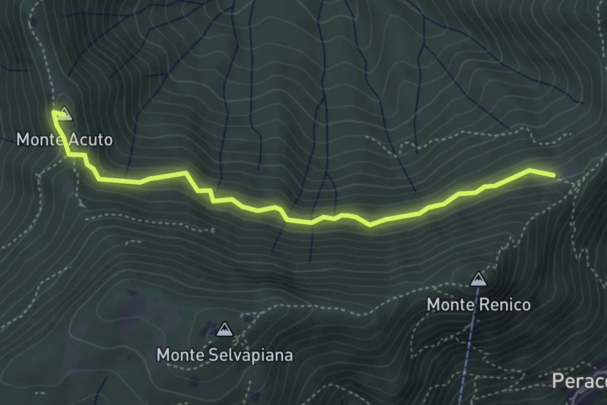
Medium · Summit
Sabbio Chiese (Clibbio) - Cascina Ronchi
4.4 km · ↑ 260 m · 1 h 37 min · 13 km away
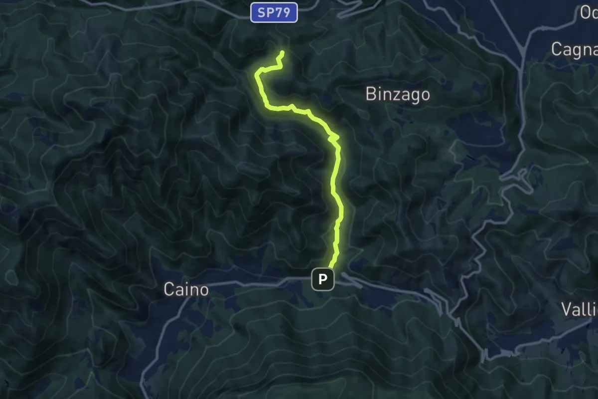
Medium · Trail
Caino (Val Bertone) – Passo Viglio
8.9 km · ↑ 525 m · 3 h 14 min · 13 km away
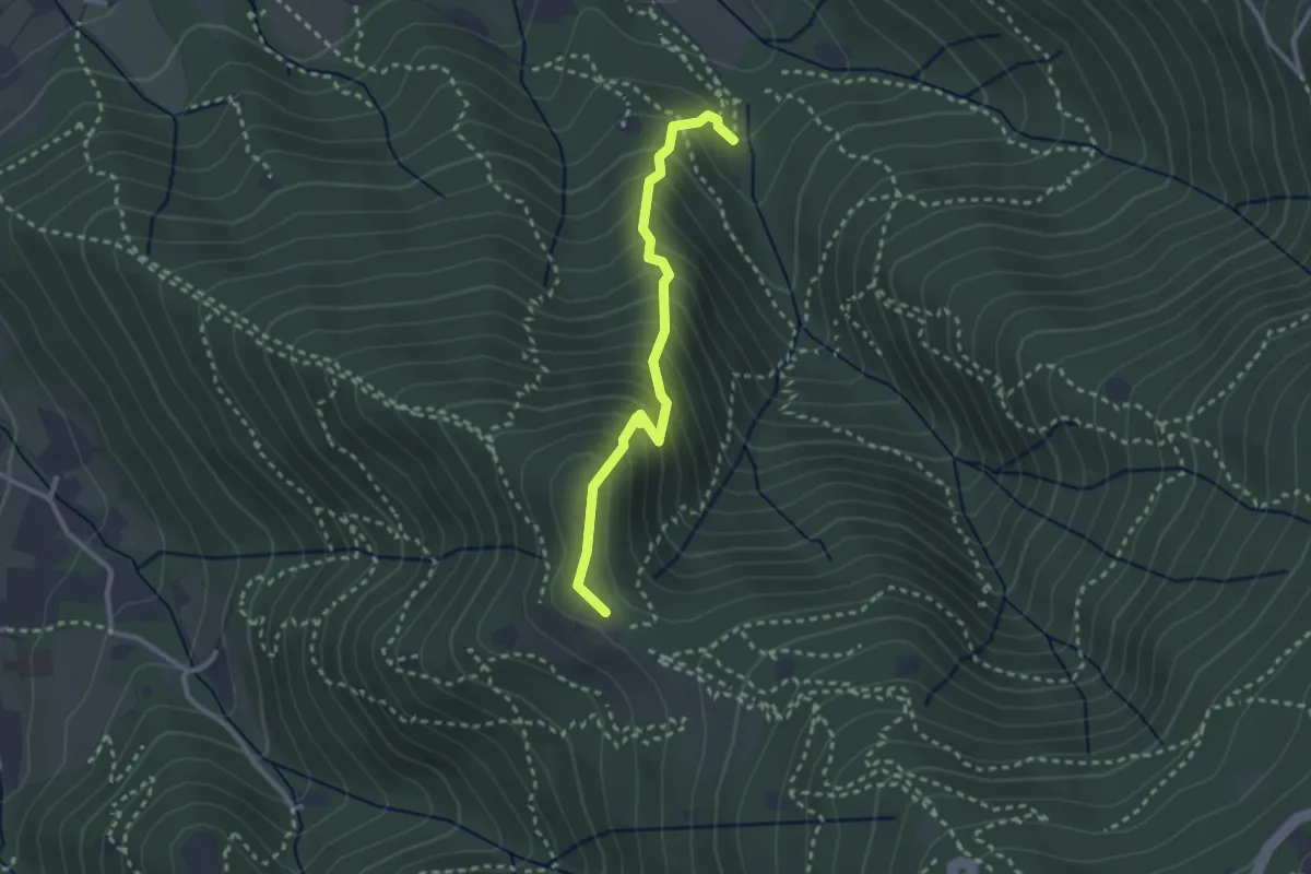
Medium · Trail
Sentiero dei Gnari
2.7 km · ↑ 330 m · 1 h 21 min · 13 km away
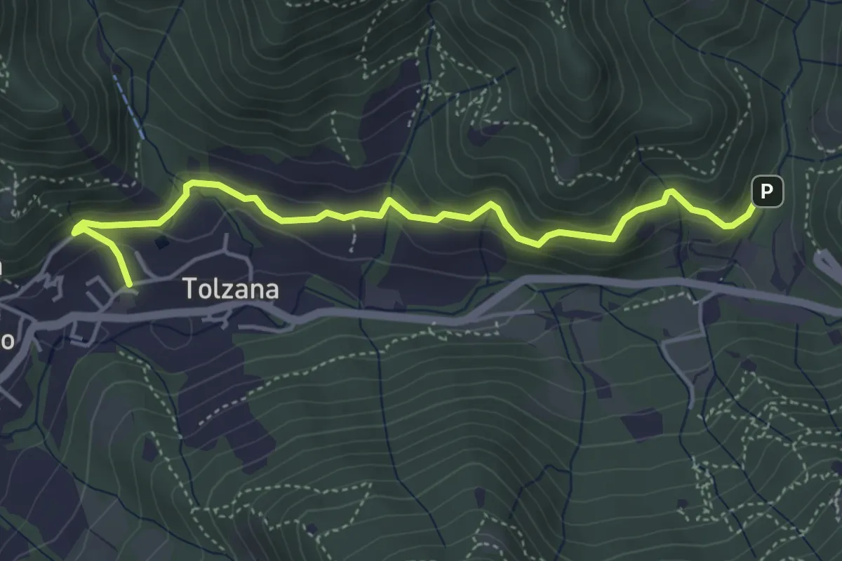
Easy · Trail
Caino – Val Bertone
4.7 km · ↑ 261 m · 1 h 41 min · 13 km away
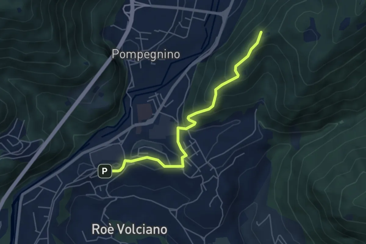
Easy · Summit
Strada delle Guine
5.0 km · ↑ 260 m · 1 h 45 min · 13 km away
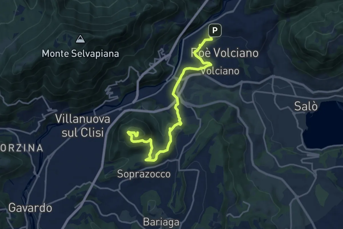
Medium · Summit
Percorso del Monte Covolo
13.1 km · ↑ 516 m · 4 h 13 min · 13 km away
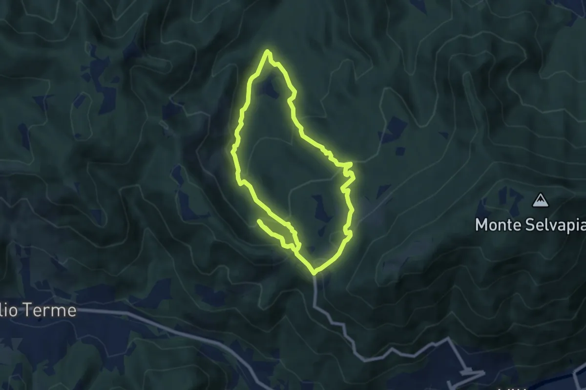
Medium · Trail
Gavardo (Monte Magno) – Monte Magno
6.7 km · ↑ 382 m · 2 h 30 min · 14 km away
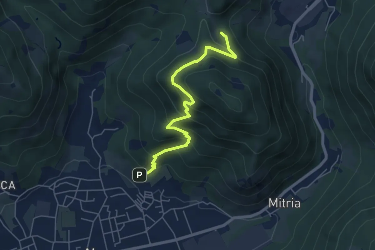
Medium · Trail
Sentiero delle miniere
4.9 km · ↑ 425 m · 2 h 5 min · 14 km away
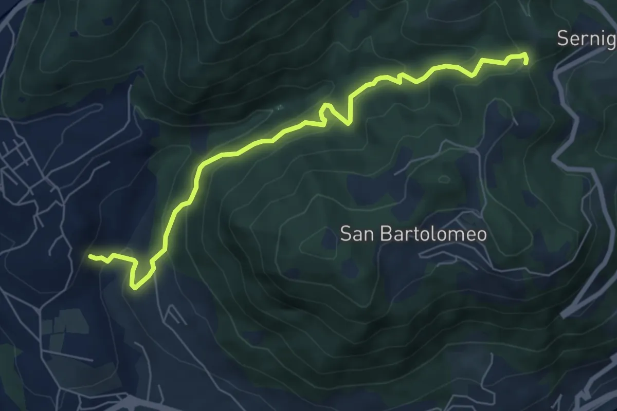
Medium · Trail
Renzano - Passo della Stacca
6.7 km · ↑ 469 m · 2 h 35 min · 14 km away
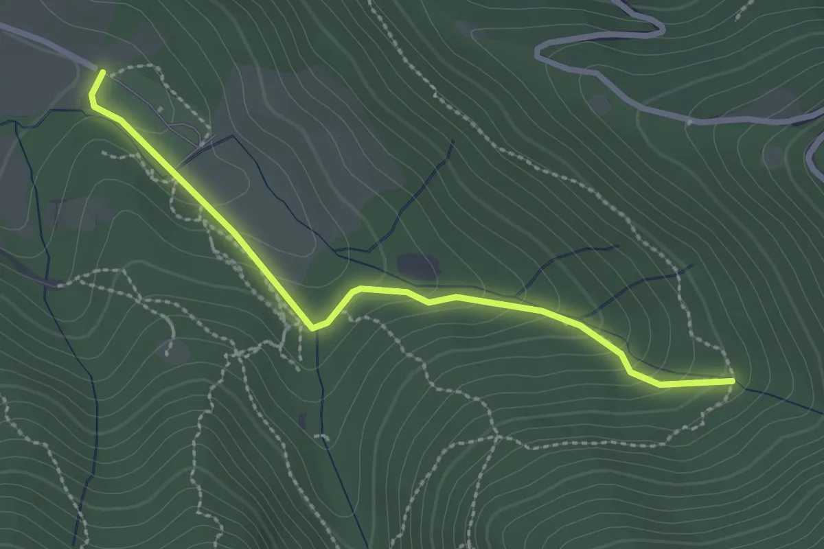
Easy · Trail
Sentiero Val Persane
2.6 km · ↑ 152 m · 57 min · 14 km away
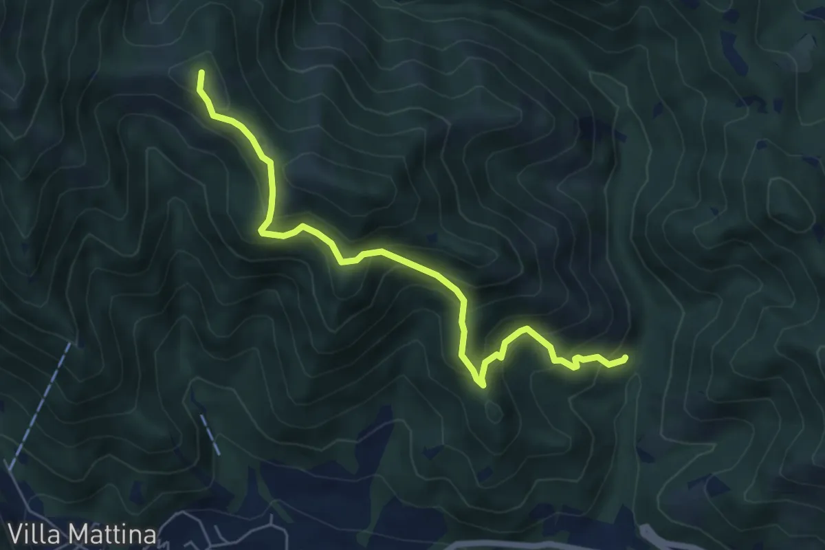
Medium · Summit
Caino (Val Bertone) – Boatica (Innesto Sentiero 381)
6.1 km · ↑ 507 m · 2 h 32 min · 14 km away
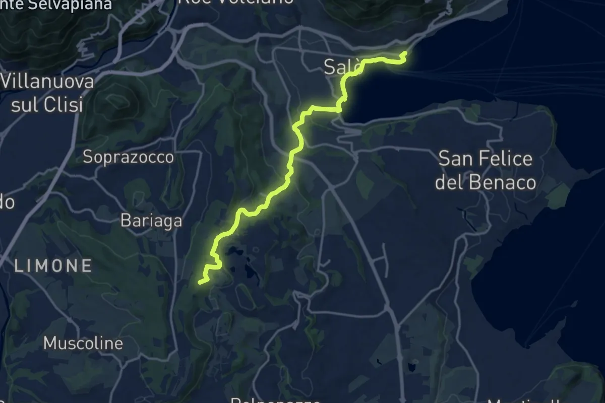
Medium · Summit
BVG Tratto Lago di Lucone, Salò
14.5 km · ↑ 330 m · 4 h 9 min · 14 km away
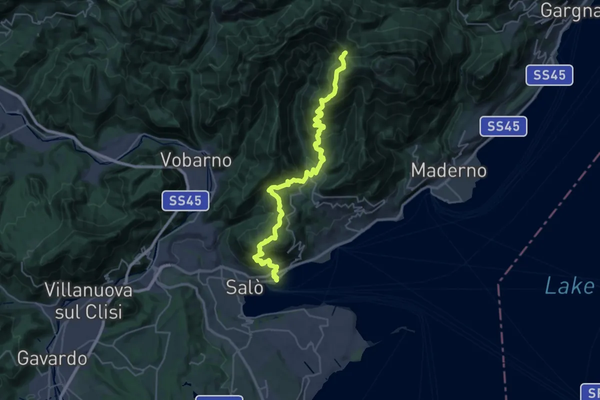
Demanding · Trail
Rifugio G. Pirlo allo Spino - Salò
13.2 km · ↑ 1434 m · 5 h 53 min · 14 km away
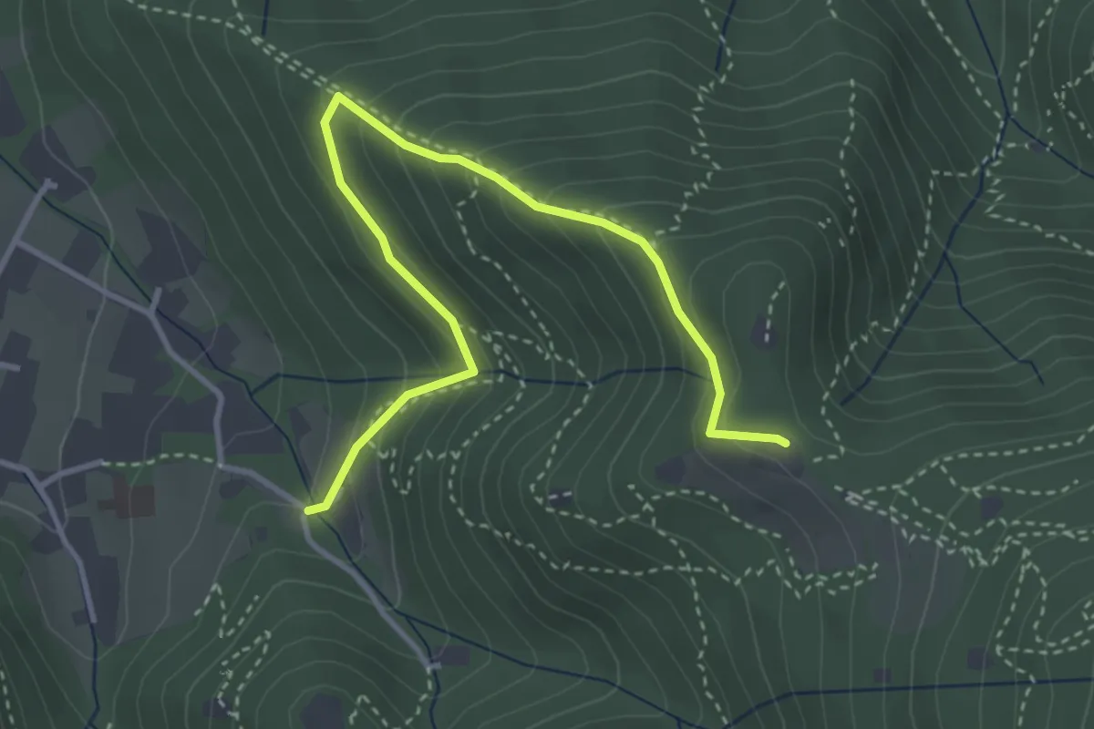
Medium · Trail
Brescia (Costalunga - Via Monte della Valle) – Monte Maddalena (Cascina Margherita - Innesto Sentiero 907)
4.0 km · ↑ 301 m · 1 h 36 min · 14 km away
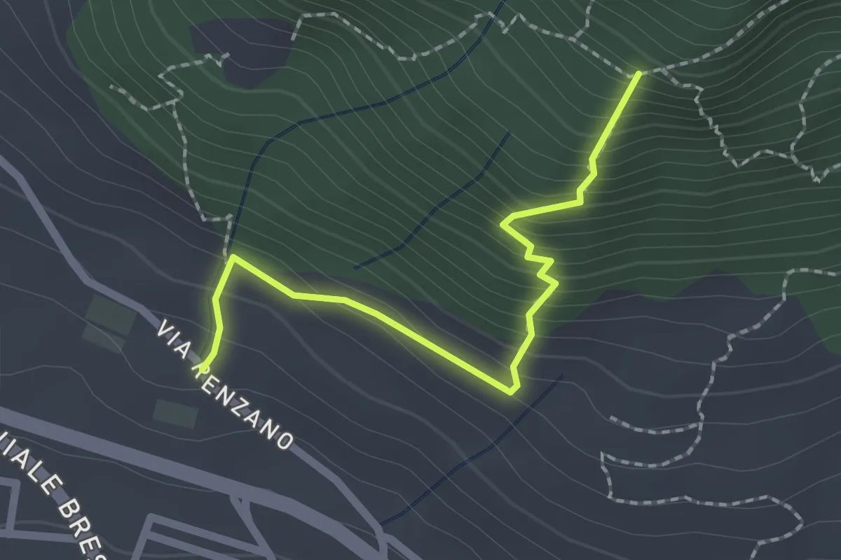
Easy · Trail
Valsiniga - La Corna
2.0 km · ↑ 263 m · 1 h 3 min · 14 km away
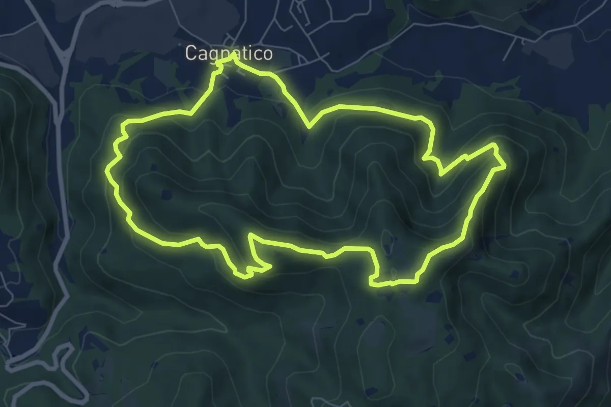
Medium · Summit
Odolo (Cagnatico) – Cagnatico
7.1 km · ↑ 405 m · 2 h 40 min · 14 km away
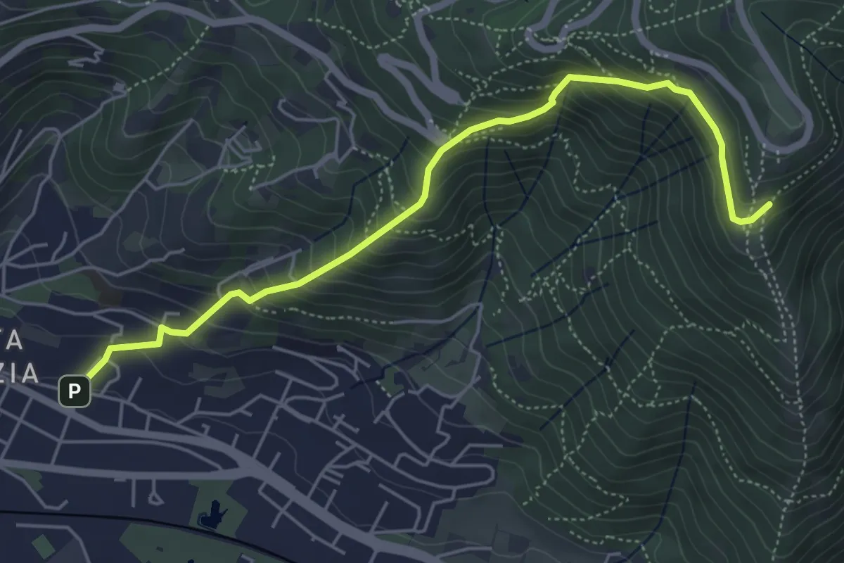
Medium · Trail
Brescia (Via del Canalotto) – Innesto Sentiero 902
5.7 km · ↑ 532 m · 2 h 29 min · 14 km away
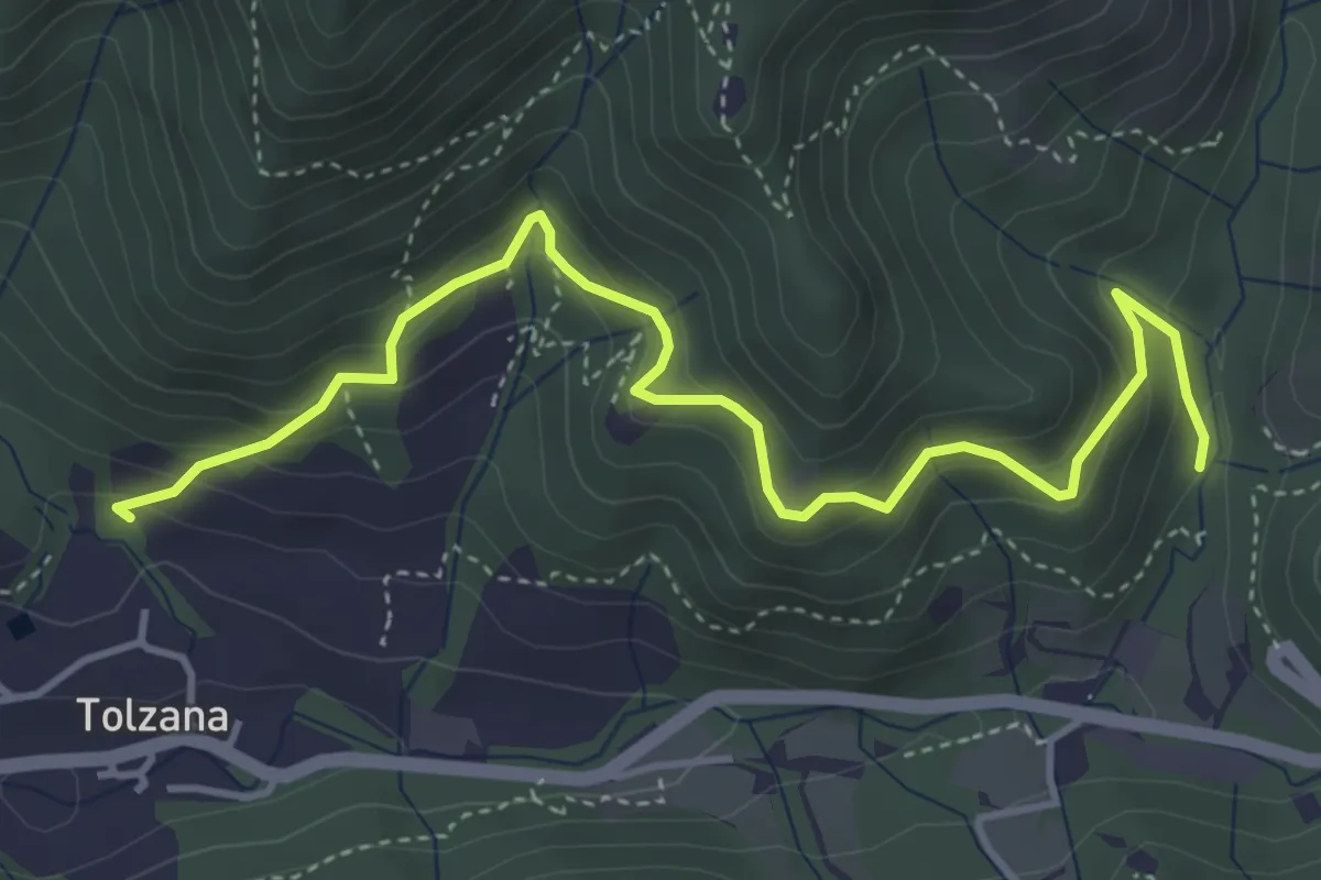
Medium · Trail
Caino (San Cap) – Val Bertone
4.9 km · ↑ 452 m · 2 h 9 min · 14 km away
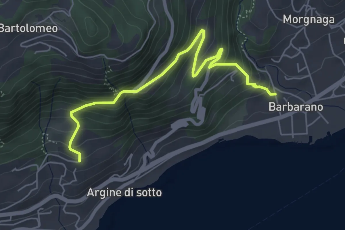
Medium · Trail
Barbarano - Via del Seminario
5.5 km · ↑ 409 m · 2 h 11 min · 14 km away
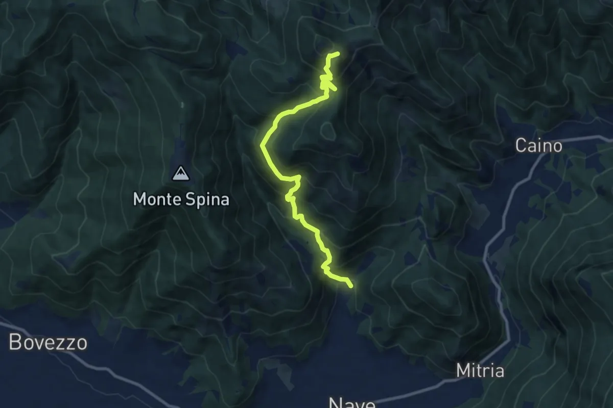
Demanding · Summit
Nave (Piezze) - Santuario di Conche
9.1 km · ↑ 901 m · 4 h 6 min · 14 km away
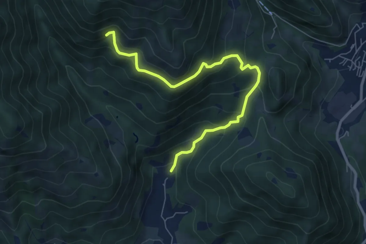
Medium · Trail
Nave (Piezze) - Sant'Antonio - Innesto Sentiero 354
6.7 km · ↑ 527 m · 2 h 44 min · 14 km away
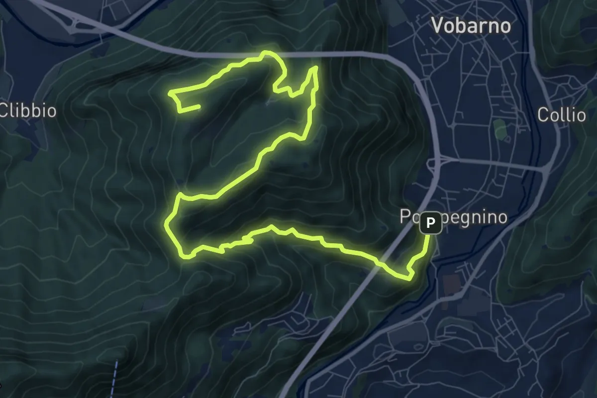
Demanding · Summit
Vobarno (Via Penella) - Passo della Fobbia - Pompegnino
13.8 km · ↑ 954 m · 5 h 19 min · 14 km away
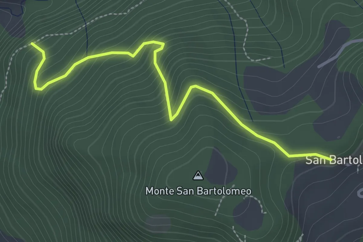
Medium · Trail
Sentiero della Strinada
3.1 km · ↑ 289 m · 1 h 22 min · 15 km away
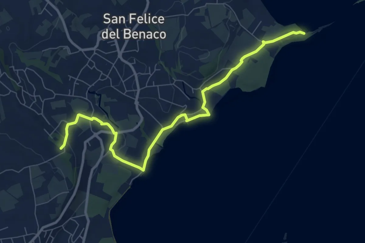
Medium · Summit
San Fermo - Monte Forca
8.5 km · ↑ 171 m · 2 h 23 min · 15 km away
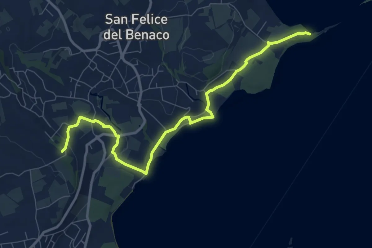
Medium · Summit
2 San Felice del Benaco
8.5 km · ↑ 171 m · 2 h 23 min · 15 km away
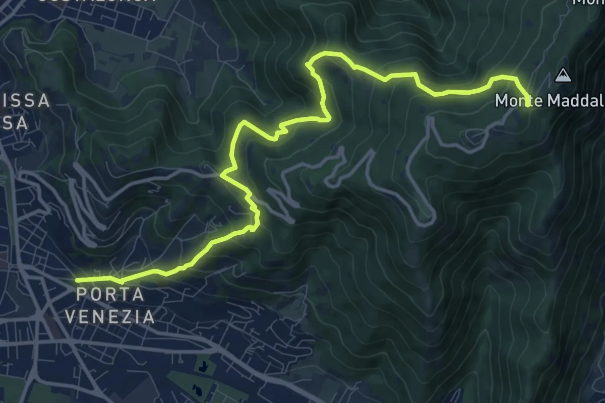
Demanding · Trail
Brescia (Via Amba d'Oro) – Monte Maddalena (Piazzale Ristorante Grillo)
12.1 km · ↑ 852 m · 4 h 42 min · 15 km away
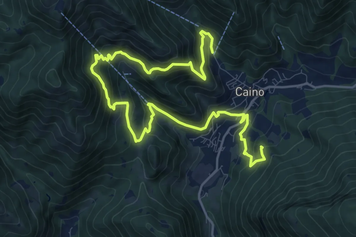
Demanding · Summit
Caino (Pian delle Castagne) – Val Bertone
15.5 km · ↑ 1050 m · 5 h 56 min · 15 km away
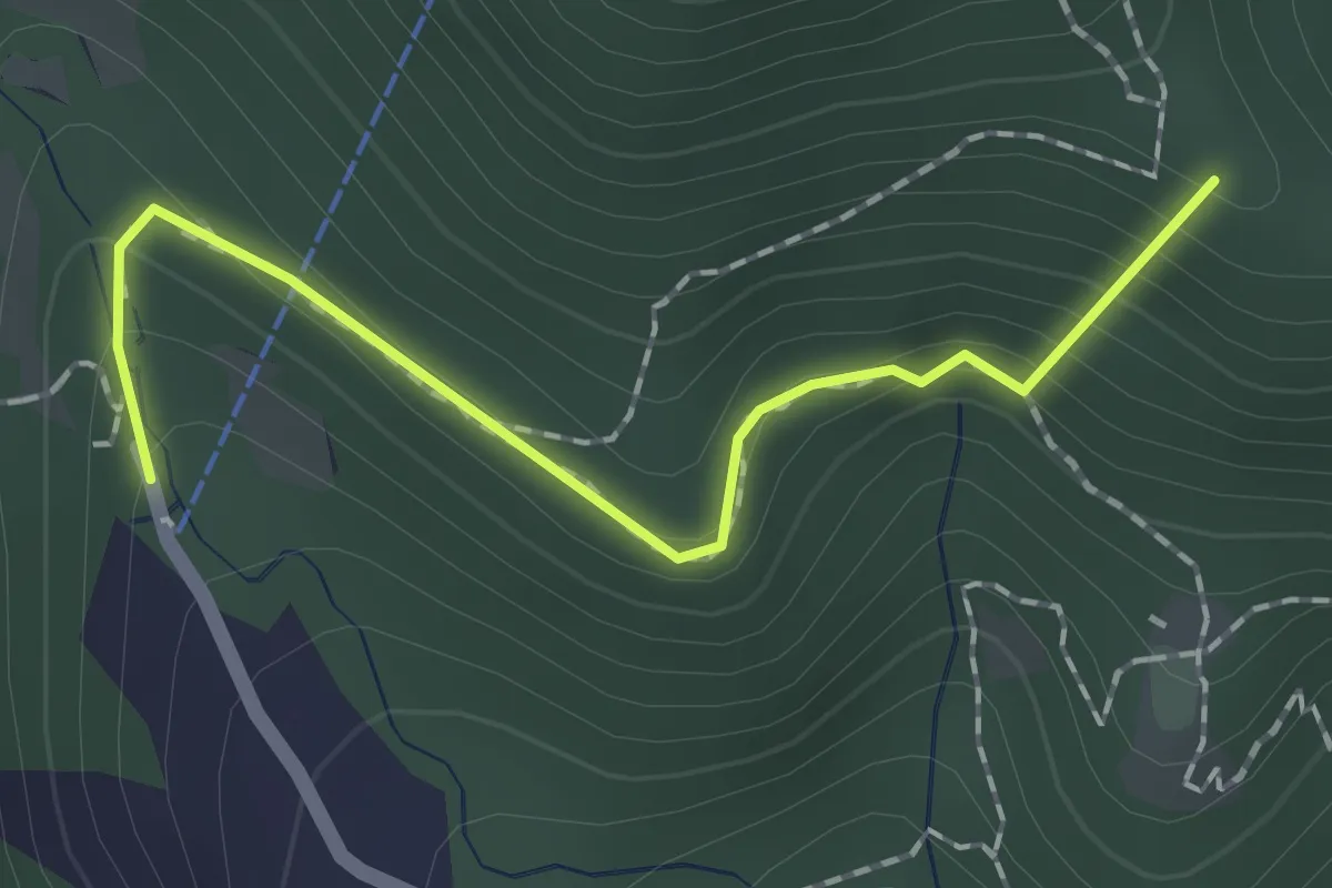
Easy · Summit
Sentiero dei Papi
1.7 km · ↑ 130 m · 42 min · 15 km away
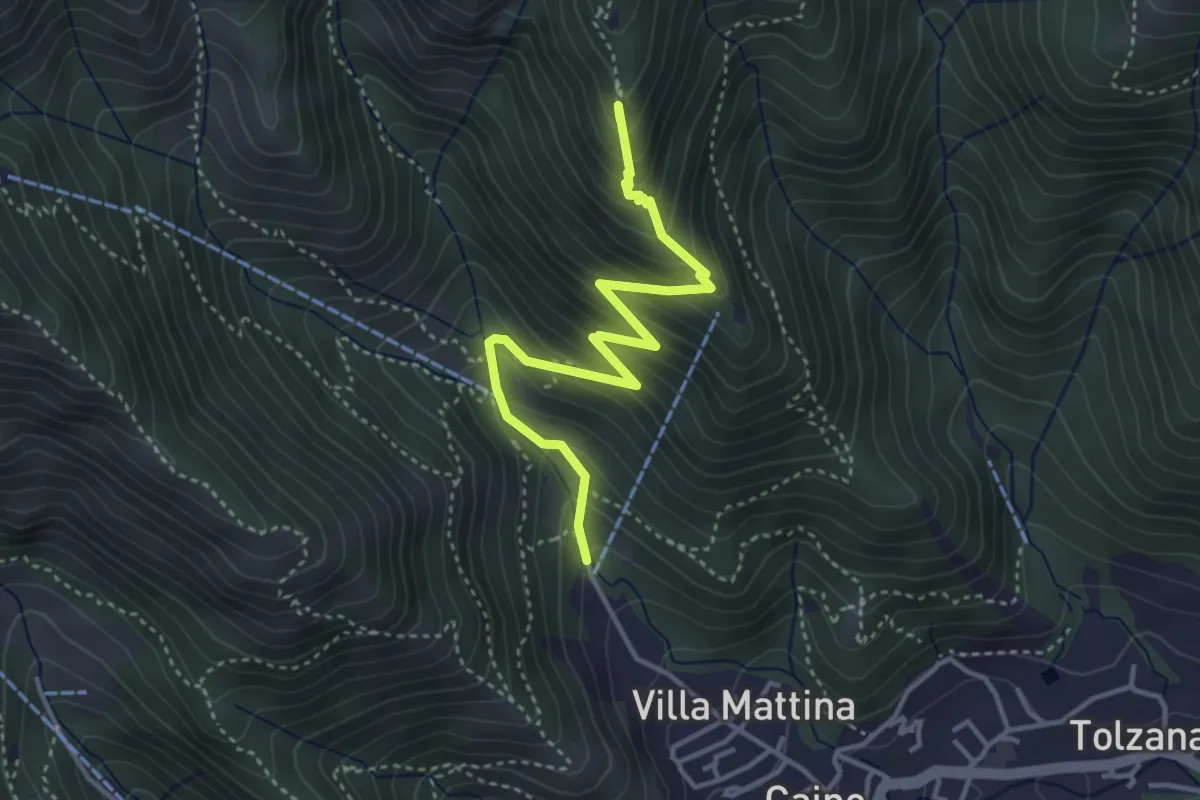
Medium · Summit
Caino (Pian delle Castagne) – Monte Doppo (Innesto Sentiero 381)
4.1 km · ↑ 407 m · 1 h 50 min · 15 km away
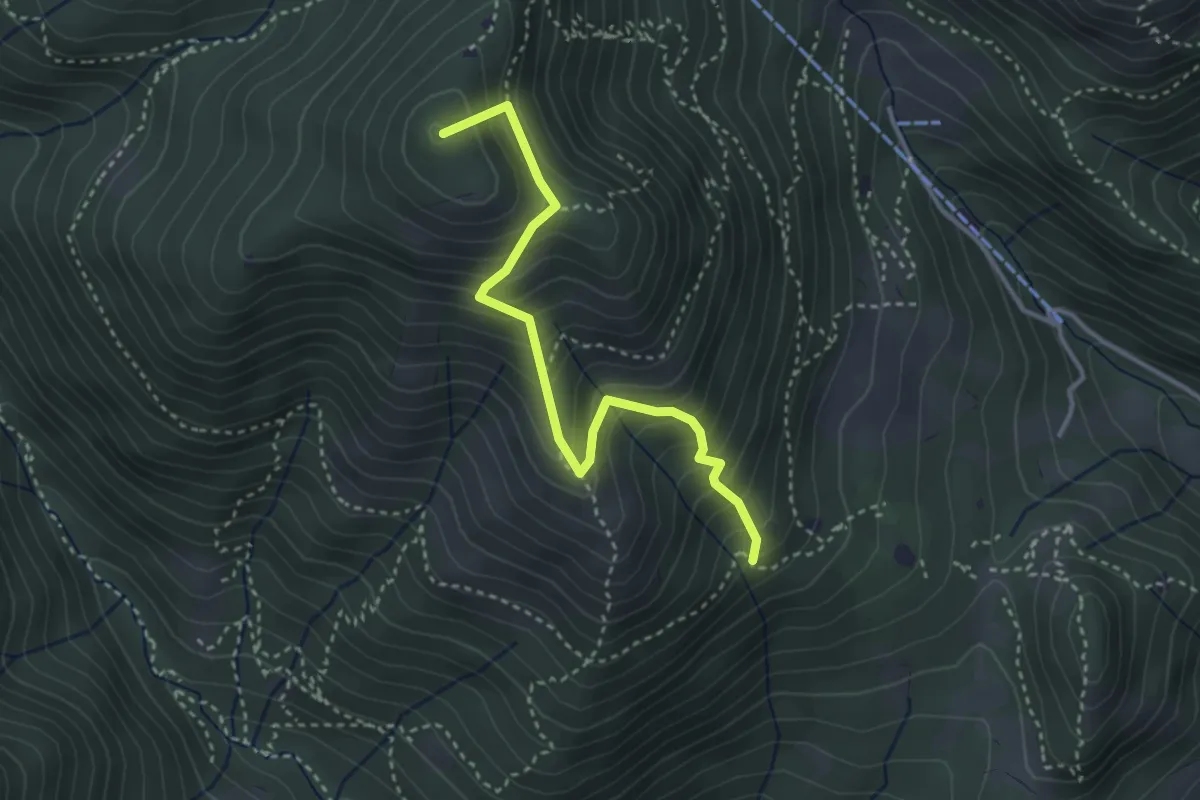
Medium · Summit
Sentiero Nunzio Tocchini
3.4 km · ↑ 371 m · 1 h 36 min · 15 km away
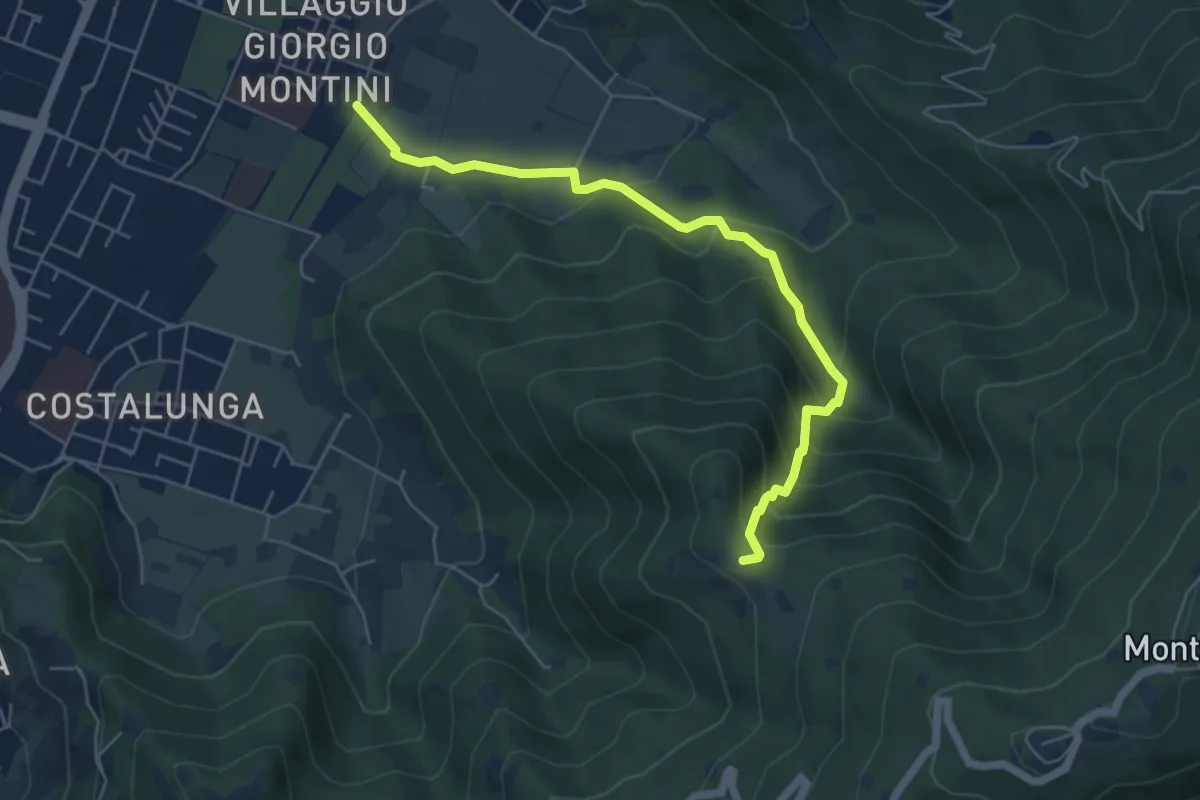
Medium · Trail
Brescia (Mompiano - Via Egidio Dabbeni) – Cascina Margherita
5.8 km · ↑ 398 m · 2 h 14 min · 15 km away
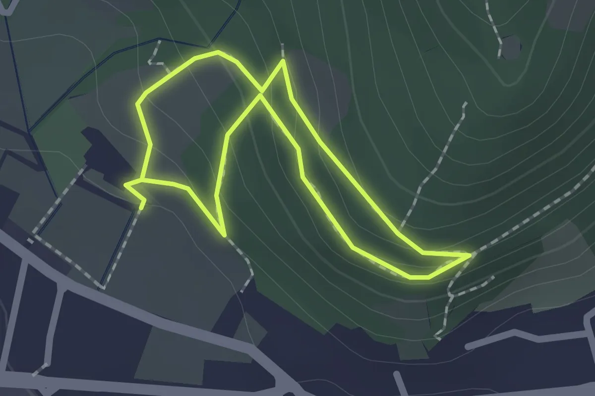
Easy · Trail
Sentiero Zanardelli percorso alto
1.5 km · ↑ 68 m · 32 min · 15 km away
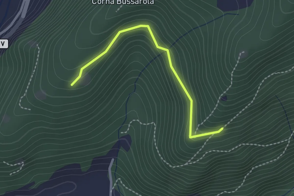
Easy · Trail
Strada degli Spinadei
2.1 km · ↑ 126 m · 46 min · 15 km away
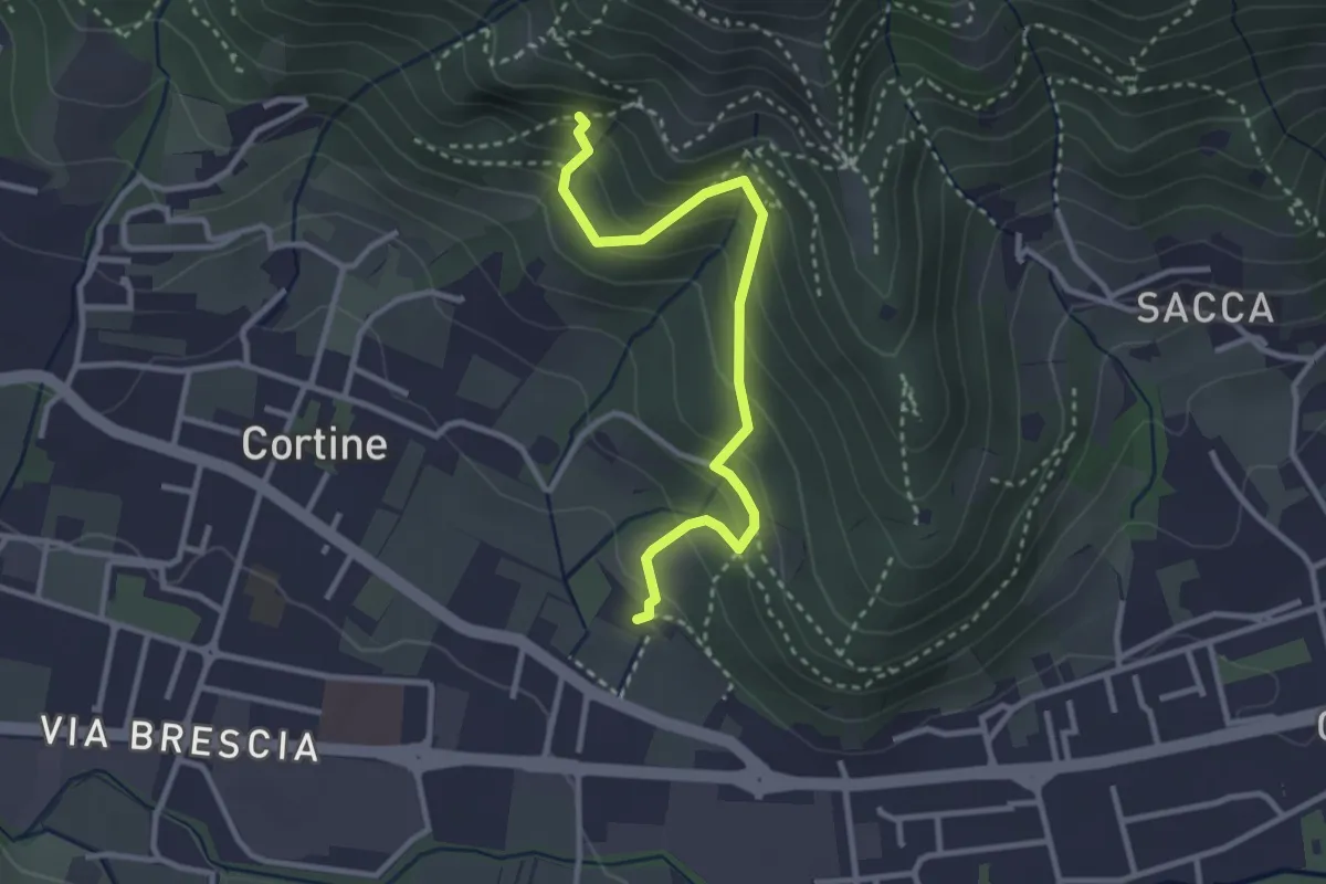
Easy · Trail
Sentiero del Marrone (Variante Nave)
3.1 km · ↑ 314 m · 1 h 25 min · 15 km away
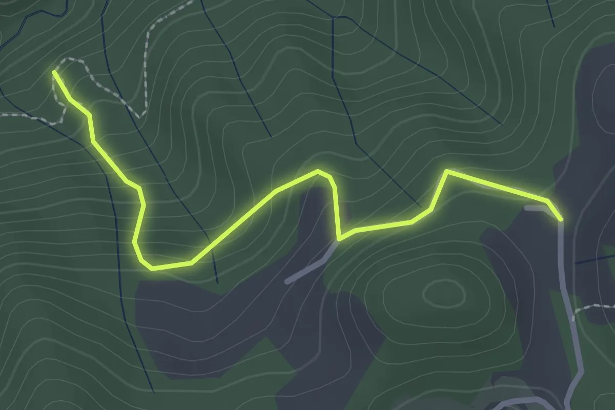
Easy · Trail
Sentiero di Costa Lunga
2.5 km · ↑ 235 m · 1 h 5 min · 15 km away
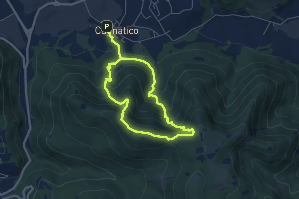
Medium · Summit
Odolo (Cagnatico) – Cagnatico
3.9 km · ↑ 360 m · 1 h 44 min · 15 km away