Trails near Belluno
73 hikes starting within 15 km, nearest first.
Nearest first, page 1 of 2
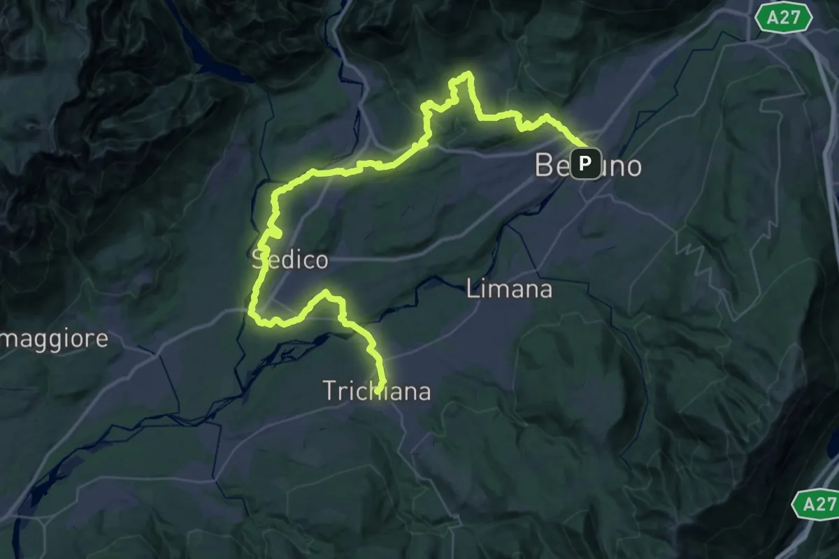
Demanding · Pilgrim path
Cammino delle Dolomiti - Tappa 29
29.5 km · ↑ 476 m · 8 h 26 min · under 1 km away
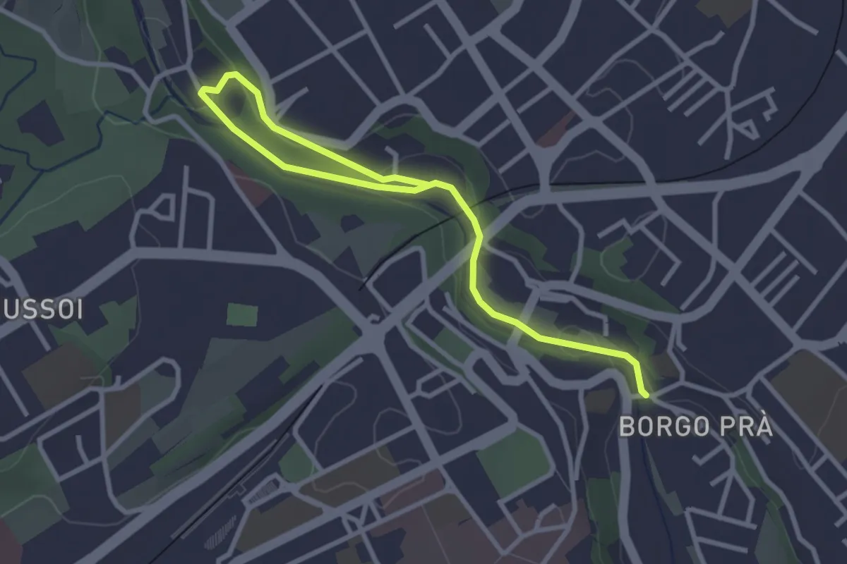
Easy · Trail
Sentiero dell'Ardo
3.7 km · ↑ 74 m · 1 h 2 min · 1 km away
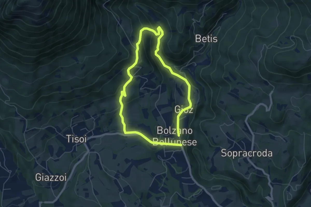
Easy · Trail
La Velenosetta
5.0 km · ↑ 235 m · 1 h 45 min · 4 km away
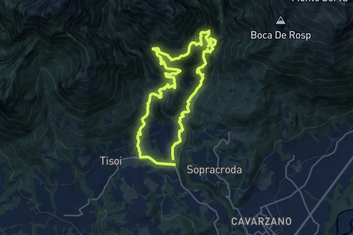
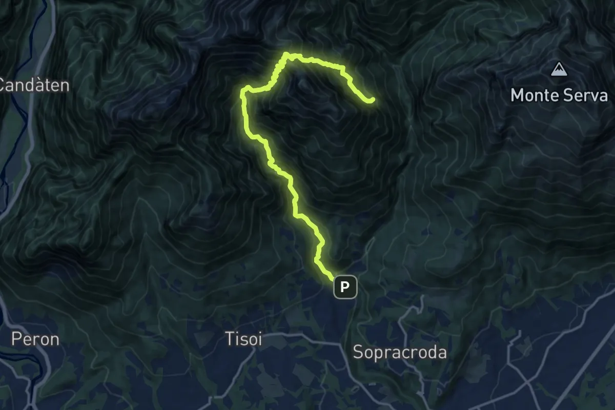
Demanding · Summit
La Velenosa
12.7 km · ↑ 1128 m · 5 h 37 min · 4 km away
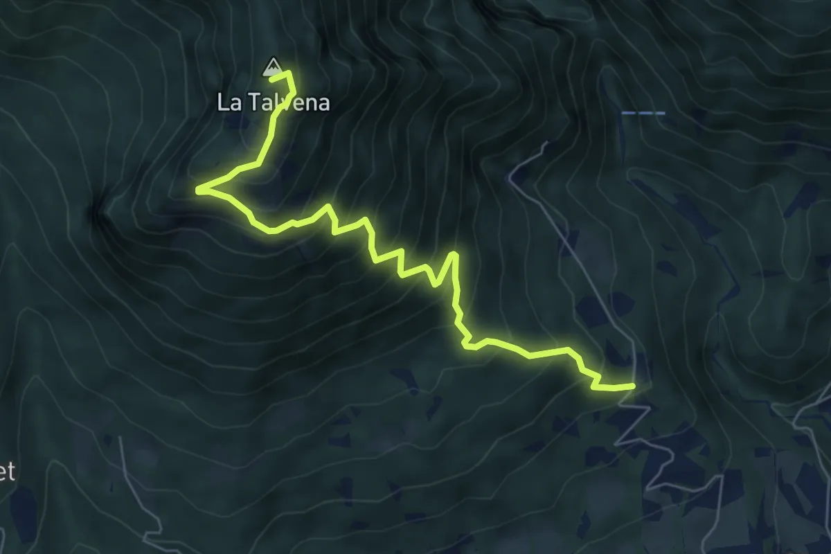
Demanding · Summit
Bolzano B. Goiz/Colover – dopo Case Bortot-Maone - innesto sentiero 501
14.9 km · ↑ 1887 m · 7 h 36 min · 4 km away
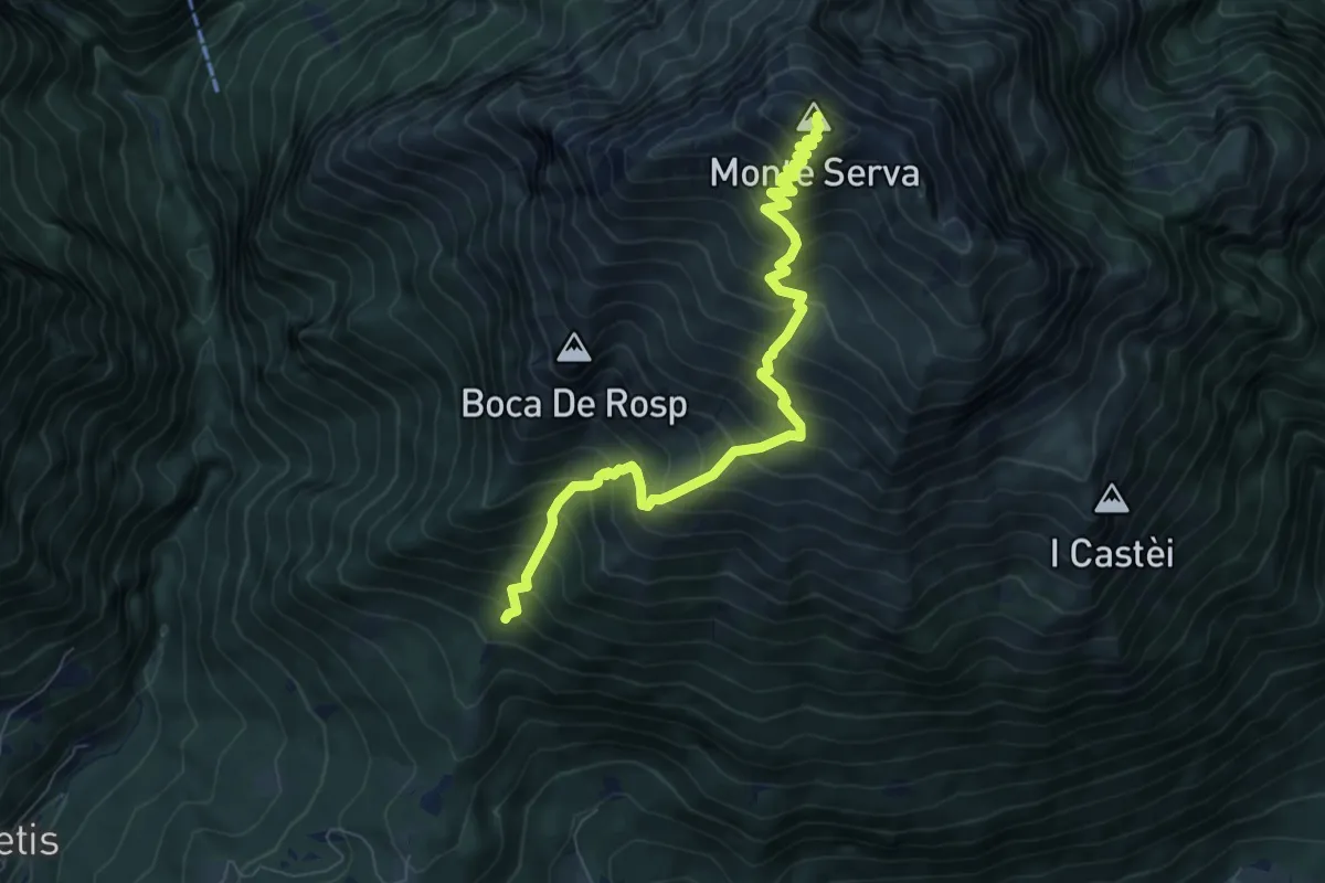
Demanding · Summit
Pascoli - Case Tovena – Pian de Regnac - inn. sent. 510
6.8 km · ↑ 788 m · 3 h 19 min · 5 km away
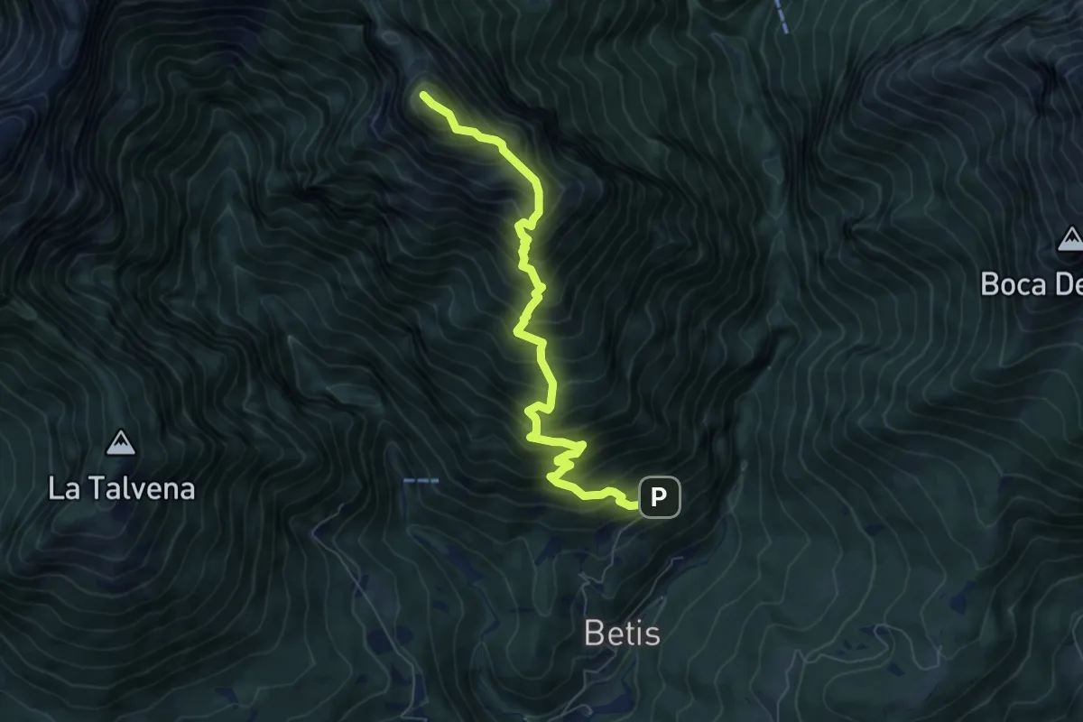
Demanding · Summit
Col di Roanza - Cargador – Monte Serva
7.7 km · ↑ 1054 m · 4 h 7 min · 5 km away
Demanding · Summit
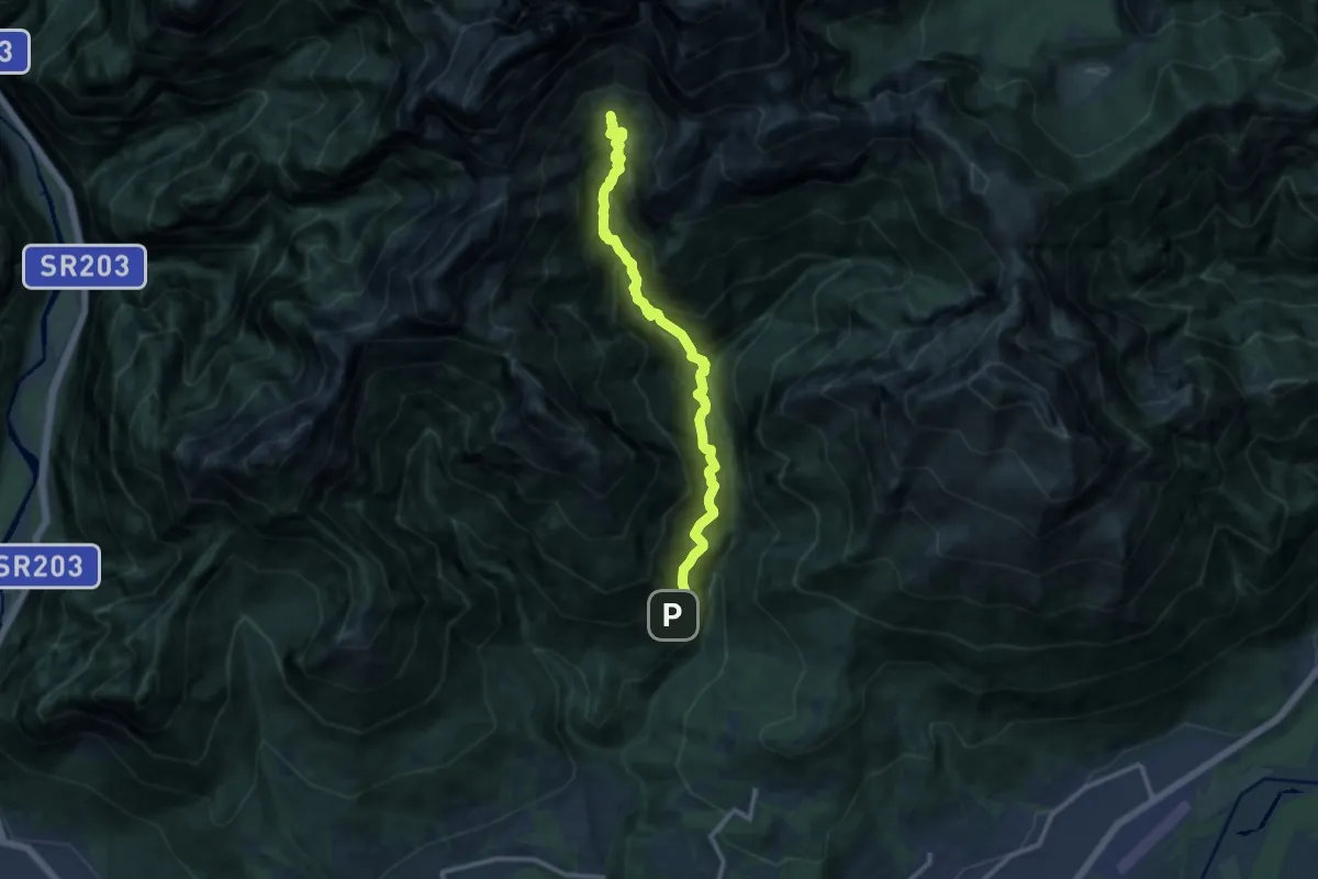
Bolzano B. - Case Bortot – Monte terne o Zimon di Terne
7.3 km · ↑ 1095 m · 4 h 5 min · 5 km away
Demanding · Cabin
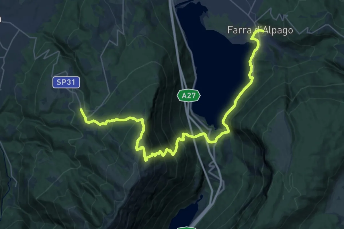
Bolzano B. - Case Bortot – Rifugio VII° Alpini - Pis Pilon
11.6 km · ↑ 1645 m · 6 h 18 min · 5 km away
Medium · Pilgrim path
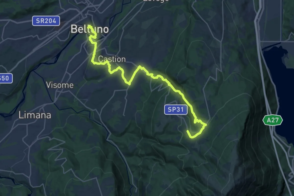
Cammino delle Dolomiti - Tappa 27
14.1 km · ↑ 581 m · 5 h 5 min · 6 km away
Medium · Pilgrim path
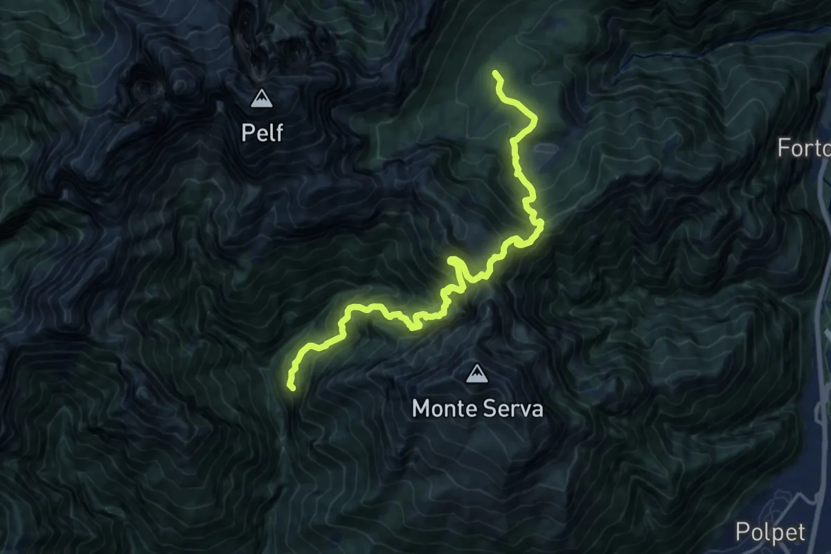
Cammino delle Dolomiti - Tappa 28
12.4 km · ↑ 196 m · 3 h 50 min · 6 km away
Demanding · Summit
Pian de Caiada - da percorso 505 – sopra P. Mariano (ultimo tornante) - da percorso 519
16.8 km · ↑ 1655 m · 7 h 33 min · 7 km away
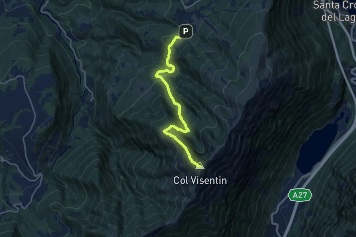
Demanding · Summit
Villaggio Olimpo – Col Visentin
11.8 km · ↑ 931 m · 4 h 48 min · 7 km away
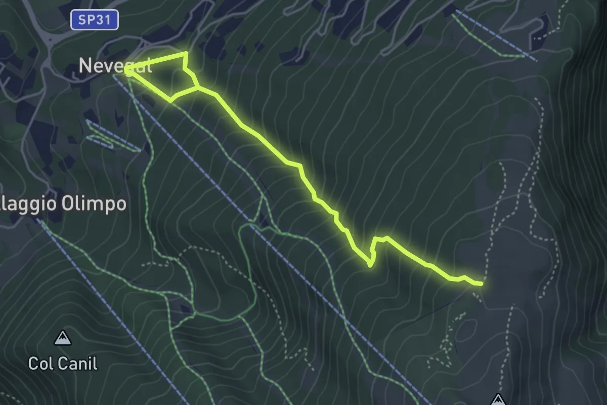
Medium · Trail
2004
5.0 km · ↑ 538 m · 2 h 21 min · 7 km away
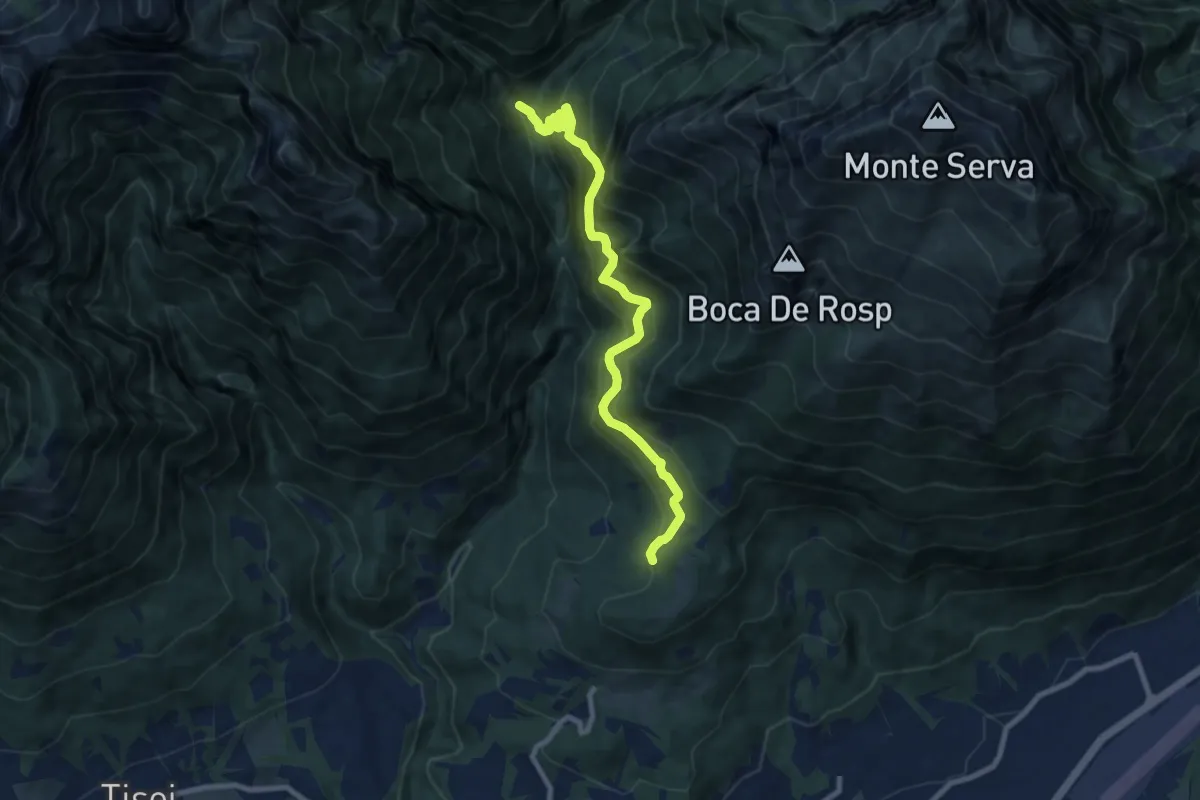
Demanding · Trail
nei pressi Col Roanza – Ponte Mariano - innesto sentiero 501
9.0 km · ↑ 977 m · 4 h 15 min · 7 km away
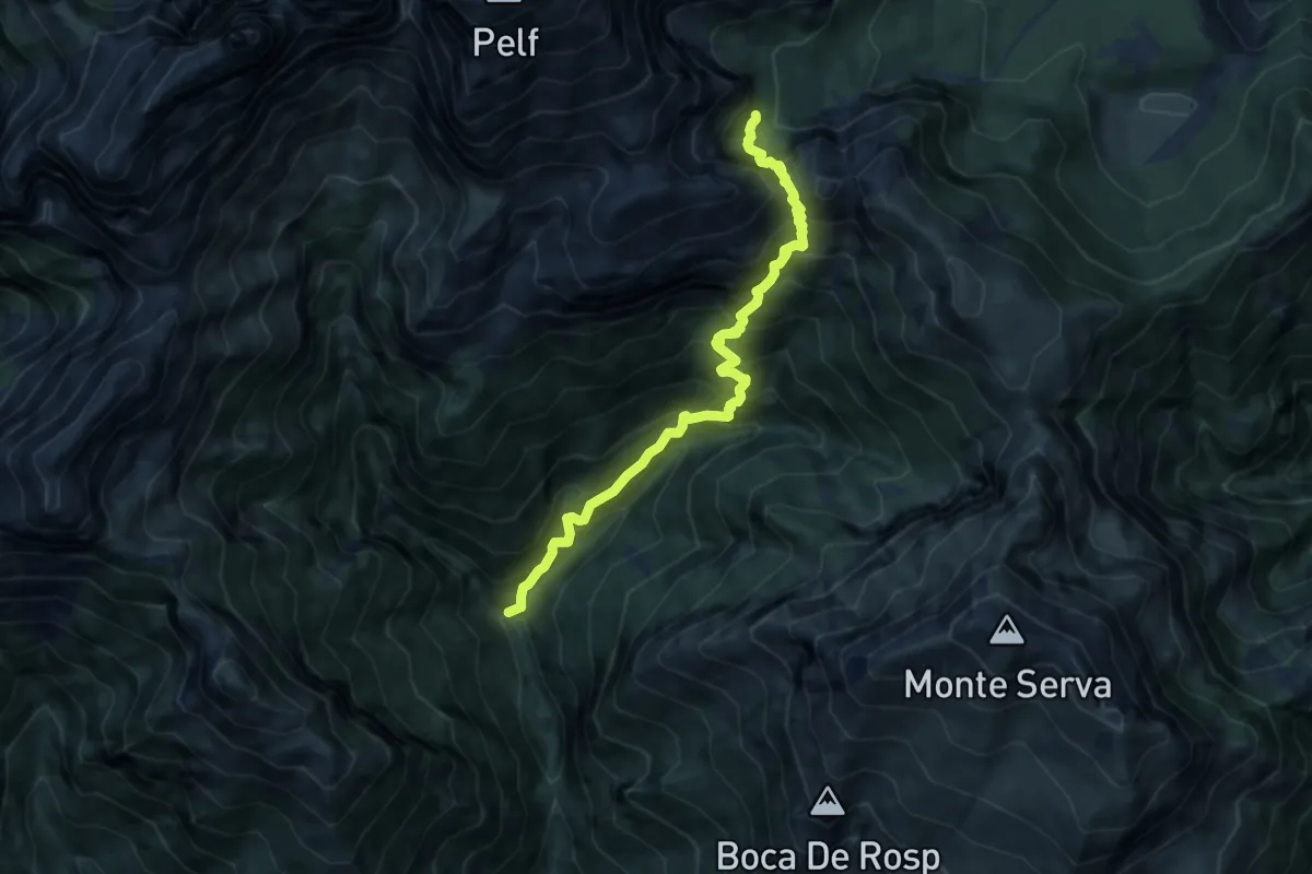
Demanding · Trail
Caiada/Canevon - da sent. 505 – Ponte del Mariano
8.4 km · ↑ 1253 m · 4 h 42 min · 7 km away
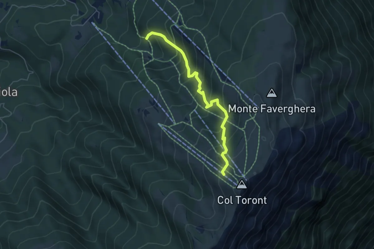
Medium · Cabin
2005
4.9 km · ↑ 446 m · 2 h 7 min · 8 km away
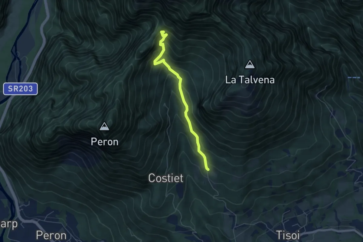
Medium · Trail
Casera Zoppa – Forcella San Giorgio
5.1 km · ↑ 432 m · 2 h 8 min · 8 km away
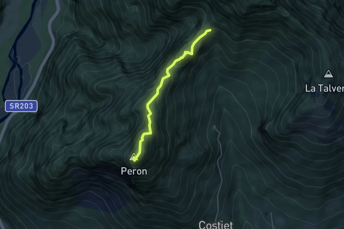
Demanding · Summit
Forcella San Giorgio – Monte Peron
3.7 km · ↑ 354 m · 1 h 39 min · 8 km away
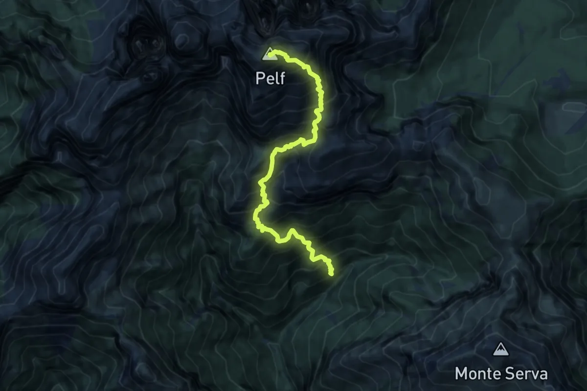
Demanding · Summit
Val Rui Fret - inn. sent. 507 – Monte Pelf
9.5 km · ↑ 1677 m · 5 h 52 min · 8 km away
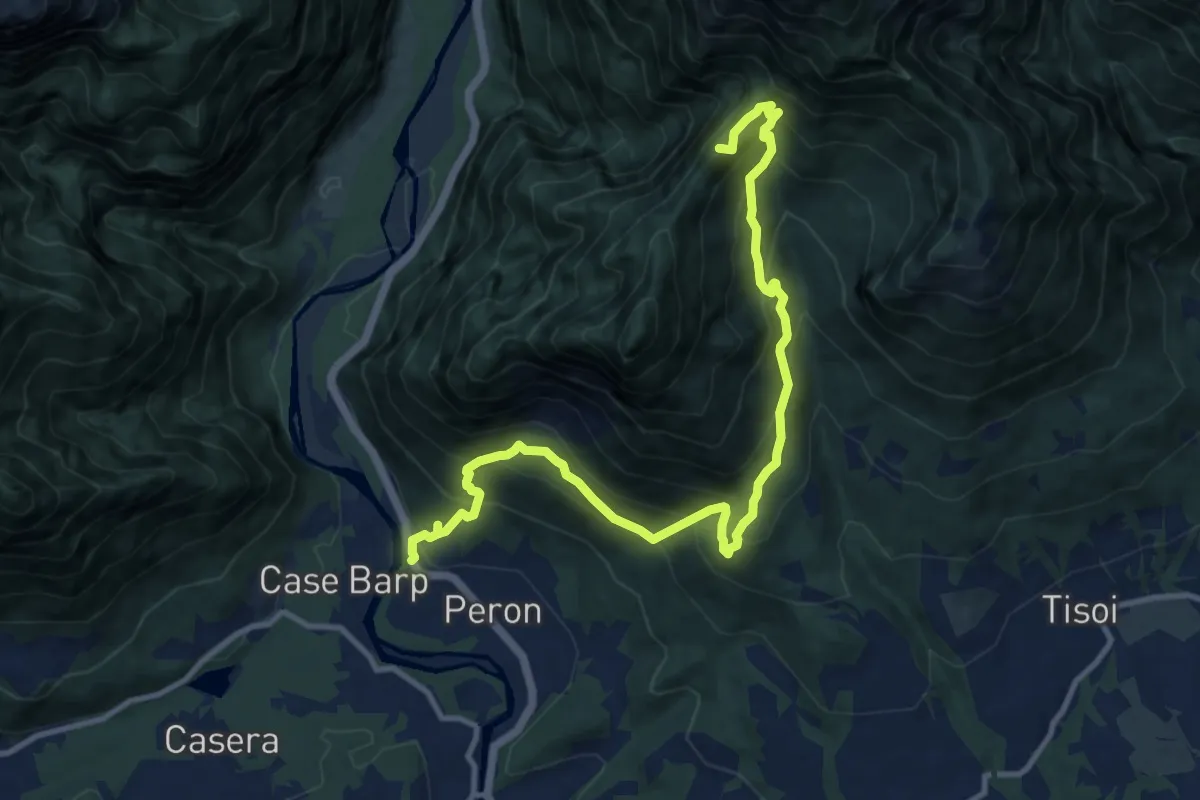
Demanding · Summit
Sentiero tematico delle chiesette pedemontane
12.8 km · ↑ 1120 m · 5 h 27 min · 8 km away
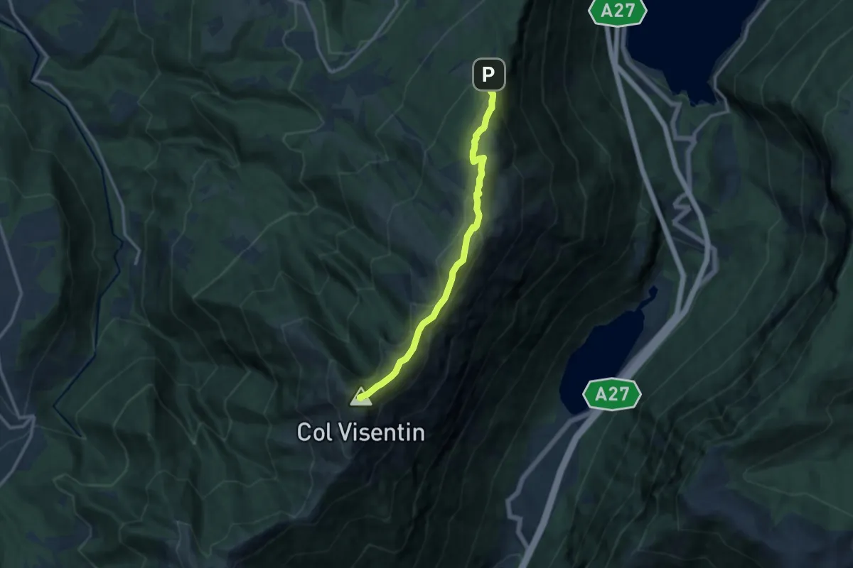
Medium · Summit
2000creste
10.2 km · ↑ 515 m · 3 h 31 min · 8 km away
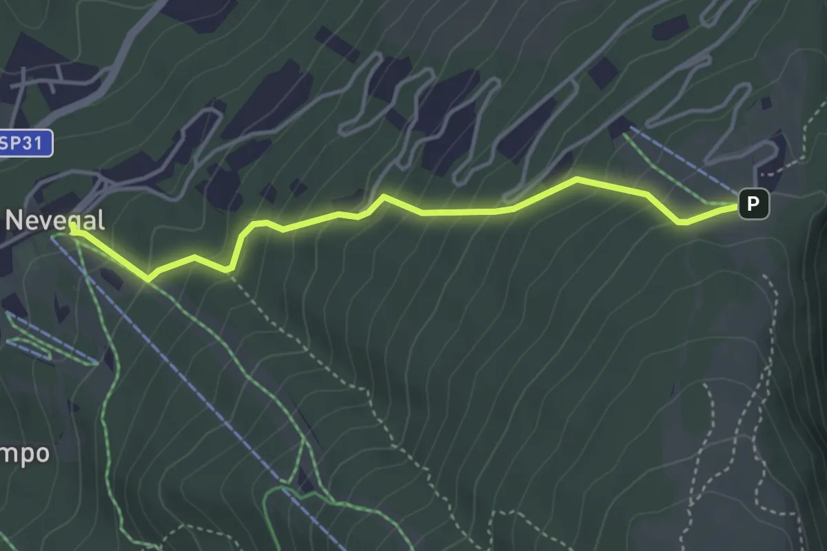
Medium · Trail
2003
3.8 km · ↑ 340 m · 1 h 39 min · 8 km away
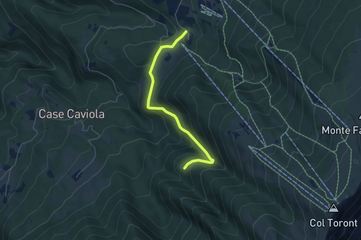
Easy · Trail
Villaggio Olimpo – Costa Degner
4.6 km · ↑ 249 m · 1 h 38 min · 8 km away
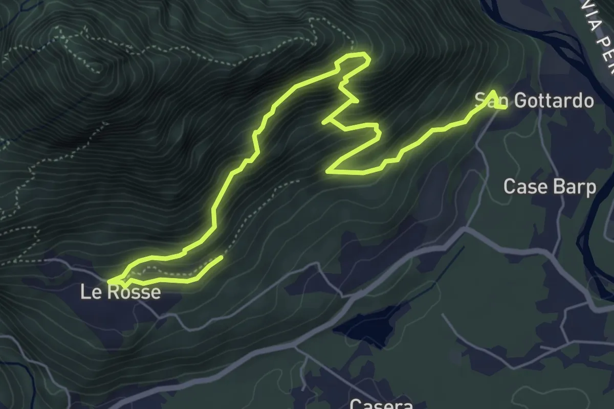
Medium · Trail
Sentiero Olivo Troian
7.9 km · ↑ 727 m · 3 h 26 min · 9 km away
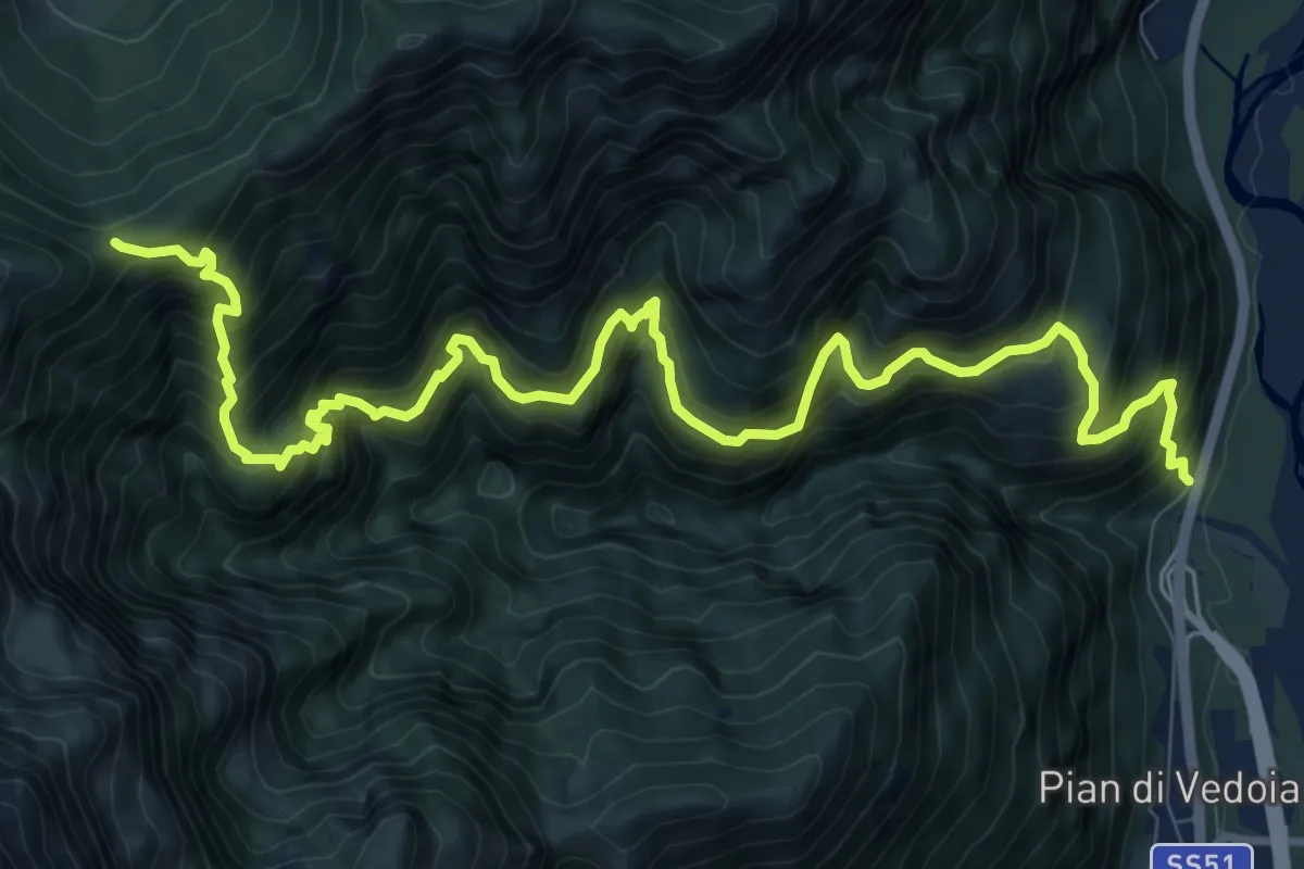
Demanding · Trail
P.te del Bus-da S.S. 51 o Ponte La Pissa-Fortogna – Forcella Palughet
12.8 km · ↑ 1763 m · 6 h 51 min · 9 km away
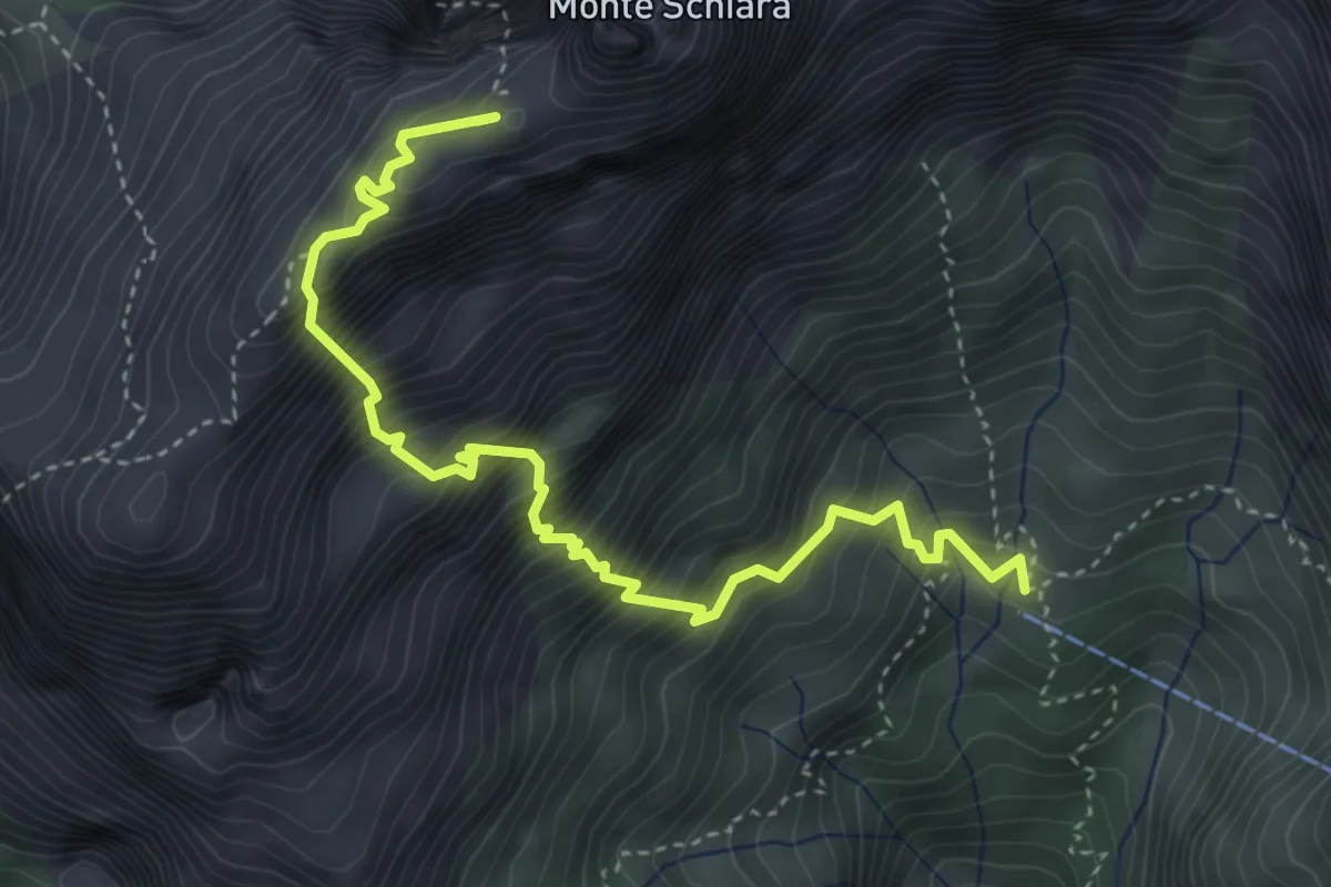
Demanding · Summit
Sentiero Sperti
4.6 km · ↑ 1029 m · 3 h 19 min · 10 km away
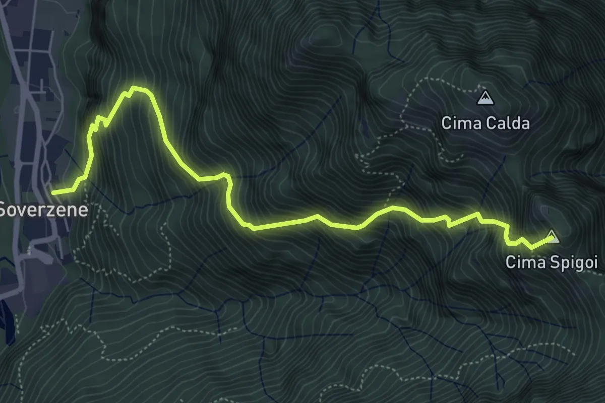
Demanding · Summit
Soverzene – Passo Valpora
6.2 km · ↑ 1169 m · 4 h · 10 km away
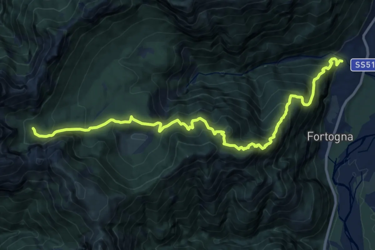
Demanding · Trail
Faè Desedan - Case s. Martino – Casera Caneva - inn. sent. 505
16.6 km · ↑ 1644 m · 7 h 29 min · 10 km away
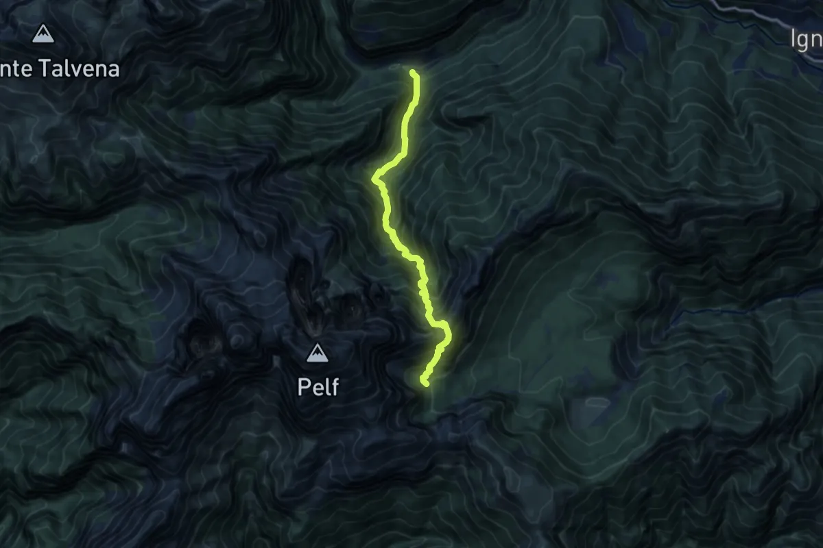
Demanding · Trail
Soffranco - Pont de la Costa Granda – Casera Caneva - inn. sent. 505
10.2 km · ↑ 1367 m · 5 h 22 min · 10 km away
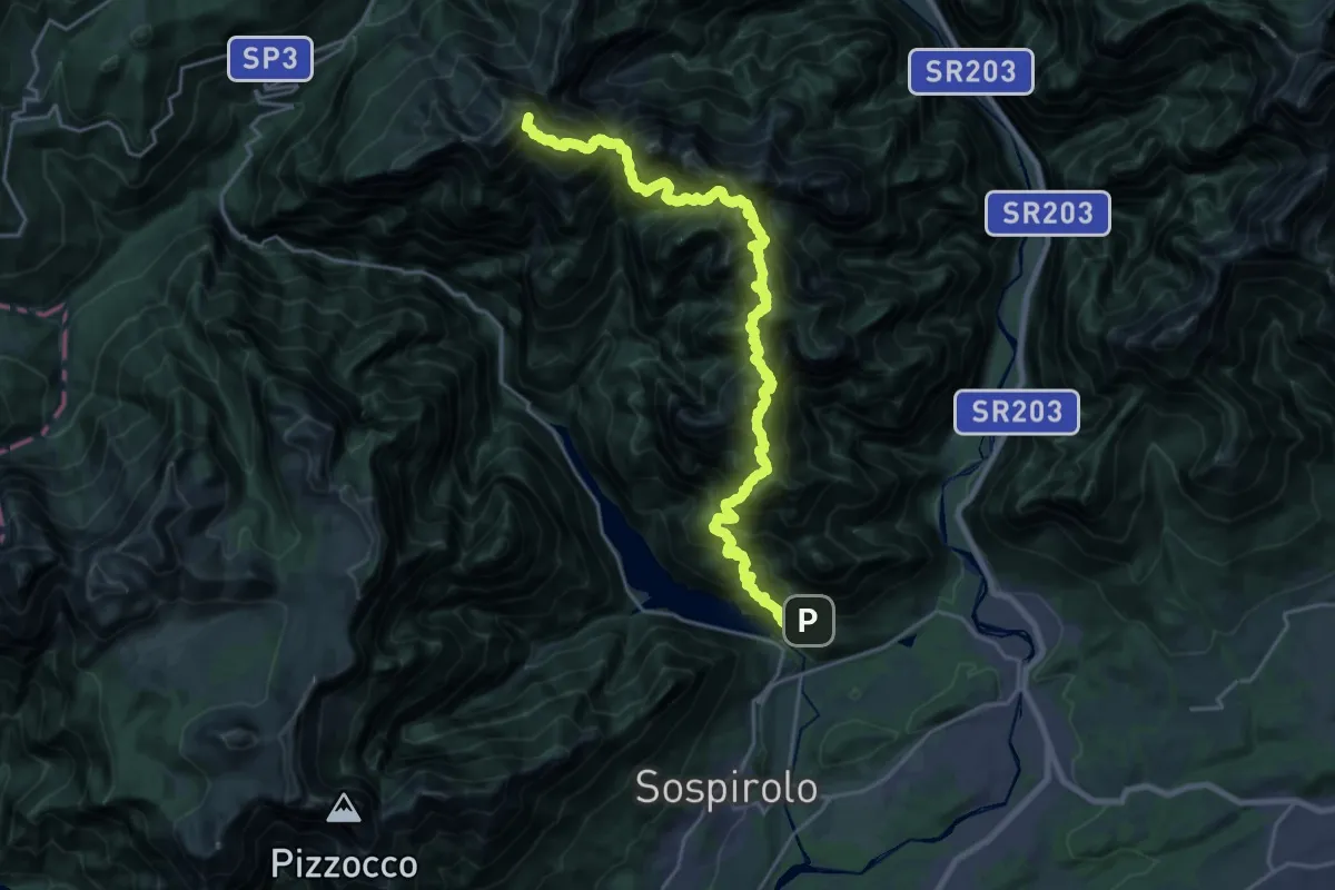
Expert · Summit
Alta Via dei Monti del Sole
26.0 km · ↑ 5219 m · 17 h 27 min · 10 km away
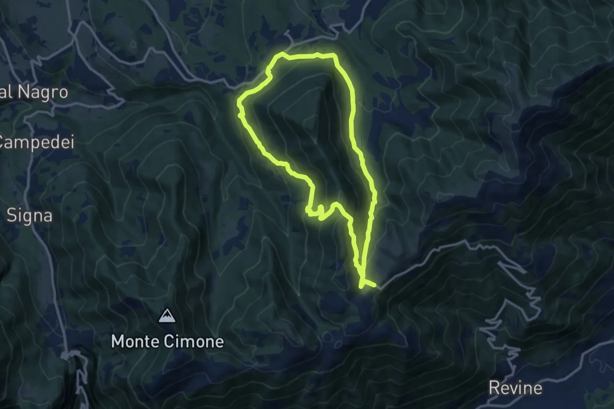
Medium · Trail
Anello sui luoghi della Resistenza
10.2 km · ↑ 457 m · 3 h 33 min · 11 km away
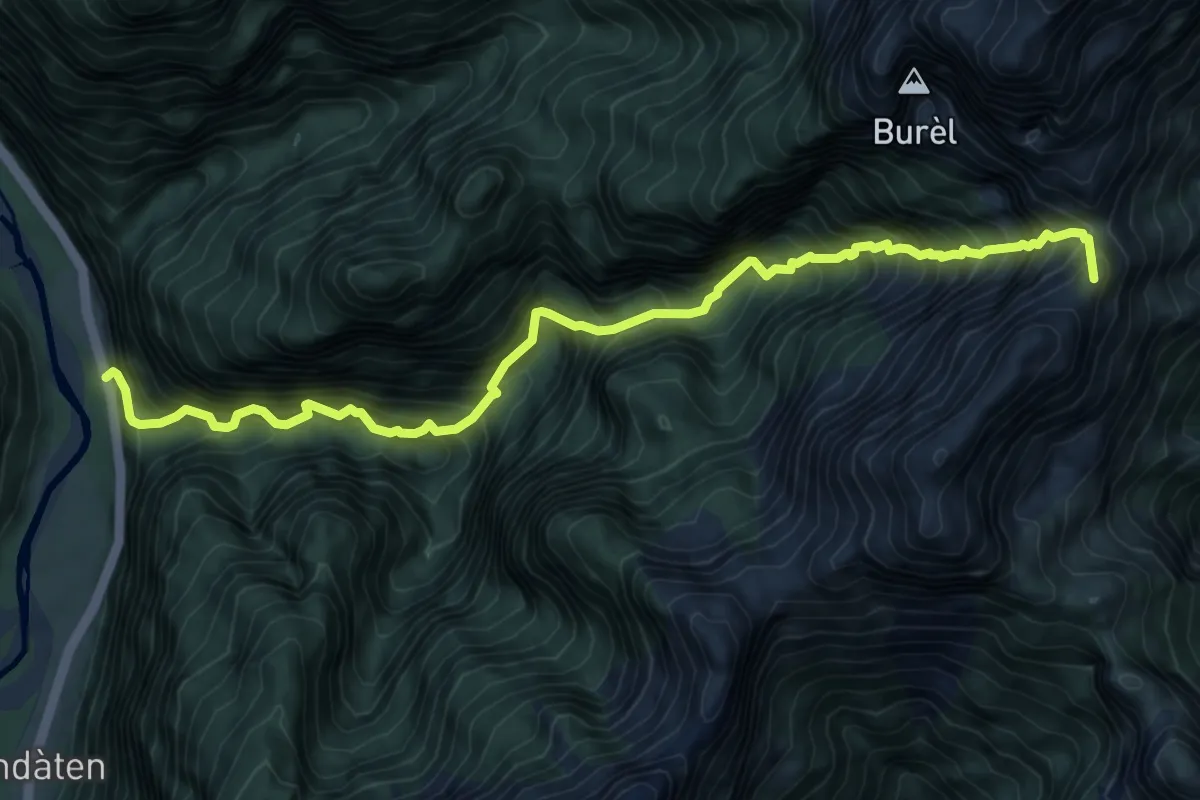
Demanding · Summit
Rifugio 7° Alpini Pis Pilon – La Stanga
9.5 km · ↑ 1669 m · 5 h 52 min · 11 km away
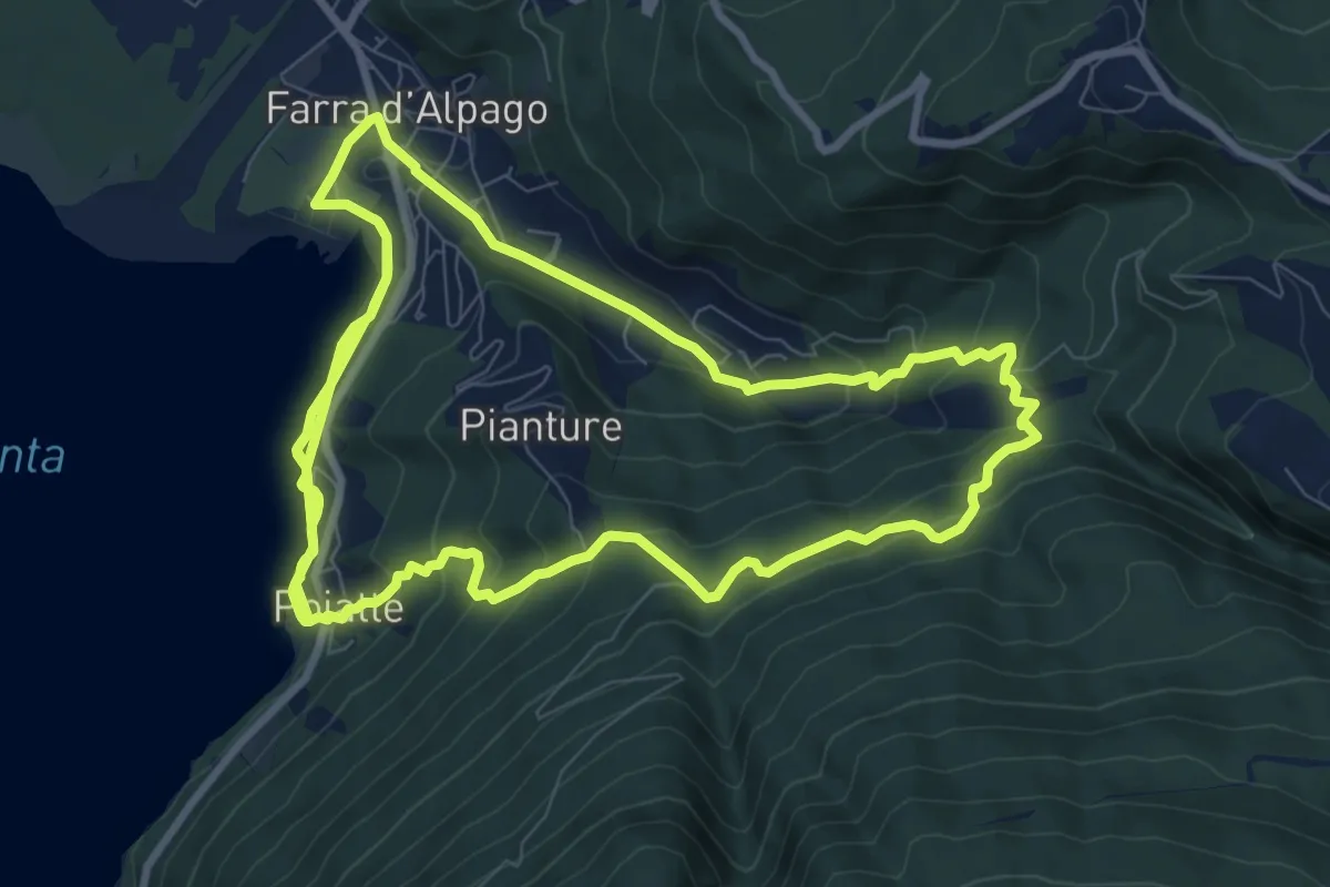
Demanding · Trail
sentiero per il Nordic Walking
21.8 km · ↑ 906 m · 7 h 7 min · 11 km away
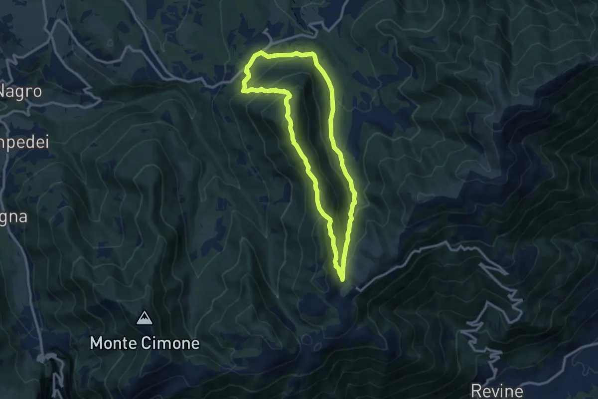
Medium · Summit
Anello Monte Frontal del "Cacciatore"
8.5 km · ↑ 463 m · 3 h 8 min · 11 km away
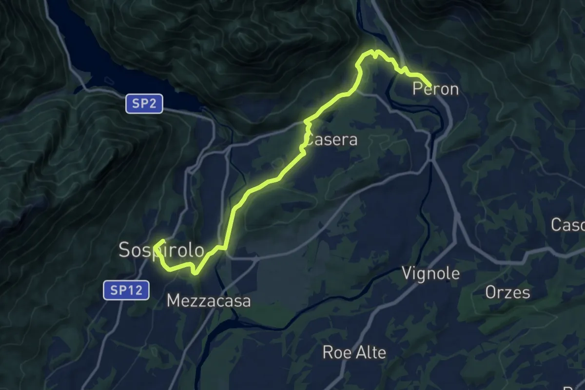
Easy · Pilgrim path
Cammino delle Dolomiti - Tappa 07a
6.8 km · ↑ 121 m · 2 h · 11 km away
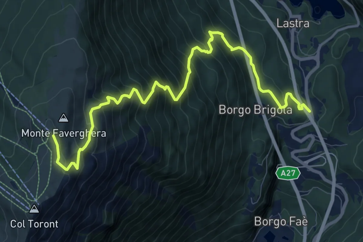
Demanding · Cabin
Santa Croce - Lastra – Monte Faverghera (Casera)
11.6 km · ↑ 1136 m · 5 h 12 min · 11 km away
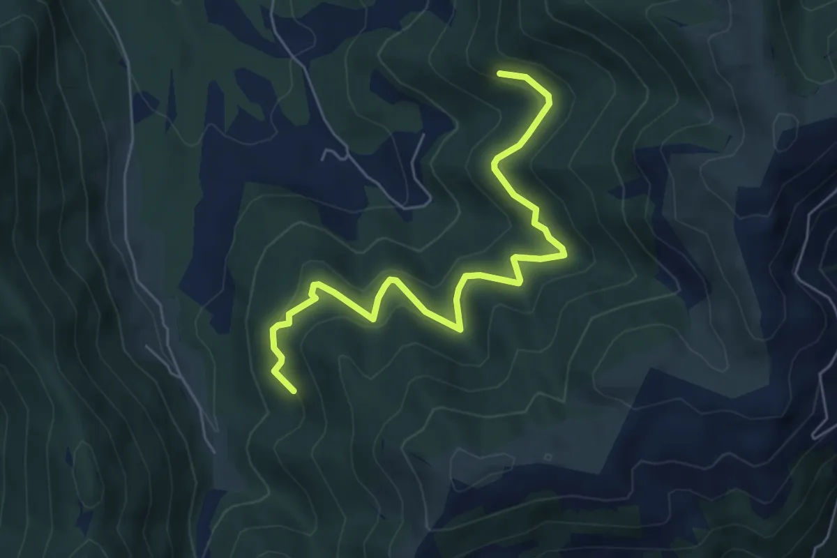
Medium · Trail
da sentiero 2202 quota 1108 – innesto sentiero 2204
6.1 km · ↑ 415 m · 2 h 20 min · 11 km away
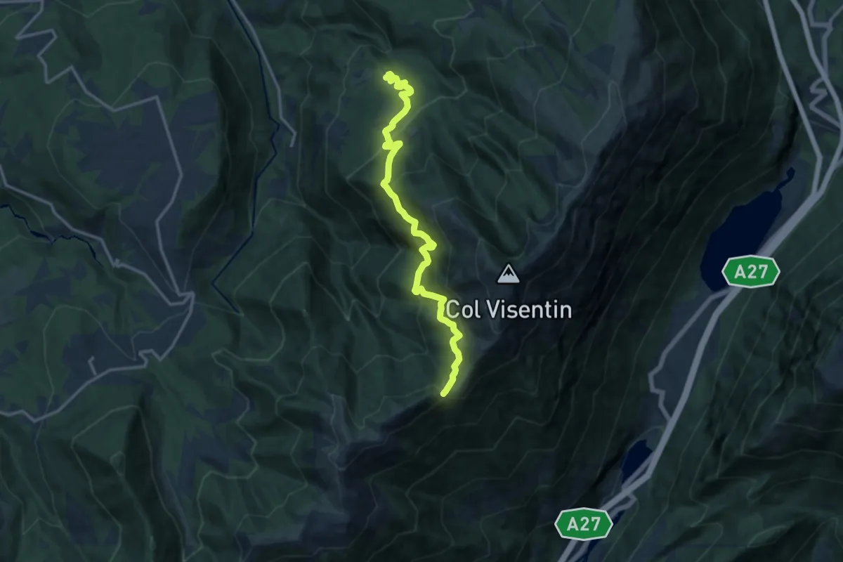
Demanding · Trail
Case Caviola – Forcella Zopei
12.9 km · ↑ 951 m · 5 h 6 min · 11 km away
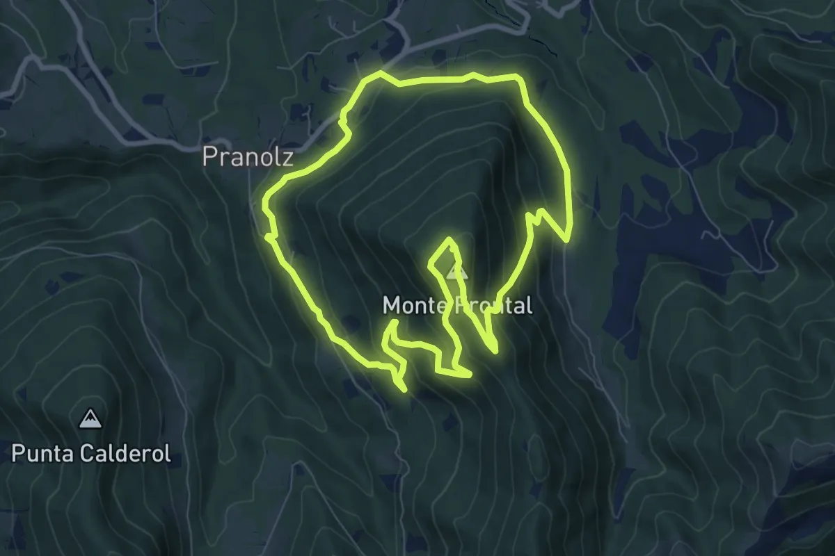
Medium · Summit
Anello Spelonca di Frontal
8.0 km · ↑ 496 m · 3 h 5 min · 11 km away
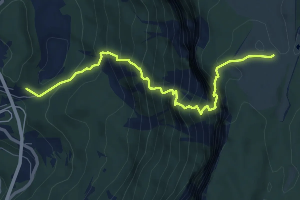
Demanding · Trail
Sella Fadalto - Gaviol – Casera Prese
6.9 km · ↑ 960 m · 3 h 43 min · 12 km away
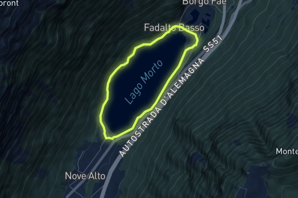
Easy · Trail
Sentiero del Lago Morto
4.2 km · ↑ 84 m · 1 h 14 min · 12 km away
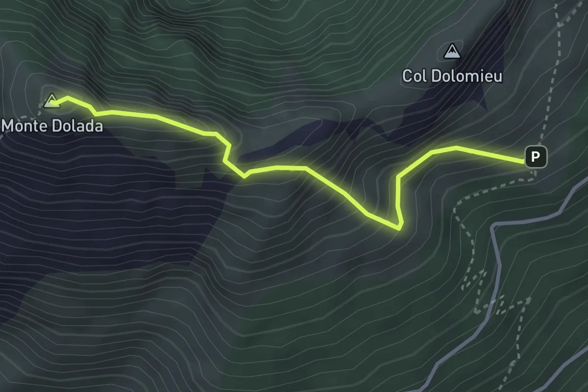
Demanding · Summit
nei pressi del Rifugio Dolada da sentiero 905 – Monte Dolada
3.2 km · ↑ 425 m · 1 h 41 min · 12 km away
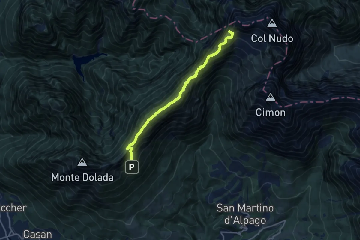
Demanding · Summit
Alta via n. 7 delle Dolomiti - I Tappa
11.1 km · ↑ 1062 m · 4 h 56 min · 12 km away
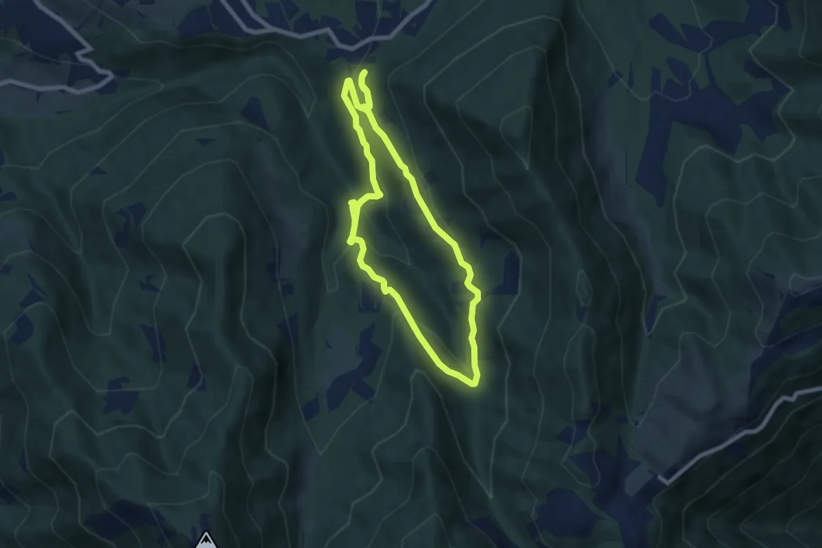
Medium · Trail
Anello Cascata del Bognon
5.9 km · ↑ 255 m · 2 h 3 min · 12 km away
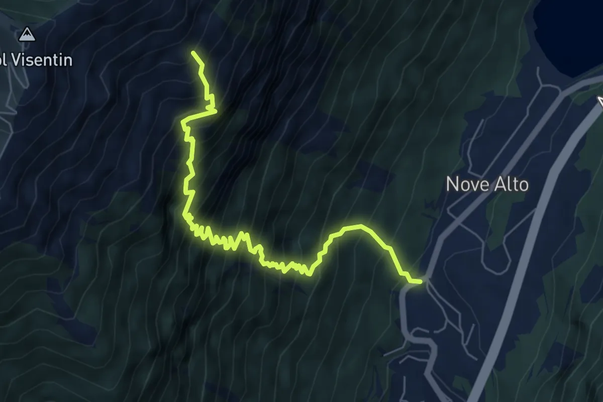
Demanding · Trail
Troi de la Montagna
7.1 km · ↑ 1156 m · 4 h 10 min · 12 km away
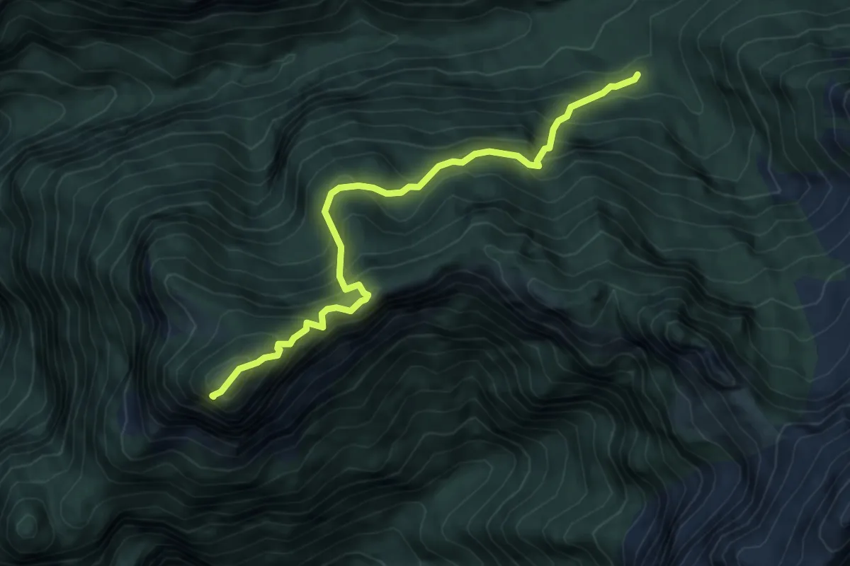
Medium · Summit
sopra Rifugio Bianchet - da sentiero 503 – Monte Coro
6.1 km · ↑ 685 m · 2 h 56 min · 12 km away
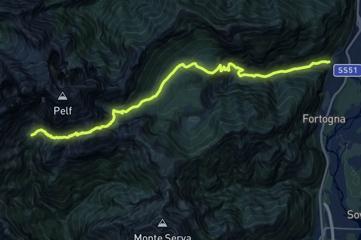
Demanding · Cabin
Stazione Faè-Fortogna da S.S. 51 – Rifugio VII° Alpini - Pis Pilon
10.3 km · ↑ 1631 m · 5 h 37 min · 13 km away