Trails near Belluno
73 hikes starting within 15 km, nearest first.
Nearest first, page 2 of 2
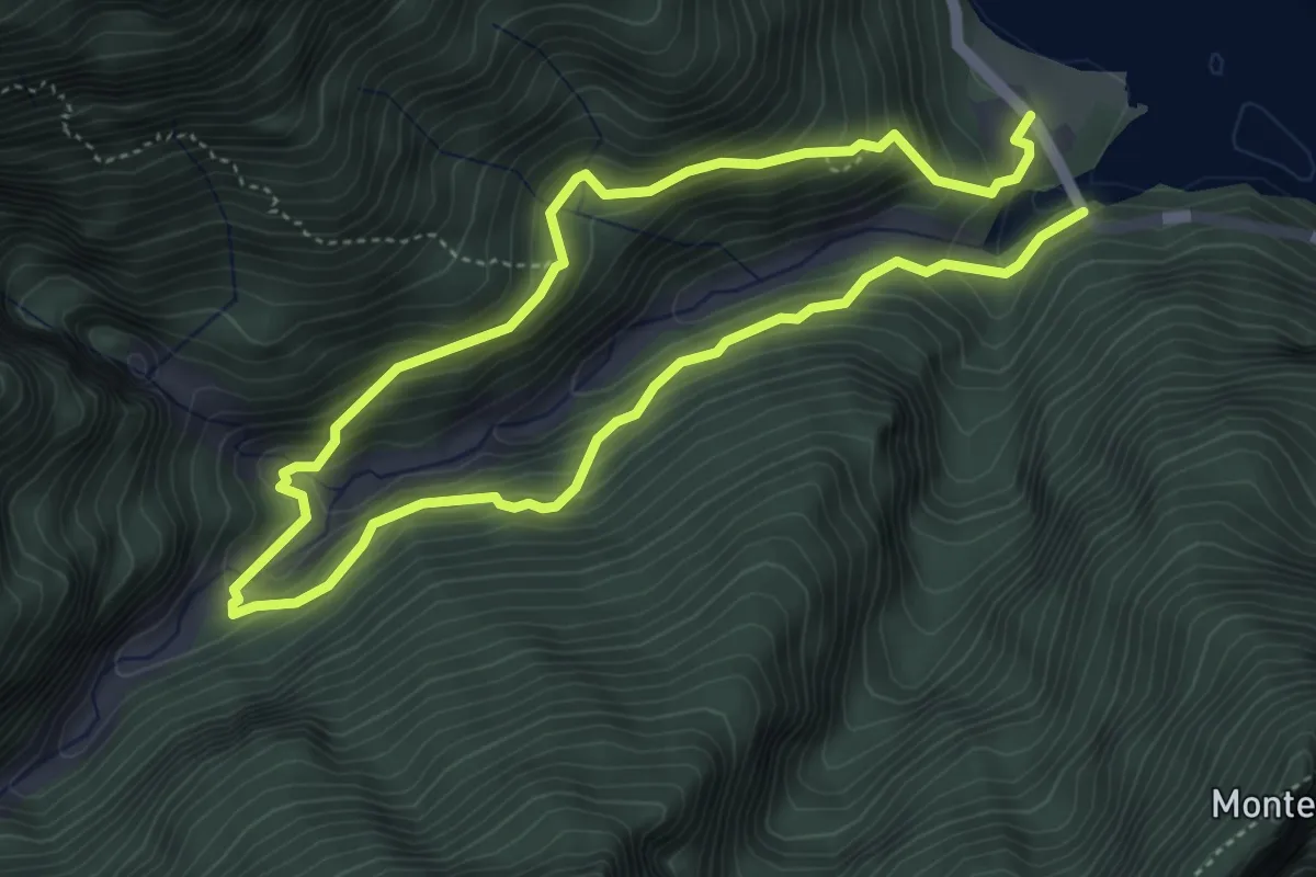
Medium · Trail
Sentiero Natura Val Falcina
7.8 km · ↑ 702 m · 3 h 22 min · 13 km away
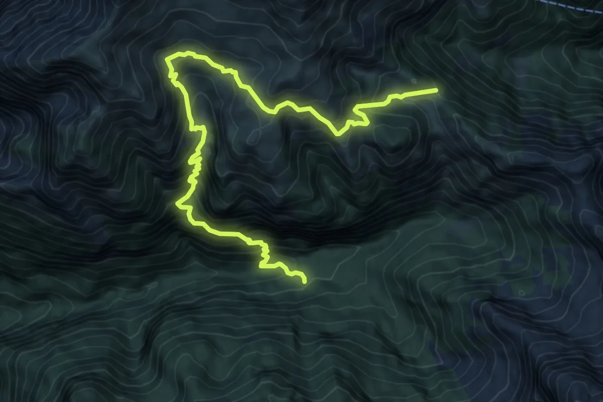
Demanding · Trail
Rifugio Bianchet – Forcella La Vareta - inn. sent. 514
11.2 km · ↑ 1182 m · 5 h 12 min · 13 km away
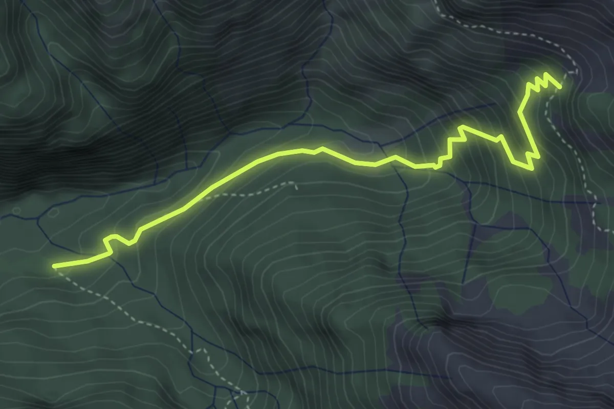
Medium · Cabin
Rifugio Bianchet – Scalon de Nerville - innesto sentiero 514
4.5 km · ↑ 388 m · 1 h 54 min · 13 km away
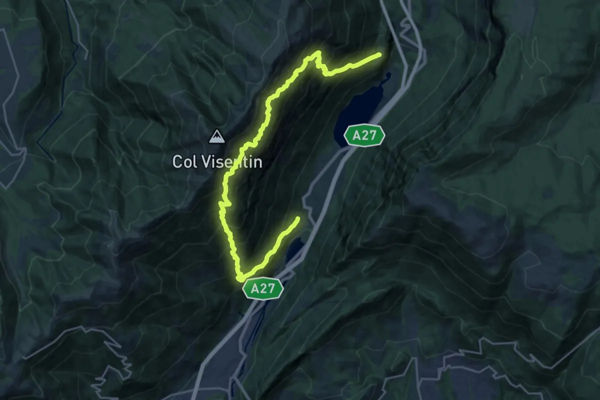
Demanding · Trail
Troi de Medo
11.0 km · ↑ 1448 m · 5 h 45 min · 13 km away
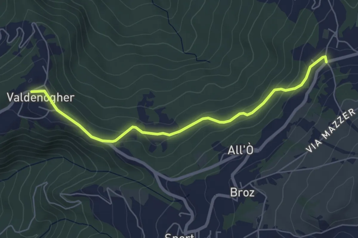
Easy · Trail
Sentiero dell'Alchimista
5.2 km · ↑ 138 m · 1 h 31 min · 13 km away
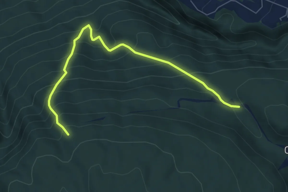
Medium · Trail
Sentiero naturalistico E1
6.2 km · ↑ 676 m · 2 h 56 min · 13 km away
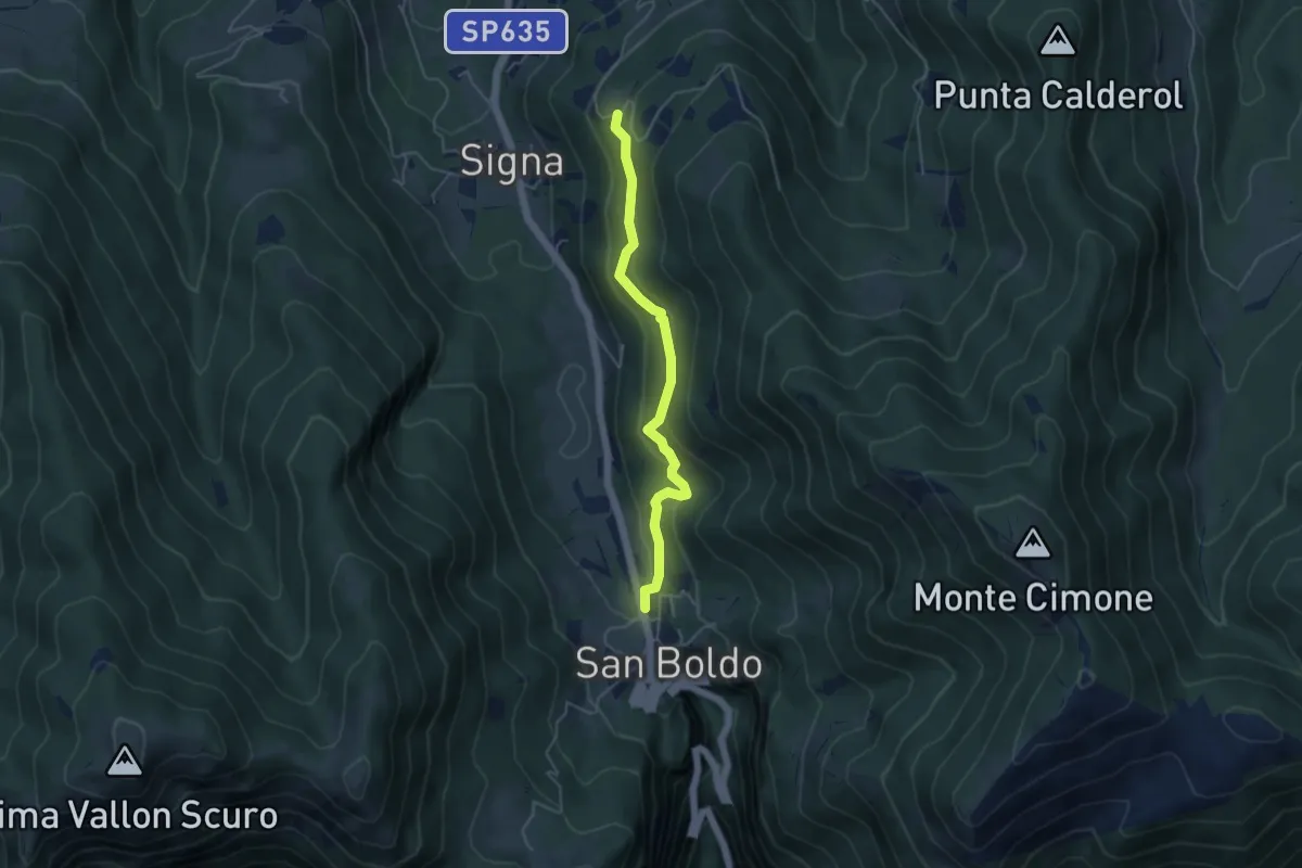
Easy · Trail
Troi de Lont
4.5 km · ↑ 230 m · 1 h 33 min · 13 km away
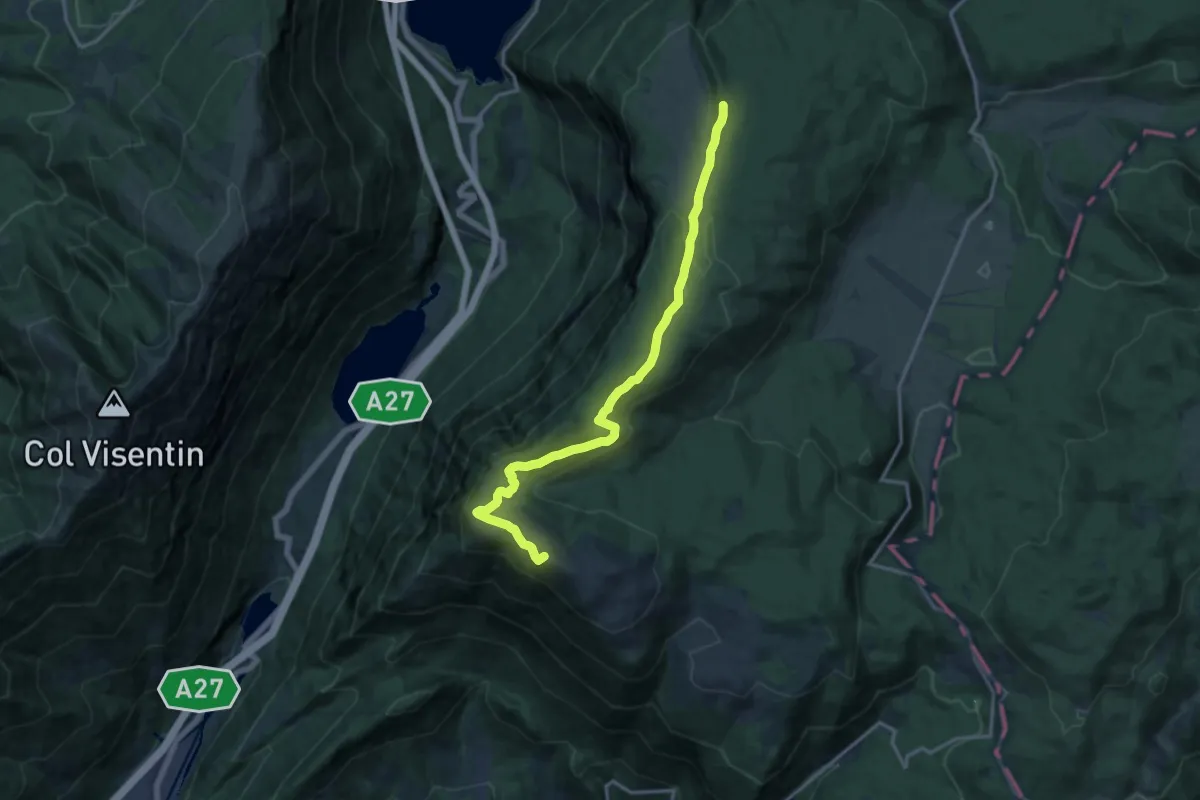
Medium · Summit
Sentiero Naturalistico H3
15.2 km · ↑ 516 m · 4 h 43 min · 13 km away
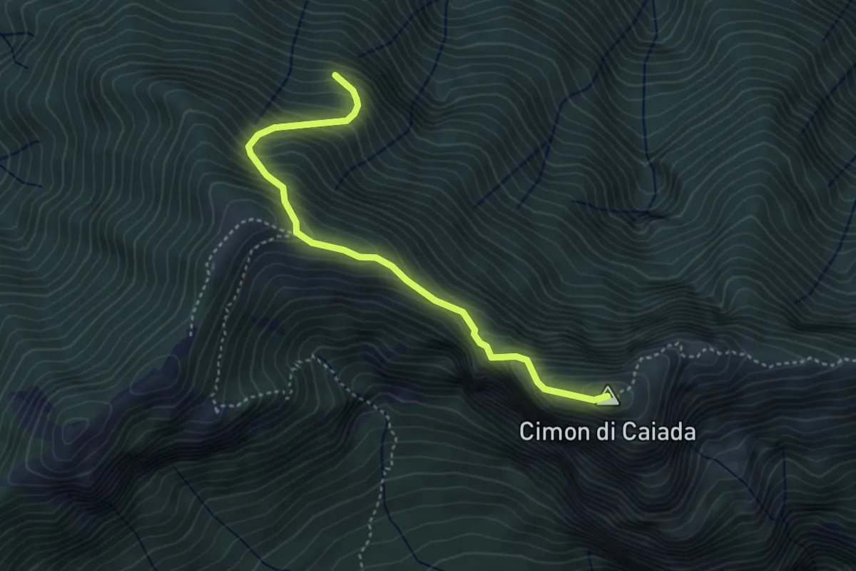
Medium · Summit
Cimitero Muda - Maè – sopra Ponte de la Costa Granda - inn. sent. 527
4.0 km · ↑ 516 m · 2 h 3 min · 13 km away
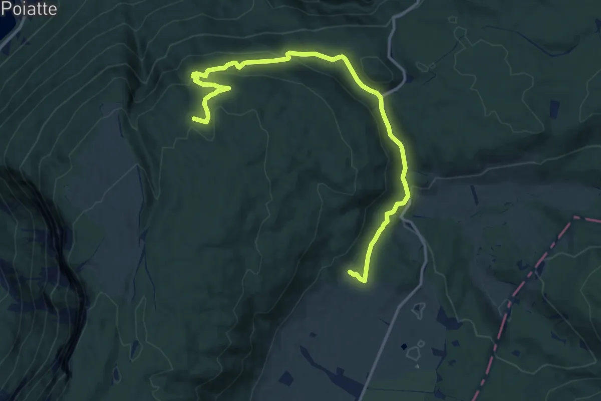
Medium · Trail
Sentiero naturalistico E
13.1 km · ↑ 437 m · 4 h 2 min · 13 km away
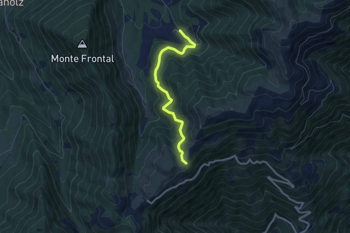
Medium · Trail
Malga Montegal – Casere Frascon
5.9 km · ↑ 352 m · 2 h 10 min · 13 km away
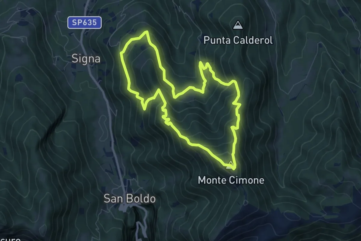
Medium · Summit
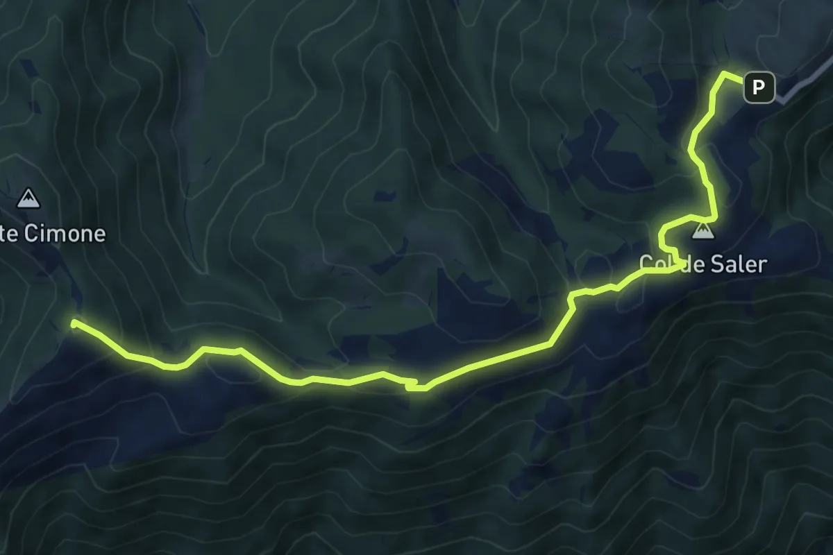
Anello Monte Cimone - Val de Scroa
7.7 km · ↑ 573 m · 3 h 10 min · 14 km away
Medium · Summit
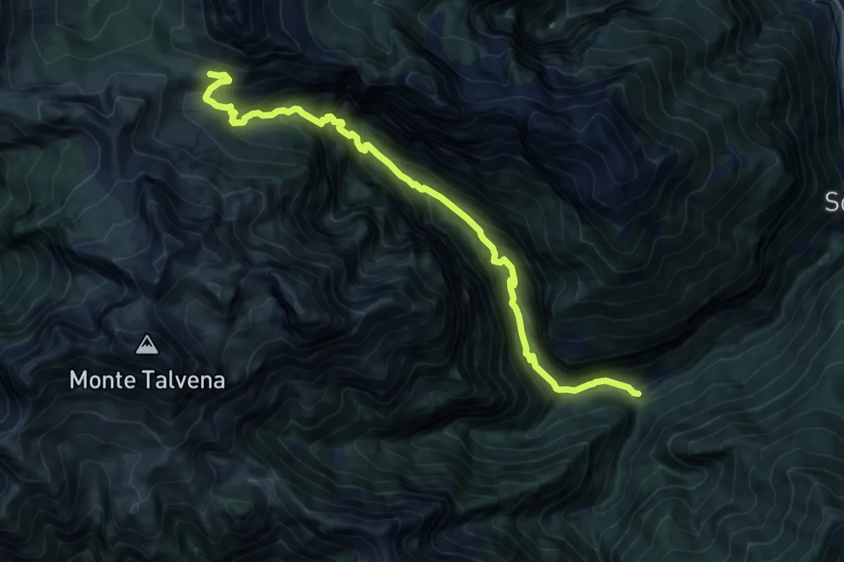
Passo S. Boldo - Fontana da Bafa – Pian de le Femene
8.3 km · ↑ 326 m · 2 h 40 min · 14 km away
Expert · Cabin
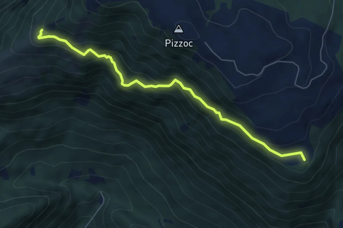
Soffranco - Pont de la Costa Granda – Rifugio Sommariva al Pramperet
13.7 km · ↑ 1283 m · 6 h · 14 km away
Medium · Summit
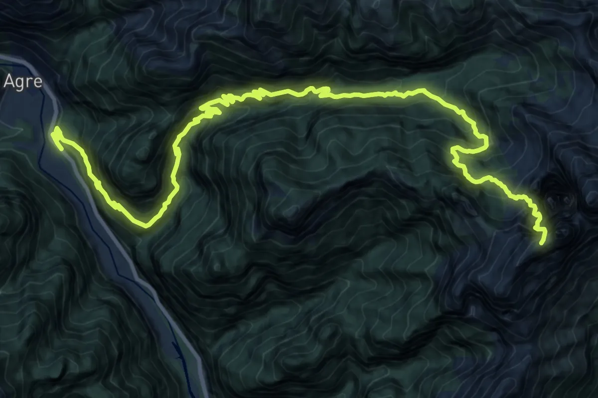
Sentiero del Bracconiere
6.0 km · ↑ 505 m · 2 h 31 min · 14 km away
Expert · Summit
Loc. La Stanga – Rifugio 7° Alpini Pis Pilon
23.7 km · ↑ 2669 m · 11 h 23 min · 14 km away
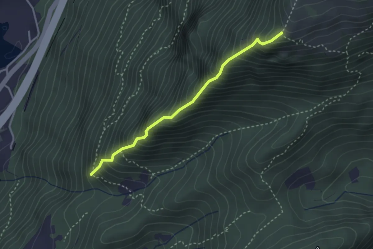
Expert · Trail
La Costiera
2.8 km · ↑ 568 m · 1 h 53 min · 14 km away
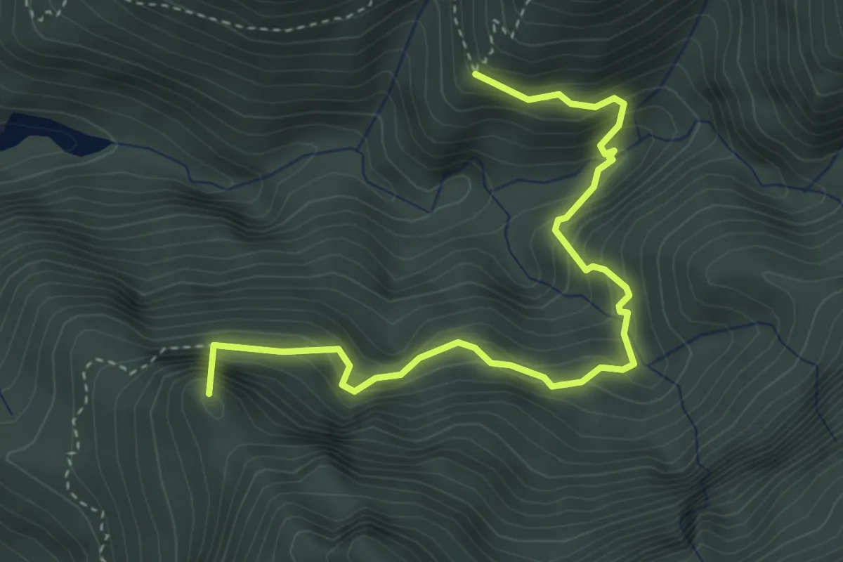
Demanding · Summit
Casera del Pian - da sent. 960 – Val Calastra - inn. sent. 958
4.3 km · ↑ 478 m · 2 h 3 min · 14 km away
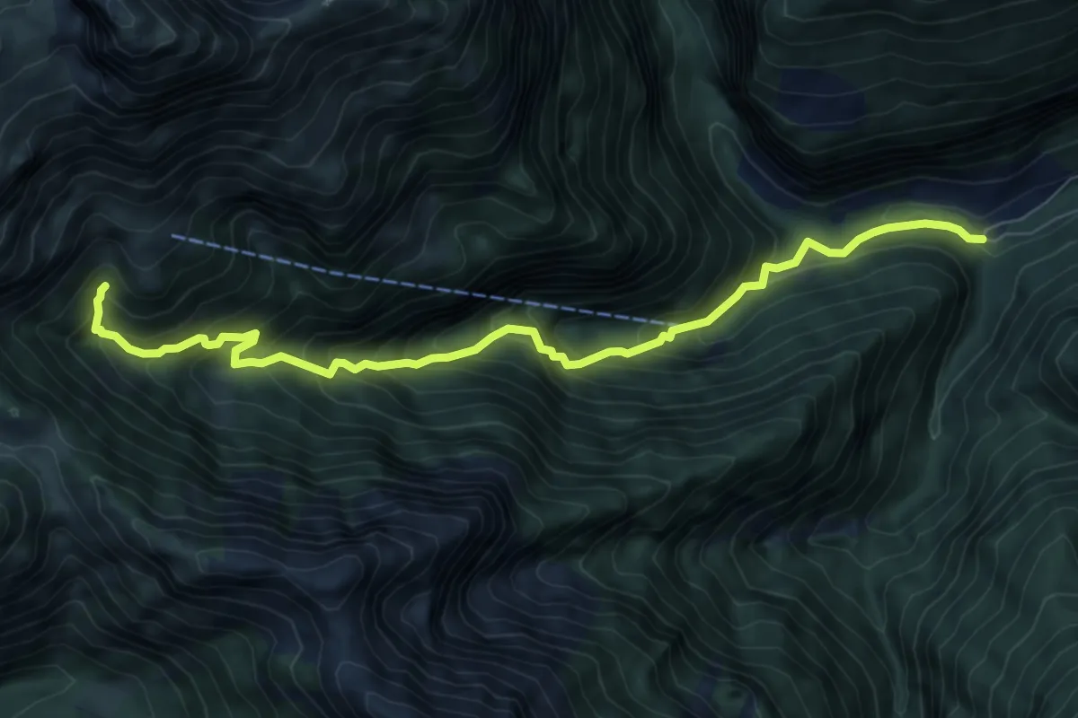
Demanding · Trail
Soffranco - Pont de la Costa Granda – sotto Rifugio Pian de Fontana - innesto percorso 514
8.3 km · ↑ 888 m · 3 h 53 min · 14 km away
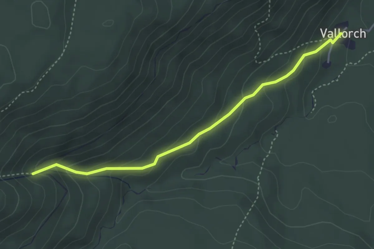
Medium · Trail
Sentiero naturalistico F1
3.9 km · ↑ 219 m · 1 h 23 min · 14 km away
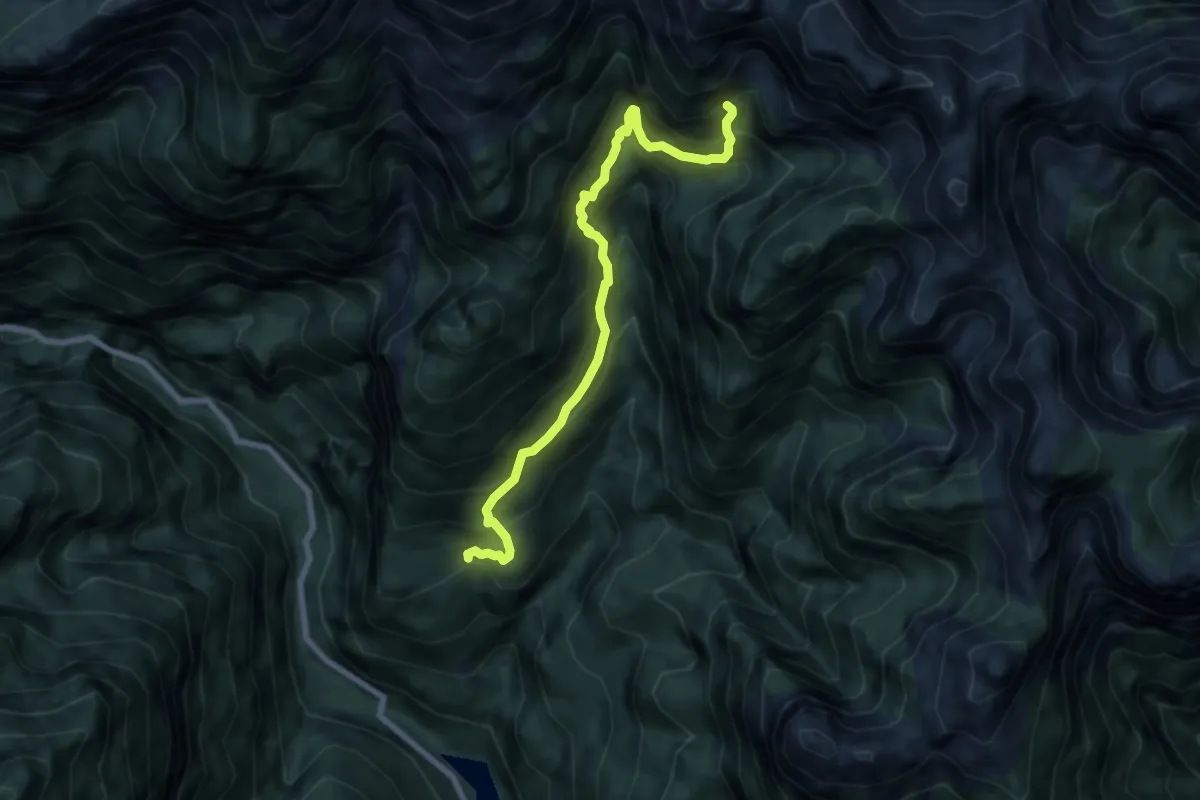
Demanding · Cabin
Gena Alta – Bivacco Valdo
7.5 km · ↑ 972 m · 3 h 53 min · 15 km away
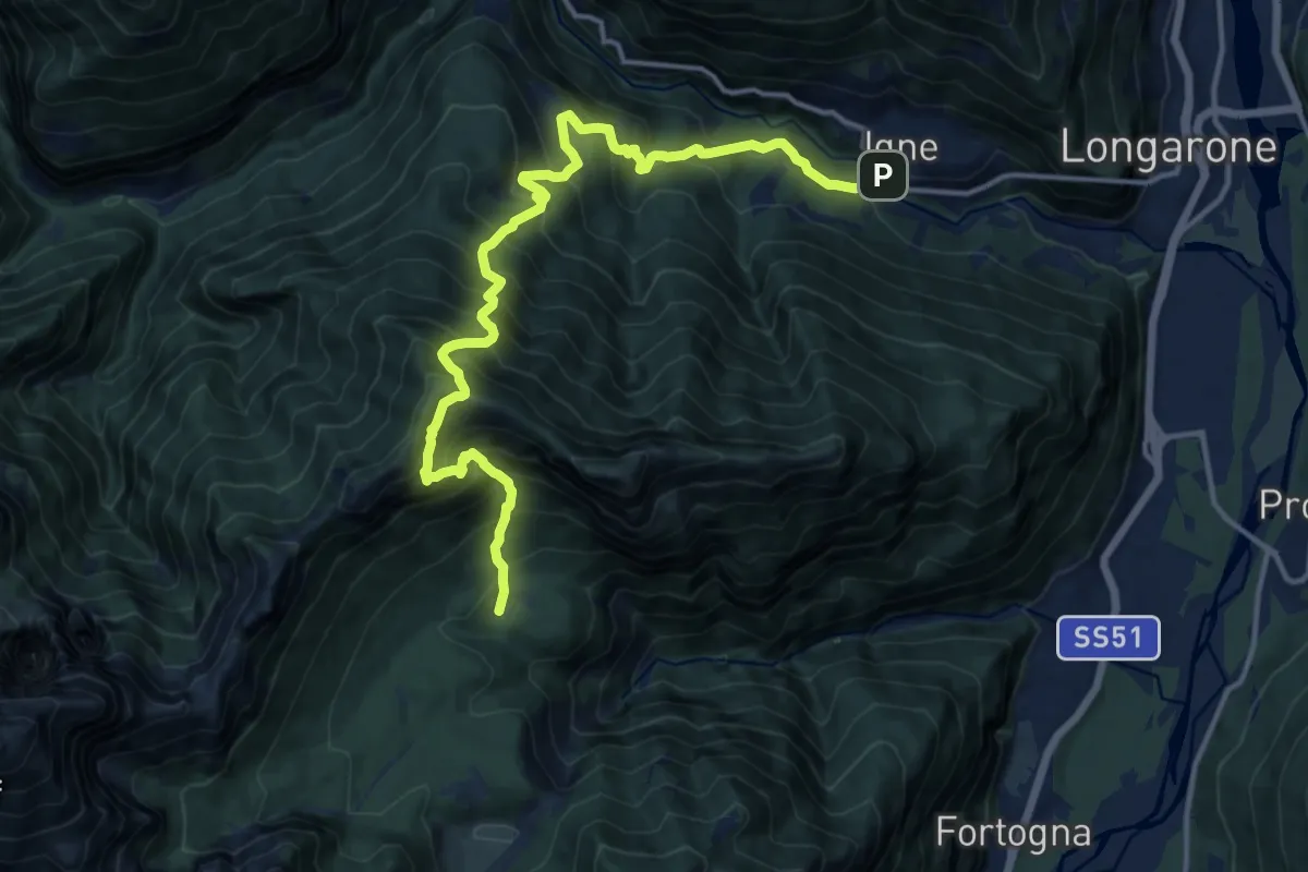
Demanding · Trail
Igne - Passerella sul Maè (quota 580) – Casera Cajada - innesto sentiero 505 (quota 1157)
15.8 km · ↑ 1903 m · 7 h 51 min · 15 km away
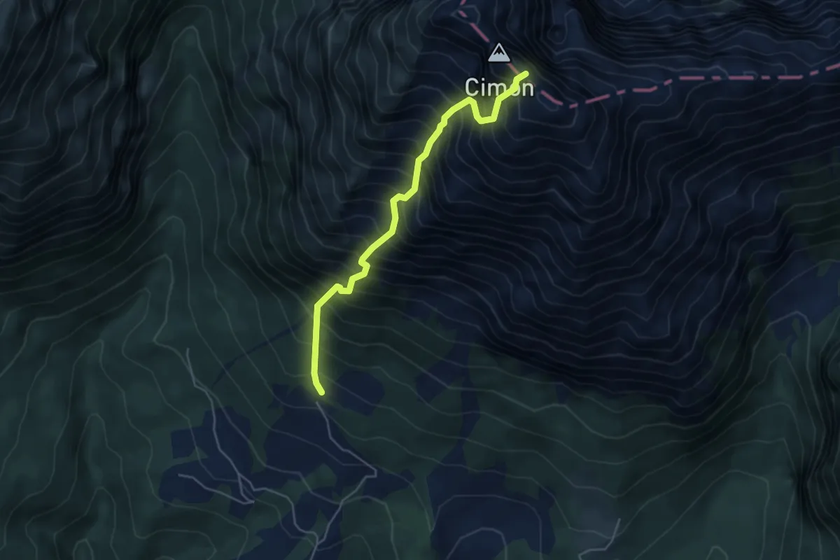
Demanding · Trail
San Martino - Degnona – Cima Monte Teverone
4.7 km · ↑ 1141 m · 3 h 34 min · 15 km away
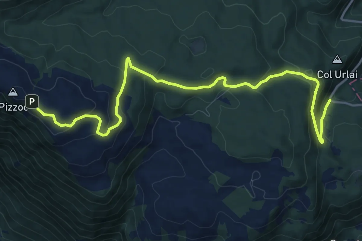
Medium · Trail
Sentiero Naturalistico H
12.6 km · ↑ 435 m · 3 h 55 min · 15 km away
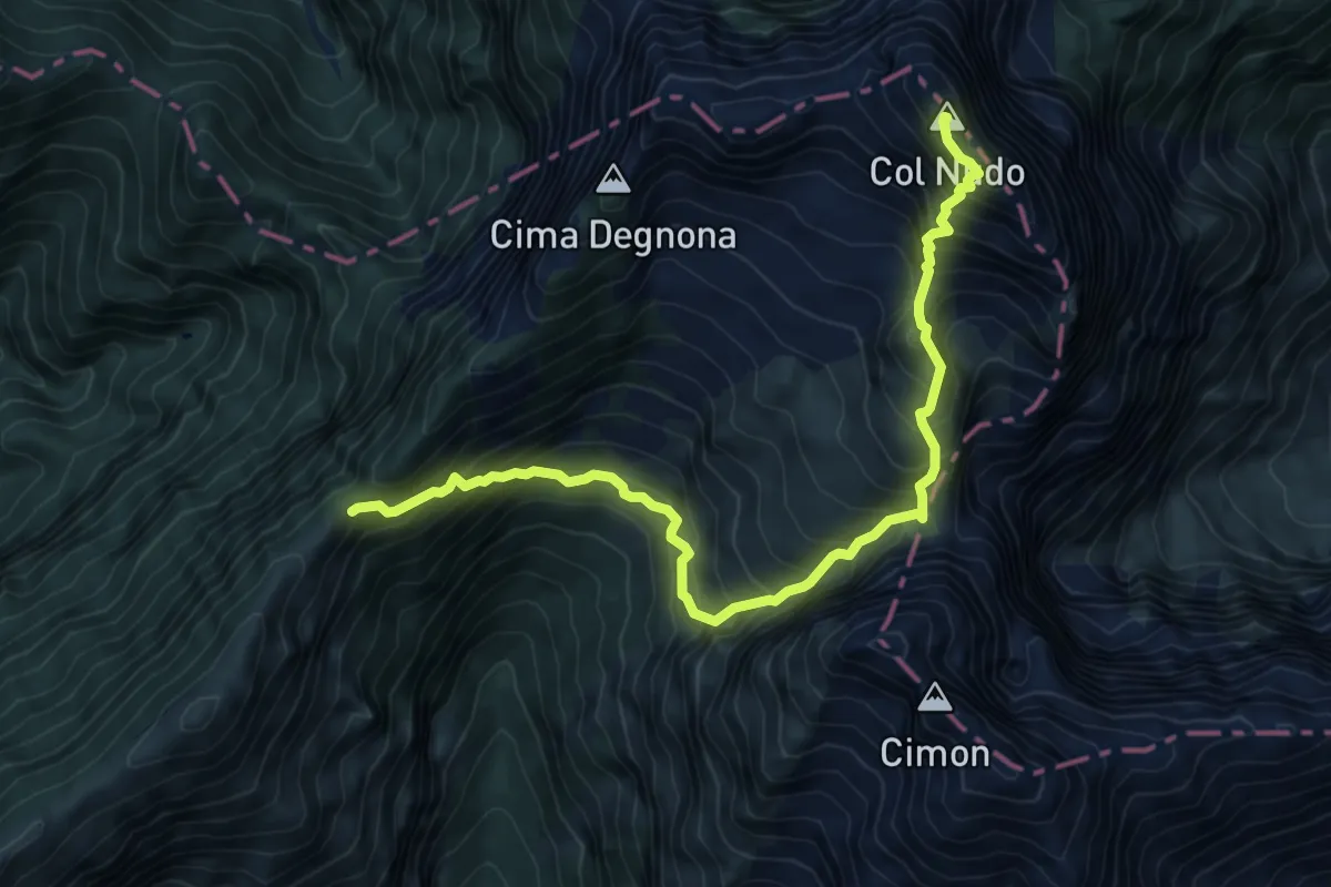
Expert · Summit
Forcella della Lastra – Col Nudo
8.6 km · ↑ 1205 m · 4 h 39 min · 15 km away