Trails near Bergamo
134 hikes starting within 15 km, nearest first.
Nearest first, page 2 of 3
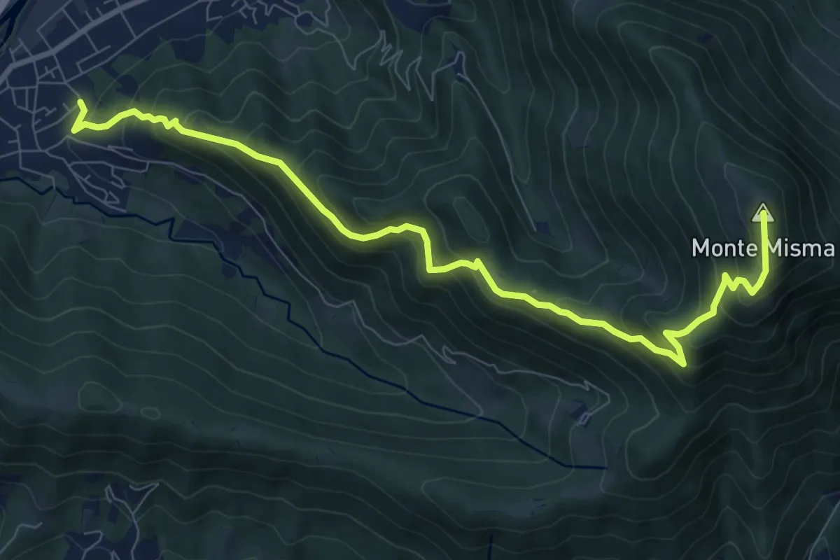
Demanding · Summit
Cornale – Monte Misma
9.9 km · ↑ 853 m · 4 h 11 min · 10 km away
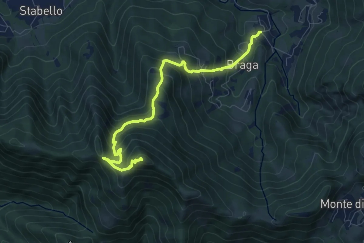
Medium · Summit
Poscante – Canto Alto
8.5 km · ↑ 775 m · 3 h 41 min · 10 km away
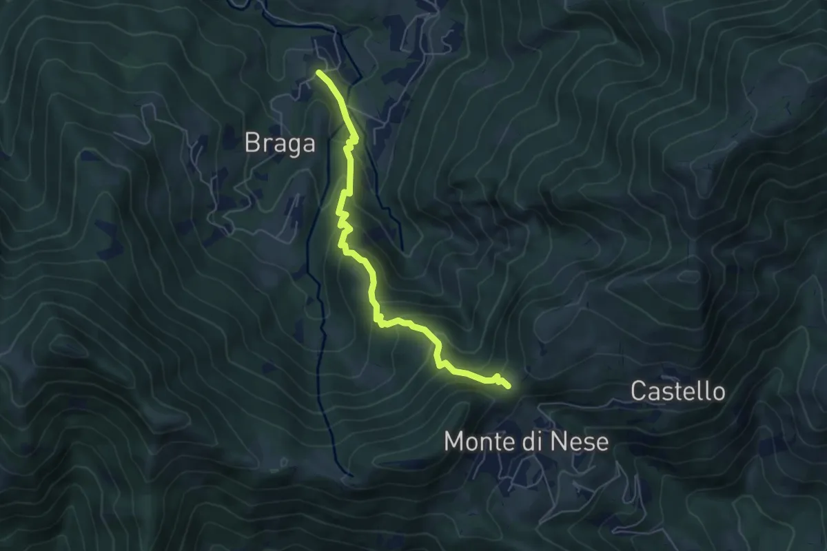
Medium · Trail
Poscante – Forcella di Monte di Nese
5.7 km · ↑ 465 m · 2 h 21 min · 10 km away
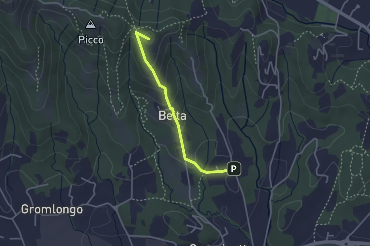
Easy · Summit
Brocchione – Secchia
2.6 km · ↑ 121 m · 53 min · 10 km away
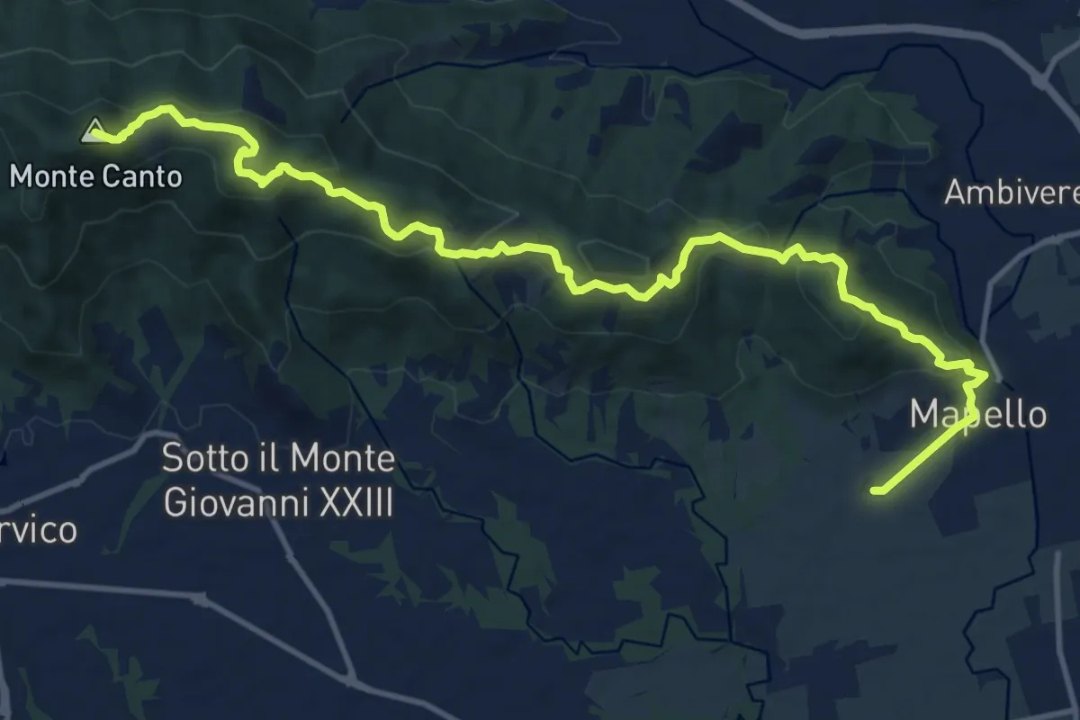
Medium · Summit
Mapello – Villa d'Adda (traghetto)
15.0 km · ↑ 666 m · 4 h 59 min · 10 km away
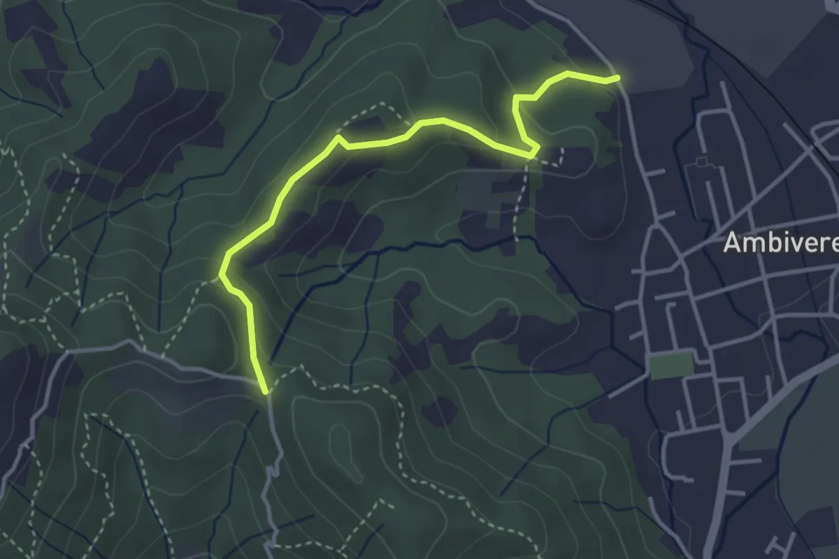
Easy · Trail
Ambivere – Chiesetta dei Cerri (incrocio 891)
3.4 km · ↑ 116 m · 1 h 3 min · 10 km away
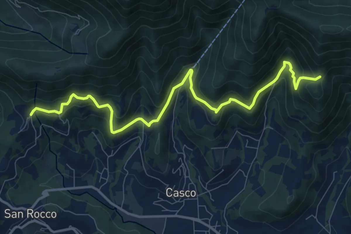
Medium · Trail
Sentiero Verde
10.0 km · ↑ 617 m · 3 h 42 min · 11 km away
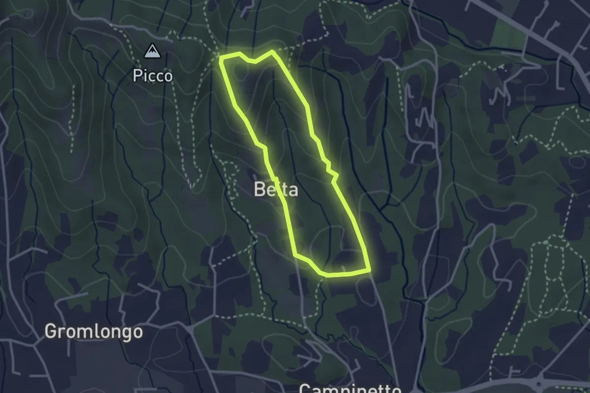
Easy · Summit
Beita - La Vena - Secchia
2.5 km · ↑ 116 m · 53 min · 11 km away
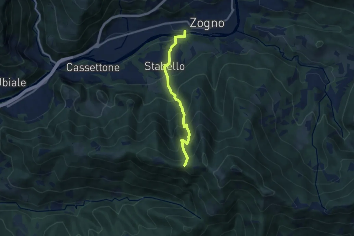
Demanding · Trail
Zogno – Casèl (incrocio 507)
6.1 km · ↑ 672 m · 2 h 54 min · 11 km away
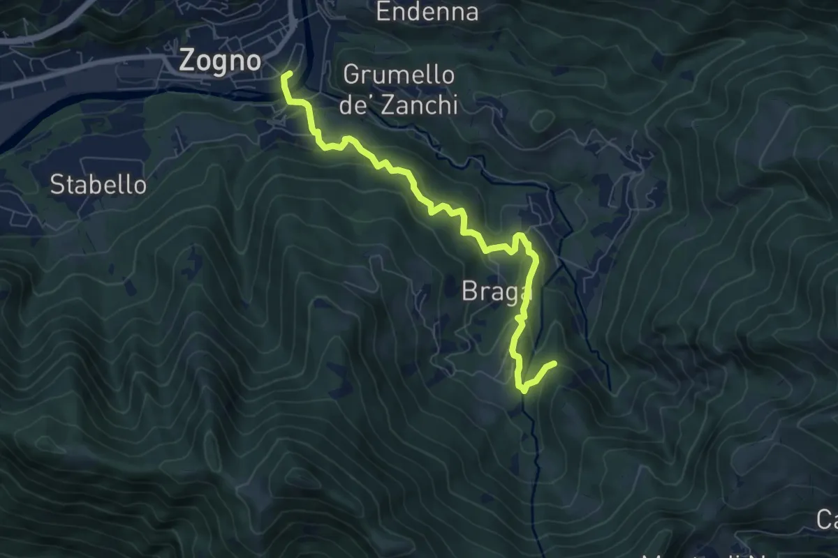
Medium · Trail
La via delle Castagne
7.6 km · ↑ 390 m · 2 h 38 min · 11 km away
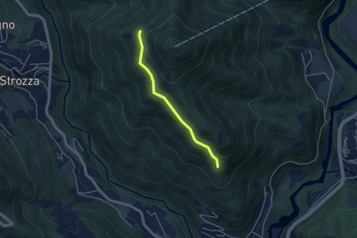
Medium · Trail
Incrocio 571 – Incrocio 584
2.7 km · ↑ 197 m · 1 h 4 min · 11 km away
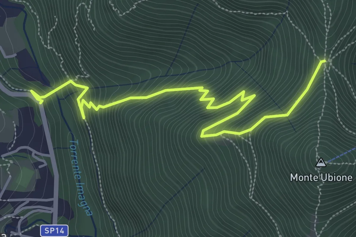
Medium · Trail
Strozza – Roccoli della Passata
4.5 km · ↑ 494 m · 2 h 8 min · 11 km away
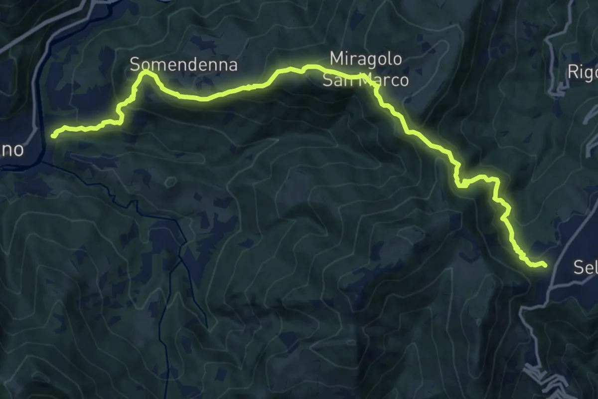
Demanding · Trail
Selvino – Zogno
16.8 km · ↑ 1152 m · 6 h 28 min · 11 km away
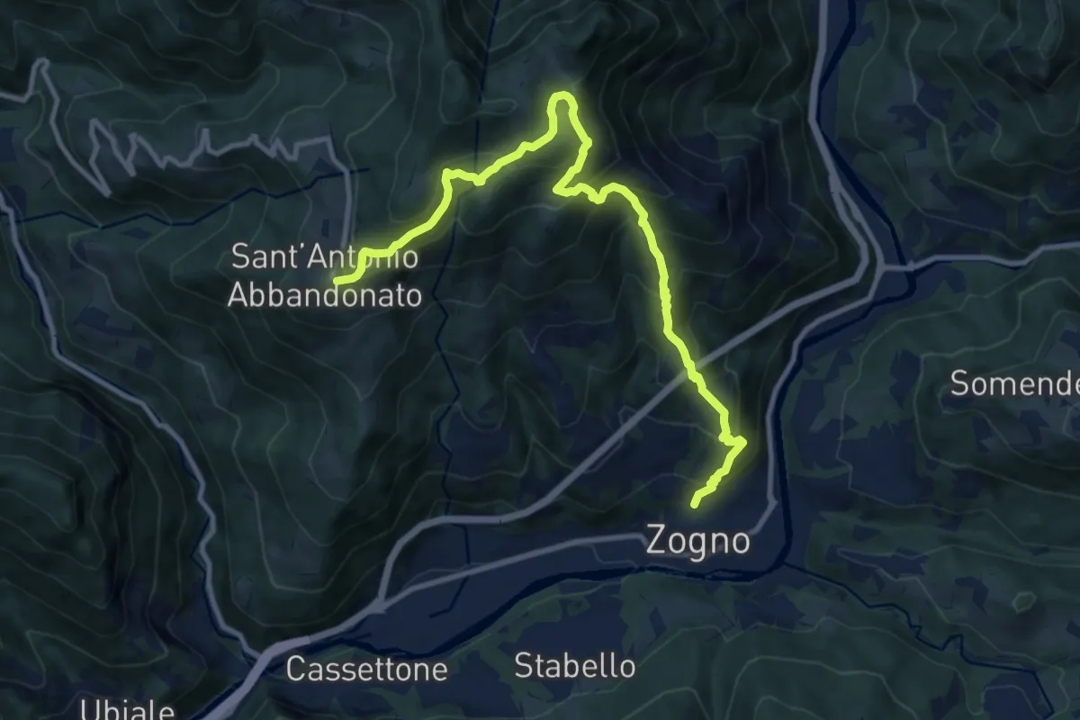
Demanding · Trail
Zogno – S. Antonio Abbandonato
11.8 km · ↑ 1031 m · 5 h 1 min · 11 km away
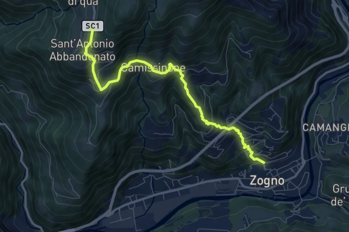
Medium · Trail
Zogno – Castignola
8.2 km · ↑ 688 m · 3 h 25 min · 11 km away
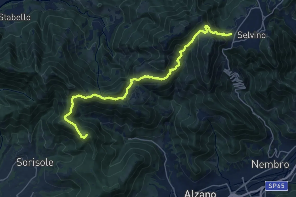
Demanding · Summit
Bergamo (Monterosso) – Selvino
18.3 km · ↑ 1015 m · 6 h 32 min · 11 km away
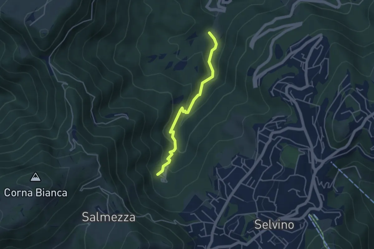
Medium · Trail
Rigosa (Loc. Fop) – Selvino (Sorgente Cantor)
3.4 km · ↑ 225 m · 1 h 18 min · 11 km away
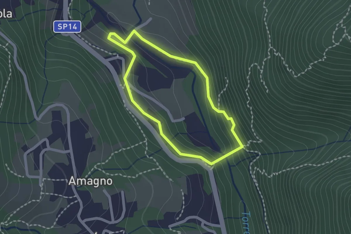
Easy · Trail
Anello del Poscadì
1.5 km · ↑ 62 m · 31 min · 12 km away
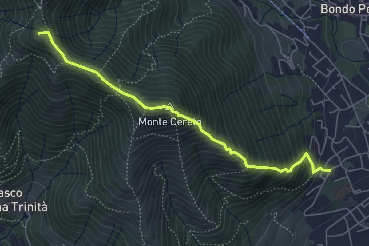
Medium · Summit
Albino – Selvino (Masu)
5.0 km · ↑ 625 m · 2 h 32 min · 12 km away
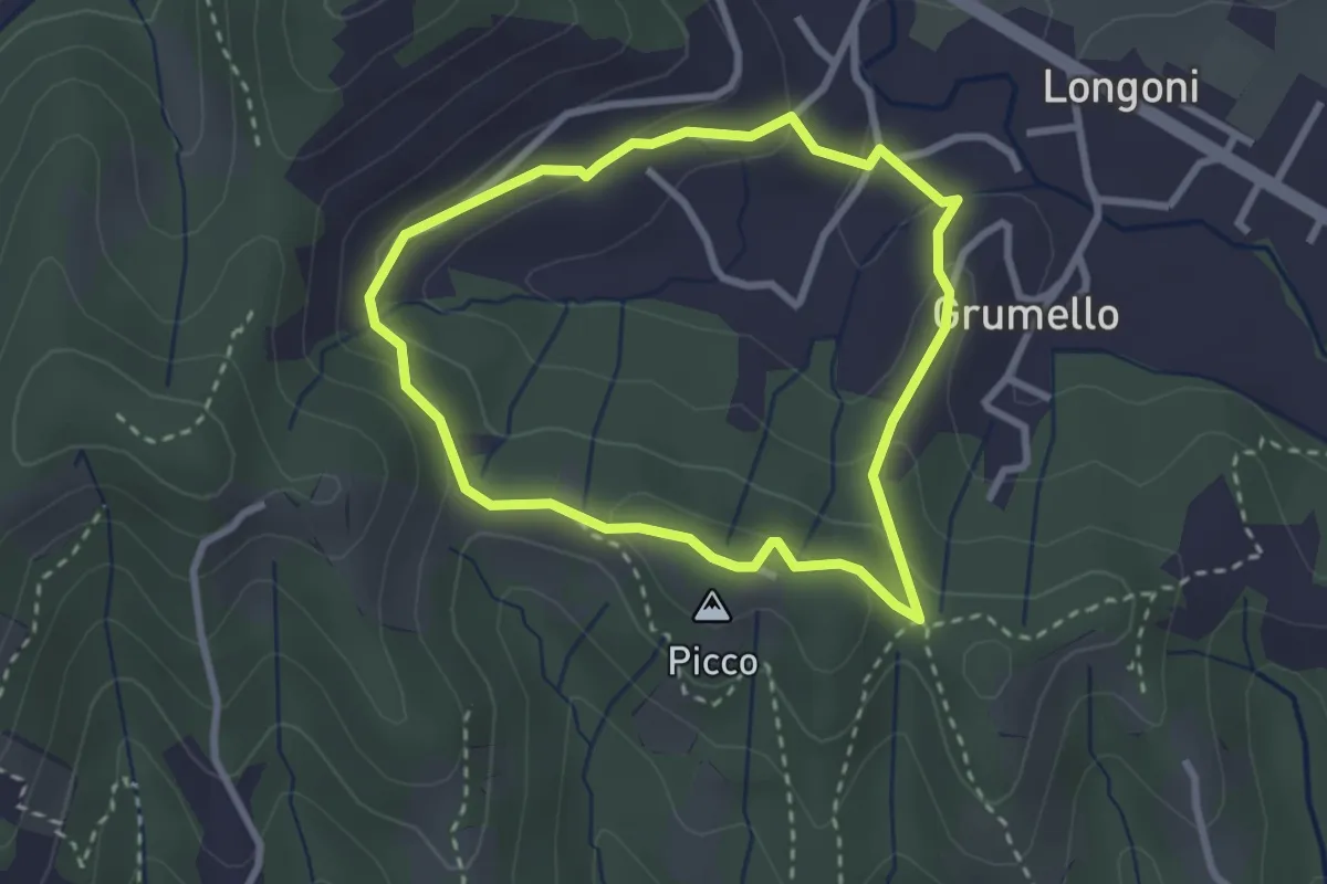
Easy · Summit
I dintorni di Brocchione
2.5 km · ↑ 93 m · 50 min · 12 km away
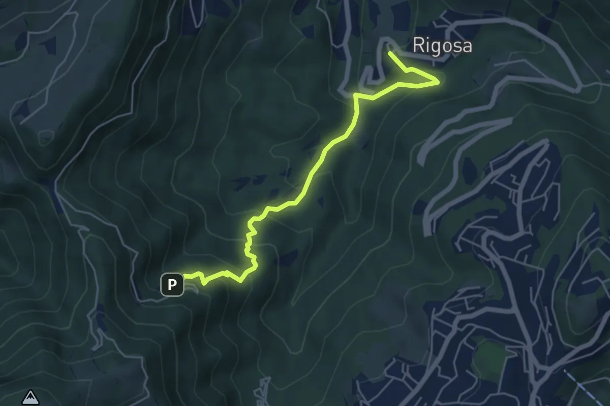
Medium · Trail
Rigosa – Santuario del Perello
5.0 km · ↑ 384 m · 2 h · 12 km away
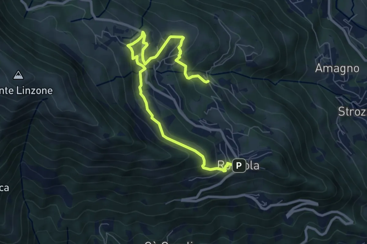
Medium · Trail
Sentiero dell'Acqua
8.4 km · ↑ 438 m · 2 h 56 min · 12 km away
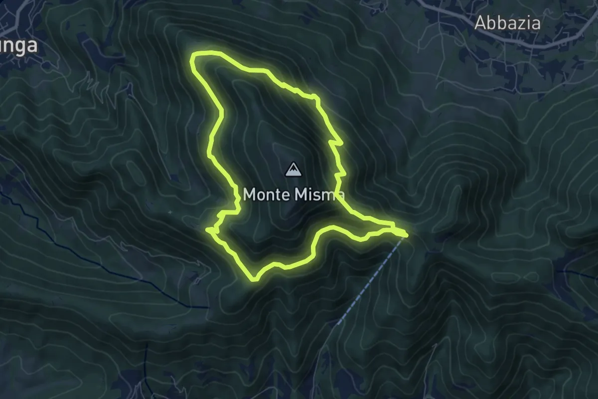
Medium · Trail
Le vie del Misma
7.5 km · ↑ 562 m · 3 h 5 min · 12 km away
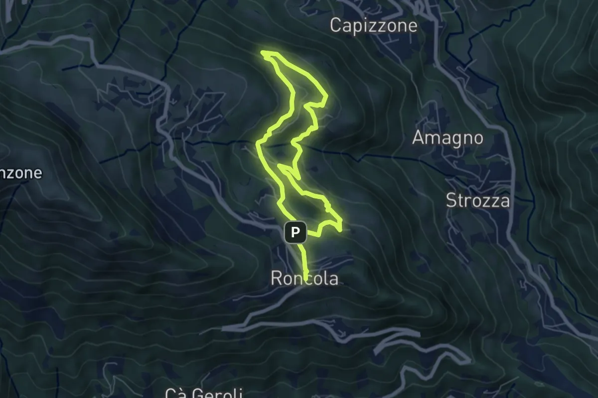
Medium · Trail
Sentiero dei Borghi
9.6 km · ↑ 453 m · 3 h 15 min · 12 km away
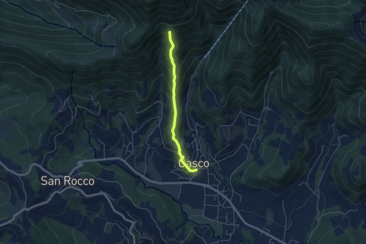
Medium · Trail
Cenate Sopra – Cà Muratori
4.0 km · ↑ 389 m · 1 h 47 min · 12 km away
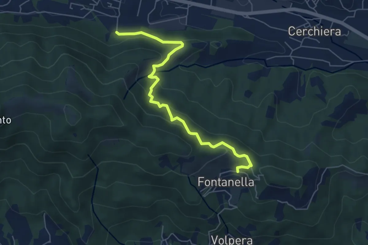
Medium · Trail
Pontida – Fontanella
5.9 km · ↑ 347 m · 2 h 8 min · 12 km away
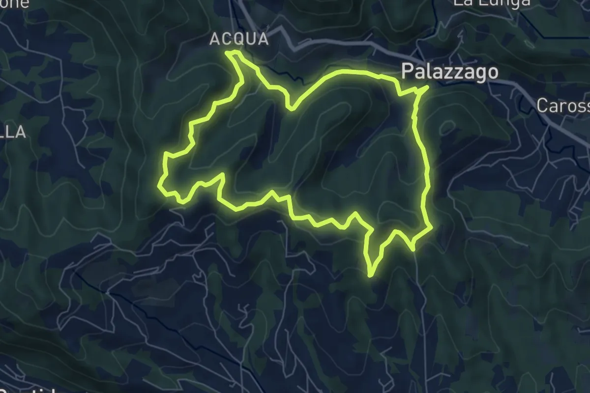
Medium · Summit
Percorso dei Pradéi
7.3 km · ↑ 344 m · 2 h 34 min · 12 km away
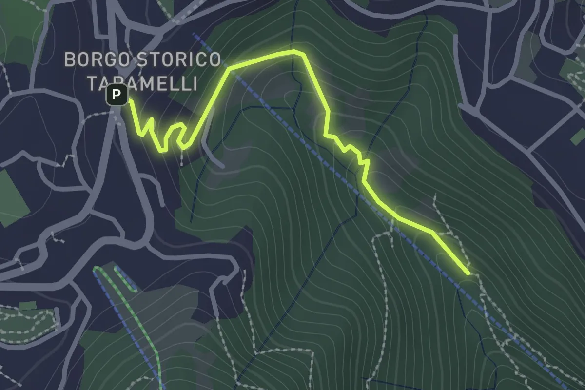
Easy · Trail
Incrocio 550 – Selvino
2.6 km · ↑ 160 m · 58 min · 12 km away
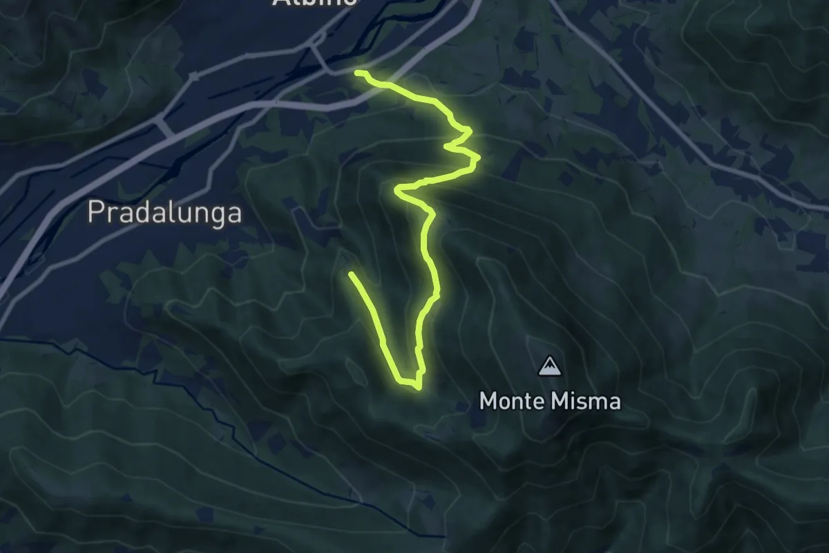
Medium · Trail
Albino – Forcella di Pradalunga
9.4 km · ↑ 747 m · 3 h 51 min · 12 km away
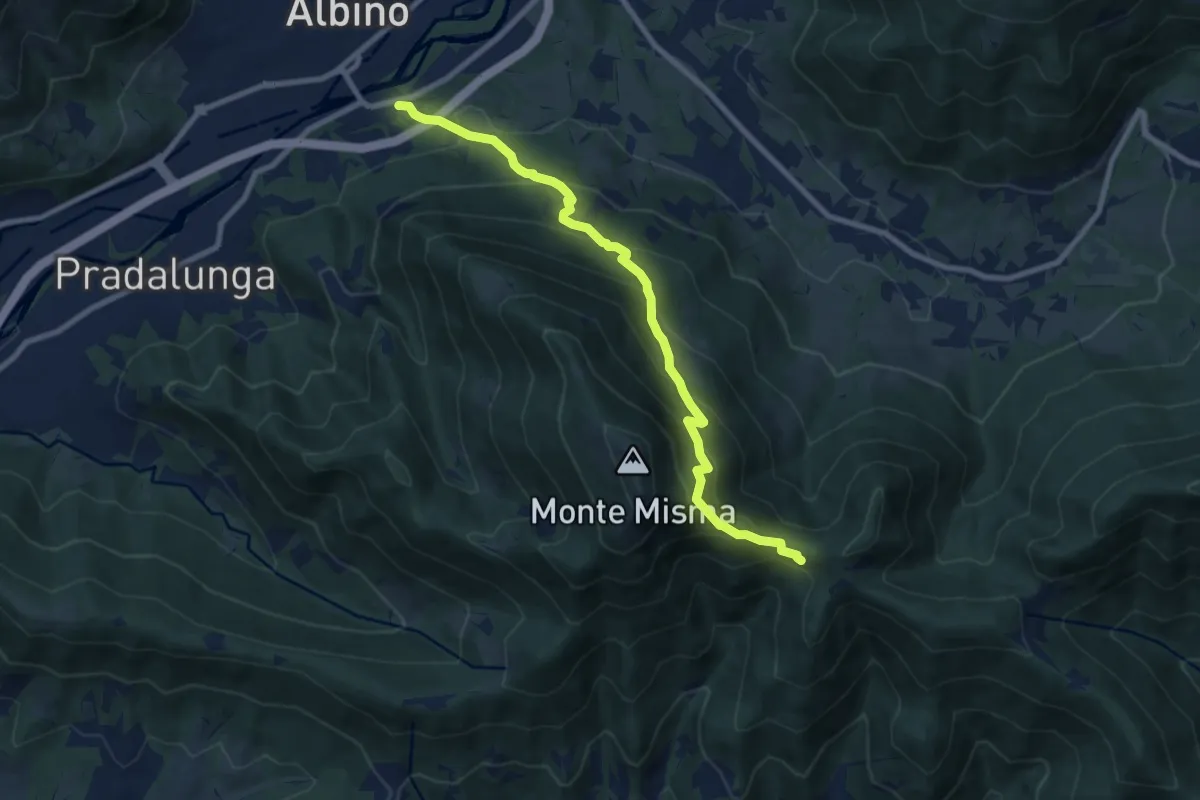
Medium · Cabin
Albino – S. Maria del Misma
8.8 km · ↑ 773 m · 3 h 45 min · 12 km away
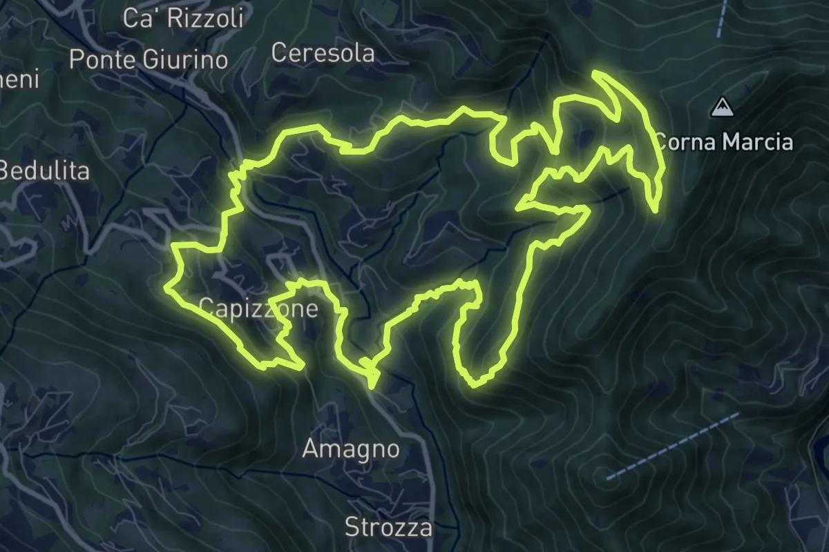
Demanding · Trail
Anello delle Contrade
14.2 km · ↑ 981 m · 5 h 41 min · 12 km away
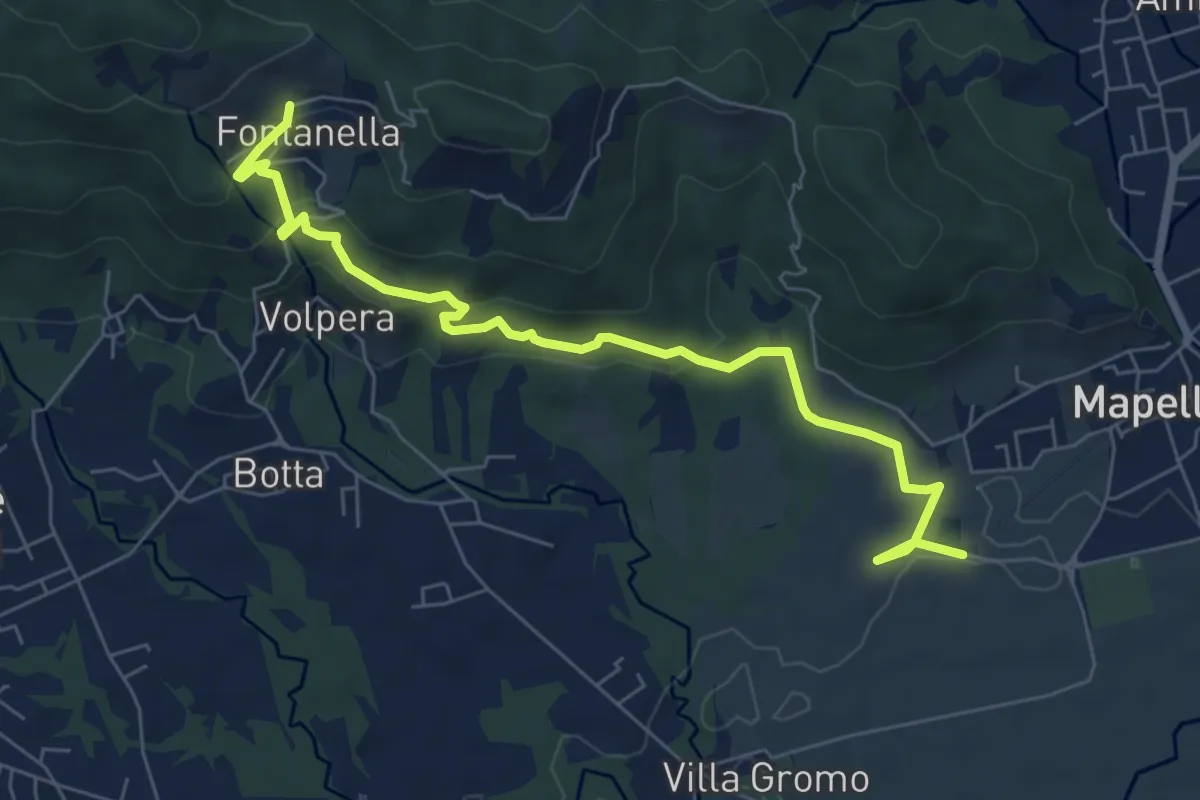
Medium · Trail
Madonna di Prada – Fontanella (Sotto il Monte)
7.5 km · ↑ 231 m · 2 h 17 min · 12 km away
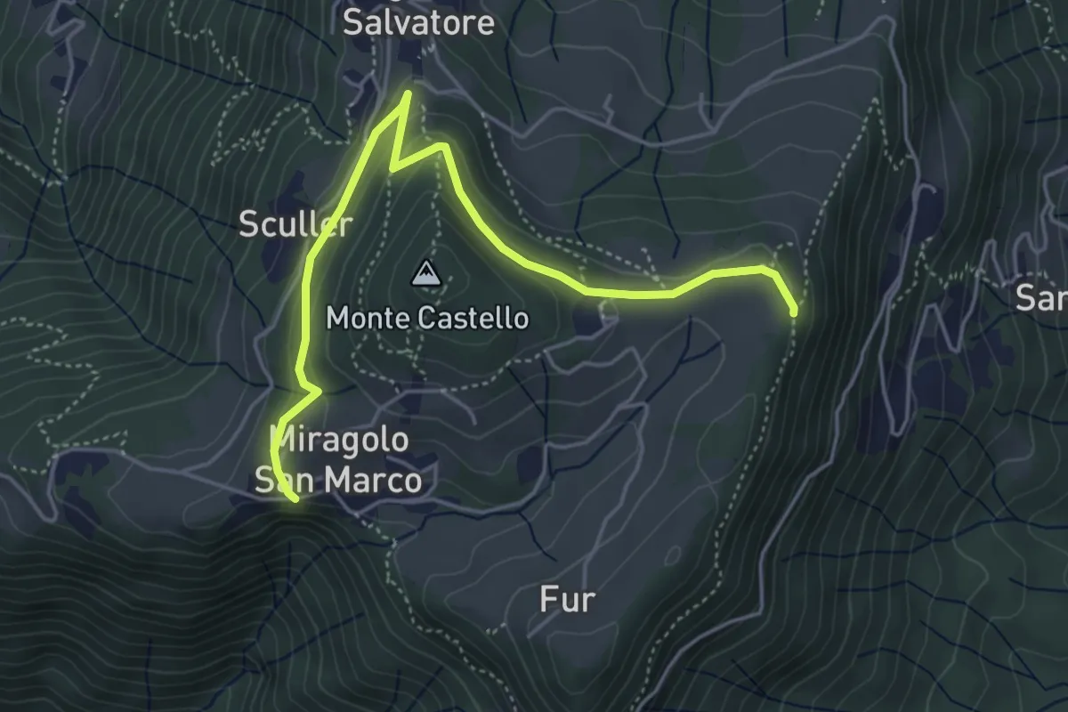
Medium · Trail
Miragolo San Marco – Incrocio H53
5.1 km · ↑ 160 m · 1 h 32 min · 12 km away
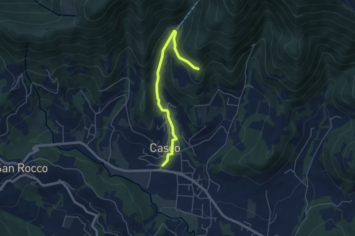
Easy · Trail
Cenate Sopra – Plasso
4.6 km · ↑ 234 m · 1 h 36 min · 13 km away
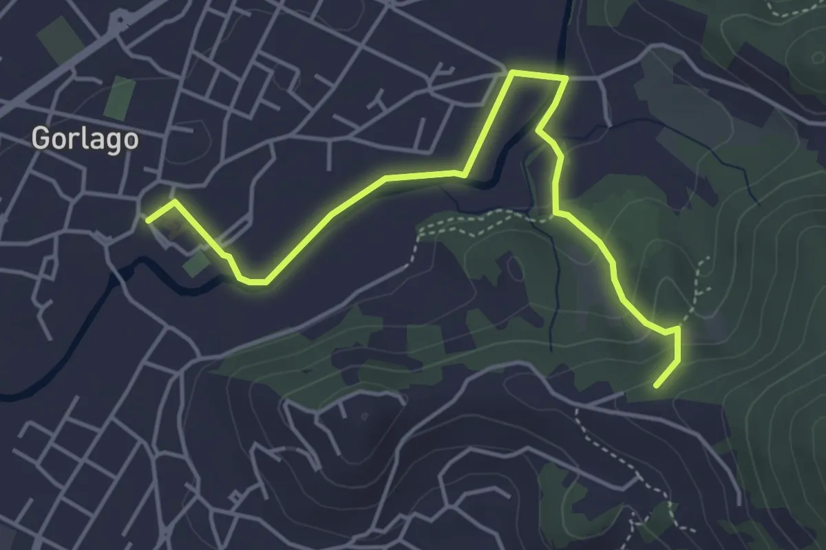
Easy · Trail
Gorlago – Incrocio 650
4.7 km · ↑ 115 m · 1 h 22 min · 13 km away
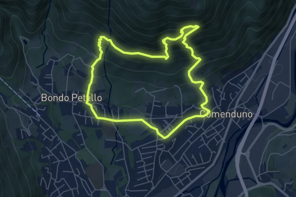
Demanding · Trail
Sentiero 1
5.2 km · ↑ 485 m · 2 h 21 min · 13 km away
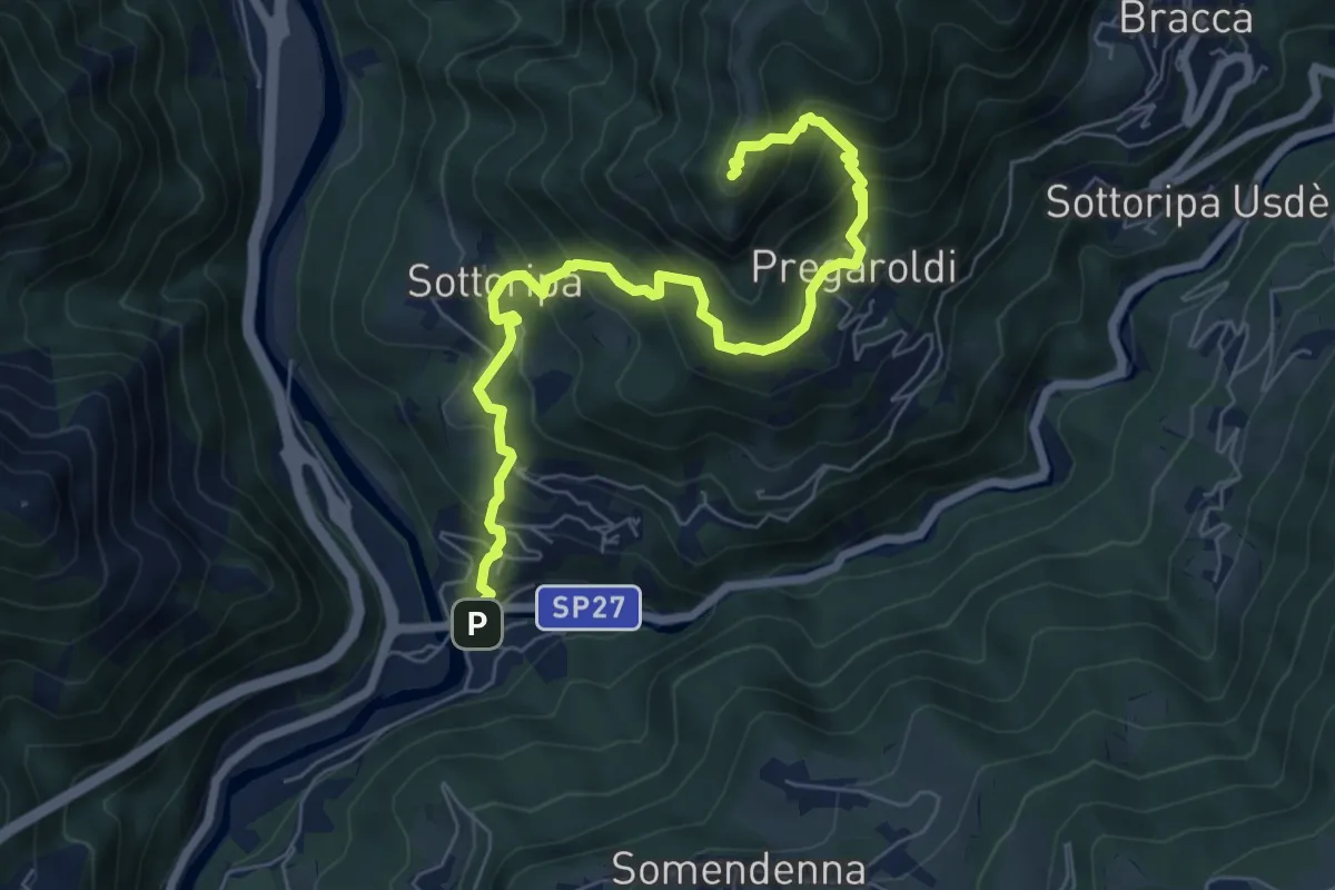
Medium · Summit
Ambria – Pizzo di Spino
7.5 km · ↑ 700 m · 3 h 17 min · 13 km away
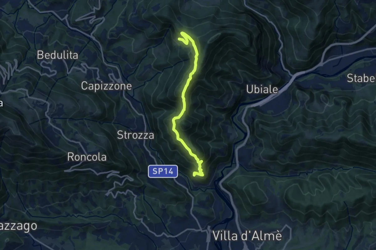
Medium · Trail
Sentiero del Partigiano Angelo Gotti
10.9 km · ↑ 778 m · 4 h 15 min · 13 km away
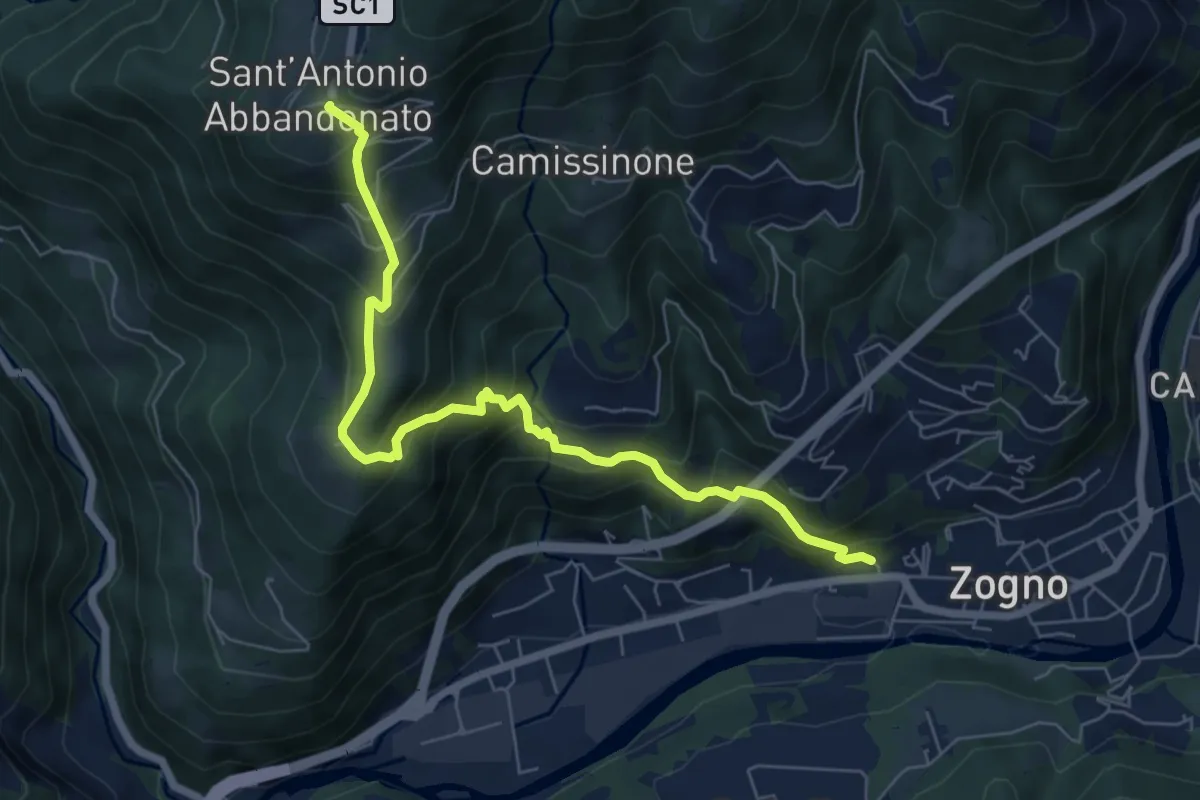
Medium · Trail
Zogno (via Sottocorna) – S. Antonio Abbandonato
7.2 km · ↑ 729 m · 3 h 16 min · 13 km away
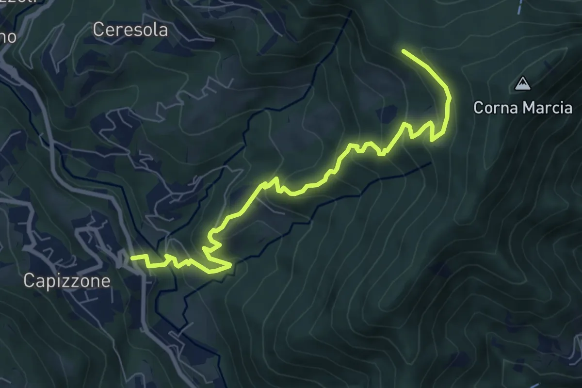
Medium · Trail
Medega (Capizzone) – Passo del Canto
7.9 km · ↑ 565 m · 3 h 5 min · 13 km away
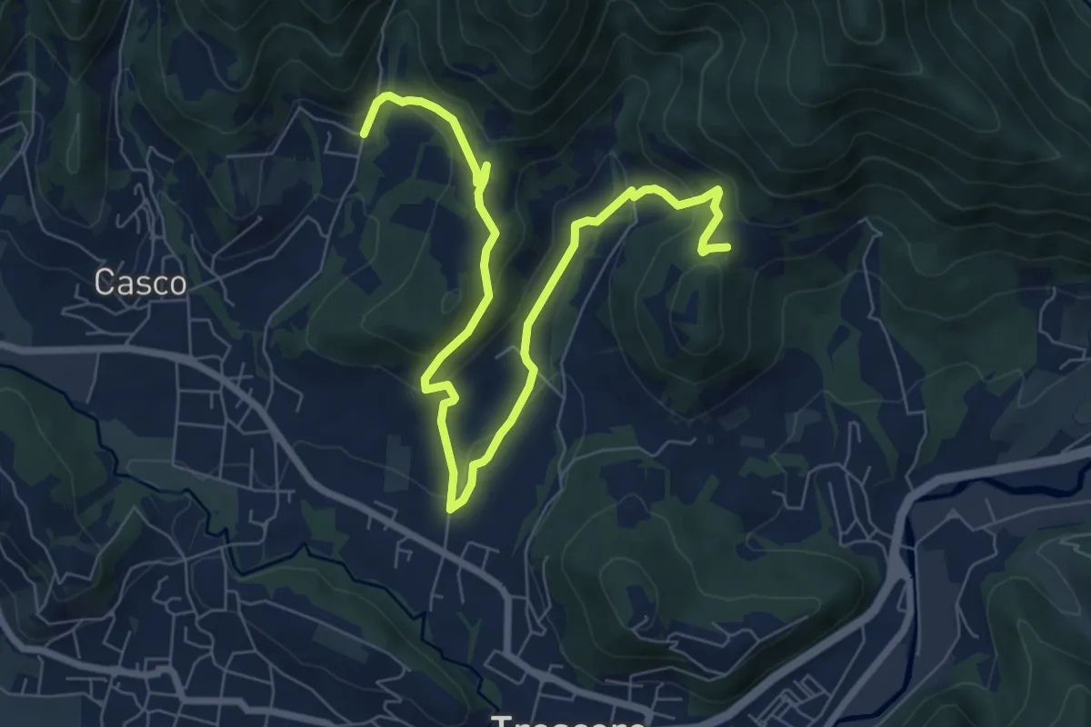
Medium · Trail
S. Ambrogio (Cenate Sopra) – Madonna del Mirabile (Luzzana)
9.2 km · ↑ 355 m · 2 h 56 min · 13 km away
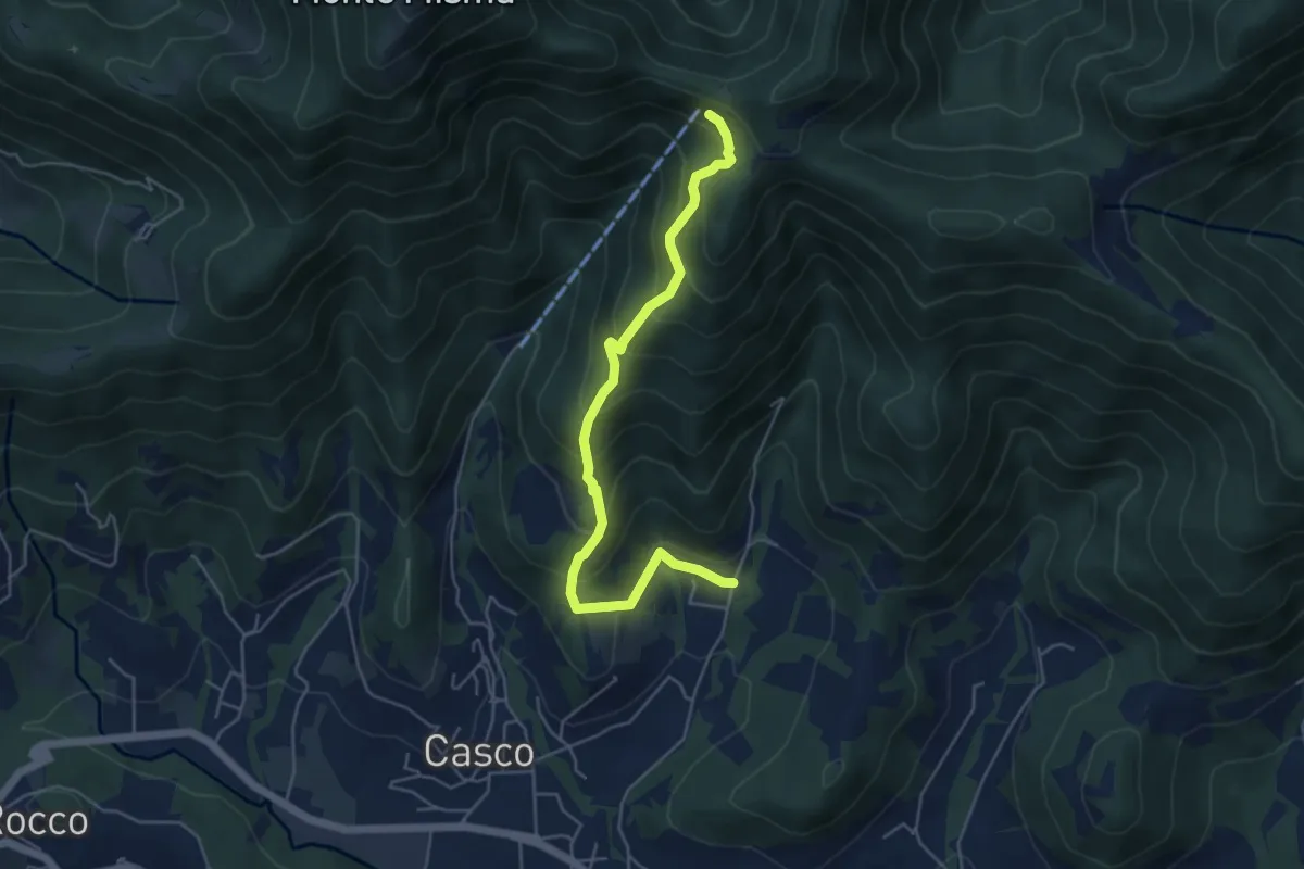
Medium · Cabin
S. Ambrogio (Cenate Sopra) – S. Maria del Misma
5.3 km · ↑ 477 m · 2 h 17 min · 13 km away
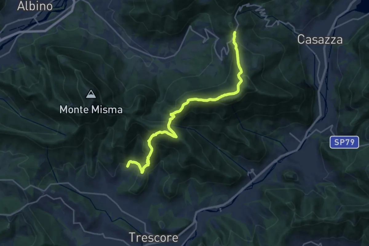
Demanding · Trail
S. Ambrogio (Cenate Sopra) – Colle Gallo
16.1 km · ↑ 1017 m · 6 h 1 min · 13 km away
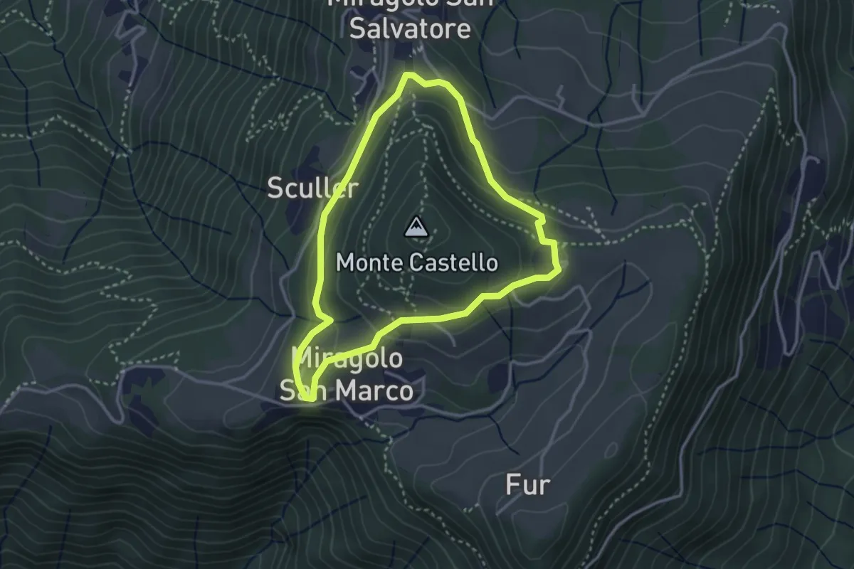
Easy · Trail
Giro del Monte Castello
2.9 km · ↑ 111 m · 58 min · 13 km away
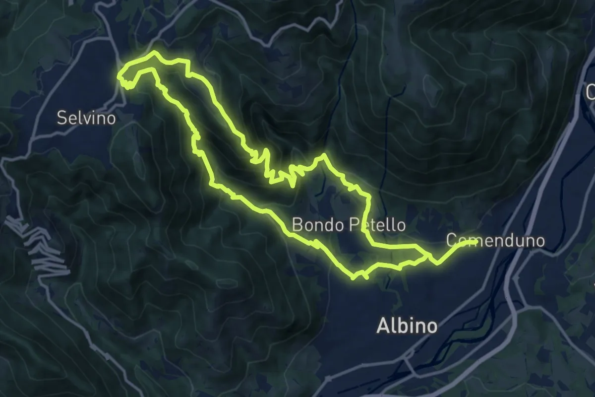
Medium · Summit
Sentiero 5
12.7 km · ↑ 702 m · 4 h 42 min · 13 km away
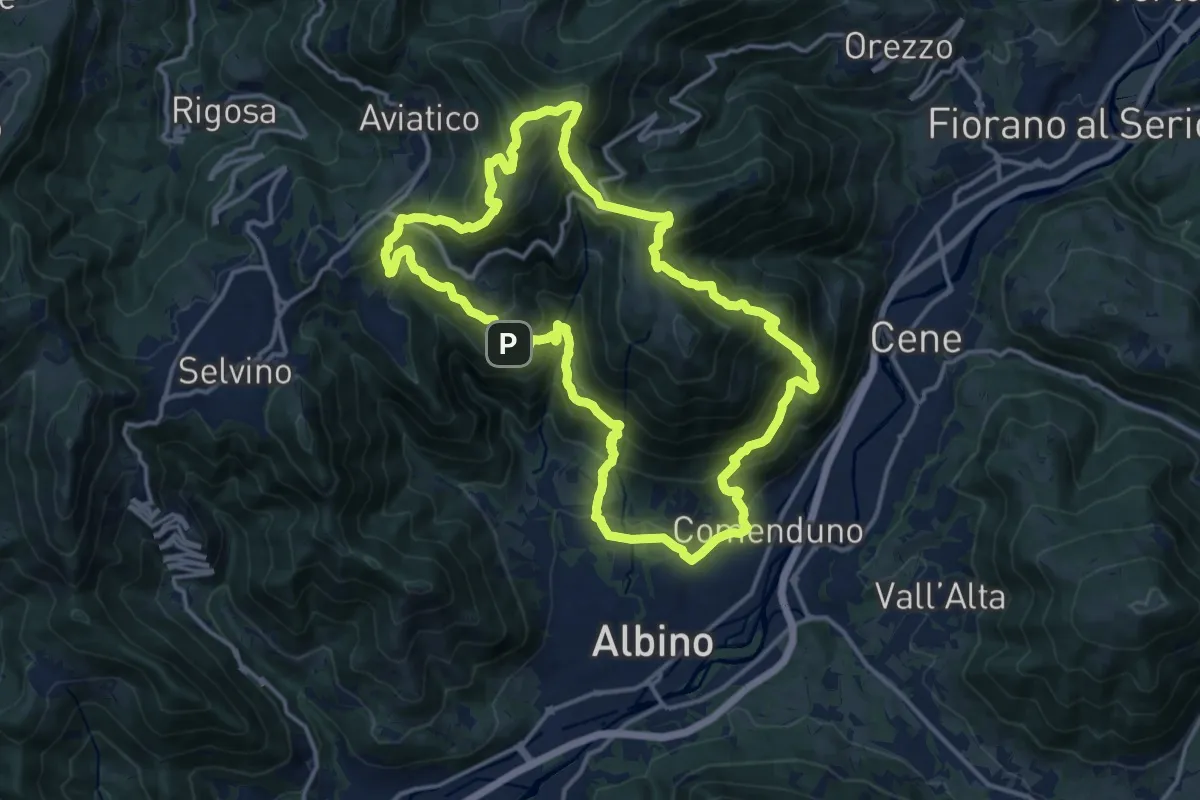
Demanding · Summit
Sentiero 4
15.2 km · ↑ 1092 m · 6 h 9 min · 13 km away
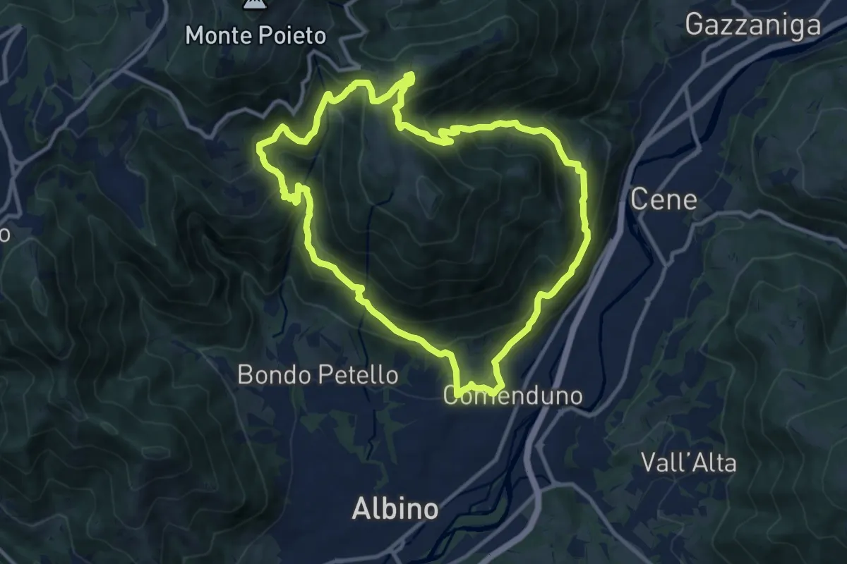
Demanding · Trail
Sentiero 3
10.6 km · ↑ 804 m · 4 h 23 min · 13 km away
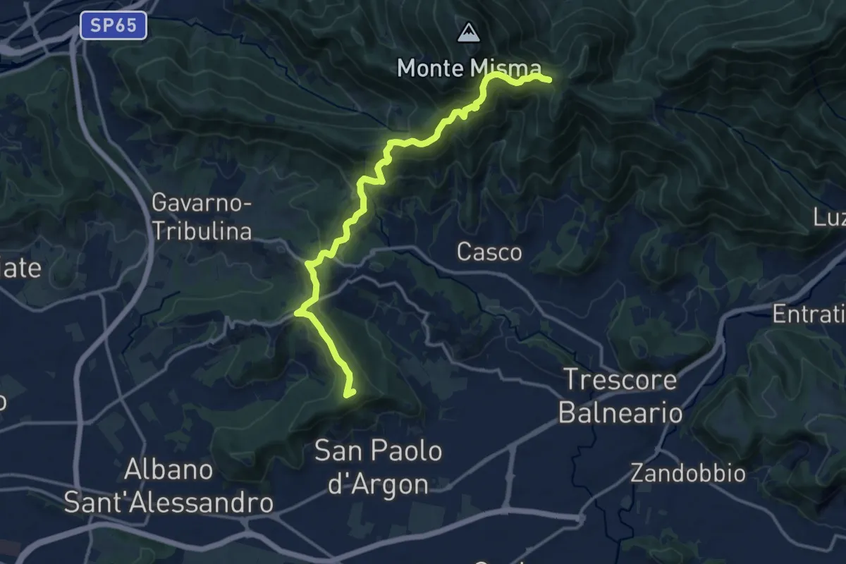
Medium · Summit
Albano S.A. – S. Maria del Misma
14.4 km · ↑ 770 m · 5 h 5 min · 13 km away