Trails near Bergamo
134 hikes starting within 15 km, nearest first.
Nearest first, page 3 of 3
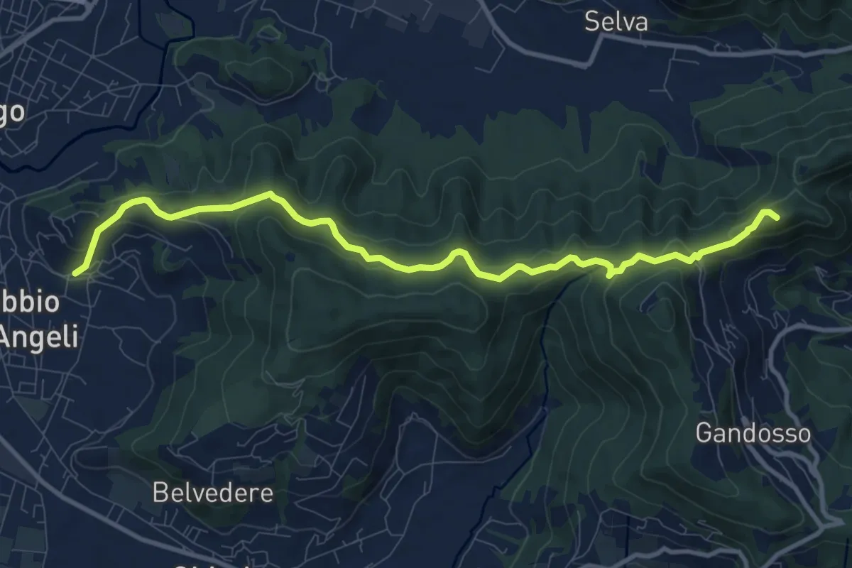
Medium · Summit
Carobbio degli Angeli – San Giovanni delle Formiche
10.6 km · ↑ 442 m · 3 h 27 min · 13 km away
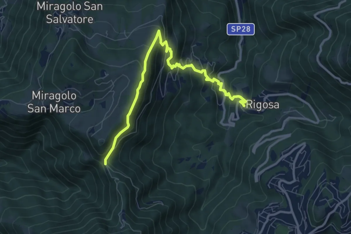
Medium · Trail
Rigosa – Passata
8.5 km · ↑ 576 m · 3 h 15 min · 13 km away
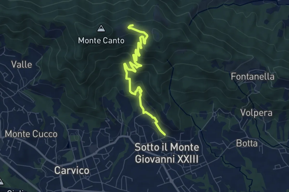
Medium · Trail
Sotto il Monte – Monte Canto (incrocio 891)
7.8 km · ↑ 458 m · 2 h 50 min · 13 km away
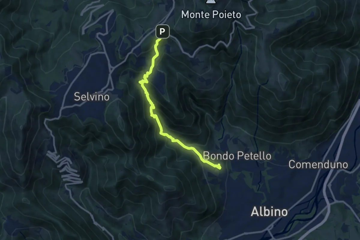
Medium · Trail
Albino – Ama (Aviatico)
8.7 km · ↑ 645 m · 3 h 27 min · 13 km away
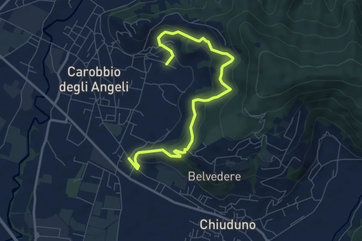
Medium · Trail
Cicola – Santo Stefano
7.8 km · ↑ 443 m · 2 h 49 min · 13 km away
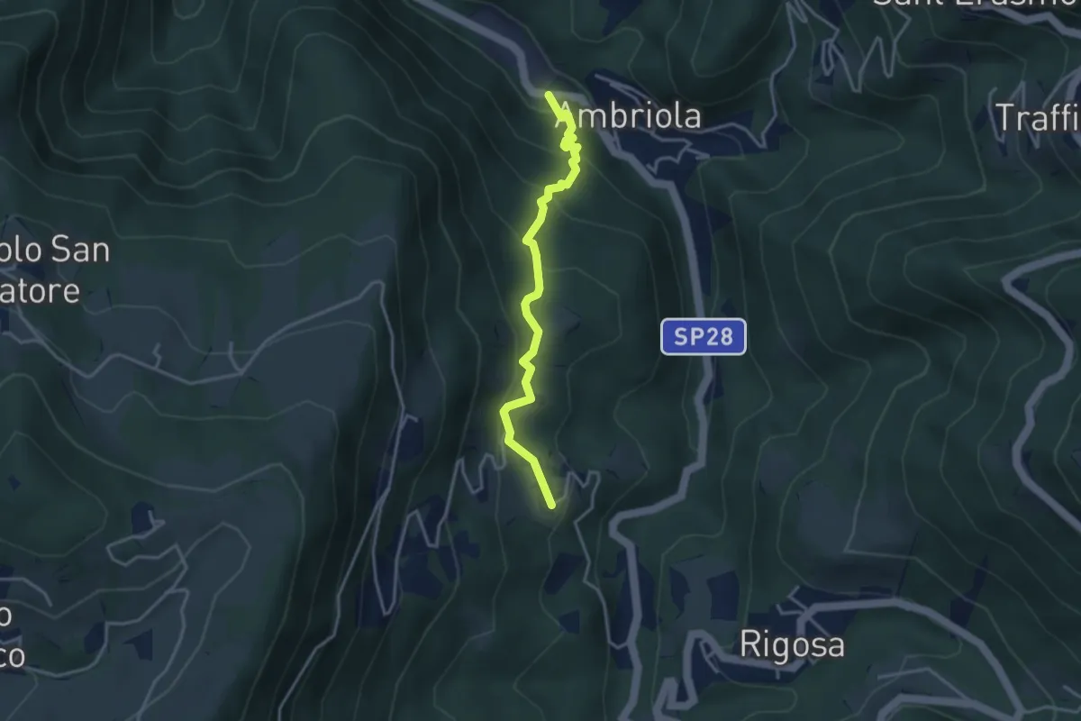
Medium · Trail
Ambriola – Sambusita (Chiesa)
3.3 km · ↑ 268 m · 1 h 21 min · 13 km away
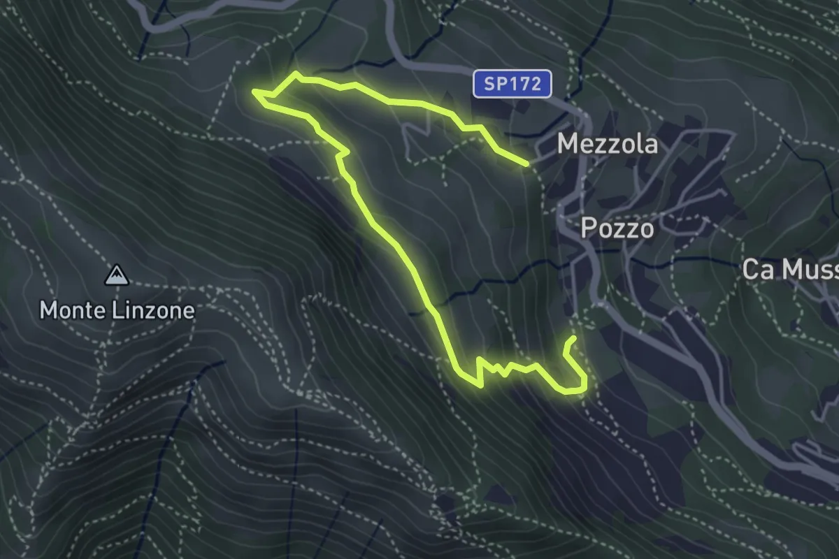
Medium · Trail
Sentiero dei Pascoli
5.2 km · ↑ 310 m · 1 h 54 min · 13 km away
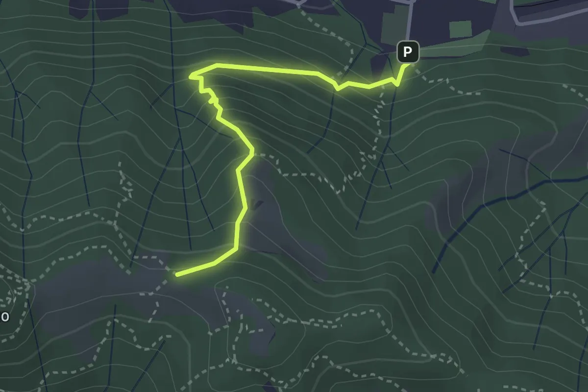
Medium · Trail
Pontida – Il Canto (incrocio 891)
3.1 km · ↑ 308 m · 1 h 23 min · 13 km away
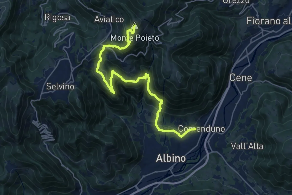
Demanding · Summit
Comenduno (Albino) – Monte Poieto
19.0 km · ↑ 1177 m · 7 h 3 min · 13 km away
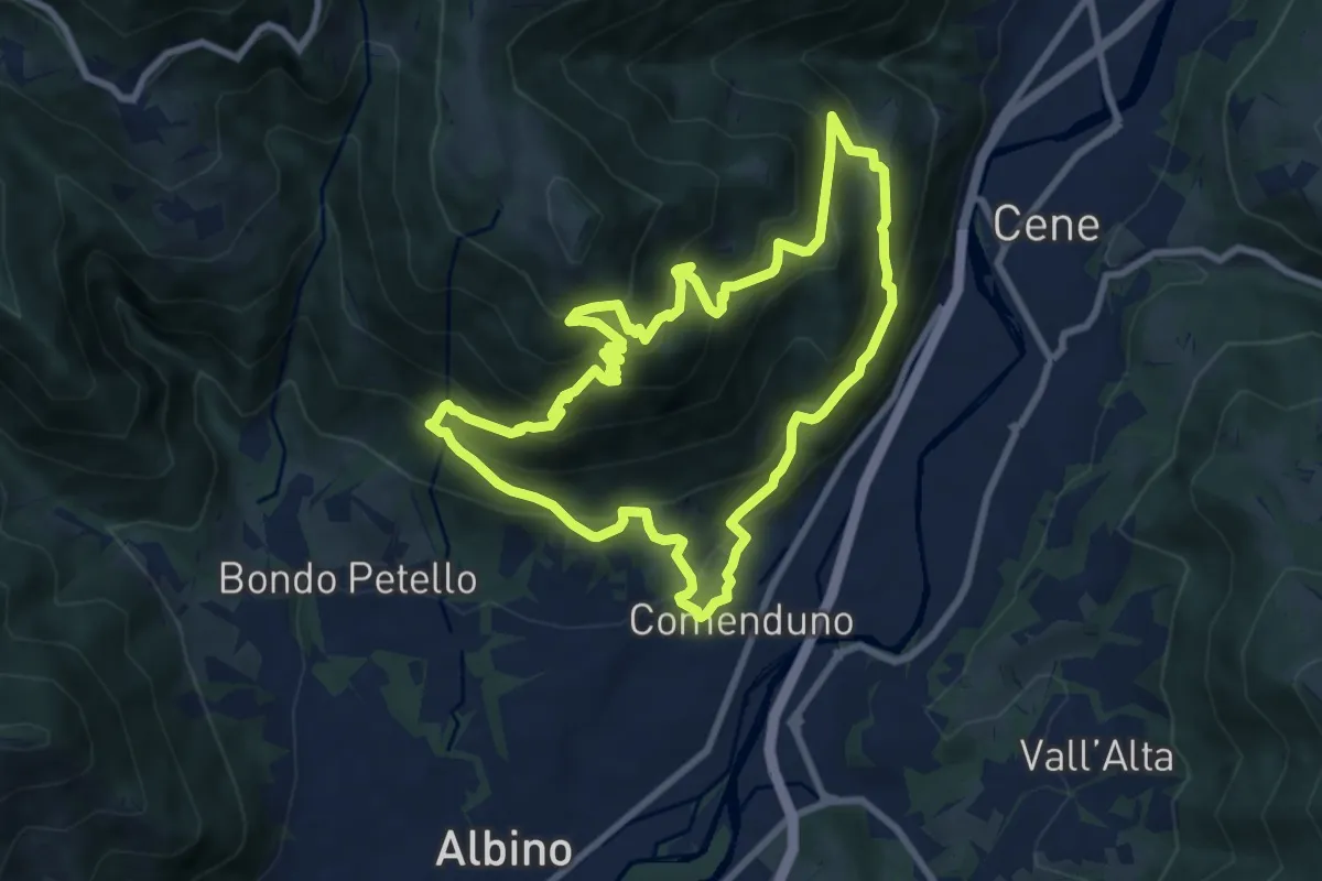
Demanding · Trail
Sentiero Agostino Noris
8.5 km · ↑ 767 m · 3 h 46 min · 13 km away
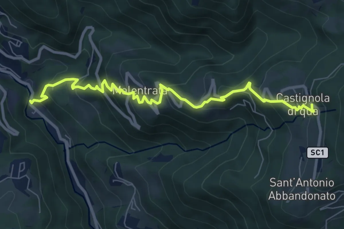
Medium · Trail
Magnavacche – Castignola di quà
7.3 km · ↑ 582 m · 2 h 59 min · 14 km away
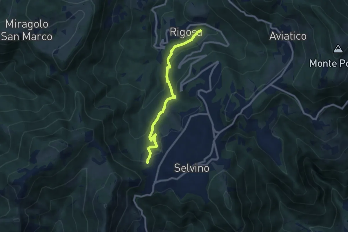
Medium · Trail
Rigosa (Vecchio Mulino) – Selvino
6.1 km · ↑ 392 m · 2 h 17 min · 14 km away
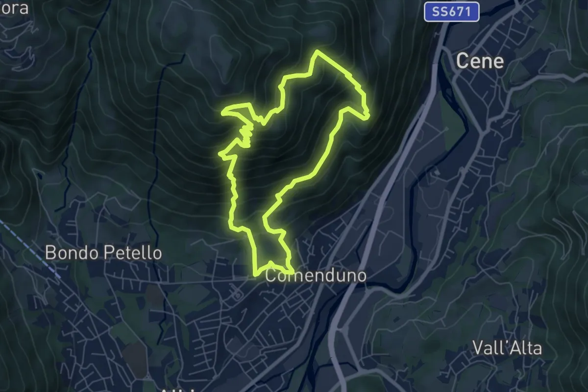
Demanding · Trail
Sentiero 2
6.4 km · ↑ 687 m · 3 h 5 min · 14 km away
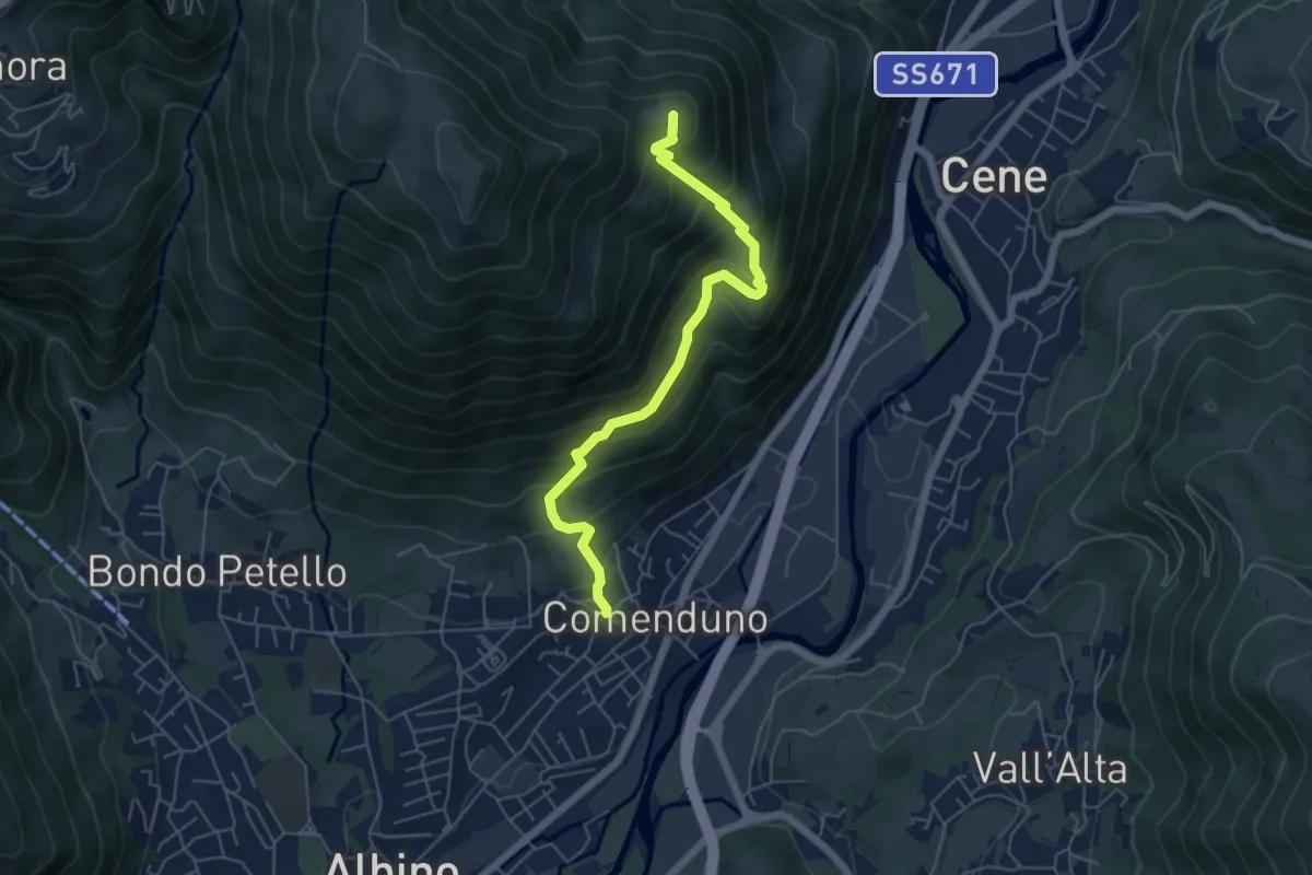
Medium · Summit
Comenduno (Albino) – Ganda
5.7 km · ↑ 511 m · 2 h 27 min · 14 km away
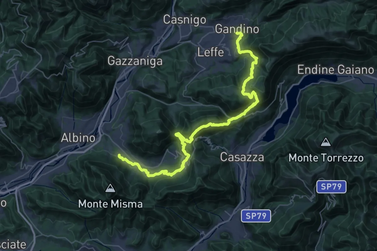
Demanding · Trail
Alta Via delle Grazie - Tappa 12
19.3 km · ↑ 1101 m · 7 h 8 min · 14 km away
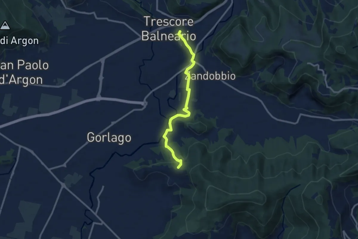
Easy · Trail
Trescore Balneario – Carobbio degli Angeli (incrocio 650)
7.6 km · ↑ 174 m · 2 h 10 min · 14 km away
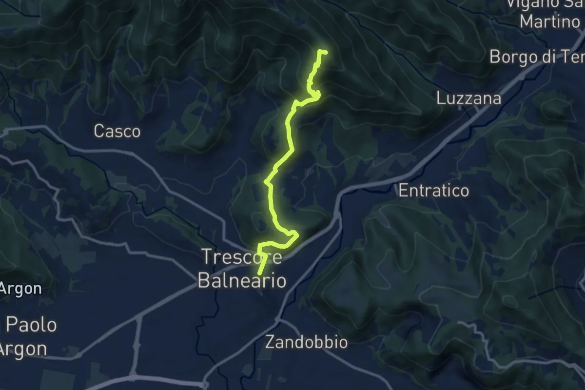
Medium · Summit
Trescore Balneario – Pizzo Casgnola
8.8 km · ↑ 574 m · 3 h 19 min · 14 km away
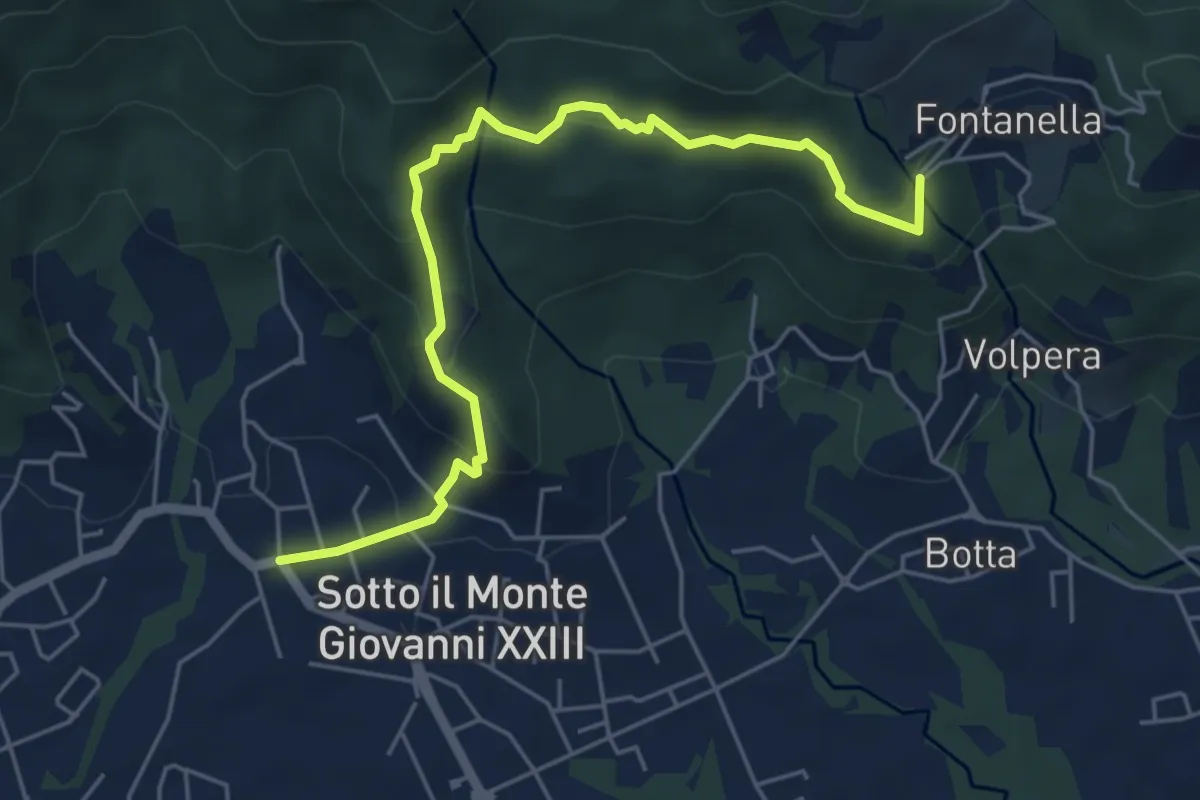
Easy · Trail
Sotto il Monte – Fontanella (incrocio 892)
5.8 km · ↑ 311 m · 2 h 3 min · 14 km away
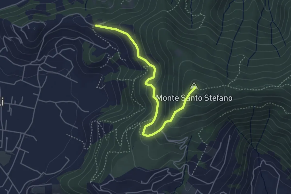
Medium · Summit
Duria – Boca di senter
4.3 km · ↑ 266 m · 1 h 35 min · 14 km away
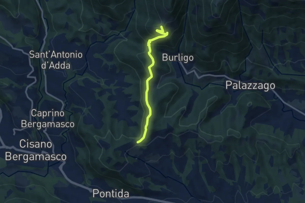
Medium · Summit
Gronfaleggio – Col Pedrino
6.5 km · ↑ 368 m · 2 h 20 min · 14 km away
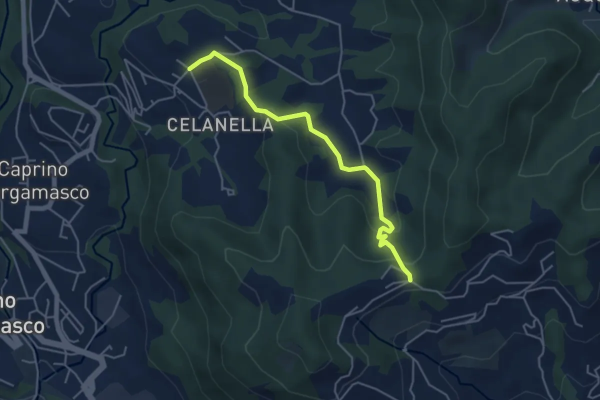
Easy · Trail
Gronfaleggio – Celana
4.0 km · ↑ 148 m · 1 h 16 min · 14 km away
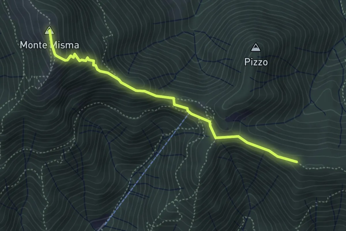
Medium · Summit
Bivio Corna Clima (Luzzana) – Monte Misma
4.5 km · ↑ 378 m · 1 h 53 min · 14 km away
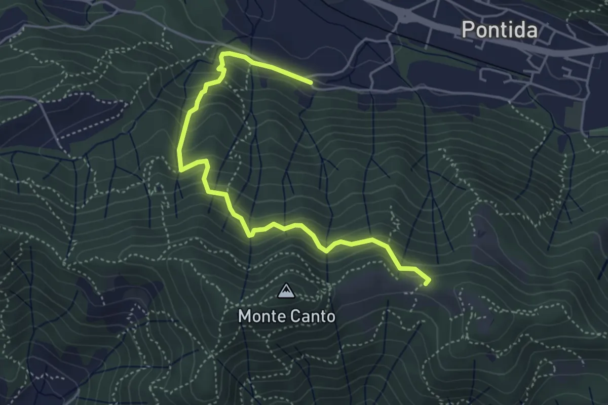
Medium · Trail
Pontida (Santuario San Giuseppe) – Il Canto (incrocio 897)
4.9 km · ↑ 429 m · 2 h 5 min · 14 km away
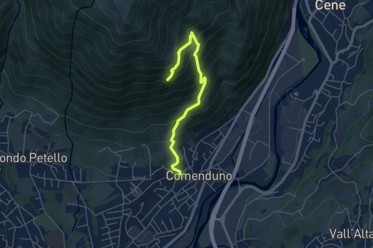
Demanding · Trail
Sentiero della Barchéssa Antonio Manganoni
4.6 km · ↑ 546 m · 2 h 16 min · 14 km away
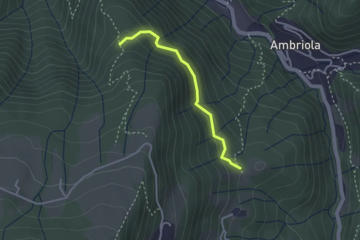
Demanding · Trail
Incrocio H51 – Incrocio H52
2.3 km · ↑ 197 m · 58 min · 14 km away
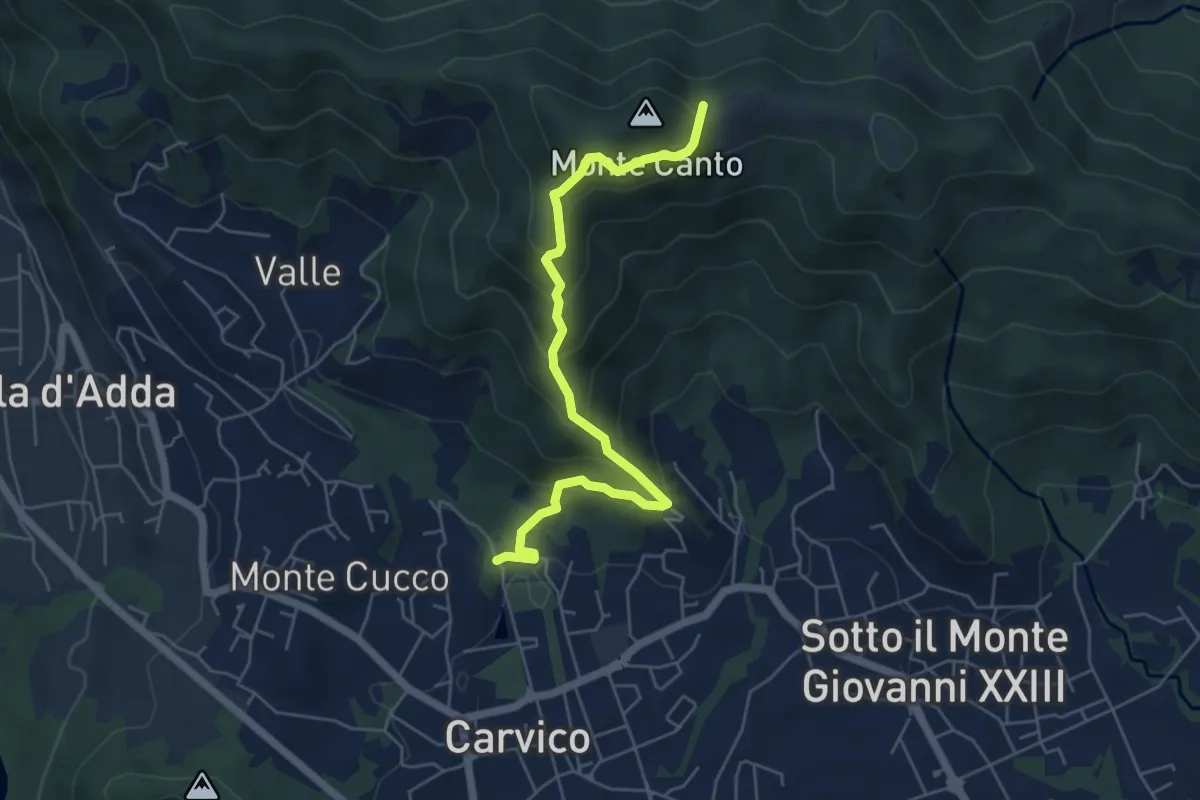
Medium · Trail
Carvico – Il Canto (incrocio 891)
5.7 km · ↑ 438 m · 2 h 18 min · 14 km away
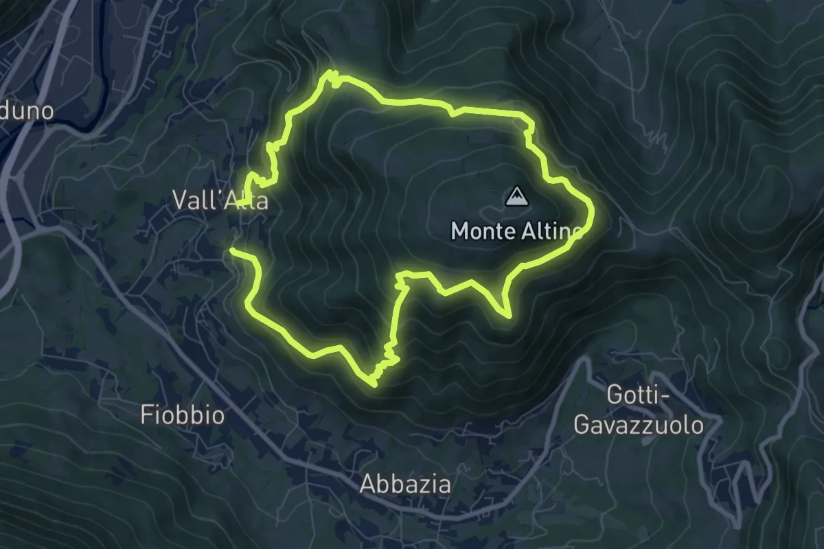
Medium · Trail
Vall'Alta (Albino) – Vall'Alta (Albino)
7.9 km · ↑ 605 m · 3 h 16 min · 14 km away
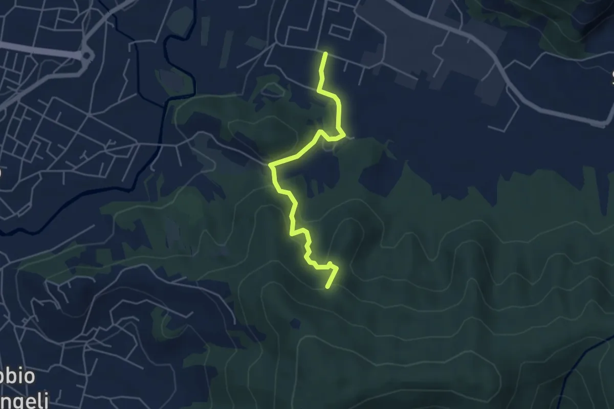
Easy · Trail
Zandobbio – Incrocio 650
4.4 km · ↑ 193 m · 1 h 27 min · 15 km away
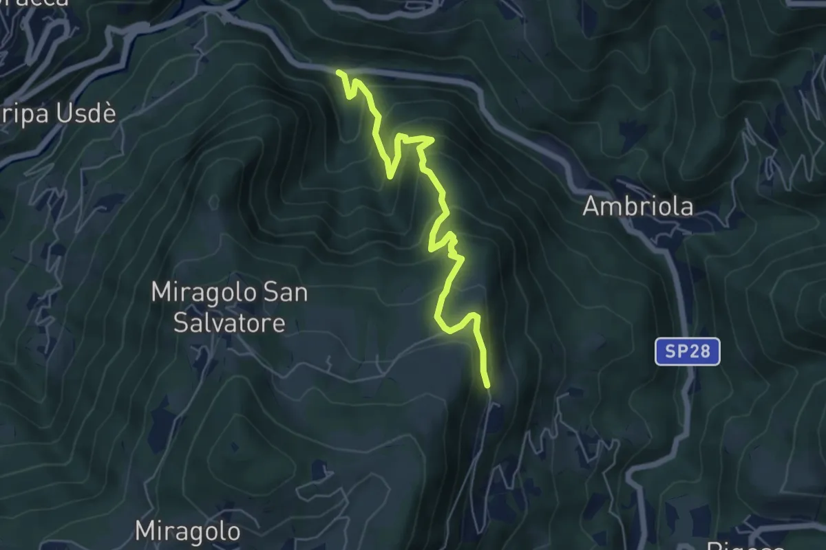
Medium · Trail
Algua – Sambusita alta (Case di Sopra)
5.6 km · ↑ 528 m · 2 h 28 min · 15 km away
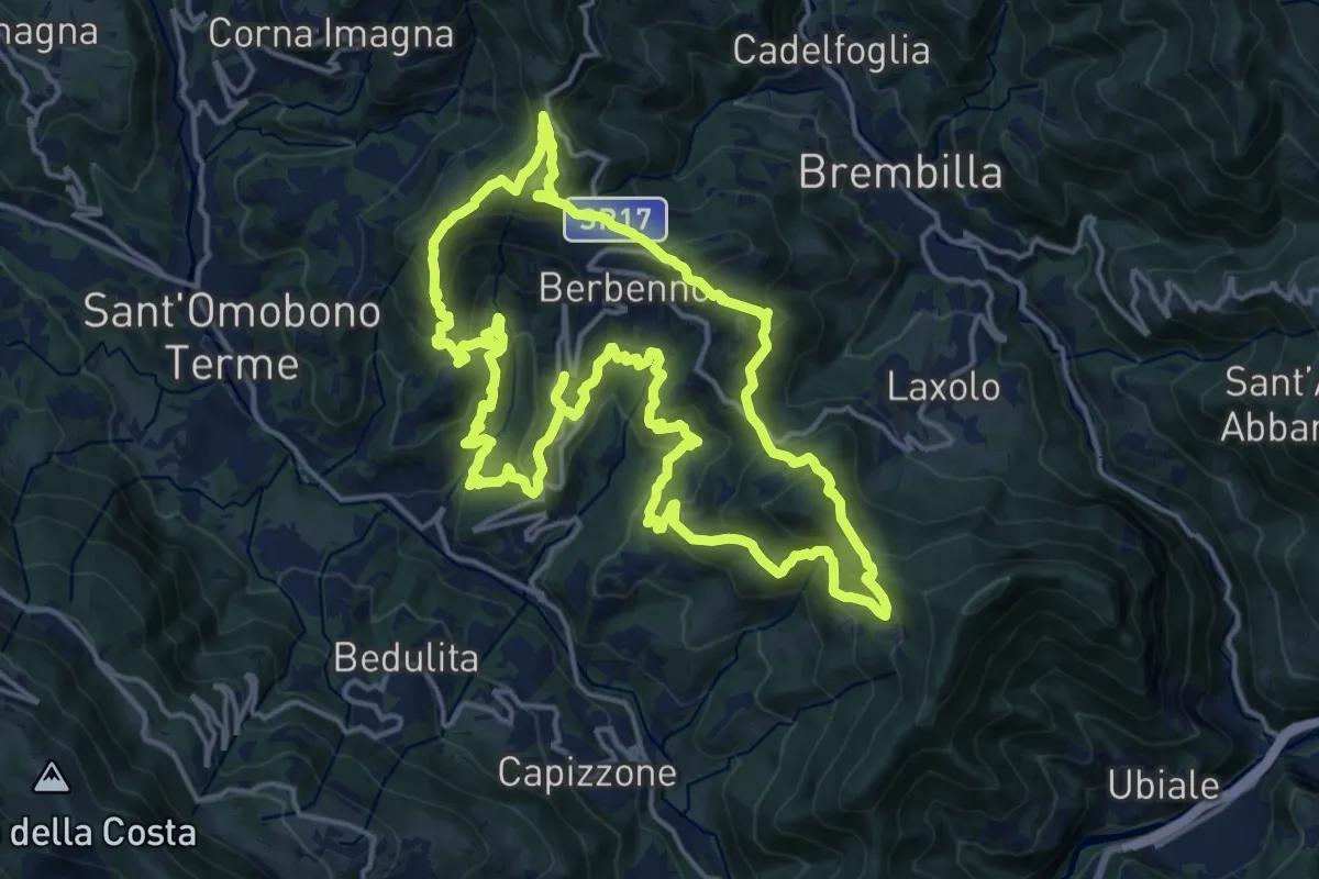
Demanding · Summit
Antiche Tracce
17.5 km · ↑ 1026 m · 6 h 37 min · 15 km away
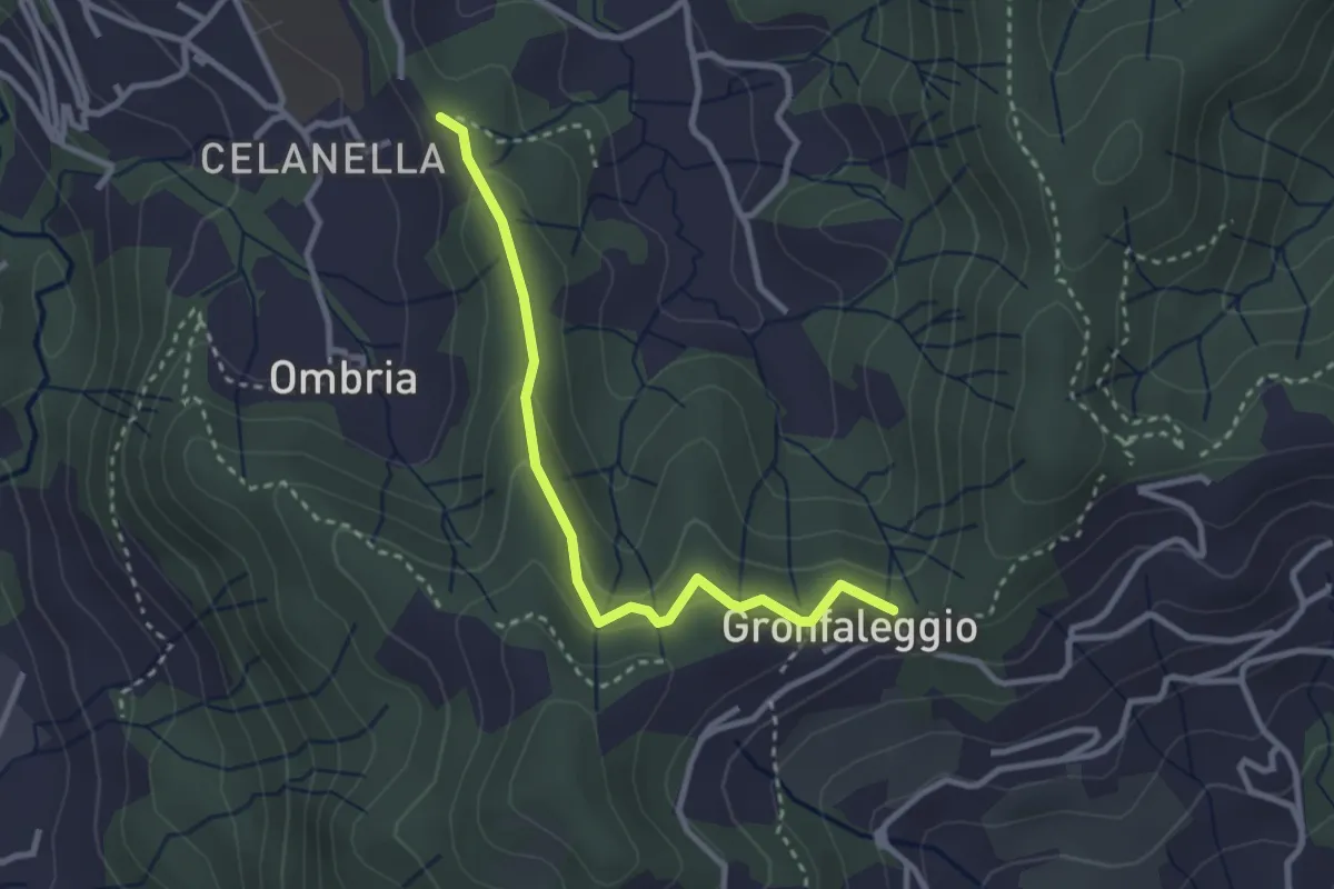
Easy · Trail
Celana – Gronfaleggio
2.9 km · ↑ 126 m · 58 min · 15 km away
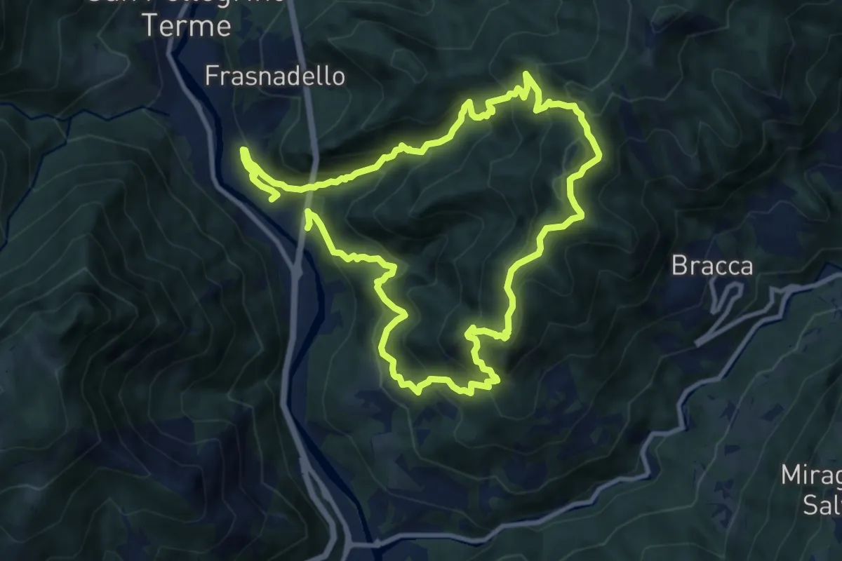
Expert · Summit
Pregalleno (San Pellegrino Terme) – Pregalleno
9.0 km · ↑ 836 m · 4 h 4 min · 15 km away
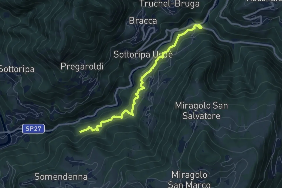
Medium · Trail
Strada Birocciabile
7.0 km · ↑ 440 m · 2 h 36 min · 15 km away
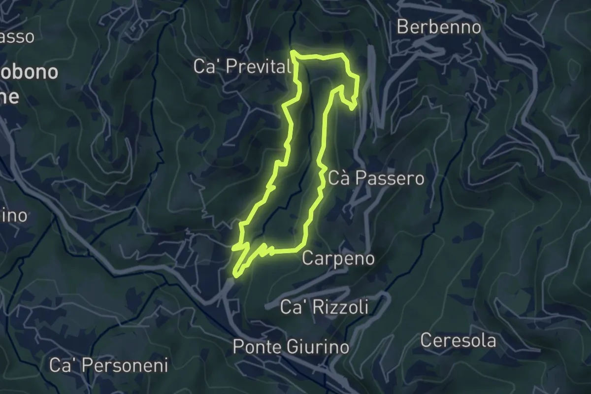
Easy · Trail
Valle del Brunone Percorso C
4.4 km · ↑ 243 m · 1 h 38 min · 15 km away
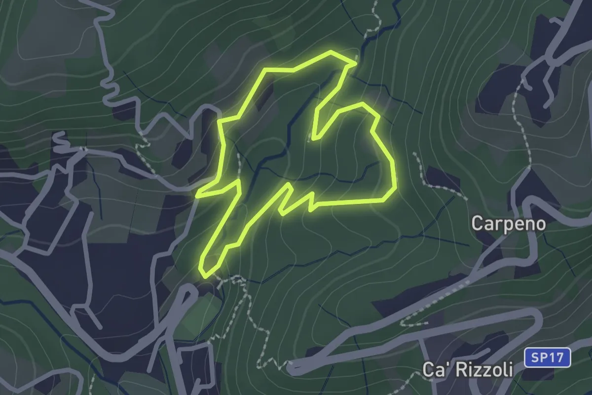
Easy · Trail
Valle del Brunone Percorso B
2.0 km · ↑ 92 m · 41 min · 15 km away
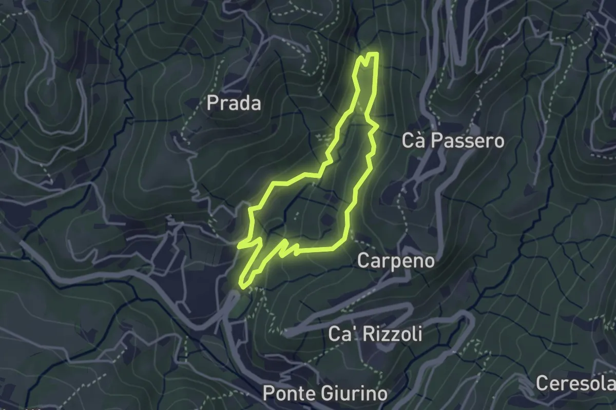
Easy · Trail
Valle del Brunone Percorso C1
3.0 km · ↑ 111 m · 59 min · 15 km away
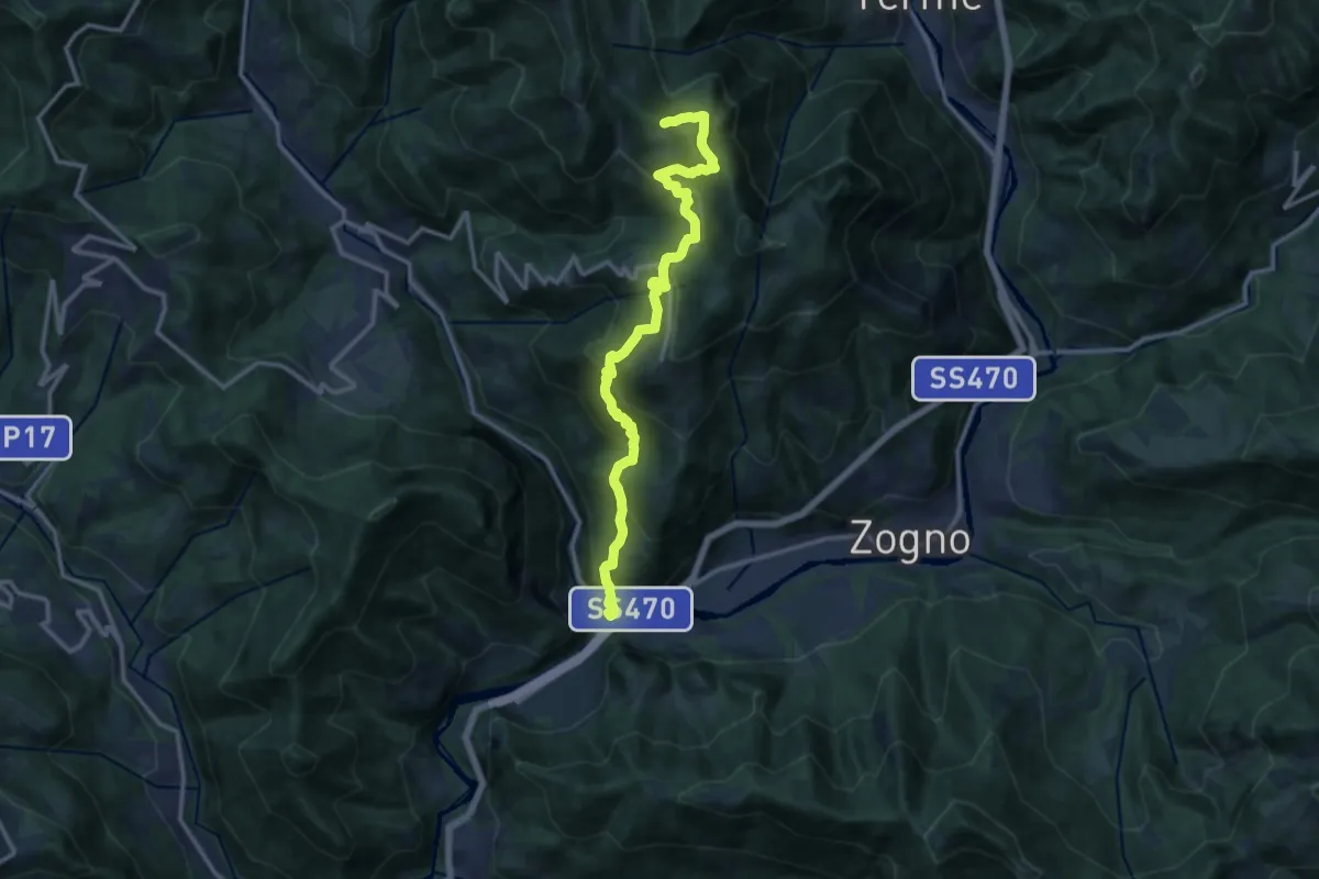
Demanding · Trail
Strada Taverna
13.8 km · ↑ 1035 m · 5 h 30 min · 15 km away
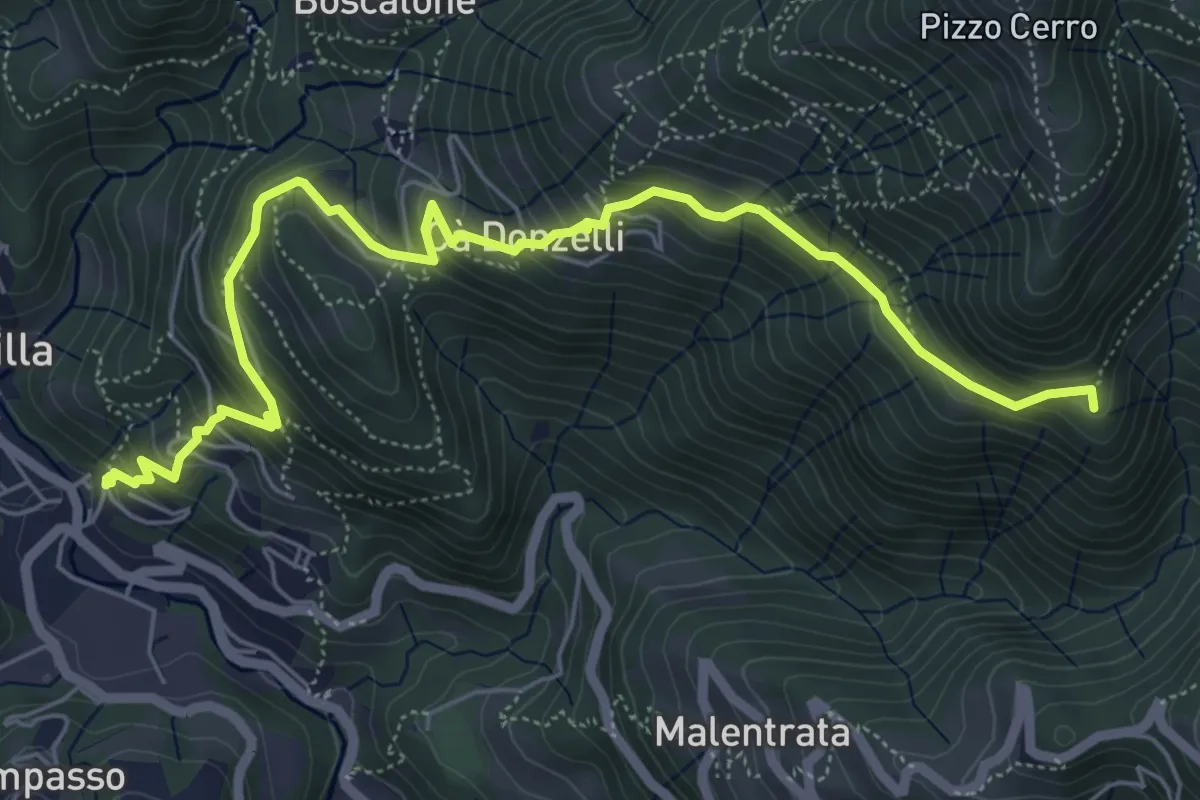
Medium · Summit
Brembilla – Catremerio
7.1 km · ↑ 585 m · 2 h 57 min · 15 km away