Trails near Bibbiena
121 hikes starting within 15 km, nearest first.
Nearest first, page 1 of 3
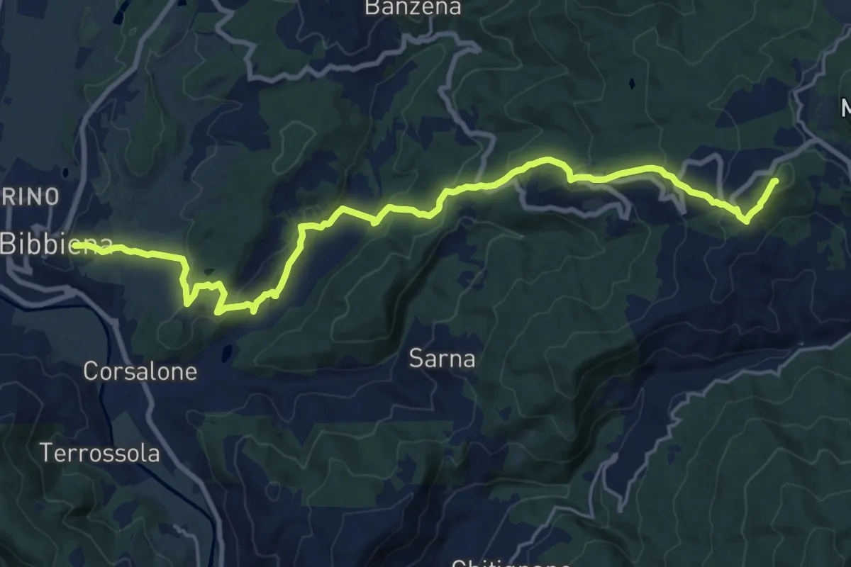
Demanding · Summit
Bibbiena – Innesto Sentiero 50 presso La Beccia
21.9 km · ↑ 1003 m · 7 h 21 min · under 1 km away
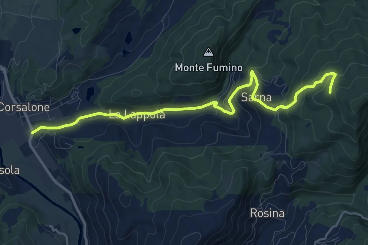
Medium · Trail
Corsalone – Sentiero 33 ad 1km da Sarna
12.5 km · ↑ 504 m · 4 h 2 min · 2 km away
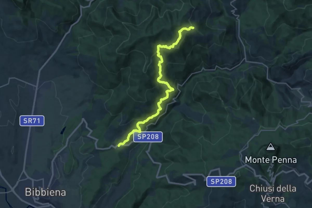
Demanding · Trail
Sentiero 070 presso Frassineta – SP 208 presso Caselle
18.4 km · ↑ 912 m · 6 h 20 min · 4 km away
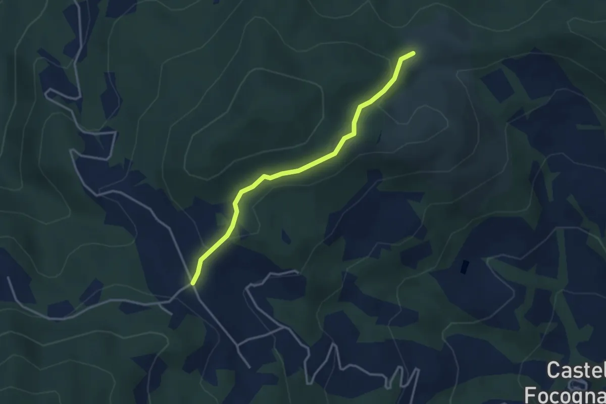
Easy · Trail
Sentiero 30 presso Casa Giuncaine – Sentiero 31 presso Casa Magona
3.2 km · ↑ 87 m · 57 min · 4 km away
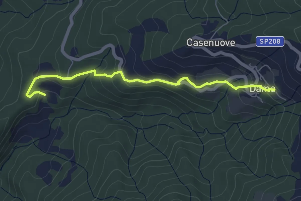
Easy · Trail
Via Vecchia Camparsolina Dama
5.5 km · ↑ 214 m · 1 h 45 min · 5 km away
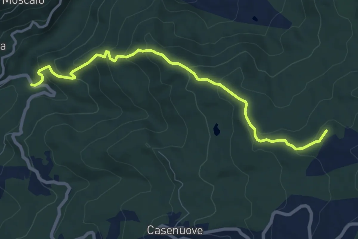
Medium · Summit
SS208 nei pressi di Banzena – La Beccia
8.6 km · ↑ 498 m · 3 h 7 min · 5 km away
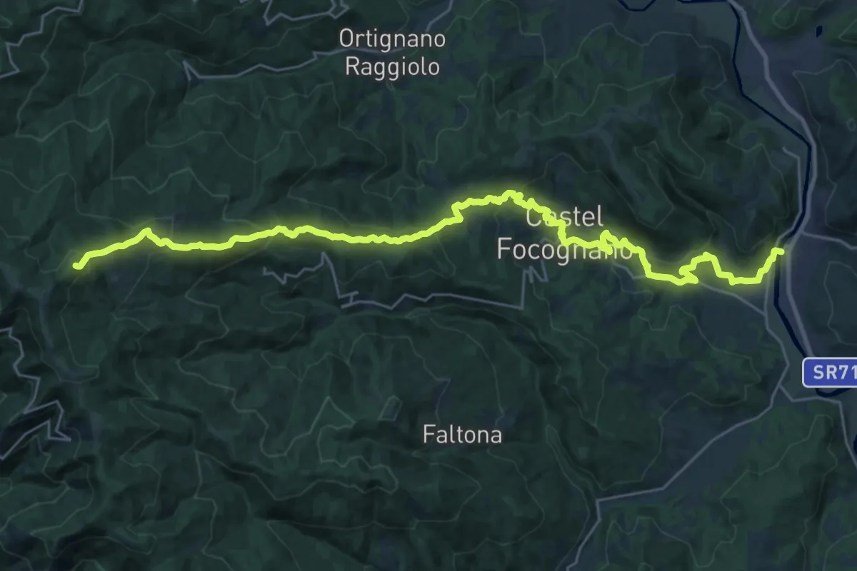
Demanding · Summit
Rassina – Innesto Sentiero 00 presso Poggio Massarecci
33.2 km · ↑ 1475 m · 11 h 2 min · 5 km away
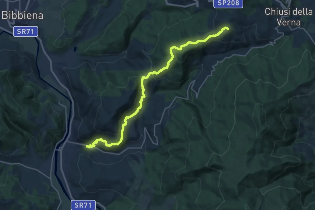
Demanding · Summit
Rassina – Sentiero 044 presso La Verna
18.0 km · ↑ 897 m · 6 h 12 min · 5 km away
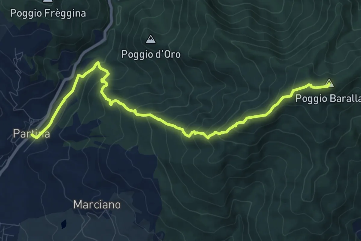
Medium · Summit
Partina – Le Quattro Vie presso Frassineta
11.9 km · ↑ 759 m · 4 h 27 min · 6 km away
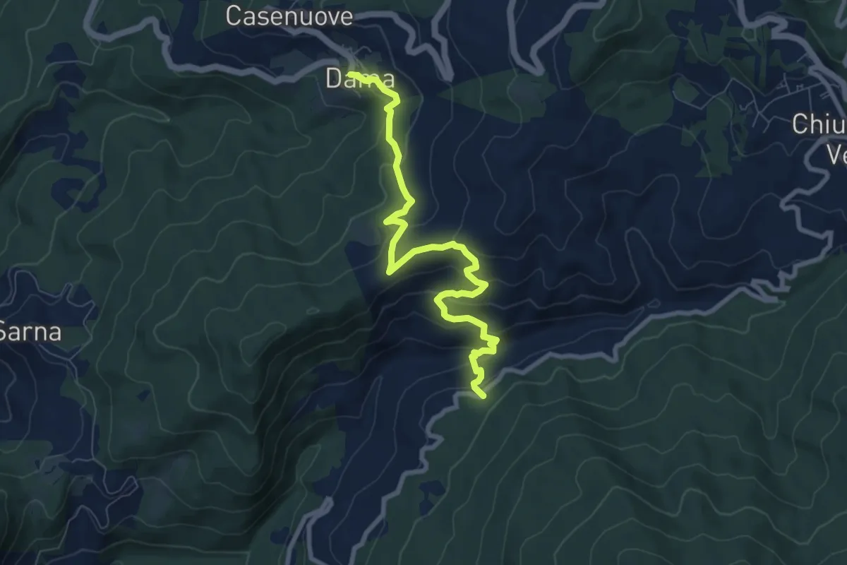
Medium · Trail
Dama – SP60 presso Villa Minerva
8.5 km · ↑ 469 m · 3 h 2 min · 6 km away
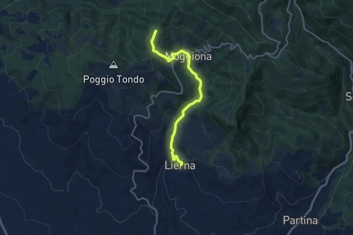
Medium · Summit
Lierna – Asqua
9.2 km · ↑ 380 m · 3 h · 8 km away
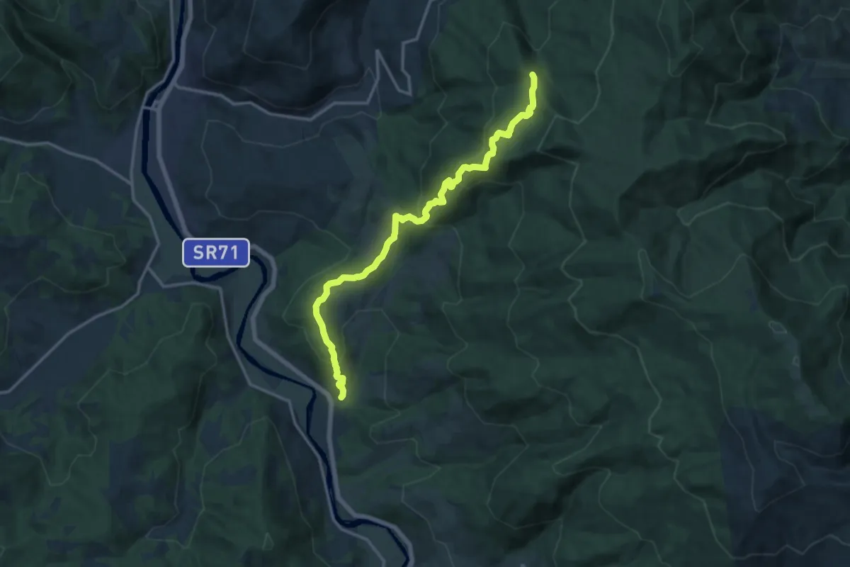
Medium · Trail
Calbenzano – Sentiero 028
14.6 km · ↑ 711 m · 4 h 59 min · 8 km away
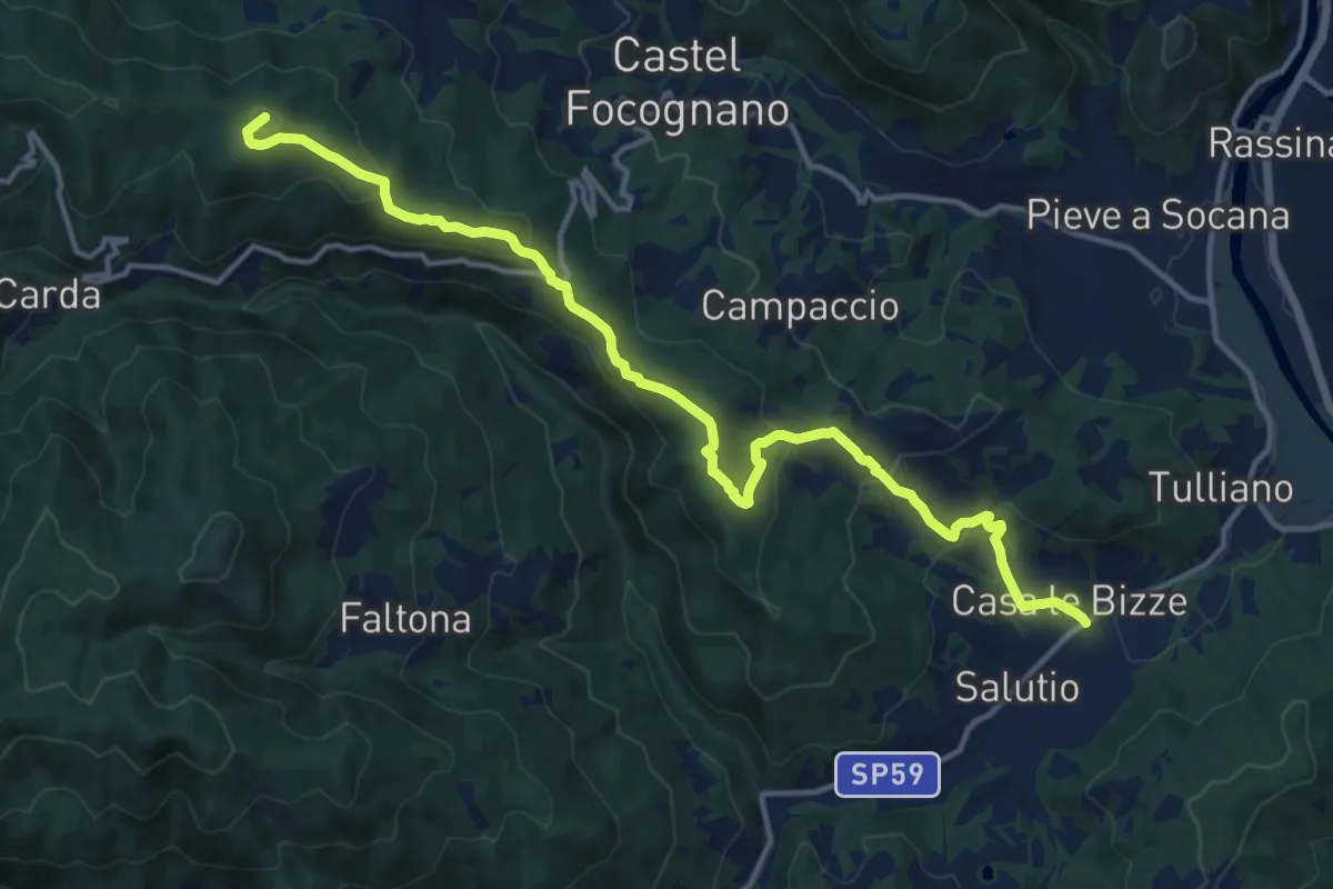
Medium · Summit
SP59 presso Salutio – Sentiero 31 (931) presso Poggio Civitella
16.2 km · ↑ 724 m · 5 h 23 min · 8 km away
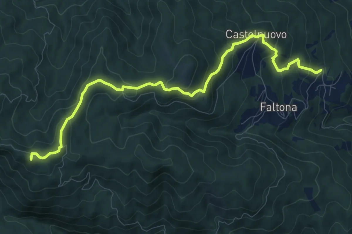
Medium · Summit
La Villa di Faltona – Innesto sentiero 938 a 0,5 km da Passo della Forca
11.3 km · ↑ 542 m · 3 h 50 min · 8 km away
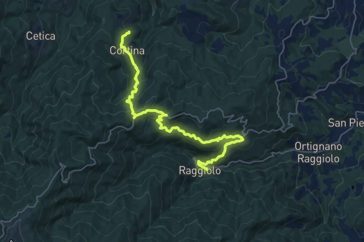
Demanding · Trail
Innesto Sentiero 930 presso Raggiolo – Innesto Sentiero 929 presso Garliano
20.2 km · ↑ 1027 m · 7 h · 9 km away
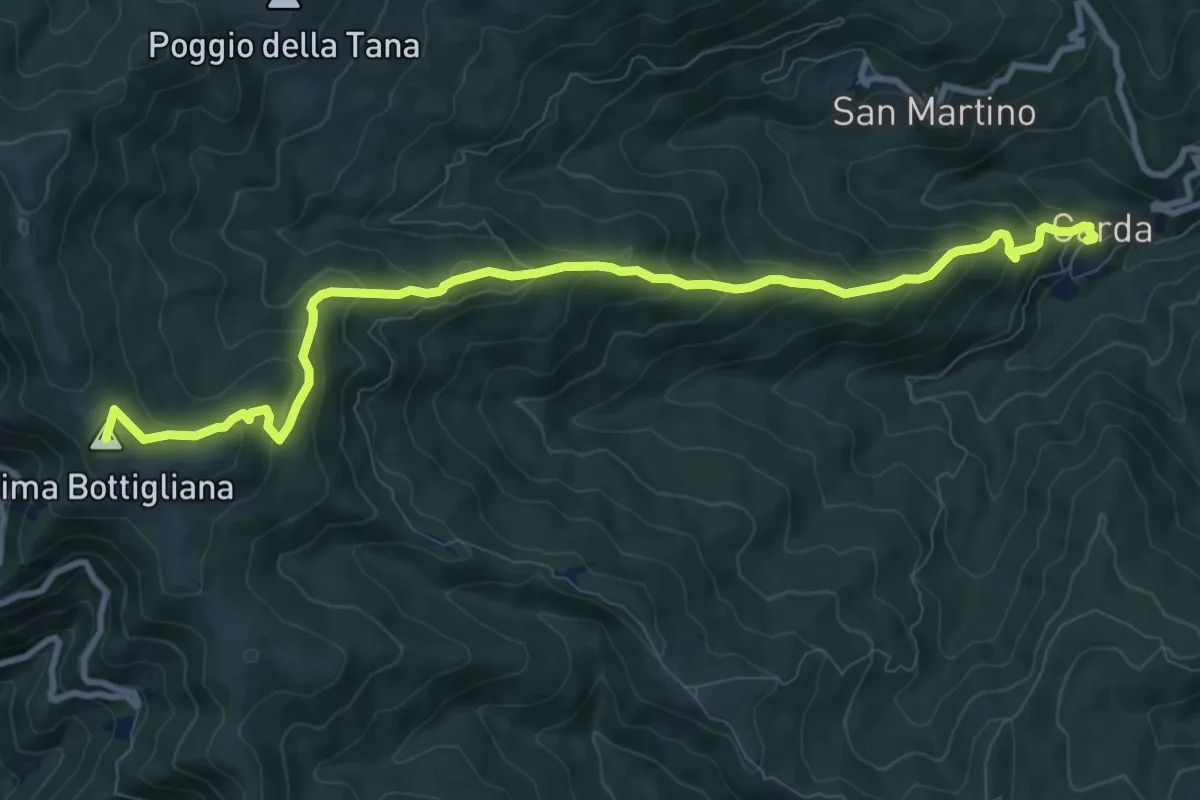
Medium · Summit
Carda – Innesto Sentiero 900 presso Cima Bottigliana
11.3 km · ↑ 763 m · 4 h 20 min · 9 km away
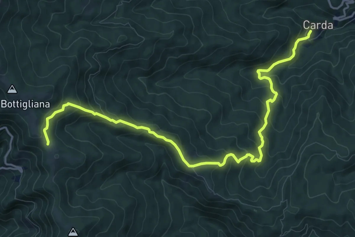
Medium · Trail
Carda – Innesto Sentiero 900 presso loc. La Pescina
14.0 km · ↑ 744 m · 4 h 55 min · 9 km away
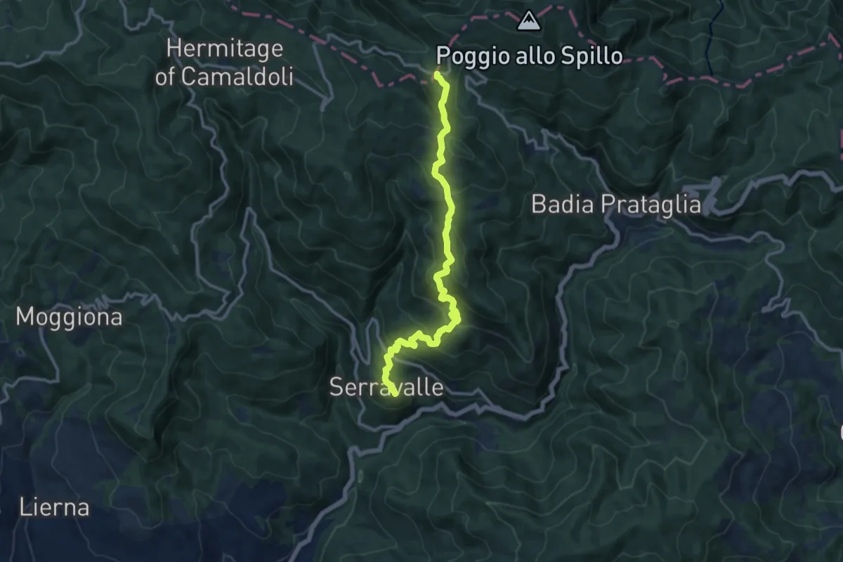
Medium · Cabin
Cerreta – Passo dei Fangacci
11.9 km · ↑ 728 m · 4 h 23 min · 9 km away
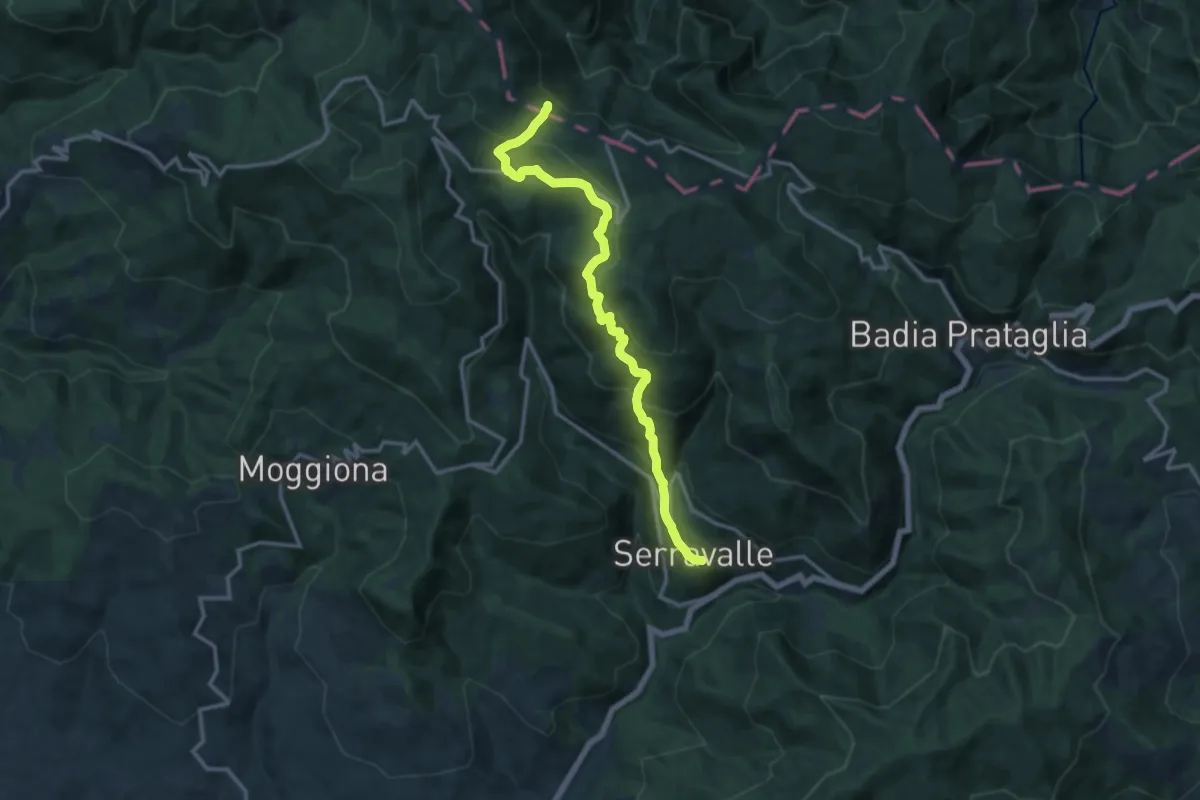
Demanding · Trail
Serravalle – Gioghetto
13.7 km · ↑ 874 m · 5 h 8 min · 9 km away
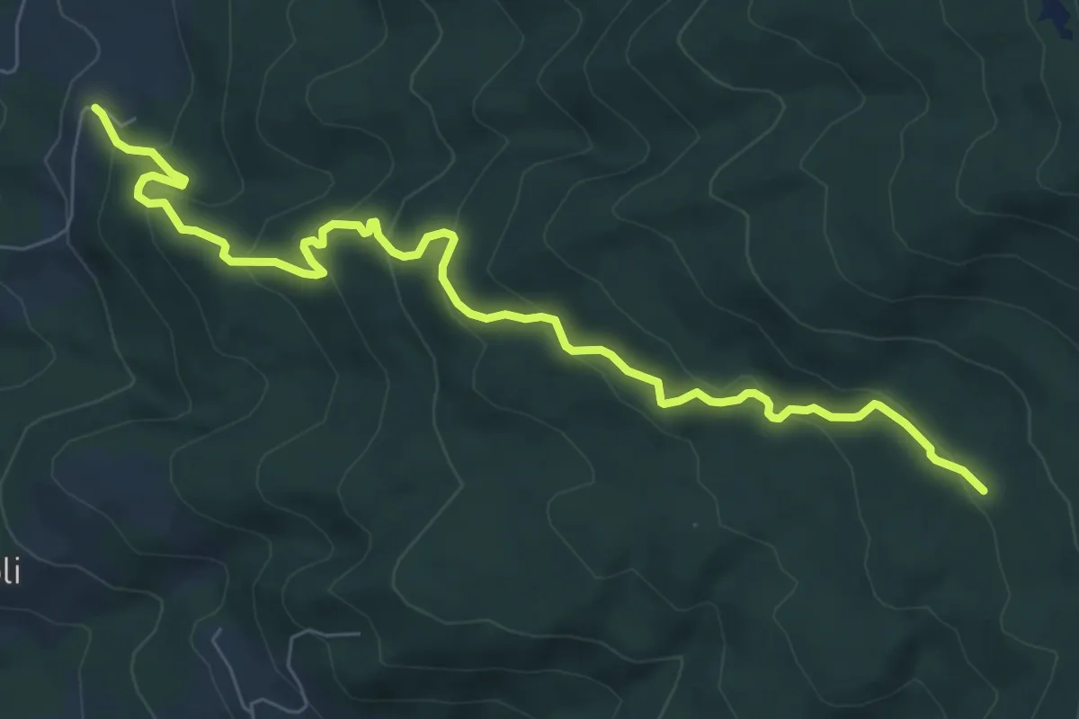
Medium · Trail
Castello di Valenzano – Sentiero 015 presso Il Casotto
8.7 km · ↑ 531 m · 3 h 12 min · 9 km away
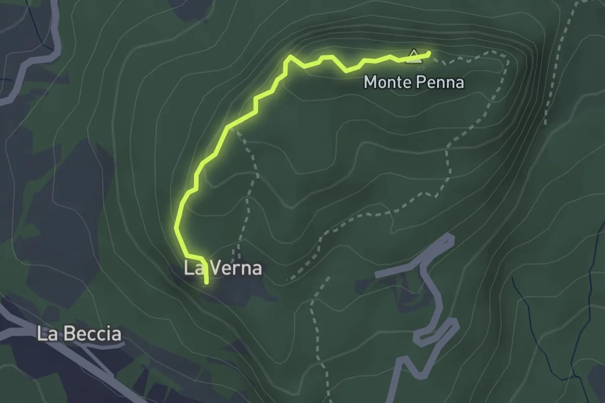
Medium · Summit
Chiusi della Verna – Santuario della Verna e anello del monte Penna
2.5 km · ↑ 223 m · 1 h 4 min · 9 km away
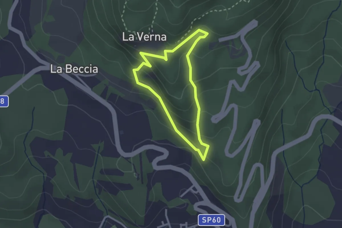
Easy · Trail
Sentiero Natura la Verna
2.2 km · ↑ 138 m · 50 min · 9 km away
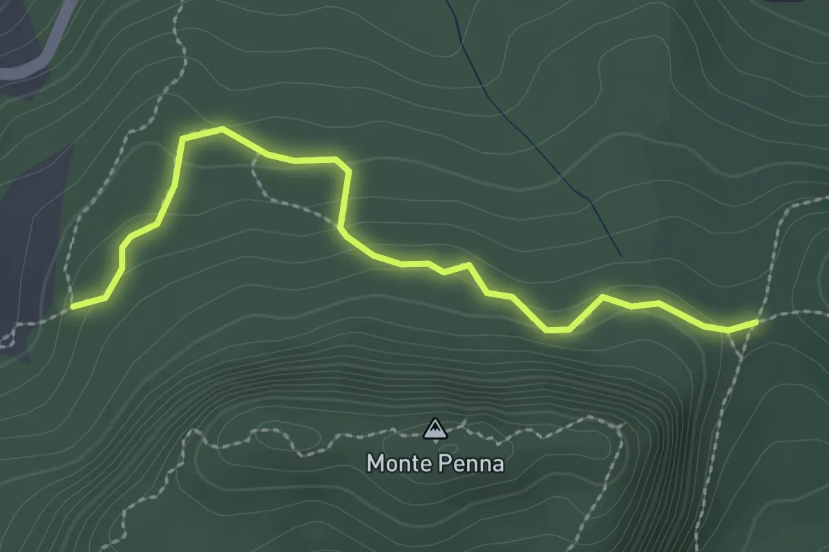
Easy · Trail
Sentiero 50 presso Croce della Calla – Sentiero 053
2.6 km · ↑ 110 m · 52 min · 9 km away
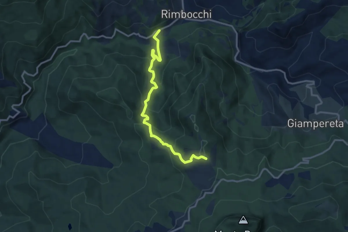
Medium · Trail
SP62 al bivio per Siregiolo – Sentiero 053 presso podere Pratalino
8.5 km · ↑ 562 m · 3 h 13 min · 9 km away
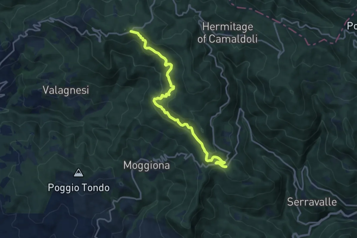
Medium · Trail
Maestà di Cerreta – Croce Gaggi
12.2 km · ↑ 673 m · 4 h 20 min · 10 km away
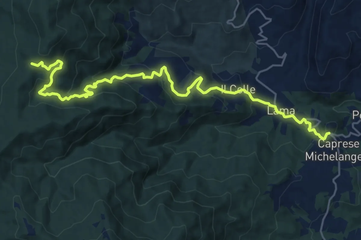
Demanding · Trail
Caprese Michelangelo – Sentiero 50 presso Eremo della Casella
17.4 km · ↑ 862 m · 5 h 59 min · 10 km away
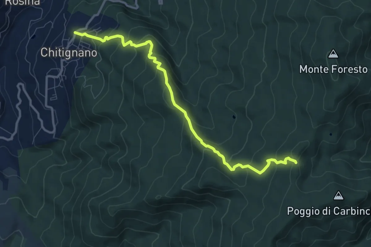
Medium · Trail
Chitignano – Sentiero 50 presso Sgolo del Rogai
9.4 km · ↑ 576 m · 3 h 28 min · 10 km away
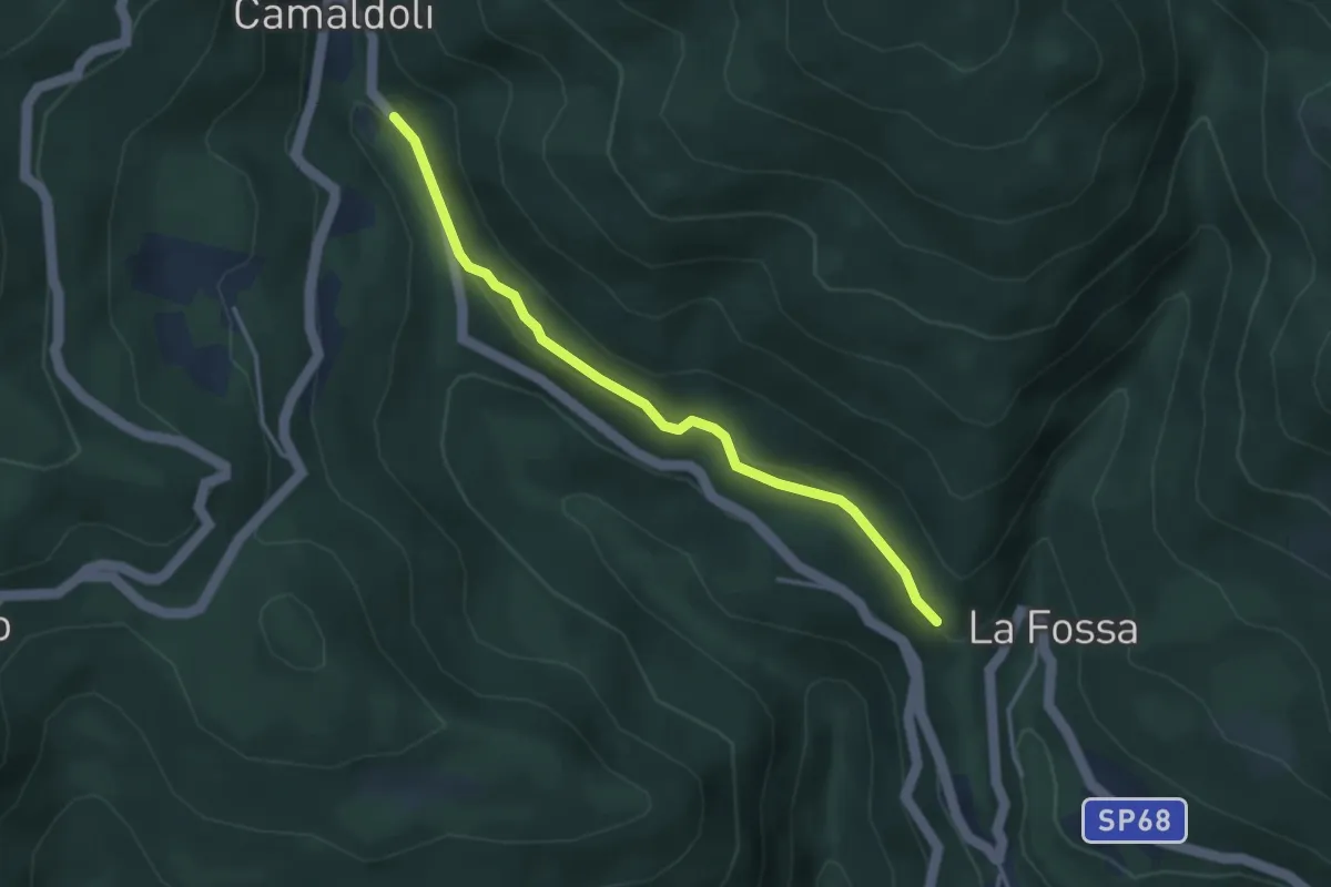
Easy · Trail
Percorso 72 – Percorso 70
3.6 km · ↑ 93 m · 1 h 3 min · 10 km away
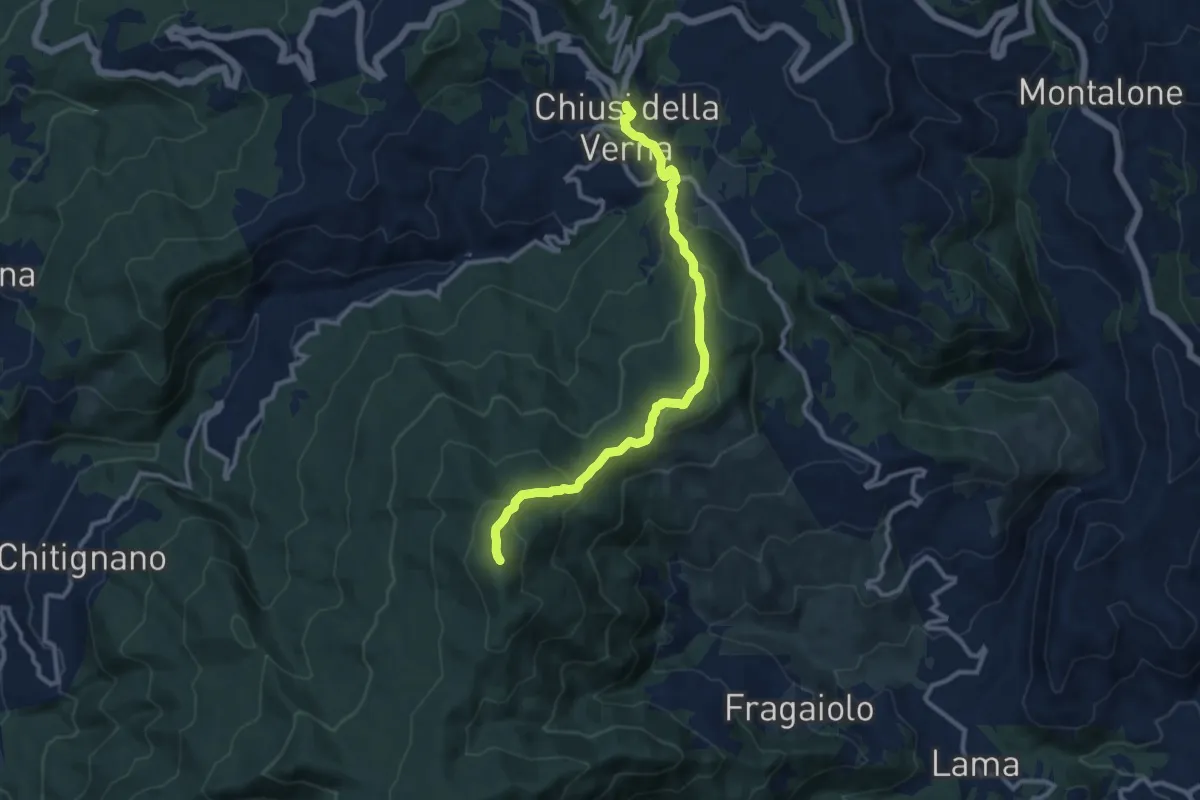
Medium · Summit
E1 Toscana 20 Chiusi della Verna - Caprese Michelangelo
11.1 km · ↑ 606 m · 3 h 57 min · 10 km away
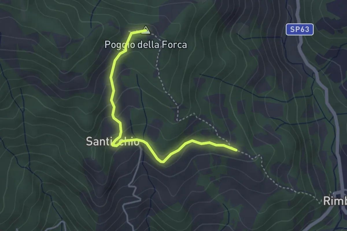
Easy · Summit
Sentiero 070 presso Podere Caggio per Podere Santicchio – Sentiero 070 presso Poggio della Forca
3.7 km · ↑ 174 m · 1 h 15 min · 10 km away
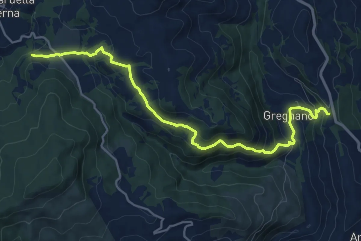
Medium · Trail
Sentiero 44 presso La Pietra – Sentiero 78 presso Gregnano
11.9 km · ↑ 529 m · 3 h 57 min · 10 km away
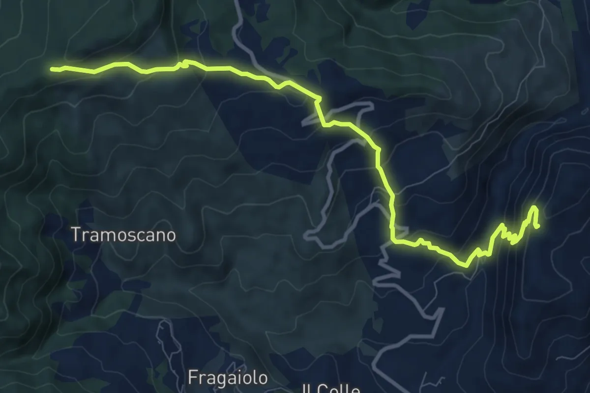
Medium · Trail
Sentiero 088 presso Balza di San Francesco – Sentiero 50 presso Croce al Varco
11.0 km · ↑ 779 m · 4 h 18 min · 10 km away
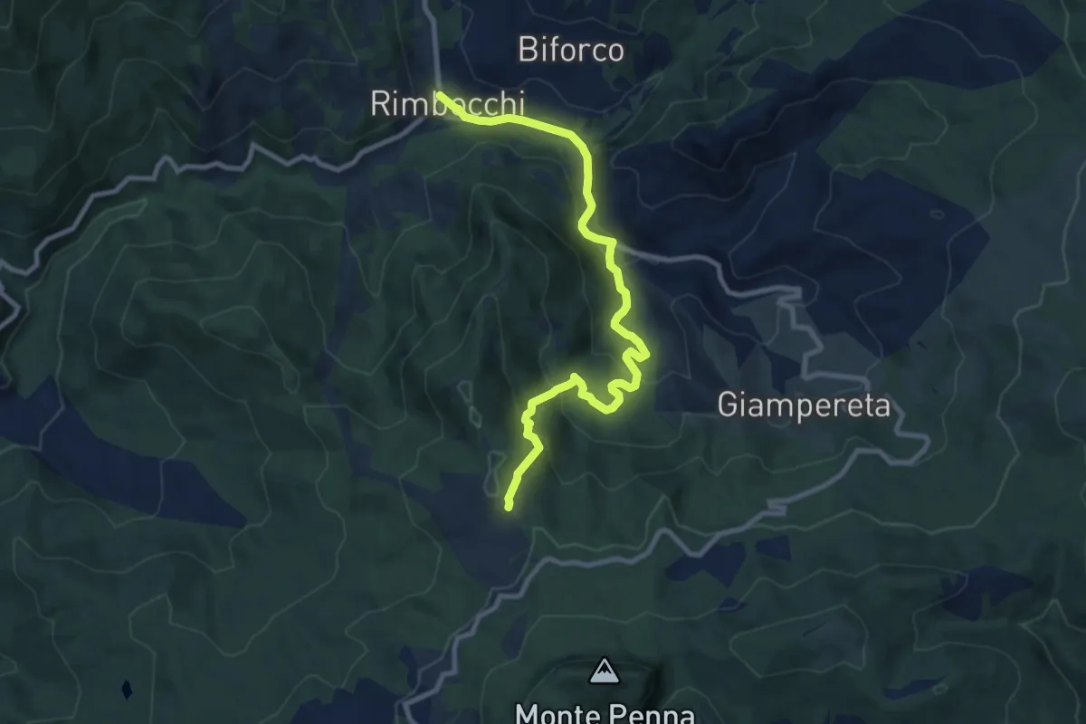
Medium · Trail
Sentiero 053 per loc. Casalino – Rimbocchi
10.1 km · ↑ 470 m · 3 h 24 min · 10 km away
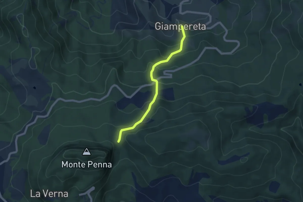
Easy · Trail
Giampereta – Sentiero 50 presso Croce della Calla
4.3 km · ↑ 317 m · 1 h 42 min · 10 km away
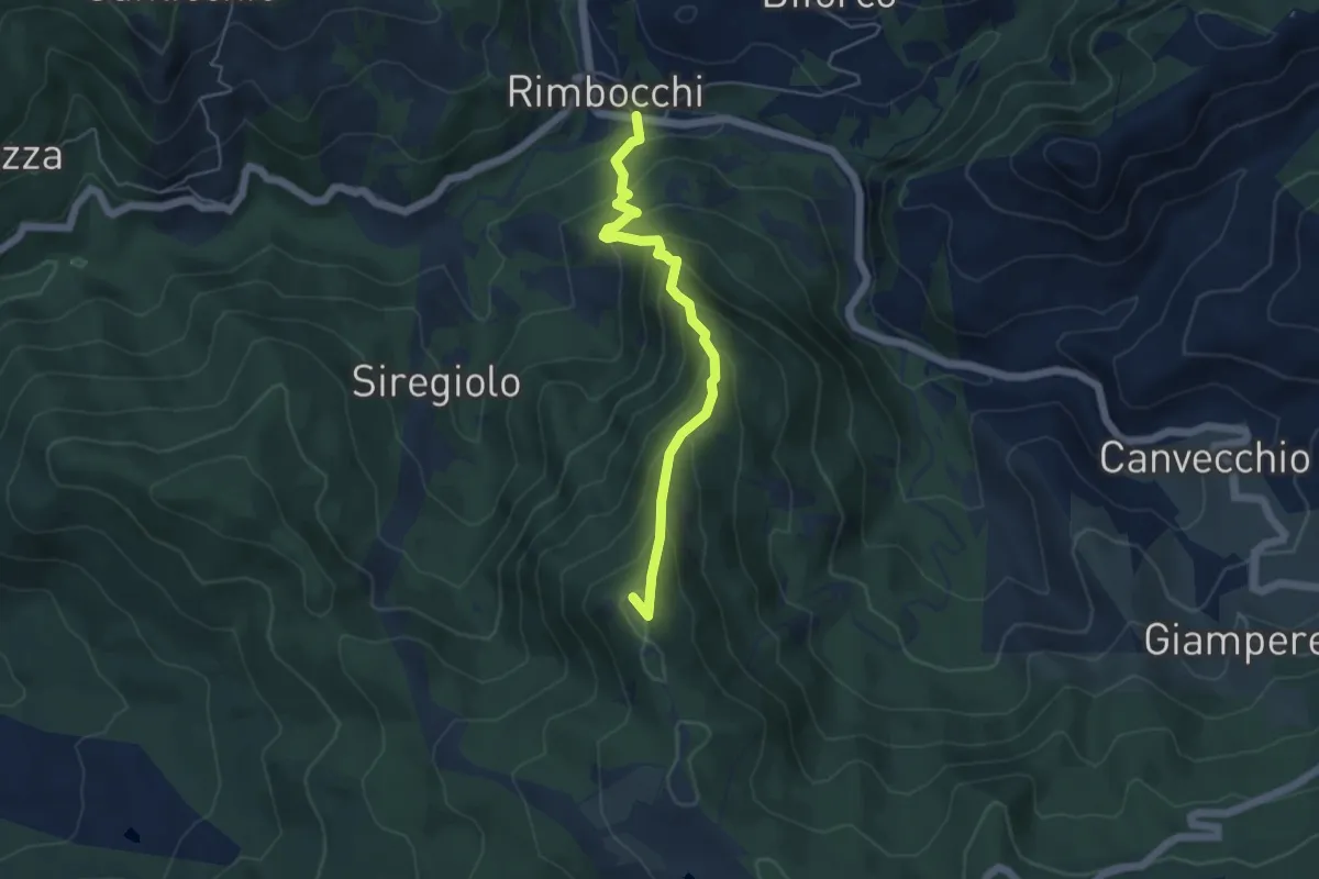
Medium · Summit
Rimbocchi – La Verna
4.9 km · ↑ 466 m · 2 h 11 min · 10 km away
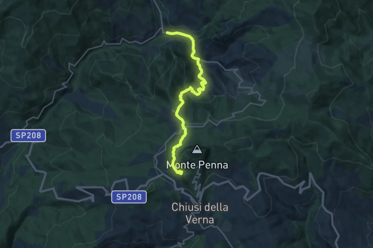
Demanding · Trail
Il Sentiero delle Foreste Sacre: Tappa 7
14.7 km · ↑ 816 m · 5 h 15 min · 10 km away
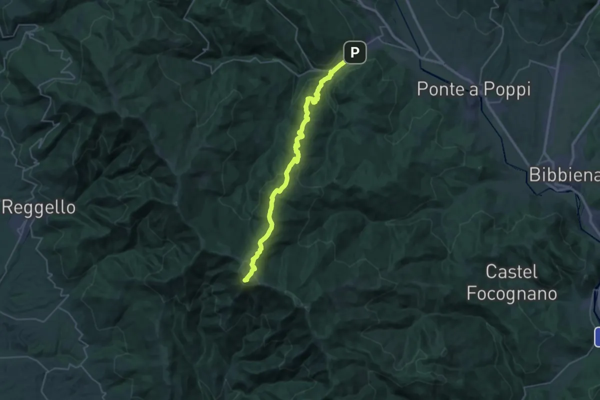
Demanding · Summit
Strada in Casentino – Innesto Sentiero 900 presso Croce del Pratomagno
28.0 km · ↑ 1355 m · 9 h 33 min · 10 km away
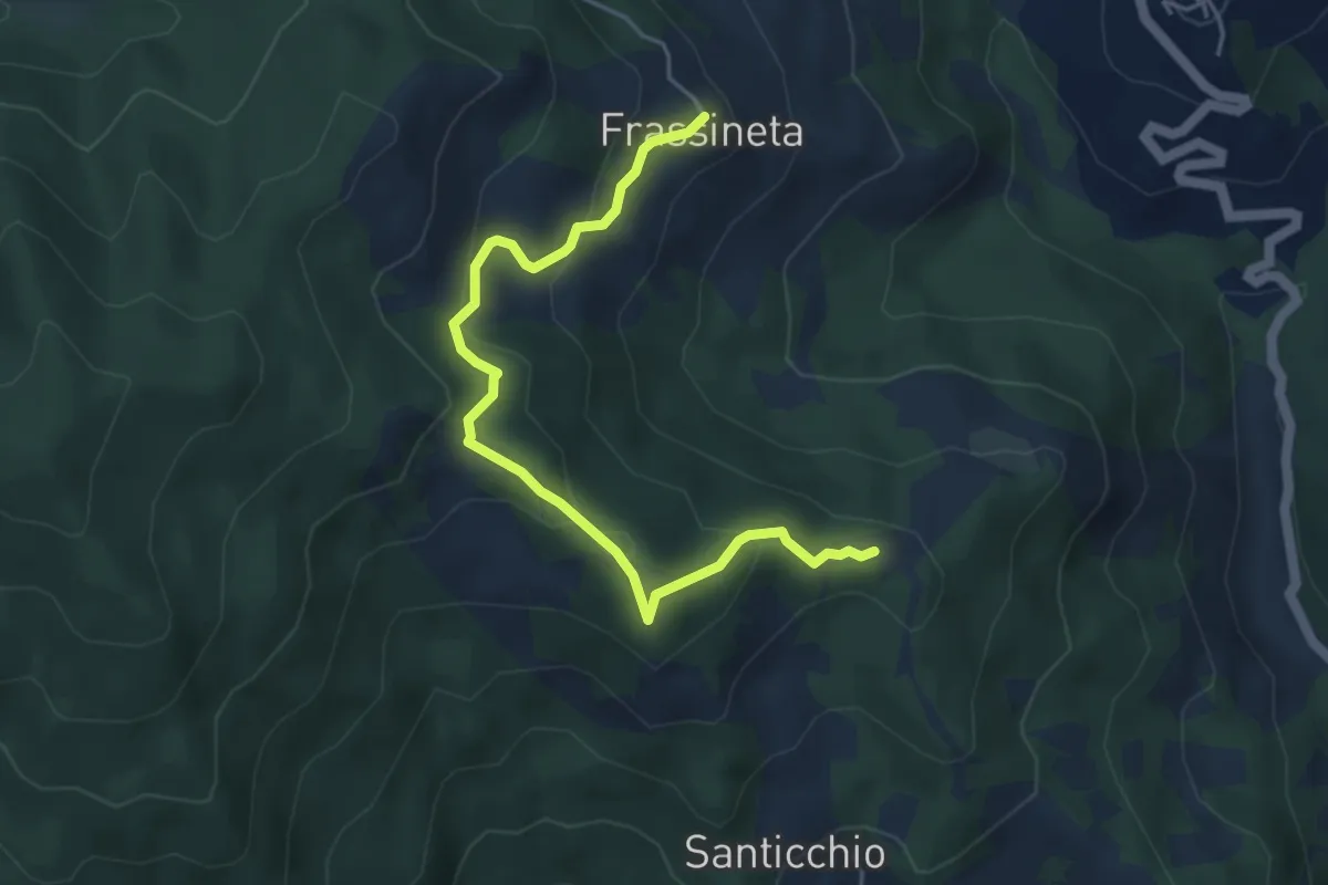
Easy · Summit
Rimbocchi – Frassineta
5.2 km · ↑ 262 m · 1 h 48 min · 10 km away
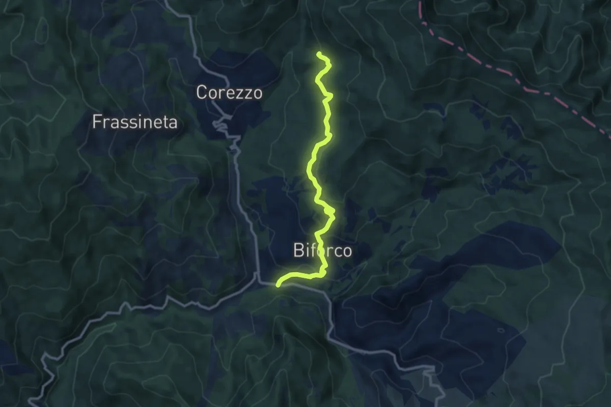
Medium · Trail
SP 62 presso il Molino della Ripa – Sentiero 59 (099) a Serra
9.4 km · ↑ 420 m · 3 h 7 min · 10 km away
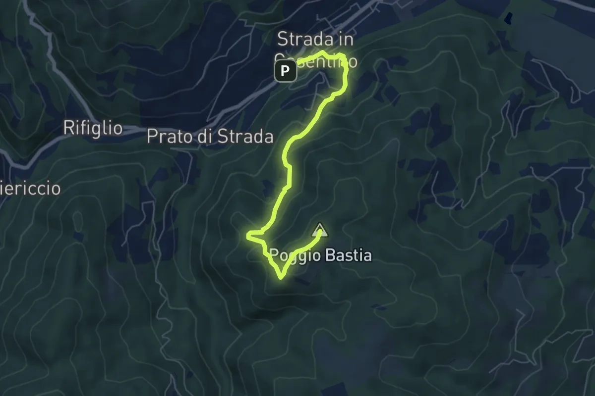
Medium · Summit
Strada in Casentino – Quorle
6.5 km · ↑ 349 m · 2 h 17 min · 11 km away
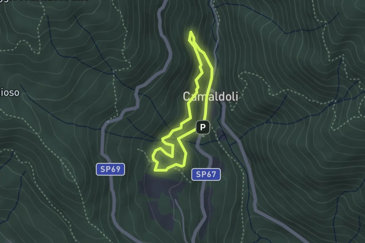
Demanding · Trail
Sentiero Natura Camaldoli
2.5 km · ↑ 166 m · 1 h · 11 km away
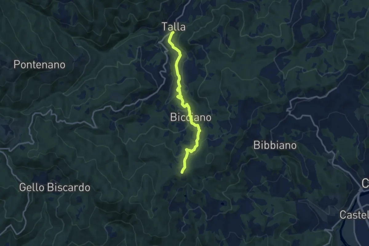
Medium · Trail
Talla – Spedale
9.9 km · ↑ 363 m · 3 h 8 min · 11 km away
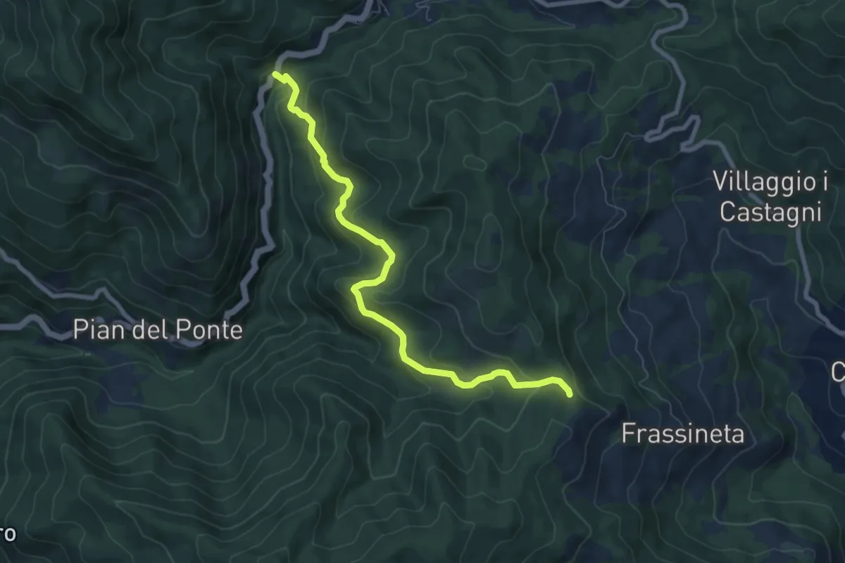
Easy · Trail
SR71 Km 193 – Sentiero 073 presso Le Quattro Vie
4.0 km · ↑ 300 m · 1 h 31 min · 11 km away
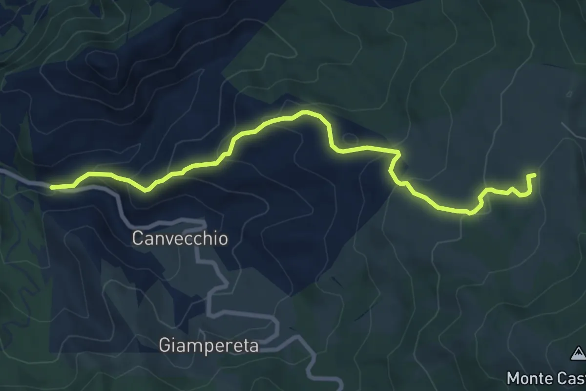
Expert · Trail
SP62 presso Montefatucchio – Passo delle Gualanciole
7.7 km · ↑ 450 m · 2 h 48 min · 11 km away
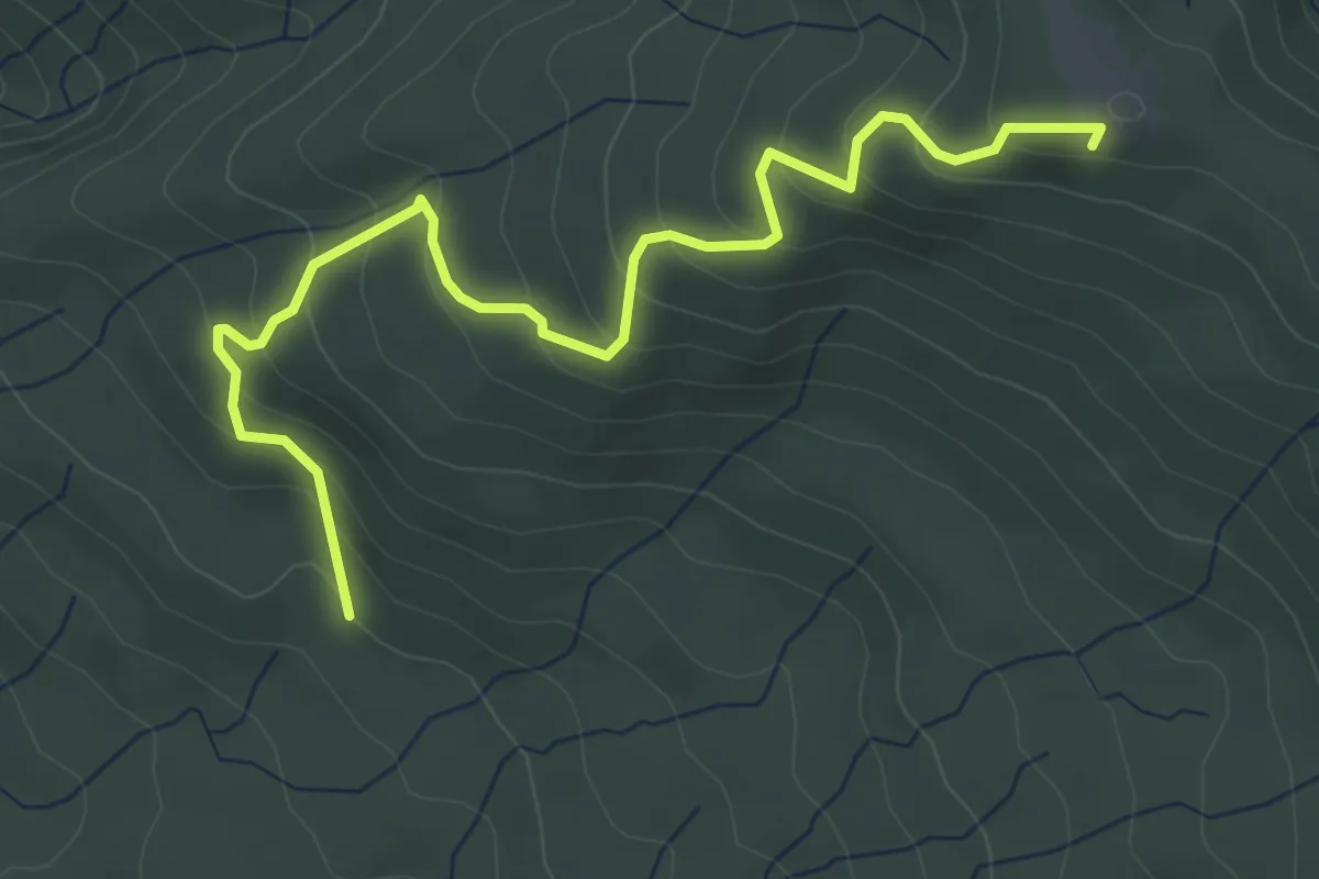
Medium · Summit
Sentiero 016 presso Casina della Burraia – Sentiero 50 presso Sasso della Regina
5.1 km · ↑ 329 m · 1 h 55 min · 11 km away
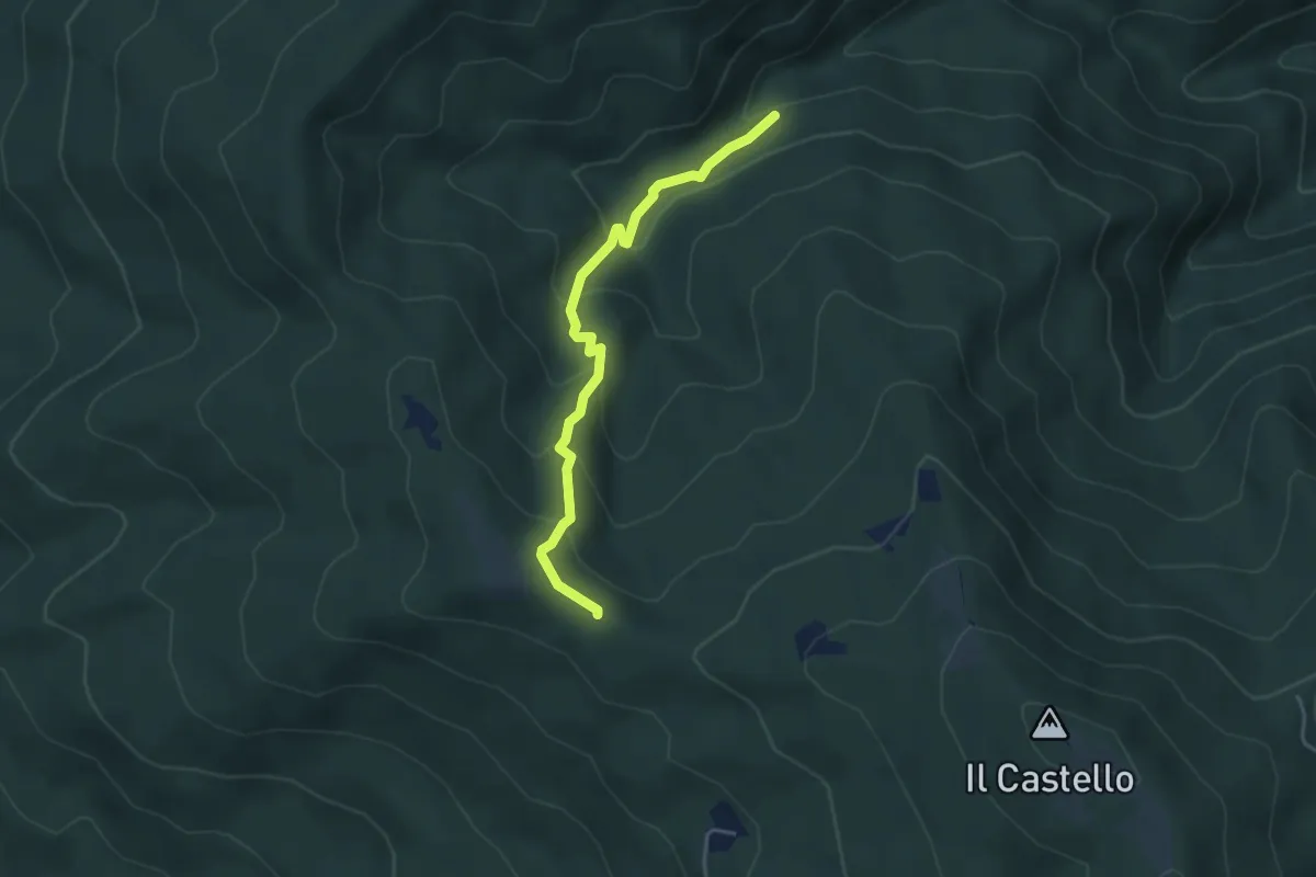
Easy · Trail
Sentiero 80 – Sentiero 50 pressi Sasso della Regina
4.1 km · ↑ 267 m · 1 h 33 min · 11 km away
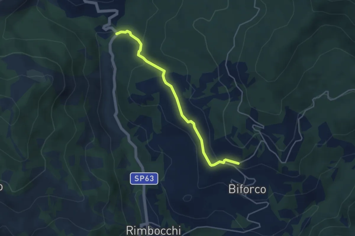
Easy · Trail
Molino di Corezzo – Biforco Sentiero 069
3.7 km · ↑ 127 m · 1 h 9 min · 11 km away
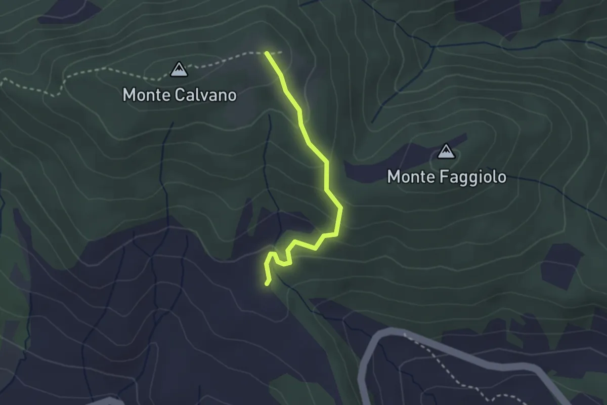
Easy · Trail
innesto sentiero 061 – innesto sentiero 50
2.4 km · ↑ 144 m · 53 min · 11 km away