Trails near Bibbiena
121 hikes starting within 15 km, nearest first.
Nearest first, page 2 of 3
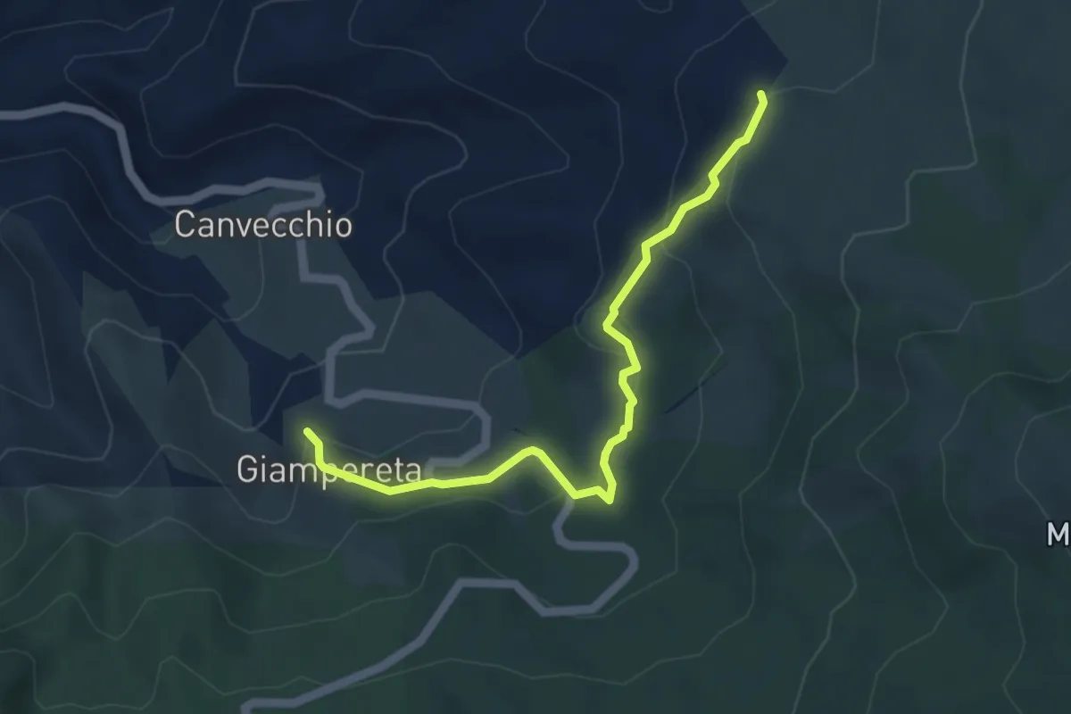
Easy · Trail
Giampereta – Sentiero 057 presso Montesilvestre
4.7 km · ↑ 205 m · 1 h 34 min · 12 km away
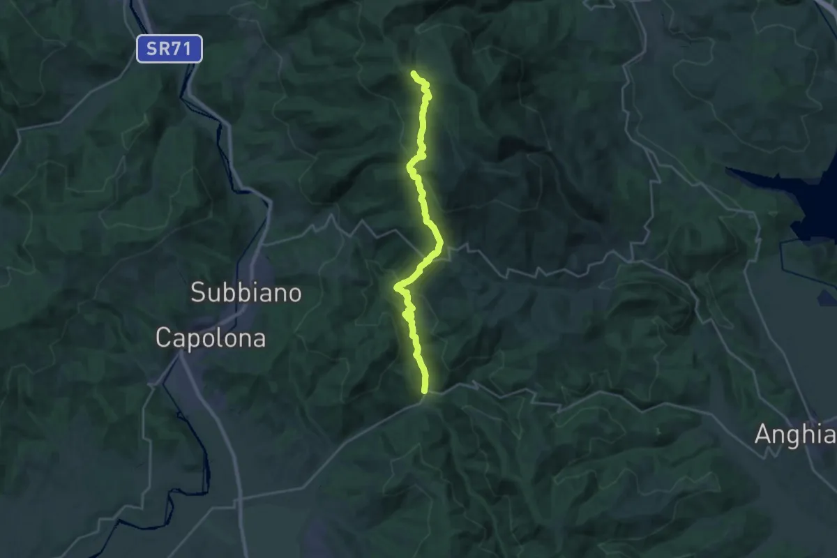
Demanding · Trail
Chiaveretto – Sentiero 50 presso Sasso della Regina
22.1 km · ↑ 985 m · 7 h 22 min · 12 km away
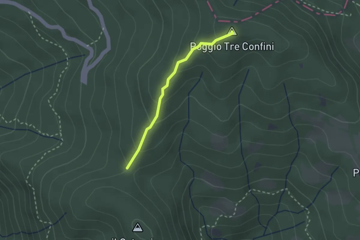
Easy · Summit
Passo Brogli – Percorso 00
2.0 km · ↑ 128 m · 45 min · 12 km away
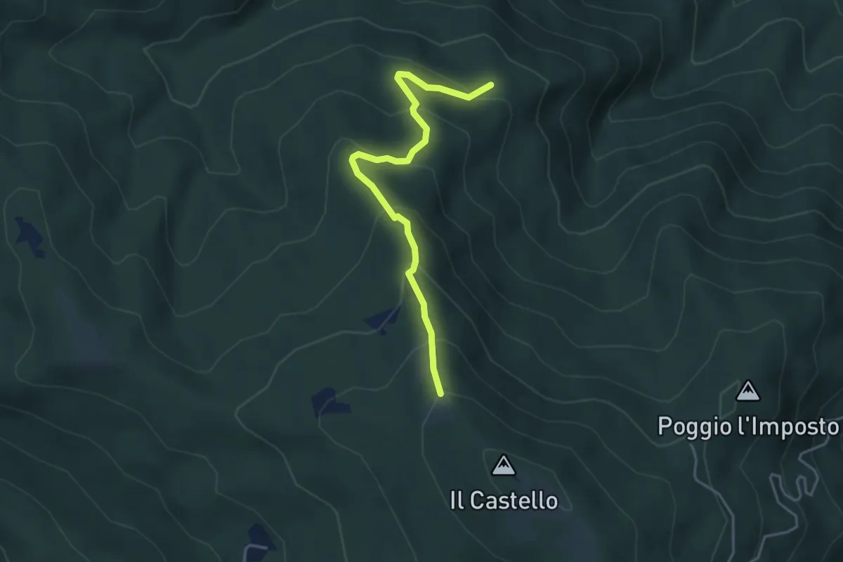
Easy · Trail
Sentiero 80 – Sentiero 50 presso Monte il Castello
4.1 km · ↑ 311 m · 1 h 38 min · 12 km away
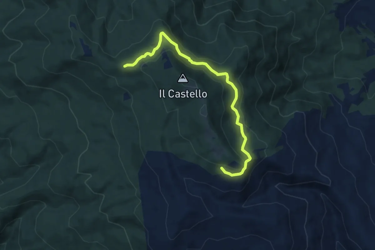
Medium · Trail
Sentiero 50 presso Sasso della Regina – Sentiero 014 presso Greppo dei Ciuffi
9.3 km · ↑ 298 m · 2 h 50 min · 12 km away
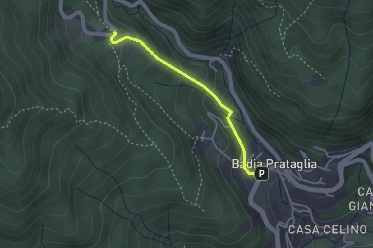
Easy · Trail
Badia Prataglia – Fangacci
2.5 km · ↑ 167 m · 57 min · 12 km away
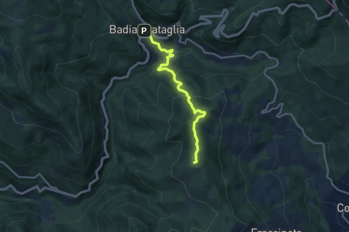
Medium · Summit
Badia Prataglia – Frassineta
6.9 km · ↑ 437 m · 2 h 34 min · 12 km away
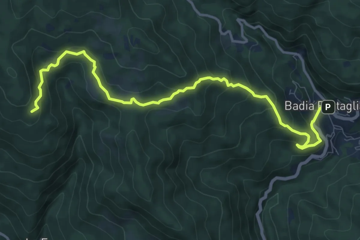
Medium · Summit
Cammino di San Vicinio: Tappa 5
10.7 km · ↑ 651 m · 3 h 56 min · 12 km away
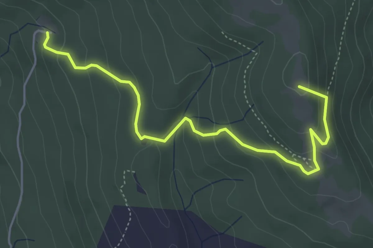
Easy · Summit
Fonte del Baregno – Sentiero 012 presso l'Imposto
5.3 km · ↑ 243 m · 1 h 47 min · 12 km away
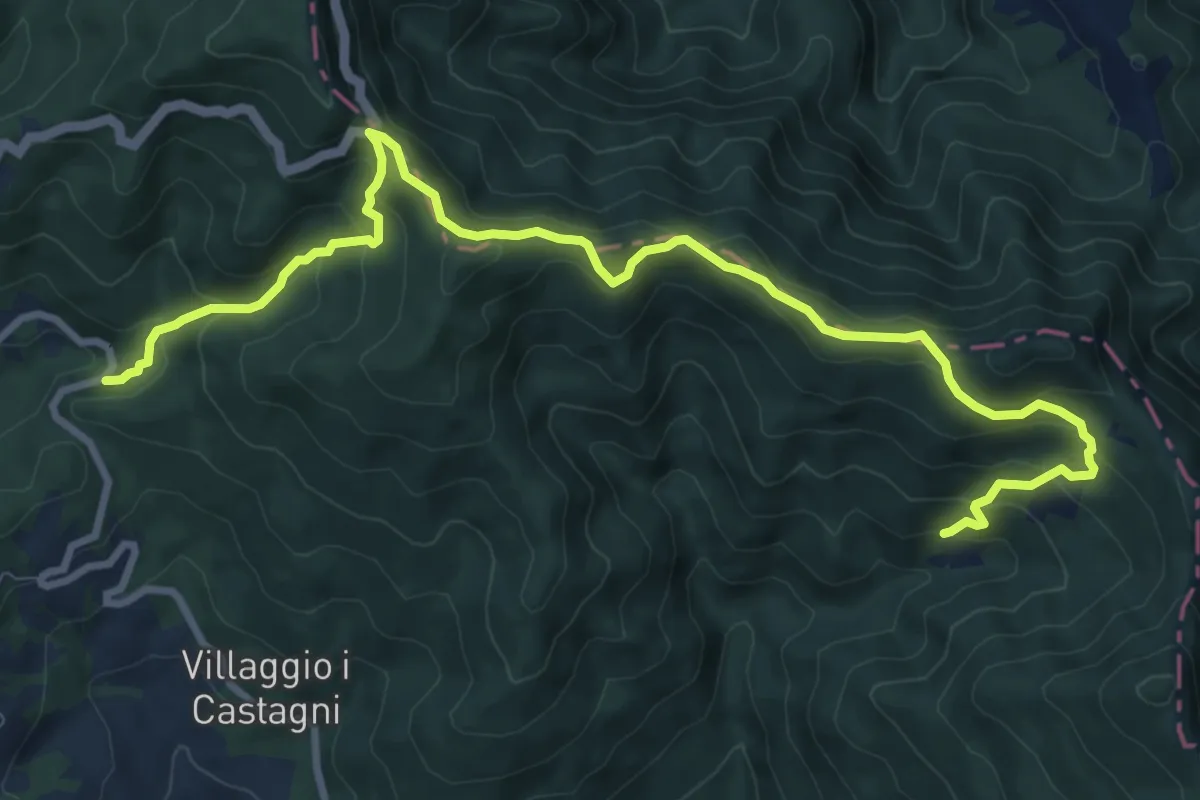
Medium · Trail
Cammino di San Vicinio: Tappa 6
11.6 km · ↑ 607 m · 4 h 3 min · 13 km away
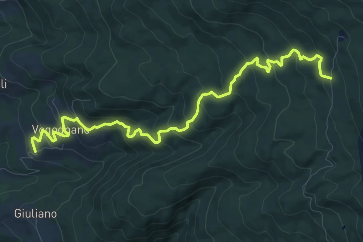
Medium · Trail
Vogognano – Sentiero 003 sotto Fonte del Baregno
12.6 km · ↑ 712 m · 4 h 31 min · 13 km away
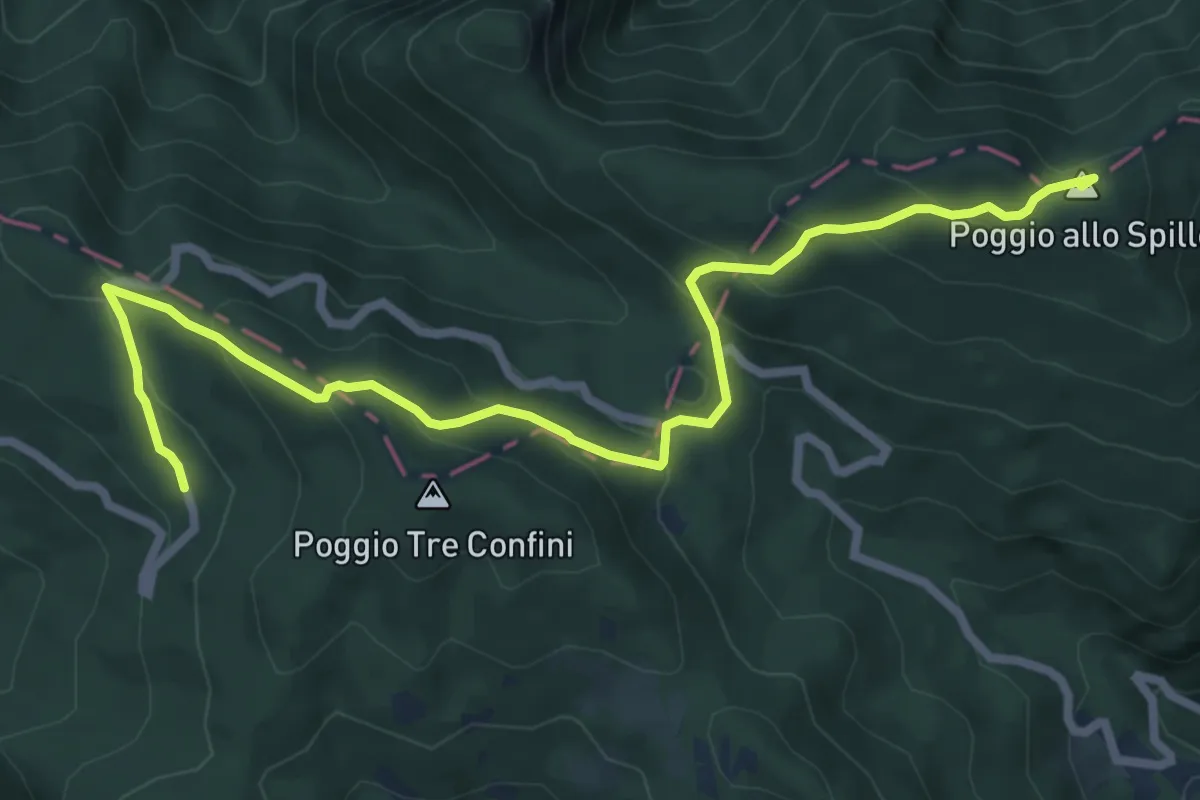
Medium · Summit
Il Sentiero delle Foreste Sacre: Tappa 5
8.5 km · ↑ 448 m · 2 h 58 min · 13 km away
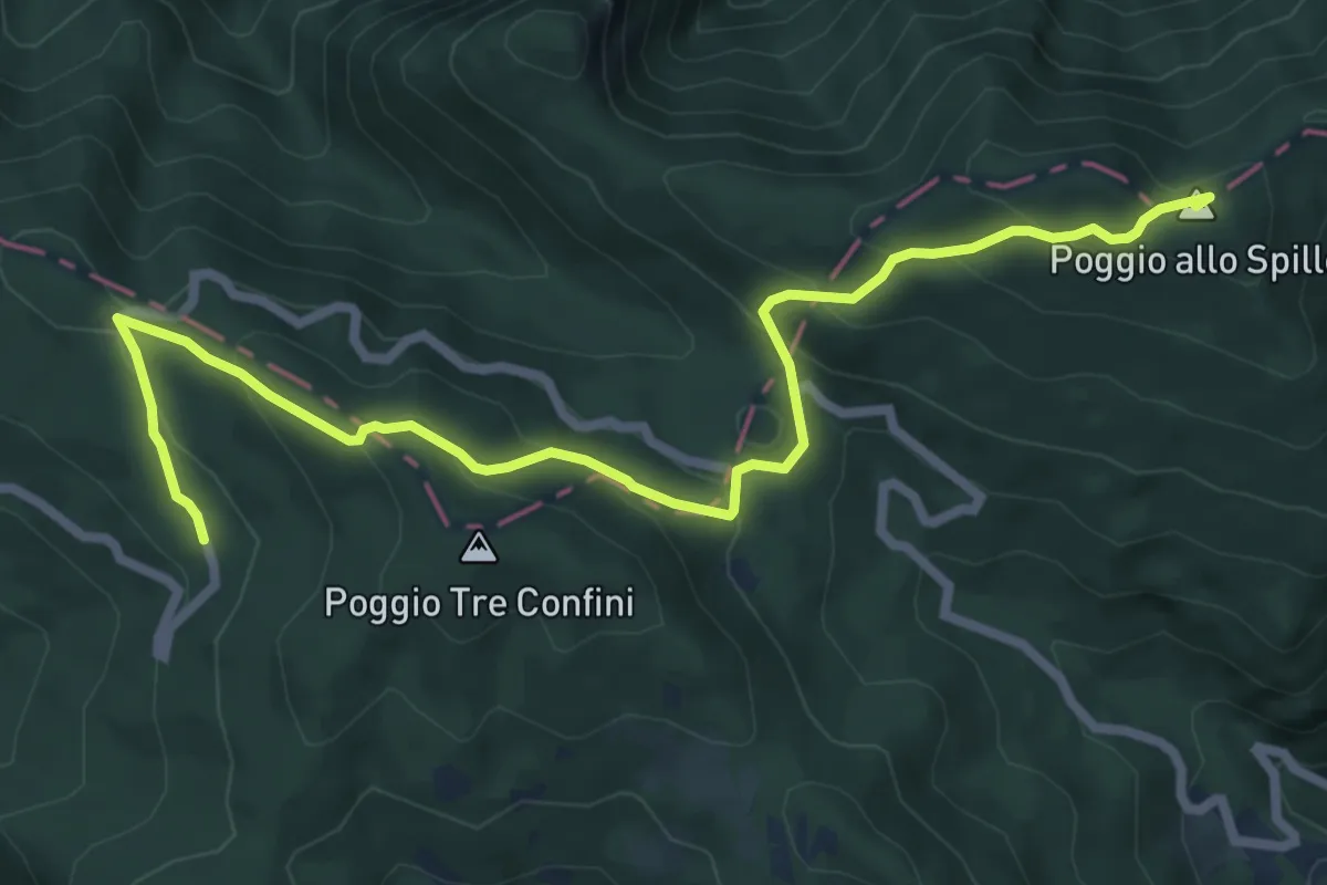
Medium · Summit
Alta Via dei Parchi: Tappa 23
8.5 km · ↑ 448 m · 2 h 58 min · 13 km away
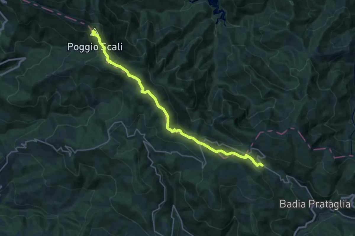
Medium · Summit
Grande Escursione Appenninica - Tappa 5
16.7 km · ↑ 737 m · 5 h 32 min · 13 km away
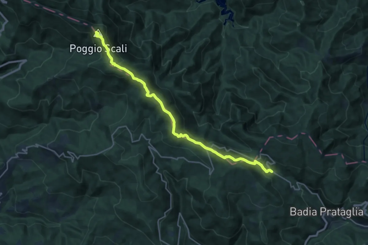
Medium · Summit
E1 Toscana 18 Passo della Calla / Badia Prataglia
16.7 km · ↑ 737 m · 5 h 32 min · 13 km away
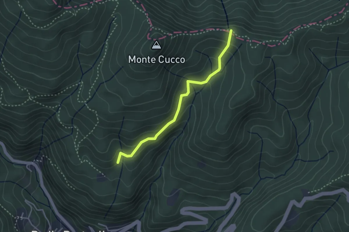
Easy · Trail
Tramignone – Percorso 00
3.1 km · ↑ 188 m · 1 h 8 min · 13 km away
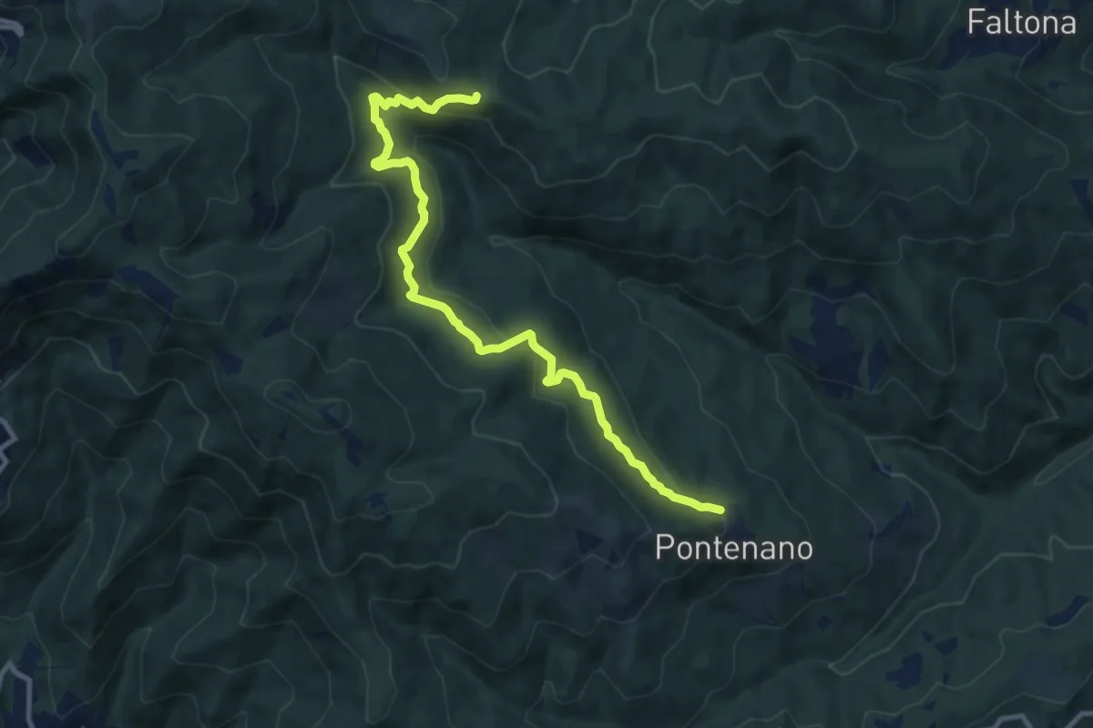
Medium · Trail
Pontenano – Badia di Santa Trinita - Innesto Sentiero 940 presso Passo della Forca
11.2 km · ↑ 471 m · 3 h 40 min · 13 km away
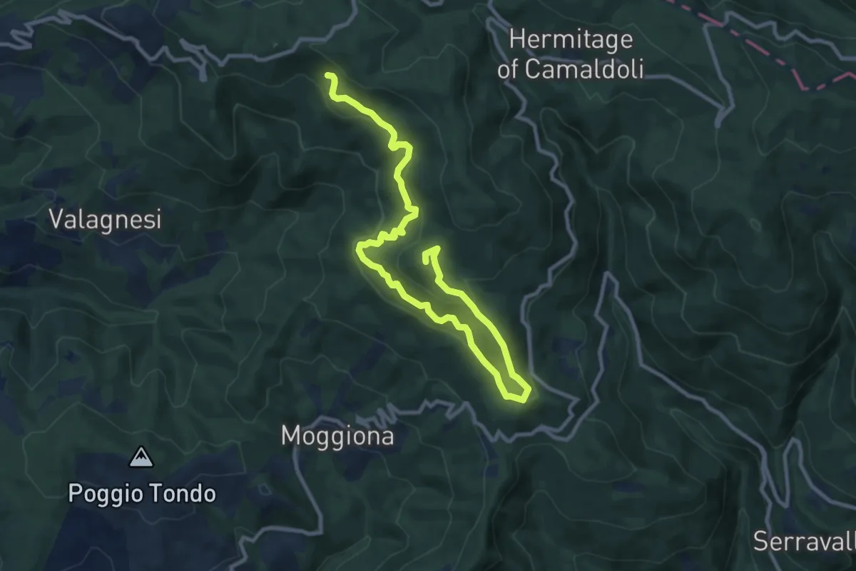
Medium · Summit
Sentiero dei Tedeschi
12.7 km · ↑ 726 m · 4 h 34 min · 13 km away
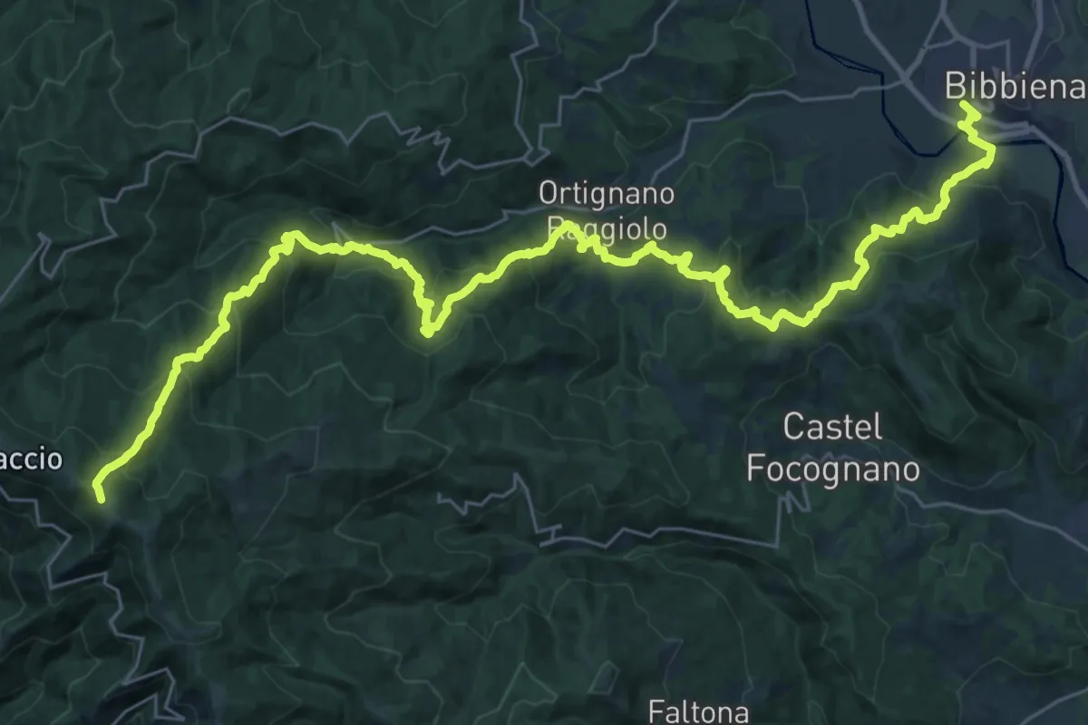
Demanding · Trail
Bibbiena loc. Pollino – Innesto Sentiero 900 presso Pozza Nera
21.0 km · ↑ 617 m · 7 h 10 min · 13 km away
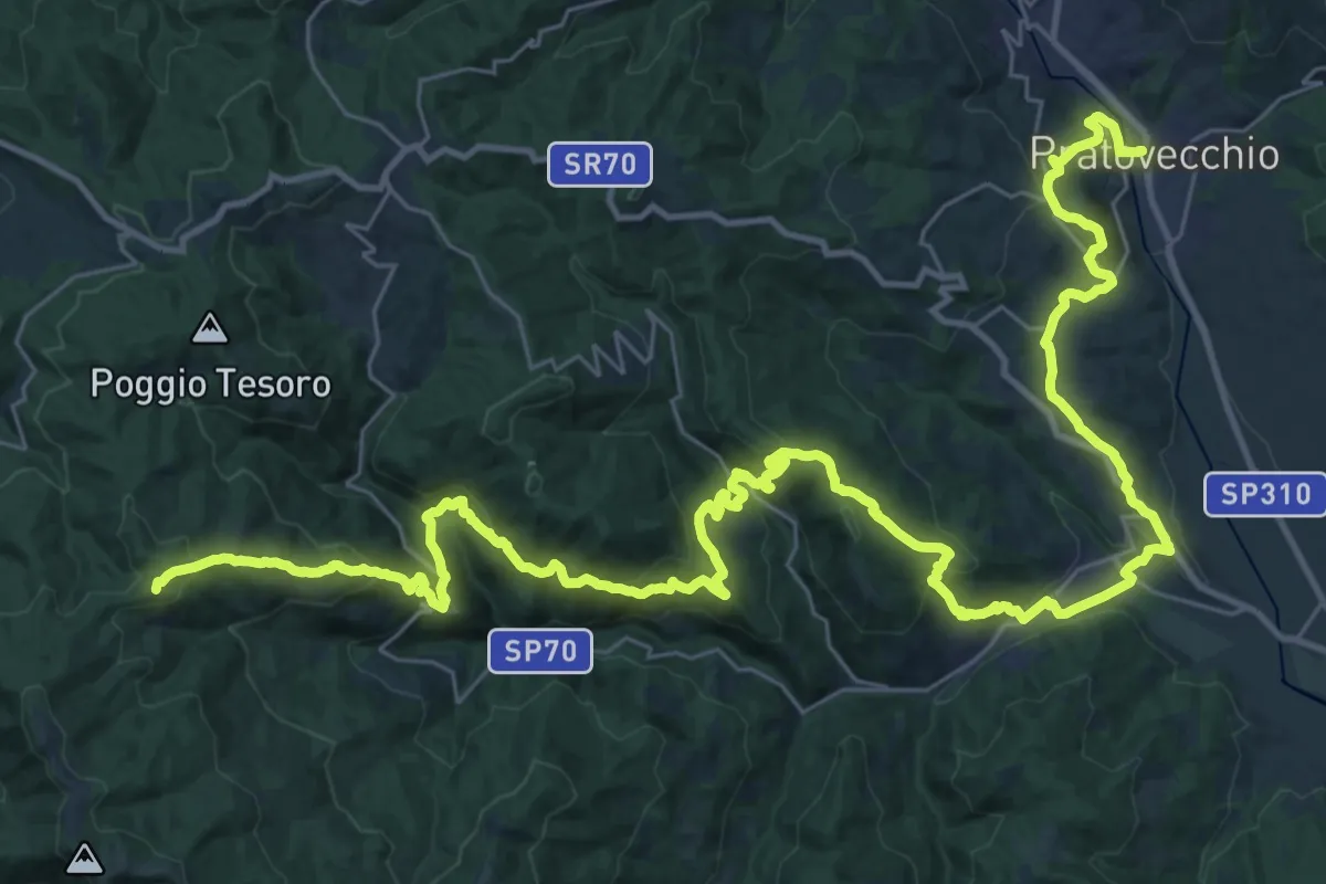
Demanding · Summit
Pratovecchio – Innesto Sentiero 900 presso Poggio Atello
53.6 km · ↑ 2340 m · 17 h 44 min · 13 km away
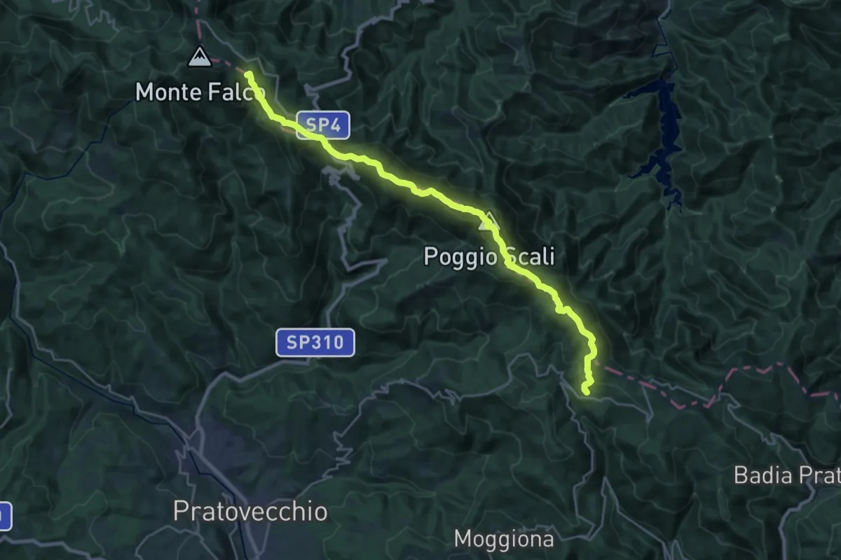
Demanding · Summit
Viae Sancti Romualdi: Tappa 9
24.3 km · ↑ 1227 m · 8 h 24 min · 13 km away
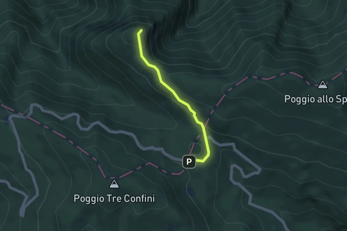
Medium · Summit
Passo Fangacci – Monte Penna
3.0 km · ↑ 113 m · 57 min · 13 km away
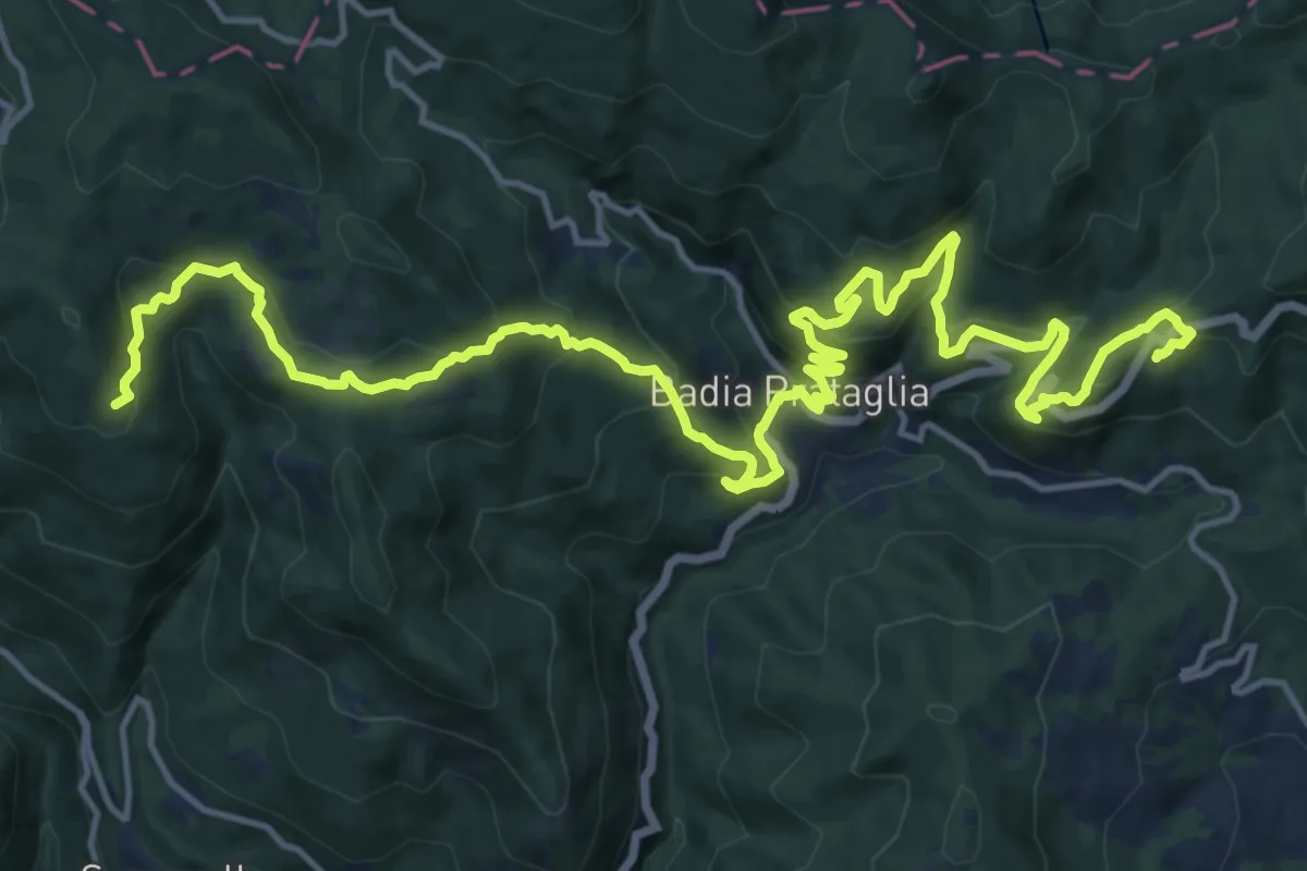
Medium · Summit
Il Cammino di Sant'Antonio: Tappa 21
11.2 km · ↑ 712 m · 4 h 16 min · 13 km away
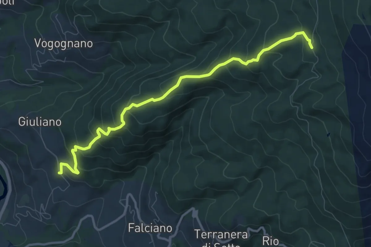
Medium · Trail
Via Romea nei pressi di Giuliano – Sentiero 003 presso Casa Taverni
9.8 km · ↑ 636 m · 3 h 42 min · 13 km away
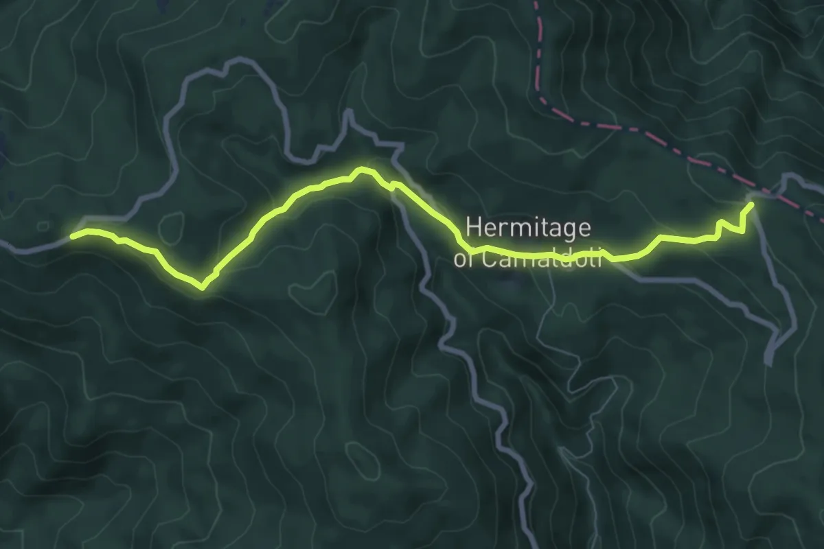
Medium · Trail
Croce Gaggi – Prato alla Penna
8.4 km · ↑ 354 m · 2 h 46 min · 13 km away
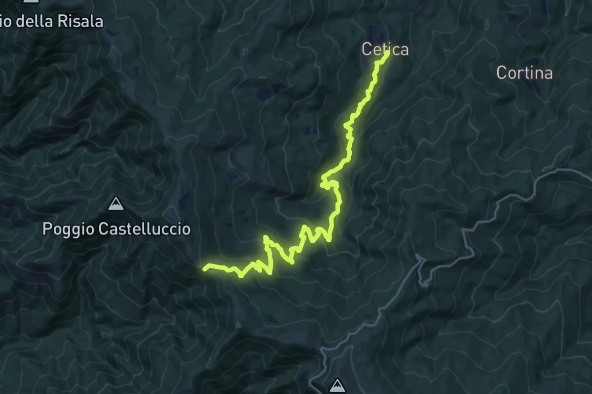
Demanding · Cabin
Cetica – Varco di Gastra
19.0 km · ↑ 929 m · 6 h 30 min · 13 km away
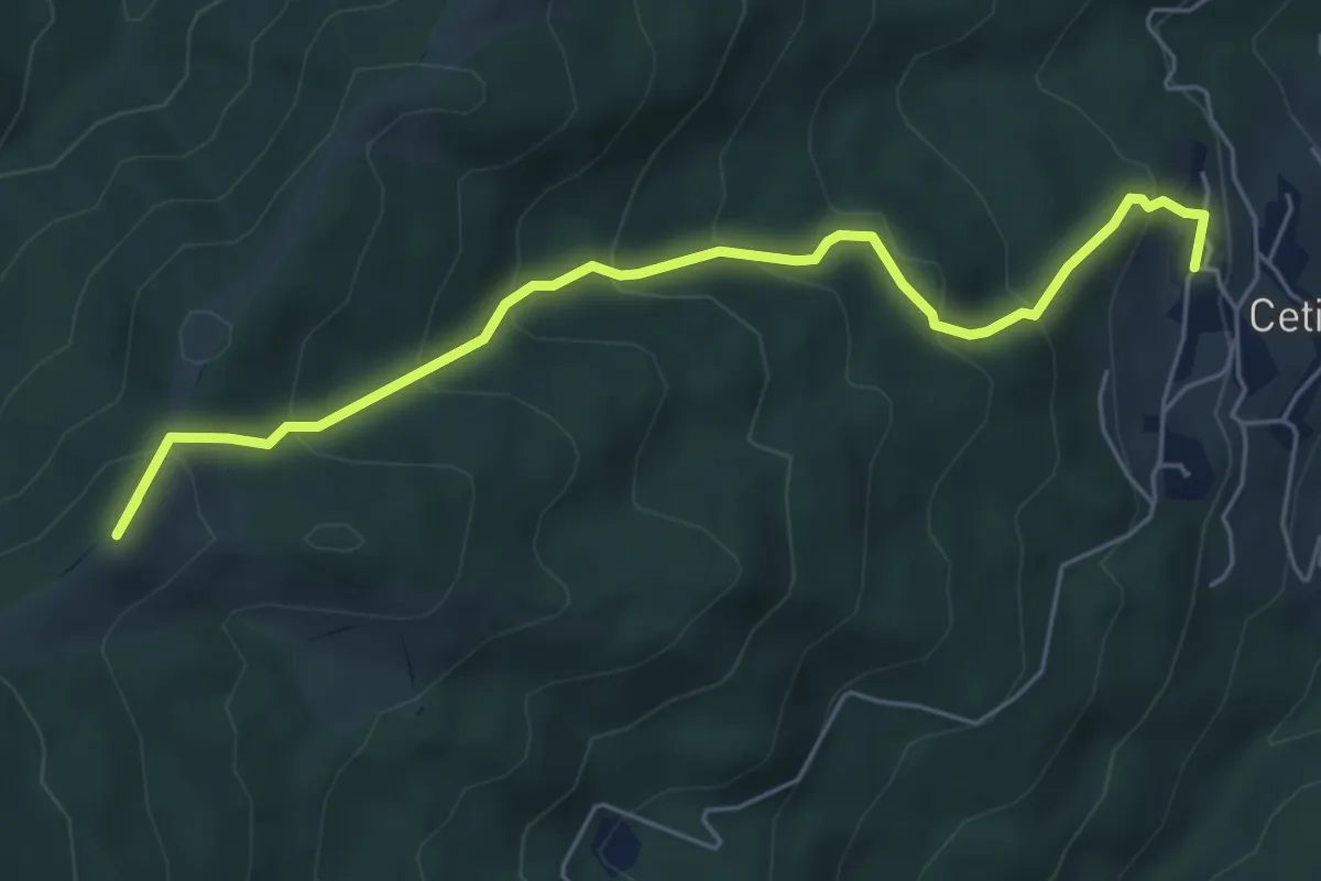
Medium · Summit
Cetica – Innesto Sentiero 928 presso Varco di Reggello
6.3 km · ↑ 482 m · 2 h 32 min · 13 km away
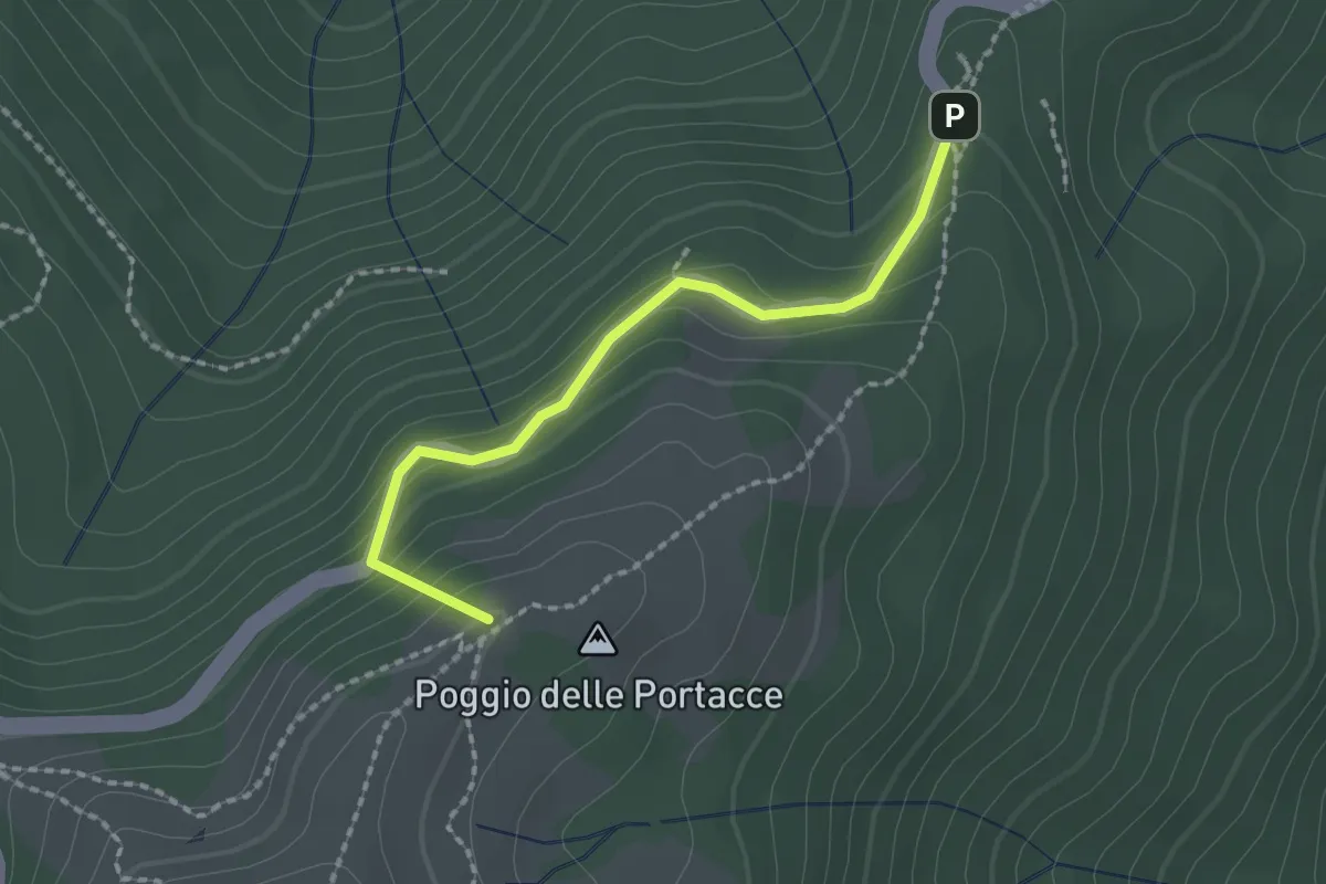
Easy · Summit
Variante Hinkler Ring A
2.0 km · ↑ 135 m · 45 min · 13 km away
Demanding · Trail
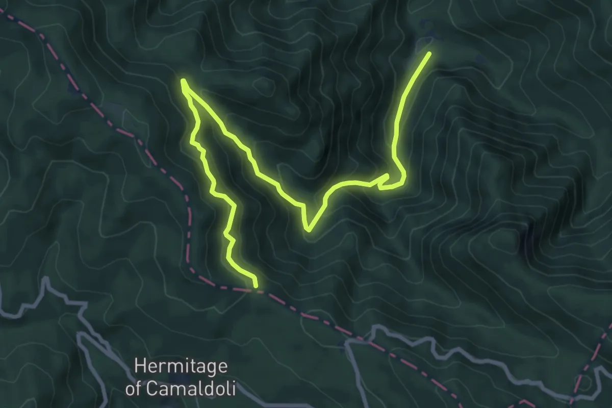
La Lama – Gioghetto
10.0 km · ↑ 847 m · 4 h 12 min · 13 km away
Medium · Summit
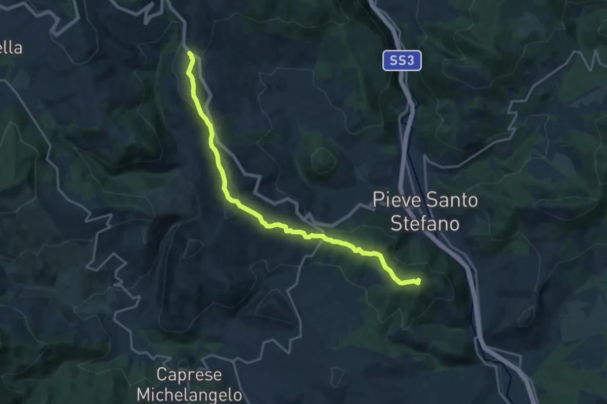
Formole – Montaione
14.5 km · ↑ 477 m · 4 h 27 min · 14 km away
Medium · Trail
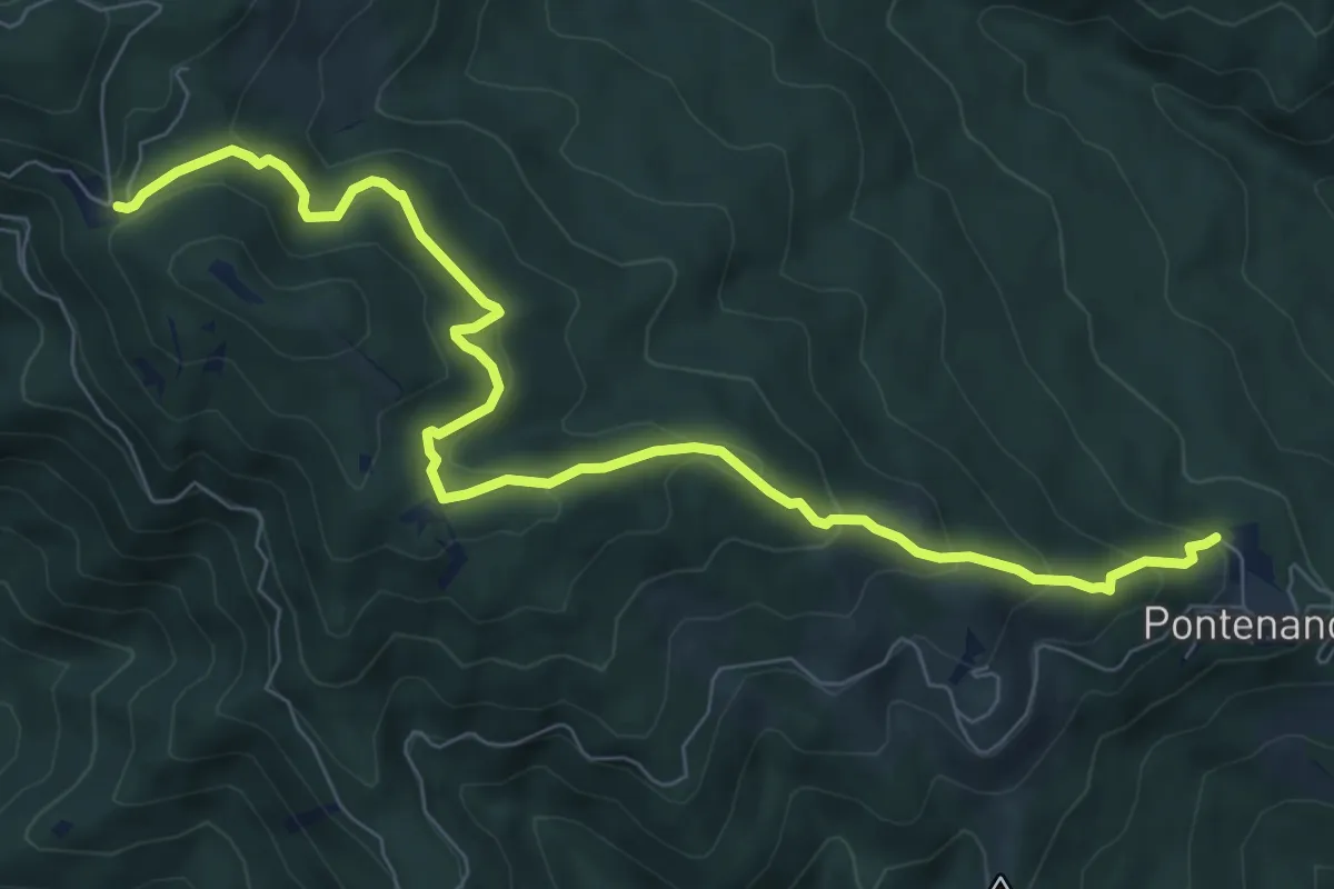
Pontenano – Sentiero 900 presso Abetina dei Bardi
9.6 km · ↑ 540 m · 3 h 26 min · 14 km away
Medium · Trail
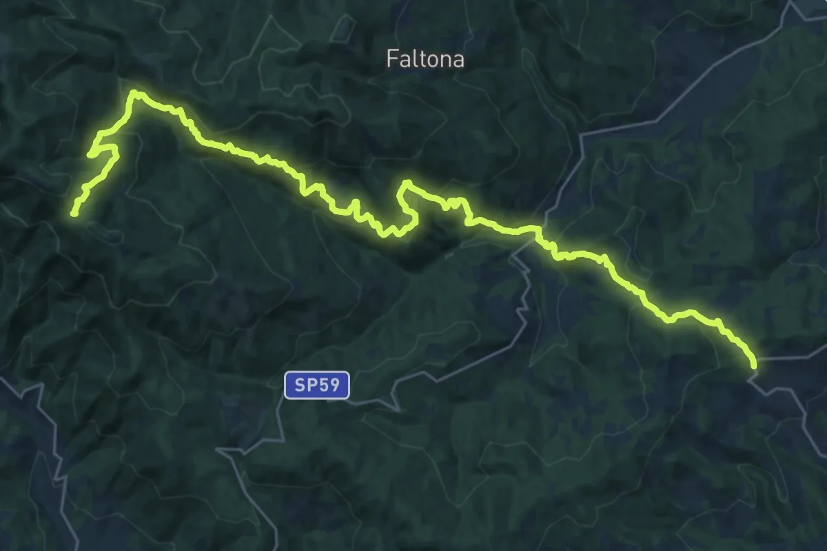
Innesto sentiero 900 presso Migliarino – innesto sentiero 900 presso Abetina dei Bardi
17.1 km · ↑ 611 m · 5 h 55 min · 14 km away
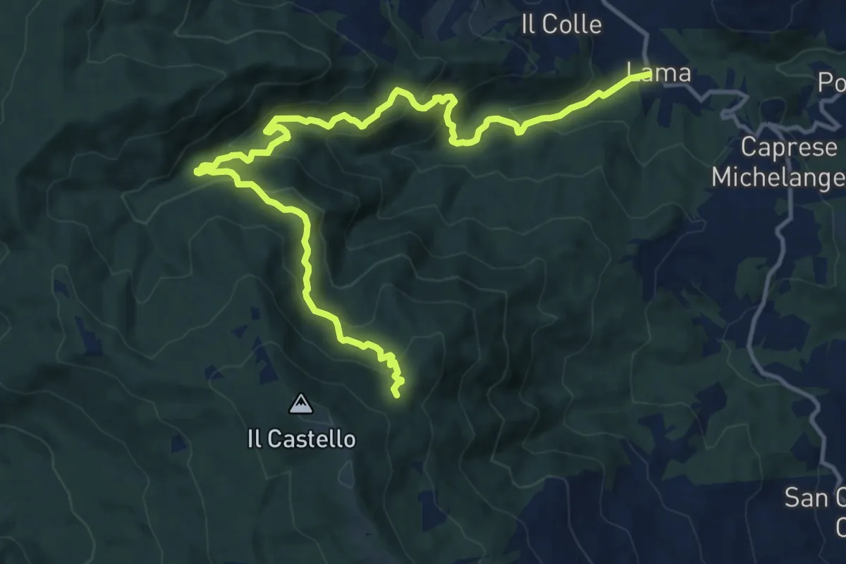
Demanding · Trail
La Lama (Caprese Michelangelo) – Sentiero 012 presso L'Imposto
16.0 km · ↑ 894 m · 5 h 43 min · 14 km away
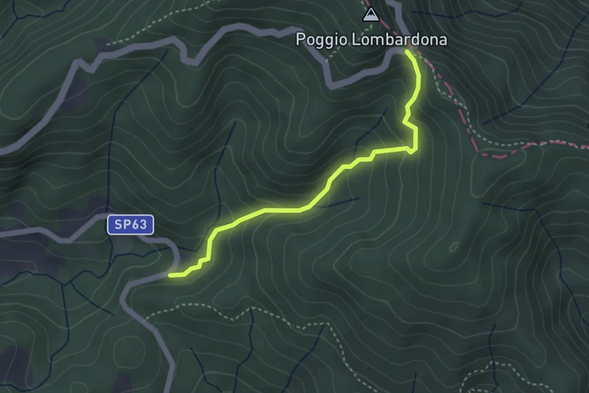
Easy · Trail
Passo dei Mandrioli – Badia Prataglia
3.4 km · ↑ 248 m · 1 h 20 min · 14 km away
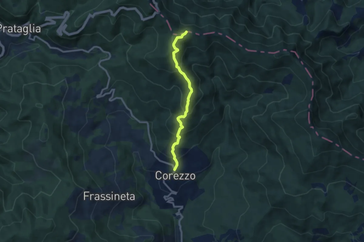
Medium · Trail
Corezzo – Sentiero Italia presso poggio Magiovanna
6.7 km · ↑ 519 m · 2 h 42 min · 14 km away
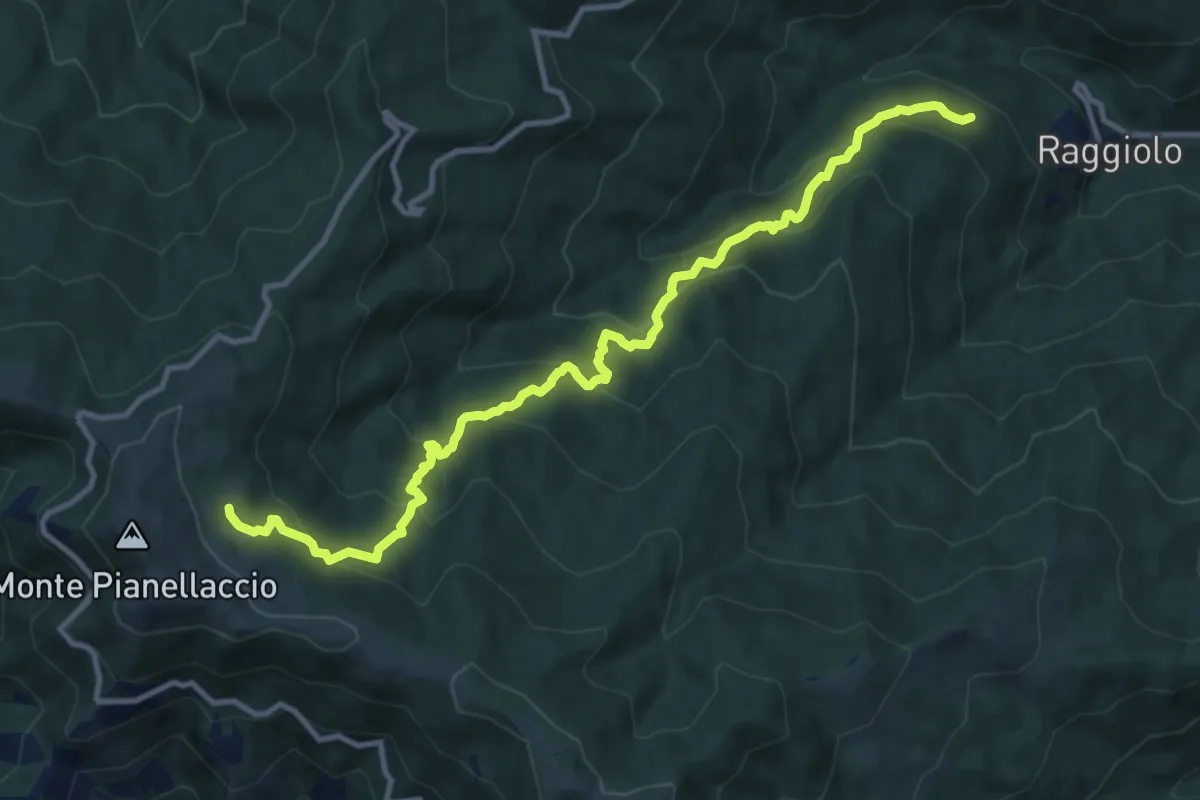
Demanding · Trail
Sentiero 30 presso Raggiolo – Sentiero 942 presso Fonte del Duca
12.7 km · ↑ 991 m · 5 h 9 min · 14 km away
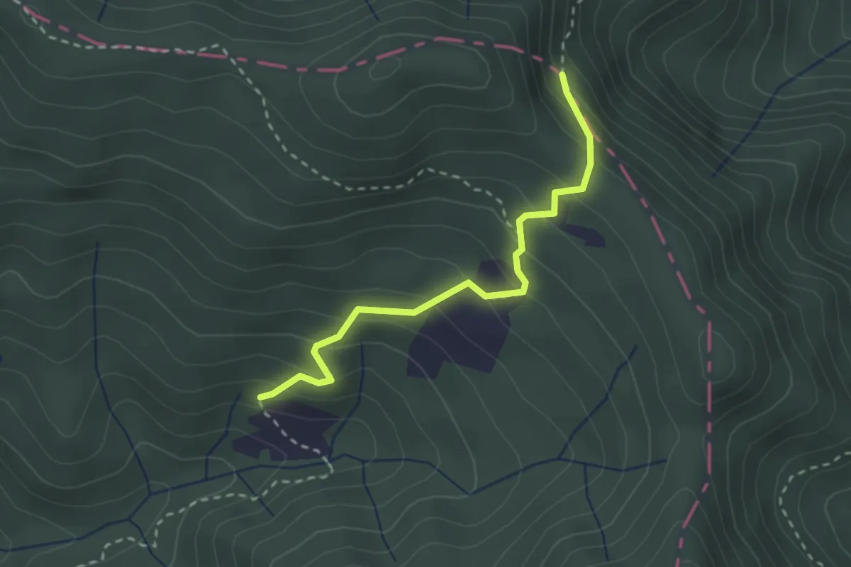
Medium · Trail
Via Romea - Tratto Toscana
2.6 km · ↑ 190 m · 1 h 2 min · 14 km away
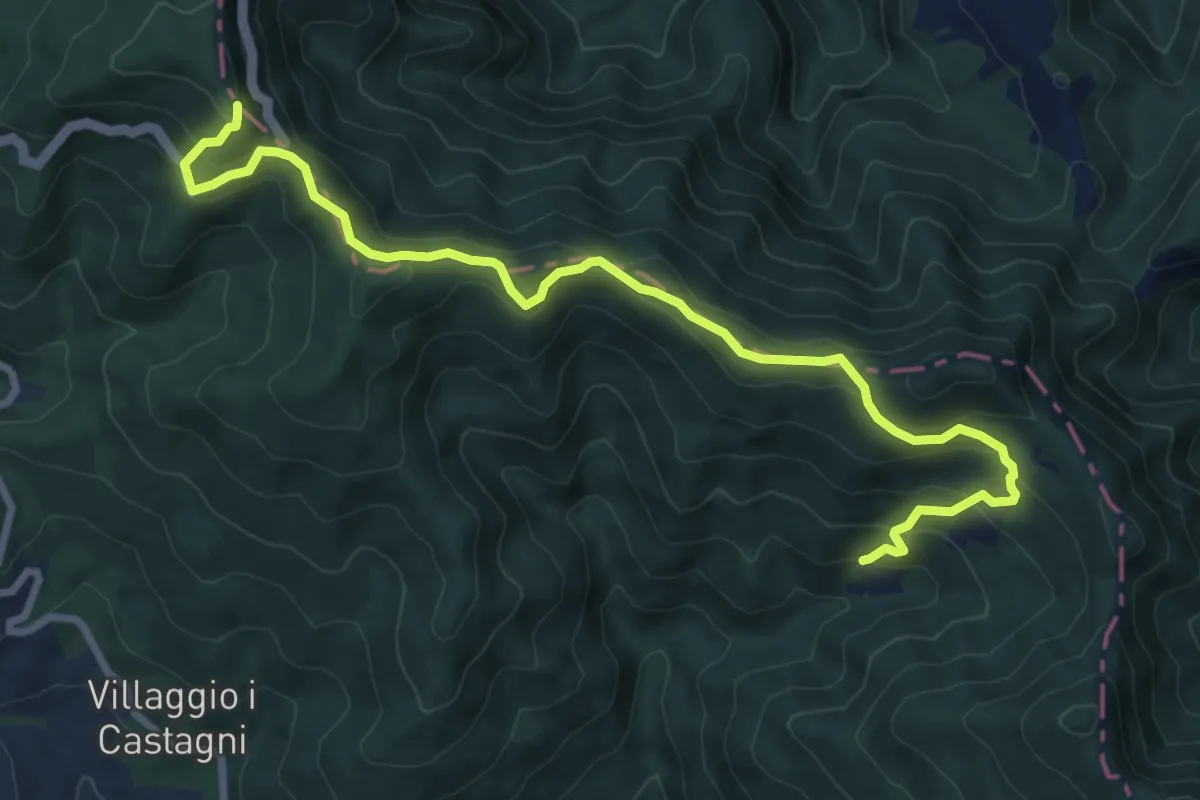
Medium · Summit
Il Cammino di Sant'Antonio: Tappa 22
4.9 km · ↑ 387 m · 1 h 55 min · 14 km away
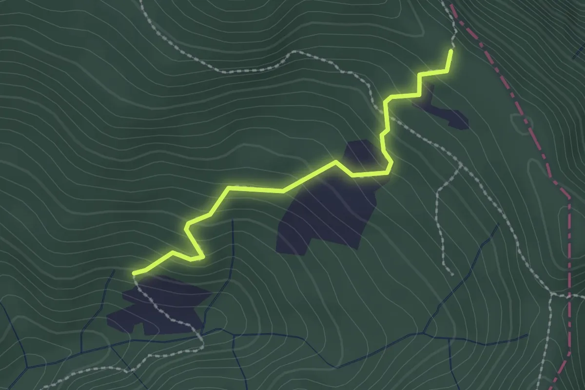
Easy · Trail
Frassineta – Passo di Serra
2.2 km · ↑ 173 m · 54 min · 14 km away
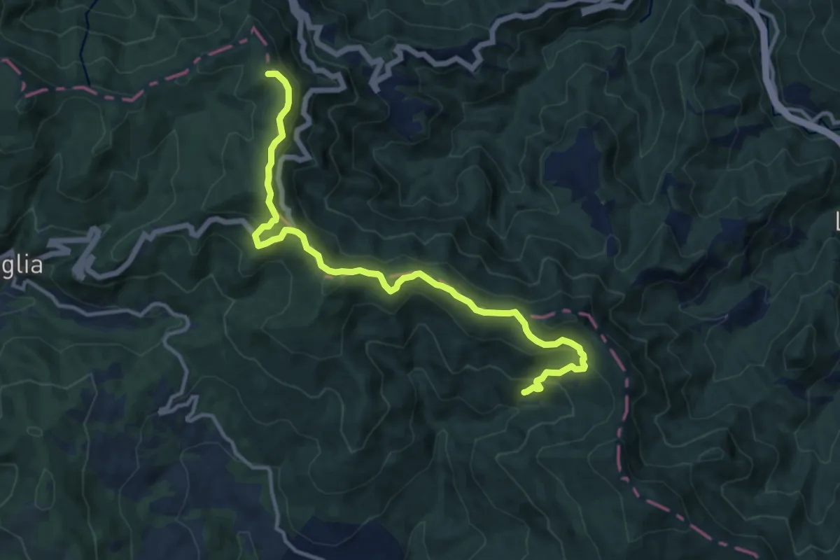
Medium · Summit
Alta Via dei Parchi: Tappa 24
12.7 km · ↑ 636 m · 4 h 22 min · 14 km away
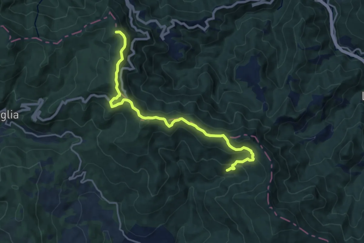
Medium · Summit
Il Sentiero delle Foreste Sacre: Tappa 6
12.7 km · ↑ 636 m · 4 h 22 min · 14 km away
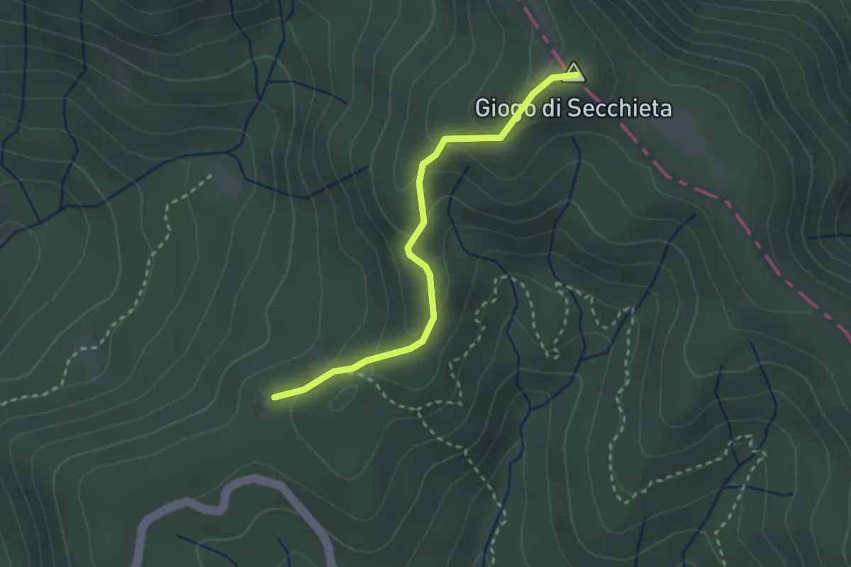
Easy · Summit
La Via dei Legni
2.7 km · ↑ 149 m · 58 min · 14 km away
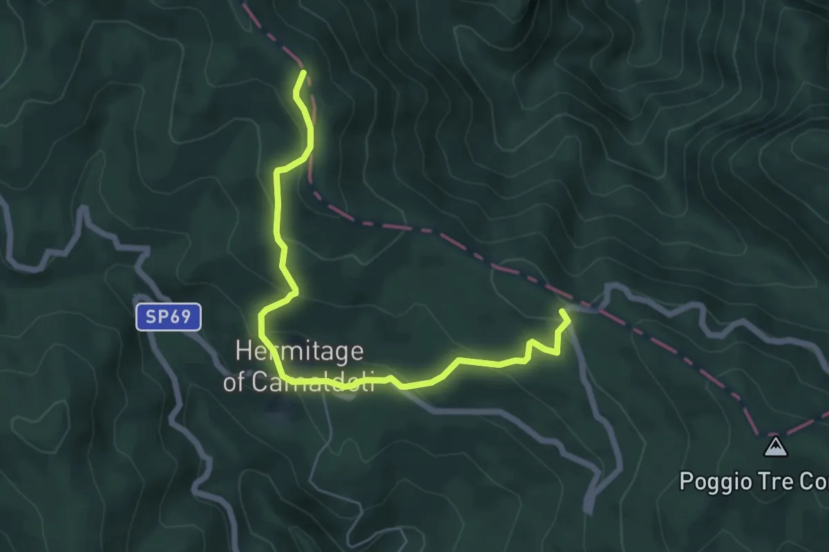
Medium · Trail
E1 Toscana 18 Variante 18.1
6.0 km · ↑ 363 m · 2 h 12 min · 14 km away
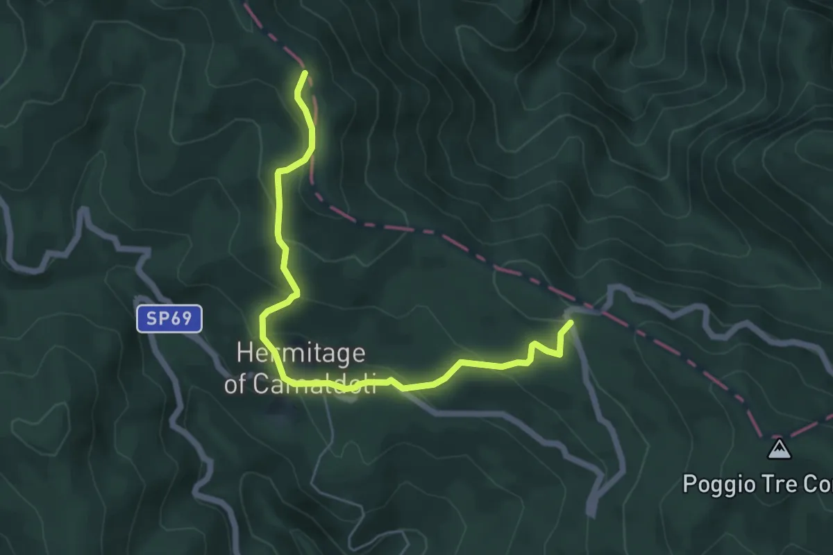
Medium · Trail
Variante Eremo di Camaldoli
5.9 km · ↑ 363 m · 2 h 11 min · 14 km away
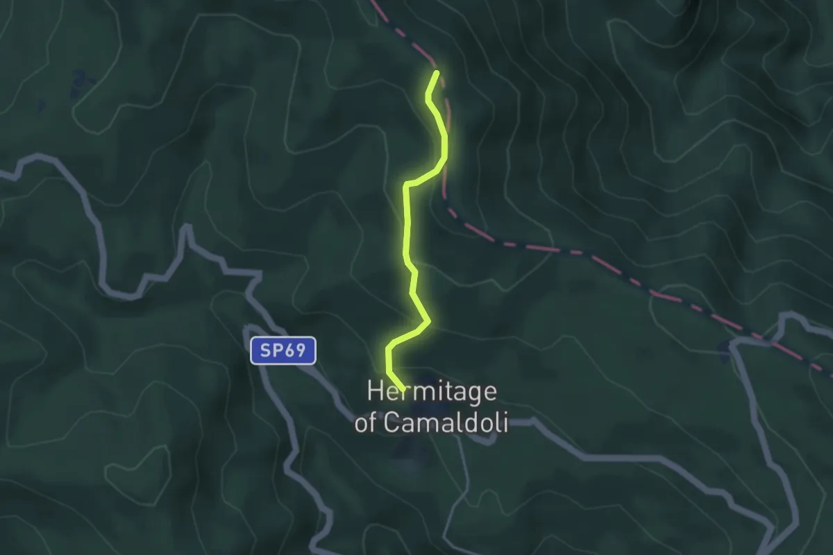
Medium · Trail
Camaldoli – Prato Bertone
2.8 km · ↑ 209 m · 1 h 7 min · 14 km away
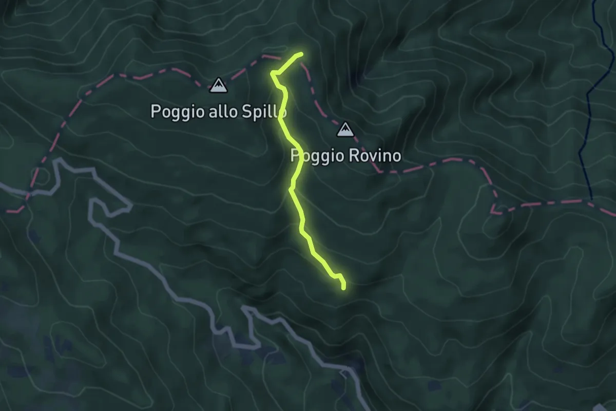
Easy · Trail
Campo dell'Agio – Passo della Crocina
3.5 km · ↑ 272 m · 1 h 25 min · 14 km away
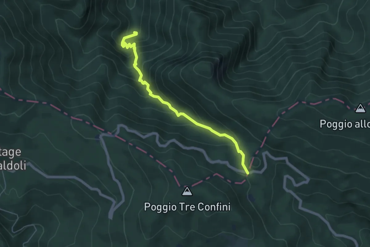
Medium · Cabin
Sentiero degli Scalandrini
5.2 km · ↑ 497 m · 2 h 18 min · 14 km away
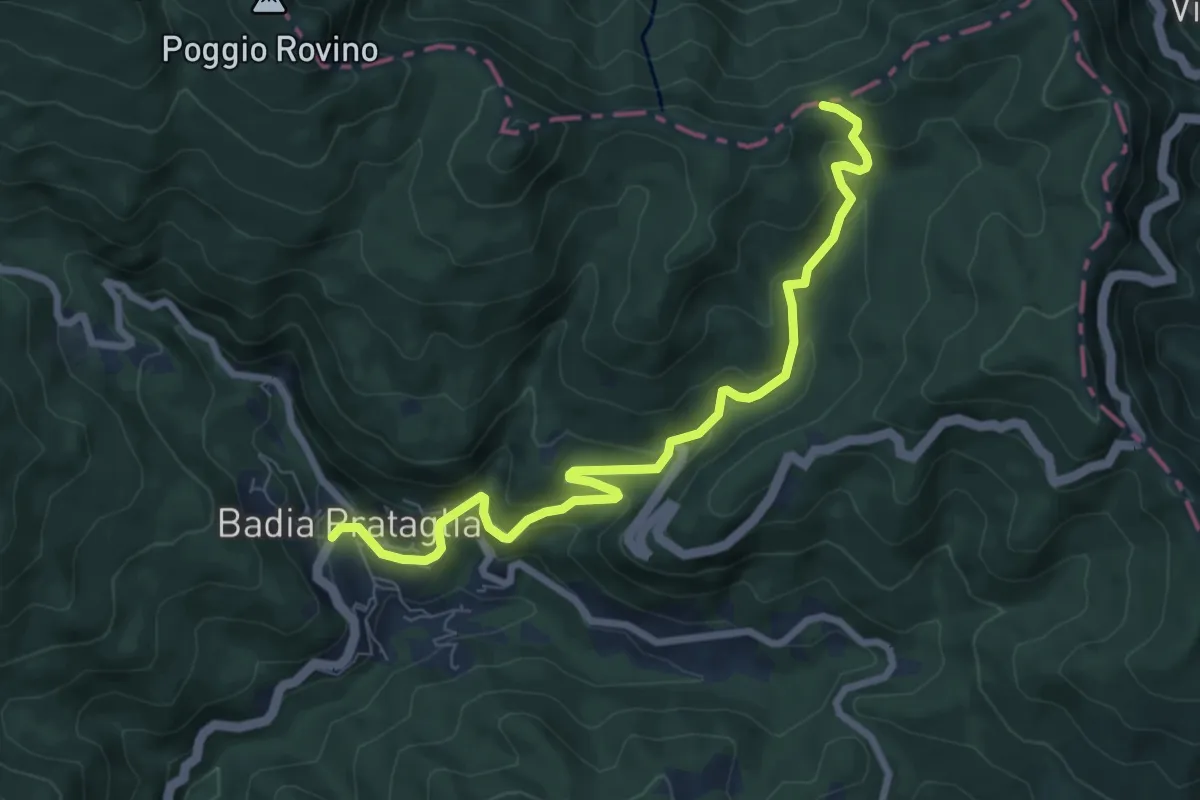
Medium · Trail
Badia Prataglia – Passo dei Lupatti
8.3 km · ↑ 454 m · 2 h 56 min · 14 km away