Trails near Bibbiena
121 hikes starting within 15 km, nearest first.
Nearest first, page 3 of 3
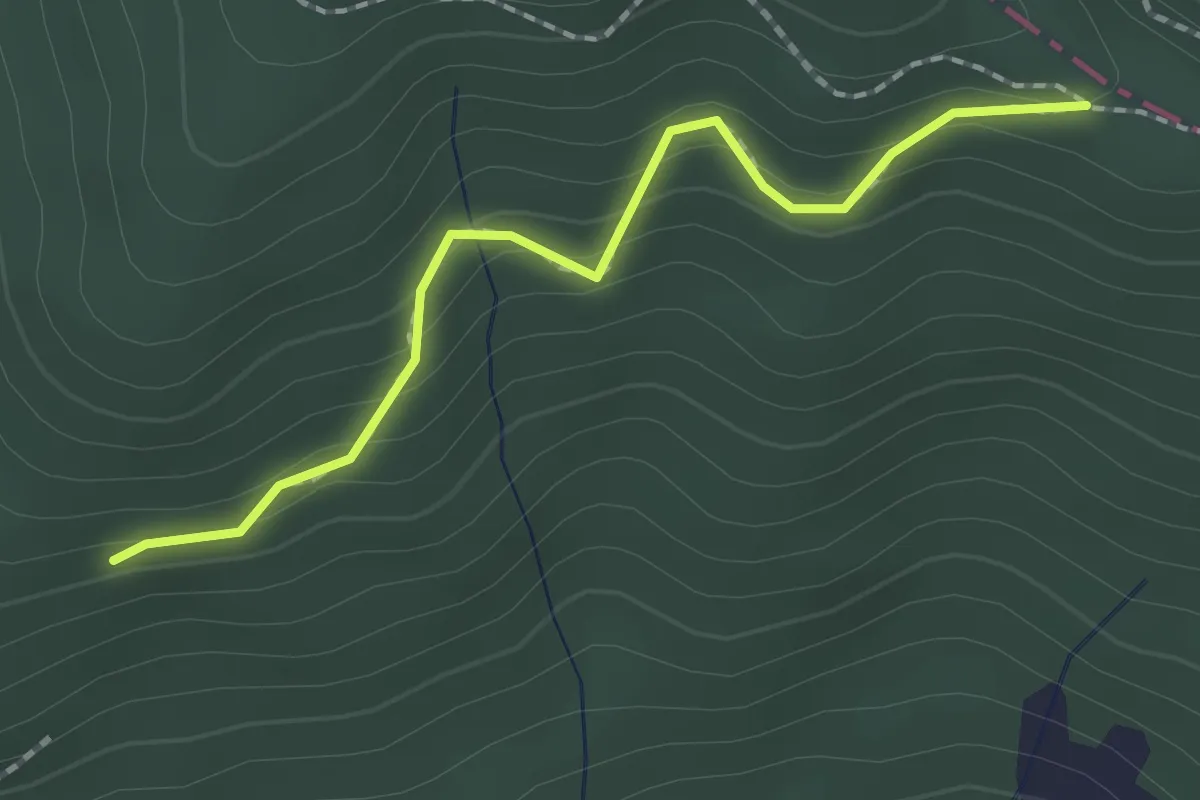
Easy · Trail
Molino di Corezzo – Percorso 00
2.0 km · ↑ 132 m · 45 min · 14 km away
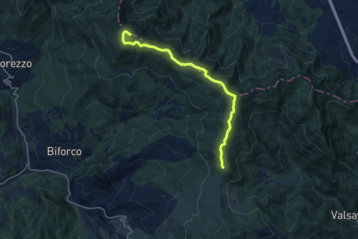
Medium · Summit
E1 Toscana 19 Badia Prataglia - Chiusi della Verna
11.4 km · ↑ 525 m · 3 h 49 min · 14 km away
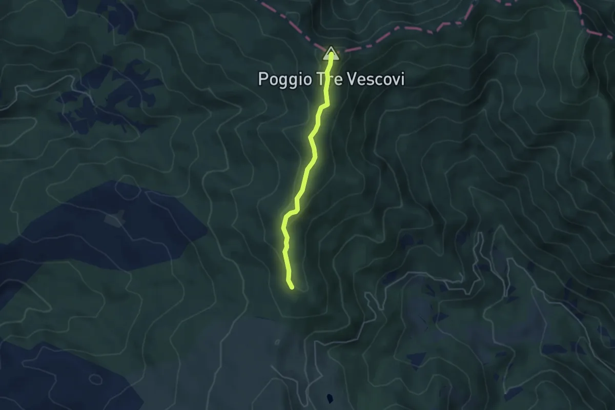
Easy · Summit
Chiusi della Verna – Passo Rotta dei Cavalli - Innesto con L04N fino a Badia Prataglia
3.8 km · ↑ 178 m · 1 h 17 min · 14 km away
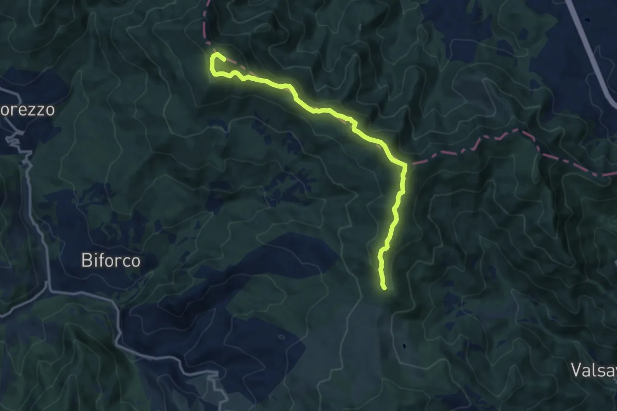
Medium · Summit
Via Romea - Tratto Toscana - Alternativa la Verna
11.4 km · ↑ 525 m · 3 h 49 min · 14 km away
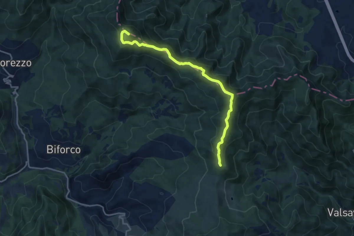
Medium · Summit
Grande Escursione Appenninica - Tappa 4
11.4 km · ↑ 525 m · 3 h 49 min · 14 km away
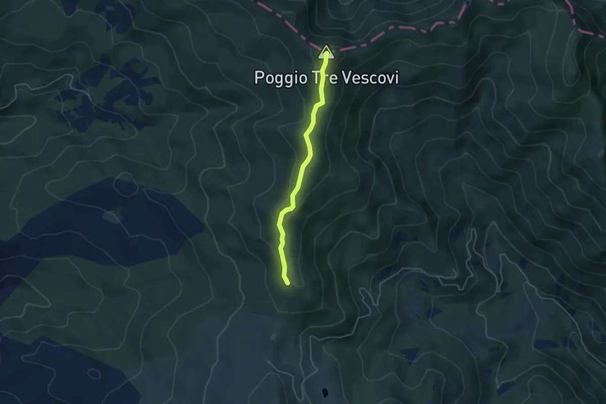
Easy · Summit
Sentiero CAI 50
3.8 km · ↑ 177 m · 1 h 17 min · 14 km away
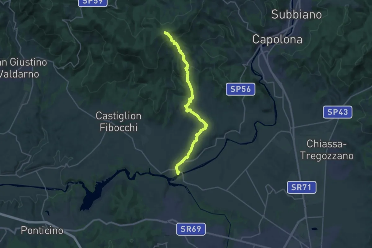
Demanding · Trail
Ponte Buriano – Innesto sentiero 900 presso Spedale
19.3 km · ↑ 594 m · 5 h 50 min · 14 km away
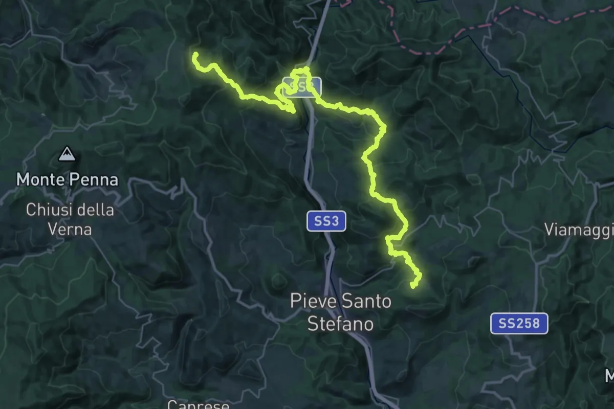
Demanding · Trail
Innesto Sentiero 2 a Strazzano – innesto Sentiero 59 a Gualanciole
19.3 km · ↑ 760 m · 6 h 38 min · 14 km away
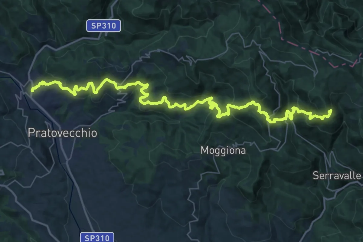
Demanding · Summit
Stia – Badia Prataglia
36.7 km · ↑ 2297 m · 13 h 39 min · 15 km away
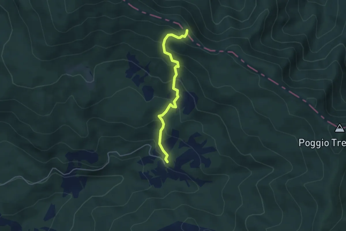
Easy · Trail
Sentiero 059 presso Loc Nocette – Sentiero Italia (ex GEA) c/o Rotta dei Cavalli
3.8 km · ↑ 296 m · 1 h 32 min · 15 km away
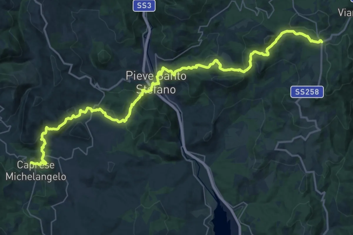
Demanding · Trail
Passo di Viamaggio – Caprese Michelangelo
17.3 km · ↑ 984 m · 6 h 16 min · 15 km away
Demanding · Trail
E1 Toscana 21 Caprese Michelangelo - Passo di Viamaggio
17.1 km · ↑ 994 m · 6 h 14 min · 15 km away
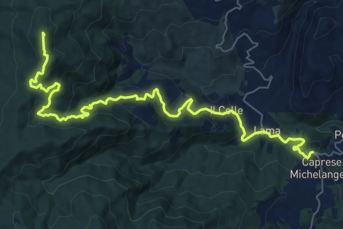
Demanding · Summit
Grande Escursione Appenninica - Tappa 3
21.2 km · ↑ 1024 m · 7 h 14 min · 15 km away
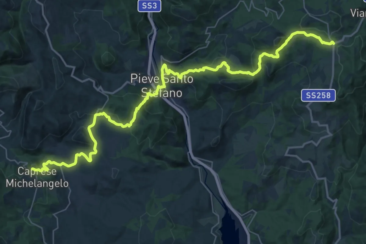
Demanding · Trail
Grande Escursione Appenninica - Tappa 2
18.0 km · ↑ 872 m · 6 h 13 min · 15 km away
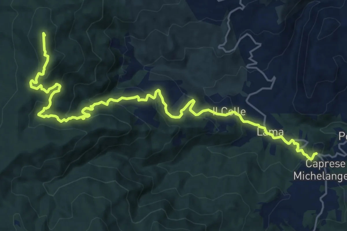
Demanding · Summit
Caprese Michelangelo – Chiusi della Verna
20.0 km · ↑ 977 m · 6 h 51 min · 15 km away
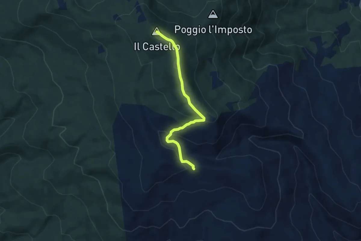
Demanding · Summit
Sentiero 502 (032) presso Monte Filetto – Sentiero 50 presso Monte il Castello
6.6 km · ↑ 303 m · 2 h 13 min · 15 km away
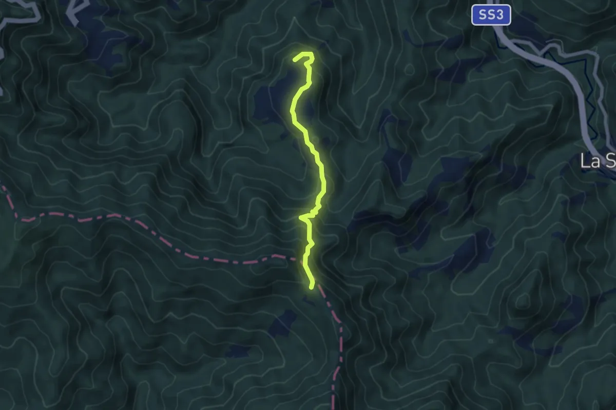
Medium · Summit
Mulattiera del Granduca
5.0 km · ↑ 401 m · 2 h 4 min · 15 km away
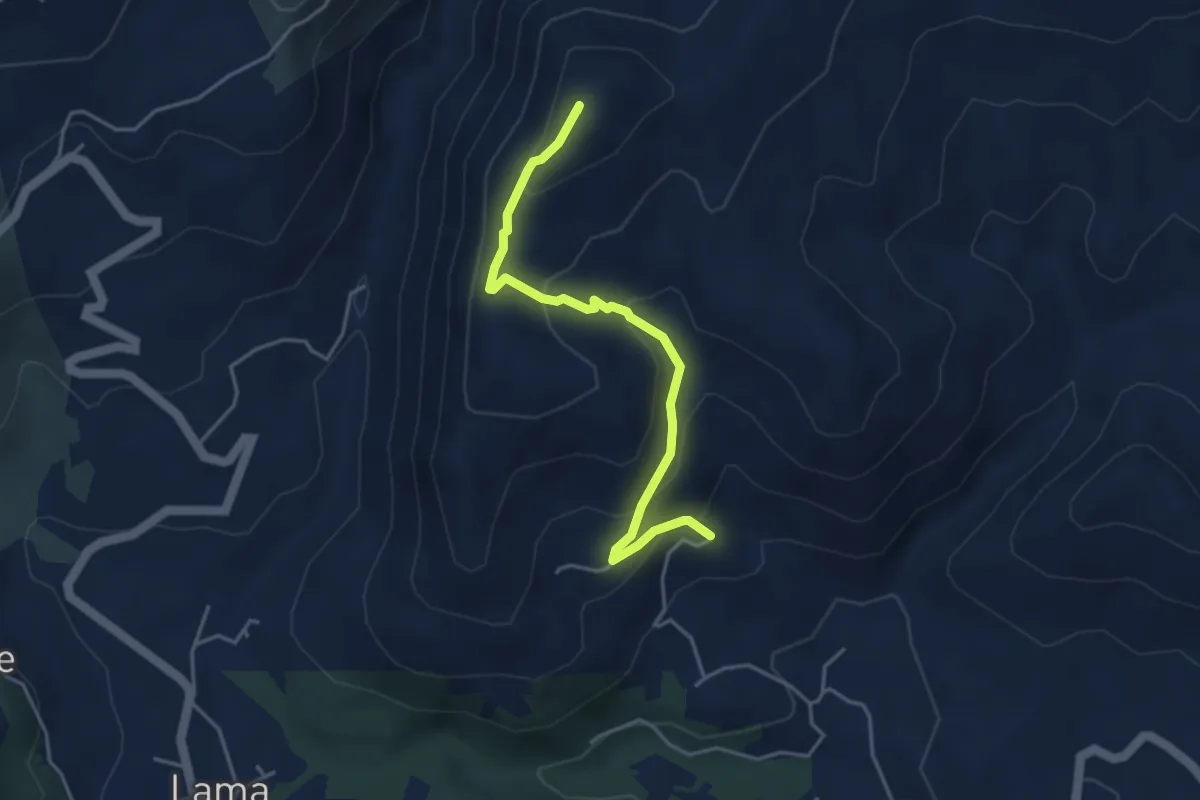
Easy · Summit
Sentiero 78 presso Croce Coperta – Tifi
4.3 km · ↑ 258 m · 1 h 35 min · 15 km away
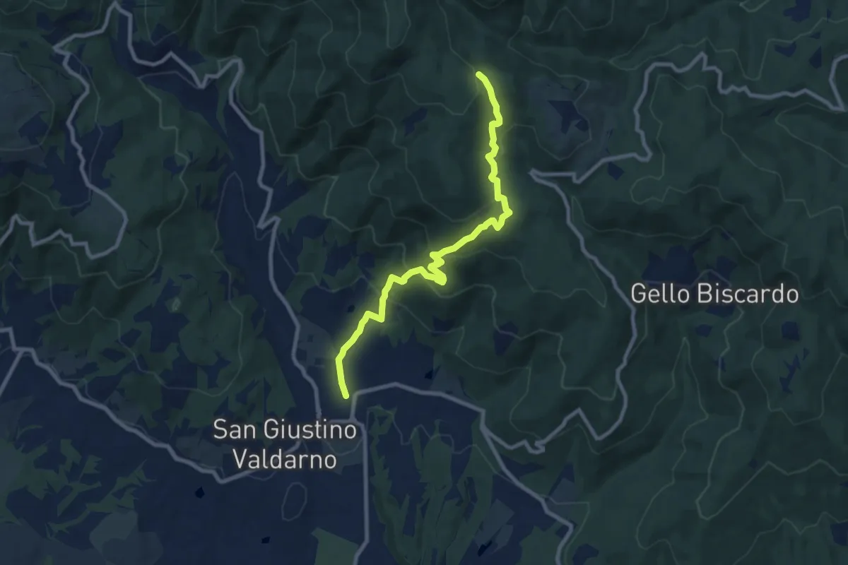
Medium · Trail
San Giustino Valdarno – Sentiero 00
9.2 km · ↑ 542 m · 3 h 21 min · 15 km away
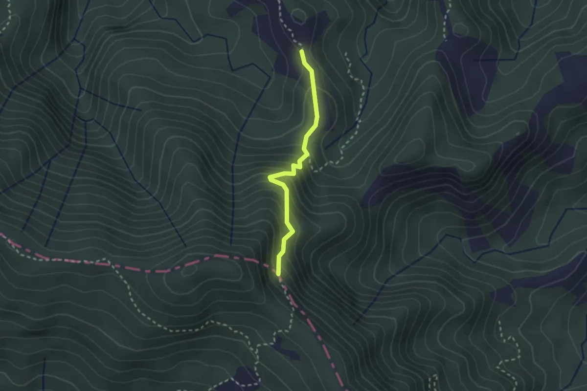
Medium · Trail
Via Romea - Tratto Emilia-Romagna
2.3 km · ↑ 247 m · 1 h 4 min · 15 km away
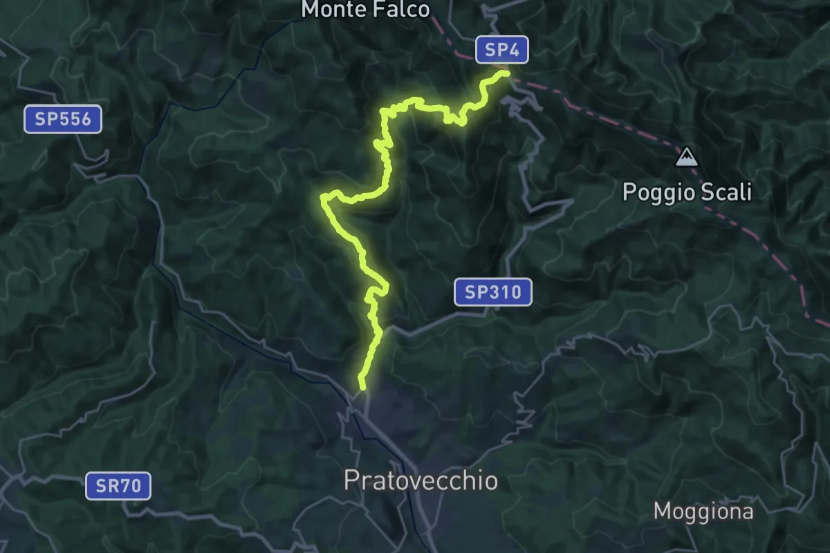
Demanding · Cabin
Stia – Passo della Calla
13.2 km · ↑ 1163 m · 5 h 24 min · 15 km away
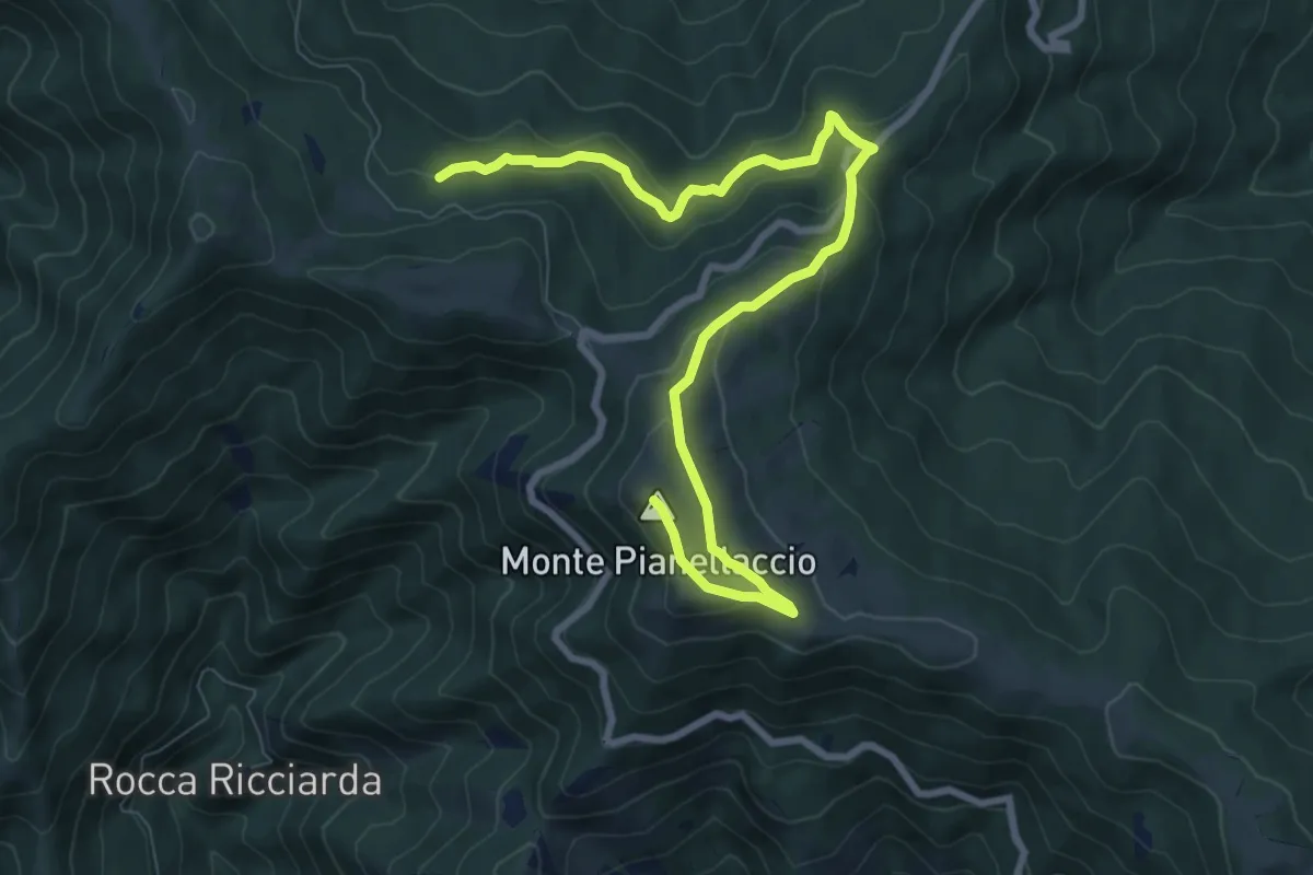
Medium · Summit
Hinkler Ring
10.3 km · ↑ 458 m · 3 h 25 min · 15 km away
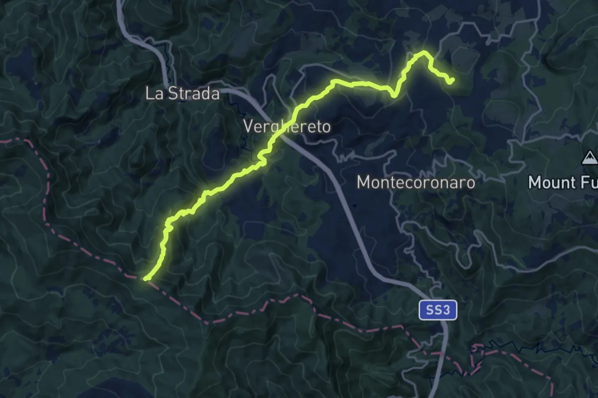
Demanding · Trail
Rotta dei Cavalli – Percorso 141
18.2 km · ↑ 1166 m · 6 h 49 min · 15 km away
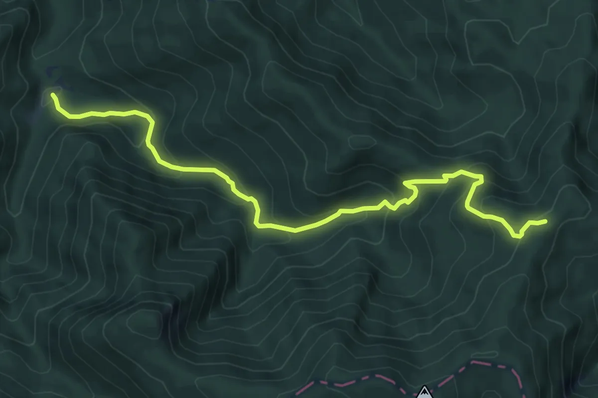
Medium · Cabin
Sentiero dei Forconali
8.2 km · ↑ 569 m · 3 h 10 min · 15 km away
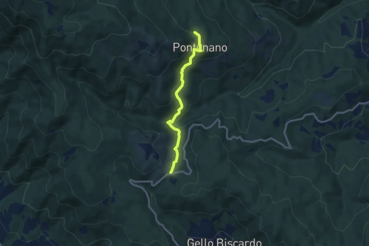
Easy · Trail
Pontenano – Sentiero 00 presso Passo della Crocina
6.1 km · ↑ 290 m · 2 h 4 min · 15 km away