Trails near Bolzano - Bozen
117 hikes starting within 15 km, nearest first.
Nearest first, page 2 of 3
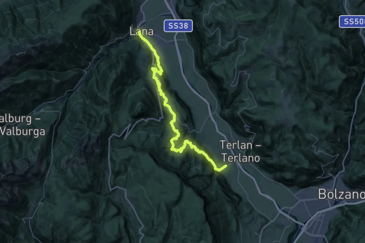
Demanding · Pilgrim path
Jakobsweg Andrian => Lana - Cammino di San Giacomo Andriano => Lana
21.7 km · ↑ 1129 m · 7 h 51 min · 10 km away
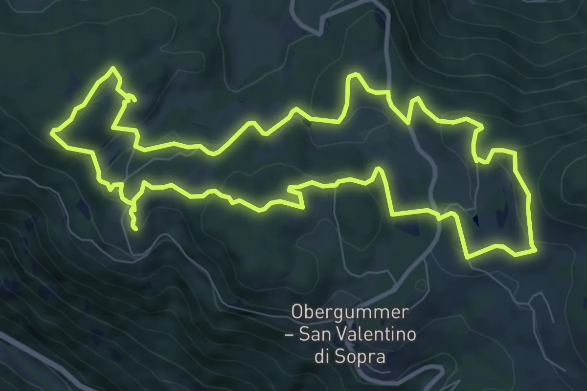
Medium · Trail
Planetenweg - Sentiero dei pianeti
9.0 km · ↑ 266 m · 2 h 50 min · 10 km away
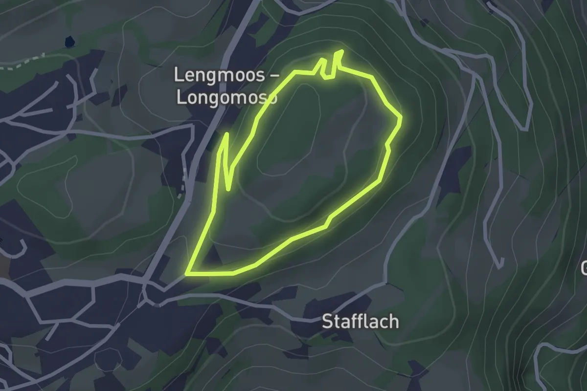
Easy · Trail
Fenn Promenade
2.2 km · ↑ 90 m · 45 min · 10 km away
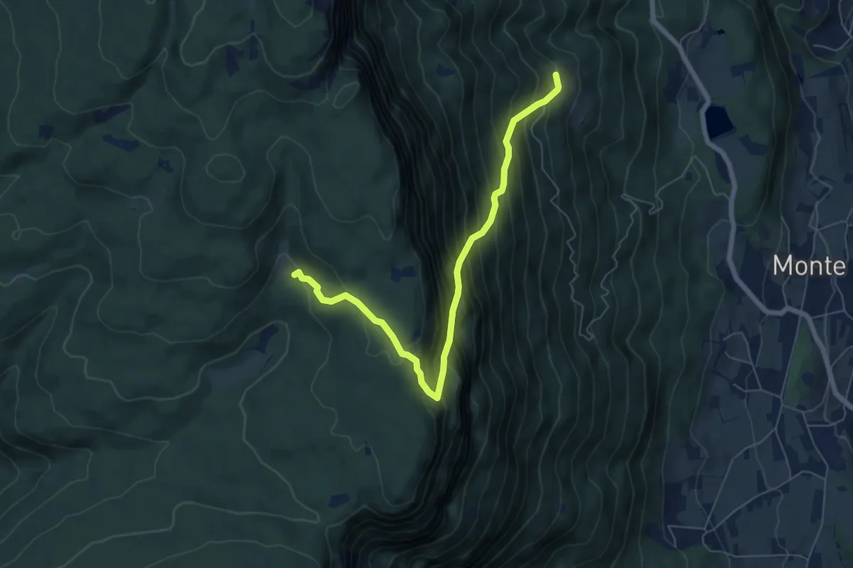
Medium · Trail
Buchwald – Prinzhütte
6.5 km · ↑ 748 m · 3 h 10 min · 10 km away
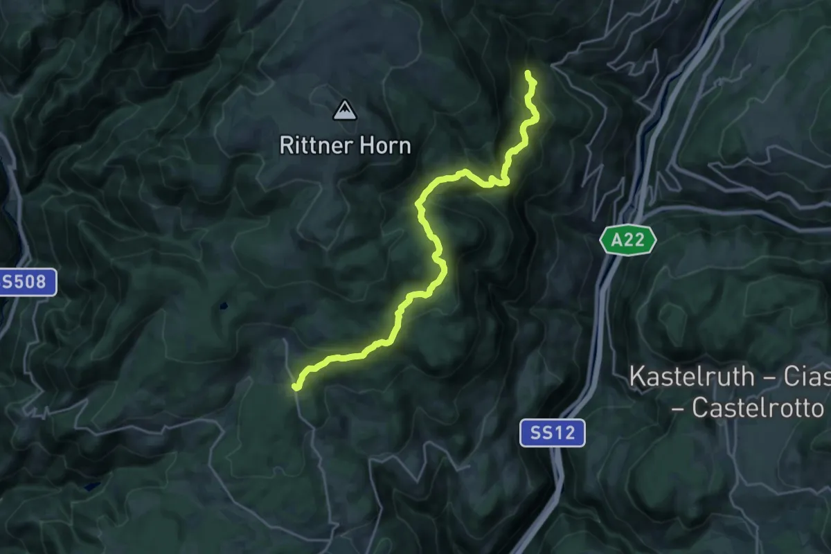
Demanding · Trail
27 - Tann => 11
21.0 km · ↑ 1213 m · 7 h 35 min · 11 km away
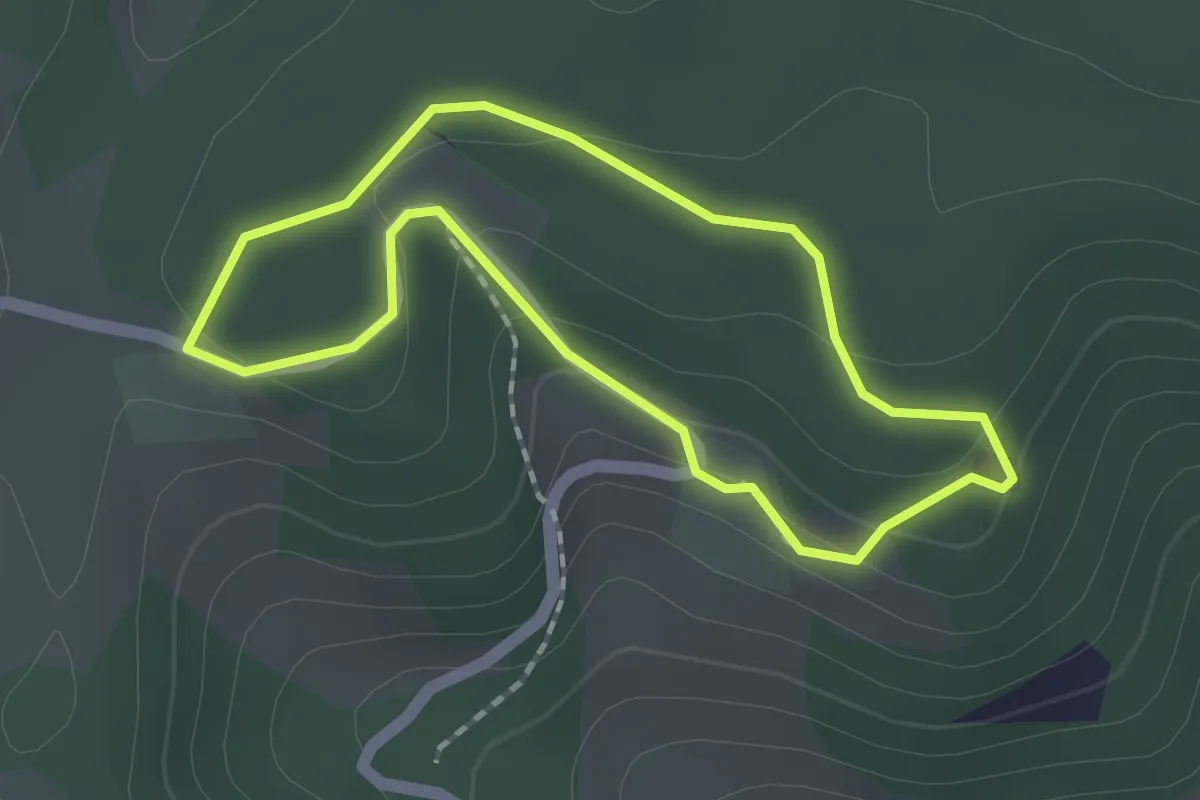
Easy · Trail
St. Agatha Rundweg
1.5 km · ↑ 44 m · 28 min · 11 km away
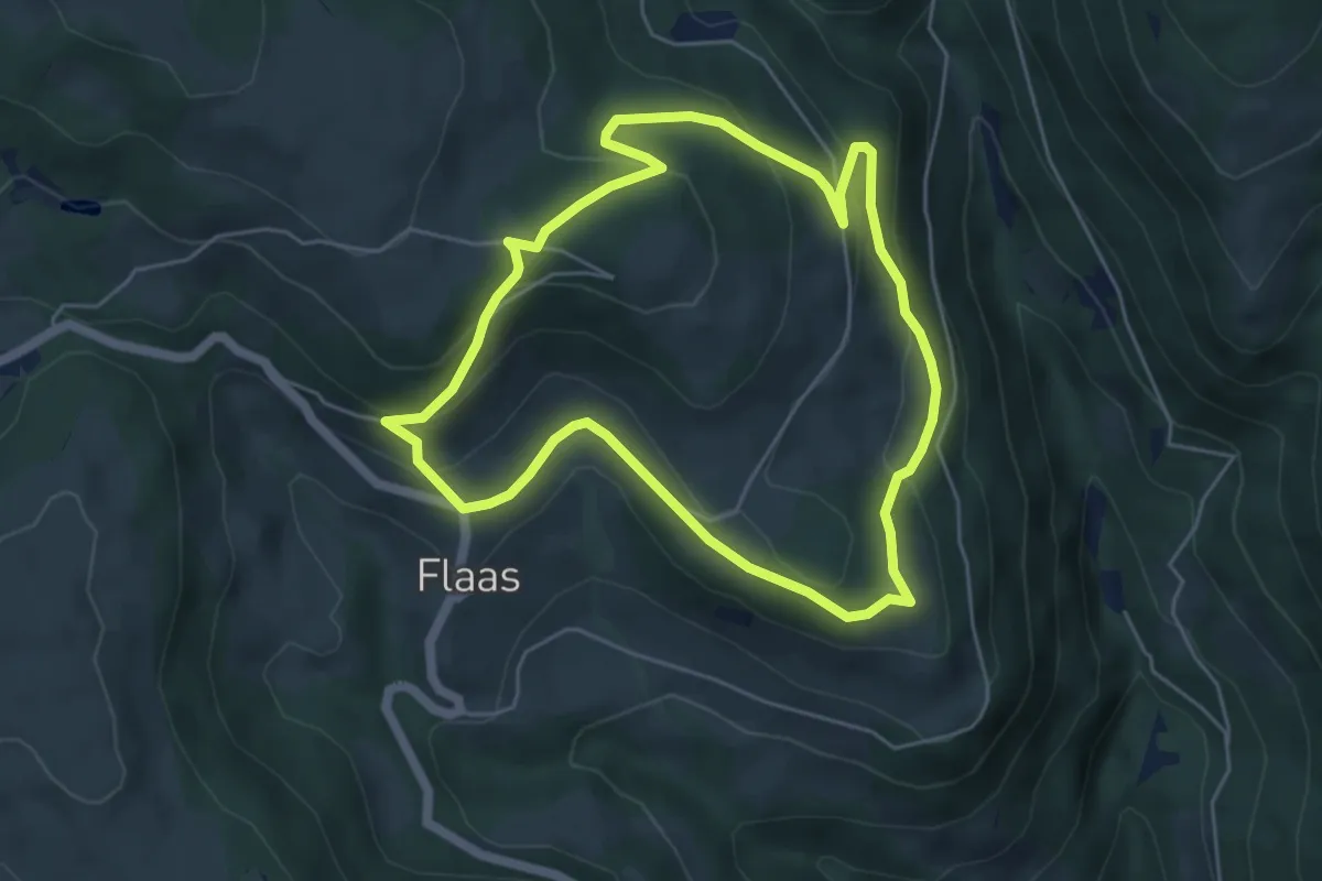
Easy · Trail
Flaaser Rundweg
5.1 km · ↑ 239 m · 1 h 47 min · 11 km away
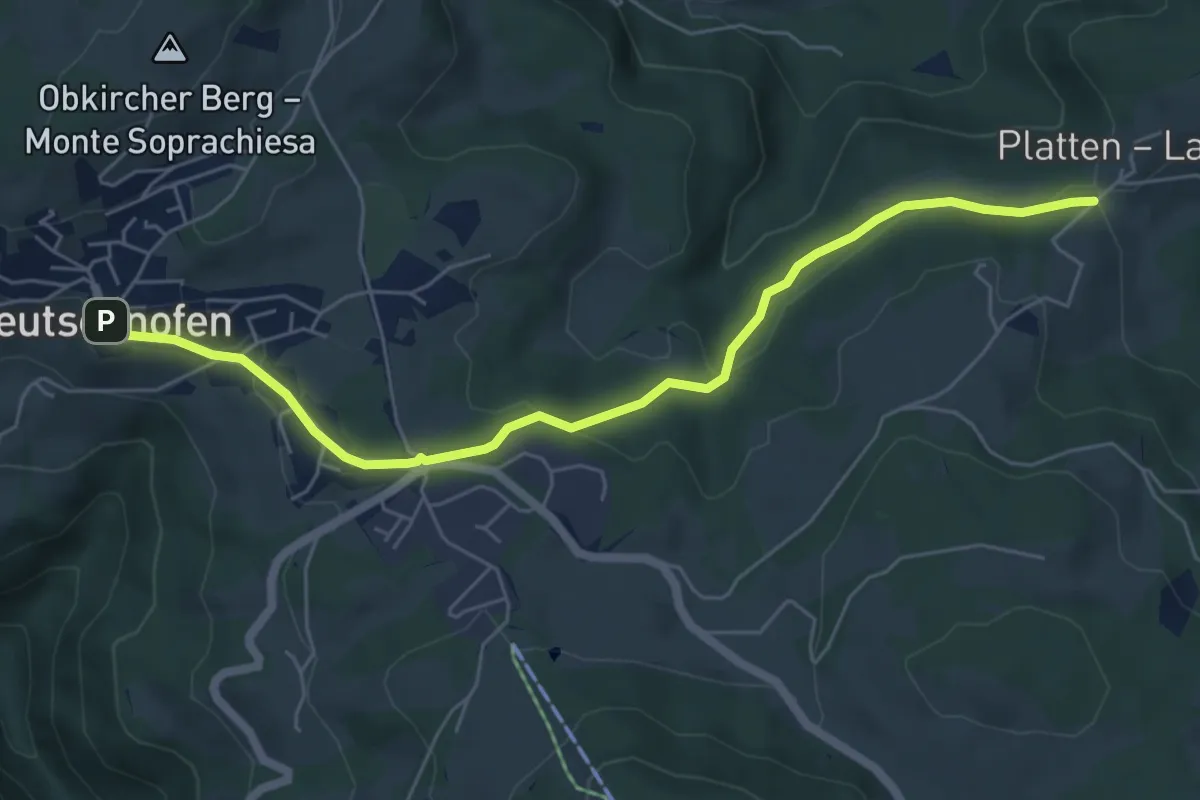
Easy · Trail
Plattenbodenweg
6.2 km · ↑ 148 m · 1 h 47 min · 11 km away
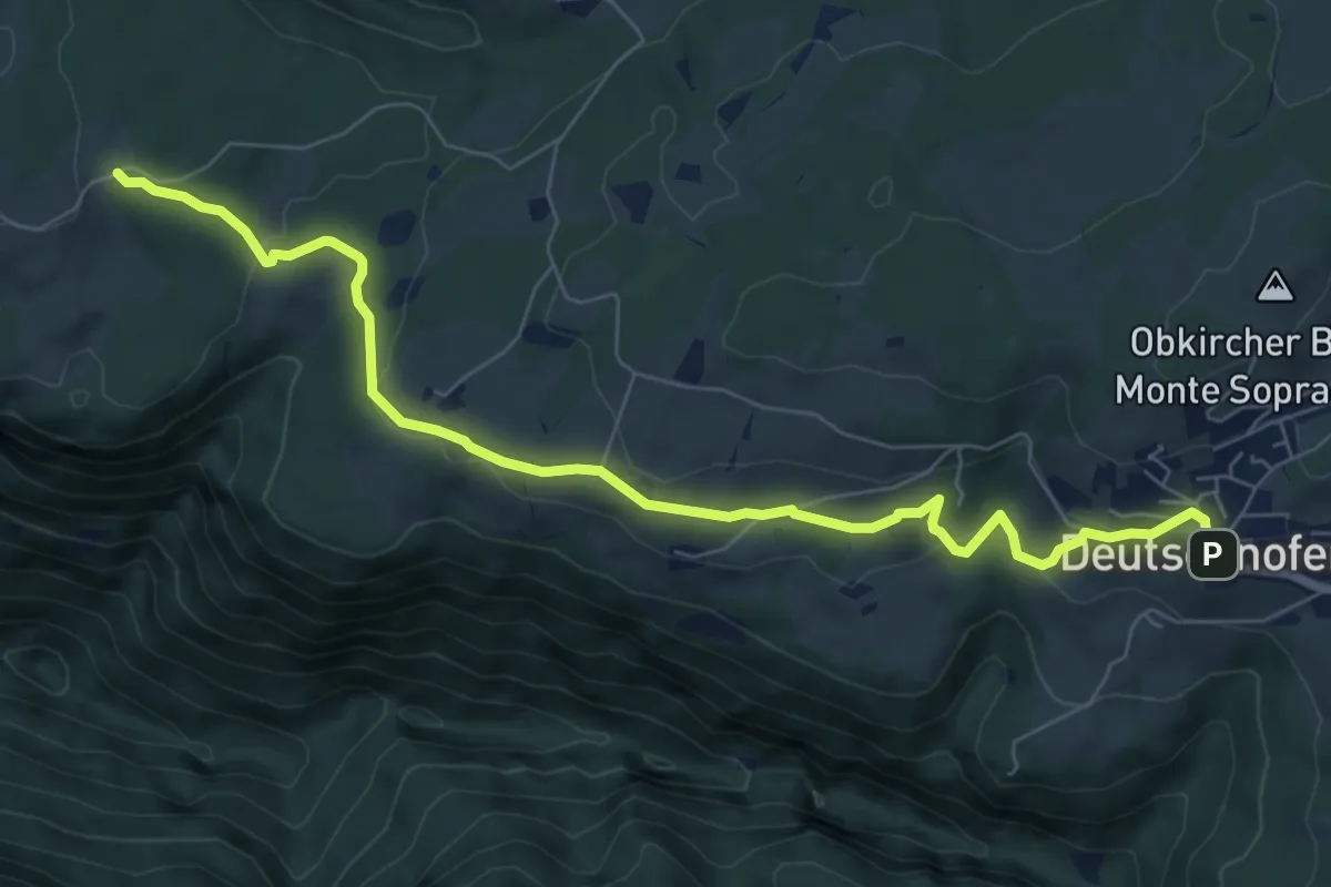
Medium · Trail
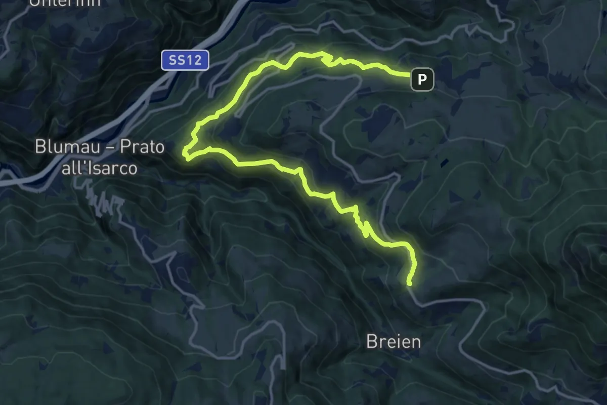
Kirchweg
8.0 km · ↑ 254 m · 2 h 27 min · 11 km away
Demanding · Trail
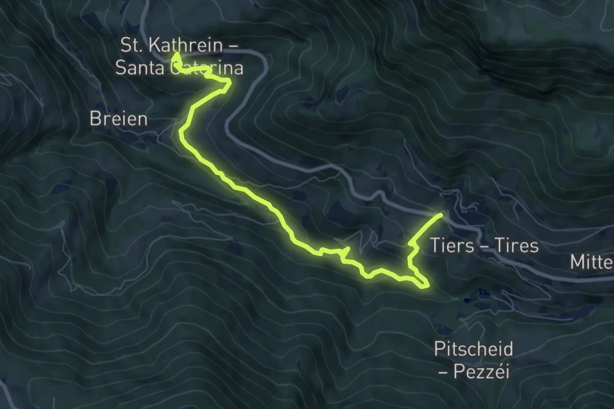
Völser Höfeweg
16.4 km · ↑ 868 m · 5 h 45 min · 11 km away
Demanding · Trail
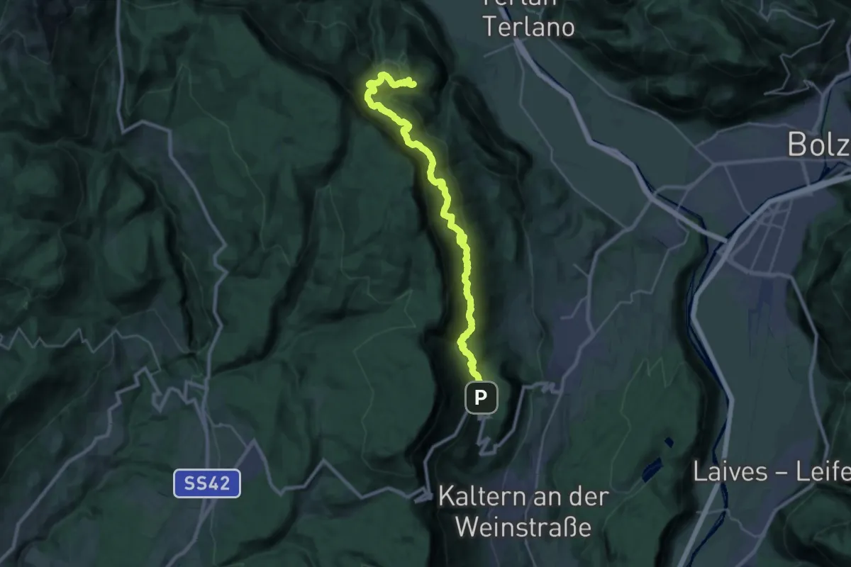
Tierser Höfeweg
9.0 km · ↑ 508 m · 3 h 14 min · 11 km away
Expert · Trail
Eppaner Höhenweg - Alta Via di Appiano
13.0 km · ↑ 888 m · 5 h 9 min · 11 km away
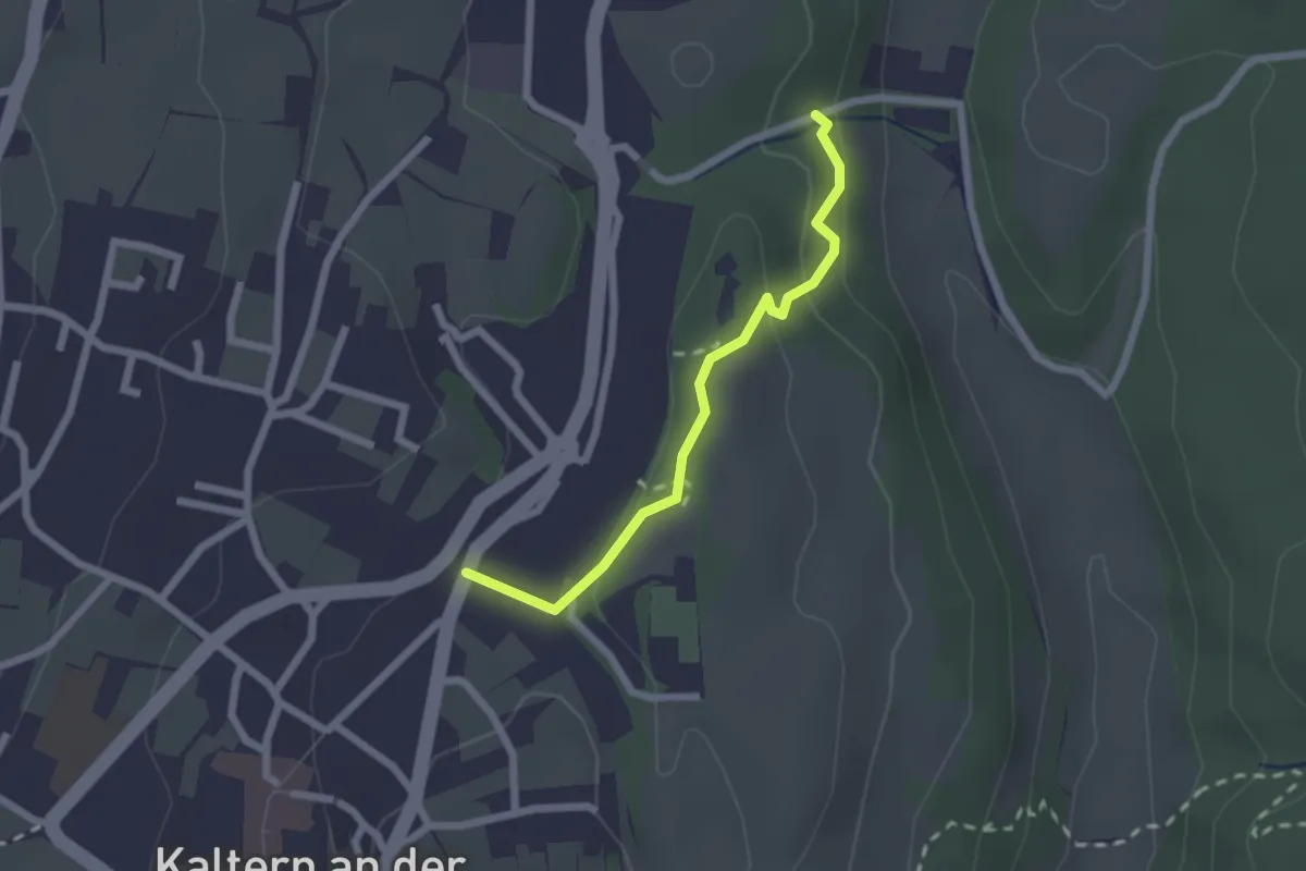
Easy · Trail
Paul Troger Weg - Via Paul Troger
2.0 km · ↑ 58 m · 35 min · 11 km away
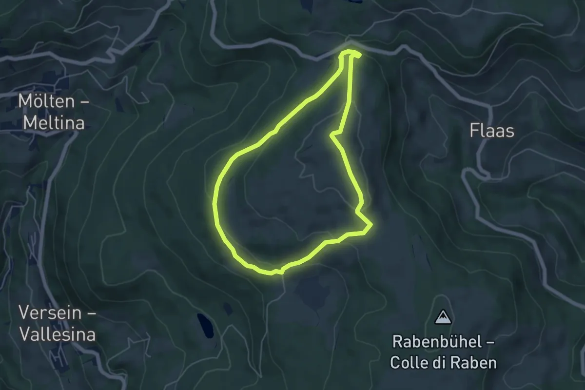
Easy · Trail
Rundweg Langfenn
4.5 km · ↑ 155 m · 1 h 28 min · 12 km away
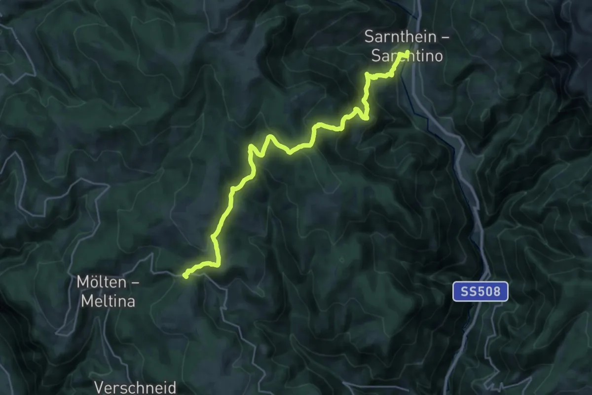
Medium · Trail
AVS 5 - Sarnthein - Premstall - Putzer Kreuz - Jenesier Jöchl - Fahrerhöfe - Schermoss
12.1 km · ↑ 476 m · 4 h 18 min · 12 km away
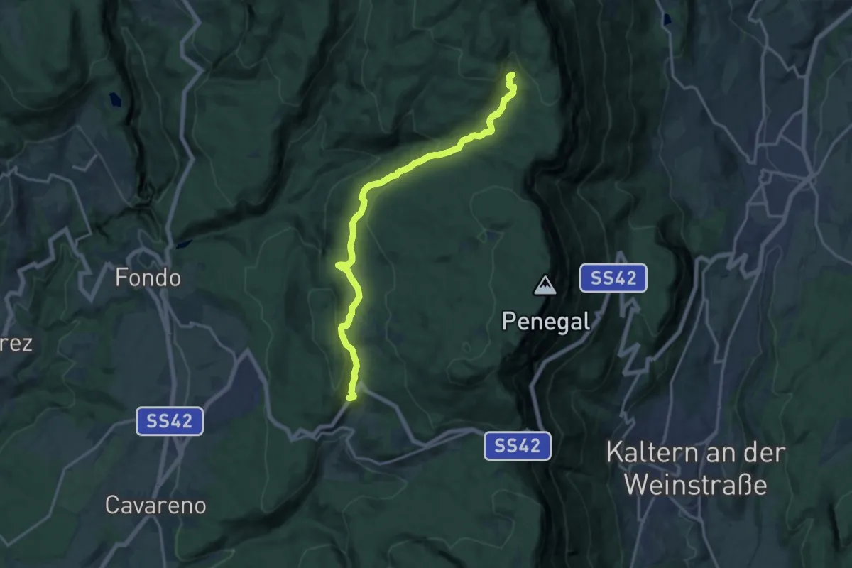
Medium · Trail
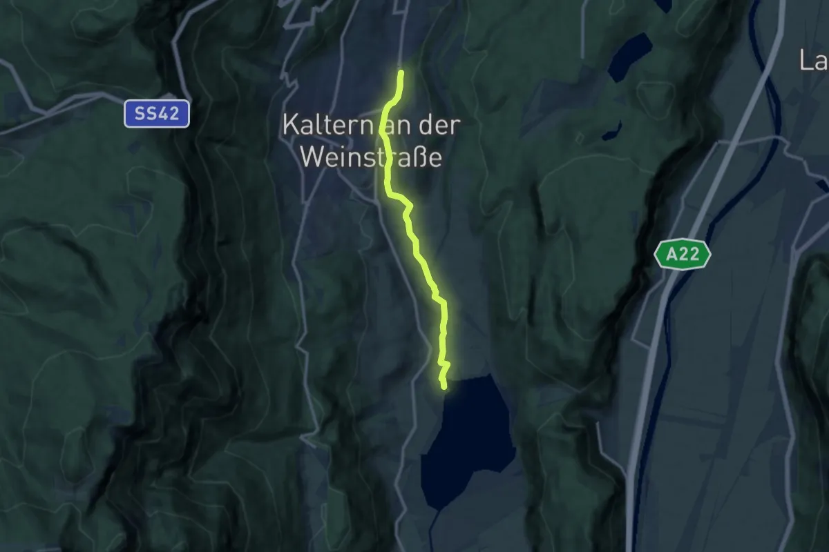
Centro sci Fondo Regole – Bait del Prinz (bivo 545 Alpenverein Südtirol - 500)
14.5 km · ↑ 429 m · 4 h 21 min · 12 km away
Medium · Trail
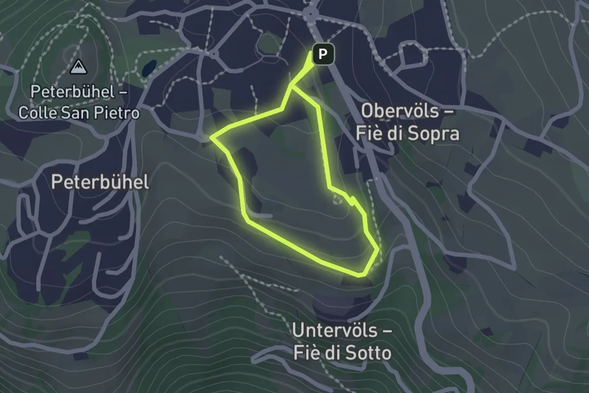
Wanderweg Kalterer See
9.2 km · ↑ 233 m · 2 h 41 min · 12 km away
Easy · Trail
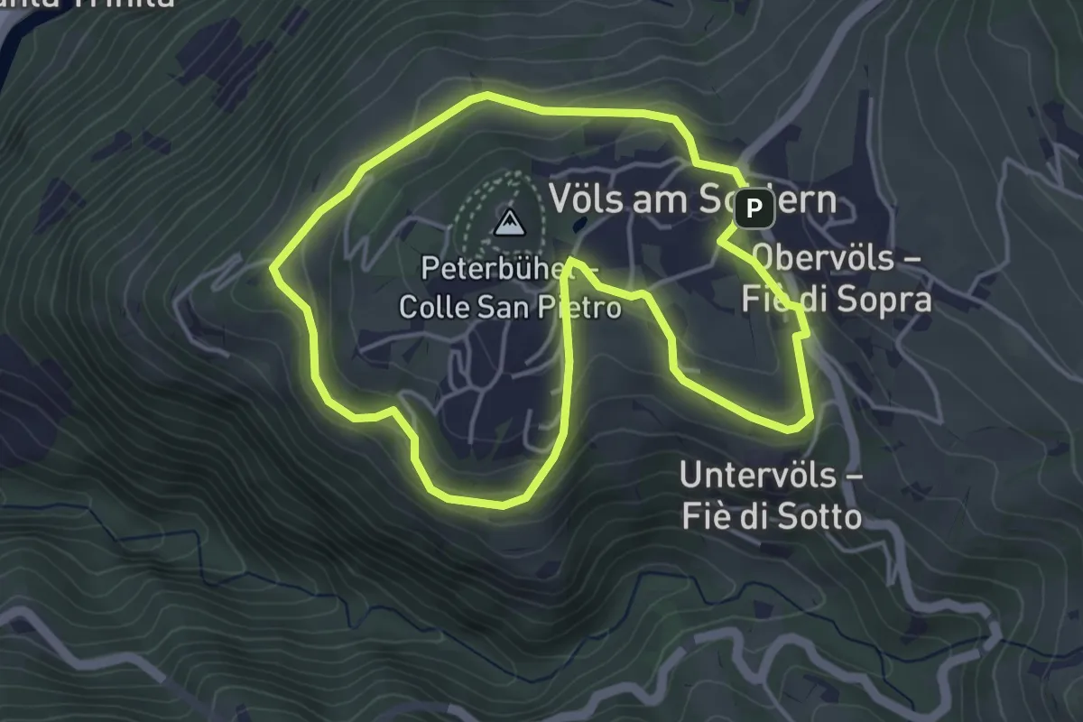
Rundweg Pfaffenbühl
1.6 km · ↑ 53 m · 30 min · 12 km away
Easy · Trail
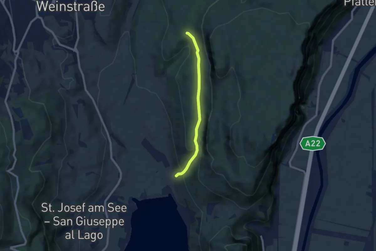
Weingartenweg
4.1 km · ↑ 166 m · 1 h 23 min · 12 km away
Easy · Trail
Kasterneienweg
4.8 km · ↑ 212 m · 1 h 36 min · 12 km away
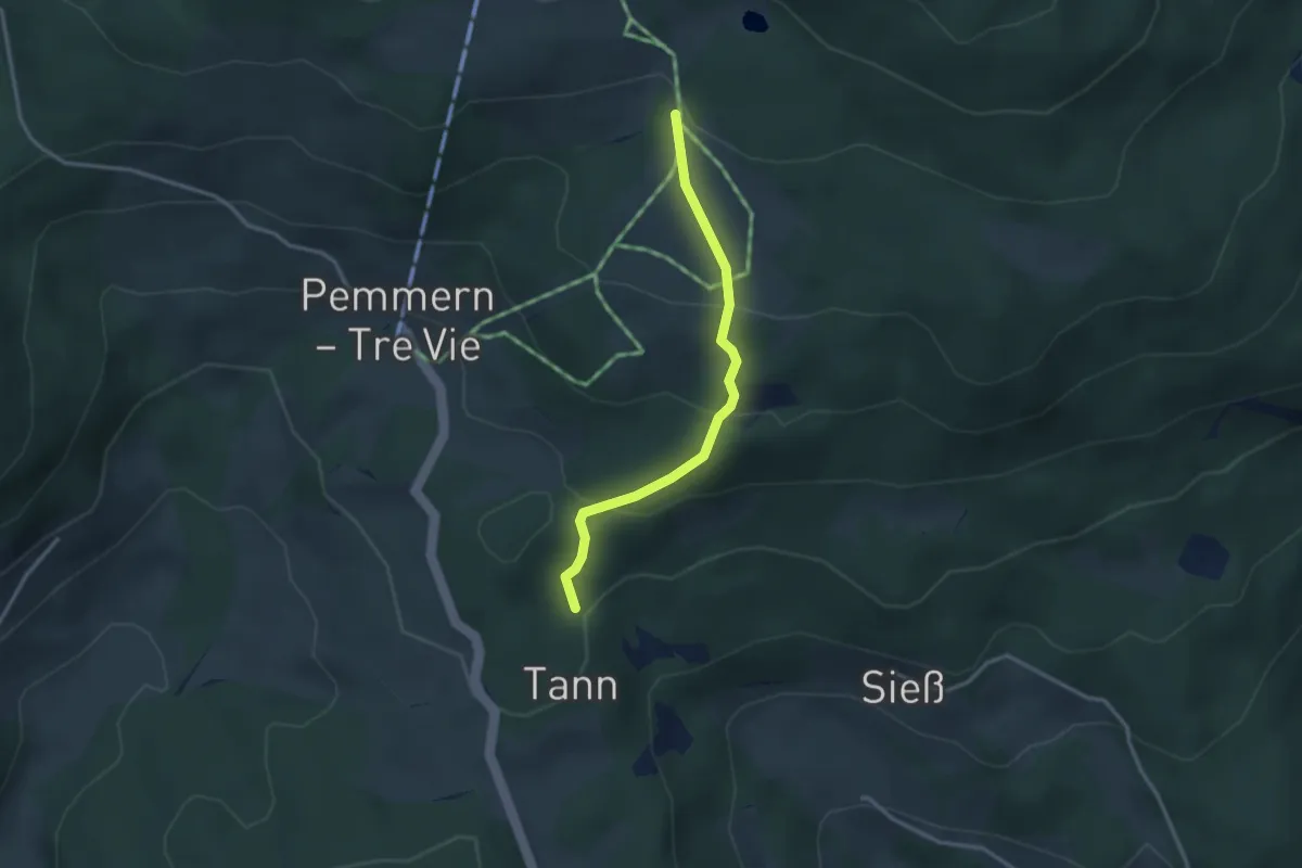
Easy · Trail
Hirtensteig
2.9 km · ↑ 171 m · 1 h 3 min · 12 km away
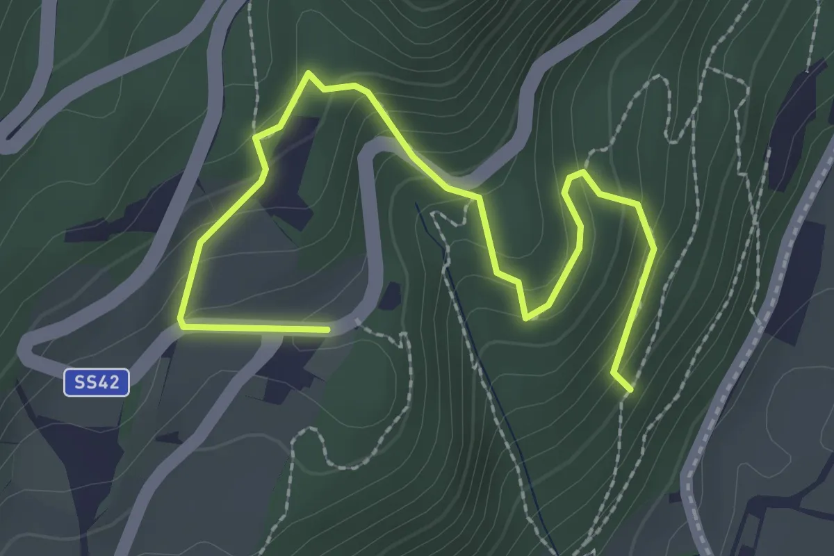
Medium · Trail
Tuiflslammerweg
3.0 km · ↑ 197 m · 1 h 8 min · 12 km away
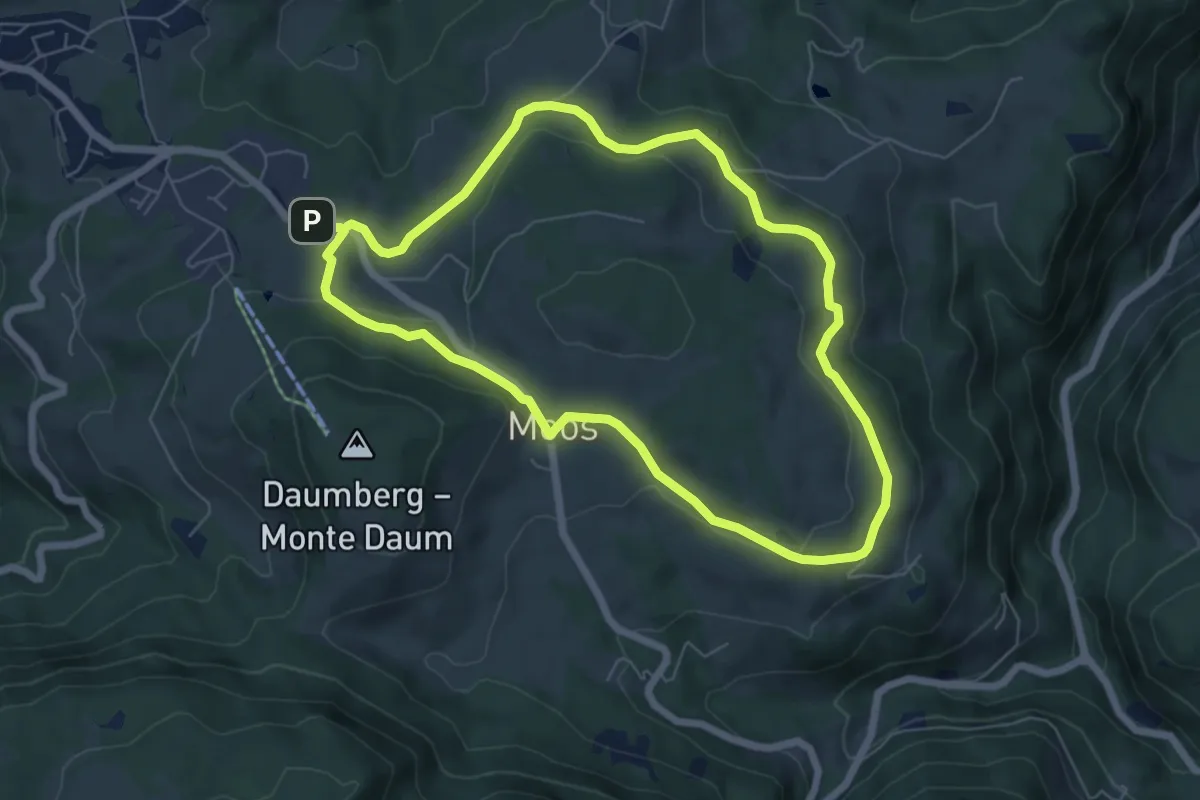
Easy · Trail
Panoramaweg
6.1 km · ↑ 109 m · 1 h 45 min · 12 km away
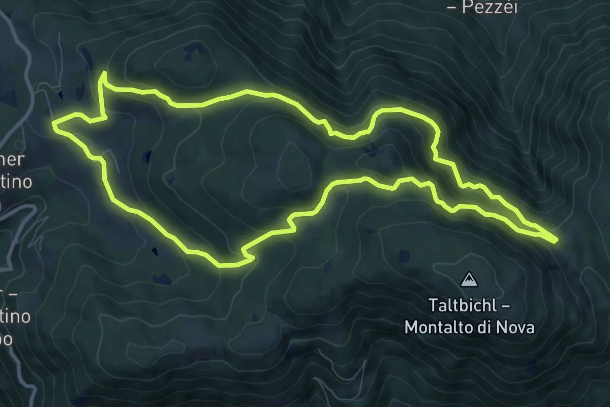
Medium · Trail
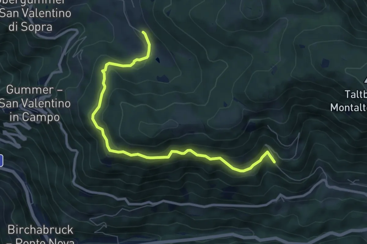
Schillerhof - Totmoos
9.8 km · ↑ 555 m · 3 h 39 min · 12 km away
Medium · Trail
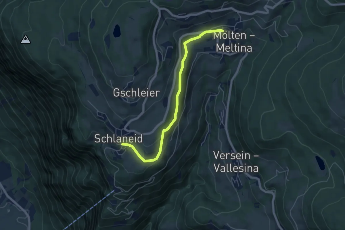
Taufenweg
7.7 km · ↑ 490 m · 2 h 53 min · 12 km away
Medium · Trail
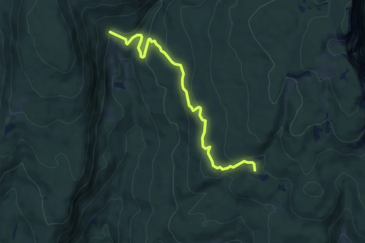
Köfeleweg
5.1 km · ↑ 195 m · 1 h 38 min · 12 km away
Medium · Cabin
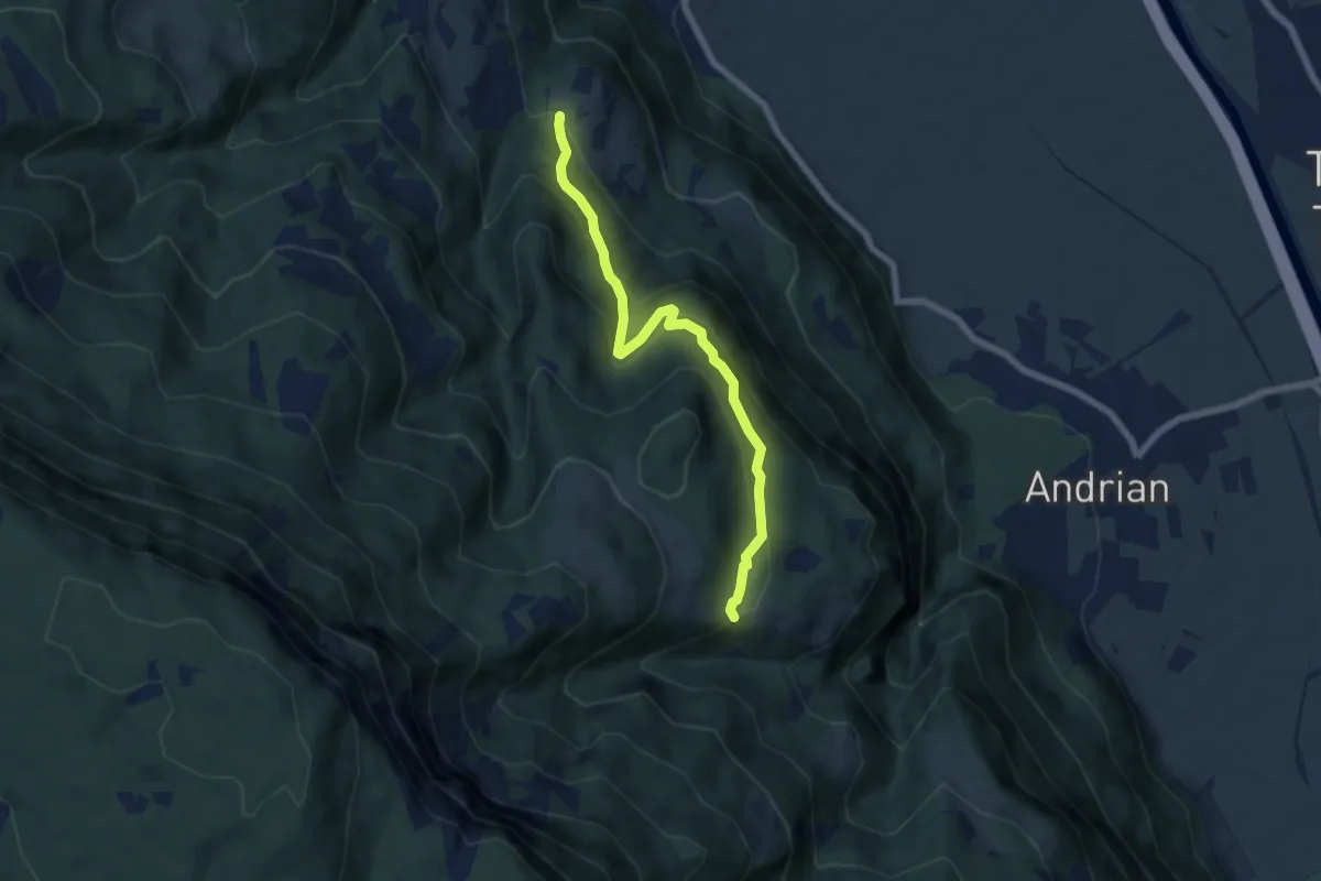
Malga di Fondo (bivio 511) – Crosara (bivio 513)
6.6 km · ↑ 211 m · 2 h 1 min · 12 km away
Medium · Trail
Larchsteig
6.3 km · ↑ 408 m · 2 h 22 min · 12 km away
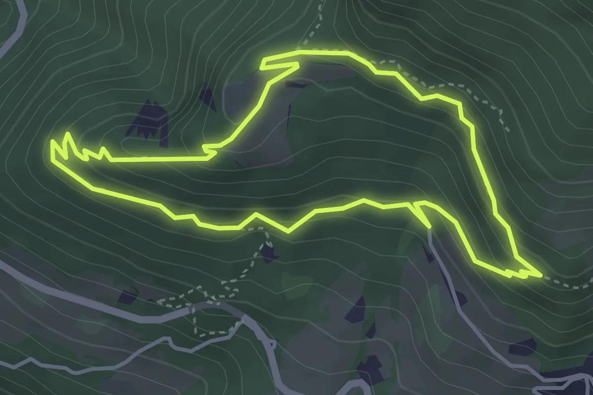
Easy · Trail
Promenadenweg (Tiers)
3.7 km · ↑ 247 m · 1 h 27 min · 13 km away
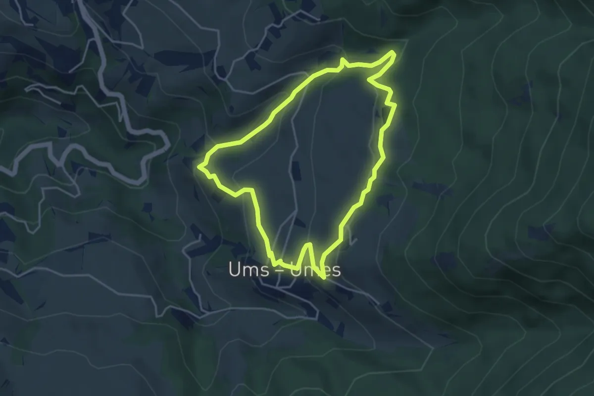
Easy · Trail
Umser Rundweg
3.8 km · ↑ 198 m · 1 h 22 min · 13 km away
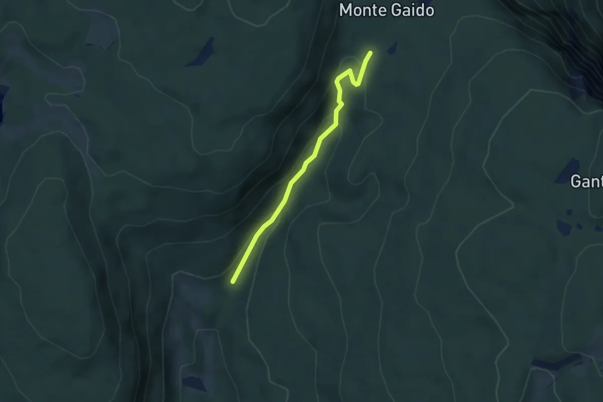
Easy · Trail
Incrocio strada Laures - parcheggio (bivio 511A) – Pradi da Laures (bivio 500)
3.2 km · ↑ 151 m · 1 h 5 min · 13 km away
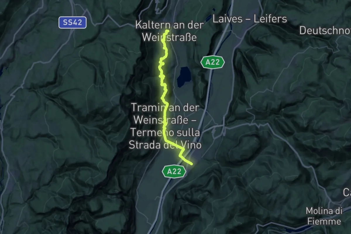
Medium · Trail
Cammino del beato Enrico - Tappa 2
16.5 km · ↑ 404 m · 5 h 6 min · 13 km away
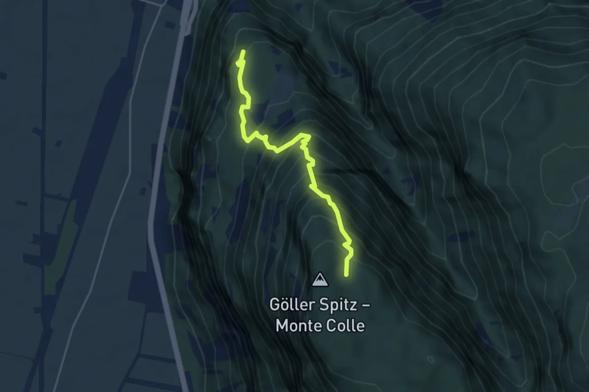
Demanding · Trail
Alter Branzollersteig
4.2 km · ↑ 561 m · 2 h 12 min · 13 km away
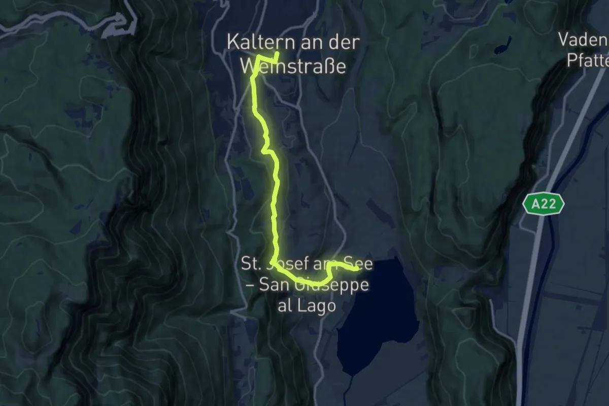
Medium · Trail
Kardatscher Weg - Sentiero Kardatsch
10.9 km · ↑ 381 m · 3 h 25 min · 13 km away
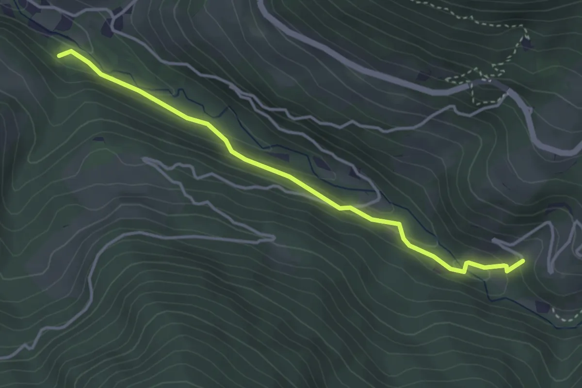
Medium · Trail
Zauberwaldweg
3.7 km · ↑ 152 m · 1 h 12 min · 13 km away
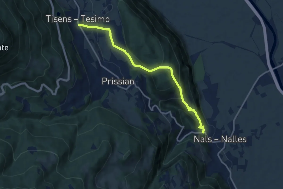
Medium · Trail
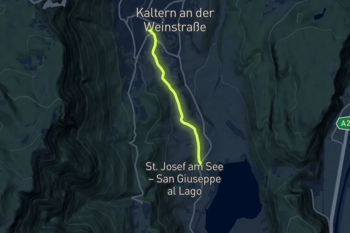
Wanderweg 2
7.6 km · ↑ 393 m · 2 h 39 min · 13 km away
Easy · Trail
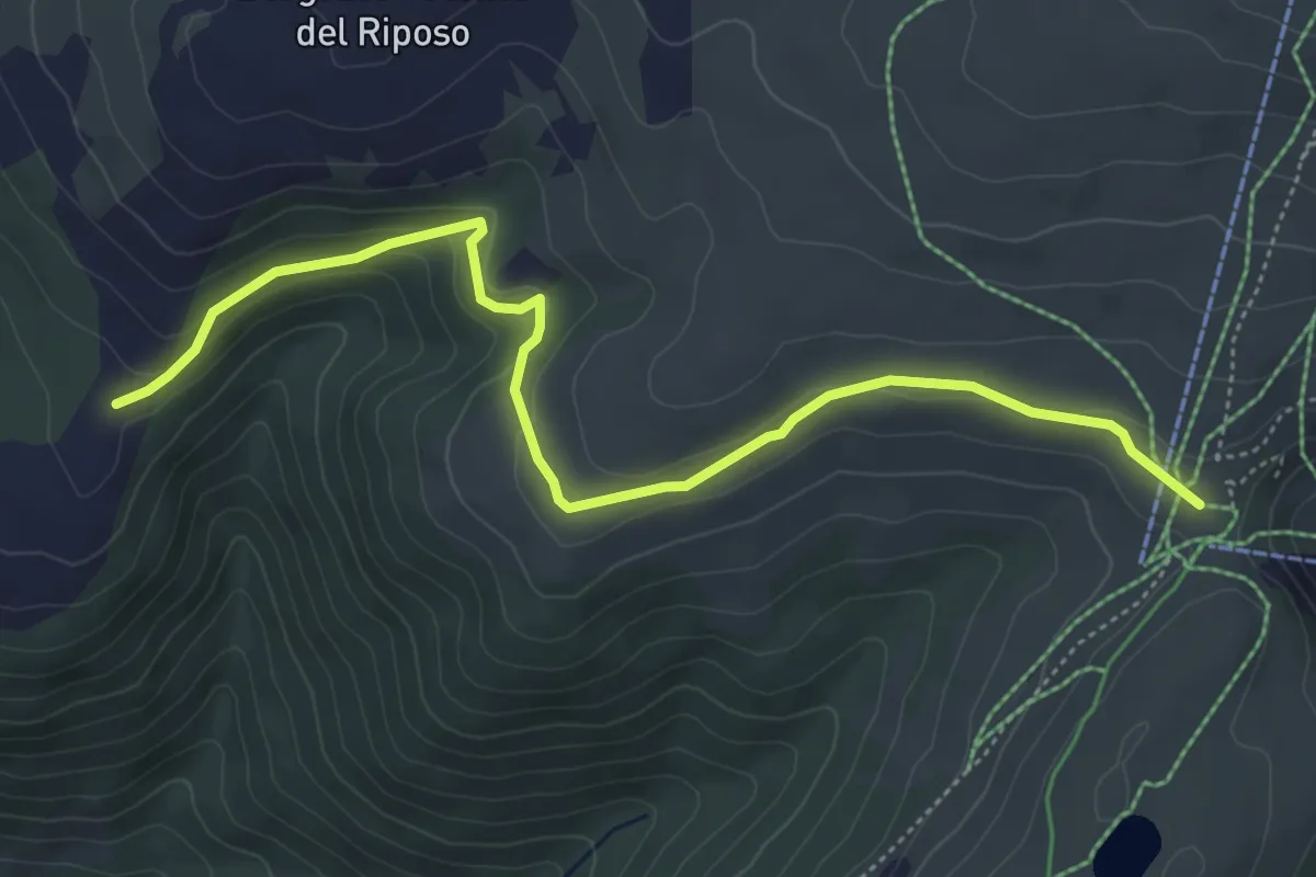
Barleiter Weg
6.6 km · ↑ 236 m · 2 h 4 min · 13 km away
Easy · Trail
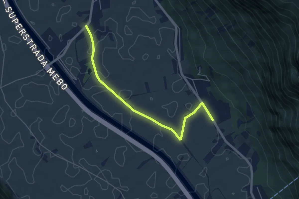
Heusteig
5.6 km · ↑ 206 m · 1 h 46 min · 13 km away
Easy · Trail
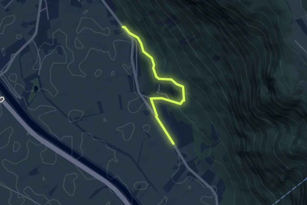
Großackerweg
4.6 km · ↑ 4 m · 1 h 6 min · 13 km away
Easy · Trail
Wolfsgrubensteig
3.6 km · ↑ 229 m · 1 h 21 min · 13 km away
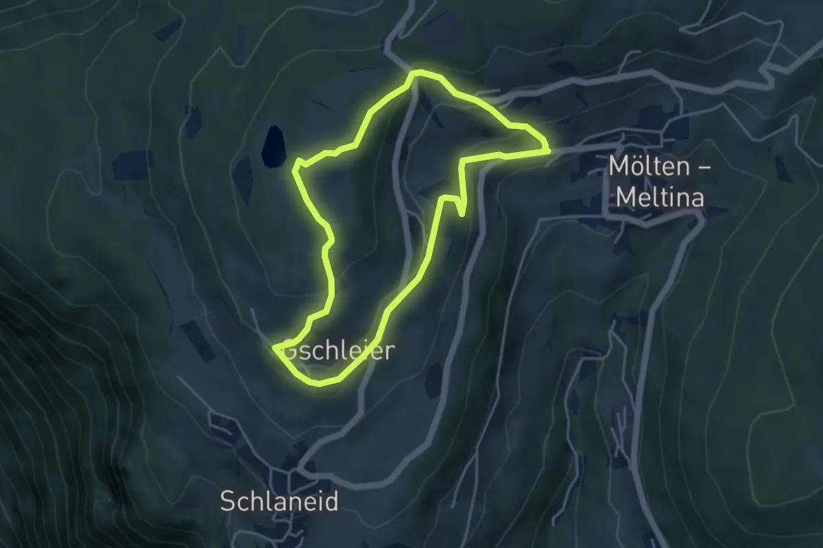
Easy · Trail
Rundweg St. Ulrich
3.8 km · ↑ 178 m · 1 h 21 min · 13 km away
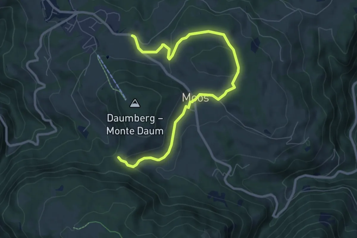
Medium · Trail
St. Helena Weg
8.2 km · ↑ 175 m · 2 h 19 min · 13 km away
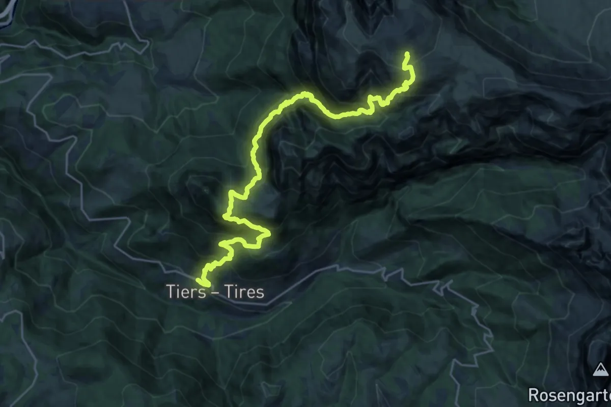
Demanding · Cabin
Via Alpina Yellow B26
11.5 km · ↑ 1903 m · 6 h 17 min · 13 km away
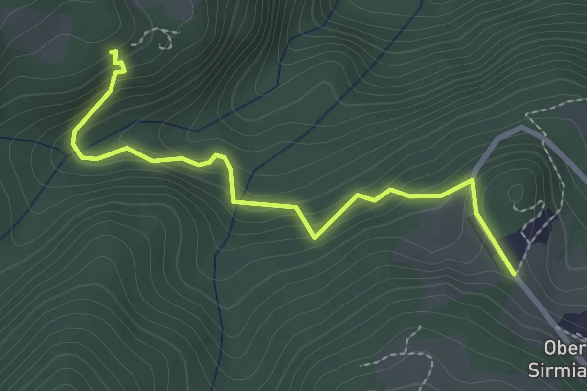
Easy · Trail
Wanderweg 8A
2.4 km · ↑ 184 m · 58 min · 13 km away
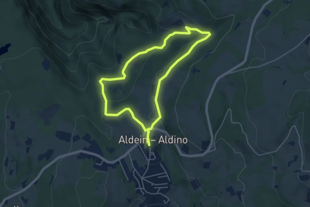
Easy · Trail
Mühlenweg - Sentiero dei Mulini
3.6 km · ↑ 107 m · 1 h 8 min · 13 km away
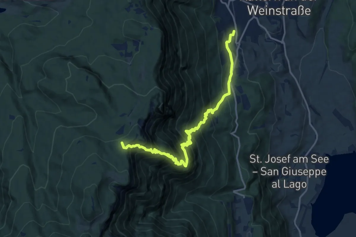
Demanding · Summit
Prazollsteig
12.7 km · ↑ 1205 m · 5 h 37 min · 14 km away
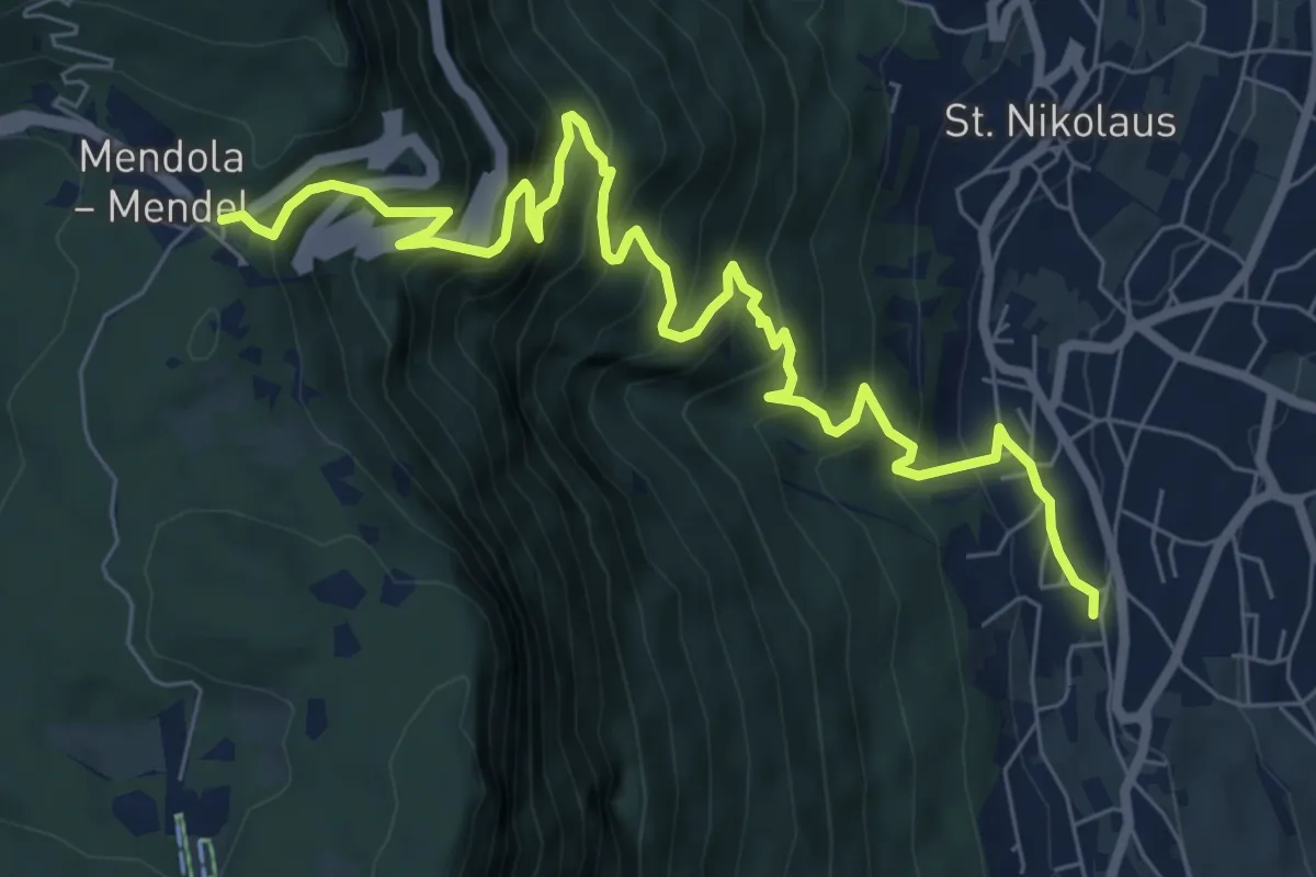
Demanding · Trail
Mendelsteig - Sentiero della Mendola
9.1 km · ↑ 969 m · 4 h 15 min · 14 km away
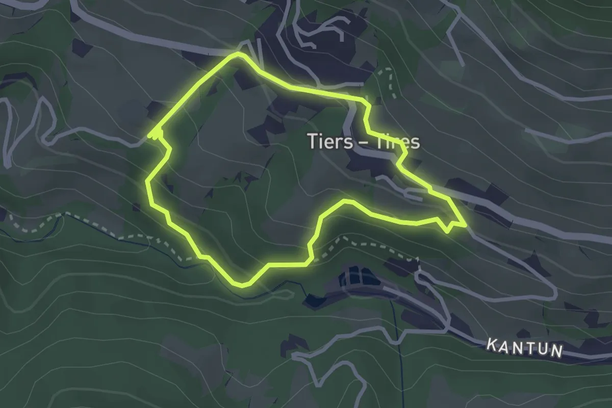
Demanding · Trail
Rundwanderweg (Tiers)
2.5 km · ↑ 151 m · 57 min · 14 km away