Trails near Bolzano - Bozen
117 hikes starting within 15 km, nearest first.
Nearest first, page 3 of 3
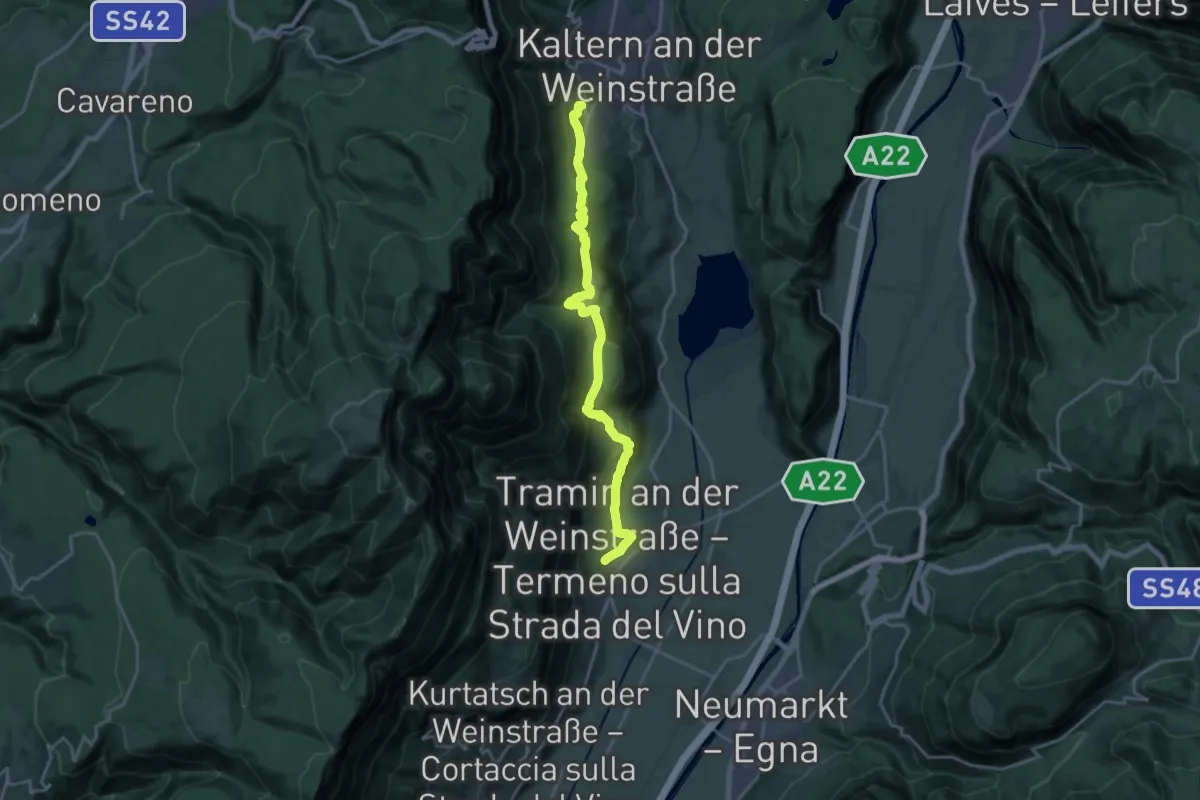
Demanding · Trail
Naturerlebnisweg
19.2 km · ↑ 671 m · 6 h · 14 km away
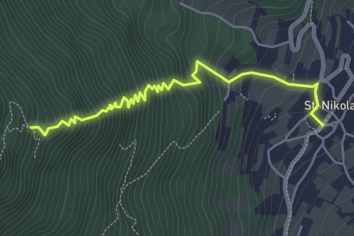
Medium · Trail
Telefonsteig
3.6 km · ↑ 446 m · 1 h 49 min · 14 km away
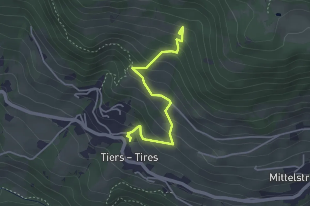
Easy · Trail
Besinnungsweg (Tiers)
3.1 km · ↑ 282 m · 1 h 21 min · 14 km away
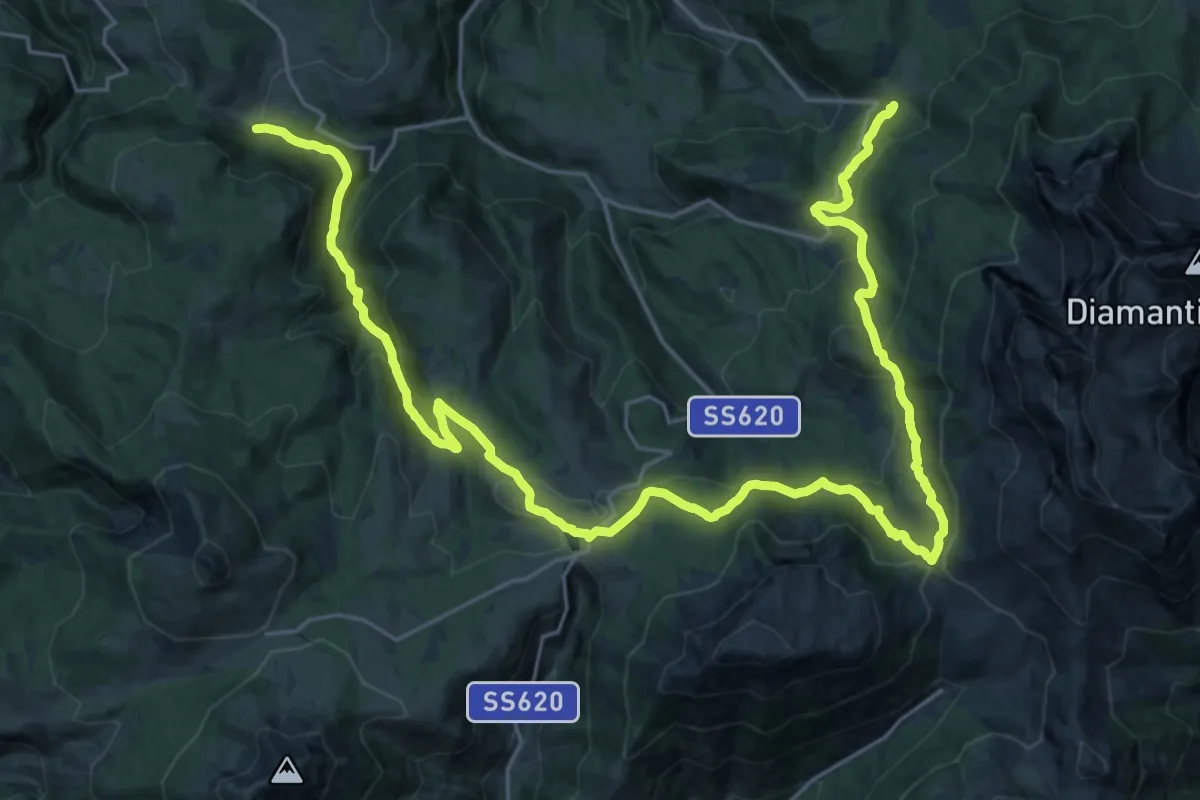
Demanding · Trail
Percorso 8 – Percorso 21A
17.6 km · ↑ 857 m · 6 h 13 min · 14 km away
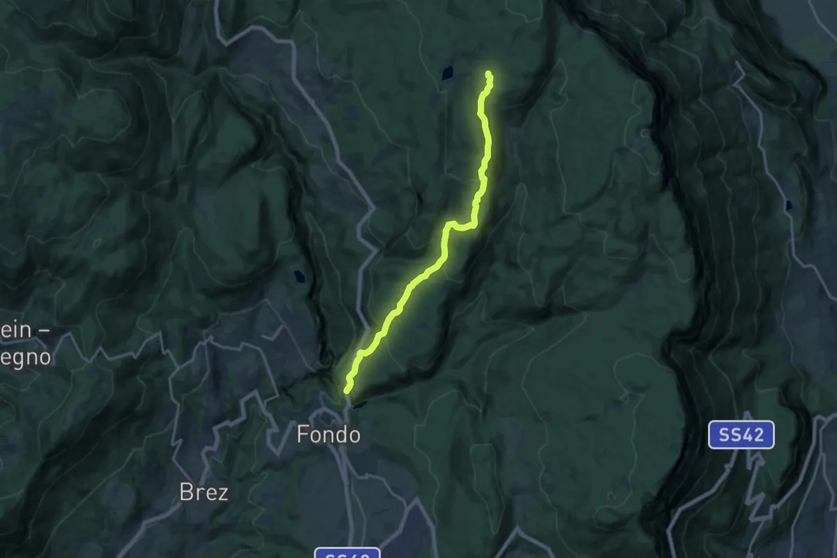
Medium · Trail
Via delle Regole
14.1 km · ↑ 703 m · 4 h 51 min · 14 km away
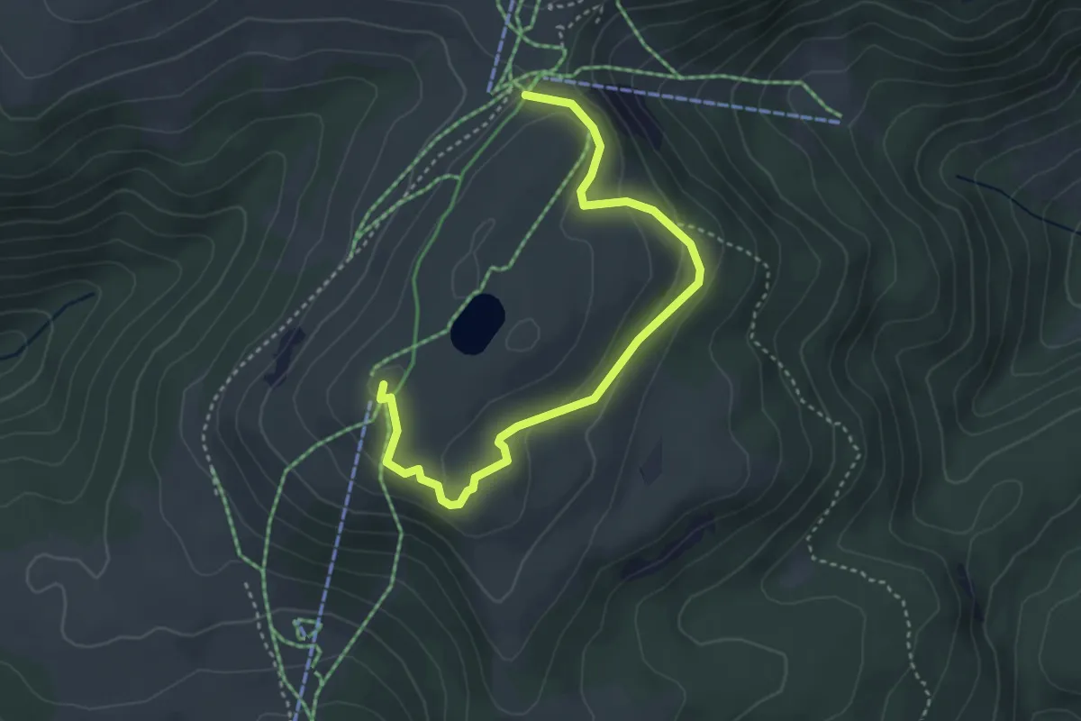
Medium · Summit
Panoramaweg
4.1 km · ↑ 155 m · 1 h 18 min · 14 km away
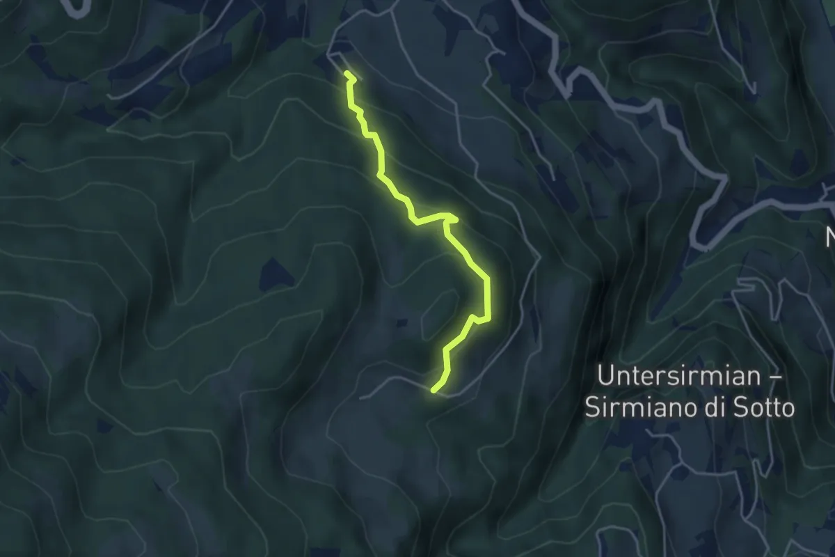
Easy · Trail
Waldsteig - Sentiero nel bosco
3.4 km · ↑ 291 m · 1 h 26 min · 14 km away
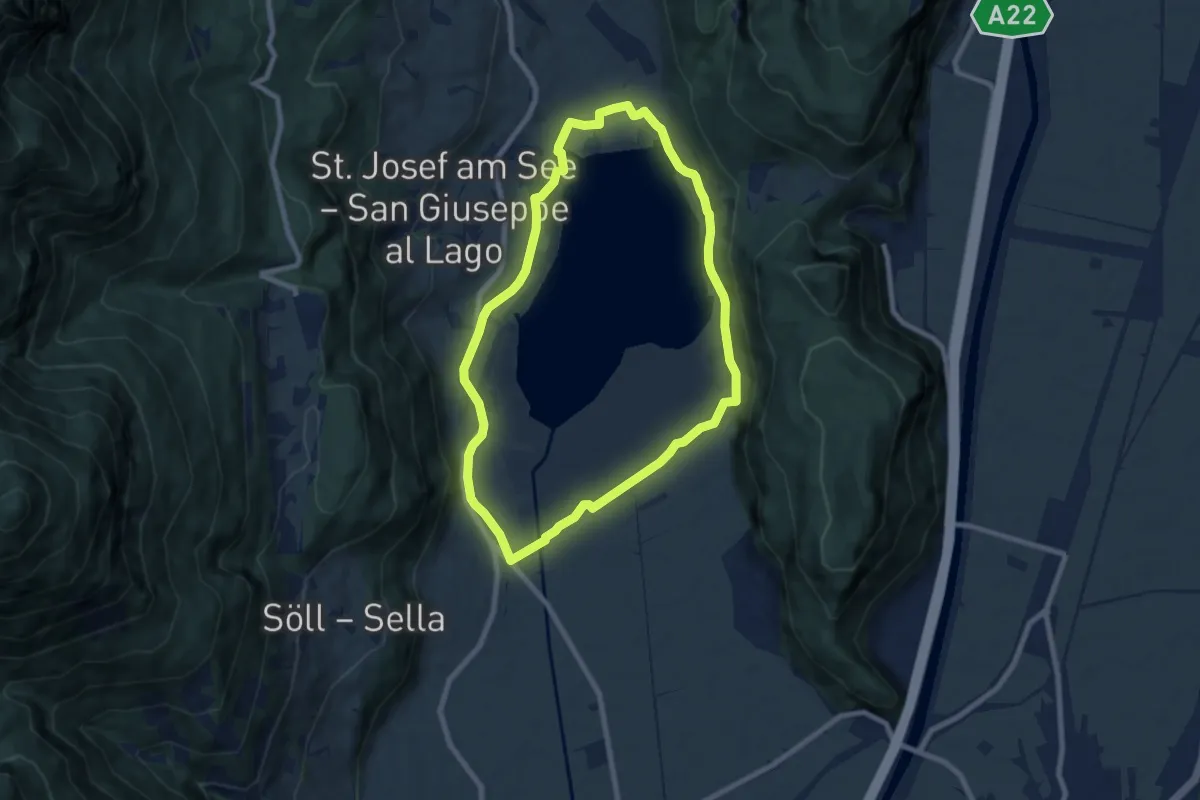
Easy · Trail
Seerundweg
7.4 km · ↑ 61 m · 1 h 59 min · 14 km away
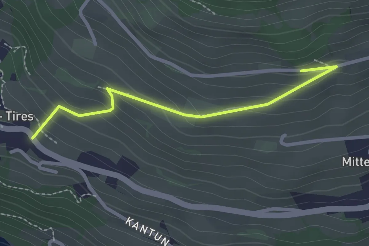
Easy · Trail
Kirchsteig (Tiers)
2.1 km · ↑ 141 m · 48 min · 14 km away
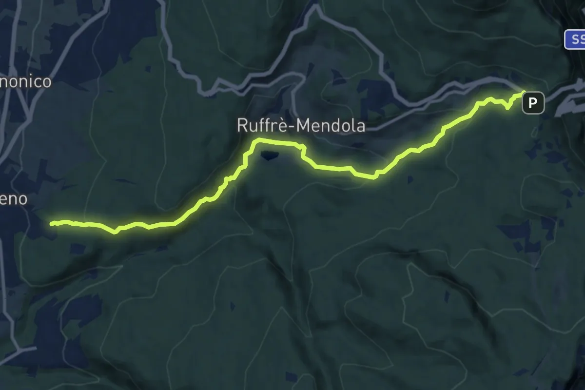
Medium · Trail
Cavareno - sentiero "Dria al Fos" – Passo Mendola (bivio 521 CAI - 500 - 515)
11.9 km · ↑ 498 m · 3 h 53 min · 14 km away
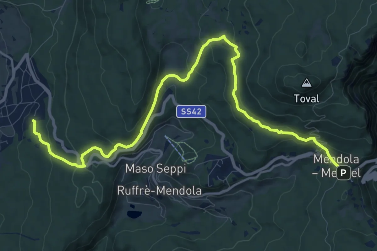
Medium · Trail
Ronzone - piscina, campo sportivo – Passo Mendola (bivio 521 CAI - 500 - 527)
13.2 km · ↑ 463 m · 4 h 8 min · 14 km away
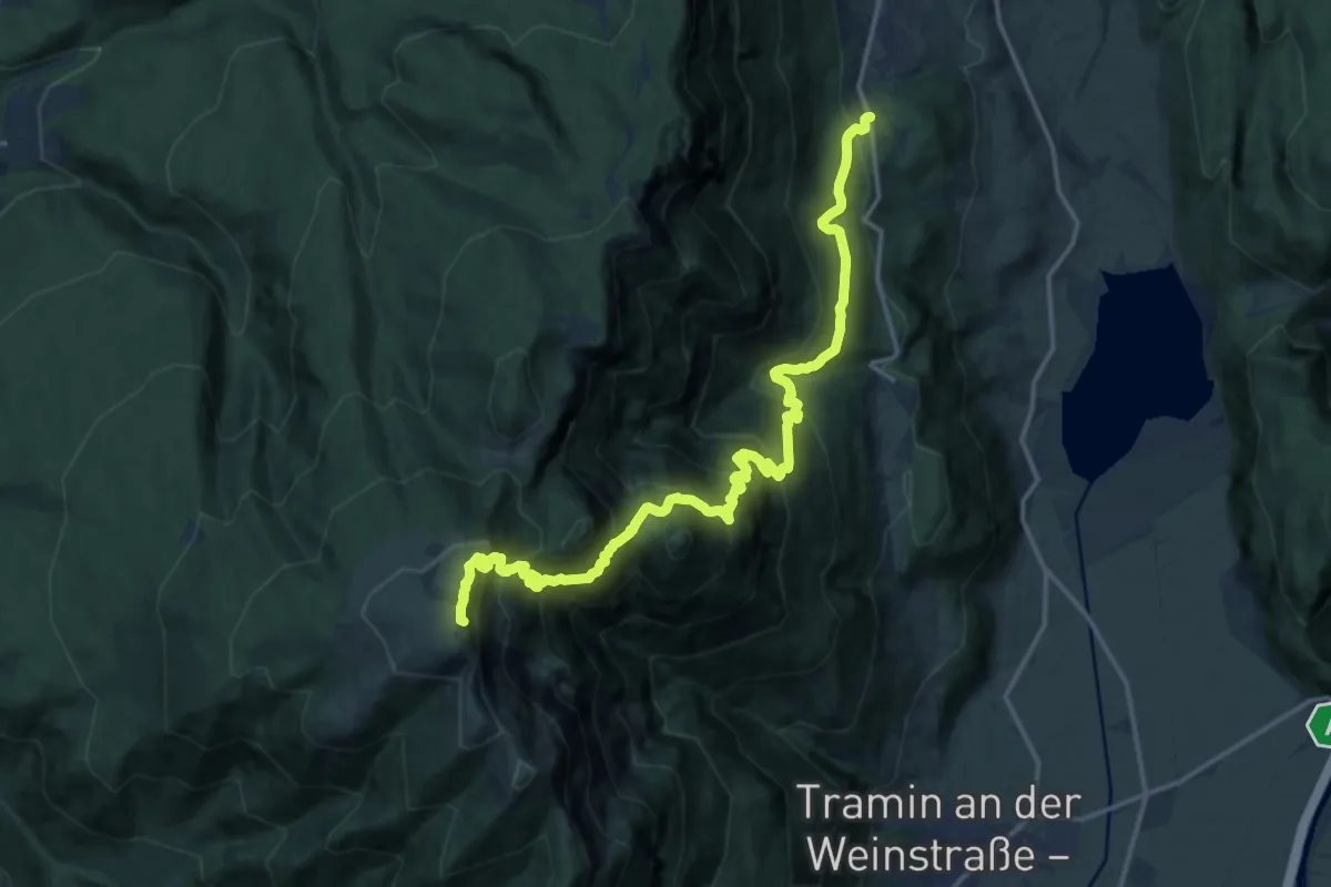
Expert · Summit
Göllersteig
18.3 km · ↑ 1885 m · 8 h 24 min · 15 km away
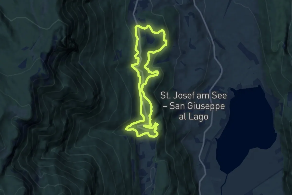
Medium · Trail
Sentiero della Pace
7.6 km · ↑ 301 m · 2 h 33 min · 15 km away
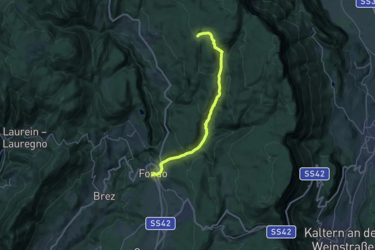
Demanding · Trail
Via Vigilius - Tappa 3
18.2 km · ↑ 818 m · 6 h 3 min · 15 km away
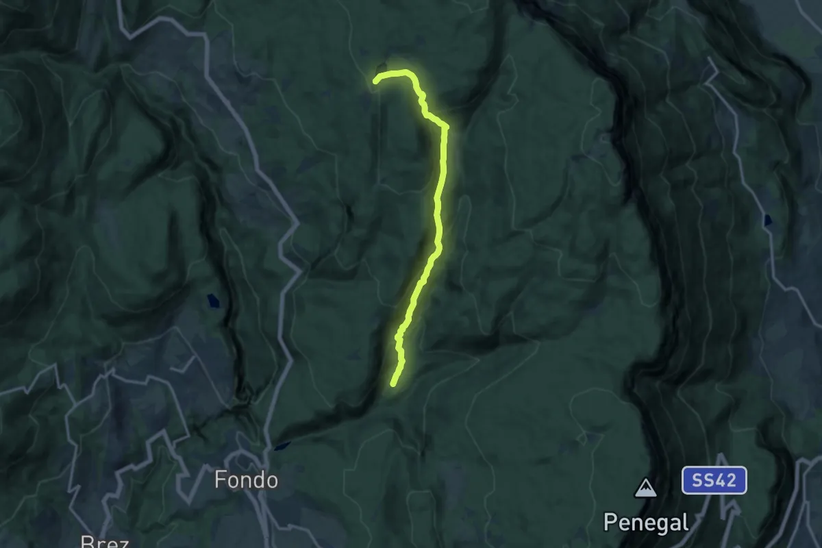
Medium · Trail
El Ram (bivio 513) – Lago di Tret o di Santa Maria (bivio 512)
12.0 km · ↑ 648 m · 4 h 14 min · 15 km away
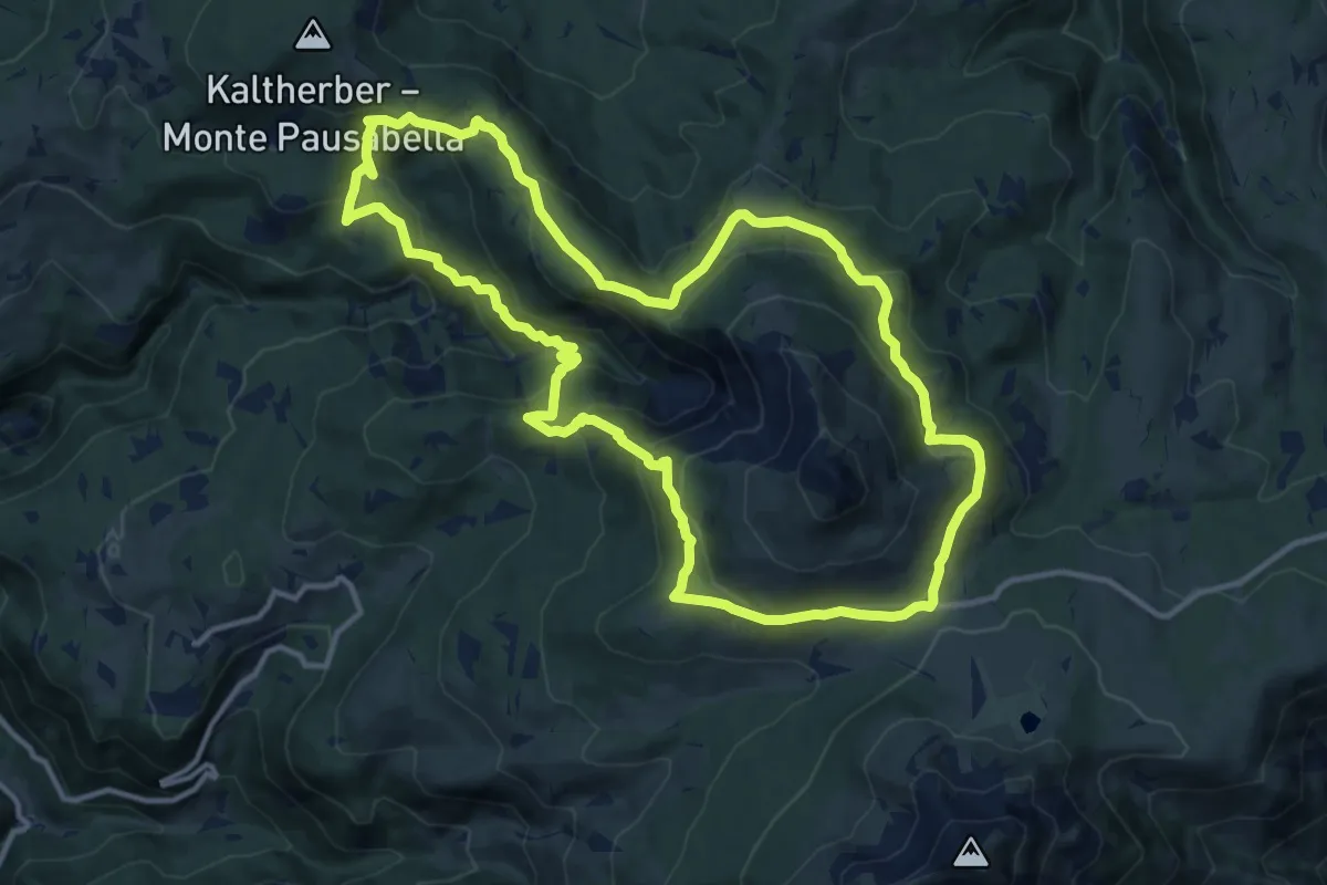
Medium · Trail
Bletterbachrunde
12.7 km · ↑ 623 m · 4 h 31 min · 15 km away
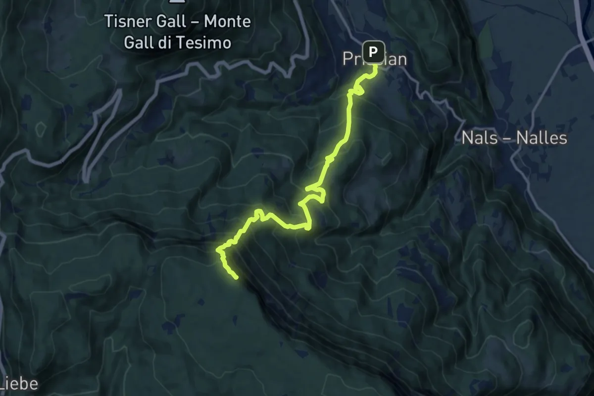
Demanding · Summit
Wanderweg 12
12.5 km · ↑ 1185 m · 5 h 31 min · 15 km away
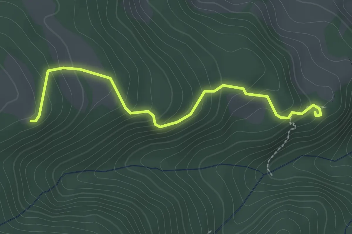
Easy · Trail
Wanderweg 19
2.5 km · ↑ 194 m · 1 h · 15 km away
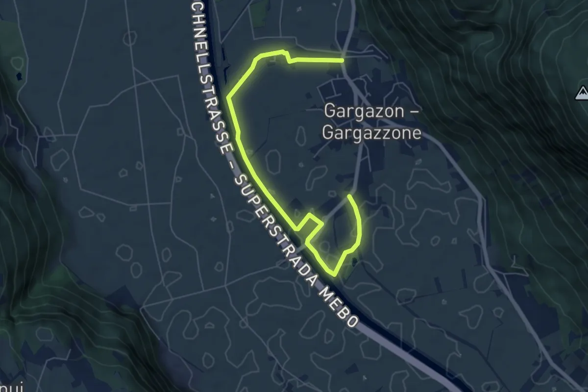
Easy · Trail
Binnendammweg
6.9 km · ↑ 17 m · 1 h 40 min · 15 km away
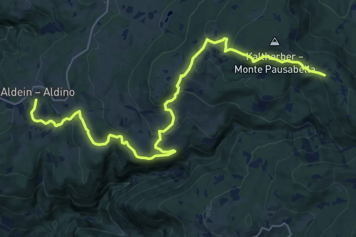
Medium · Trail
Schwarz-Weiss-Weg/Cammino/Trail weiß a
17.8 km · ↑ 736 m · 5 h 48 min · 15 km away
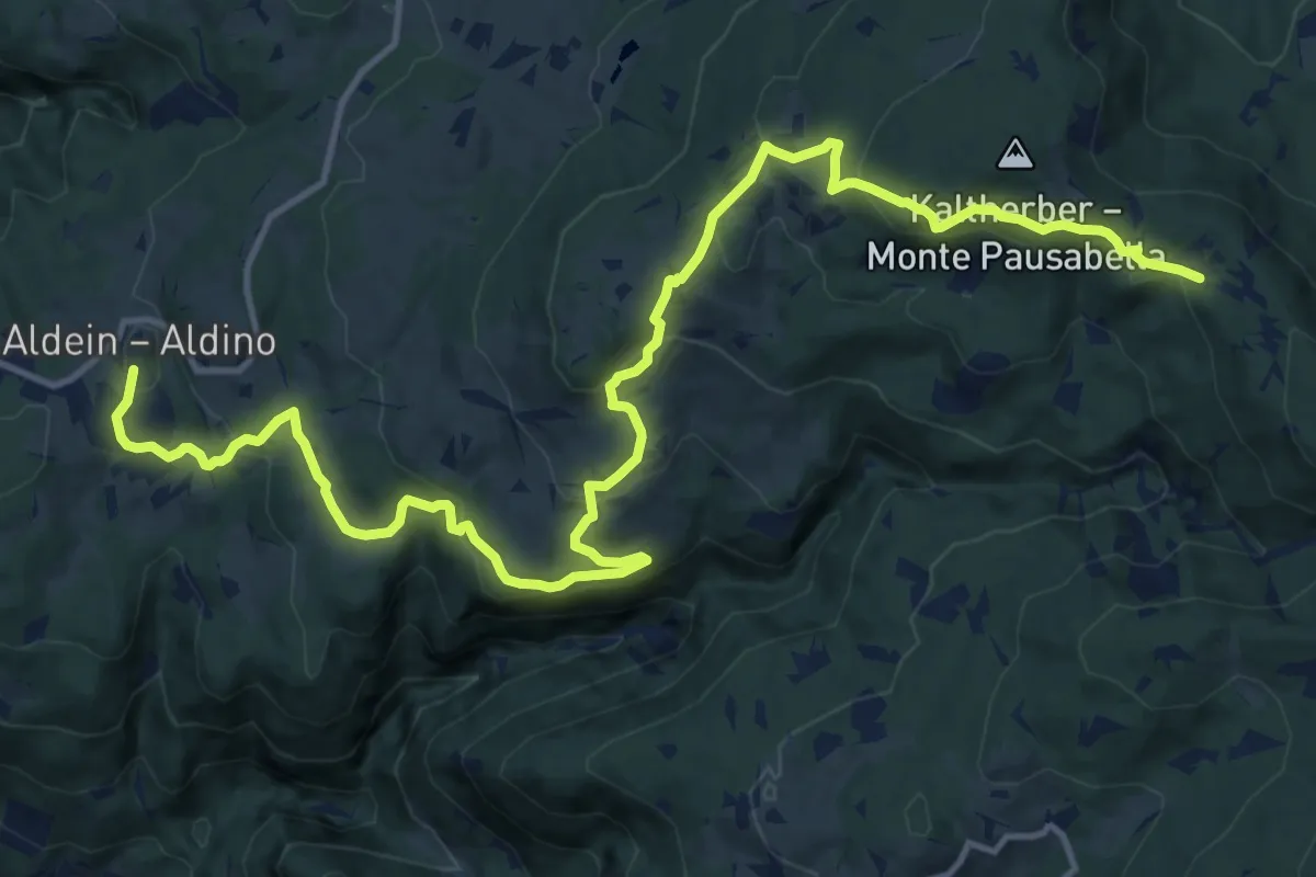
Medium · Trail
Schwarz-Weiss-Weg/Cammino/Trail schwarz a
17.8 km · ↑ 736 m · 5 h 48 min · 15 km away