Trails near Borgo San Dalmazzo
149 hikes starting within 15 km, nearest first.
Nearest first, page 2 of 4
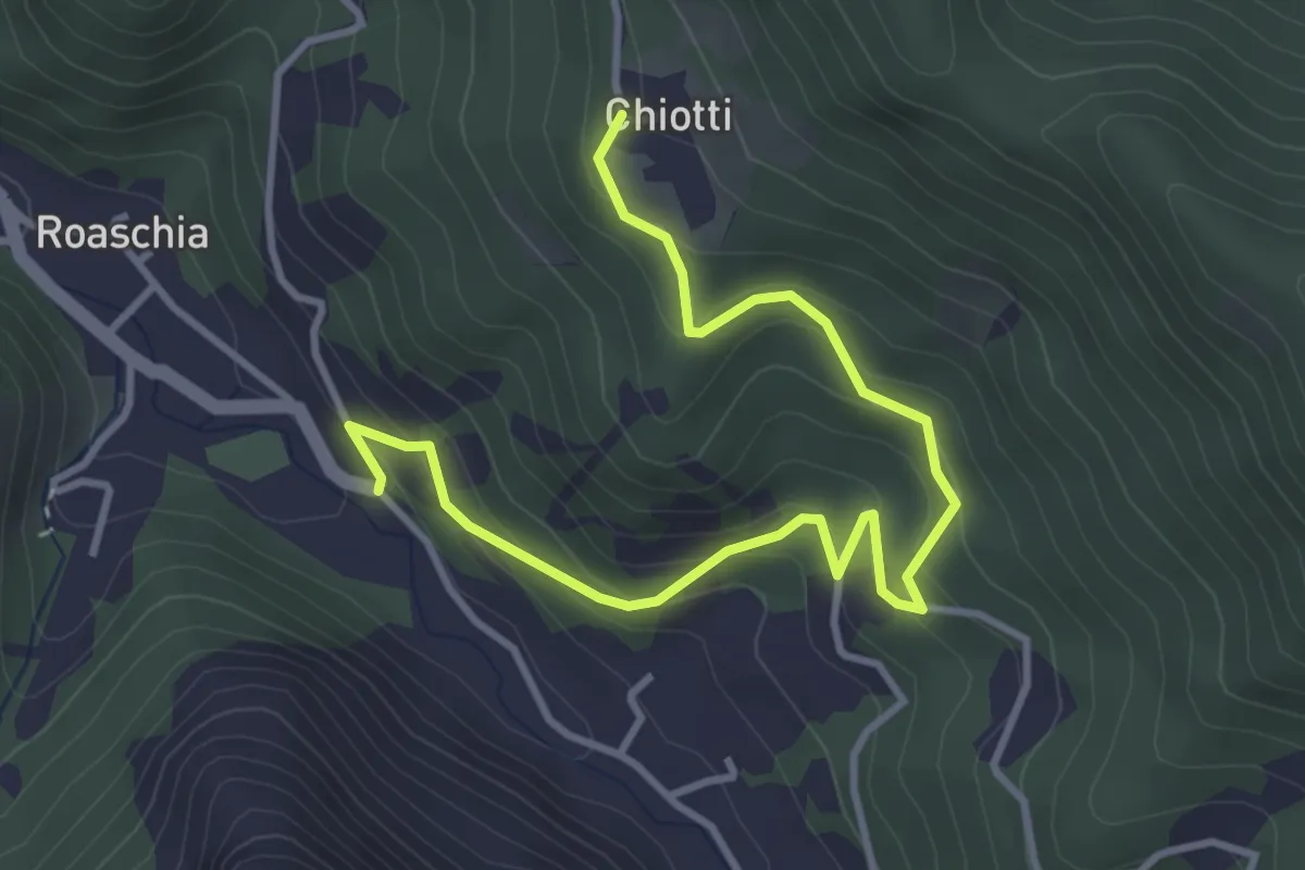
Easy · Trail
Roaschia, bivio CNAN35A, CNAN45 – Roaschia, Tetto Chiotti, bivio CNAL35, CNAL35A
4.5 km · ↑ 297 m · 1 h 42 min · 7 km away
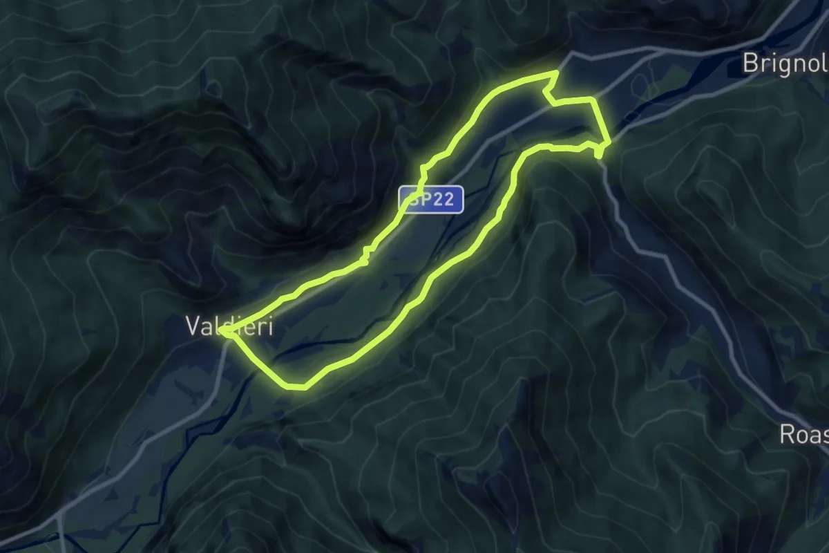
Medium · Trail
Valdieri, frazione Andonno, bivio CNAN02, CNAN37 – Valdieri, frazione Andonno, bivio CNAN02, CNAN37
8.7 km · ↑ 206 m · 2 h 37 min · 7 km away
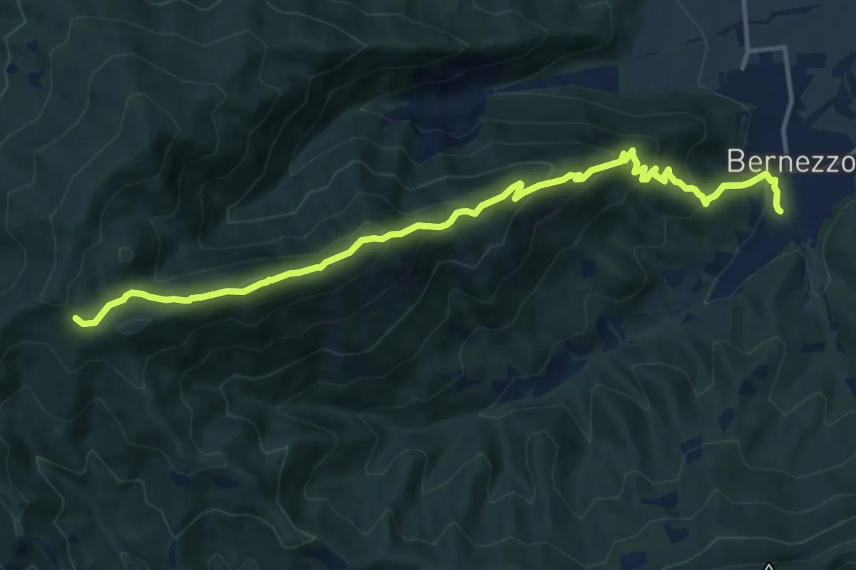
Demanding · Trail
Bernezzo, San Giacomo, bivio R41-R42 – Le Funze, bivio R25-R41
12.8 km · ↑ 863 m · 4 h 54 min · 7 km away
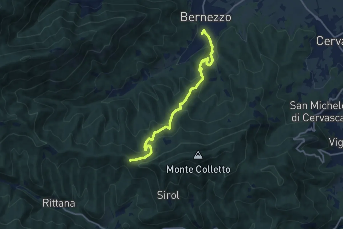
Medium · Trail
Bernezzo, centro paese, bivio CNAR41-CNAR42 – Pertuso del Colet, bivio CNAR01A-CNAR25-CNAR42-CNAR44
9.3 km · ↑ 447 m · 3 h 10 min · 7 km away
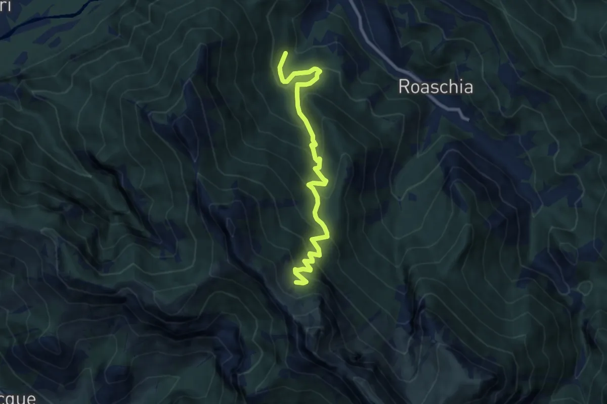
Medium · Trail
Roaschia, presso Tetti Barlot – Roaschia, passo del Van, bivio CNAN40A, CNAN44
8.5 km · ↑ 748 m · 3 h 37 min · 7 km away
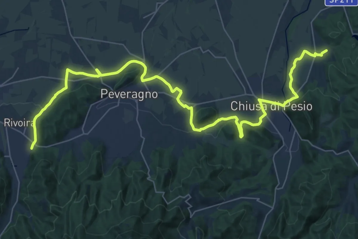
Demanding · Trail
Chiusa Pesio, bivio CNAH25, CNAH28, CNAH29 – Boves, presso Tetti Pol, bivio CNAH27, CNAH28, CNAH42
18.2 km · ↑ 187 m · 5 h · 7 km away
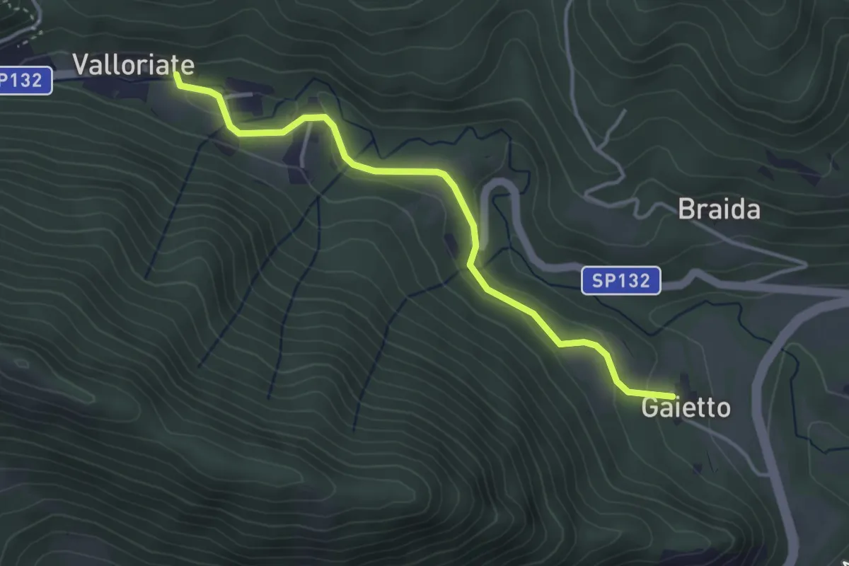
Easy · Trail
Moiola, borgata Gaietto – Valloriate, borgata Torino, bivio CNAP01, CNAP81
3.8 km · ↑ 78 m · 1 h 4 min · 8 km away
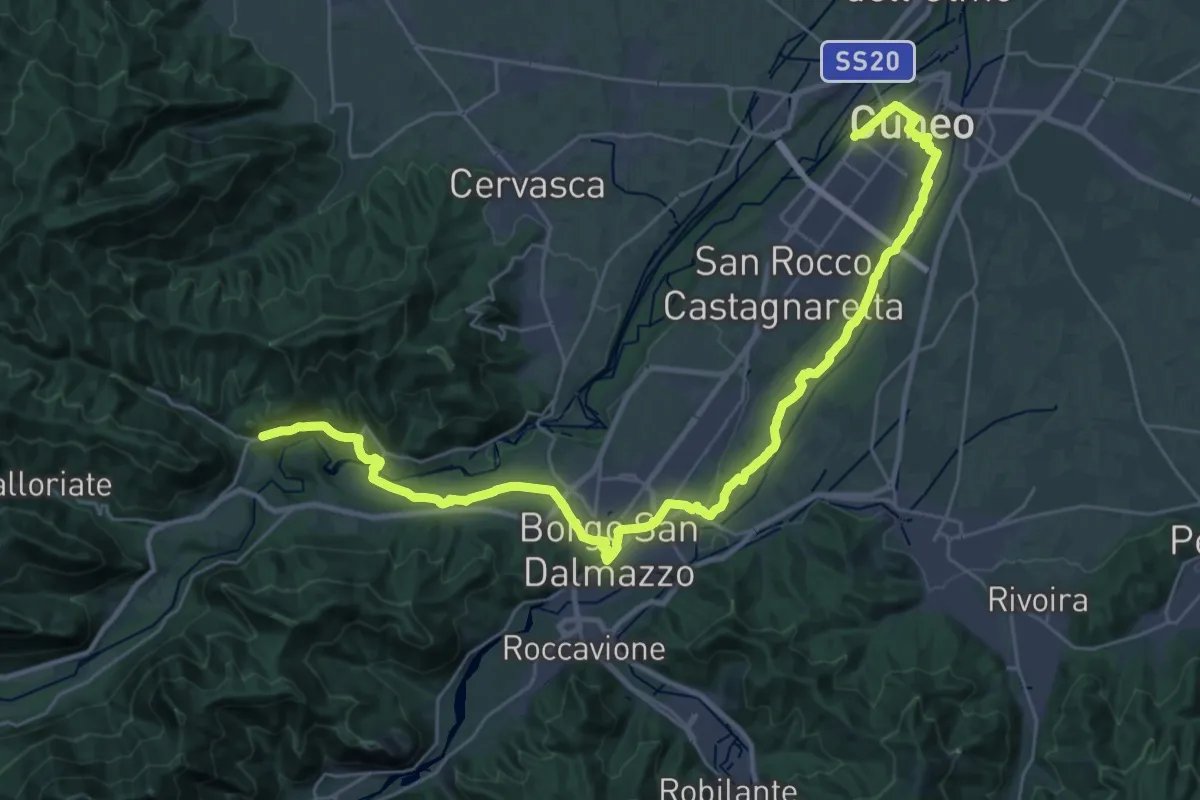
Demanding · Pilgrim path
La Via di Sant'Anna - Tappa 1
19.4 km · ↑ 324 m · 5 h 28 min · 8 km away
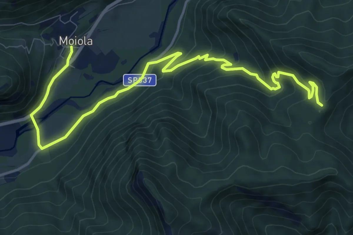
Medium · Trail
Moiola, centro paese, bivio CNAP53-CNAP74 – Borgo San Dalmazzo, borgo del Firet, bivio CNAP71-CNAP74
12.6 km · ↑ 558 m · 4 h 11 min · 8 km away
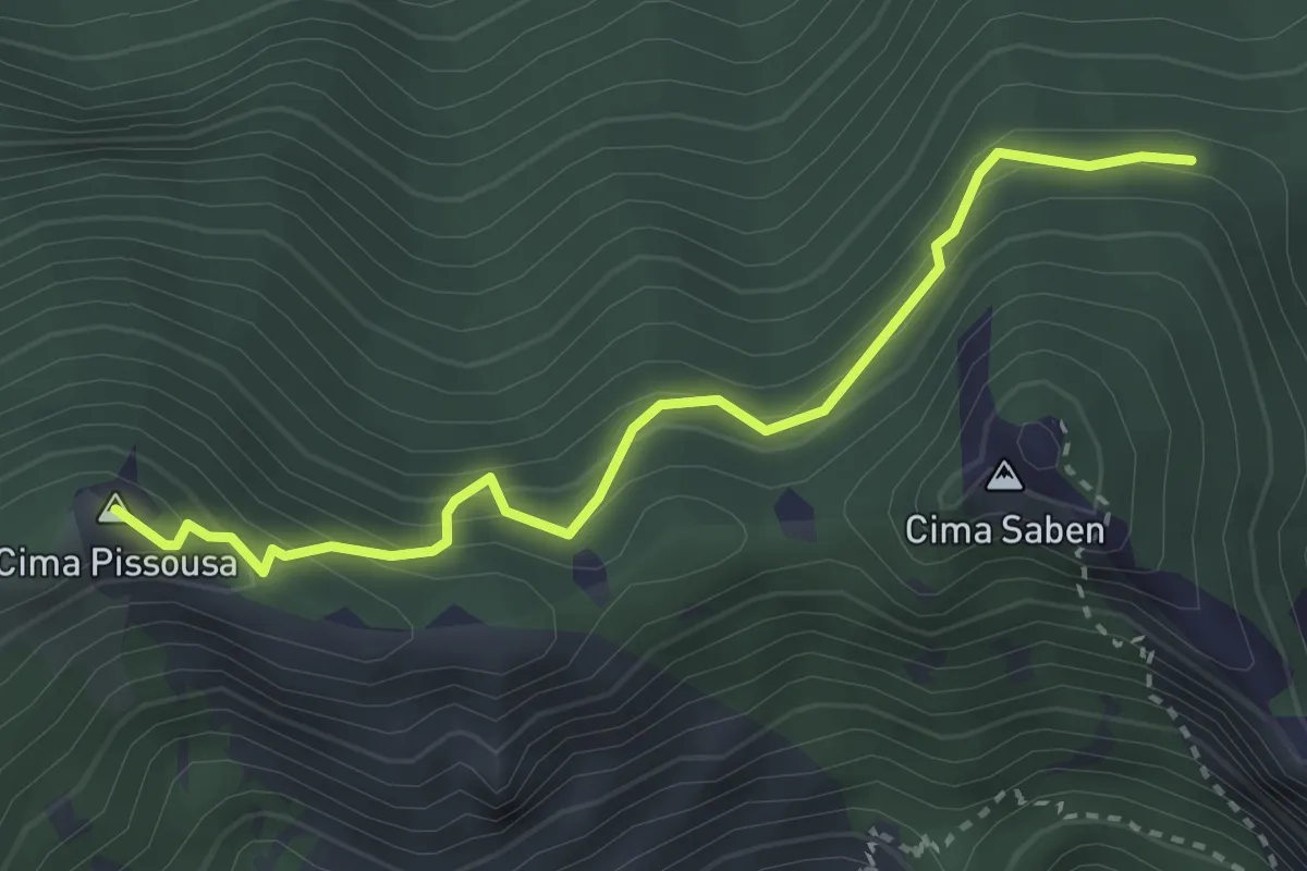
Easy · Summit
Moiola, Fontana dei Fol, bivio CNAP71-CNAP71B – Moiola, Cima Pissousa, bivio CNAP68A-CNAP71B
3.3 km · ↑ 287 m · 1 h 24 min · 8 km away
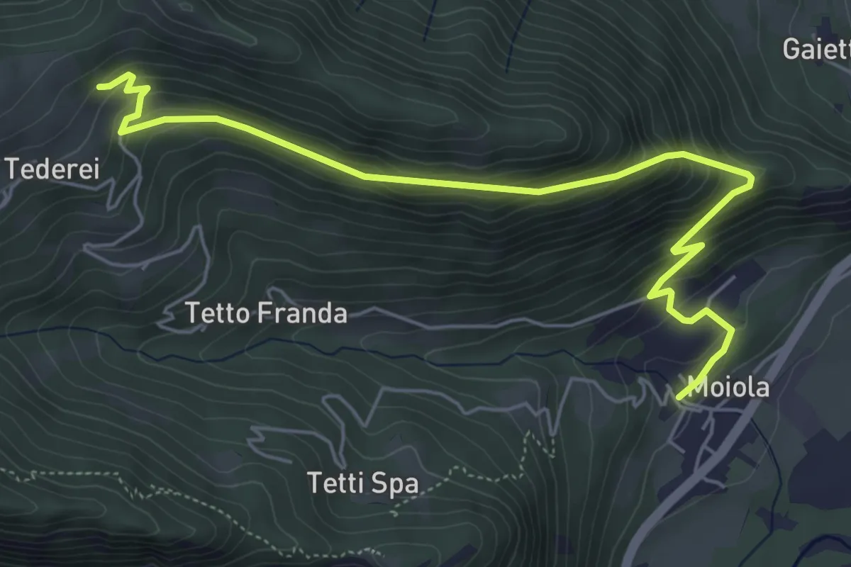
Medium · Trail
Moiola, località San Anna, bivio CNAP53-CNAP53B – Moiola, Case Garitto, bivio CNAP75A-CNAP53B
6.7 km · ↑ 439 m · 2 h 33 min · 8 km away
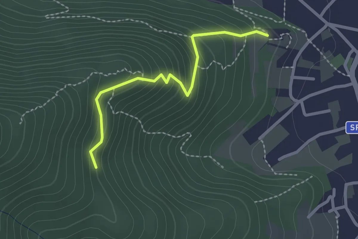
Easy · Trail
Bernezzo – Forte Michel, bivio R41-R41A
2.1 km · ↑ 179 m · 52 min · 8 km away
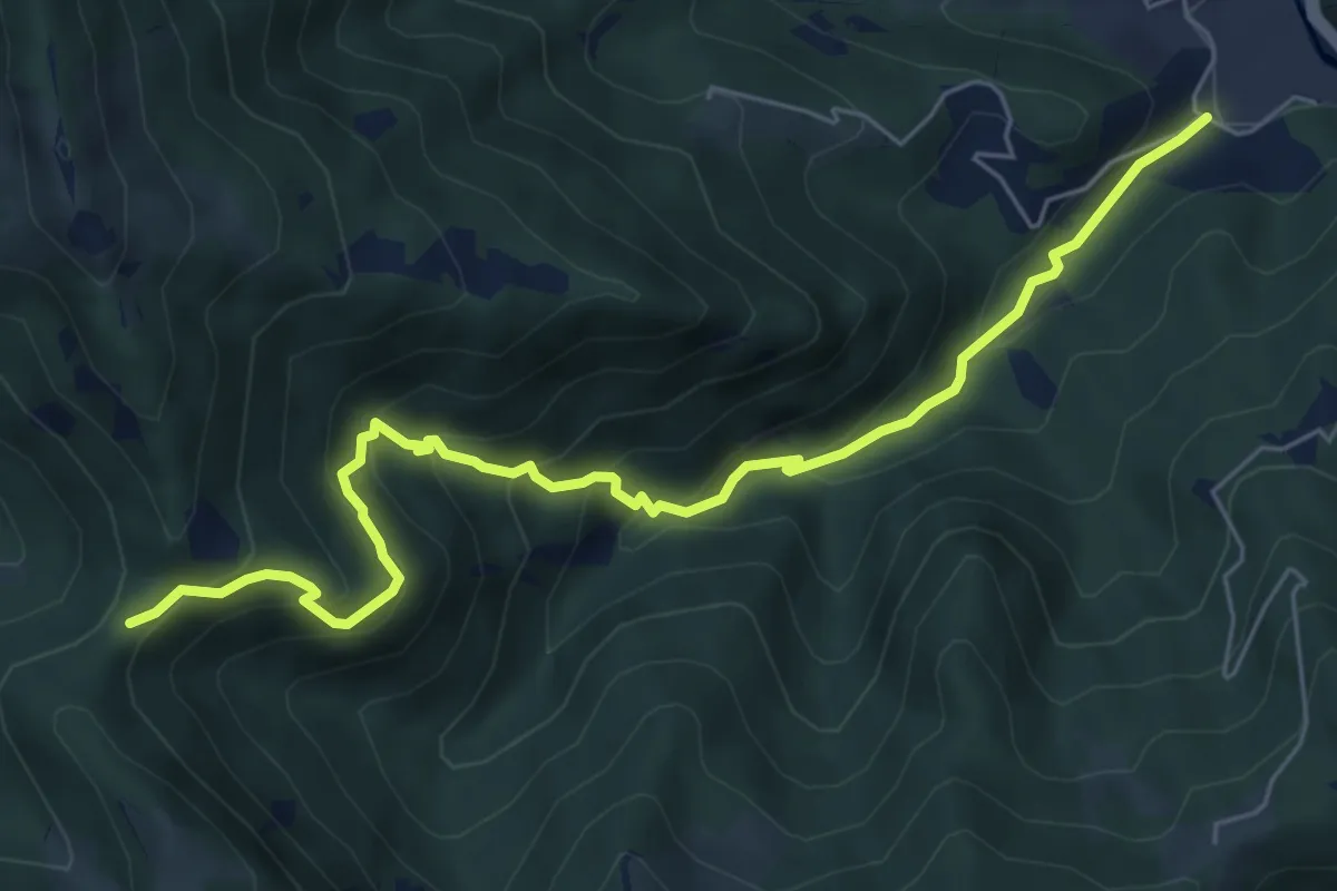
Medium · Trail
Robilante, Madonna della Neve, bivio CNAL34-CNAL44B – Vernante, Colle delle Goderie, bivio CNAL44-CNAL44B
7.1 km · ↑ 515 m · 2 h 47 min · 8 km away
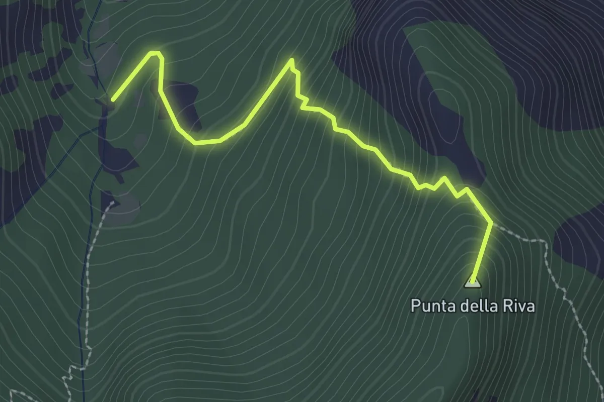
Medium · Summit
Roaschia, bivio CNAN45-CNAN29-CNAN44A – Roaschia, Tetti Viretta Sottano, bivio CNAN45-CNAN29
2.6 km · ↑ 328 m · 1 h 19 min · 8 km away
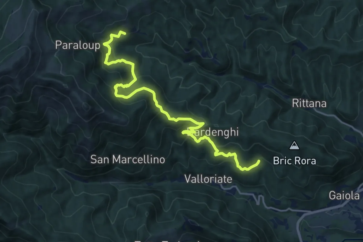
Demanding · Trail
Valloriate, località Miraglia, bivio CNAP01, CNAP77 – Rittana, borgata Gorre Soprana
14.9 km · ↑ 1018 m · 5 h 43 min · 8 km away
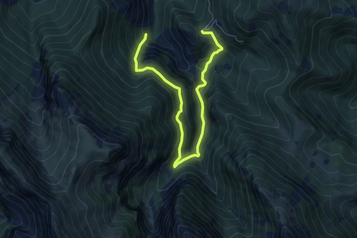
Medium · Trail
Roaschia, bivio CNAN45-CNAN45A presso Tetto Peire – Roaschia, bivio CNAN45-CNAN45A
7.9 km · ↑ 772 m · 3 h 32 min · 8 km away
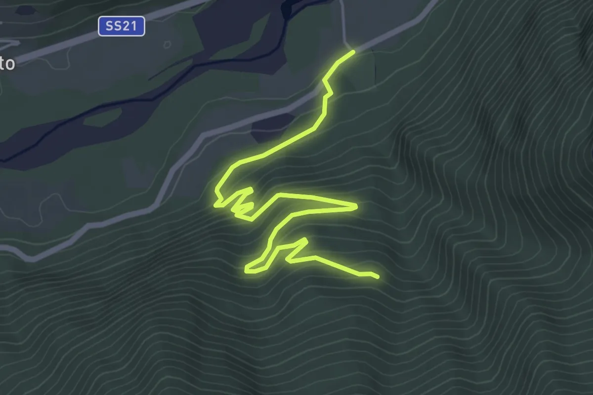
Medium · Trail
Moiola, presso Tetti Maigre, bivio CNAP74, CNAP74A – Moiola, Tetti dell'Amor
6.3 km · ↑ 326 m · 2 h 12 min · 8 km away
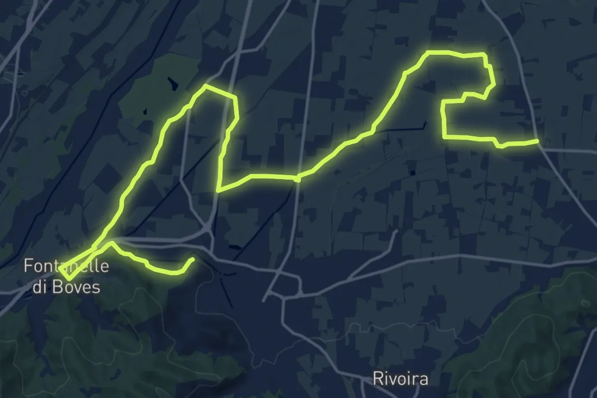
Demanding · Trail
Peveragno, San Lorenzo, bivio CNAH29, CNAL37 – Boves, San Bernardo, bivio CNAL32C, CNAL37
26.6 km · ↑ 114 m · 6 h 32 min · 9 km away
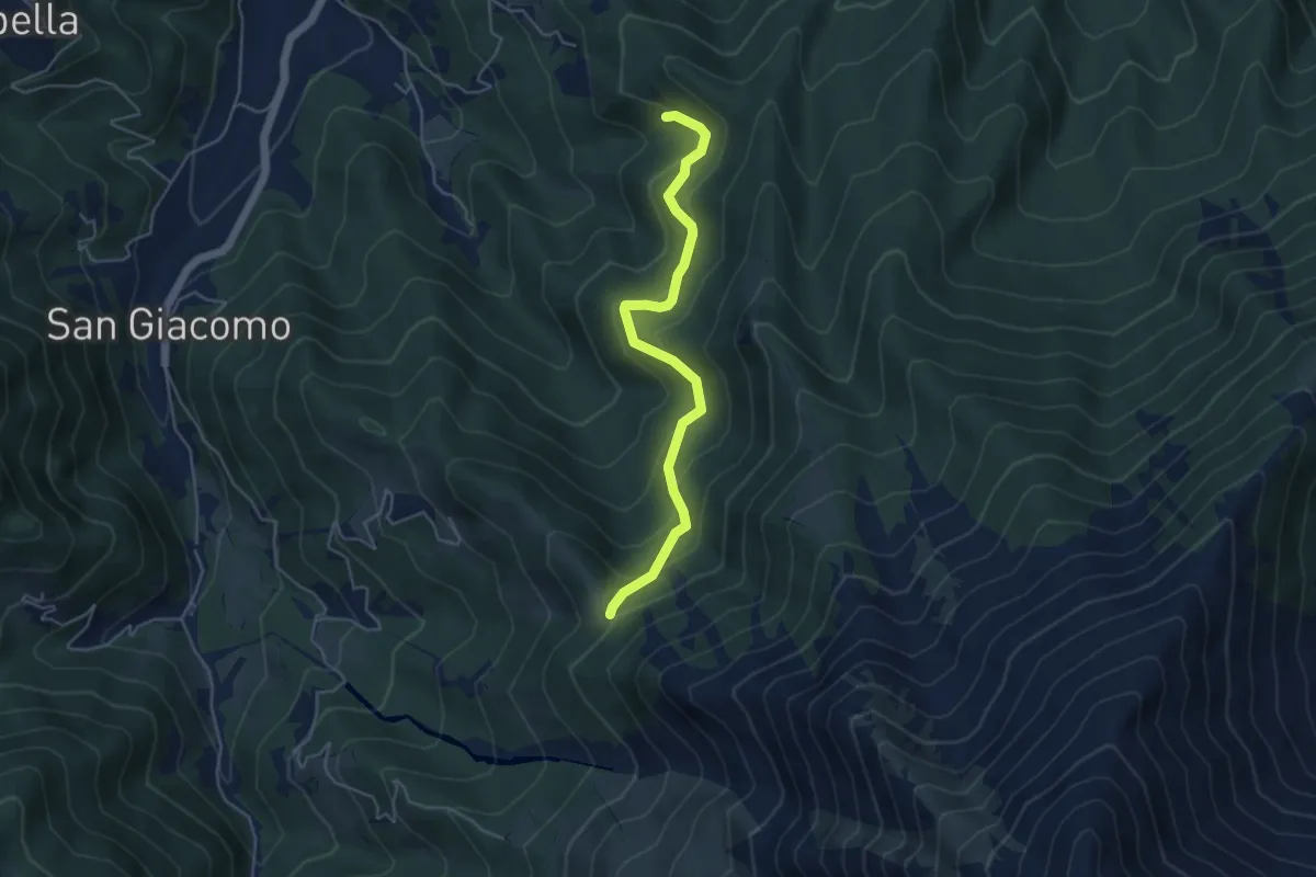
Medium · Trail
Boves, Colle della Bercia, bivio CNAL18, CNAL19, CNAL29 – Boves, valle Sambuco, tetti Battaia
4.8 km · ↑ 353 m · 1 h 54 min · 9 km away
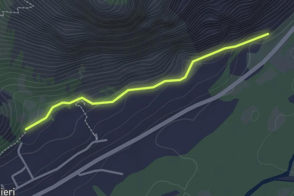
Easy · Trail
Valdieri, San Giovanni, bivio CNAN36A, CNAN37 – Valdieri, Santa Maria Maddalena, bivio CNAN360000, CNAN36000A
2.4 km · ↑ 94 m · 46 min · 9 km away
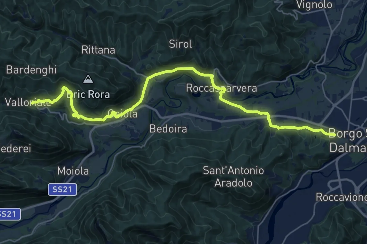
Demanding · Trail
Chemin pastoral de Valloriate à Borgo San Dalmazzo
23.3 km · ↑ 638 m · 6 h 53 min · 9 km away
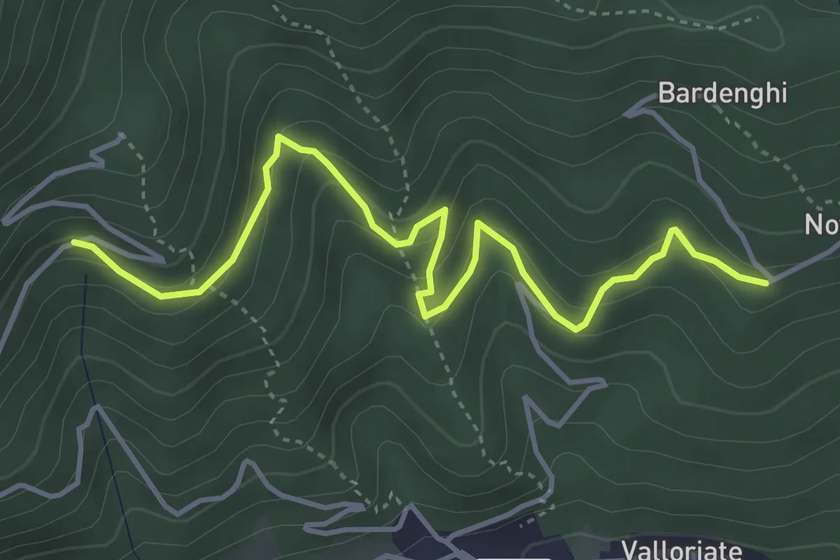
Medium · Trail
Valloriate, località San Bernardo, bivio CNAP77, CNAP77A – Valloriate, presso frazione Motta Soprana, bivio CNAP04, CNAP77A
4.7 km · ↑ 331 m · 1 h 49 min · 9 km away
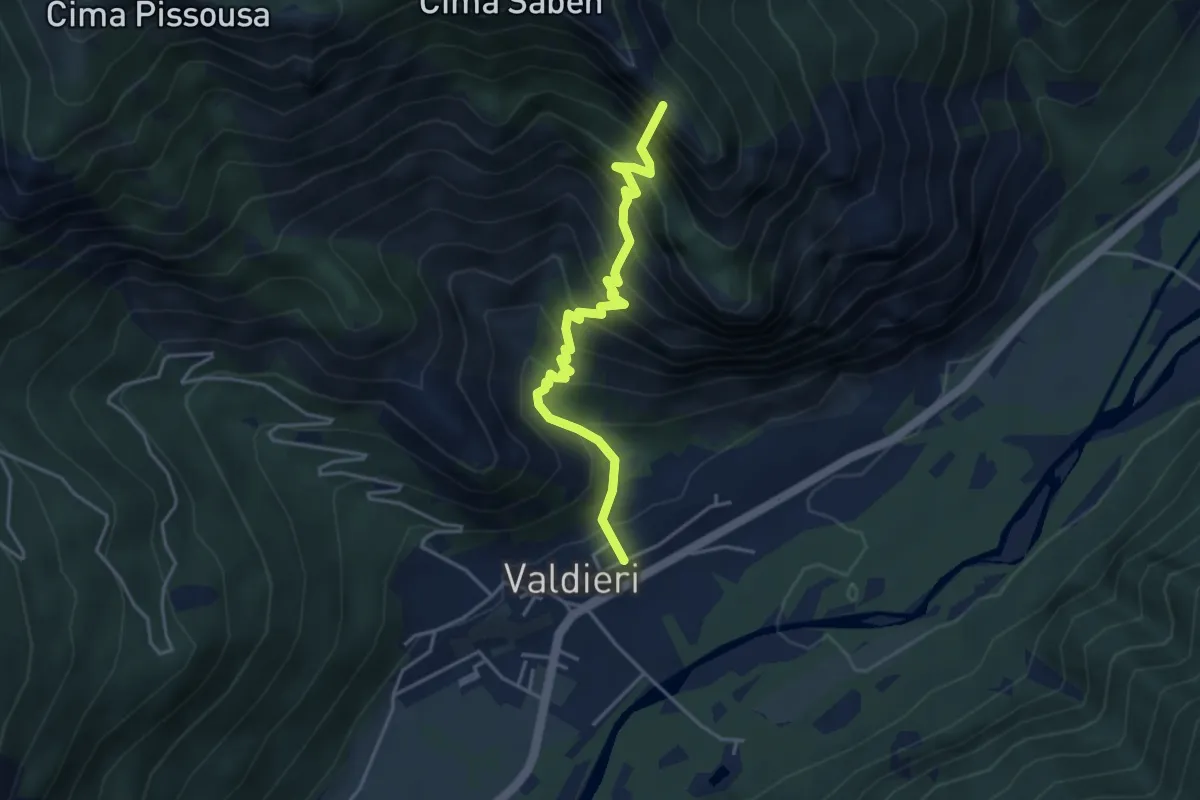
Medium · Summit
Valdieri, bivio CNAN36, CNAN37 – Valdieri, bivio presso rio Scumbes
4.2 km · ↑ 679 m · 2 h 28 min · 9 km away
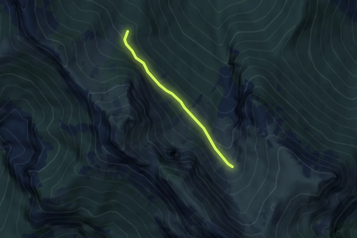
Easy · Trail
Roaschia, bivio CNAN44, CNAN46 – Roaschia, valle della Fredda, bivio CNAN29, CNAN29A, CNAN46
3.1 km · ↑ 158 m · 1 h 4 min · 9 km away
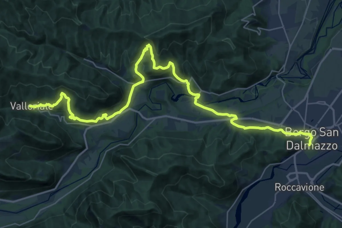
Medium · Trail
Borgo San Dalmazzo, stazione FS, bivio CNAP01, CNAP53 – Valloriate, bivio CNAP01, CNAP02
15.5 km · ↑ 484 m · 5 h · 9 km away
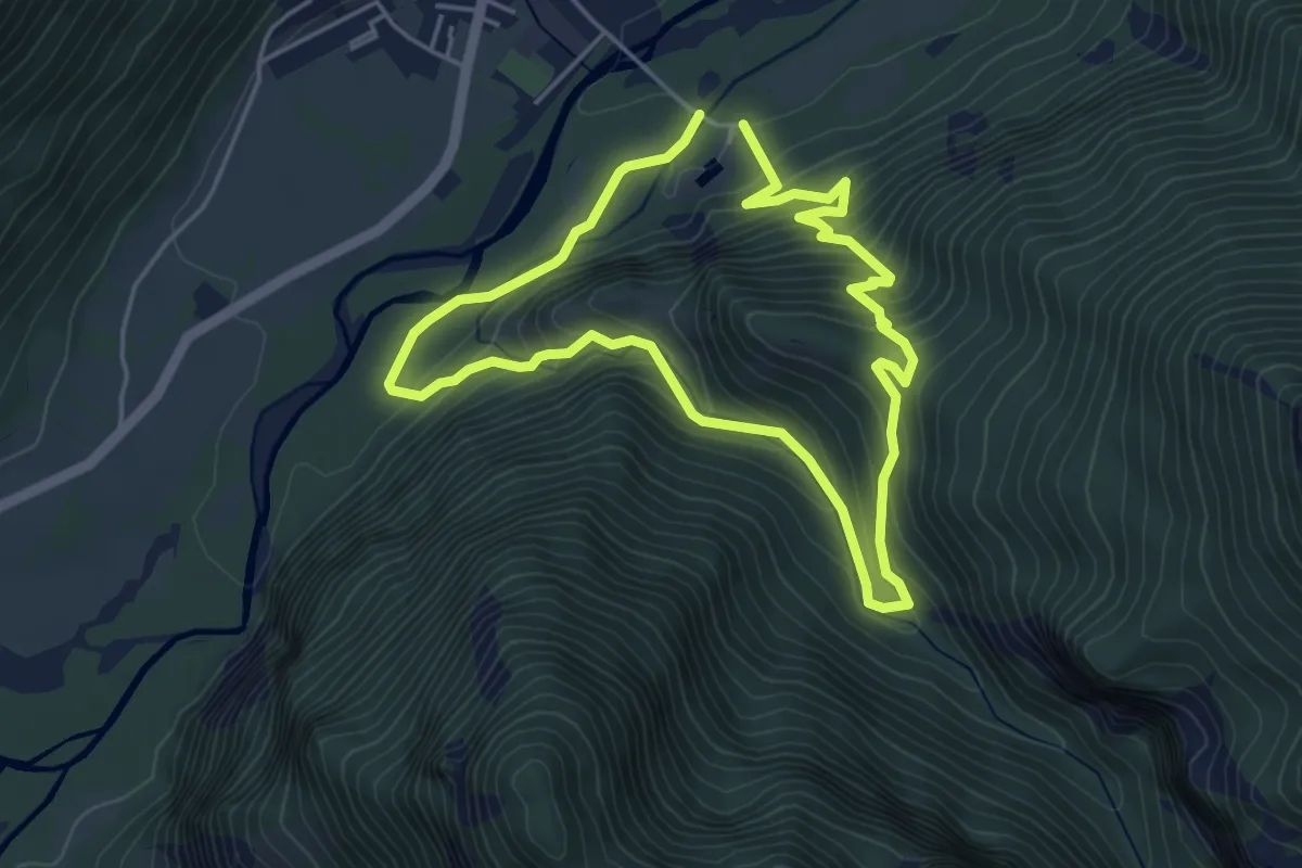
Easy · Summit
Valdieri, presso monte La Bastia, bivio CNAN37, CNAN39 – Valdieri, presso monte La Bastia, bivio CNAN37, CNAN39
4.3 km · ↑ 300 m · 1 h 43 min · 9 km away
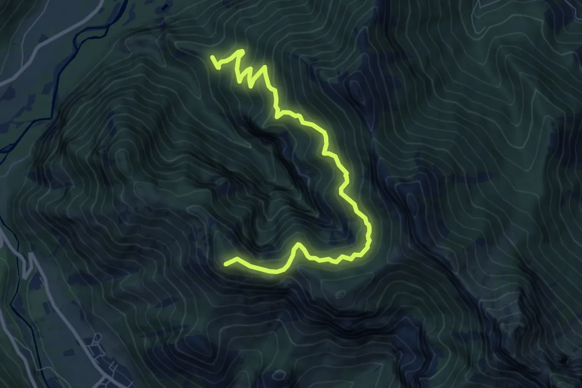
Demanding · Summit
Valdieri, C.Barca, bivio CNAN39, CNAN40 – Entracque, presso Monte Corno, bivio CNAN30, CNAN40
9.8 km · ↑ 807 m · 4 h 3 min · 9 km away
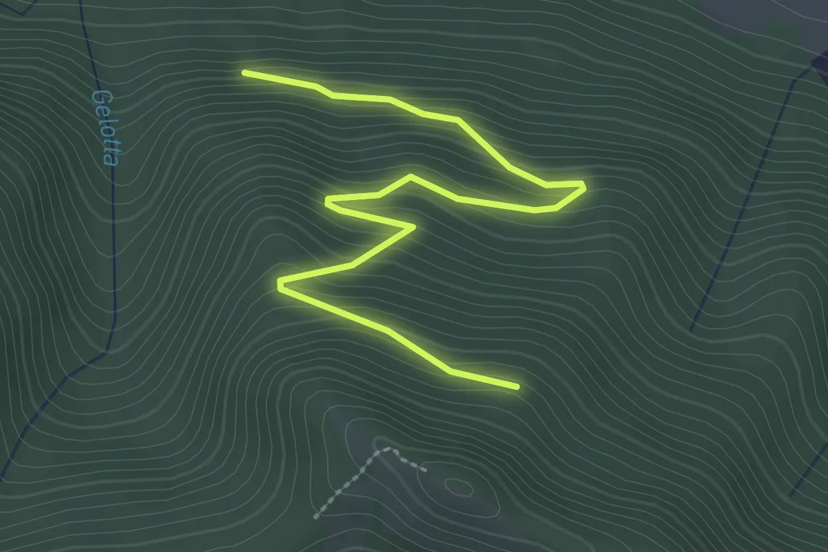
Easy · Trail
Valloriate, fonte Don Bruno, bivio CNAP79, CNAP79B – Valloriate, presso Monte Croce dell'Ubacco
3.3 km · ↑ 288 m · 1 h 25 min · 9 km away
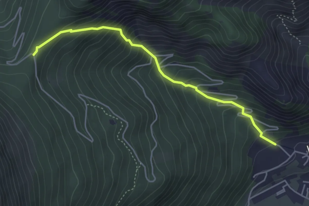
Medium · Trail
Bivio CNAN35-CNAN48 – Madonna del Colletto
4.2 km · ↑ 484 m · 2 h 3 min · 9 km away
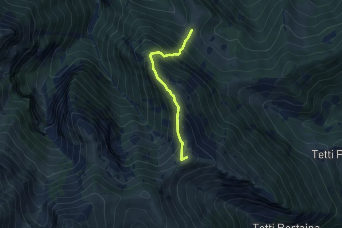
Medium · Summit
Roaschia, Colla delle Goderie, bivio CNAL39-CNAN47-CNAL29B – Vernante, bivio CNAL26C-CNAL29A-CNAL29B presso La Maddalena
3.9 km · ↑ 489 m · 1 h 59 min · 9 km away
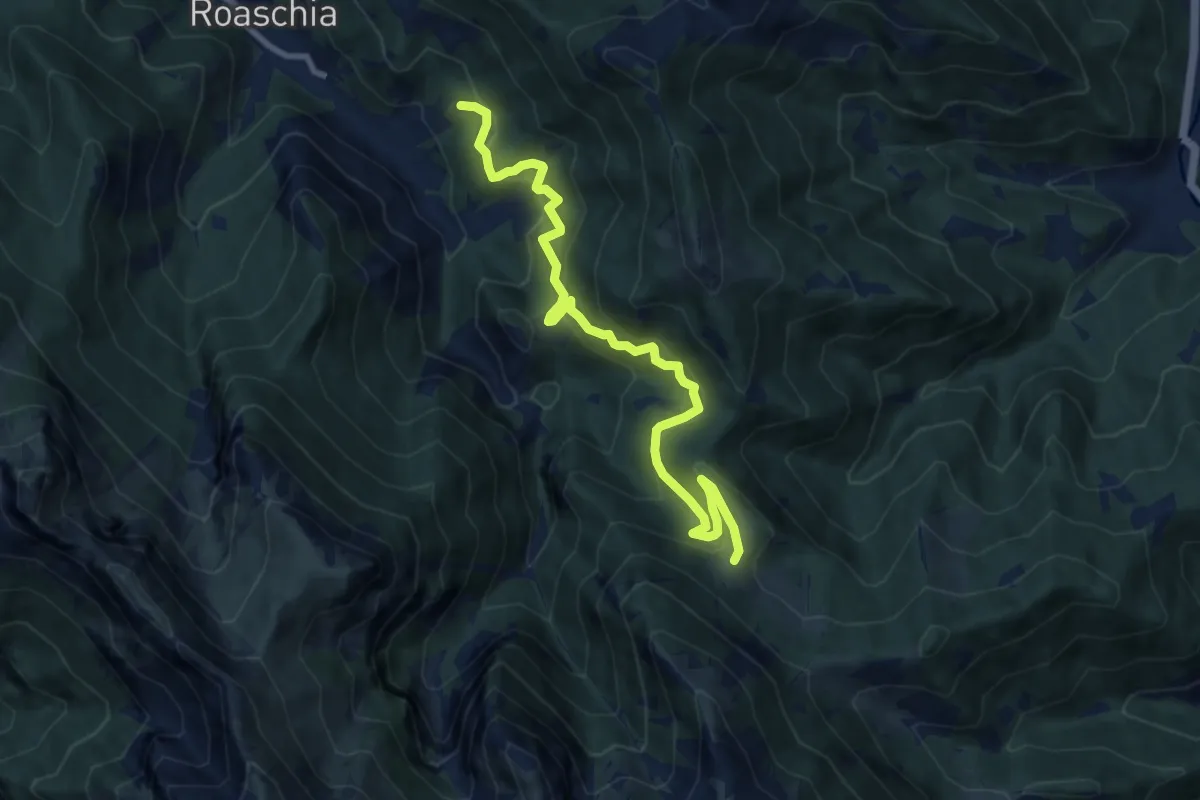
Medium · Trail
Roaschia, Tetto Lombardo, bivio CNAL35A, CNAN47 – Roaschia, colle delle Goderie, bivio CNAL29B, CNAL39, CNCN47
10.1 km · ↑ 662 m · 3 h 49 min · 9 km away
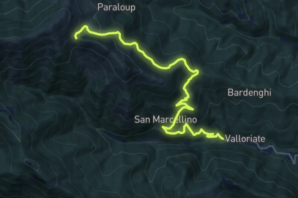
Demanding · Trail
Molino – Colle della Gorgia
14.3 km · ↑ 968 m · 5 h 28 min · 9 km away
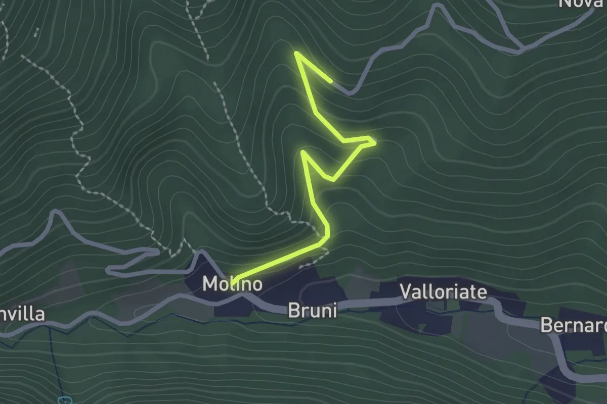
Easy · Trail
Valloriate, frazione Molino, bivio CNAP04-CNAP04C – Valloriate, borgata Passet, bivio CNAP04C-CNAP77
2.1 km · ↑ 122 m · 45 min · 10 km away
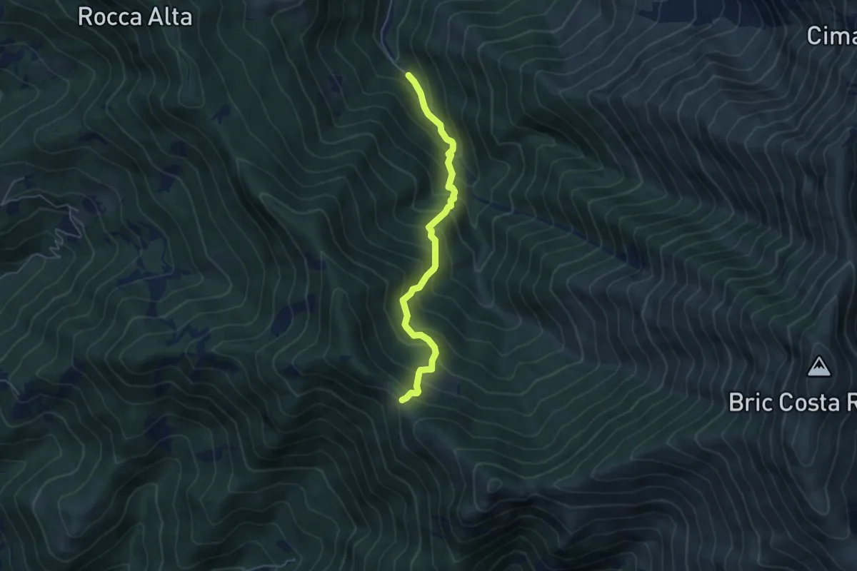
Medium · Trail
I Buscaje – Passo Ceresole, bivio L20-L21
4.9 km · ↑ 570 m · 2 h 24 min · 10 km away
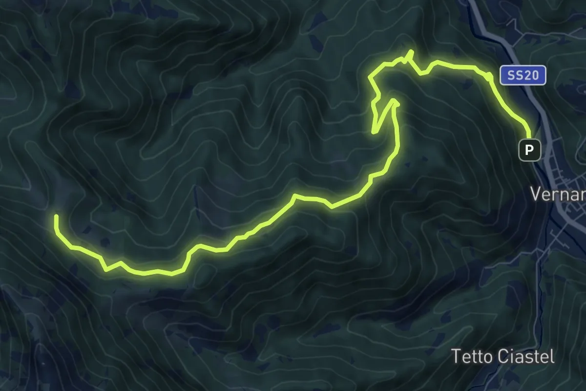
Medium · Trail
Vernante, bivio CNAL34, CNAL39 – Roaschia, Colla delle Goderie, bivio CNAL29B, CNAL39, CNAL47
12.2 km · ↑ 719 m · 4 h 27 min · 10 km away
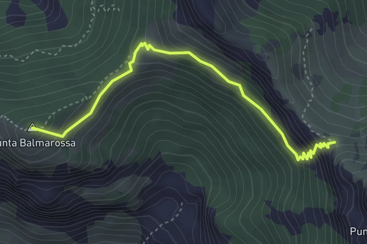
Medium · Summit
Paso di Costabella, bivio CNAN40, CNAN40A – Roaschia, passo del Van, bivio CNAN40A, CNAN44
3.7 km · ↑ 286 m · 1 h 30 min · 10 km away
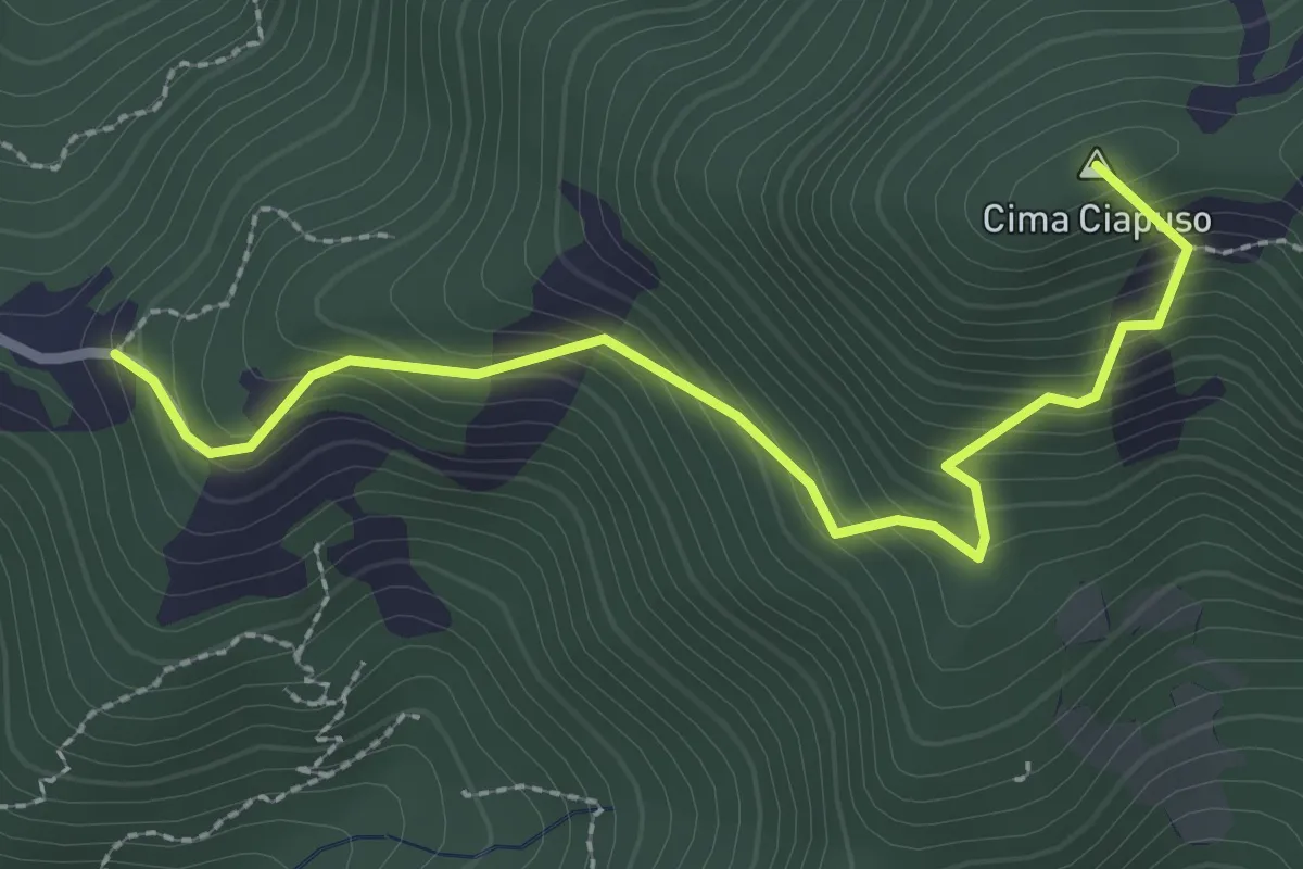
Medium · Summit
Vernante, borgata Tetto Croce, bivio CNAL08, CNAL33 – Passo Ceresole, bivio CNAL08, CNAL21
2.9 km · ↑ 304 m · 1 h 20 min · 10 km away
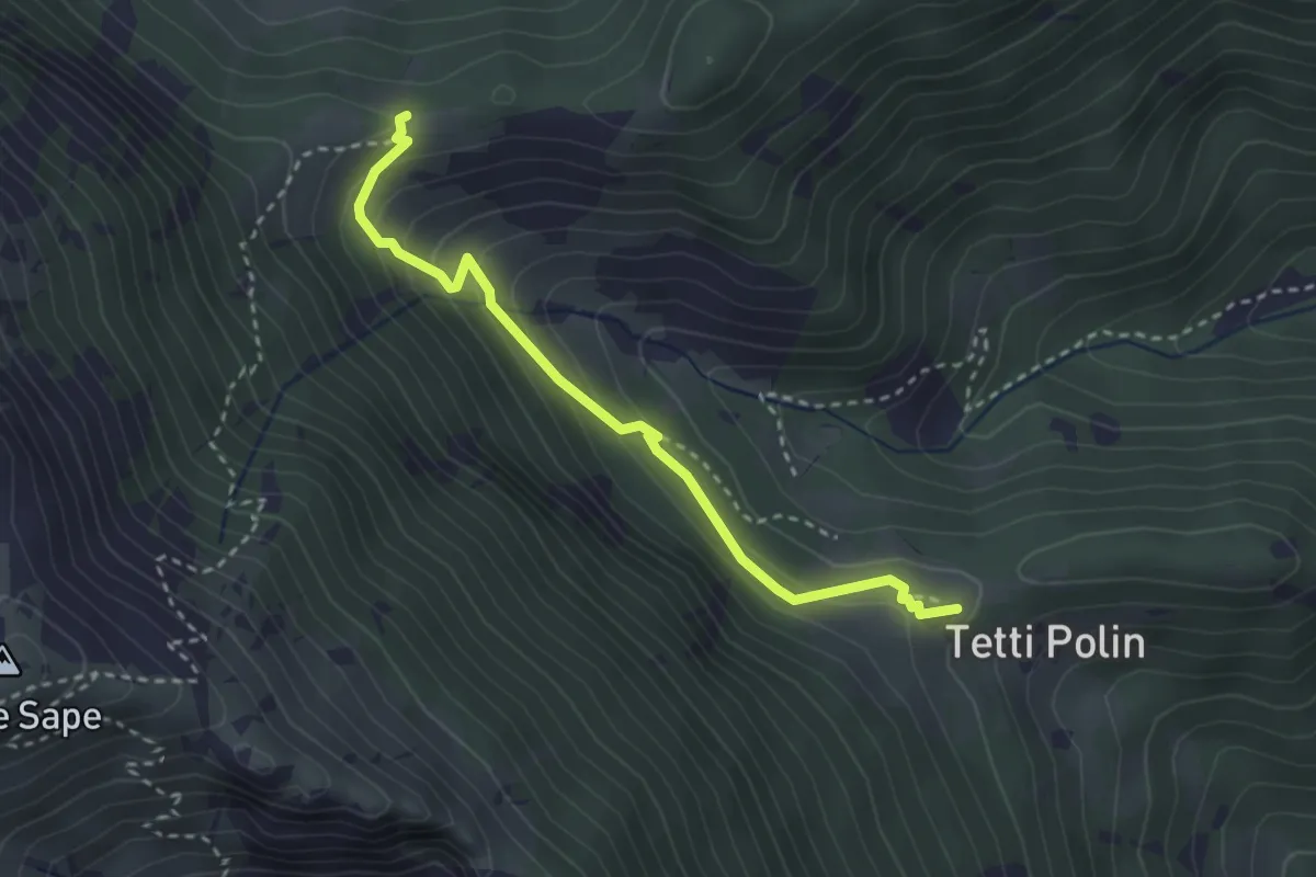
Medium · Trail
Vernante, presso Bric Martinet, bivio CNAL05A, CNAL26 – Vernante, bivio CNAL05, CNAL05A
3.1 km · ↑ 197 m · 1 h 10 min · 10 km away
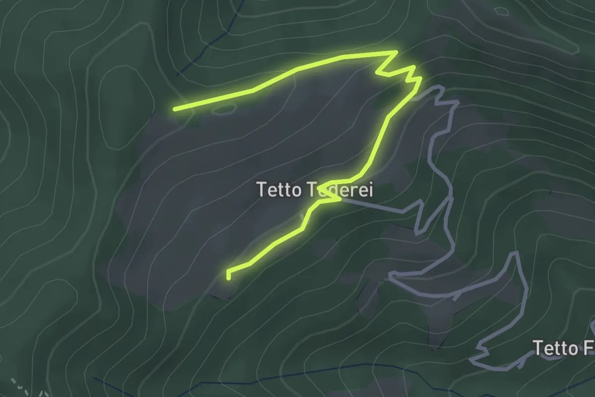
Easy · Trail
Moiola, Tetti Masue, bivio CNAP75-CNAP75A – Moiola, bivio CNAP75-CNAP75A presso Saret Alto
3.3 km · ↑ 103 m · 1 h 1 min · 10 km away
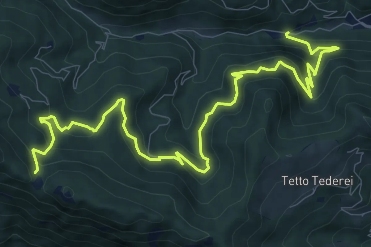
Demanding · Trail
Valloriate, bivio CNAP02, CNAP79 – Valloriate, Colle di Vallorite, bivio CNAP69, CNAP79
12.3 km · ↑ 828 m · 4 h 42 min · 10 km away
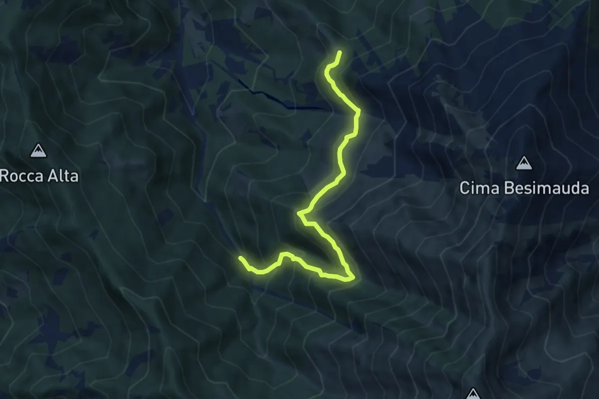
Medium · Trail
Bivio L19-L20, I Buscajé – Bivio L18-L19-L20, Colle della Bercia
8.1 km · ↑ 753 m · 3 h 32 min · 10 km away
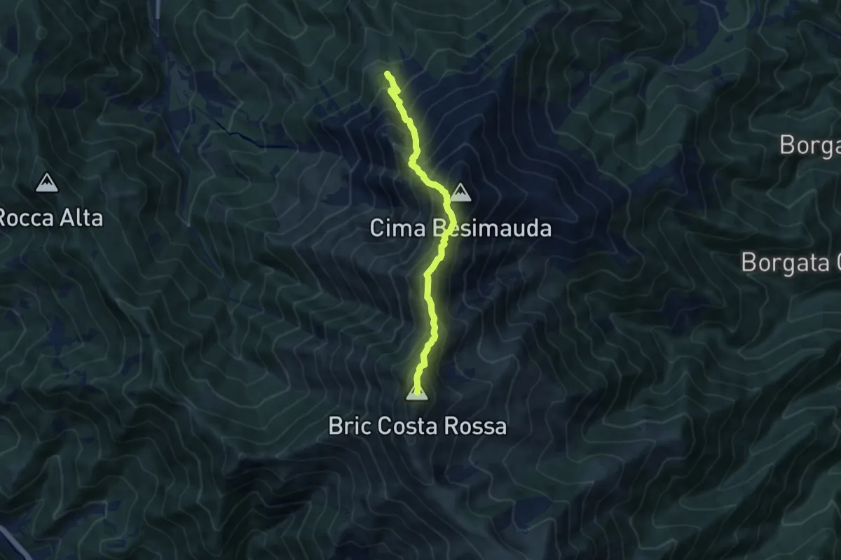
Demanding · Summit
Bivio sentiero L18 – Bric Costa Rossa
8.3 km · ↑ 985 m · 4 h 6 min · 10 km away
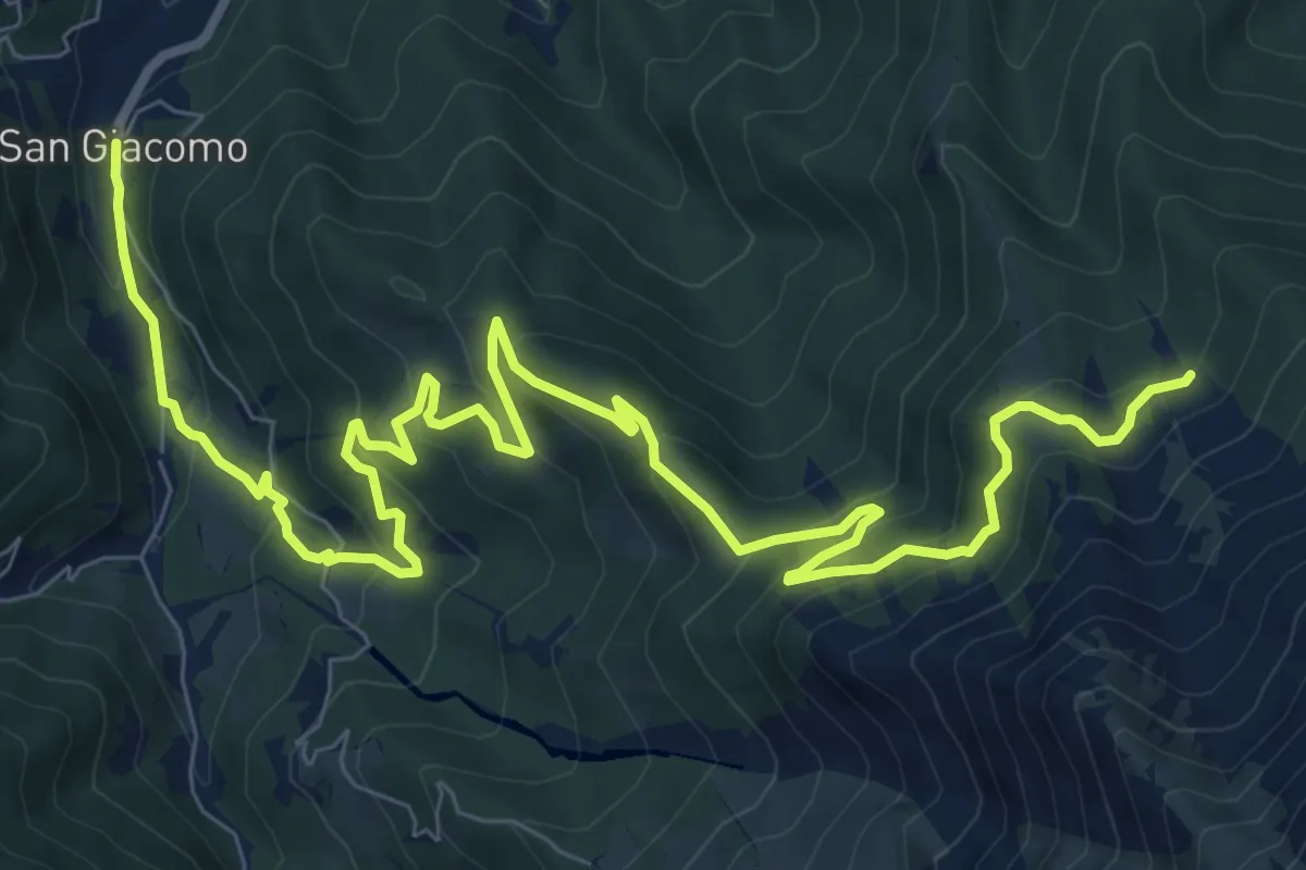
Medium · Trail
San Giacomo – Fontana Cappa
13.2 km · ↑ 795 m · 4 h 51 min · 10 km away
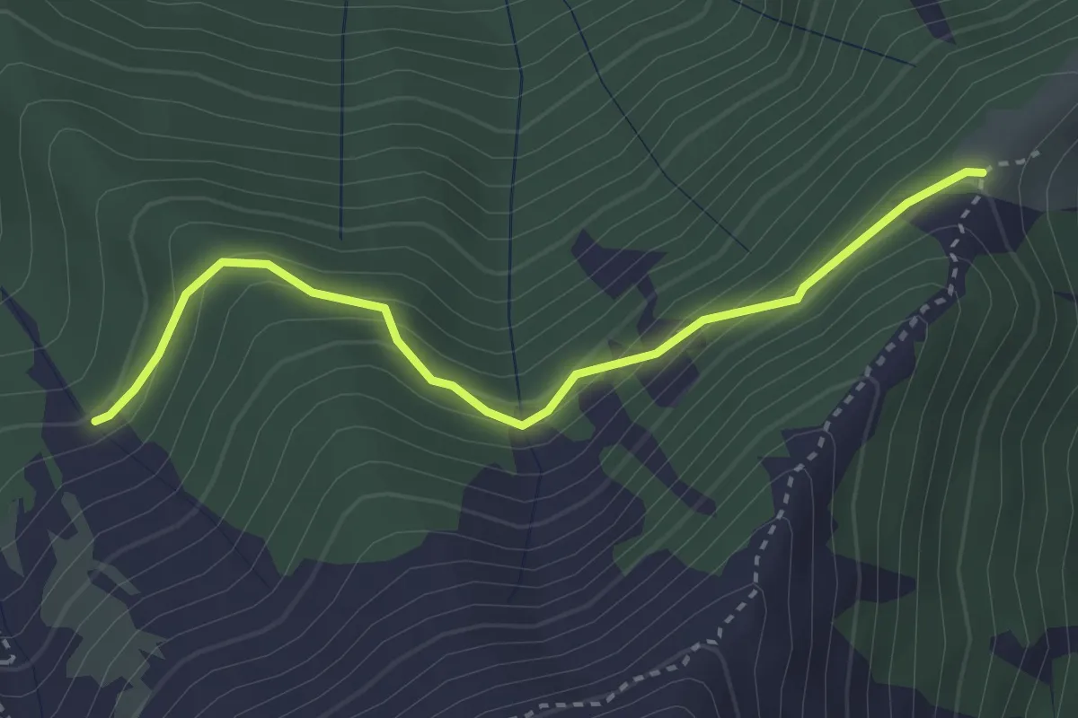
Medium · Trail
Peveragno. presso Gias della Sella, bivio CNAH16, CNAH26 – Peveragno, colletto del Moro, bivio CNAH26, CNAL33
3.3 km · ↑ 233 m · 1 h 17 min · 10 km away
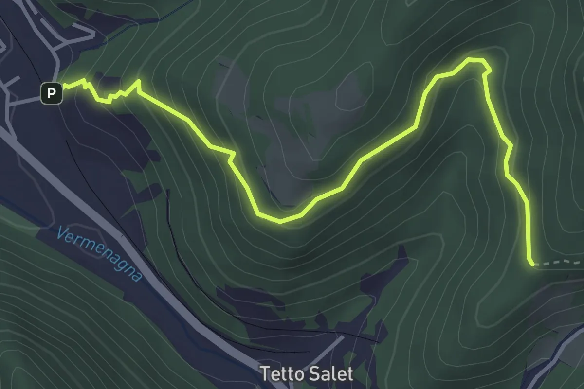
Medium · Trail
Vernante, Tetto Cesa, bivio CNAL33-CNAL45A – Vernante, Tetto Tola, bivio CNAL45-CNAL45A
4.2 km · ↑ 393 m · 1 h 51 min · 10 km away
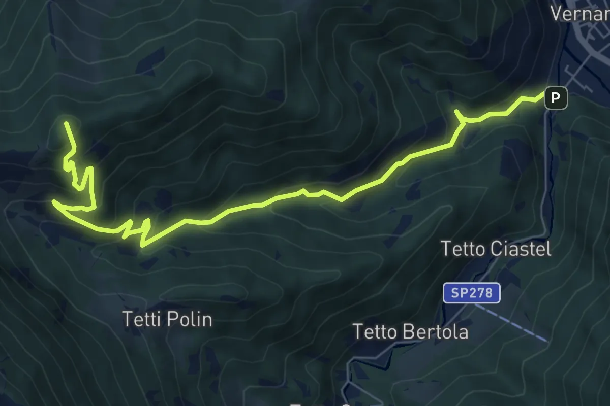
Medium · Summit
La Madonna – Tetti Goderie
8.5 km · ↑ 695 m · 3 h 30 min · 10 km away
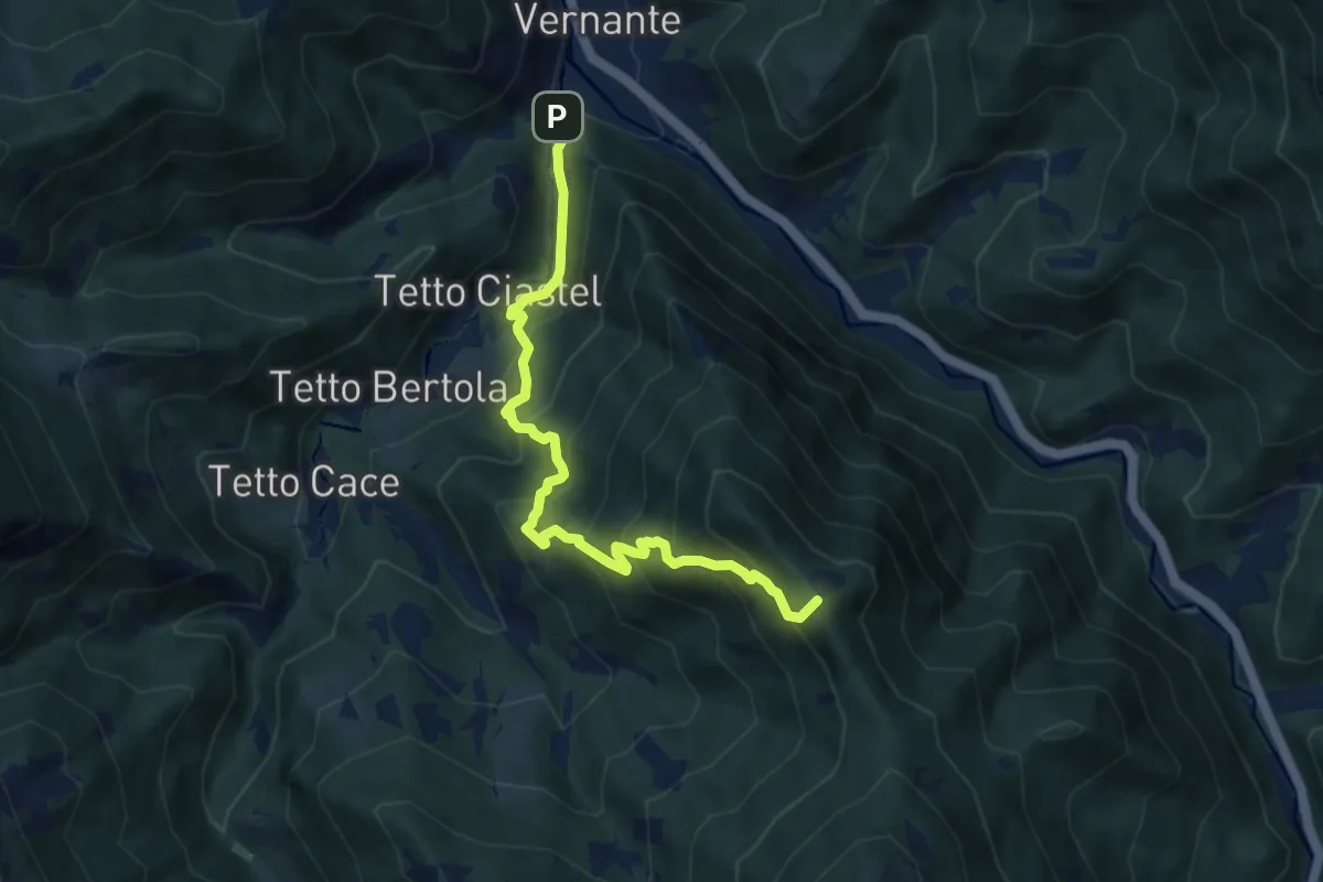
Demanding · Summit
Vernante, loc. La Madonna, bivio CNAL31-CNAL05 – Vernante, Colletto di Cagera, bivio CNAL31-CNAL30-CNAL09C
8.3 km · ↑ 814 m · 3 h 43 min · 10 km away
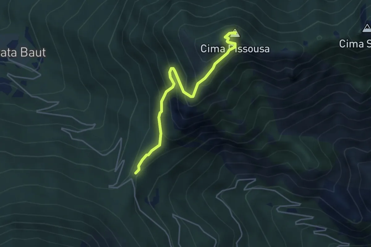
Medium · Summit
Demonte, Madonna del Colletto, bivio CNAP68-CNAP68A-CNAN48 – Moiola, Cima Pissousa, bivio CNAP68A-CNAP71B
4.0 km · ↑ 343 m · 1 h 41 min · 10 km away