Trails near Borgo San Dalmazzo
149 hikes starting within 15 km, nearest first.
Nearest first, page 3 of 4
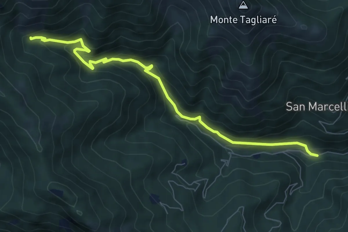
Medium · Trail
Valloriate, località Chiapue Sottano, bivio CNAP02, CNAP78 – Vallirate, bivio CNAP04A, CNAP78
8.3 km · ↑ 539 m · 3 h 7 min · 11 km away
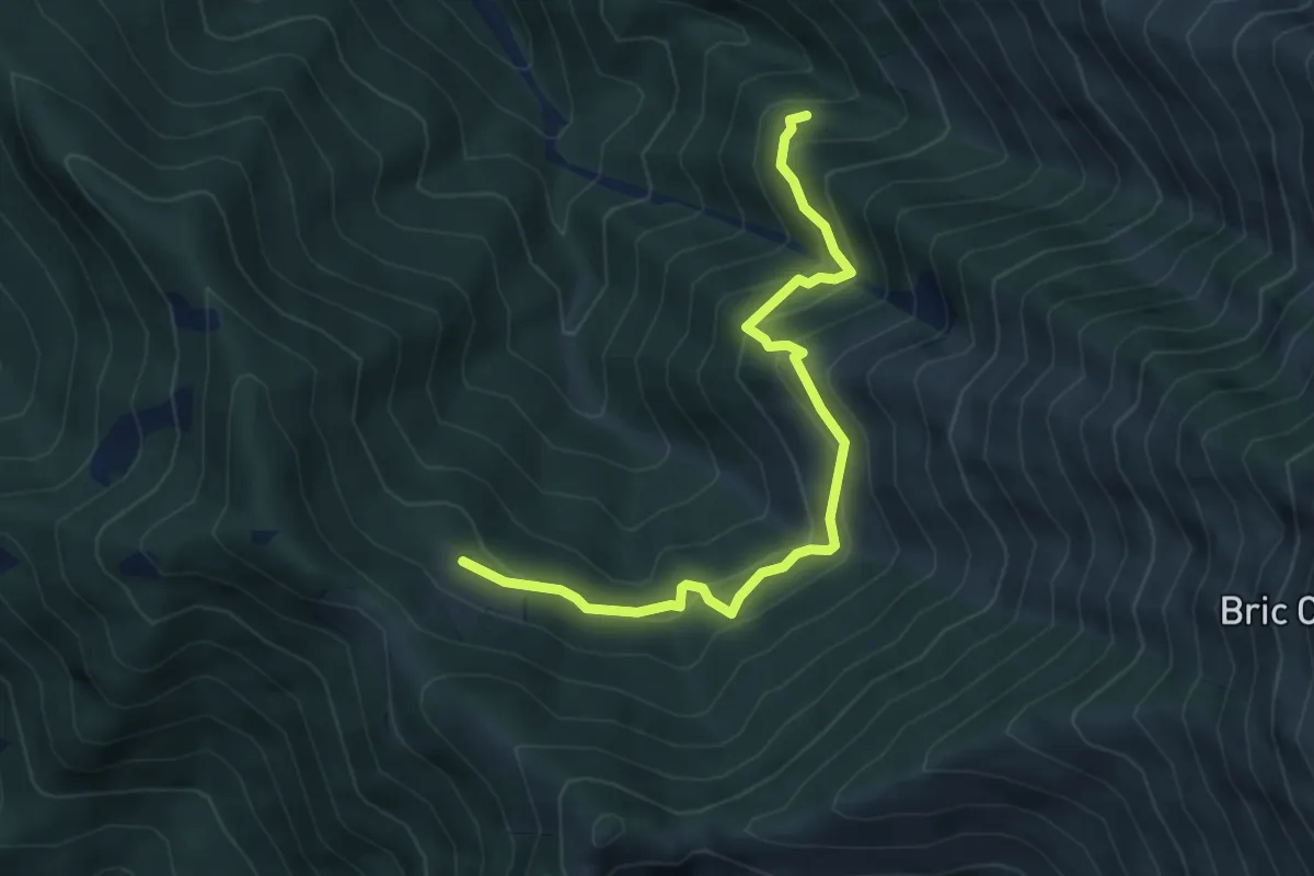
Medium · Cabin
Passo Ceresola, bivio L21-L38 – Pian la Soglia, bivio L19
5.3 km · ↑ 487 m · 2 h 18 min · 11 km away
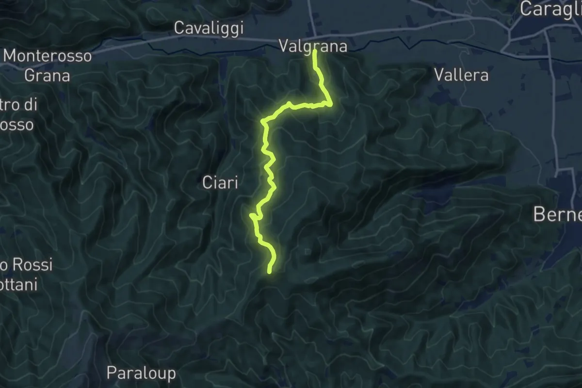
Medium · Trail
Valgrana, centro paese – presso località Tombarello, bivio CNAR25-CNAR39
11.5 km · ↑ 741 m · 4 h 19 min · 11 km away
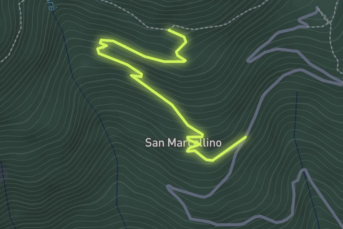
Easy · Trail
Valloriate, borgata San Marcellino Sottano, bivio CNAP04-CNAP04D – Valloriate, località Pichetta, bivio CNAP04A-CNAP04D
2.9 km · ↑ 175 m · 1 h 3 min · 11 km away
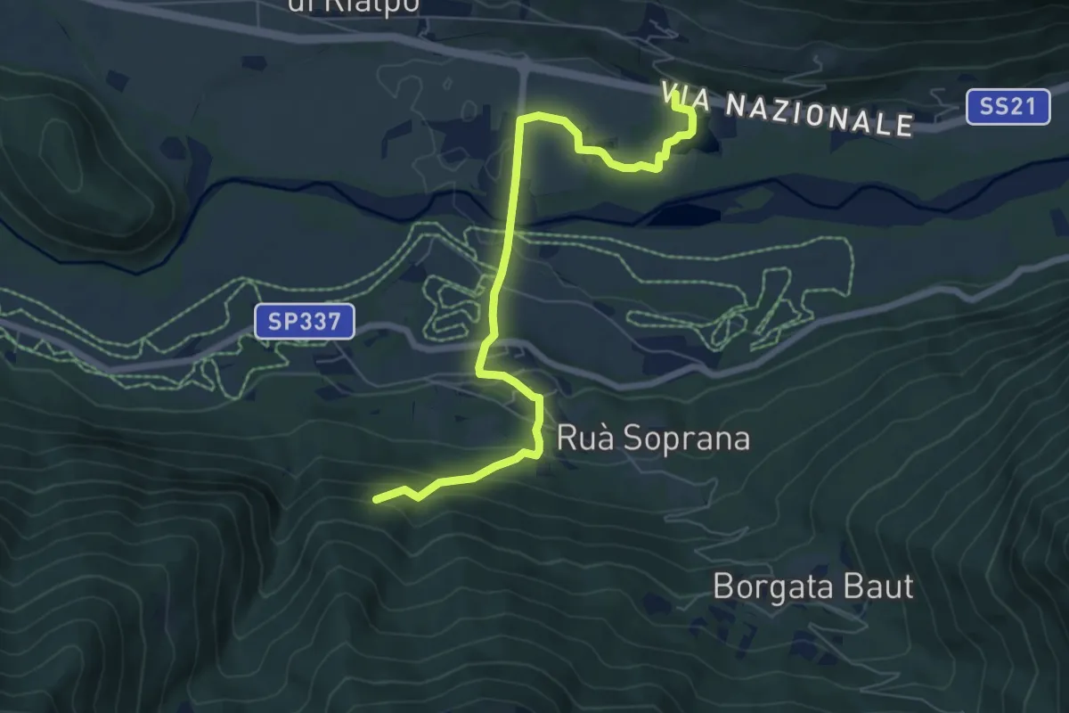
Easy · Trail
Demonte, presso frazione San Lorenzo, bivio CNAP52, CNAP53 – Demonte, presso borgata Carter, bivio CNAP52, CNAP52A
7.4 km · ↑ 269 m · 2 h 19 min · 11 km away
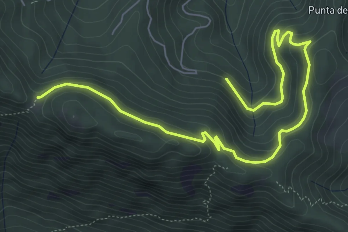
Medium · Trail
Valloriate, Tetti Pedoia, bivio CNAP79, CNAP79A – Valloriate, Colle di Valloriate, bivio CNAP69, CNAP79A
7.9 km · ↑ 357 m · 2 h 39 min · 11 km away
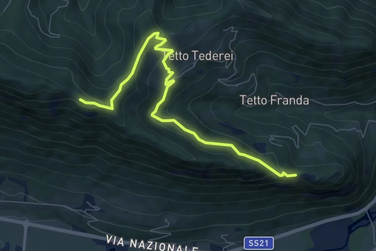
Medium · Trail
Moiola, bivio CNAP75-CNAP53 presso Madonna del'lIncoronata – Demonte, Colla del Bal, bivio CNAP43-CNAP75
7.9 km · ↑ 441 m · 2 h 49 min · 11 km away
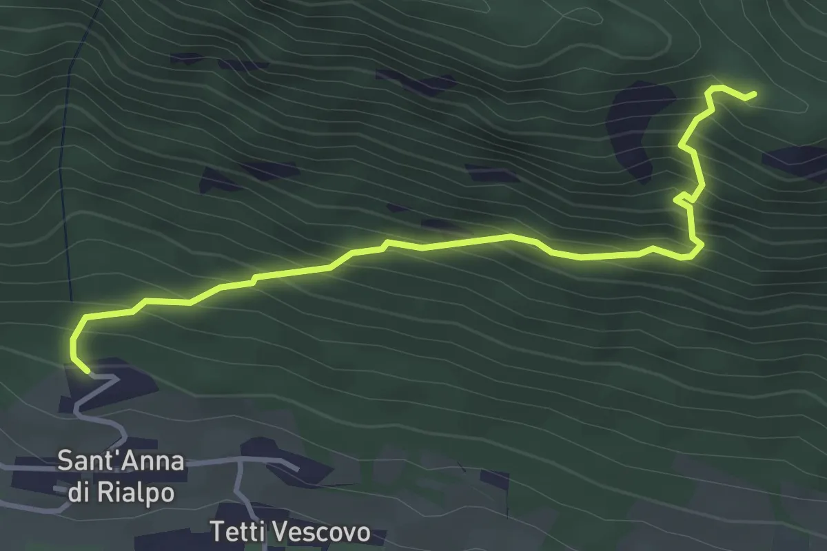
Medium · Trail
Sant'Anna di Rialpo – Colla del Bal
3.8 km · ↑ 458 m · 1 h 54 min · 11 km away
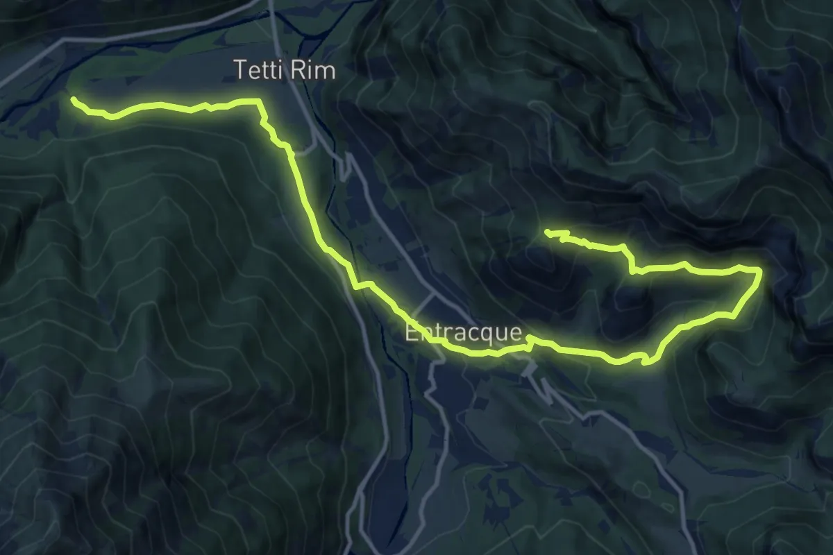
Medium · Trail
Valdieri, tetti Perulet, bivio CNAM30, CNAM35 – Entracque, Colletto della Lausa, bivio CNAN30, CNAM30
17.8 km · ↑ 724 m · 5 h 47 min · 11 km away
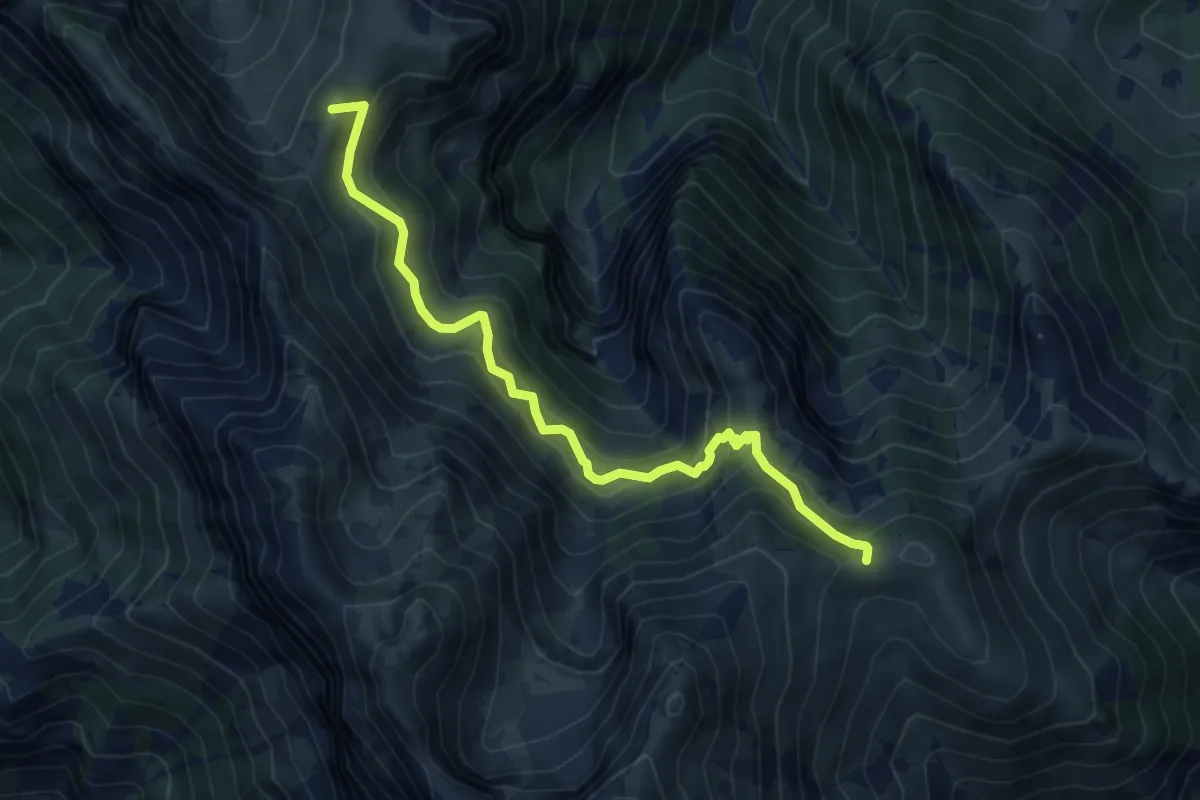
Medium · Summit
Roaschia, colla del Monte Balur, bivio CNAN29, CNAN29A – Vernante, bivio CNAL26A, CNAN29A, CNAN29B
6.6 km · ↑ 531 m · 2 h 42 min · 11 km away
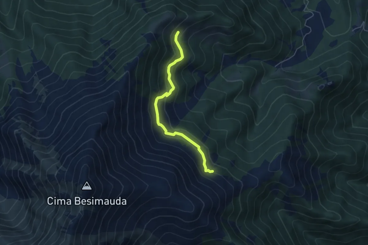
Easy · Trail
Bivio sentiero H16 – Bivio sentiero H16B
4.7 km · ↑ 279 m · 1 h 43 min · 12 km away
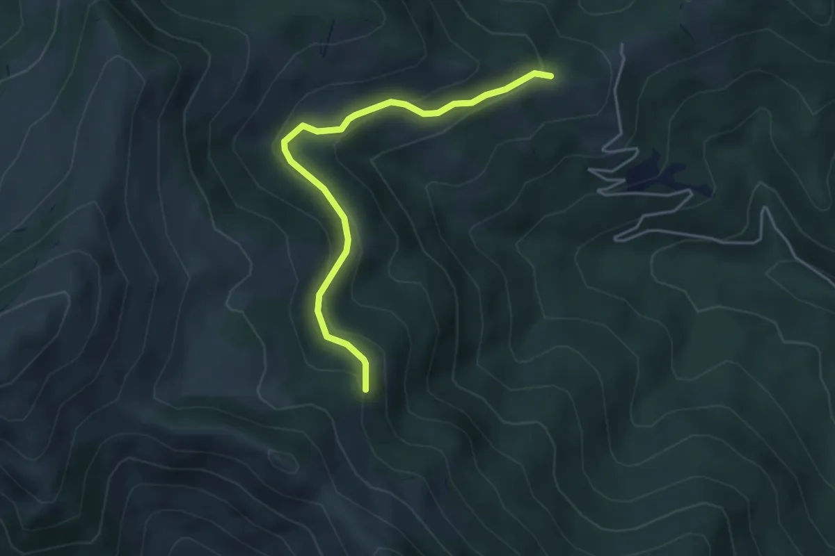
Easy · Trail
Rittana, località Ghiapera, bivio CNAP04B-CNAR25 – Valloriate, presso Paralup, bivio CNAP04-CNAP04B
4.3 km · ↑ 205 m · 1 h 28 min · 12 km away
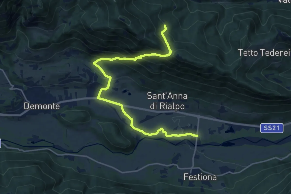
Medium · Trail
Demonte, bivio CNAP52-CNAP69 presso ponte sullo Stura – Valloriate, frazione Sapè Soprana, bivio CNAP02-CNAP69
14.0 km · ↑ 674 m · 4 h 46 min · 12 km away
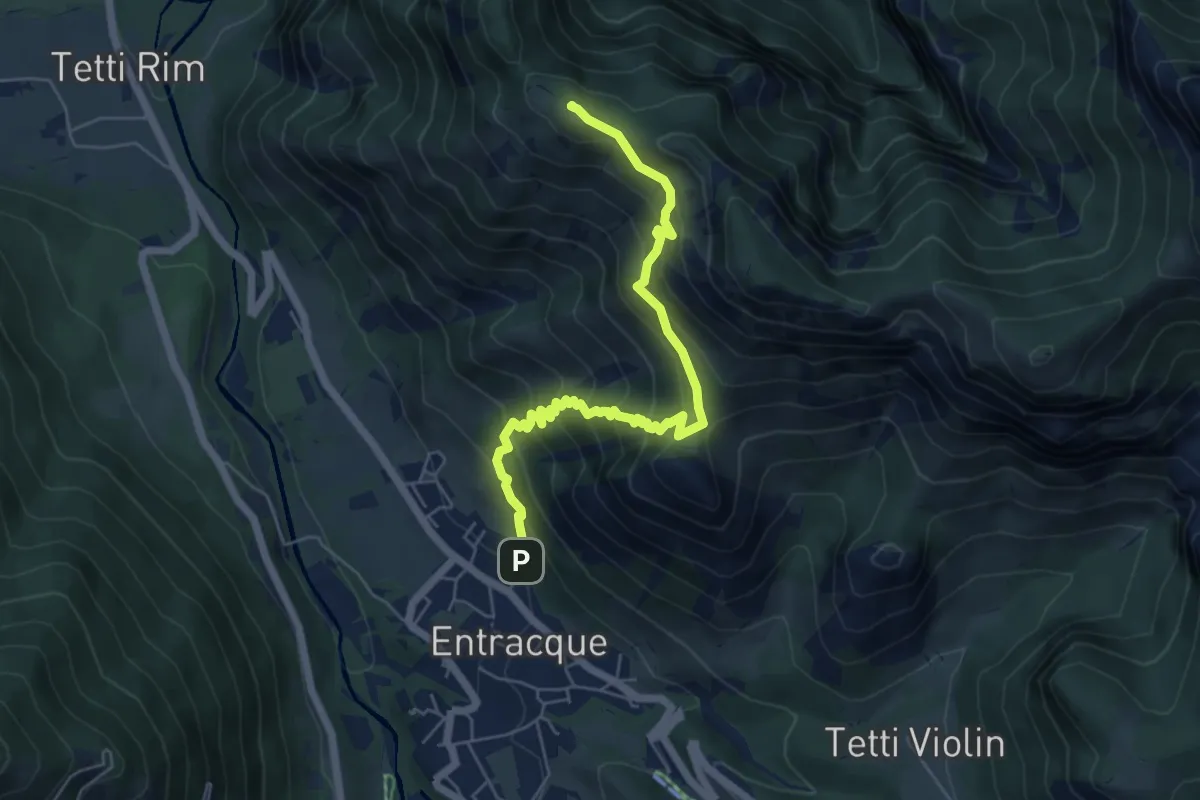
Medium · Summit
Entracque, via Caduti in Guerra – Entracque, Monte Corno
6.4 km · ↑ 609 m · 2 h 50 min · 12 km away
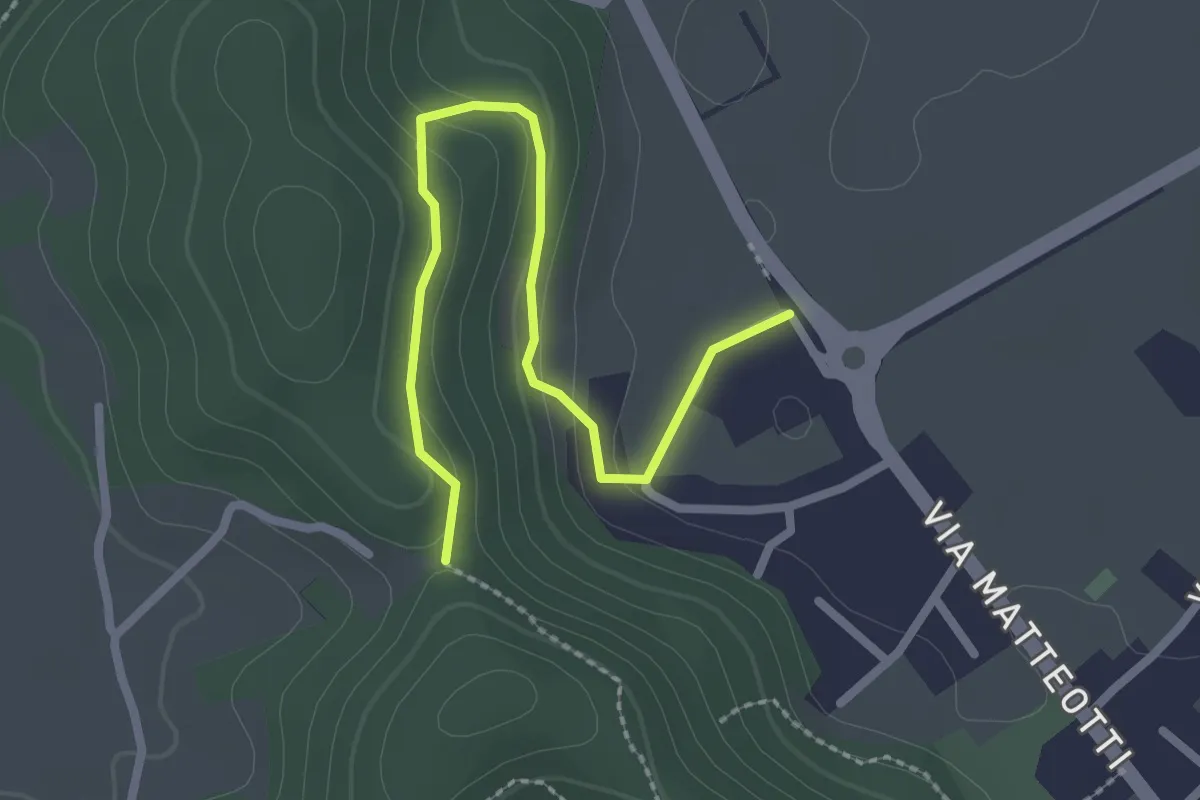
Easy · Trail
Filatoio di Caraglio – Caraglio, presso pilone di Bergù, bivio CNAR45-CNAR45A
2.7 km · ↑ 93 m · 51 min · 12 km away
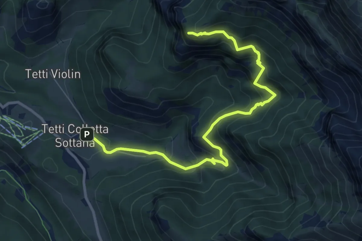
Medium · Trail
Sentiero di Camilla
8.2 km · ↑ 710 m · 3 h 29 min · 12 km away
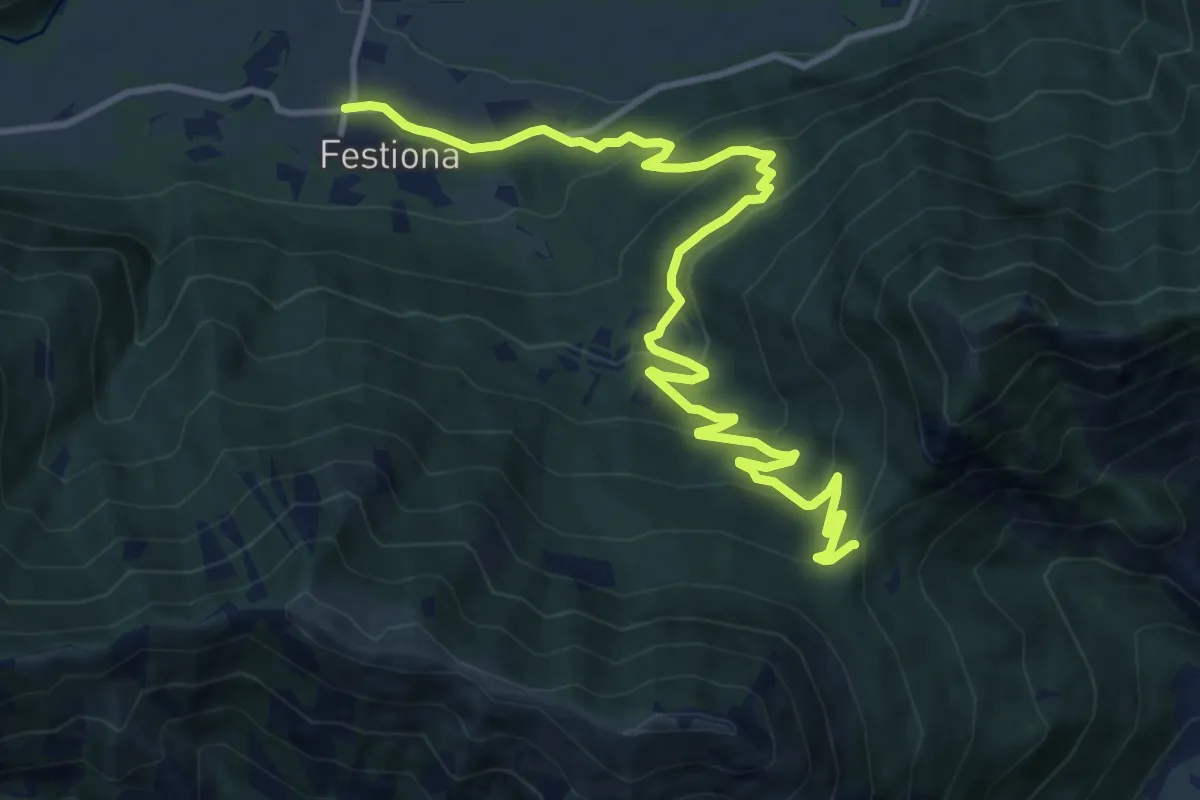
Medium · Trail
Demonte, frazione Festiona, bivio CNAP52-CNAP68 – Demonte, Madonna del Colletto, bivio CNAP48-CNAP68-CNAP68A
14.3 km · ↑ 621 m · 4 h 43 min · 12 km away
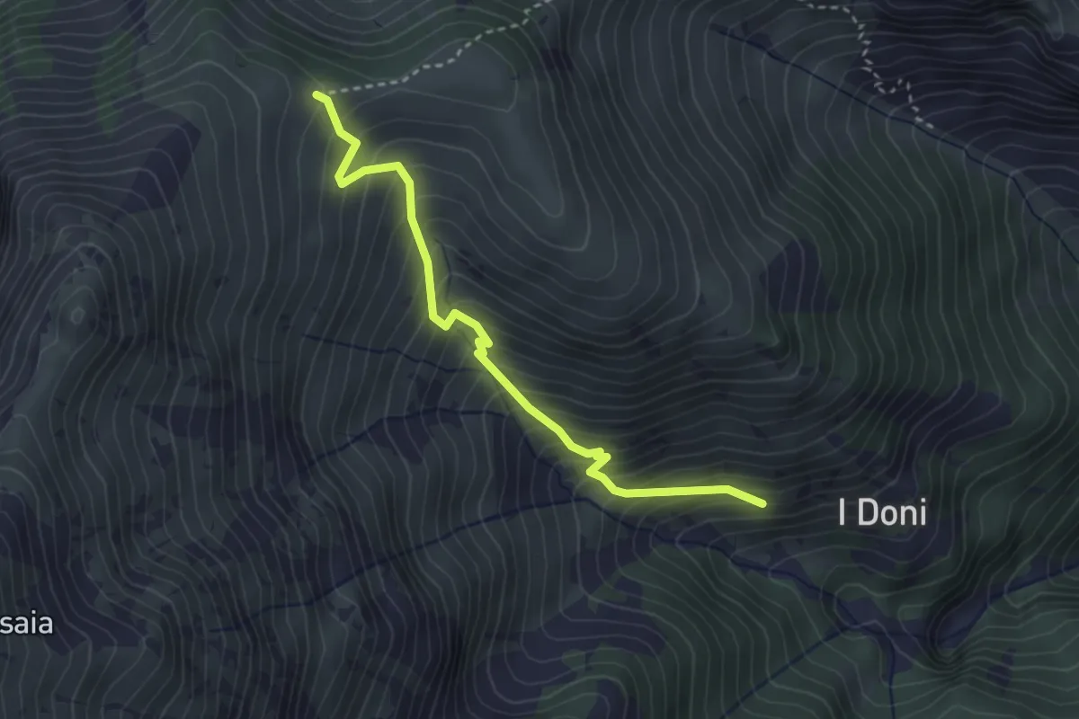
Medium · Trail
Vernante, presso I Doni, bivio CNAL26, CNAL26C – bivio CNAL26C, CNAN29A, CNAN29B
3.4 km · ↑ 440 m · 1 h 45 min · 12 km away
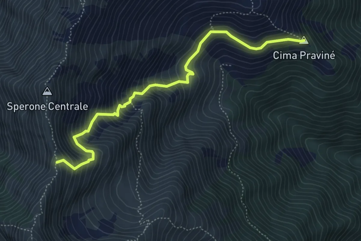
Medium · Summit
Gias Pravine Sottano, bivio H09-H17 – Bric Costa Rossa, bivio CNAL17-CNAH17
6.0 km · ↑ 711 m · 2 h 57 min · 12 km away
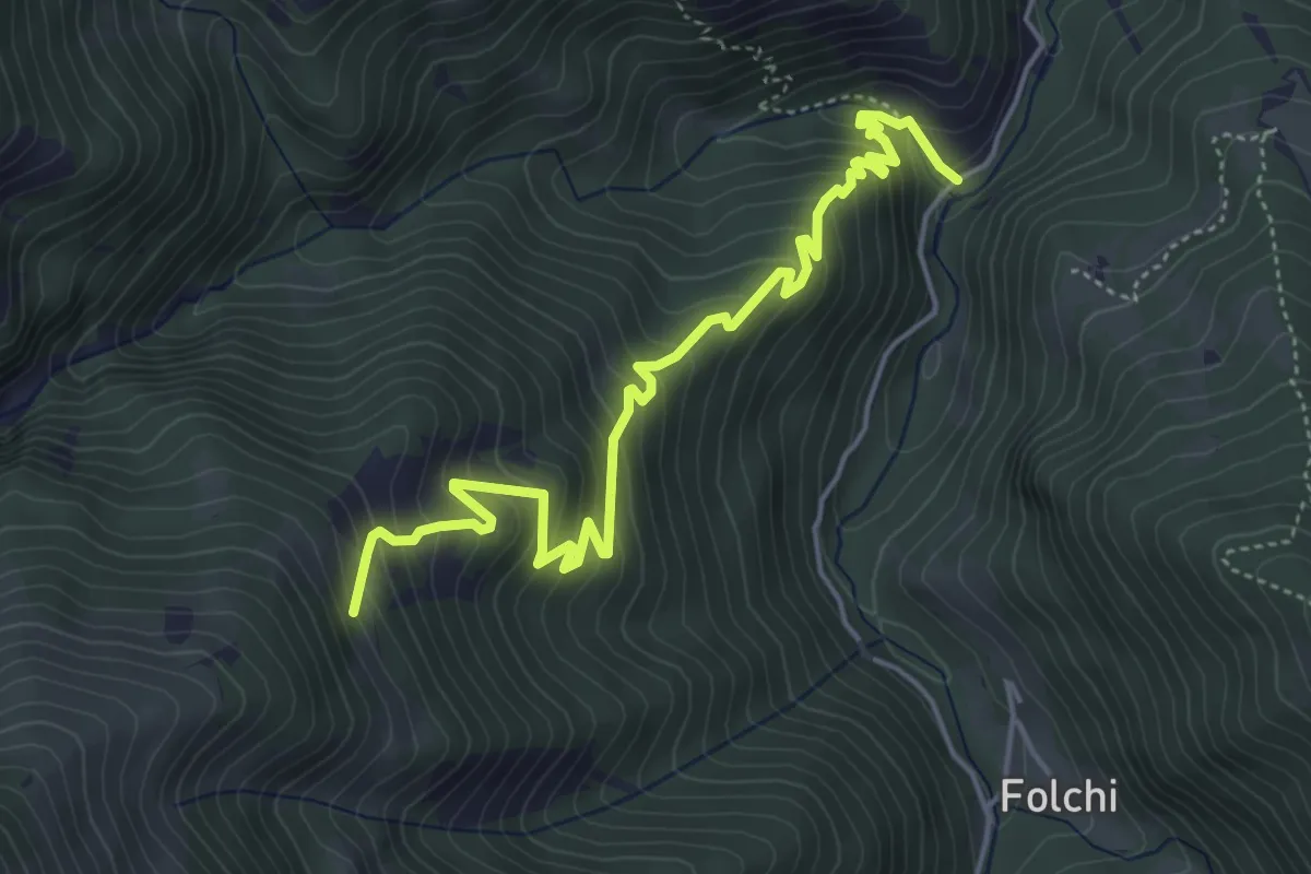
Medium · Trail
Vernante, valle Cornale – Vernante, bivio CNAL26, CNAL26B
5.7 km · ↑ 558 m · 2 h 34 min · 12 km away
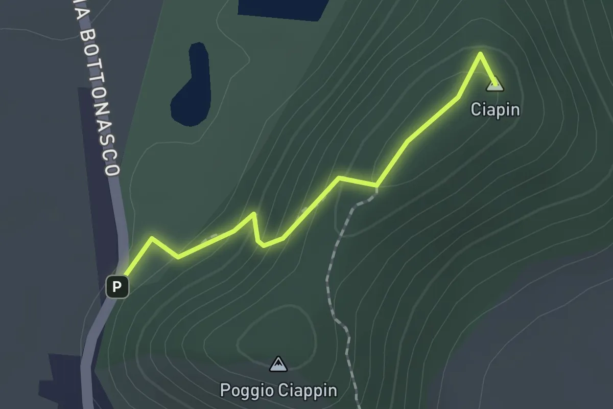
Easy · Summit
Ingresso Bioparco Acquaviva – Bivio R45-R45C, Borgo Paniale
1.5 km · ↑ 94 m · 34 min · 12 km away
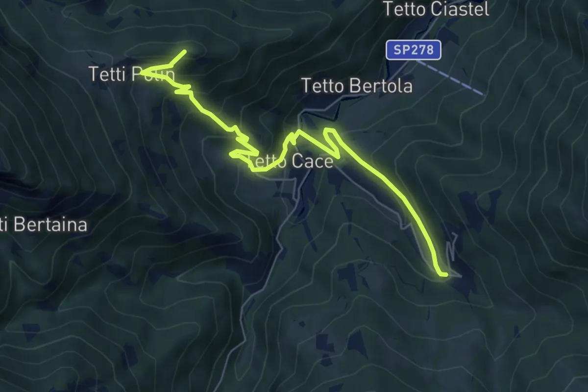
Medium · Summit
Vernante, bivio CNAL26-CNAL26A presso Bric Martinet – Vernante, Tetti Fustin, bivio CNAL31-CNAL26A
7.0 km · ↑ 510 m · 2 h 45 min · 12 km away
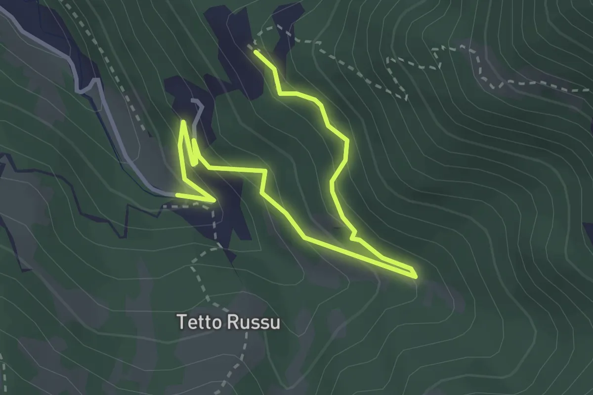
Medium · Trail
Vernante, Tetto Rivoira, bivio CNAL09, CNAL26A, CNL31A – Vernante, Tetti Fustin, bivio CNAL31, CNAL31A
3.8 km · ↑ 295 m · 1 h 33 min · 12 km away
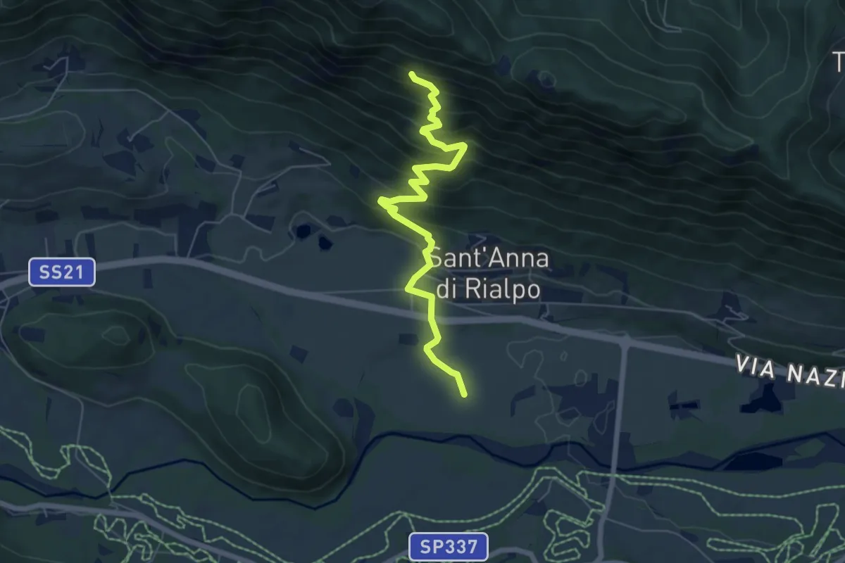
Medium · Trail
Bivio CNAP69A-CNAP52 presso Rialpo – Bivio CNAP69A-CNAP69
6.5 km · ↑ 484 m · 2 h 34 min · 12 km away
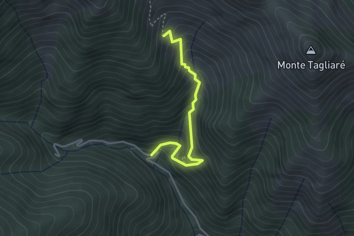
Medium · Trail
Valloriate, località Piantacoma, bivio CNAP78, CNAP78A – Valloriate, Pra Robert, bivo CNAP04A, CNAP78A
3.0 km · ↑ 399 m · 1 h 35 min · 12 km away
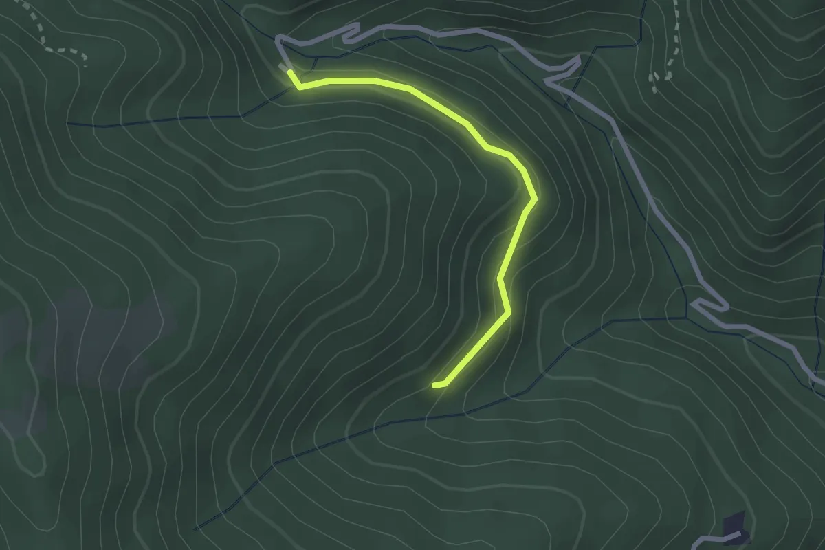
Easy · Trail
Valloriate, bivio CNAP78, CNAP78B – Valloriate, località Lognano
2.2 km · ↑ 106 m · 44 min · 13 km away
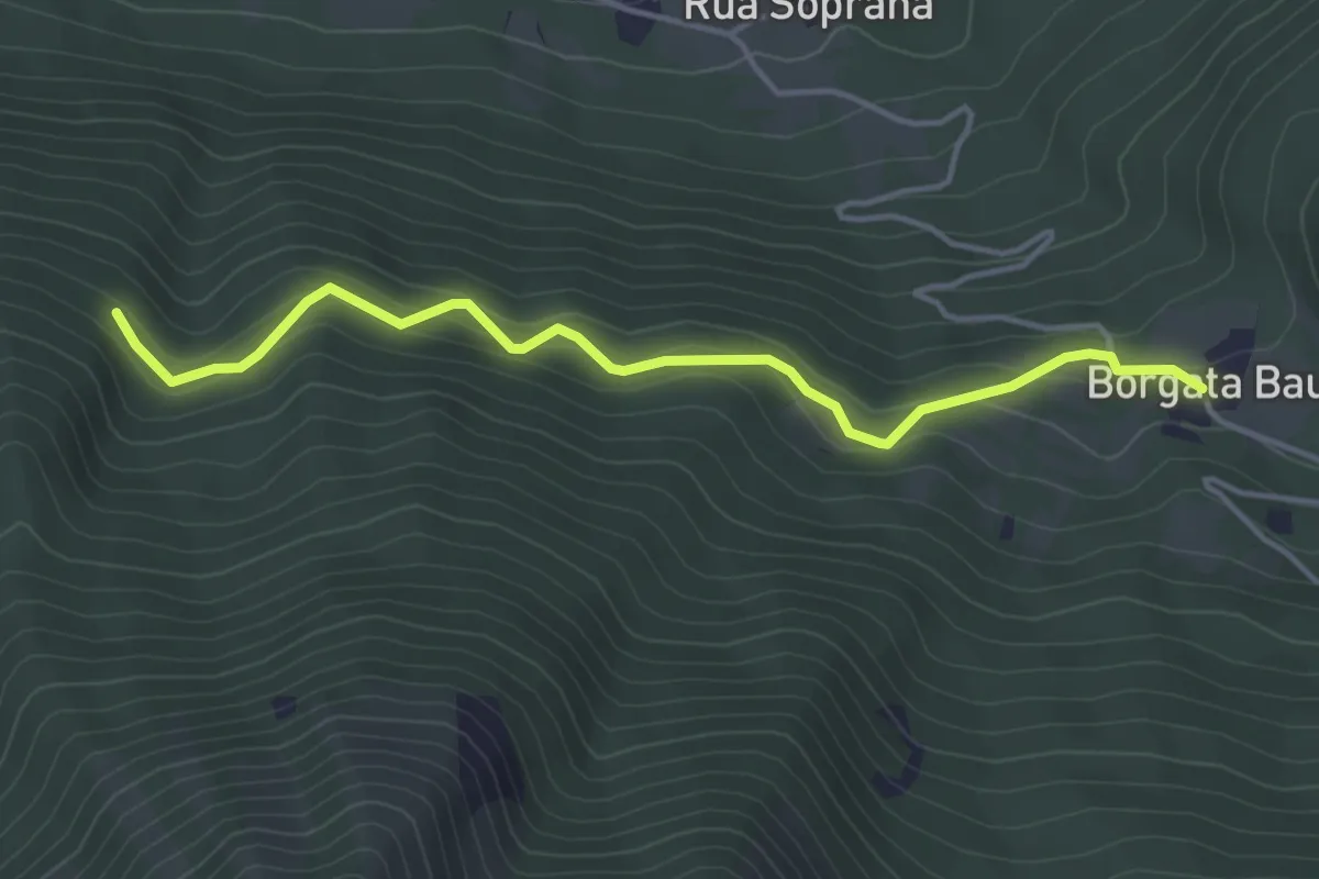
Easy · Trail
Demonte, Tetti Baut, bivio CNAP52A-CNAP68 – Demonte, Case Ciarussa, bivio CNAP52-CNAP52A
4.4 km · ↑ 207 m · 1 h 29 min · 13 km away
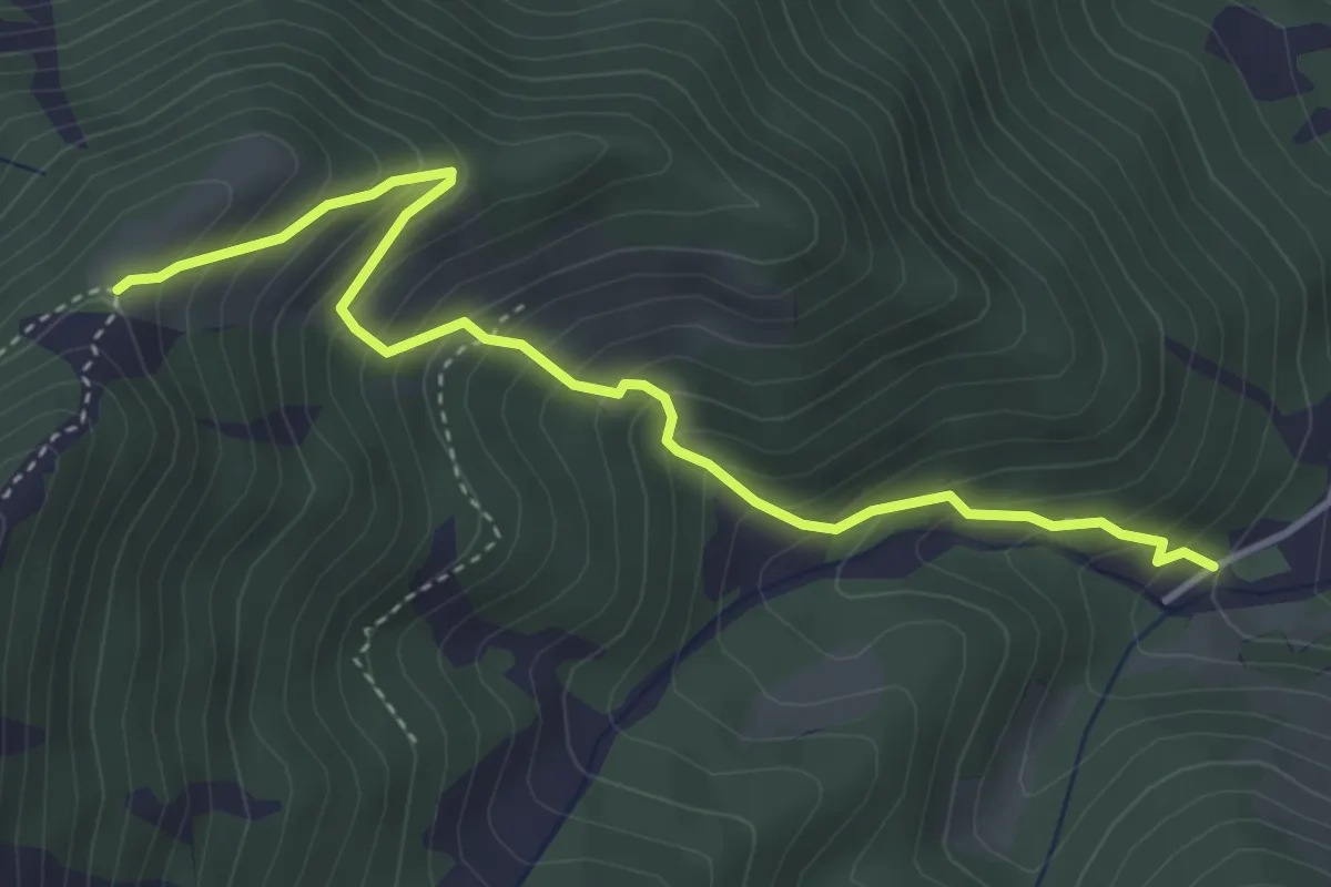
Medium · Trail
Conca delle Meschie – Gias della Sella
4.4 km · ↑ 489 m · 2 h 6 min · 13 km away
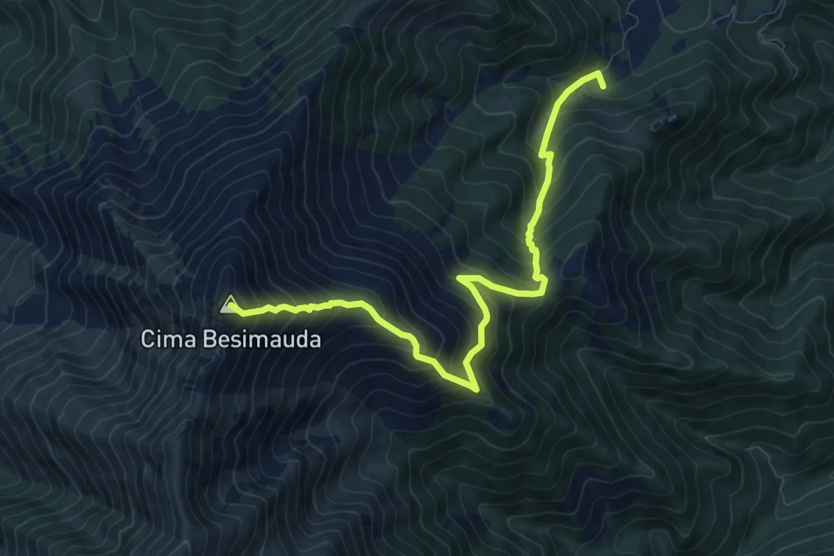
Demanding · Summit
ponte su Rio Grosso – Monte Besimauda
10.3 km · ↑ 1196 m · 5 h 2 min · 13 km away
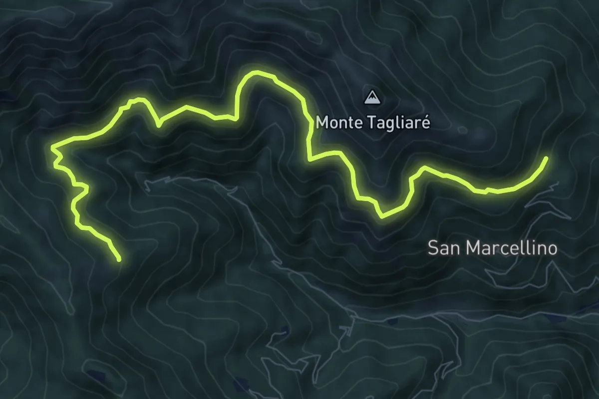
Medium · Trail
Valloriate, presso borgata Chiotti Soprani, bivio CNAP04-CNAP04A – Valloriate, bivio CNAP02, CNAP04A
12.0 km · ↑ 721 m · 4 h 23 min · 13 km away
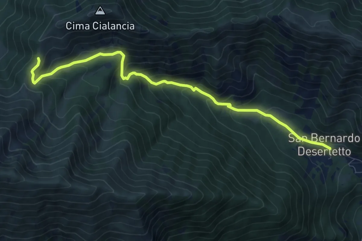
Medium · Trail
Valdieri, frazione San Bernerdo, bivio CNAN03, CNAN35 – Colle dell'Arpione, bivio CNAN03, CNAN05
9.9 km · ↑ 652 m · 3 h 45 min · 13 km away
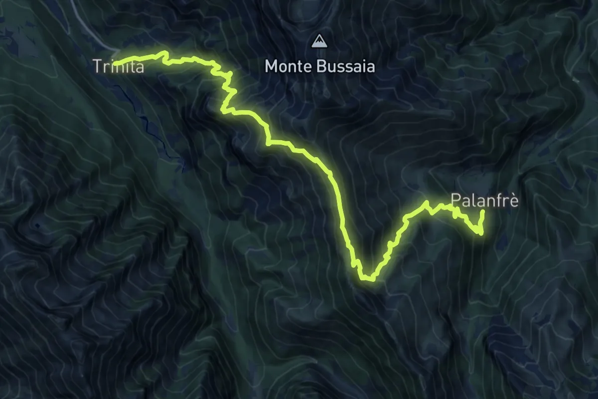
Demanding · Cabin
Palanfrè – Trinità
10.8 km · ↑ 1136 m · 5 h 1 min · 13 km away
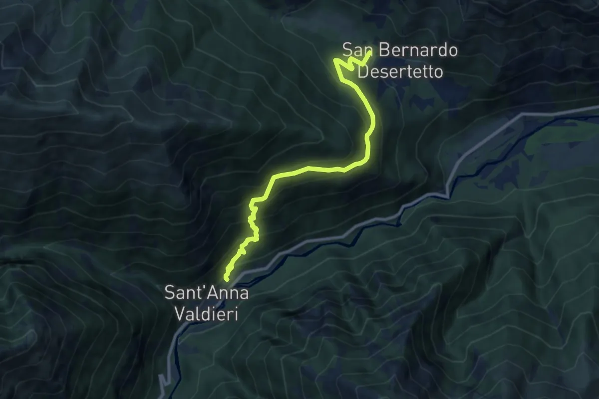
Medium · Trail
Sant'Anna di Valdieri, bivio CNAN33, CNAN34 – San Bernardo di Valdieri, bivio CNAN03, CNAN33
8.6 km · ↑ 756 m · 3 h 40 min · 13 km away
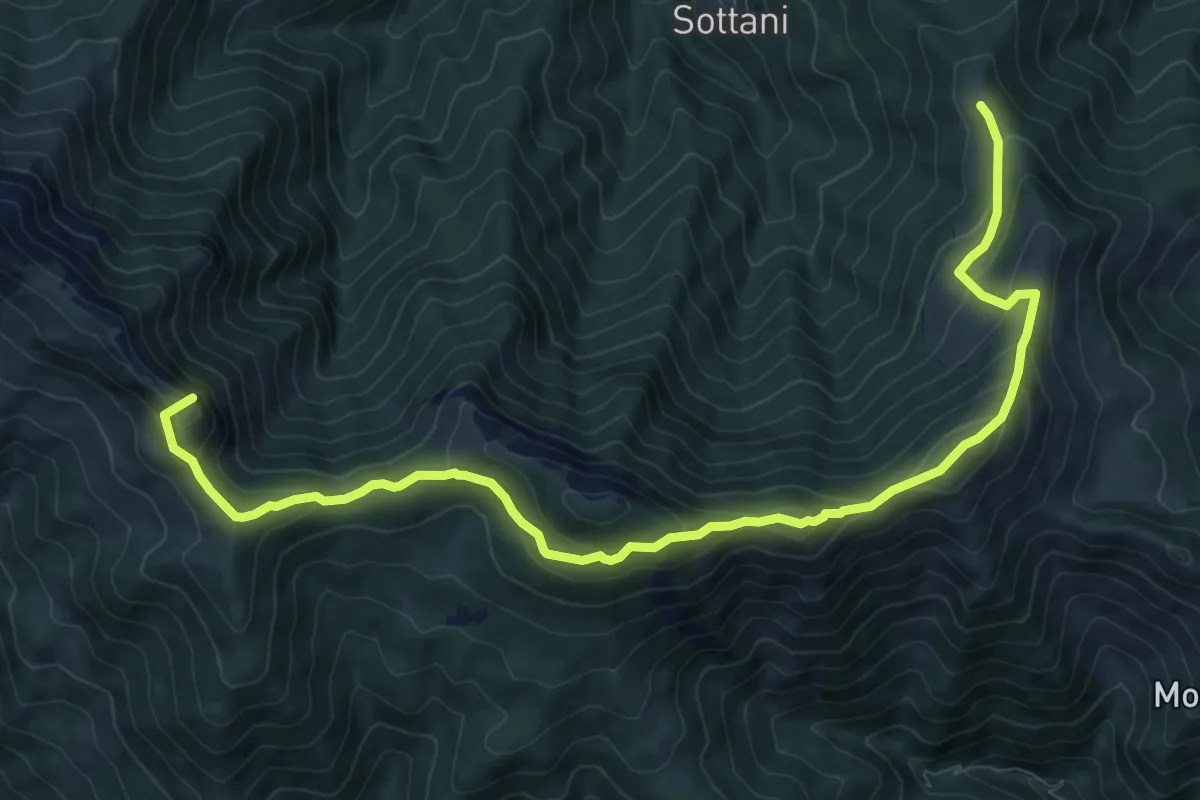
Medium · Summit
Monterosso Grana, Pilone dell'Estela, bivio R01-R25-R26 – Monterosso Grana, bivacco Rousset, bivio R03-R26
12.7 km · ↑ 749 m · 4 h 37 min · 13 km away
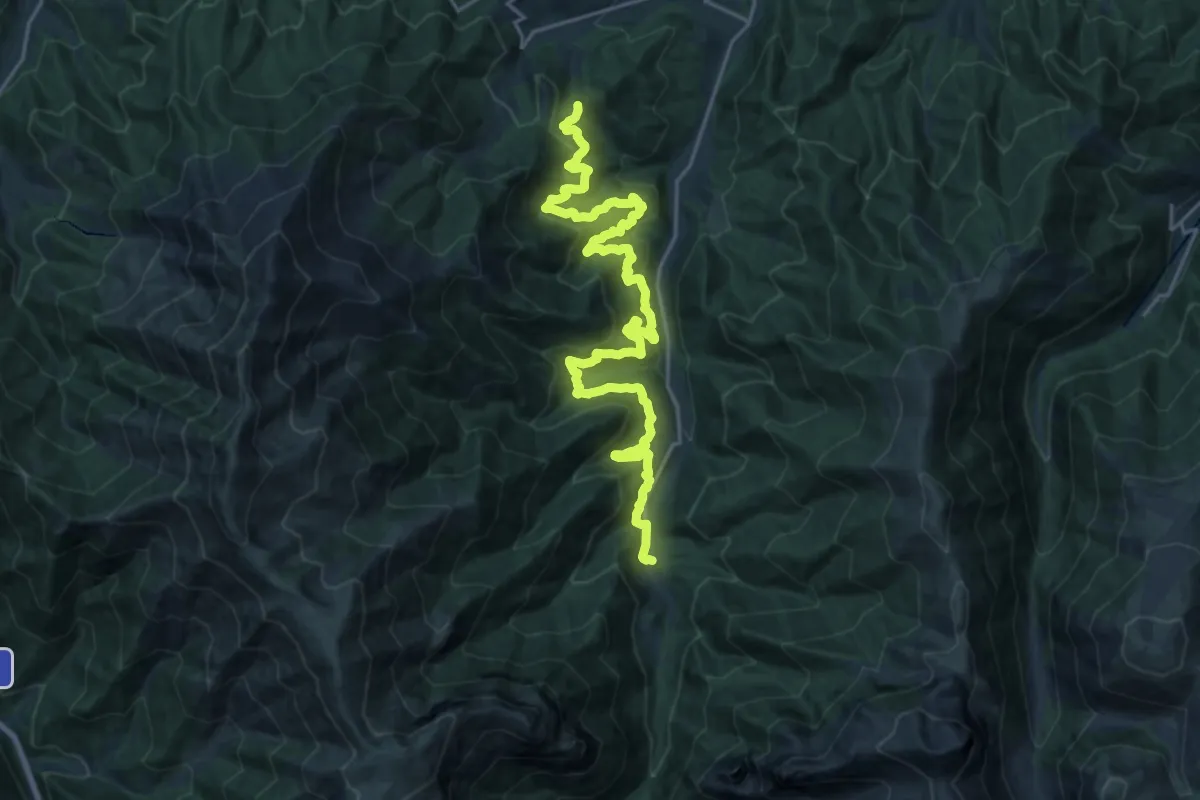
Medium · Trail
Chiusa Pesio, certosa di Pesio, bivio CNAH20, CNAH24 – Chiusa Pesio, Tetti Pilon
12.7 km · ↑ 747 m · 4 h 50 min · 14 km away
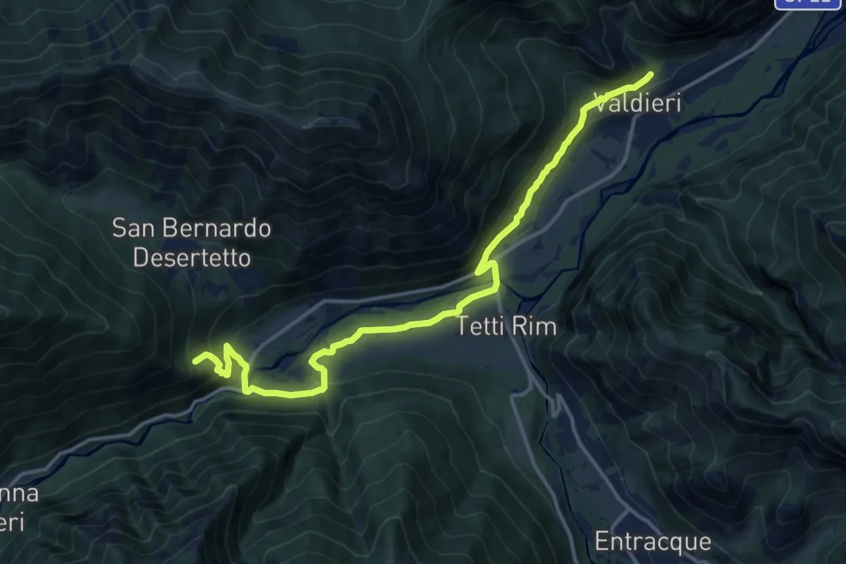
Medium · Trail
Valdieri, bivio CNAN35, CNAN36, CNAN36A – Valdieri, presso Rocca Belvedere, bivio CNAN34, CNAN35
14.4 km · ↑ 552 m · 4 h 35 min · 14 km away
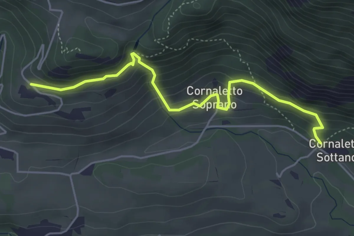
Medium · Trail
Demonte, borgata Cornaletto Sottano, bivio CNAP69, CNAP02B – Demonte, borgata Saret, bivio CNAP02, CNAP02B
4.8 km · ↑ 369 m · 1 h 56 min · 14 km away
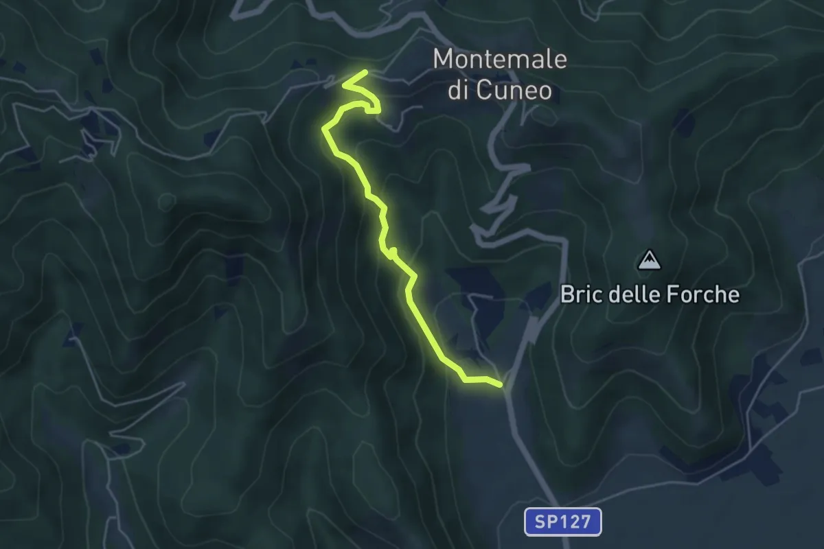
Easy · Trail
San Giorgio – Case Bersani
4.4 km · ↑ 287 m · 1 h 39 min · 14 km away
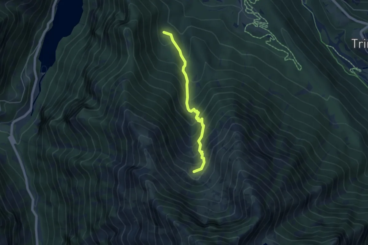
Medium · Trail
Bivio M22-M22A – Conca sotto Punta Colletto
4.2 km · ↑ 466 m · 2 h · 14 km away
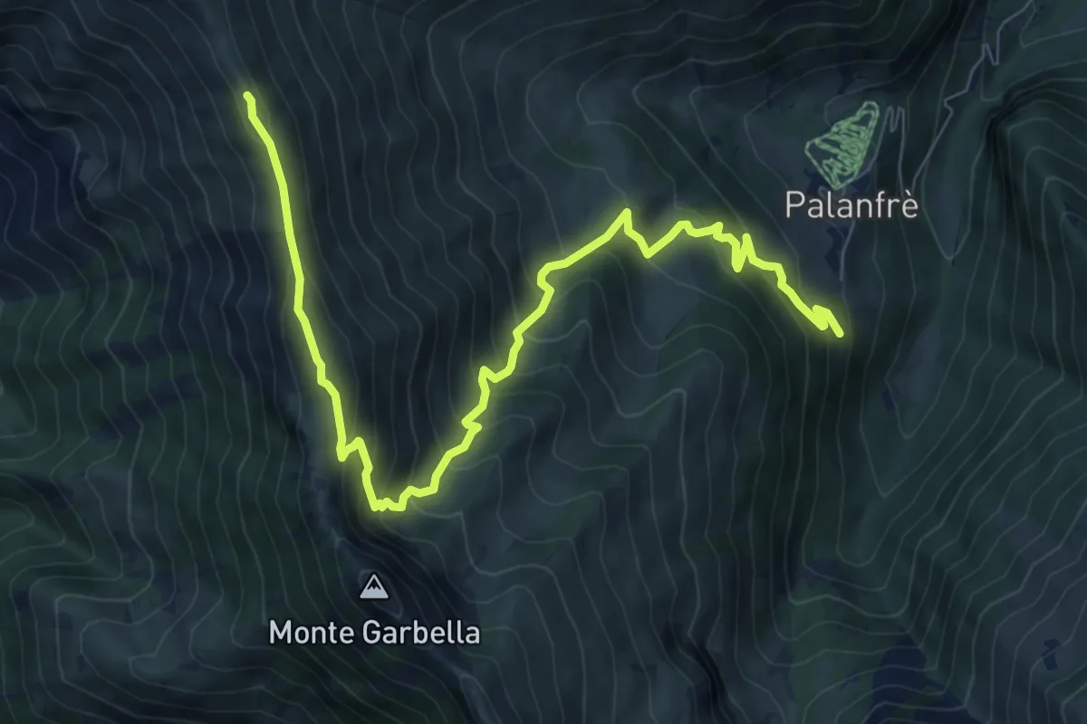
Demanding · Trail
Palanfrè – Colle della Garbella
10.4 km · ↑ 852 m · 4 h 18 min · 14 km away
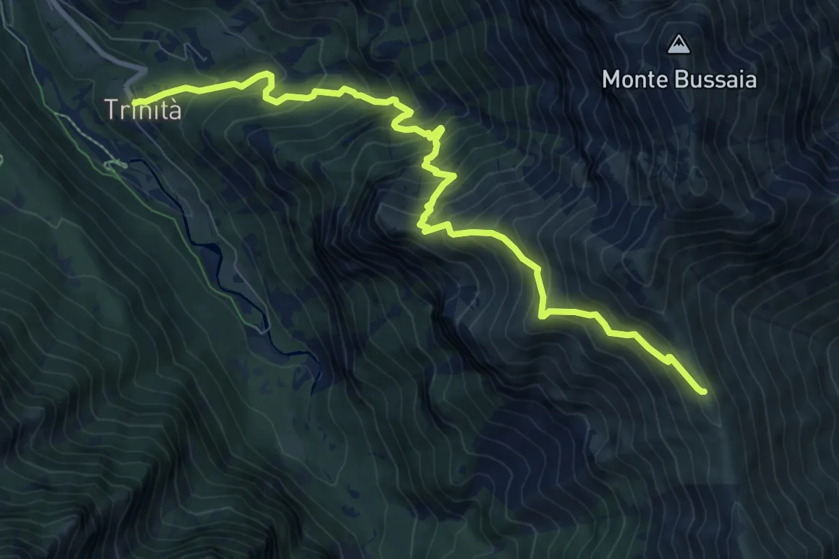
Demanding · Cabin
Trinità di Entracque, bivio CNAM04-CNAM22 – Colle della Garbella, bivio CNAL06-CNAM04
10.5 km · ↑ 1084 m · 4 h 50 min · 14 km away
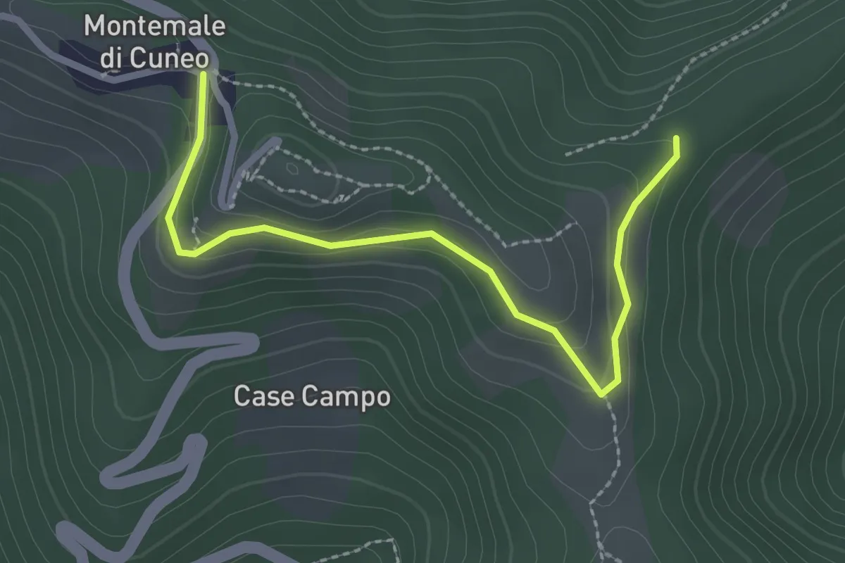
Easy · Trail
Montemale di Cuneo, presso bric delle Forche, bivio CNAR45-CNAR45B – Montemale di Cuneo, bivio CNAR36-CNAR37-CNAR45-CRAN45B
2.6 km · ↑ 94 m · 50 min · 15 km away
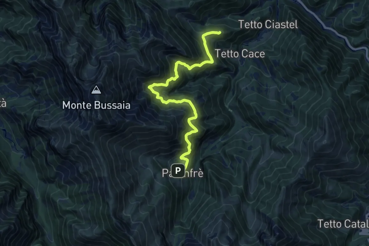
Demanding · Summit
Bivio CNAL31-CNAL26 – Bivio CNAL26-CNAL07
16.4 km · ↑ 1080 m · 6 h 12 min · 15 km away
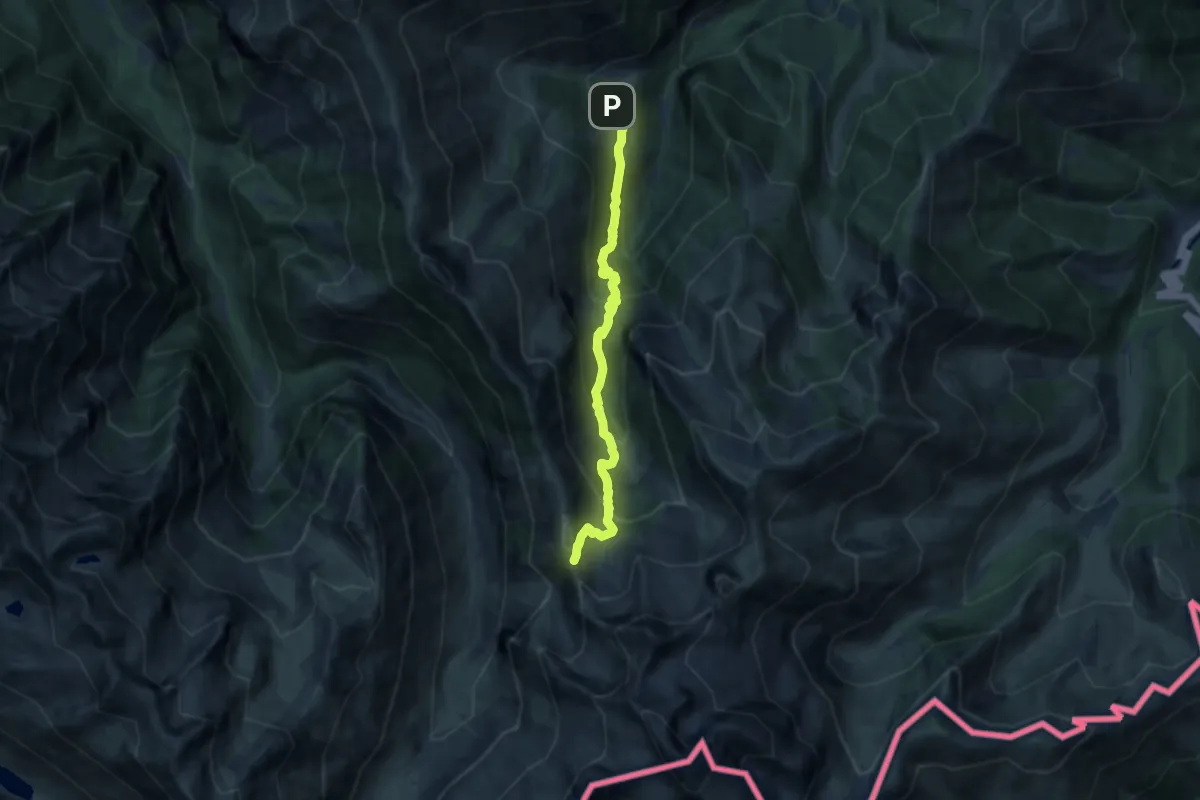
Demanding · Trail
Palanfrè – Passo della Mena
11.0 km · ↑ 912 m · 4 h 34 min · 15 km away
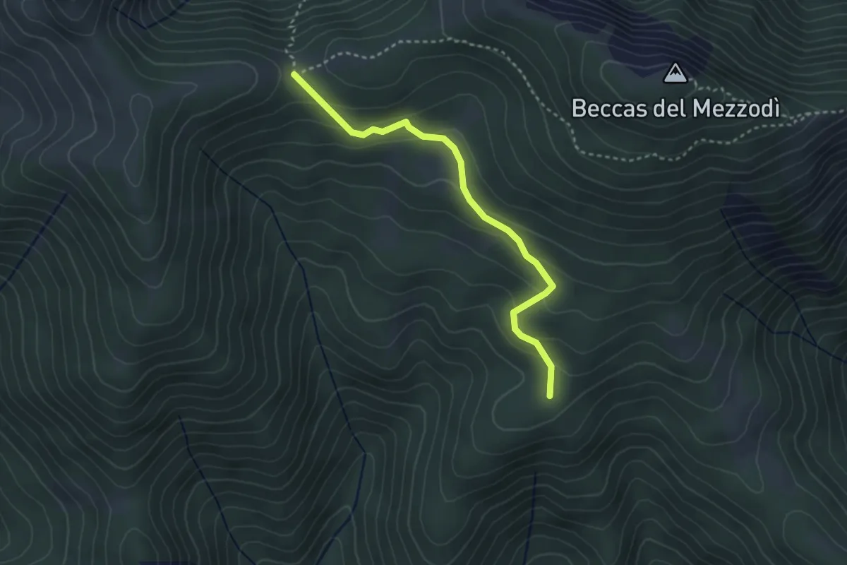
Easy · Trail
bivio CNAP02A-CNAP02 – bivio CNAP02A-CNAR26
3.3 km · ↑ 158 m · 1 h 7 min · 15 km away
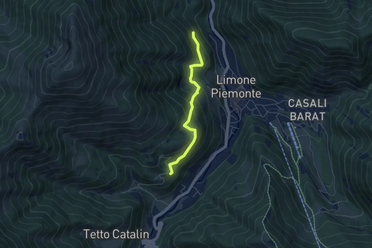
Medium · Trail
Limone Piemonte, bivio CNAL30, CNAL30A – Limone Piemonte, presso tetti Gianet, bivio CNAL09, CNAL30A
5.0 km · ↑ 380 m · 2 h 1 min · 15 km away
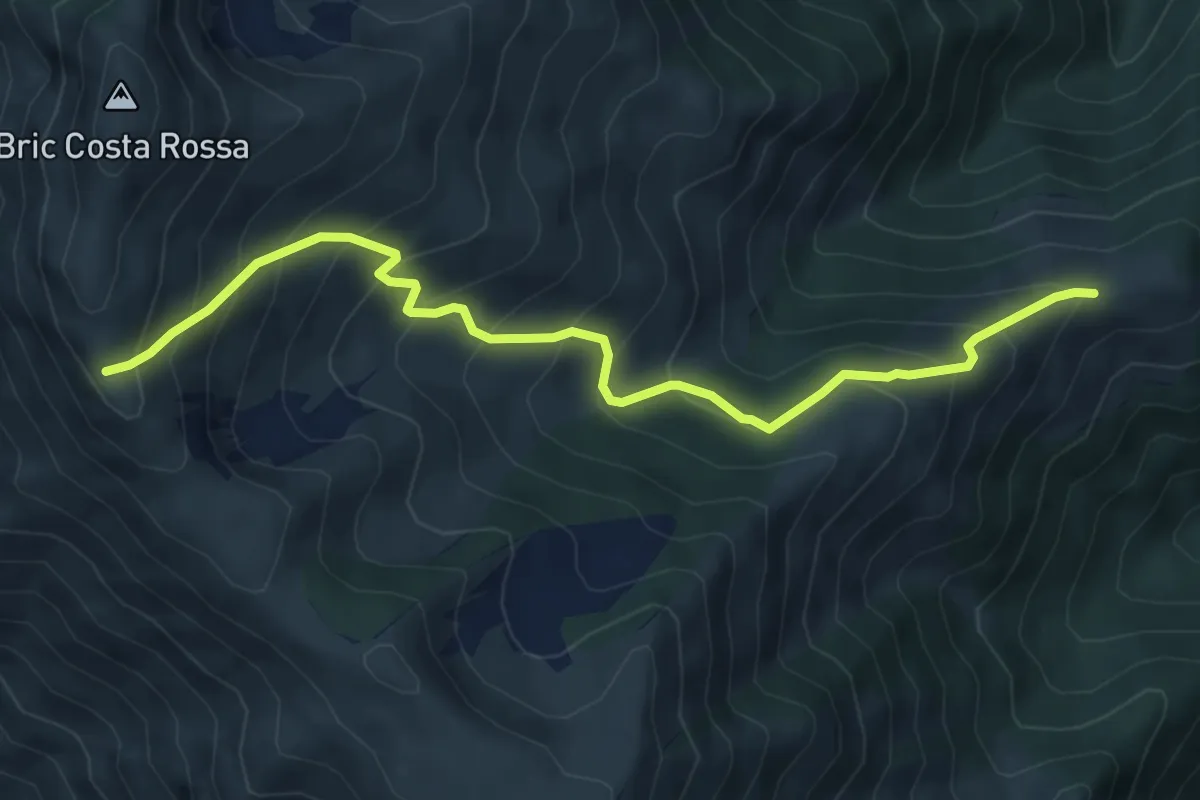
Medium · Trail
Gias Sottano Pitte – Boves, bivio CNAL21-CNAL11-CNAH14 presso Cima la Motta
6.8 km · ↑ 722 m · 3 h 10 min · 15 km away
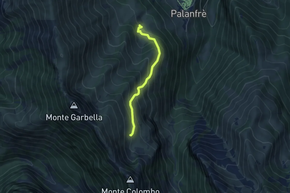
Medium · Trail
Bivio CNAL06-CNAL22 – Località Fontana, Pian Colombo
4.4 km · ↑ 399 m · 1 h 54 min · 15 km away