Trails near Borgo Val di Taro
120 hikes starting within 15 km, nearest first.
Nearest first, page 1 of 3
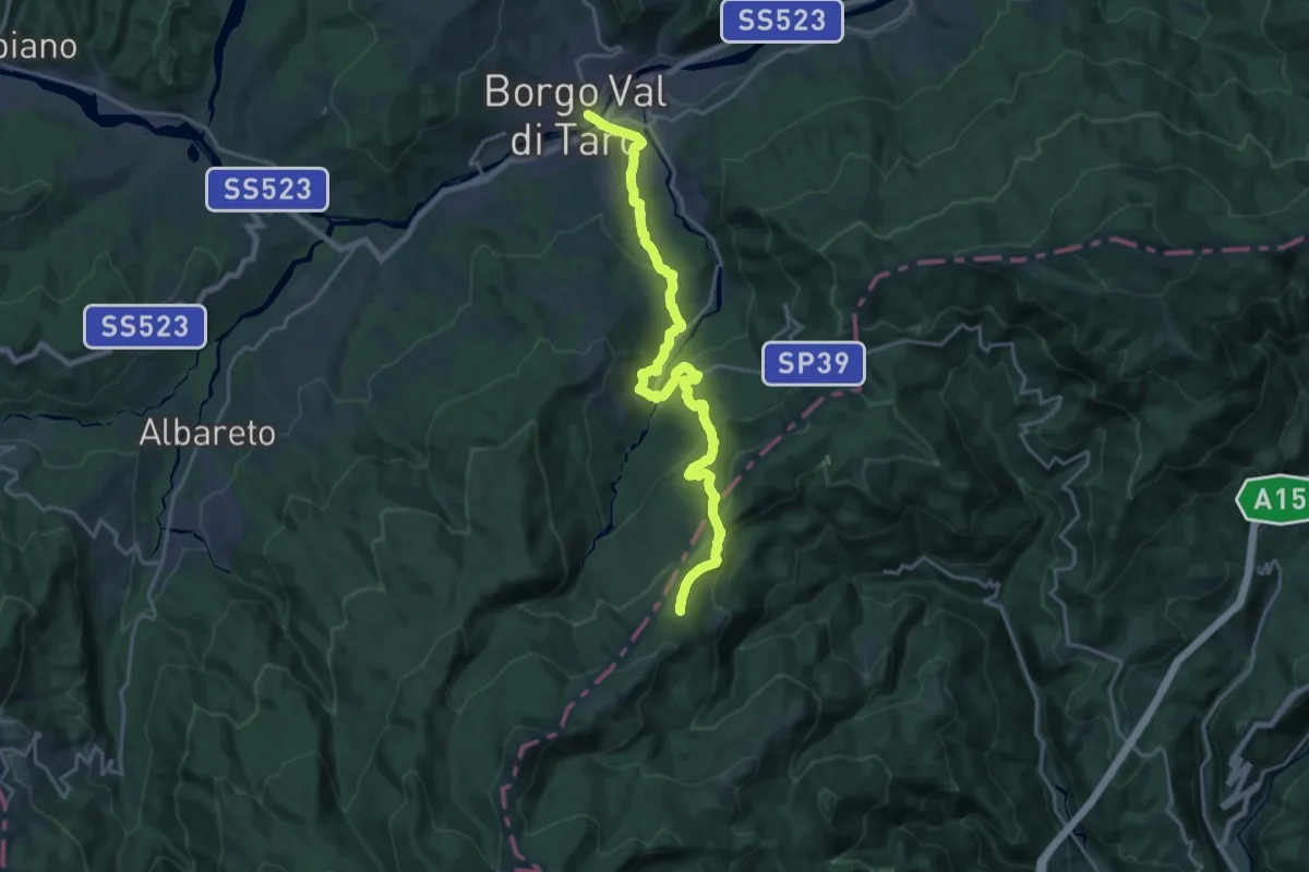
Demanding · Trail
Via degli Abati: Tappa 8
22.1 km · ↑ 999 m · 7 h 24 min · under 1 km away
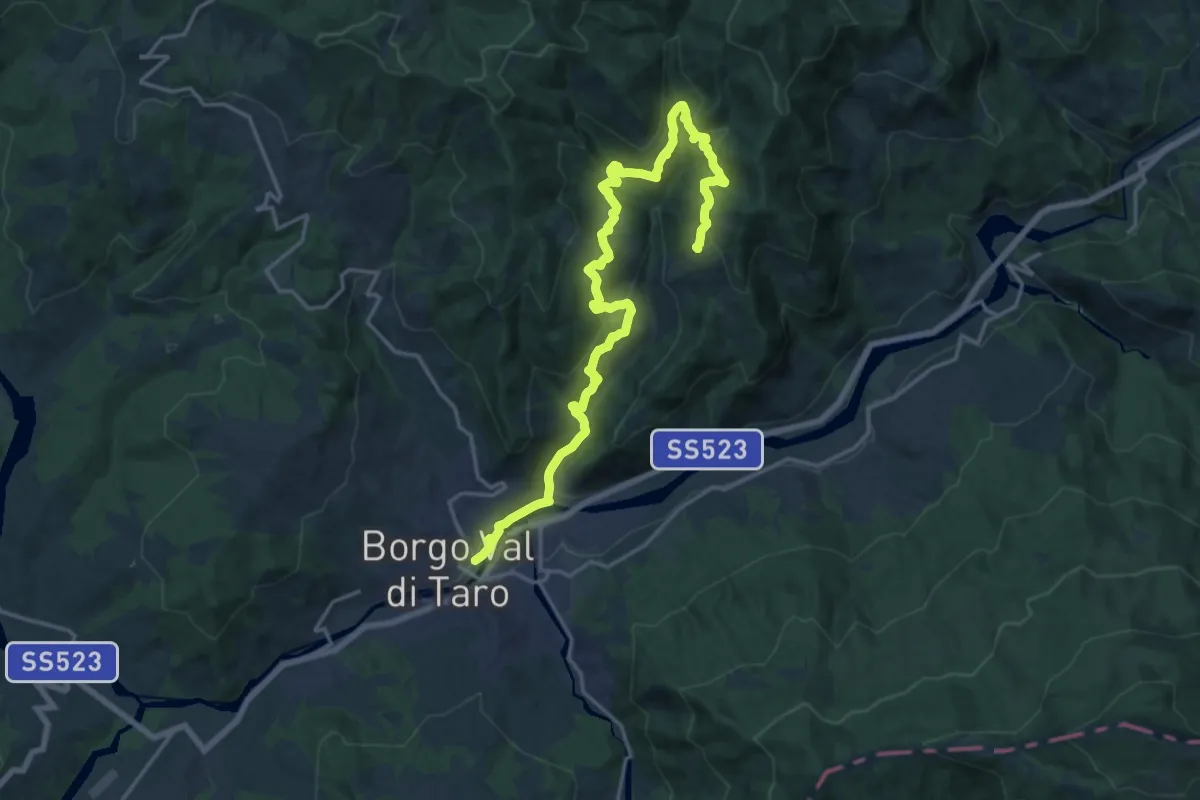
Demanding · Trail
Borgo Val di Taro - Caffaraccia Sud - Marmitta dei Giganti - San Cristoforo
21.4 km · ↑ 976 m · 7 h 9 min · under 1 km away
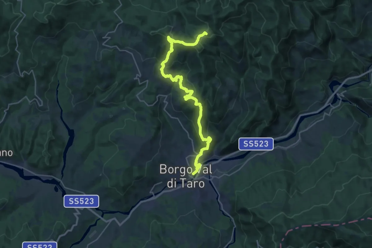
Demanding · Summit
Borgotaro – Pradetto
23.6 km · ↑ 1278 m · 8 h 21 min · under 1 km away
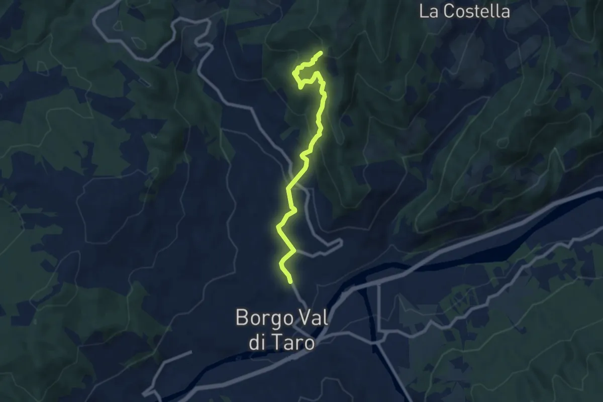
Medium · Trail
Borgotaro (La madonnina) – Le Merelle (Percorso 834)
7.3 km · ↑ 502 m · 2 h 49 min · 1 km away
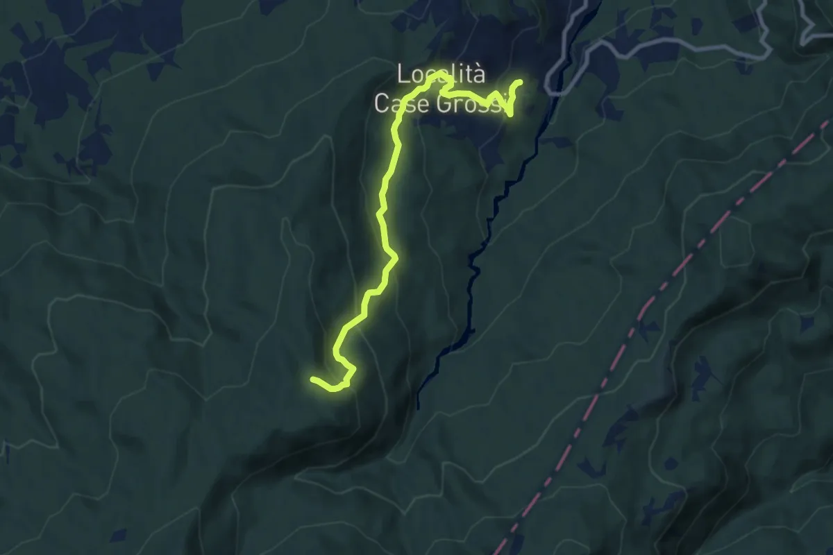
Medium · Trail
San Vincenzo - Rovinaglia - Capanne dei Martelletti - Madonnina del Moro
9.0 km · ↑ 507 m · 3 h 14 min · 4 km away
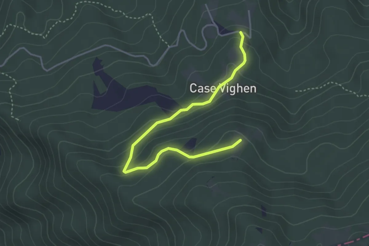
Easy · Summit
Case Carlinetti – Monte Croce di Ferro di sotto (Percorso 00)
4.1 km · ↑ 178 m · 1 h 21 min · 4 km away
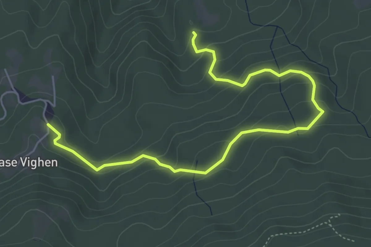
Medium · Trail
Case Vighen – Pian del Lago (Percorso 833)
6.1 km · ↑ 333 m · 2 h 10 min · 4 km away
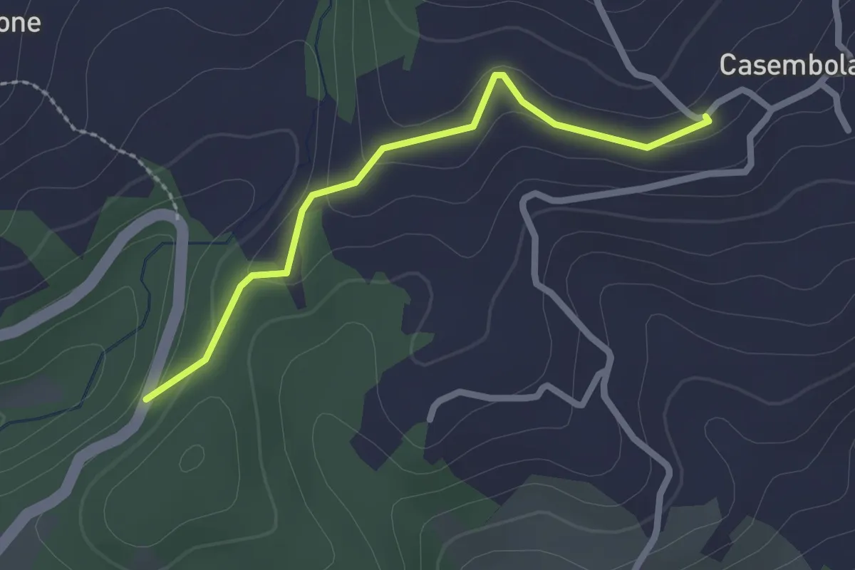
Easy · Trail
Porcigatone Sud (Percorso 832) – Casembola (Percorso 834)
2.2 km · ↑ 79 m · 41 min · 4 km away
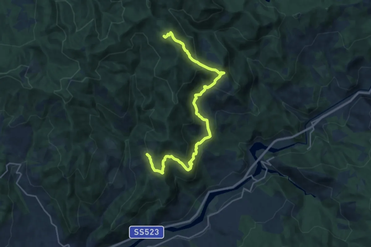
Demanding · Summit
Valesi – Pradonico
17.7 km · ↑ 862 m · 6 h 3 min · 5 km away
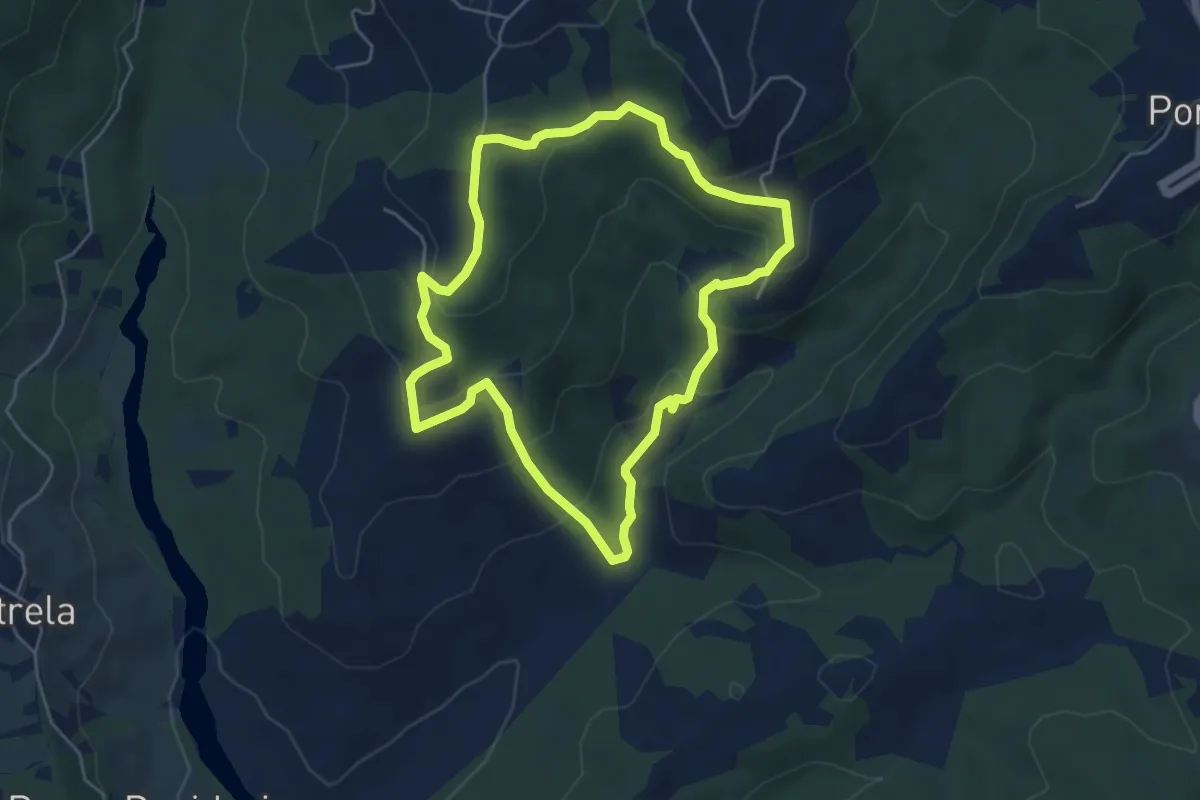
Easy · Trail
Percorso Arancione
4.8 km · ↑ 231 m · 1 h 42 min · 5 km away
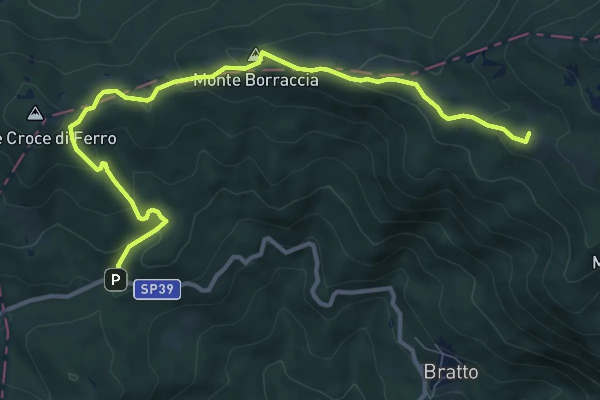
Medium · Summit
Grande Escursione Appenninica - Tappa 24
8.7 km · ↑ 413 m · 2 h 57 min · 6 km away
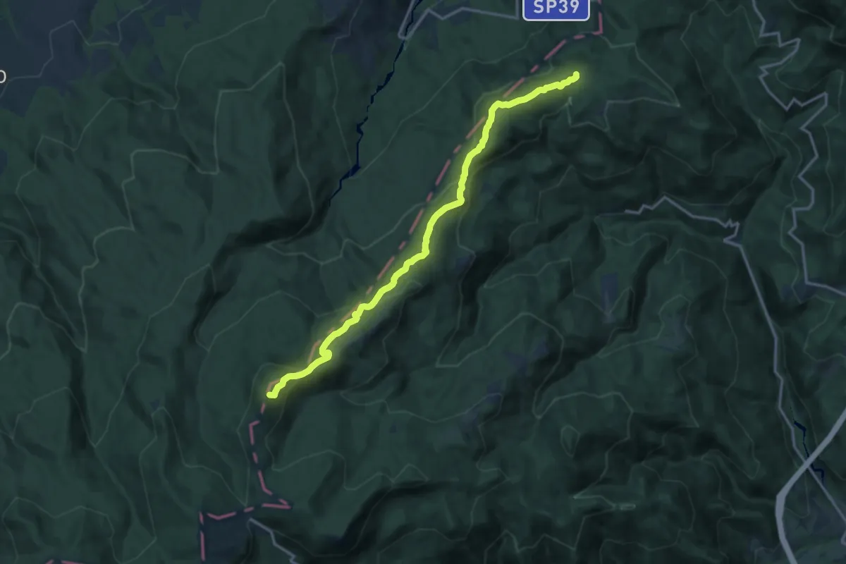
Medium · Summit
Grande Escursione Appenninica - Tappa 25
14.9 km · ↑ 659 m · 4 h 57 min · 6 km away
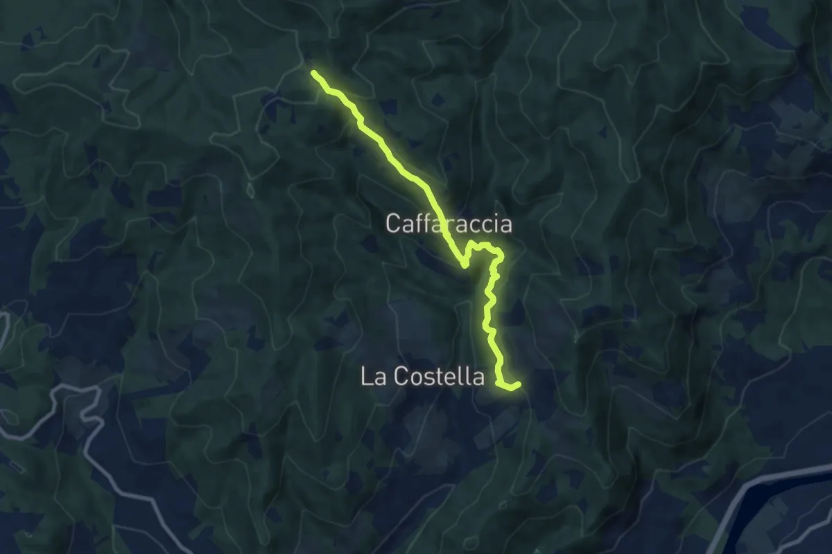
Medium · Trail
San Pietro (Chiesa) – Pradetto Est
8.6 km · ↑ 615 m · 3 h 22 min · 6 km away
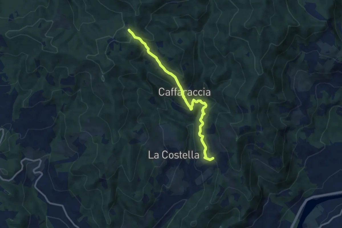
Medium · Trail
Via Abati Variante Caffaraccia
8.6 km · ↑ 615 m · 3 h 22 min · 6 km away
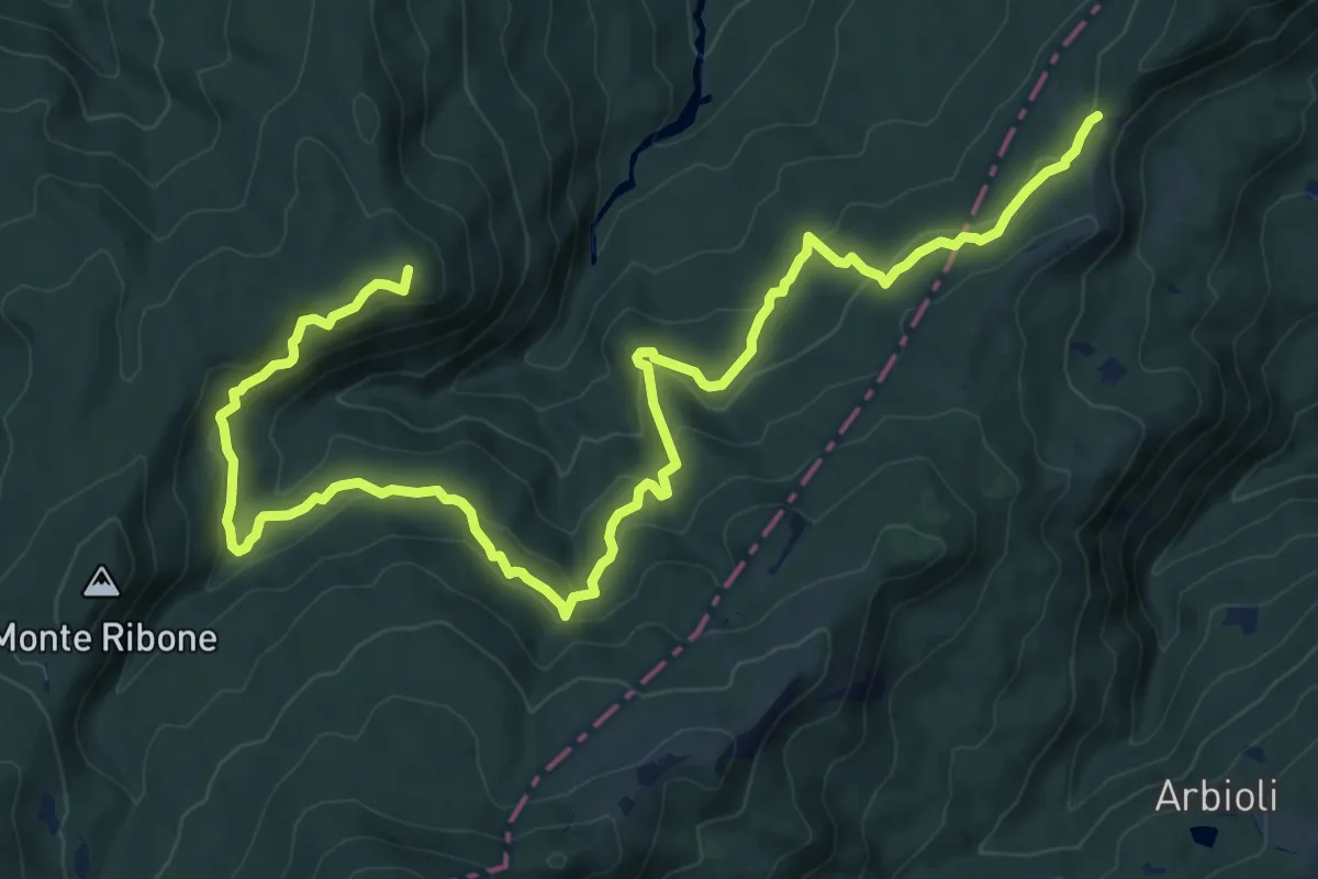
Medium · Summit
Passo del Borgallo – Capanne dei Martelletti
14.5 km · ↑ 567 m · 4 h 39 min · 6 km away
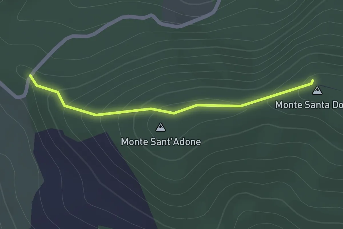
Easy · Summit
Bocca di santa Donna – La Pianella
1.5 km · ↑ 79 m · 32 min · 6 km away
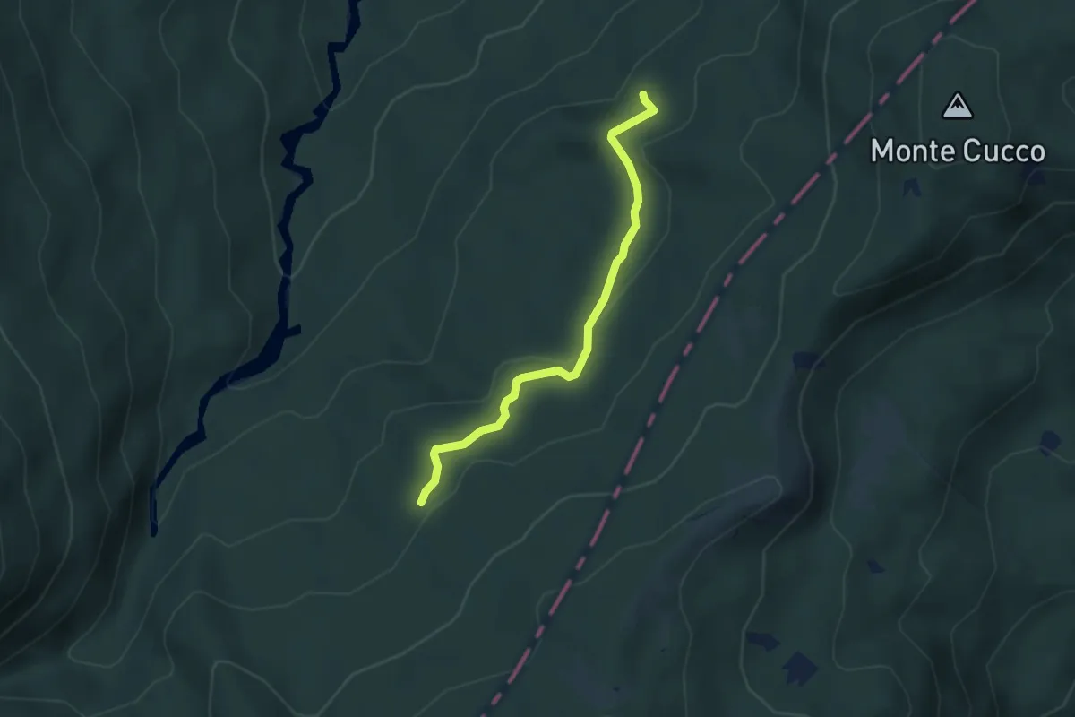
Easy · Trail
Vaccareccia - Ronco Matteo Ovest
3.5 km · ↑ 98 m · 1 h 3 min · 6 km away
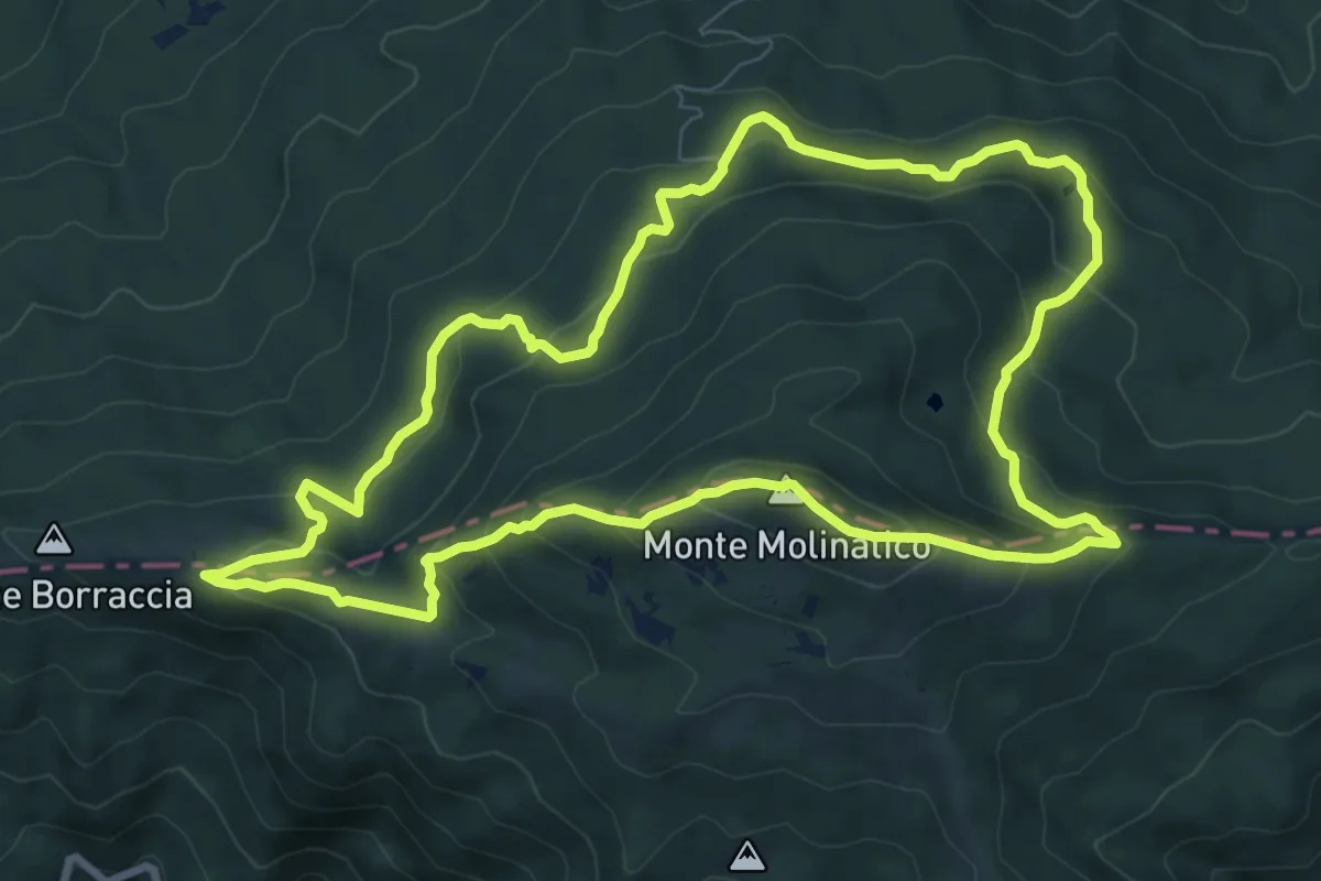
Medium · Summit
Grande Anello Del Molinatico
9.3 km · ↑ 534 m · 3 h 28 min · 7 km away
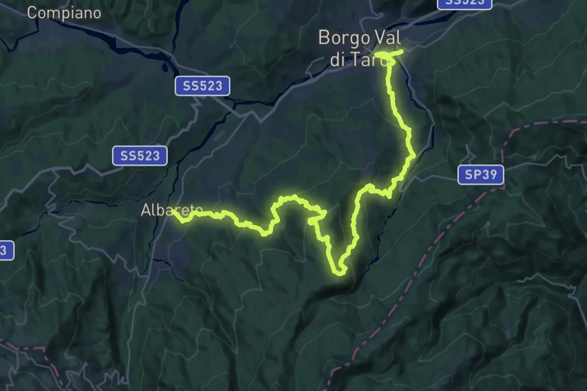
Demanding · Trail
Via dei Remi - tappa 1
19.4 km · ↑ 892 m · 6 h 50 min · 7 km away
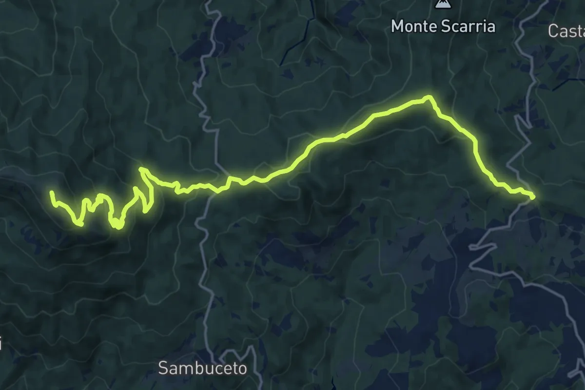
Demanding · Summit
Monte Pelpi – Passo della Tabella
21.6 km · ↑ 847 m · 6 h 57 min · 7 km away
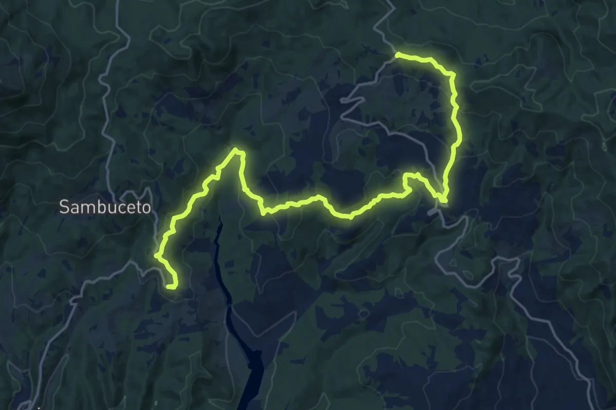
Demanding · Trail
Sentiero della Resistenza per la Memoria e la Pace
22.5 km · ↑ 826 m · 7 h 6 min · 7 km away
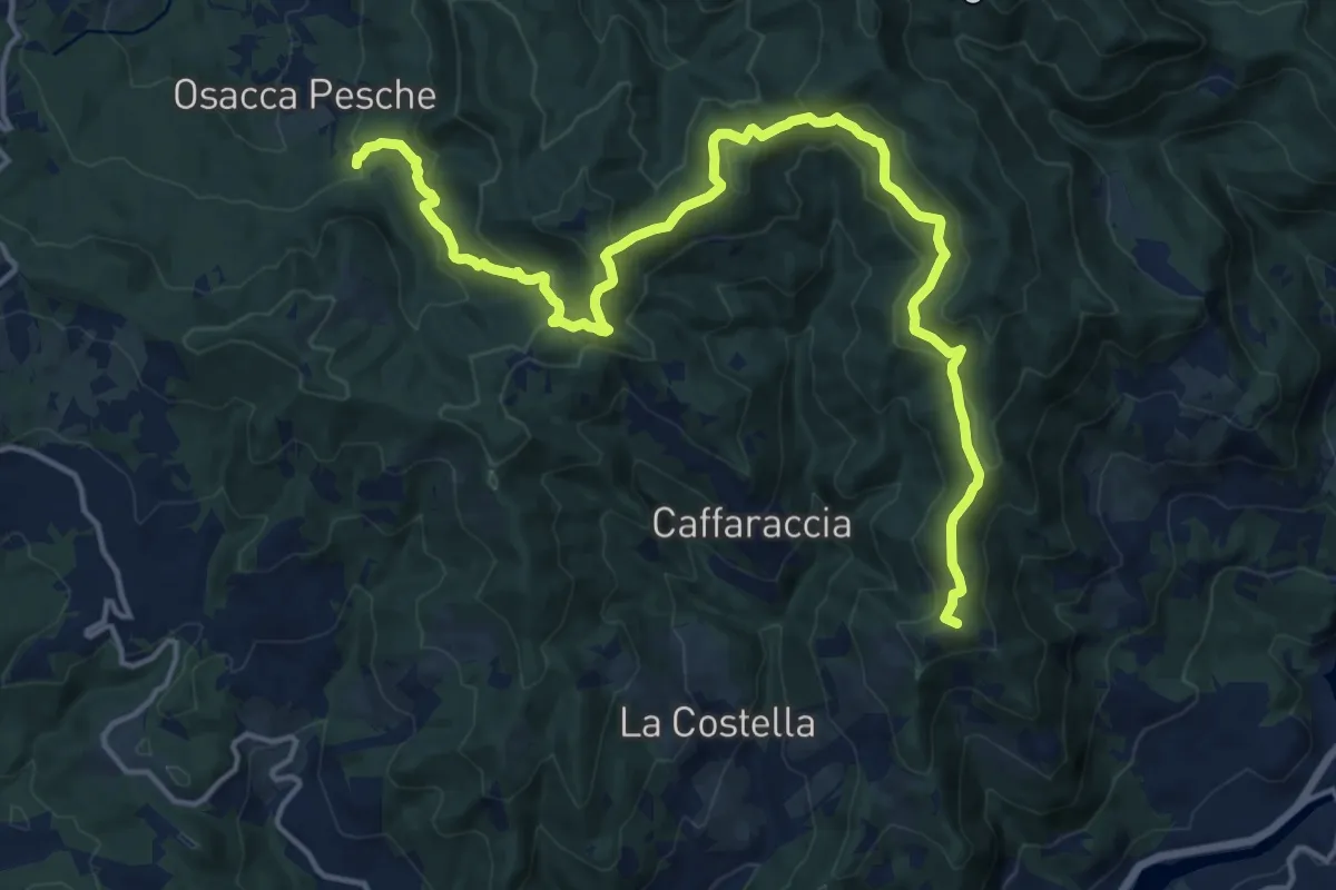
Demanding · Summit
Passo Borgallo – La Ramata
19.5 km · ↑ 748 m · 6 h 14 min · 7 km away
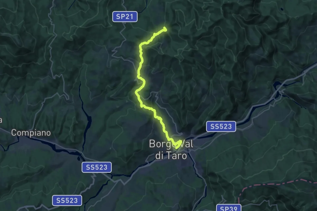
Demanding · Trail
Borgotaro – La Ramata (Percorso 843)
22.3 km · ↑ 746 m · 6 h 53 min · 7 km away
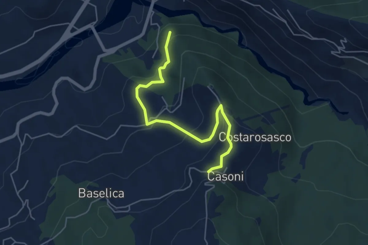
Easy · Trail
Pian della Stella - Casoni Ovest
4.7 km · ↑ 250 m · 1 h 39 min · 7 km away
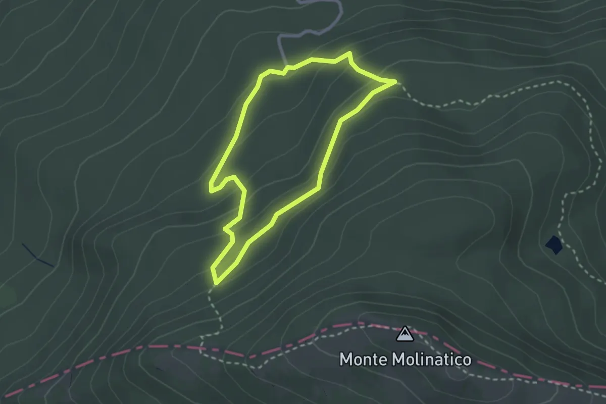
Medium · Trail
Piccolo Anello dello Chalet del Molinatico
2.3 km · ↑ 122 m · 51 min · 7 km away
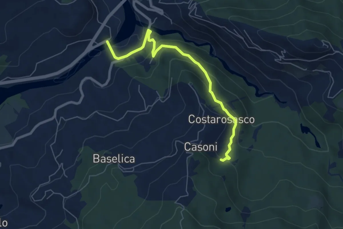
Easy · Trail
Magrano - Ostia - Pian della Stella - Casoni Est
6.0 km · ↑ 276 m · 2 h · 7 km away
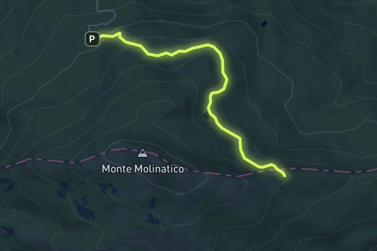
Medium · Trail
Chalet - Lago Martino - Malzapello
4.9 km · ↑ 246 m · 1 h 41 min · 7 km away
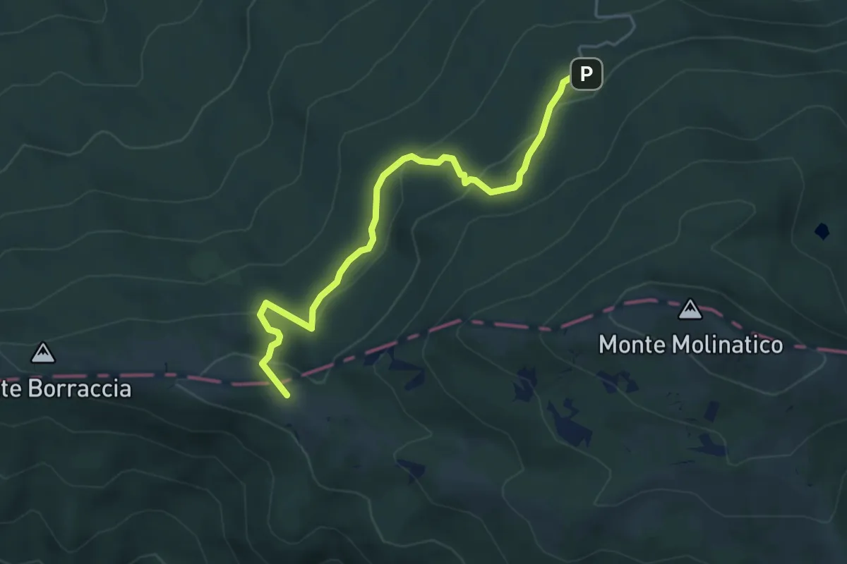
Medium · Summit
Chalet - Monte Borraccia di sotto
4.8 km · ↑ 224 m · 1 h 37 min · 7 km away
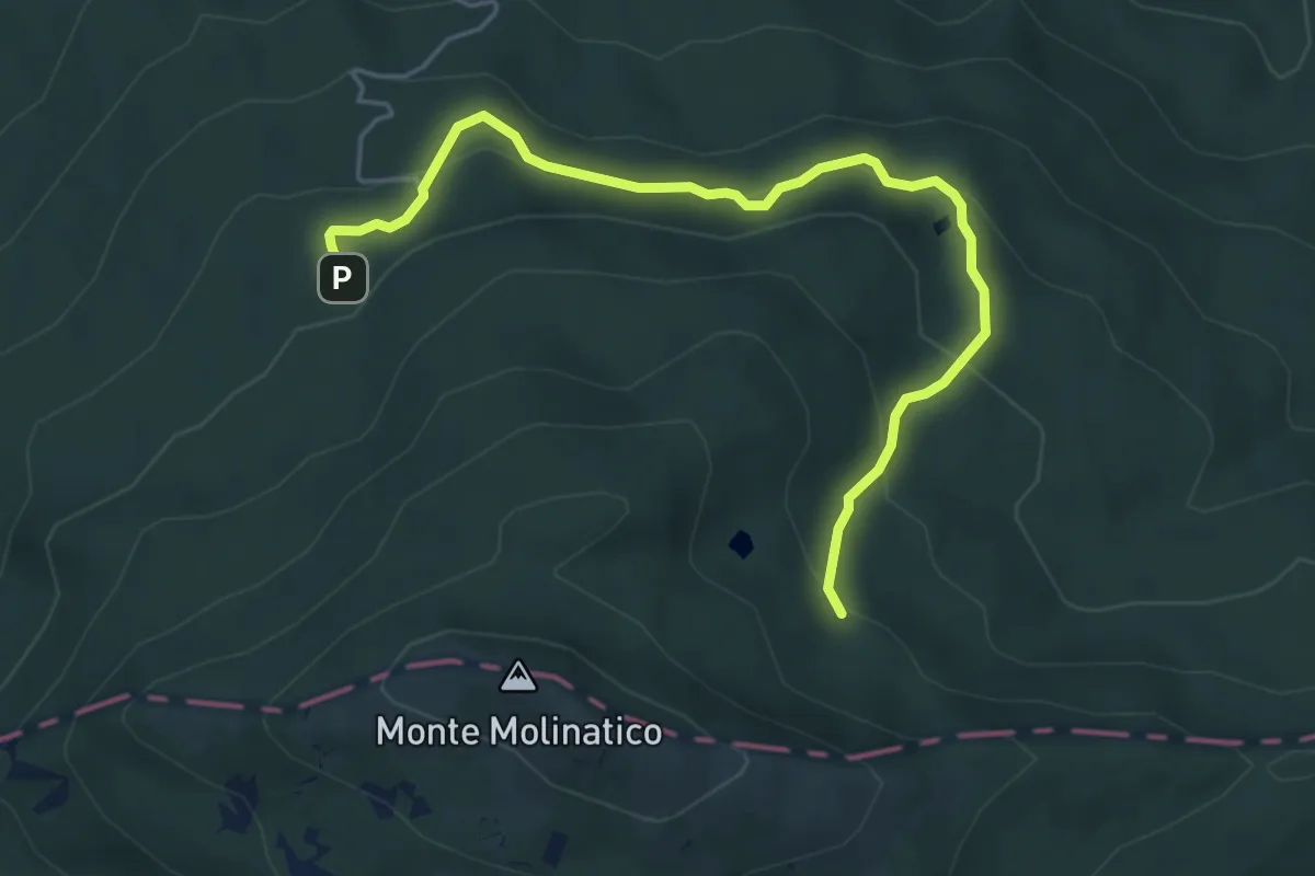
Easy · Trail
Chalet - Lago Spadene - Lago Martino di Sopra
5.5 km · ↑ 318 m · 2 h · 7 km away
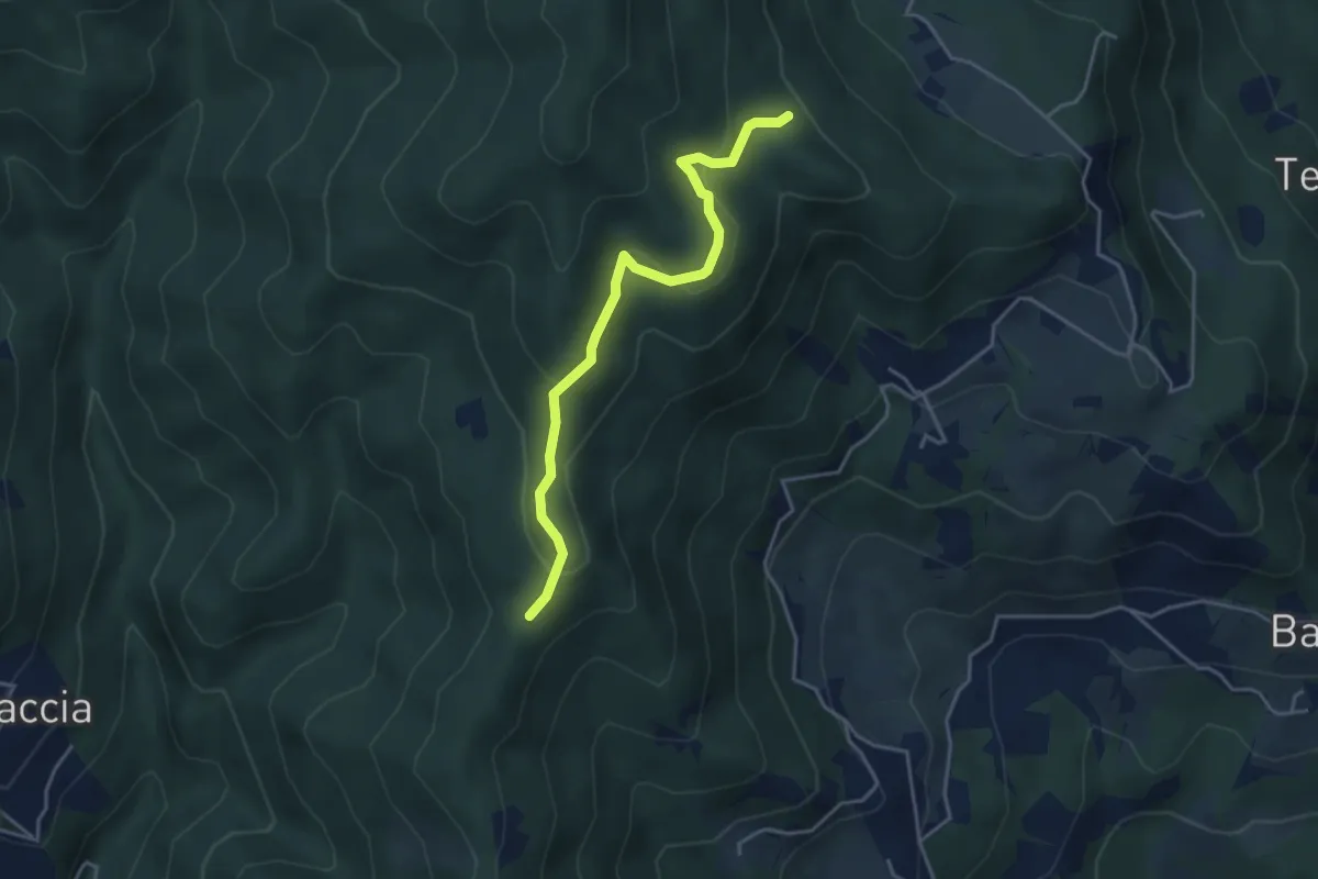
Easy · Trail
Belvedere - Pian del monte ovest
4.1 km · ↑ 156 m · 1 h 19 min · 8 km away
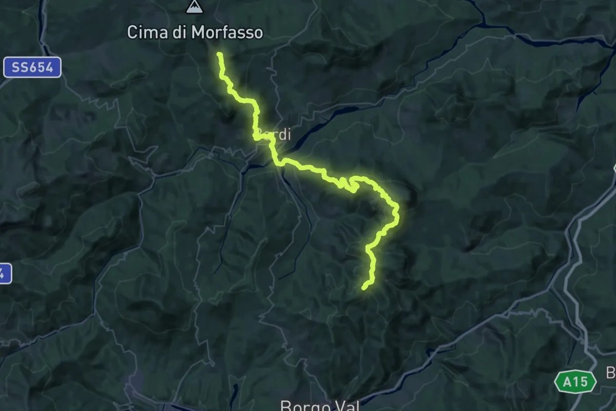
Demanding · Summit
Il Castellaccio – La Maestà
54.4 km · ↑ 2616 m · 18 h 30 min · 8 km away
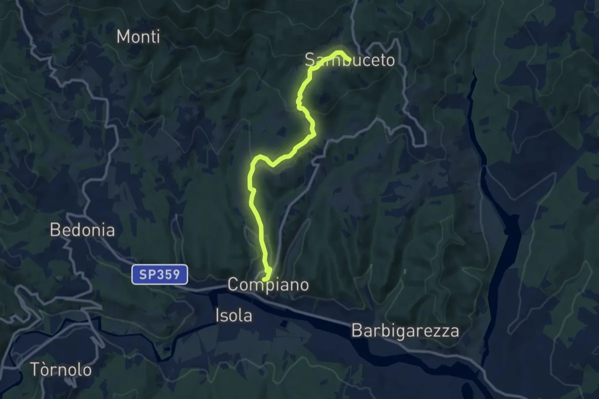
Medium · Trail
Compiano-Sambuceto
9.4 km · ↑ 370 m · 3 h 2 min · 8 km away
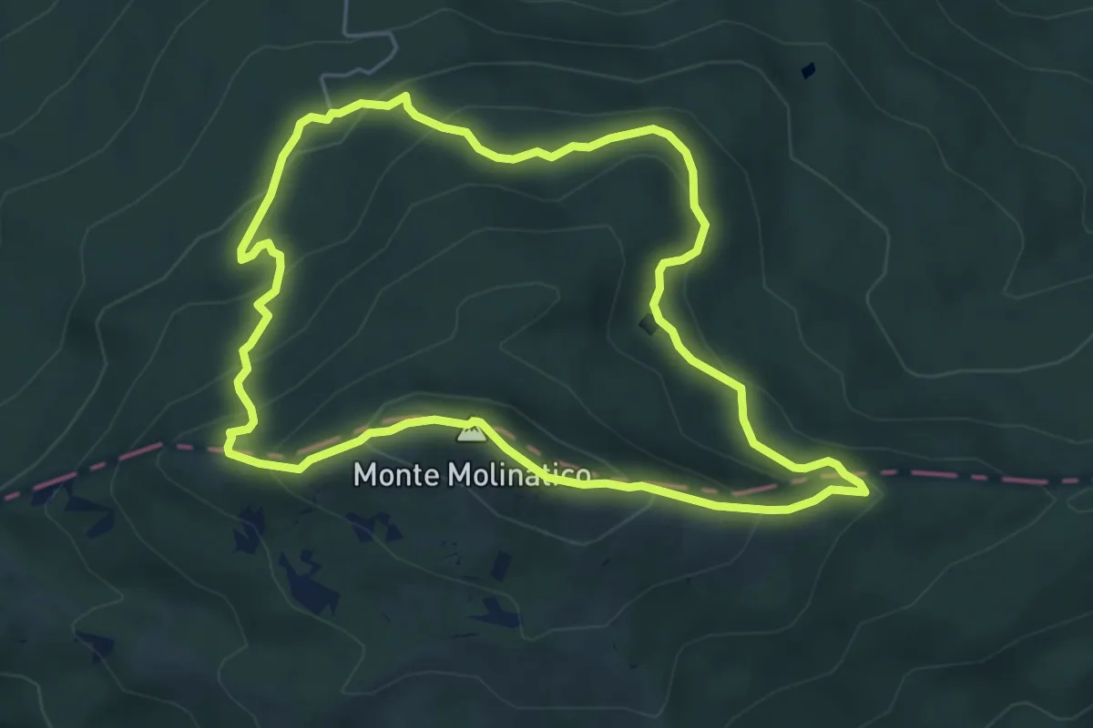
Medium · Summit
Anello del Molinatico
5.6 km · ↑ 327 m · 2 h 6 min · 8 km away
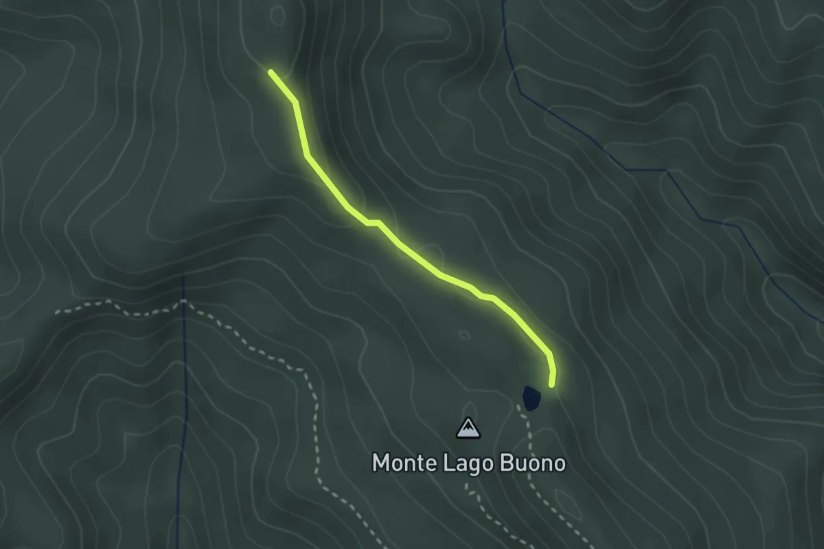
Easy · Trail
Lago Buono – Percorso 803
2.1 km · ↑ 61 m · 38 min · 9 km away
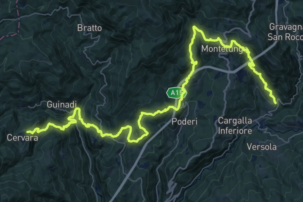
Demanding · Trail
Trekking Lunigiana 4
19.4 km · ↑ 844 m · 6 h 47 min · 9 km away
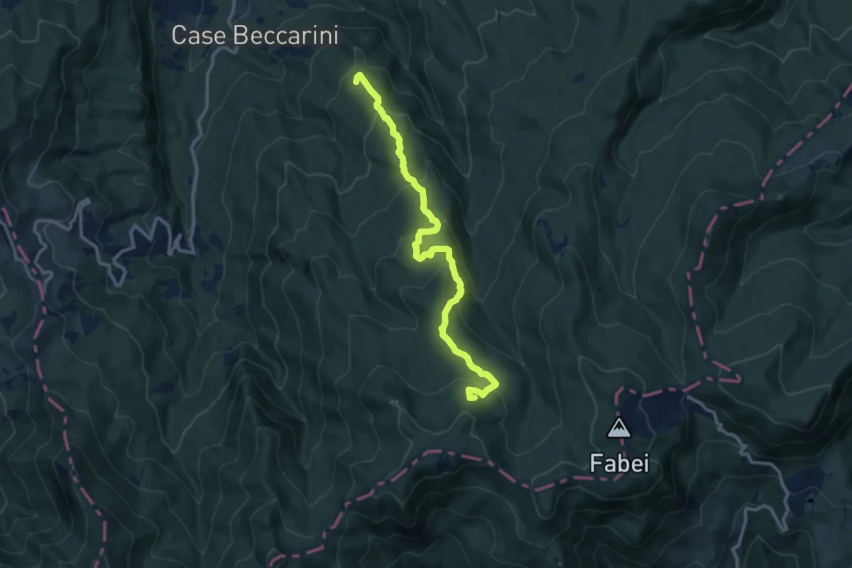
Medium · Summit
Monte Becco Mozzo-Castello Tondo-Fontana delle Piane
11.0 km · ↑ 605 m · 3 h 54 min · 9 km away
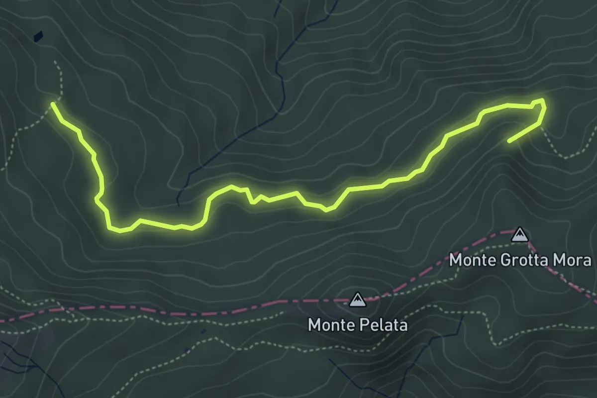
Easy · Summit
Lago Spadene di Sopra - Termine del Gatto
5.9 km · ↑ 210 m · 1 h 50 min · 9 km away
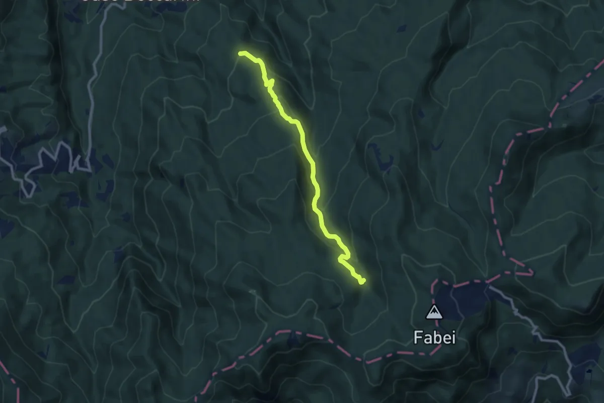
Medium · Trail
Monte Pianazzi-Torrente Lecora-Castello Tondo
8.5 km · ↑ 455 m · 3 h · 9 km away
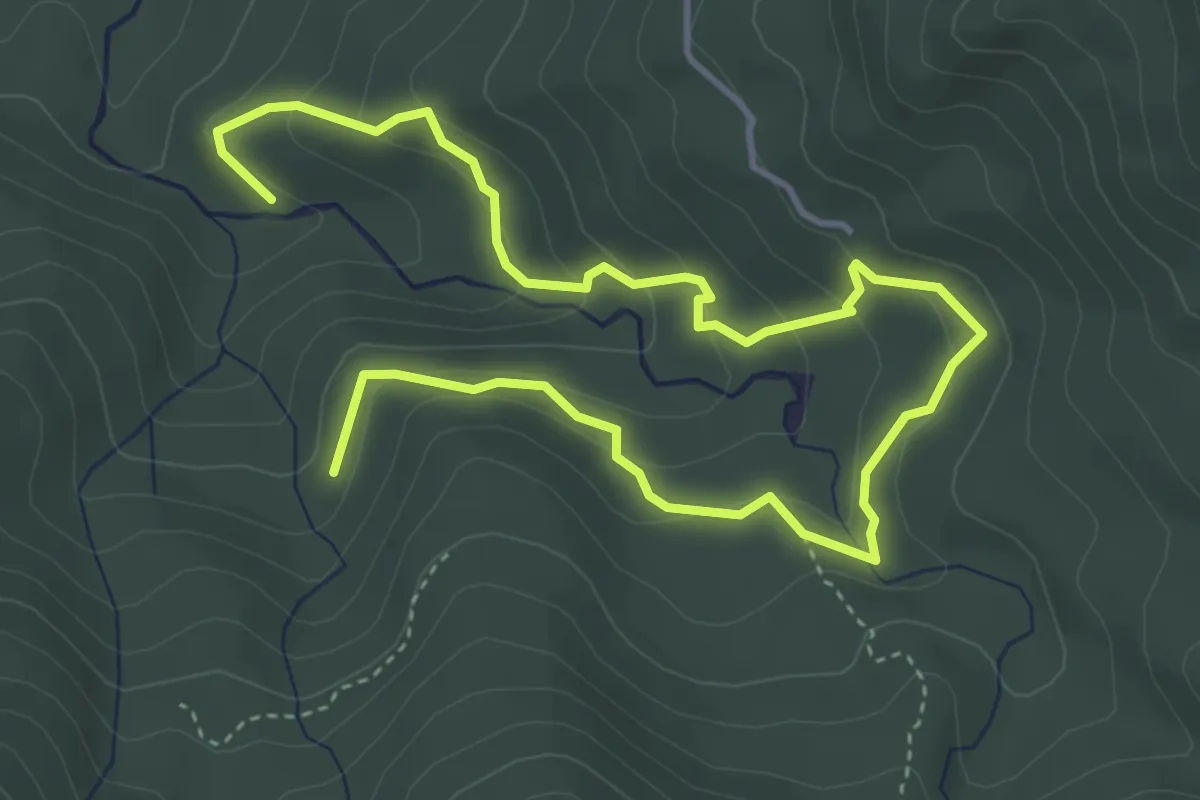
Medium · Trail
La Crosa – Rio Arole
6.4 km · ↑ 356 m · 2 h 17 min · 9 km away
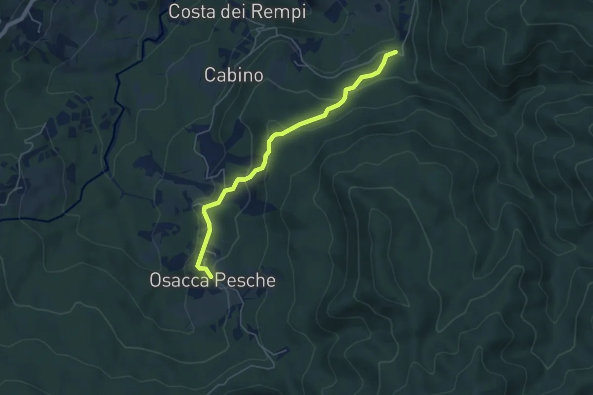
Easy · Trail
Via Abati Variante Osacca
4.8 km · ↑ 213 m · 1 h 36 min · 9 km away
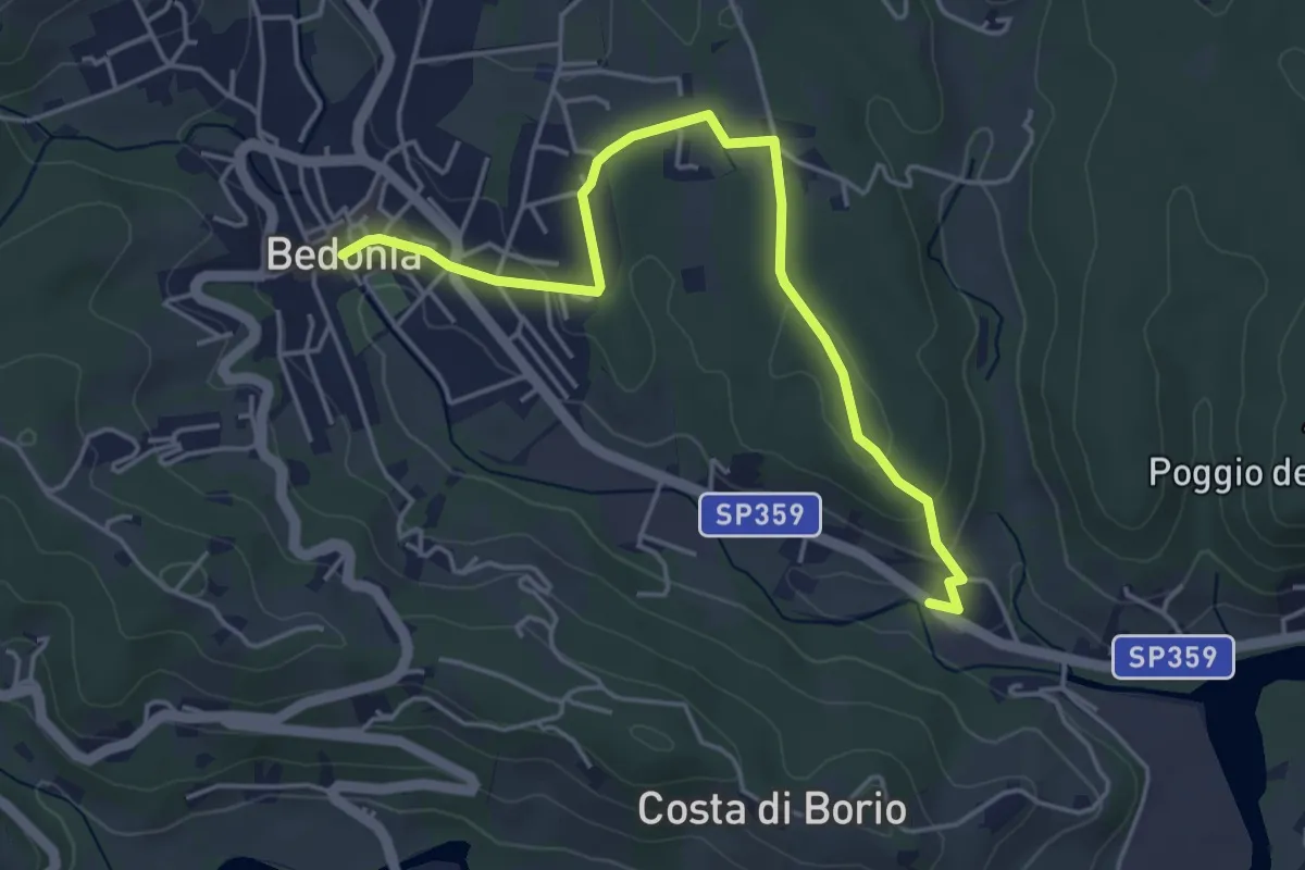
Easy · Trail
Bedonia - Forana
4.9 km · ↑ 86 m · 1 h 21 min · 10 km away
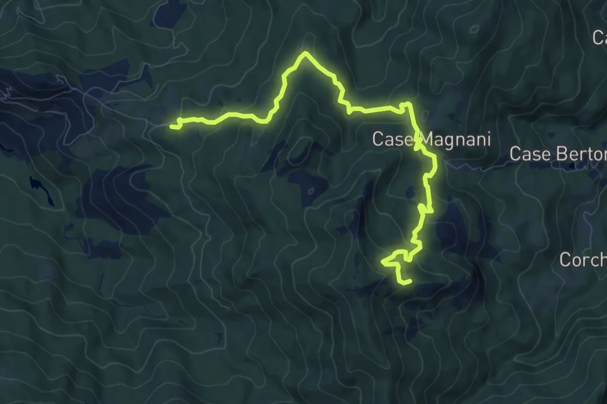
Medium · Summit
Carpaneto (percorso 833) – La Cala'
11.4 km · ↑ 588 m · 3 h 58 min · 10 km away
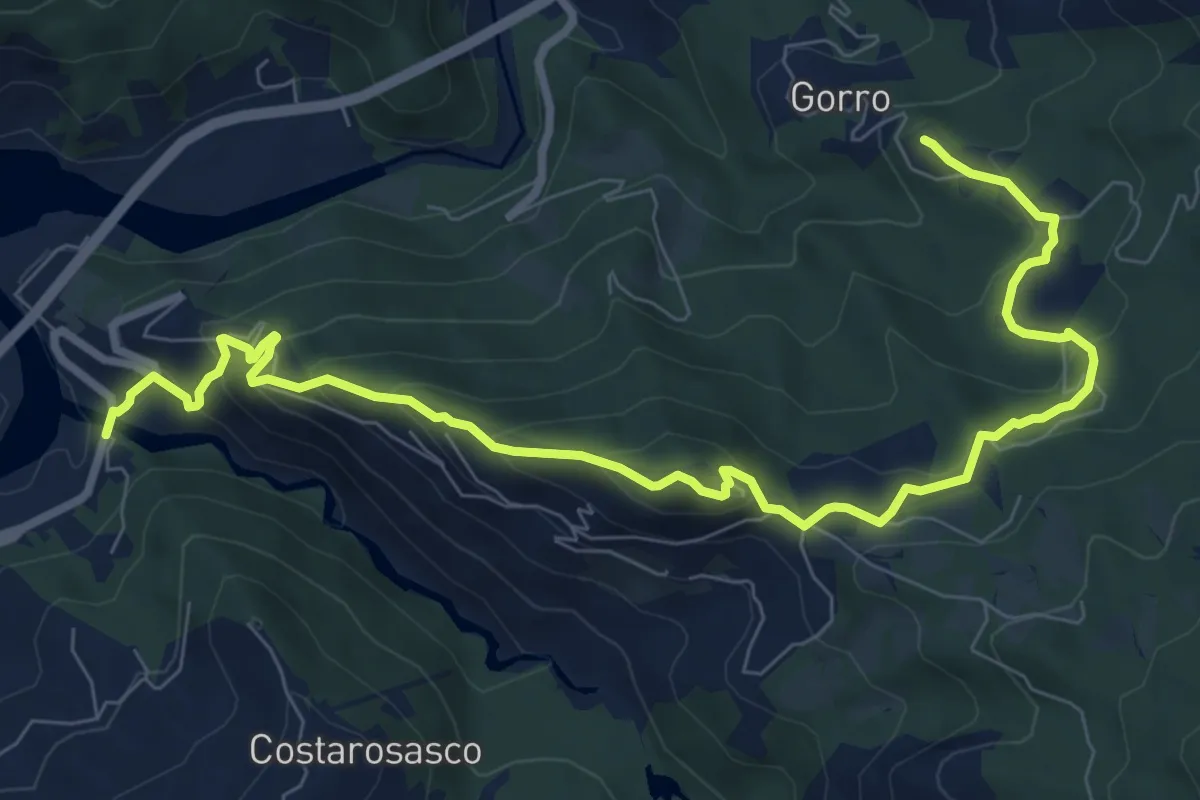
Medium · Trail
Ostia Parmense – Gorro
10.7 km · ↑ 634 m · 3 h 54 min · 10 km away
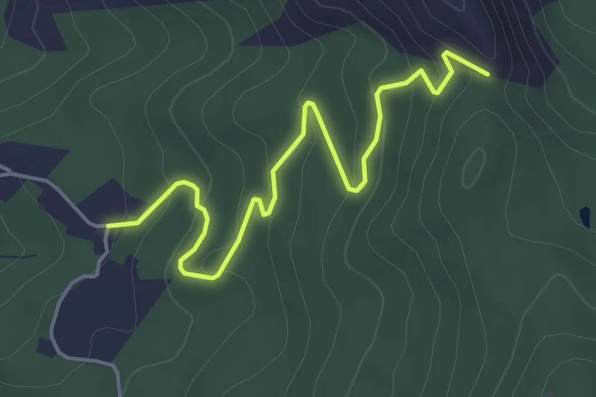
Easy · Trail
Cappellazzi (Percorso 830) – Case Farneto (Percorso 830A)
4.4 km · ↑ 202 m · 1 h 29 min · 10 km away
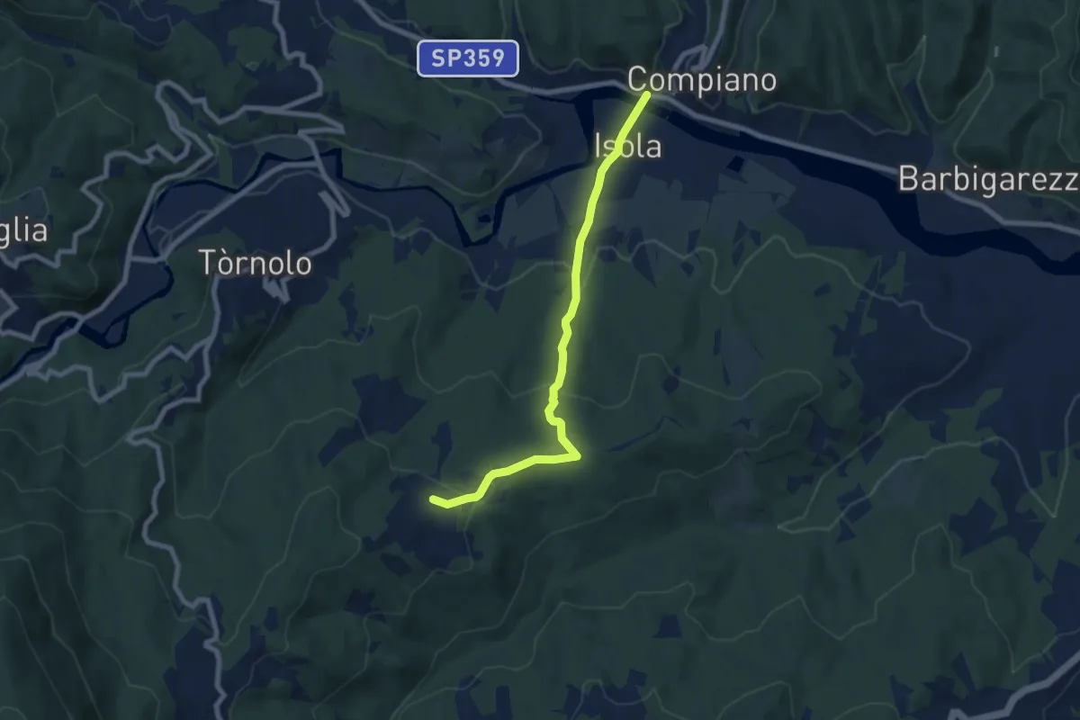
Easy · Trail
Ponte di Compiano-Marzuola
7.4 km · ↑ 255 m · 2 h 17 min · 10 km away
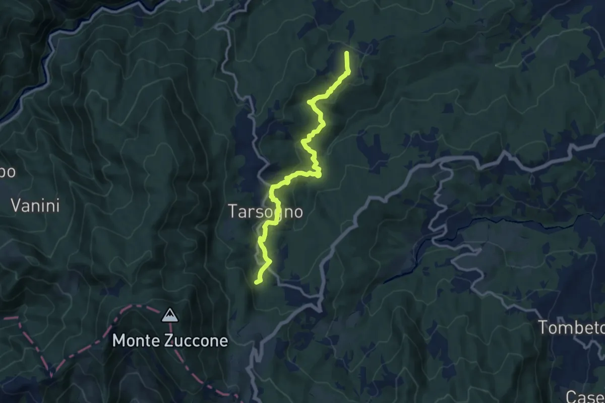
Medium · Trail
Marzuola Tarsogno (Località La Breva)
11.0 km · ↑ 459 m · 3 h 36 min · 10 km away
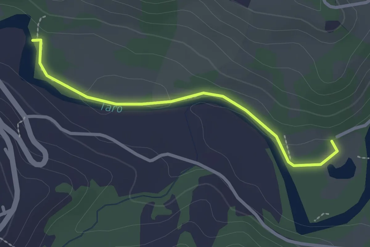
Easy · Trail
Sentiero botanico lago del Groppo - Casette in Canadà
2.3 km · ↑ 39 m · 38 min · 11 km away
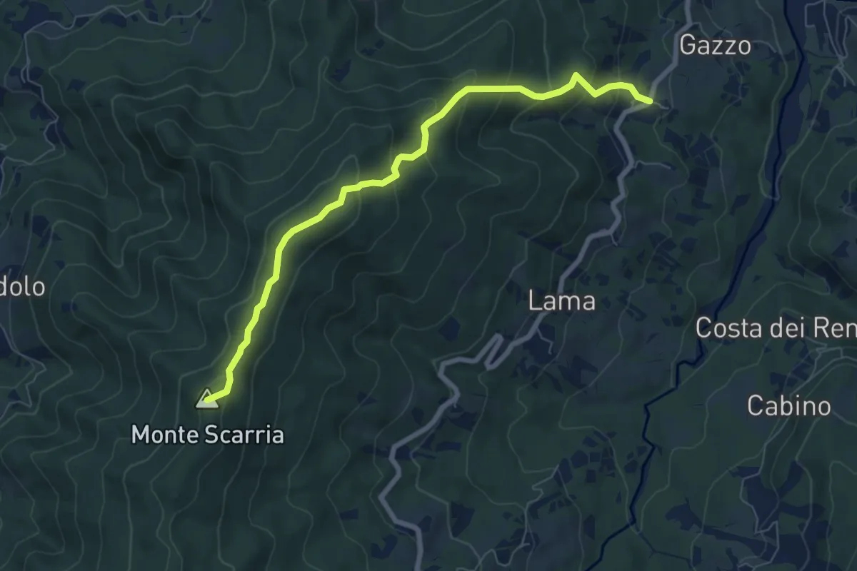
Medium · Summit
Comune Soprano - Monte Scarria - Sidolo
7.5 km · ↑ 502 m · 2 h 51 min · 11 km away