Trails near Borgo Val di Taro
120 hikes starting within 15 km, nearest first.
Nearest first, page 2 of 3
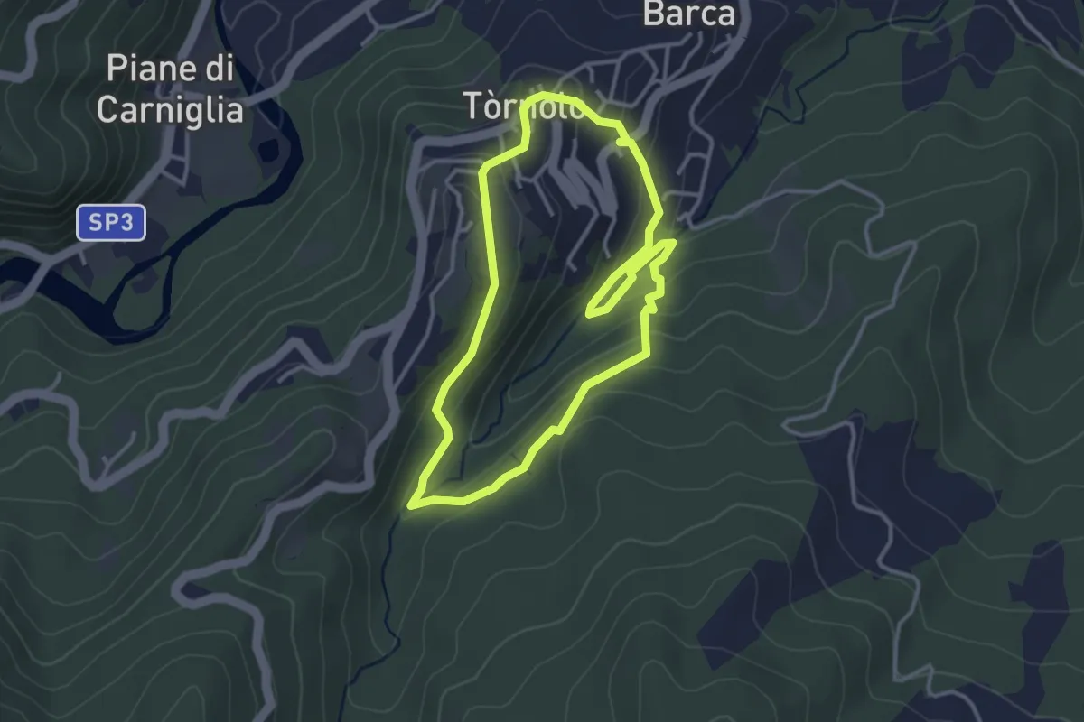
Easy · Trail
Sentiero Incantato - Tornolo
3.2 km · ↑ 162 m · 1 h 9 min · 11 km away
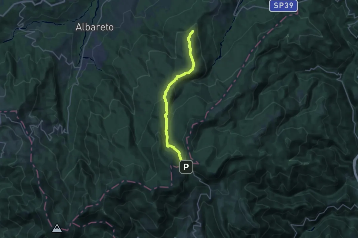
Medium · Summit
Costadasi - Madonnina del Moro - Pradeschei - Passo dei Due Santi
15.3 km · ↑ 511 m · 4 h 44 min · 11 km away
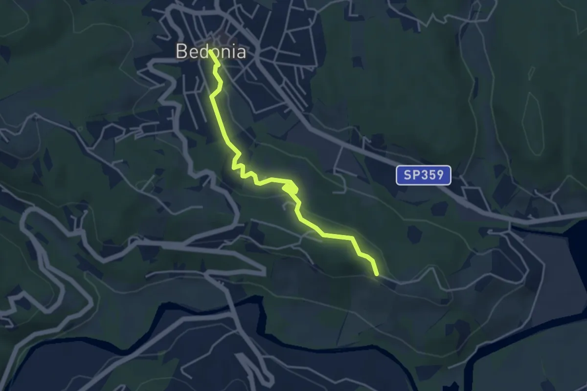
Easy · Trail
collegamento Sud Bedonia anello BE01
3.8 km · ↑ 100 m · 1 h 6 min · 11 km away
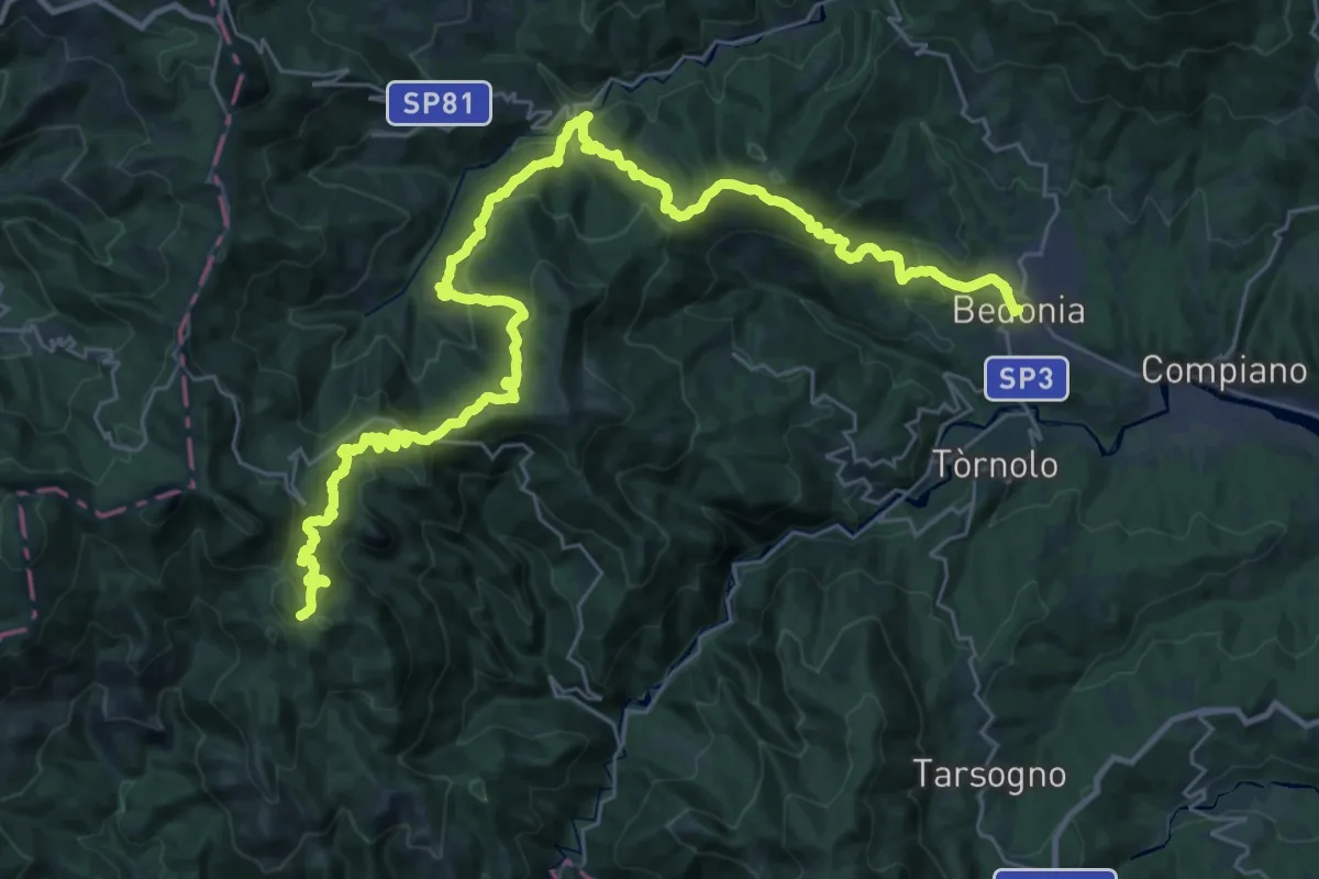
Demanding · Trail
Bedonia – Monte Crociato
21.0 km · ↑ 1432 m · 7 h 54 min · 11 km away
Easy · Trail
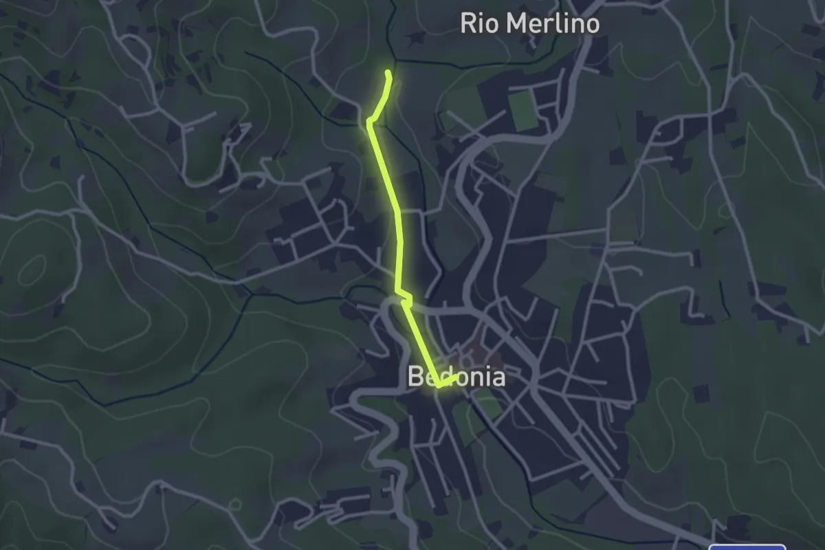
collegamento Nord Bedonia anello BE01
2.2 km · ↑ 25 m · 34 min · 11 km away
Demanding · Summit
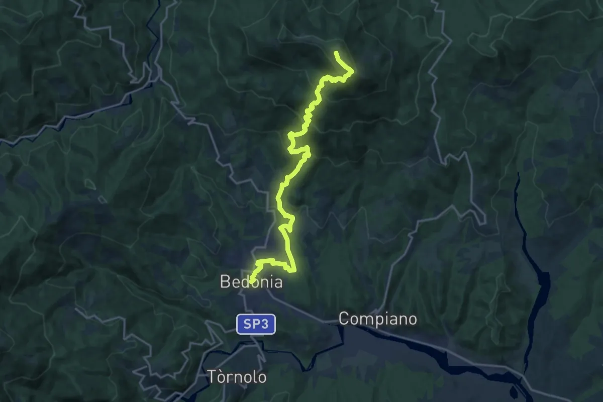
Ceio – Monte Pelpi
18.2 km · ↑ 1138 m · 6 h 46 min · 11 km away
Demanding · Summit
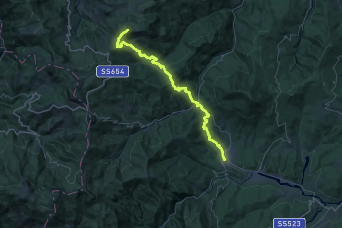
Bedonia -Monte Ragola
38.7 km · ↑ 2028 m · 13 h 32 min · 11 km away
Easy · Trail
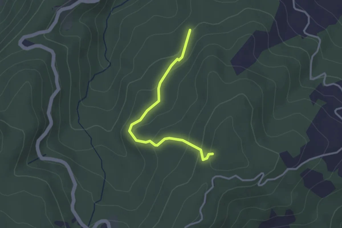
Ronchetto – Costa Marzuola
2.7 km · ↑ 149 m · 58 min · 11 km away
Easy · Summit
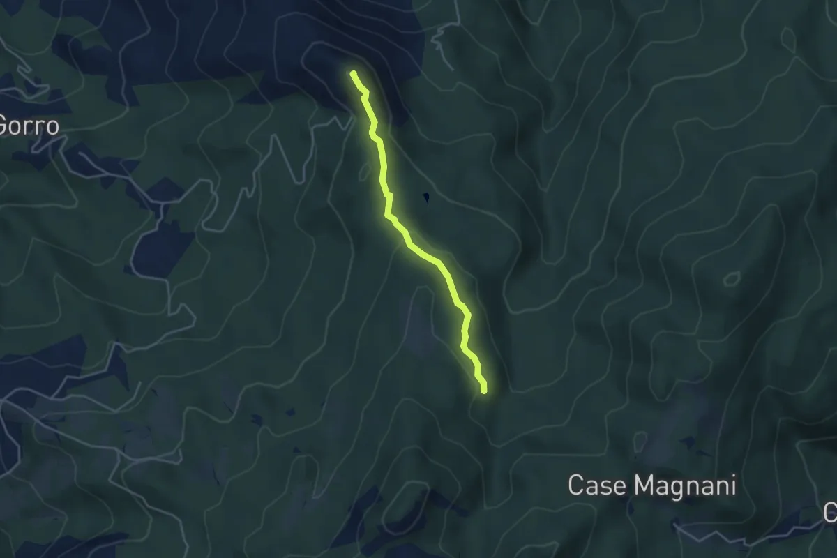
Gorro sud – Riola (Percorso 833A)
3.5 km · ↑ 135 m · 1 h 7 min · 11 km away
Easy · Trail
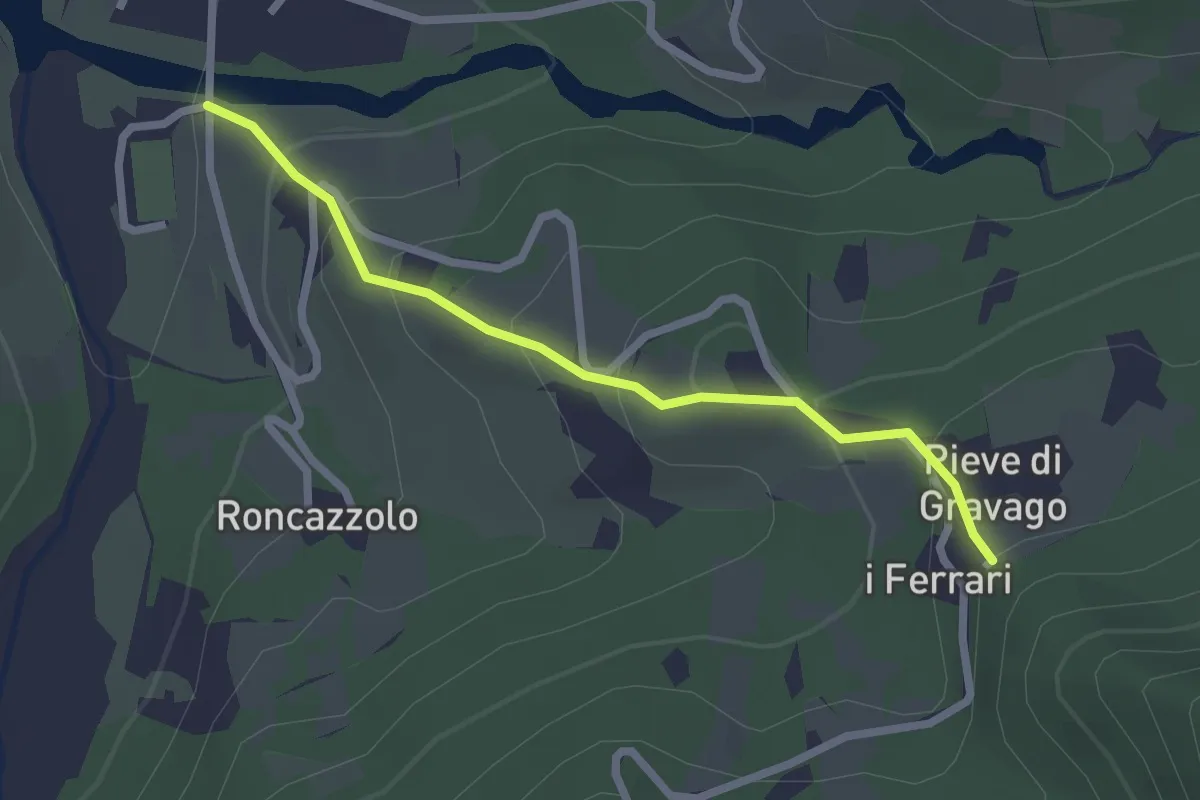
Campo sportivo Noveglia – PIeve di Gravago - incrocio con Via degli Abati
2.3 km · ↑ 154 m · 53 min · 11 km away
Easy · Trail
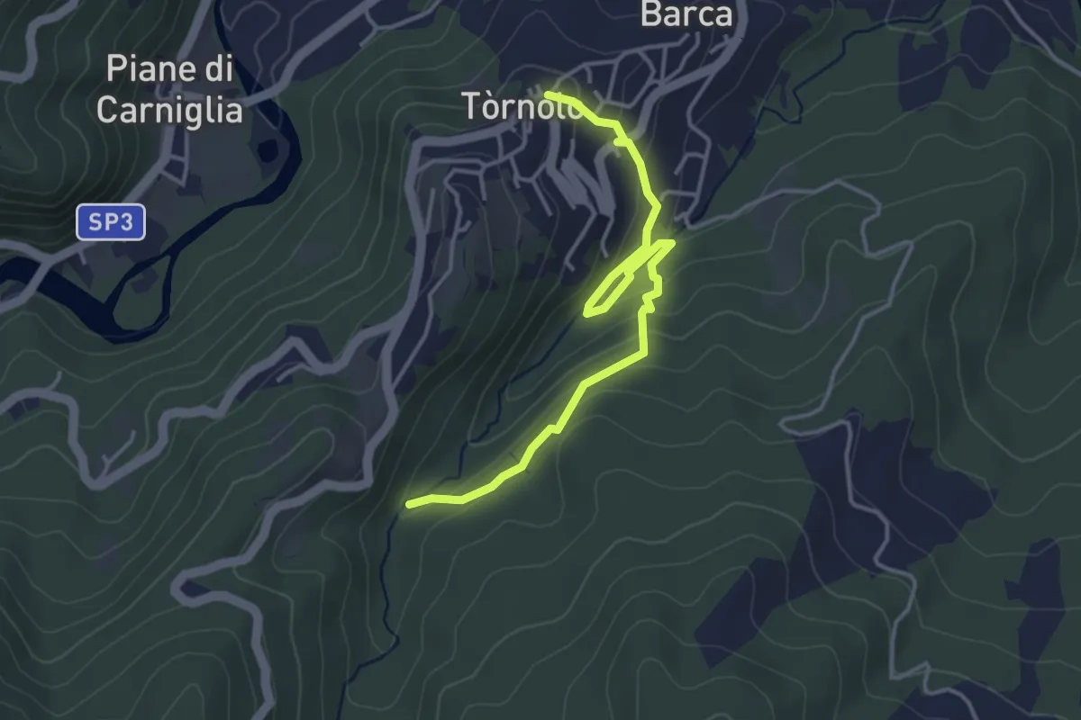
Sentiero Incantato tratto ovest
4.1 km · ↑ 198 m · 1 h 24 min · 11 km away
Easy · Trail
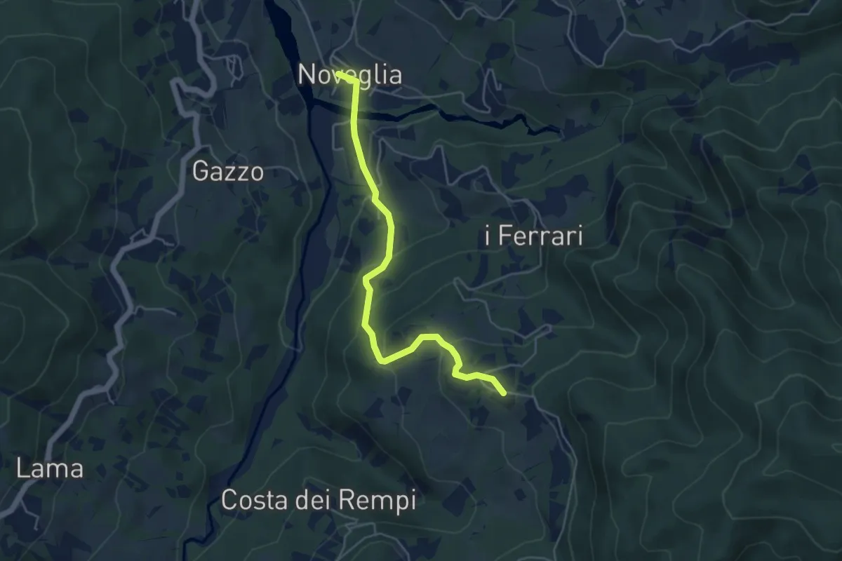
Noveglia – Bergazzi
4.8 km · ↑ 265 m · 1 h 42 min · 12 km away
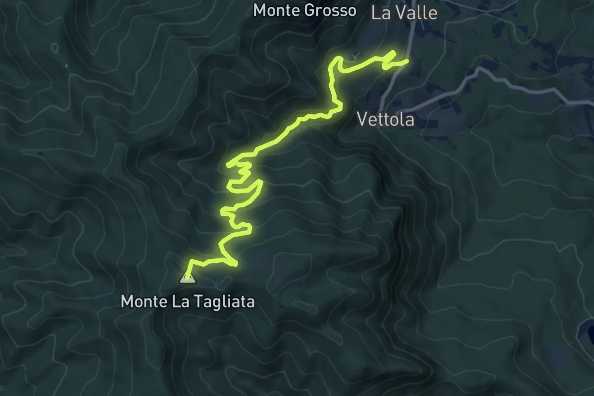
Medium · Summit
Mariano – Piano dell'Arato
10.2 km · ↑ 560 m · 3 h 38 min · 12 km away
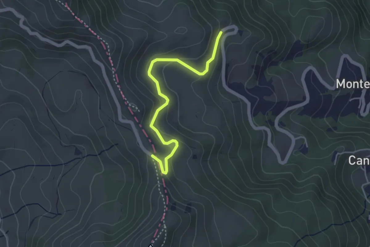
Easy · Trail
Percorso Comunità Montana Val di Taro
3.8 km · ↑ 151 m · 1 h 13 min · 12 km away
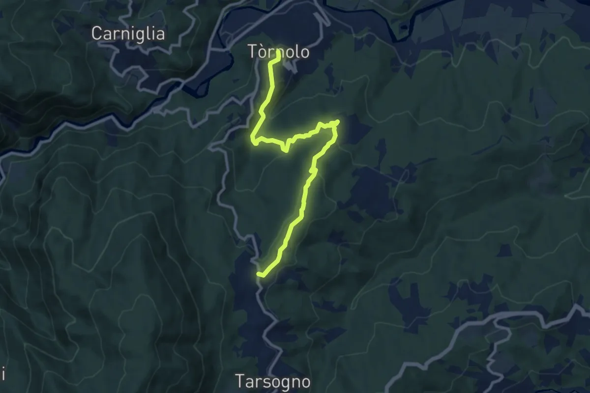
Medium · Trail
Tornolo – Ravezza
9.8 km · ↑ 418 m · 3 h 13 min · 12 km away
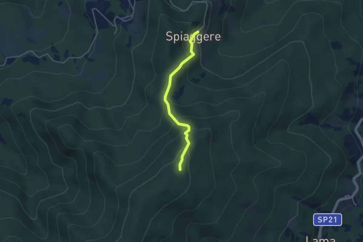
Easy · Trail
Spiaggere – Percorso 805
3.0 km · ↑ 250 m · 1 h 15 min · 12 km away
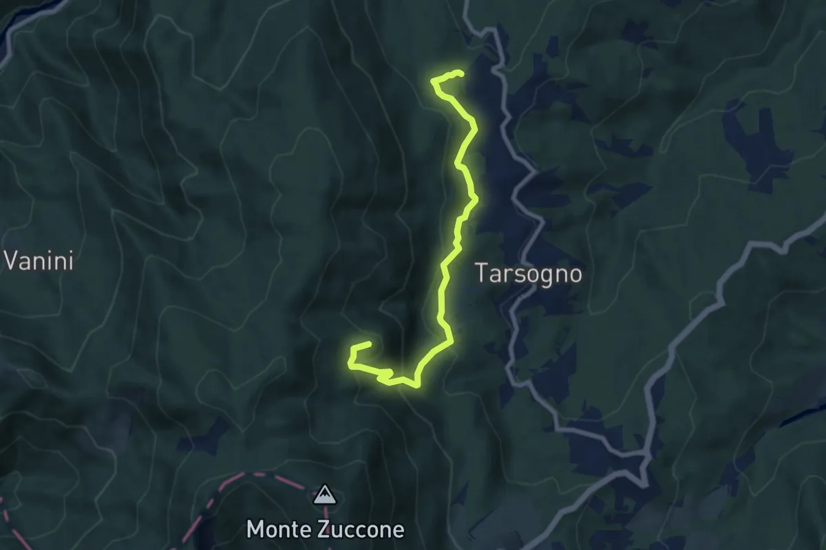
Medium · Summit
Ravezza – Percorso 855A
7.5 km · ↑ 428 m · 2 h 42 min · 12 km away
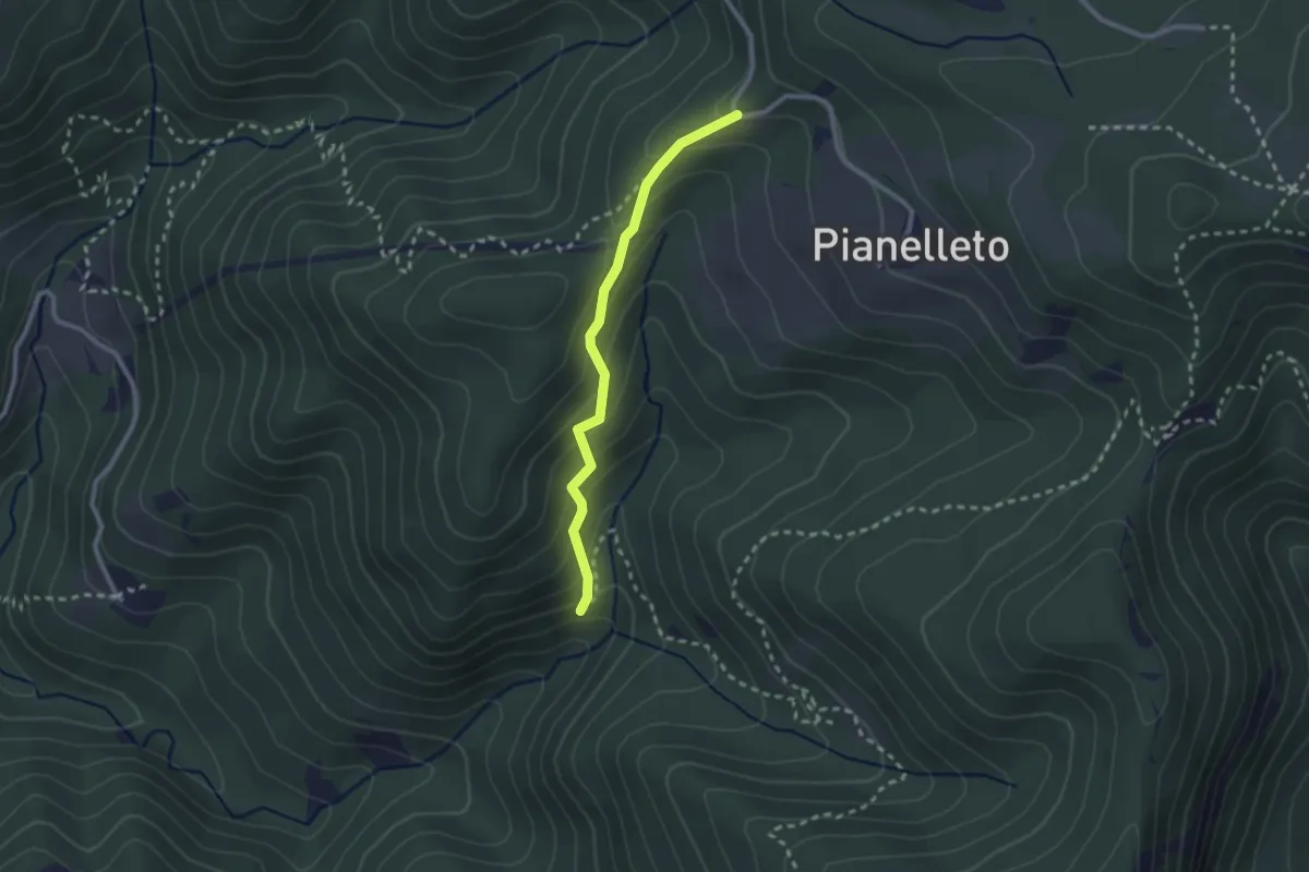
Easy · Trail
Percorso 803 – Percorso 803A
2.3 km · ↑ 195 m · 59 min · 12 km away
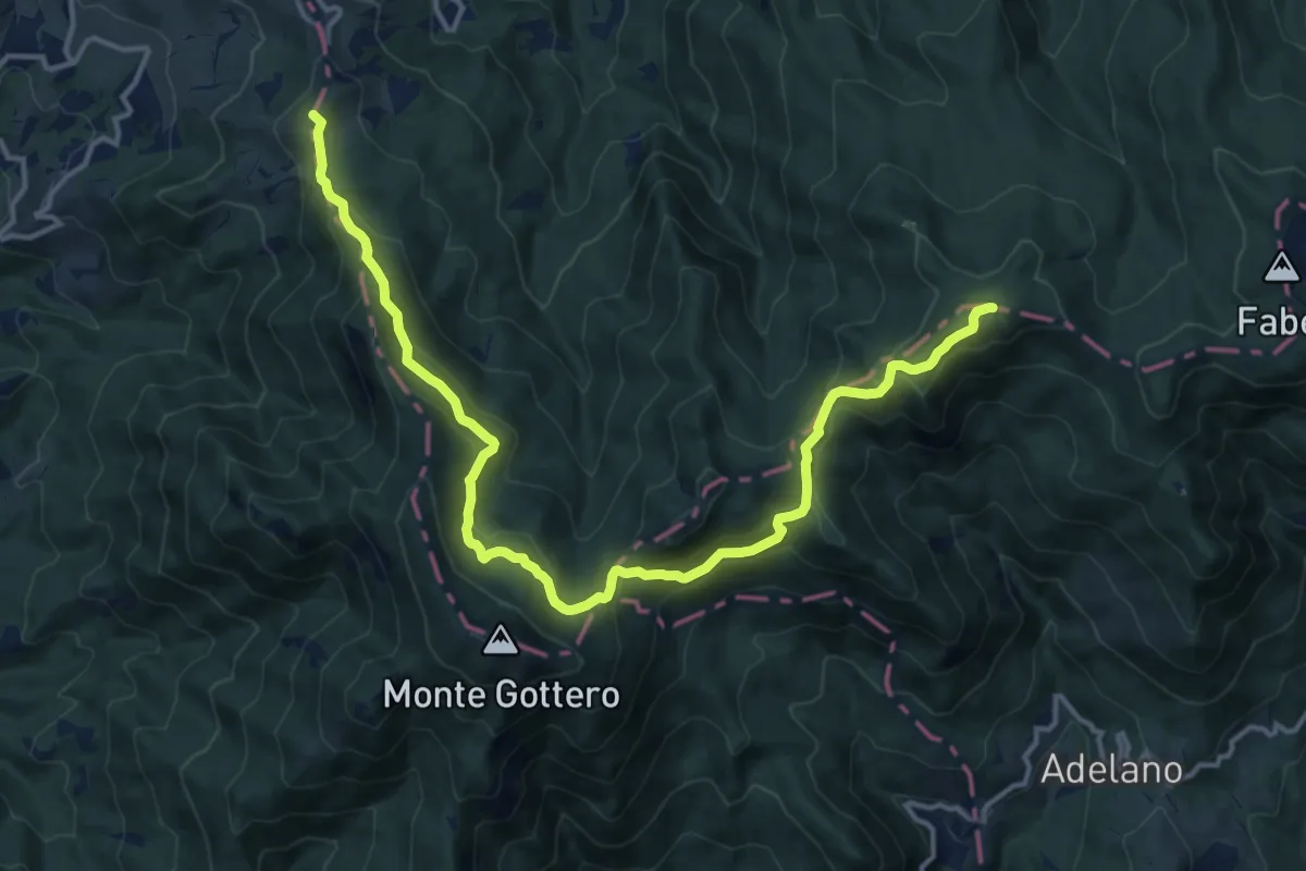
Demanding · Summit
Passo dei Due Santi – Passo della Cappelletta
17.0 km · ↑ 878 m · 5 h 55 min · 12 km away
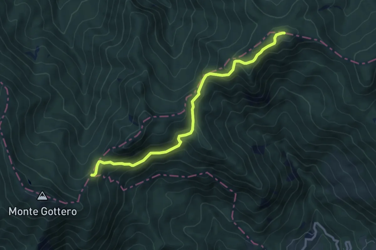
Medium · Trail
E1 Toscana 01 Variante 1.1
7.9 km · ↑ 412 m · 2 h 45 min · 12 km away
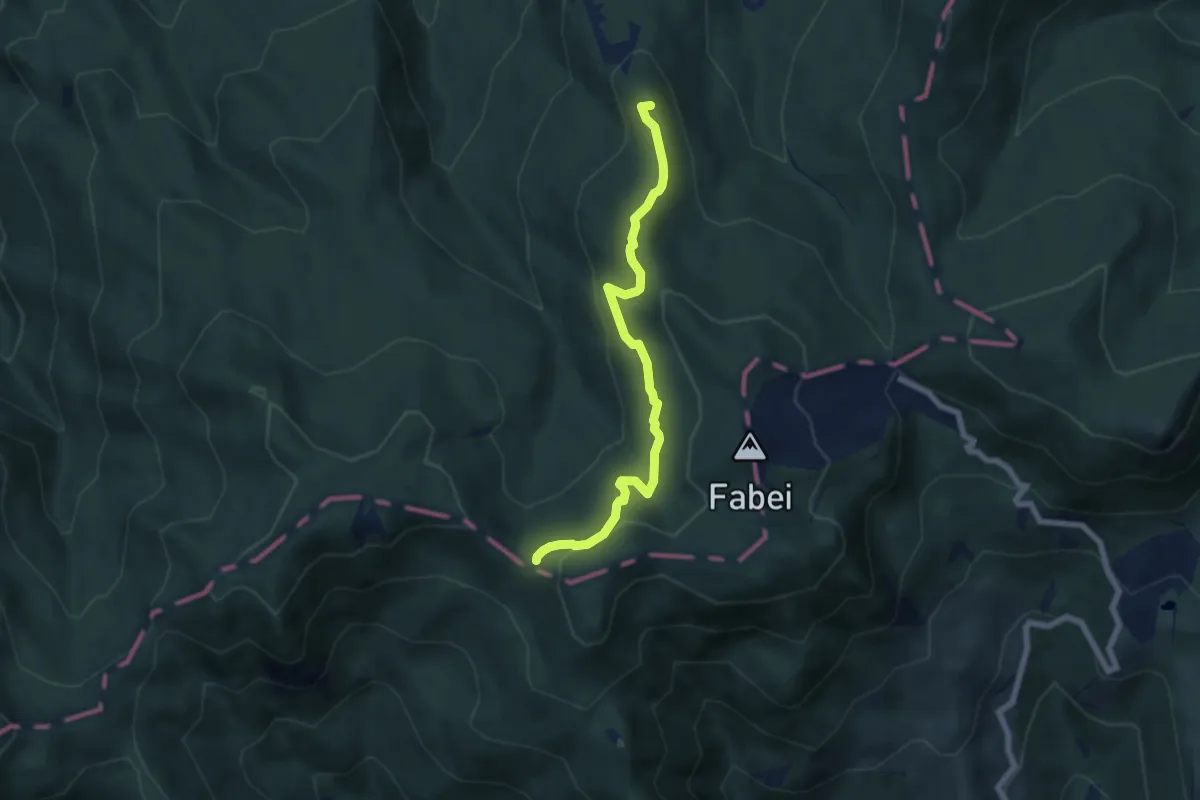
Medium · Summit
Vergastrelli - Il Focetto (Innesto AVML)
6.5 km · ↑ 228 m · 2 h 2 min · 12 km away
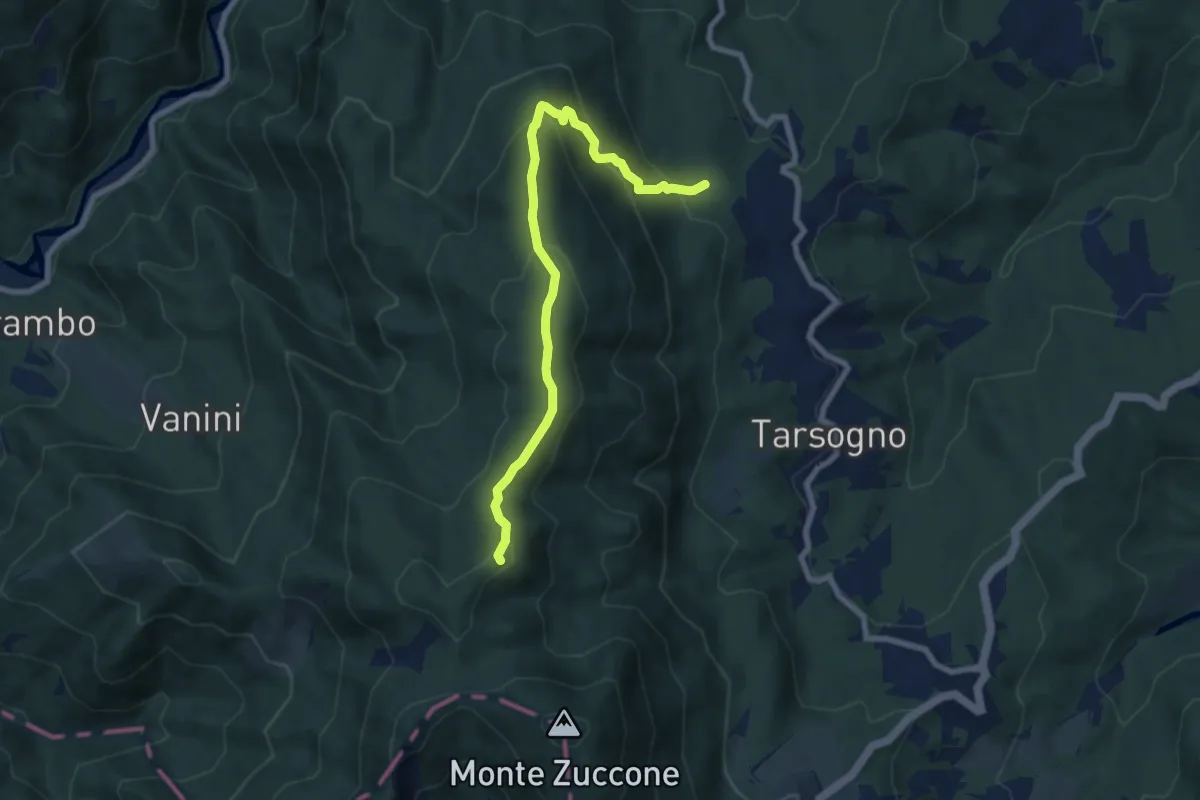
Medium · Summit
Percorso 855 – Le Pozze
7.9 km · ↑ 471 m · 2 h 54 min · 12 km away
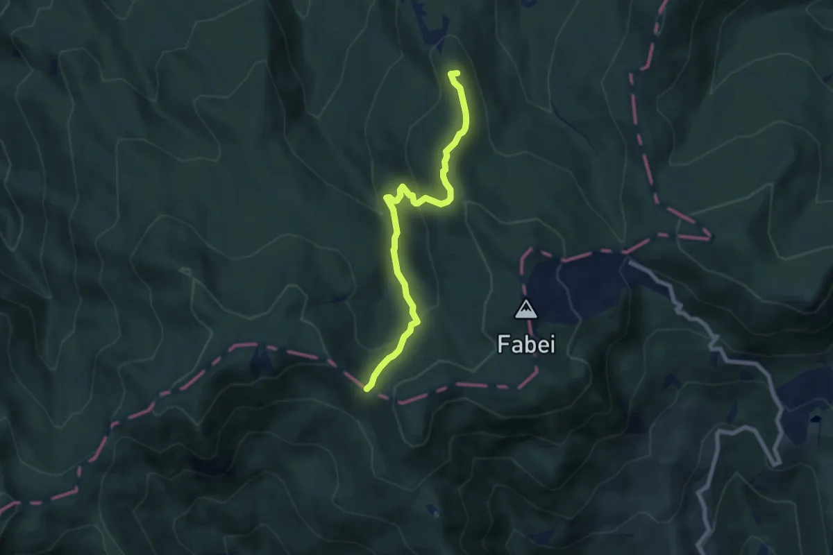
Medium · Summit
La Casermetta-Monte Vergastrelli-Passo del Focetto
6.6 km · ↑ 356 m · 2 h 20 min · 12 km away
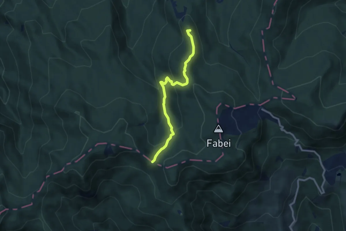
Medium · Summit
Sentiero Comunalia di Albareto
6.6 km · ↑ 351 m · 2 h 19 min · 12 km away
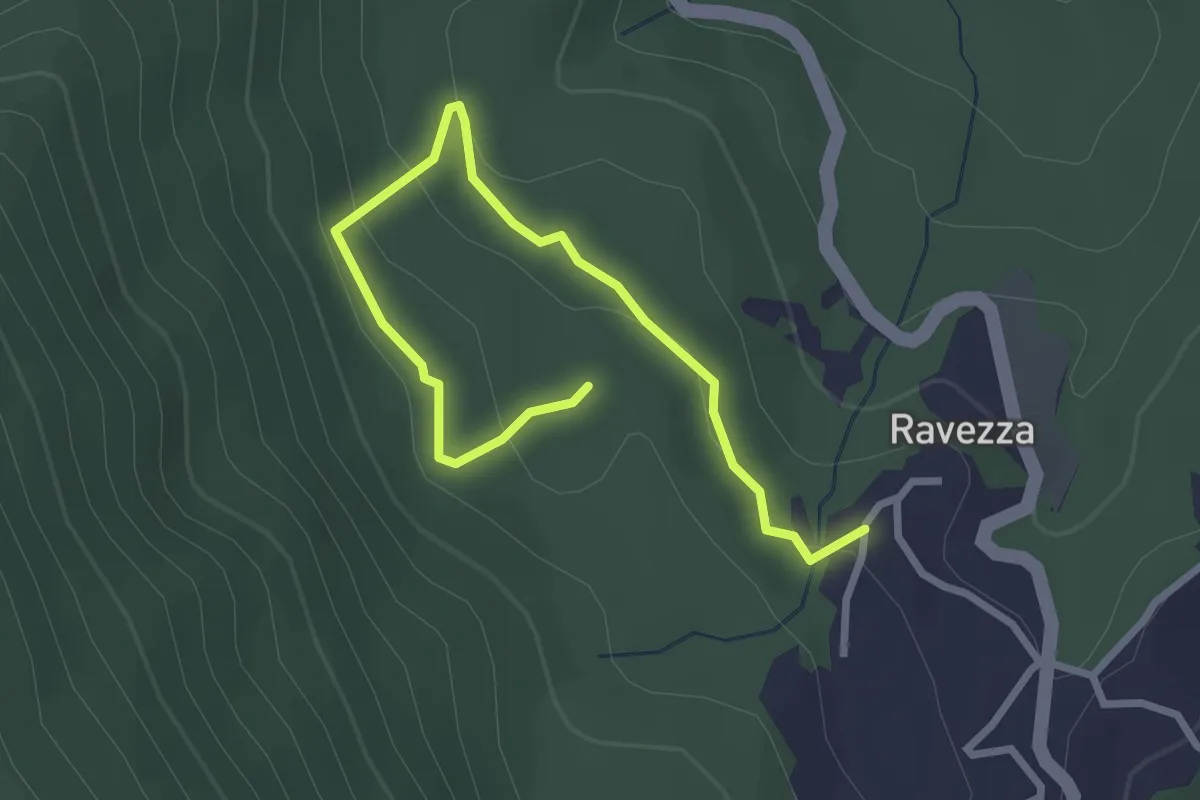
Easy · Trail
Ravezza – Ravezza
1.7 km · ↑ 66 m · 34 min · 12 km away
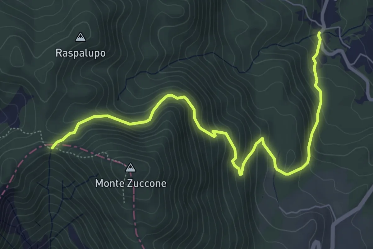
Medium · Trail
Tosini – Le Pozze
7.4 km · ↑ 540 m · 2 h 54 min · 12 km away
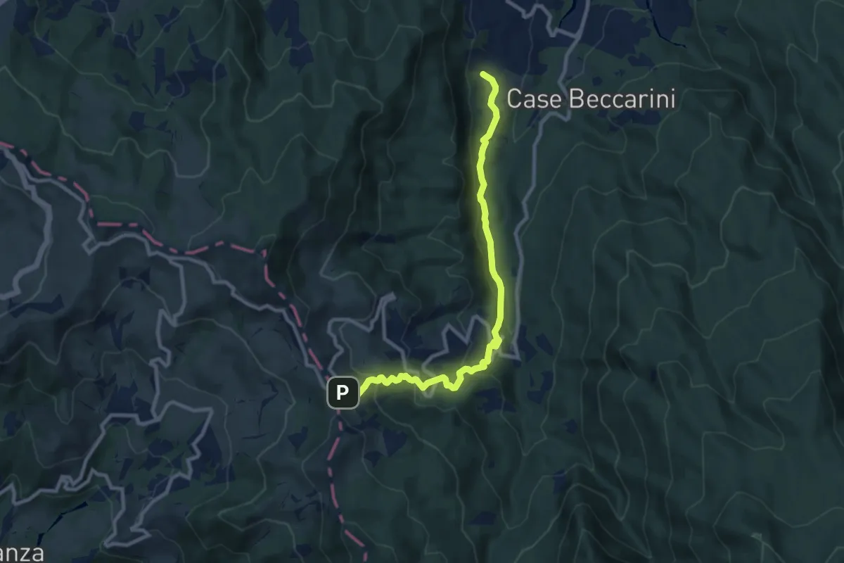
Medium · Trail
Groppo – Passo della Cappelletta
9.7 km · ↑ 582 m · 3 h 33 min · 13 km away
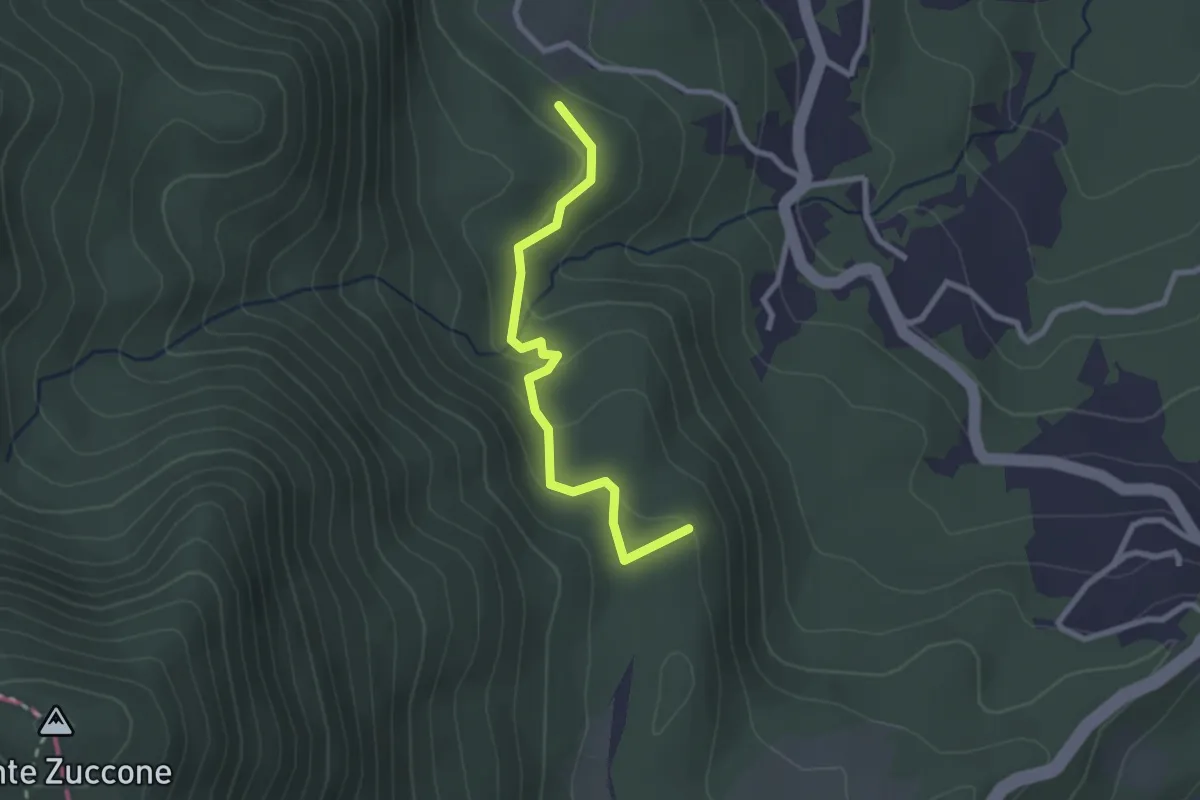
Easy · Summit
"Strada di Pratolungo" - Iareto - Pratolungo
2.5 km · ↑ 98 m · 49 min · 13 km away
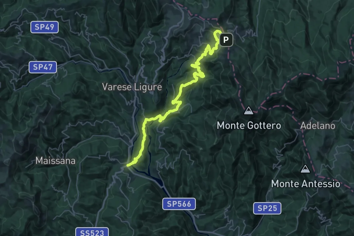
Medium · Trail
San Pietro – Teviggio – Casa Capriola – Gaspagino – Passo della Cappelletta
17.1 km · ↑ 303 m · 5 h 20 min · 13 km away
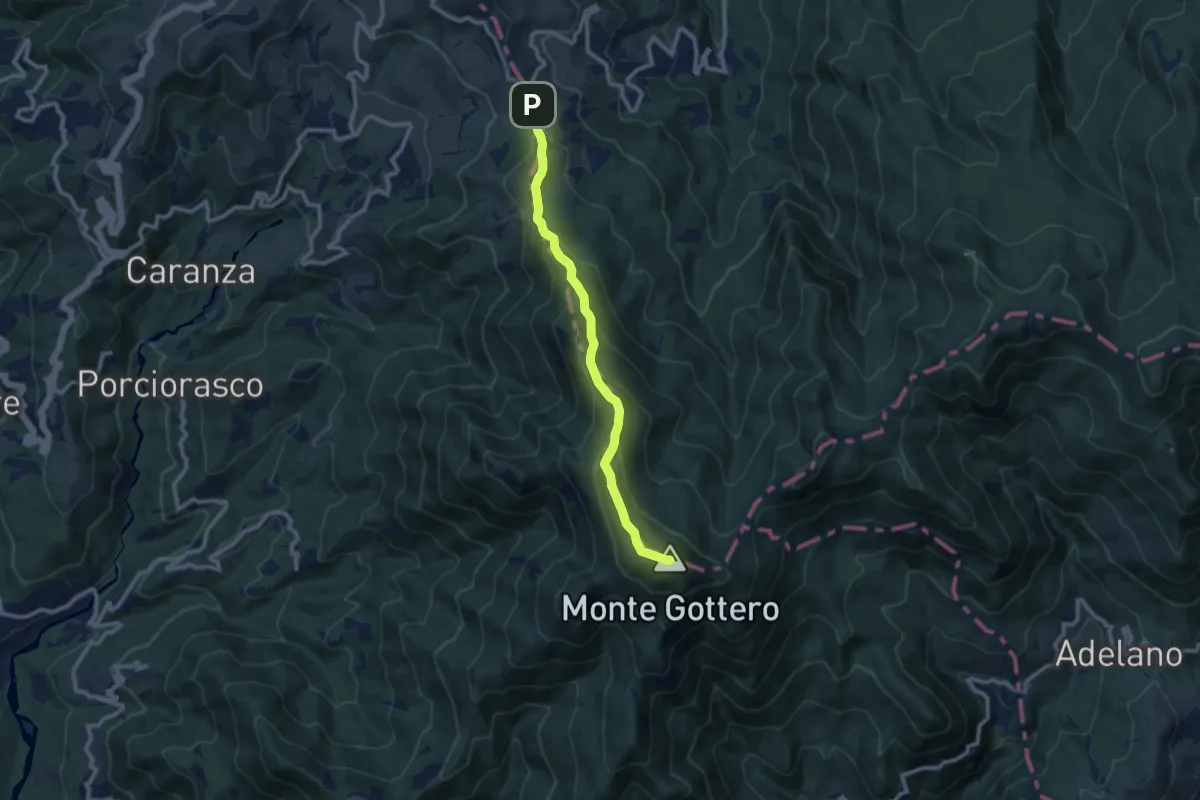
Medium · Summit
Passo della Cappelletta - Passo Calzavitello
9.4 km · ↑ 595 m · 3 h 31 min · 13 km away
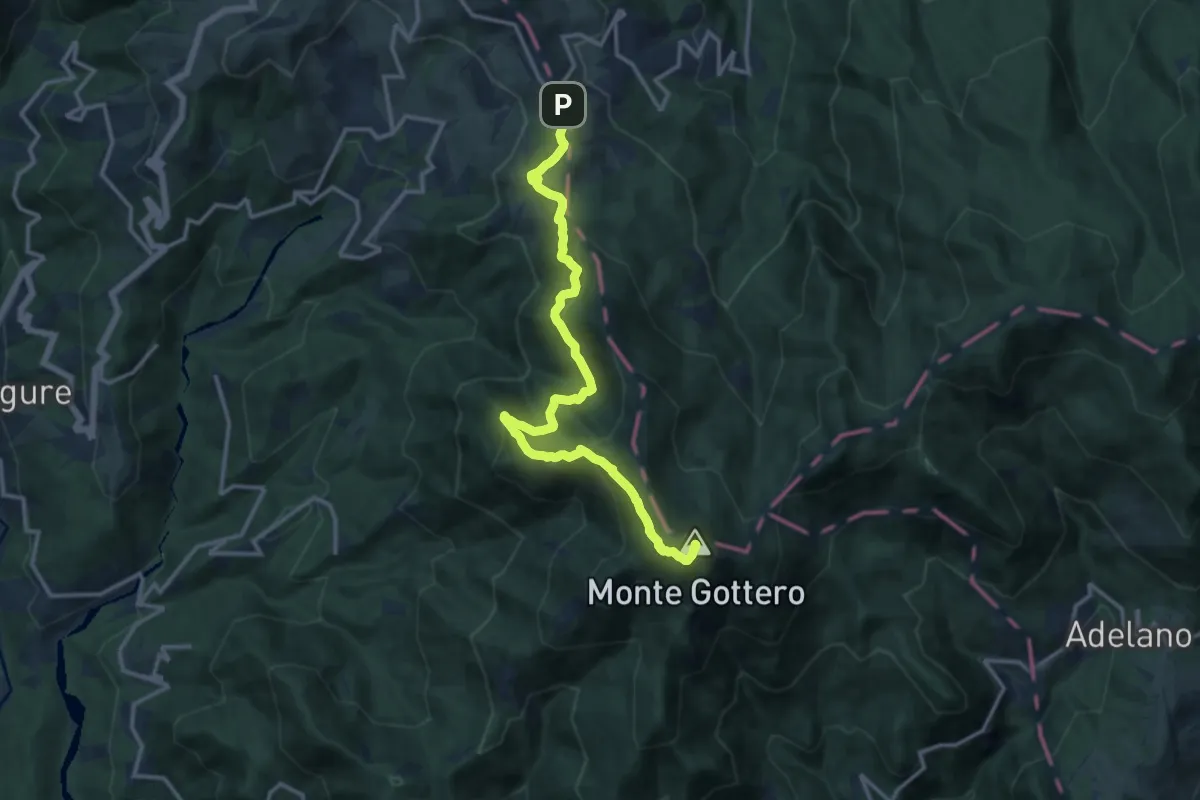
Demanding · Summit
Passo della Cappelletta – Monte Chiappa – Monte Gottero (Bivio AVML)
14.6 km · ↑ 929 m · 5 h 27 min · 13 km away
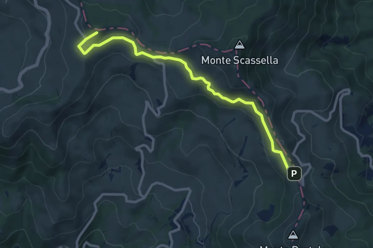
Easy · Summit
Passo di Cento Croci - Passo della Cappelletta
7.0 km · ↑ 204 m · 2 h 5 min · 13 km away
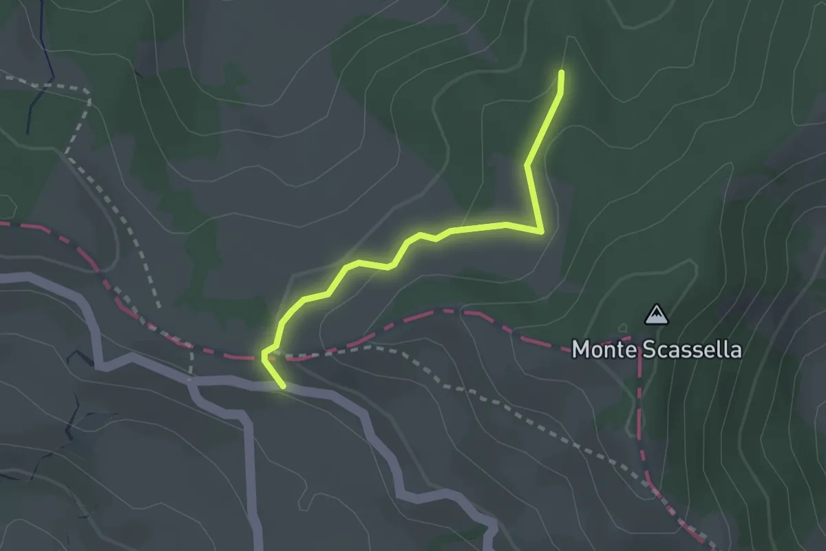
Easy · Trail
Folta - Monte Bagastese - Alta Via dei Monti Liguri
2.1 km · ↑ 70 m · 40 min · 13 km away
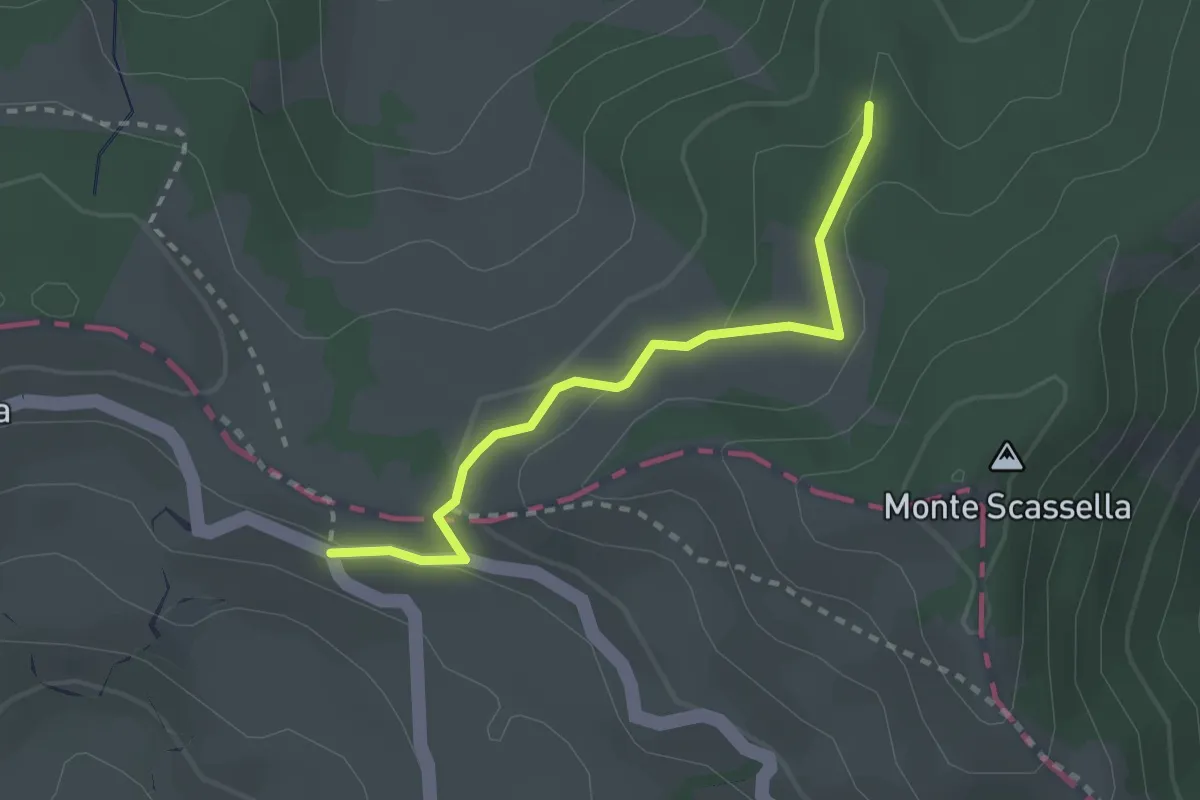
Easy · Trail
Via dei Remi - tappa 2
2.5 km · ↑ 81 m · 46 min · 13 km away
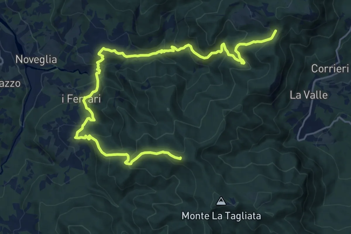
Demanding · Summit
Percorso 803 – Monte Disperata
20.4 km · ↑ 1249 m · 7 h 31 min · 13 km away
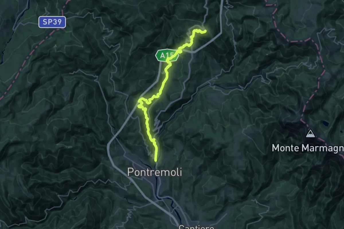
Medium · Pilgrim path
Via Francigena - 05 Liguria Variante Montelungo-Pontremoli
13.0 km · ↑ 216 m · 4 h 5 min · 13 km away
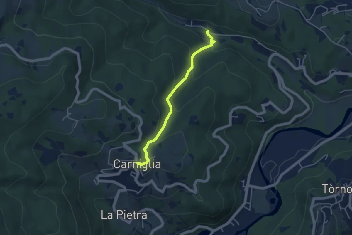
Easy · Trail
Gelana (Percorso 827) – Carniglia
3.2 km · ↑ 169 m · 1 h 7 min · 13 km away
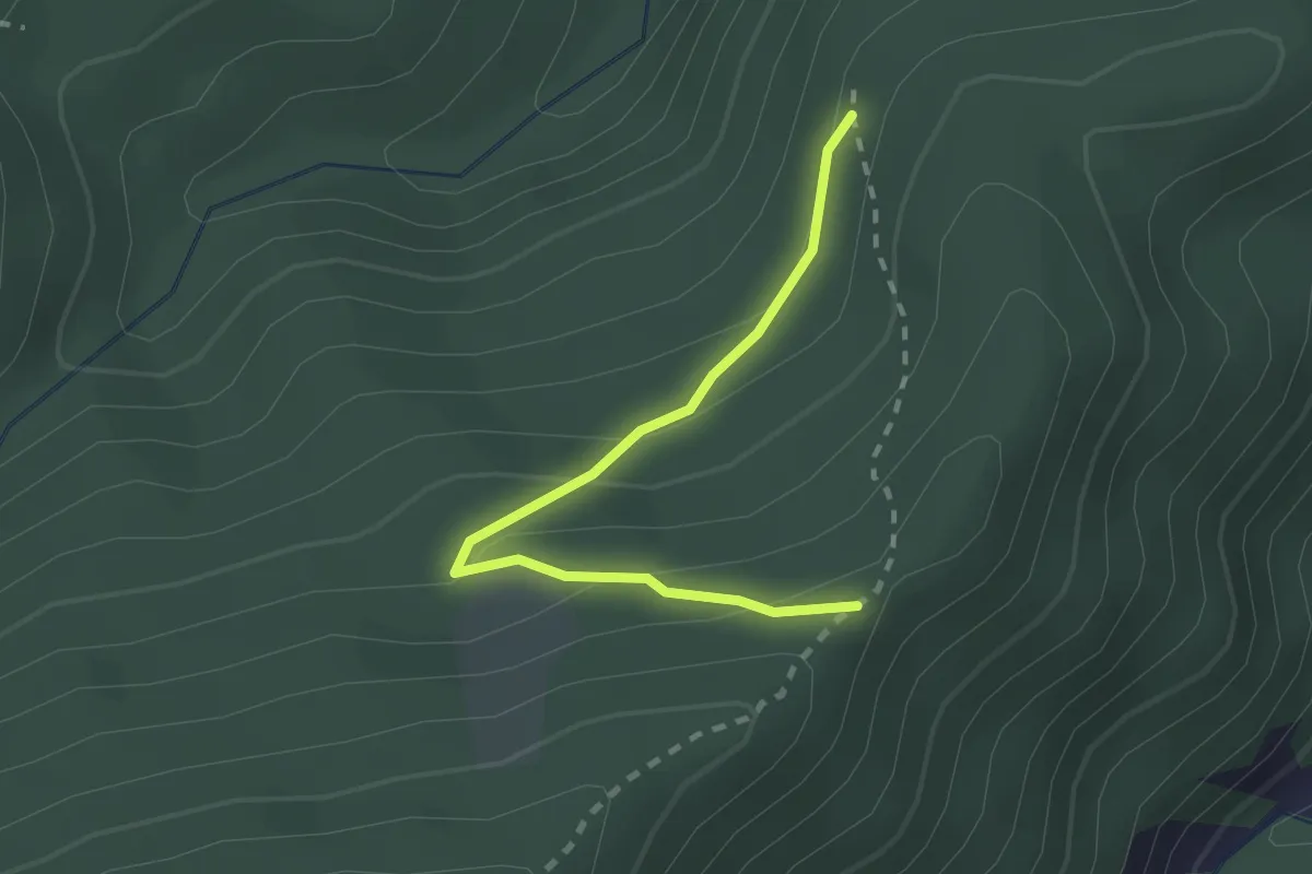
Easy · Trail
Percorso 835 – Percorso 835
2.2 km · ↑ 133 m · 48 min · 13 km away
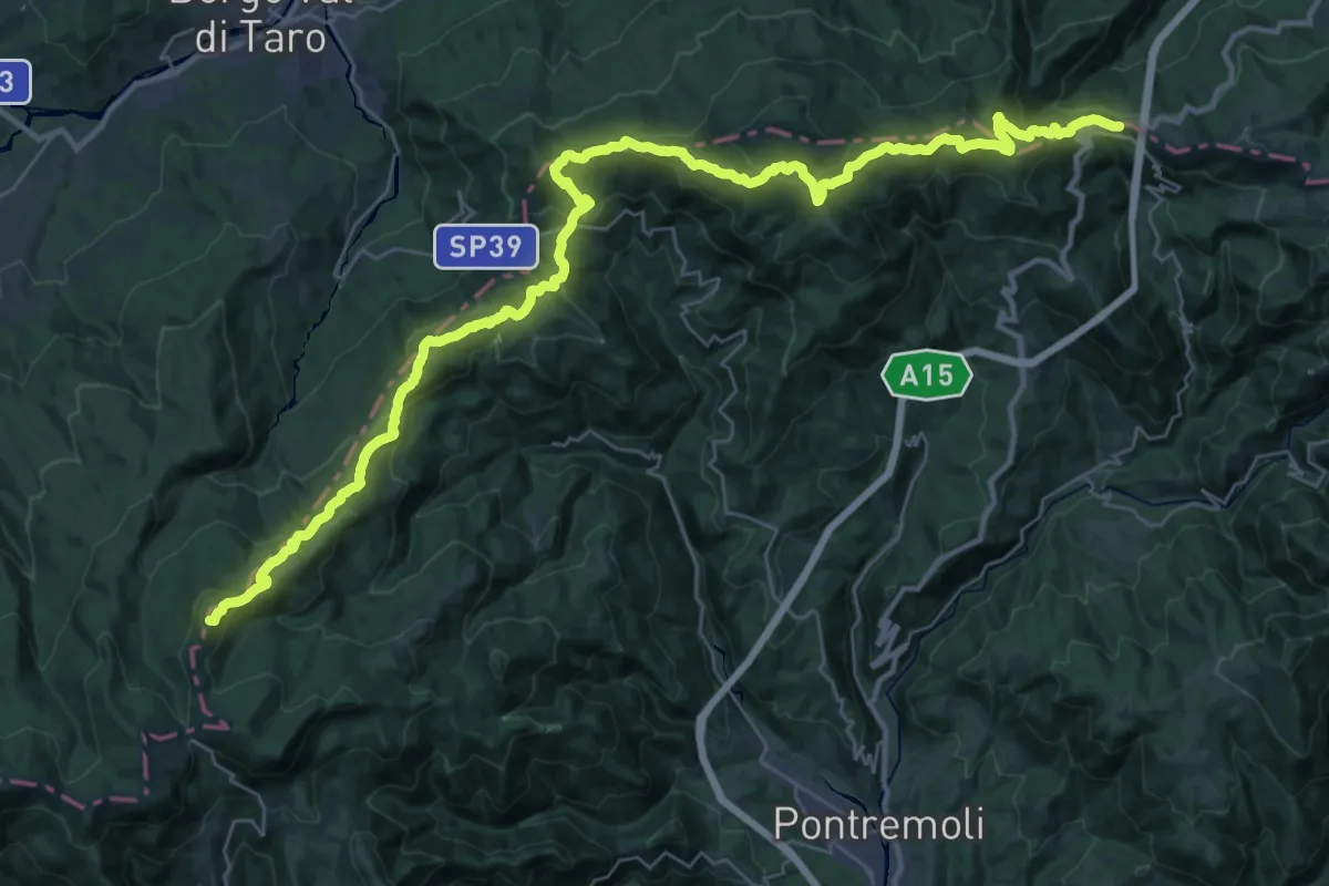
Demanding · Summit
E1 Toscana 01 Passo dei Due Santi - Passo della Cisa
44.6 km · ↑ 1934 m · 14 h 43 min · 13 km away
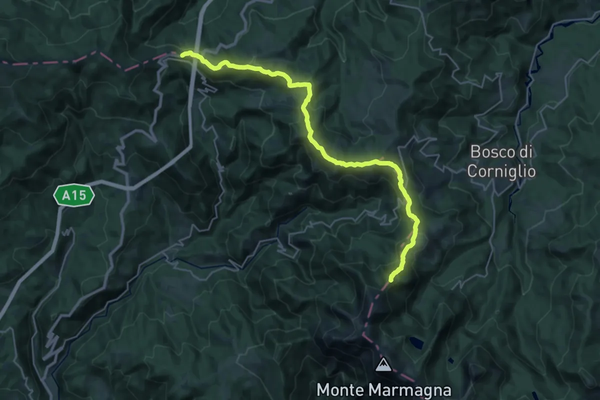
Demanding · Summit
E1 Toscana 02 Passo della Cisa - Lago Santo Parmense
23.7 km · ↑ 1127 m · 8 h 2 min · 13 km away
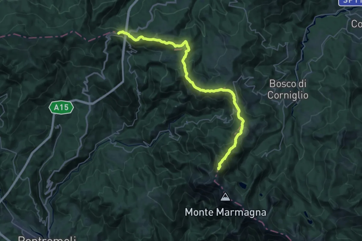
Demanding · Summit
Grande Escursione Appenninica - Tappa 23
26.8 km · ↑ 1340 m · 9 h 14 min · 13 km away
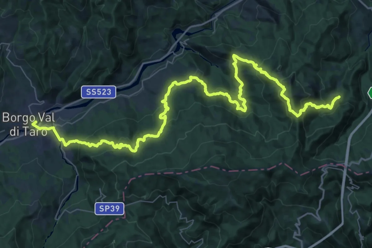
Demanding · Trail
Corchia - La Cala' - Belforte - P. del Lago - Borgotaro
25.3 km · ↑ 1076 m · 8 h 47 min · 13 km away
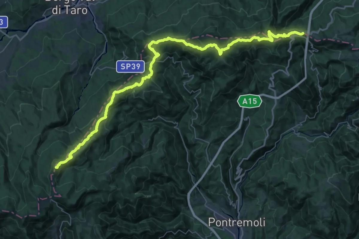
Demanding · Summit
Passo della Cisa – Passo dei due Santi
44.8 km · ↑ 1934 m · 14 h 46 min · 13 km away
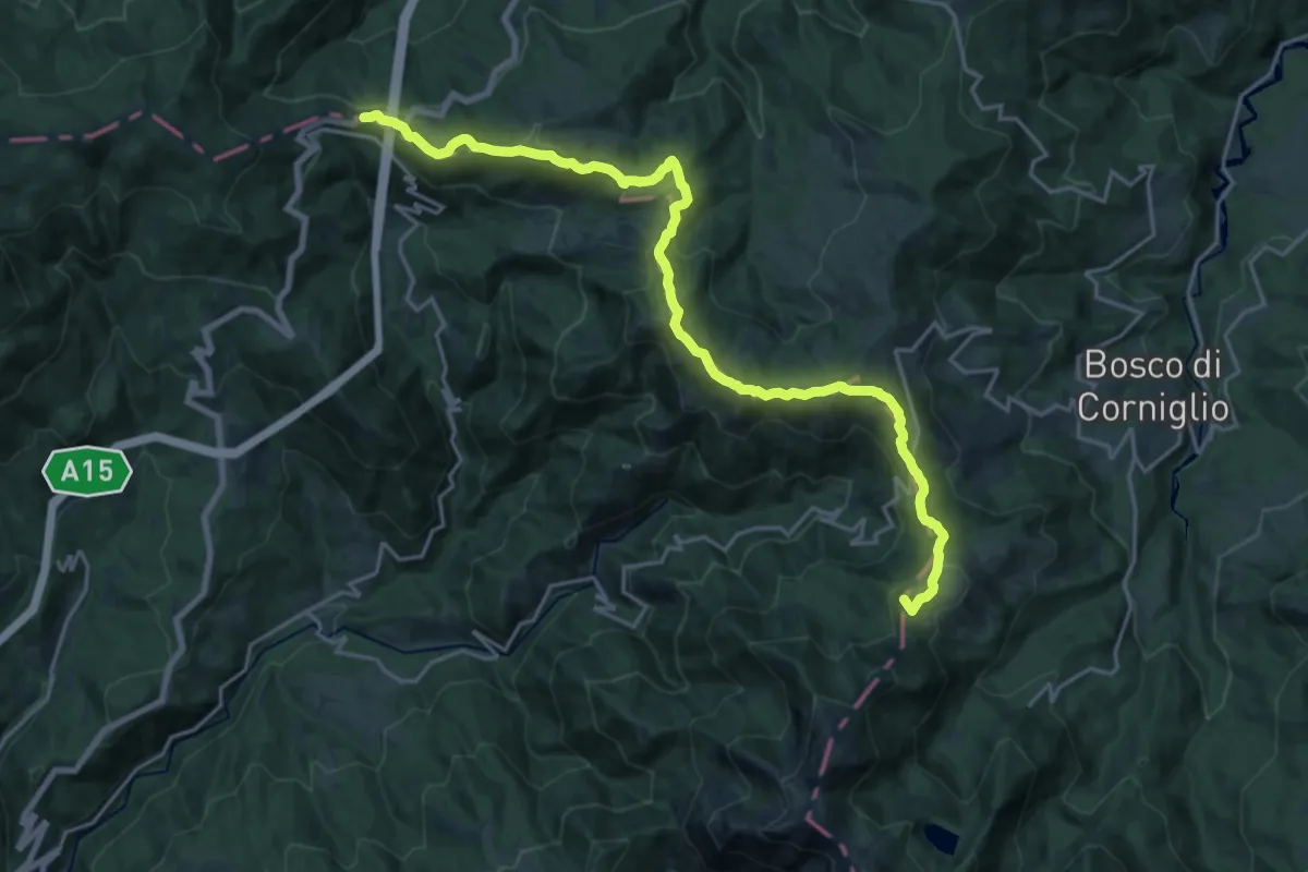
Demanding · Summit
Bivio Lago Santo Parmense – Passo della Cisa
22.8 km · ↑ 945 m · 7 h 26 min · 13 km away
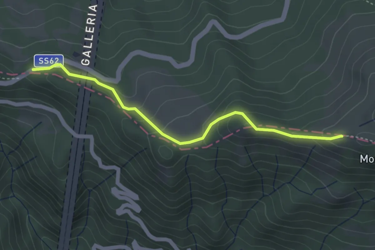
Medium · Summit
Via Francigena - Variante Monte Valoria
1.9 km · ↑ 170 m · 46 min · 13 km away
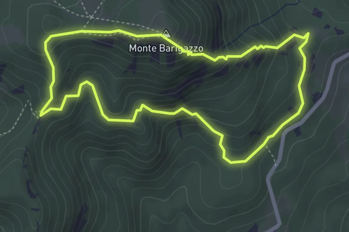
Medium · Summit
Piano Dell'Arato – Piano Dell'Arato
4.1 km · ↑ 353 m · 1 h 48 min · 13 km away
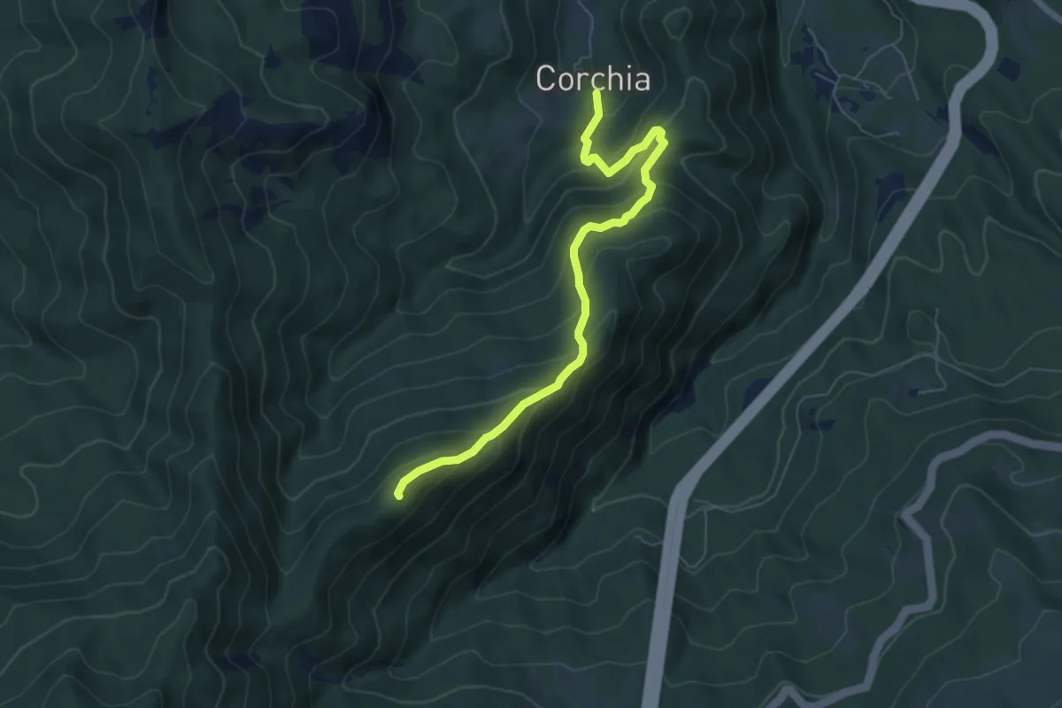
Medium · Summit
Corchia – Termine del Gatto
6.6 km · ↑ 506 m · 2 h 39 min · 13 km away
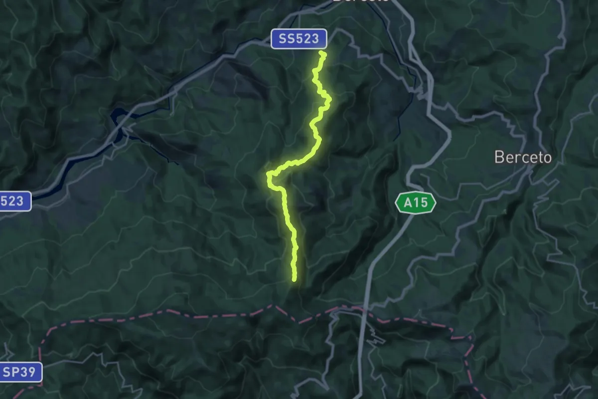
Demanding · Summit
San Bernardo;Monte Binaghe;La Cala';Termine del Gatto
18.5 km · ↑ 1095 m · 6 h 44 min · 13 km away