Trails near Borgo Val di Taro
120 hikes starting within 15 km, nearest first.
Nearest first, page 3 of 3
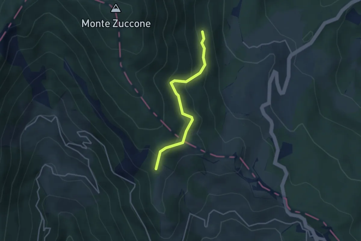
Easy · Trail
Prato Lungo di Tarsogno – Alta Via dei Monti Liguri
3.1 km · ↑ 219 m · 1 h 12 min · 13 km away
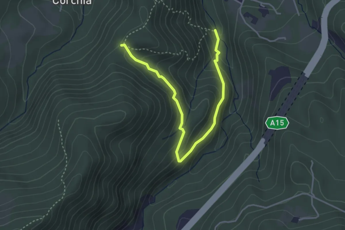
Easy · Trail
Valbona - Costa Mezzana - Casa Findone
4.1 km · ↑ 223 m · 1 h 27 min · 13 km away
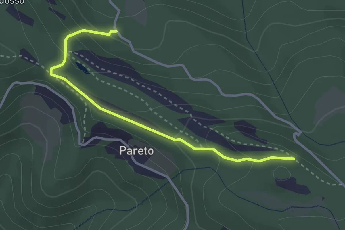
Easy · Trail
Strada di Campo del Gallo – Percorso 809
3.0 km · ↑ 153 m · 1 h 2 min · 14 km away
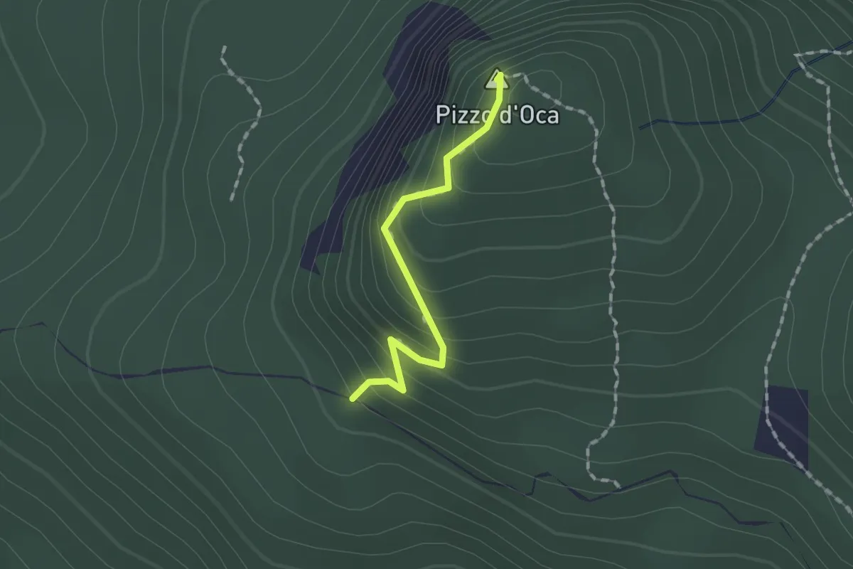
Easy · Summit
Percorso 803 – Percorso 803
1.3 km · ↑ 119 m · 34 min · 14 km away
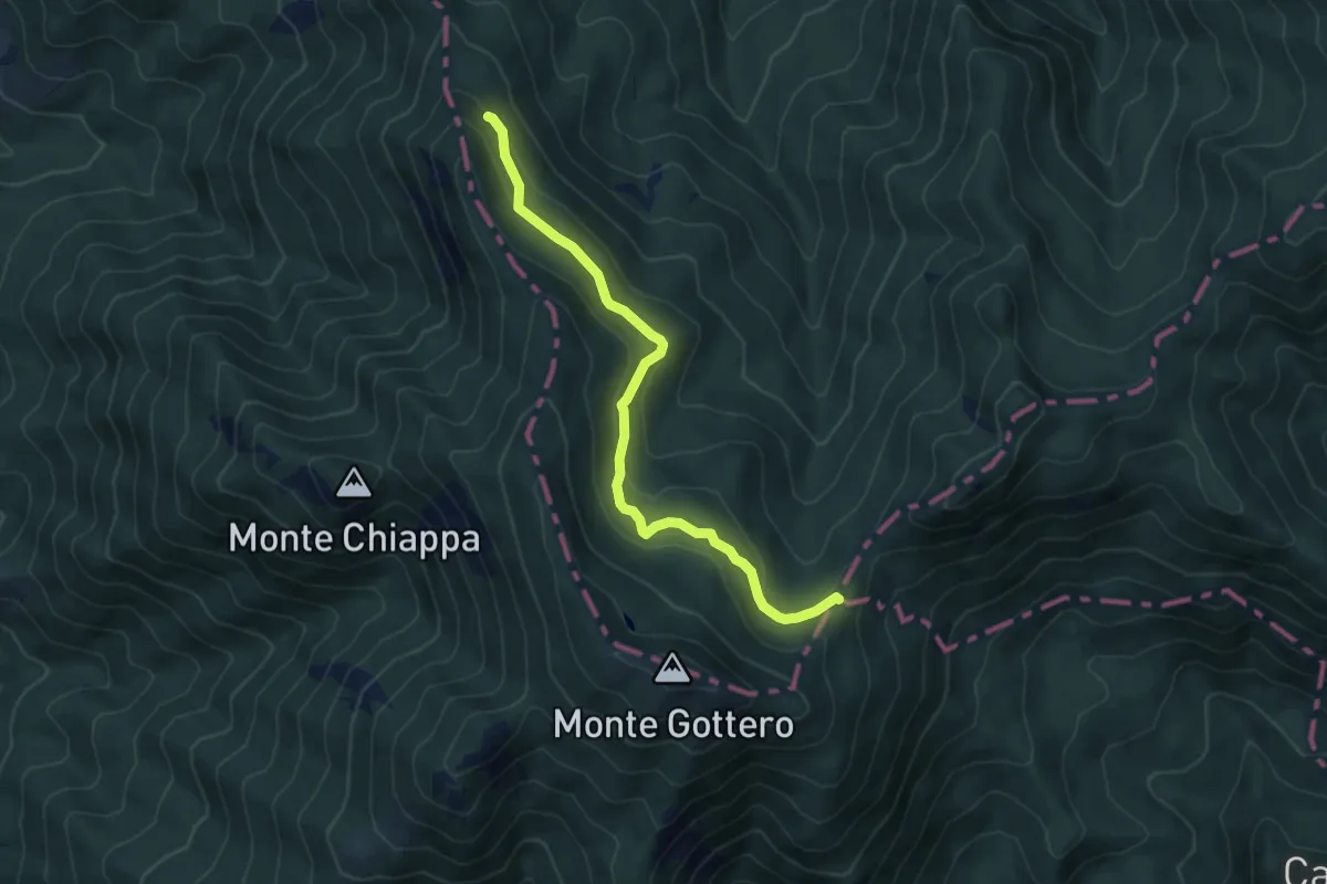
Medium · Trail
European Long distance path E1 - part Italy - Liguria
6.2 km · ↑ 270 m · 2 h 3 min · 14 km away
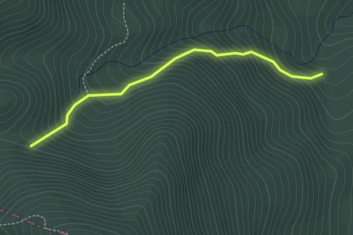
Easy · Trail
Rio Lubiana – Percorso 853
2.4 km · ↑ 314 m · 1 h 15 min · 14 km away
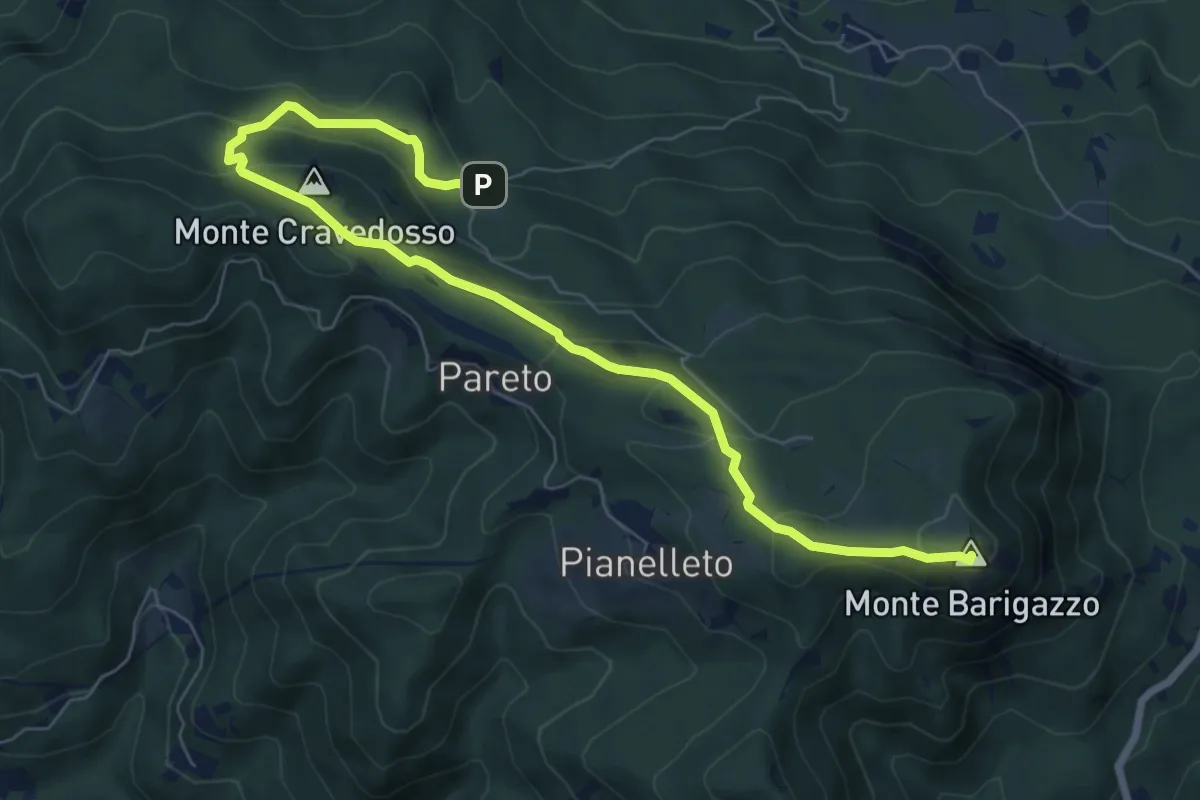
Demanding · Summit
Strada di Campo del Gallo – Monte Barigazzo
8.7 km · ↑ 420 m · 2 h 58 min · 14 km away
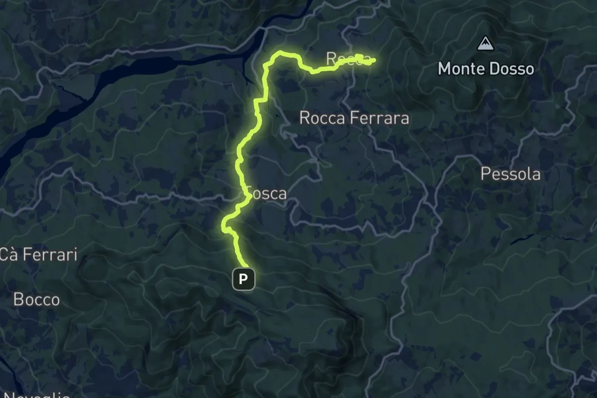
Medium · Summit
Sentiero Piastra di Varsi-Rocca-Tosca-Città d'Umbrìa
7.6 km · ↑ 351 m · 2 h 47 min · 14 km away
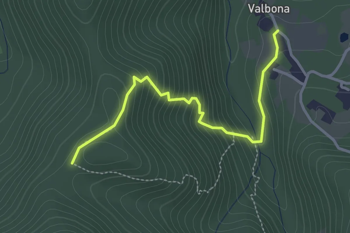
Easy · Trail
Valbona - Casa Findone
2.8 km · ↑ 200 m · 1 h 6 min · 14 km away
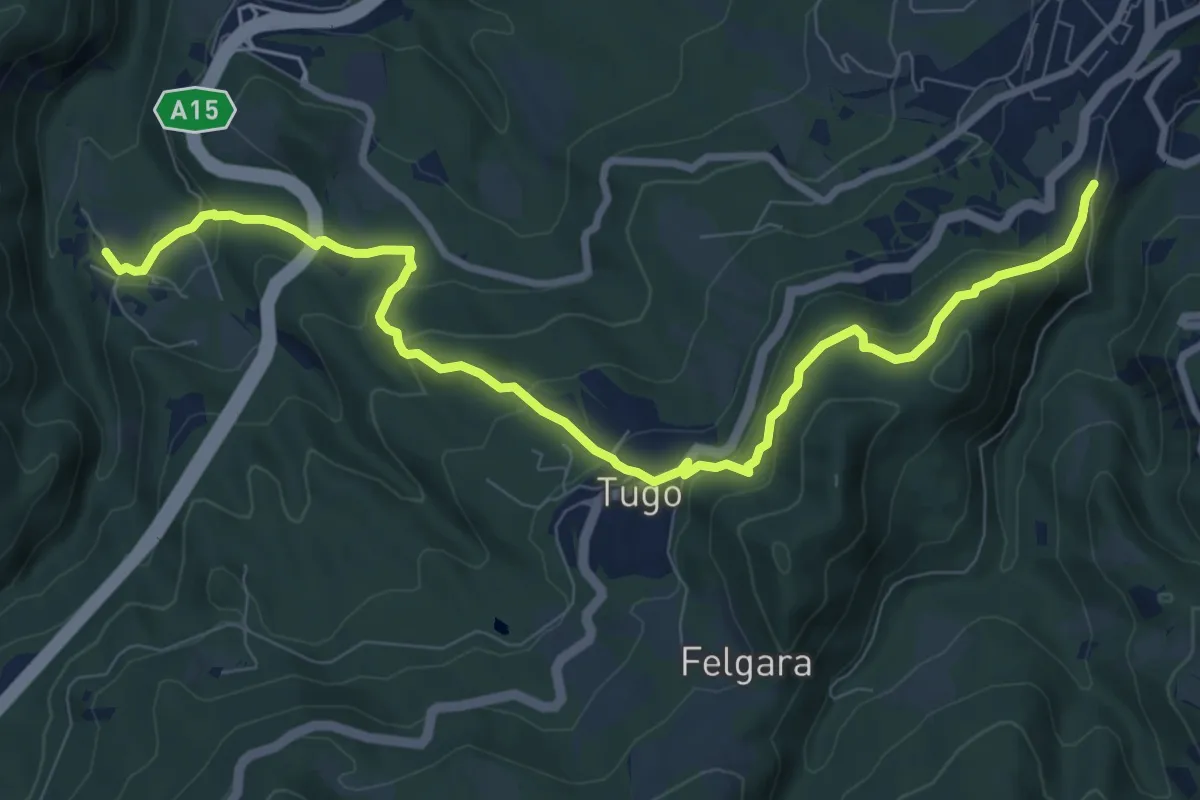
Medium · Trail
Costella del Poggio di Berceto – Valbona Castello
10.5 km · ↑ 547 m · 3 h 40 min · 14 km away
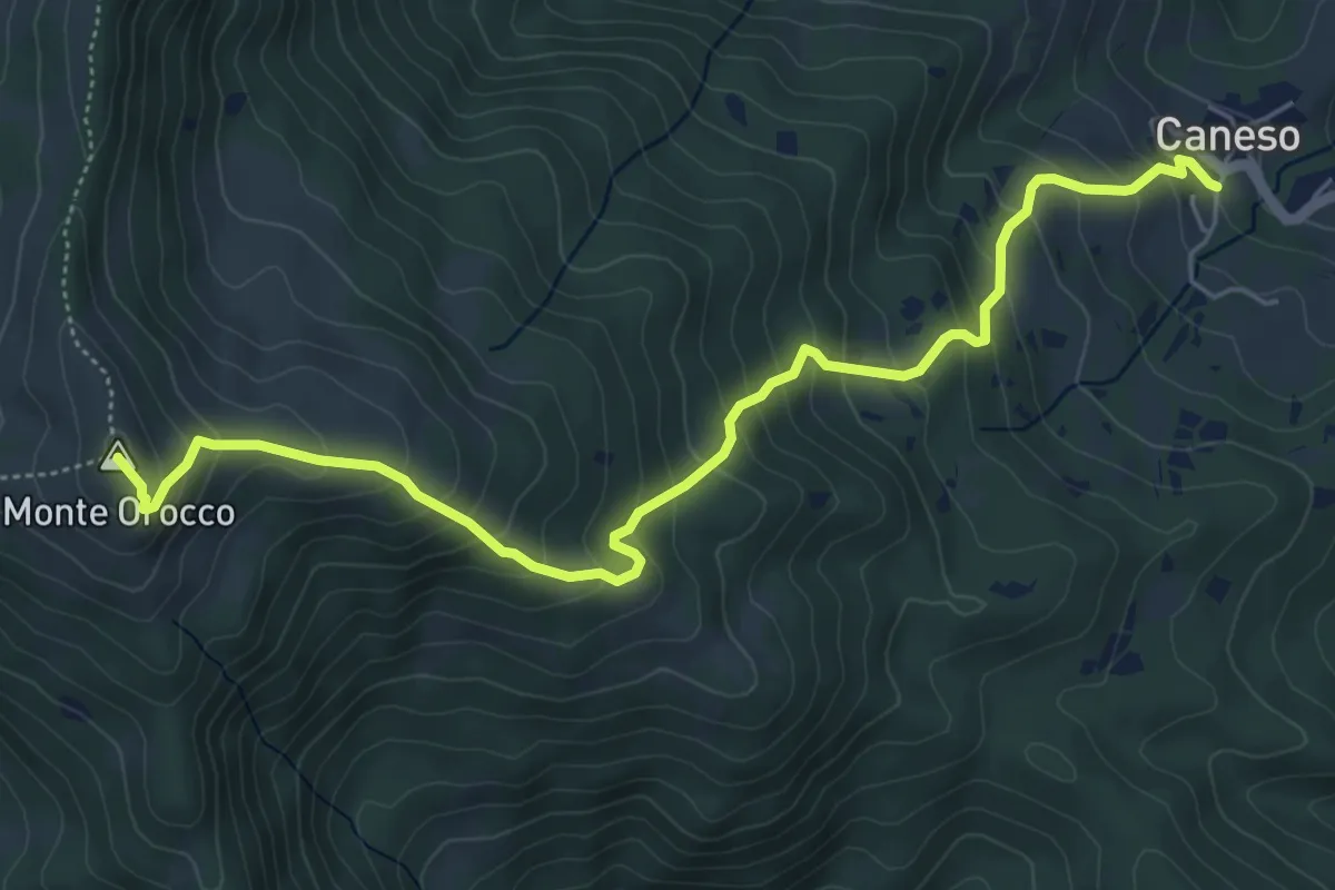
Medium · Summit
Caneso – Monte Orocco
6.4 km · ↑ 549 m · 2 h 42 min · 14 km away
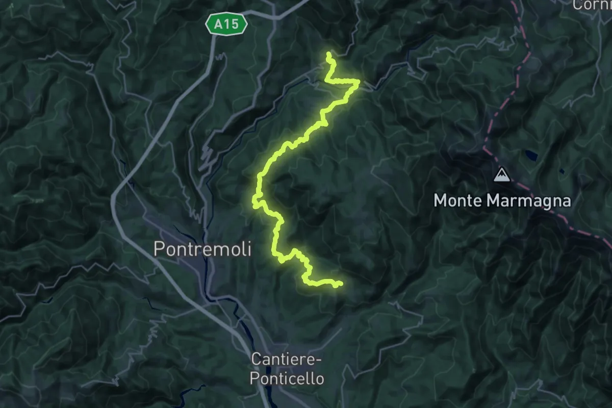
Medium · Trail
Trekking Lunigiana 5
14.7 km · ↑ 627 m · 5 h 2 min · 15 km away
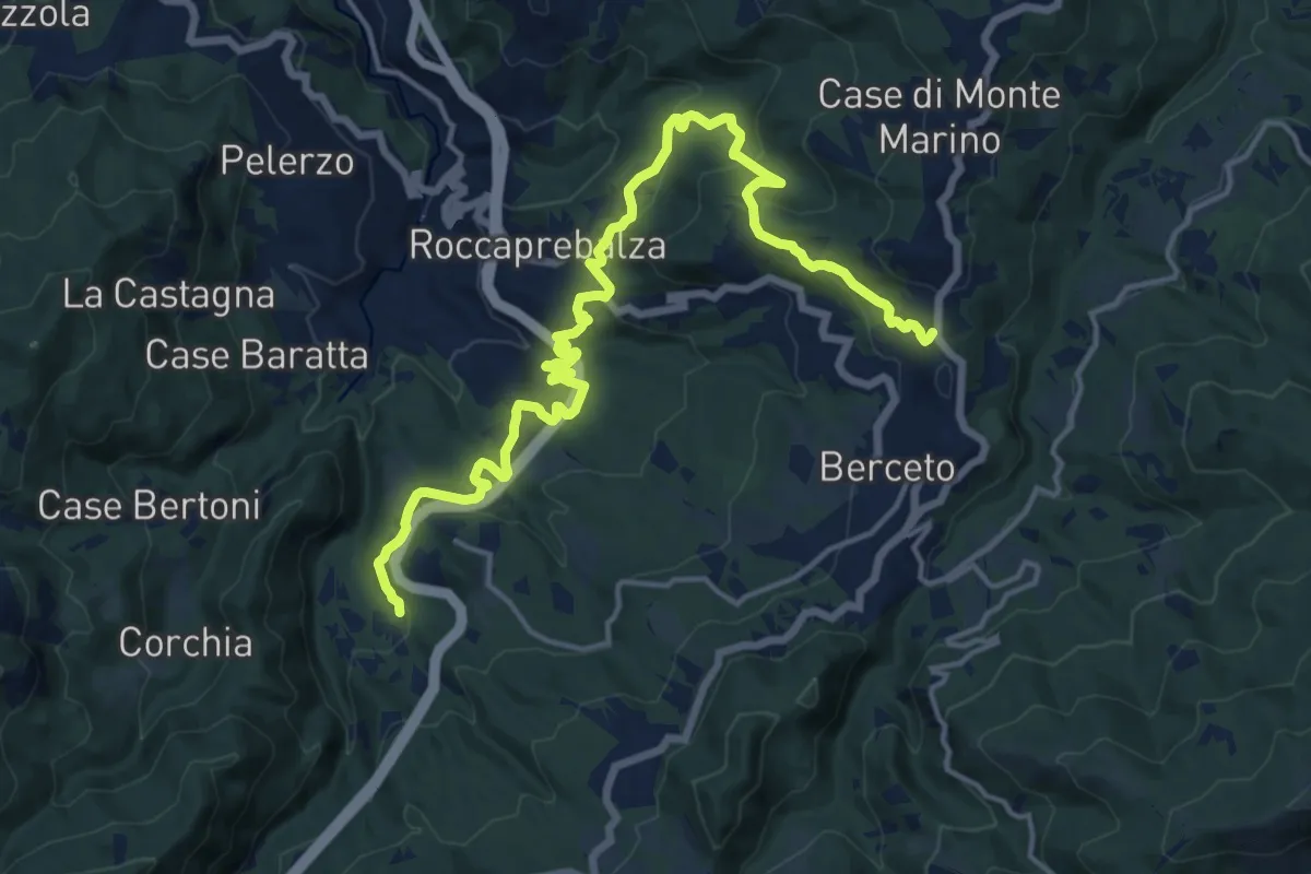
Demanding · Trail
Statale della Cisa – Valbona
19.6 km · ↑ 686 m · 6 h 7 min · 15 km away
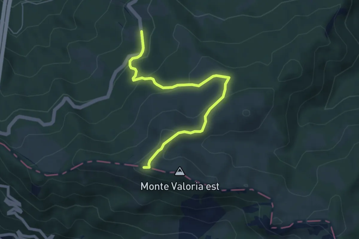
Easy · Summit
E1 Toscana 02 Variante 2.1
5.3 km · ↑ 241 m · 1 h 47 min · 15 km away
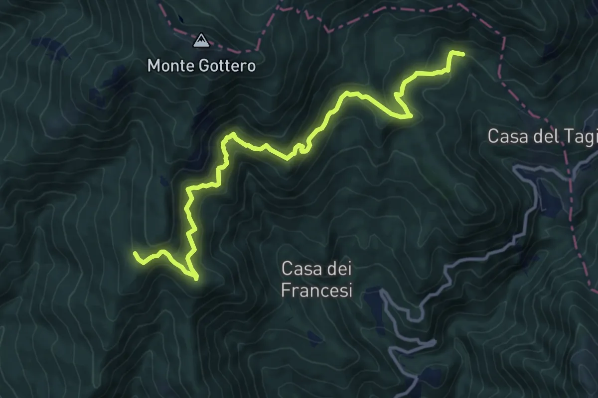
Demanding · Trail
Bivio AVML (Cardeia) - Casa Menage - Prato del Malone (Strada dei carrelli)
11.1 km · ↑ 853 m · 4 h 28 min · 15 km away
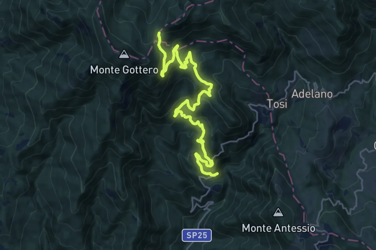
Demanding · Trail
Costa della Penna – Fontanafredda (Bivio 00/SI/E1)
18.1 km · ↑ 1163 m · 6 h 48 min · 15 km away
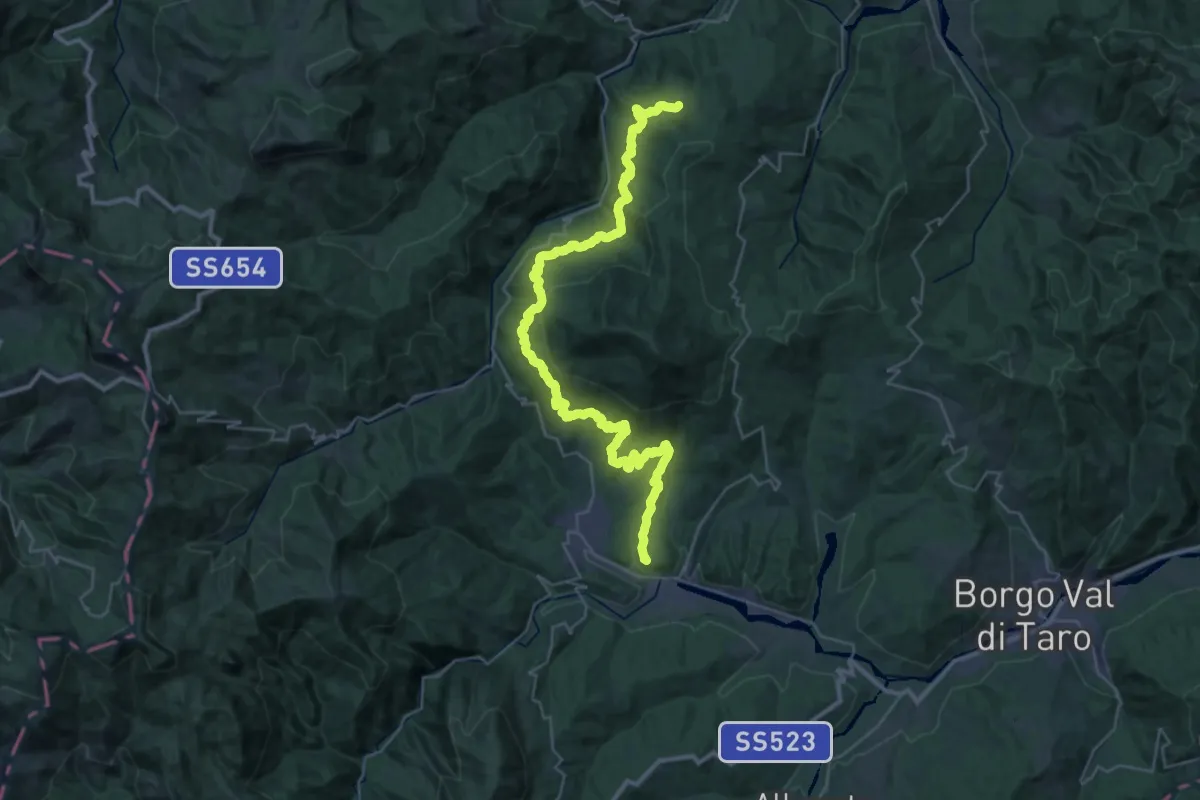
Demanding · Summit
Bedonia-Monti-Nociveglia-Masanti-Pilati
41.2 km · ↑ 1699 m · 13 h 25 min · 15 km away
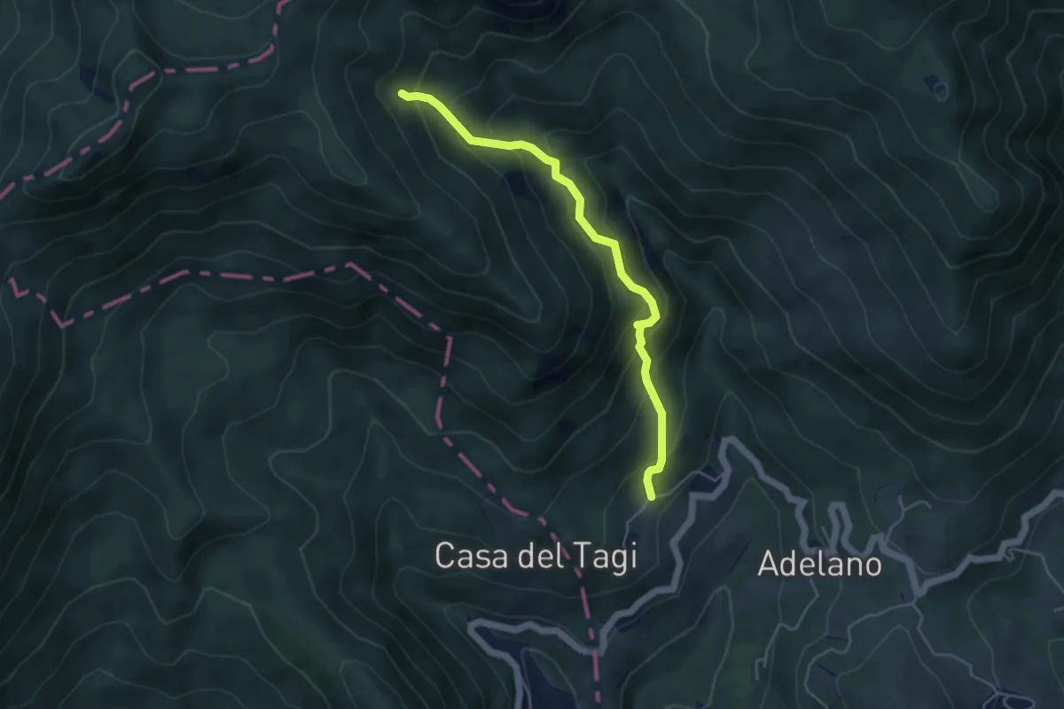
Medium · Trail
Case Maddalena - Foce Buscanca (Bivio SI)
4.6 km · ↑ 463 m · 2 h 5 min · 15 km away
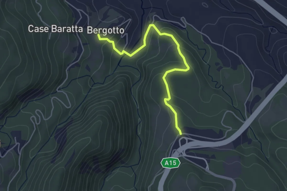
Easy · Trail
Cattaia – Bergotto
4.3 km · ↑ 173 m · 1 h 24 min · 15 km away
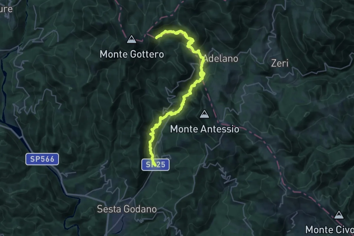
Medium · Trail
Casa Maestra - Giandì - Ponte Garolo - Costa dei Tosi - Fontana Fredda - Bivio AVML
12.6 km · ↑ 391 m · 4 h 27 min · 15 km away
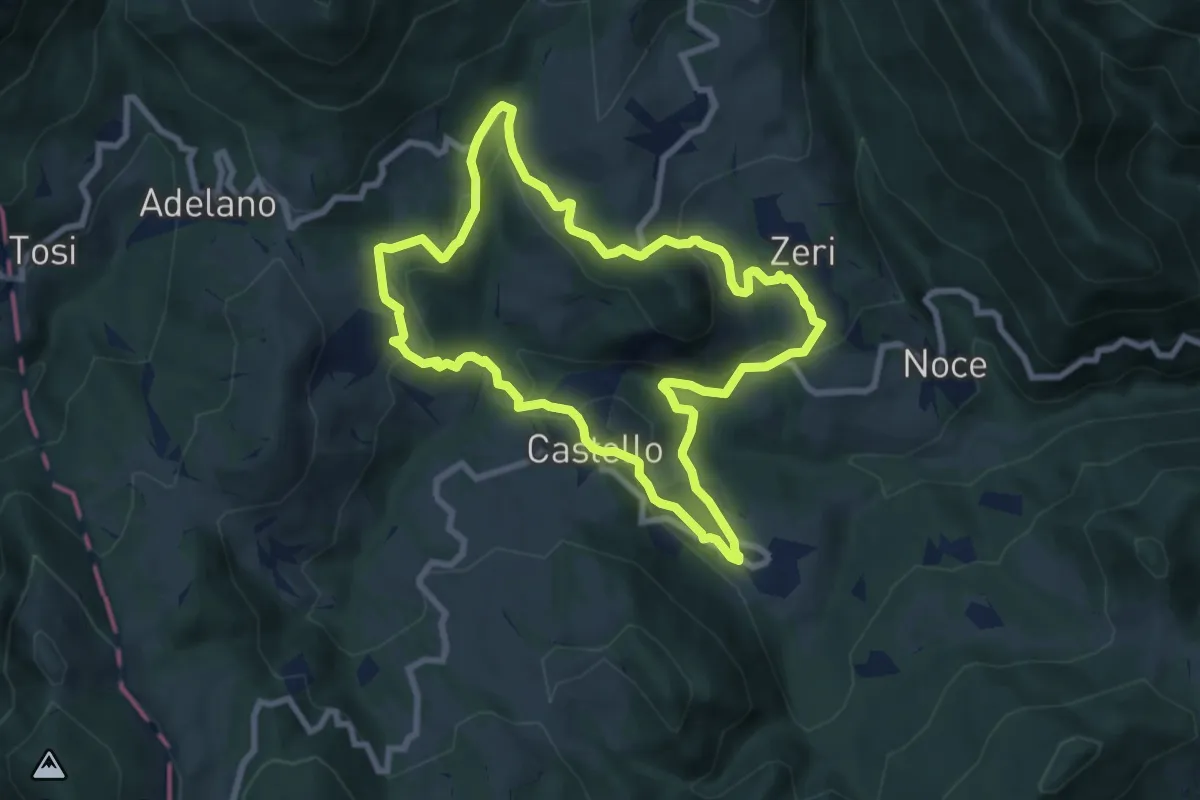
Medium · Trail
Zeri No 1
8.1 km · ↑ 334 m · 2 h 44 min · 15 km away
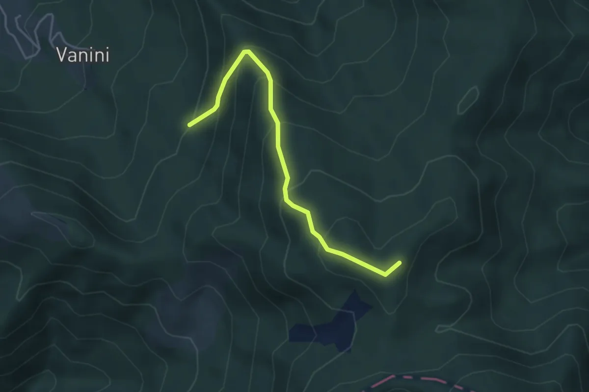
Easy · Trail
La Macchia – Percorso 855A
3.9 km · ↑ 319 m · 1 h 36 min · 15 km away
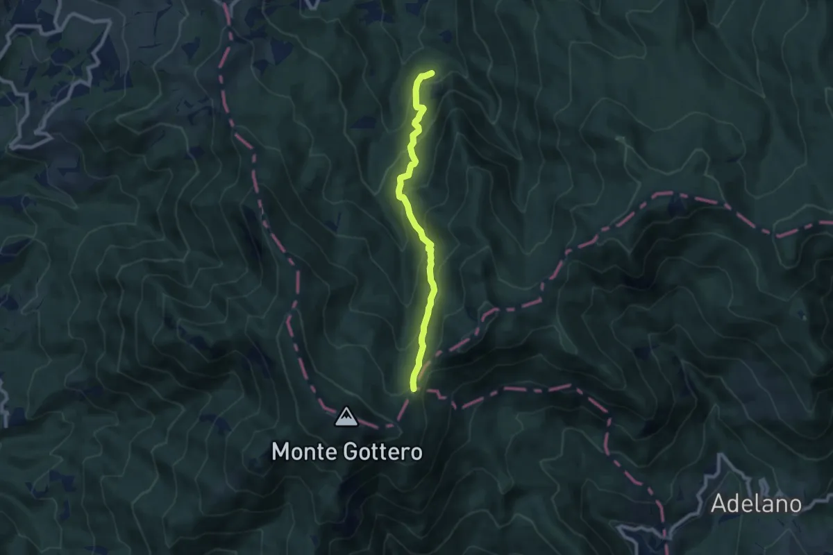
Medium · Trail
Zalloni - Foce dei Tre Confini
7.3 km · ↑ 550 m · 2 h 55 min · 15 km away
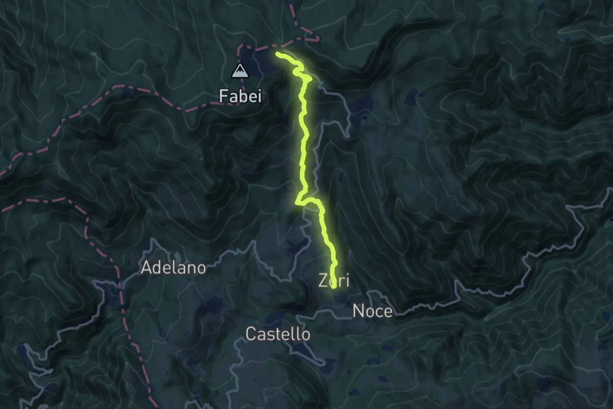
Medium · Cabin
E1 Toscana 01 Variante 1.2
10.7 km · ↑ 677 m · 4 h · 15 km away