Trails near Borgo Valsugana
126 hikes starting within 15 km, nearest first.
Nearest first, page 1 of 3
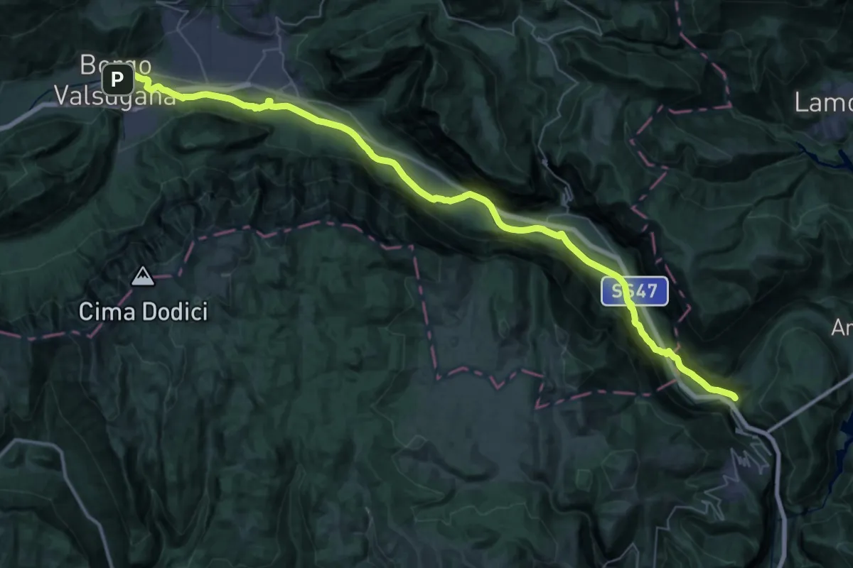
Demanding · Trail
Cammino del beato Enrico - Tappa 6
24.9 km · ↑ 110 m · 6 h 33 min · under 1 km away
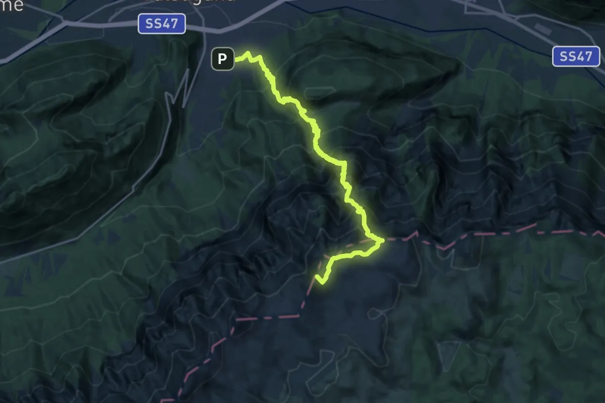
Demanding · Summit
Sentiero di Val Caldiera - Ortigara
18.0 km · ↑ 1922 m · 8 h 25 min · 2 km away
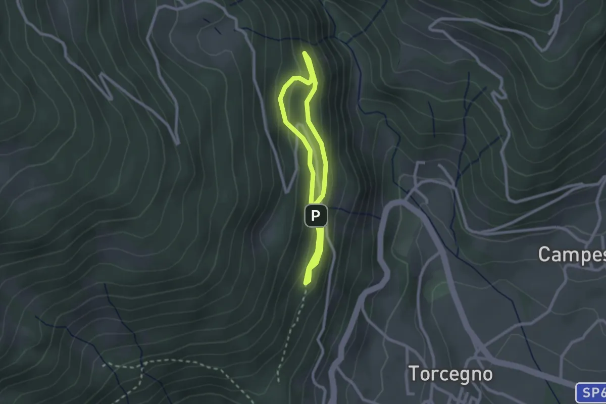
Easy · Trail
Sentiero naturalistico guardia caccia Franco Furlan
1.8 km · ↑ 107 m · 41 min · 3 km away
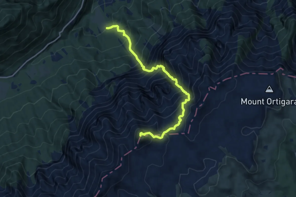
Demanding · Summit
Sentiero alpinistico del Vallon delle Trappole
10.7 km · ↑ 1639 m · 6 h 5 min · 4 km away
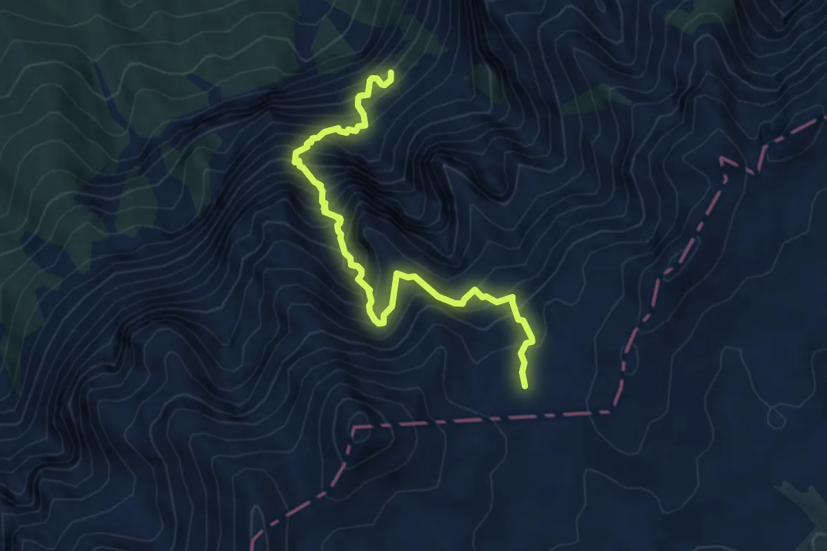
Demanding · Trail
Sentiero alpinistico attrezzato del Vallon delle Dodici
6.2 km · ↑ 1110 m · 3 h 52 min · 5 km away
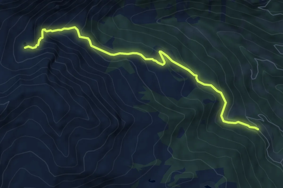
Medium · Cabin
Località Samona – Sette Laghi
8.1 km · ↑ 493 m · 2 h 59 min · 5 km away
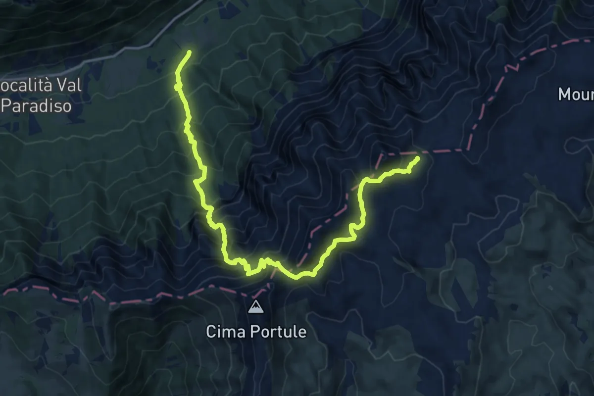
Demanding · Trail
Sella - ex ristorante al Cacciatore – La Forzelletta (bivio E211)
15.8 km · ↑ 1612 m · 7 h 14 min · 5 km away
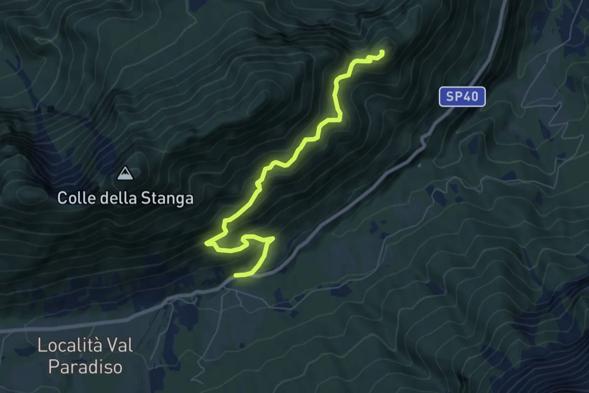
Medium · Summit
Sella - parcheggio ex Hotel Legno – Eremo di San Lorenzo al Monte
7.1 km · ↑ 601 m · 2 h 58 min · 5 km away
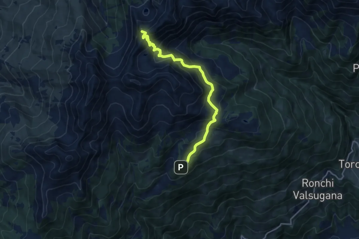
Demanding · Summit
Rifugio Serot (bivio 371 - 372B) – Passo del Lago (bivio 325 - 343)
11.9 km · ↑ 905 m · 4 h 47 min · 6 km away
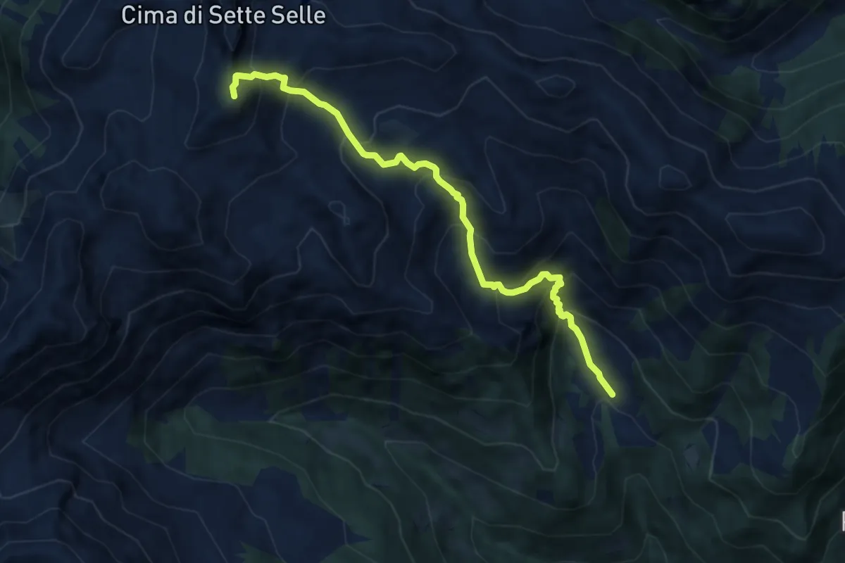
Demanding · Summit
Località Suerta – Presso Forcella di Sasso Rotto (bivio 343)
8.4 km · ↑ 879 m · 3 h 53 min · 6 km away
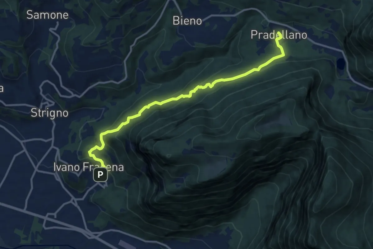
Medium · Trail
Sentiero Sorgente Acqua schiava
10.7 km · ↑ 612 m · 3 h 52 min · 6 km away
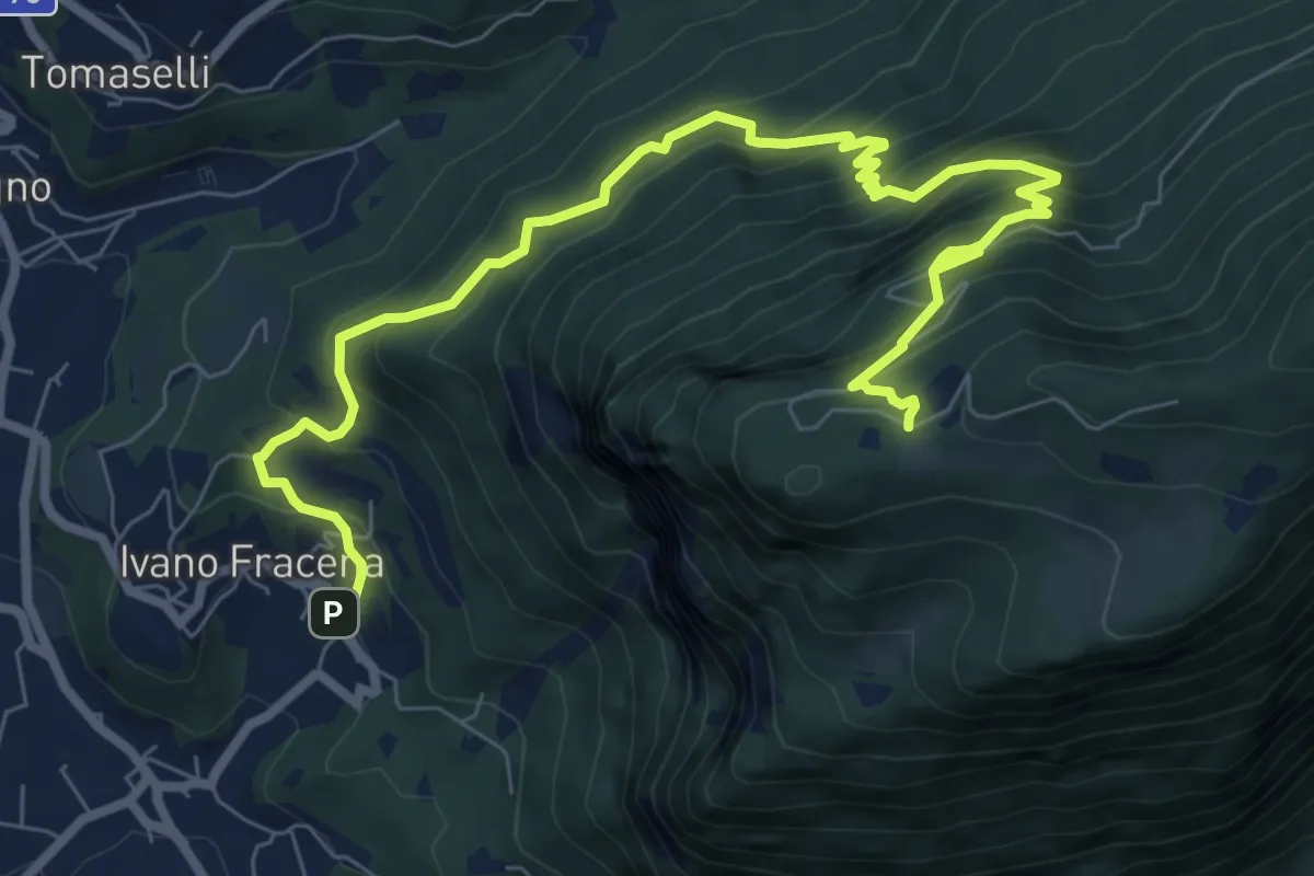
Demanding · Cabin
Sentiero Ravacene - Sorgente Acqua schiava
10.2 km · ↑ 955 m · 4 h 29 min · 6 km away
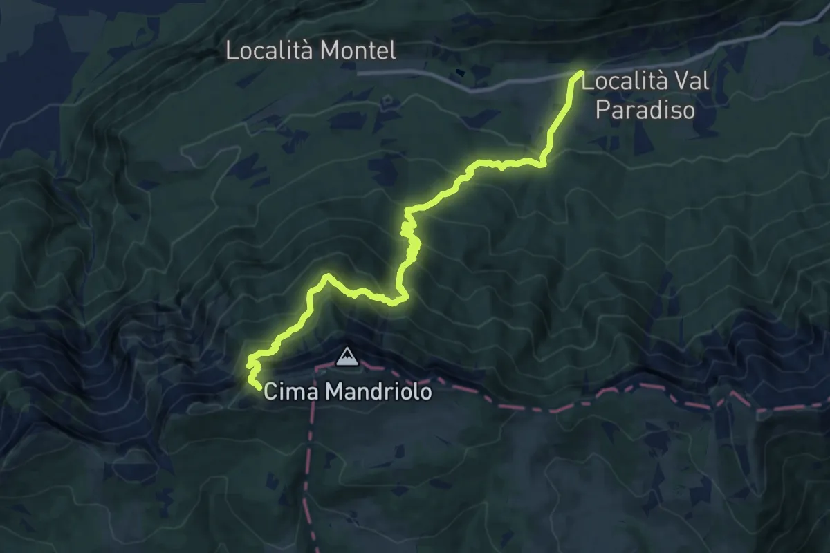
Expert · Trail
Via ferrata "Giuseppe Hippoliti"
12.4 km · ↑ 1120 m · 5 h 21 min · 7 km away
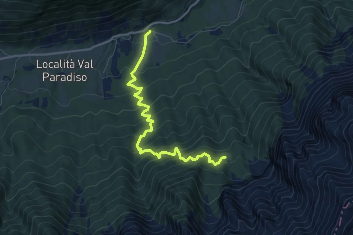
Medium · Trail
Sella - parcheggio ex Hotel Legno – Baite Lanzola
8.1 km · ↑ 793 m · 3 h 37 min · 7 km away
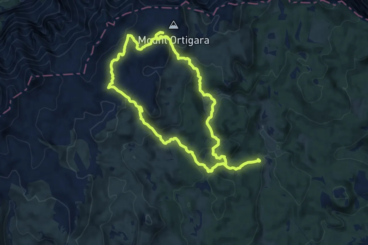
Medium · Summit
Monte Forno - Monte Campigoletti
12.6 km · ↑ 499 m · 4 h 14 min · 7 km away
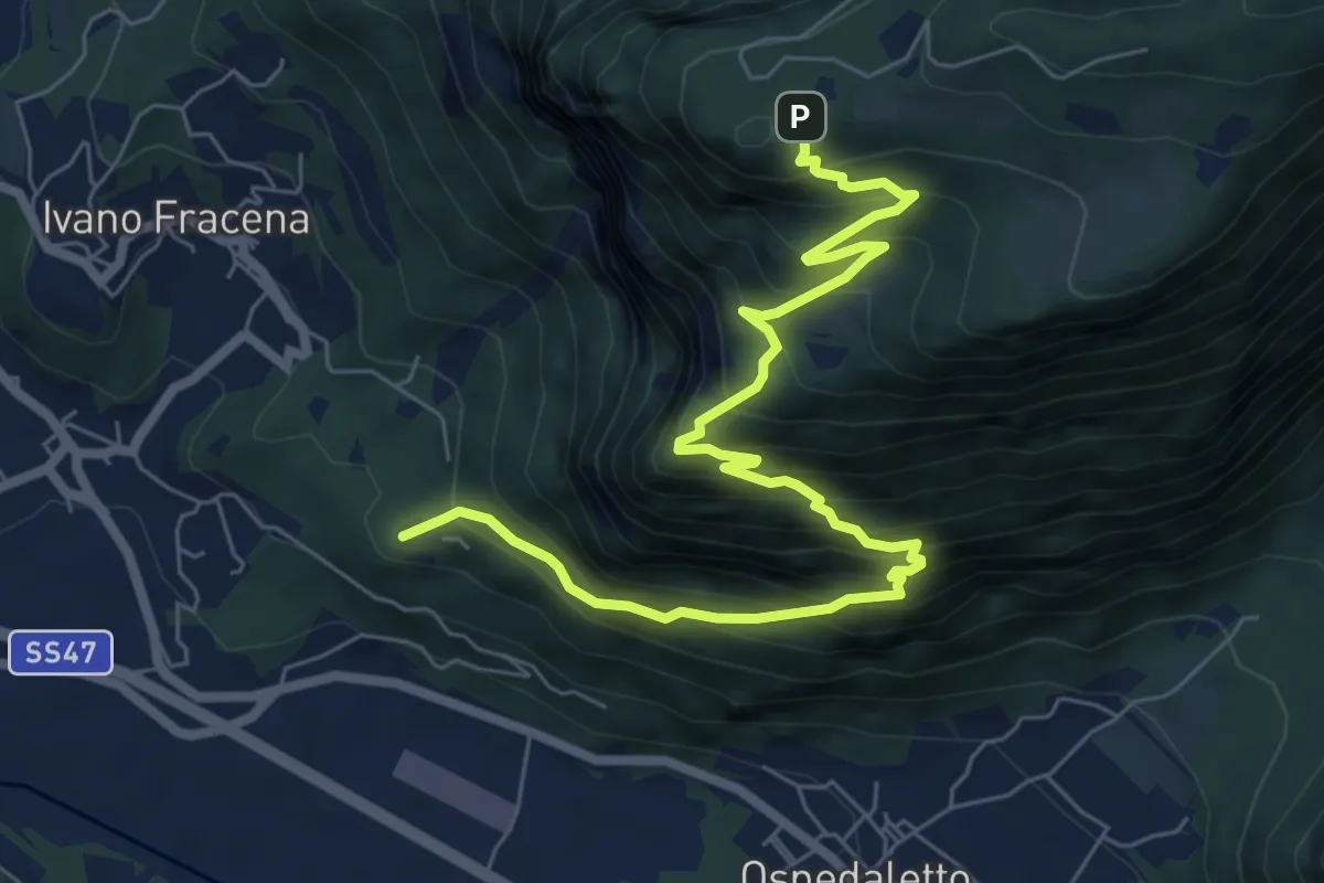
Demanding · Summit
Località Fracena – Presso Rifugio Monte Lefre (bivio 330)
8.4 km · ↑ 946 m · 4 h 1 min · 7 km away
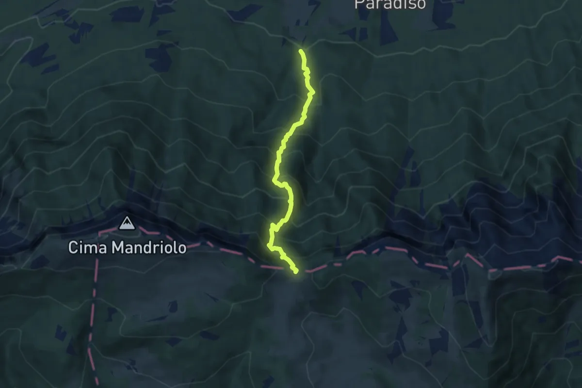
Demanding · Trail
Troso di Manazzo
5.9 km · ↑ 808 m · 3 h 8 min · 7 km away
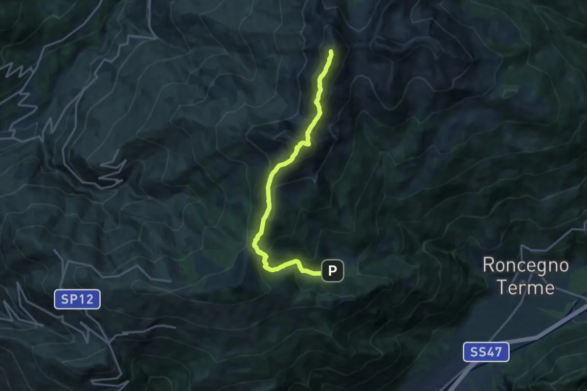
Demanding · Summit
Alta Via del Porfido - Tappa 4
14.0 km · ↑ 1314 m · 6 h 9 min · 8 km away
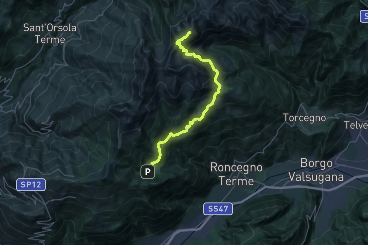
Demanding · Summit
Alta Via del Porfido - Tappa 3
21.6 km · ↑ 1581 m · 8 h 31 min · 8 km away
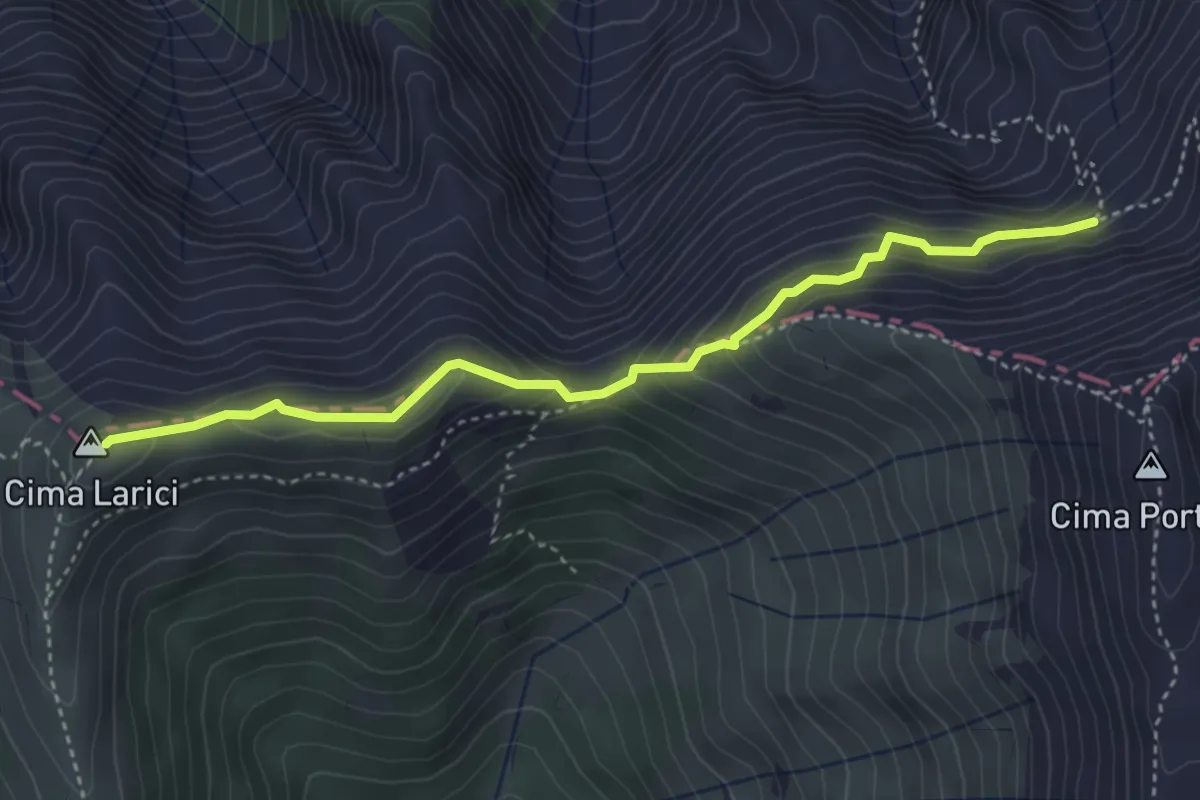
Medium · Summit
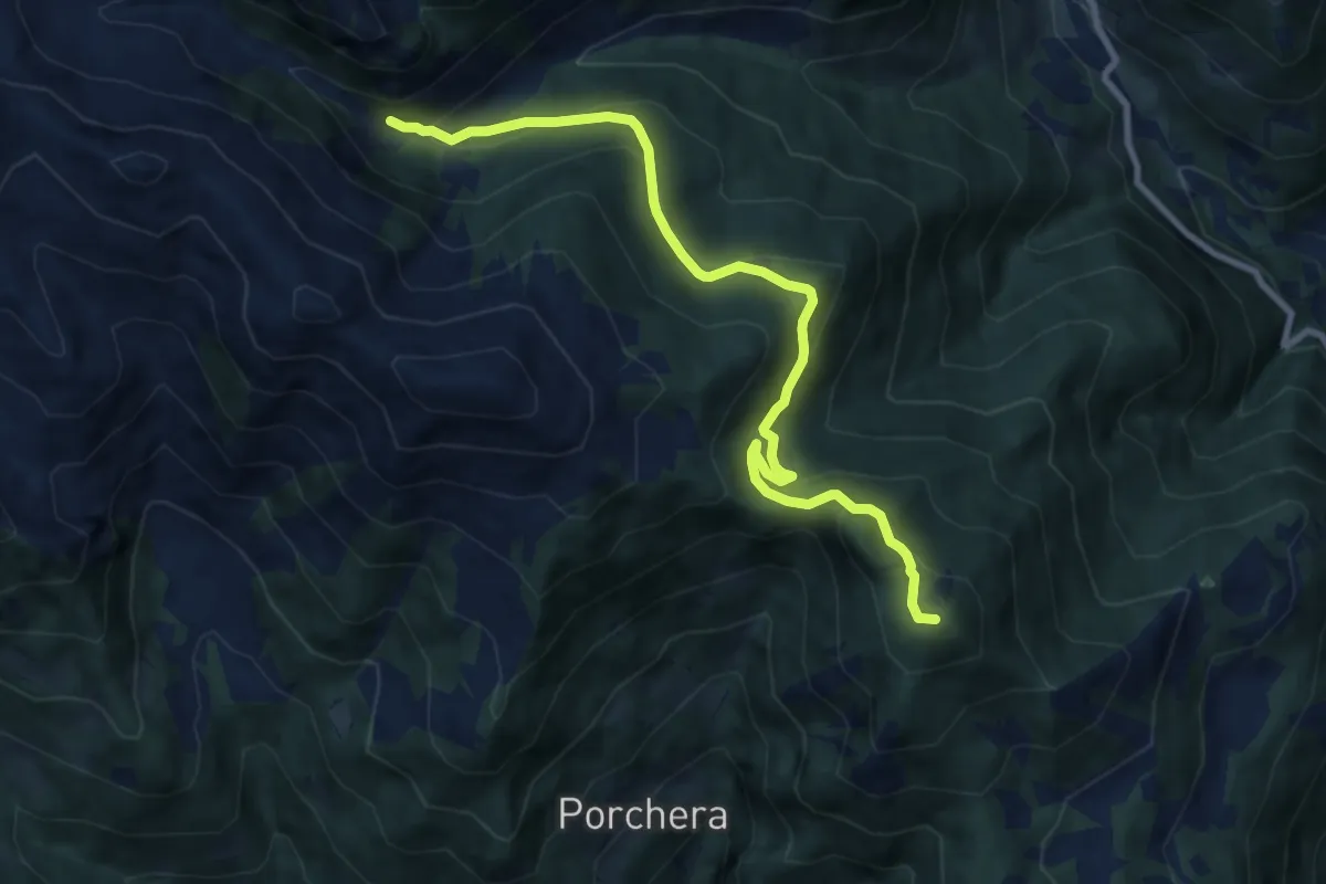
Porta Manazzo (bivio 204 - 205 - 220) – Busa del Kempel (bivio 208)
4.0 km · ↑ 324 m · 1 h 38 min · 8 km away
Medium · Summit
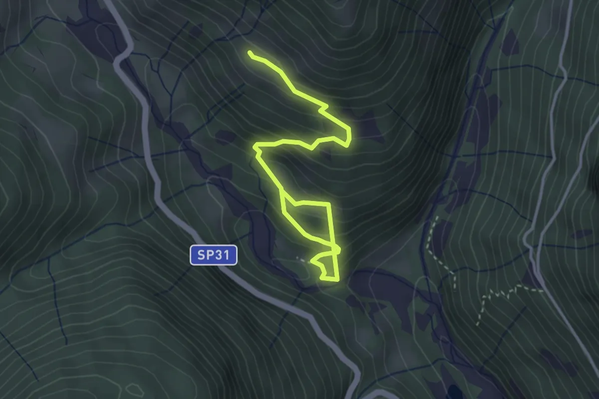
Sentiero di Spiado e Sentiero del Salubio
9.7 km · ↑ 490 m · 3 h 22 min · 8 km away
Medium · Trail
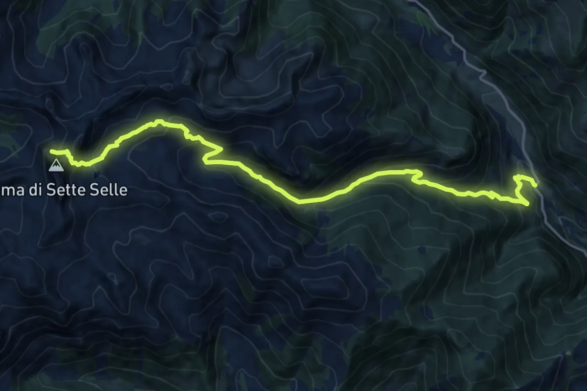
Sentiero del Legno
4.0 km · ↑ 371 m · 1 h 45 min · 8 km away
Demanding · Trail
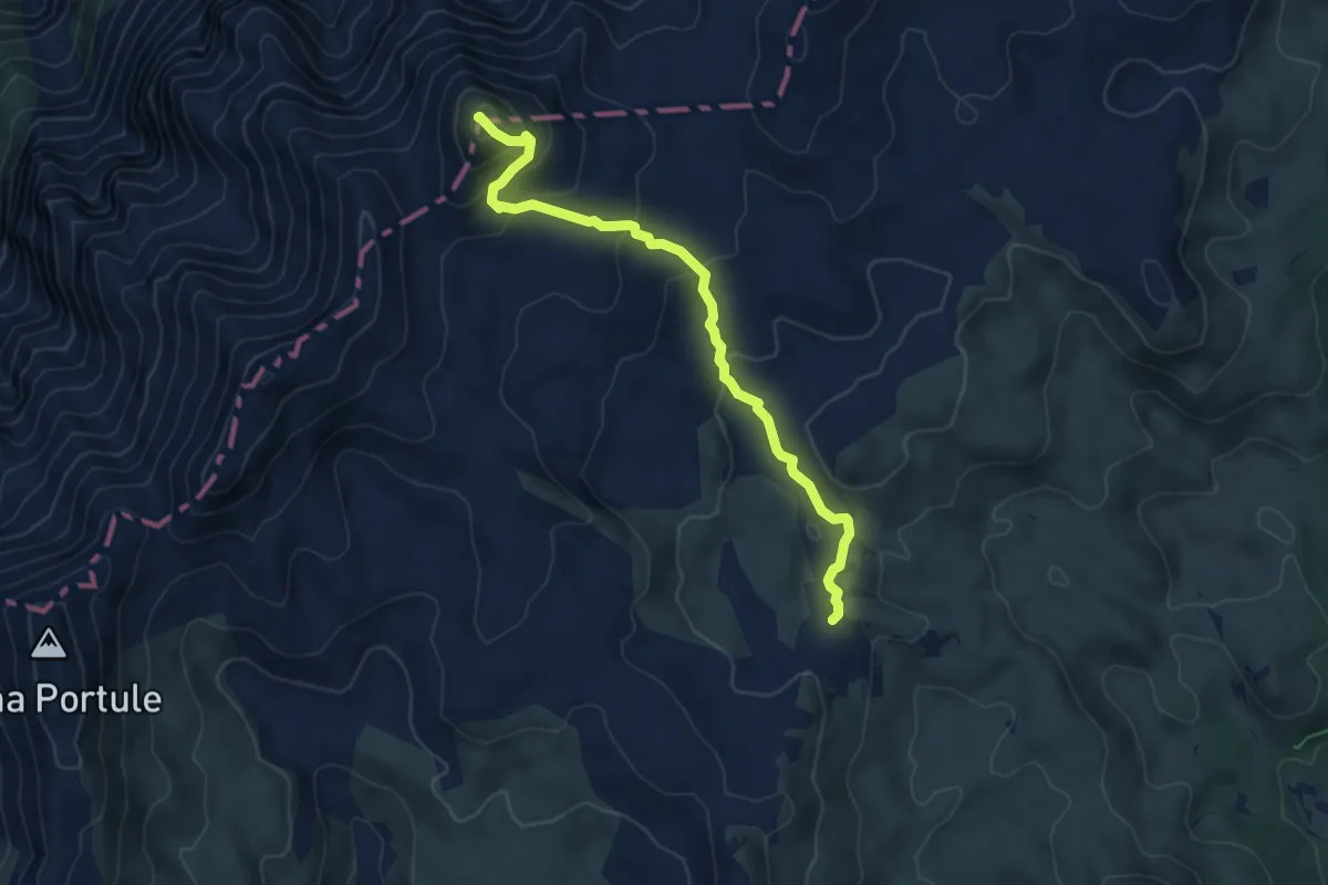
Località Ponte del Salton – Versante nord Cima Sette Selle (bivio 343)
17.6 km · ↑ 1325 m · 7 h 2 min · 8 km away
Demanding · Summit
Bivio Italia – Cima Dodici
6.2 km · ↑ 340 m · 2 h 12 min · 8 km away
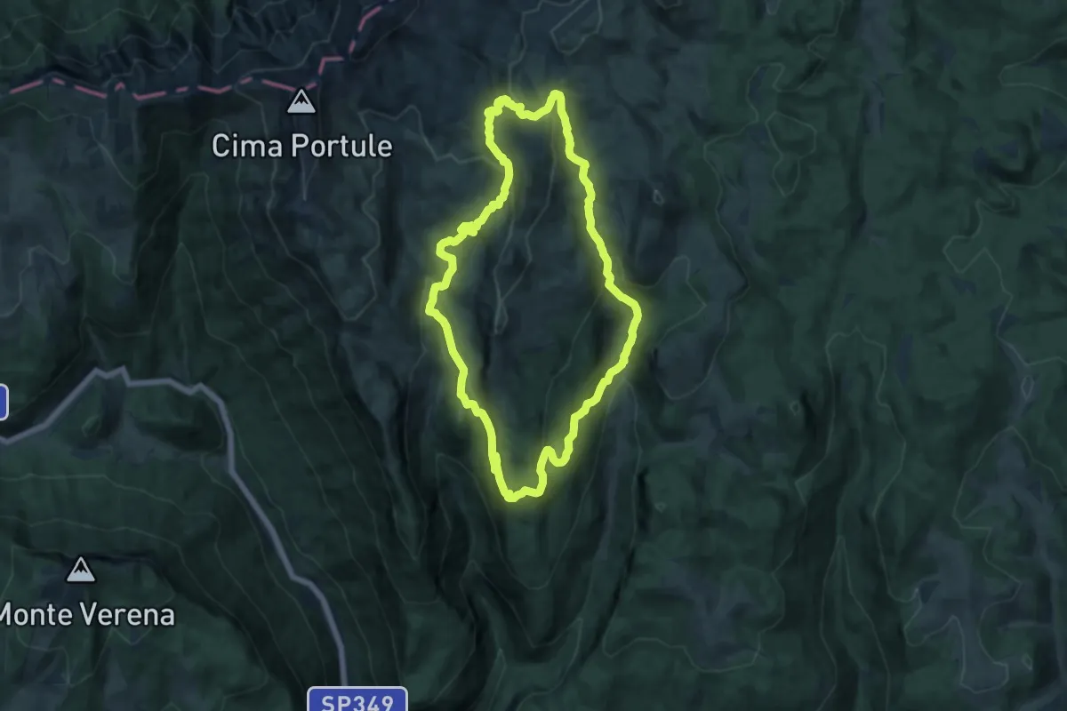
Medium · Summit
Malga Galmarara – Malga Galmarara
13.9 km · ↑ 605 m · 4 h 48 min · 8 km away
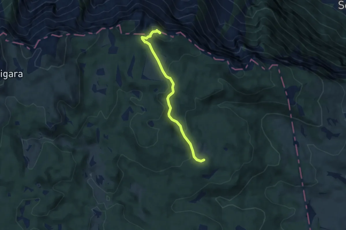
Medium · Trail
I Piccoli Maestri
6.7 km · ↑ 271 m · 2 h 10 min · 8 km away
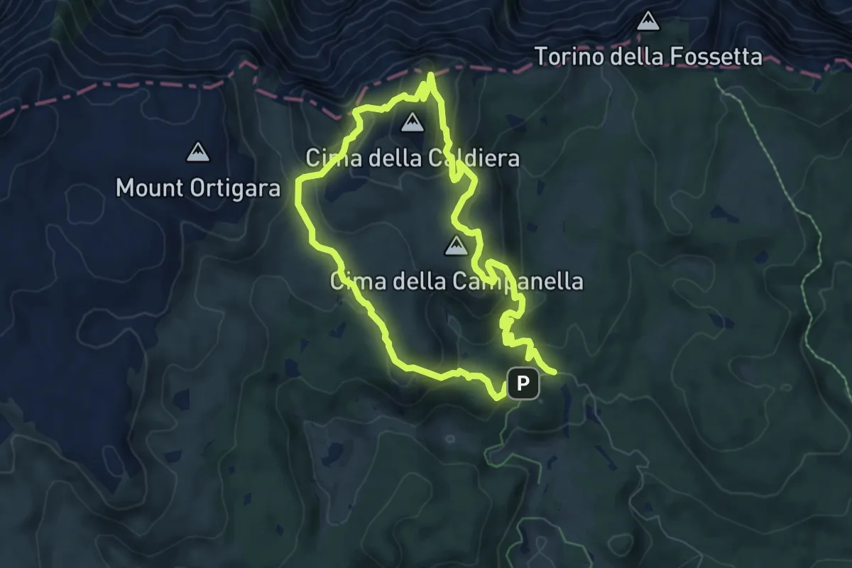
Medium · Summit
Caldiera
6.4 km · ↑ 338 m · 2 h 21 min · 9 km away
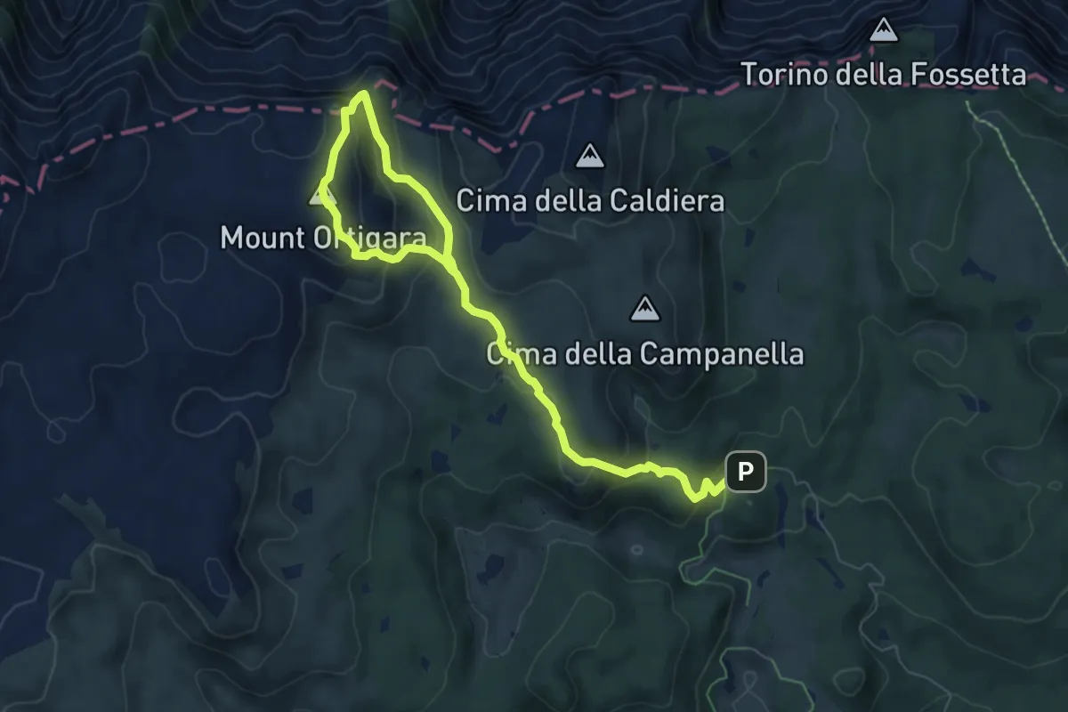
Medium · Summit
Monte Ortigara
4.4 km · ↑ 339 m · 1 h 45 min · 9 km away
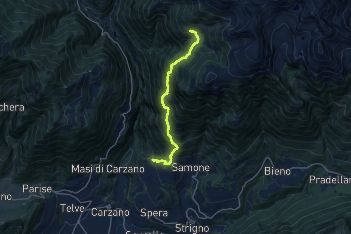
Demanding · Trail
Trodo dei Salti
10.7 km · ↑ 1095 m · 4 h 54 min · 9 km away
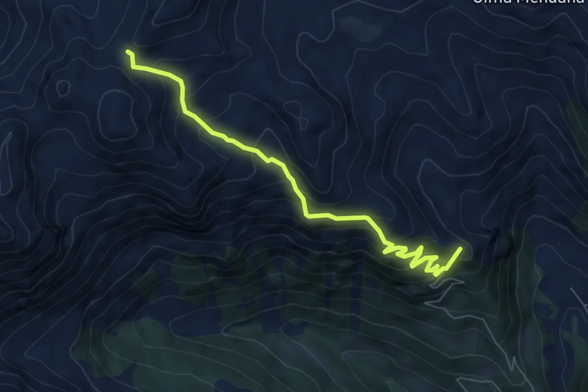
Medium · Summit
Stalon – Forcella delle Conelle - Sensattel (bivio 343)
6.9 km · ↑ 590 m · 2 h 54 min · 9 km away
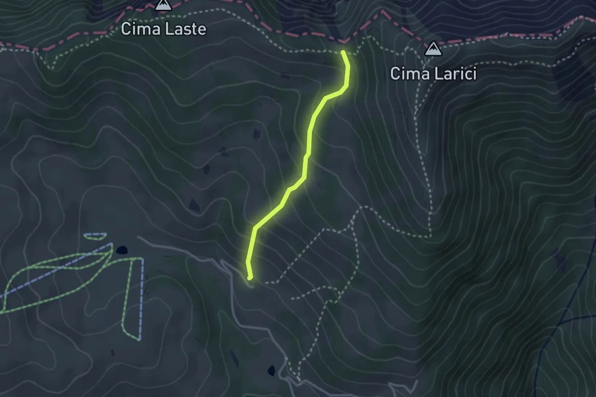
Medium · Cabin
Larici
2.3 km · ↑ 202 m · 59 min · 9 km away
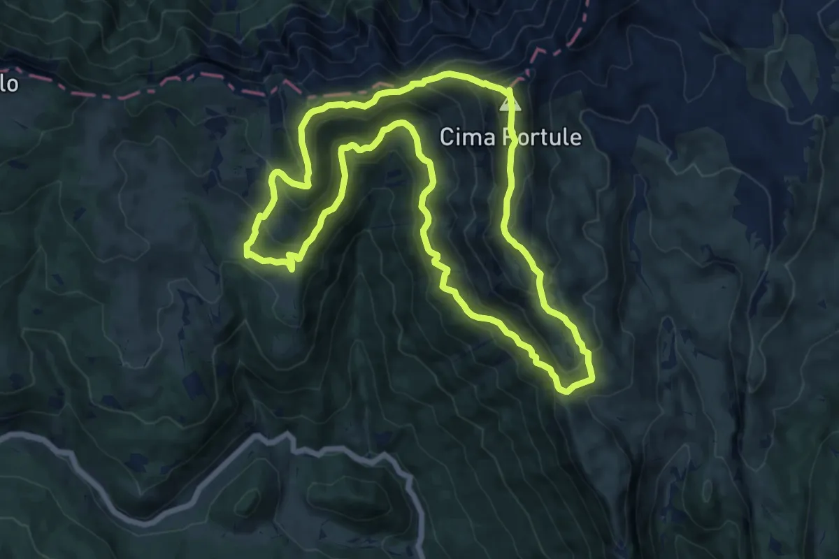
Demanding · Summit
Portule
13.5 km · ↑ 942 m · 5 h 25 min · 9 km away
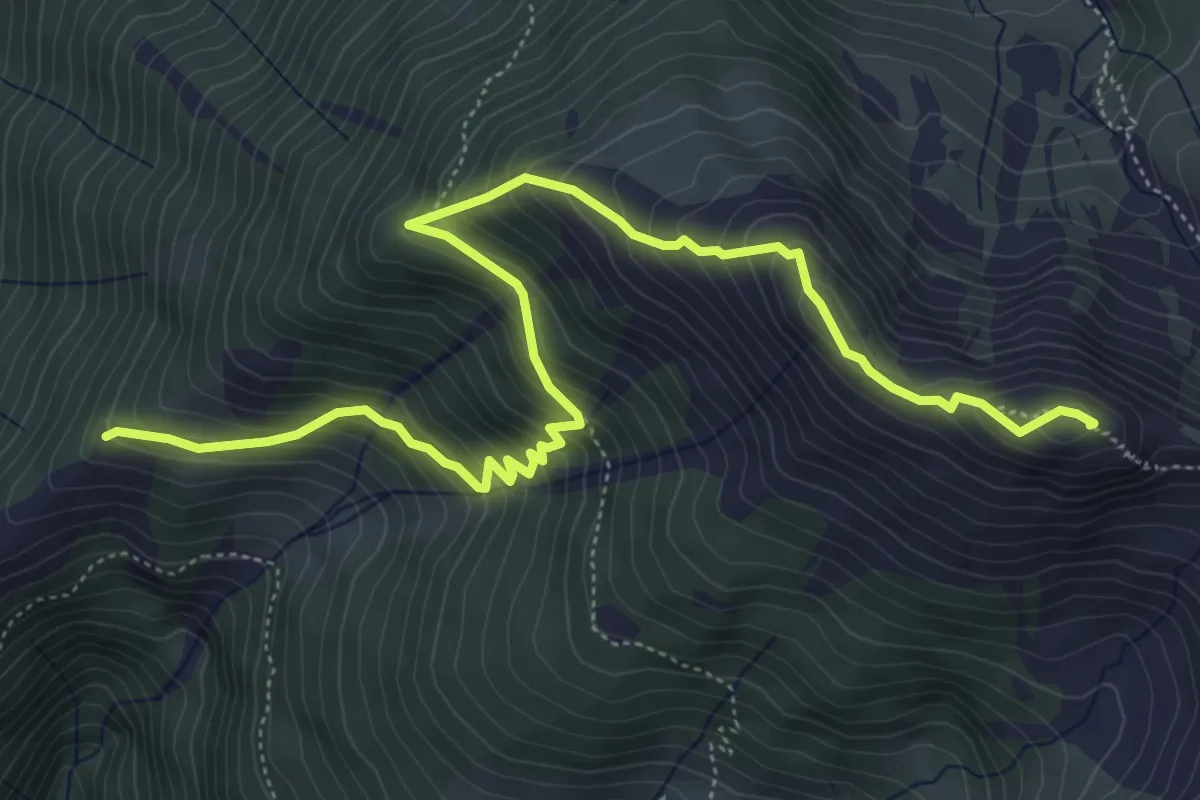
Medium · Summit
Sentiero della Memoria
6.9 km · ↑ 626 m · 2 h 59 min · 9 km away
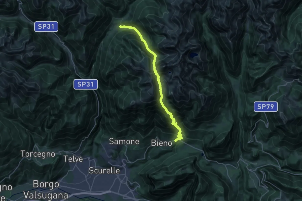
Demanding · Trail
Sentiero di Rava e di Caldenave
11.7 km · ↑ 1395 m · 5 h 43 min · 9 km away
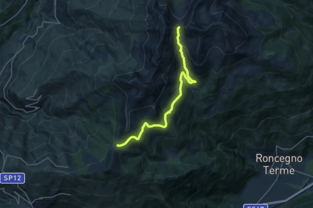
Demanding · Trail
Alta Via del Porfido - Tappa 4 variante Malga Prese - Val Portela
14.3 km · ↑ 807 m · 5 h 7 min · 9 km away
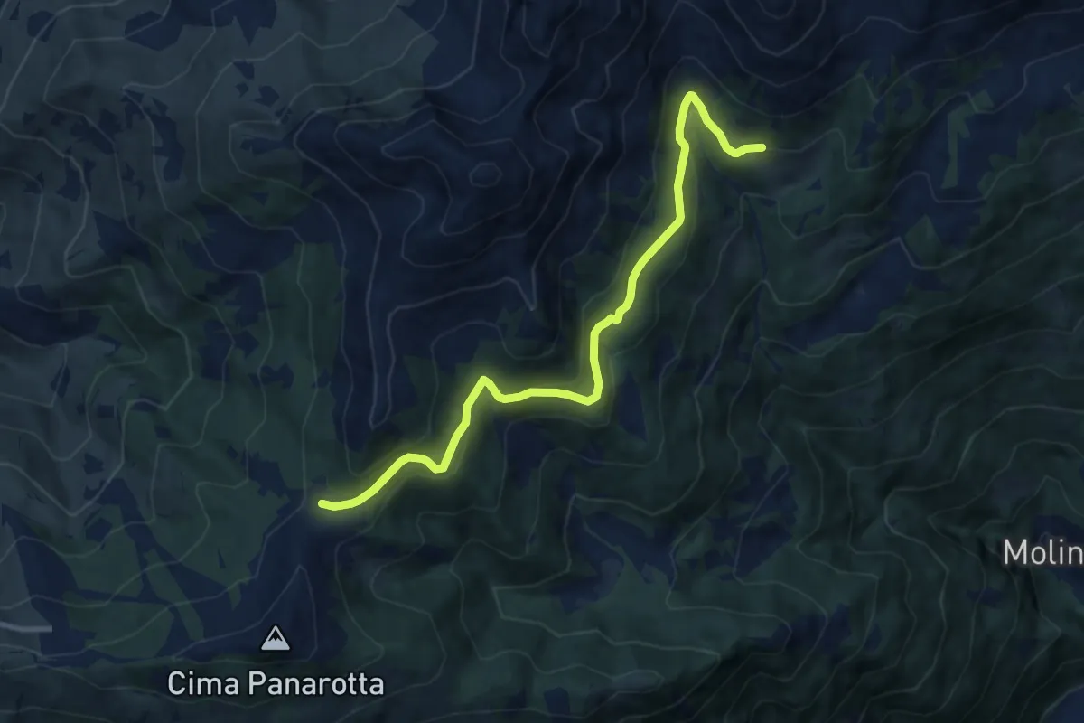
Medium · Trail
Presso Malga Prese (bivio 371) – La Bassa (bivio 325 - 372B)
10.0 km · ↑ 380 m · 3 h 11 min · 9 km away
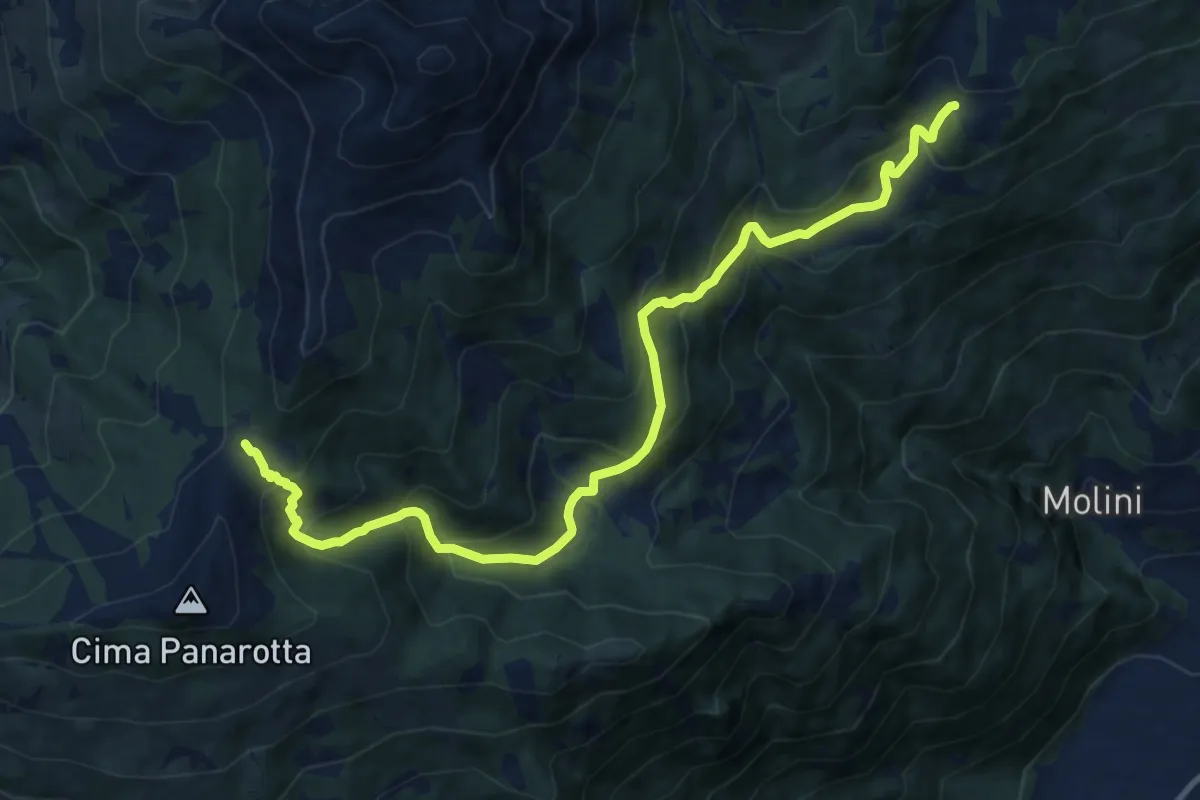
Demanding · Cabin
La Bassa – Rifugio Seròt
12.6 km · ↑ 1004 m · 5 h 9 min · 9 km away
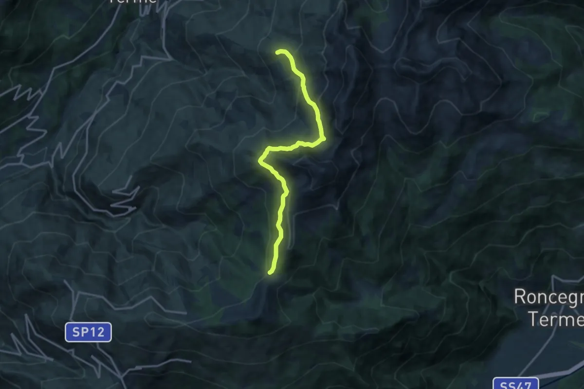
Medium · Trail
Prati Imperiali - Caservisen – La Bassa
12.3 km · ↑ 778 m · 4 h 35 min · 9 km away
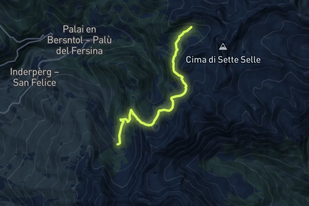
Demanding · Trail
Valcava - Baita Balkofhitt – Indertol (bivio 343)
10.8 km · ↑ 834 m · 4 h 21 min · 9 km away
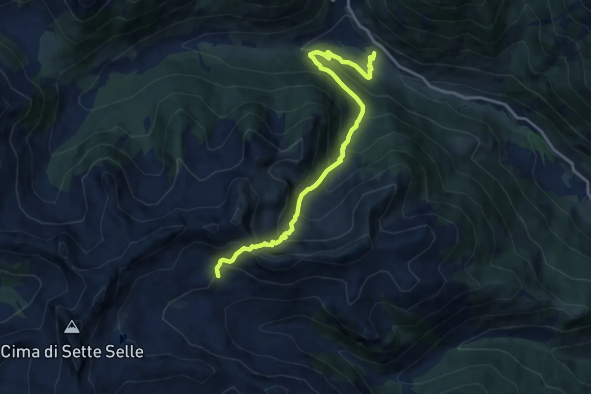
Medium · Trail
Sentiero natura dell'Oasi di Valtrigona
9.3 km · ↑ 798 m · 3 h 56 min · 9 km away
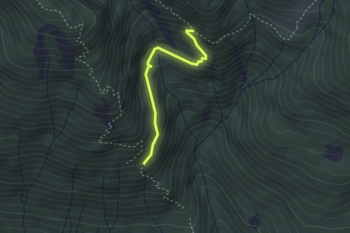
Easy · Trail
Capitello di Sant'Antonio (bivio 332) – Capitello della Maria Fiore (bivio 365)
2.4 km · ↑ 239 m · 1 h 5 min · 9 km away
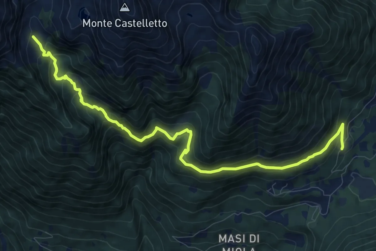
Medium · Trail
Spiado – Malga Ravetta di sotto (bivio 332)
11.9 km · ↑ 764 m · 4 h 28 min · 10 km away
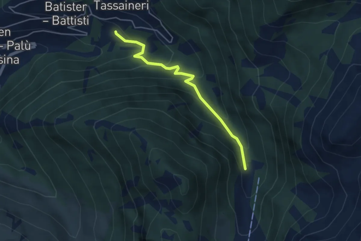
Easy · Trail
Presso Understoll - Palù del Fèrsina (bivio 325) – Presso Maso Lenzi (bivio 325)
3.6 km · ↑ 258 m · 1 h 24 min · 10 km away
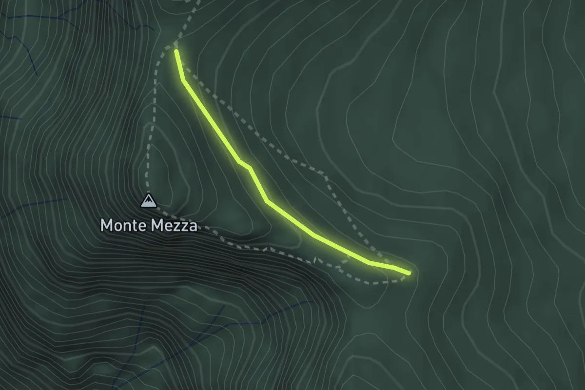
Easy · Summit
Strada Forestale (bivio 397) – La Forzeleta (bivio 395 - 397)
1.8 km · ↑ 87 m · 37 min · 10 km away
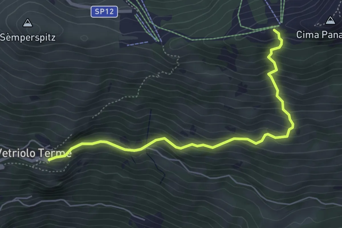
Medium · Trail
Vetriolo - Piazzale delle Terme – Cresta o Cima Panarotta (bivio 308)
5.5 km · ↑ 482 m · 2 h 20 min · 10 km away
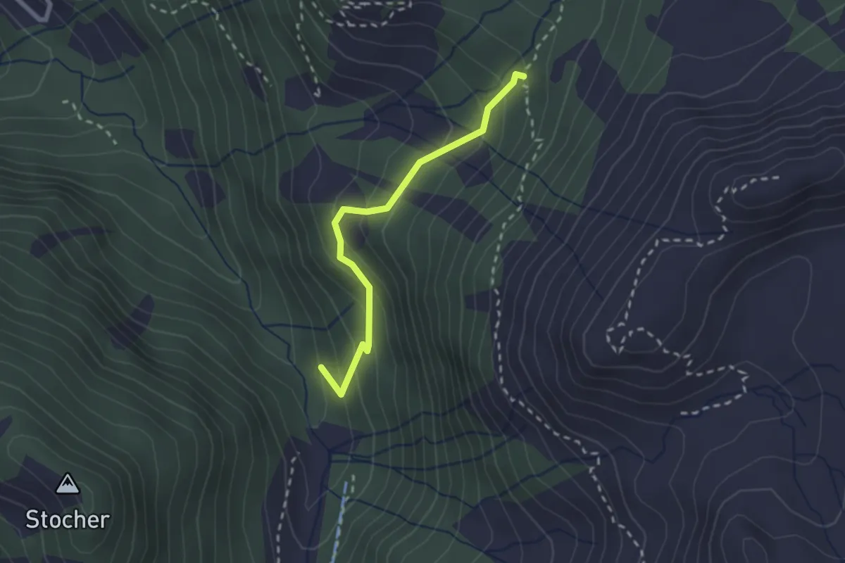
Medium · Trail
Bivio miniera - Grua Hardimbl (bivio 325) – Indertol (bivio 324)
2.2 km · ↑ 215 m · 59 min · 10 km away
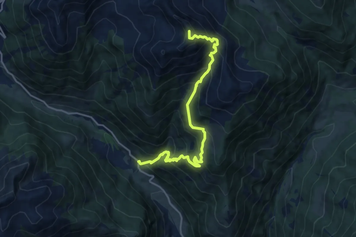
Demanding · Summit
Calamento - bivio strada Malga Cere – Cresta Sud del Monte Valpiana
11.6 km · ↑ 1139 m · 5 h 12 min · 10 km away
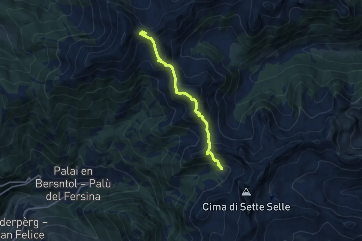
Medium · Summit
Rifugio Sprugio "Giovanni Tonini" (bivio 443 - 468) – Rifugio Sette Selle (bivio 343)
8.3 km · ↑ 726 m · 3 h 32 min · 10 km away