Trails near Borgo Valsugana
126 hikes starting within 15 km, nearest first.
Nearest first, page 2 of 3
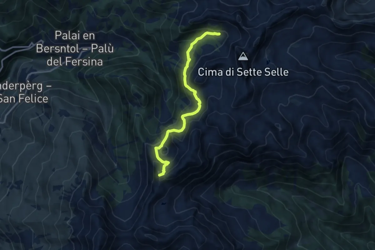
Medium · Summit
TransLagorai - Tappa 1 variante Erdemolo
9.3 km · ↑ 710 m · 3 h 44 min · 10 km away
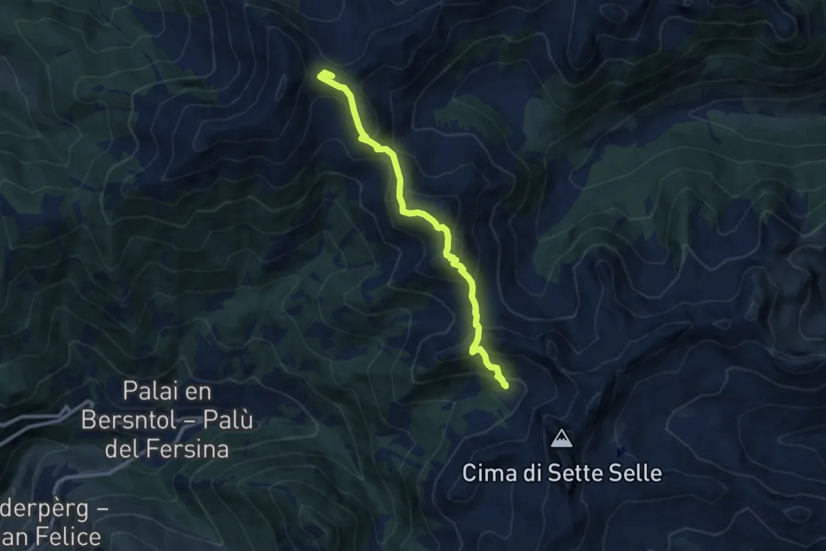
Medium · Summit
Alta Via del Porfido - Tappa 2
8.3 km · ↑ 726 m · 3 h 32 min · 10 km away
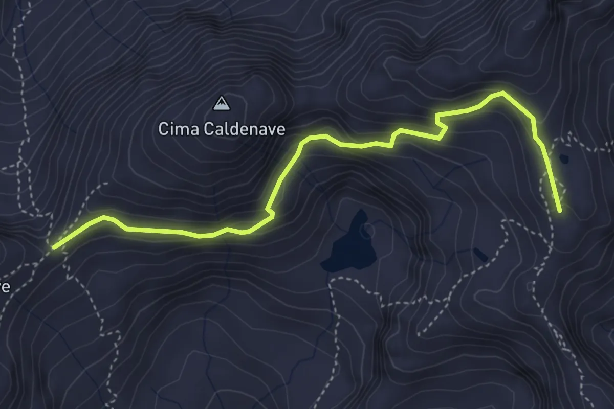
Medium · Summit
Forcella Ravetta (bivio 332 - 333) – Forzelon de Rava (bivio 328)
4.4 km · ↑ 323 m · 1 h 44 min · 10 km away
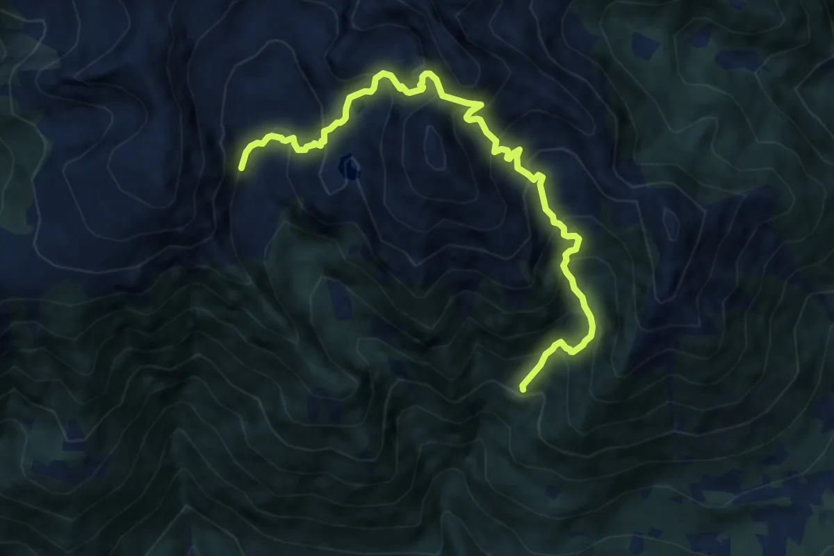
Demanding · Trail
Presso Malga Fierollo di sotto (bivio 365) – Val di Rava (bivio 332)
10.7 km · ↑ 1143 m · 5 h · 11 km away
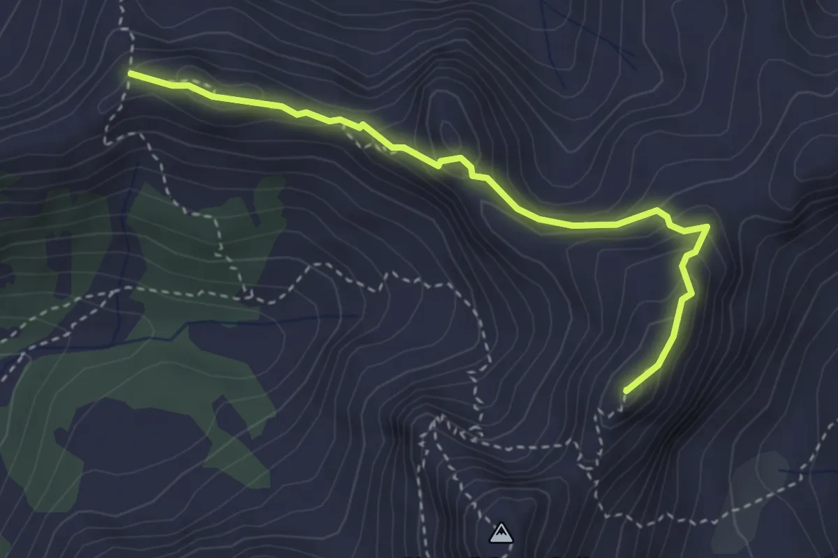
Expert · Summit
Sentiero del centenario "Delio Pace"
3.4 km · ↑ 274 m · 1 h 24 min · 11 km away
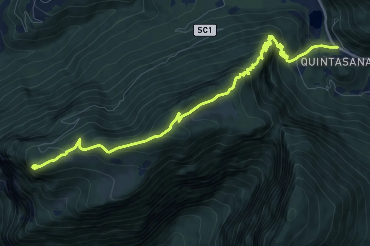
Medium · Summit
Passo Forcella – Monte Lefre
10.8 km · ↑ 716 m · 4 h 6 min · 11 km away
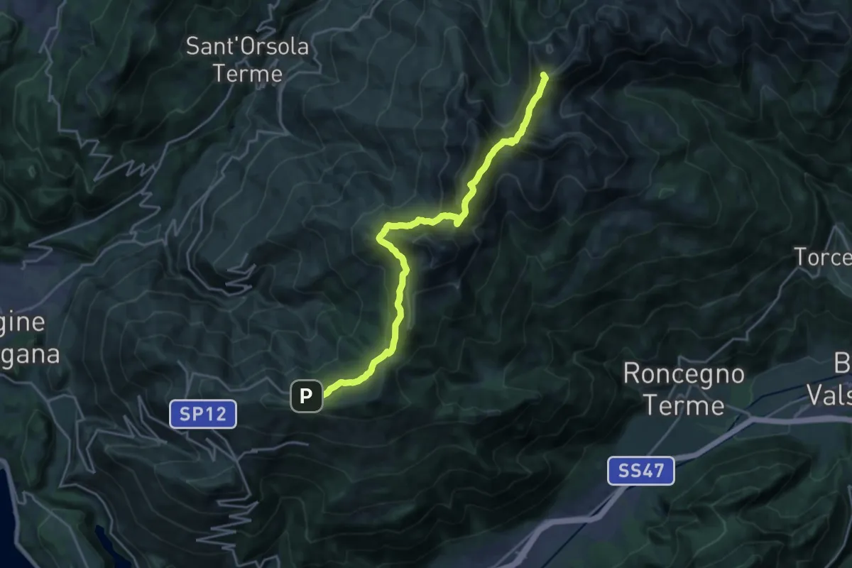
Demanding · Summit
Presso Battisti - Palù del Fèrsina (bivio 370) – Ristorante Panarotta (bivio 313)
20.1 km · ↑ 1194 m · 7 h 19 min · 11 km away
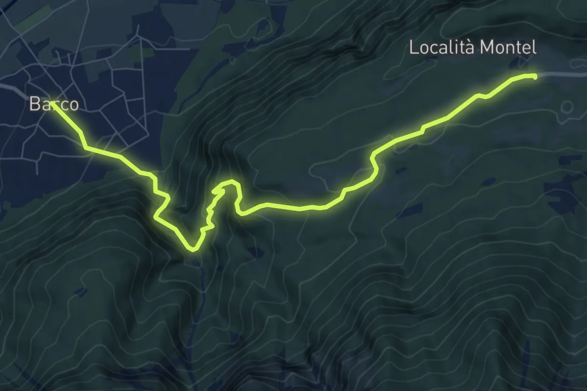
Medium · Trail
Barco – Sella - parcheggio presso ristorante Carlon
10.3 km · ↑ 647 m · 3 h 50 min · 11 km away
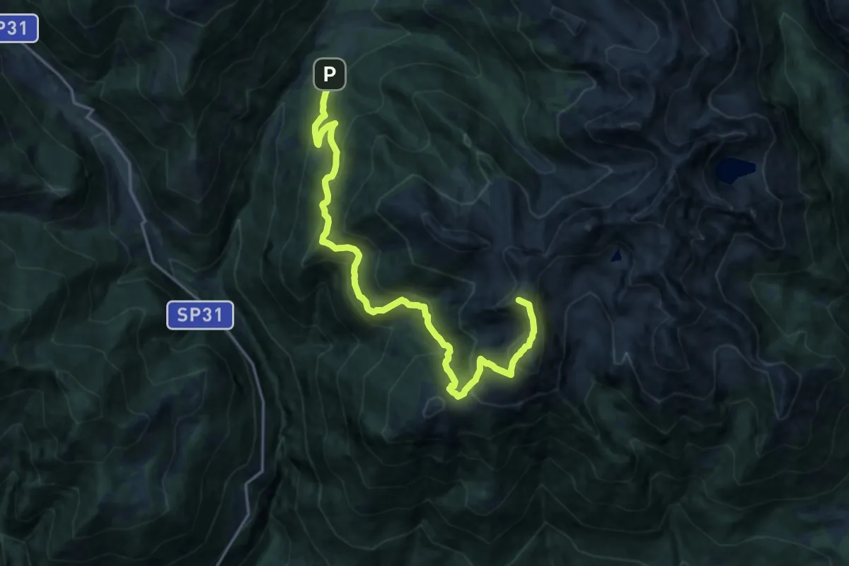
Demanding · Summit
Cenon di sotto - Ponte delle Rudole – Forcella Ravetta (bivio 332 - 332B)
18.1 km · ↑ 1301 m · 7 h 5 min · 11 km away
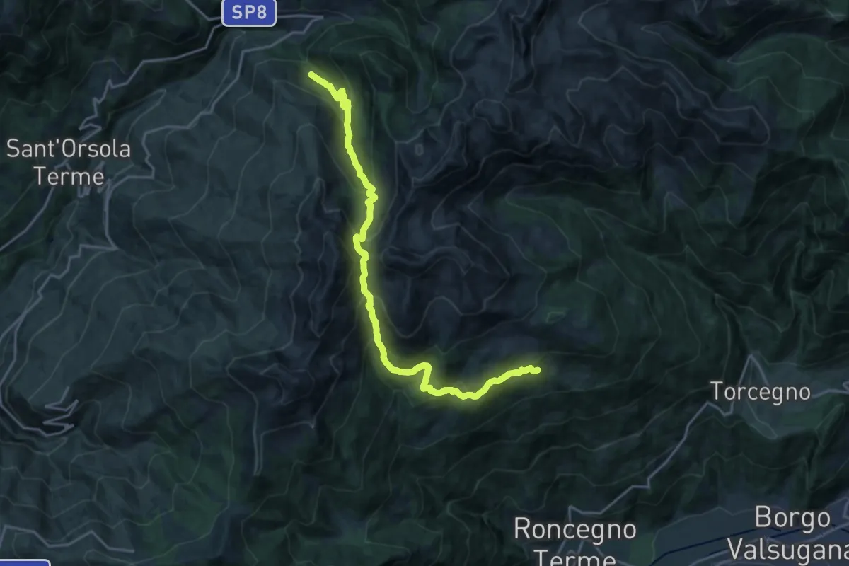
Demanding · Trail
Desene di sopra – Presso Sasso dei Cacciatori
19.0 km · ↑ 1432 m · 7 h 35 min · 11 km away
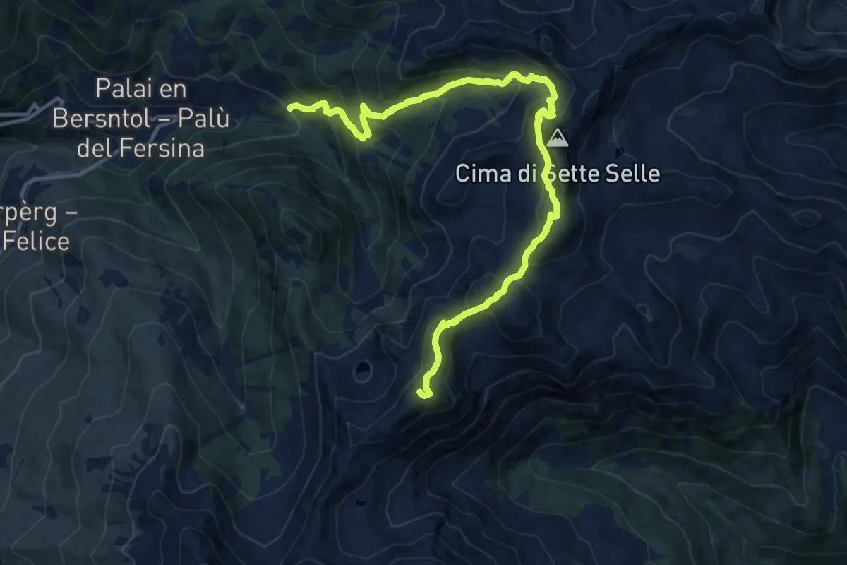
Demanding · Summit
Frotten - Palù del Fersina (bivio 325) – Passo del lago (bivio 323 - 325)
13.6 km · ↑ 1242 m · 5 h 54 min · 11 km away
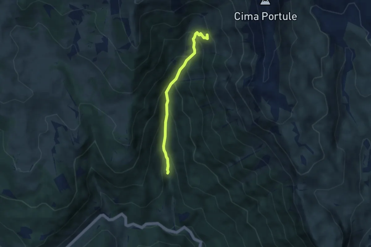
Medium · Trail
Primo Tornamte SP329 per Larici – Alta Val Renzola innesto sentiero 826
5.0 km · ↑ 520 m · 2 h 18 min · 11 km away
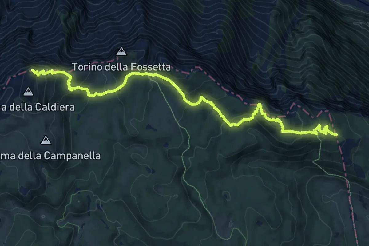
Medium · Summit
Castelloni di San Marco - Caldiera
12.5 km · ↑ 633 m · 4 h 20 min · 11 km away
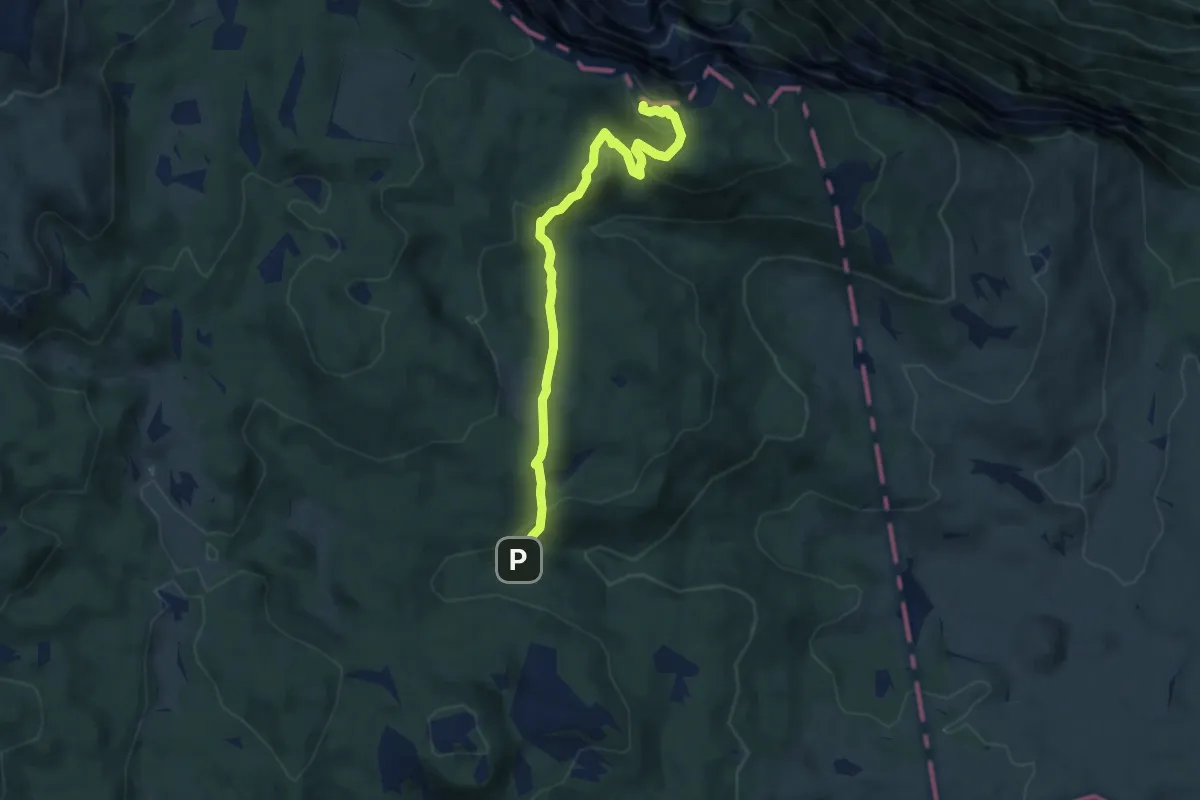
Medium · Summit
Castelloni di San Marco
7.5 km · ↑ 335 m · 2 h 30 min · 11 km away
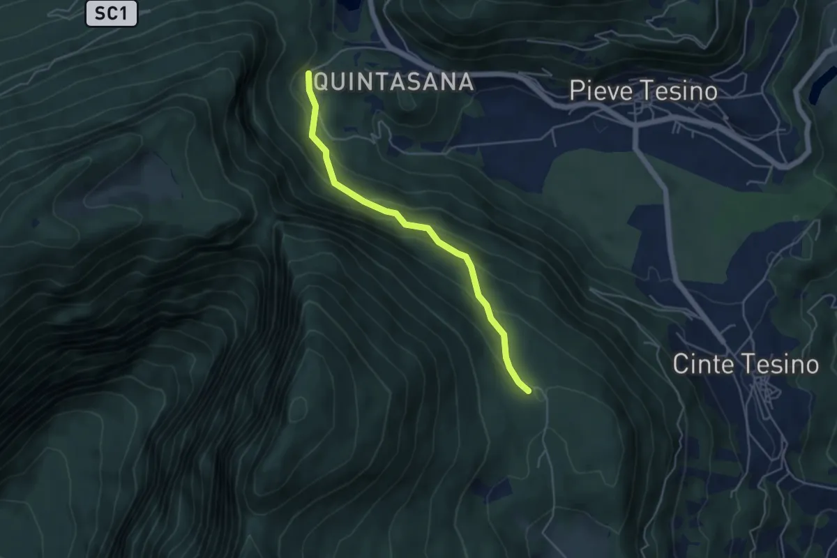
Easy · Trail
Drio Castello – Pra Castellana
4.3 km · ↑ 301 m · 1 h 41 min · 11 km away
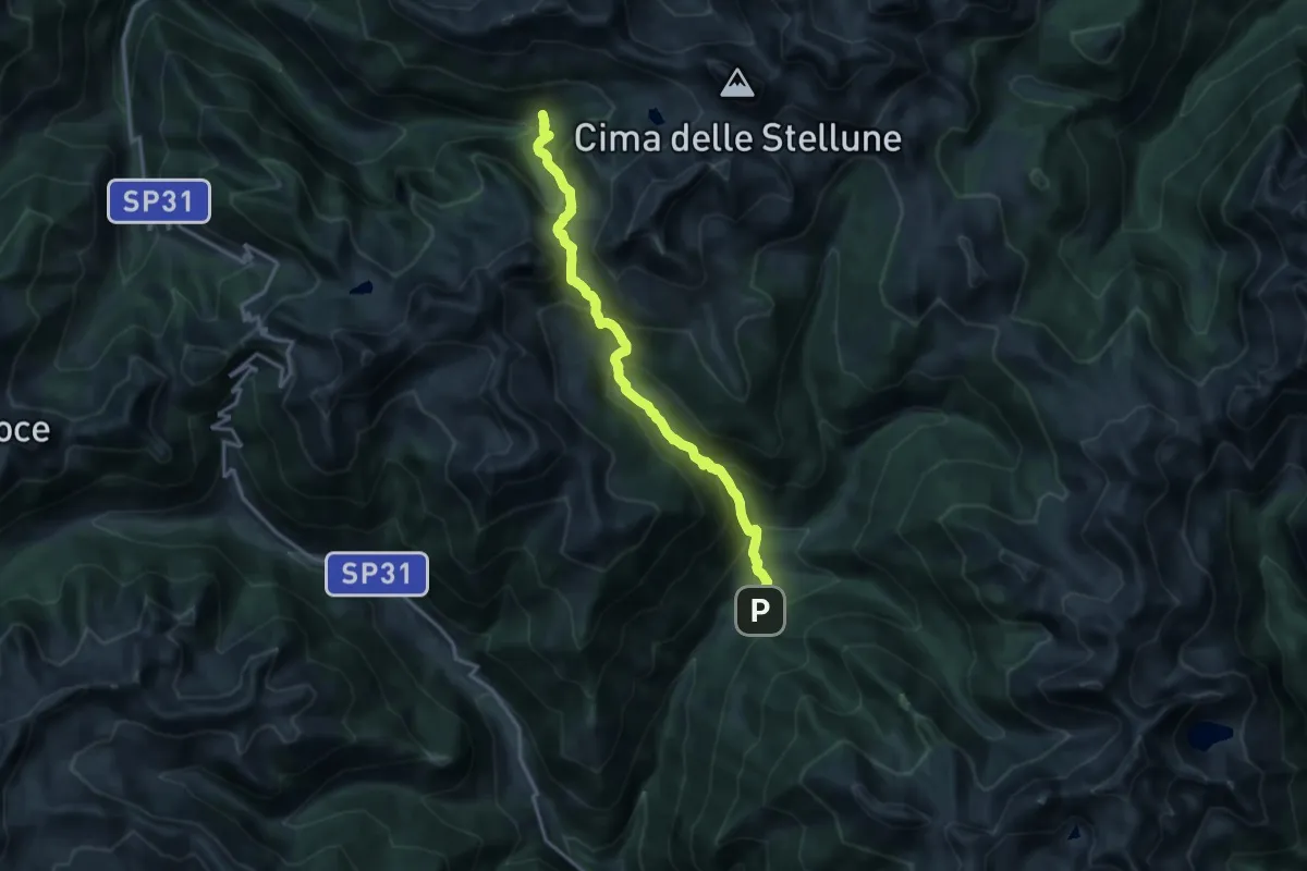
Demanding · Trail
Sentiero di Val Montalon
15.3 km · ↑ 1202 m · 6 h 13 min · 11 km away
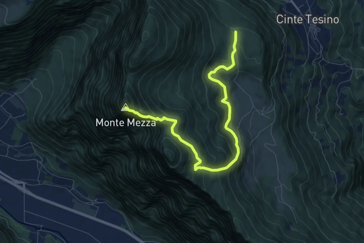
Medium · Summit
Prati Monte Mezza - Le Buse (bivio 397) – La Forzeleta (bivio 397 - 397A)
9.5 km · ↑ 660 m · 3 h 40 min · 11 km away
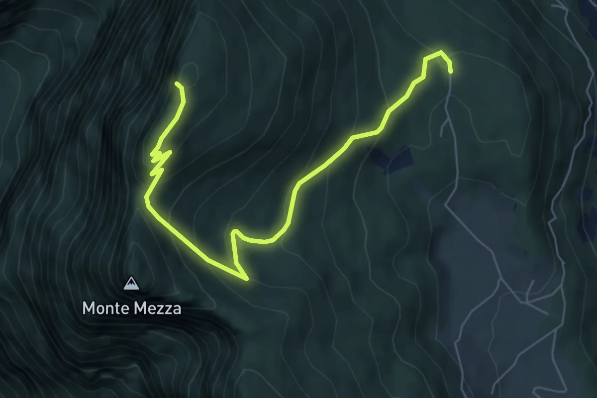
Demanding · Summit
Sentiero della Presa
6.9 km · ↑ 478 m · 2 h 40 min · 11 km away
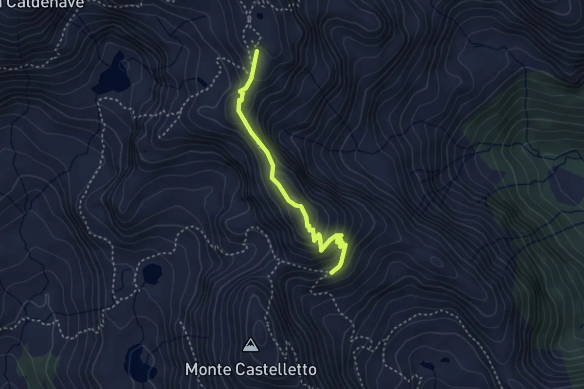
Demanding · Summit
Sentiero Cresta del Frate "Giovanni Strobele"
3.1 km · ↑ 274 m · 1 h 19 min · 11 km away
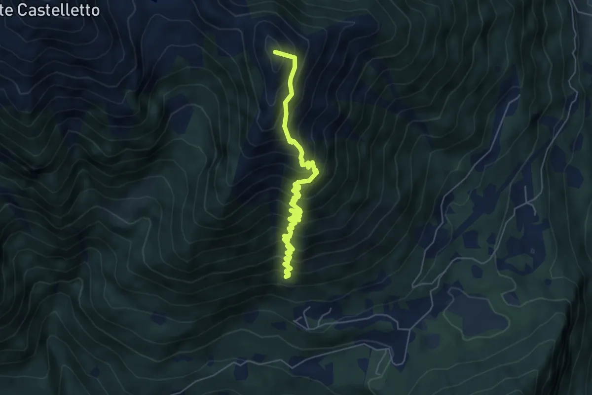
Medium · Summit
Sentiero dei Boale dei Broccati
5.6 km · ↑ 666 m · 2 h 46 min · 11 km away
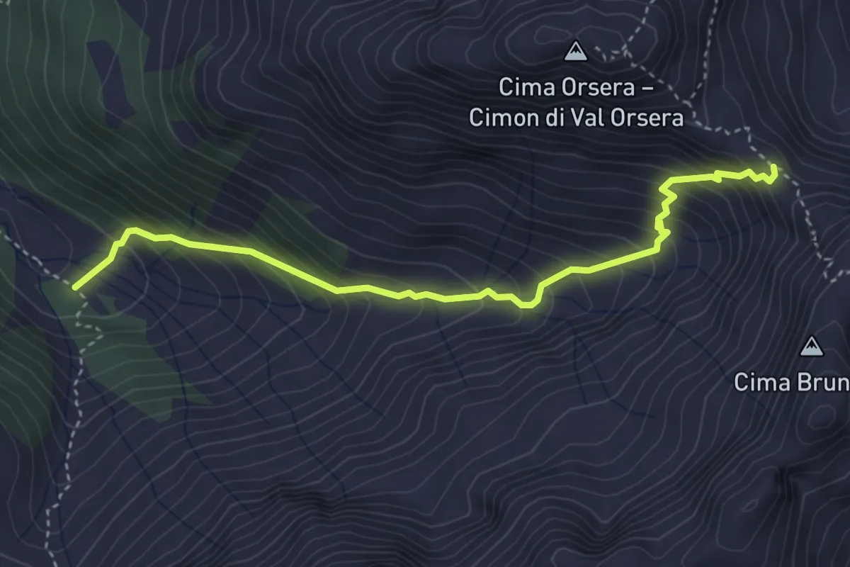
Demanding · Trail
Sentiero attrezzato di Val Orsera
4.0 km · ↑ 481 m · 1 h 59 min · 11 km away
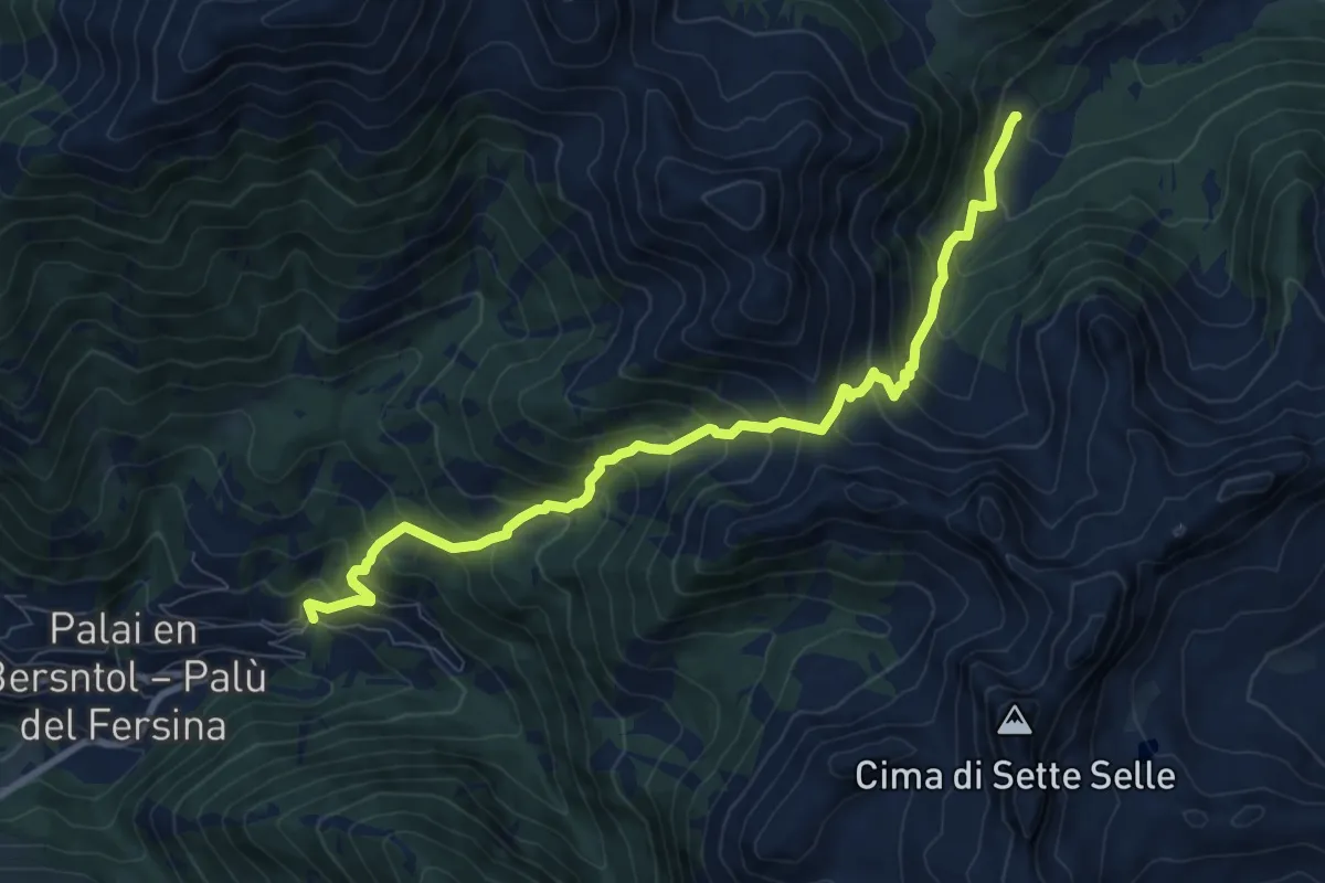
Demanding · Trail
Presso Battisti - Palù del Fèrsina – Malga Cagnon di sotto
9.2 km · ↑ 923 m · 4 h 10 min · 11 km away
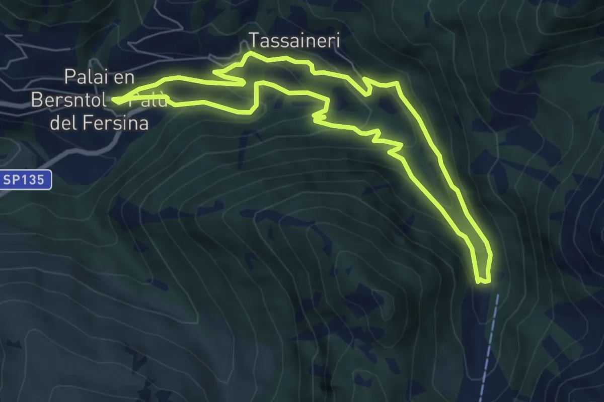
Medium · Trail
Percorso Miniera Palu
6.1 km · ↑ 350 m · 2 h 17 min · 11 km away
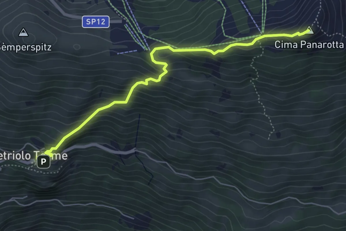
Medium · Summit
Vetriolo - Piazzale delle Terme – La Bassa
5.7 km · ↑ 497 m · 2 h 26 min · 11 km away
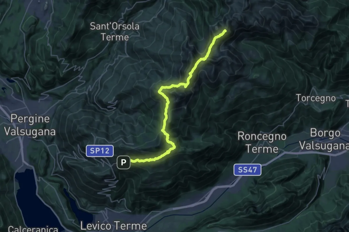
Demanding · Summit
TransLagorai - Tappa 1
27.3 km · ↑ 1669 m · 10 h 4 min · 11 km away
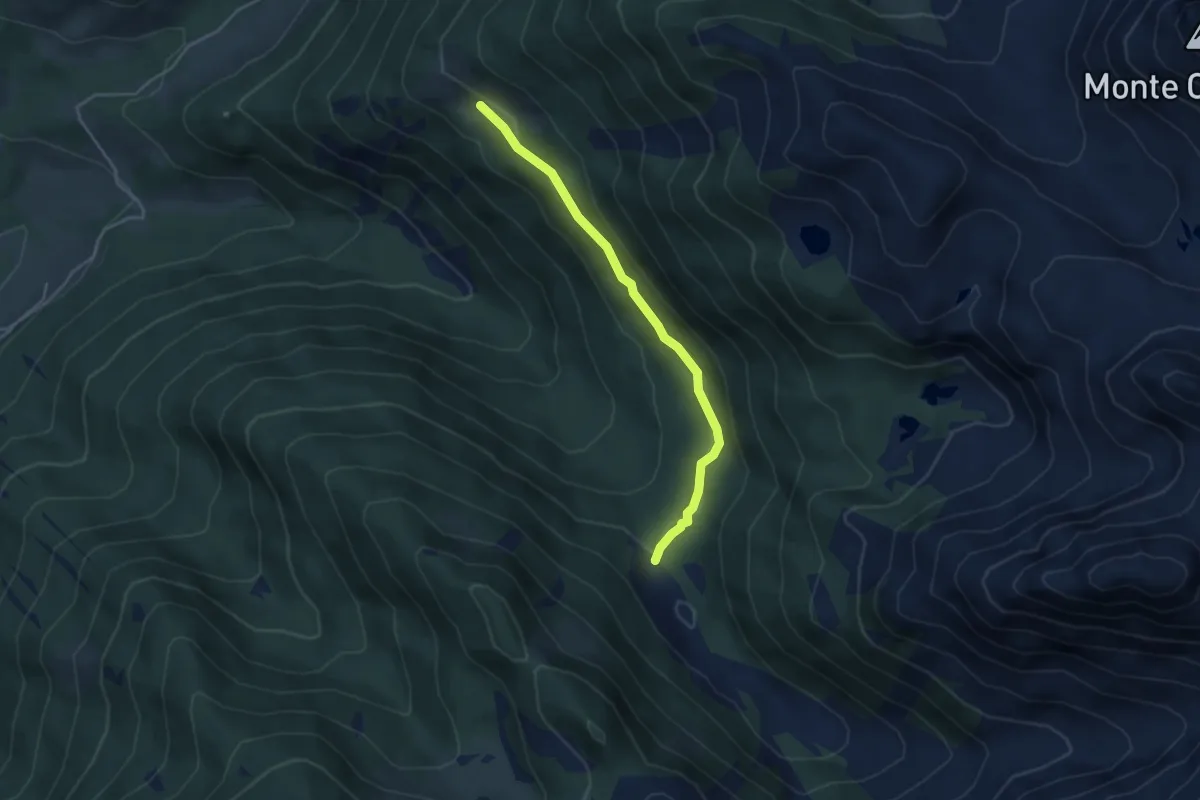
Easy · Cabin
Sentiero dei Zirmi
3.8 km · ↑ 128 m · 1 h 11 min · 11 km away
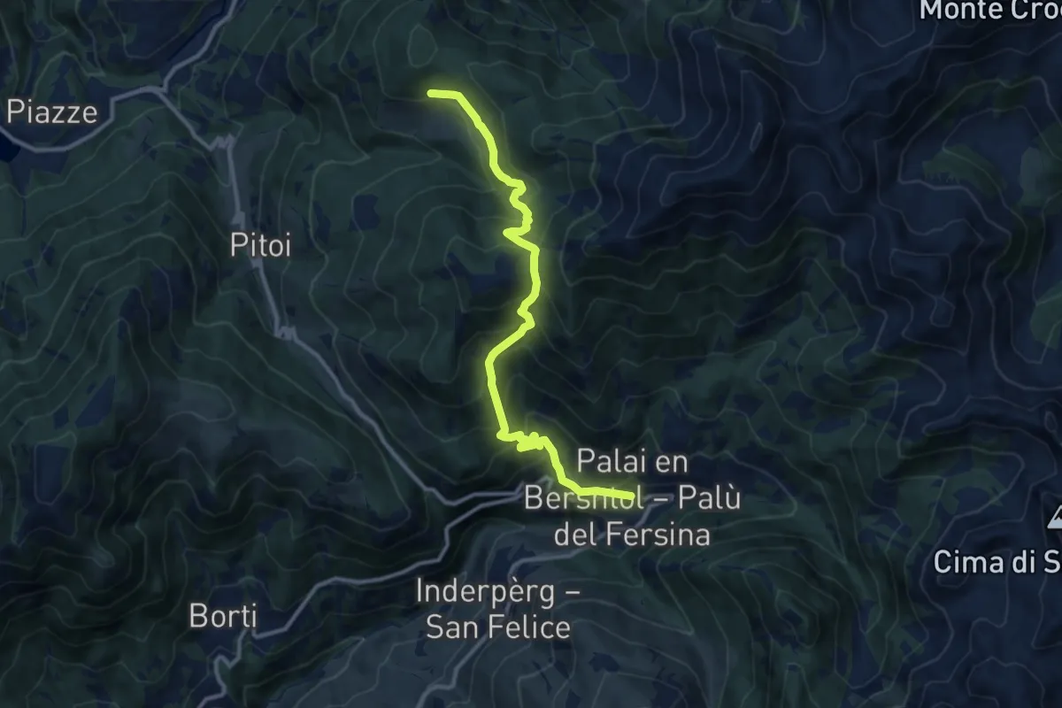
Demanding · Trail
Lènzi - frazione di Palù del Fèrsina – Stramaiolo (bivio 443)
11.3 km · ↑ 875 m · 4 h 33 min · 12 km away
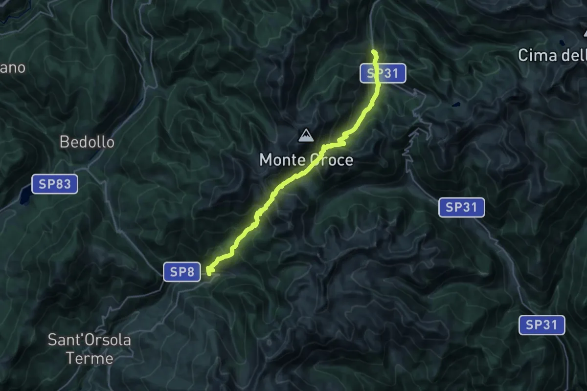
Demanding · Trail
Lènzi - frazione di Palù del Fèrsina – Presso Baito Fornasa Bassa, strada provinciale 31
11.3 km · ↑ 986 m · 4 h 54 min · 12 km away
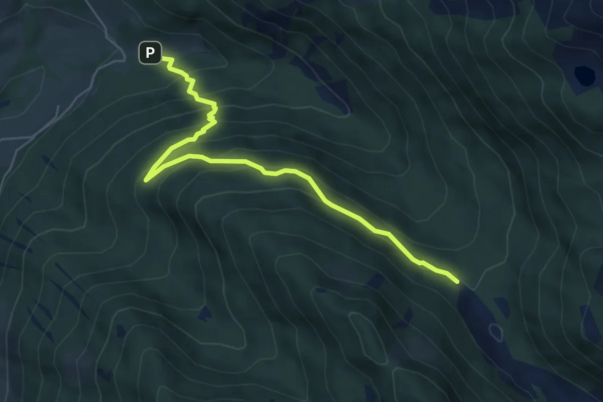
Medium · Trail
Sentiero della Cava
5.8 km · ↑ 451 m · 2 h 21 min · 12 km away
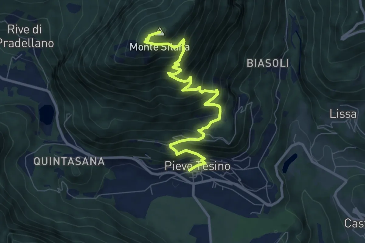
Demanding · Summit
Località Castel dei Corni – Pieve Tesino
7.9 km · ↑ 818 m · 3 h 38 min · 12 km away
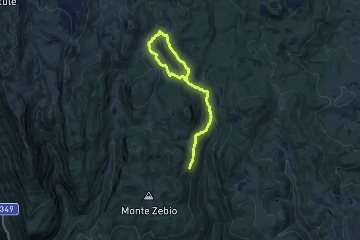
Medium · Trail
Mina della Botte
7.6 km · ↑ 327 m · 2 h 38 min · 12 km away
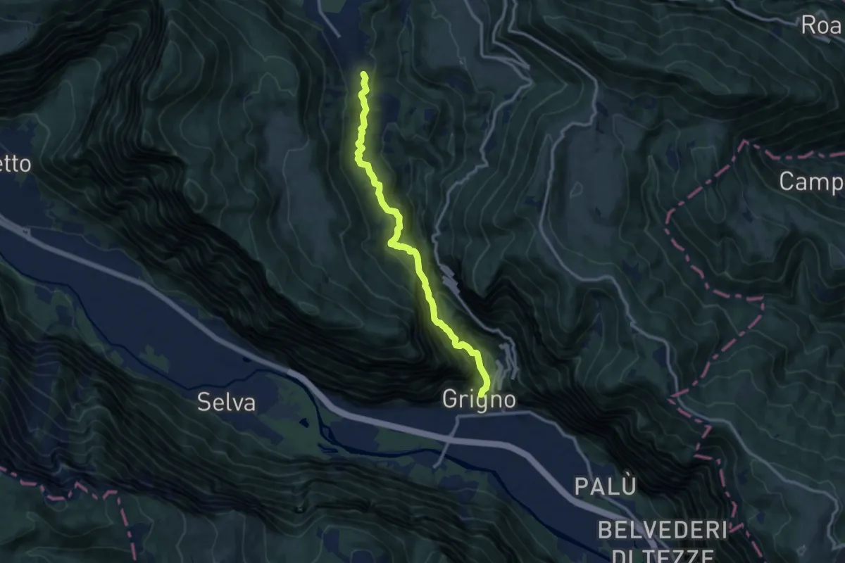
Demanding · Trail
Sentiero del Passetto
10.4 km · ↑ 922 m · 4 h 27 min · 12 km away
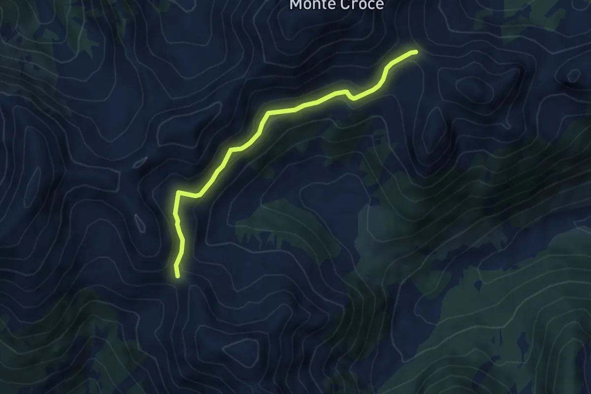
Medium · Trail
Passo Cagnón di Sopra (bivio 314) – Passo Cadin o di Fiemme (bivio 310 - 314)
5.3 km · ↑ 218 m · 1 h 44 min · 12 km away
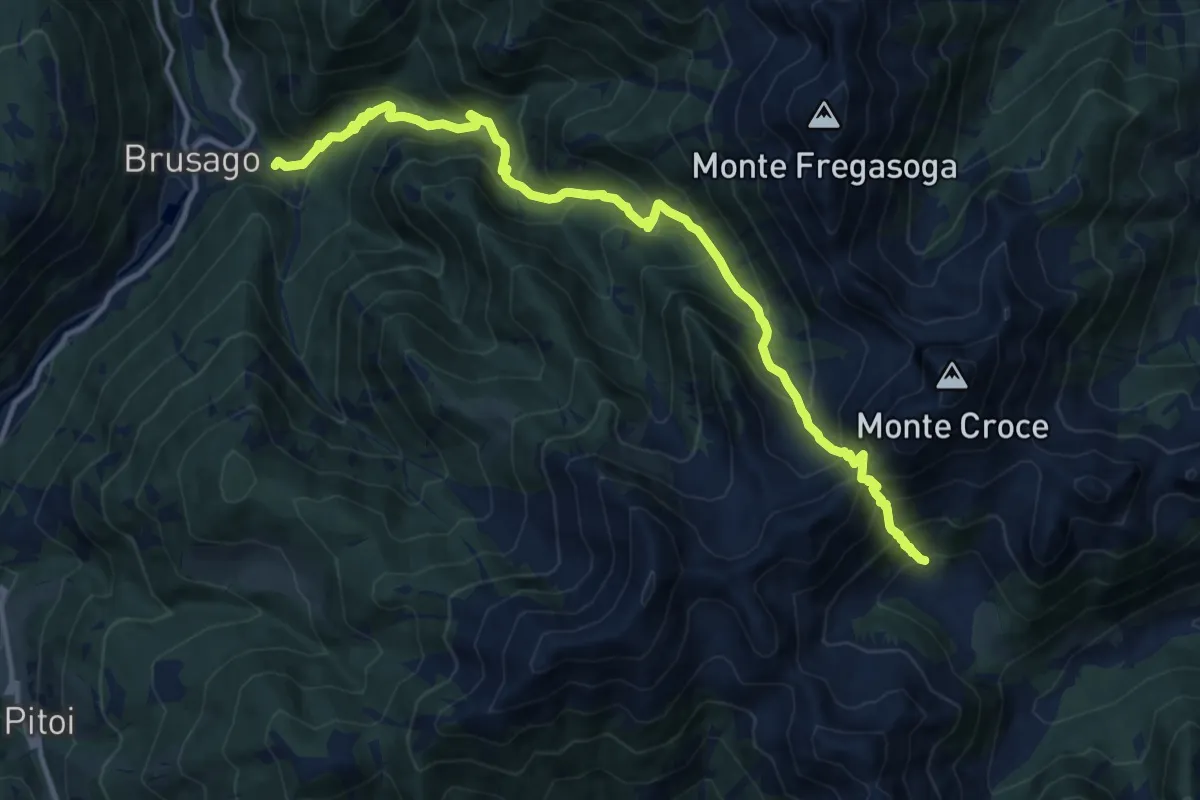
Demanding · Summit
Brusago (bivio 443) – Malga Cagnon di sopra (bivio 314)
14.7 km · ↑ 1384 m · 6 h 28 min · 13 km away
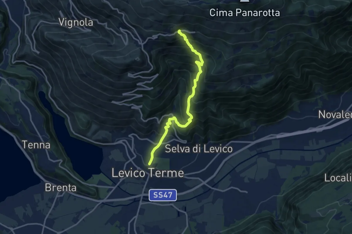
Demanding · Trail
Sentiero del Ronco
10.8 km · ↑ 1001 m · 4 h 43 min · 13 km away
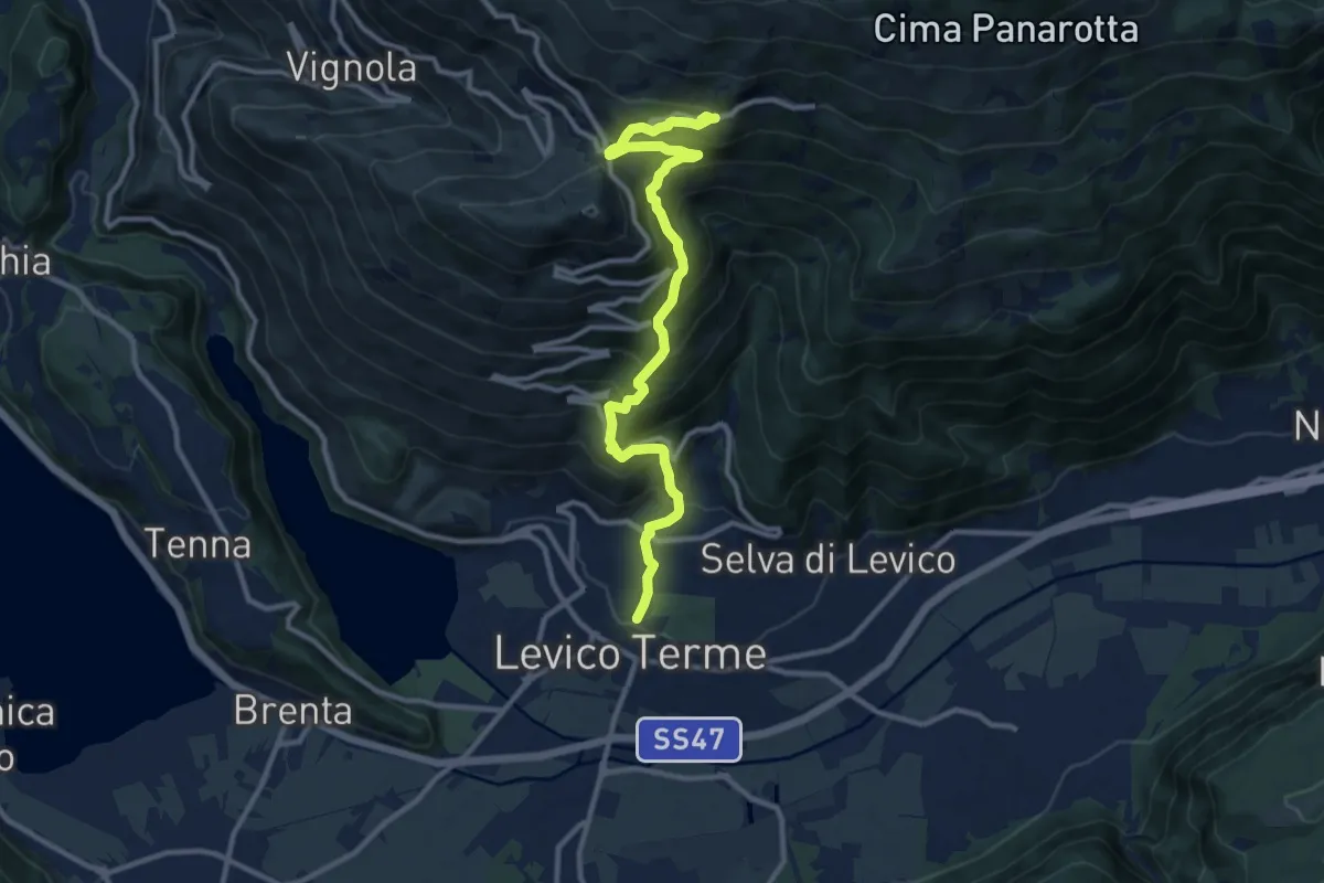
Demanding · Trail
Sentiero di Campo
11.8 km · ↑ 1005 m · 4 h 58 min · 13 km away
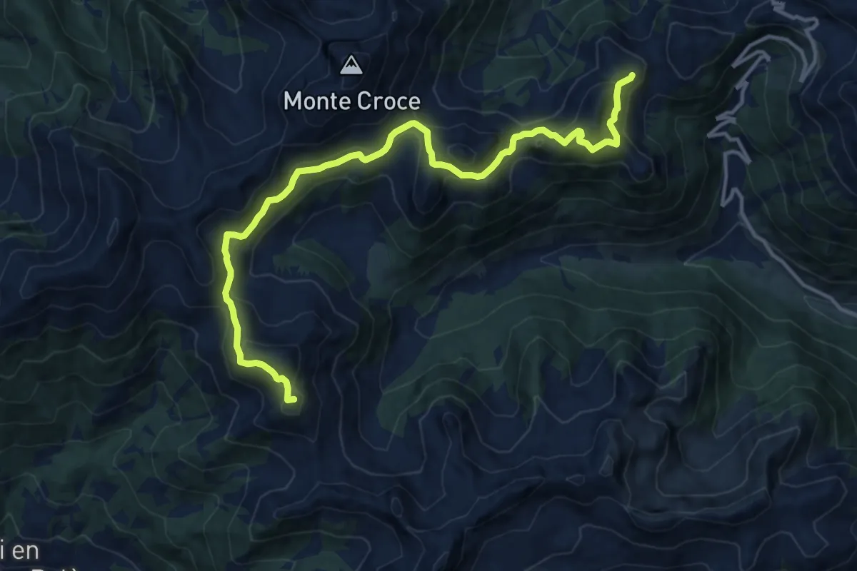
Demanding · Summit
TransLagorai - Tappa 2
14.1 km · ↑ 964 m · 5 h 25 min · 13 km away
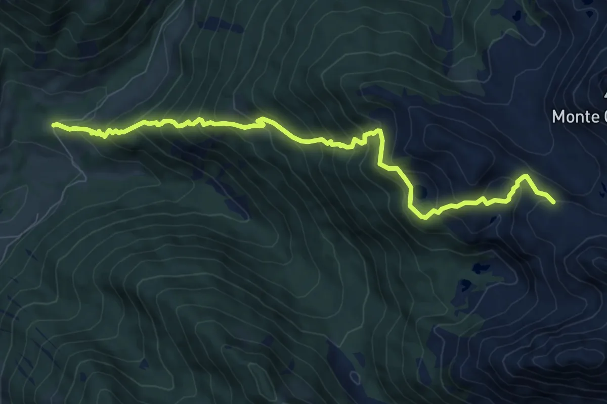
Demanding · Trail
Sentiero Augusto Daolio Dante Pergreffi
9.2 km · ↑ 960 m · 4 h 16 min · 13 km away
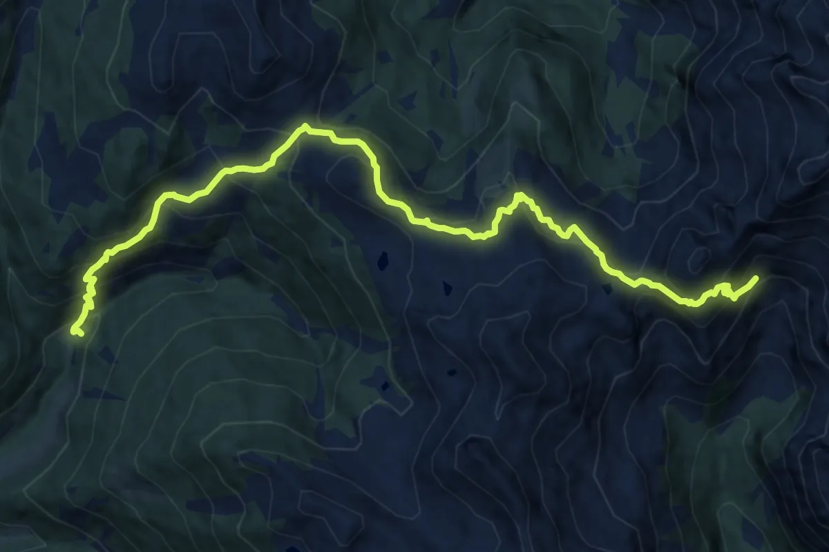
Demanding · Trail
Ponte Conseria (bivio 317) – Bualon di Cima D'Asta (bivio 327)
14.9 km · ↑ 1164 m · 6 h 3 min · 13 km away
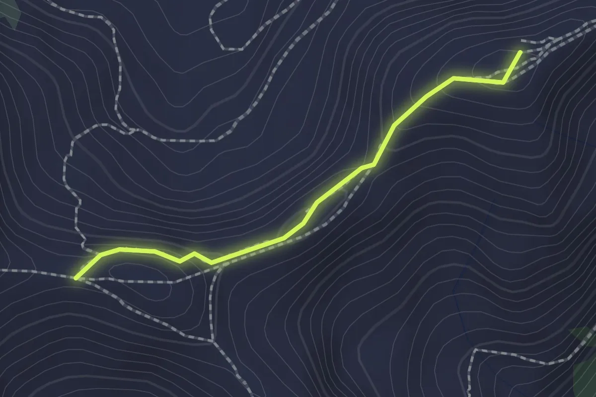
Medium · Summit
Passo Scalet (bivio 407 - 460) – Passo di Val Mattio (bivio 340)
1.7 km · ↑ 71 m · 34 min · 13 km away
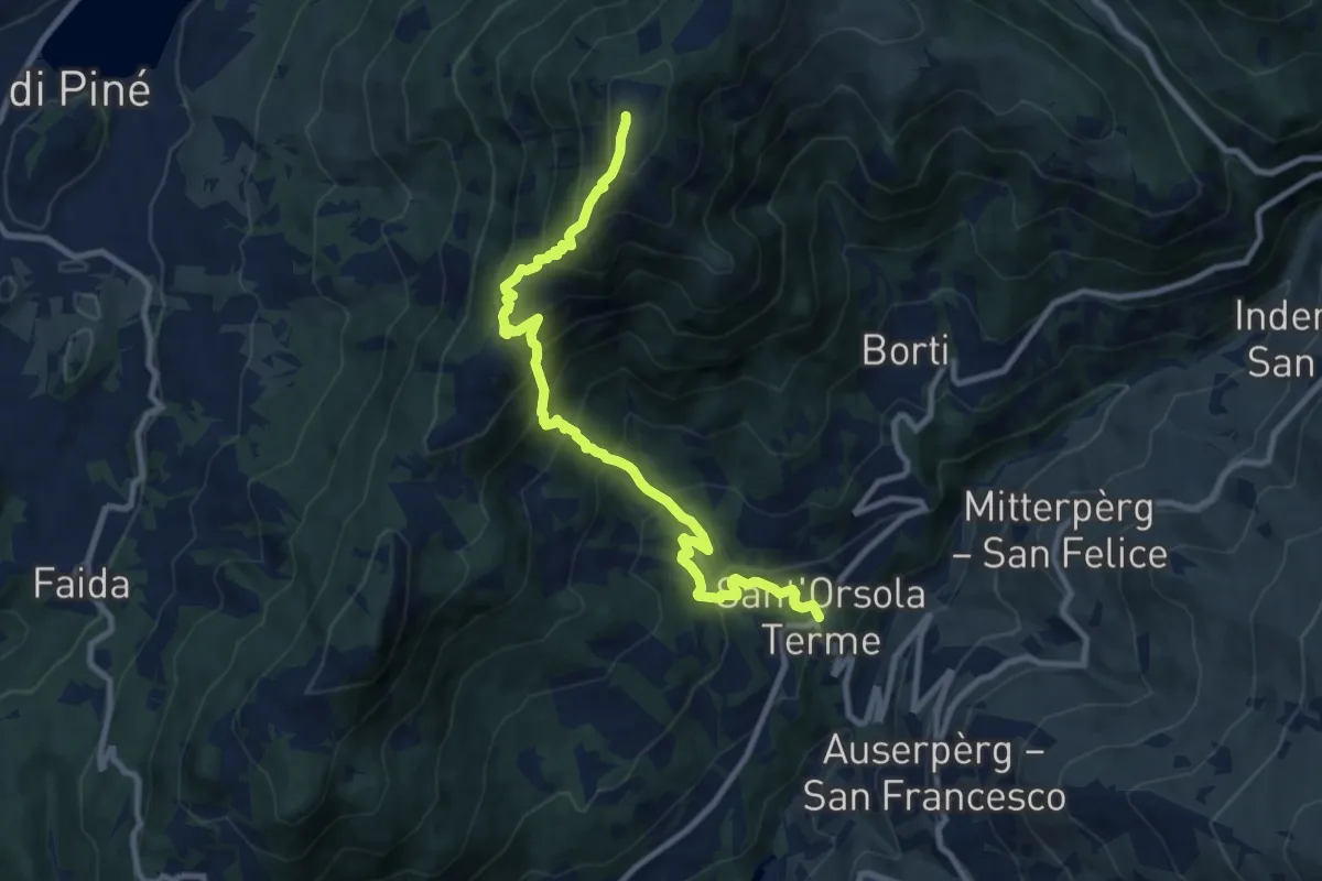
Demanding · Summit
Sant'Orsola – Dosso di Costalta (bivio 404)
10.1 km · ↑ 1094 m · 4 h 45 min · 13 km away
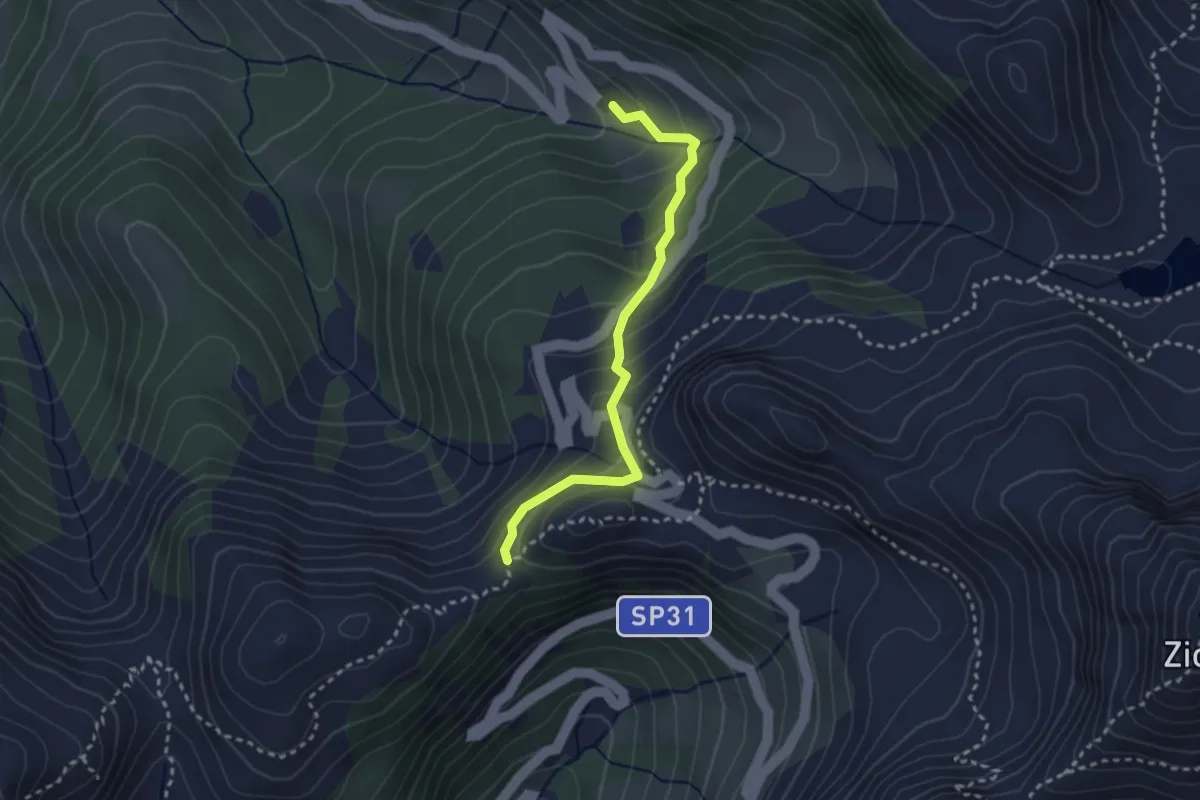
Medium · Trail
Malga Cadinello Alta – Quota 1991
2.8 km · ↑ 253 m · 1 h 12 min · 13 km away
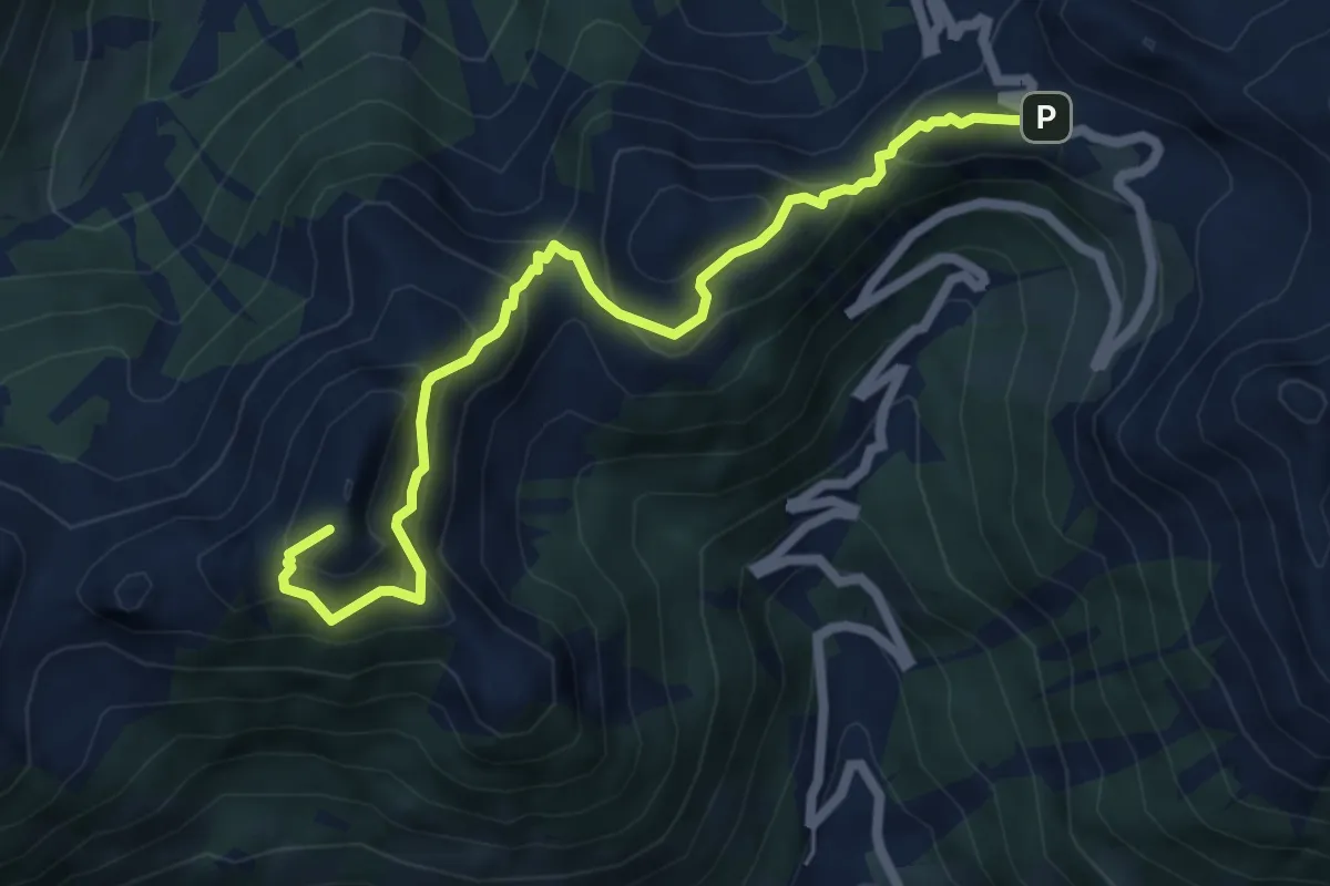
Medium · Summit
Sentiero dei Mangheneti
6.4 km · ↑ 570 m · 2 h 44 min · 13 km away
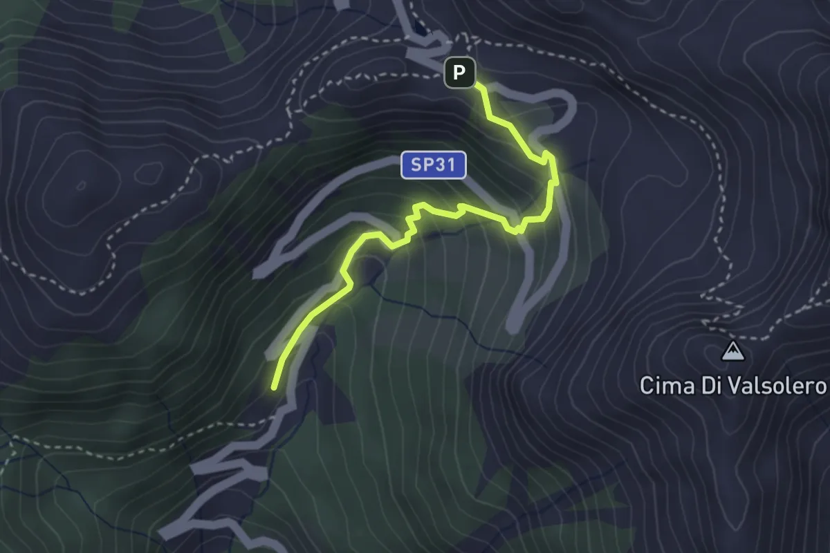
Easy · Trail
Malga Valsolero di Sopra – Passo del Mànghen
3.0 km · ↑ 283 m · 1 h 20 min · 13 km away
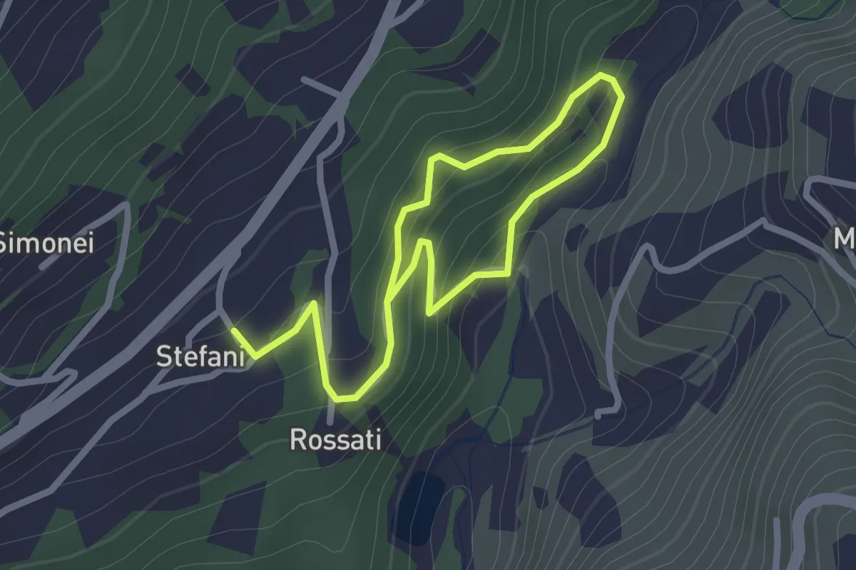
Easy · Trail
Sentiero Fatato
3.3 km · ↑ 174 m · 1 h 10 min · 13 km away
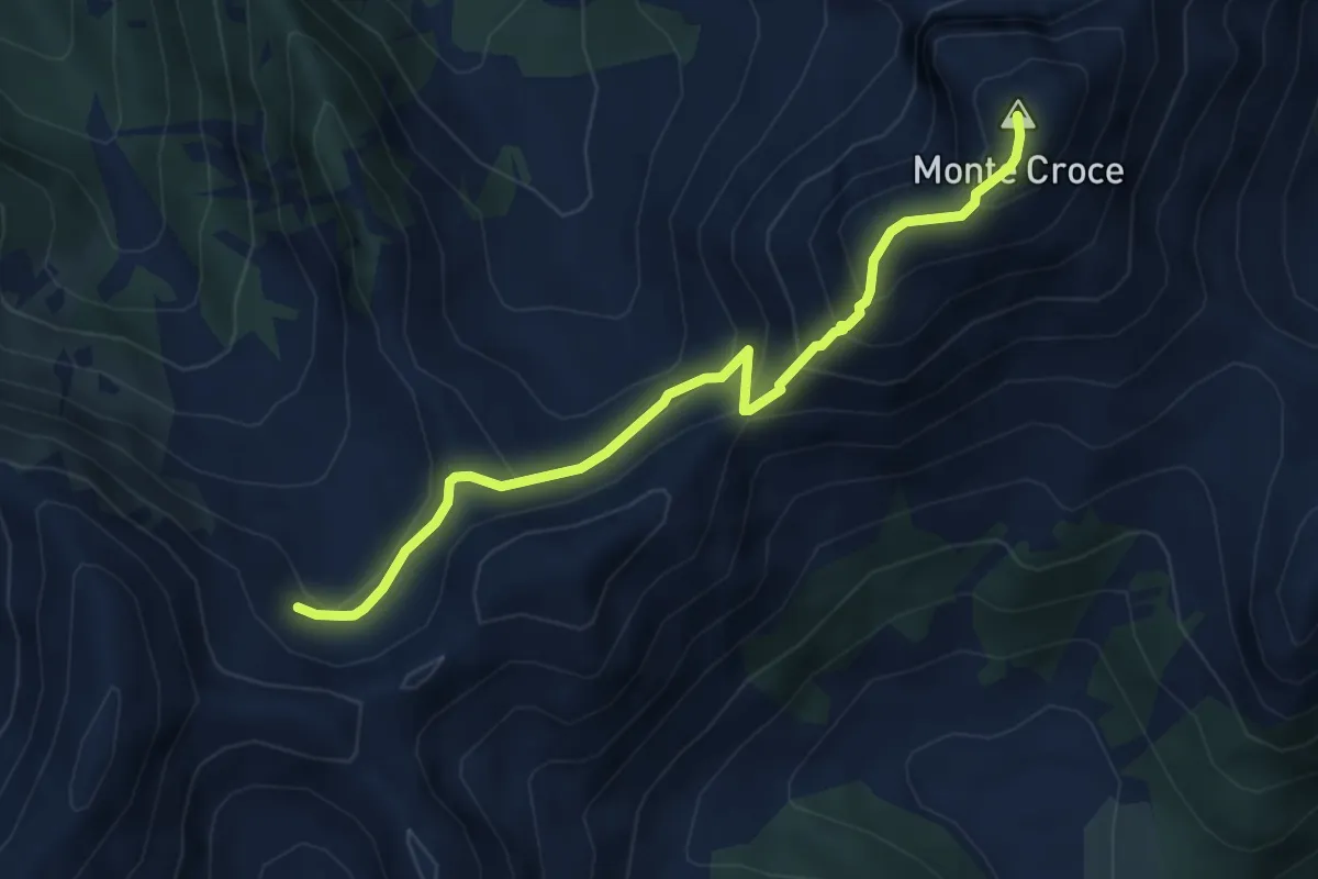
Medium · Summit
Busona di Val Mattio (bivio 340) – Monte Croce
4.8 km · ↑ 358 m · 1 h 55 min · 13 km away
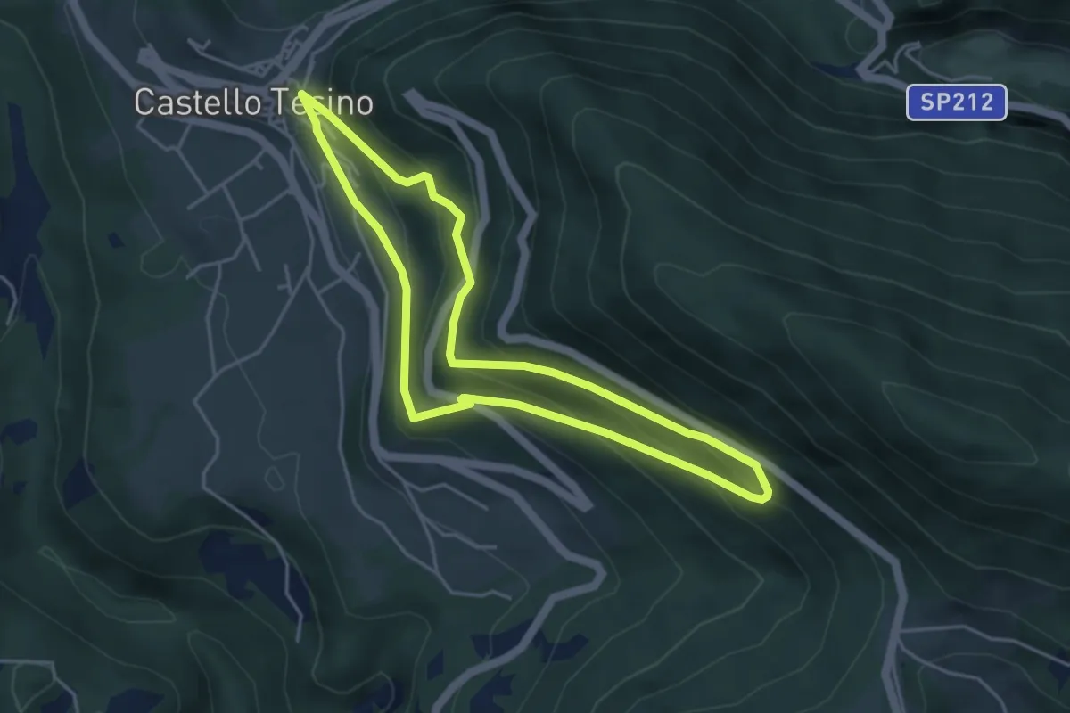
Easy · Trail
Percorso Ronche
4.0 km · ↑ 265 m · 1 h 35 min · 14 km away
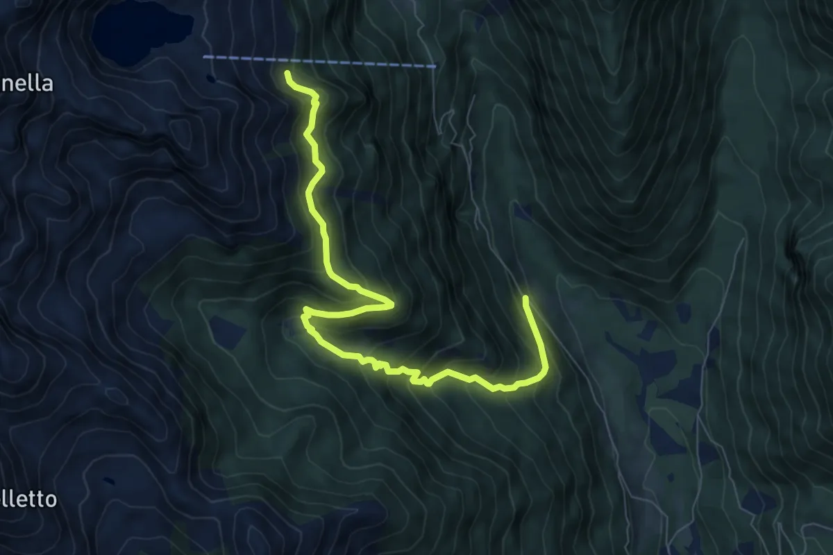
Medium · Trail
Sentiero di Quarazza
8.5 km · ↑ 773 m · 3 h 41 min · 14 km away