Trails near Borgo Valsugana
126 hikes starting within 15 km, nearest first.
Nearest first, page 3 of 3
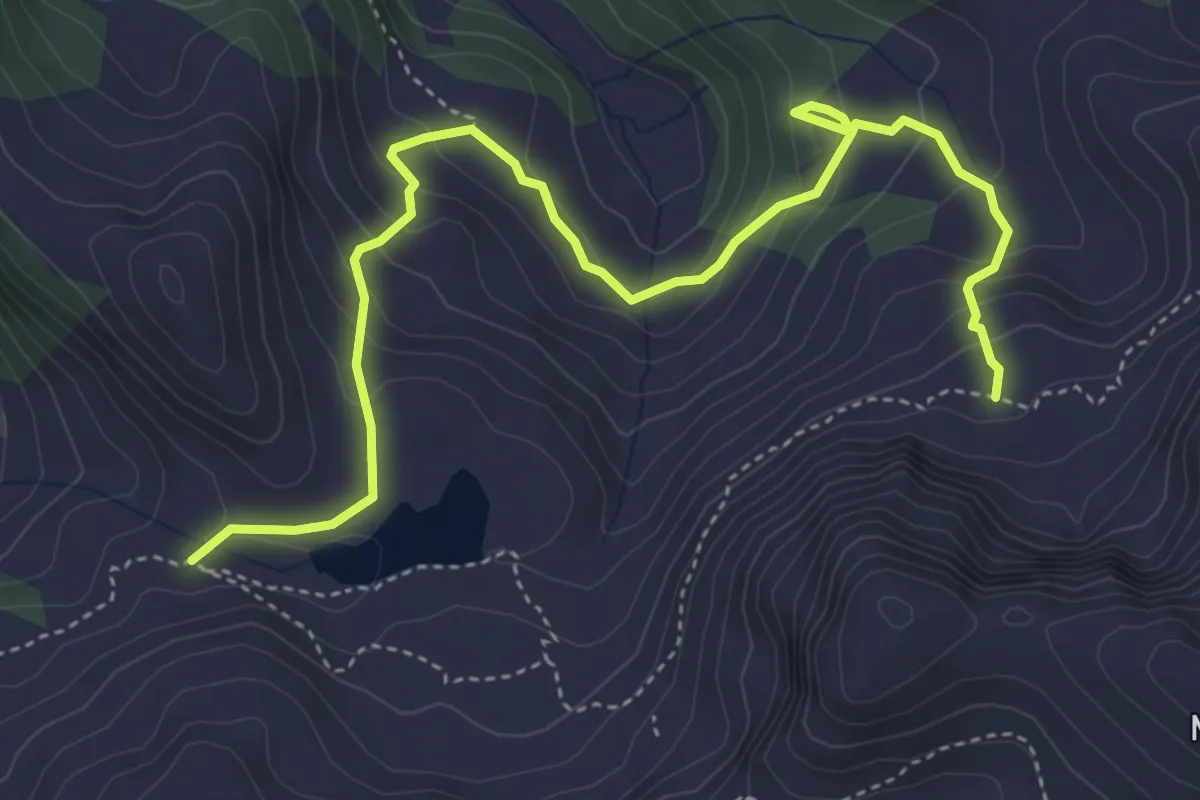
Medium · Trail
Sentiero Re Leone
5.5 km · ↑ 384 m · 2 h 7 min · 14 km away
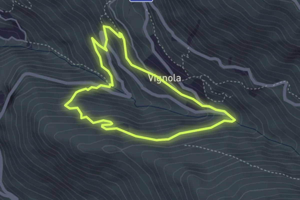
Easy · Trail
Percorso Natura
3.6 km · ↑ 264 m · 1 h 28 min · 14 km away
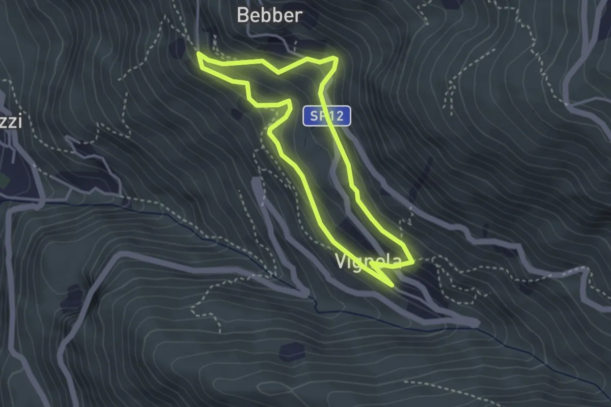
Easy · Trail
Trekking Minatore
3.0 km · ↑ 221 m · 1 h 14 min · 14 km away
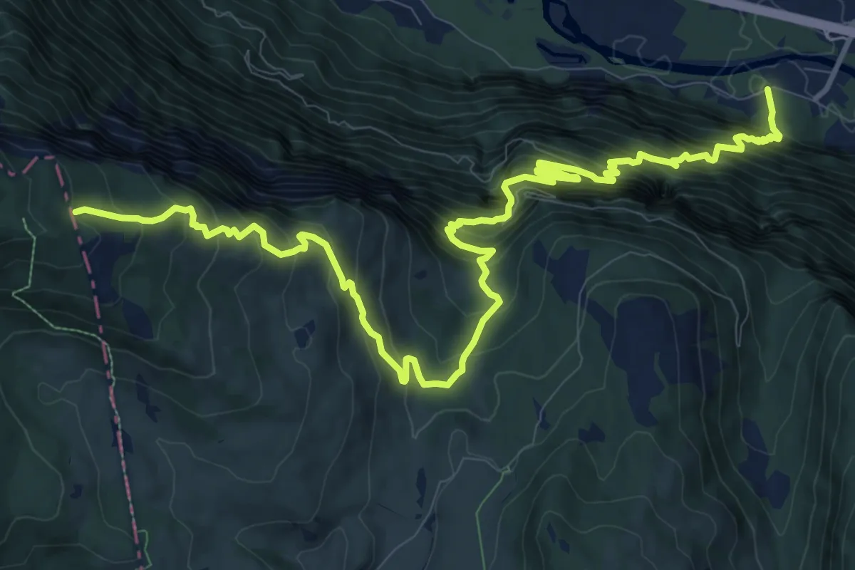
Demanding · Trail
Sentiero della Pertica e di Giogo Malo
15.5 km · ↑ 1818 m · 7 h 36 min · 14 km away
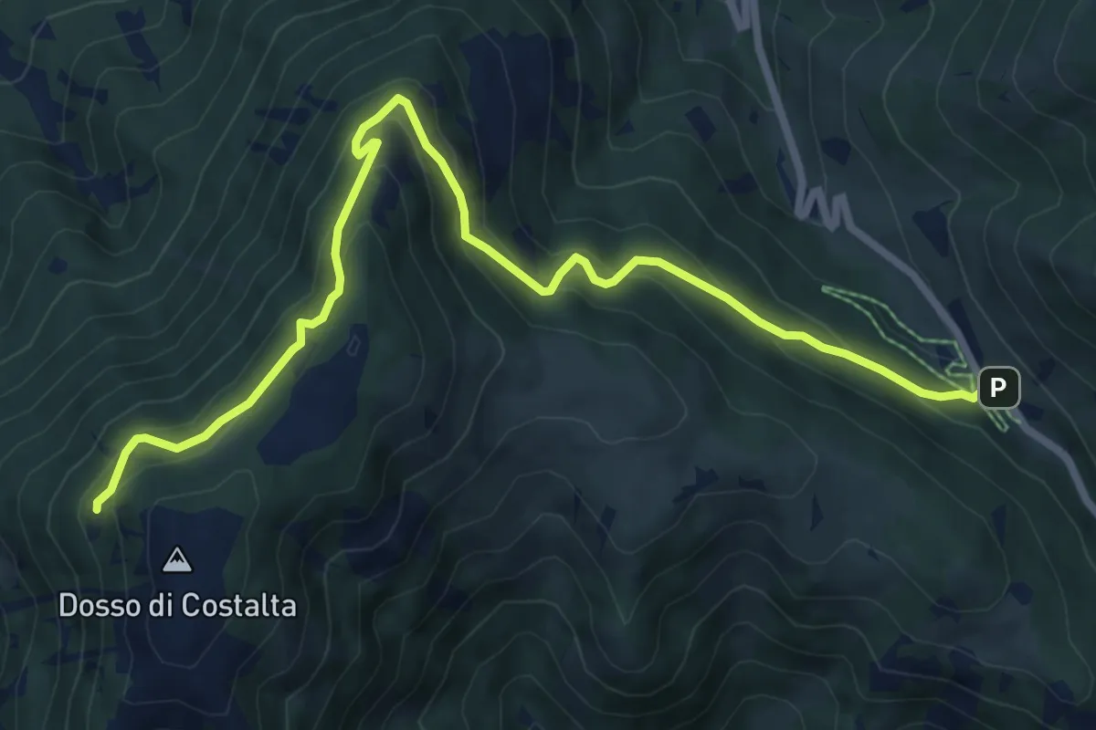
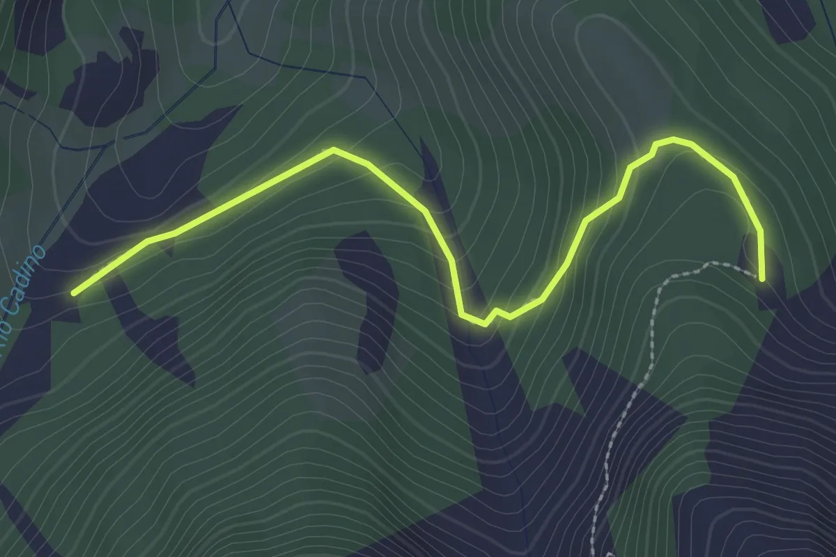
Medium · Trail
Senter dei Russi
8.8 km · ↑ 567 m · 3 h 18 min · 14 km away
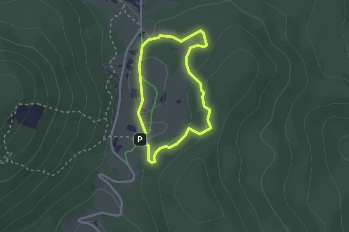
Easy · Trail
Malga Agnelezza – Quota 1816
2.8 km · ↑ 176 m · 1 h 3 min · 14 km away
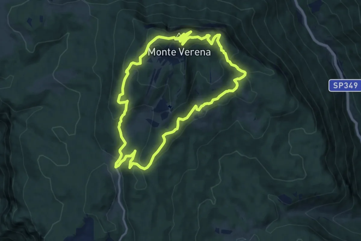
Easy · Cabin
Sentiero del Silenzio, Porta della Memoria
1.7 km · ↑ 51 m · 32 min · 14 km away
Medium · Summit
Monte Verena
10.4 km · ↑ 528 m · 3 h 44 min · 14 km away
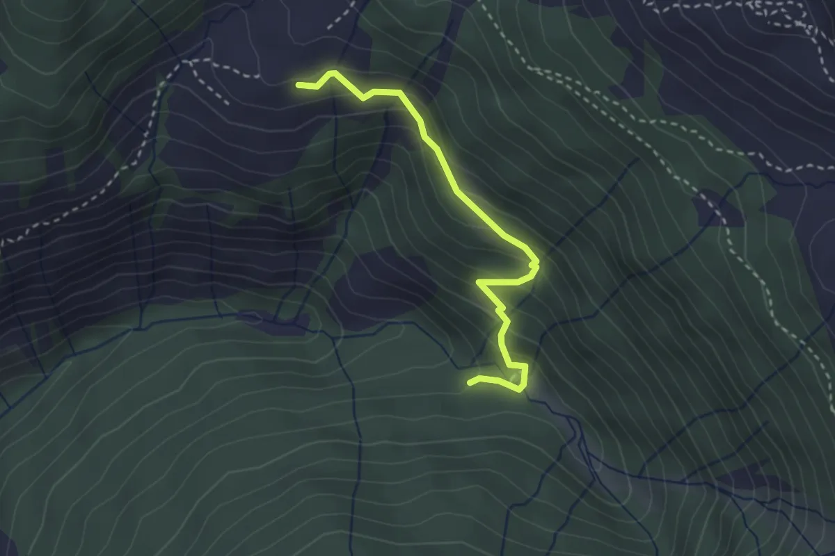
Medium · Cabin
Sentiero delle Aie
2.8 km · ↑ 191 m · 1 h 4 min · 14 km away
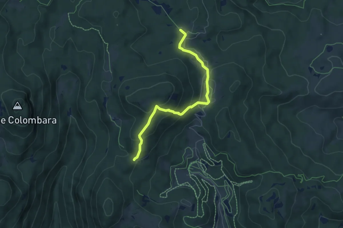
Medium · Trail
Percorso 850 – Malga Fiara
6.1 km · ↑ 238 m · 1 h 57 min · 14 km away
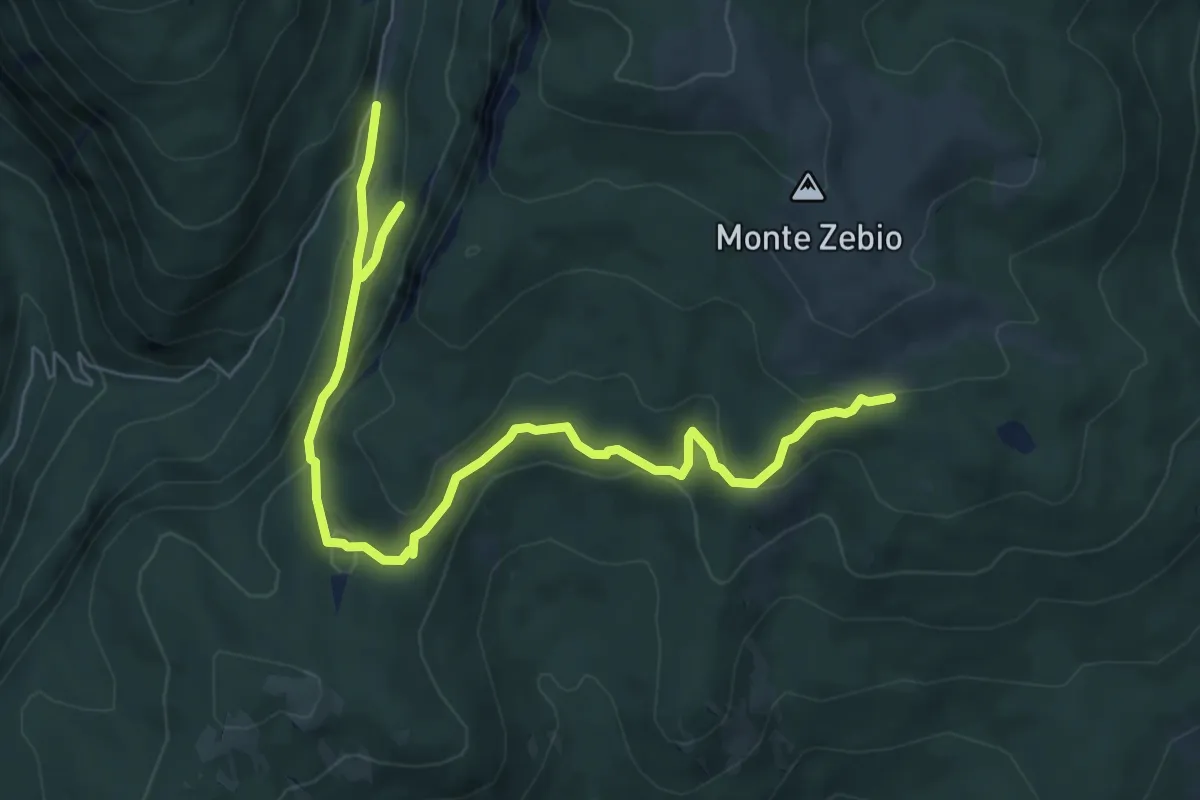
Medium · Cabin
Sentiero dei 5 Cimiteri
8.5 km · ↑ 392 m · 2 h 52 min · 14 km away
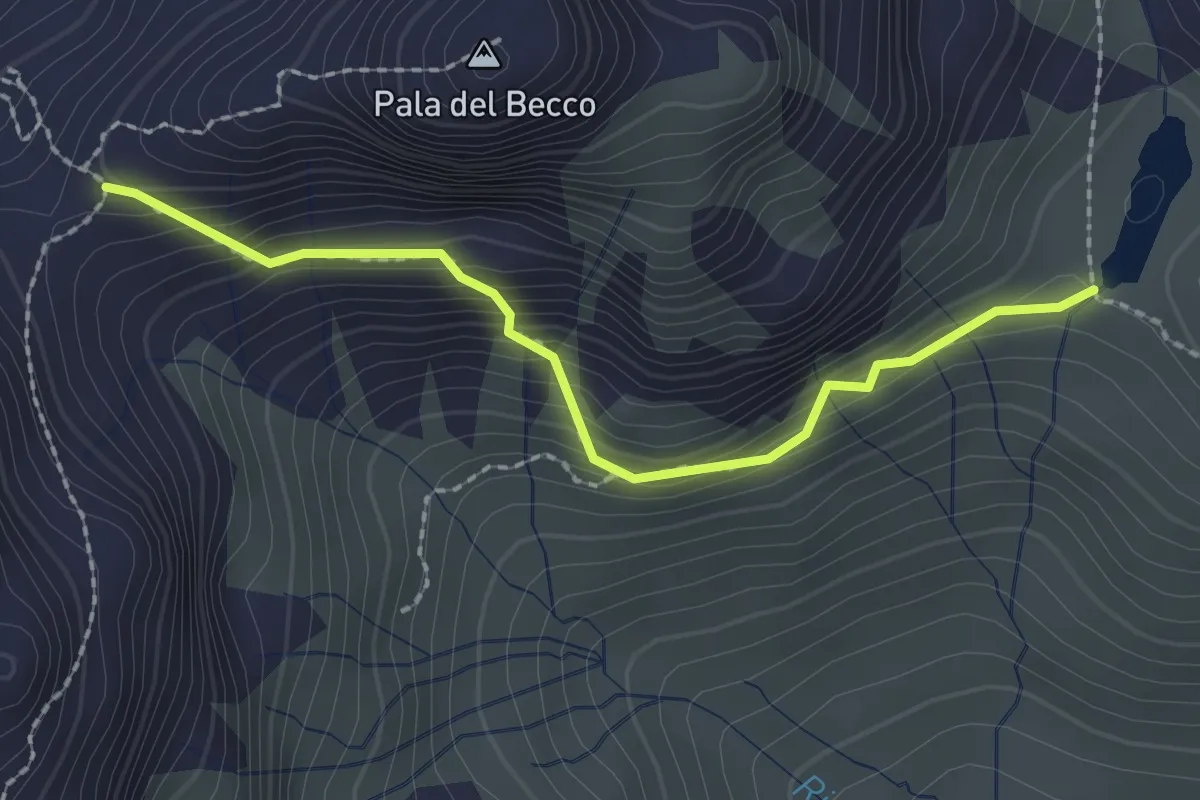
Demanding · Trail
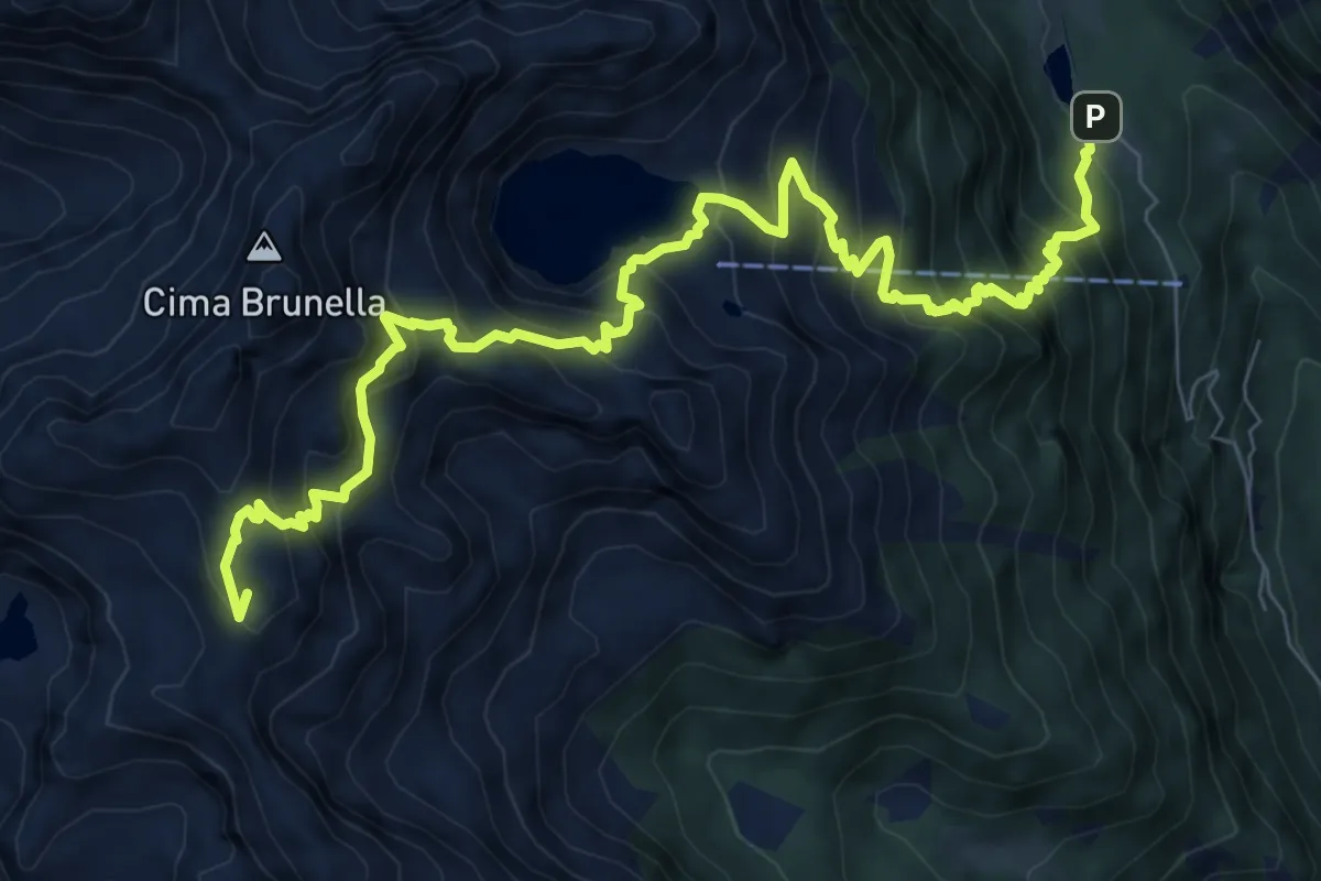
Lago di Montalon (bivio 362) – Forcella Pala del Becco (bivio 322)
2.1 km · ↑ 217 m · 59 min · 14 km away
Demanding · Summit
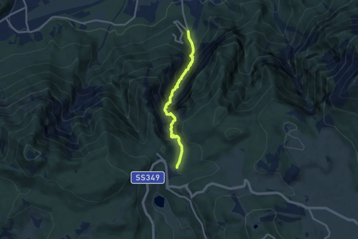
Malga Sorgazza (bivio 327) – Malga Rava di Sopra - bivacco (bivio 366)
10.5 km · ↑ 1117 m · 4 h 54 min · 14 km away
Expert · Trail
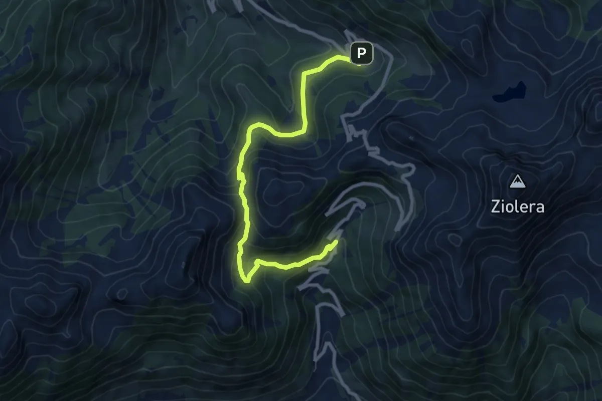
Via Ferrata della Val Scura "Clemente Chiesa"
6.2 km · ↑ 1097 m · 3 h 50 min · 14 km away
Medium · Trail
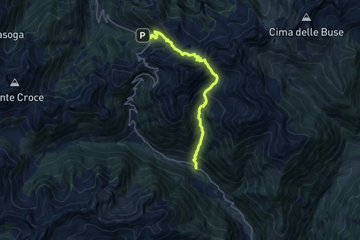
Malga Valsolero di Sopra – Malga Cadinello Alta
7.9 km · ↑ 506 m · 2 h 57 min · 14 km away
Demanding · Trail
Sentiero di Val Ziolèra
13.1 km · ↑ 1362 m · 6 h 3 min · 14 km away
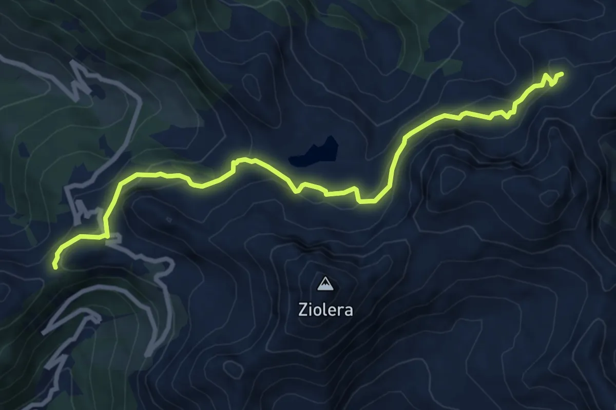
Medium · Trail
TransLagorai - Tappa 3 variante Lago Buse
7.9 km · ↑ 434 m · 2 h 48 min · 14 km away
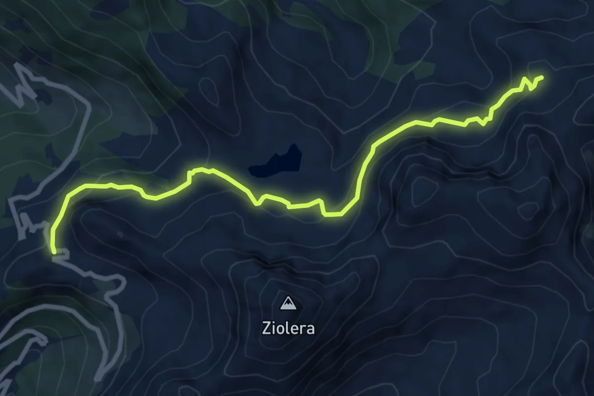
Medium · Trail
Lago Cadinello presso Passo del Mànghen – Pian delle Fave (bivio 322)
7.1 km · ↑ 387 m · 2 h 31 min · 14 km away
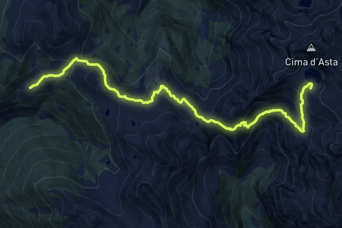
Demanding · Cabin
Rifugio Malga Conseria – Rifugio O. Brentari a Cima d'Asta
15.9 km · ↑ 1190 m · 6 h 19 min · 14 km away
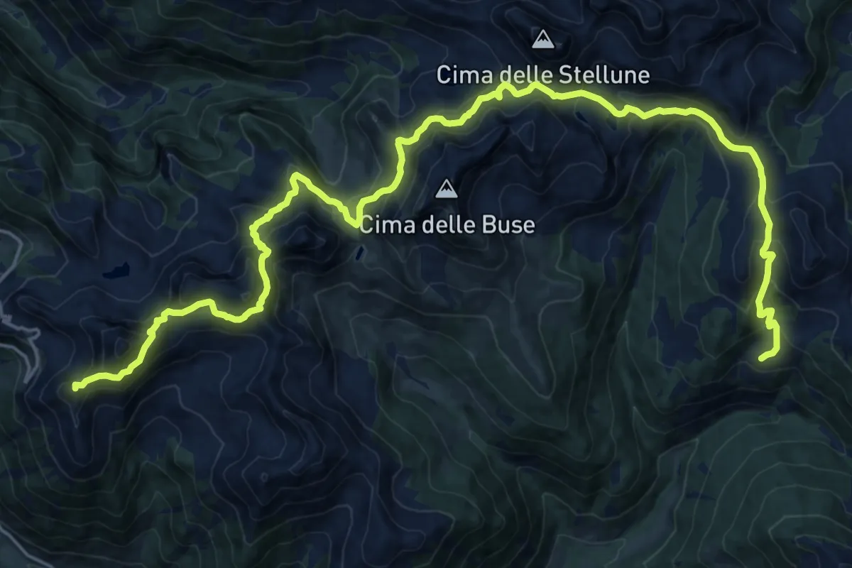
Demanding · Summit
TransLagorai - Tappa 3
26.8 km · ↑ 1680 m · 9 h 58 min · 14 km away
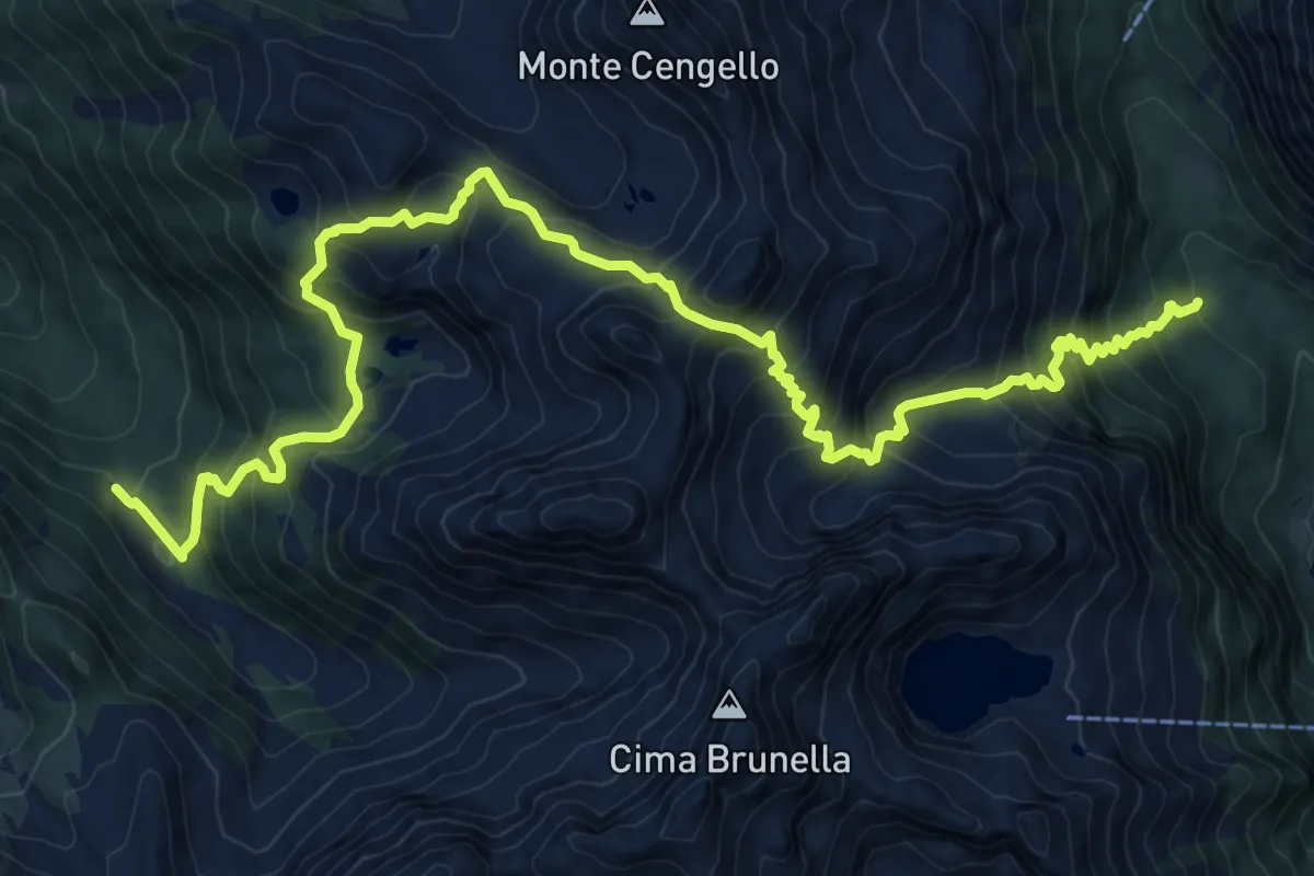
Demanding · Trail
Sentiero di Val D'Inferno e di Val Vendrame
14.4 km · ↑ 1447 m · 6 h 32 min · 15 km away
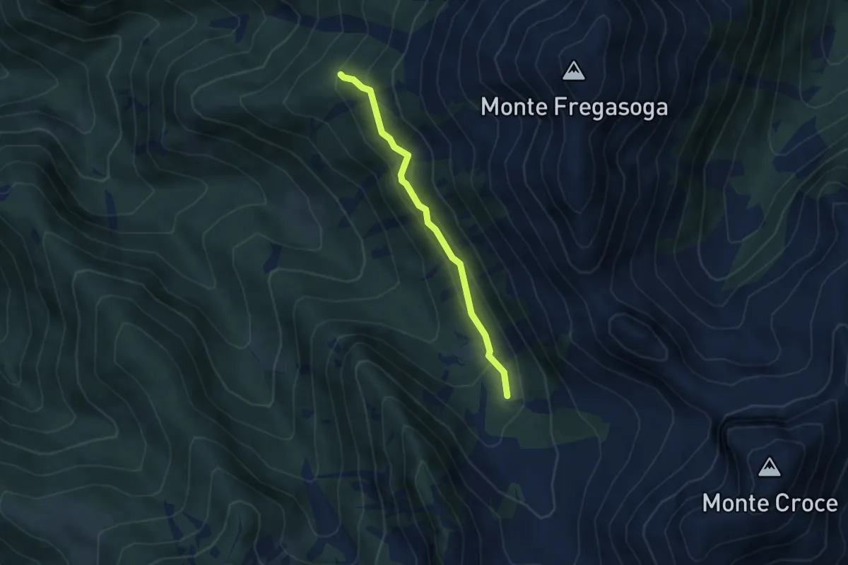
Medium · Trail
Ex Malga Casarine - ruderi (bivio 407 - 423) – Quota 1897 (bivio 468)
3.5 km · ↑ 239 m · 1 h 20 min · 15 km away
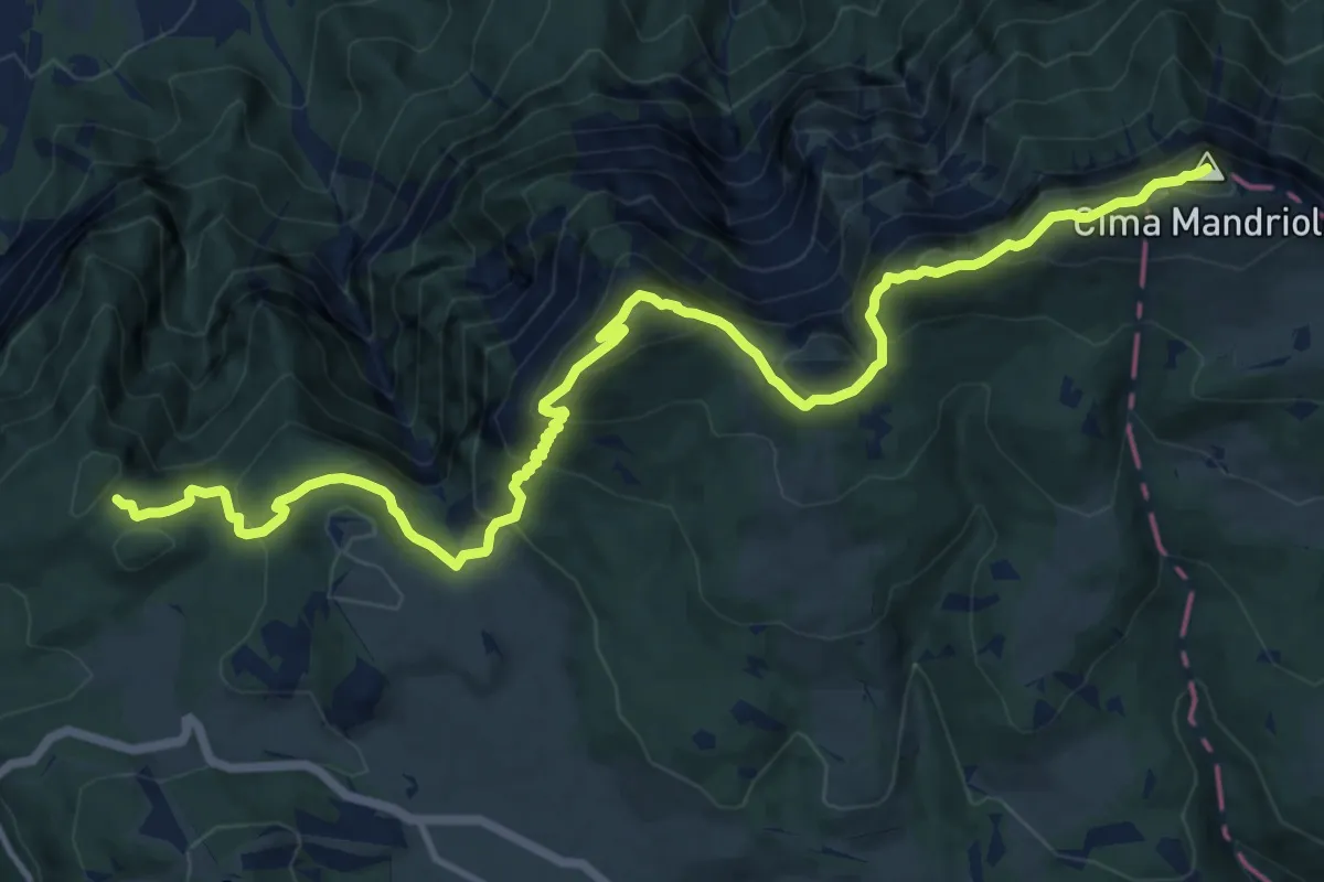
Demanding · Summit
Sentiero "Mario Magnago"
16.2 km · ↑ 1035 m · 6 h 3 min · 15 km away
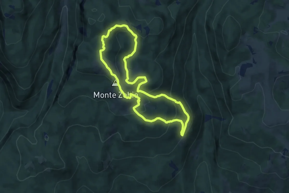
Medium · Summit
Sentiero “Vittorio Corà” al Monte Zebio
8.2 km · ↑ 398 m · 2 h 54 min · 15 km away
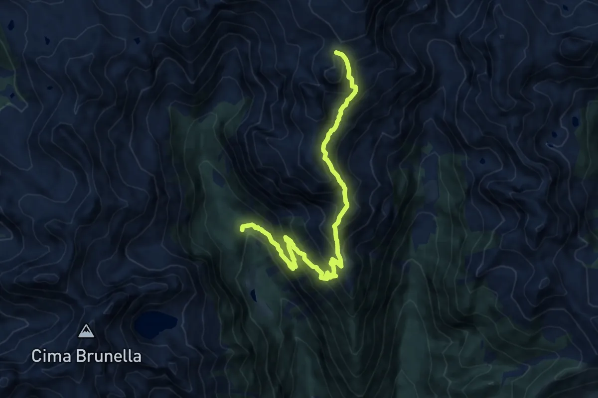
Demanding · Summit
Sentiero della Campagnassa
12.6 km · ↑ 1234 m · 5 h 39 min · 15 km away
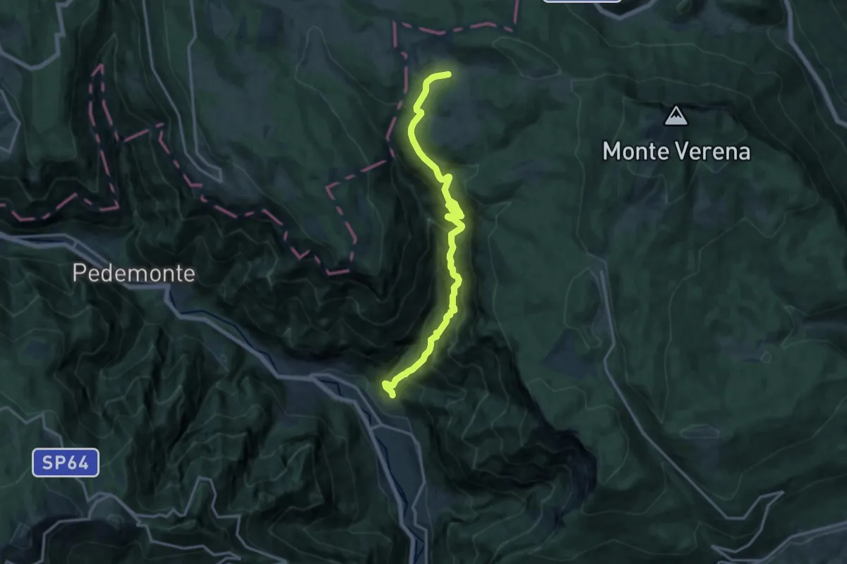
Demanding · Trail
La Singela
14.6 km · ↑ 1362 m · 6 h 24 min · 15 km away
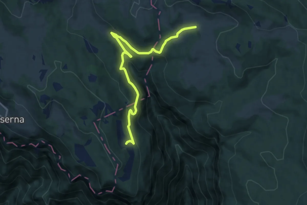
Medium · Trail
Malga Camporosà – Contrà Bisele di Sotto – Ponte Rossato – Malga Crojer
9.8 km · ↑ 340 m · 3 h 2 min · 15 km away
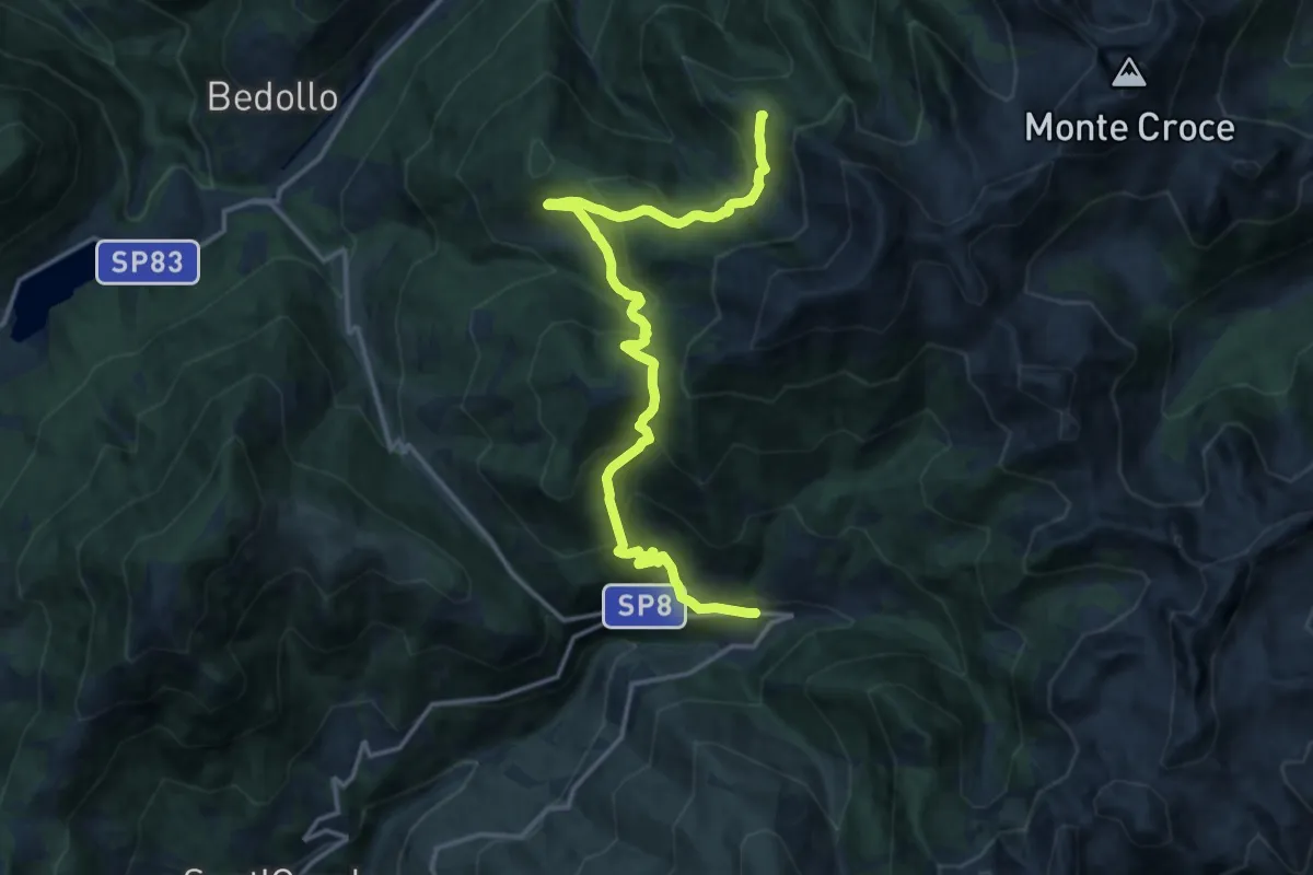
Demanding · Trail
Alta Via del Porfido - Tappa 1
16.5 km · ↑ 1124 m · 6 h 20 min · 15 km away
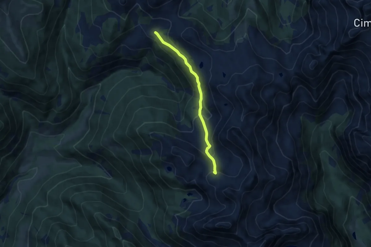
Medium · Trail
Sentiero delle Buse Todesche
6.8 km · ↑ 368 m · 2 h 24 min · 15 km away
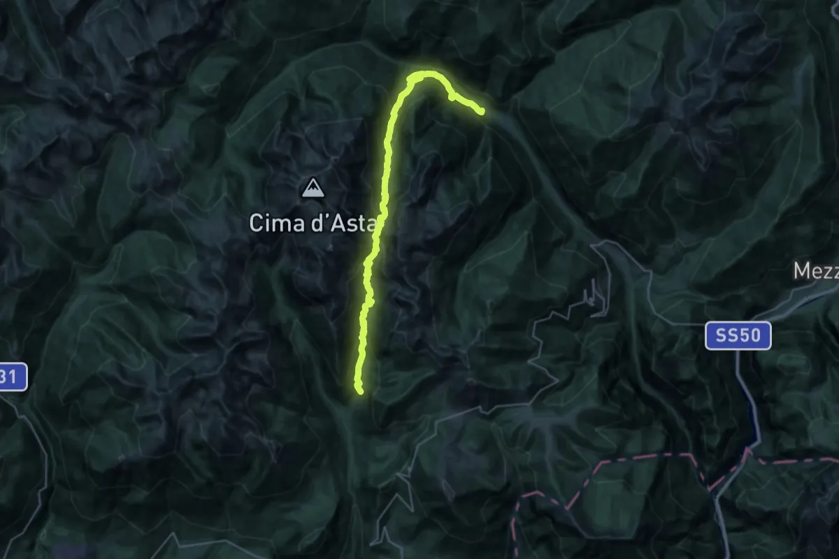
Demanding · Trail
Trodo de la Regana
14.8 km · ↑ 875 m · 5 h 47 min · 15 km away