Trails near Borgomanero
179 hikes starting within 15 km, nearest first.
Nearest first, page 1 of 4
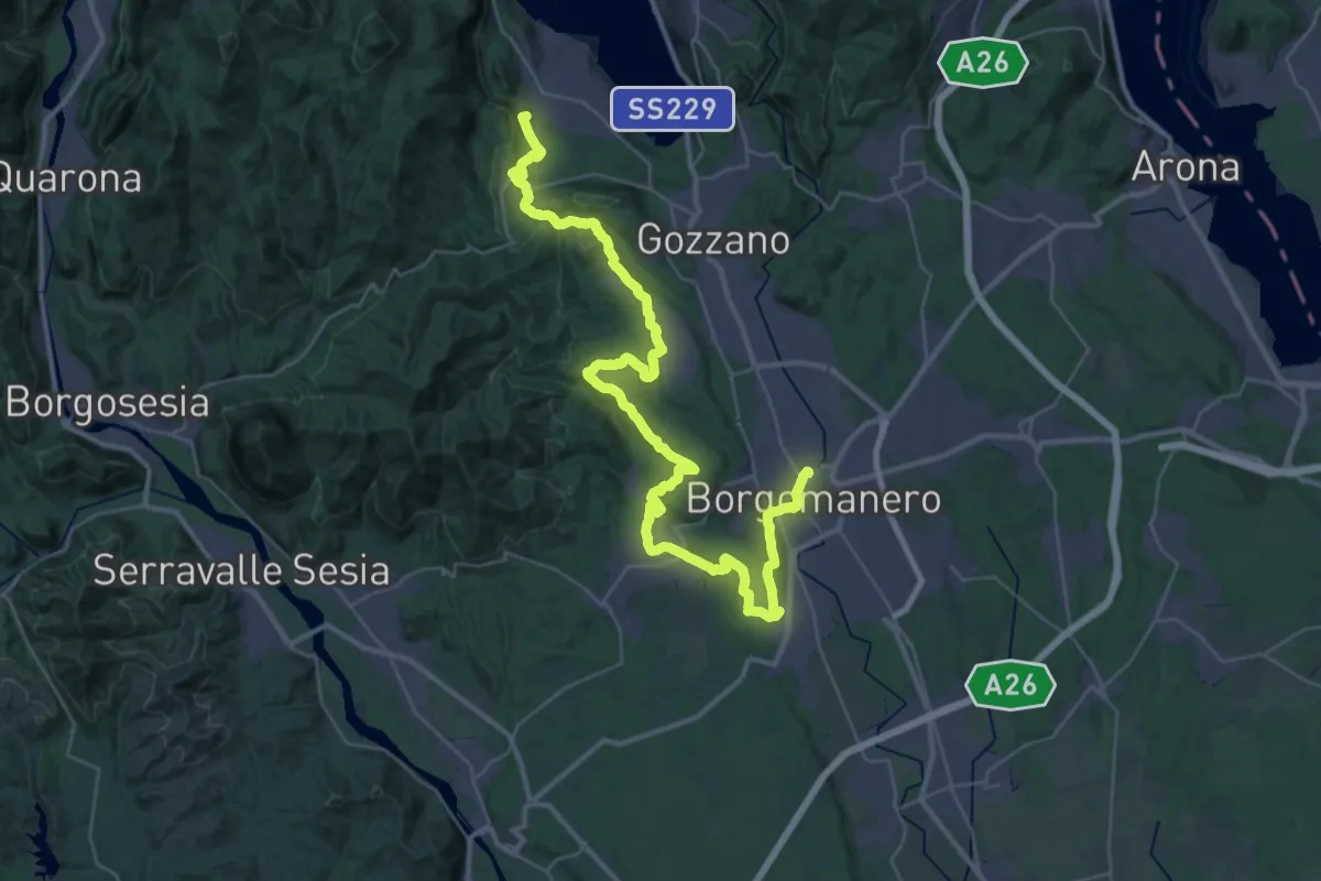
Demanding · Summit
Grand Tour del Lago d'Orta - Tappa 5
47.7 km · ↑ 887 m · 13 h 11 min · 1 km away
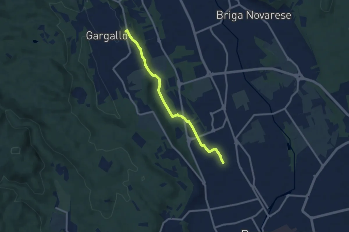
Easy · Trail
Borgomanero, località San Croce – Gargallo, Chiesa Parrocchiale di San Pietro, bivio NOS38-NOT38
6.1 km · ↑ 68 m · 1 h 35 min · 2 km away
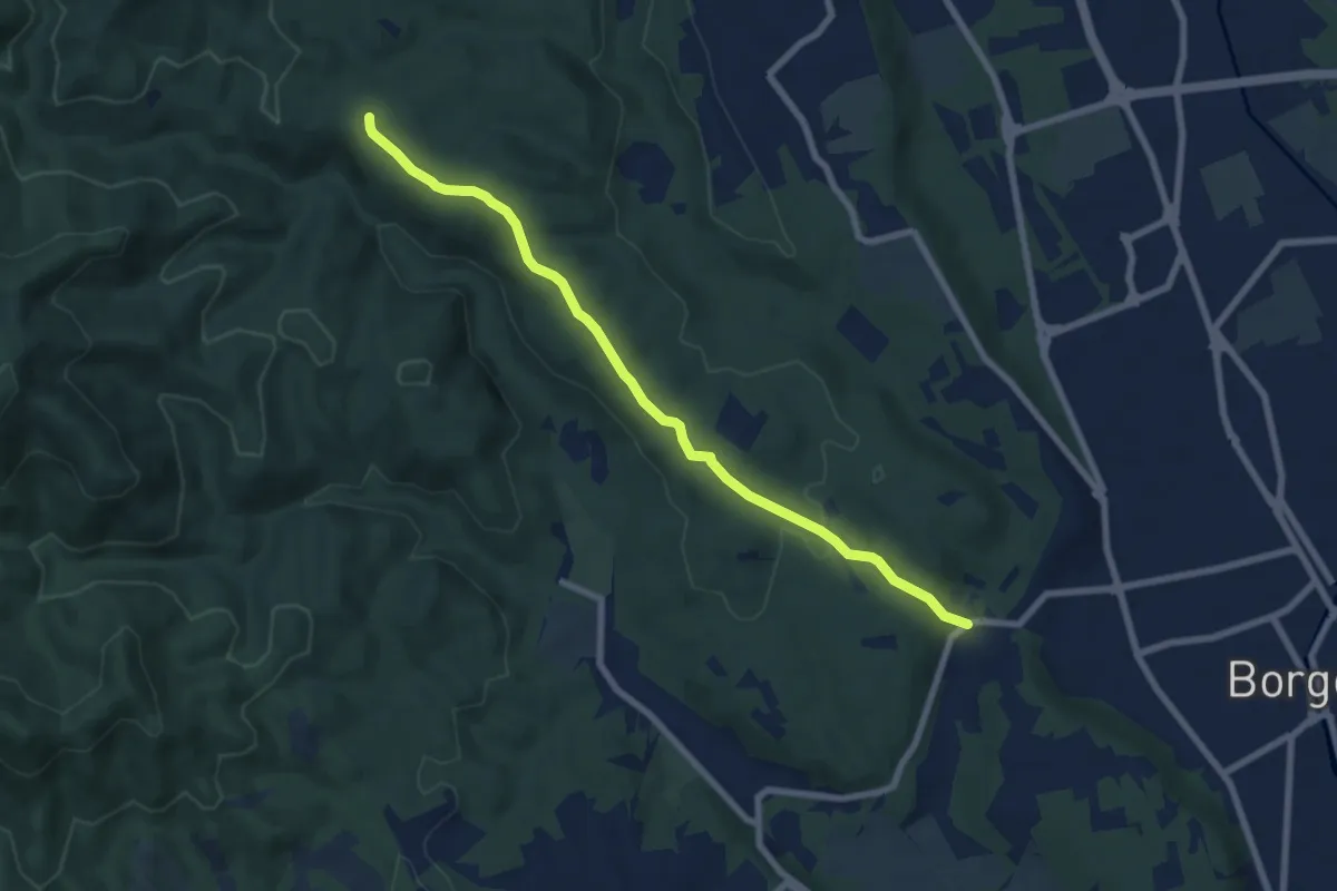
Easy · Trail
Vergano – Piazzale Quaranta
7.6 km · ↑ 164 m · 2 h 9 min · 2 km away
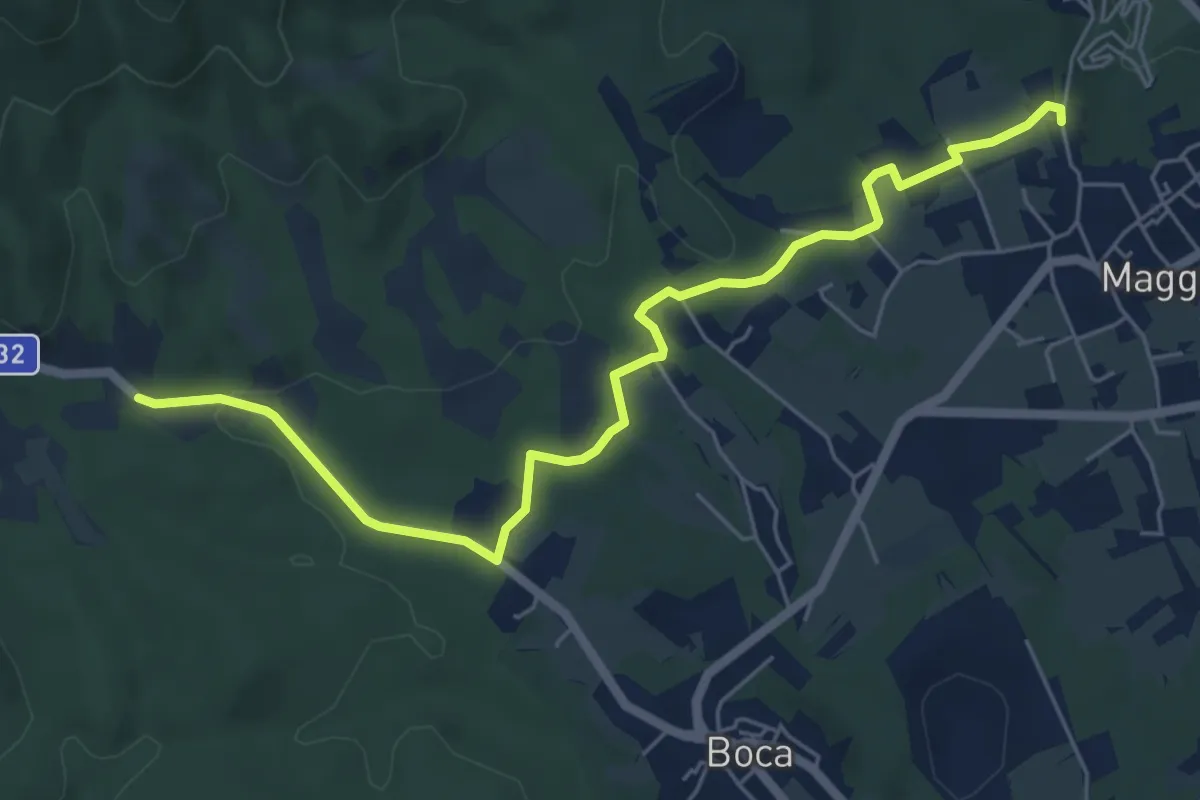
Easy · Trail
Maggiora, bivio NOAN01-NOAN02 – Boca, Santuario di Boca, bivio NOAM02-NOAM03-NOAN01
6.7 km · ↑ 79 m · 1 h 45 min · 3 km away
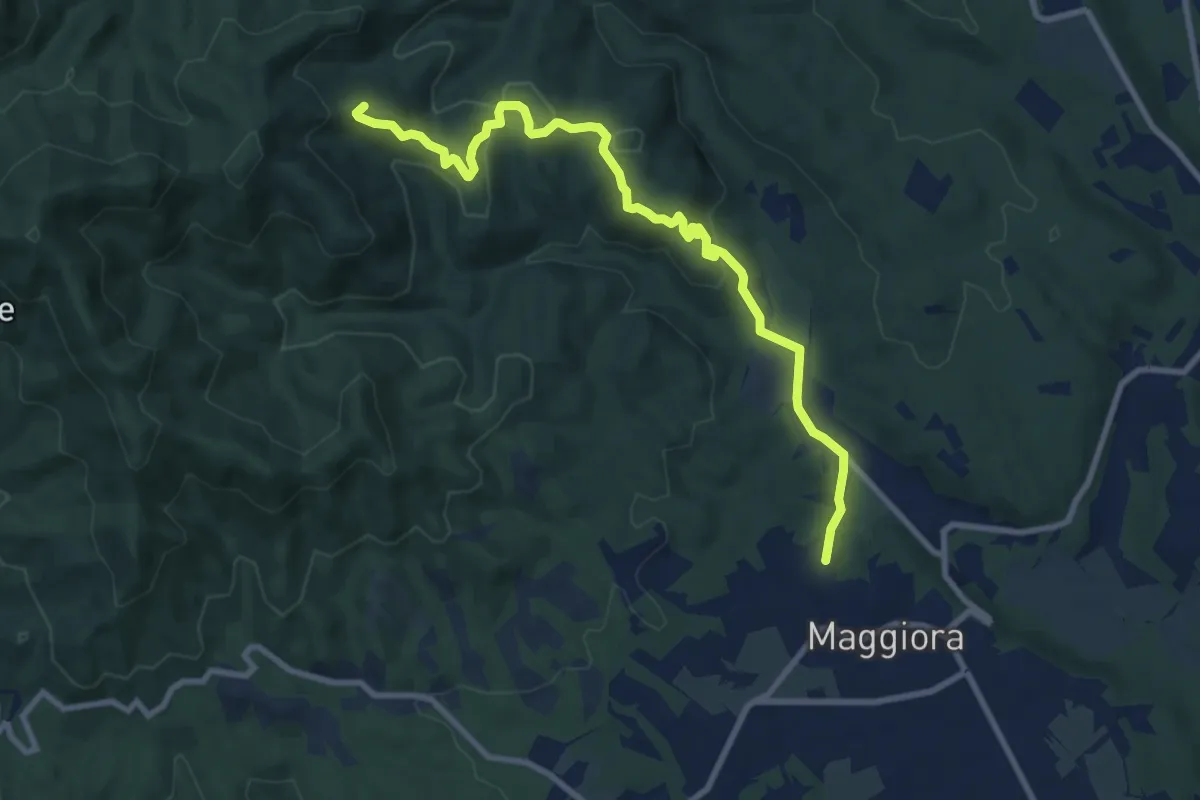
Medium · Summit
Maggiora, bivio NOAN01-NOAN02 – Maggiora, bivio NOAN02-VCA798 presso Cima di Misocco
10.1 km · ↑ 316 m · 3 h 4 min · 3 km away
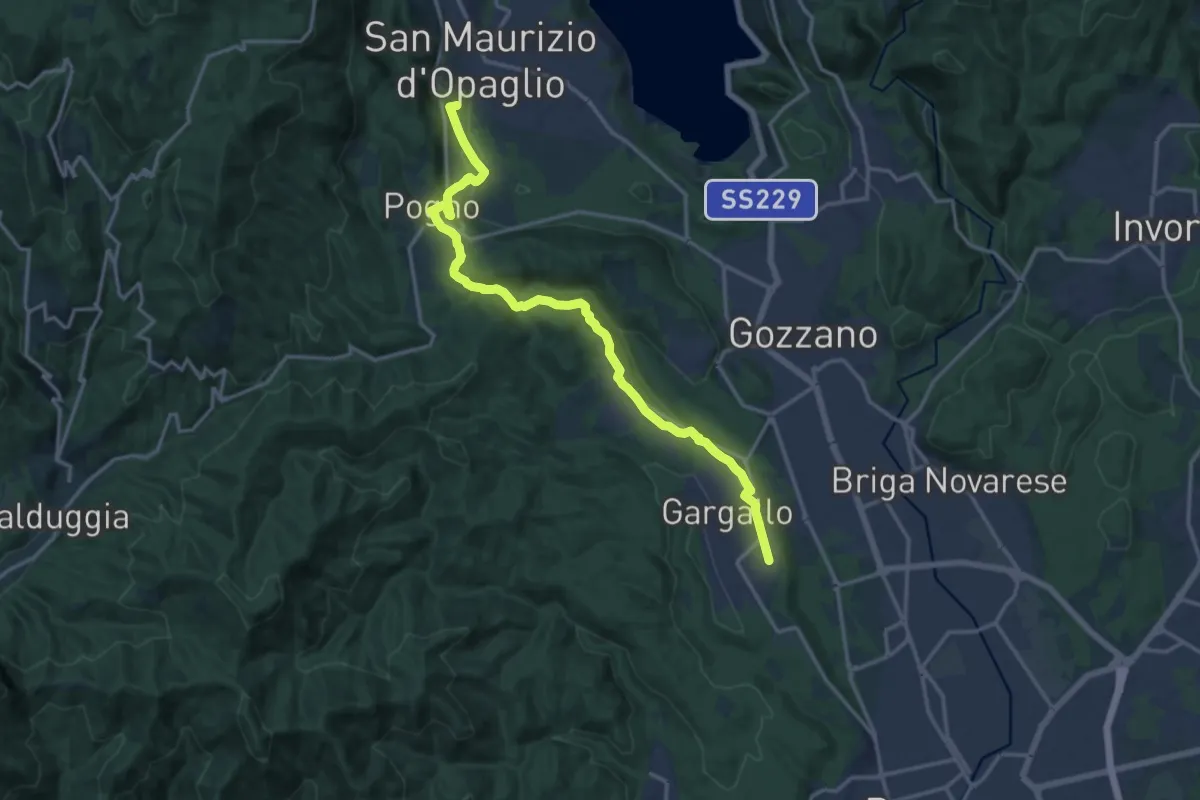
Medium · Summit
T38 - Gargallo - Madonna del Sasso
16.6 km · ↑ 356 m · 4 h 42 min · 4 km away
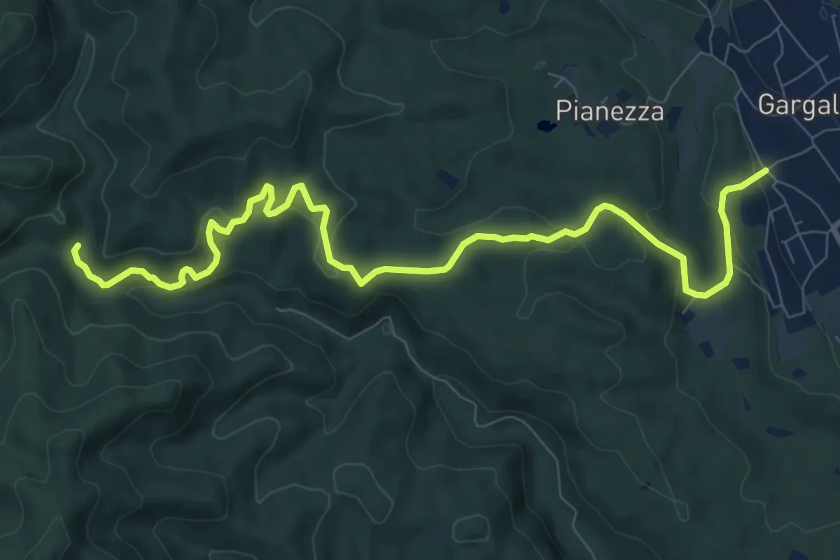
Medium · Trail
Gargallo – Bivio 790-798, Molino Ciotiro
10.2 km · ↑ 380 m · 3 h 14 min · 4 km away
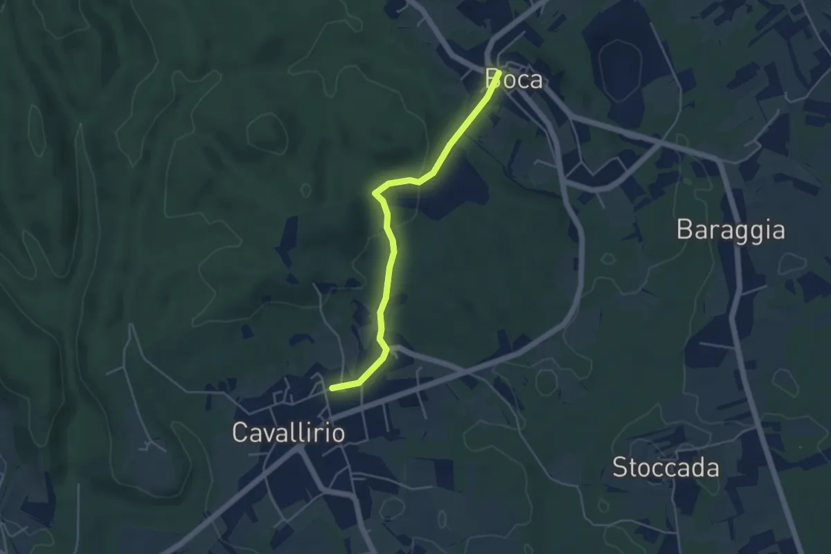
Easy · Trail
Boca – Cavallirio
4.1 km · ↑ 111 m · 1 h 13 min · 5 km away
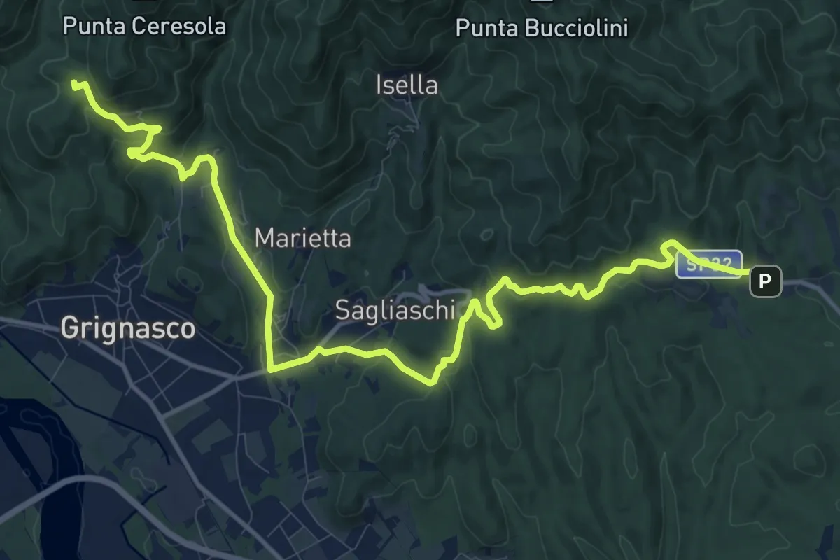
Medium · Trail
Boca, Santuario di Boca, bivio NOAM01-NOAM02-NOAN01 – Grignasco, frazione Bertasacco, bivio NOAM01-VCA772
15.2 km · ↑ 497 m · 4 h 39 min · 6 km away
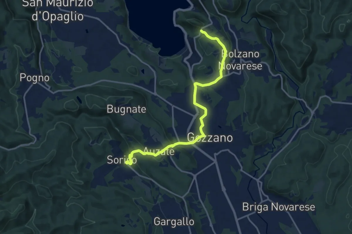
Medium · Trail
Bolzano Novarese, località Cascine della Torre, bivio NOAS10-NOATU2A – Soriso, bivio NOAS10-NOAT38
11.9 km · ↑ 235 m · 3 h 19 min · 6 km away
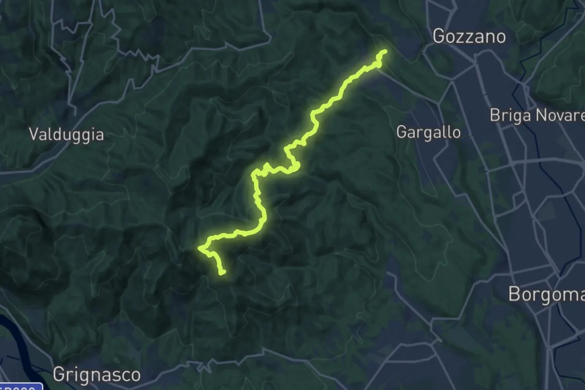
Demanding · Summit
Sentiero Novara tappa 17
19.2 km · ↑ 984 m · 6 h 39 min · 6 km away
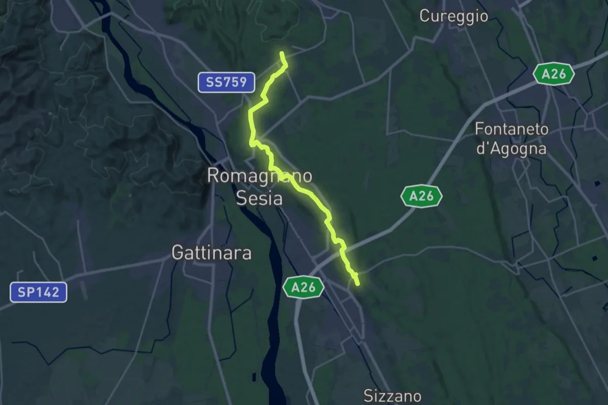
Demanding · Trail
Sentiero Novara tappa 18
18.7 km · ↑ 109 m · 4 h 40 min · 6 km away
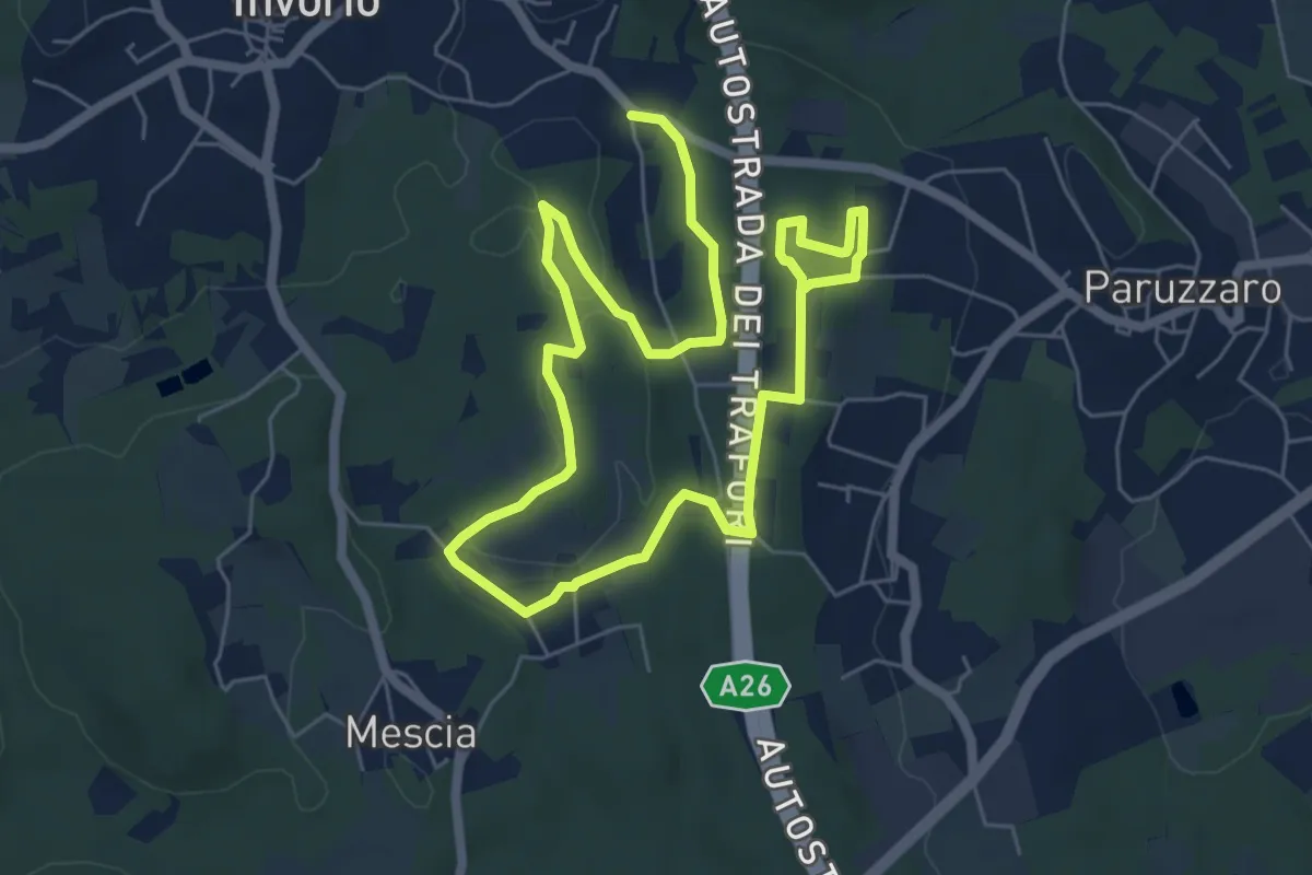
Easy · Trail
Percorso della Memoria
5.2 km · ↑ 55 m · 1 h 26 min · 7 km away
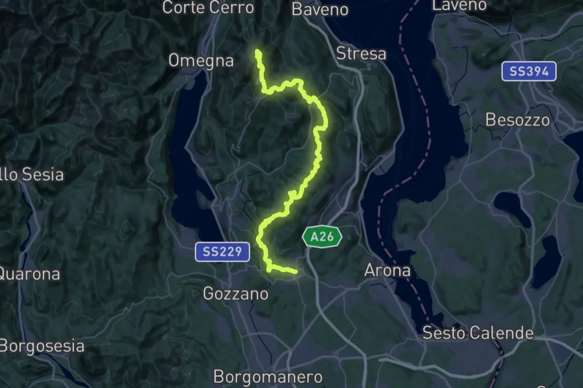
Demanding · Summit
V00 - Dorsale Vergante
57.1 km · ↑ 2393 m · 18 h 39 min · 7 km away
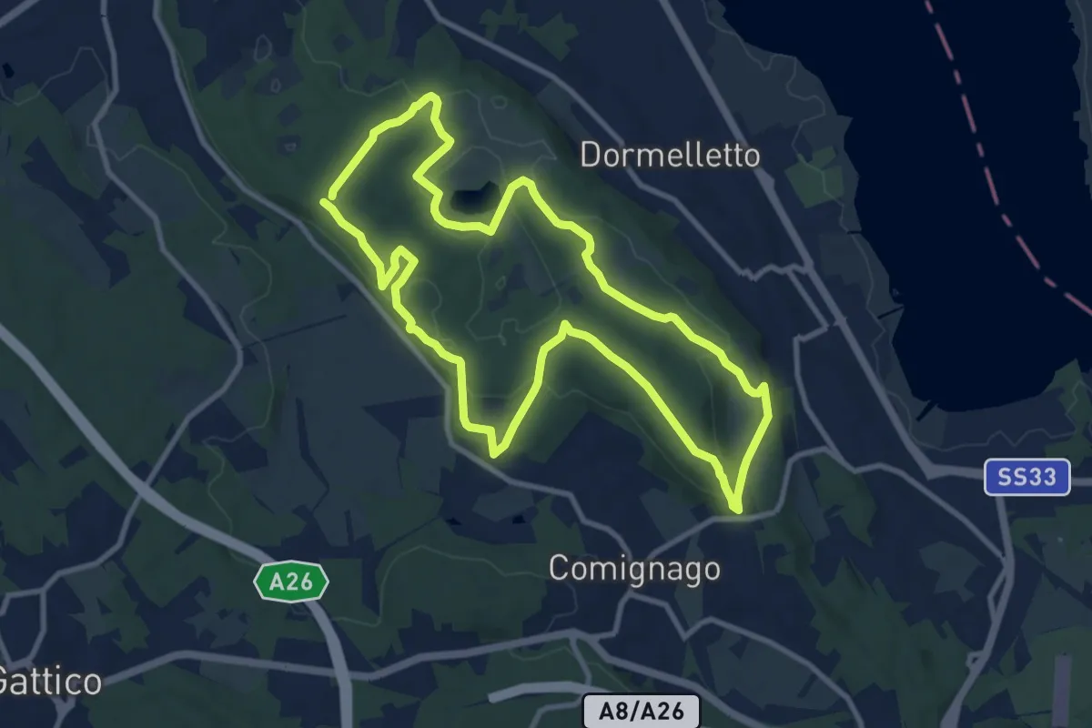
Medium · Summit
I boschi
10.1 km · ↑ 175 m · 2 h 53 min · 7 km away
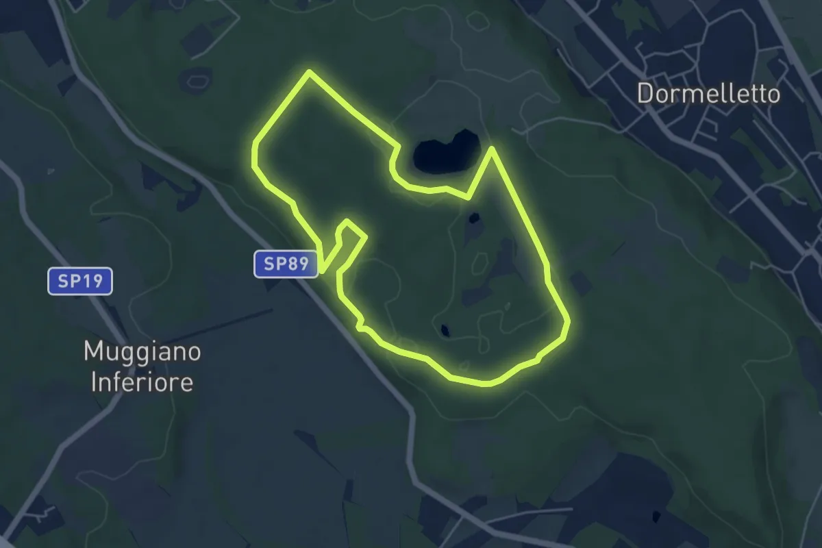
Easy · Summit
L'Archeologia
4.9 km · ↑ 73 m · 1 h 23 min · 7 km away
Medium · Summit
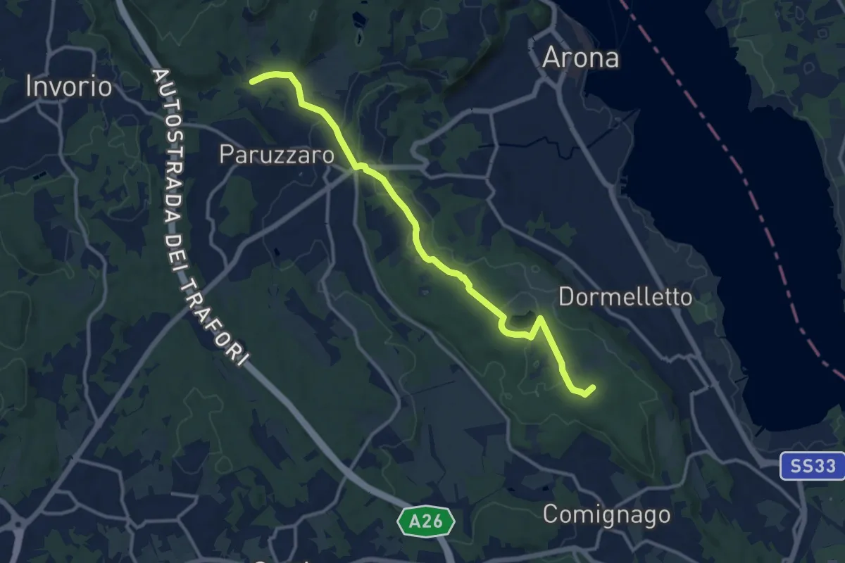
Sentiero Novara tappa 13
12.1 km · ↑ 108 m · 3 h 5 min · 8 km away
Easy · Trail
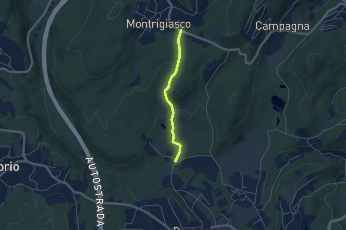
VA3 - Paruzzaro - Montrigiasco
3.3 km · ↑ 104 m · 1 h · 8 km away
Medium · Summit
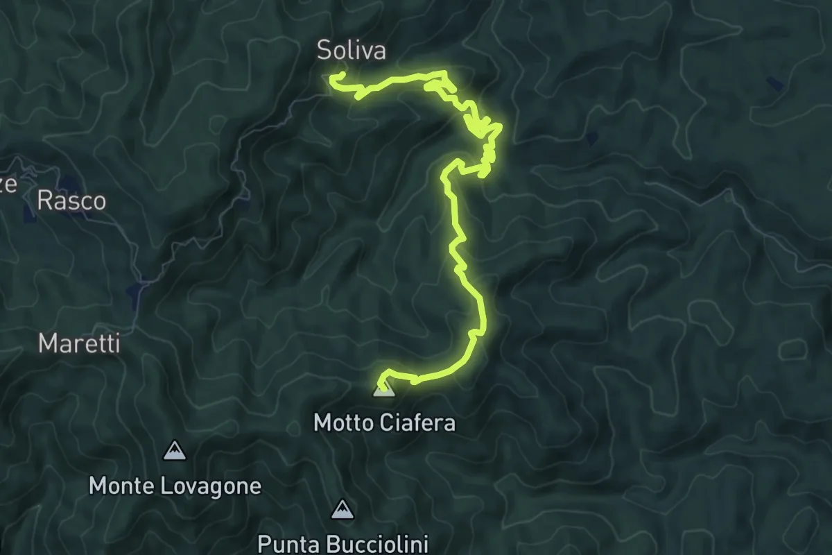
Bivio 795A-798, Soliva – Bivio 765-798, Castagnola
10.1 km · ↑ 602 m · 3 h 42 min · 8 km away
Easy · Trail
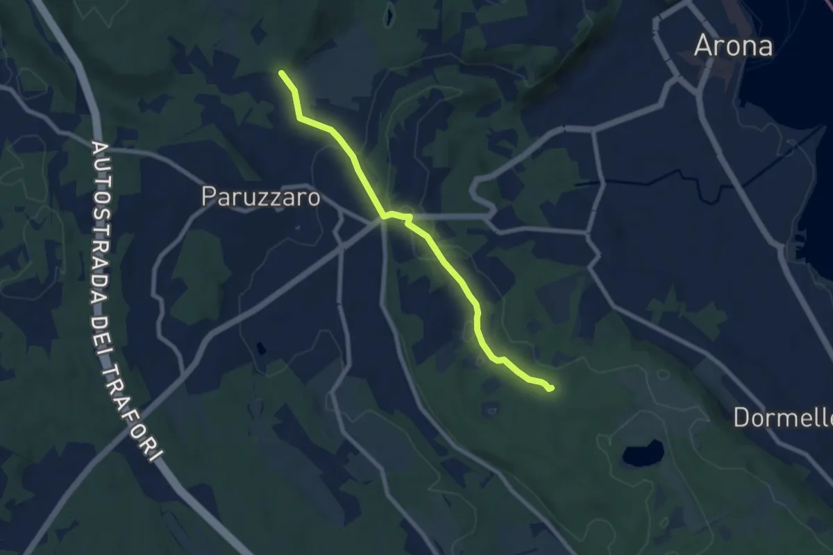
Oleggio Castello località Motto Lagone – Paruzzaro località San Eufemia, bivio NOAR09-NOAS08-NOAP02
6.4 km · ↑ 49 m · 1 h 37 min · 8 km away
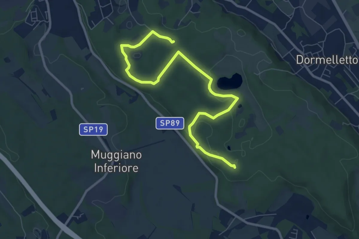
Medium · Summit
Le zone umide
8.7 km · ↑ 104 m · 2 h 17 min · 8 km away
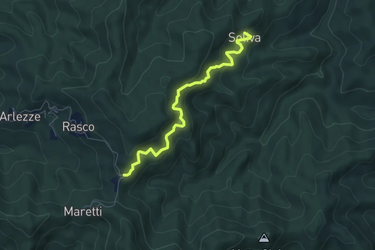
Medium · Trail
Valduggia, località Soliva, bivio VCA795-VCA795A – Valduggia, località Castagnola, bivio VCA765-VCA795
5.6 km · ↑ 538 m · 2 h 29 min · 8 km away
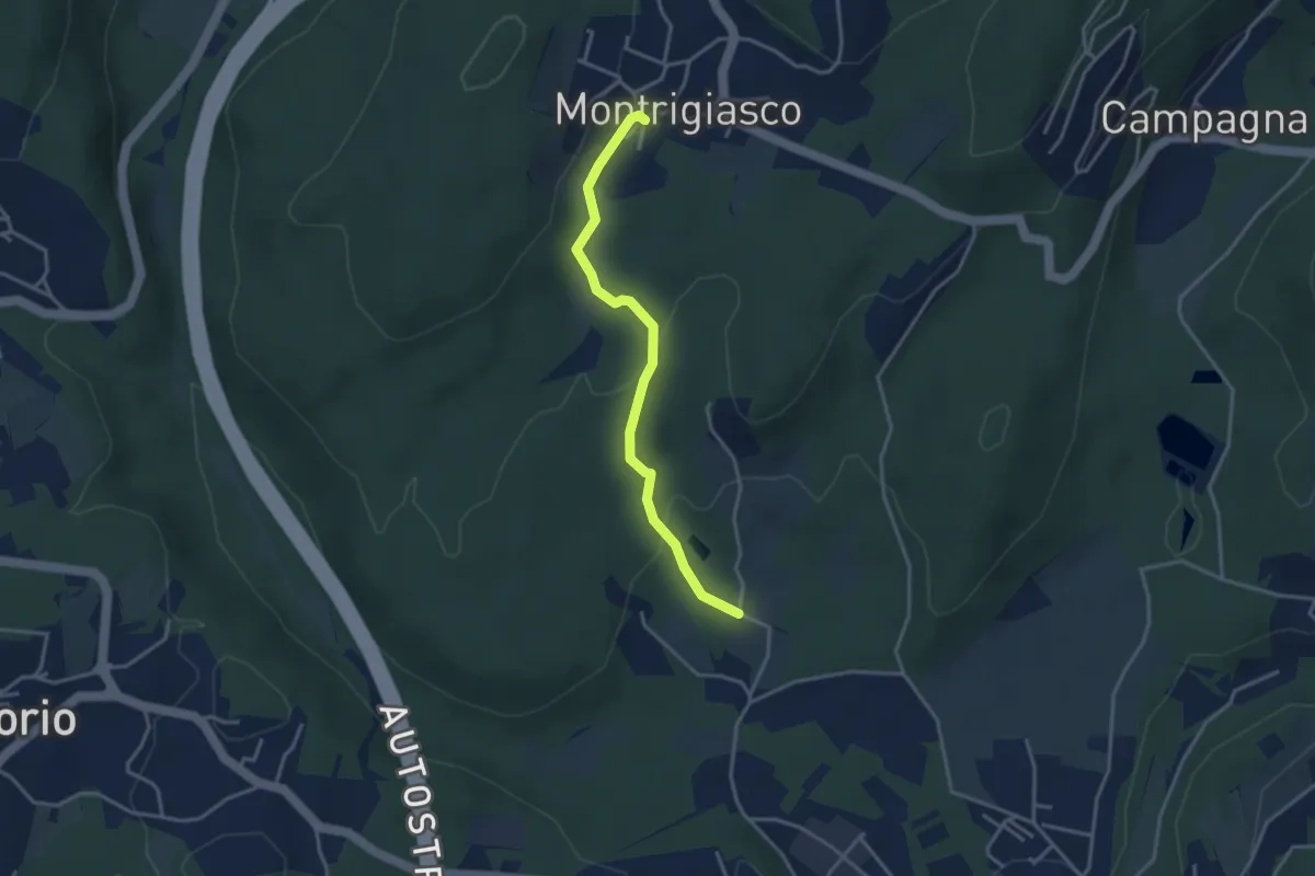
Easy · Trail
VA4 - Santa Eufemia - Montrigiasco
3.4 km · ↑ 118 m · 1 h 3 min · 8 km away
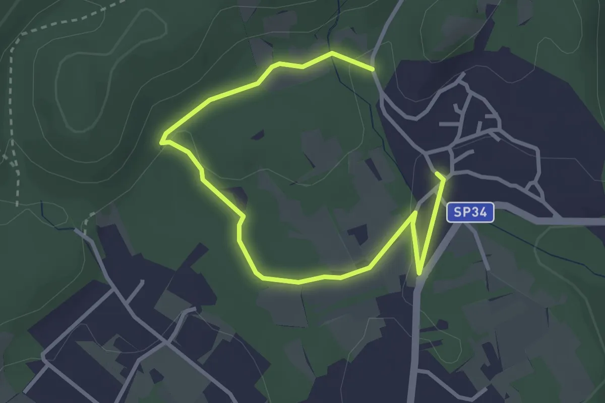
Easy · Trail
Un sentiero da favola - La via degli elfi
3.8 km · ↑ 51 m · 1 h · 8 km away
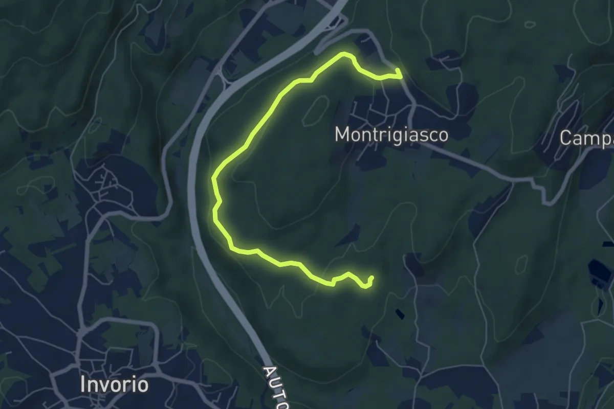
Easy · Trail
VA5 - Sant'Eufemia - Montrigiasco
6.6 km · ↑ 164 m · 1 h 55 min · 8 km away
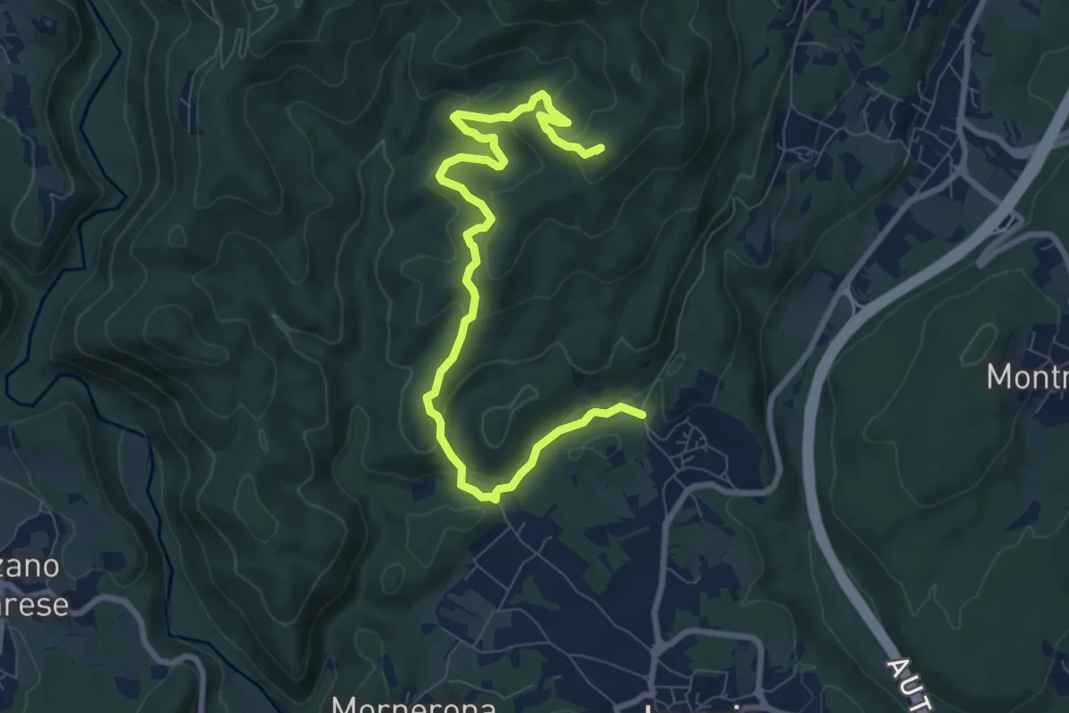
Demanding · Summit
VE1 - Invorio - Bocchetta Borsaga
9.8 km · ↑ 499 m · 3 h 23 min · 8 km away
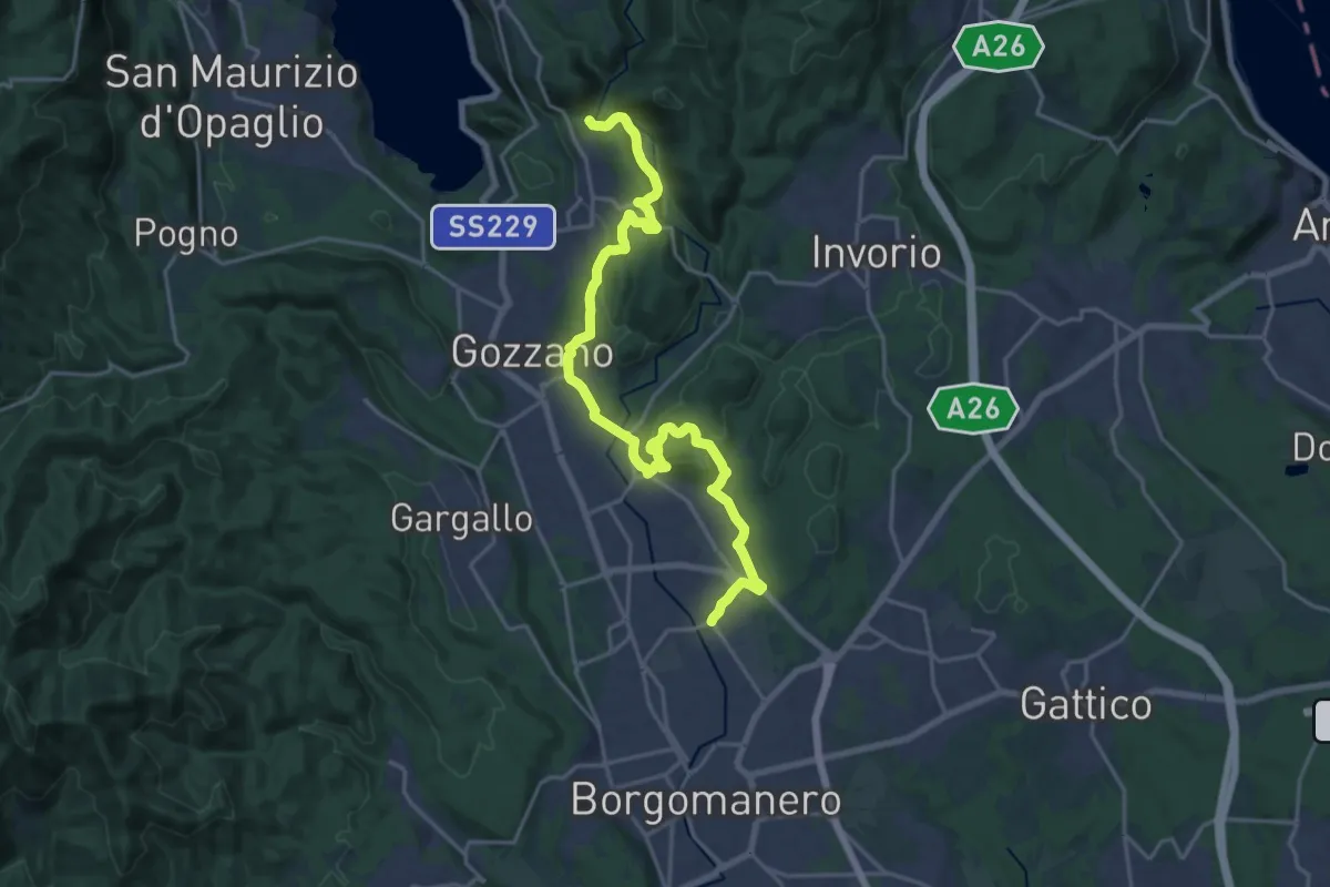
Demanding · Trail
Borgomanero, località San Marco – Bolzano Novarese, presso Torrente Agogna, bivio NOAS13-NOAVU3
22.3 km · ↑ 500 m · 6 h 21 min · 8 km away
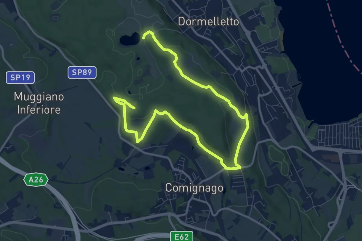
Medium · Summit
Le attività produttive
12.5 km · ↑ 194 m · 3 h 23 min · 8 km away
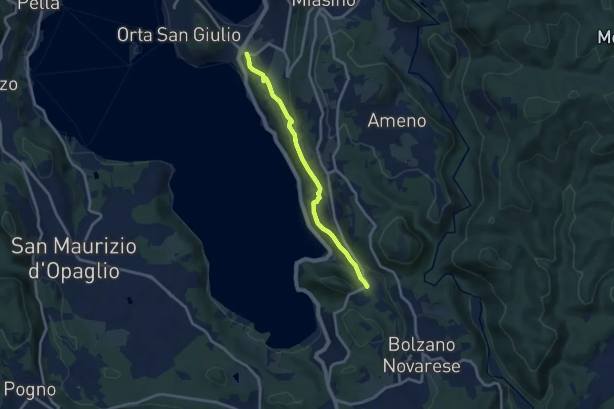
Easy · Trail
Orta San Giulio località Ortello, bivio NOATU1-NOATU2 – Orta San Giulio località Corconio bivio NOAVU2-NOATU2-NOATU2A
7.0 km · ↑ 181 m · 2 h 3 min · 8 km away
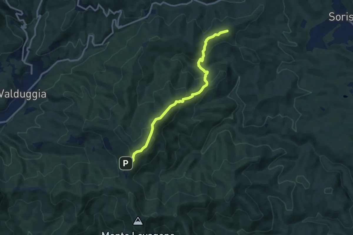
Medium · Summit
Valduggia, Cappella del Crocefisso – Valduggia, località Castagnola, bivio VCA765-VCA795
8.0 km · ↑ 541 m · 3 h 4 min · 9 km away
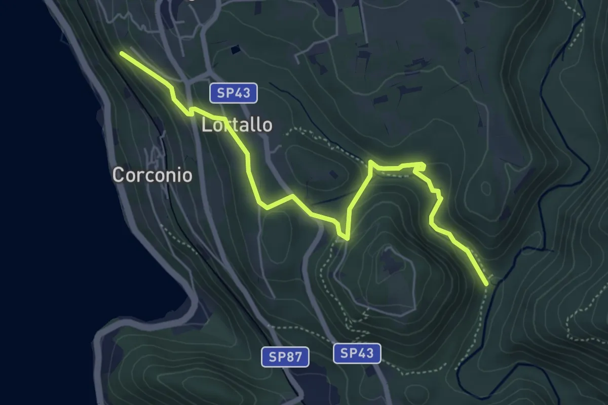
Easy · Trail
VU2 - Corconio - Località La Fucina
5.6 km · ↑ 189 m · 1 h 44 min · 9 km away
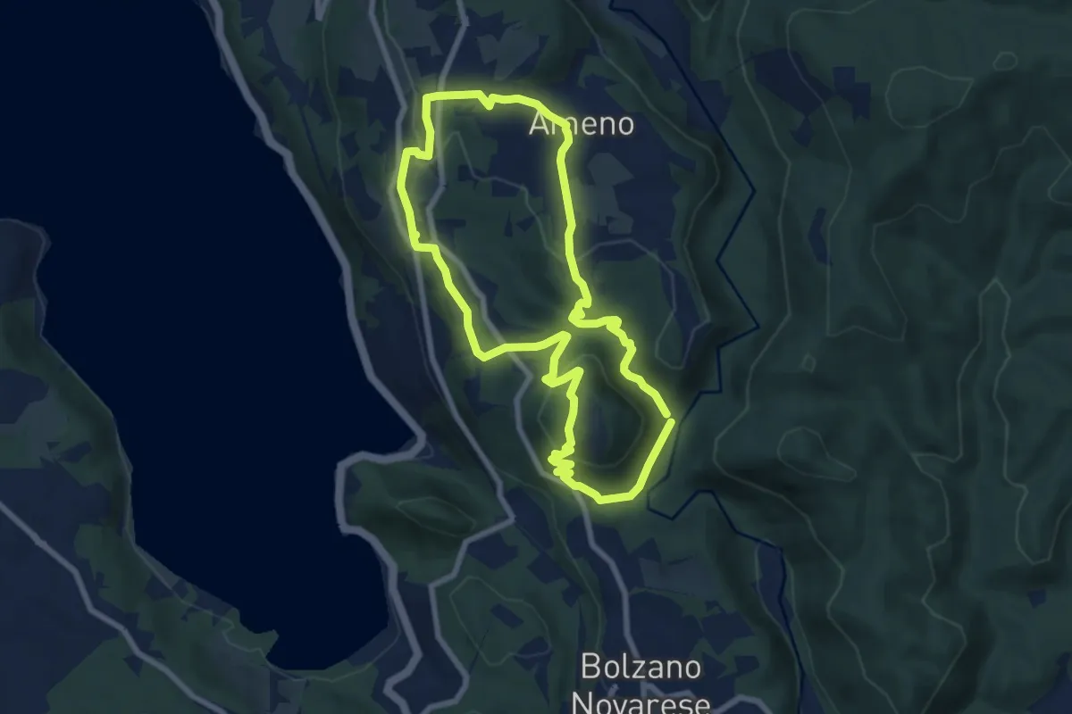
Easy · Trail
Anello Celeste
7.1 km · ↑ 230 m · 2 h 17 min · 9 km away
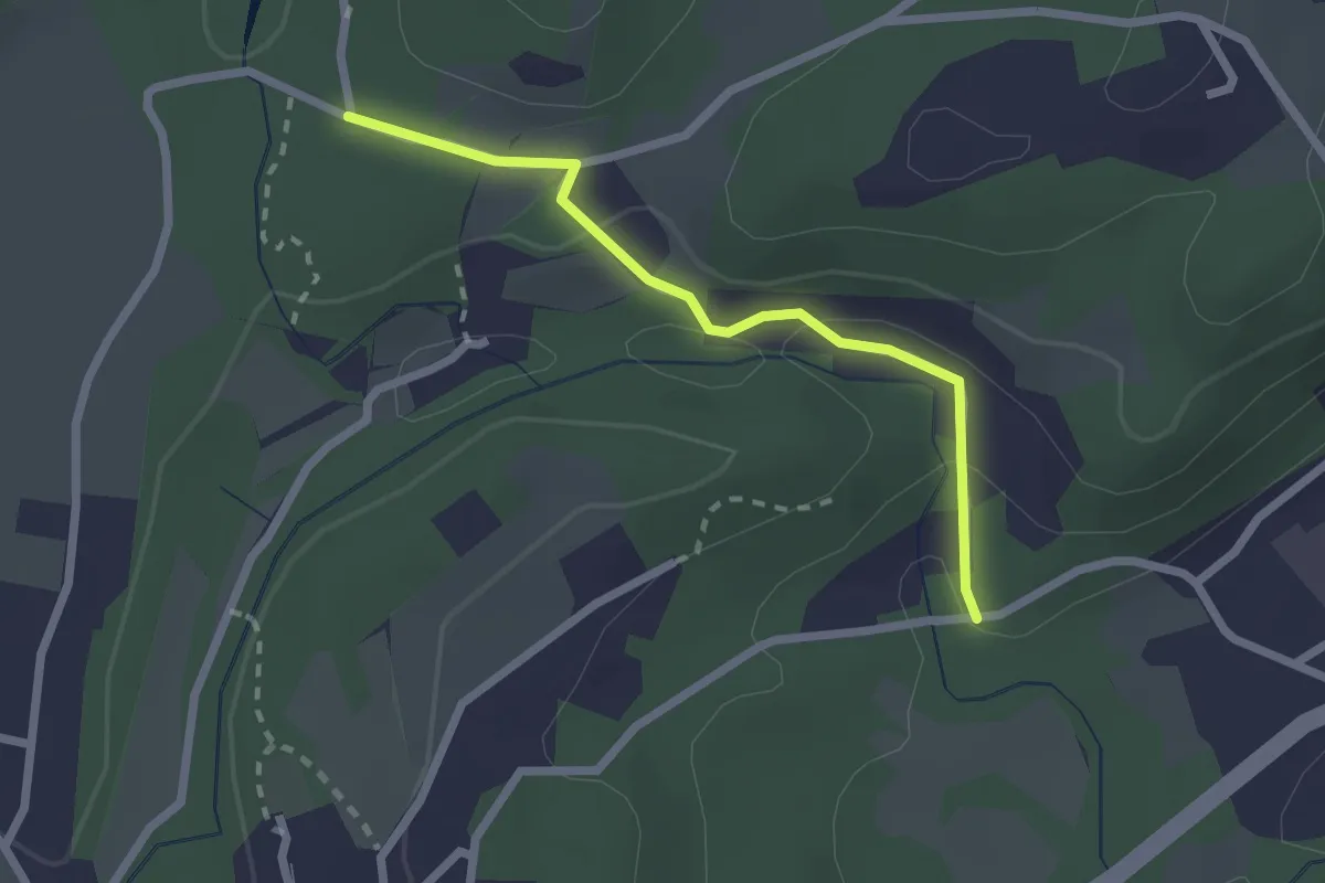
Easy · Trail
VA1a - Cascina Maglia - Cicognone di Sotto
2.2 km · ↑ 69 m · 40 min · 9 km away
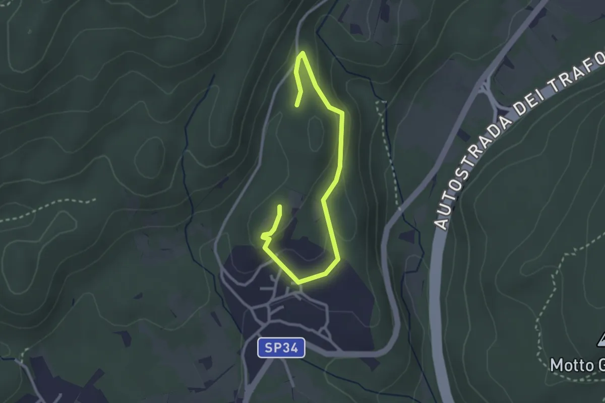
Easy · Trail
Un sentiero da favola - La via dei folletti
3.1 km · ↑ 87 m · 55 min · 9 km away
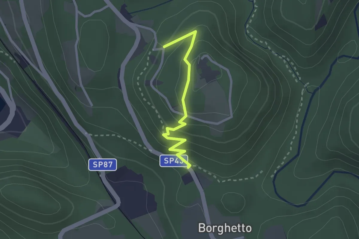
Easy · Trail
VU2a - Borghetto - Convento di Mesma
2.2 km · ↑ 183 m · 55 min · 9 km away
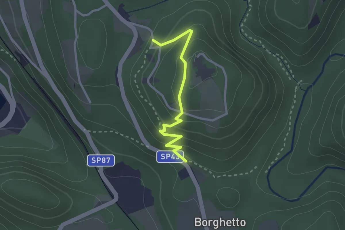
Easy · Trail
Vie Crucis Monte Mesma
2.3 km · ↑ 197 m · 58 min · 9 km away
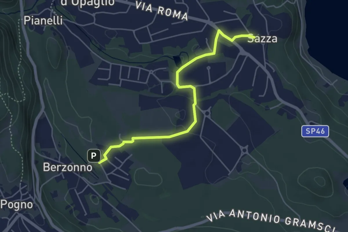
Easy · Trail
T38b - Torlacqua - Madonna delle Grazie
4.5 km · ↑ 48 m · 1 h 10 min · 9 km away
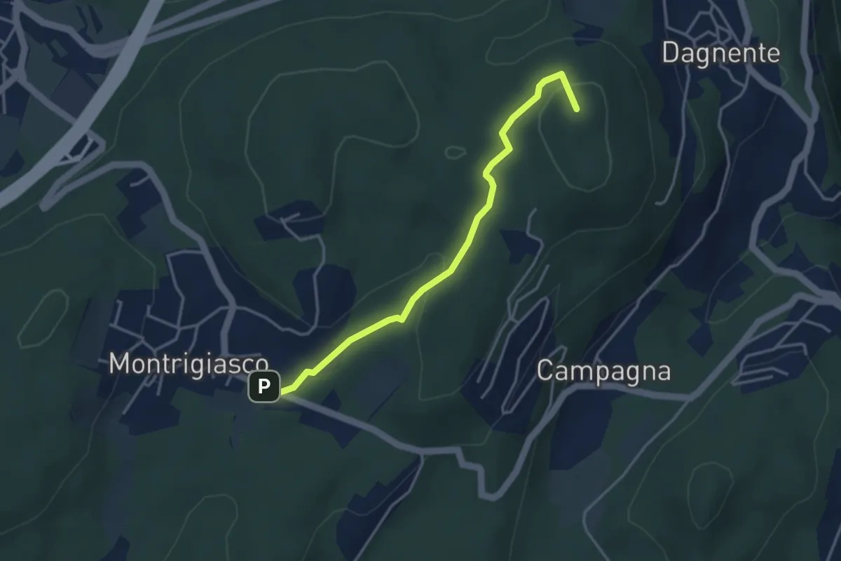
Medium · Summit
VA9 - Montrigiasco - Dagnente
3.6 km · ↑ 104 m · 1 h 4 min · 9 km away
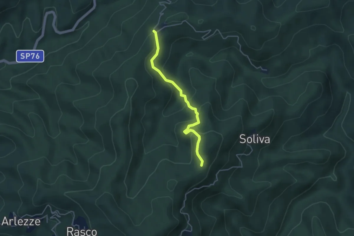
Easy · Trail
Valduggia, località Bertagnina, bivio VCA796-VCA765 – Valduggia, località Sorzano, bivio VCA796-VCA795
3.5 km · ↑ 222 m · 1 h 19 min · 9 km away
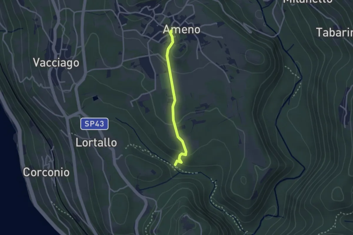
Easy · Trail
VU4 - Ameno - Monte Mesma
2.3 km · ↑ 72 m · 41 min · 9 km away
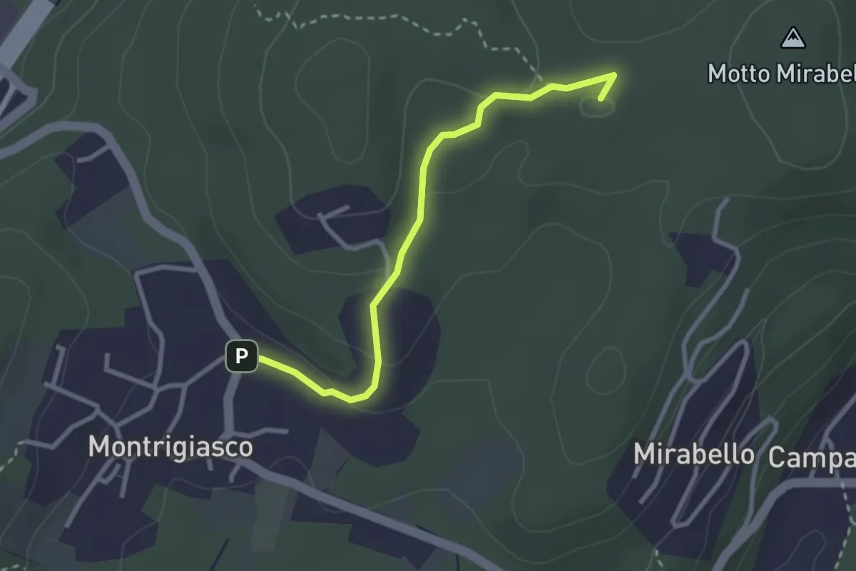
Easy · Summit
VA7 - Montrigiasco - Bivio VA8
2.7 km · ↑ 86 m · 50 min · 9 km away
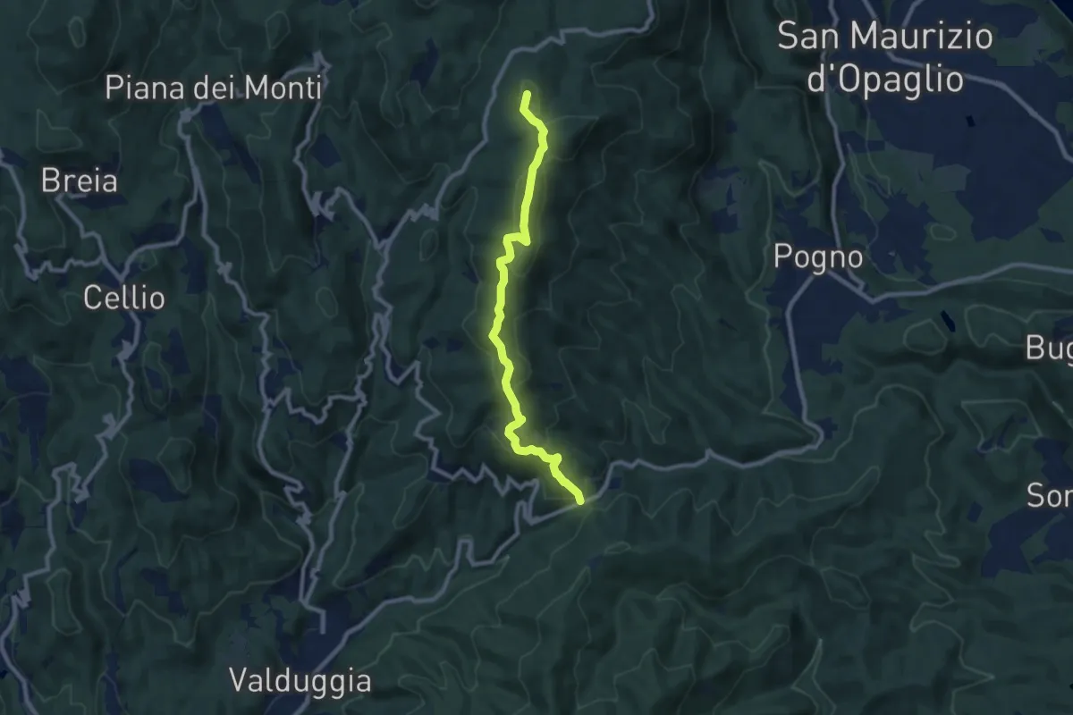
Medium · Summit
Valduggia, San Bernardo della Cremosina, bivio VCA760-VCA765 – Madonna del Sasso, località Sabbioni, bivio strada per Valpiana
8.5 km · ↑ 414 m · 2 h 54 min · 9 km away
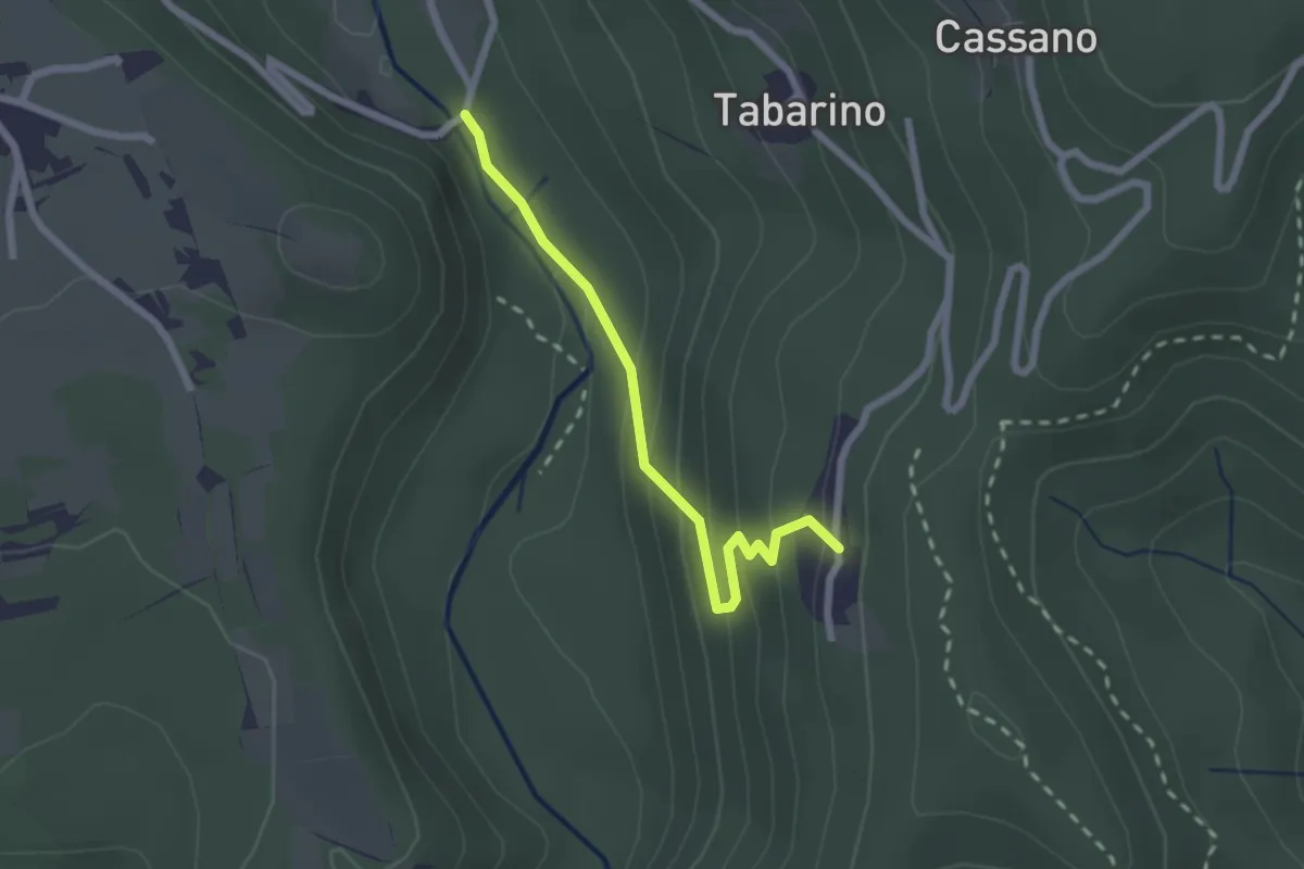
Easy · Trail
VU3 - Ameno - Pecorino
2.2 km · ↑ 158 m · 52 min · 9 km away
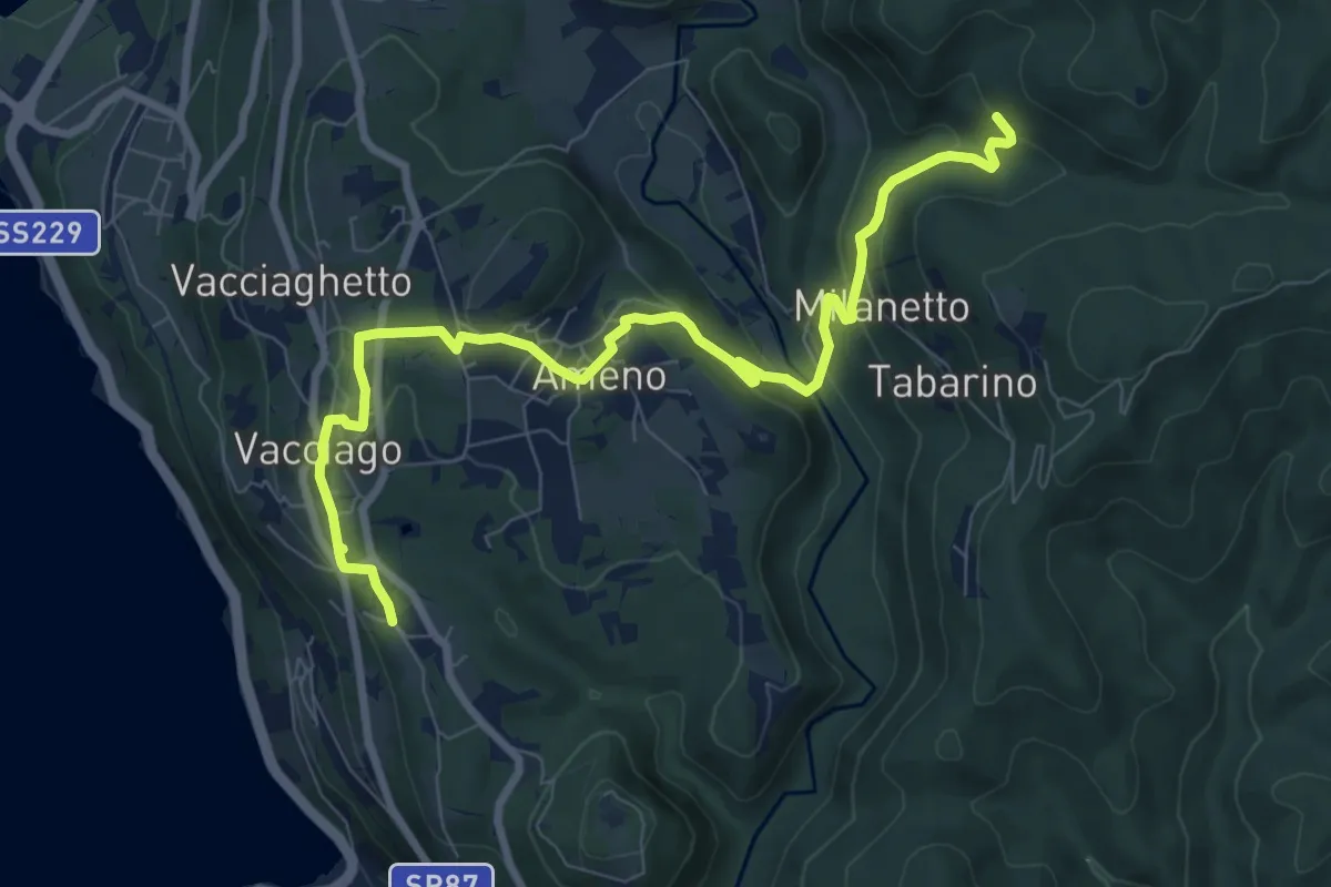
Medium · Trail
VU5 - Lortallo - Tacchino
9.5 km · ↑ 377 m · 3 h 3 min · 9 km away
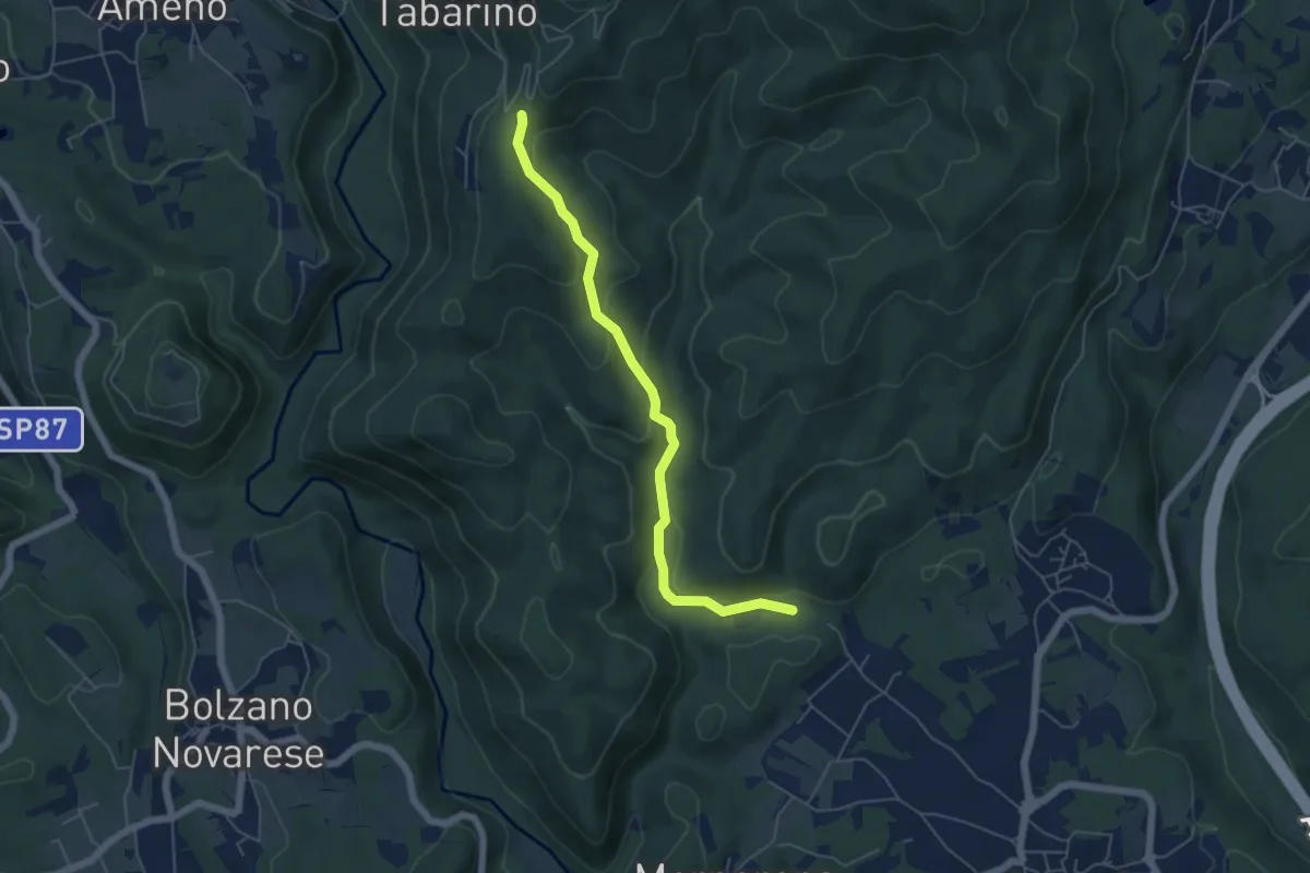
Easy · Trail
VE6 - Invorio - Pecorino
5.4 km · ↑ 193 m · 1 h 41 min · 10 km away
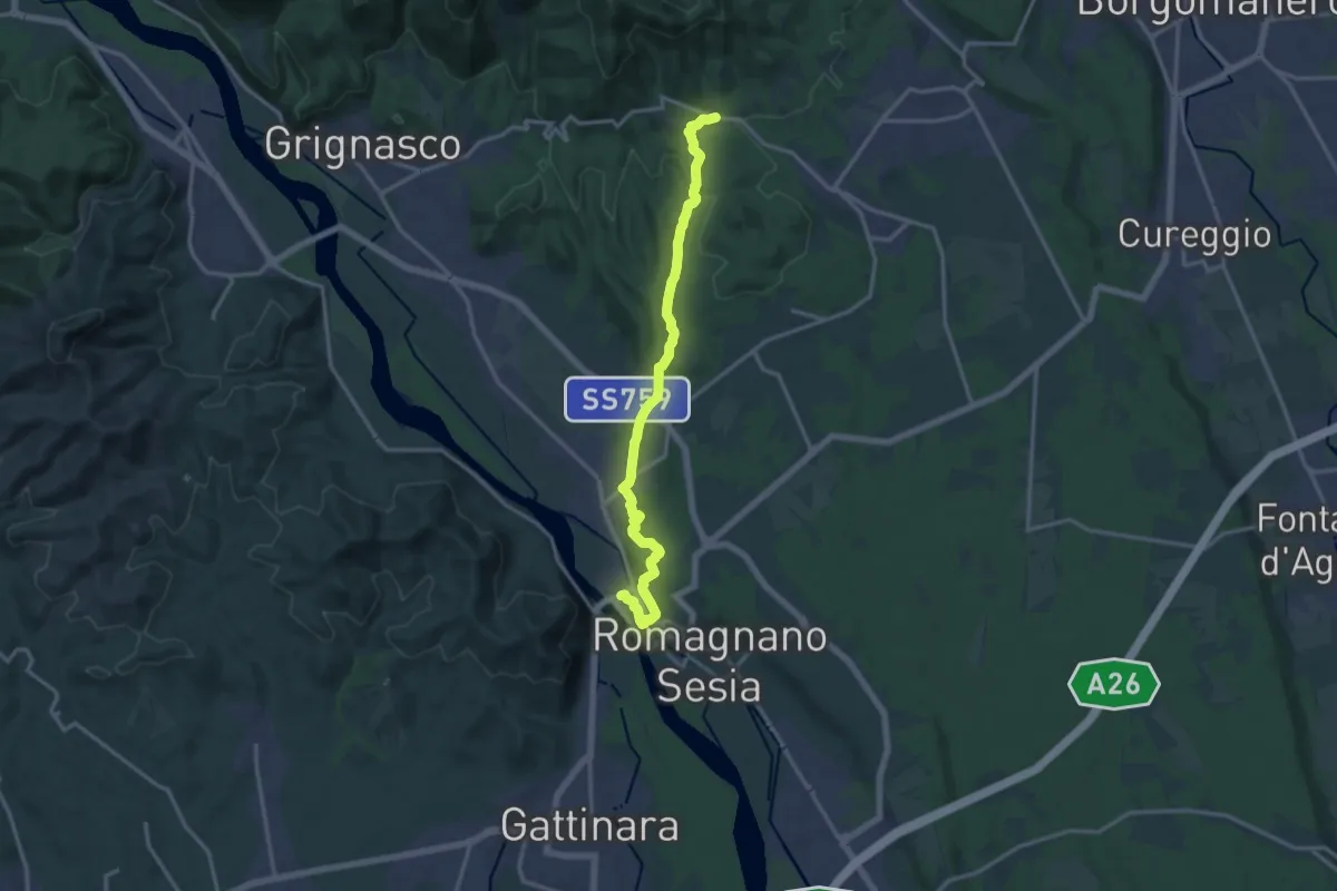
Medium · Trail
Romagnano Sesia, ponte sul Sesia, bivio NOAM03 - VCA782 – Boca, Santuario di Boca, bivio NOAM01-NOAM02-NOAN01
15.0 km · ↑ 330 m · 4 h 15 min · 10 km away
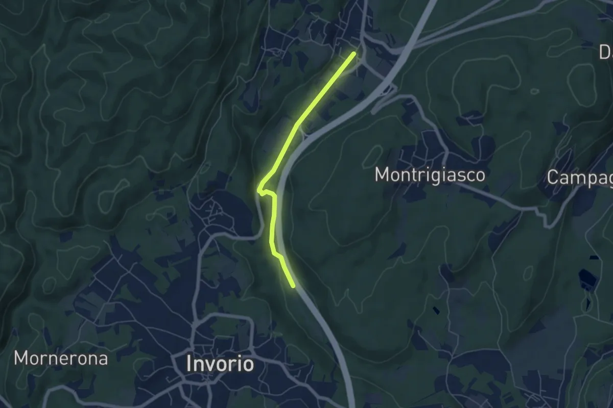
Easy · Trail
Bivio R08-S08, Meina – Bivio R05-R08, Ghevio
4.9 km · ↑ 82 m · 1 h 20 min · 10 km away
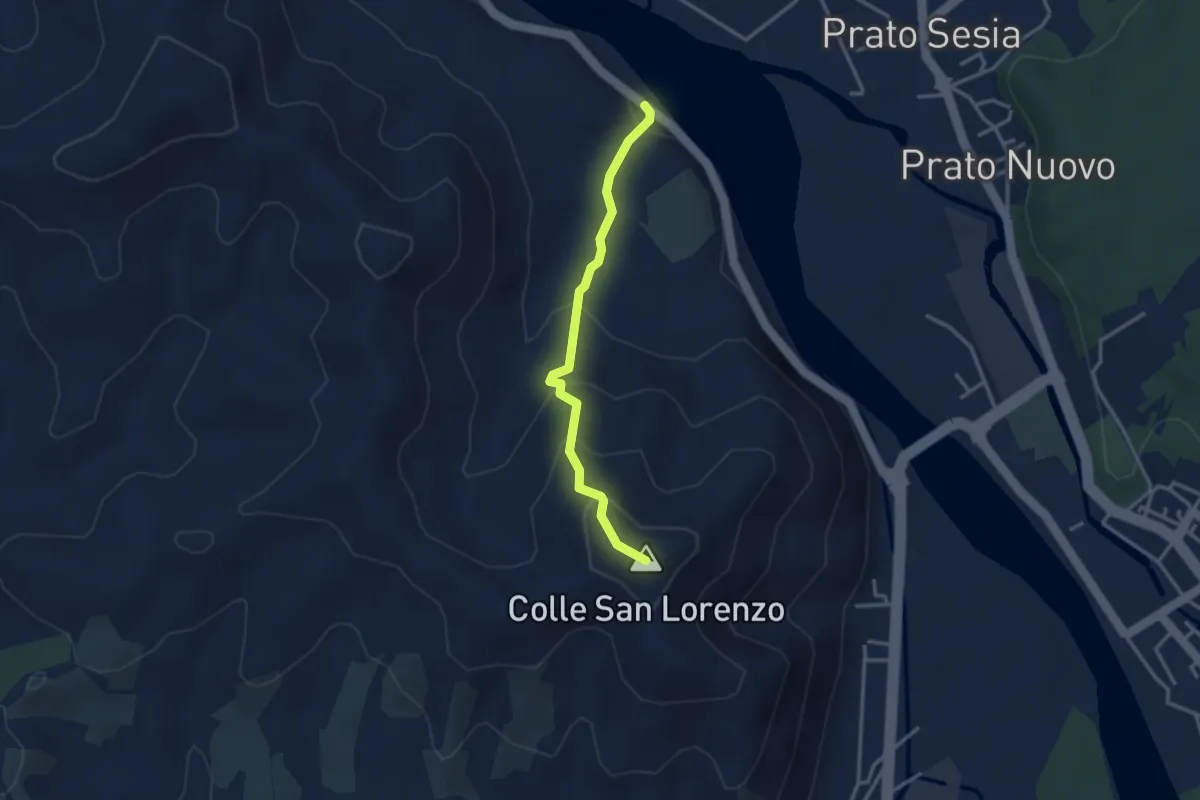
Easy · Summit
SP165 – Colle di San Lorenzo
3.0 km · ↑ 223 m · 1 h 11 min · 10 km away