Trails near Borgomanero
179 hikes starting within 15 km, nearest first.
Nearest first, page 2 of 4
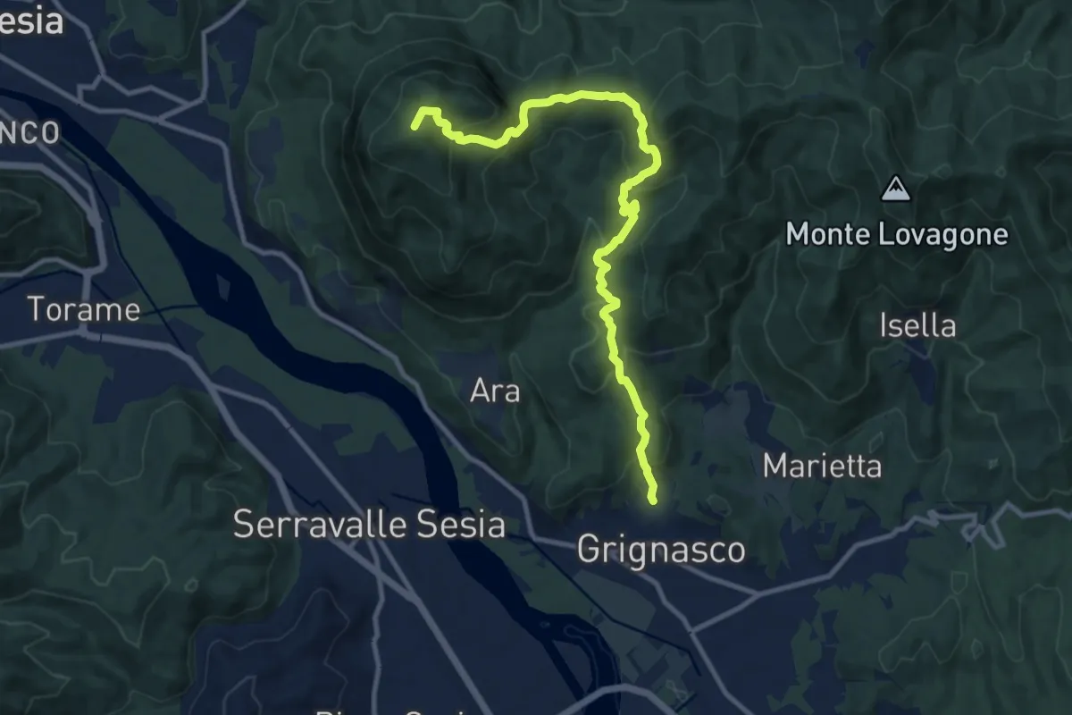
Medium · Summit
Grignasco, concentrico – Cresta del Monte Fenera, bivio VCA772-VCA769
11.2 km · ↑ 775 m · 4 h 19 min · 10 km away
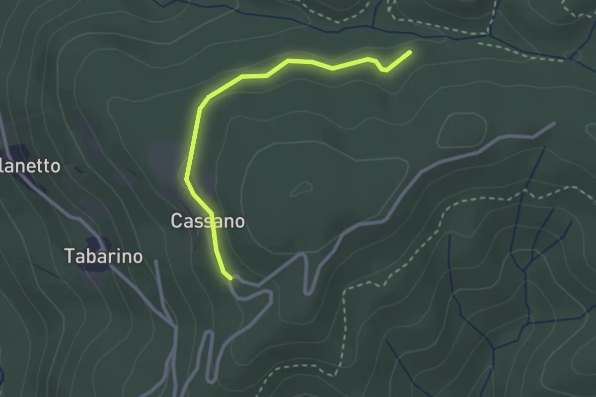
Easy · Trail
VU7 - Cassano - Cappella del Vago
2.3 km · ↑ 46 m · 39 min · 10 km away
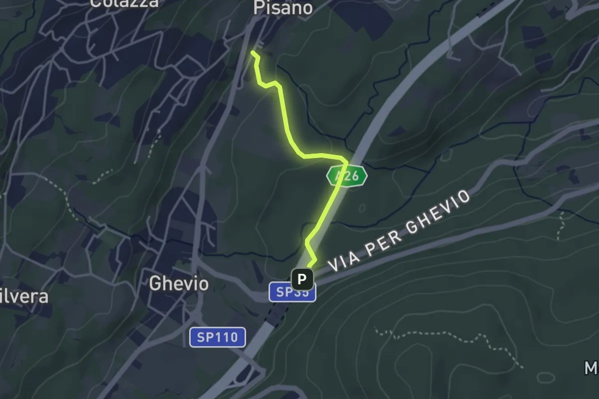
Easy · Trail
Meina – Pisano
2.6 km · ↑ 93 m · 49 min · 10 km away
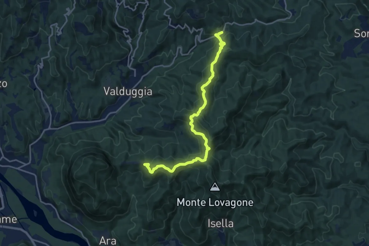
Medium · Trail
Galleria di San Bernardo – Valduggia, frazione Colma, bivio VCA765-VCA772
13.2 km · ↑ 626 m · 4 h 29 min · 10 km away
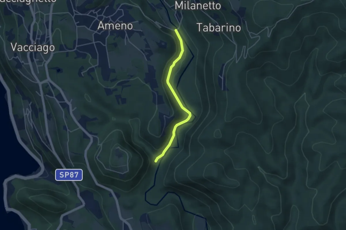
Easy · Trail
VU2b - La Fucina - Ameno
3.6 km · ↑ 104 m · 1 h 4 min · 10 km away
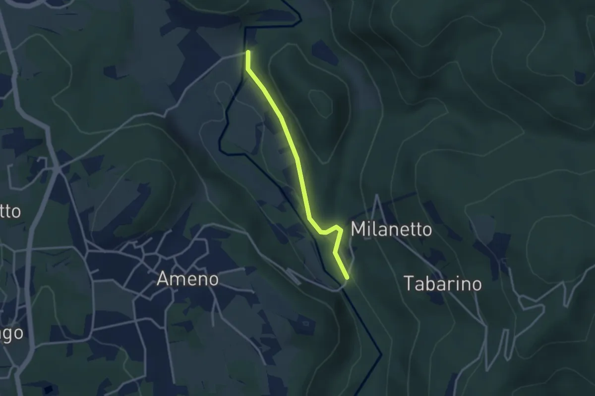
Easy · Trail
VU5c - Ameno - Ponte in Pietra
2.5 km · ↑ 61 m · 43 min · 10 km away
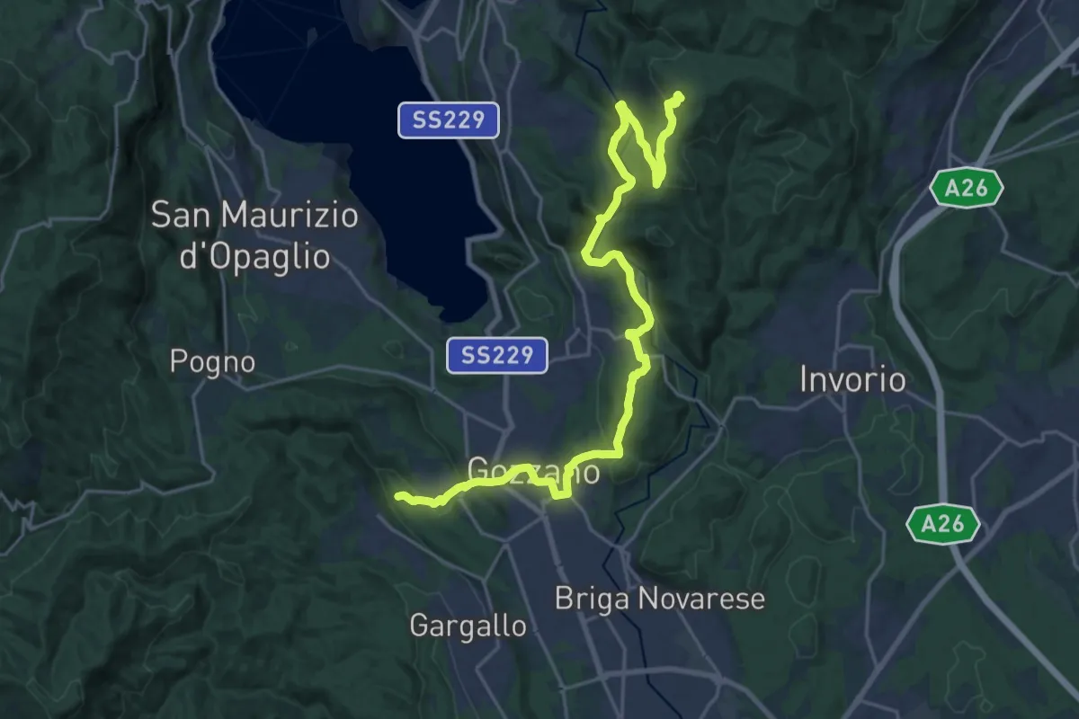
Demanding · Trail
Sentiero Novara tappa 16
24.5 km · ↑ 715 m · 7 h 20 min · 10 km away
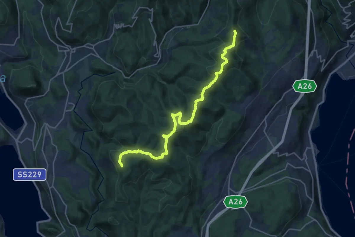
Medium · Summit
Sentiero Novara tappa 15
17.1 km · ↑ 641 m · 5 h 26 min · 10 km away
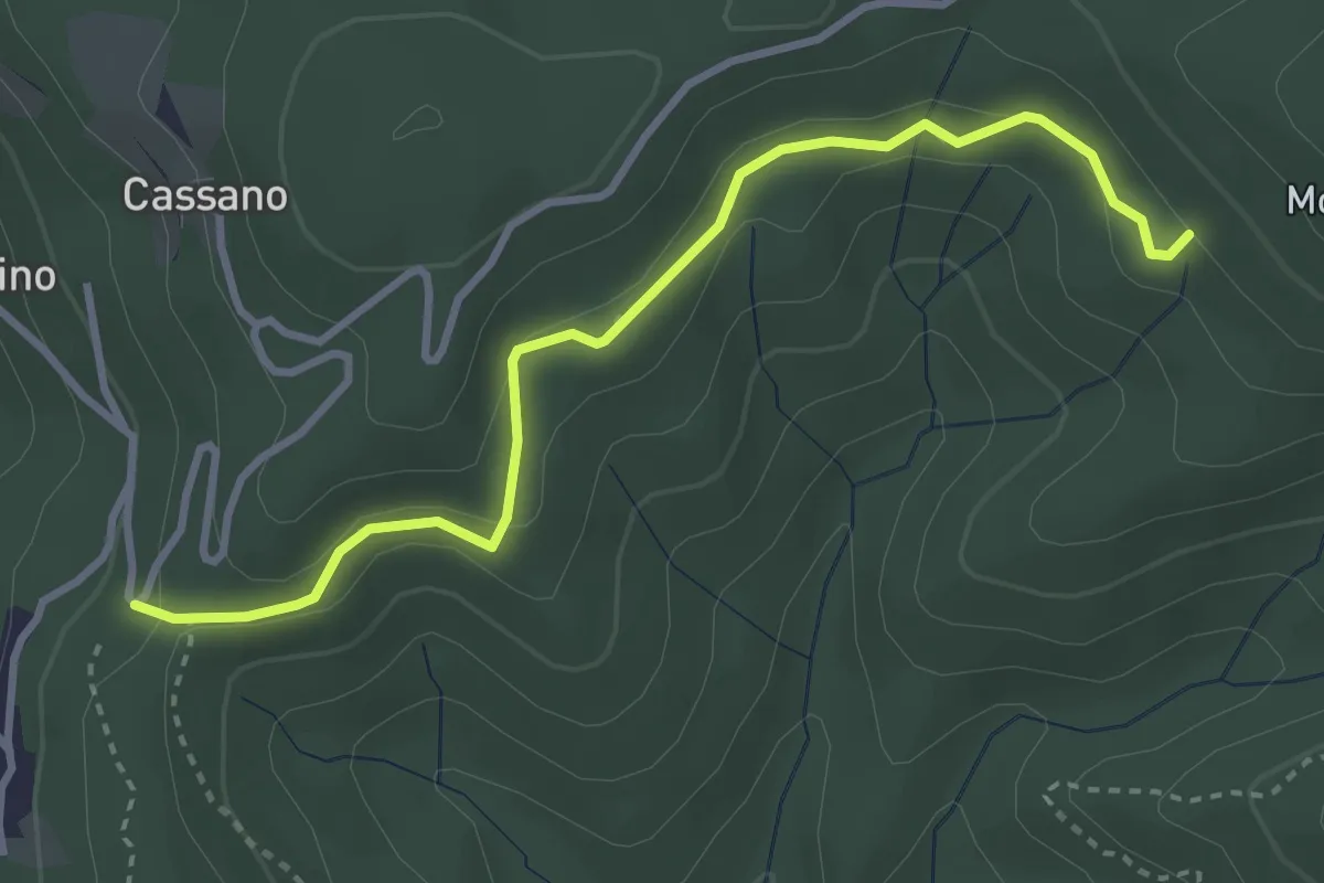
Easy · Trail
VE7 - Pecorino - Tre Fontane
3.6 km · ↑ 155 m · 1 h 11 min · 10 km away
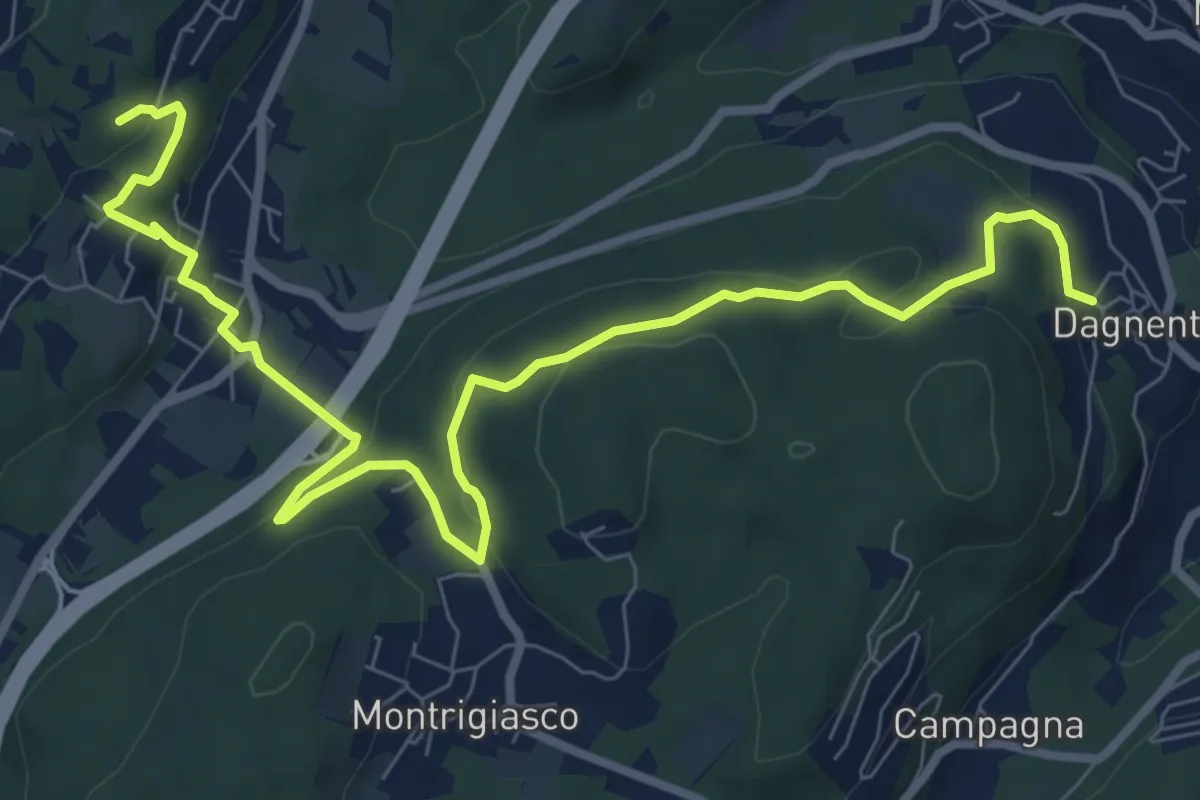
Medium · Trail
VA6 - Dagnente - Colazza
10.7 km · ↑ 321 m · 3 h 13 min · 10 km away
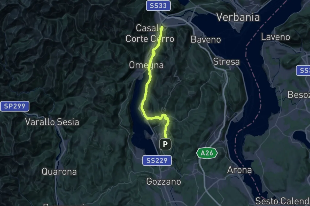
Demanding · Summit
Grand Tour del Lago d'Orta - Tappa 2
43.1 km · ↑ 1160 m · 12 h 41 min · 10 km away
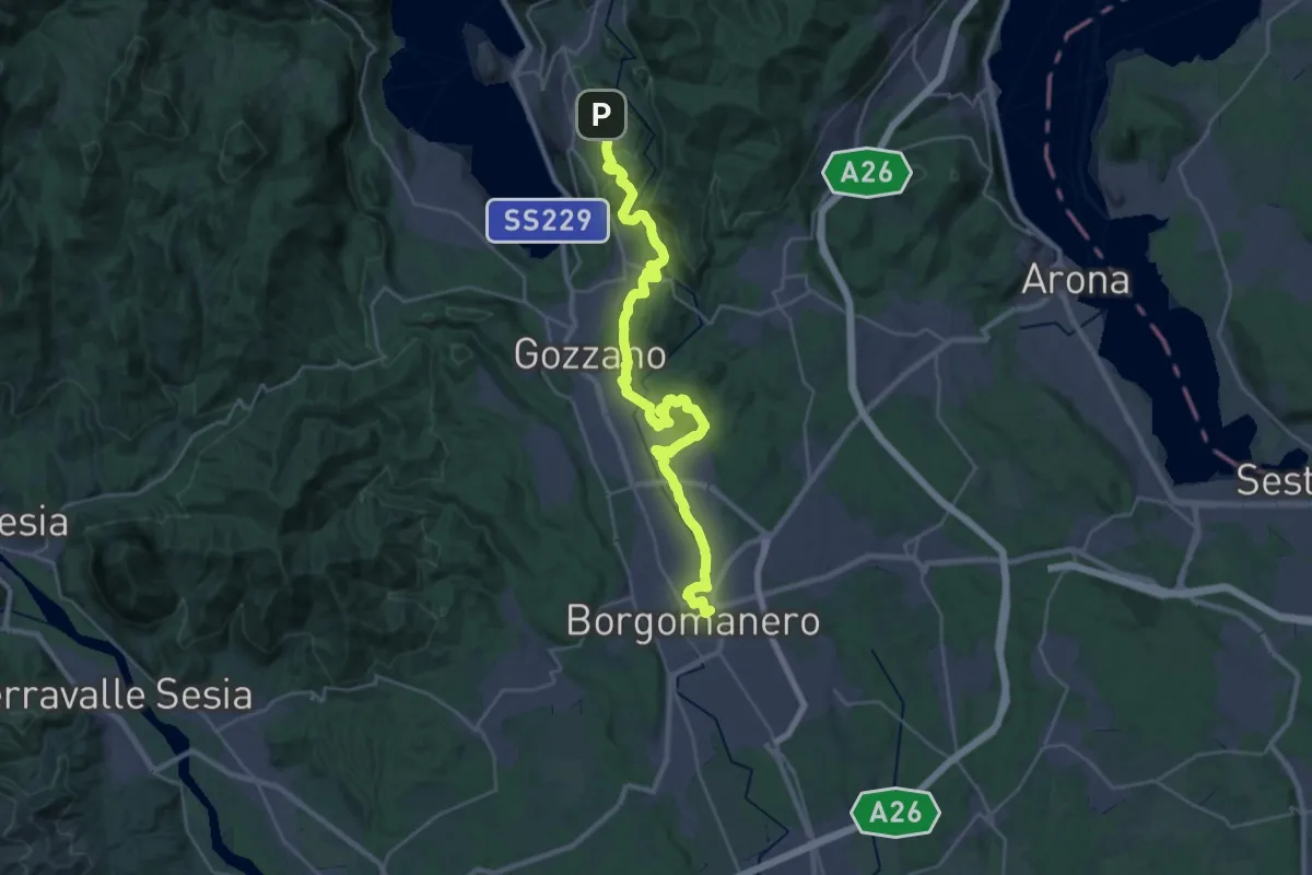
Medium · Trail
Grand Tour del Lago d'Orta - Tappa 1
16.4 km · ↑ 183 m · 4 h 37 min · 10 km away
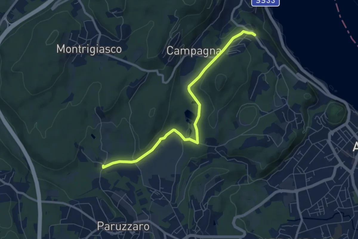
Easy · Trail
VA1 - Arona - Paruzzaro
7.1 km · ↑ 112 m · 1 h 55 min · 10 km away
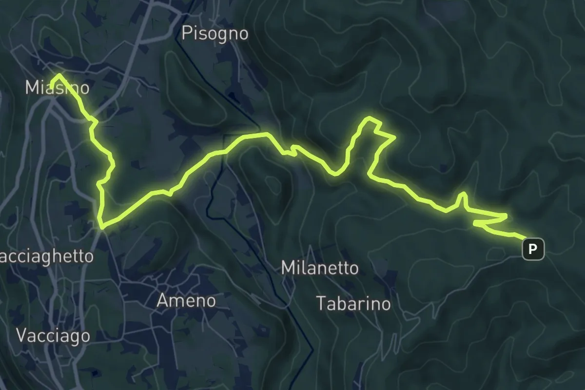
Medium · Trail
VU1 - Miasino - Cappella del Vago
12.9 km · ↑ 544 m · 4 h 13 min · 10 km away
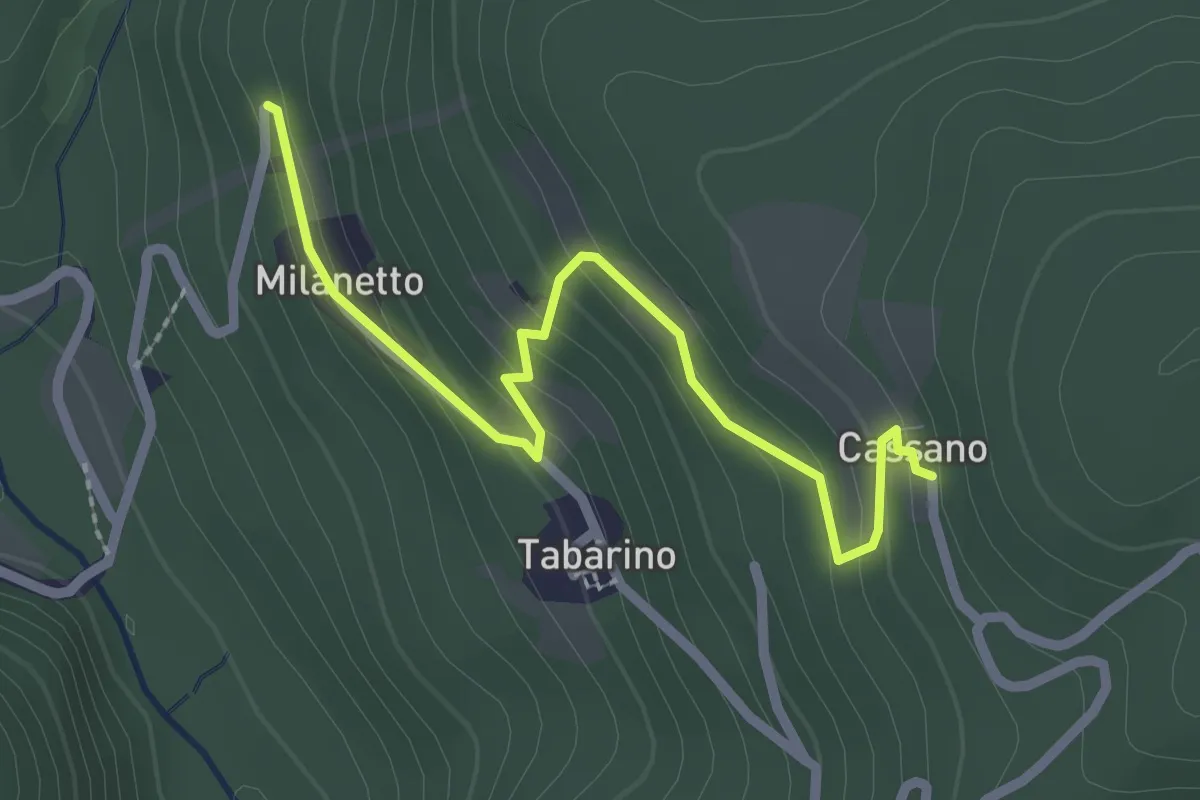
Easy · Trail
VU7a - Bivio VU5 - Cassano
2.5 km · ↑ 137 m · 54 min · 10 km away
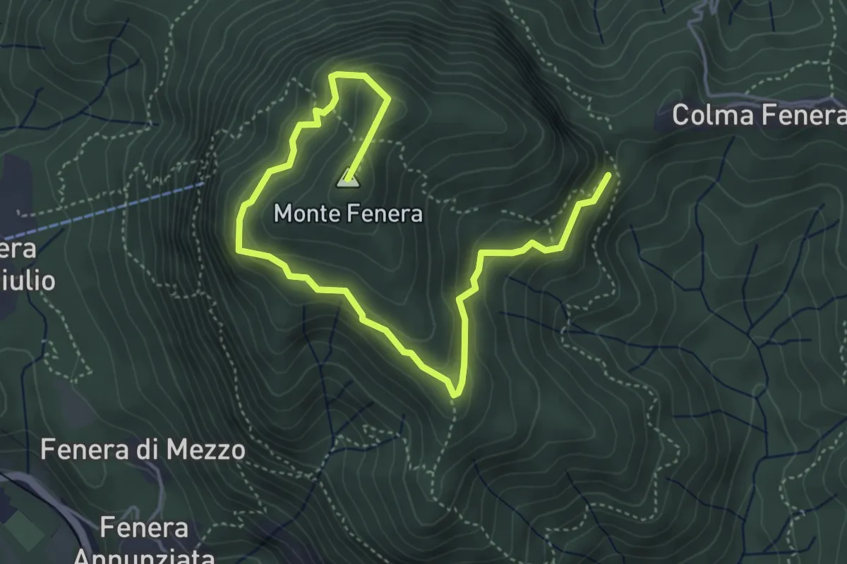
Medium · Summit
Colma – Cava di Arenaria
5.8 km · ↑ 429 m · 2 h 18 min · 11 km away
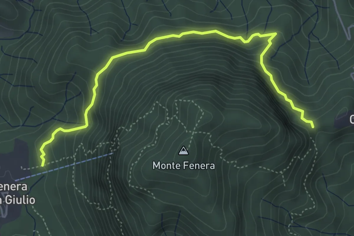
Medium · Trail
Bivio VCA764-VCA769 presso Fenera di Borgosesia – Valduggia, frazione Colma, bivio VCA765-VCA772
5.4 km · ↑ 342 m · 2 h 1 min · 11 km away
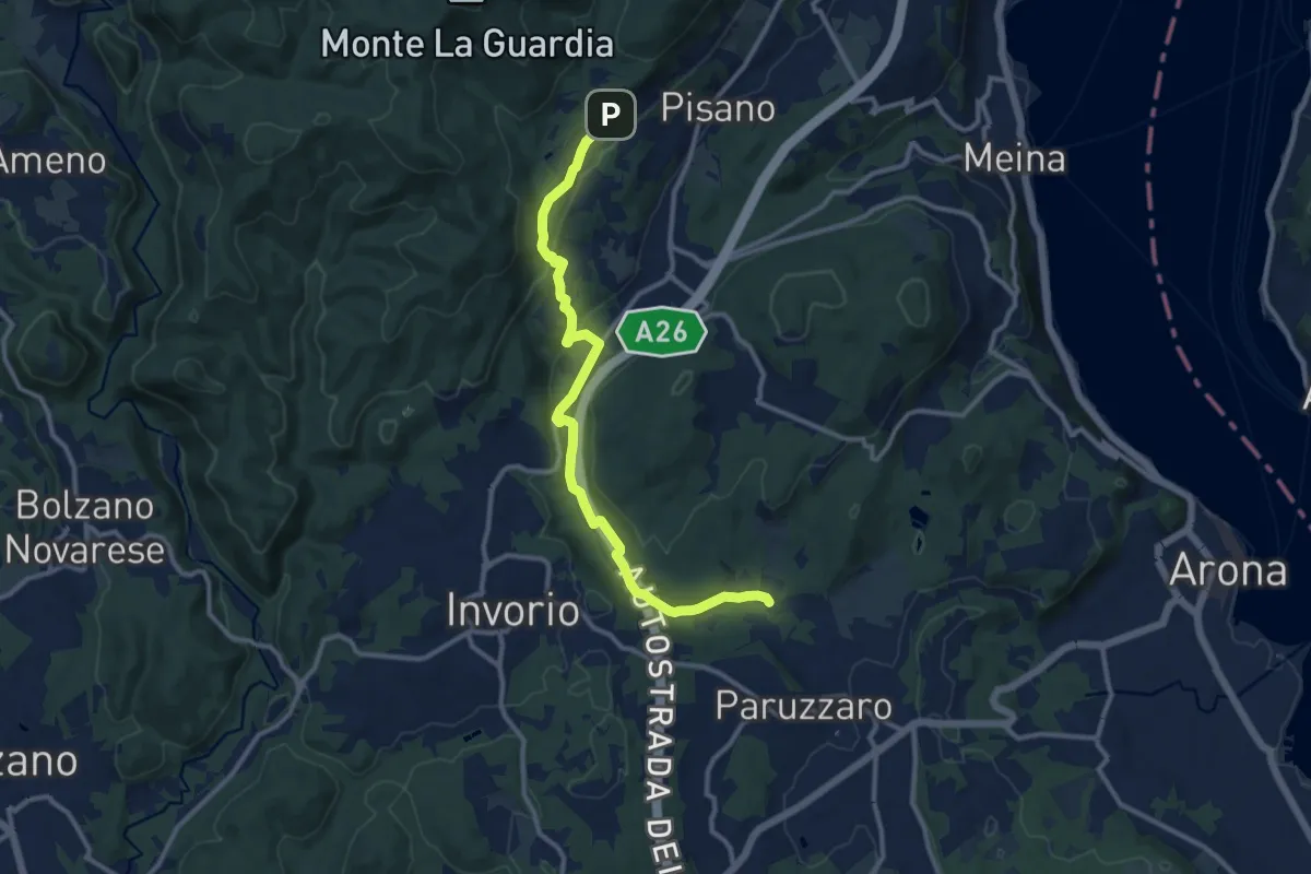
Medium · Trail
VA2 - Paruzzaro - Colazza
12.0 km · ↑ 334 m · 3 h 34 min · 11 km away
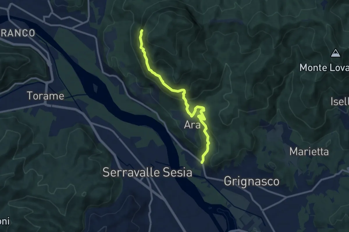
Medium · Cabin
Bivio 780-781, Molino Jannetti – Bivio 769-780, Grotte del Fenera
8.2 km · ↑ 560 m · 3 h 9 min · 11 km away
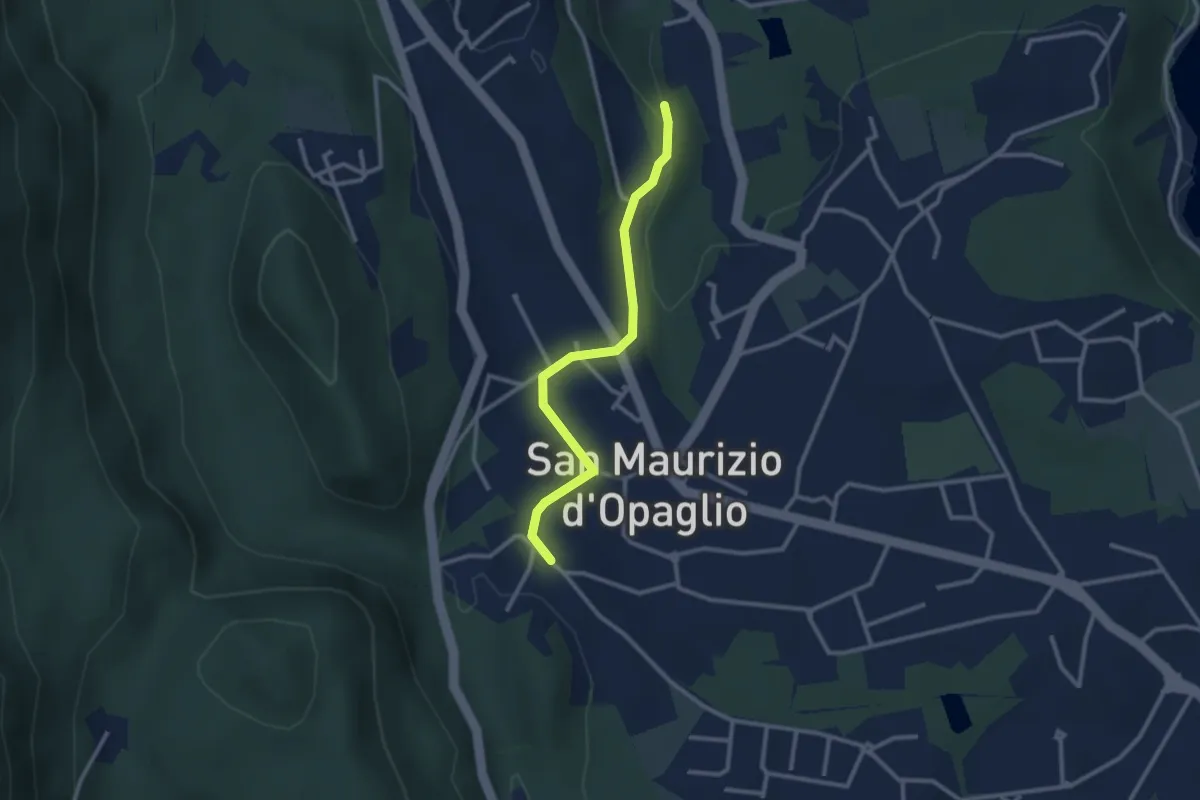
Easy · Trail
San Maurizio d'Opaglio, bivio NOAT37A-NOAT37A – San Maurizio d'Opaglio, bivio NOAT38-NOA37A
2.7 km · ↑ 48 m · 44 min · 11 km away
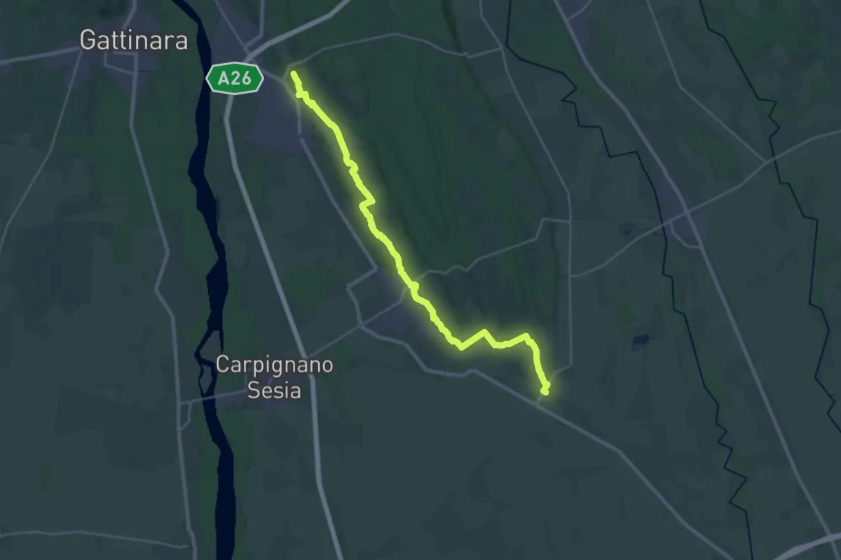
Demanding · Trail
Sentiero Novara tappa 19
26.9 km · ↑ 189 m · 6 h 45 min · 11 km away
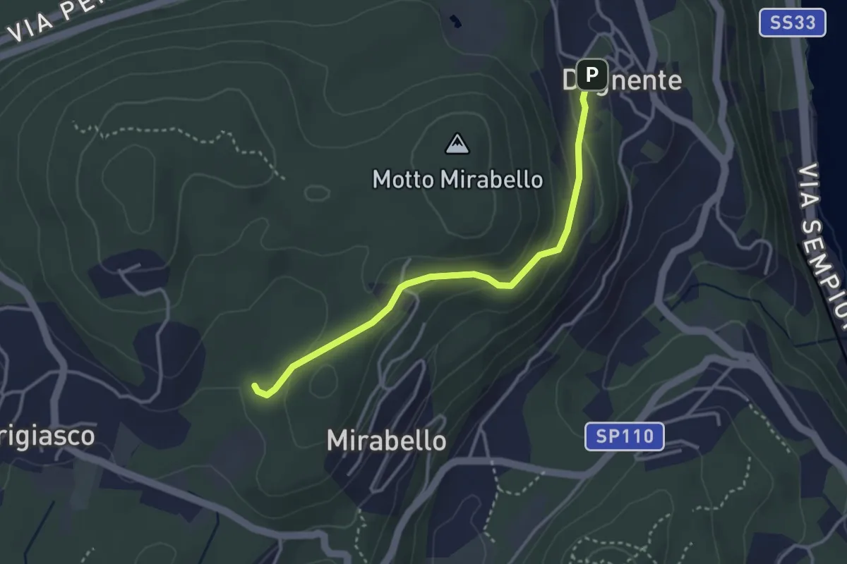
Easy · Trail
VA8 - Dagnente - Bivio VA9
3.3 km · ↑ 105 m · 1 h · 11 km away
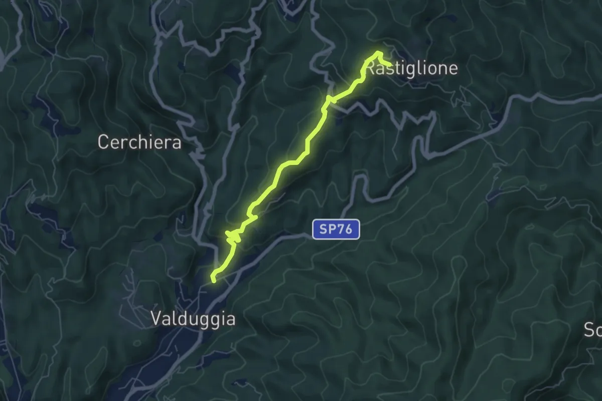
Medium · Trail
Valduggia, bivio VCA750-VCA759 – Valduggia, frazione Rastiglione, bivio VCA758-VCA759
6.0 km · ↑ 346 m · 2 h 10 min · 11 km away
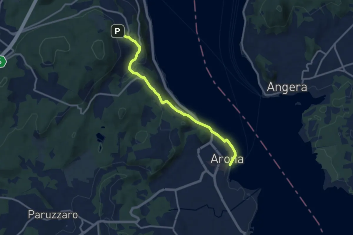
Medium · Trail
VA0 - Arona - Dagnente
8.1 km · ↑ 258 m · 2 h 28 min · 11 km away
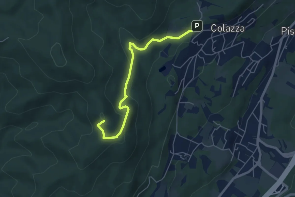
Easy · Summit
VE2 - Colazza - Cappella del Vago
4.5 km · ↑ 190 m · 1 h 28 min · 11 km away
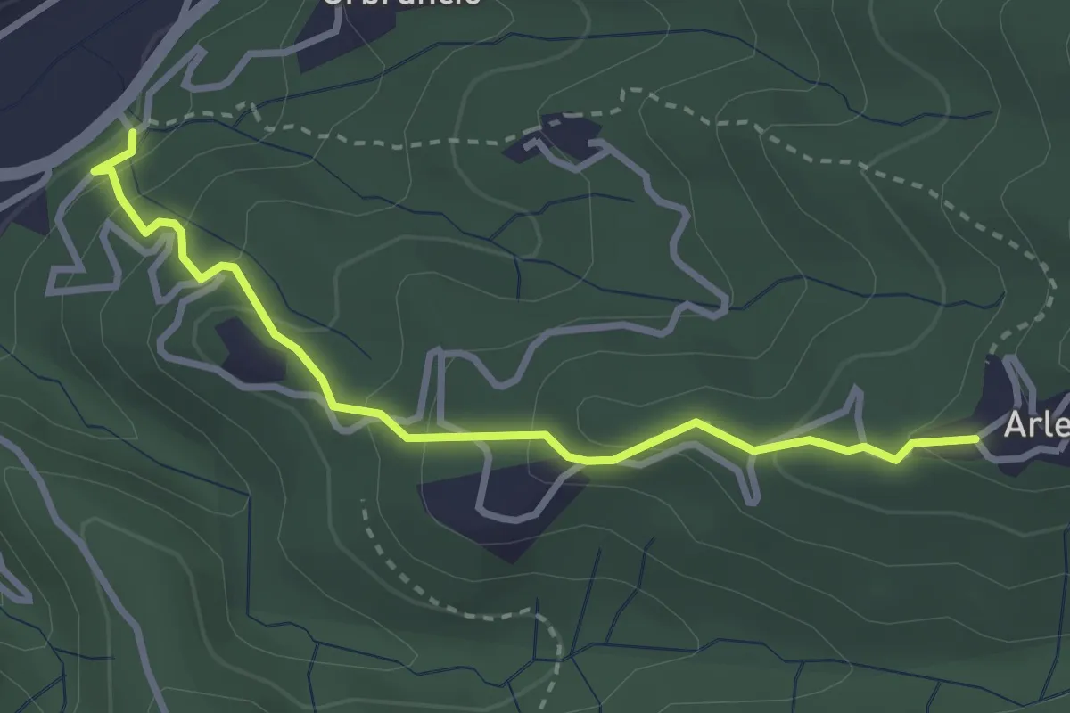
Easy · Trail
Valduggia – Valduggia, Località San Giovanni, bivio VCA762-VCA761
3.0 km · ↑ 233 m · 1 h 13 min · 11 km away
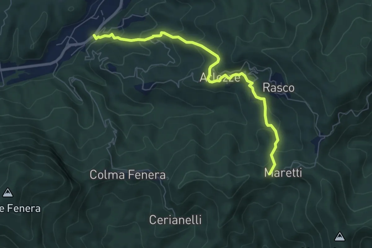
Medium · Trail
Valduggia – Valduggia, frazione Maretti, bivio VCA762-VCA765
6.6 km · ↑ 451 m · 2 h 32 min · 11 km away
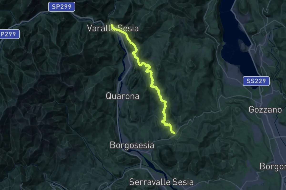
Medium · Trail
Itinerario Gaudenziano
17.1 km · ↑ 694 m · 5 h 45 min · 11 km away
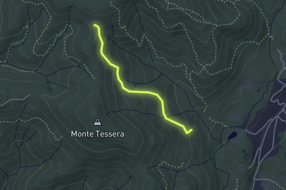
Medium · Trail
VE3 - Bivio VE2 - Viganate
2.6 km · ↑ 159 m · 57 min · 11 km away
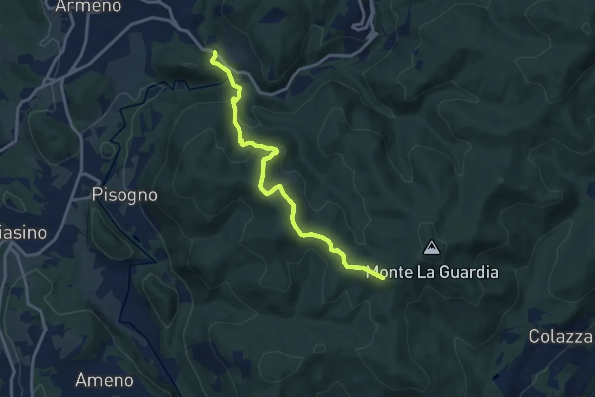
Medium · Trail
VS1 - Americano - Bivio V00
7.7 km · ↑ 437 m · 2 h 46 min · 11 km away
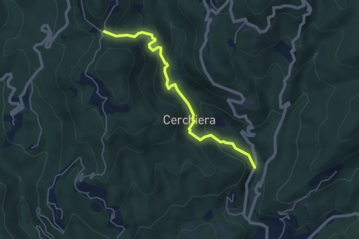
Medium · Trail
Valduggia – San Marco di Cellio
4.3 km · ↑ 279 m · 1 h 37 min · 11 km away
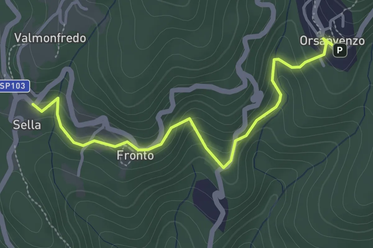
Medium · Trail
Bivio 755-758, Orsanvenzo – Cellio
3.3 km · ↑ 187 m · 1 h 11 min · 11 km away
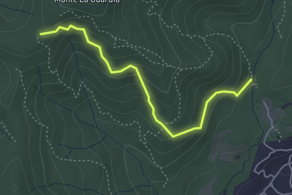
Easy · Trail
VE4 - Colazza - Alpe Gallone
3.6 km · ↑ 249 m · 1 h 23 min · 11 km away
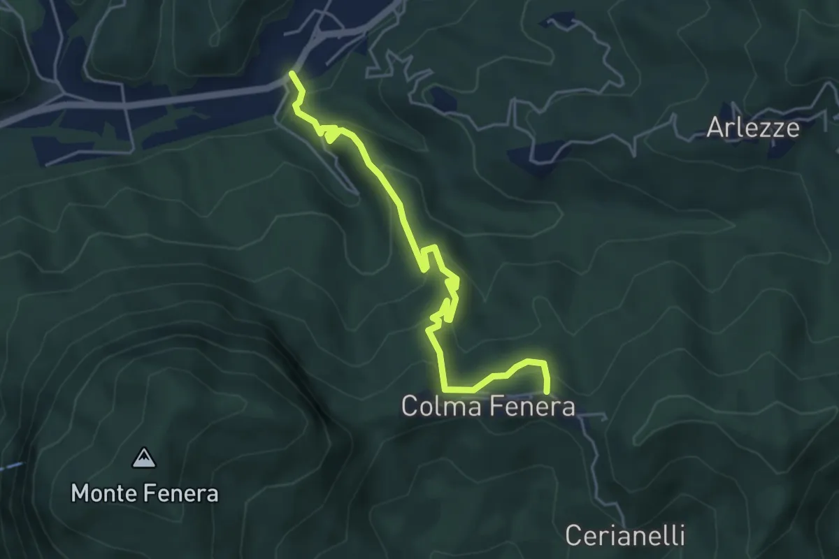
Medium · Trail
Valduggia – Valduggia, frazione Colma, bivio VCA765-VCA772
4.8 km · ↑ 374 m · 1 h 56 min · 11 km away
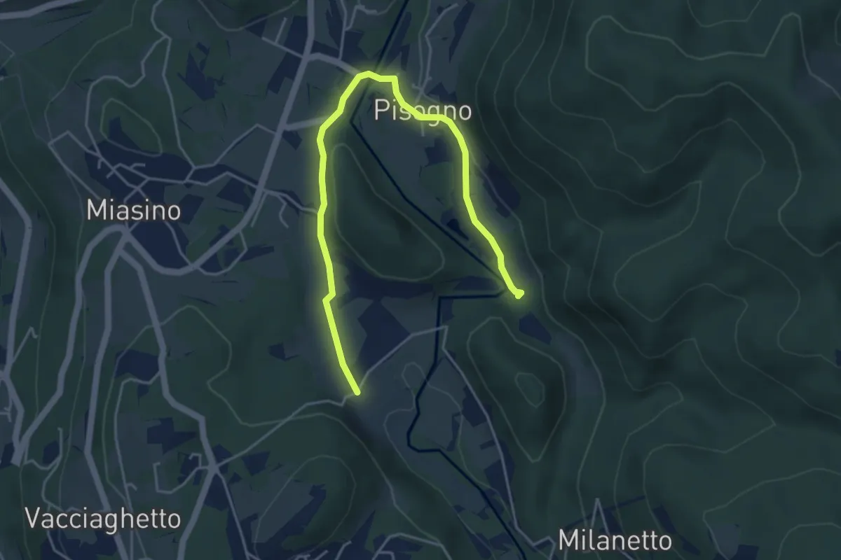
Easy · Trail
VU1a - Ameno - Ameno
5.0 km · ↑ 106 m · 1 h 24 min · 11 km away
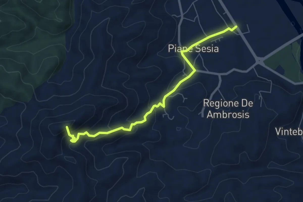
Medium · Summit
Serravalle Sesia, Chiesa di Naula – Bivio VCA704-BIAM64 presso Bric Vaulina
6.5 km · ↑ 404 m · 2 h 25 min · 11 km away
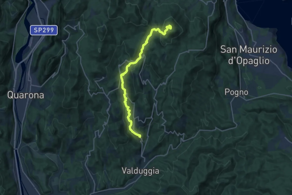
Medium · Summit
Valduggia – Monte Avigno o Navigno
15.2 km · ↑ 763 m · 5 h 14 min · 11 km away
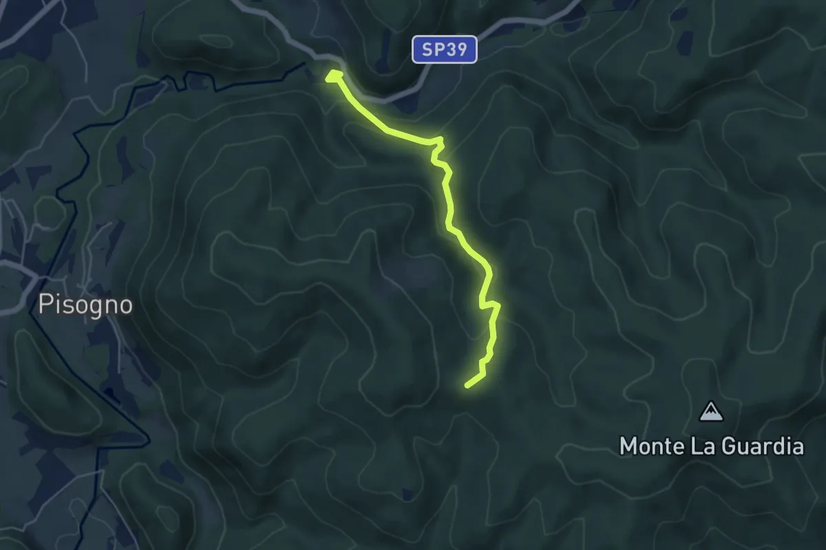
Easy · Trail
VS2 - Americano - Alpe Cascinone
4.6 km · ↑ 235 m · 1 h 35 min · 11 km away
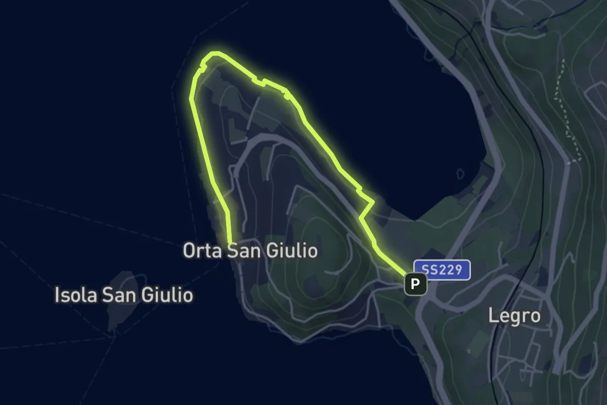
Easy · Trail
Orta Scalo, bivio ENOATU1-ENOATU1A – Orta San Giulio località Ortello, bivio ENOATU1-ENOATU1A
4.8 km · ↑ 71 m · 1 h 17 min · 11 km away
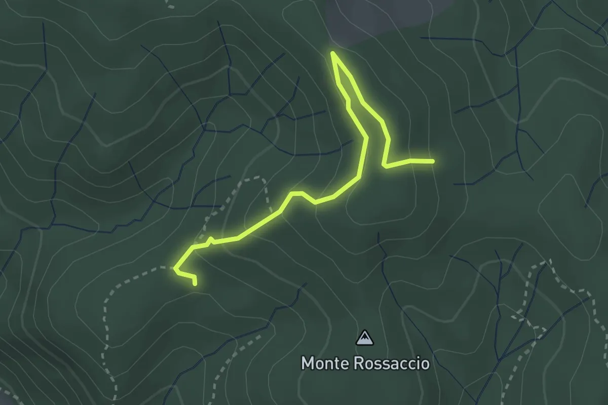
Easy · Trail
VU1b - Loc. Scullera - Alpe Cascinone
2.9 km · ↑ 126 m · 58 min · 12 km away
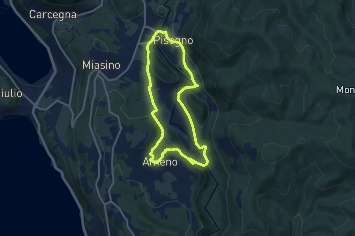
Easy · Trail
Anello Azzurro
6.3 km · ↑ 179 m · 1 h 58 min · 12 km away
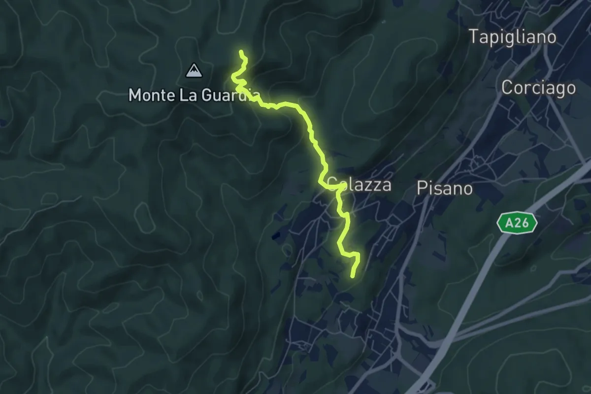
Medium · Trail
VE5 - Colazza - Alpe del Bosco
5.7 km · ↑ 319 m · 2 h 3 min · 12 km away
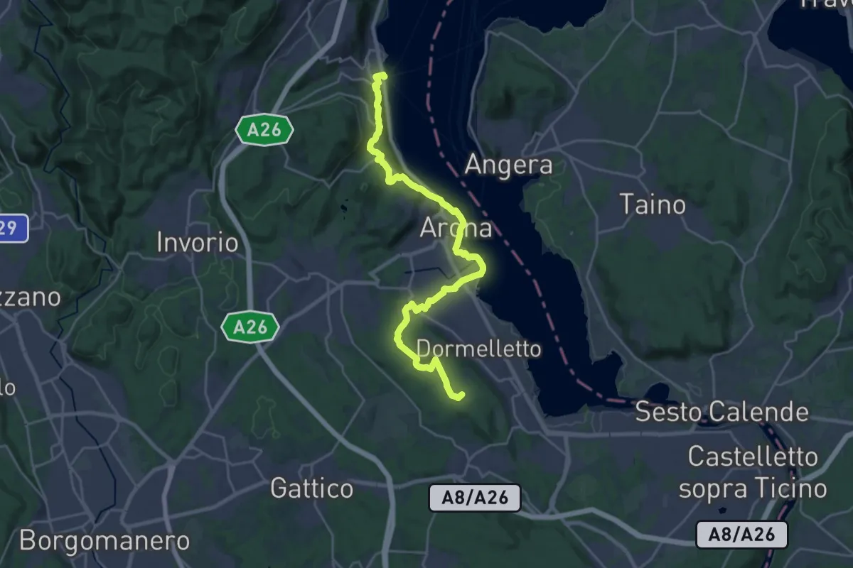
Demanding · Summit
Grand Tour del Lago Maggiore ® - Tappa 3 - Meina - Sesto Calende
24.3 km · ↑ 583 m · 7 h · 12 km away
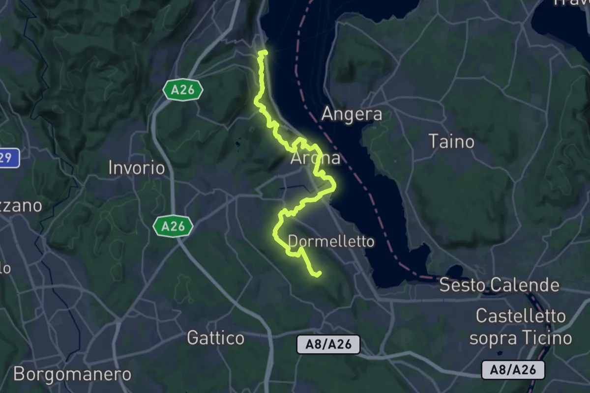
Demanding · Summit
Cammino del Lago Maggiore
26.9 km · ↑ 665 m · 7 h 47 min · 12 km away
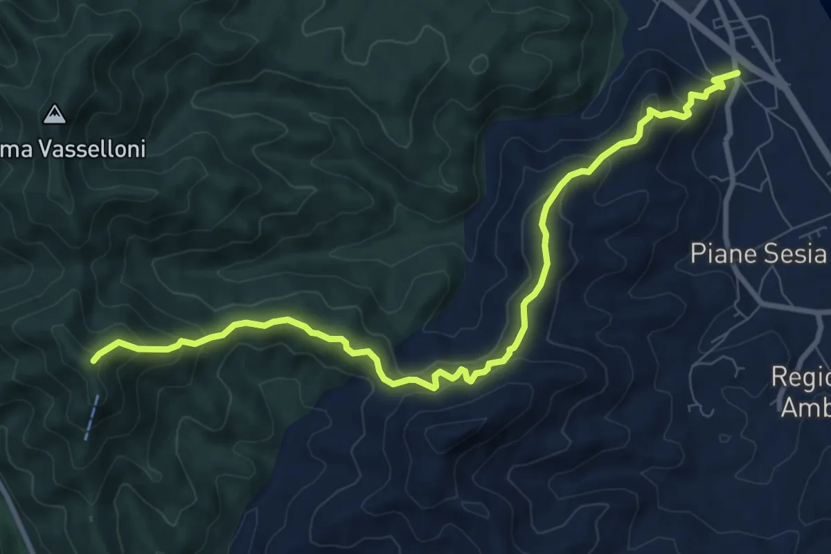
Medium · Trail
Serravalle Sesia – Bivio VCA709-VCA705, Santuario di San Emiliano
9.8 km · ↑ 608 m · 3 h 37 min · 12 km away
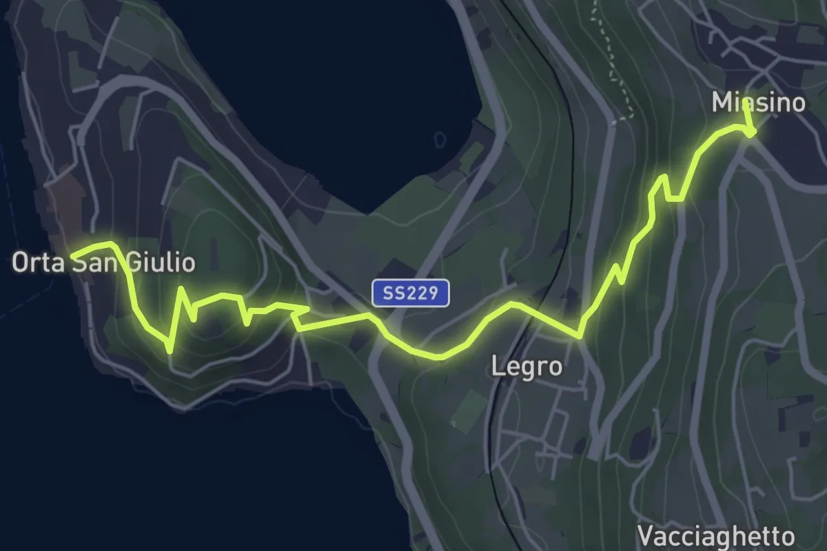
Easy · Trail
Orta Scalo, bivio NOATU1-NOATU1A – Miasino, bivio NOAVU9-NOATU1, NOAVU1
6.3 km · ↑ 314 m · 2 h 11 min · 12 km away
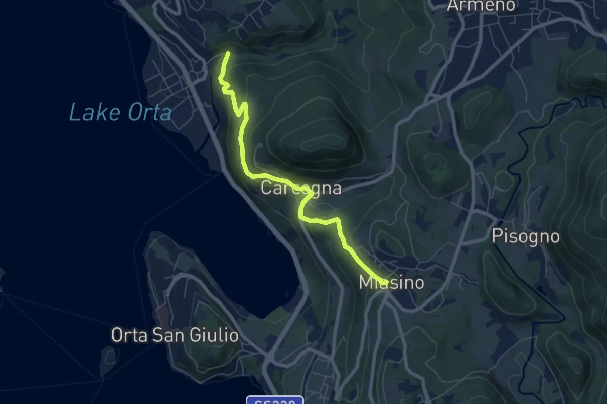
Easy · Trail
VU9 - Pettenasco - Miasino
6.3 km · ↑ 274 m · 2 h 5 min · 12 km away
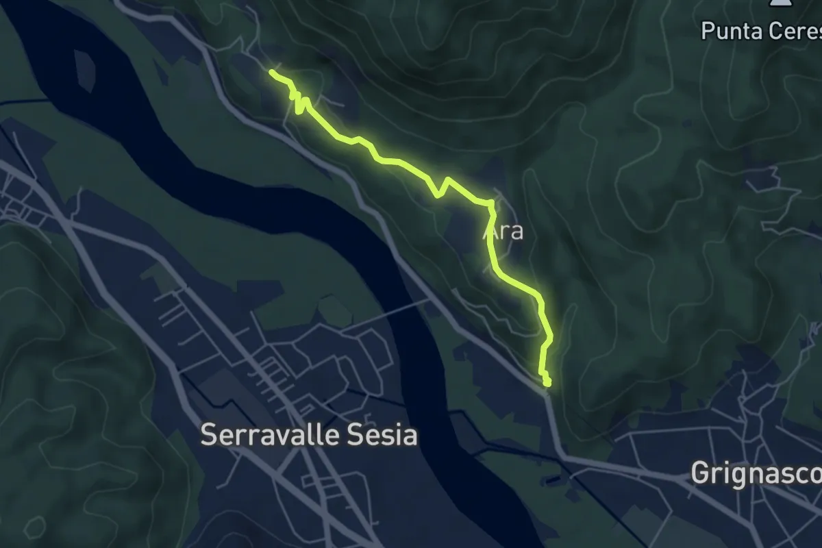
Easy · Trail
Grignasco, Molino Jannetti, bivio VCA781-VCA780 – Borgosesia, frazione Fenera di Mezzo, bivio VCA781-VCA770
4.8 km · ↑ 196 m · 1 h 34 min · 12 km away