Trails near Bormio
174 hikes starting within 15 km, nearest first.
Nearest first, page 2 of 4
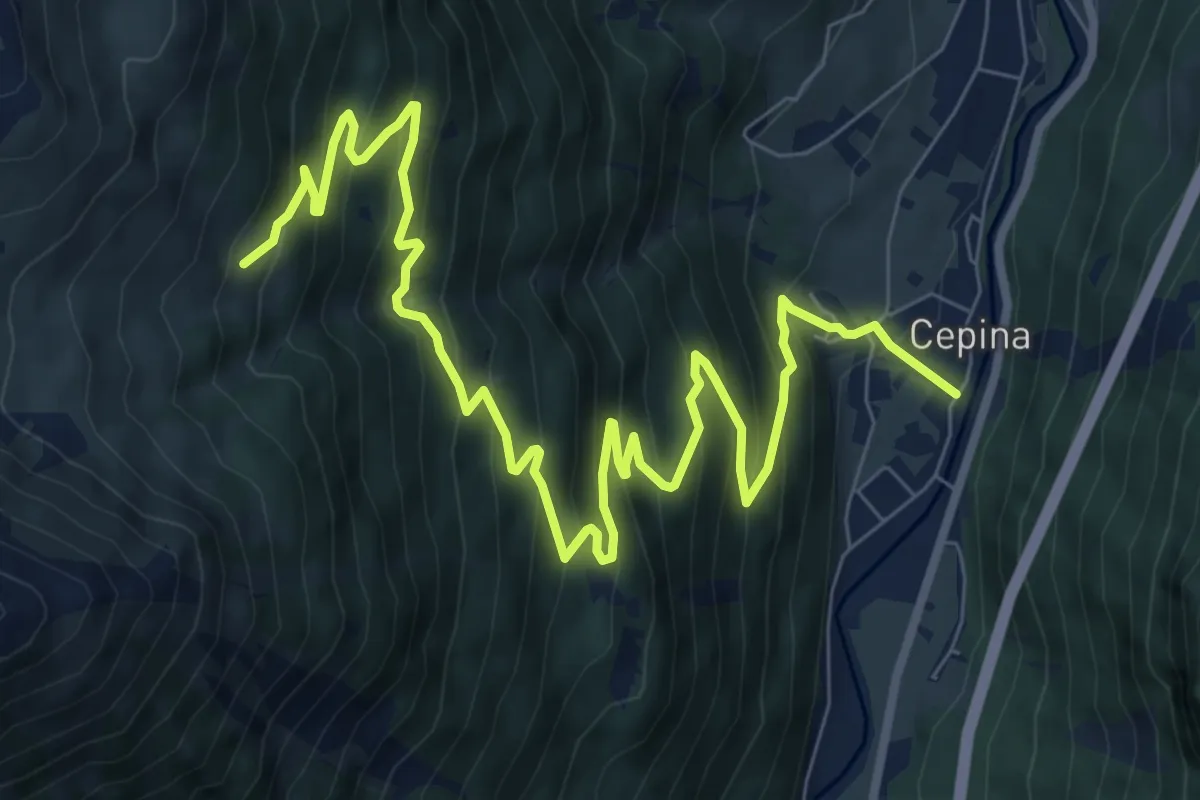
Demanding · Trail
Via E. De Gasperi (Cepina) – Innesto 208
11.6 km · ↑ 981 m · 4 h 52 min · 6 km away
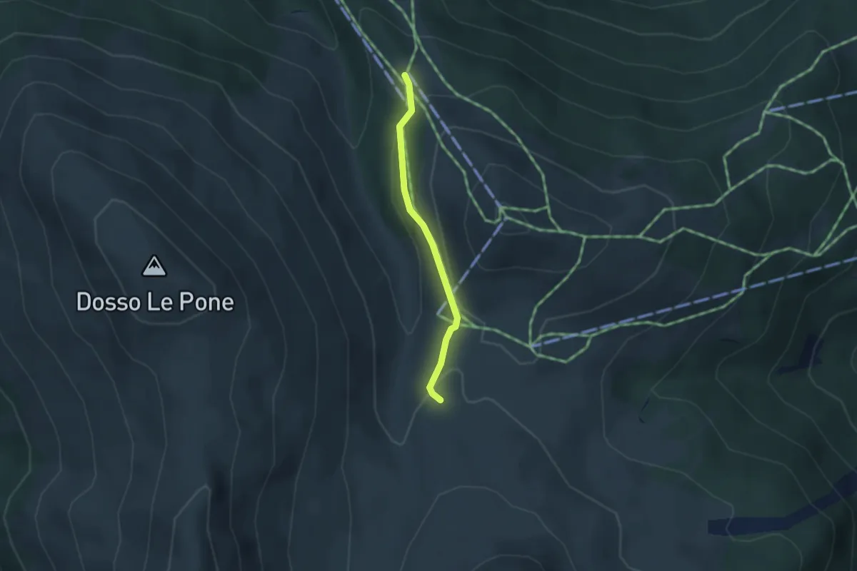
Easy · Trail
Innesto Sentiero 209 – Innesto Sentiero 208
2.4 km · ↑ 83 m · 45 min · 6 km away
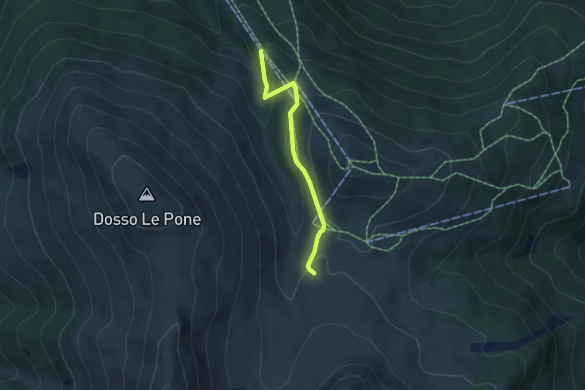
Easy · Trail
Innesto Sentiero 284 – Innesto Sentiero 209
3.3 km · ↑ 123 m · 1 h 3 min · 6 km away
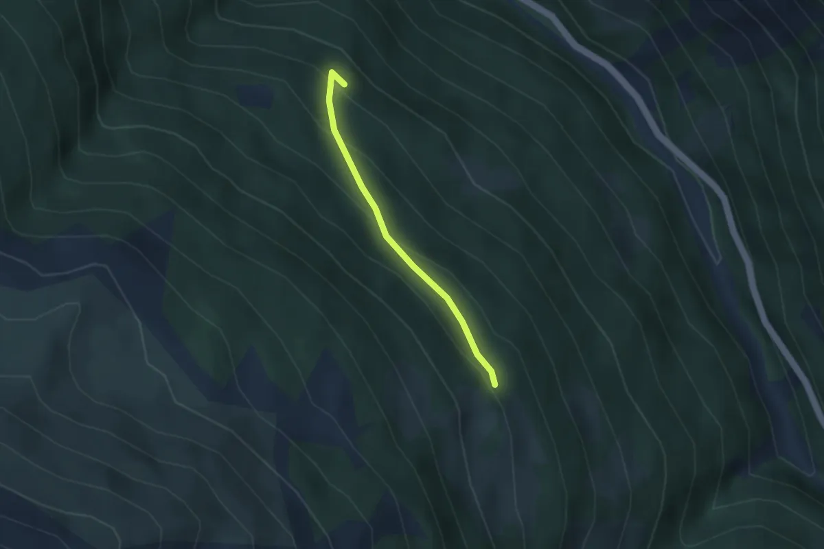
Easy · Trail
Innesto Sentiero 522 – Innesto Sentiero 518
2.5 km · ↑ 174 m · 58 min · 6 km away
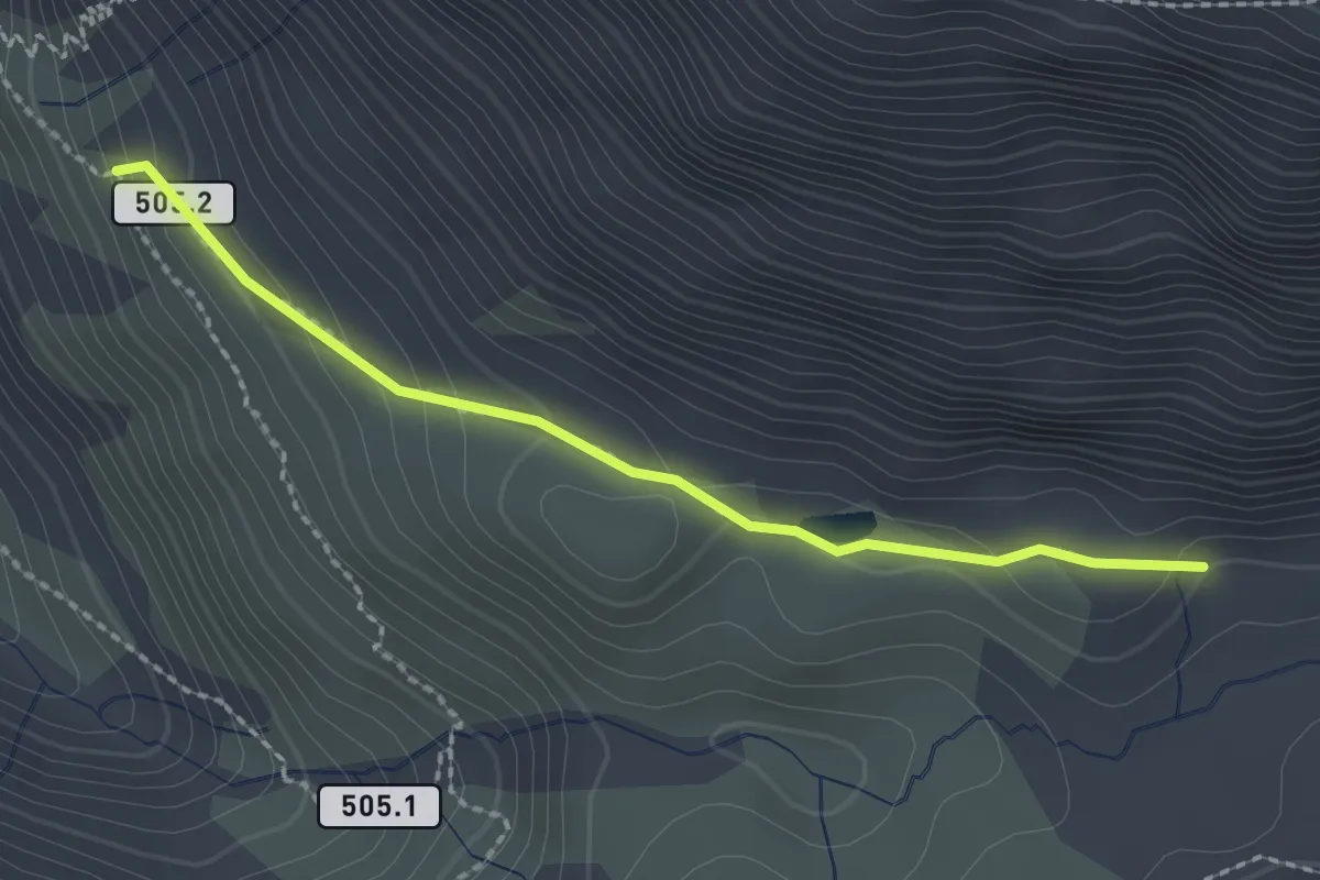
Medium · Trail
Innesto Sentiero 505 – Lago del Mot
2.1 km · ↑ 100 m · 43 min · 6 km away
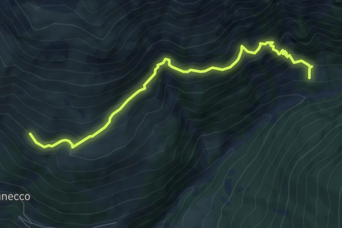
Demanding · Trail
Innesto Sentiero 531 – Innesto Sentiero 529
7.7 km · ↑ 740 m · 3 h 25 min · 6 km away
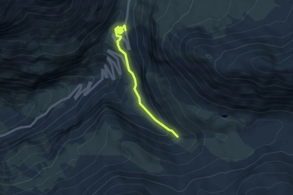
Easy · Trail
Innesto Sentiero 505 – Innesto Sentiero 505
3.6 km · ↑ 236 m · 1 h 22 min · 6 km away
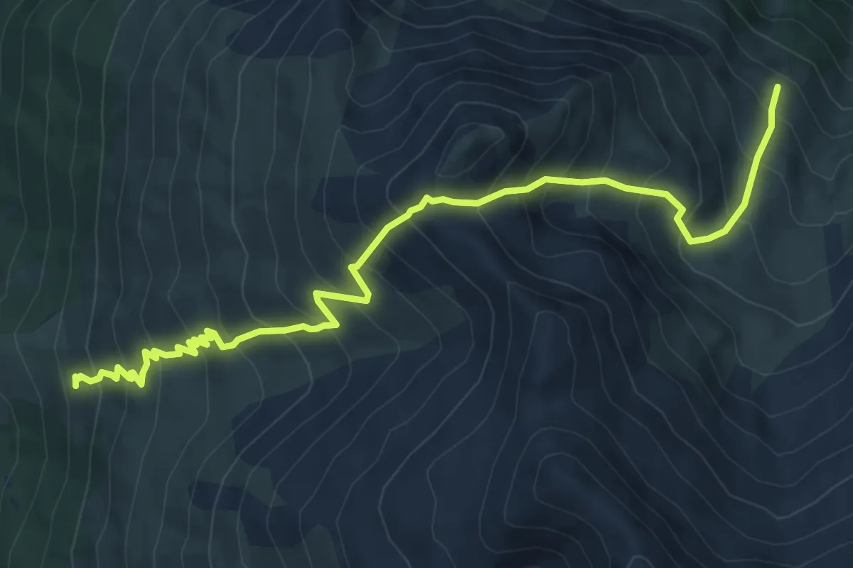
Expert · Trail
Innesto Sentiero 527 – Innesto Sentiero 526
8.9 km · ↑ 1009 m · 4 h 18 min · 6 km away
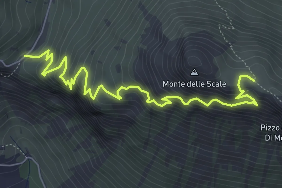
Demanding · Trail
Innesto Percorso 197 – Innesto Percorso 199
6.6 km · ↑ 688 m · 3 h 2 min · 6 km away
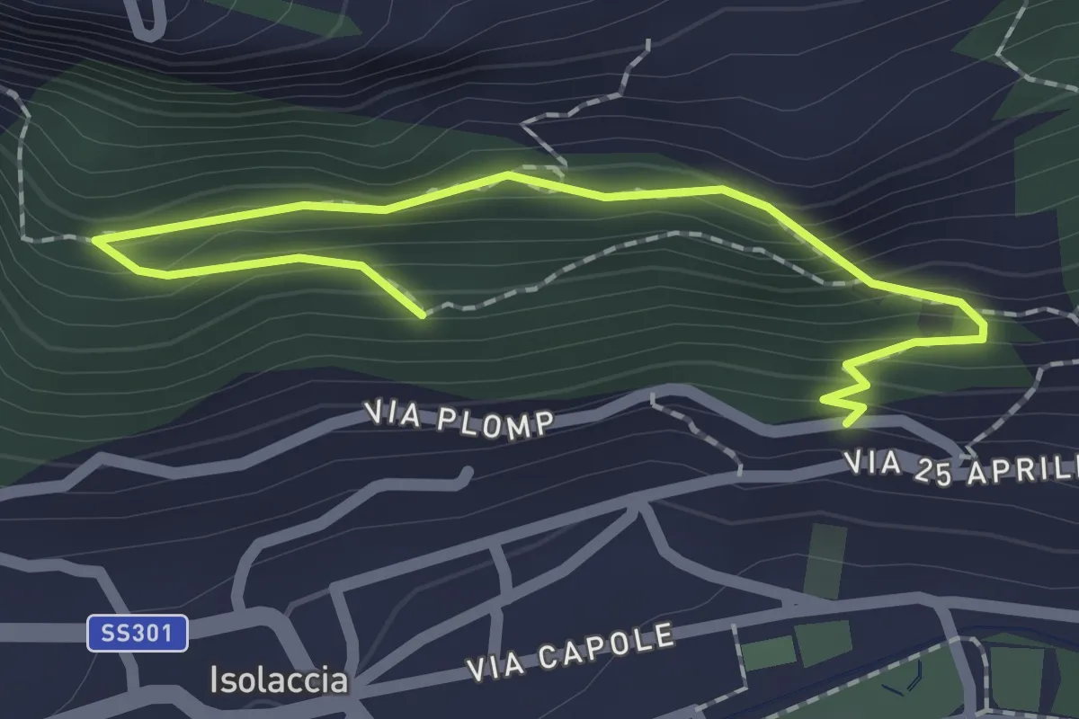
Easy · Trail
Via Plomp (Isolaccia) – Parco Faunistico
2.2 km · ↑ 210 m · 59 min · 6 km away
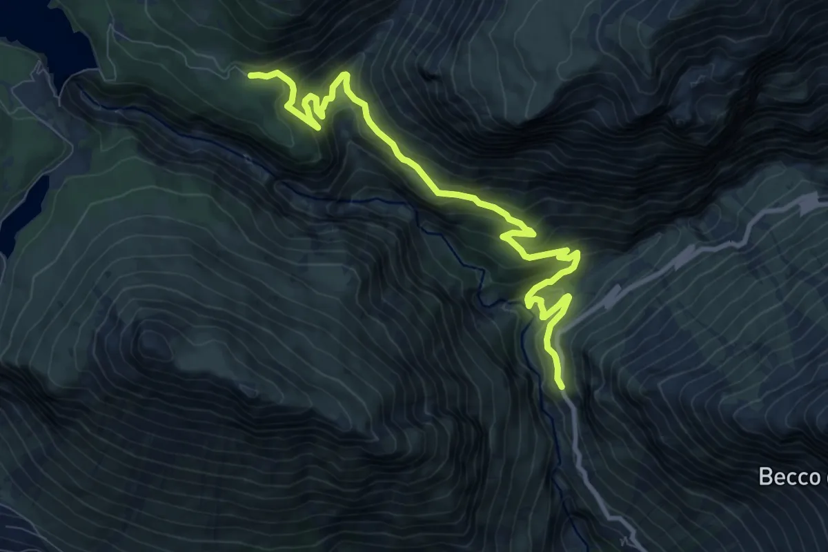
Medium · Trail
Via Stelvio (Bormio) – Area Picnic Solena
10.4 km · ↑ 666 m · 3 h 54 min · 6 km away
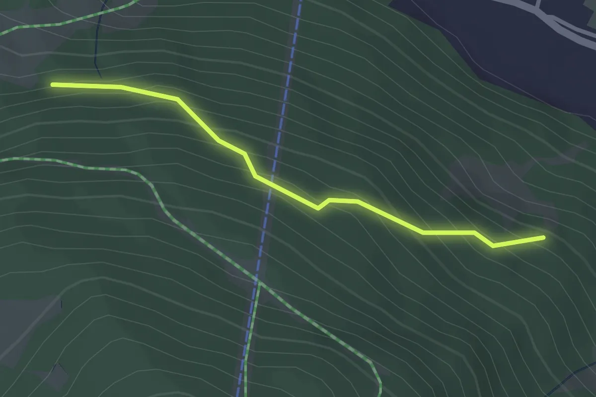
Easy · Trail
Innesto Sentiero 283 – Innesto Sentiero 284
2.5 km · ↑ 260 m · 1 h 9 min · 7 km away
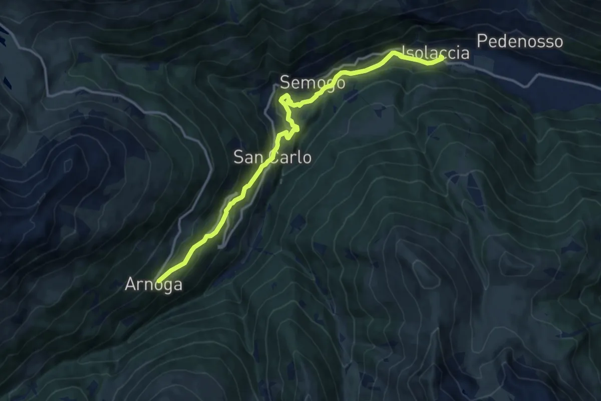
Medium · Trail
SS301 - Via Nazionale (Isolaccia) – Arnoga
13.6 km · ↑ 627 m · 4 h 34 min · 7 km away
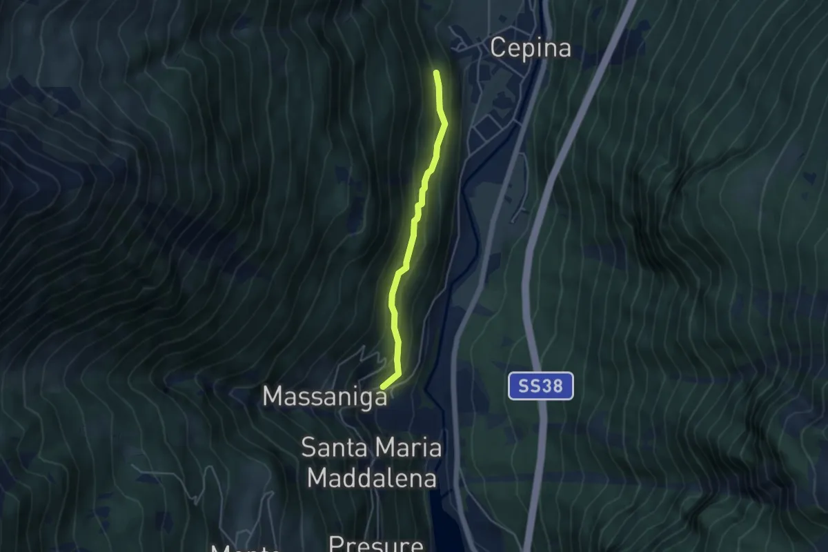
Easy · Trail
Innesto Sentiero 274 – Innesto Sentiero 273
3.6 km · ↑ 248 m · 1 h 23 min · 7 km away
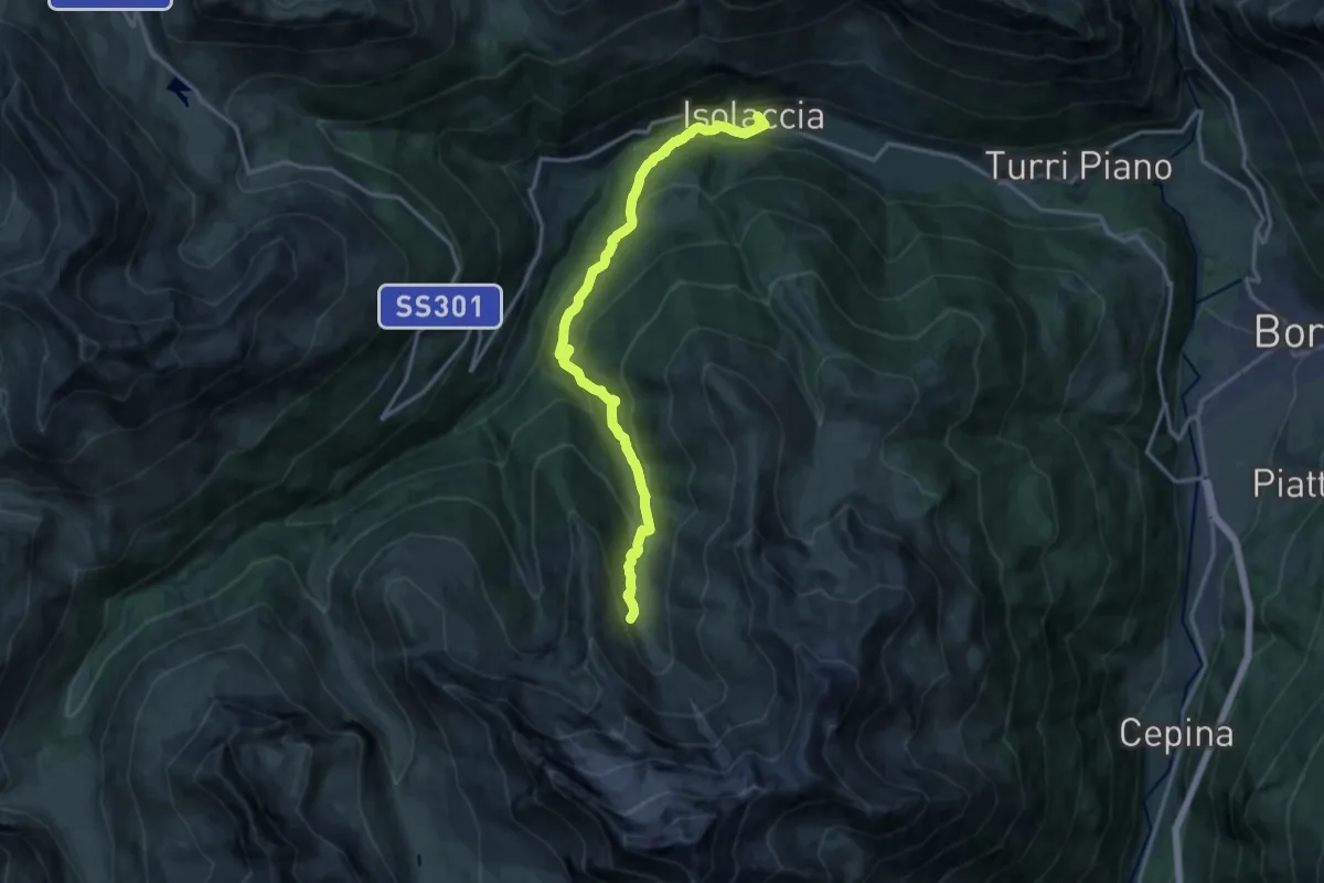
Demanding · Trail
Via Nazionale (Isolaccia) – Bivacco Monte Cantoni
15.9 km · ↑ 965 m · 5 h 50 min · 7 km away
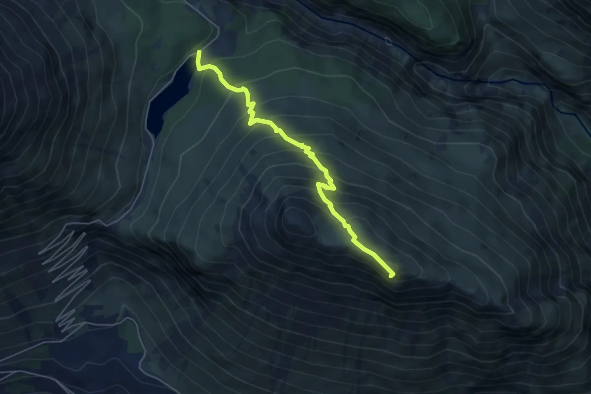
Expert · Summit
Lago delle Scale – Croce delle Scale
4.9 km · ↑ 514 m · 2 h 16 min · 7 km away
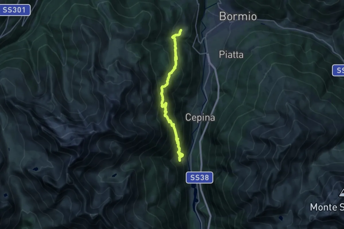
Demanding · Trail
Via Breno (Fontane) – Via Roma (Oga)
16.4 km · ↑ 1216 m · 6 h 31 min · 7 km away
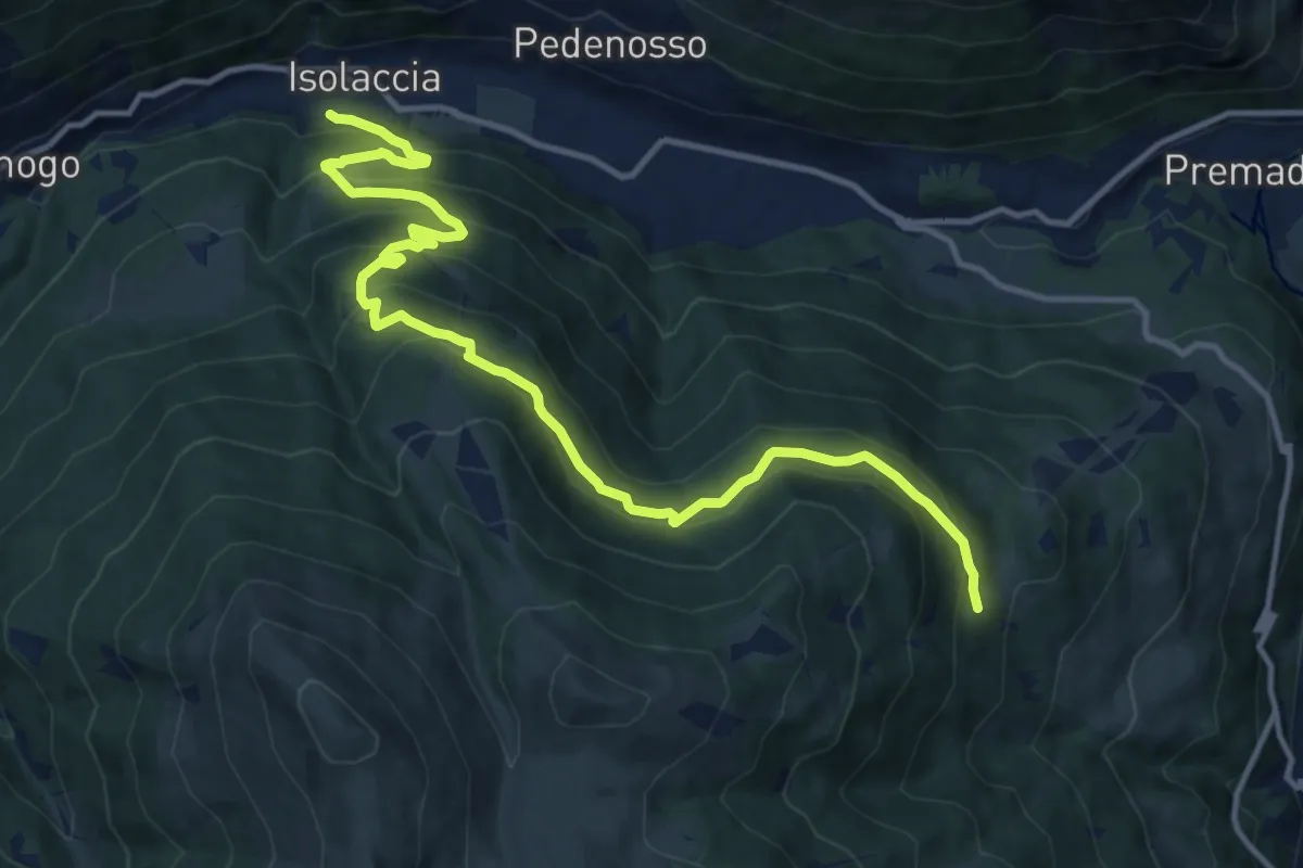
Demanding · Trail
Via Zardin (Isolaccia) – Innesto 280
14.7 km · ↑ 931 m · 5 h 30 min · 7 km away
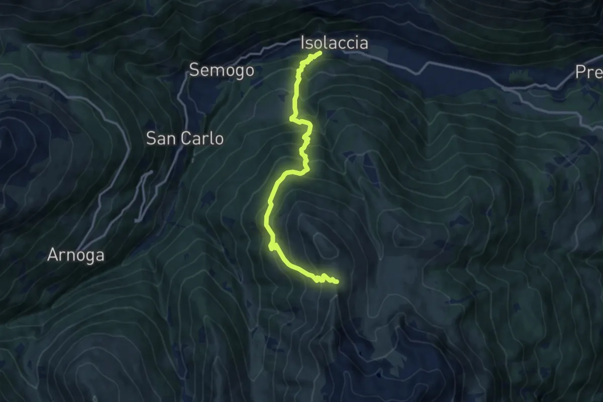
Demanding · Trail
Via Zardin (Isolaccia) – Innesto 208
11.8 km · ↑ 1134 m · 5 h 15 min · 7 km away
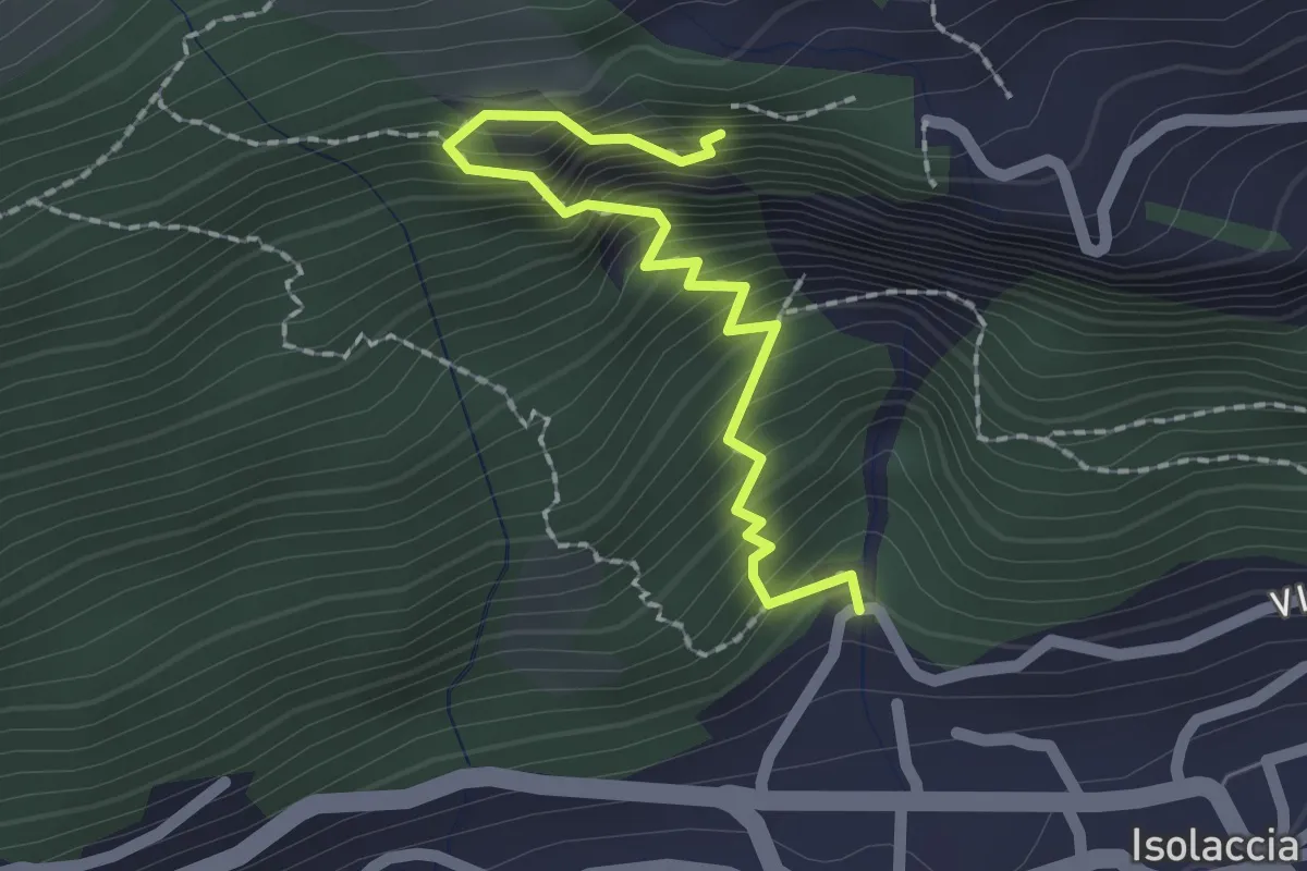
Medium · Trail
Torrente Rio Scianna – 196
2.0 km · ↑ 386 m · 1 h 19 min · 7 km away
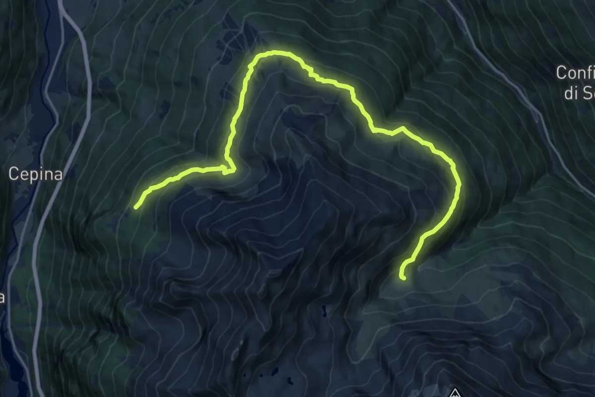
Demanding · Trail
Innesto Sentiero 521 – Innesto Sentiero 518
19.2 km · ↑ 1105 m · 6 h 56 min · 7 km away
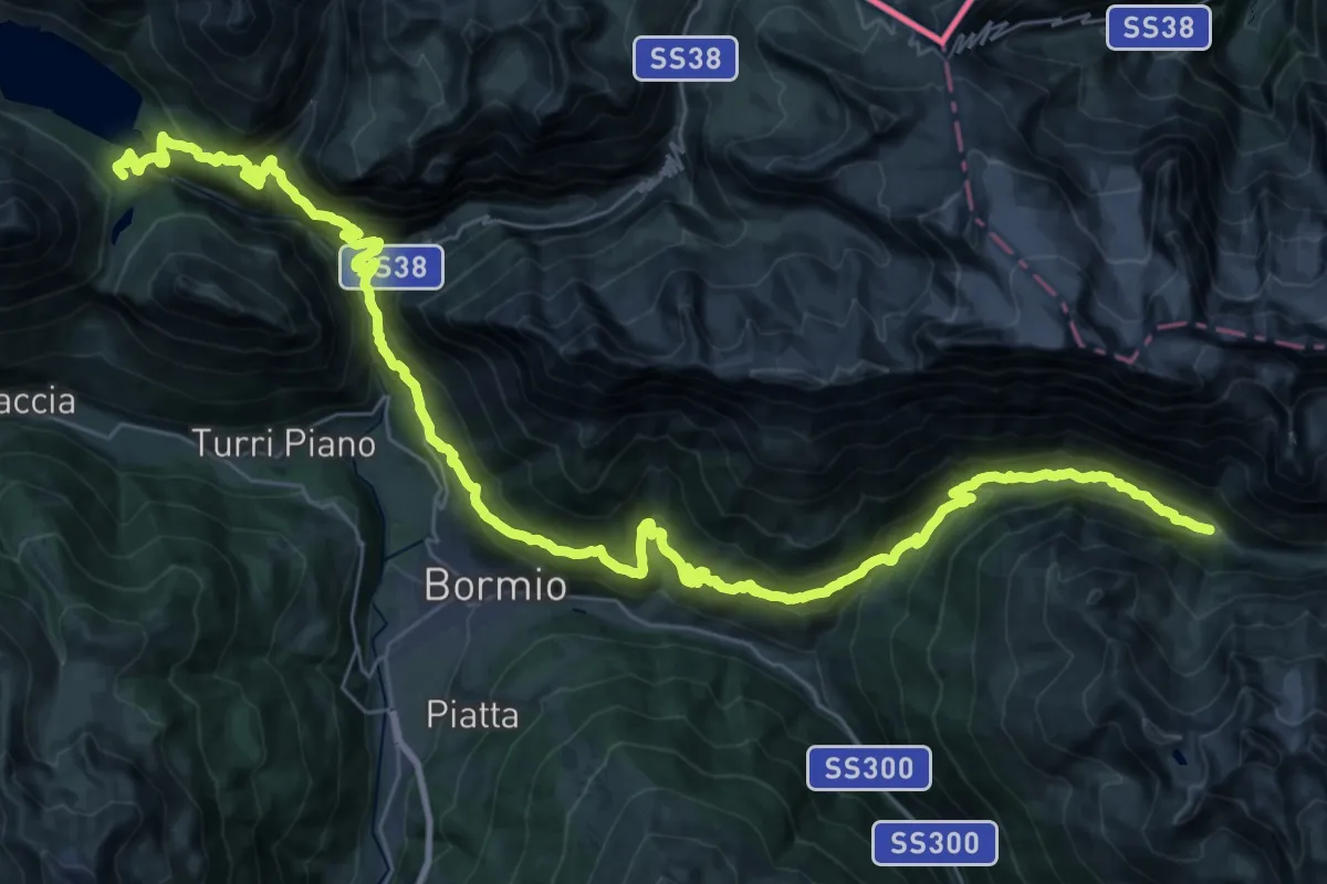
Demanding · Cabin
Rifugio Monte alle Scale (Cancano) – Rifugio Campo
24.6 km · ↑ 1307 m · 8 h 57 min · 7 km away
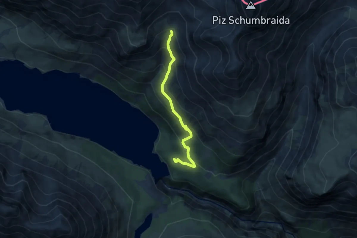
Medium · Trail
Innesto Sentiero 145 – Torrente Val Cancano
6.3 km · ↑ 489 m · 2 h 33 min · 7 km away
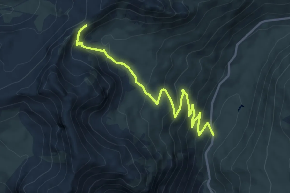
Medium · Trail
Strada Statale N.38 dello Stelvio – Bocchetta di Forcola
7.8 km · ↑ 457 m · 2 h 49 min · 7 km away
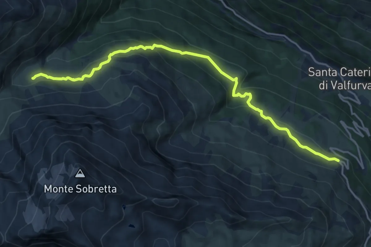
Medium · Trail
Strada del Passo Gavina – Innesto Sentiero 518
13.3 km · ↑ 647 m · 4 h 32 min · 7 km away
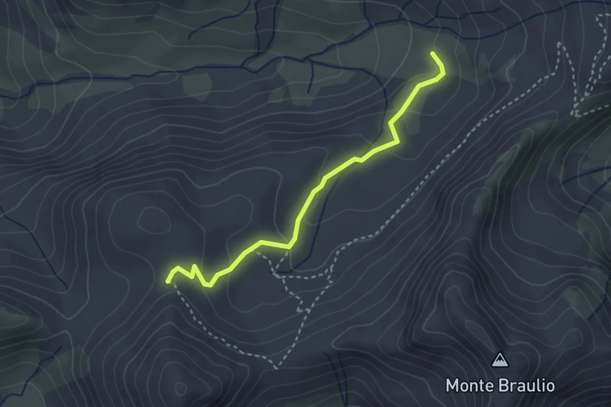
Easy · Trail
Innesto Sentiero 146 – Innesto Sentiero 145
3.0 km · ↑ 142 m · 1 h · 7 km away
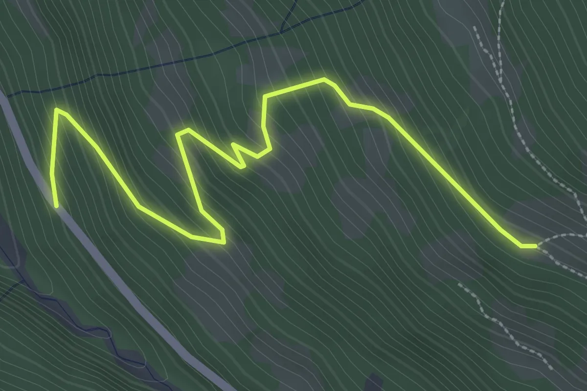
Medium · Trail
SS300 (Santa Caterina) – Innesto Sentiero 568
3.6 km · ↑ 356 m · 1 h 37 min · 8 km away
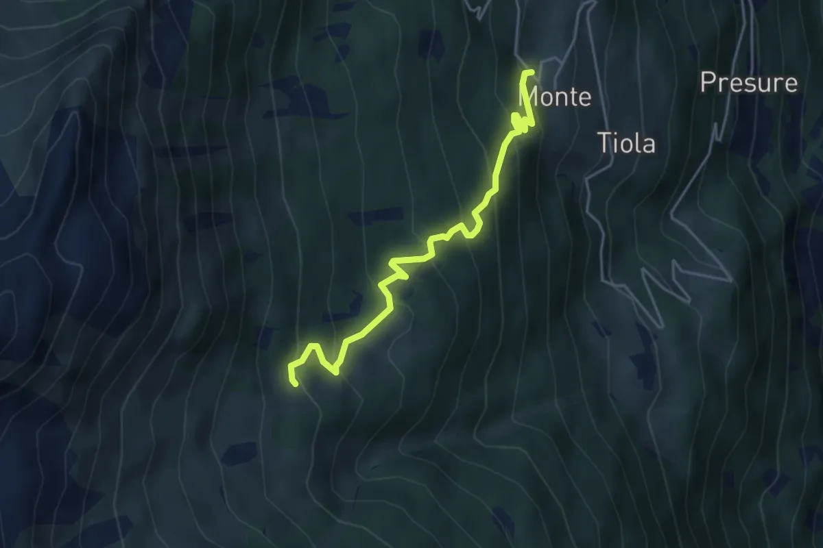
Medium · Trail
207 – 208 - Monte Zandila
4.2 km · ↑ 389 m · 1 h 50 min · 8 km away
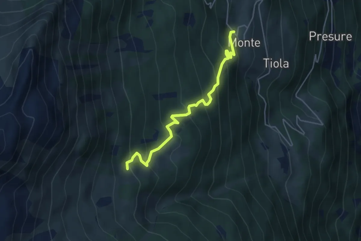
Medium · Trail
Innesto Sentiero 273 – Innesto Sentiero 208
4.2 km · ↑ 389 m · 1 h 50 min · 8 km away
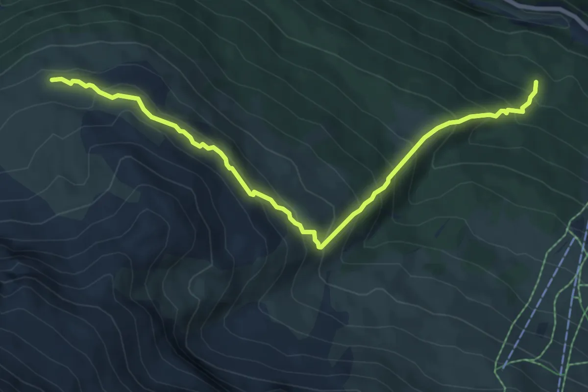
Medium · Trail
Innesto Sentiero 523 – Innesto Sentiero 522
7.4 km · ↑ 671 m · 3 h 12 min · 8 km away
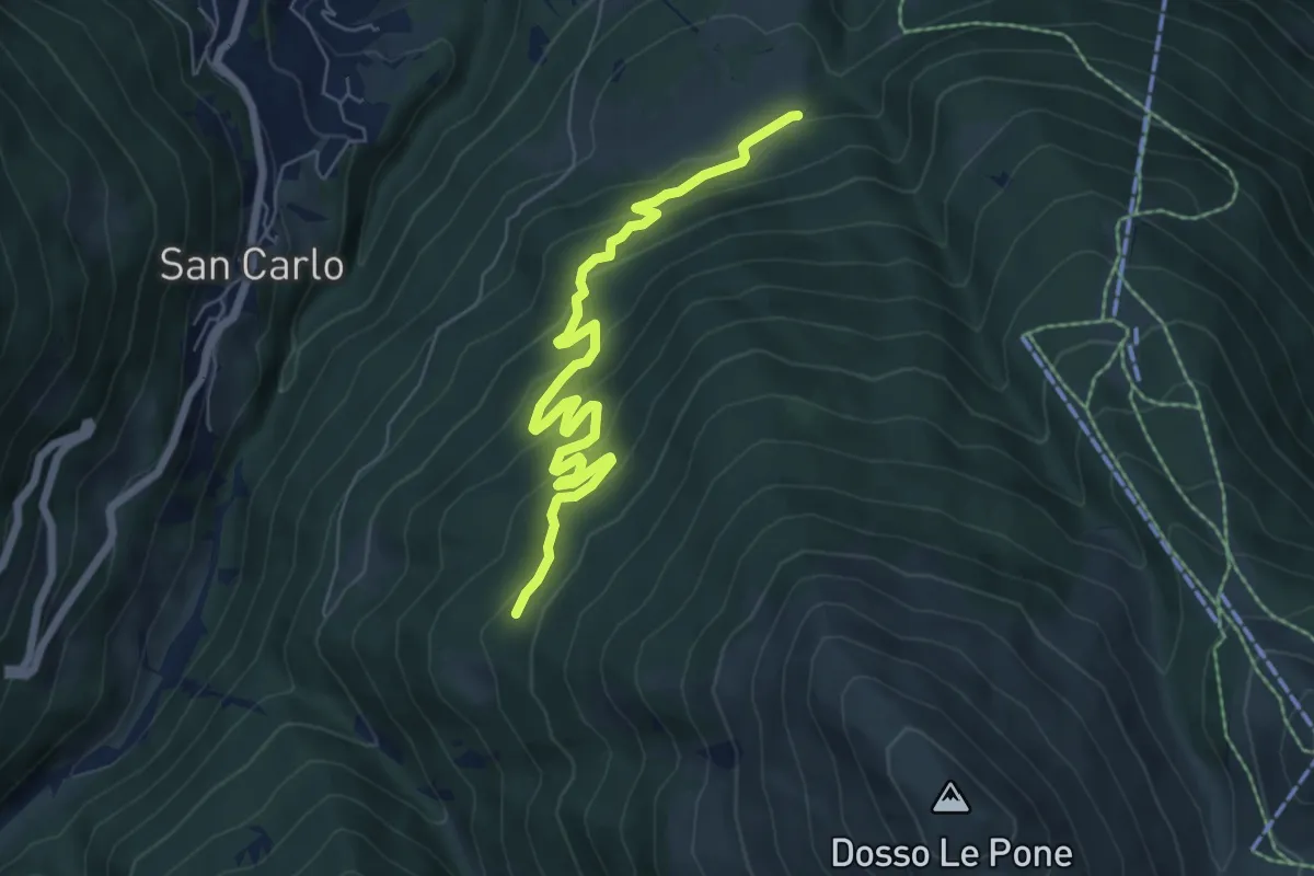
Medium · Trail
Innesto Sentiero 285 – Innesto Sentiero 209
7.2 km · ↑ 409 m · 2 h 35 min · 8 km away
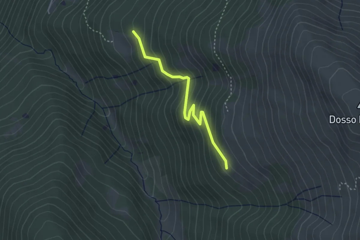
Easy · Trail
Innesto Sentiero 209 – Innesto Sentiero 208
3.0 km · ↑ 214 m · 1 h 11 min · 8 km away
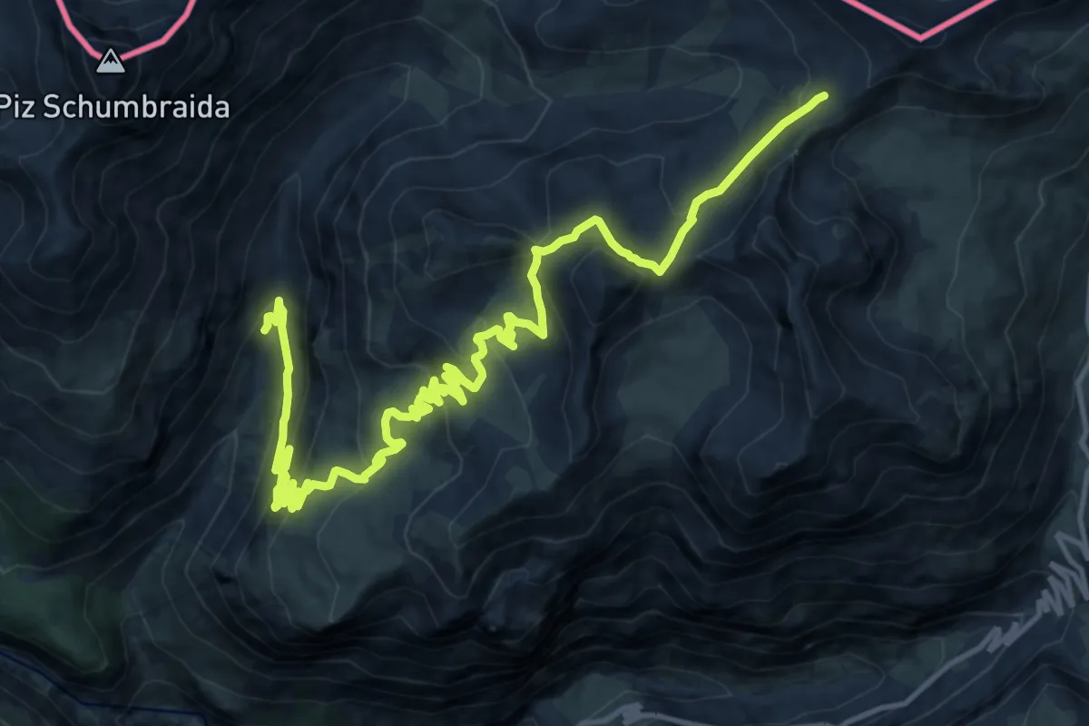
Demanding · Trail
145 – 145 (Caserma degli alpini)
18.3 km · ↑ 929 m · 6 h 20 min · 8 km away
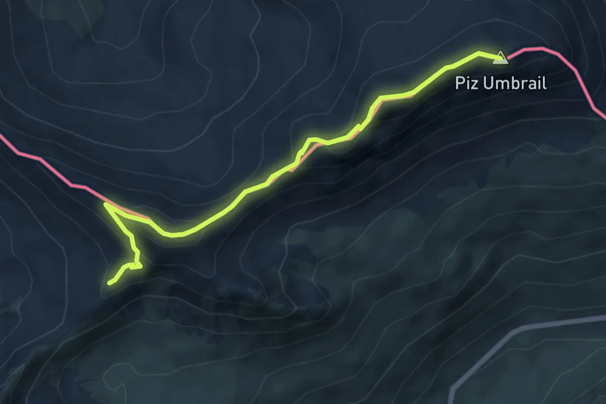
Expert · Summit
Piz Umbrail – Punta da Rims
5.2 km · ↑ 285 m · 1 h 51 min · 8 km away
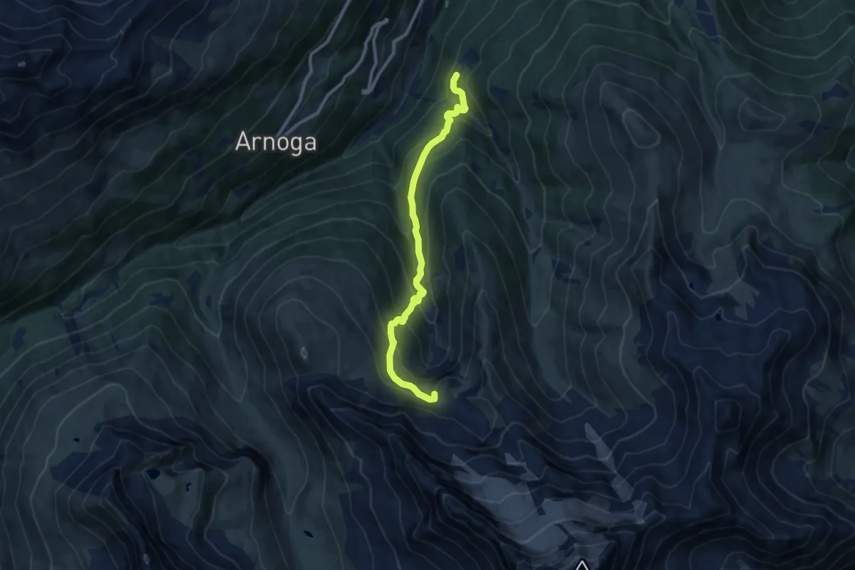
Medium · Trail
Prescedont – Innesto 208 - Bivacco Ferrario
9.4 km · ↑ 682 m · 3 h 41 min · 8 km away
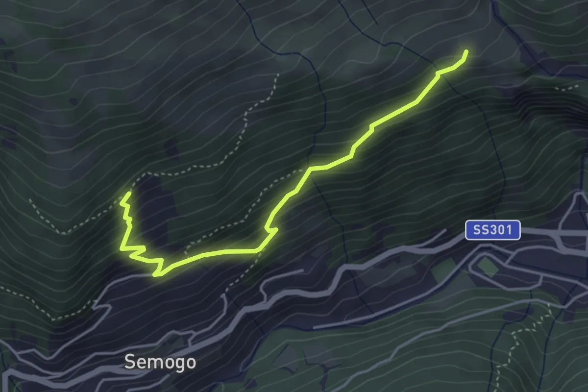
Medium · Trail
Piazza Sant'Abbondio (Segomo) – Dosso di Sopra (Semogo)
4.2 km · ↑ 391 m · 1 h 50 min · 9 km away
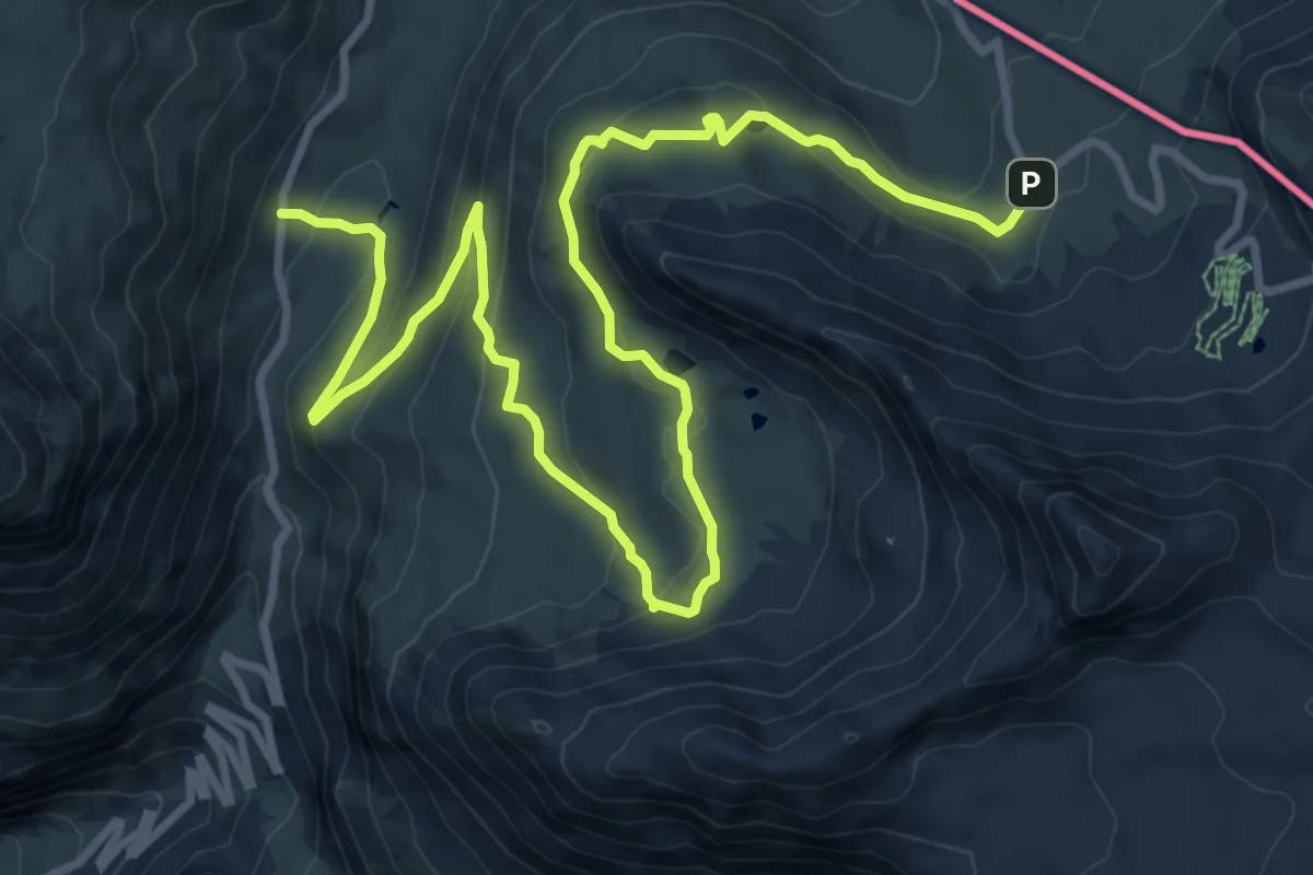
Demanding · Trail
Il Sentiero del Cambiamento Climatico
7.0 km · ↑ 164 m · 2 h 13 min · 9 km away
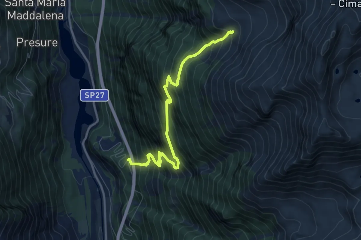
Demanding · Trail
Via Stelvio – Innesto Sentiero 521
8.0 km · ↑ 1013 m · 4 h 5 min · 9 km away
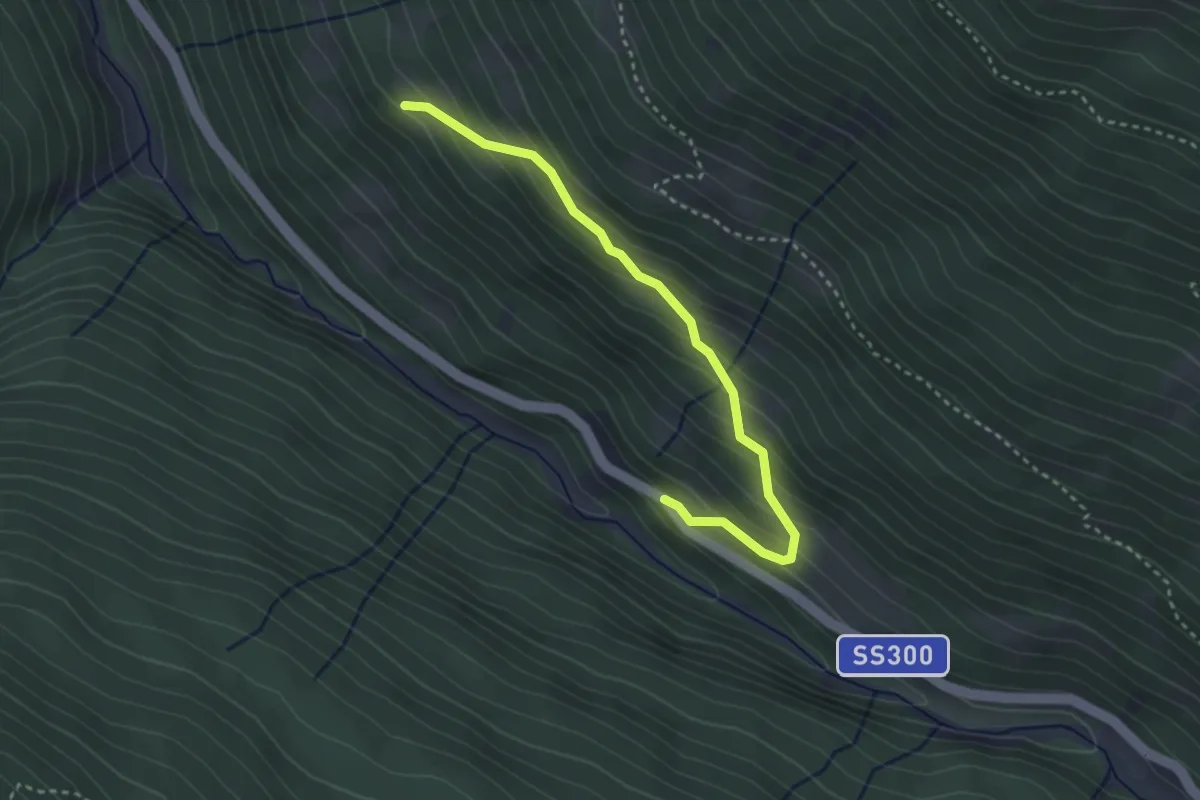
Easy · Trail
SS330 - Santa Caterina – Innesto Sentiero 571A
3.2 km · ↑ 285 m · 1 h 22 min · 9 km away
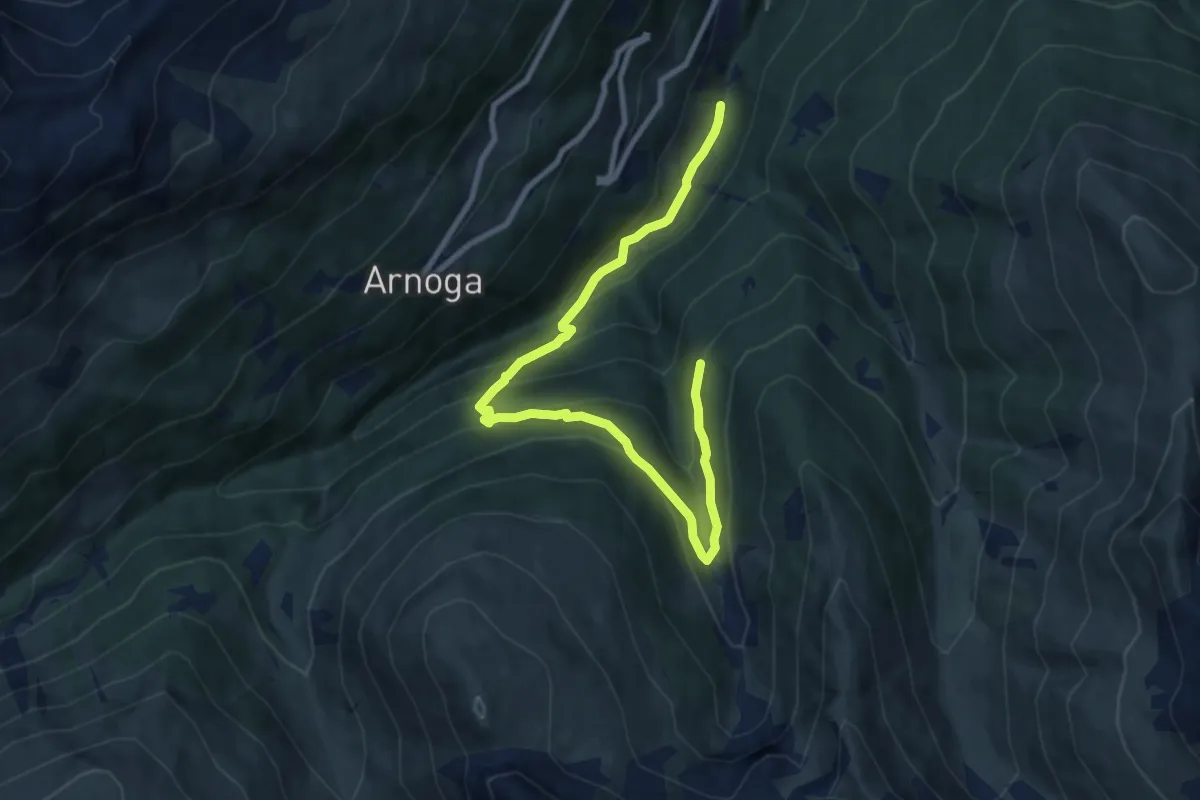
Medium · Trail
Innesto 209 – Innesto 288
10.2 km · ↑ 648 m · 3 h 49 min · 9 km away
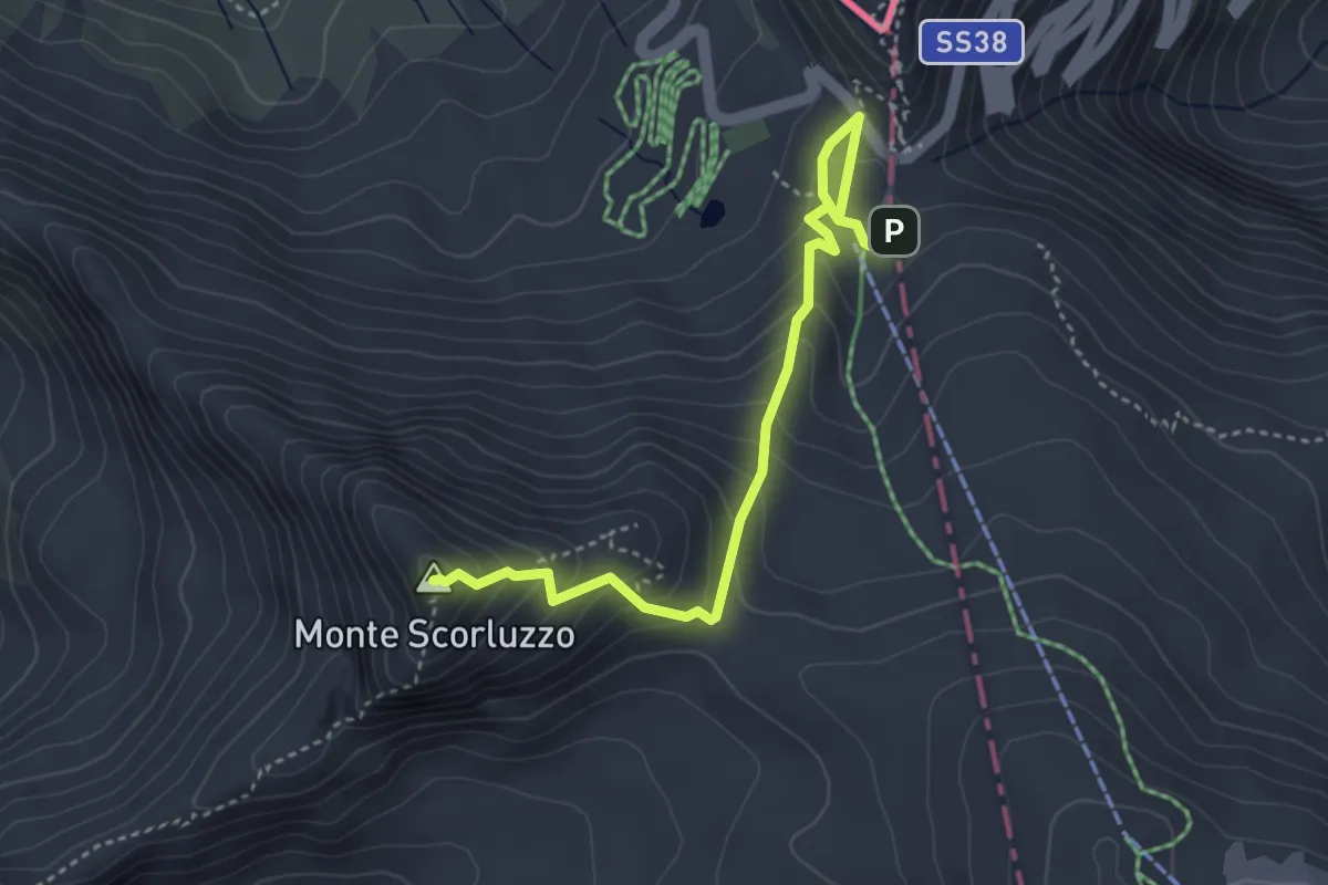
Demanding · Summit
Innesto Sentiero 505 – Innesto Sentiero 505
4.1 km · ↑ 314 m · 1 h 38 min · 9 km away
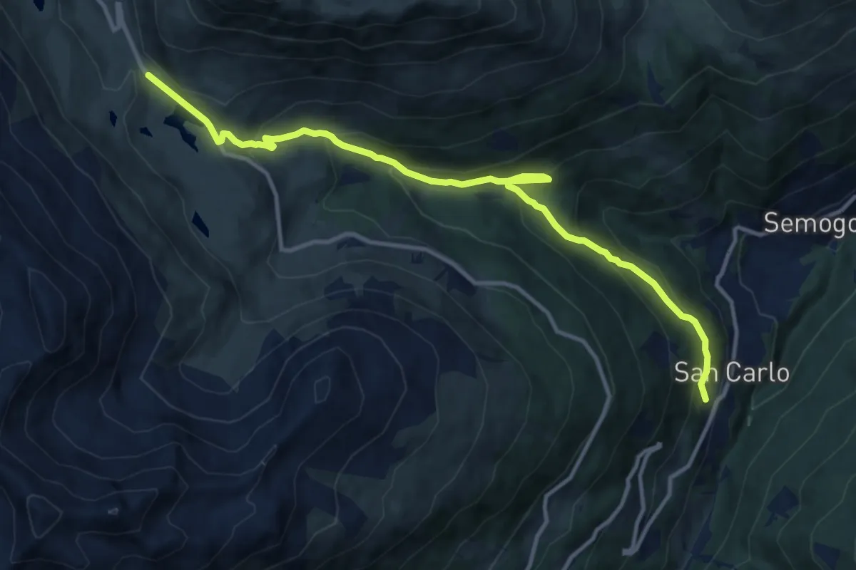
Medium · Trail
Via Clef (San Carlo) – Passo Foscagno
12.2 km · ↑ 771 m · 4 h 33 min · 9 km away
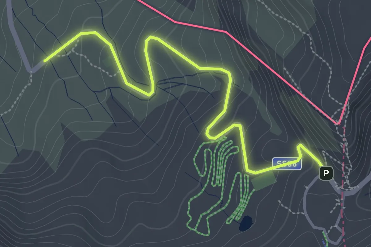
Easy · Trail
Innesto Sentiero 199 – Passo dello Stelvio
3.7 km · ↑ 167 m · 1 h 14 min · 9 km away
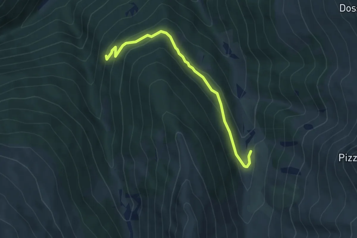
Easy · Trail
Innesto Sentiero 288 – Innesto Sentiero 208
5.0 km · ↑ 218 m · 1 h 39 min · 9 km away
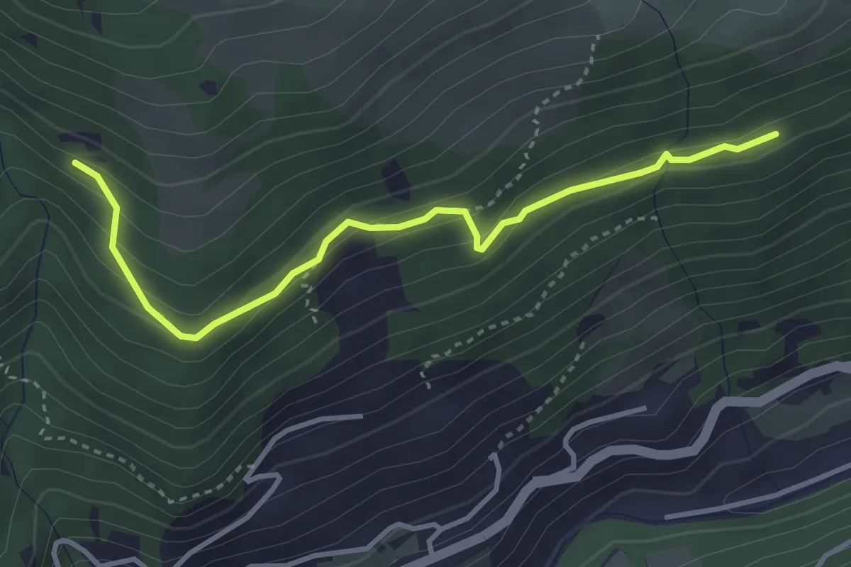
Medium · Trail
Innesto Sentiero 187 – Innesto Sentiero 195
3.5 km · ↑ 222 m · 1 h 19 min · 9 km away
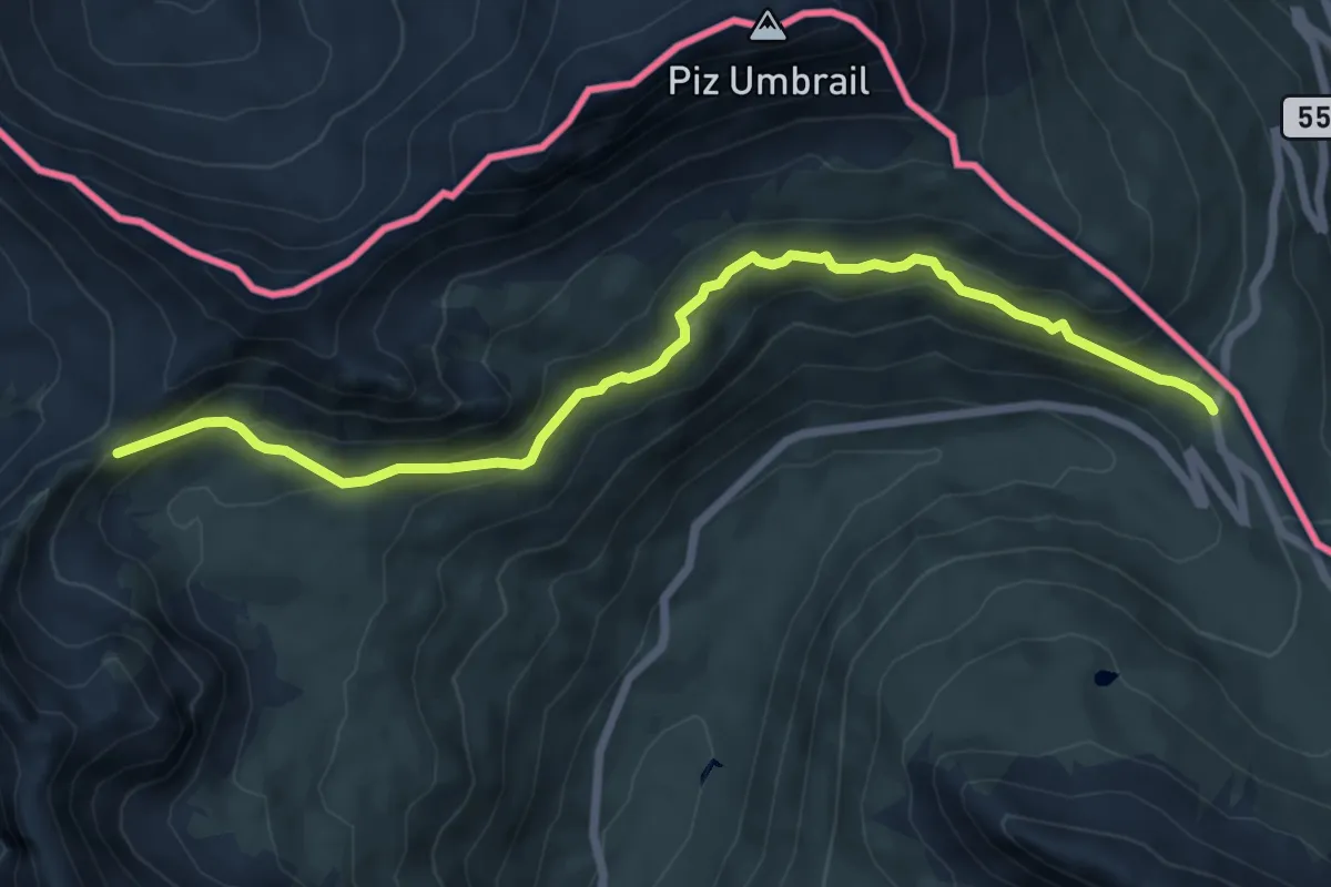
Medium · Trail
Chiesa di San Erasmo (DIga di Cancano) – Bocchetta di Forcola
7.6 km · ↑ 379 m · 2 h 36 min · 9 km away
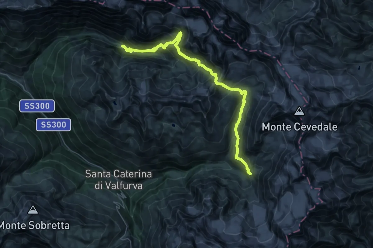
Demanding · Cabin
Rifugio Campo – Rifugio Branca
15.6 km · ↑ 1453 m · 6 h 48 min · 9 km away
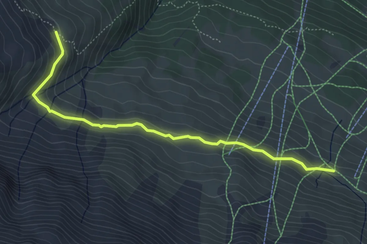
Easy · Trail
Innesto Sentiero 549 – Innesto Sentiero 560
5.5 km · ↑ 184 m · 1 h 42 min · 9 km away