Trails near Bormio
174 hikes starting within 15 km, nearest first.
Nearest first, page 3 of 4
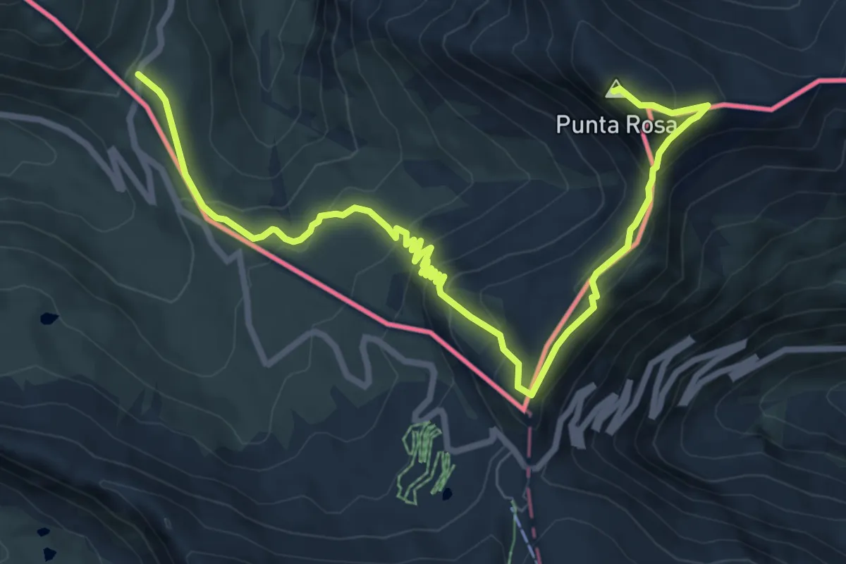
Expert · Summit
Pass Umbrail - Piz da las Trais Linguas - Piz Cotschen
9.5 km · ↑ 608 m · 3 h 34 min · 9 km away
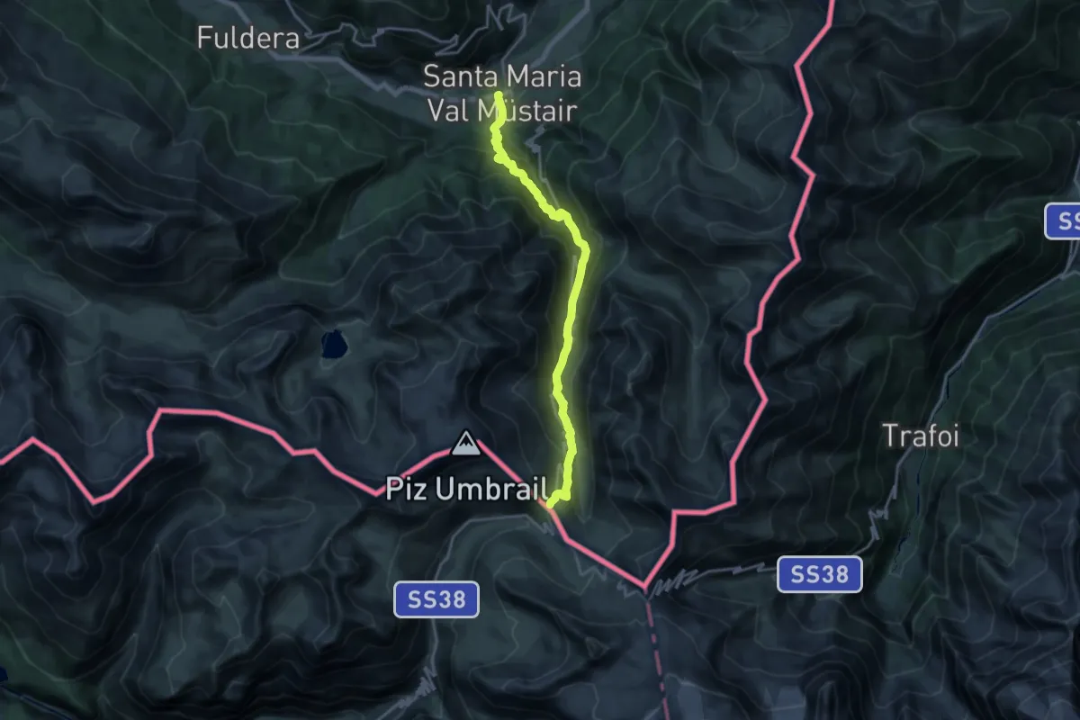
Demanding · Trail
Sta. Maria - Pass Umbrail
16.6 km · ↑ 1234 m · 6 h 35 min · 9 km away
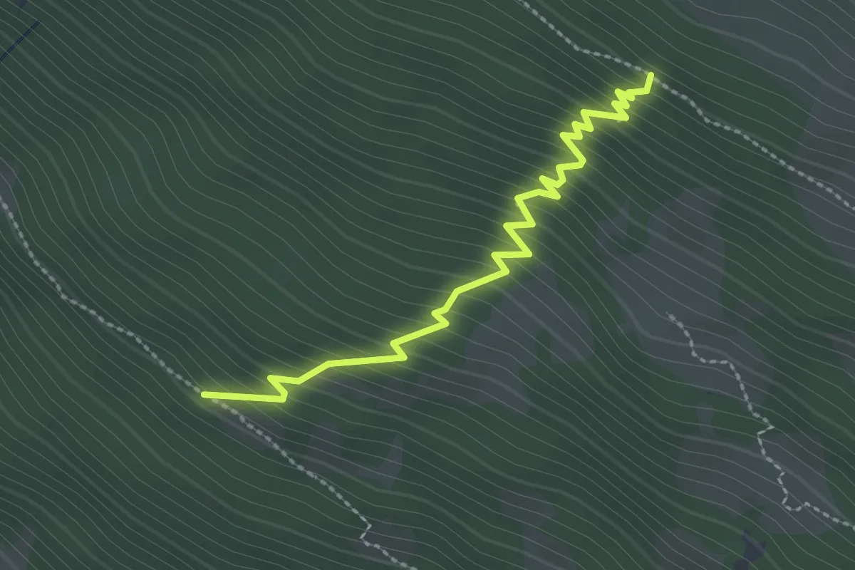
Medium · Trail
Innesto Sentiero 568 – Innesto Sentiero 527
2.7 km · ↑ 367 m · 1 h 25 min · 10 km away
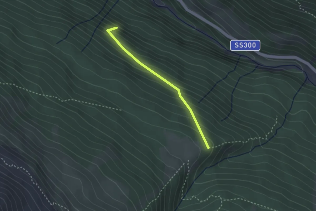
Easy · Trail
Innesto Sentiero 522 – Innesto Sentiero 549
2.4 km · ↑ 198 m · 1 h · 10 km away
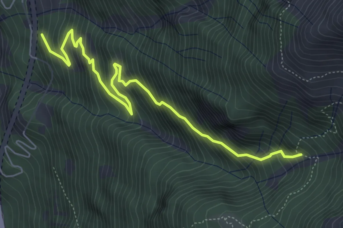
Demanding · Trail
Via Stelvio – Innesto Sentiero 518
6.2 km · ↑ 816 m · 3 h 14 min · 10 km away
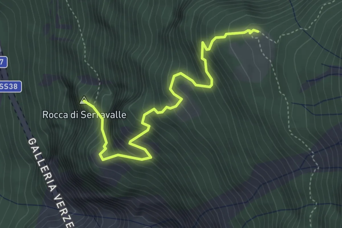
Demanding · Summit
Via Stelvio – Innesto Sentiero 518
4.5 km · ↑ 693 m · 2 h 34 min · 10 km away
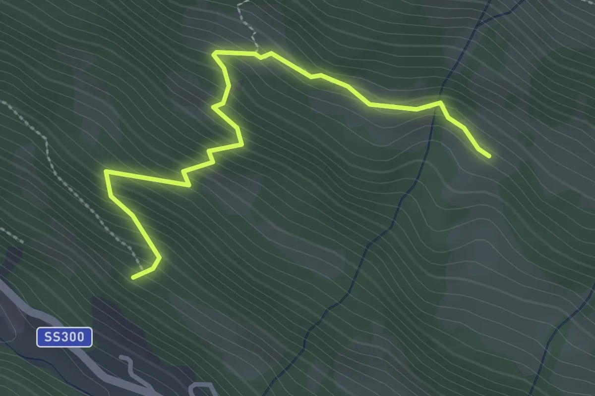
Medium · Trail
Innesto Sentiero 568 – Innesto Sentiero 571
3.0 km · ↑ 330 m · 1 h 26 min · 10 km away
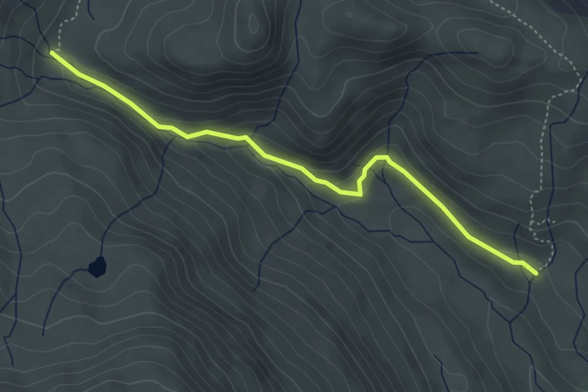
Easy · Trail
Innesto Sentiero 130 – Innesto Sentiero 196
4.4 km · ↑ 184 m · 1 h 26 min · 10 km away
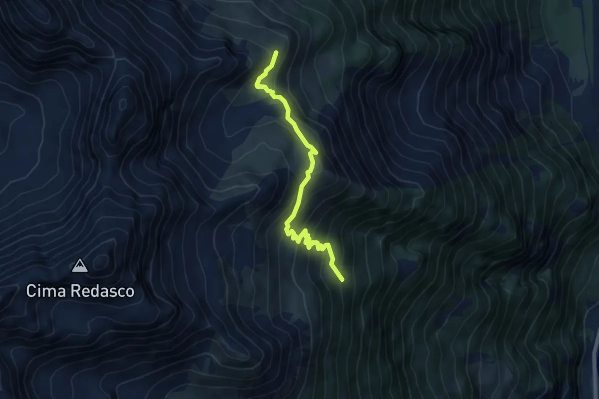
Medium · Trail
Innesto Sentiero 259 – Innesto Sentiero 208
5.3 km · ↑ 378 m · 2 h 4 min · 10 km away
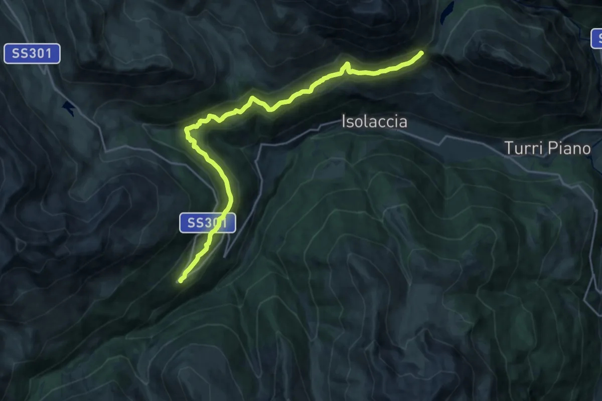
Demanding · Trail
Arnoga – Strada Militare Fior d'Alpe - Cancano - Itineraio 199
20.0 km · ↑ 889 m · 6 h 39 min · 10 km away
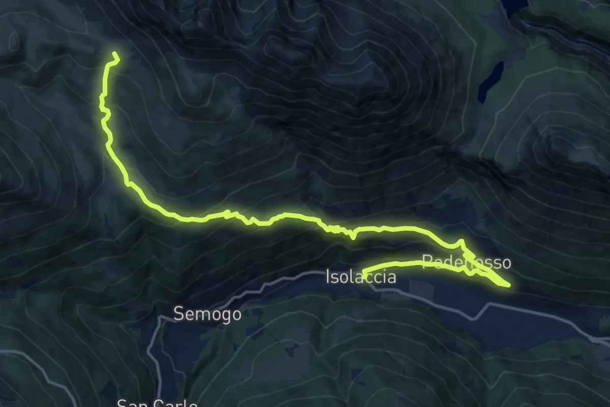
Demanding · Trail
Piazza Quattro Novembre (Isolaccia) – Bocchetta di Trela
18.8 km · ↑ 1110 m · 6 h 51 min · 10 km away
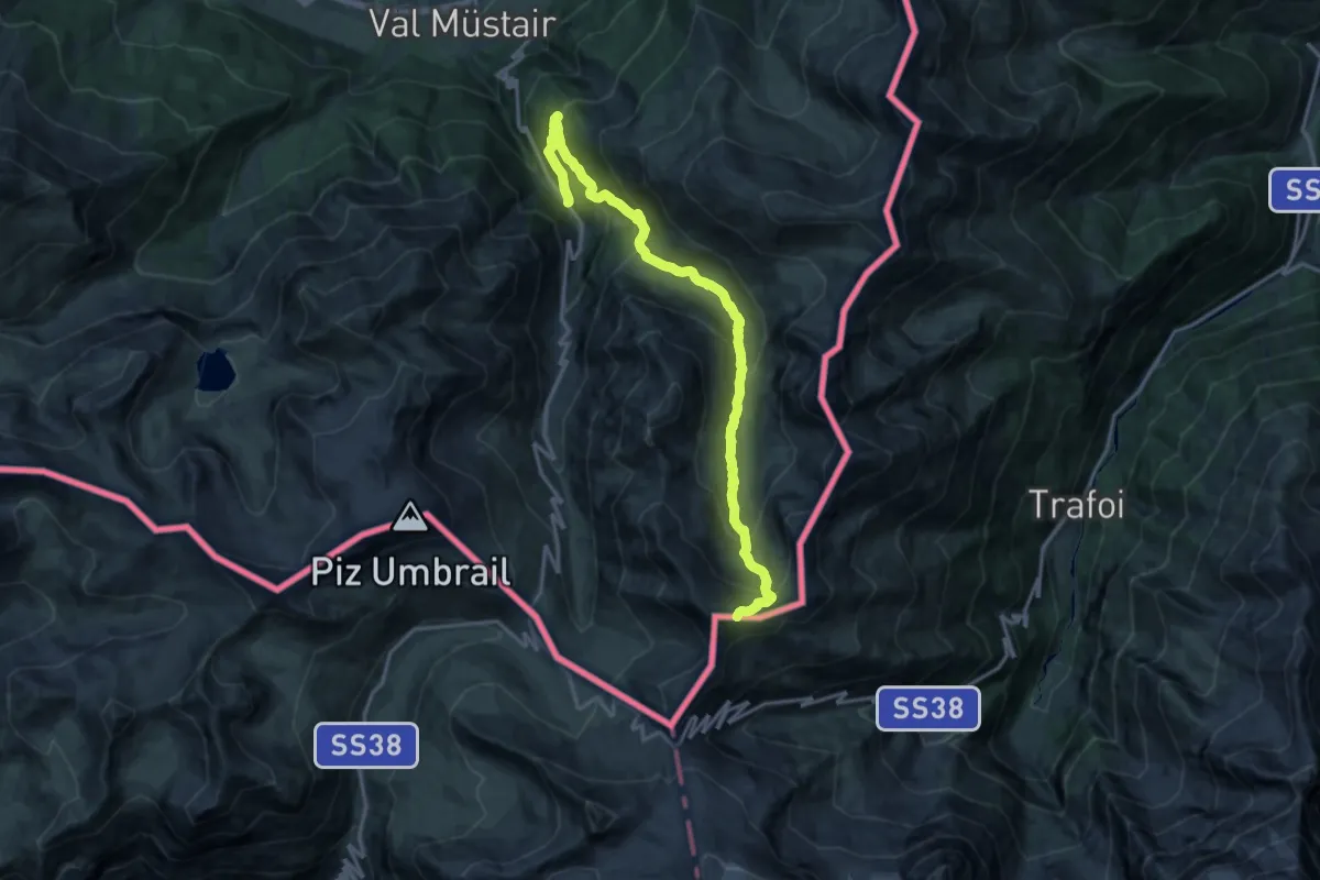
Demanding · Trail
Blockhaus - Alp Prasüra - Sella da Piz Cotschen
16.7 km · ↑ 1134 m · 6 h 25 min · 10 km away
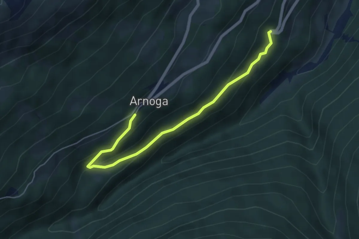
Easy · Trail
Arnoga – SS 301
4.9 km · ↑ 248 m · 1 h 42 min · 11 km away
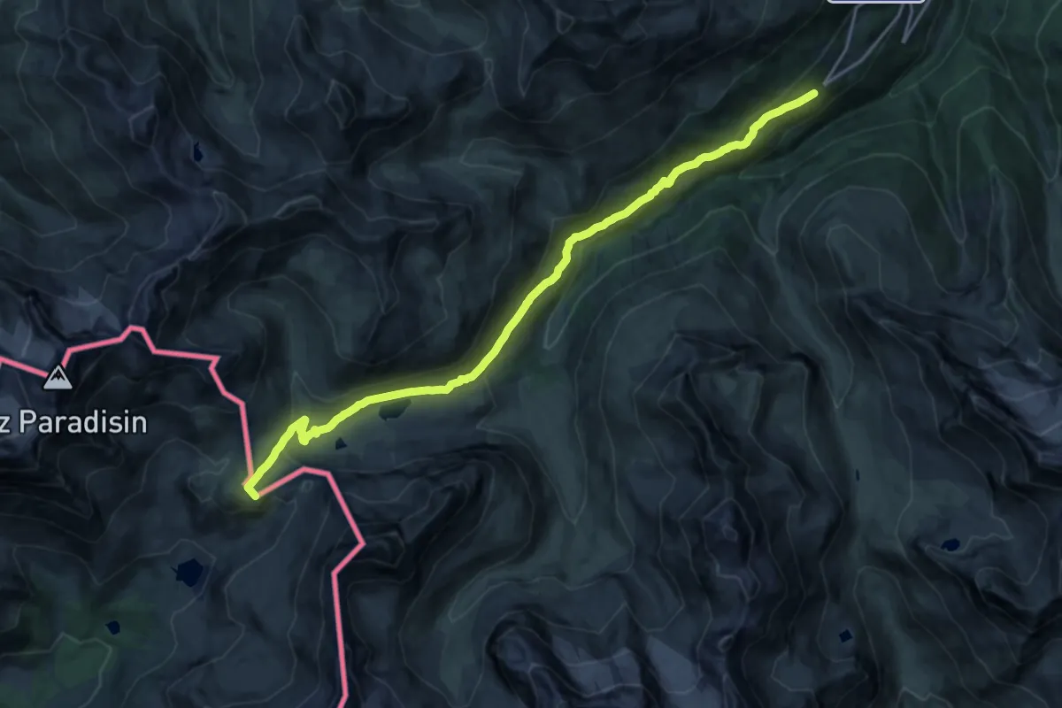
Demanding · Summit
Arnoga – Passo della Val Viola
19.8 km · ↑ 809 m · 6 h 26 min · 11 km away
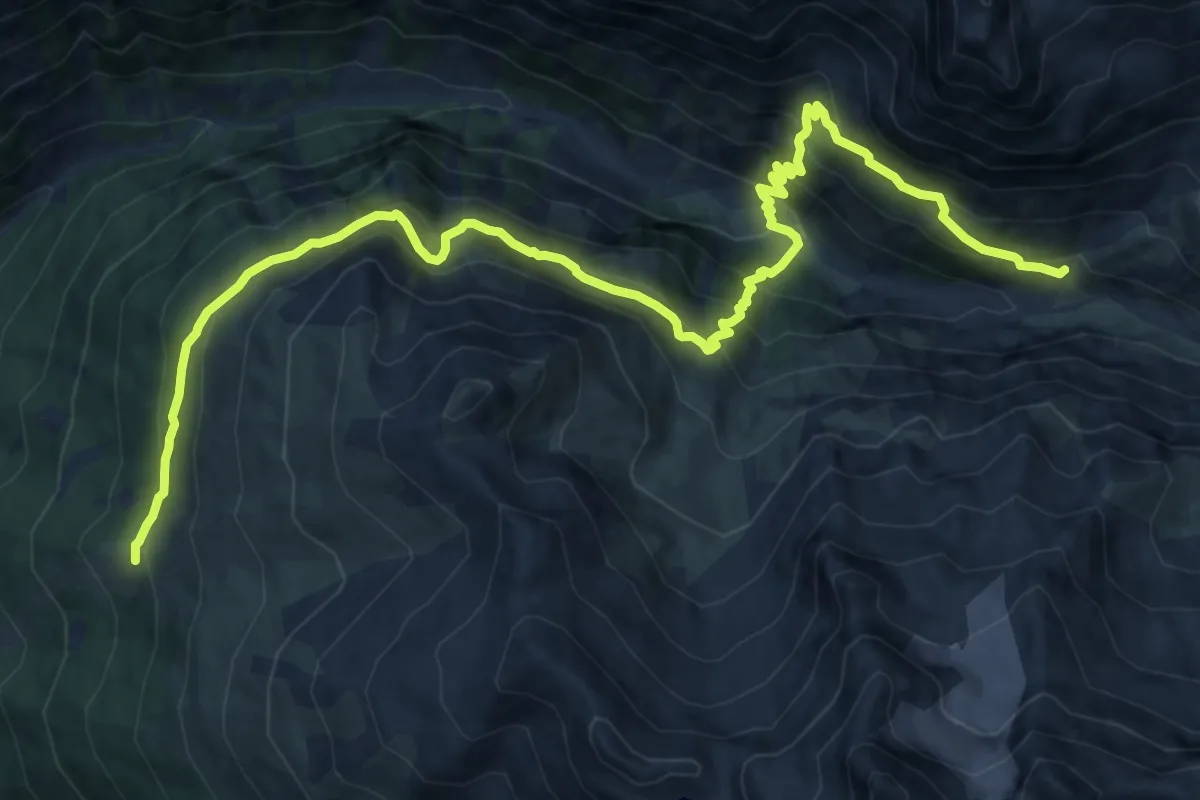
Demanding · Trail
Innesto Sentiero 527 – Innesto Sentiero 516
16.8 km · ↑ 1262 m · 6 h 42 min · 11 km away
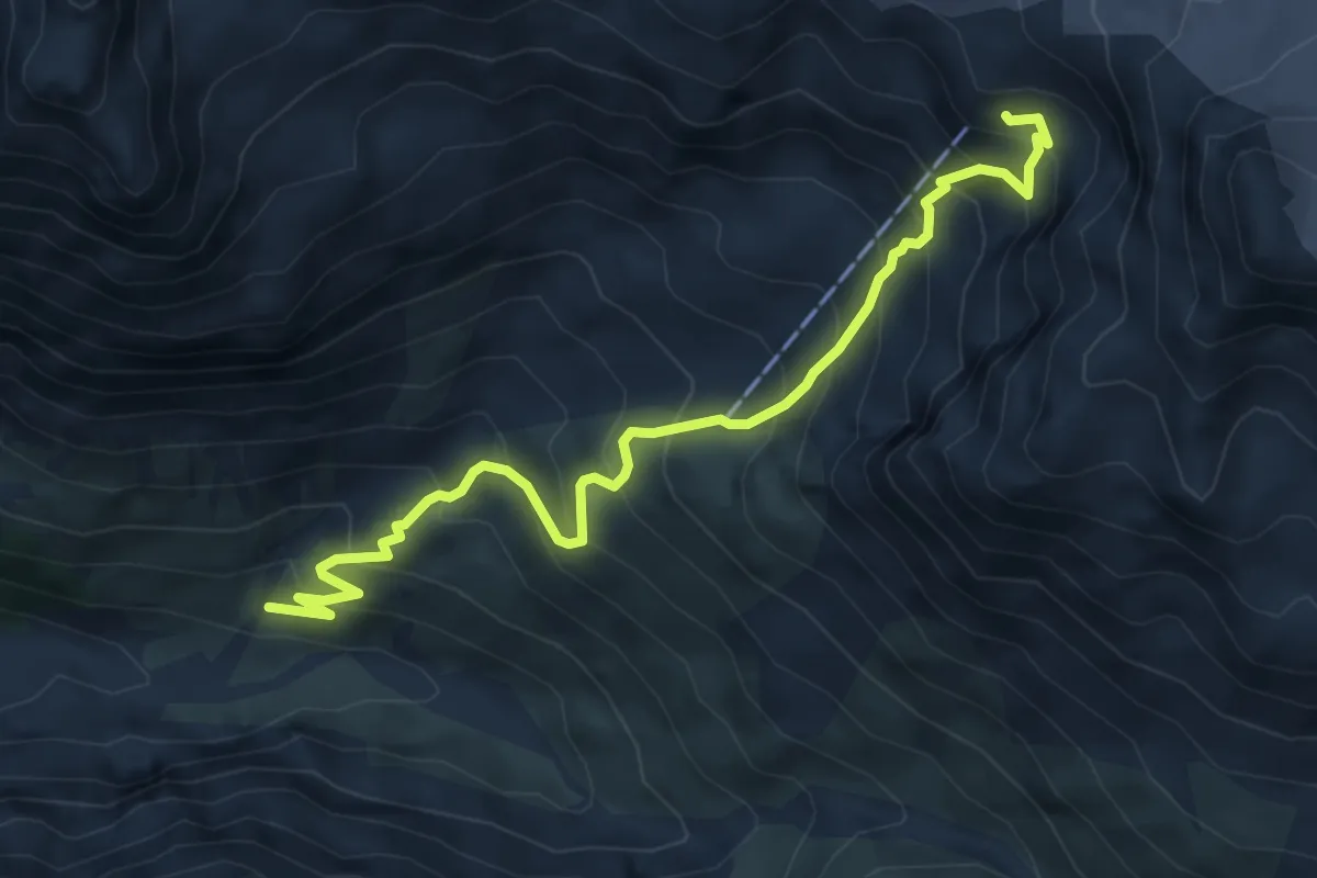
Medium · Cabin
Innesto Sentiero 510 – Rifugio Quinto Alpini
6.3 km · ↑ 693 m · 3 h · 11 km away
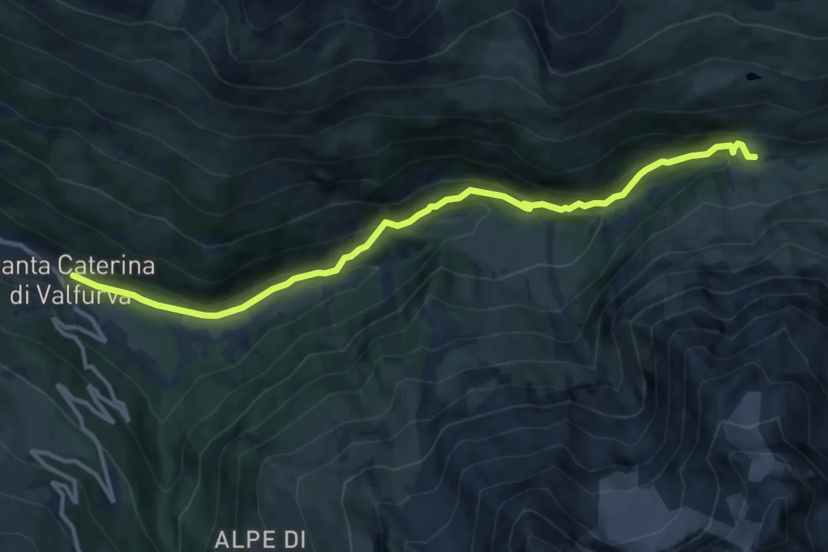
Medium · Cabin
Innesto Sentiero 522 – Incrocio Sentiero 525 - Sentiero 528
10.6 km · ↑ 520 m · 3 h 38 min · 11 km away
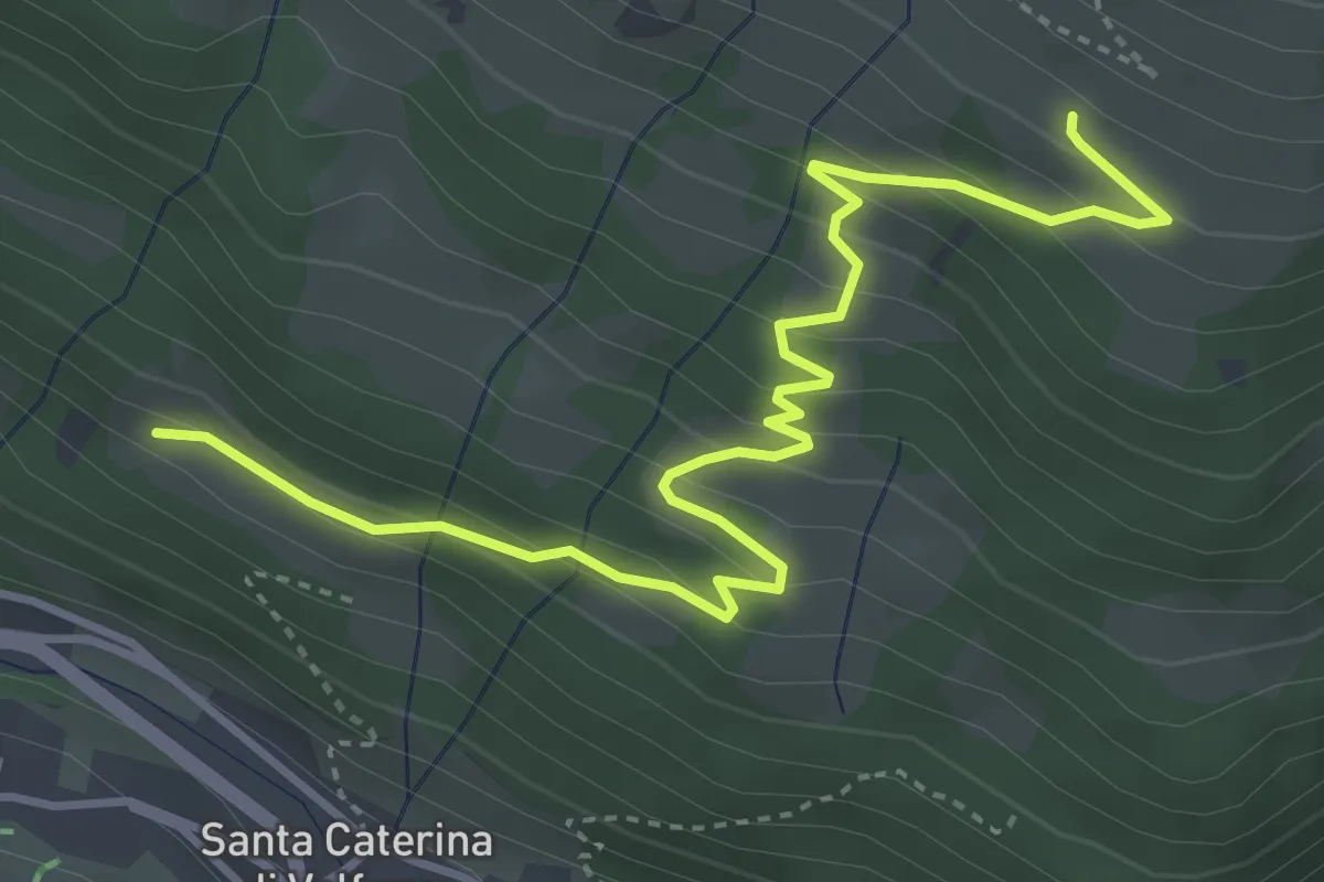
Medium · Trail
Innesto Sentiero 571 – Innesto Sentiero 571
4.7 km · ↑ 336 m · 1 h 50 min · 11 km away
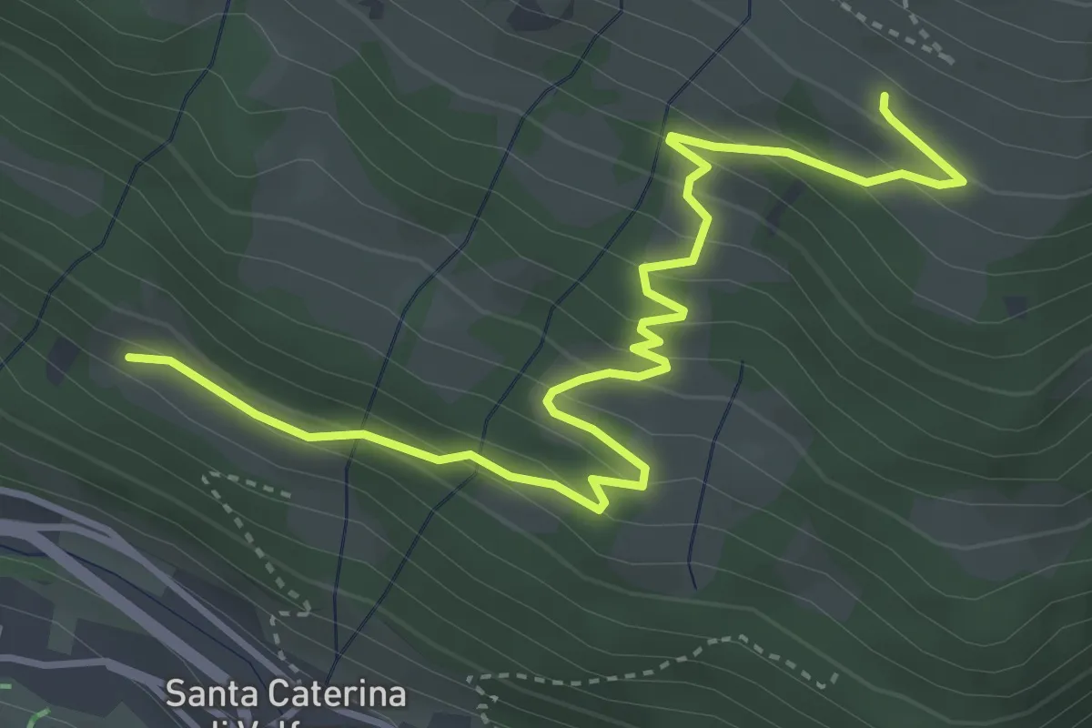
Medium · Trail
Innesto Sentiero 571 – Innesto Sentiero 571
4.7 km · ↑ 336 m · 1 h 50 min · 11 km away
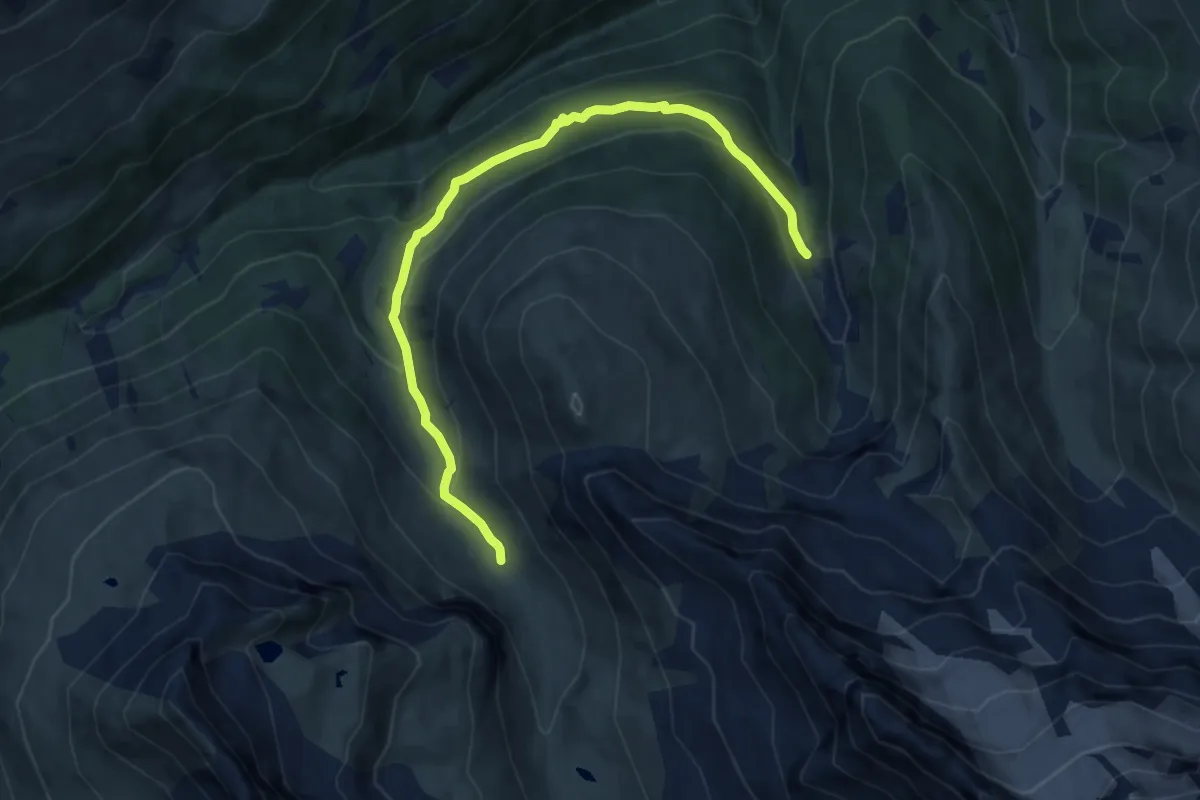
Medium · Trail
Innesto 288 – Innesto 208 - Torrente Val Verva
9.5 km · ↑ 469 m · 3 h 16 min · 11 km away
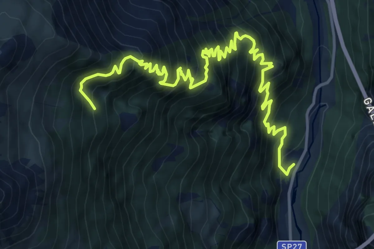
Demanding · Trail
SP 27 - Strada Provinciale dello Stelvio – Innesto 272
12.6 km · ↑ 1488 m · 6 h 12 min · 11 km away
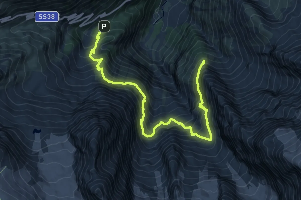
Expert · Cabin
Dreifernerweg
12.0 km · ↑ 1282 m · 5 h 37 min · 11 km away
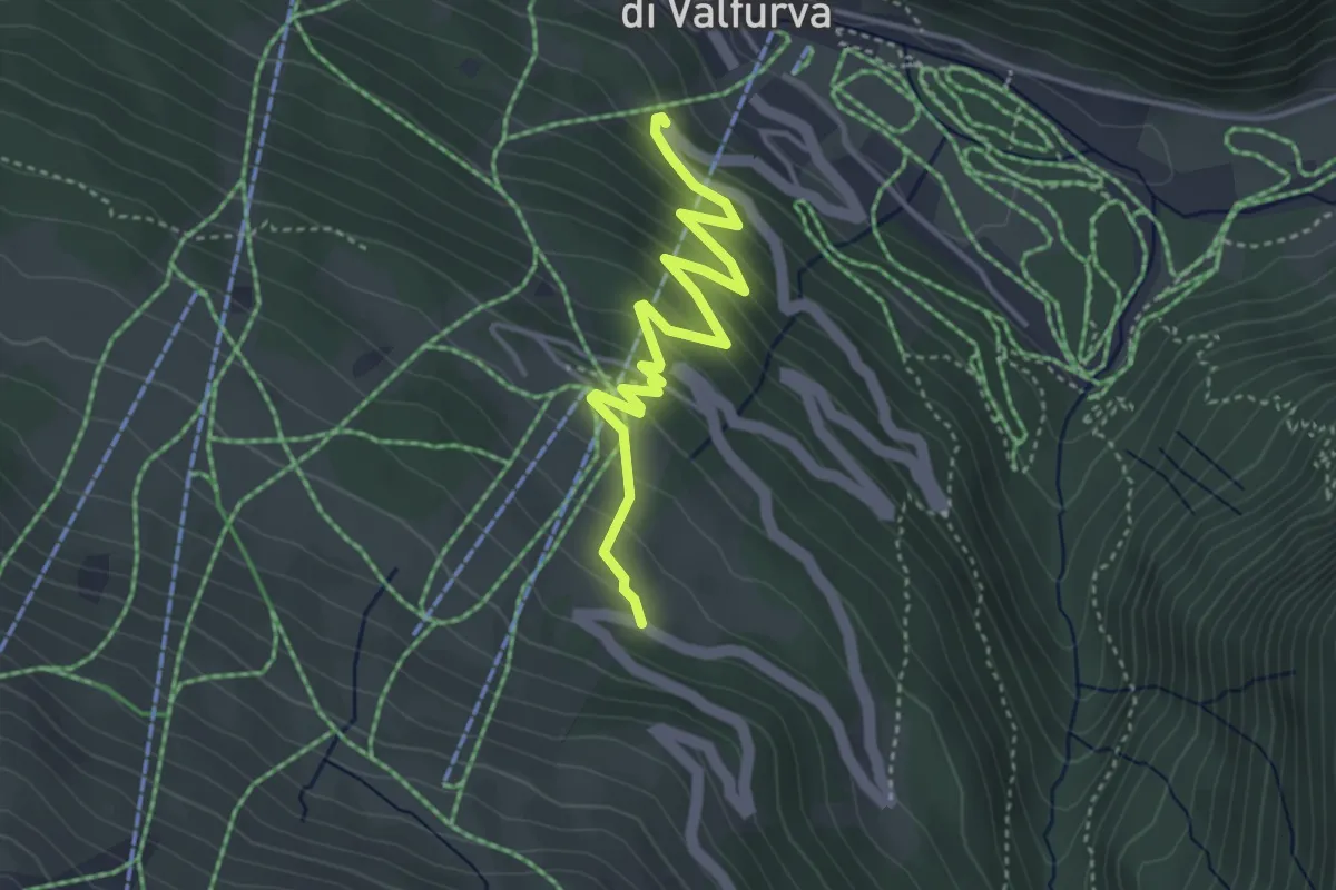
Medium · Trail
SS300 - Statale del Passo Gavia – SS300 - Statale del Passo Gavia
4.1 km · ↑ 276 m · 1 h 34 min · 12 km away
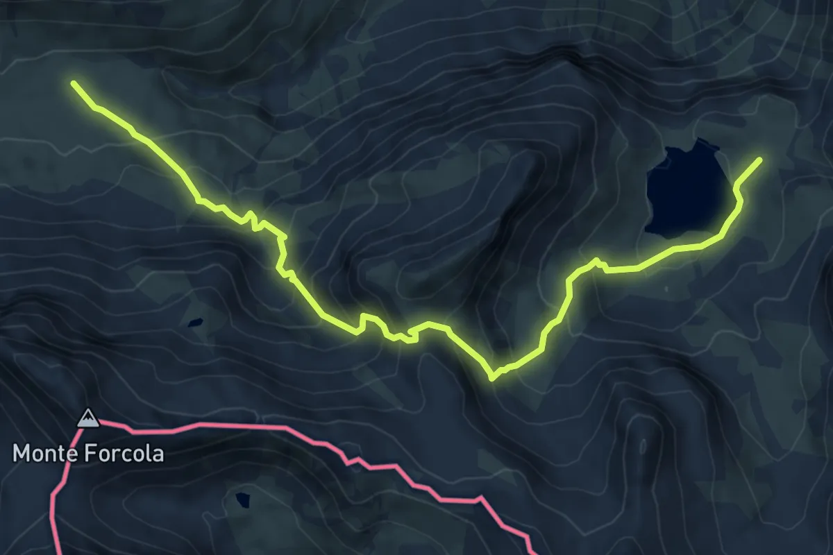
Medium · Trail
Lai da Rims – Doss Radond
9.5 km · ↑ 731 m · 3 h 50 min · 12 km away
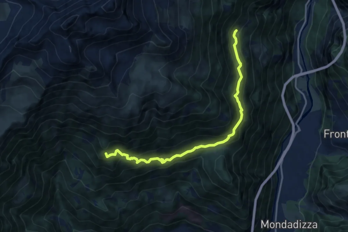
Medium · Trail
Innesto 272 – Innesto 208
10.2 km · ↑ 764 m · 4 h 4 min · 12 km away
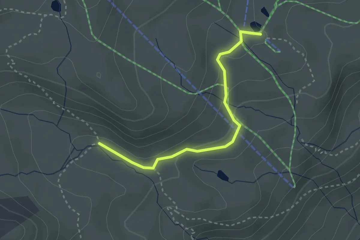
Easy · Cabin
Innesto Sentiero 563 – Innesto Sentiero 562
2.6 km · ↑ 76 m · 46 min · 12 km away
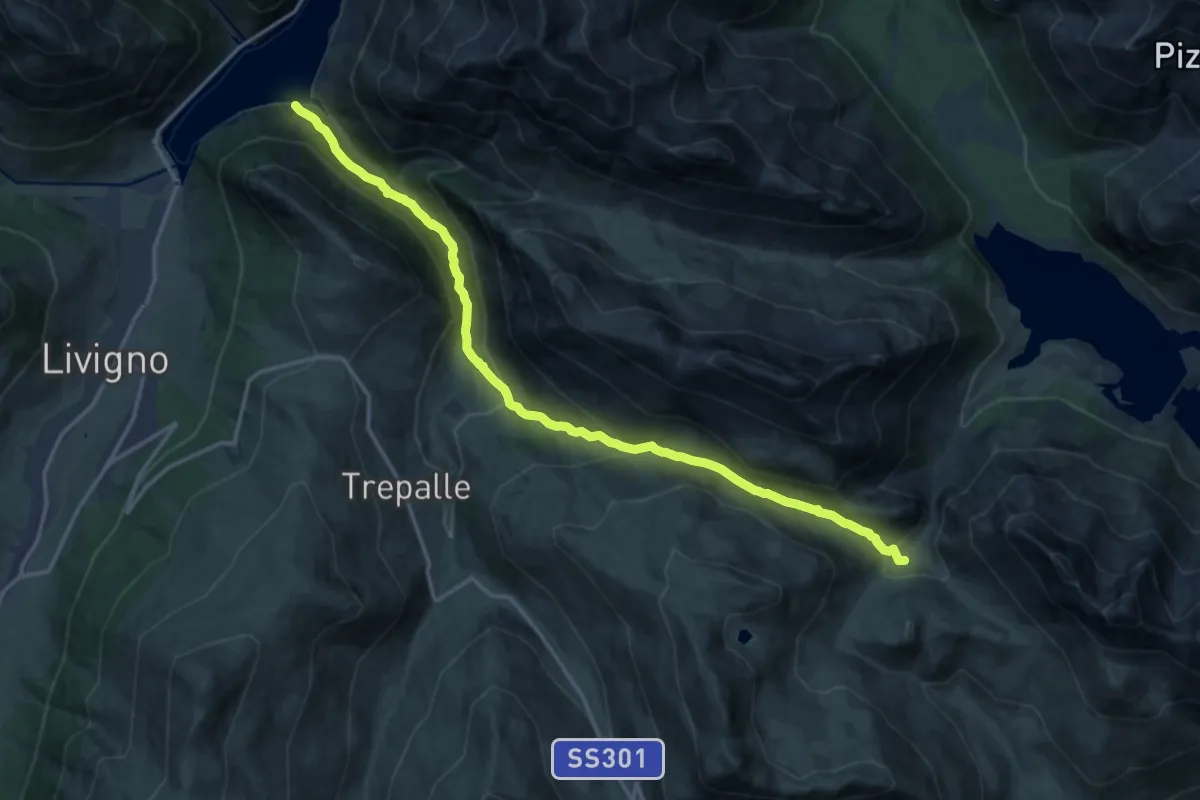
Demanding · Trail
138 – Casine di Trela
17.2 km · ↑ 848 m · 5 h 54 min · 12 km away
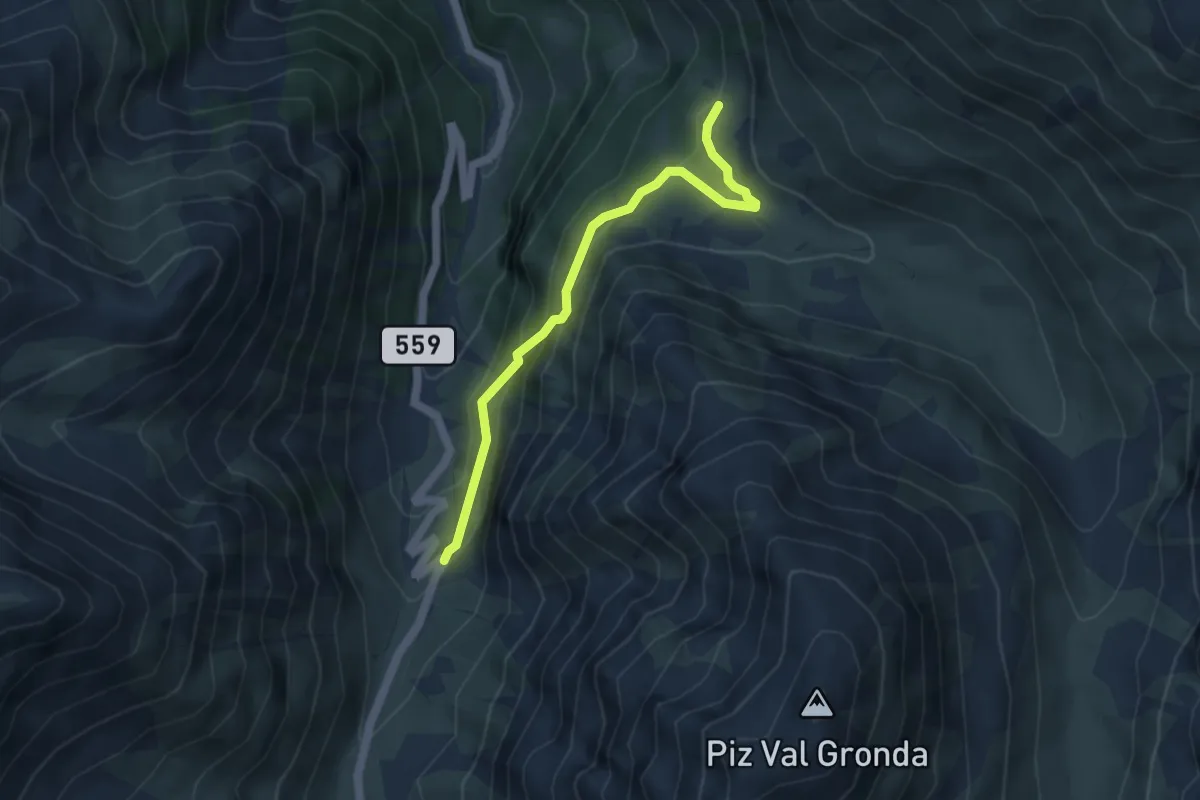
Easy · Trail
Sta. Maria Val M., Val Gronda – Alp Prasura
4.2 km · ↑ 278 m · 1 h 36 min · 12 km away
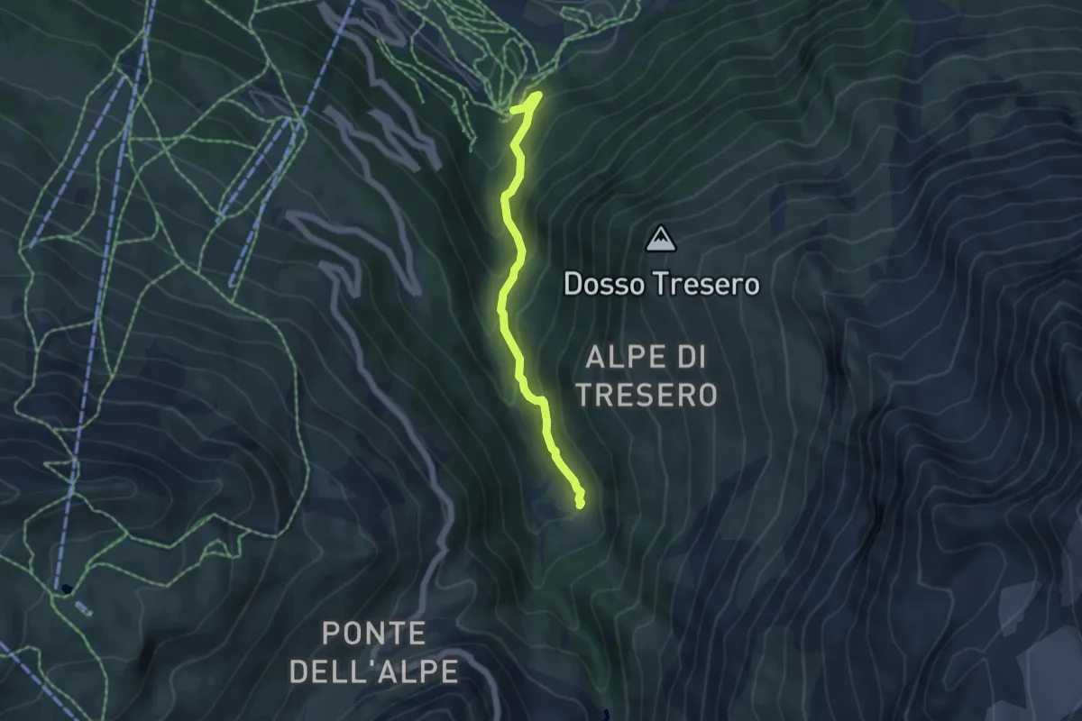
Demanding · Trail
Innesto Sentiero 557 – Innesto Sentiero 561
4.3 km · ↑ 356 m · 1 h 47 min · 12 km away
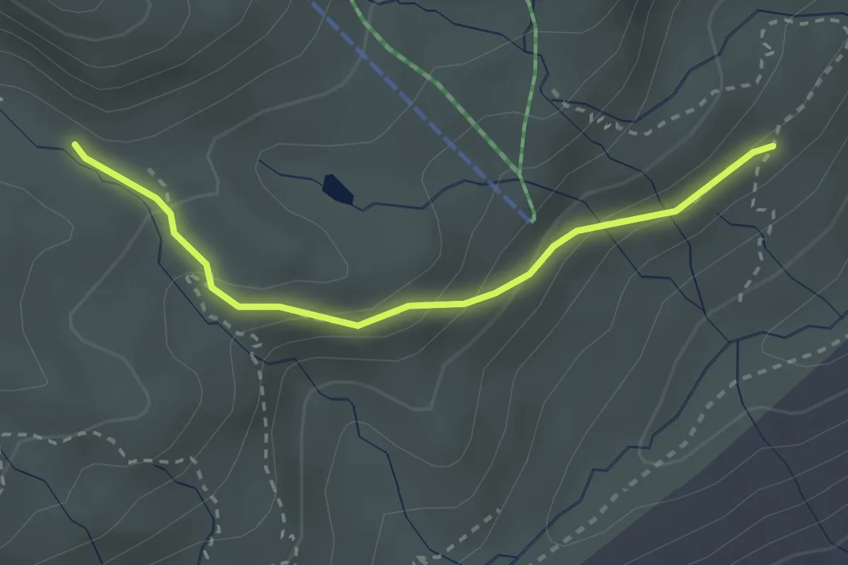
Demanding · Trail
Innesto Sentiero 564 – Innesto Sentiero 563
2.6 km · ↑ 151 m · 56 min · 12 km away
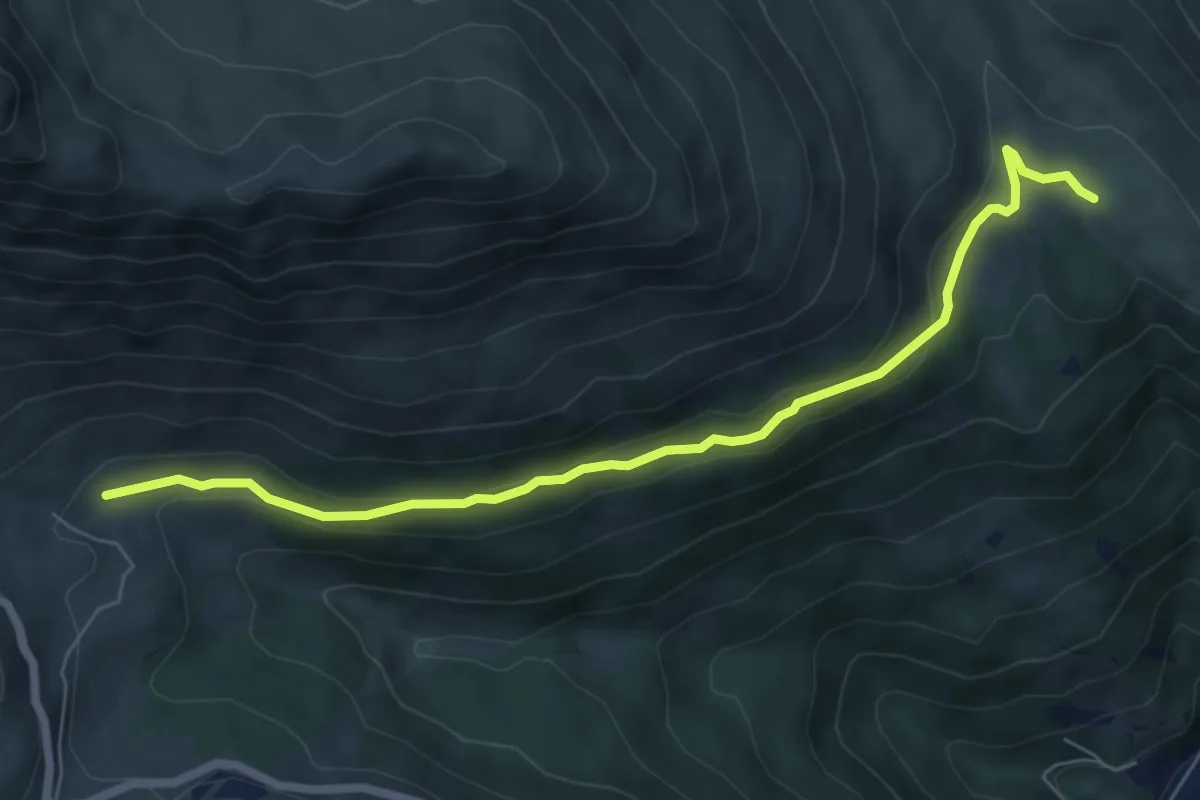
Easy · Trail
Innesto Sentiero 186 – Innesto Sentiero 196
6.8 km · ↑ 254 m · 2 h 10 min · 12 km away
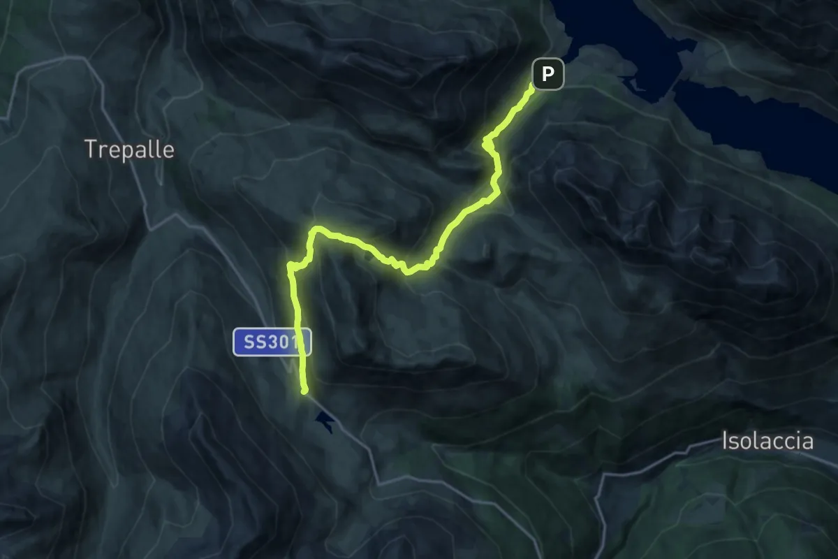
Demanding · Trail
Lago di San Giacomo – Passo Foscagno
17.4 km · ↑ 1096 m · 6 h 29 min · 12 km away
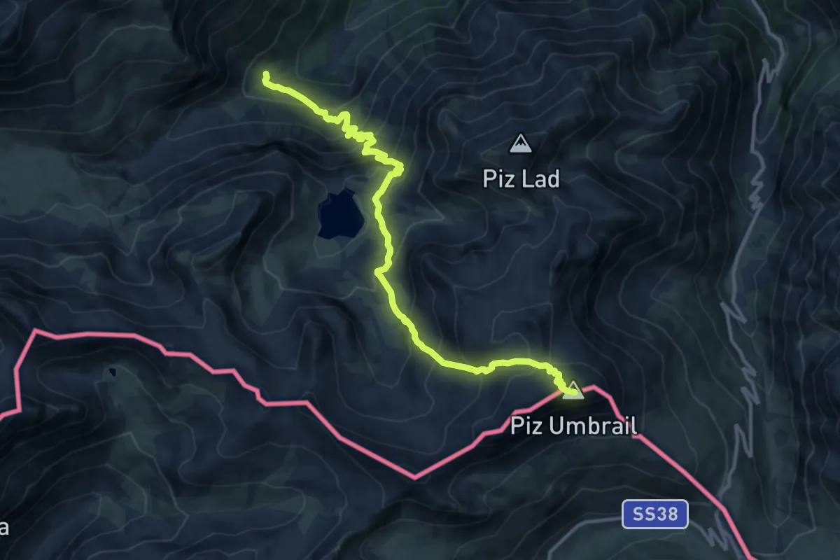
Expert · Summit
Pass Umbrail – Las Clastras
12.5 km · ↑ 1078 m · 5 h 18 min · 12 km away
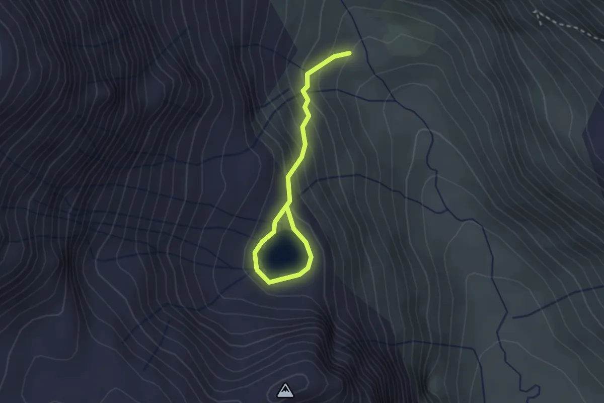
Easy · Trail
Innesto Sentiero 201 – Lago Calosso
2.6 km · ↑ 163 m · 59 min · 12 km away
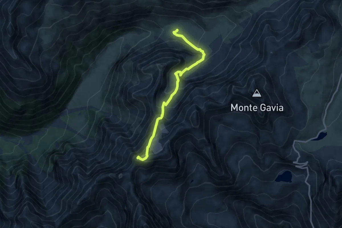
Expert · Summit
Innesto Sentiero 519 – Passo di Pietrarossa
9.5 km · ↑ 909 m · 4 h 12 min · 12 km away
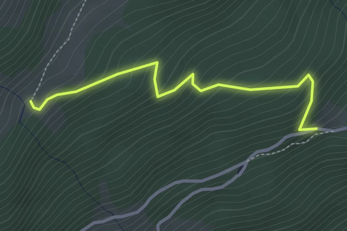
Easy · Trail
Innesto Sentiero 148 – Innesto Sentiero 290
2.5 km · ↑ 226 m · 1 h 4 min · 12 km away
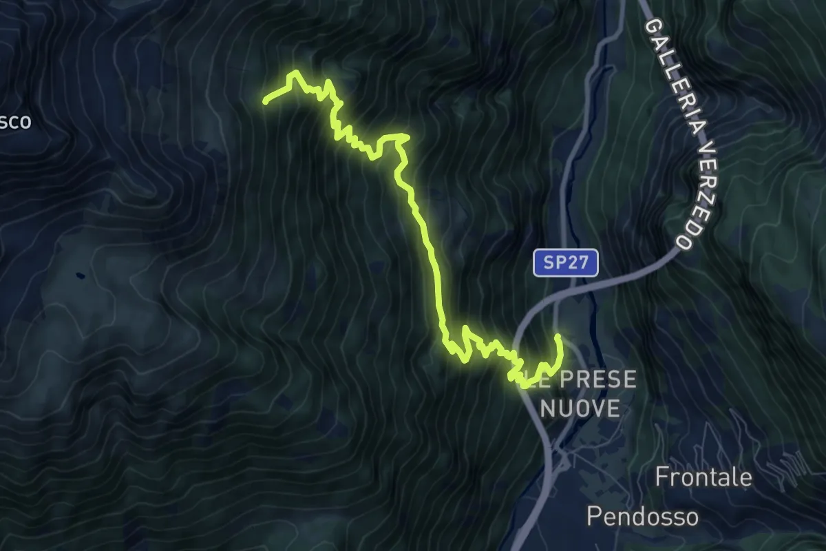
Demanding · Trail
SP 27 - Strada Provinciale dello Stelvio – Innesto 208
10.1 km · ↑ 1218 m · 5 h 1 min · 13 km away
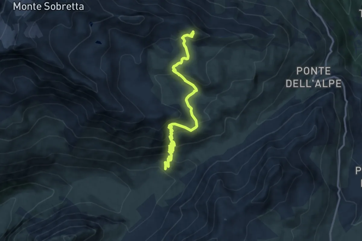
Expert · Trail
Innesto Sentiero 519 – Innesto Sentiero 563
9.7 km · ↑ 763 m · 3 h 57 min · 13 km away
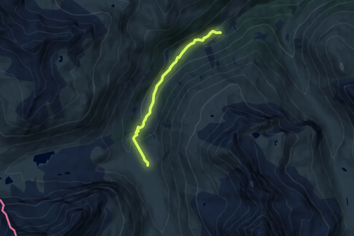
Easy · Cabin
Baite Paluetta – Innesto 294
7.2 km · ↑ 246 m · 2 h 14 min · 13 km away
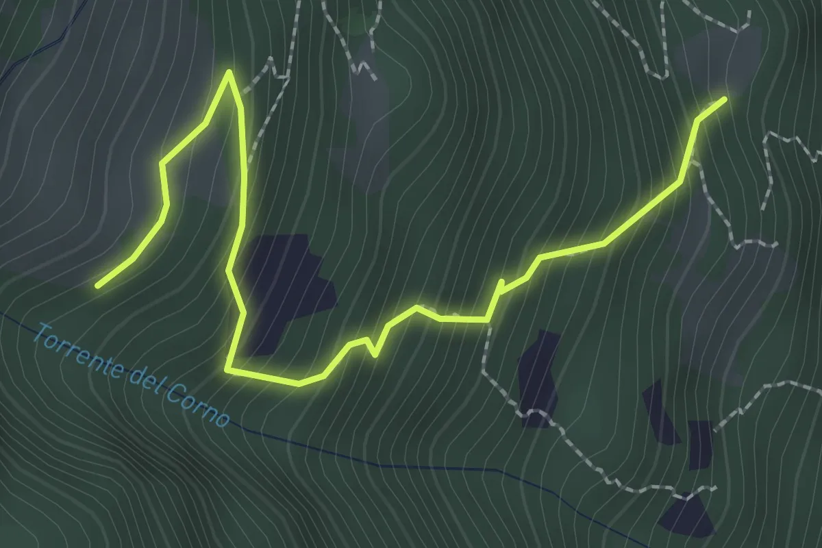
Medium · Trail
Innesto Sentiero 271 – Innesto Sentiero 269A
2.8 km · ↑ 360 m · 1 h 26 min · 13 km away
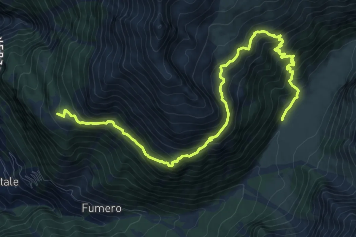
Demanding · Trail
Innesto Sentiero 518 – Innesto Sentiero 519
14.5 km · ↑ 1253 m · 6 h 8 min · 13 km away
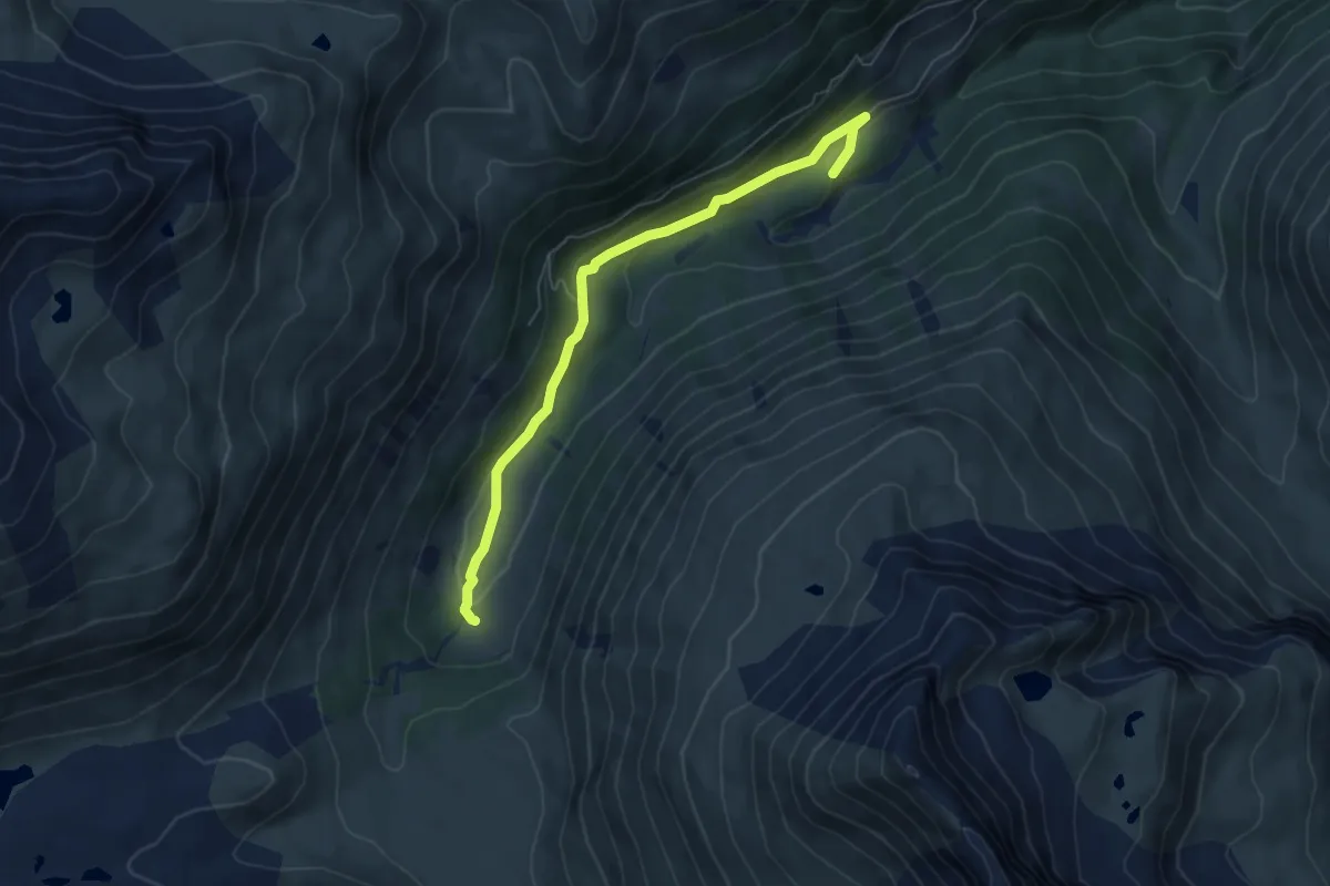
Easy · Trail
Innesto 290 – Innesto 291
6.0 km · ↑ 158 m · 1 h 46 min · 13 km away
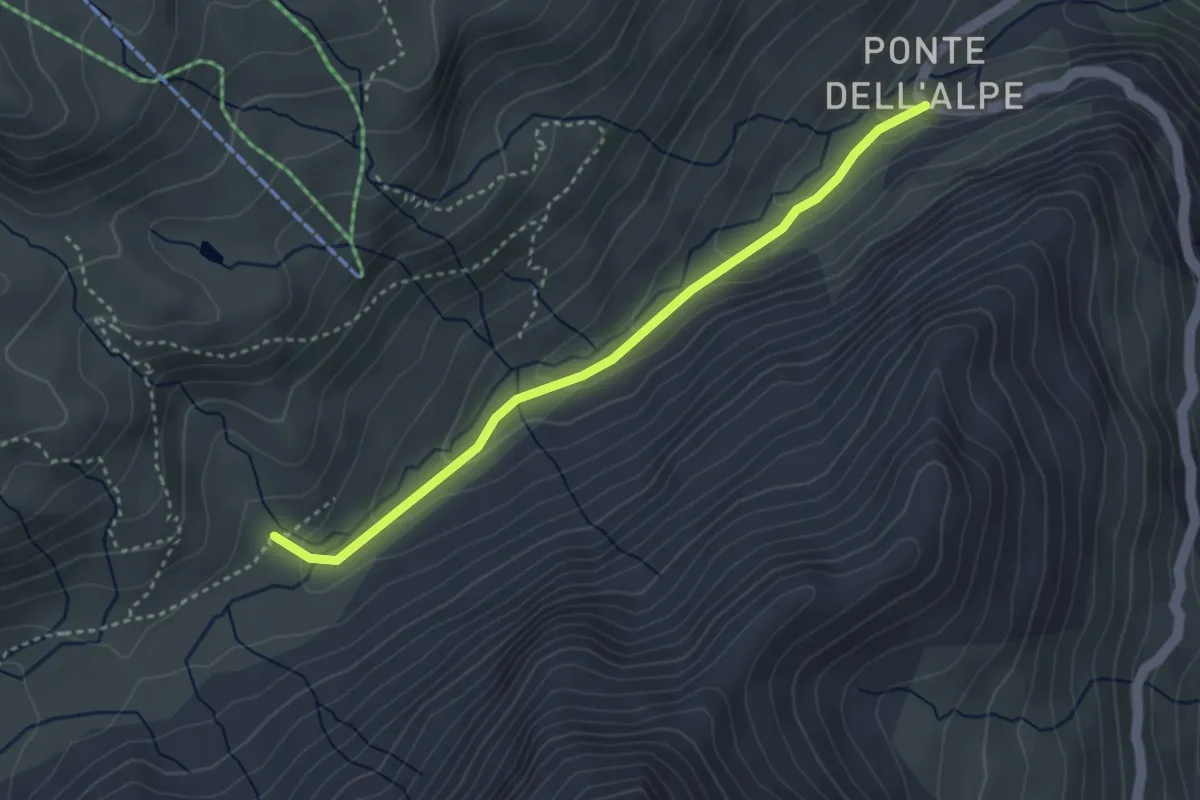
Medium · Trail
Innesto Sentiero 519 – Ponte dell'Alpe
3.4 km · ↑ 137 m · 1 h 6 min · 13 km away
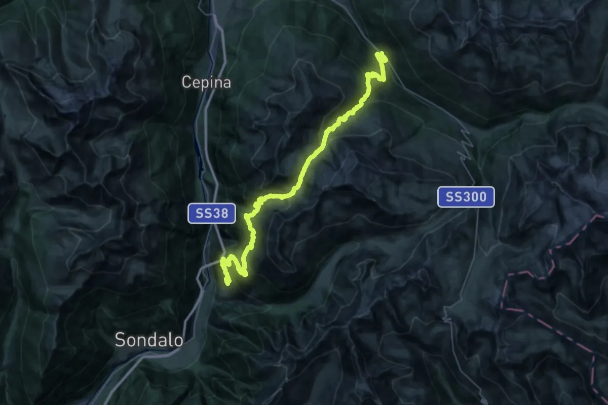
Demanding · Trail
Innesto Sentiero 519 – Innesto Sentiero SP 29
19.4 km · ↑ 1627 m · 8 h 16 min · 13 km away
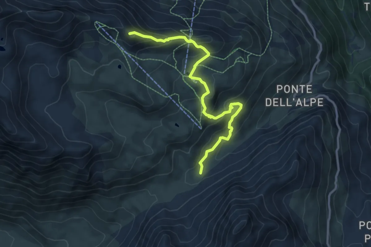
Medium · Trail
Innesto Sentiero 562 – Innesto Sentiero 519.2
7.9 km · ↑ 516 m · 2 h 59 min · 13 km away
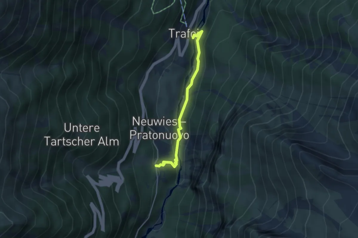
Medium · Trail
Grottenweg
3.2 km · ↑ 139 m · 1 h 3 min · 13 km away
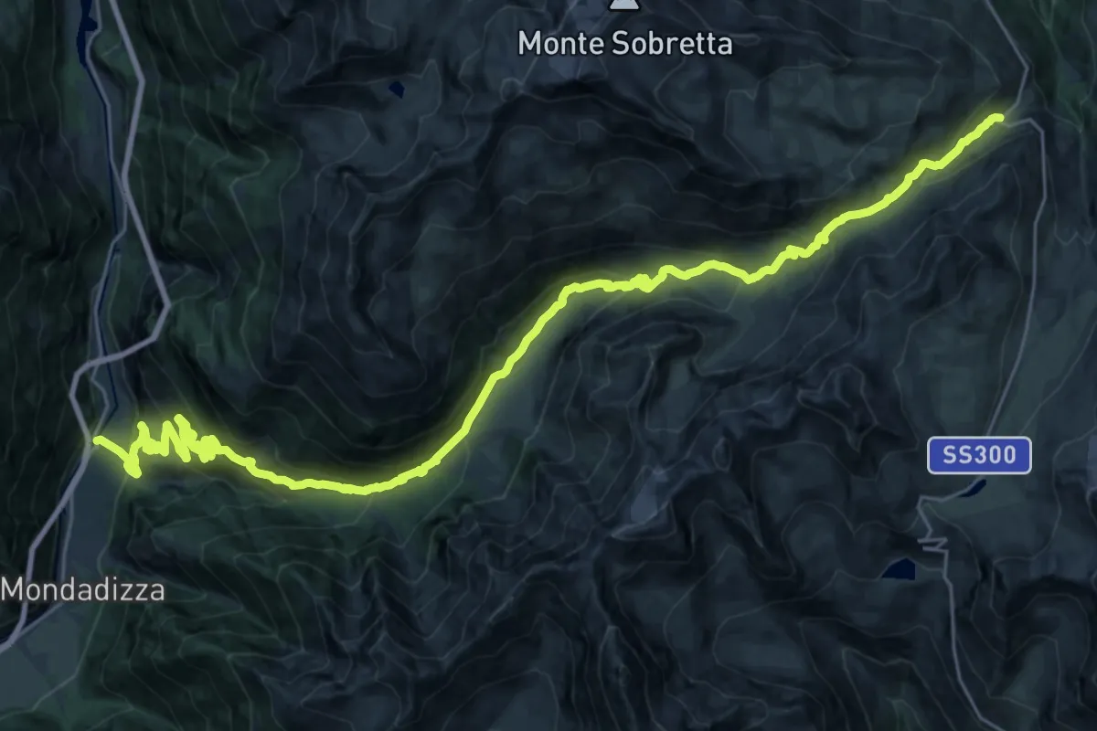
Demanding · Trail
SP27 (La Prese) – SS330 (Malga dell'Alpe)
18.8 km · ↑ 411 m · 6 h 16 min · 13 km away
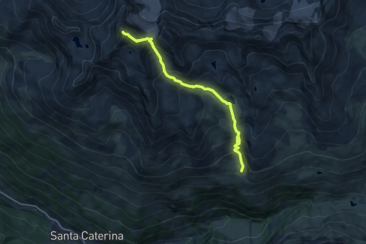
Expert · Summit
Innesto Sentiero 527 – Monte Confinale
9.5 km · ↑ 910 m · 4 h 13 min · 13 km away