Trails near Botticino
210 hikes starting within 15 km, nearest first.
Nearest first, page 3 of 5
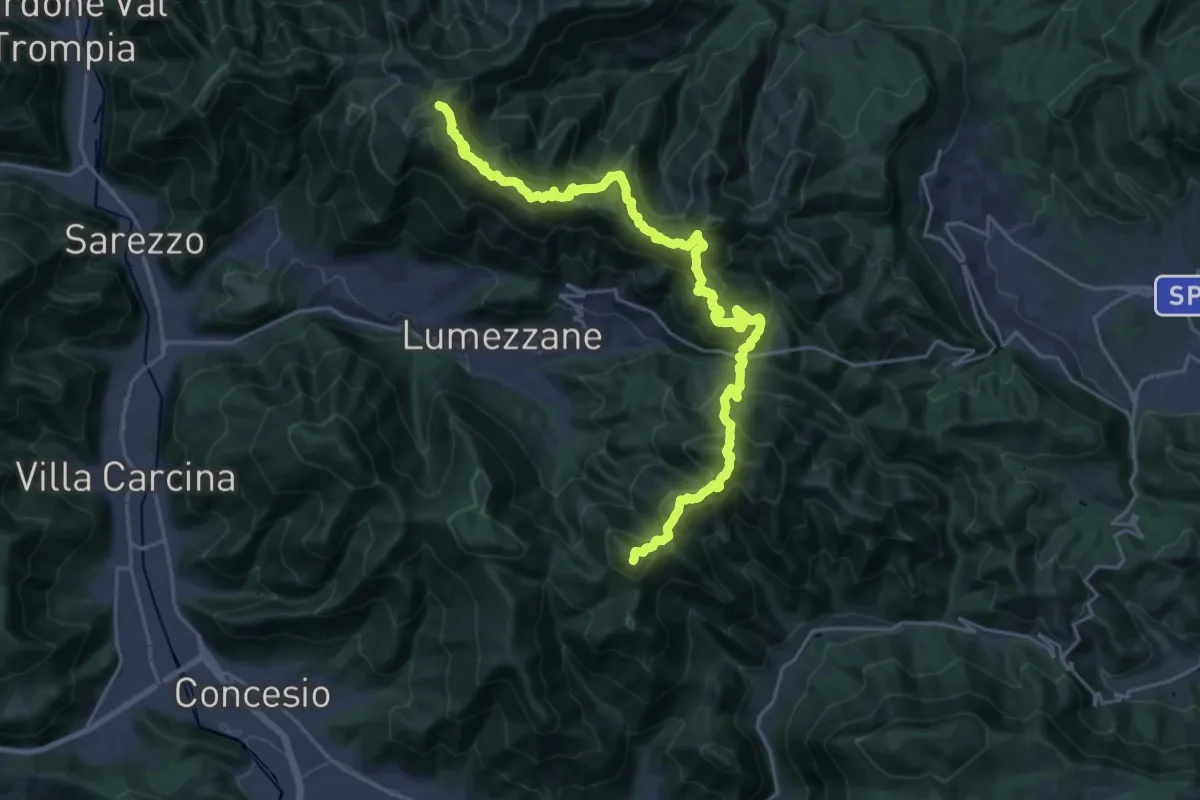
Demanding · Summit
Sentiero 3V - Tappa 2
27.2 km · ↑ 2052 m · 10 h 52 min · 10 km away
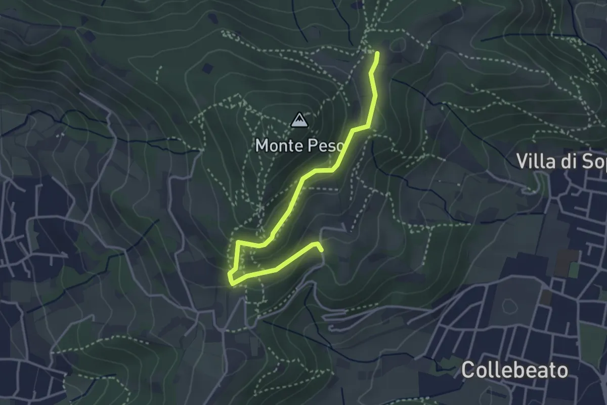
Easy · Trail
Collebeato (Campianelli di Sotto) – Ex Convento dii Santo Stefano
3.5 km · ↑ 158 m · 1 h 10 min · 10 km away
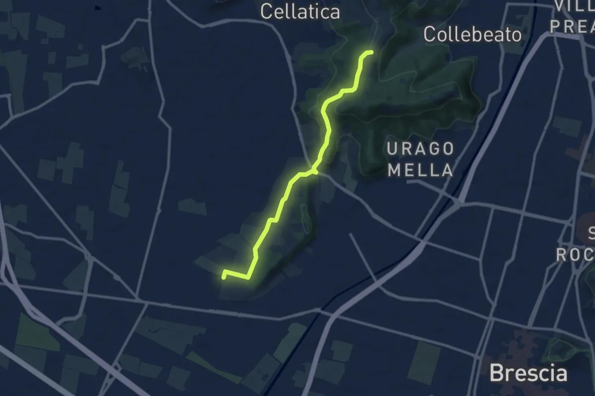
Medium · Trail
Brescia (Via del Santellone) – Campiani (Crosette, innesto sentiero 3V)
8.8 km · ↑ 209 m · 2 h 31 min · 10 km away
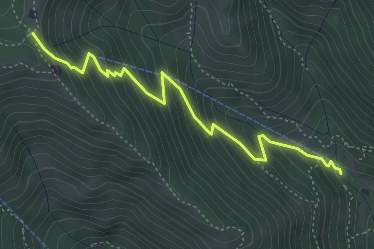
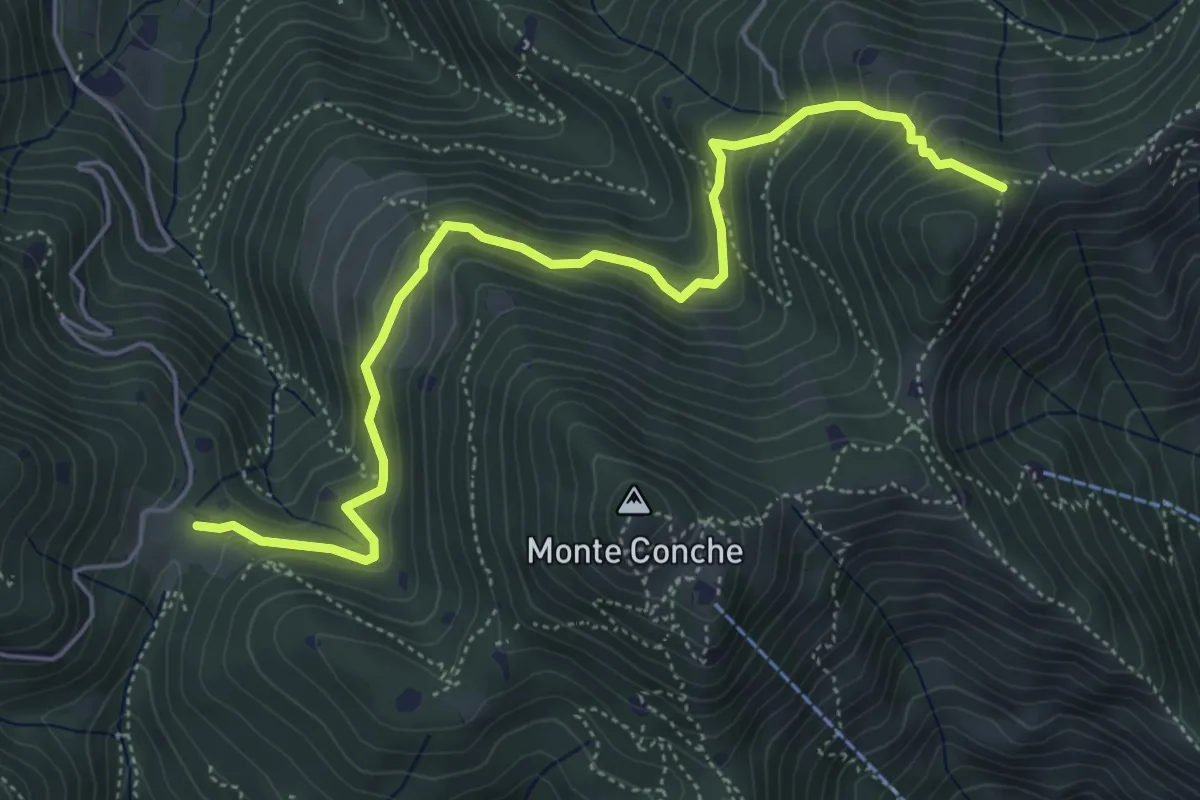
Medium · Trail
Caino (Madonna delle Fontane) – Monte Conche (Innesto Sentiero 381)
4.2 km · ↑ 450 m · 1 h 58 min · 10 km away
Medium · Trail
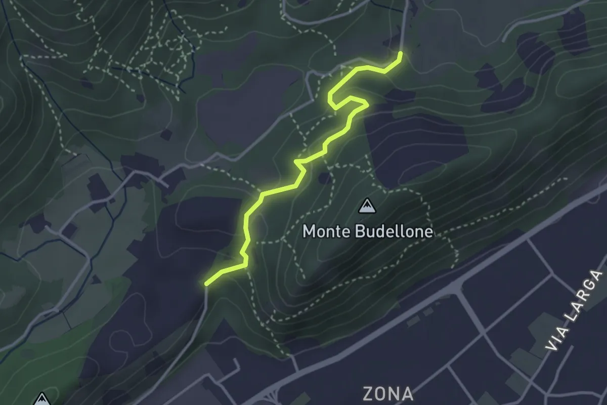
Lumezzane (Cascina Cocca) – Forcella di Calone
5.8 km · ↑ 474 m · 2 h 24 min · 10 km away
Easy · Trail
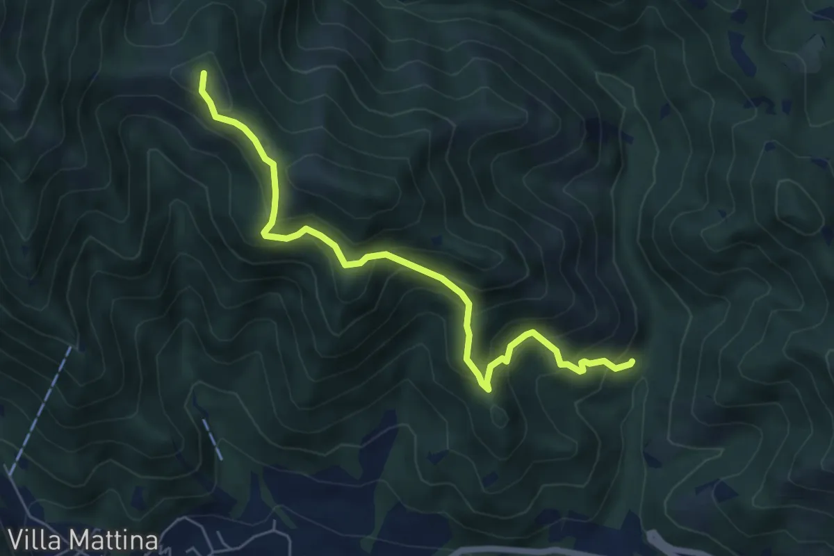
La Via del marmo - Prevalle (Buco del Frate)
3.1 km · ↑ 132 m · 1 h 1 min · 10 km away
Medium · Summit
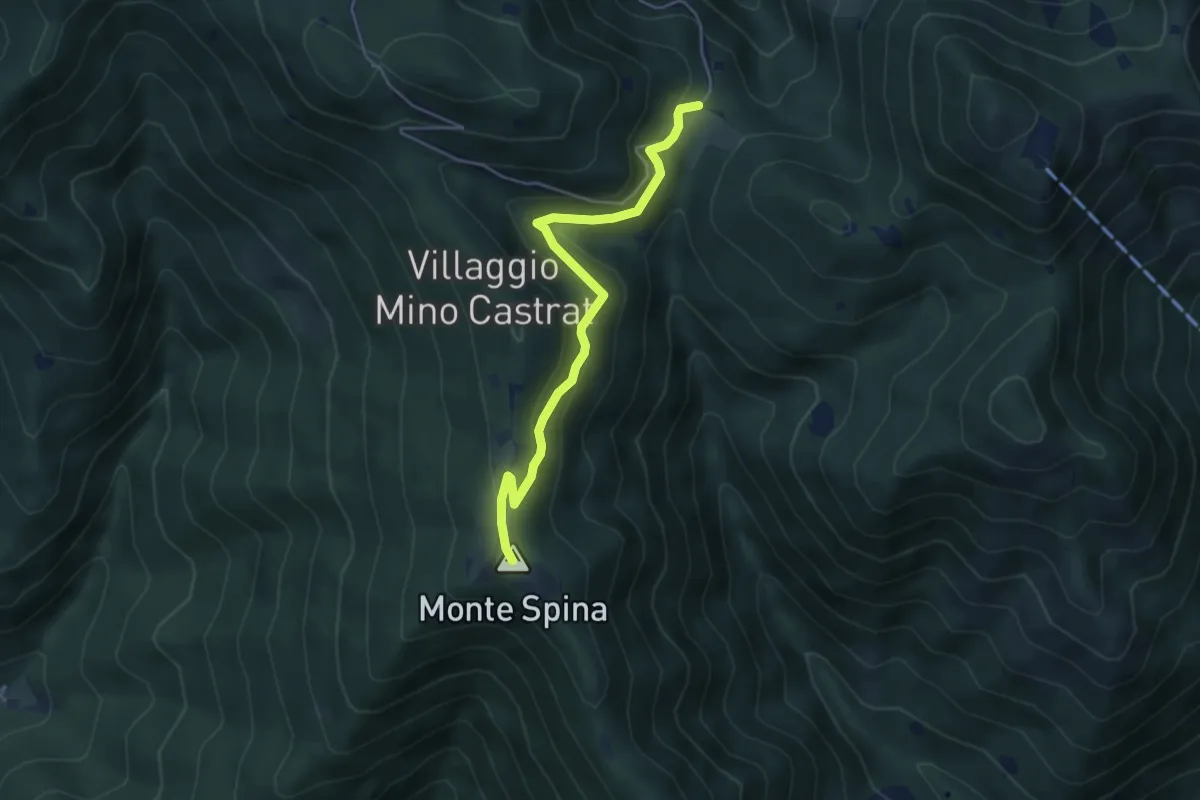
Caino (Val Bertone) – Boatica (Innesto Sentiero 381)
6.1 km · ↑ 507 m · 2 h 32 min · 10 km away
Medium · Summit
Nave (Sacca) - Cascina Cocca
4.7 km · ↑ 209 m · 1 h 33 min · 10 km away
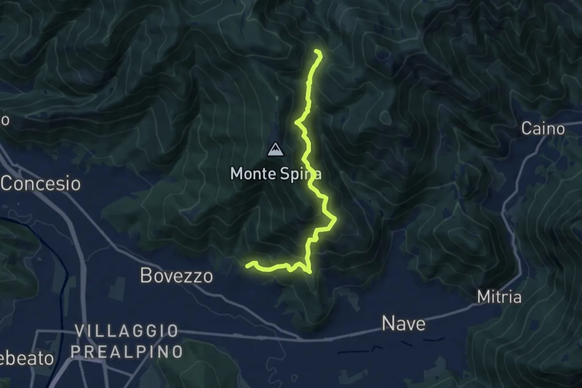
Demanding · Trail
Nave (Cortine) - Cascina Cocca
10.8 km · ↑ 913 m · 4 h 32 min · 10 km away
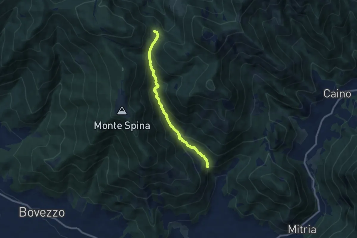
Demanding · Trail
Nave (La Corna) - Cascina Cocca
6.6 km · ↑ 417 m · 2 h 27 min · 10 km away
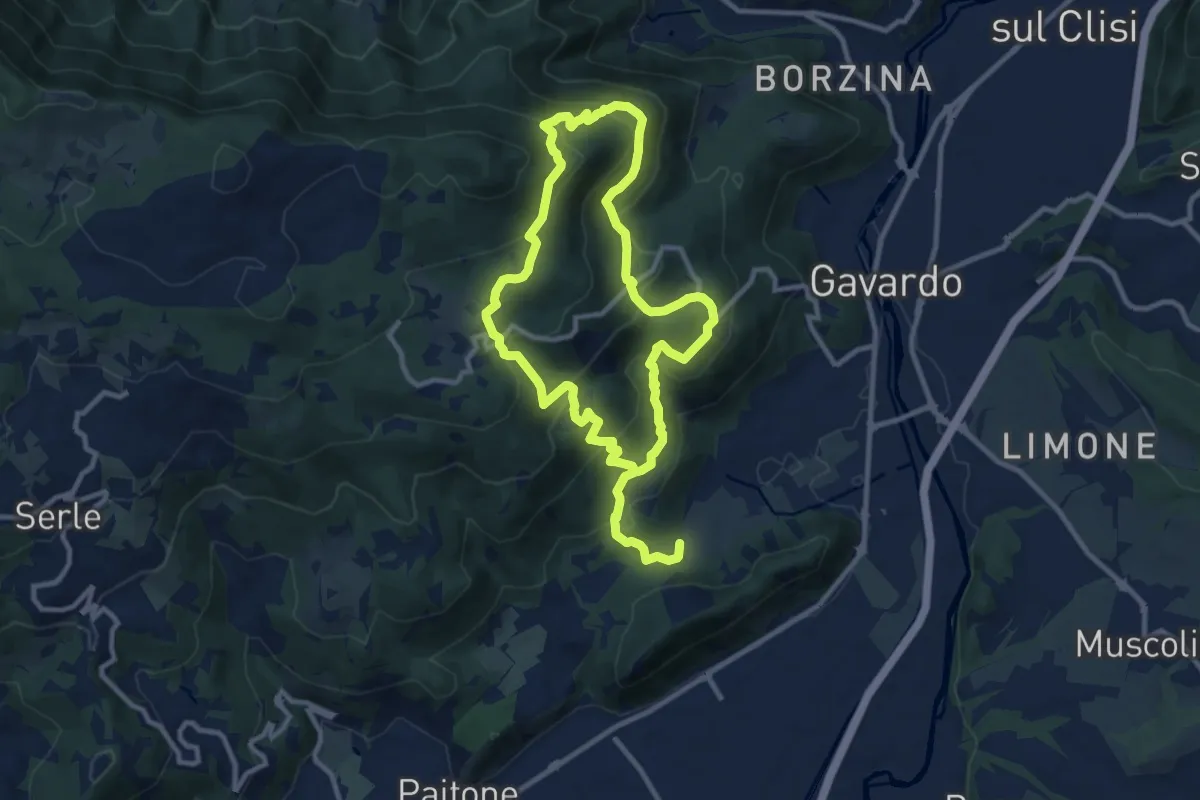
Medium · Summit
Sentiero Mario Merelli
9.5 km · ↑ 548 m · 3 h 31 min · 10 km away
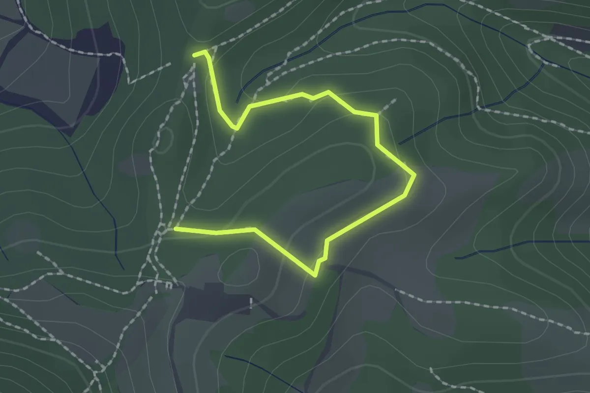
Medium · Trail
Collebeato (Roccolo Polonioli) – Sella del Madì (Innesto Sentiero 248)
2.1 km · ↑ 64 m · 38 min · 10 km away
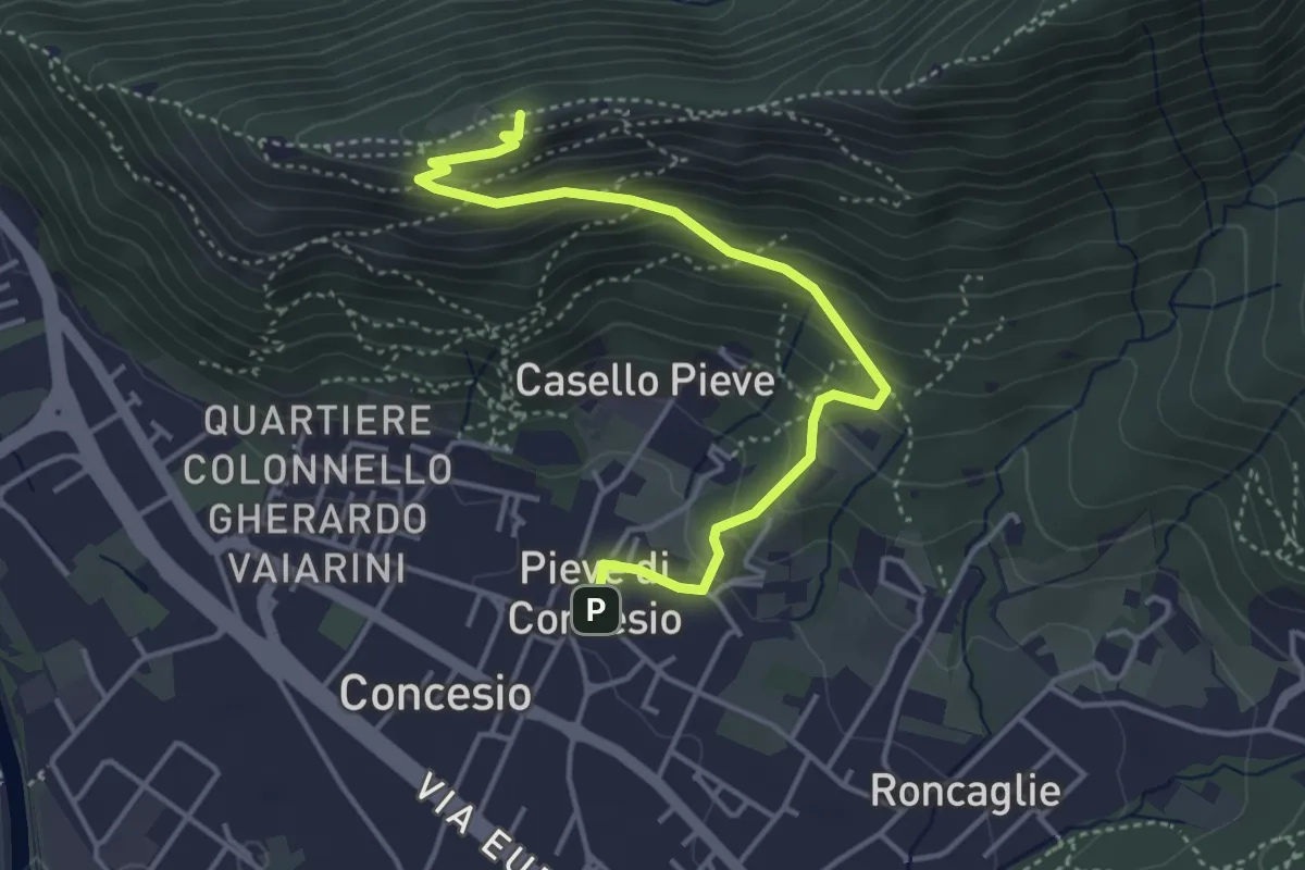
Medium · Cabin
Concesio (Pieve) – Monte Verdura
4.4 km · ↑ 333 m · 1 h 46 min · 10 km away
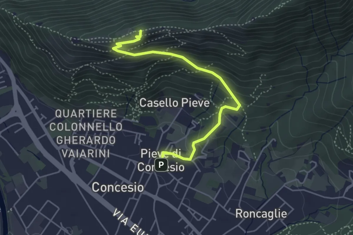
Medium · Cabin
Concesio (Pieve) - Monte Verdura
4.4 km · ↑ 333 m · 1 h 46 min · 10 km away
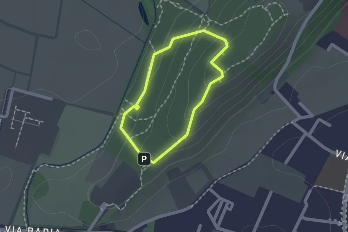
Easy · Trail
Sentiero per non vedenti (Colle di Sant'Anna)
1.1 km · ↑ 55 m · 23 min · 10 km away
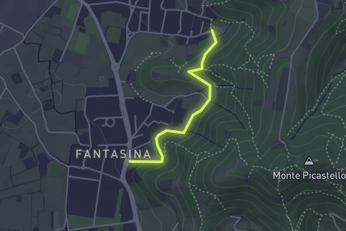
Easy · Trail
Cellatica (Fantasina) – Cellatica (Cantone)
2.9 km · ↑ 101 m · 54 min · 10 km away
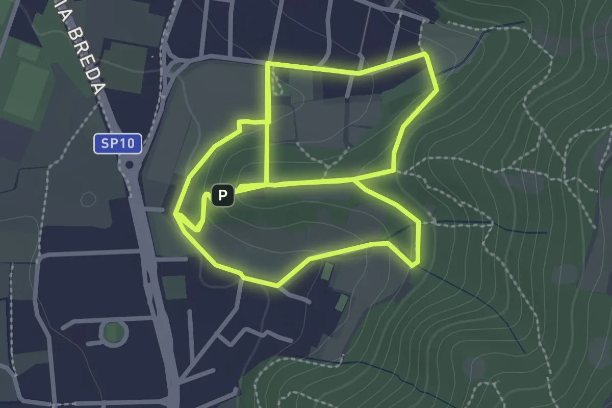
Easy · Trail
Percorso del Colle San Rocco
3.3 km · ↑ 89 m · 1 h 1 min · 10 km away
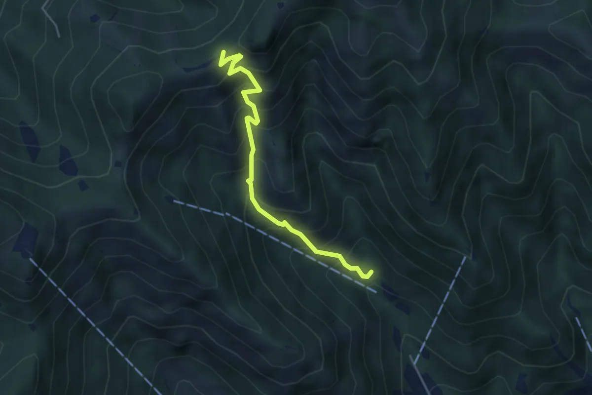
Medium · Trail
Caino (Madonna delle Fontane) – San Giorgio (Innesto Sentiero 381)
3.9 km · ↑ 503 m · 2 h 1 min · 10 km away
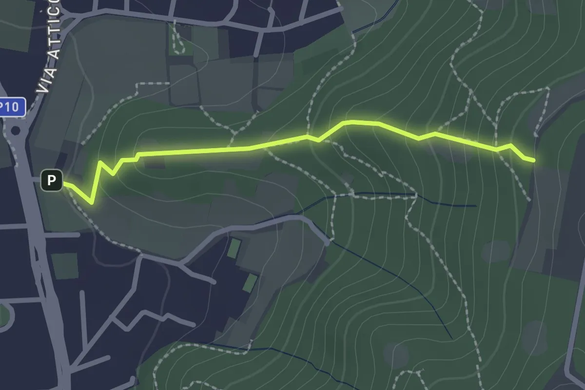
Medium · Trail
Cellatica (Via San Rocco) – Campiani (Innesto Sentiero 219)
2.1 km · ↑ 157 m · 50 min · 11 km away
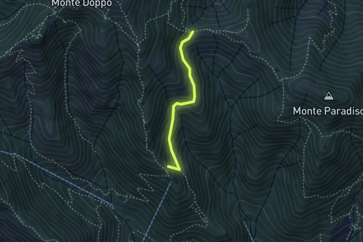
Medium · Summit
Caino (Pian delle Castagne) – Boatica (Innesto Sentiero 381)
2.6 km · ↑ 259 m · 1 h 10 min · 11 km away
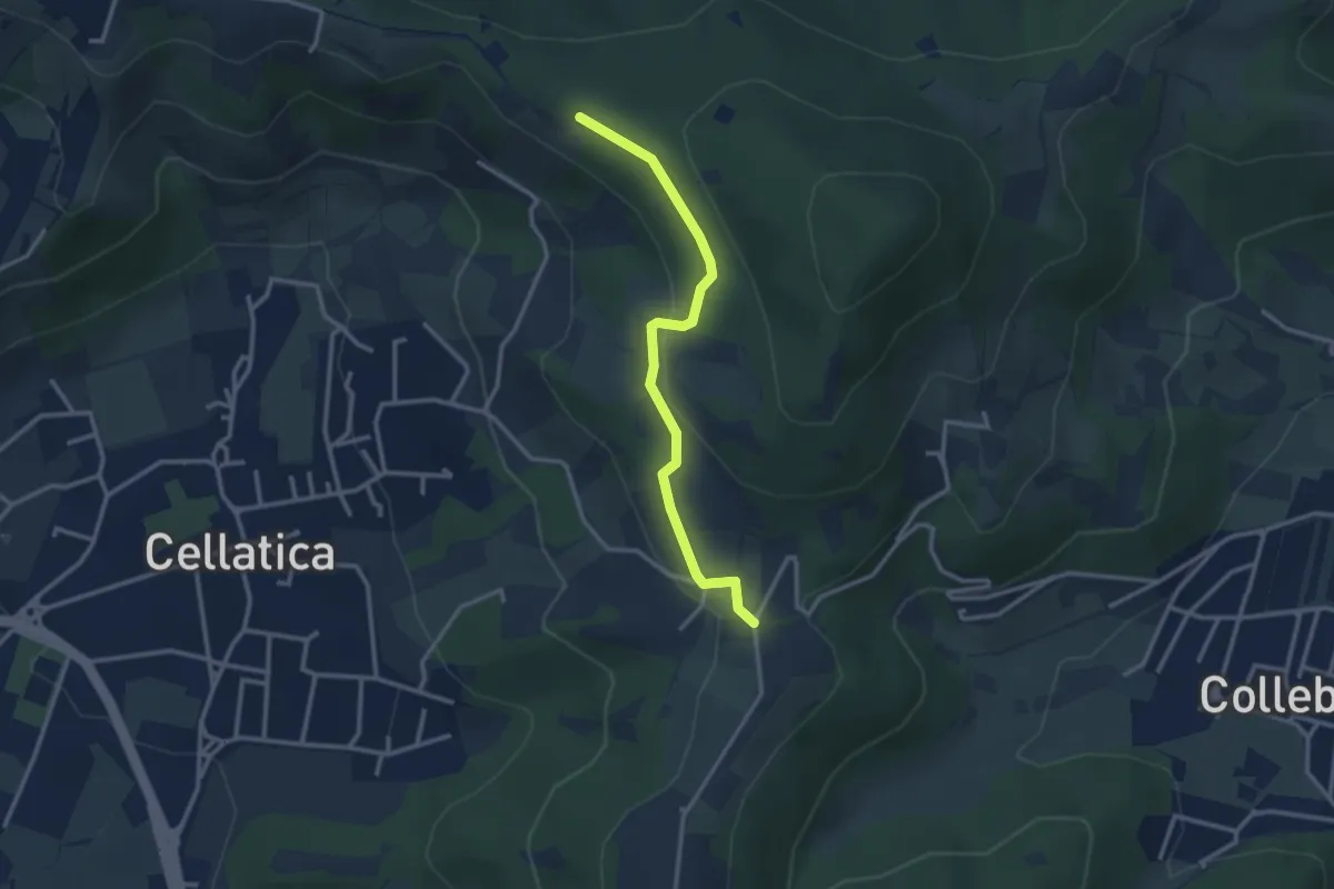
Easy · Trail
Sentiero 3V - Tappa 8 (Variante bassa)
2.9 km · ↑ 95 m · 54 min · 11 km away
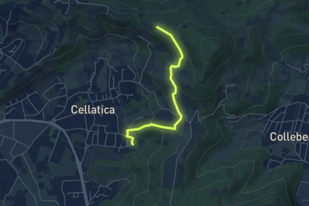
Easy · Trail
Cellatica (Cantone) – Cascina Monte Grande (Innesto Sentiero 3V)
4.5 km · ↑ 213 m · 1 h 31 min · 11 km away
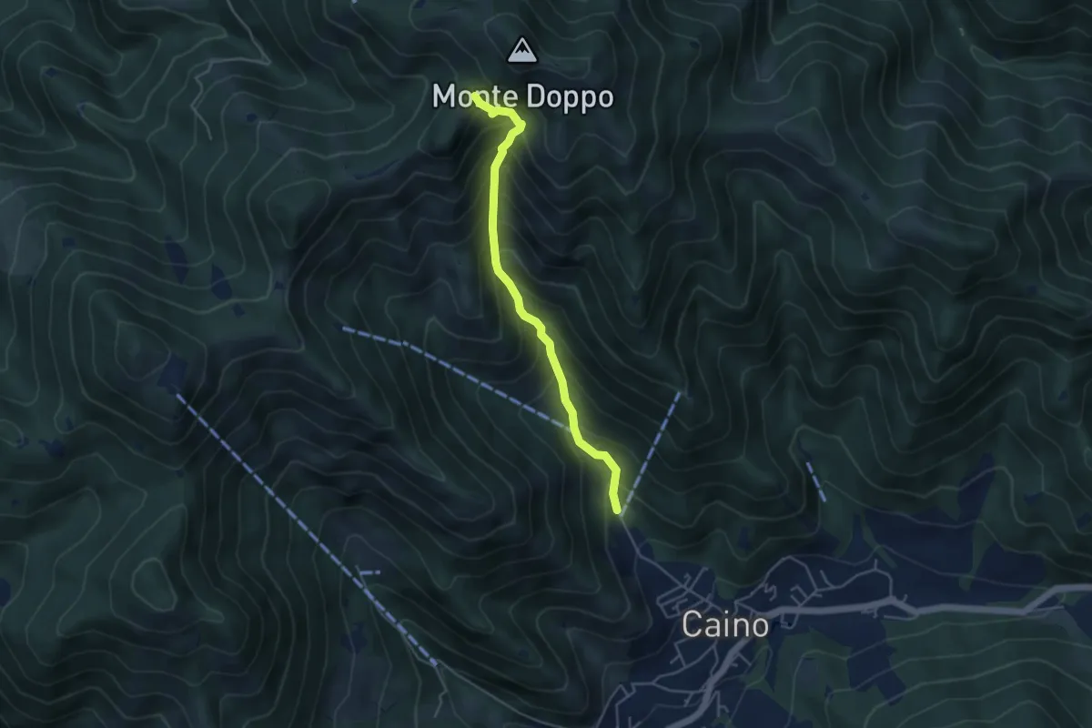
Medium · Trail
Caino (Pian delle Castagne) – Eremo di San Giorgio (Innesto Sentiero 381)
4.3 km · ↑ 584 m · 2 h 16 min · 11 km away
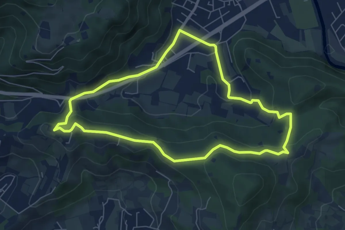
Easy · Trail
Concesio - Valsorda
6.0 km · ↑ 208 m · 1 h 57 min · 11 km away
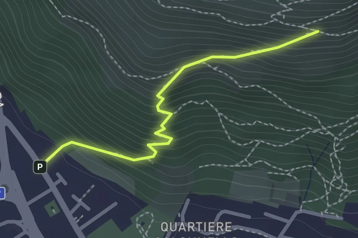
Medium · Cabin
Concesio (Vicolo Verdura) - Monte Verdura (Innesto Sentiero da Pieve)
2.1 km · ↑ 271 m · 1 h 5 min · 11 km away
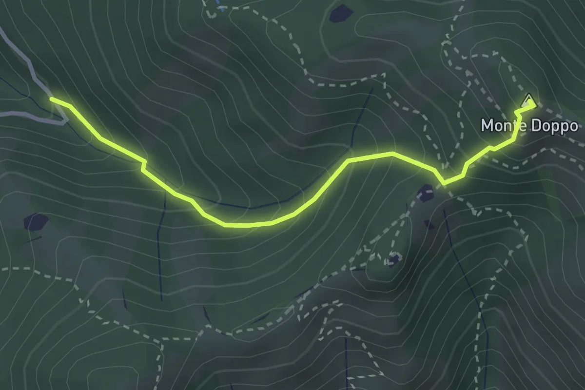
Expert · Summit
Lumezzane (Valle San Giorgio) - Monte Doppo
2.8 km · ↑ 348 m · 1 h 25 min · 11 km away
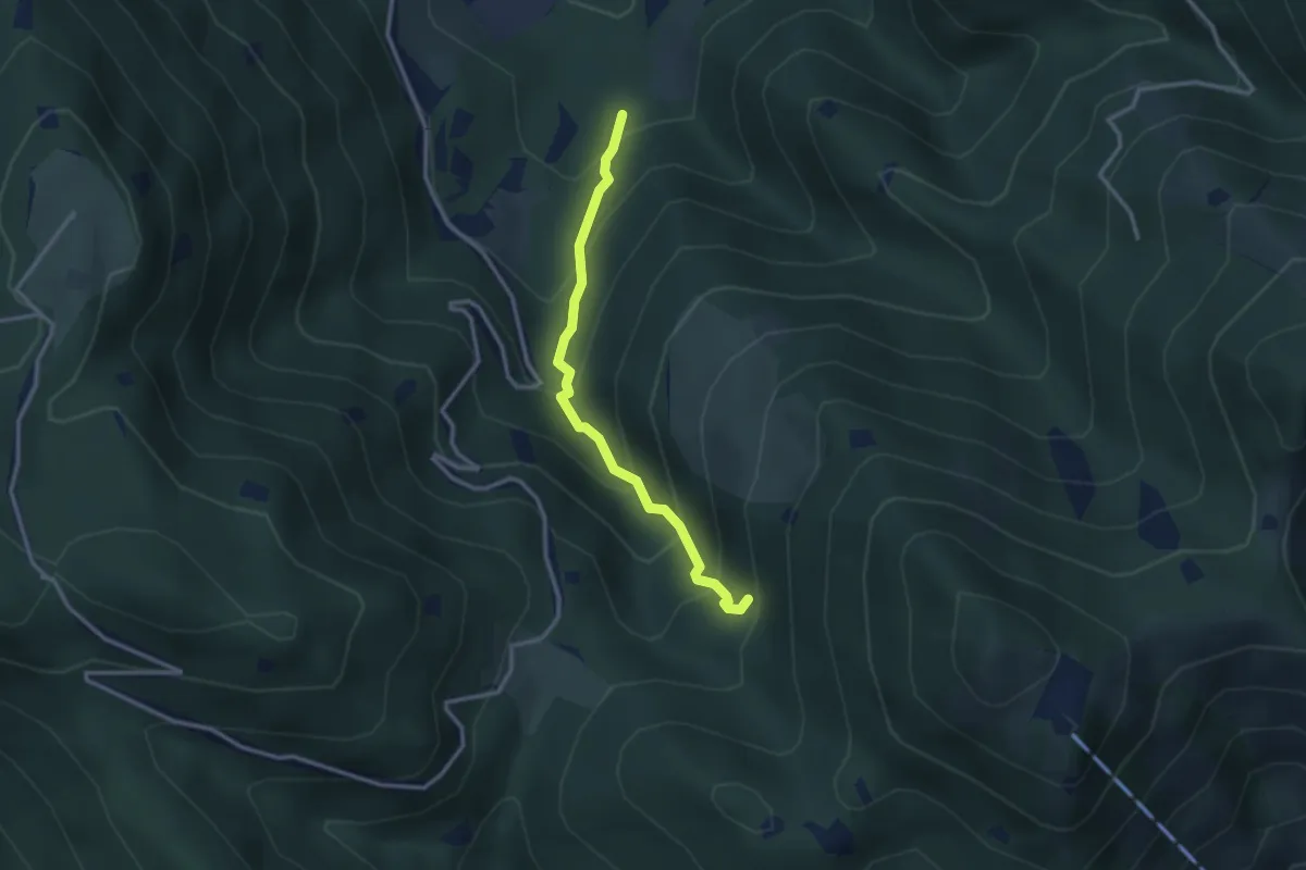
Medium · Trail
Lumezzane (Innesto Sentiero 374) - Fontanì de A'bie - Innesto Sentiero 375
2.7 km · ↑ 300 m · 1 h 18 min · 11 km away
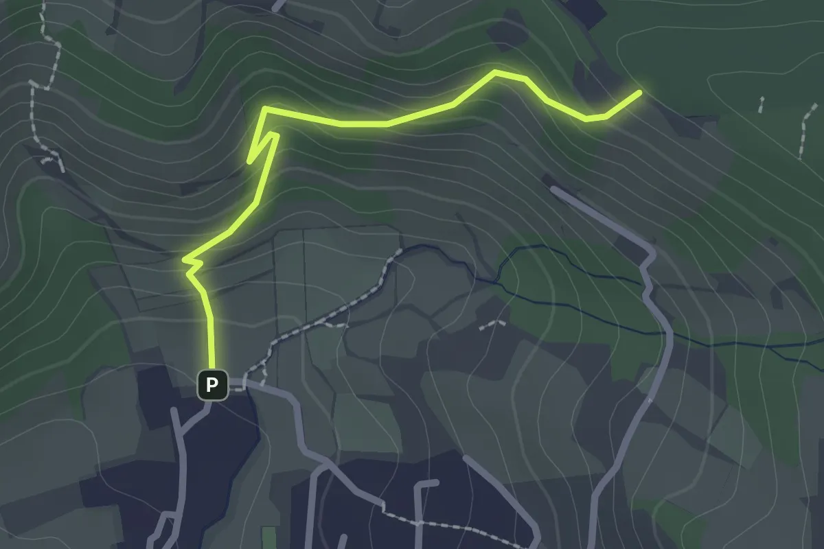
Easy · Trail
Cellatica (Palas) – Cascina Monte Grande (Innesto Sentiero 3V)
2.1 km · ↑ 186 m · 55 min · 11 km away
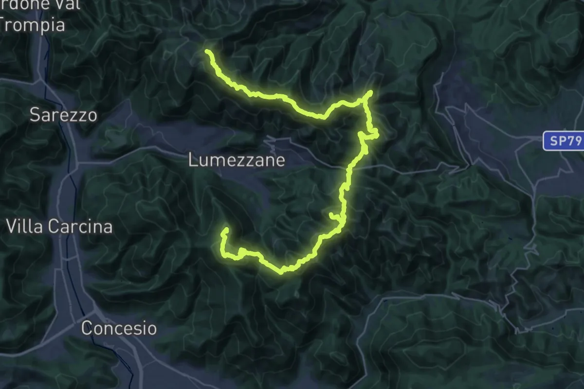
Expert · Summit
Via del Sacro
42.2 km · ↑ 2976 m · 16 h 24 min · 11 km away
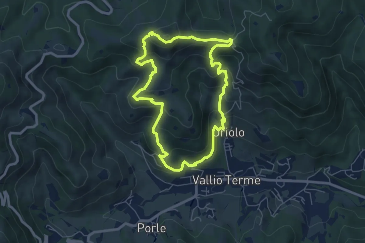
Medium · Summit
Vallio Terme (Vigle) - Rocca di Bernacco - Oriolo
5.2 km · ↑ 400 m · 2 h 11 min · 11 km away
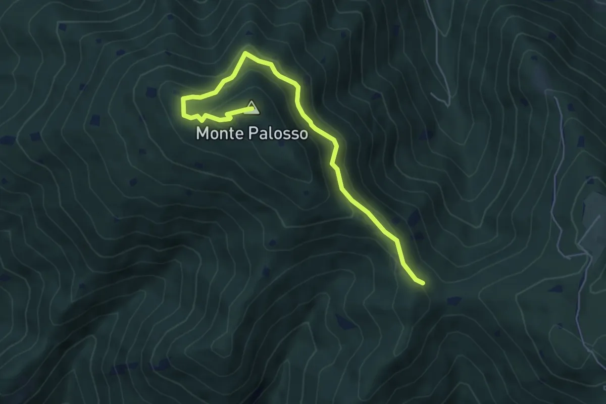
Medium · Summit
Sentiero Gnutti Cirillo
5.8 km · ↑ 302 m · 2 h 2 min · 11 km away
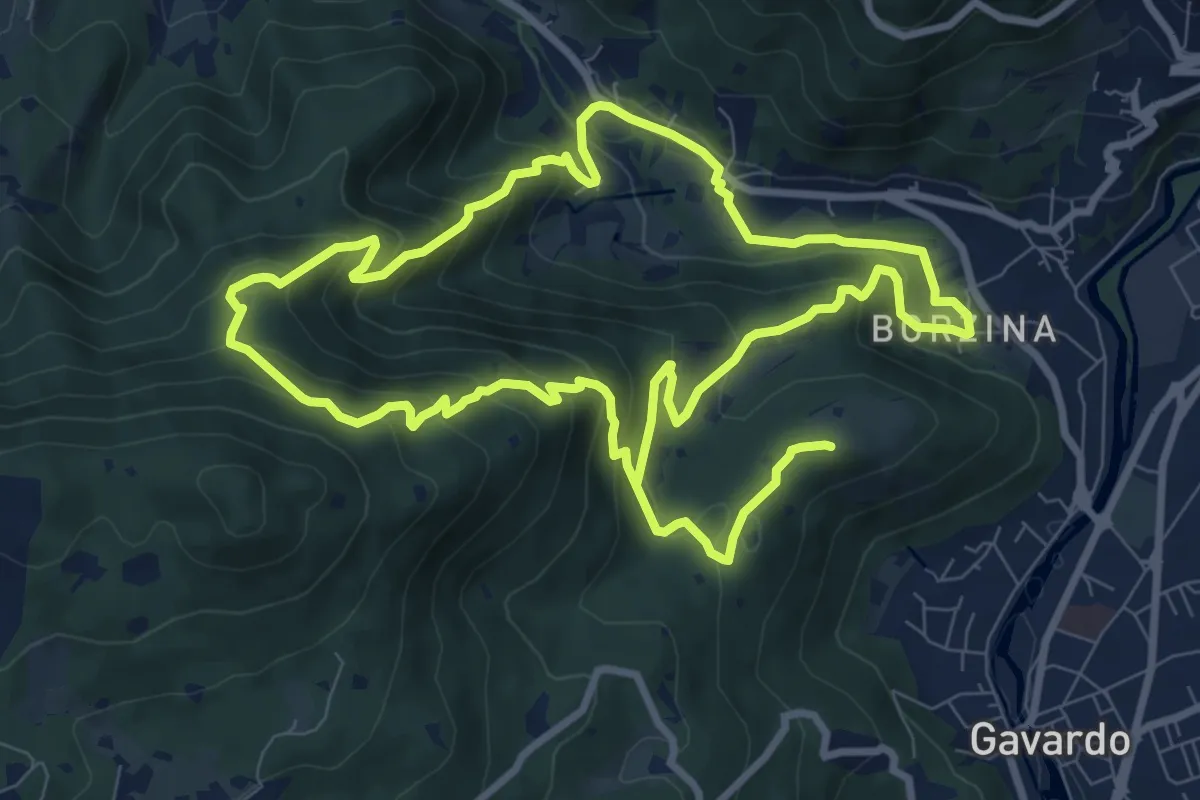
Demanding · Summit
Gavardo (Via Signurì) – Gavardo
18.2 km · ↑ 1056 m · 6 h 35 min · 11 km away
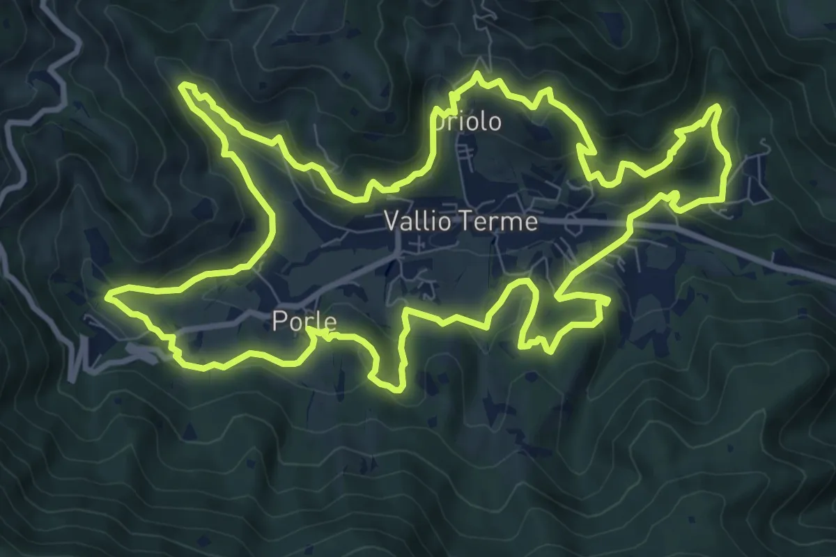
Medium · Trail
Giro delle contrade
11.6 km · ↑ 525 m · 4 h 2 min · 11 km away
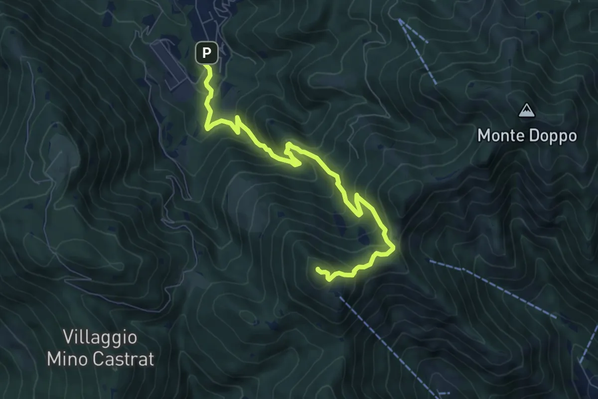
Medium · Summit
Lumezzane (Via Ruca) – Cascina Cocca
8.4 km · ↑ 670 m · 3 h 26 min · 12 km away
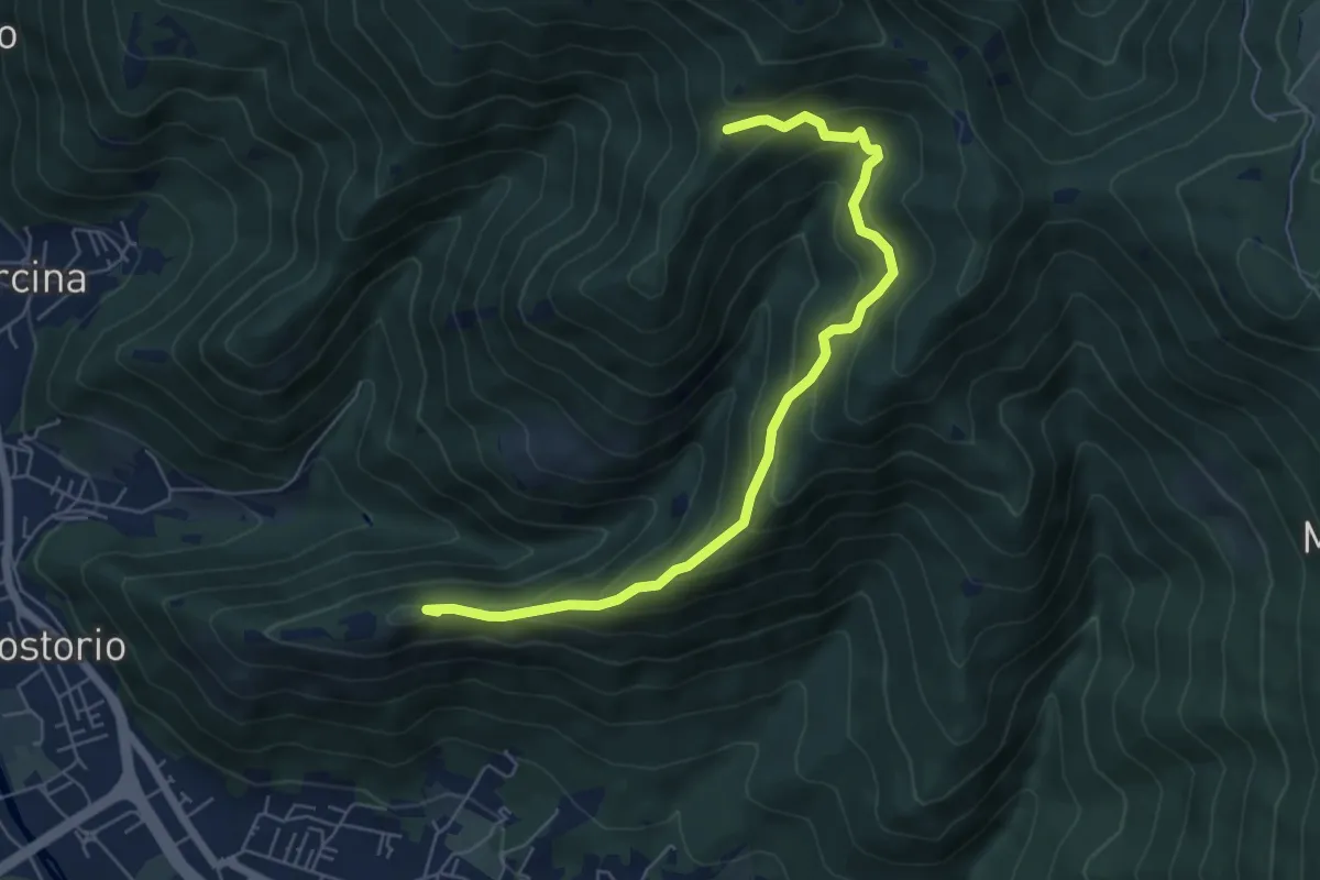
Medium · Summit
Concesio (Costorio) – Tesa del Condigolo (Innesto sentiero 378)
6.4 km · ↑ 468 m · 2 h 32 min · 12 km away
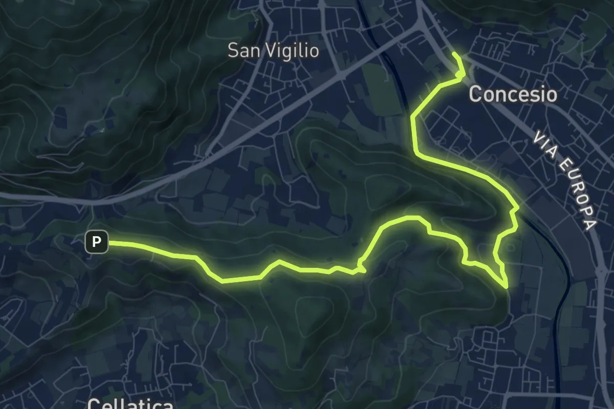
Medium · Trail
Sentiero Pietro Ottaviani
12.8 km · ↑ 333 m · 3 h 44 min · 12 km away
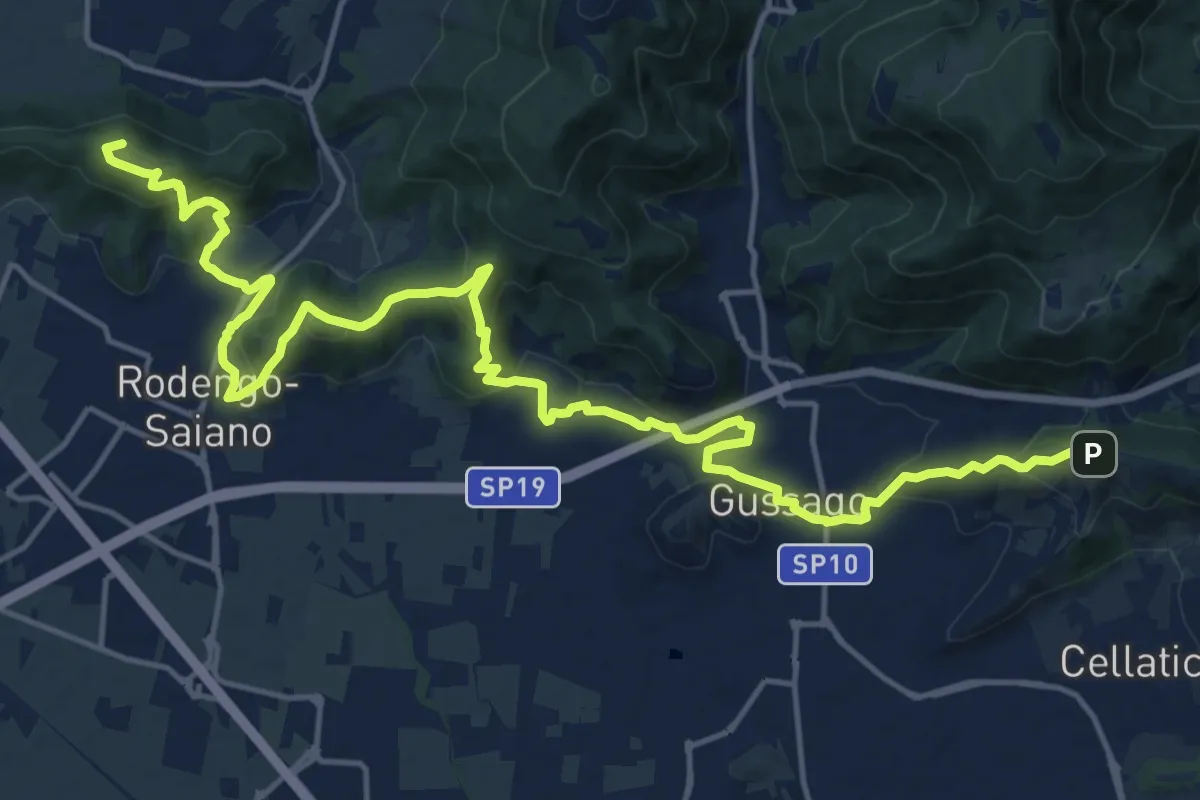
Demanding · Summit
Sentiero della Franciacorta
21.9 km · ↑ 913 m · 7 h 9 min · 12 km away
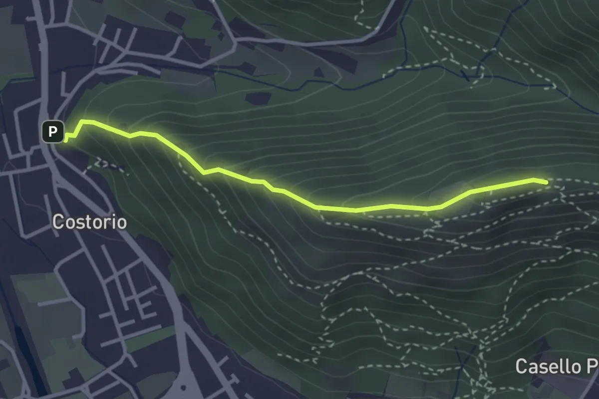
Medium · Summit
Concesio (Costorio) - Grassi Carpini
3.0 km · ↑ 329 m · 1 h 25 min · 12 km away
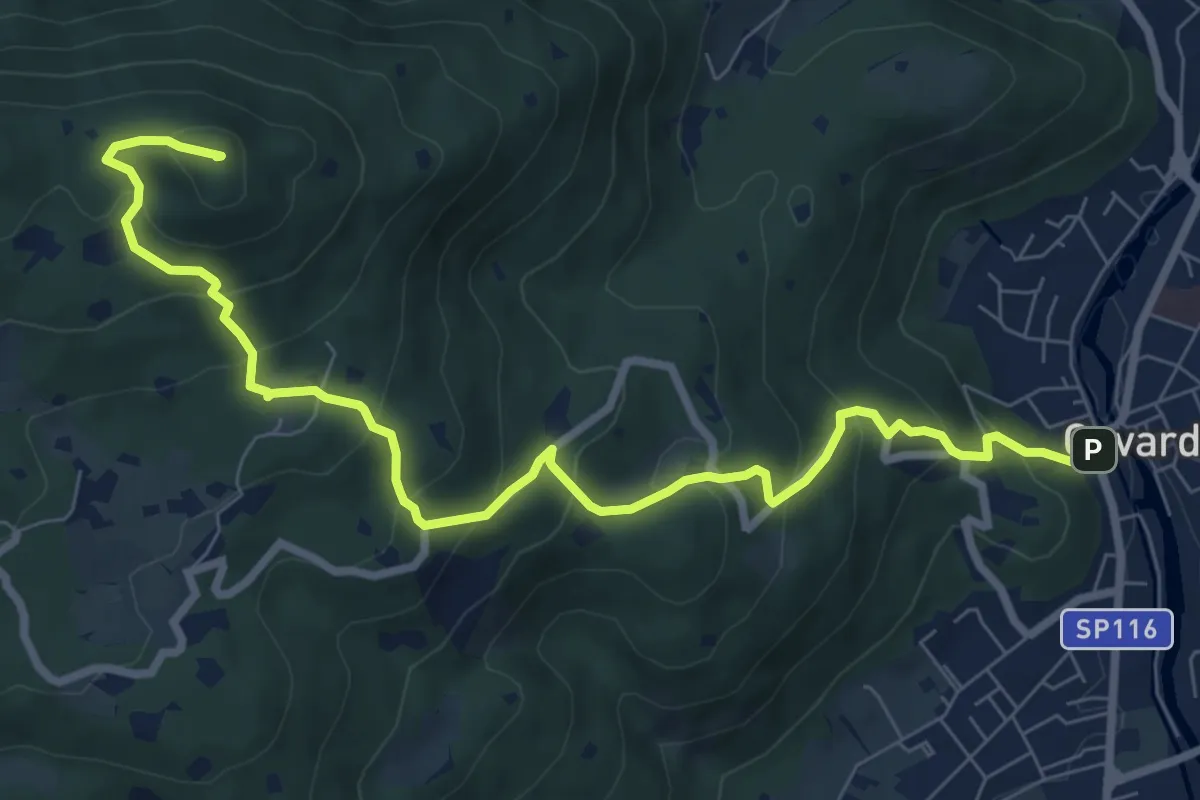
Medium · Summit
Gavardo – Tesio
9.4 km · ↑ 655 m · 3 h 38 min · 12 km away
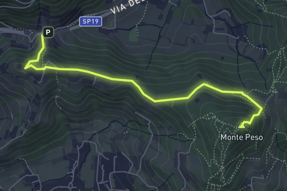
Medium · Summit
Sentiero 3V - Tappa 8b
6.0 km · ↑ 266 m · 1 h 59 min · 12 km away
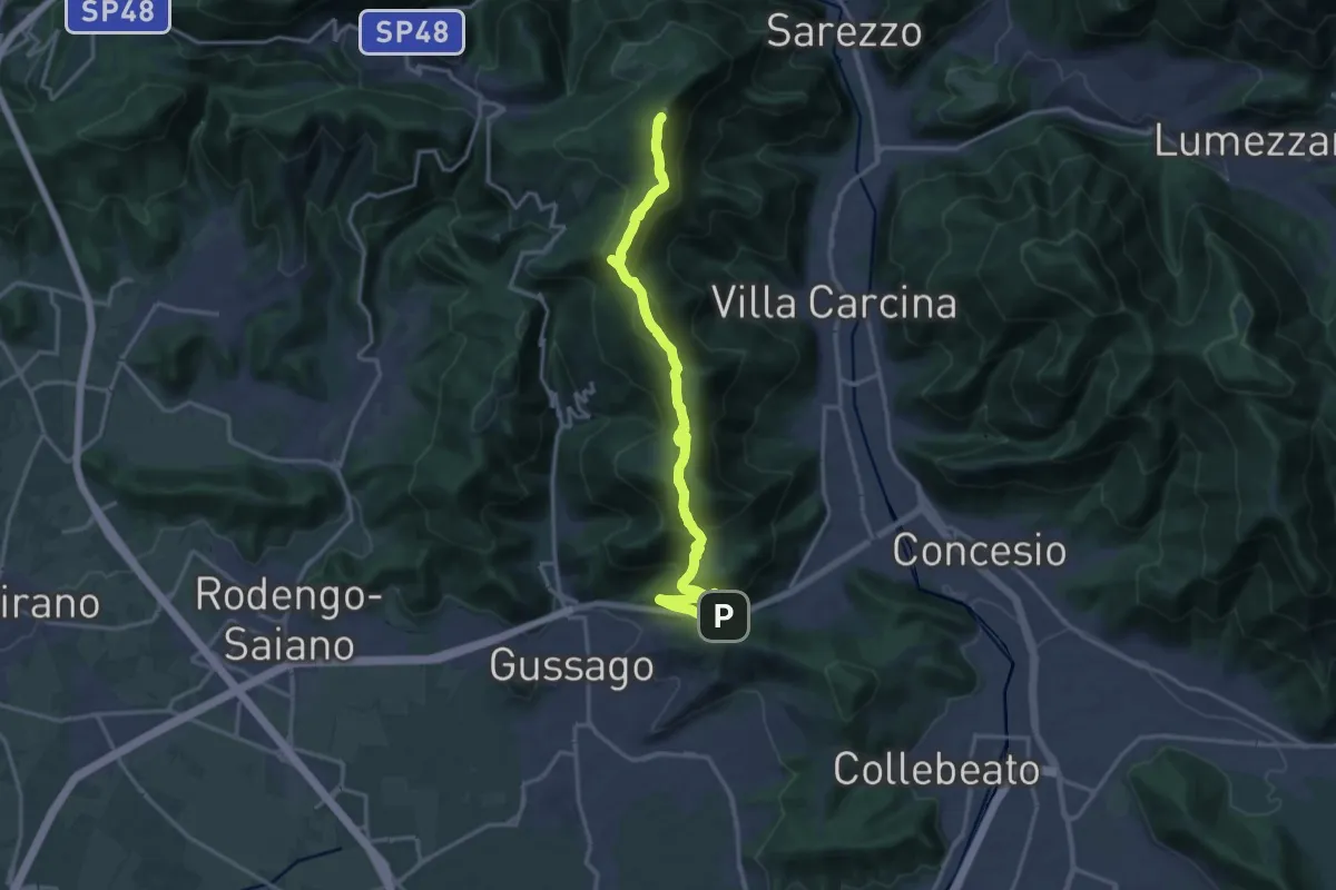
Demanding · Summit
Sentiero 3V - Tappa 8a
18.2 km · ↑ 1158 m · 6 h 48 min · 12 km away
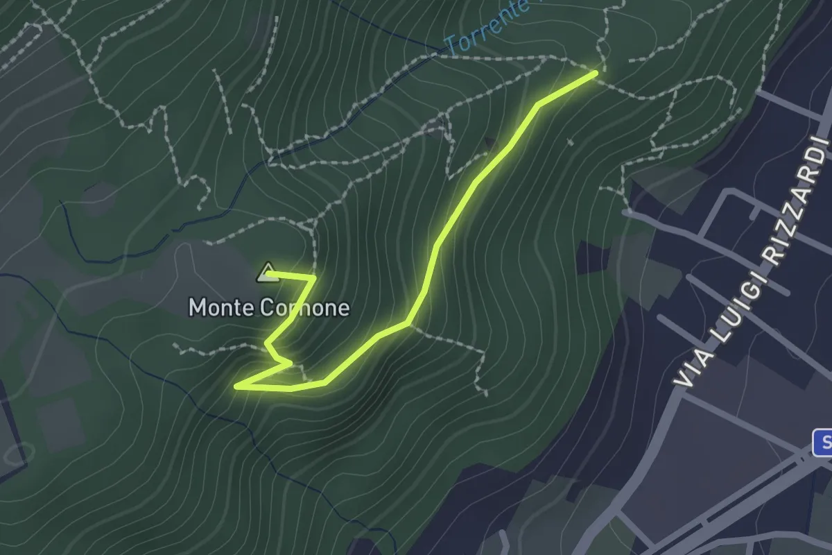
Demanding · Summit
Sentiero D - Variante Monte Cornone
2.1 km · ↑ 170 m · 52 min · 12 km away
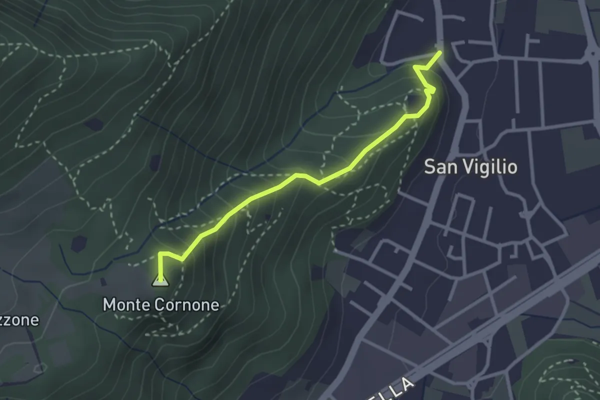
Medium · Summit
Concesio (San Vigilio) - Quarone di Sopra
2.6 km · ↑ 259 m · 1 h 11 min · 12 km away
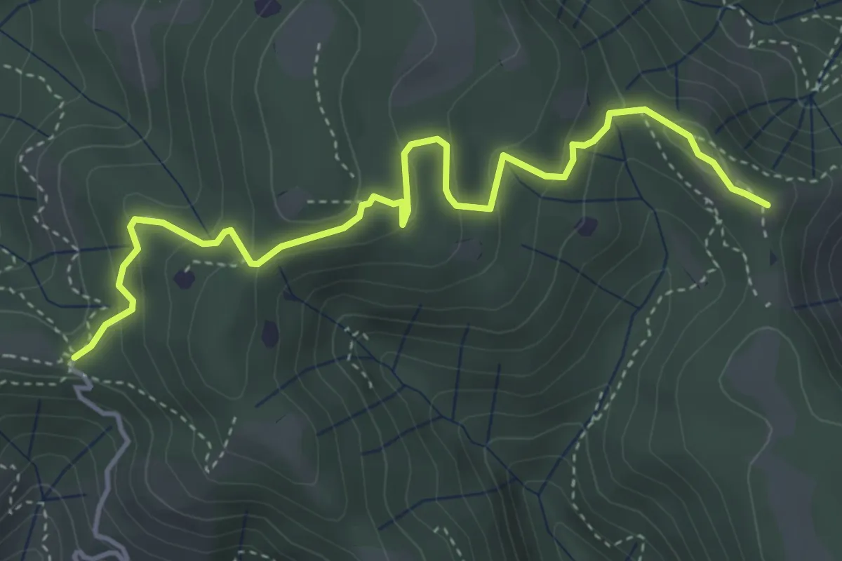
Easy · Summit
Vallio Terme (Barcolo) - Gavardo (Osteria Monte Magno)
4.7 km · ↑ 206 m · 1 h 33 min · 12 km away
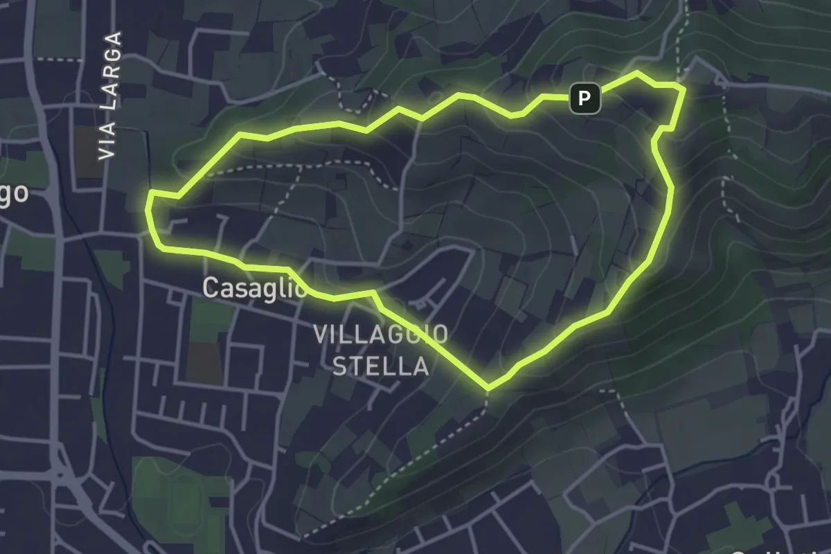
Easy · Trail
Via Crucis - San Rocco - Stella
3.7 km · ↑ 201 m · 1 h 21 min · 12 km away
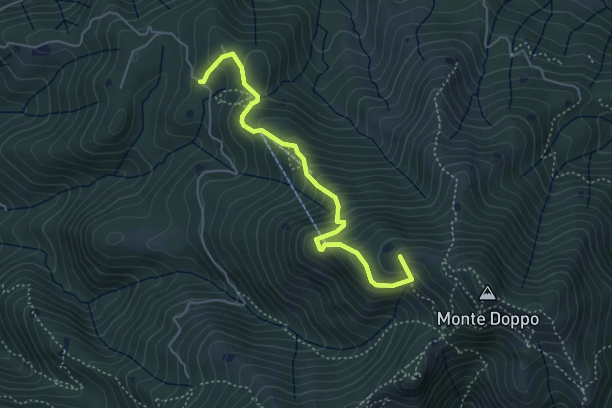
Medium · Summit
Lumezzane (Burio) - Bivio per San Giorgio
4.2 km · ↑ 376 m · 1 h 48 min · 12 km away
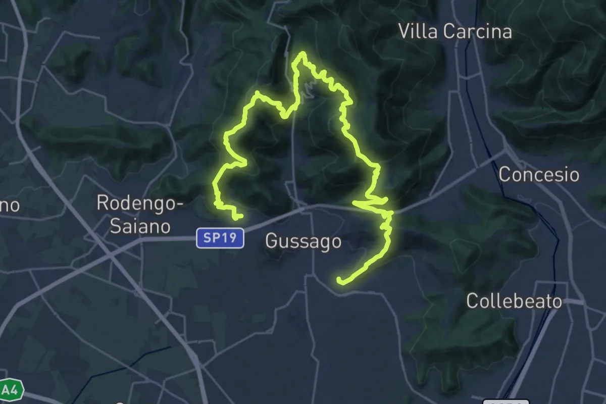
Demanding · Summit
Giro delle Colline
16.7 km · ↑ 1170 m · 6 h 43 min · 12 km away
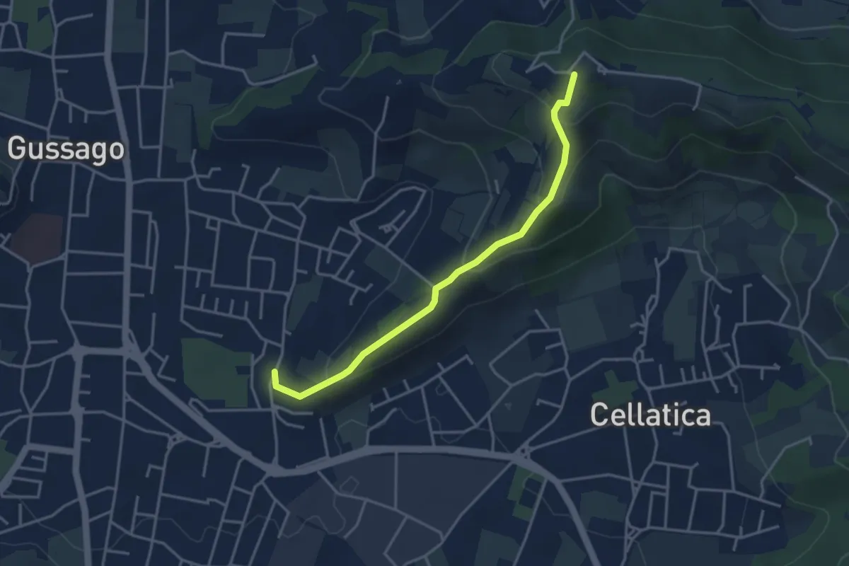
Easy · Trail
Cellatica (Casaglio) – Santuario della Stella
3.6 km · ↑ 213 m · 1 h 19 min · 12 km away