Trails near Botticino
210 hikes starting within 15 km, nearest first.
Nearest first, page 4 of 5
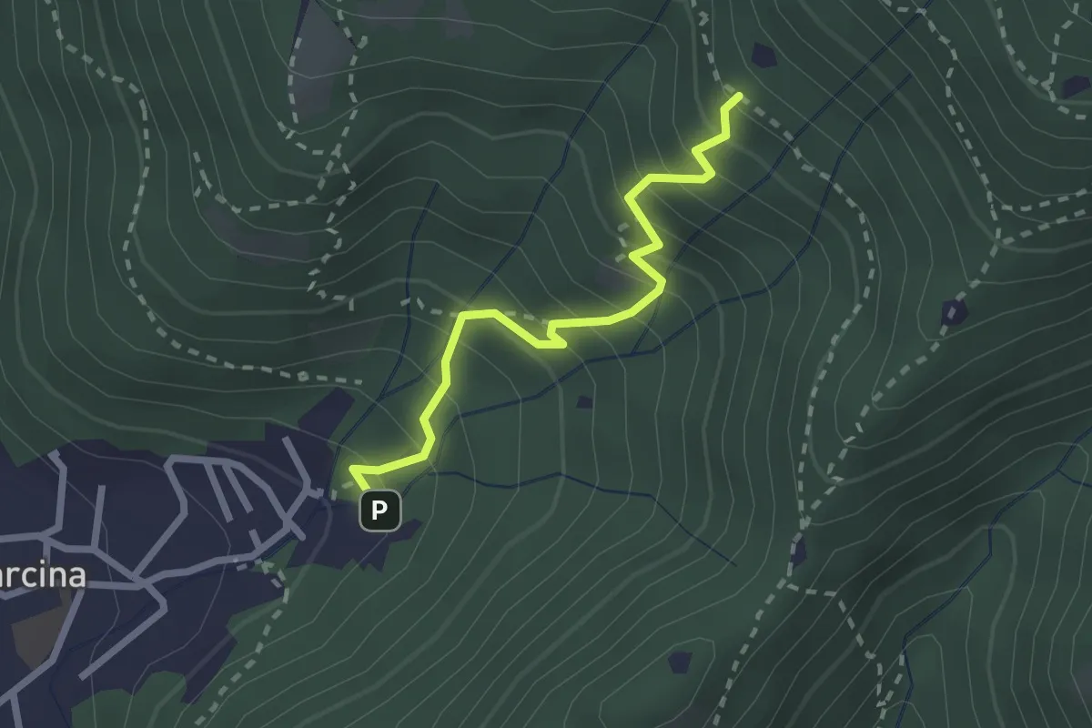
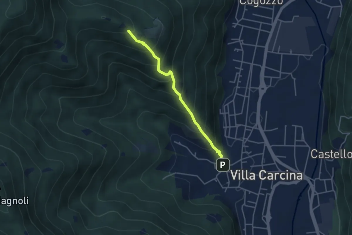
Medium · Trail
Villa Carcina - Sentiero 22
2.3 km · ↑ 303 m · 1 h 12 min · 12 km away
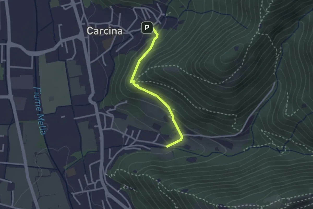
Easy · Trail
Villa Carcina (Carcina) - Costorio
2.2 km · ↑ 126 m · 48 min · 12 km away
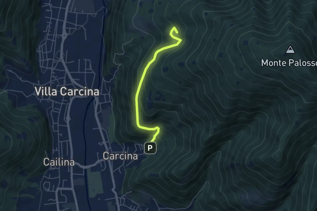
Medium · Summit
Villa Carcina - Sentiero 17
4.5 km · ↑ 395 m · 1 h 56 min · 12 km away
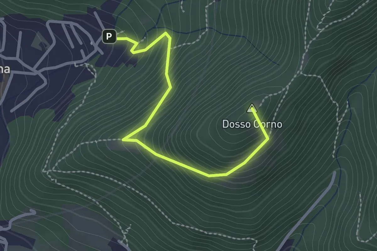
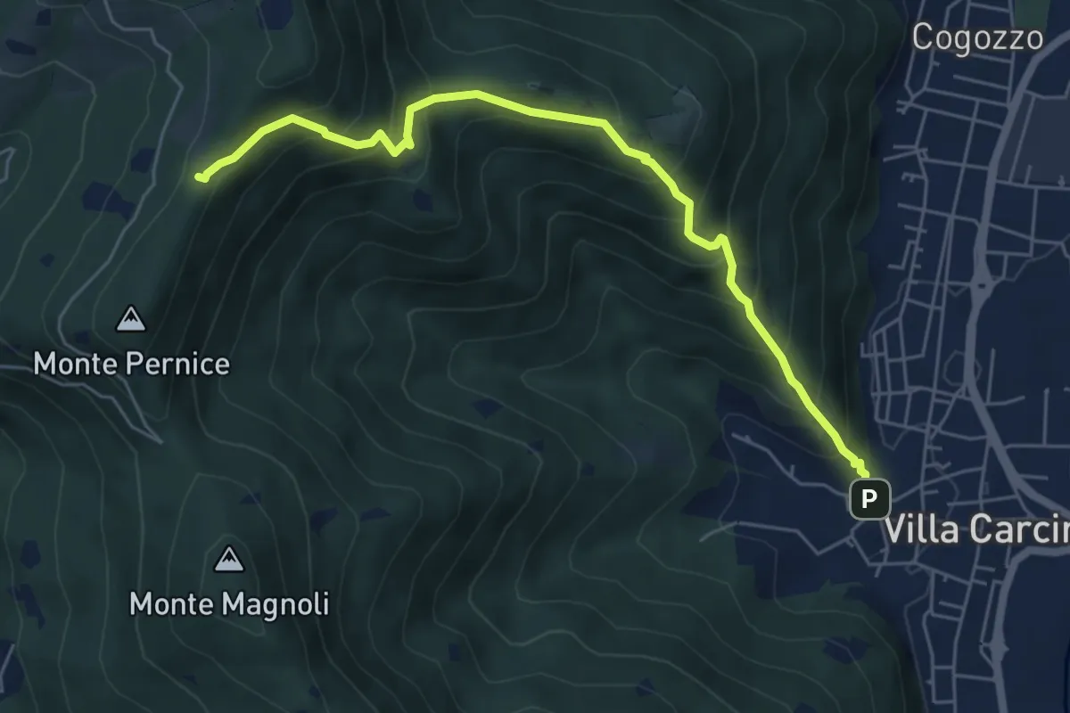
Medium · Summit
Villa Carcina (Caricatore) – Crusal
2.7 km · ↑ 292 m · 1 h 16 min · 12 km away
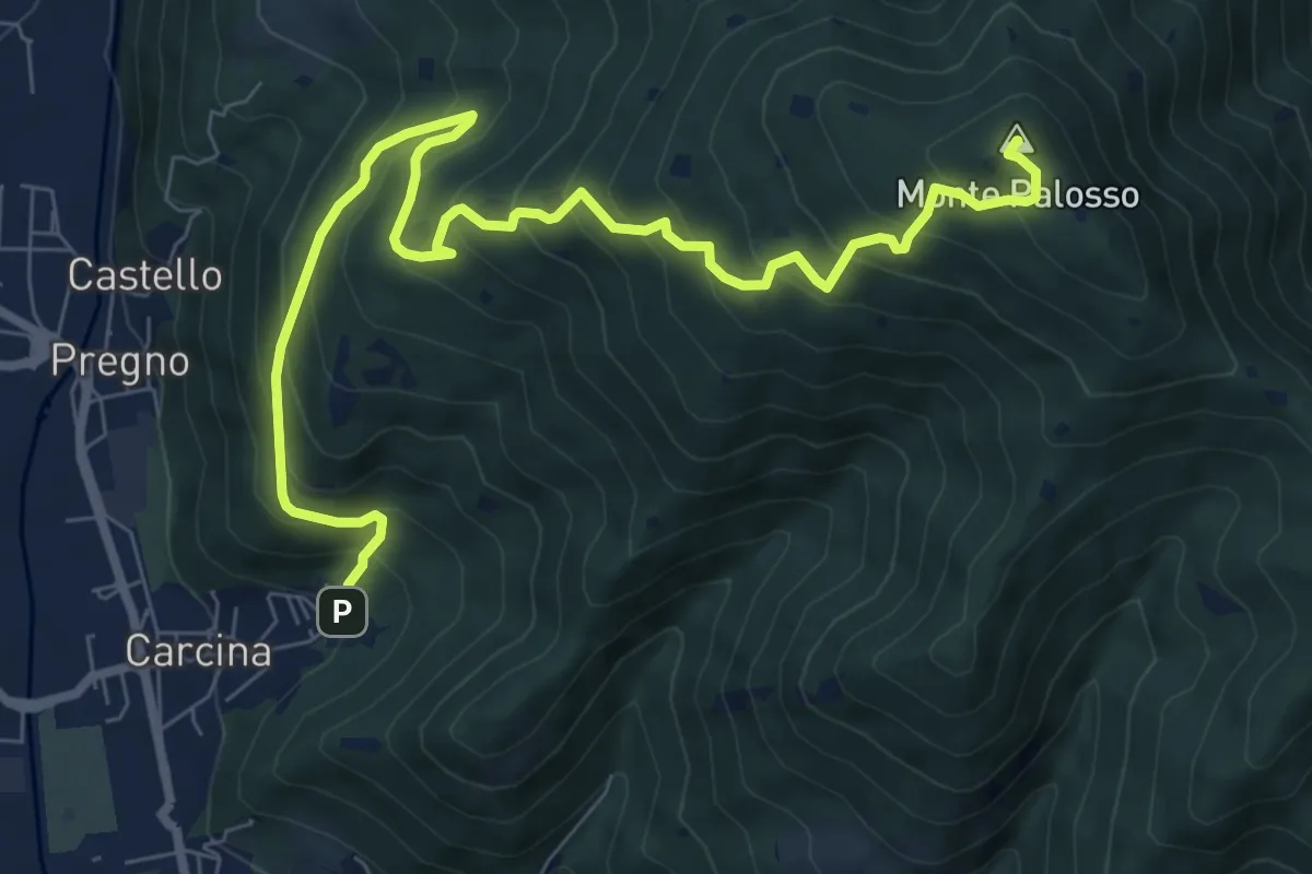
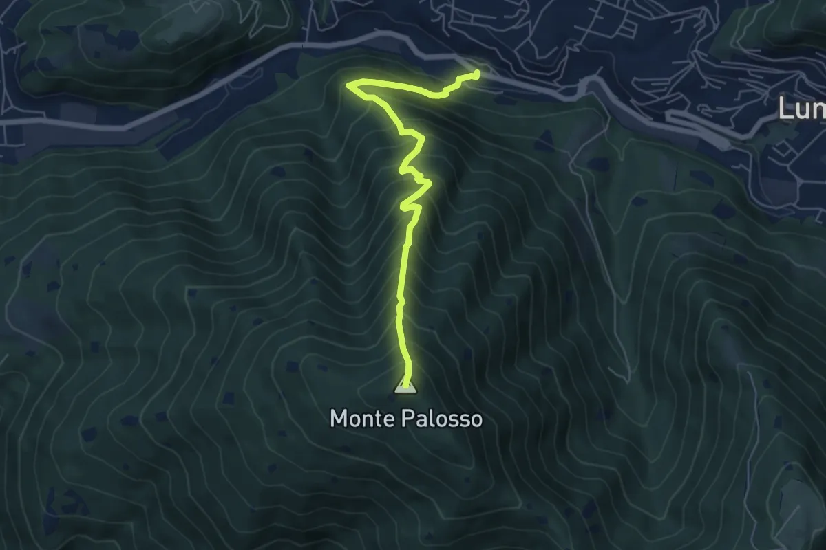
Demanding · Summit
Villa Carcina (Caricatore) – Monte Palosso
9.9 km · ↑ 908 m · 4 h 18 min · 12 km away
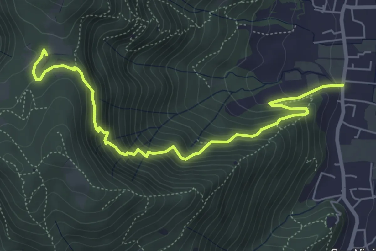
Medium · Trail
Concesio (Via Mandò) - Quarone di Sopra
6.2 km · ↑ 571 m · 2 h 42 min · 12 km away
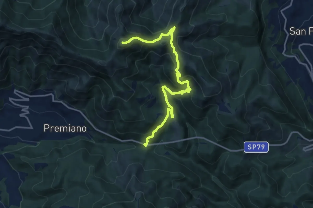
Demanding · Summit
Lumezzane (Passo del Cavallo) – Punta Camoghera
10.5 km · ↑ 734 m · 4 h 4 min · 12 km away
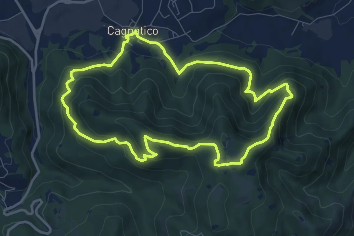
Medium · Summit
Odolo (Cagnatico) – Cagnatico
7.1 km · ↑ 405 m · 2 h 40 min · 12 km away
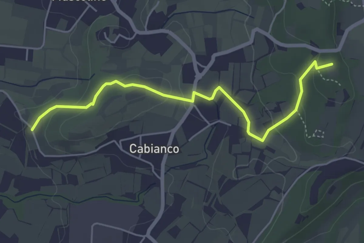
Easy · Summit
Percorso Muscoline Blu1
4.8 km · ↑ 103 m · 1 h 22 min · 12 km away
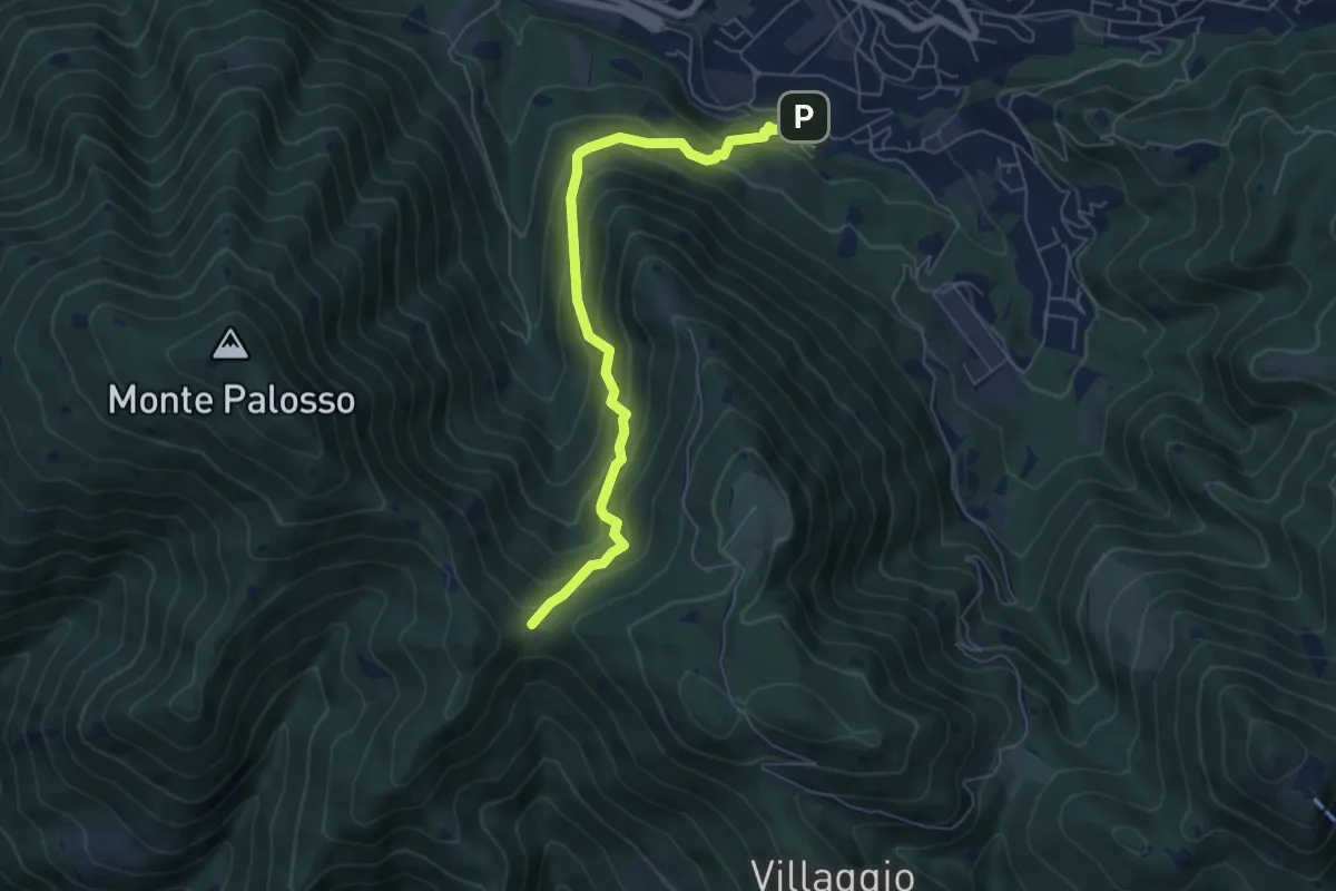
Medium · Trail
Lumezzane (Faidana) - Innesto Sentiero 371
6.4 km · ↑ 552 m · 2 h 43 min · 13 km away
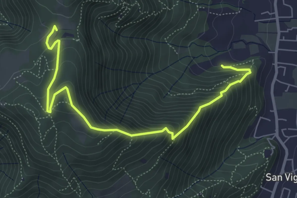
Medium · Trail
Concesio (Via Mandò) - Costa - Quarone di Sopra
6.6 km · ↑ 592 m · 2 h 50 min · 13 km away
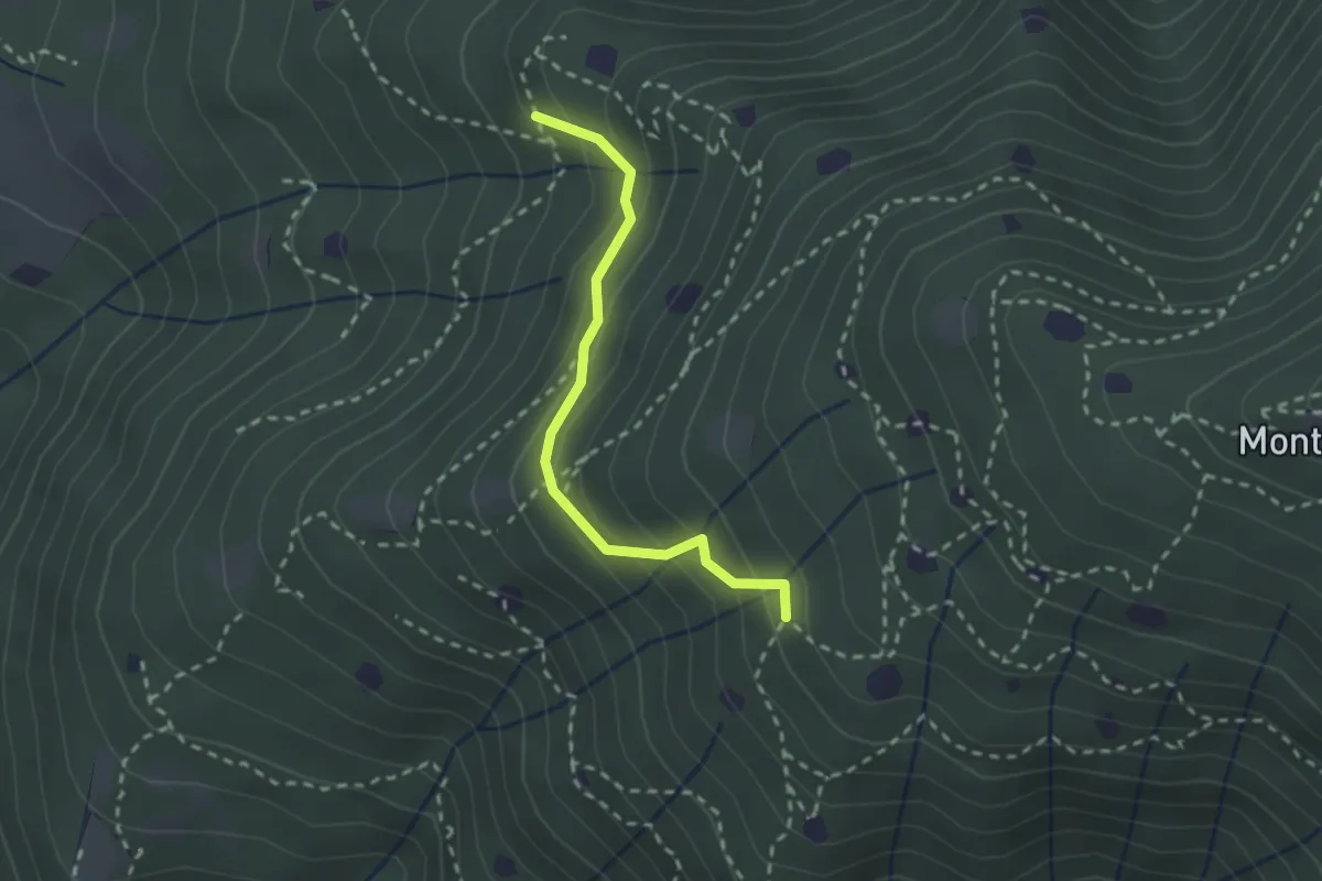
Easy · Trail
Villa Carcina - Sentiero 19
2.3 km · ↑ 210 m · 59 min · 13 km away
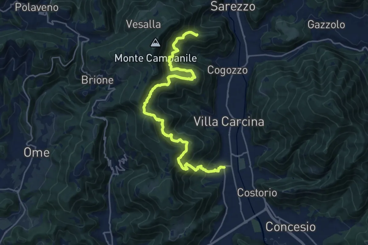
Demanding · Summit
Sentiero n° 1
19.4 km · ↑ 1506 m · 7 h 50 min · 13 km away
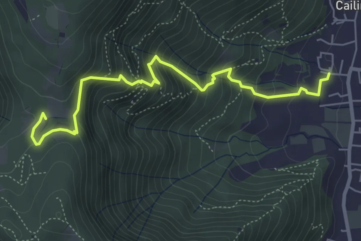
Medium · Trail
Villa Carcina (Cailina) – Quarone
5.7 km · ↑ 534 m · 2 h 30 min · 13 km away
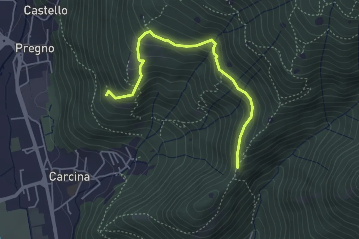
Demanding · Trail
Villa Carcina - Sentiero 16
4.0 km · ↑ 321 m · 1 h 38 min · 13 km away
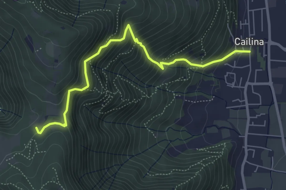
Medium · Trail
Villa Carcina (Cailina) – Quarone
5.8 km · ↑ 607 m · 2 h 42 min · 13 km away
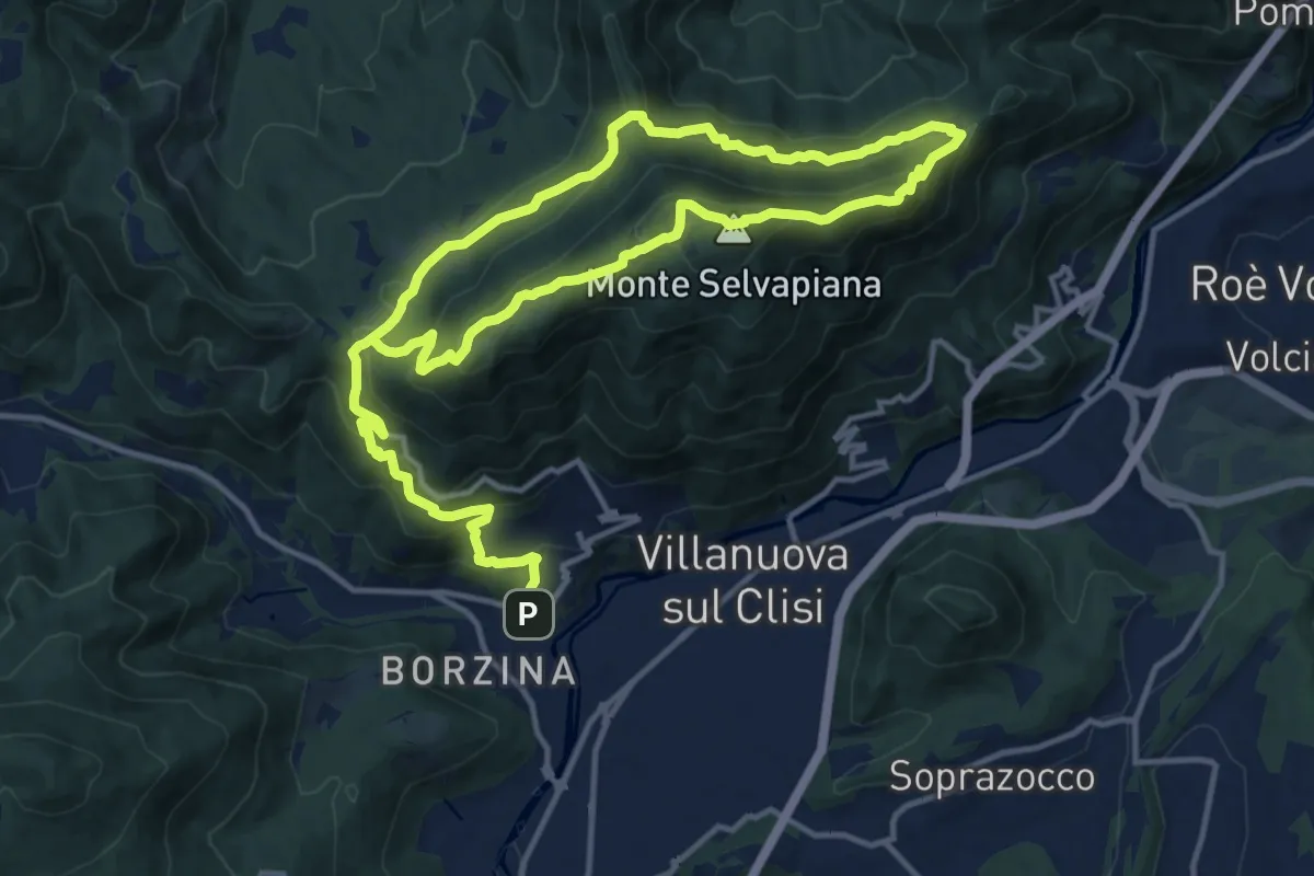
Demanding · Summit
Gavardo (Sopraponte) – Sopraponte
11.8 km · ↑ 965 m · 4 h 51 min · 13 km away
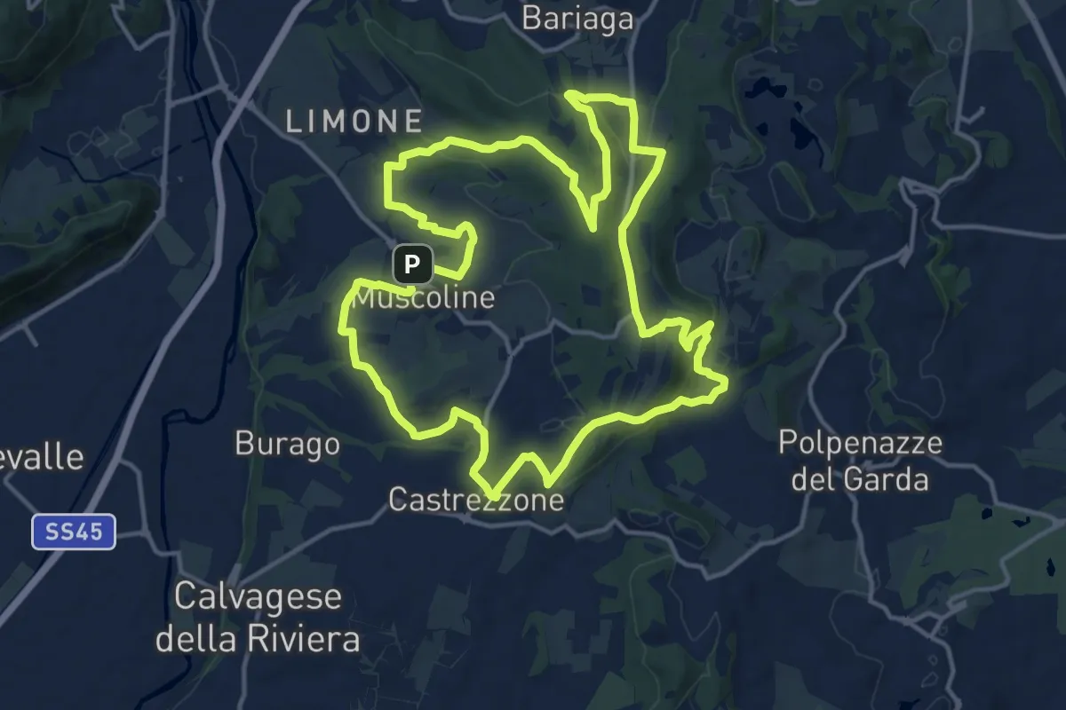
Medium · Summit
Percorso Verde Muscoline
15.1 km · ↑ 297 m · 4 h 24 min · 13 km away
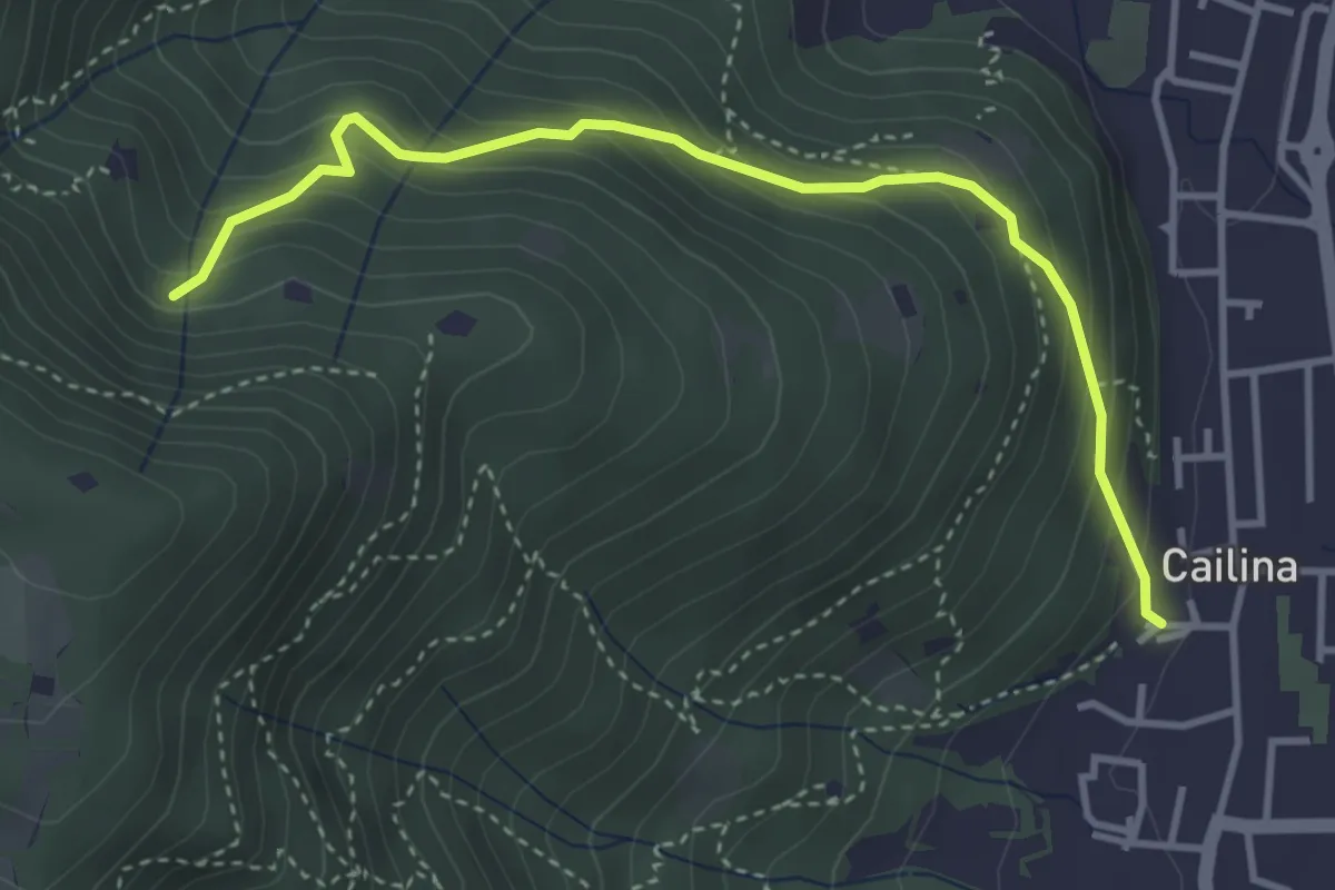
Medium · Trail
Villa Carcina (Cailina) – Roccolo del Prete
4.0 km · ↑ 379 m · 1 h 45 min · 13 km away
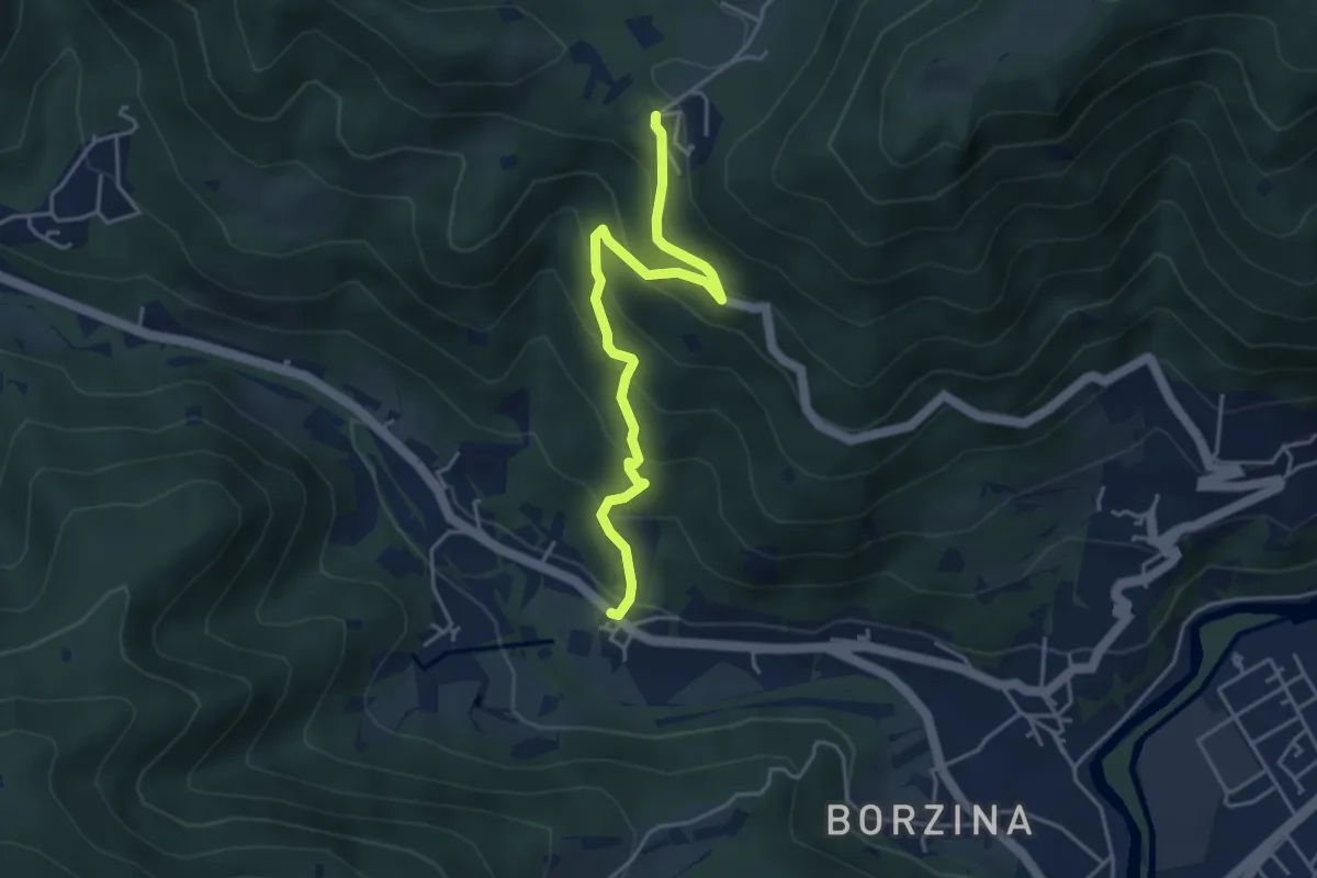
Medium · Trail
Gavardo (Soseto) – Osteria Monte Magno
4.4 km · ↑ 380 m · 1 h 51 min · 13 km away
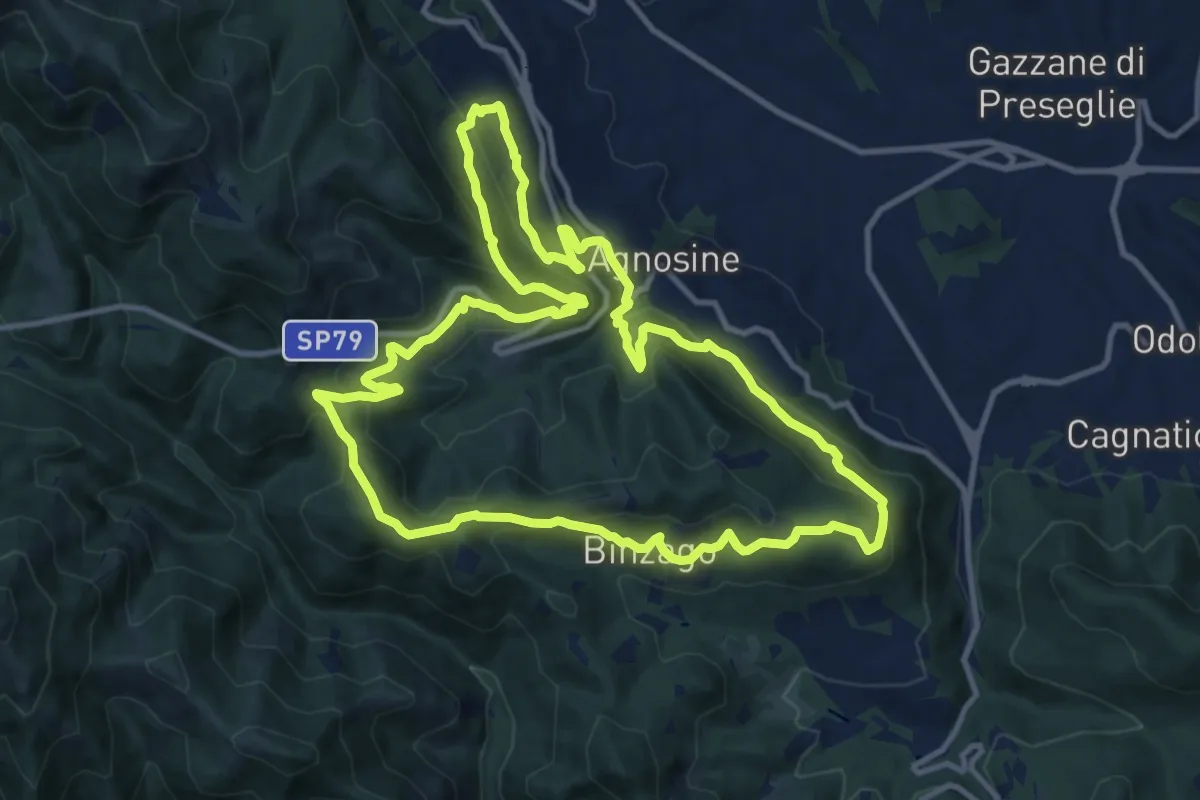
Medium · Summit
Sentiero Tranquillo Bianchi e Caduti per la Libertà di Lumezzane - Tronco A
12.3 km · ↑ 658 m · 4 h 31 min · 13 km away
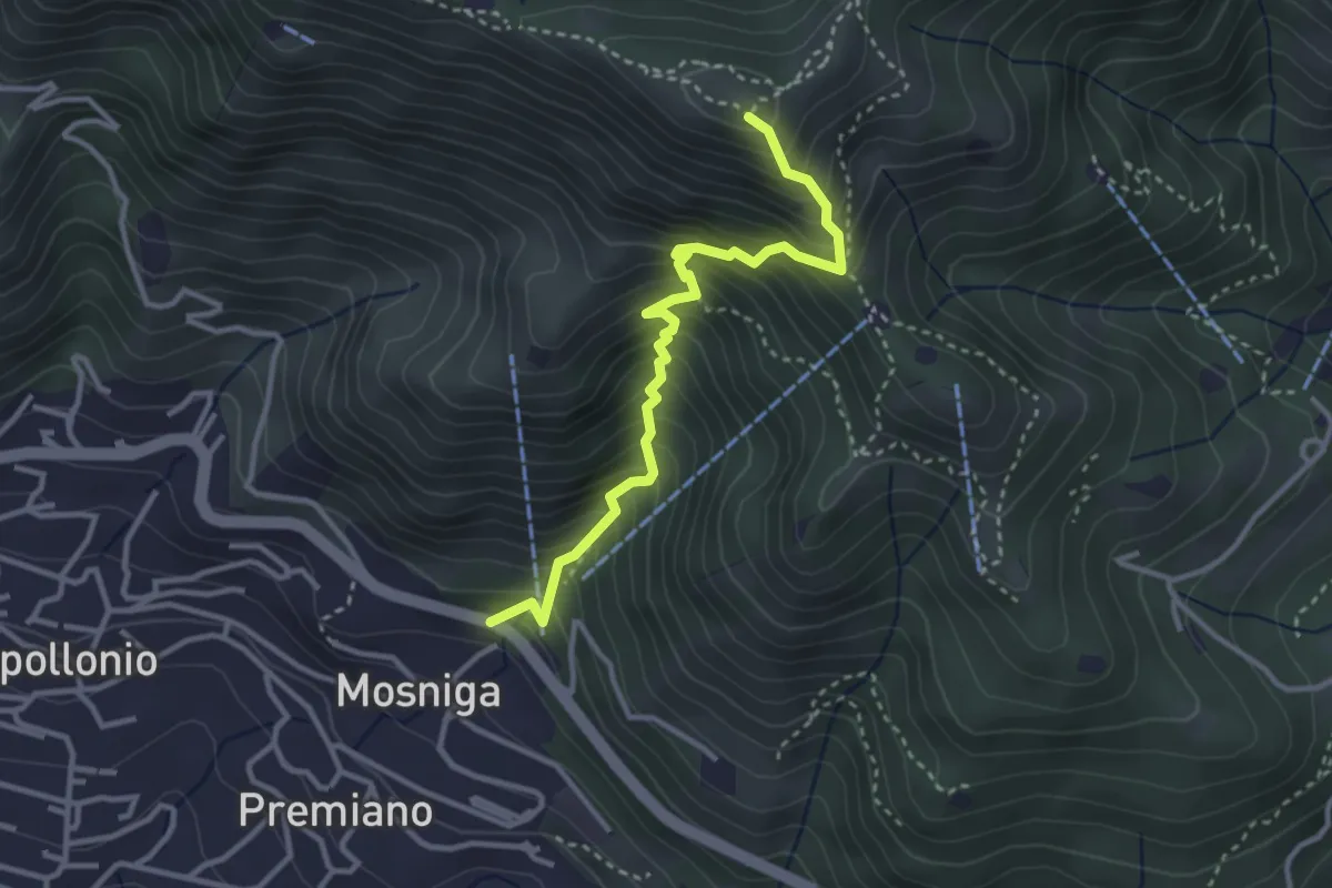
Medium · Summit
Lumezzane (Mosniga) - Punta Camoghera
3.4 km · ↑ 515 m · 1 h 55 min · 13 km away
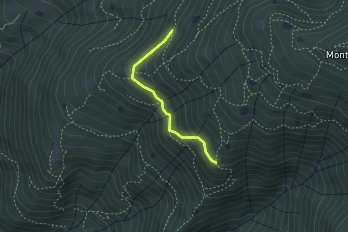
Easy · Trail
Villa Carcina - Sentiero 20
2.4 km · ↑ 169 m · 56 min · 13 km away
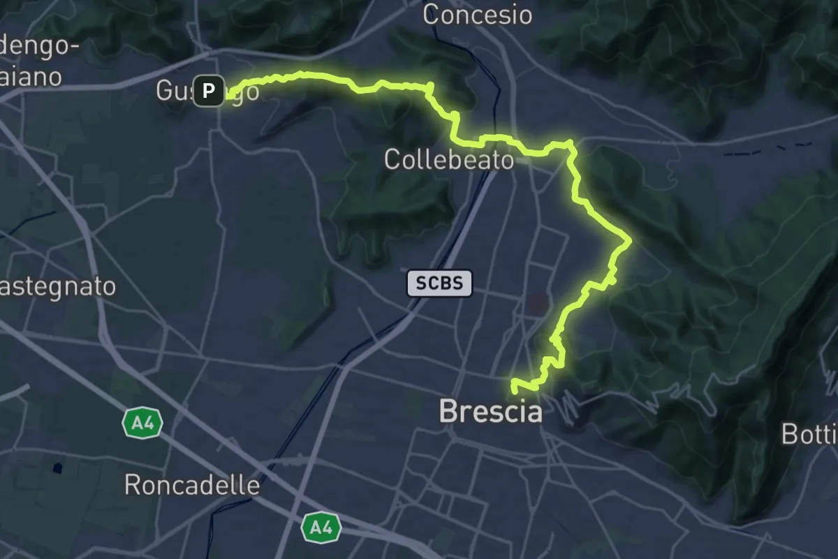
Medium · Summit
La Via delle Sorelle - Tappa 1 variante bassa
16.4 km · ↑ 431 m · 5 h · 13 km away
Medium · Summit
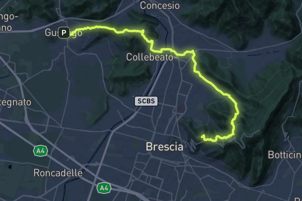
La Via delle Sorelle - Tappa 1
16.8 km · ↑ 713 m · 5 h 37 min · 13 km away
Demanding · Summit
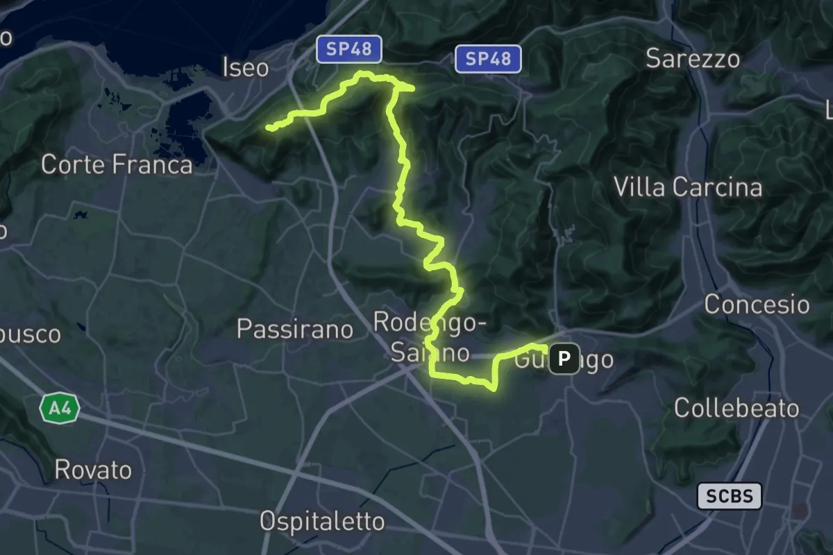
La Via delle Sorelle - Tappa 2
20.0 km · ↑ 651 m · 6 h 10 min · 13 km away
Medium · Summit
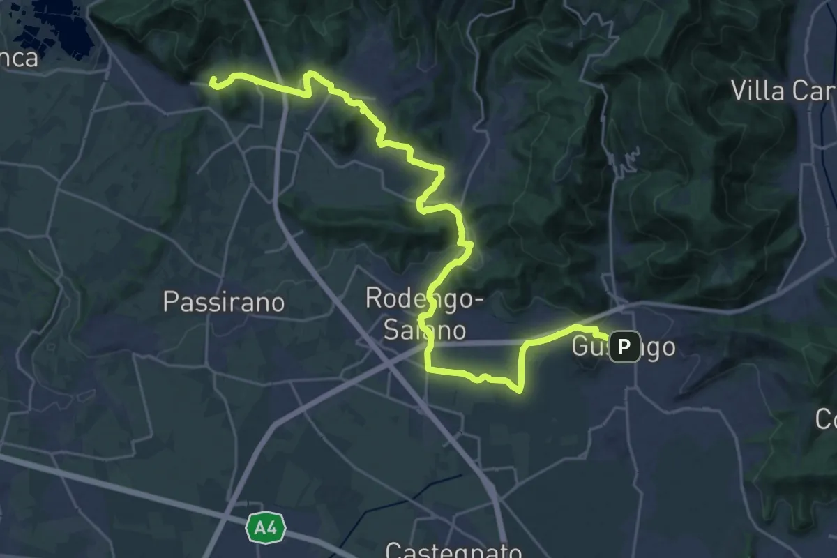
La Via delle Sorelle - Tappa 2 variante bassa
15.3 km · ↑ 256 m · 4 h 19 min · 13 km away
Easy · Trail
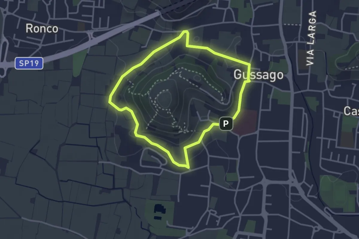
Periplo della Santissima
3.0 km · ↑ 70 m · 54 min · 13 km away
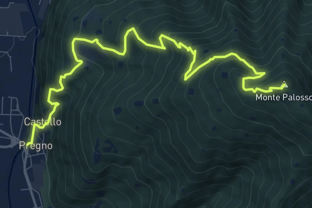
Demanding · Summit
Villa Carcina (Pregno) – Monte Palosso
11.1 km · ↑ 912 m · 4 h 36 min · 13 km away
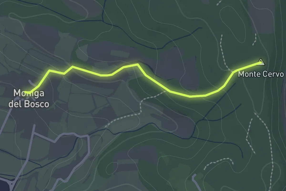
Easy · Summit
Percorso Rosso Muscoline
2.4 km · ↑ 81 m · 45 min · 13 km away
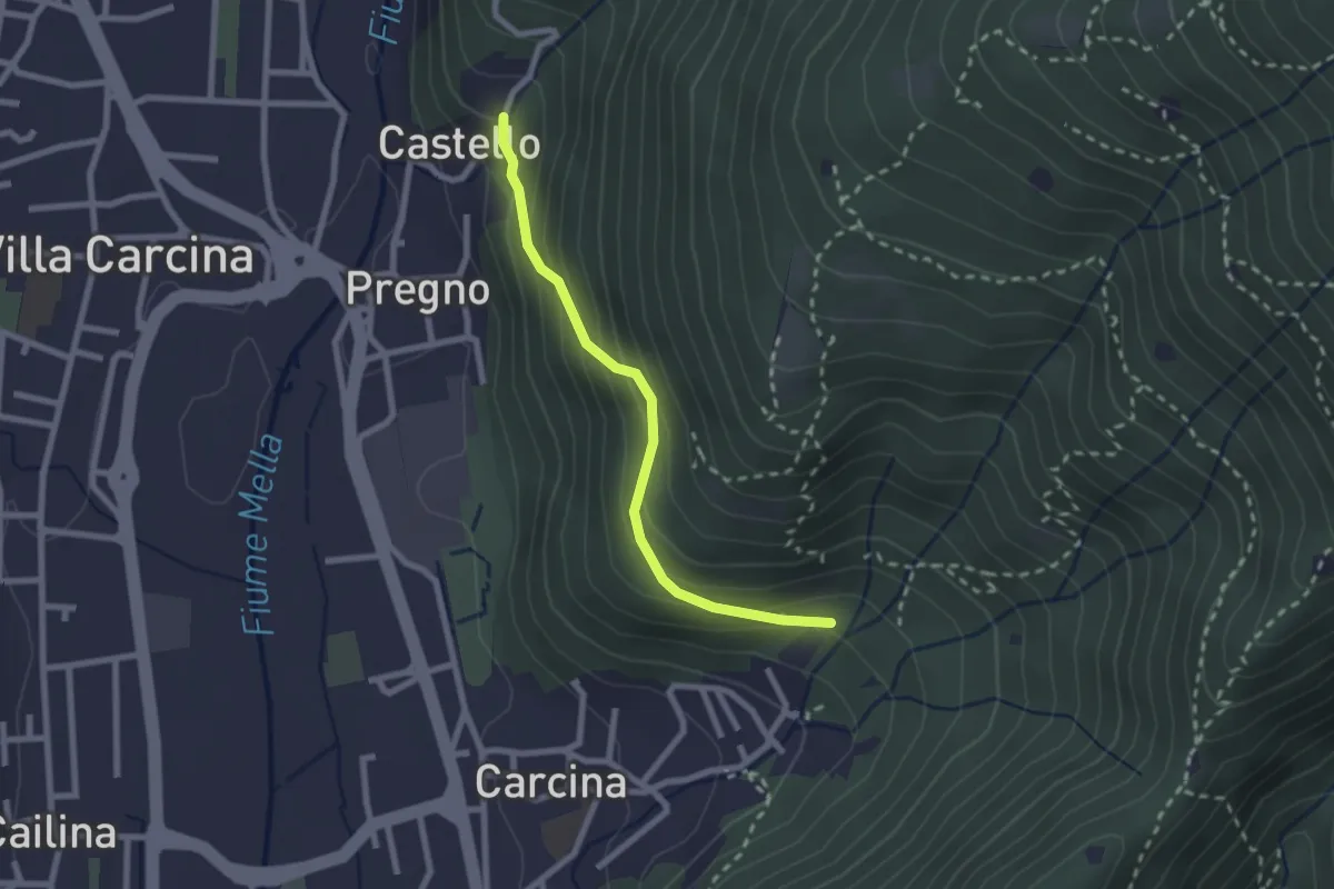
Medium · Trail
Villa Carcina (Carcina) - Pregno
2.2 km · ↑ 165 m · 53 min · 13 km away
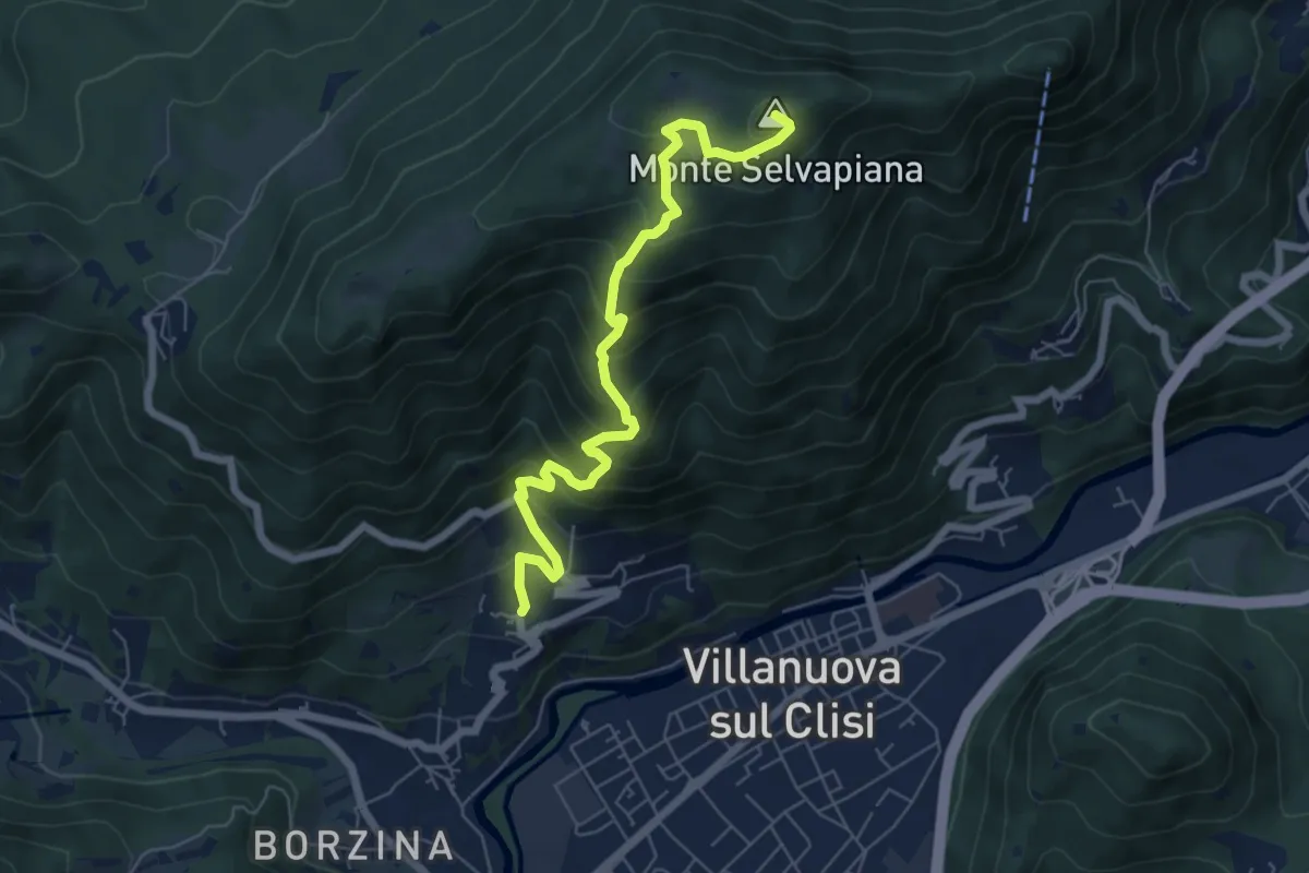
Medium · Summit
Gavardo (Quarena) – Selvapiana
6.7 km · ↑ 634 m · 2 h 58 min · 13 km away
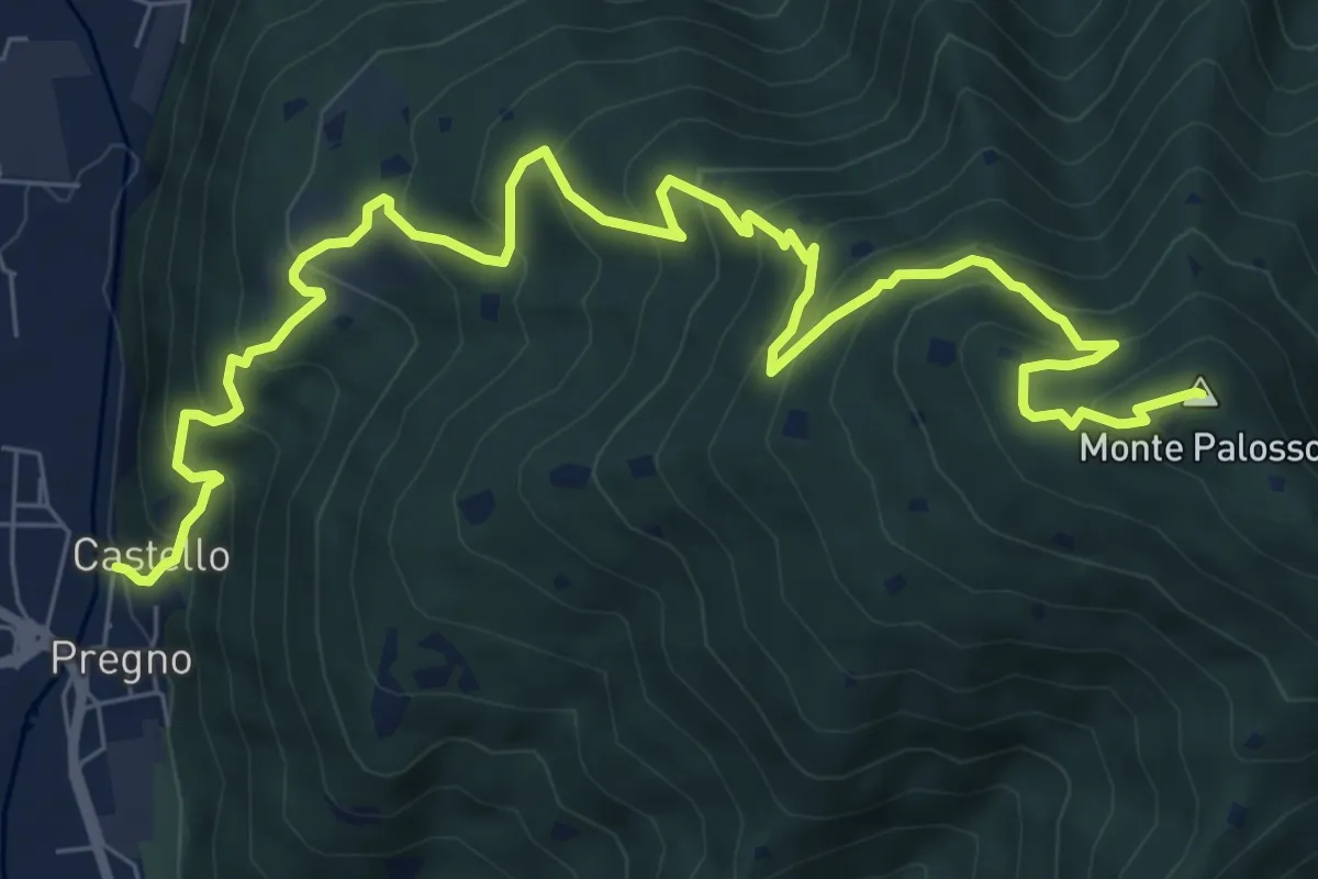
Demanding · Summit
Sentiero n° 2
10.4 km · ↑ 895 m · 4 h 24 min · 13 km away
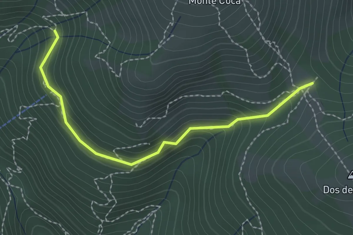
Medium · Trail
Lumezzane (Innesto sentiero 370) - Cocca di Bione
2.2 km · ↑ 106 m · 45 min · 13 km away
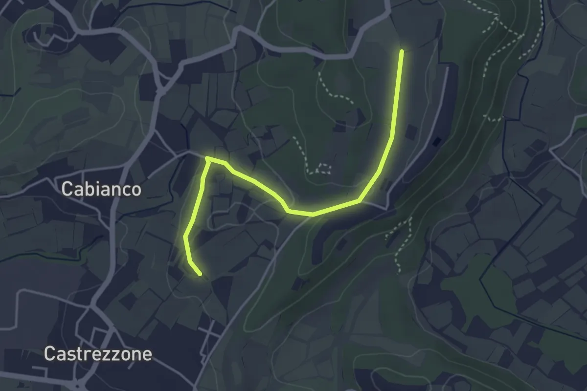
Easy · Trail
Percorso Muscoline Blu2
3.8 km · ↑ 58 m · 1 h 2 min · 13 km away
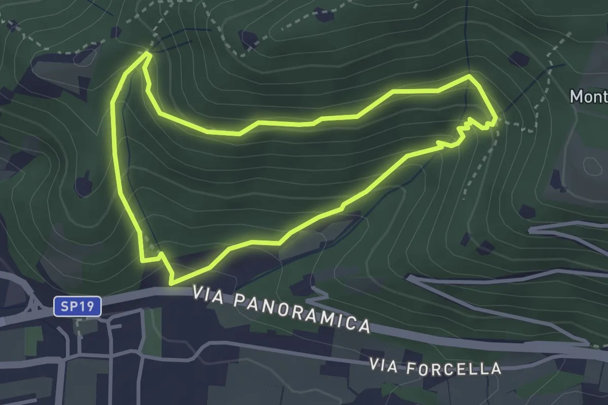
Medium · Trail
Sentiero della Val Volpera
3.0 km · ↑ 258 m · 1 h 18 min · 13 km away
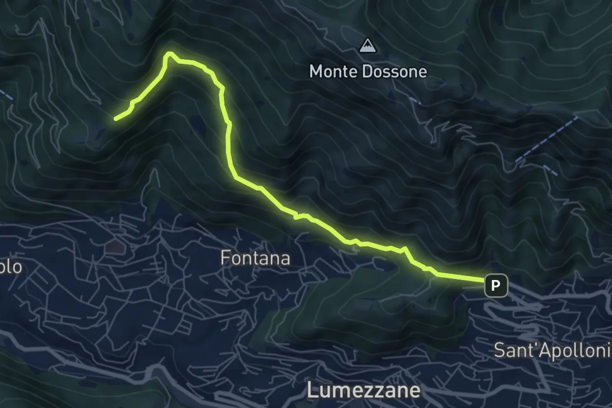
Demanding · Trail
Lumezzane (Ver) – San Bernardo (Bivio Zani Achille)
7.2 km · ↑ 587 m · 2 h 58 min · 14 km away
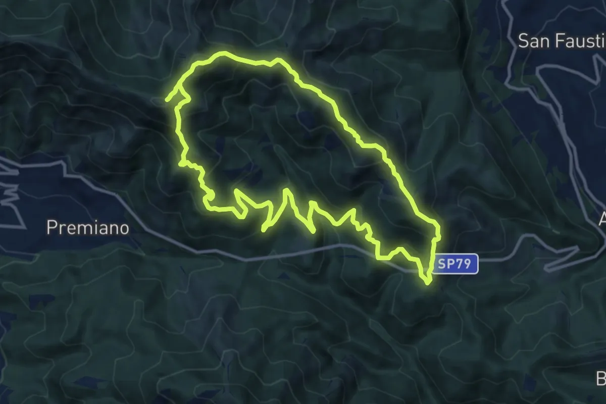
Demanding · Summit
Sentiero Tranquillo Bianchi e Caduti per la Libertà di Lumezzane - Tronco B
10.9 km · ↑ 840 m · 4 h 33 min · 14 km away
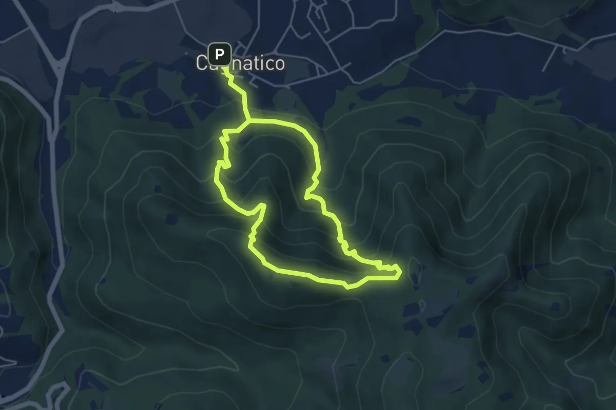
Medium · Summit
Odolo (Cagnatico) – Cagnatico
3.9 km · ↑ 360 m · 1 h 44 min · 14 km away
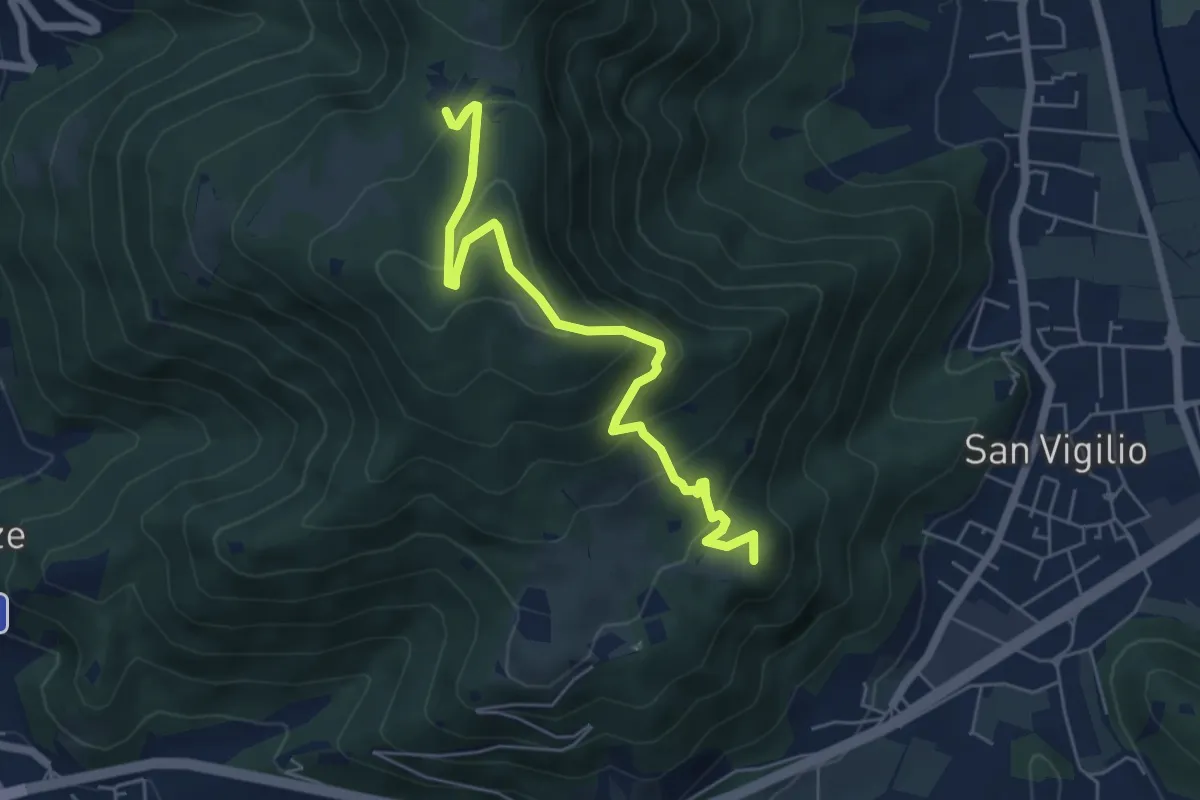
Medium · Summit
Concesio (San Vigilio) – Quarone di Sopra
5.8 km · ↑ 392 m · 2 h 13 min · 14 km away
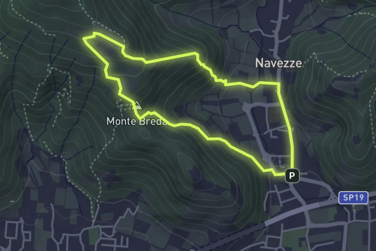
Medium · Summit
Le due Tese - Batoccolo
3.4 km · ↑ 256 m · 1 h 24 min · 14 km away
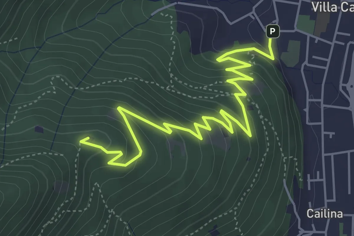
Medium · Summit
Villa Carcina – Sella dell'Oca
6.1 km · ↑ 364 m · 2 h 14 min · 14 km away
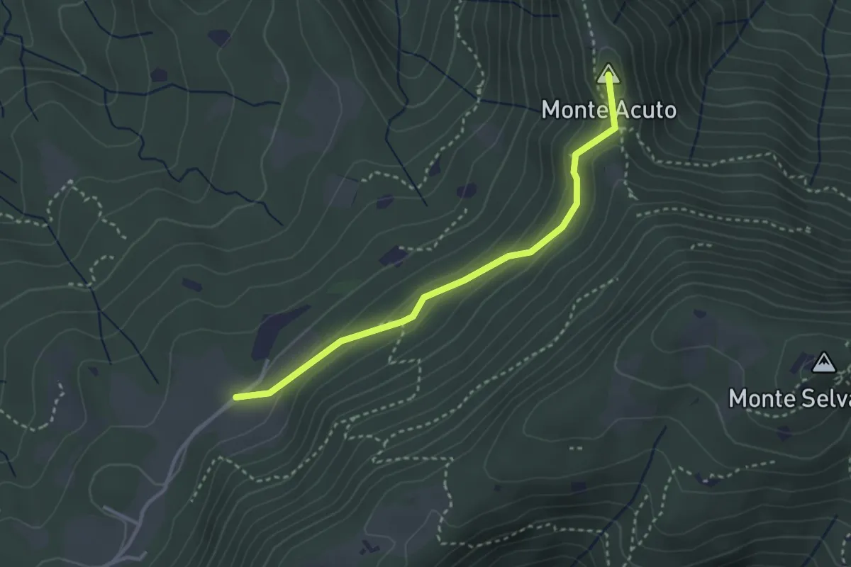
Medium · Summit
Sabbio Chiese (Monte Acuto - Innesto Sentiero 495) - Monte Magno
3.1 km · ↑ 162 m · 1 h 4 min · 14 km away
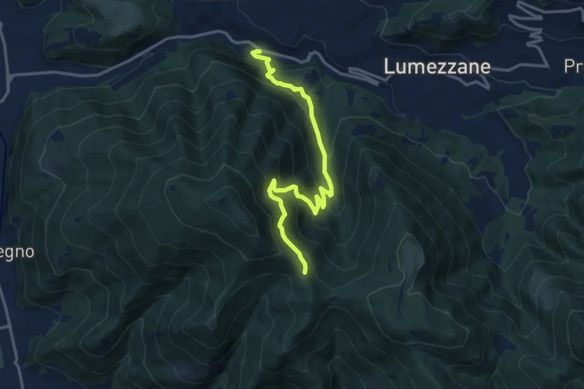
Medium · Trail
Lumezzane (Valle) – Sconfoia
9.7 km · ↑ 716 m · 3 h 50 min · 14 km away
Medium · Summit
Lumezzane (Valle) – Cascina Cocca
5.8 km · ↑ 798 m · 3 h 5 min · 14 km away
Medium · Trail
Sentiero Domenico Cancarini e Antonio Giubileo
6.1 km · ↑ 617 m · 2 h 46 min · 14 km away
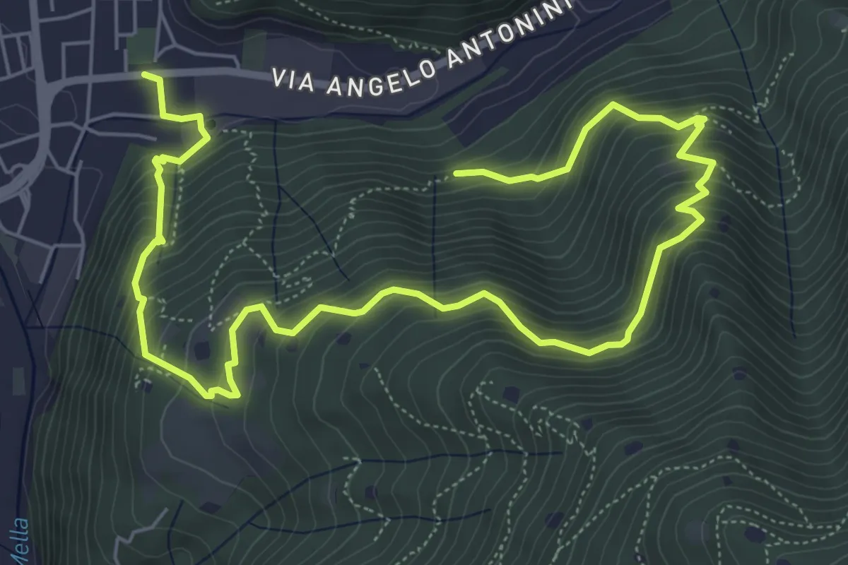
Medium · Trail
Villa Carcina - Campo Lupo
3.1 km · ↑ 389 m · 1 h 34 min · 14 km away
Demanding · Trail
La Vià Antiga
9.3 km · ↑ 858 m · 4 h 3 min · 14 km away