Trails near Botticino
210 hikes starting within 15 km, nearest first.
Nearest first, page 5 of 5
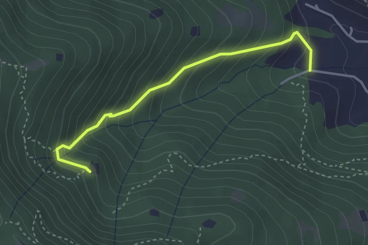
Medium · Trail
Villa Carcina (Villa) - Roccolo del Prete
2.9 km · ↑ 320 m · 1 h 23 min · 14 km away
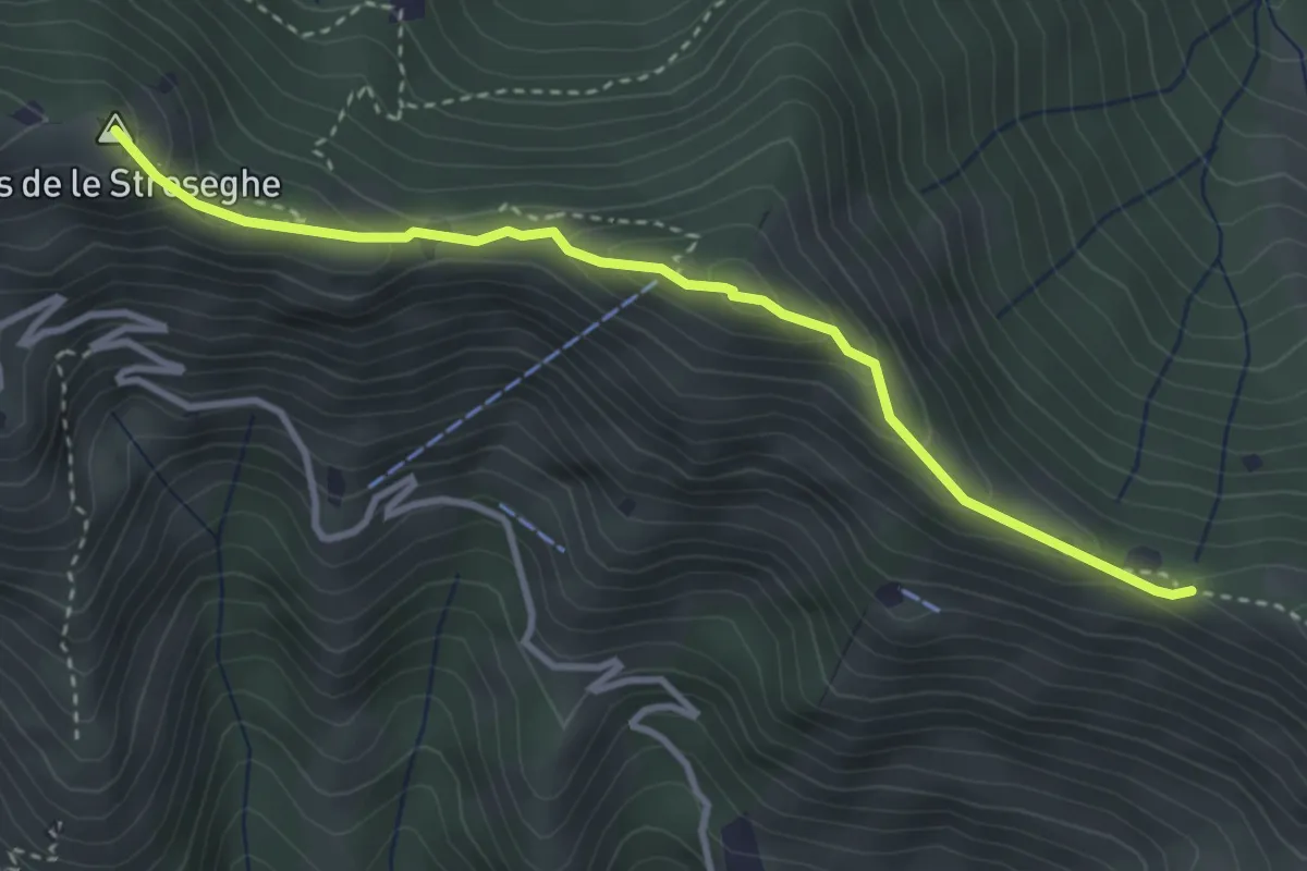
Expert · Summit
Sentiero 3V - Tappa 2 (Variante alta)
3.5 km · ↑ 313 m · 1 h 30 min · 14 km away
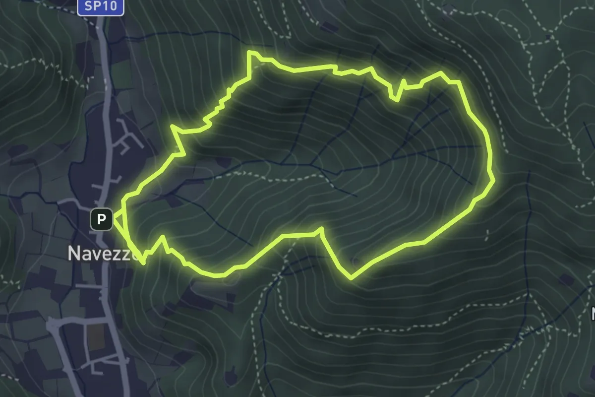
Medium · Trail
Sentiero della Valle di Faidolo
4.3 km · ↑ 452 m · 2 h 2 min · 14 km away
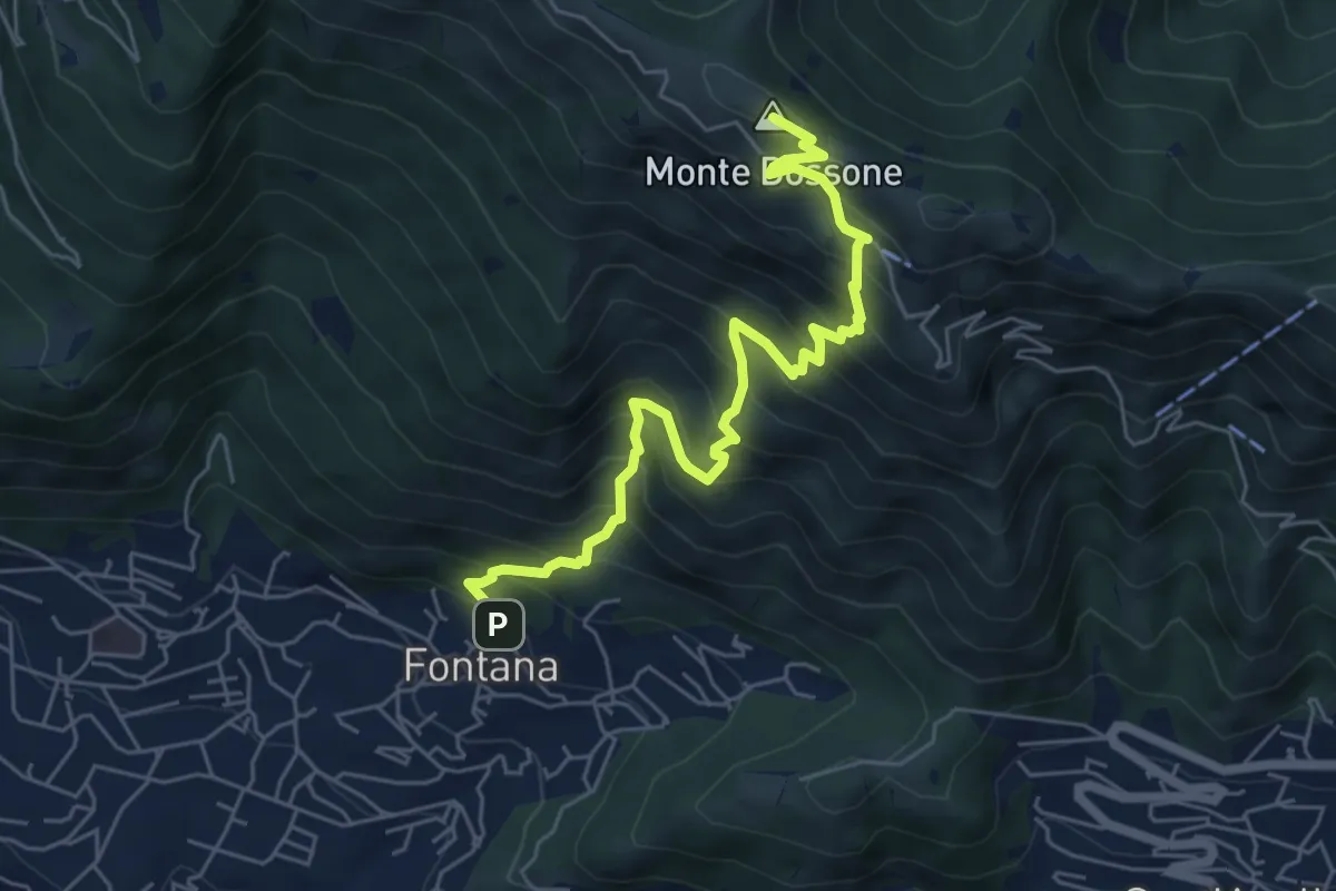
Medium · Summit
Lumezzane (Fontana) - Monte Dossone
6.5 km · ↑ 760 m · 3 h 11 min · 14 km away
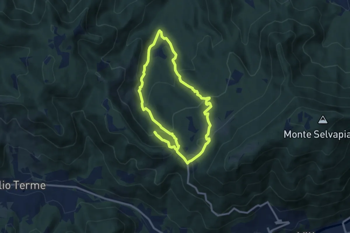
Medium · Trail
Gavardo (Monte Magno) – Monte Magno
6.7 km · ↑ 382 m · 2 h 30 min · 14 km away
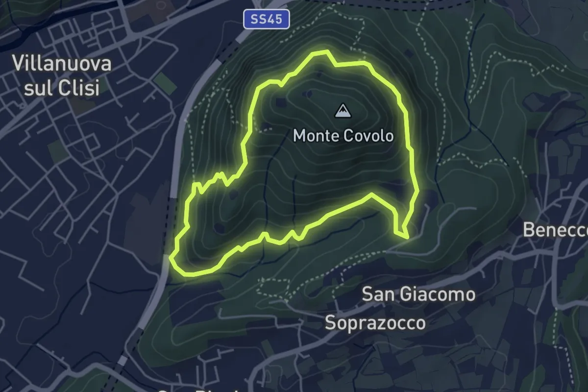
Medium · Trail
Anello Monte Covolo
4.0 km · ↑ 279 m · 1 h 36 min · 14 km away
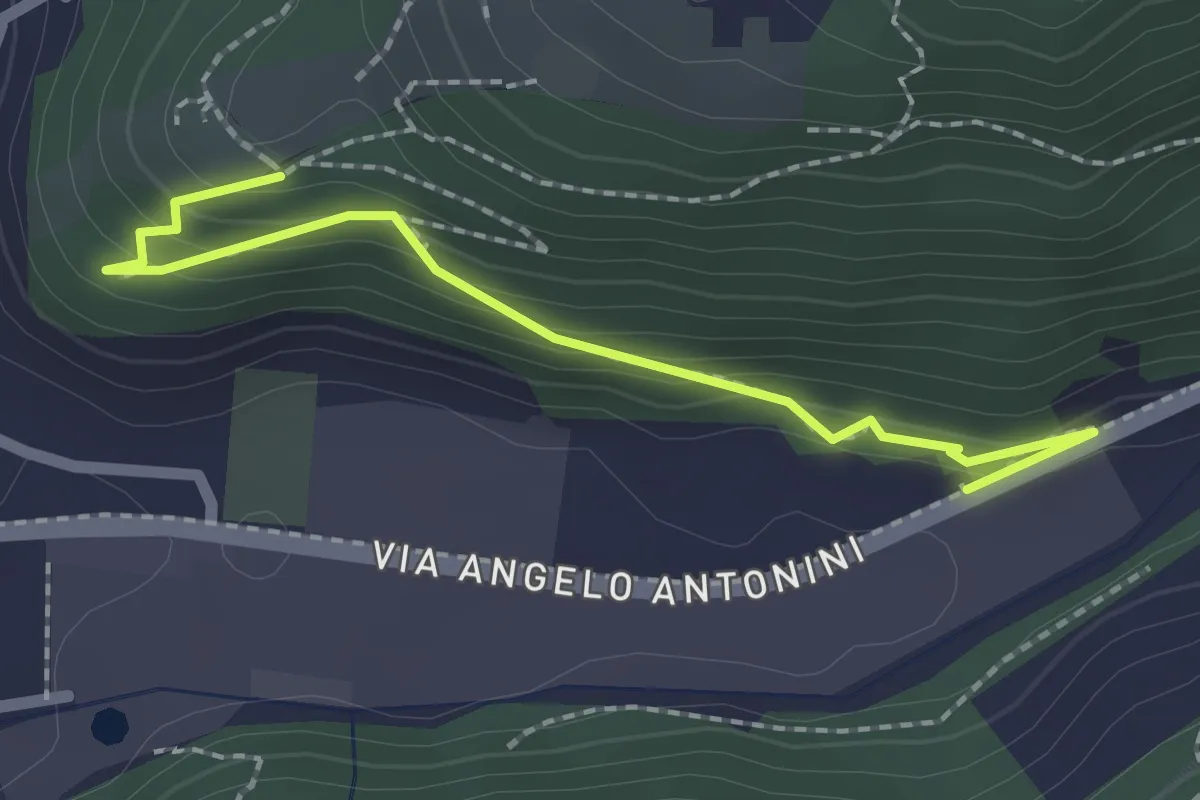
Easy · Trail
Sentiero di Mezzo
2.2 km · ↑ 171 m · 53 min · 14 km away
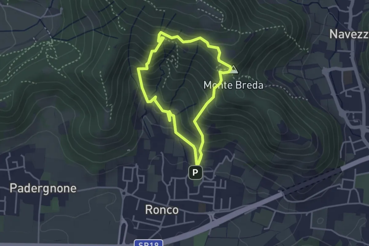
Medium · Summit
Gussago (Ronco) - Tesa di Sotto - Valle Bianca
2.9 km · ↑ 248 m · 1 h 16 min · 14 km away
Medium · Trail
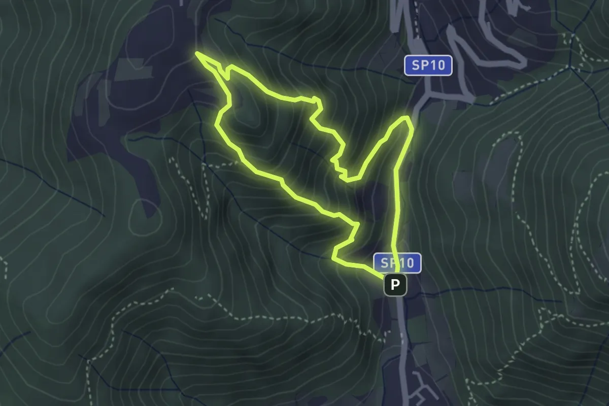
Sentiero Dosso di Mezzane - Barche - Andreolo
3.3 km · ↑ 357 m · 1 h 35 min · 14 km away
Demanding · Summit
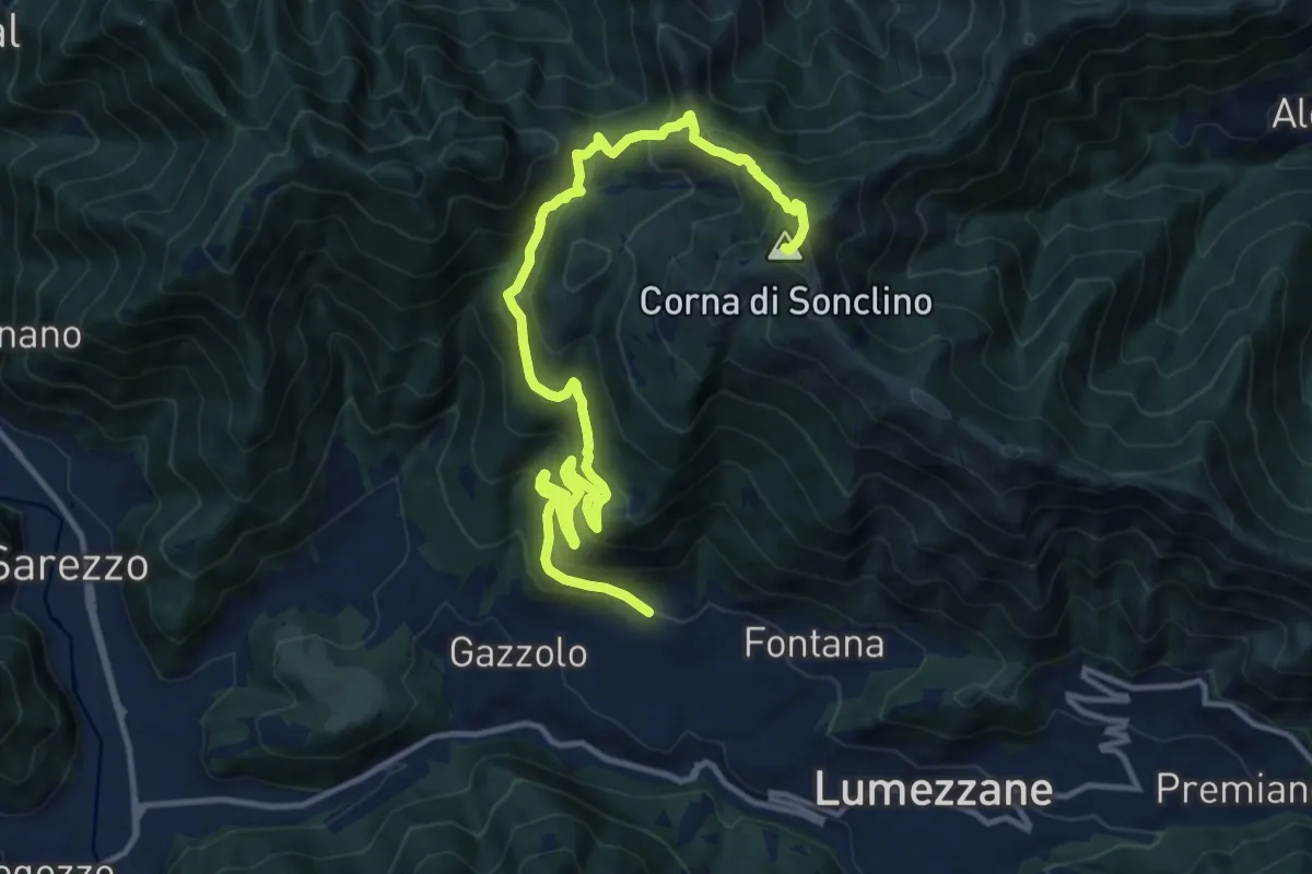
Lumezzane (Pieve) – Corna di Sonclino
16.0 km · ↑ 1116 m · 6 h 11 min · 15 km away
Demanding · Summit
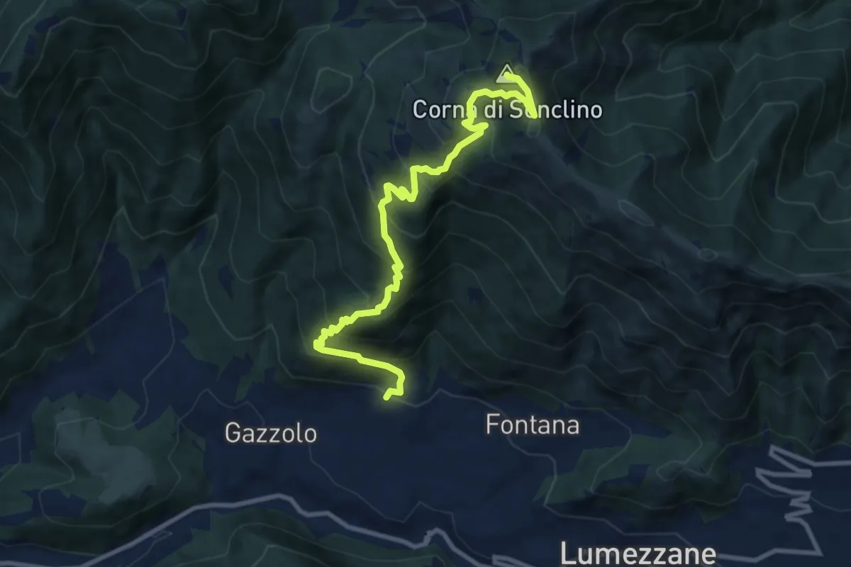
Lumezzane (Pieve) – Corna di Sonclino
9.9 km · ↑ 853 m · 4 h 11 min · 15 km away
Easy · Trail
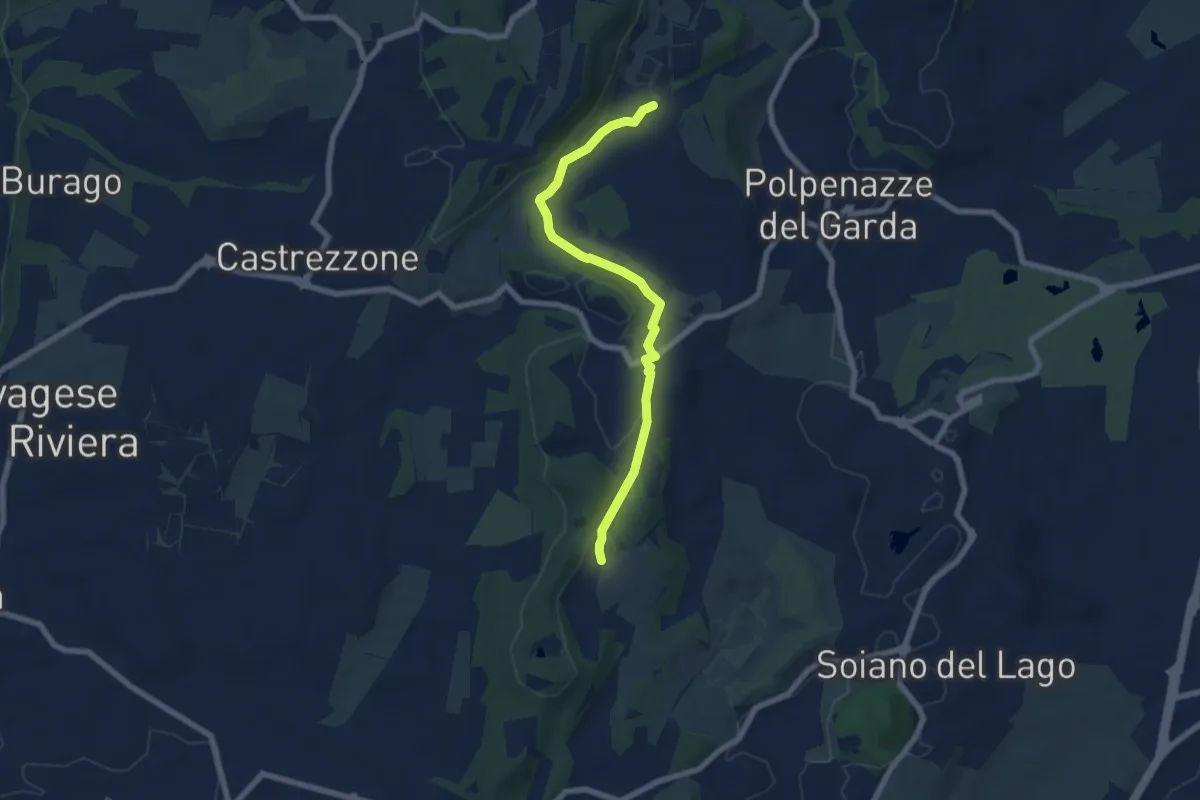
Lago di Lucone, Castelletto
6.9 km · ↑ 97 m · 1 h 51 min · 15 km away
Medium · Trail
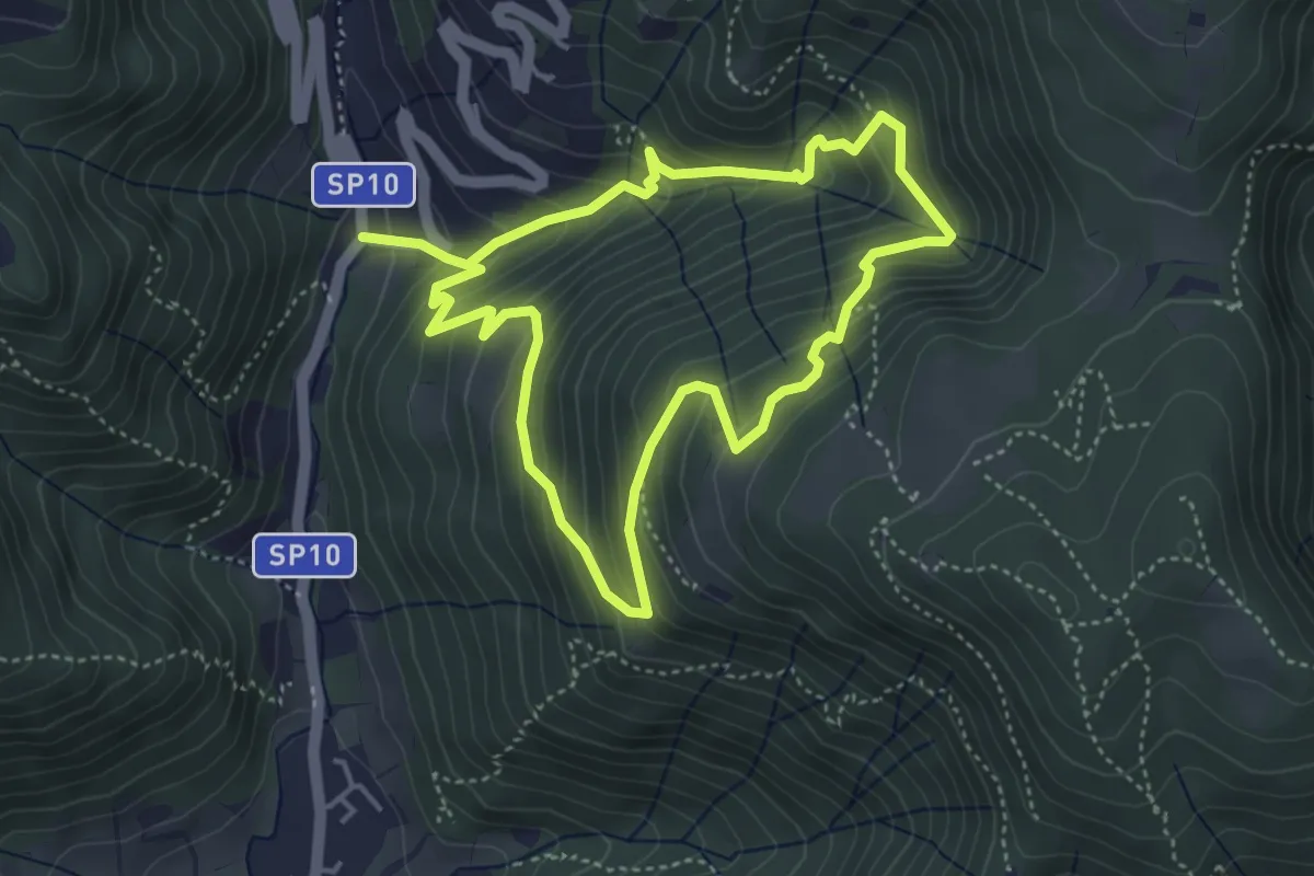
Sentiero della Valle Gandine
4.1 km · ↑ 358 m · 1 h 48 min · 15 km away
Medium · Trail
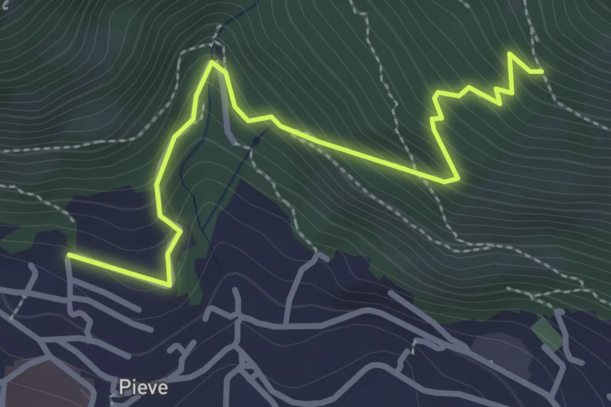
Lumezzane (Pieve) - Valle dei Fiori - Dossello
2.9 km · ↑ 292 m · 1 h 19 min · 15 km away
Demanding · Summit
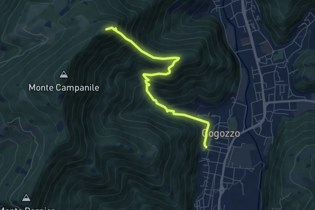
Villa Carcina – Pizzo Cornacchia
6.7 km · ↑ 672 m · 3 h 2 min · 15 km away
Medium · Trail
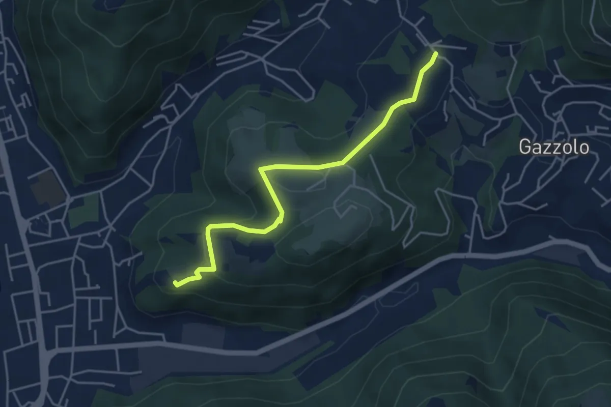
Sarezzo (Via Cagnaghe) - Castello
4.1 km · ↑ 134 m · 1 h 15 min · 15 km away
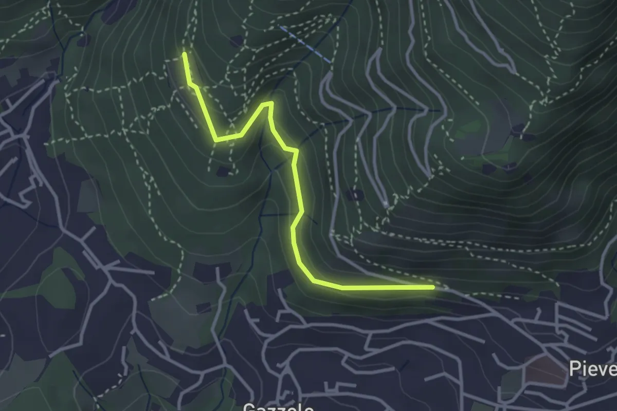
Easy · Trail
Lumezzane (Pieve) - Dosso Castolo
3.0 km · ↑ 153 m · 1 h 3 min · 15 km away
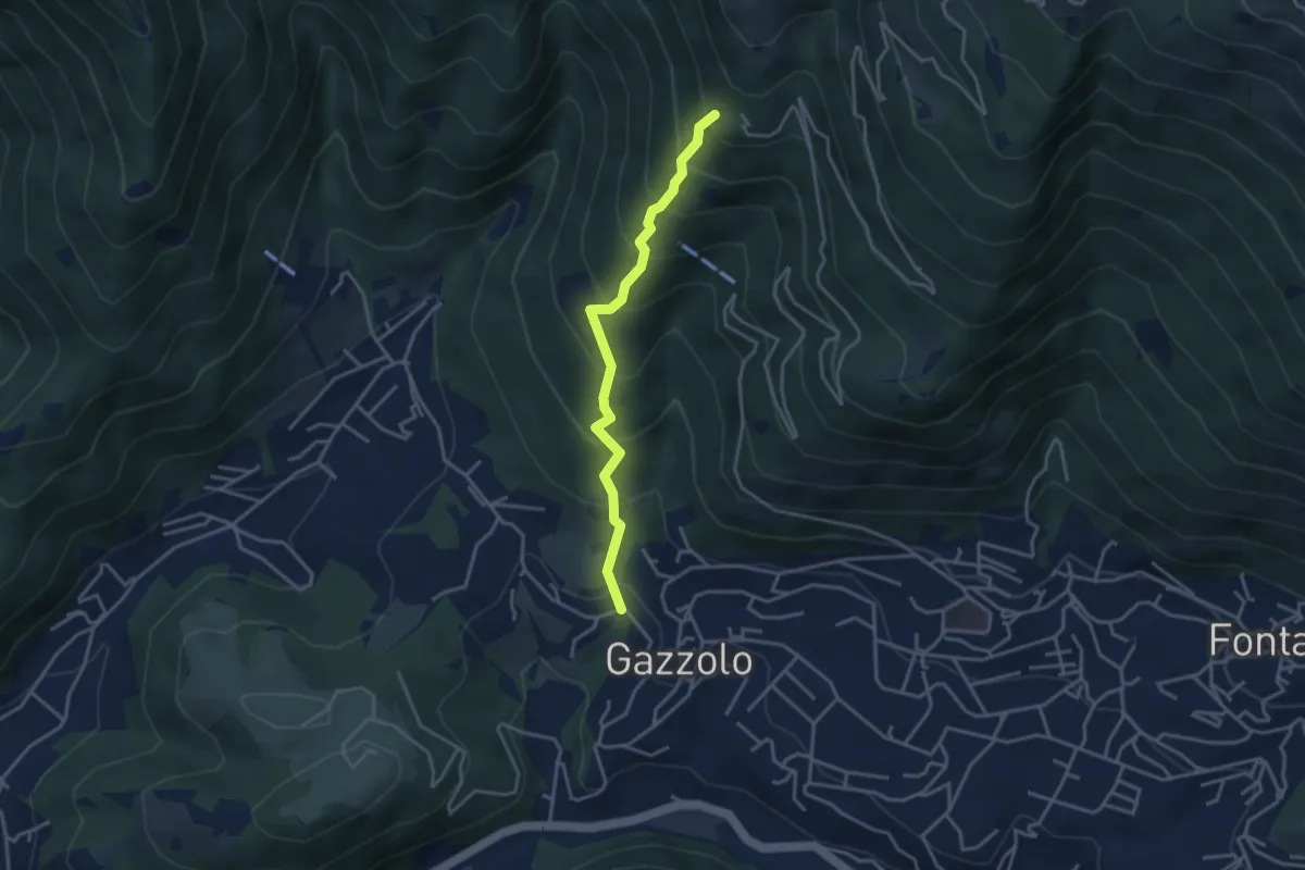
Medium · Trail
Lumezzane (Gazzolo) - Santella dei Giori
3.5 km · ↑ 418 m · 1 h 43 min · 15 km away