Trails near Brixen - Bressanone
150 hikes starting within 15 km, nearest first.
Nearest first, page 1 of 4
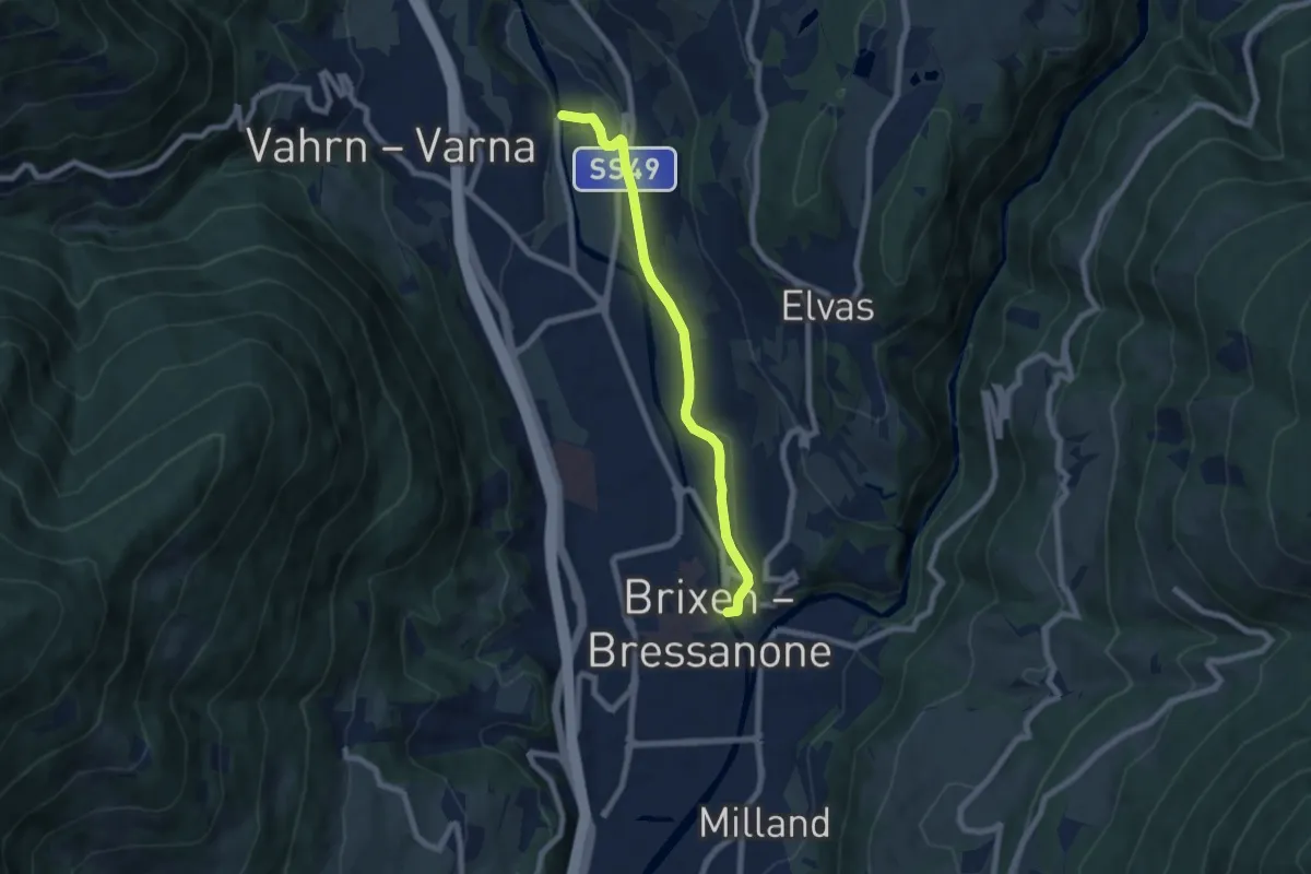
Easy · Trail
Weinweg Brixen-Neustift - Sentiero del Vino Bressanone-Novacella
6.7 km · ↑ 122 m · 1 h 50 min · under 1 km away
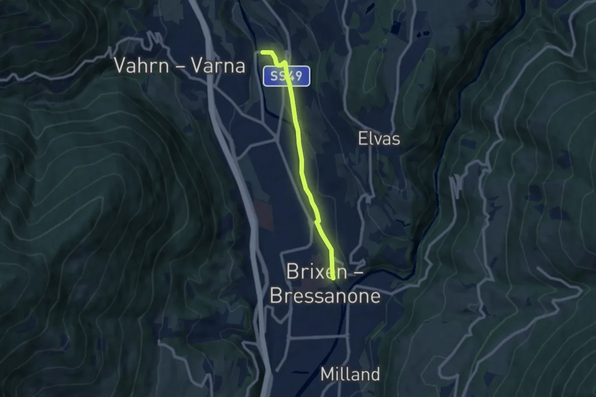
Easy · Trail
16 - Brixen => Neustift
6.3 km · ↑ 53 m · 1 h 36 min · under 1 km away
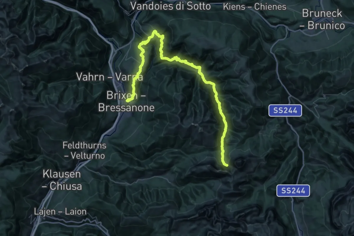
Demanding · Trail
1 - Brixen => Natz => Rodeneck => Lüsen => AV2
34.1 km · ↑ 2488 m · 13 h 12 min · under 1 km away
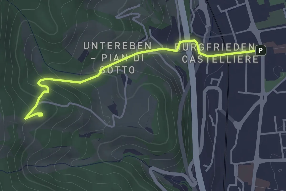
Easy · Trail
St.-Cyrillus-Weg - Itinerario S. Cirillo
3.5 km · ↑ 264 m · 1 h 24 min · under 1 km away
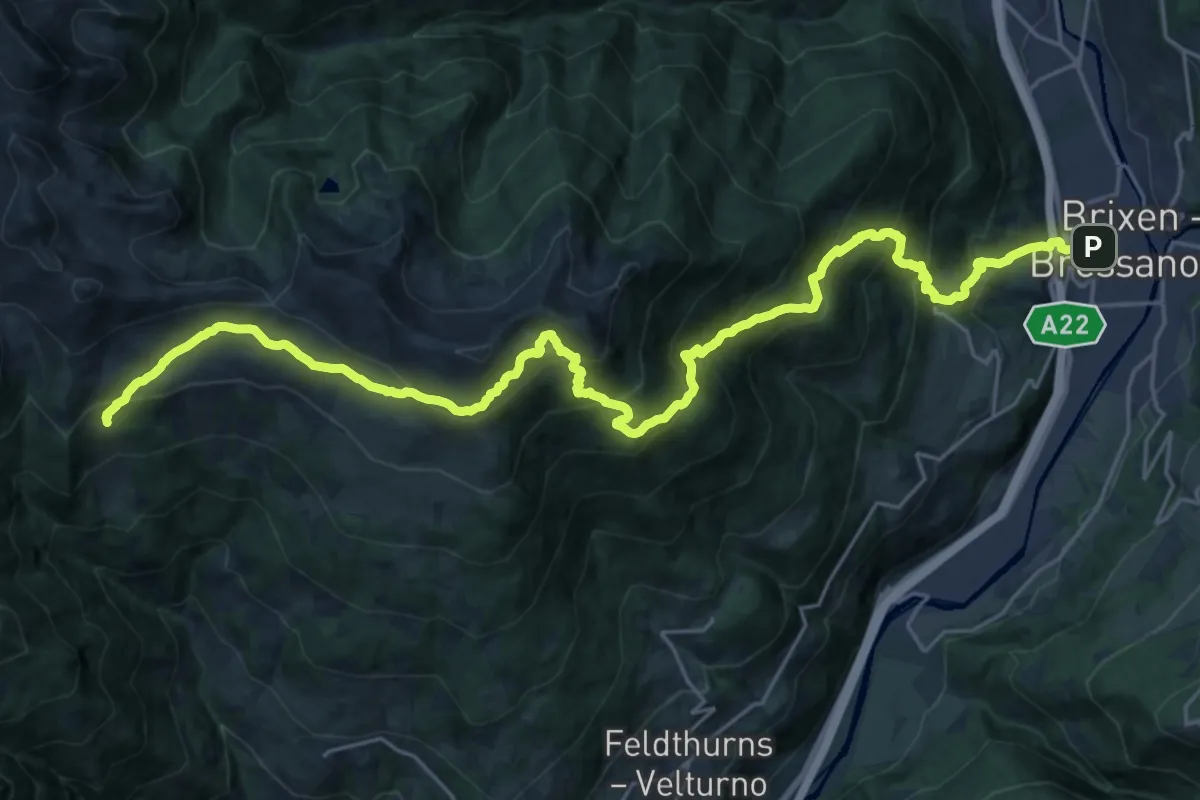
Demanding · Cabin
8 - Brixen => Radlseehütte => Klausner Hütte
14.8 km · ↑ 1822 m · 6 h 59 min · under 1 km away
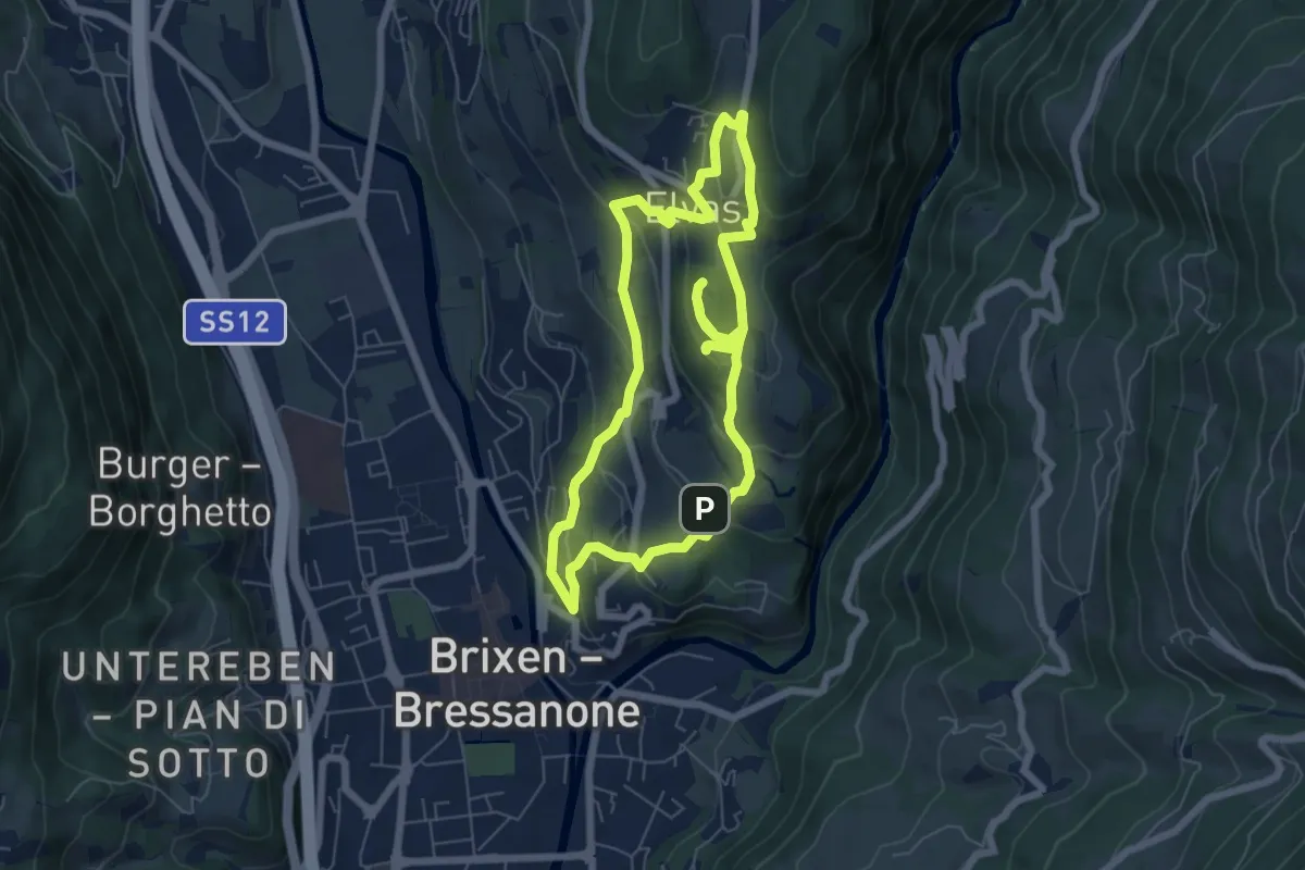
Easy · Trail
archeo
6.4 km · ↑ 279 m · 2 h 12 min · 1 km away
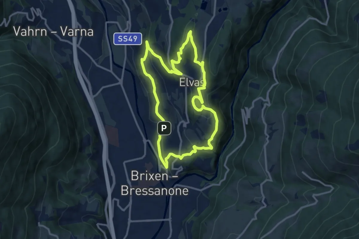
Medium · Trail
Pinazweg
8.8 km · ↑ 353 m · 2 h 58 min · 1 km away
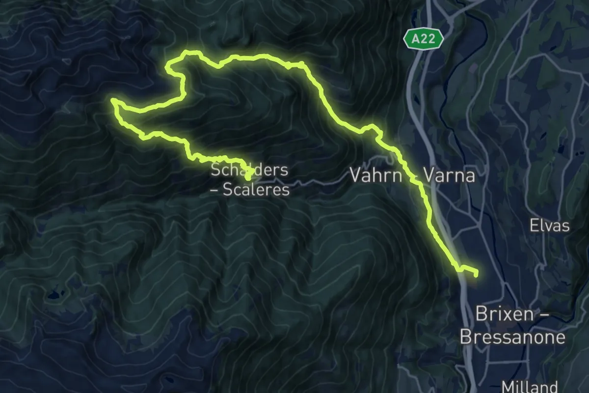
Demanding · Trail
2 - Brixen => Schalders
15.1 km · ↑ 1606 m · 6 h 58 min · 1 km away
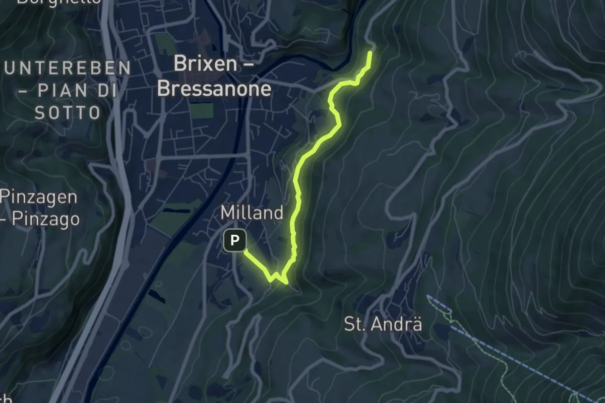
Medium · Trail
Karlspromenade
5.8 km · ↑ 370 m · 2 h 10 min · 1 km away
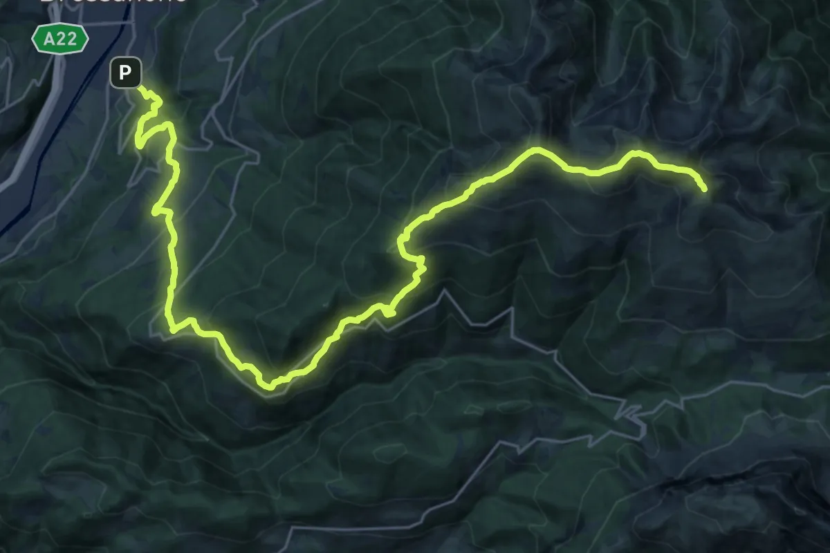
Demanding · Summit
7 - Gablersteig
32.5 km · ↑ 2382 m · 12 h 50 min · 1 km away
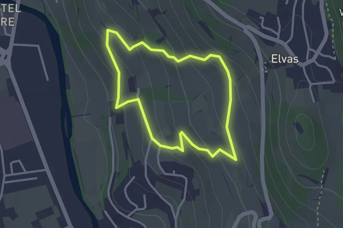
Easy · Trail
Rundwanderweg Kranebitt - Passeggiata Costa d'Elvas
2.3 km · ↑ 135 m · 52 min · 2 km away
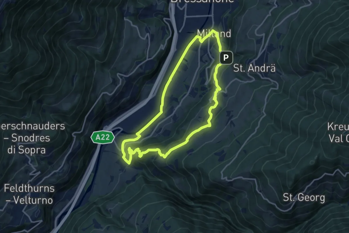
Medium · Summit
Albeins-Klerant-Milland - Albes-Cleran-Millan
11.5 km · ↑ 460 m · 3 h 53 min · 2 km away
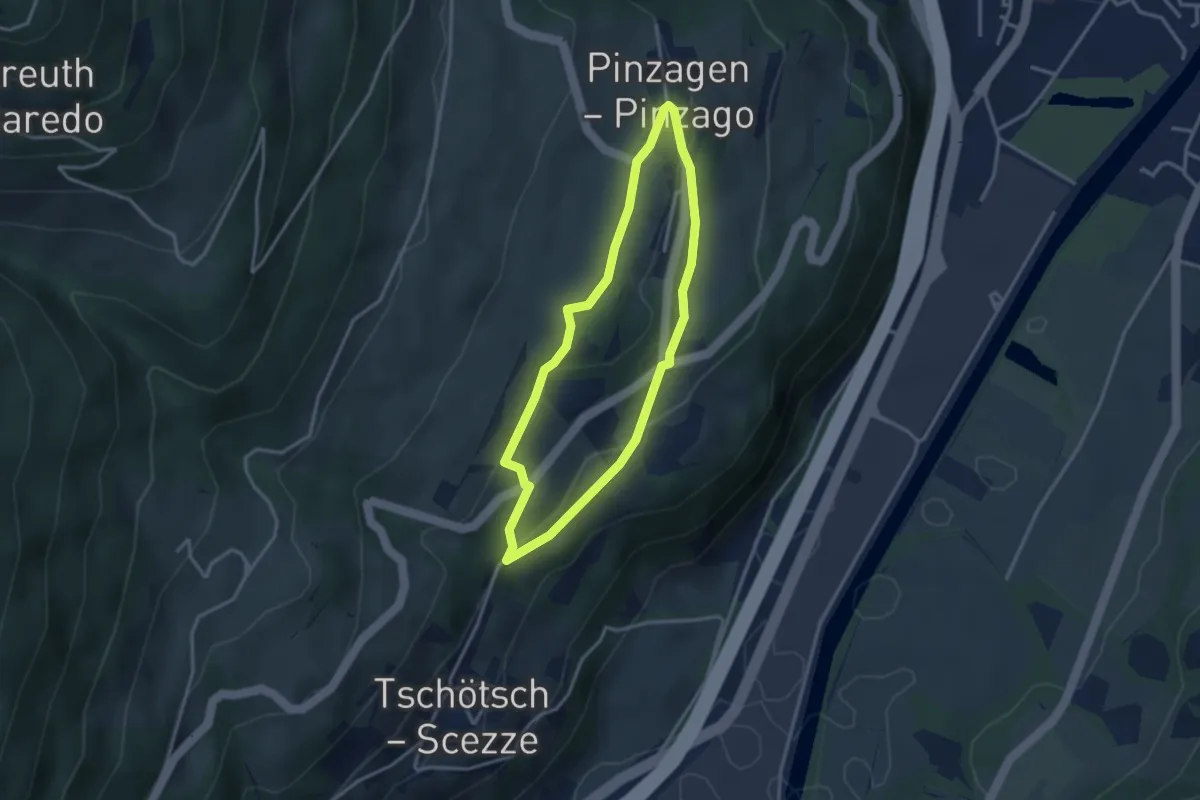
Easy · Trail
Rundweg Pinzagen
2.8 km · ↑ 86 m · 53 min · 2 km away
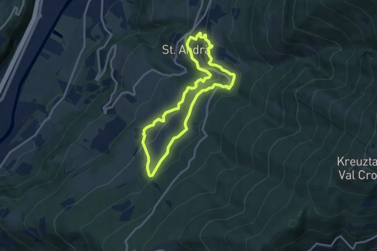
Easy · Trail
St.-Andrä-Rundweg
6.3 km · ↑ 294 m · 2 h 12 min · 2 km away
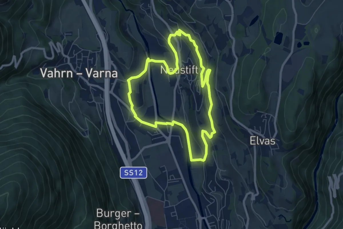
Easy · Trail
Törggeleweg
6.3 km · ↑ 209 m · 2 h 1 min · 2 km away
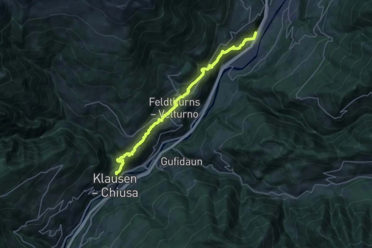
Medium · Summit
Jakobsweg Neustift => Villanders - Cammino di San Giacomo Novacella => Villandro
10.5 km · ↑ 668 m · 4 h 1 min · 3 km away
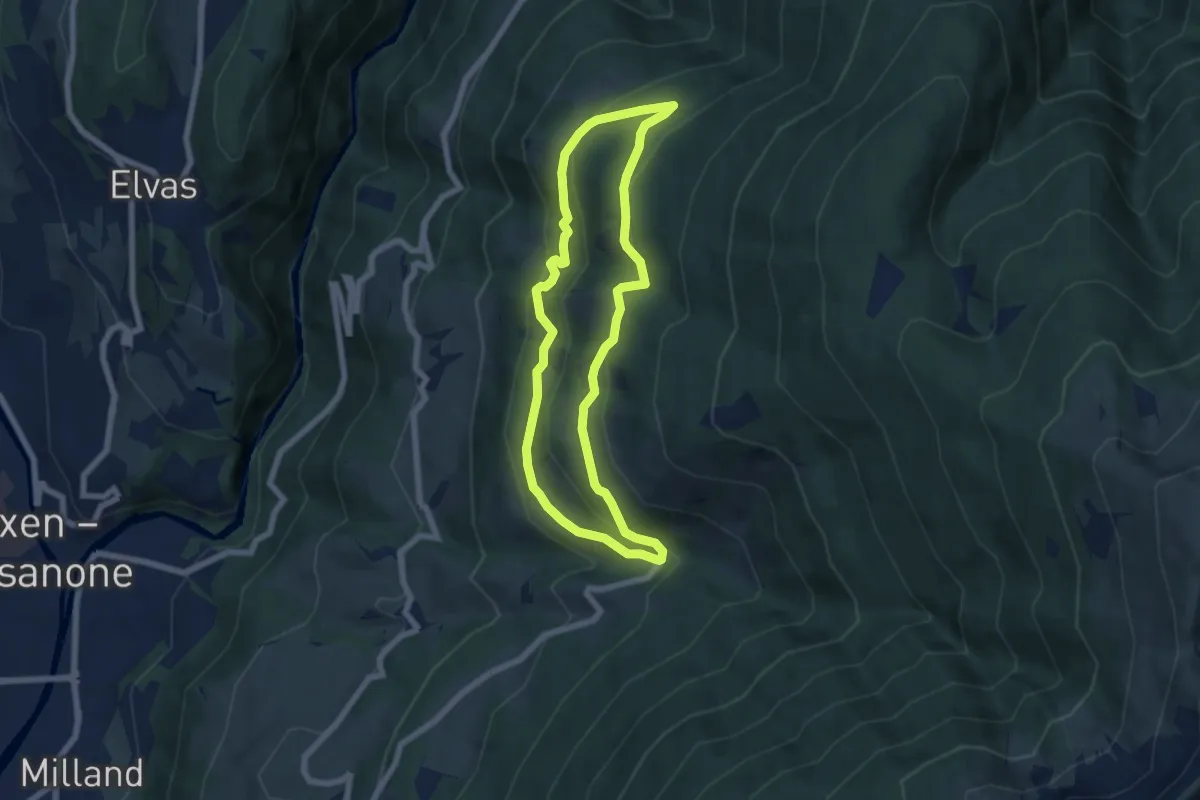
Medium · Trail
6A - St. Leonharder Rundweg
5.9 km · ↑ 343 m · 2 h 13 min · 3 km away
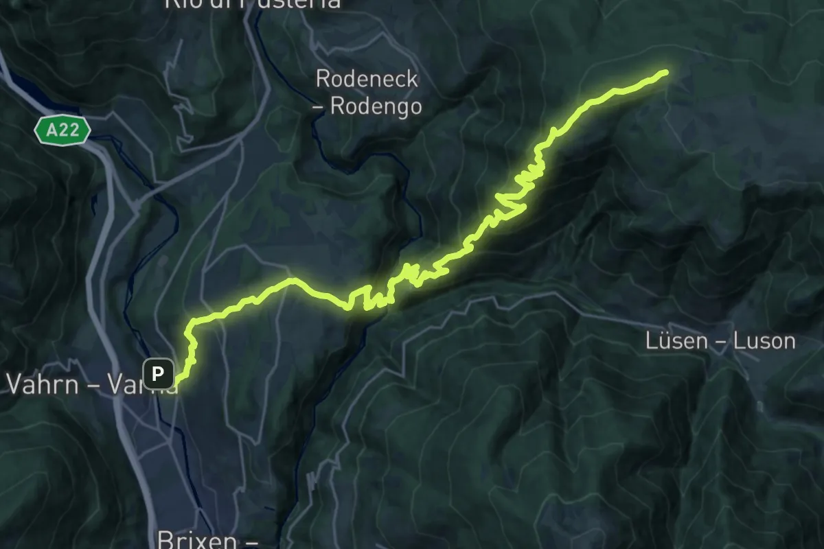
Demanding · Trail
Confinweg/Schöpfungsweg
15.8 km · ↑ 1586 m · 6 h 45 min · 3 km away
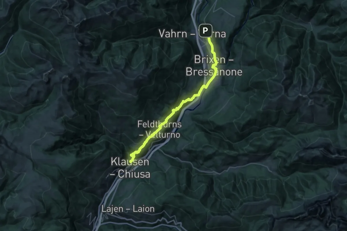
Demanding · Summit
Jakobsweg Klausen - Cammino di San Giacomo Chiusa
34.3 km · ↑ 1390 m · 11 h 7 min · 3 km away
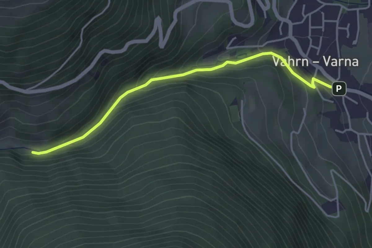
Easy · Trail
Georgssteig - Sentiero di S. Giorgio
3.9 km · ↑ 196 m · 1 h 21 min · 3 km away
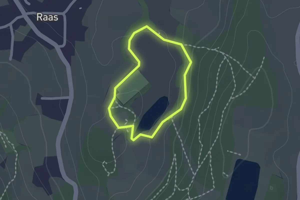
Easy · Trail
Naturerlebnisweg Raier Moos
1.2 km · ↑ 10 m · 19 min · 3 km away
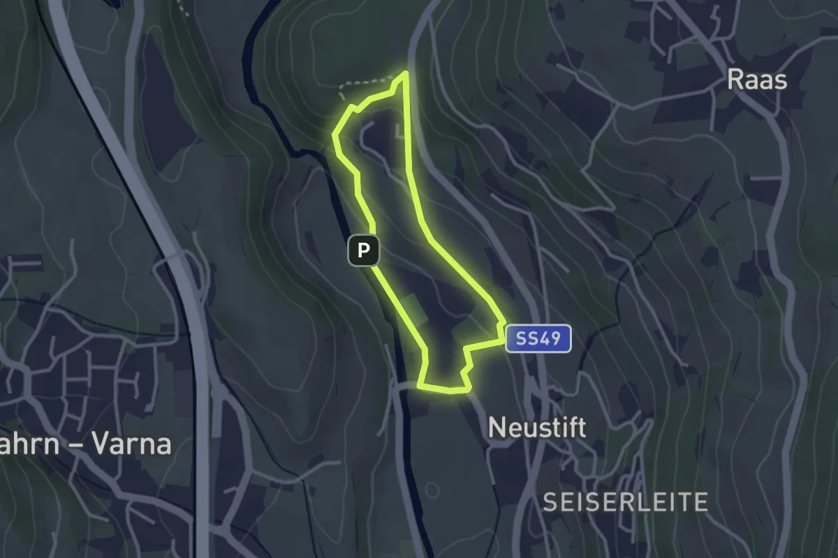
Easy · Trail
Herrnsteig
2.3 km · ↑ 89 m · 47 min · 3 km away
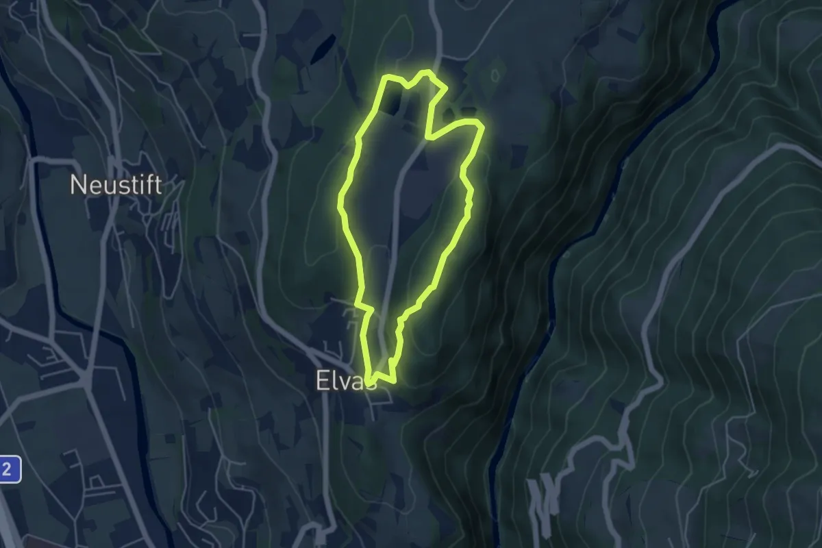
Easy · Summit
Rundweg Laugen Elvas
4.1 km · ↑ 113 m · 1 h 16 min · 3 km away
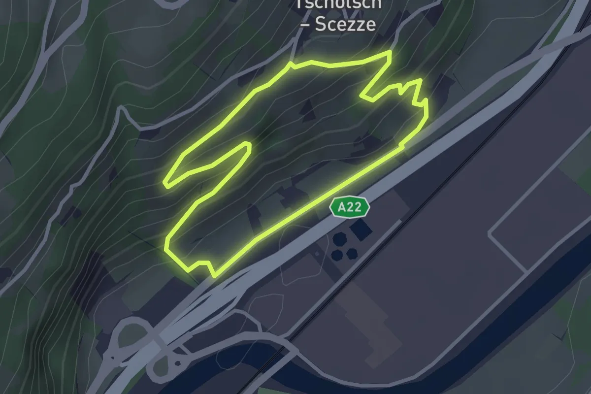
Easy · Trail
Weinweg - Sentiero del vino
2.7 km · ↑ 167 m · 1 h 3 min · 4 km away
Easy · Trail
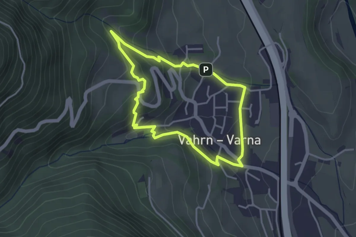
Carl-Toldt-Weg
3.0 km · ↑ 146 m · 1 h 3 min · 4 km away
Easy · Trail
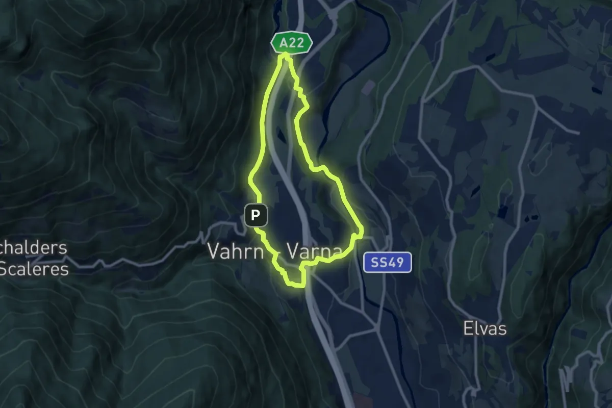
Vahrner Dorfrunde - Giro di Varna
7.0 km · ↑ 203 m · 2 h 12 min · 4 km away
Easy · Trail
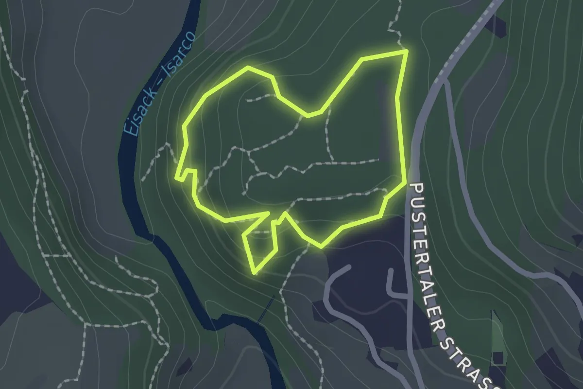
Nössingbühel
1.5 km · ↑ 82 m · 33 min · 4 km away
Easy · Trail
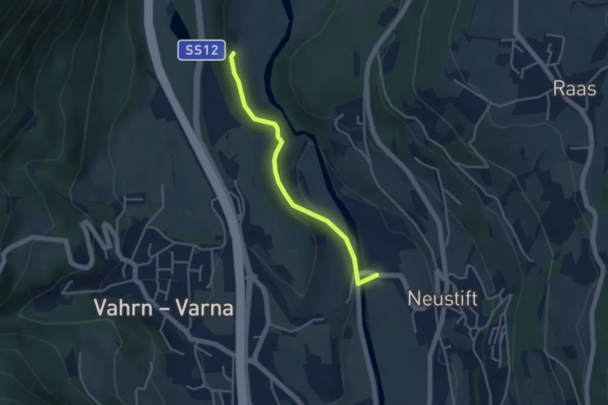
9A - Hartmannsteig
3.0 km · ↑ 91 m · 54 min · 4 km away
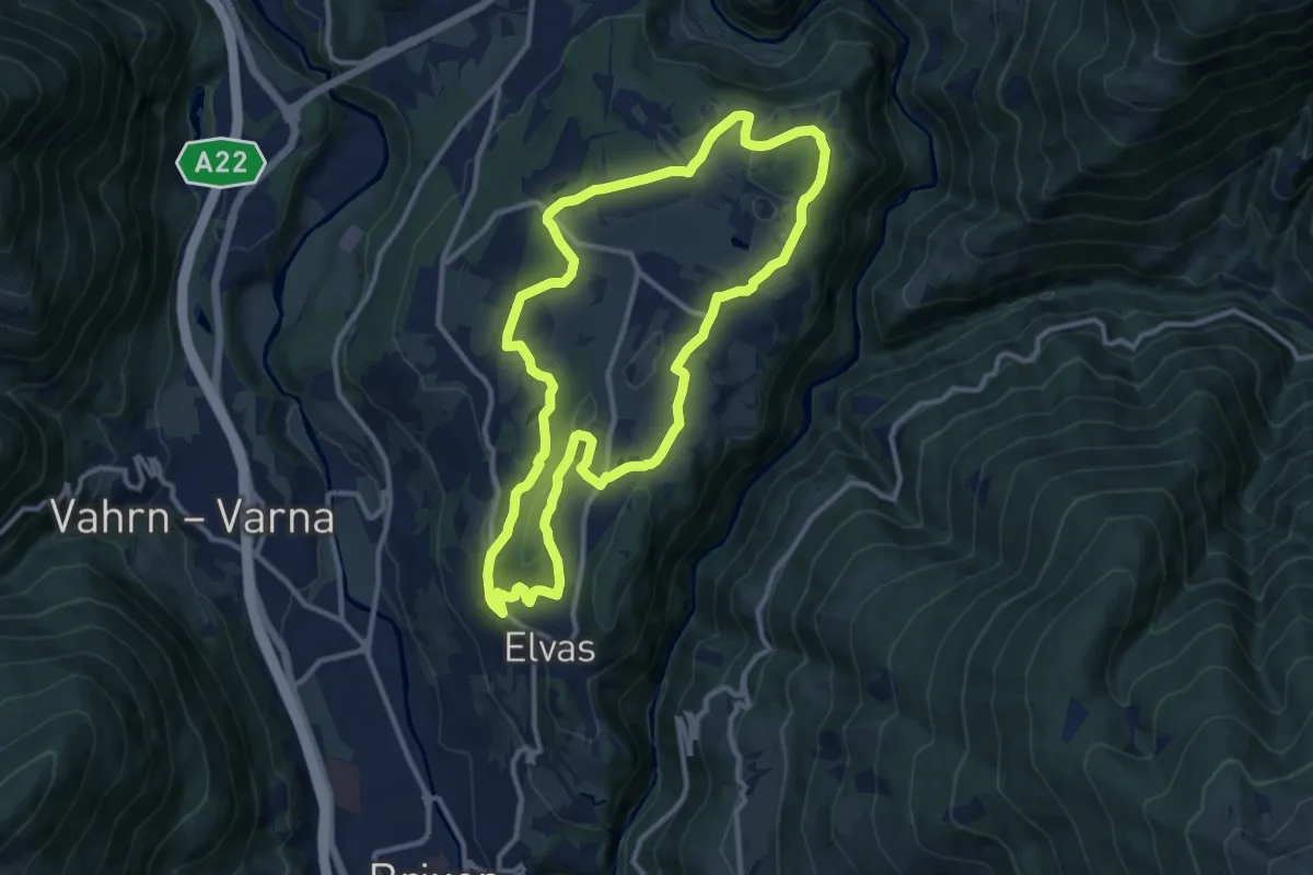
Medium · Trail
Blütenlauf - Corsa della fioritura
11.4 km · ↑ 249 m · 3 h 23 min · 4 km away
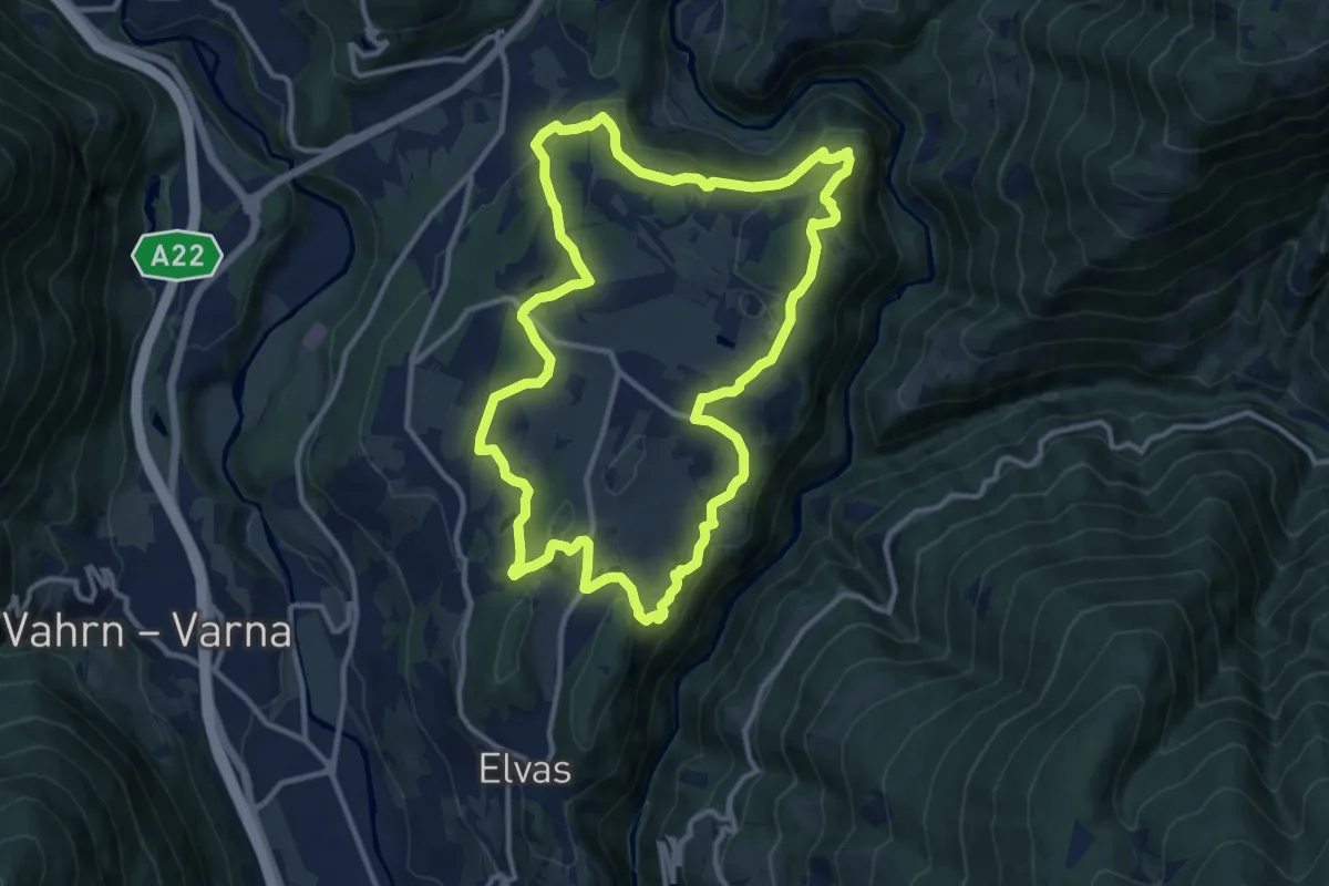
Medium · Trail
Dörferrunde (Natz => Raas => Schabs => Viums)
12.0 km · ↑ 340 m · 3 h 44 min · 4 km away
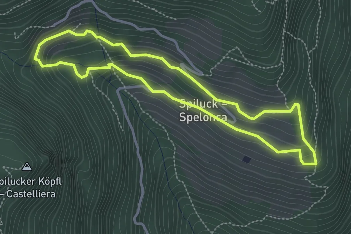
Easy · Trail
Spilucker Rundweg - Sentiero circolare Spelonca
2.7 km · ↑ 166 m · 1 h 1 min · 5 km away
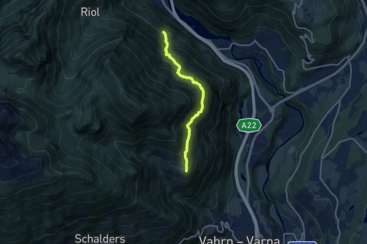
Medium · Trail
3A - Franzensfeste => Schalders
7.5 km · ↑ 765 m · 3 h 25 min · 5 km away
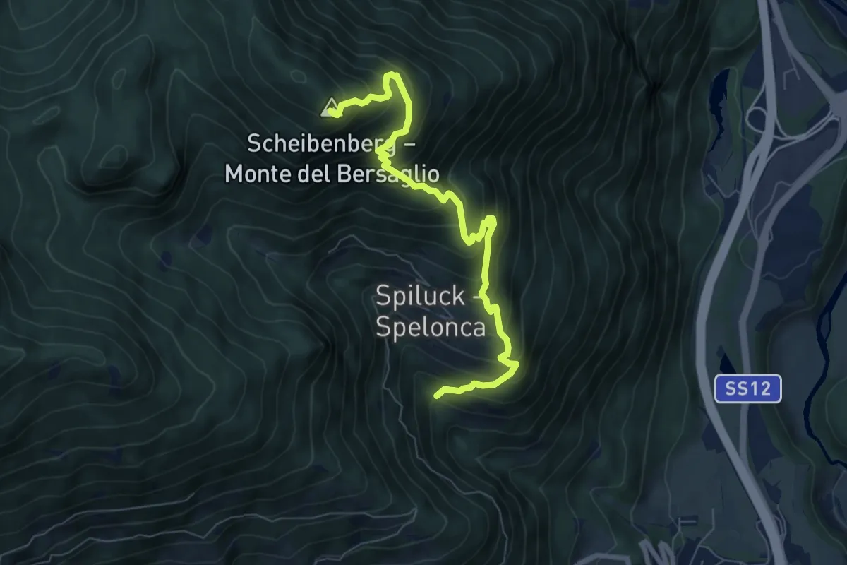
Demanding · Summit
2A - Spiluck => Zirmaitalm
7.3 km · ↑ 867 m · 3 h 36 min · 5 km away
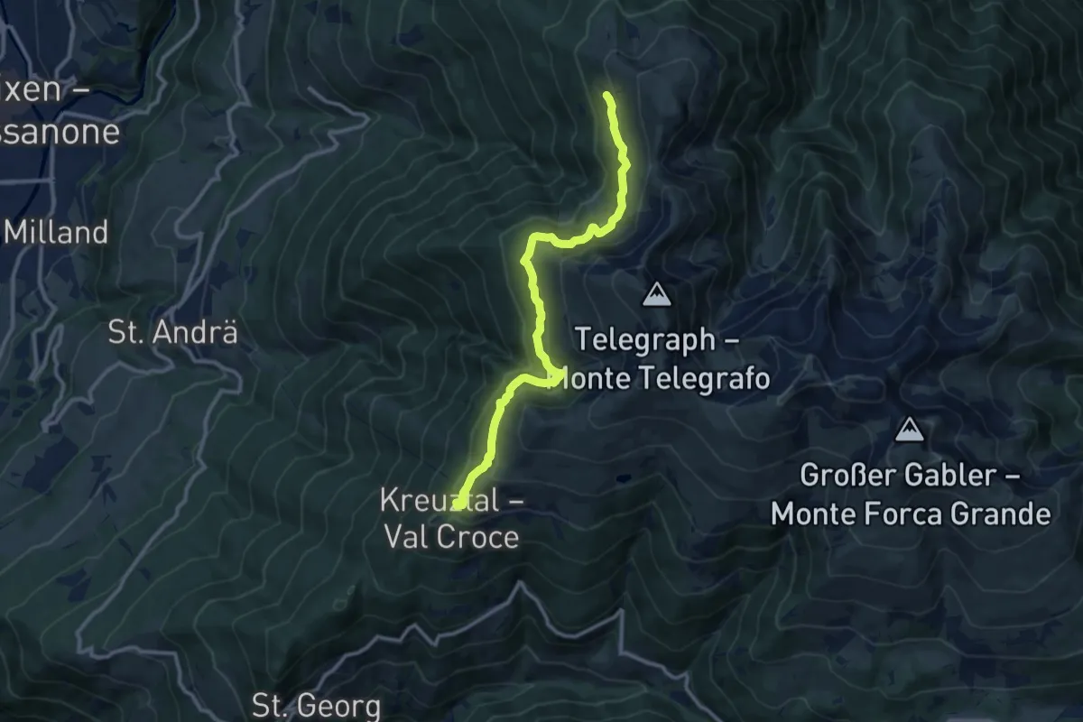
Medium · Trail
Brixener Höhenweg
10.9 km · ↑ 663 m · 4 h · 5 km away
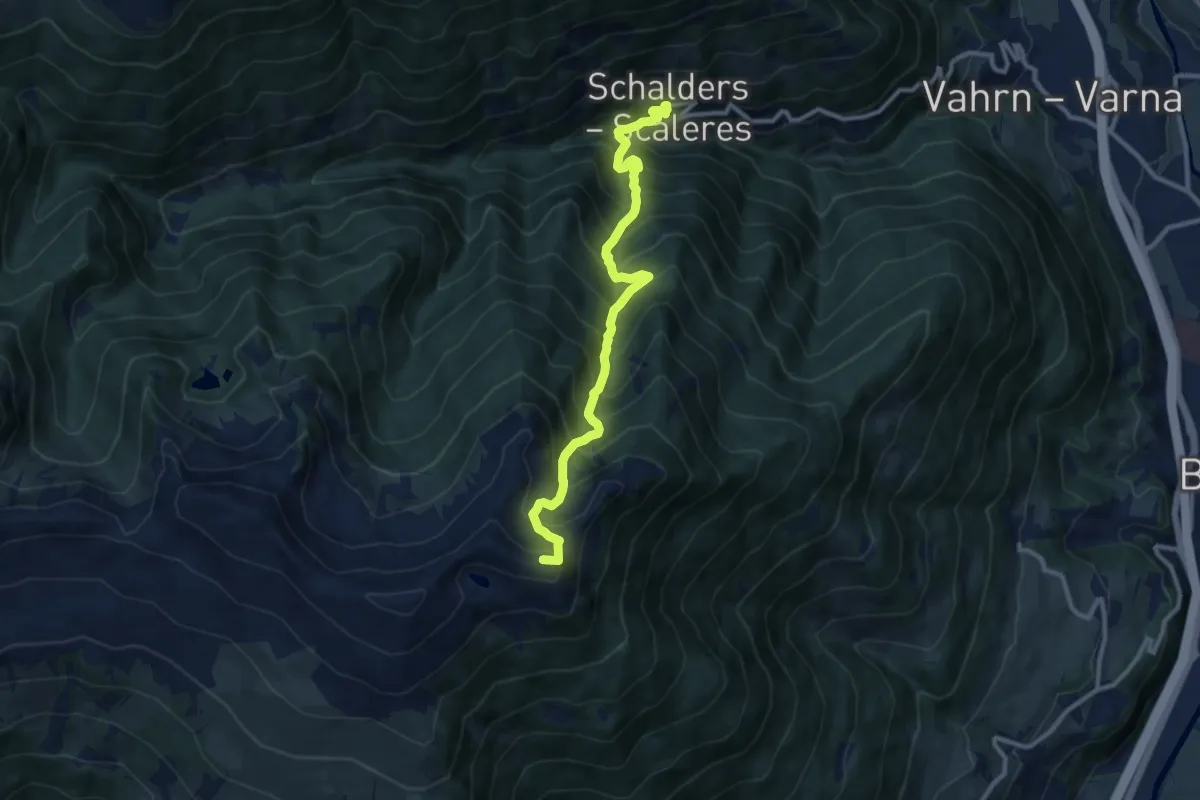
Demanding · Summit
18 - Schalders => Radlseehütte
10.5 km · ↑ 1362 m · 5 h 25 min · 5 km away
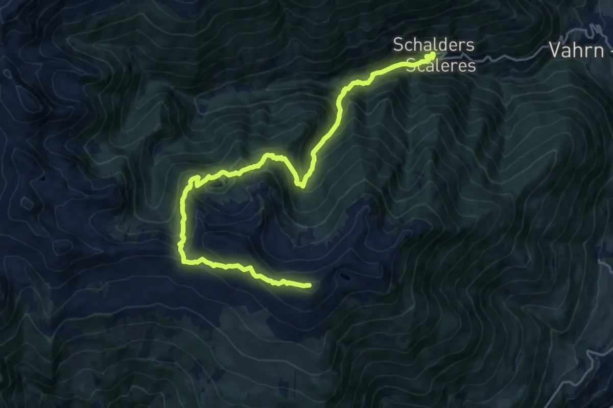
Demanding · Summit
7 - Schalders => Königsanger => Radlseehütte
20.0 km · ↑ 1605 m · 8 h 11 min · 5 km away
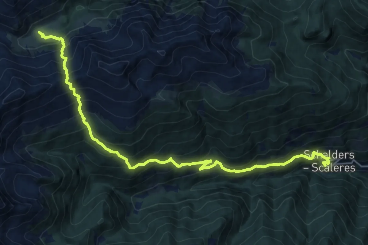
Demanding · Trail
19 - Schalders => Flaggeralm
9.3 km · ↑ 1305 m · 4 h 45 min · 5 km away
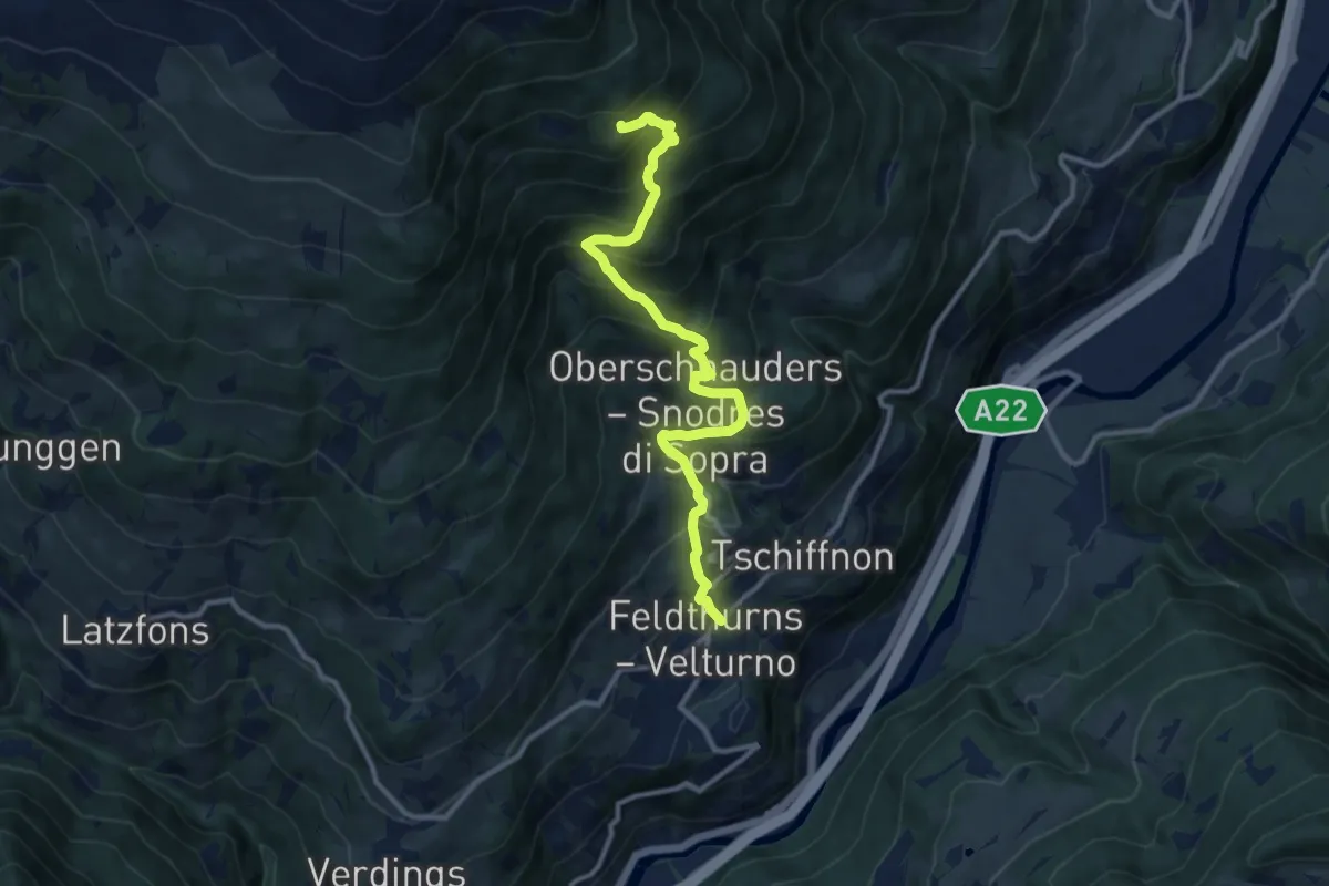
Demanding · Trail
Feldthurns – 8
11.3 km · ↑ 1010 m · 4 h 51 min · 5 km away
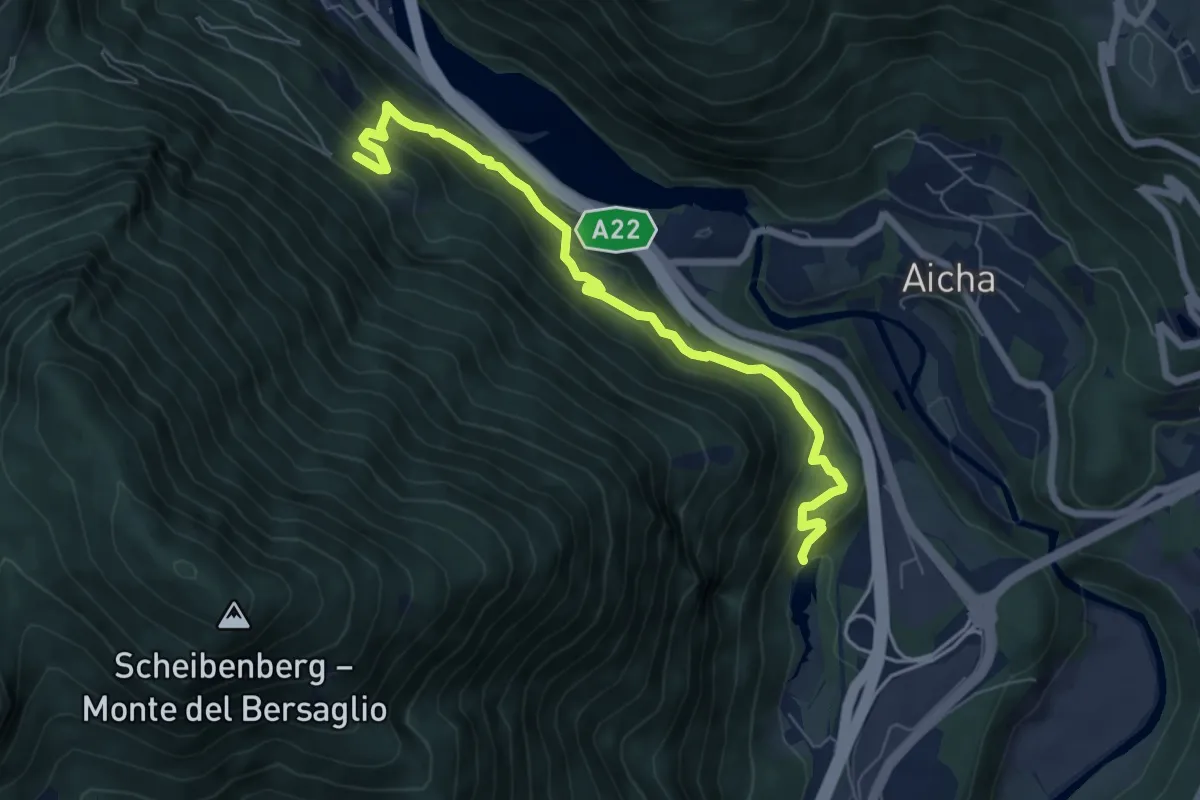
Medium · Trail
3B - Franzensfeste => Vahrner See
6.9 km · ↑ 534 m · 2 h 48 min · 6 km away
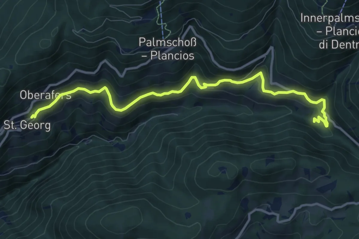
Medium · Trail
Panoramaweg (Afers)
9.6 km · ↑ 427 m · 3 h 12 min · 6 km away
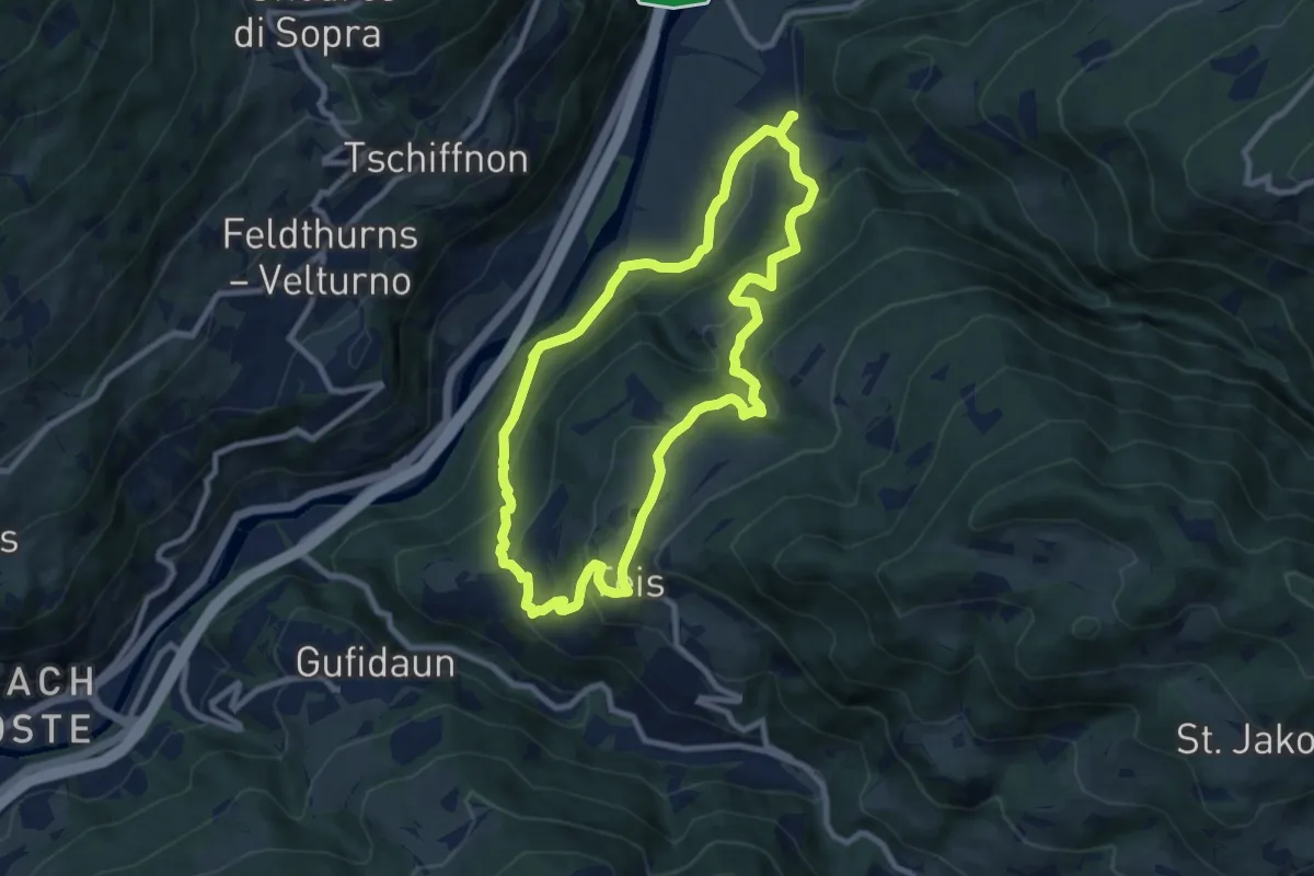
Medium · Trail
Albeins-Teis-Nafen - Albes-Tiso-Nave
8.6 km · ↑ 476 m · 3 h 11 min · 6 km away
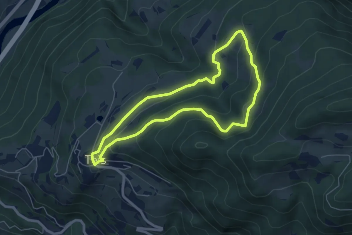
Easy · Trail
7 - Gratschenbergrunde
4.9 km · ↑ 263 m · 1 h 47 min · 6 km away
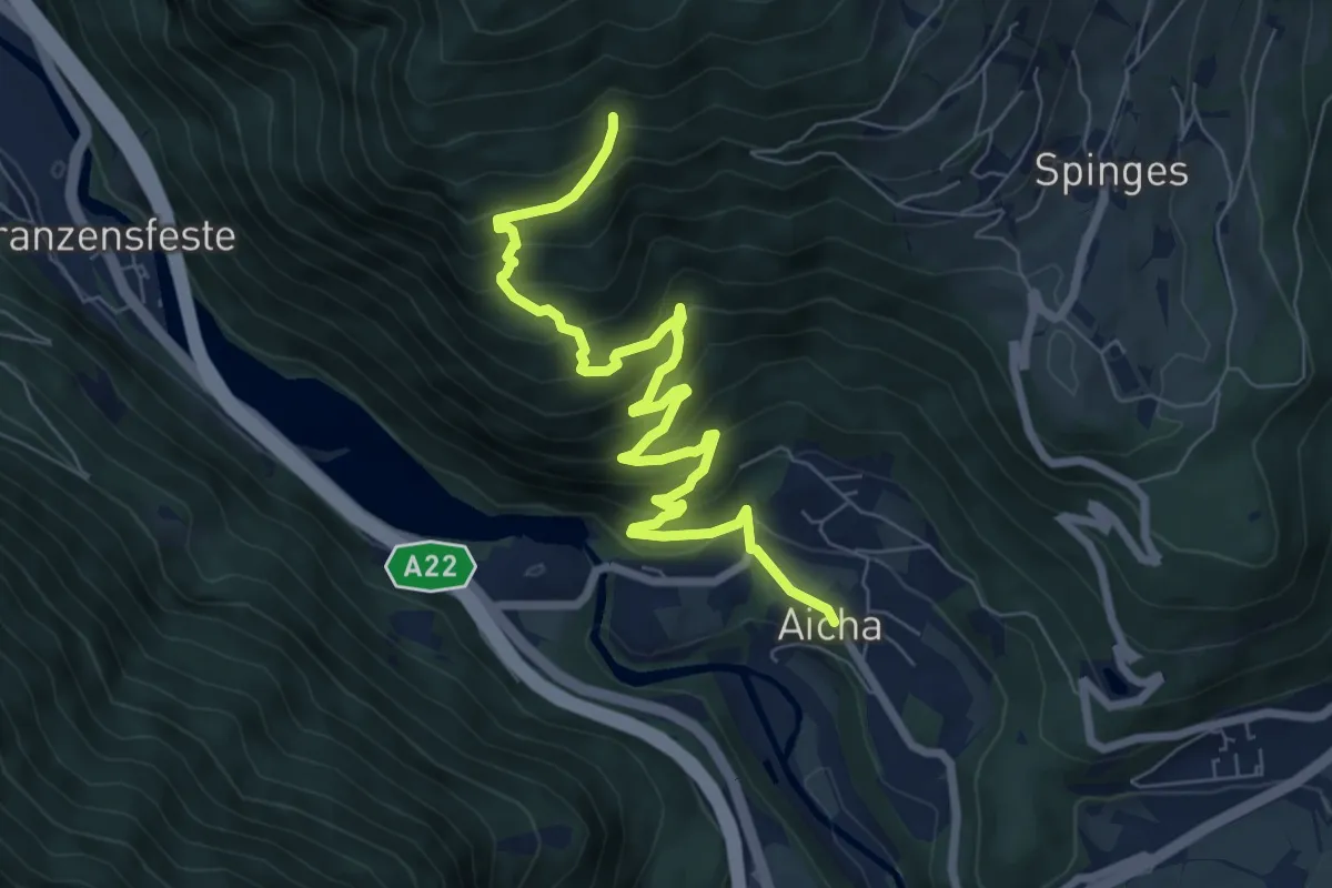
Medium · Trail
7B - Aicha => 7
8.4 km · ↑ 623 m · 3 h 20 min · 7 km away
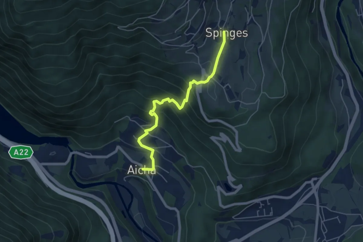
Medium · Trail
7A - Aicha => Spinges
4.9 km · ↑ 391 m · 2 h · 7 km away
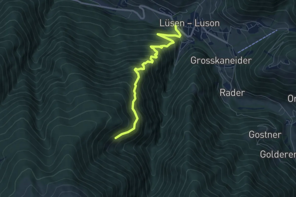
Medium · Trail
3B - Lüsen
7.0 km · ↑ 728 m · 3 h 14 min · 7 km away
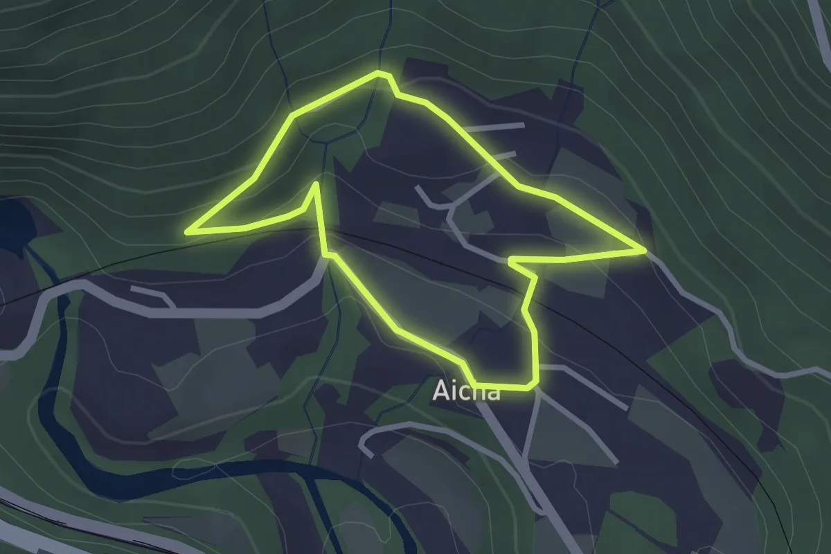
Easy · Trail
Dorfrundweg (Aicha)
2.3 km · ↑ 84 m · 45 min · 7 km away
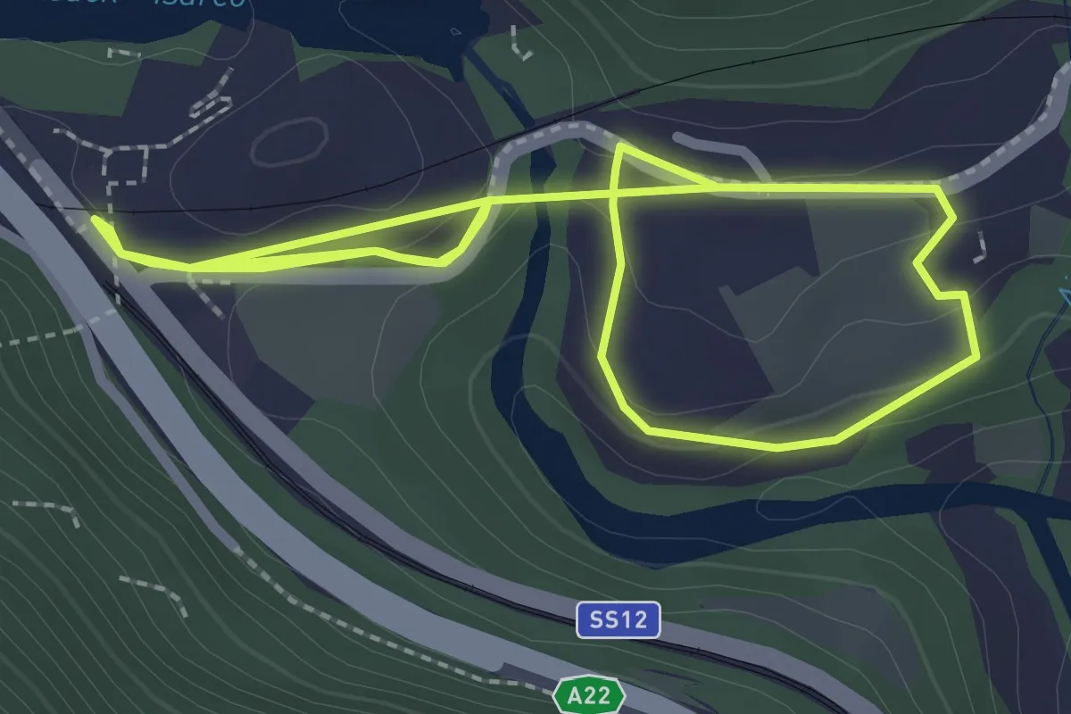
Easy · Trail
BBT-Rundweg
2.2 km · ↑ 63 m · 42 min · 7 km away
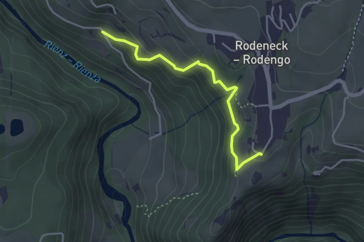
Easy · Trail
11 - Yweinweg
3.1 km · ↑ 219 m · 1 h 12 min · 7 km away