Trails near Brixen - Bressanone
150 hikes starting within 15 km, nearest first.
Nearest first, page 2 of 4
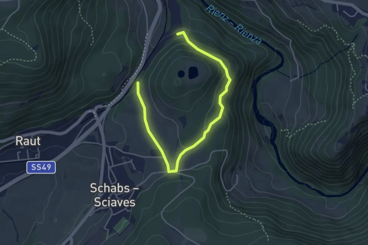
Easy · Trail
Steger-Bühel-Runde
2.1 km · ↑ 84 m · 41 min · 7 km away
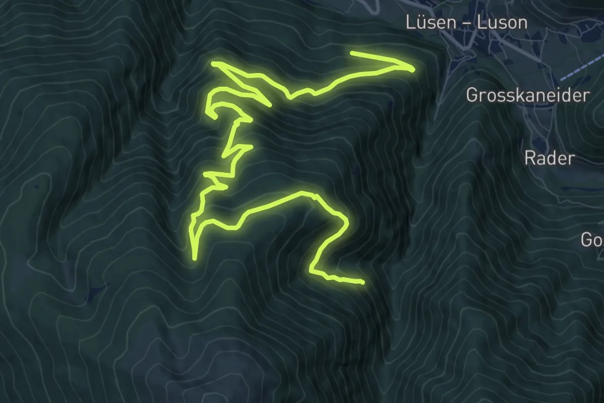
Demanding · Trail
Wanderweg G - Lüsen
18.0 km · ↑ 1290 m · 7 h 3 min · 7 km away
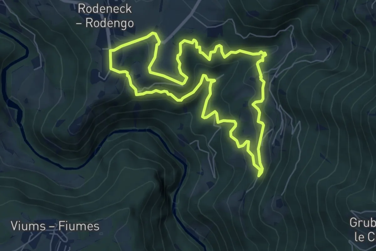
Medium · Trail
Bienenweg
6.3 km · ↑ 378 m · 2 h 23 min · 7 km away
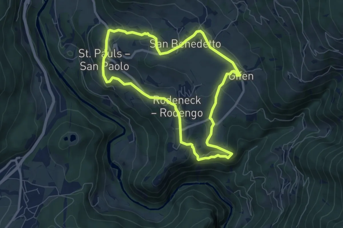
Easy · Trail
Dörferrunde (Vill => St. Pauls => Nauders => Gifen)
6.5 km · ↑ 234 m · 2 h 8 min · 7 km away
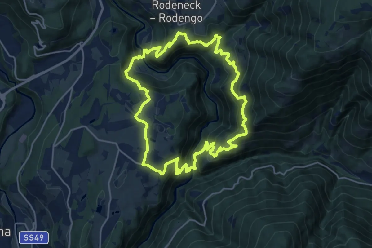
Demanding · Trail
Rundweg Rienzschlucht - Sentiero Gola di Rienza
13.6 km · ↑ 924 m · 5 h 24 min · 7 km away
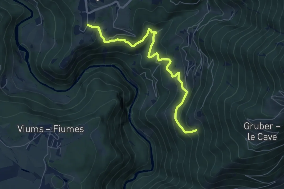
Medium · Trail
6 - Rodeneck => 1
6.4 km · ↑ 503 m · 2 h 36 min · 7 km away
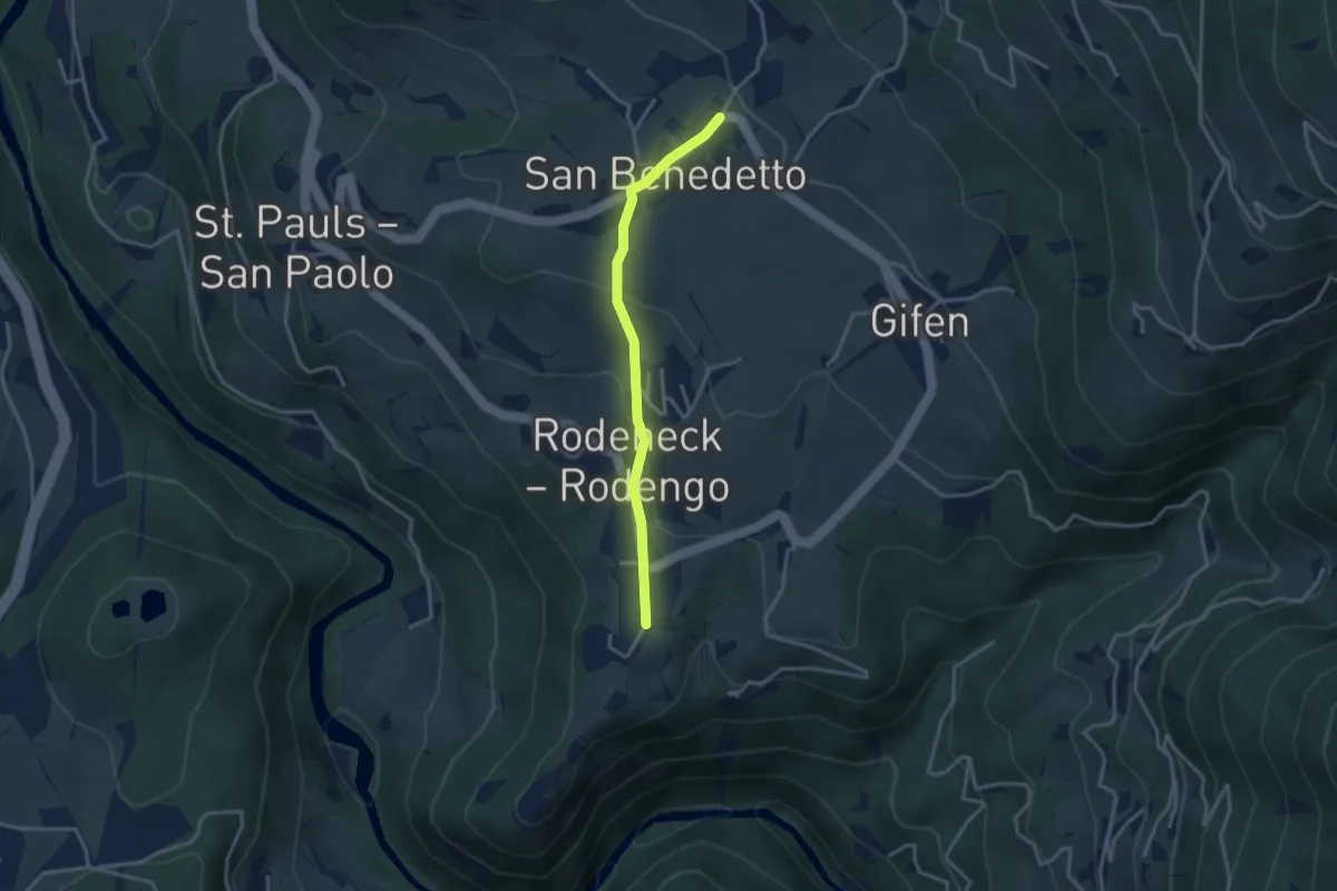
Easy · Trail
Kirchsteig
3.0 km · ↑ 110 m · 57 min · 7 km away
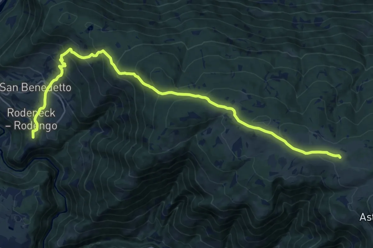
Demanding · Trail
2 - Rodeneck => Starkenfeldhütte
21.0 km · ↑ 1109 m · 7 h 22 min · 7 km away
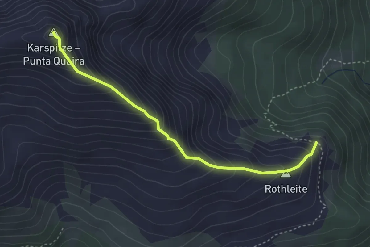
Medium · Summit
Gipfelsteig
3.4 km · ↑ 394 m · 1 h 40 min · 7 km away
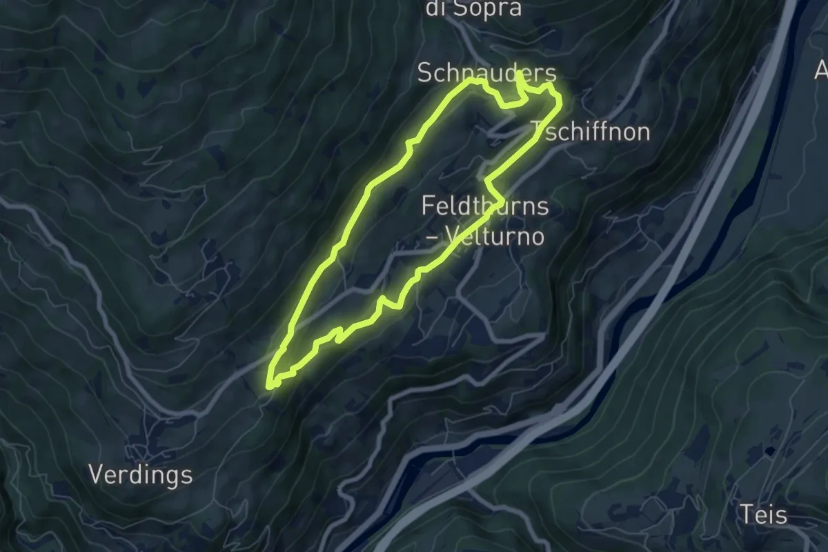
Easy · Trail
Panoramaweg
6.3 km · ↑ 259 m · 2 h 7 min · 7 km away
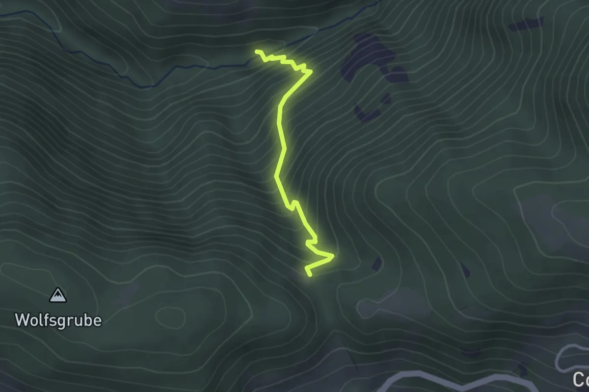
Medium · Trail
Katzenleiter
2.4 km · ↑ 344 m · 1 h 19 min · 7 km away
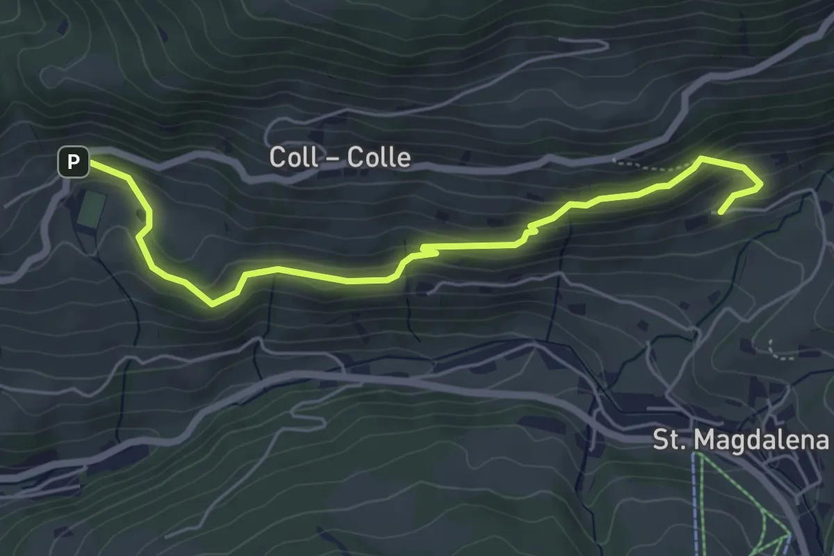
Easy · Trail
Panoramaweg (Villnöß) - Sentiero Panorama (Funes)
5.5 km · ↑ 308 m · 1 h 58 min · 8 km away
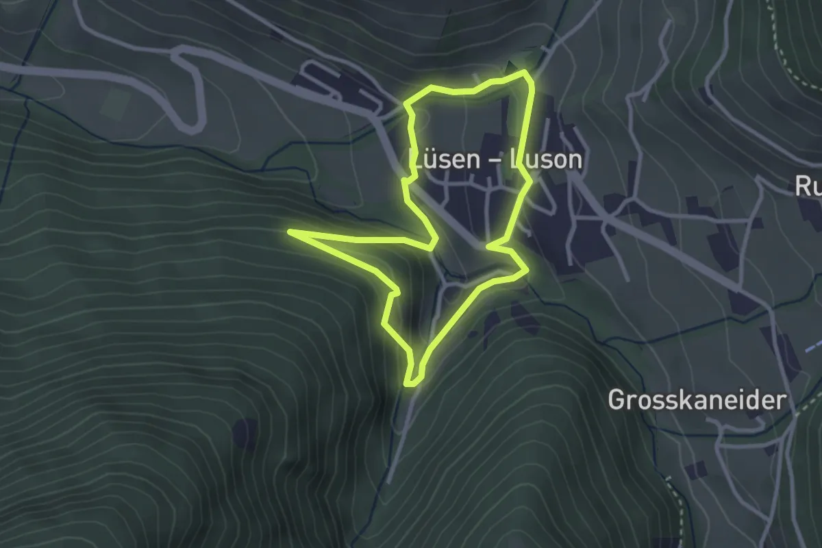
Easy · Trail
Kulturrunde - Culturonda
2.7 km · ↑ 100 m · 53 min · 8 km away
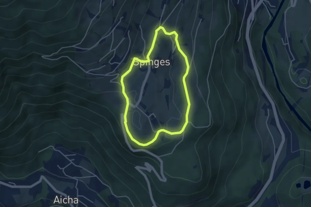
Easy · Trail
Rundweg Spinges
3.2 km · ↑ 124 m · 1 h 4 min · 8 km away
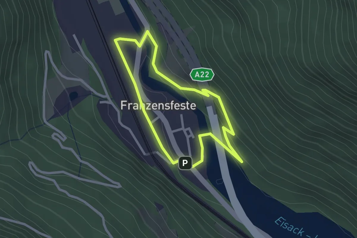
Easy · Trail
Dorfrundweg
2.1 km · ↑ 68 m · 40 min · 8 km away
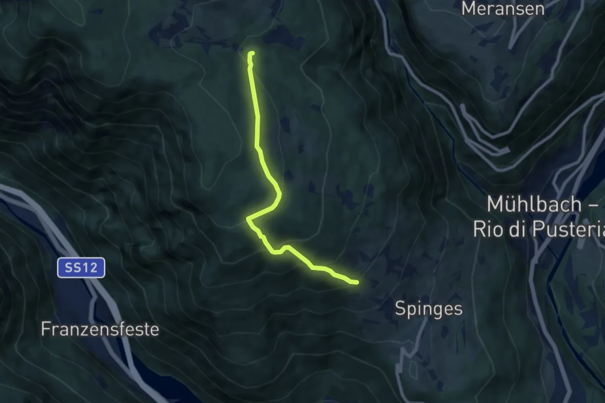
Medium · Trail
5A - Samweg
6.2 km · ↑ 442 m · 2 h 25 min · 8 km away
Medium · Trail
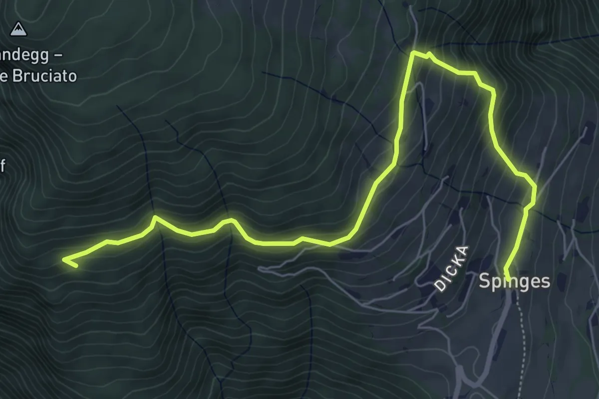
5 - 7 => Spinges
7.2 km · ↑ 496 m · 2 h 47 min · 8 km away
Demanding · Summit
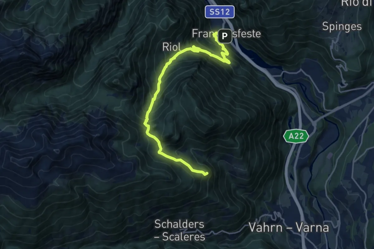
3 - Franzensfeste => Schalders
16.2 km · ↑ 1311 m · 6 h 40 min · 8 km away
Easy · Trail
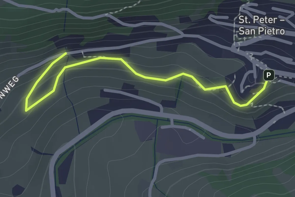
Bühlweg
2.3 km · ↑ 129 m · 49 min · 9 km away
Demanding · Trail
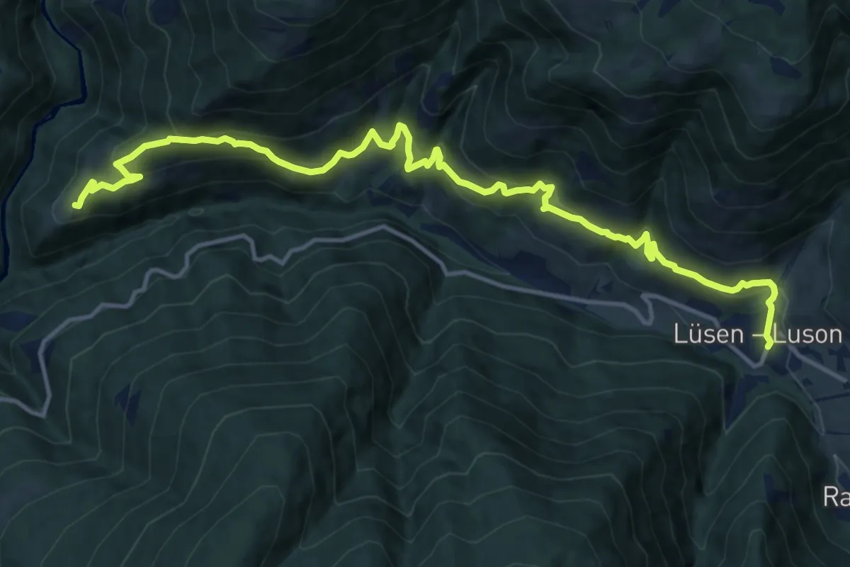
Höfeweg (Lüsen)
15.1 km · ↑ 986 m · 5 h 42 min · 9 km away
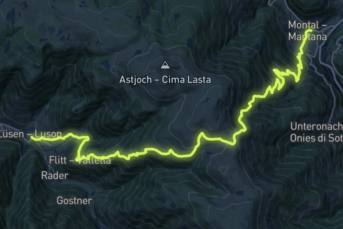
Demanding · Trail
2 - Lüsen => Montal
14.9 km · ↑ 1119 m · 6 h 12 min · 9 km away
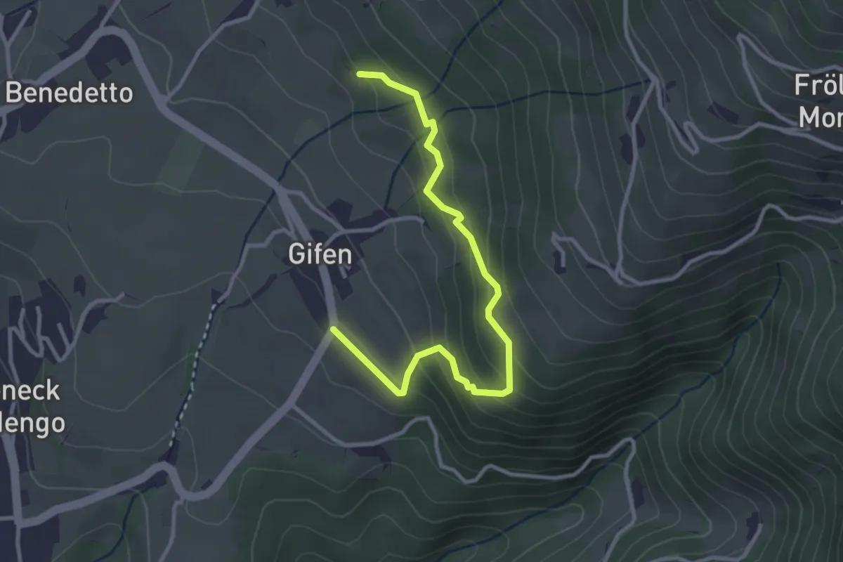
Easy · Trail
Balanceweg
3.3 km · ↑ 242 m · 1 h 18 min · 9 km away
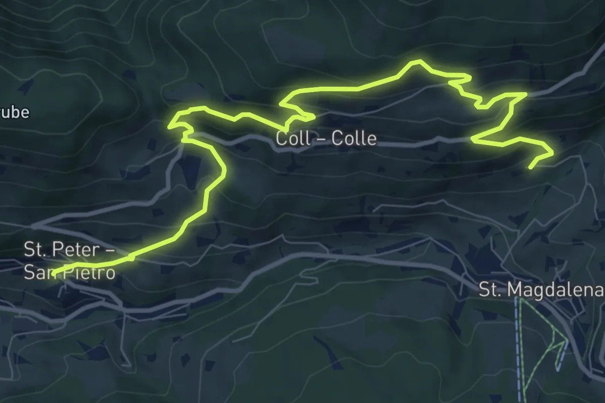
Medium · Trail
Bergbauernweg
11.4 km · ↑ 800 m · 4 h 25 min · 9 km away
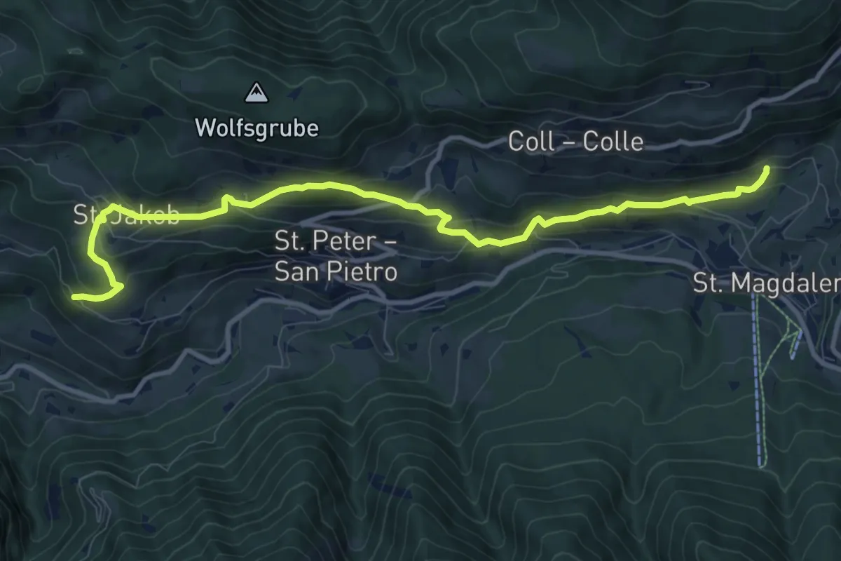
Medium · Trail
Sunnseitenweg
10.7 km · ↑ 610 m · 3 h 51 min · 9 km away
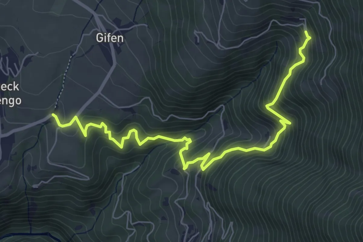
Medium · Trail
5A - Rodeneck => 5
7.3 km · ↑ 576 m · 2 h 58 min · 9 km away
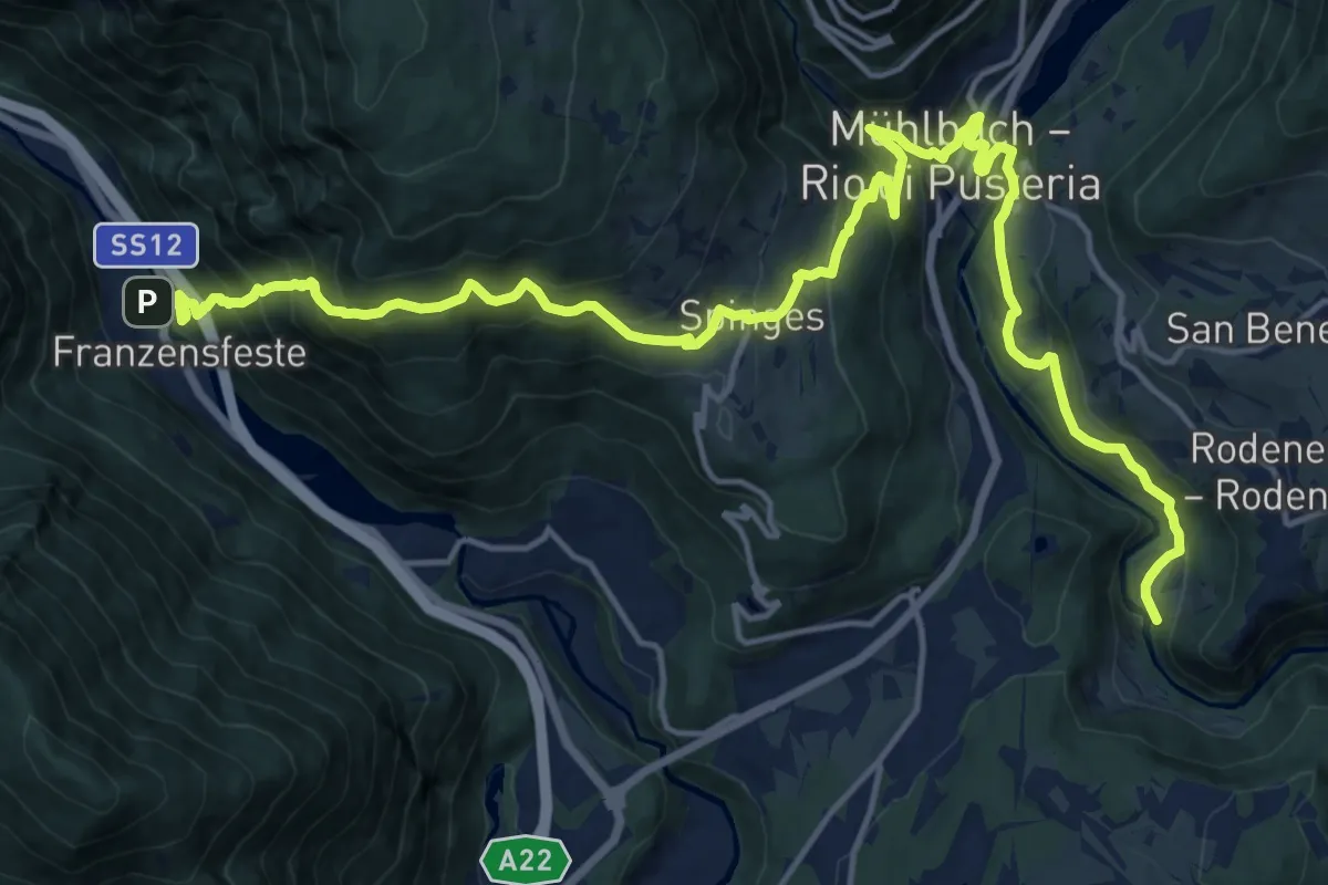
Medium · Trail
7 - Franzensfeste => Mühlbach
10.9 km · ↑ 720 m · 4 h 20 min · 9 km away
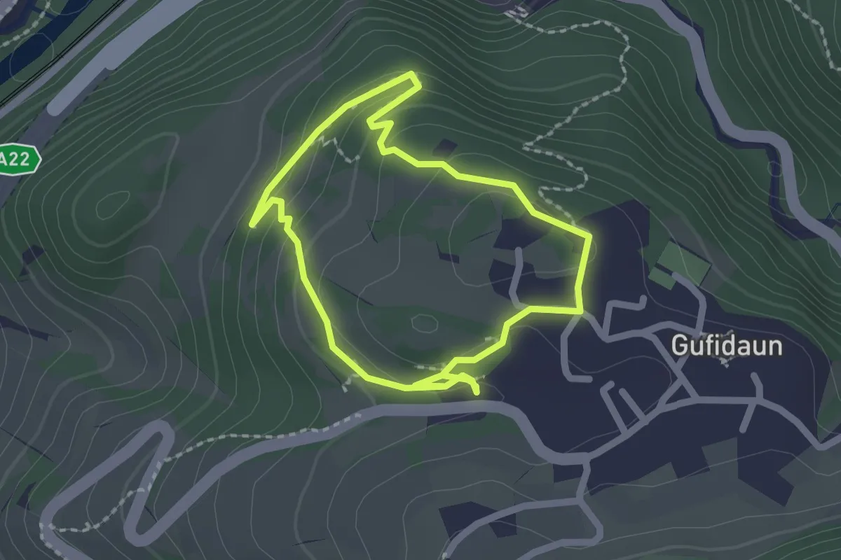
Easy · Trail
1 - Rafeil-Rundweg
1.7 km · ↑ 66 m · 35 min · 9 km away
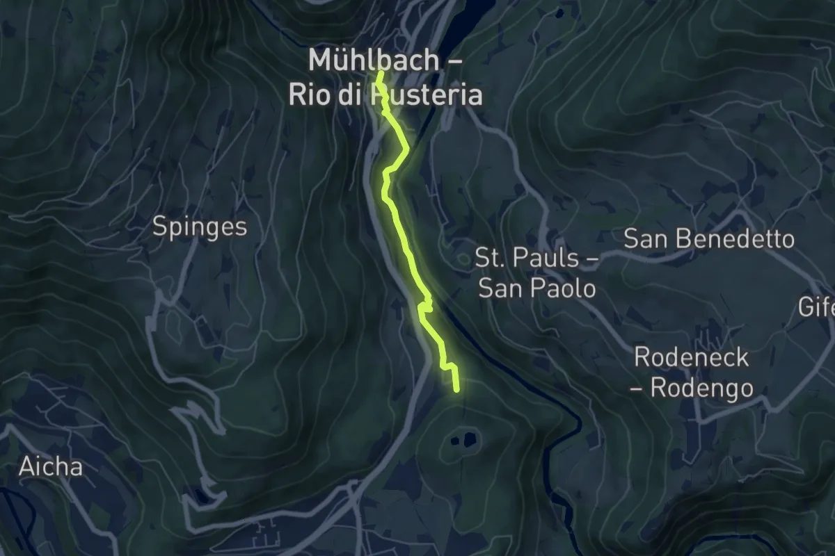
Easy · Trail
Cikilyrweg
4.4 km · ↑ 179 m · 1 h 25 min · 9 km away
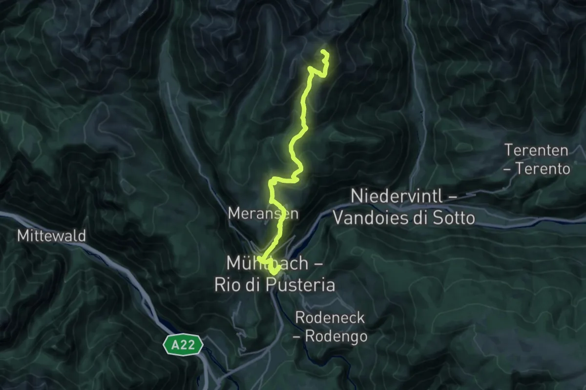
Demanding · Summit
12 - Mühlbach => Pfunders
22.5 km · ↑ 1788 m · 9 h 11 min · 9 km away
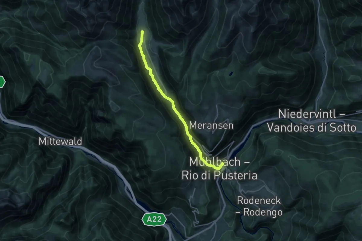
Medium · Trail
Talweg
15.9 km · ↑ 706 m · 5 h 17 min · 9 km away
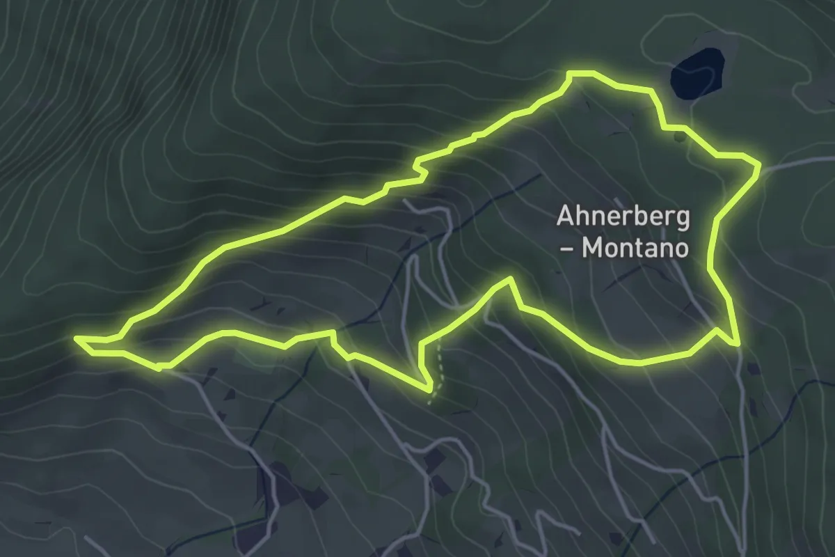
Medium · Trail
Ahnerbergrunde
4.7 km · ↑ 348 m · 1 h 55 min · 9 km away
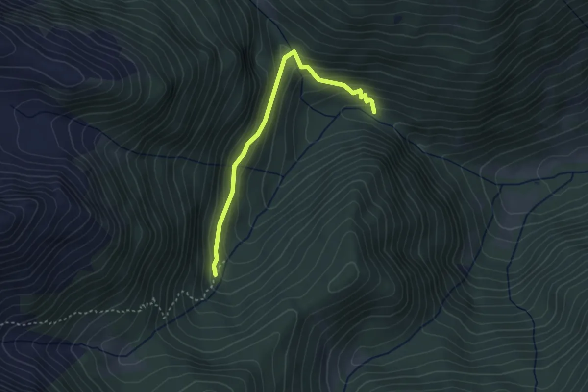
Easy · Trail
Wasserfallweg
3.2 km · ↑ 208 m · 1 h 12 min · 9 km away
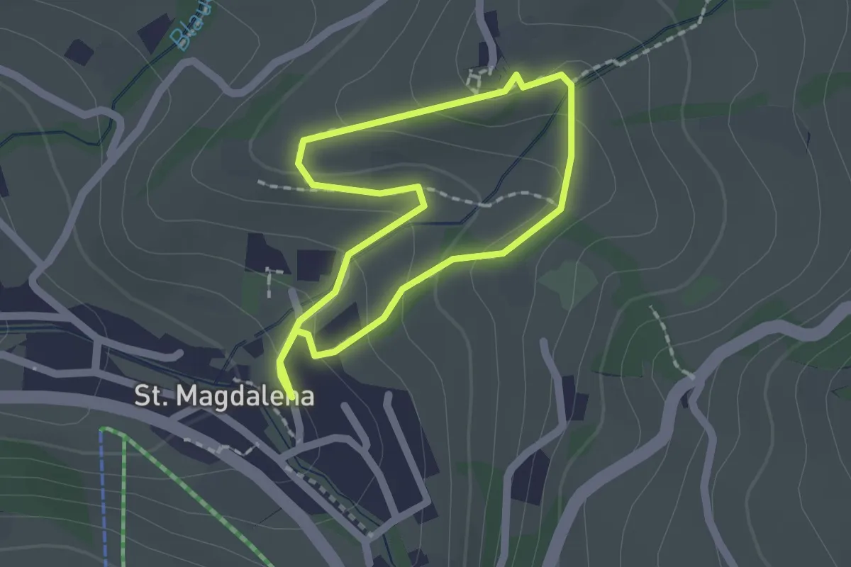
Easy · Trail
Rundweg St. Magdalena
1.5 km · ↑ 67 m · 31 min · 9 km away
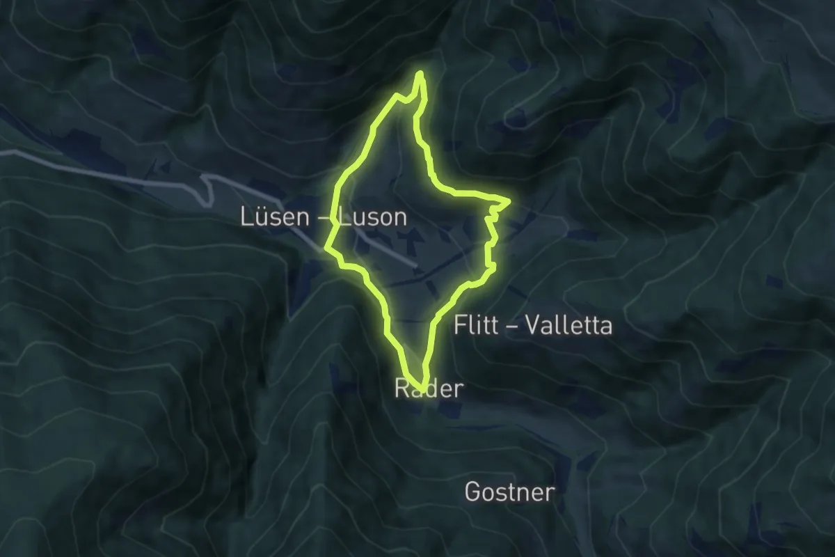
Medium · Trail
Panoramaweg (Lüsen) - Sentiero Panorama (Luson)
5.5 km · ↑ 263 m · 1 h 57 min · 9 km away
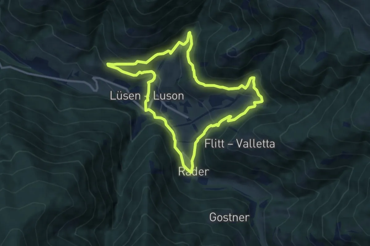
Demanding · Trail
Lüsner Panoramaweg - Giro panoramico di Luson
8.1 km · ↑ 449 m · 3 h · 9 km away
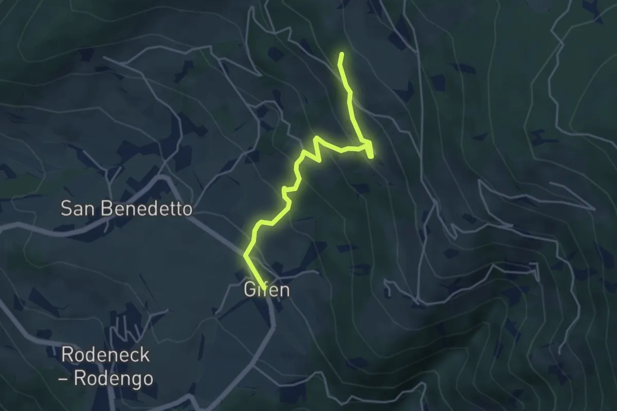
Easy · Trail
2B - Gifen => 2
3.9 km · ↑ 302 m · 1 h 35 min · 9 km away
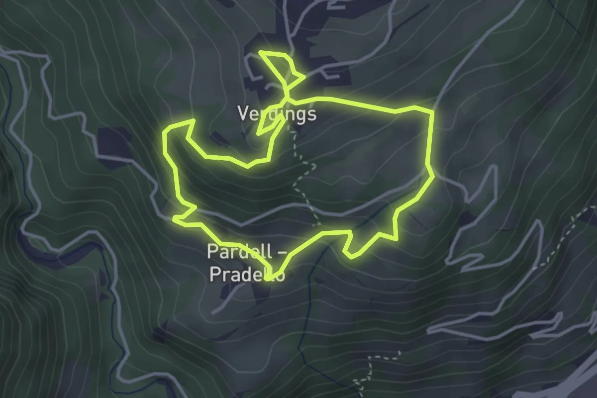
Easy · Trail
Birmehlweg - Sentiero Birmehl
3.3 km · ↑ 214 m · 1 h 17 min · 9 km away
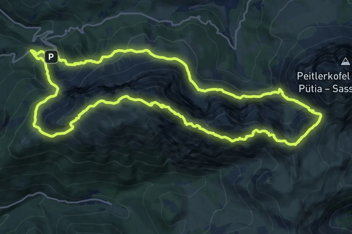
Demanding · Summit
Günther-Messner-Steig
14.9 km · ↑ 1244 m · 6 h 25 min · 10 km away
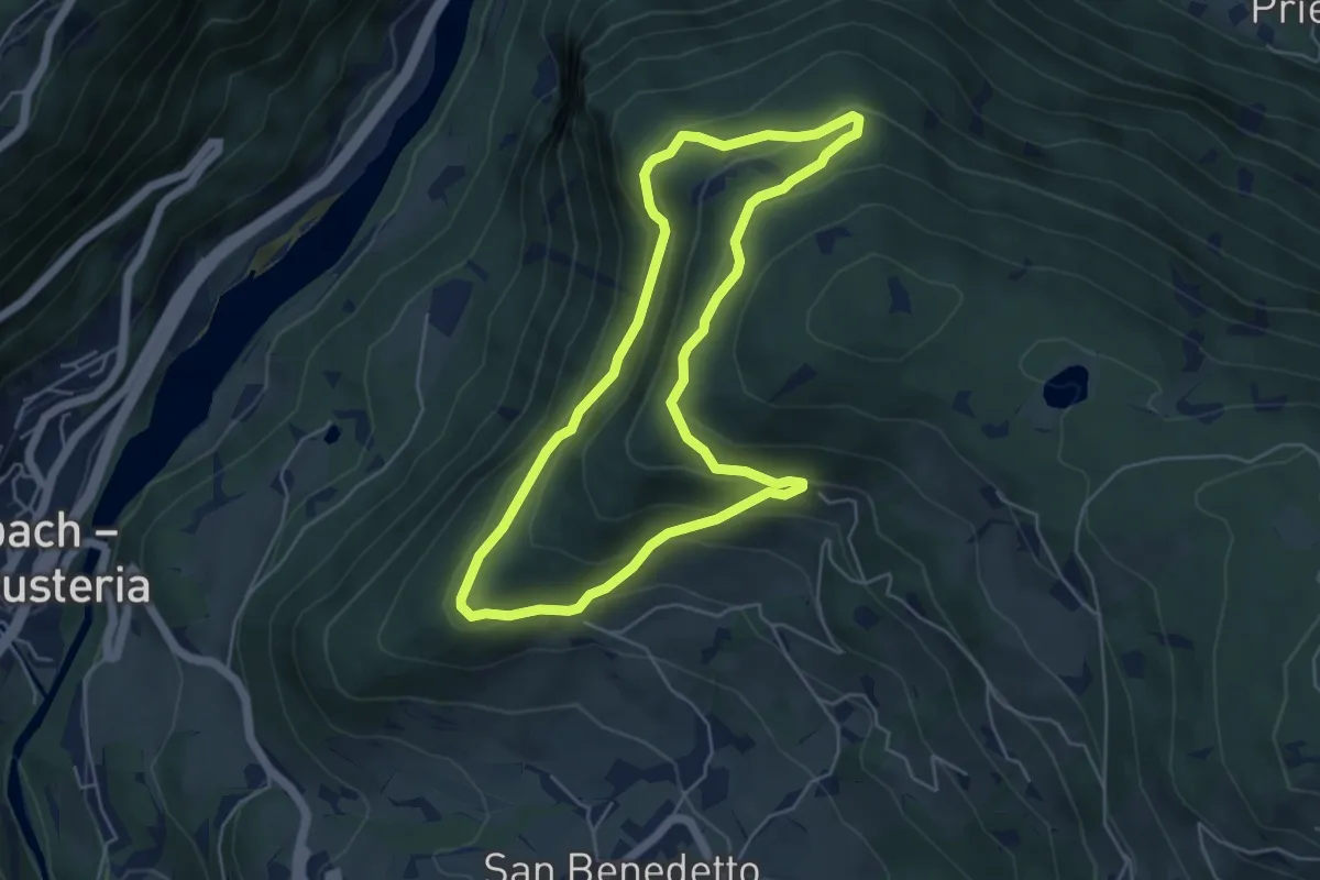
Easy · Trail
Kranterrunde
4.9 km · ↑ 294 m · 1 h 52 min · 10 km away
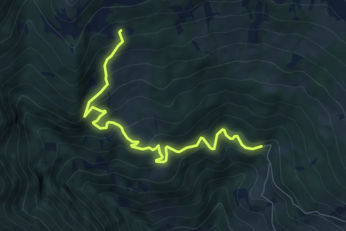
Medium · Cabin
Saltner Saege – Rifugio Chiusa
7.5 km · ↑ 612 m · 3 h 5 min · 10 km away
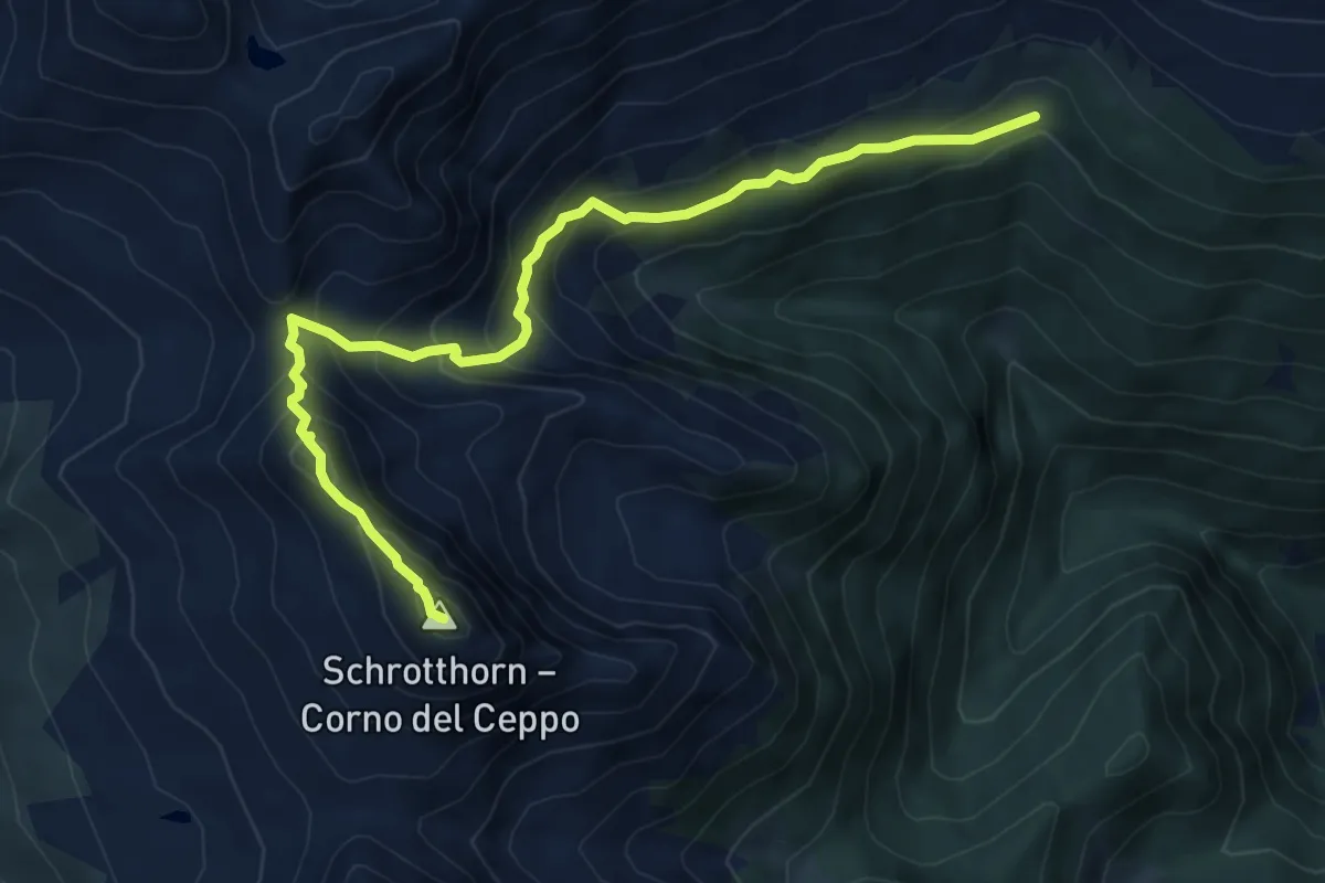
Demanding · Summit
4B - Pfannscharte => Schalderer Scharter
7.7 km · ↑ 661 m · 3 h 15 min · 10 km away
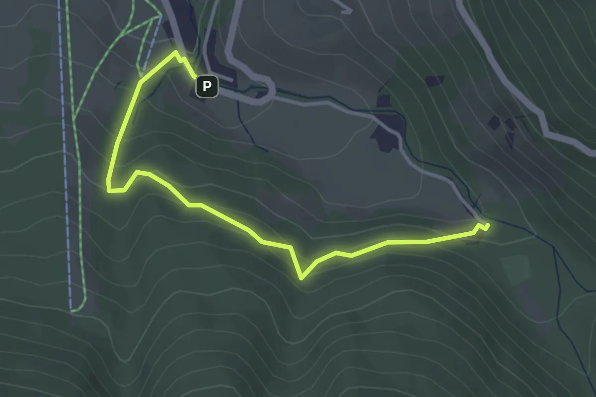
Easy · Trail
Rungg
3.6 km · ↑ 217 m · 1 h 19 min · 10 km away
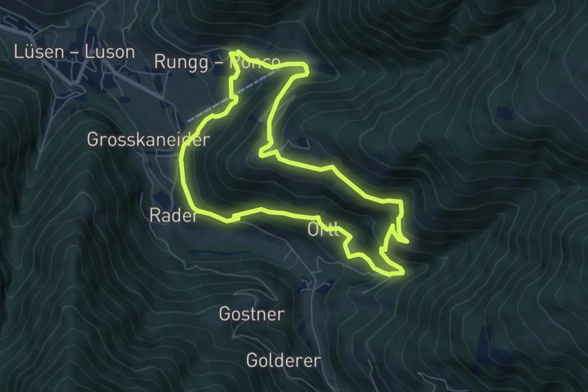
Demanding · Trail
Flittrunde
6.4 km · ↑ 435 m · 2 h 33 min · 10 km away
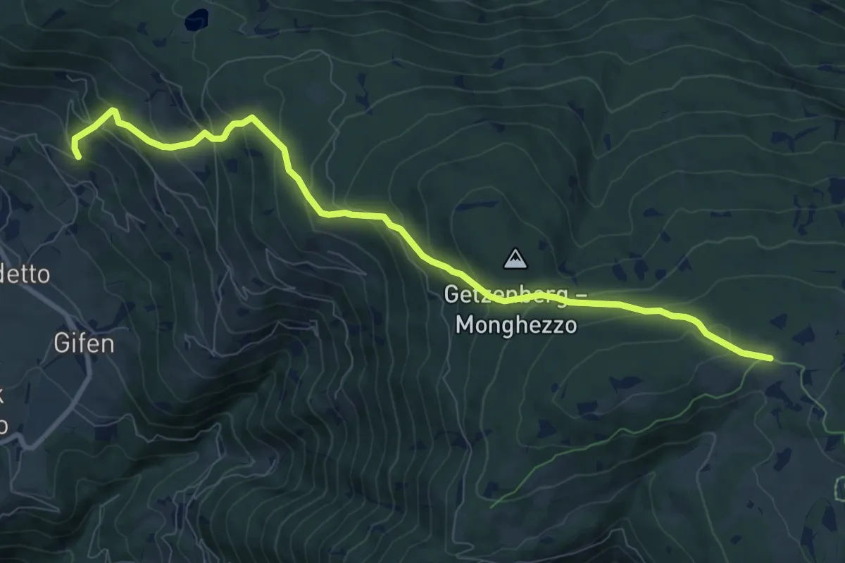
Medium · Trail
Almweg
9.6 km · ↑ 739 m · 3 h 52 min · 10 km away
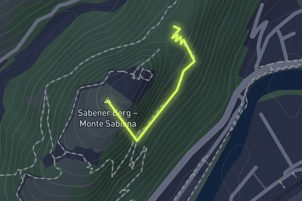
Easy · Summit
Säbener Promenade - Passeggiata Sabiona
1.0 km · ↑ 78 m · 24 min · 10 km away
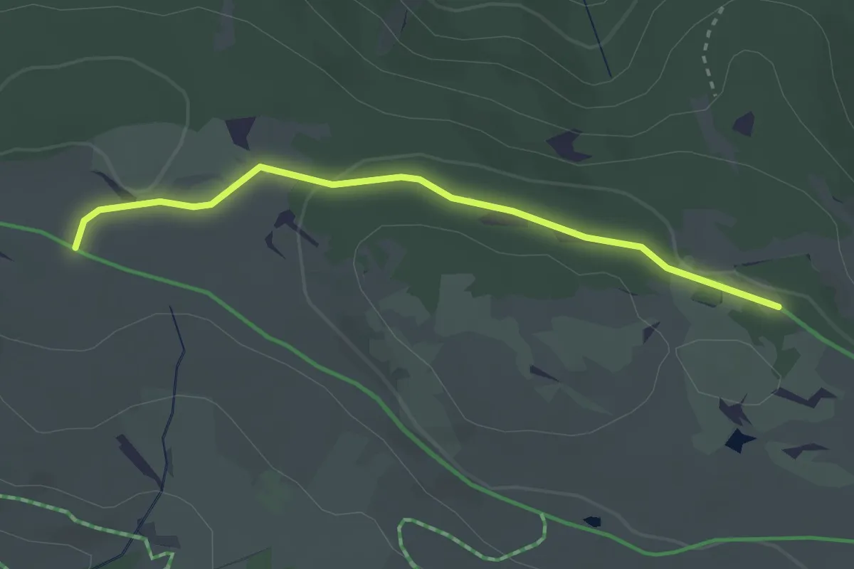
Easy · Trail
Wanderroute 68B
2.9 km · ↑ 36 m · 45 min · 11 km away
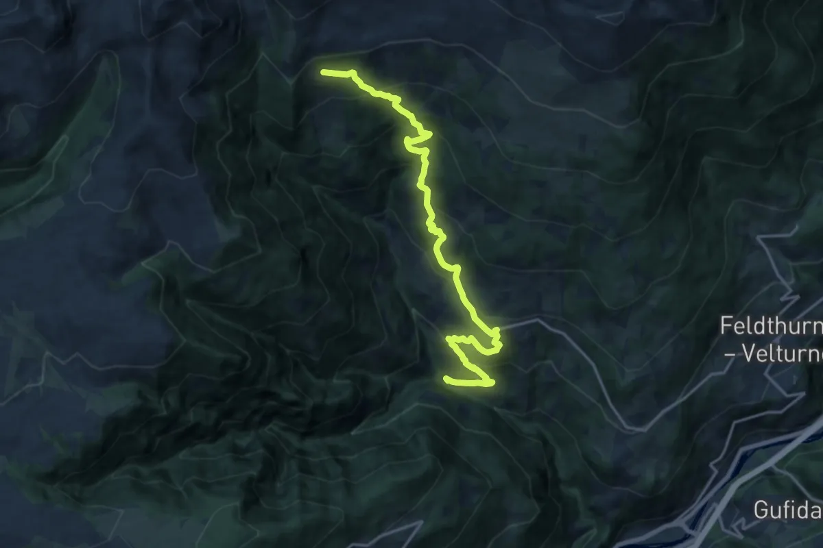
Demanding · Cabin
Mühlele – Rifugio Chiusa
16.5 km · ↑ 1176 m · 6 h 26 min · 11 km away
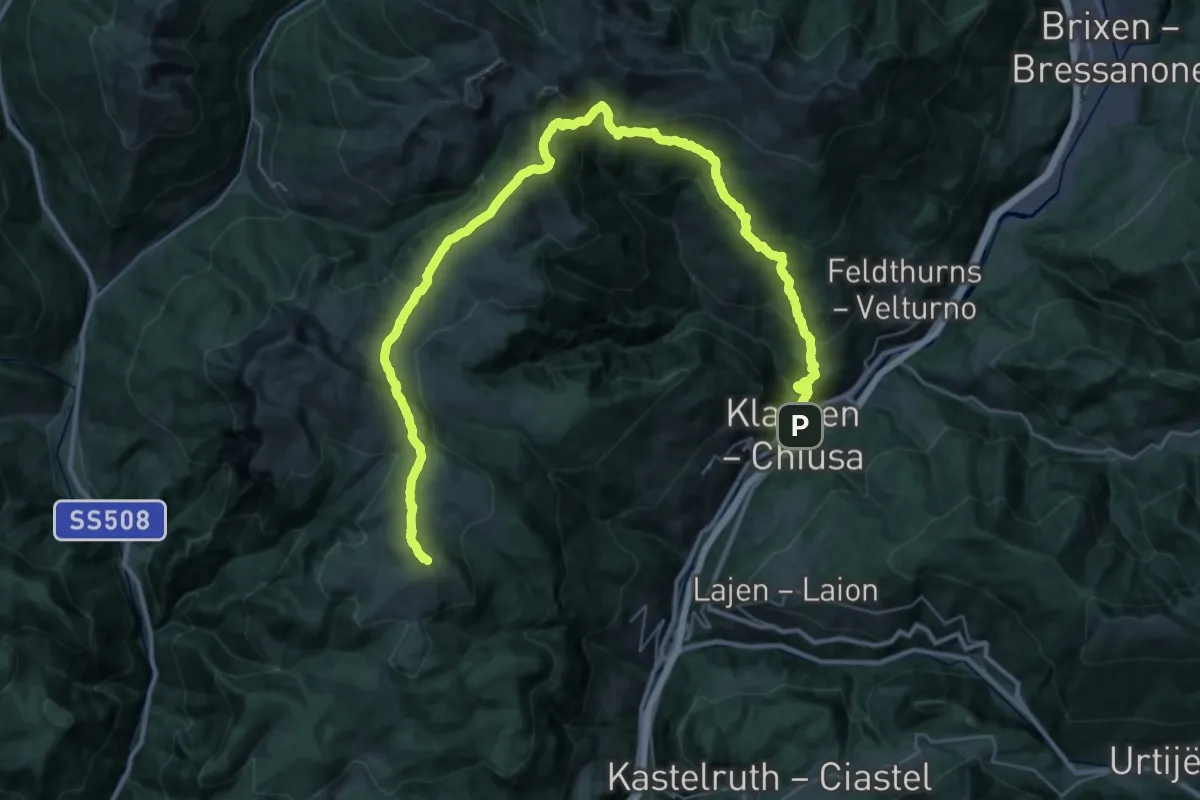
Demanding · Summit
Chiusa – Corno del Renon
51.0 km · ↑ 2841 m · 18 h 12 min · 11 km away