Trails near Brixen - Bressanone
150 hikes starting within 15 km, nearest first.
Nearest first, page 3 of 4
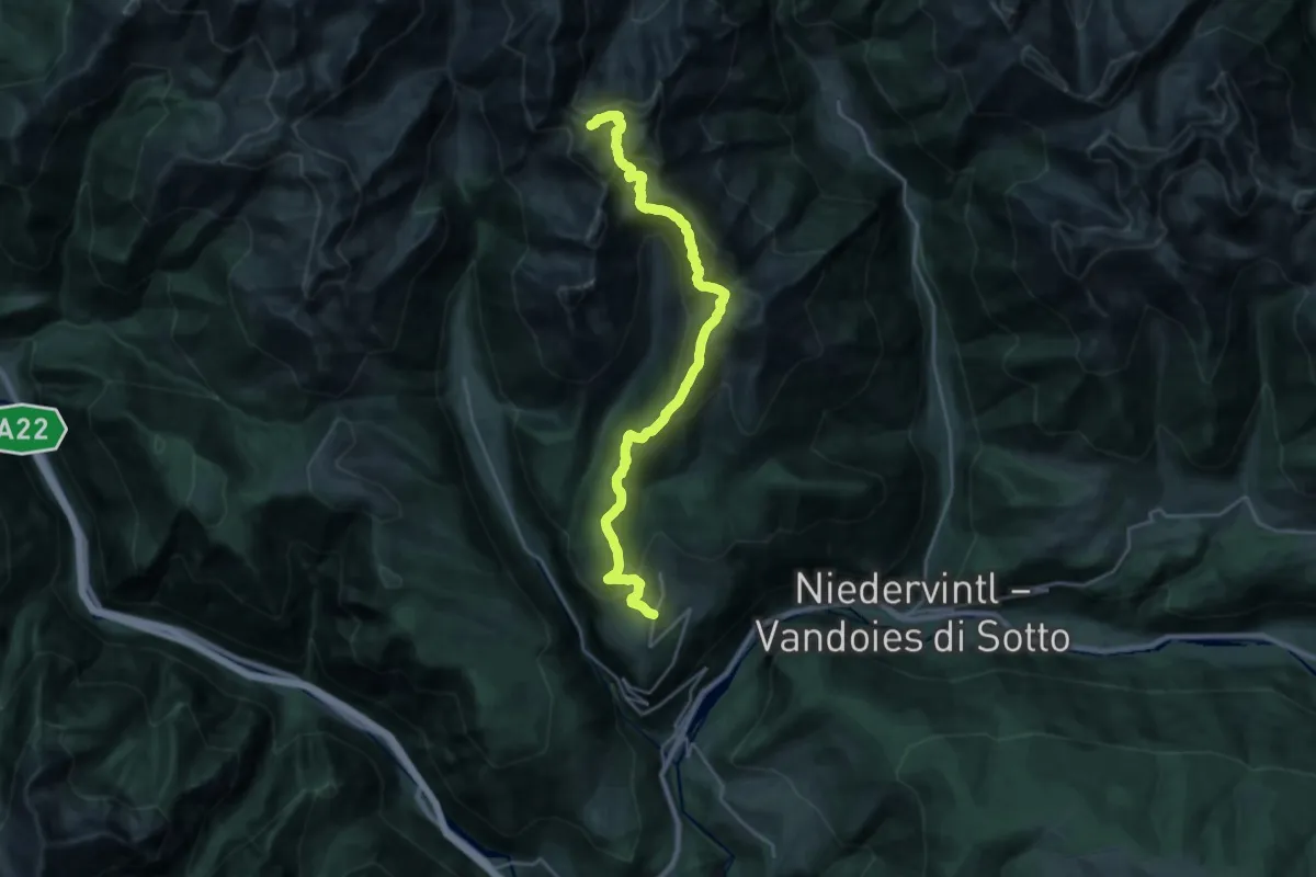
Demanding · Summit
6 - Meransen => Pfunders
24.6 km · ↑ 1762 m · 9 h 38 min · 11 km away
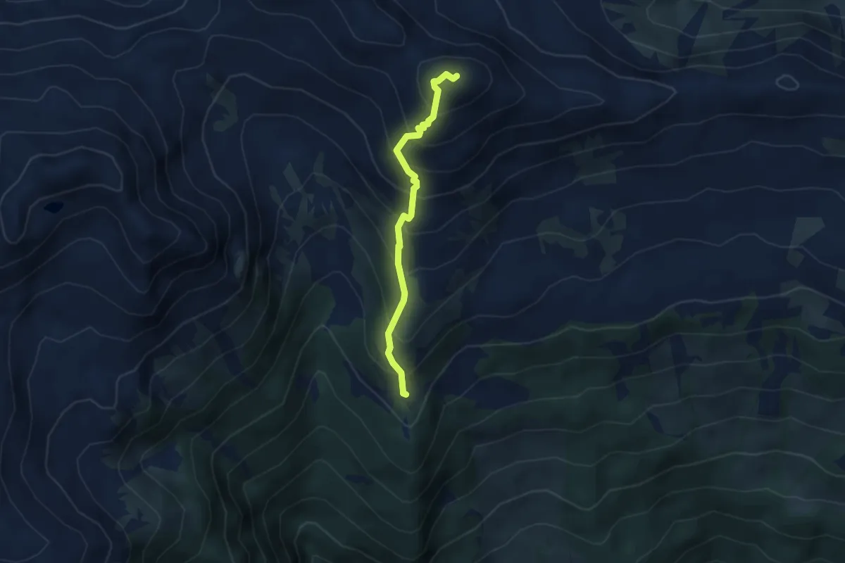
Medium · Summit
12 - Lorenzen
3.6 km · ↑ 416 m · 1 h 45 min · 11 km away
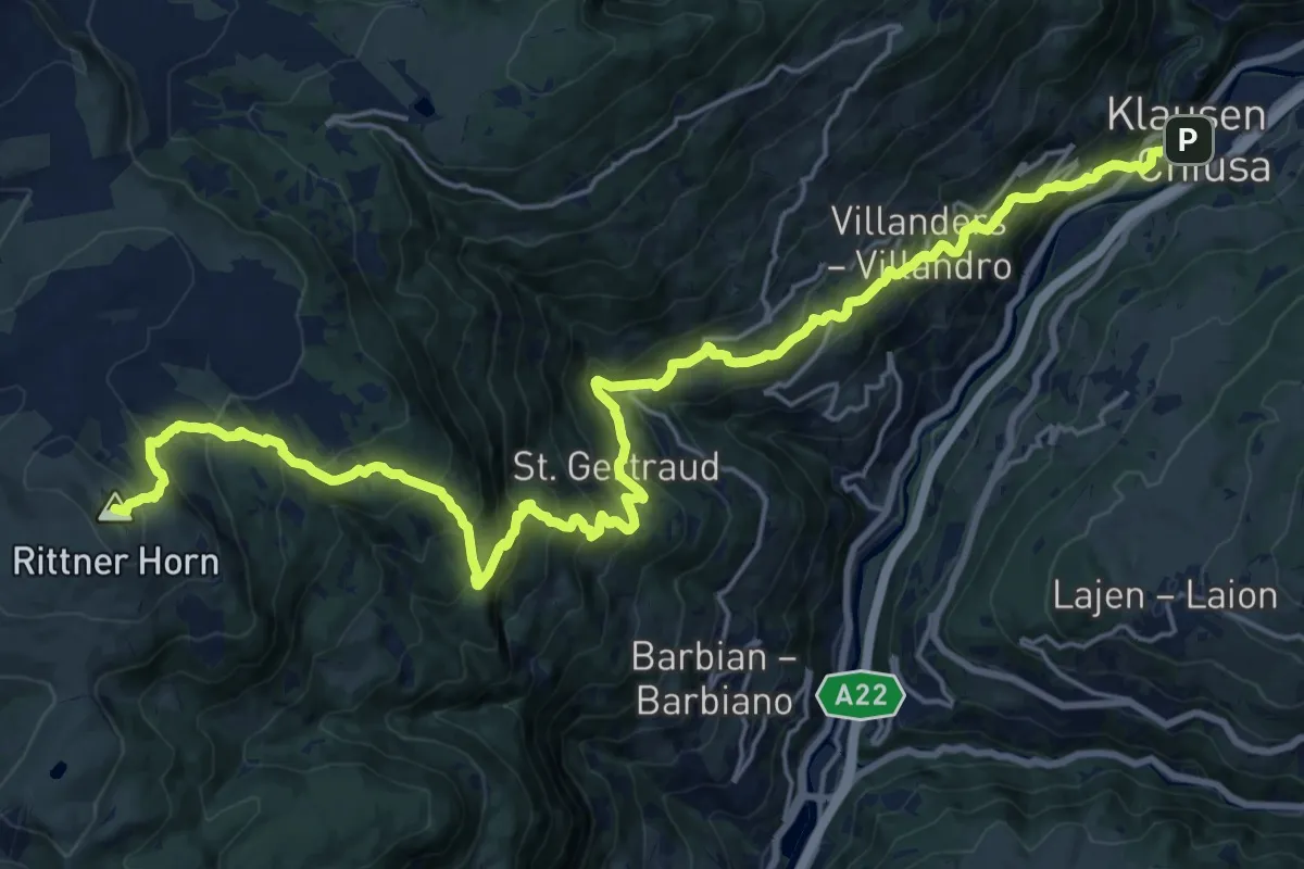
Demanding · Summit
Chiusa – Rifugio Corno del Renon
26.5 km · ↑ 1887 m · 10 h 21 min · 11 km away
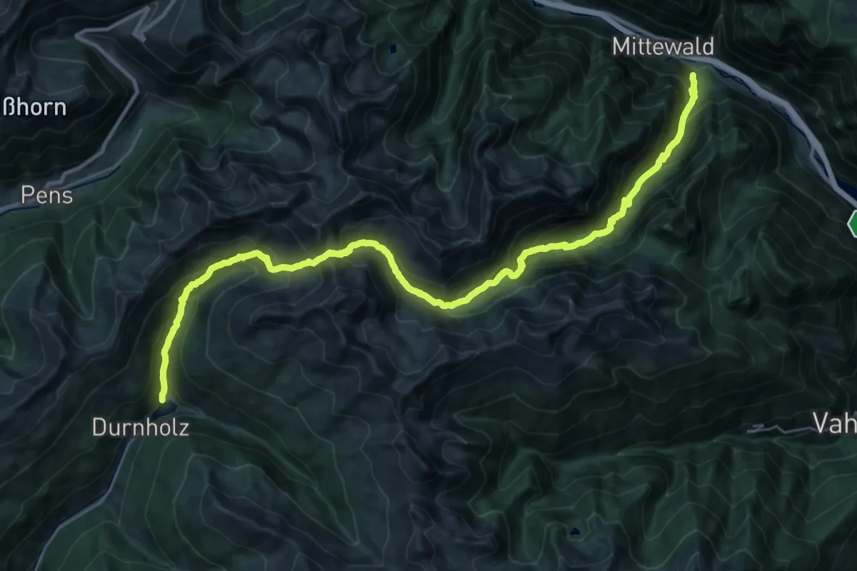
Demanding · Trail
16 - Durnholz => Flaggerscharte => Mittewald
17.1 km · ↑ 1719 m · 7 h 39 min · 11 km away
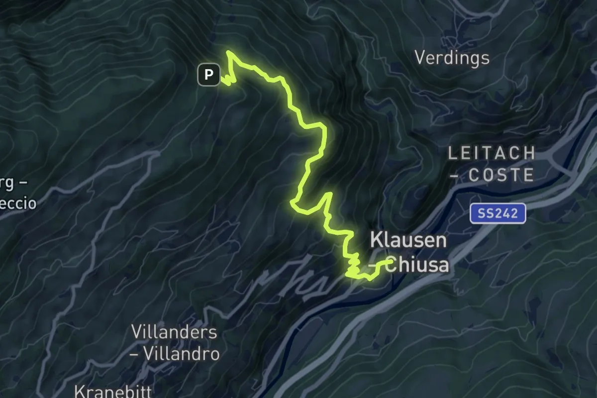
Demanding · Trail
Erzweg
9.8 km · ↑ 825 m · 4 h 6 min · 11 km away
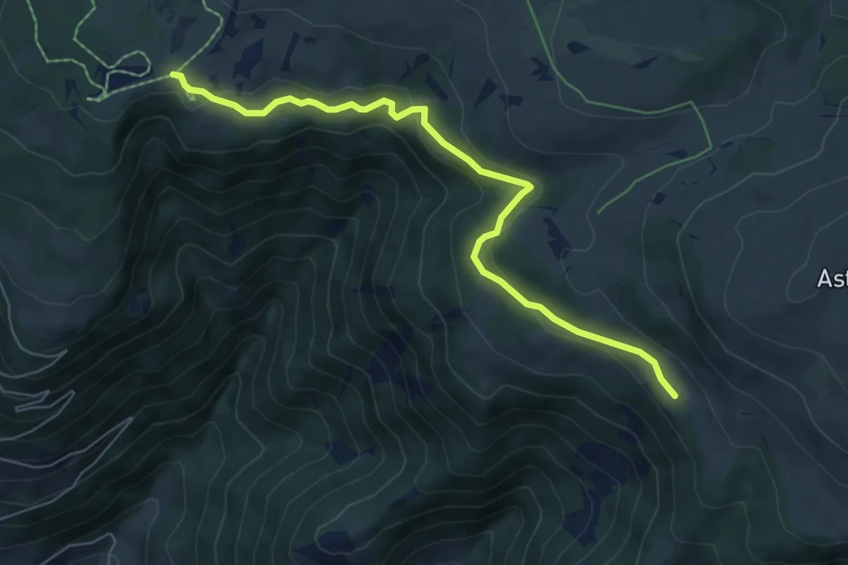
Easy · Trail
Griablsteig
6.3 km · ↑ 188 m · 1 h 54 min · 11 km away
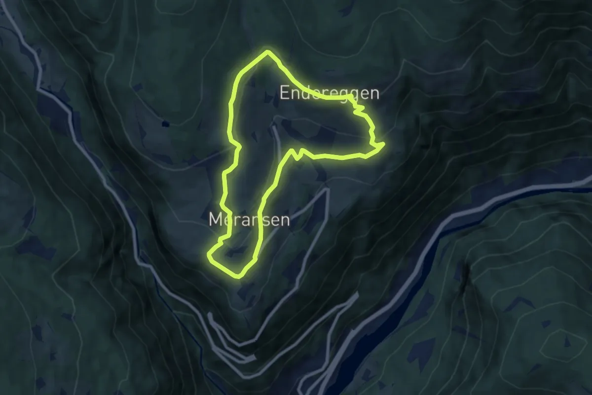
Easy · Trail
Rundweg Meransen
6.8 km · ↑ 283 m · 2 h 19 min · 11 km away
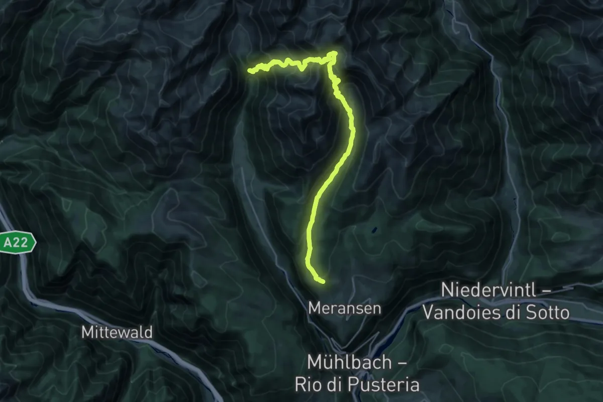
Demanding · Trail
15 - 6 => 17
12.7 km · ↑ 1008 m · 5 h 19 min · 12 km away
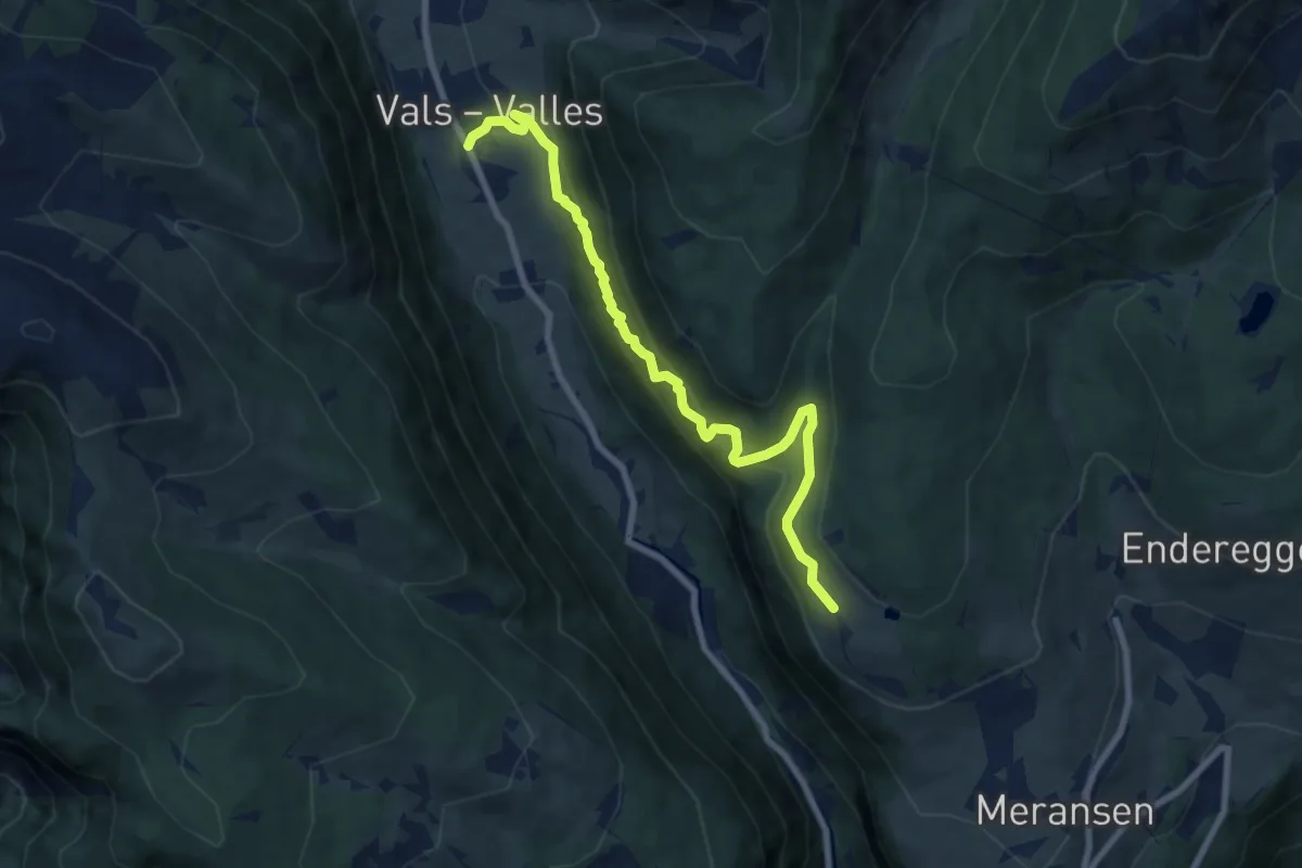
Medium · Trail
Leitensteig
8.4 km · ↑ 646 m · 3 h 22 min · 12 km away
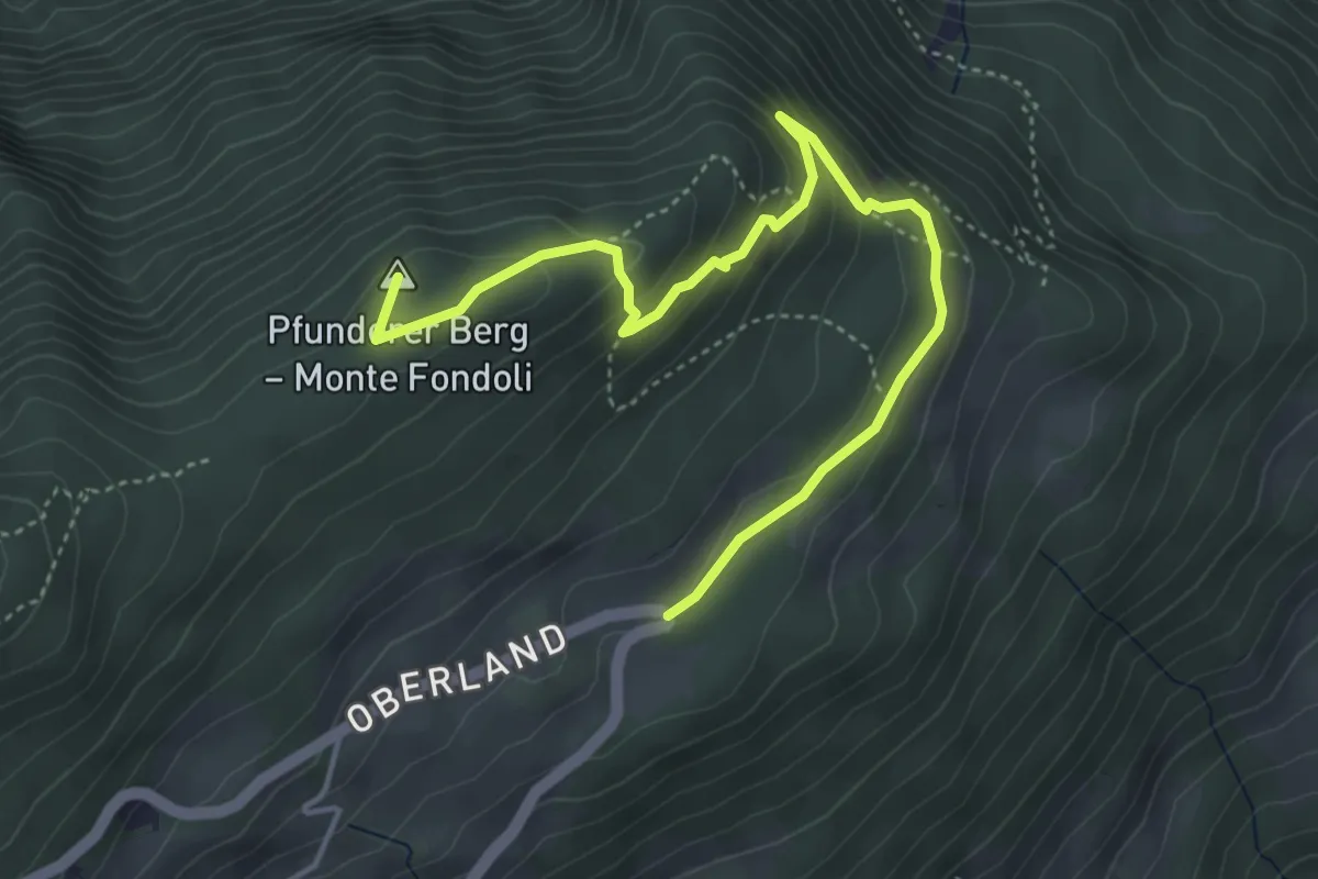
Medium · Summit
Seniorenweg
5.0 km · ↑ 305 m · 1 h 50 min · 12 km away
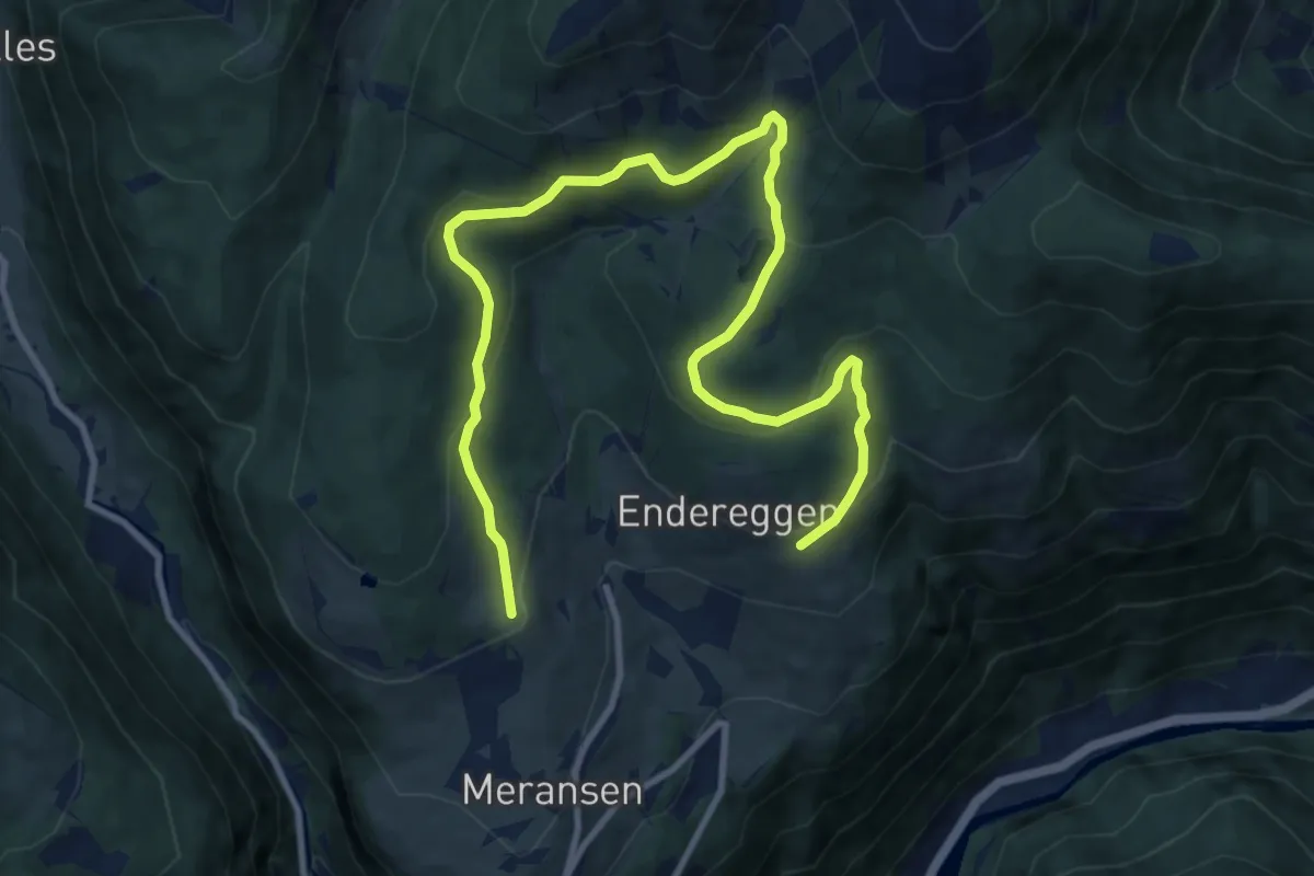
Medium · Trail
14 - Möserweg
13.2 km · ↑ 563 m · 4 h 20 min · 12 km away
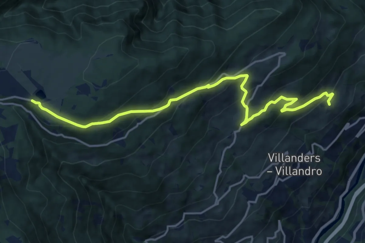
Medium · Trail
20 - Gravetscher Almweg
13.2 km · ↑ 792 m · 4 h 50 min · 12 km away
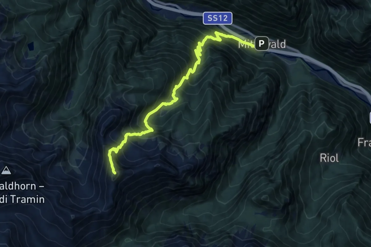
Demanding · Summit
21 - Mittewald => Kreuzjoch => Flaggeralm
15.2 km · ↑ 1746 m · 7 h 22 min · 12 km away
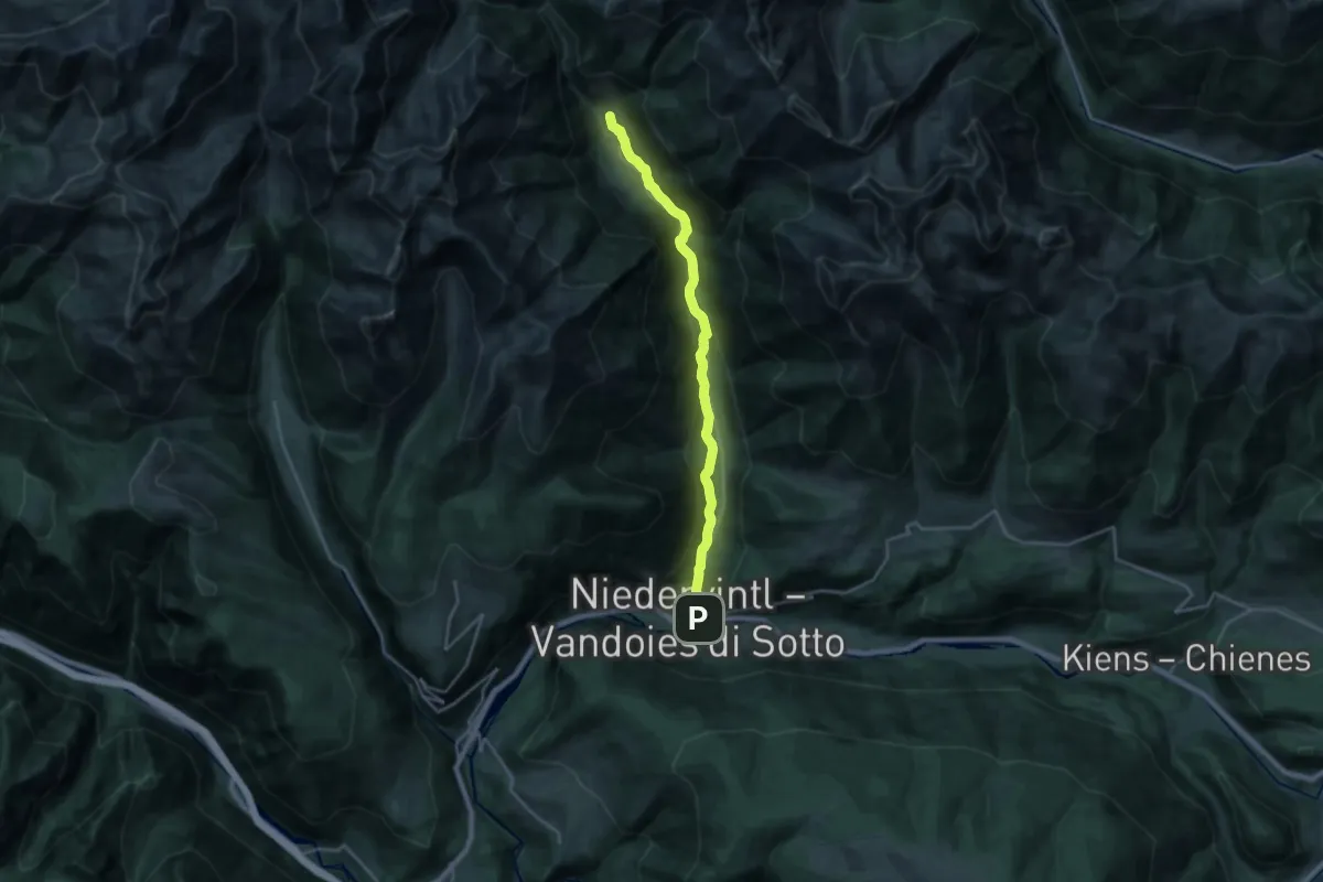
Demanding · Trail
Talweg
20.6 km · ↑ 596 m · 6 h 9 min · 12 km away
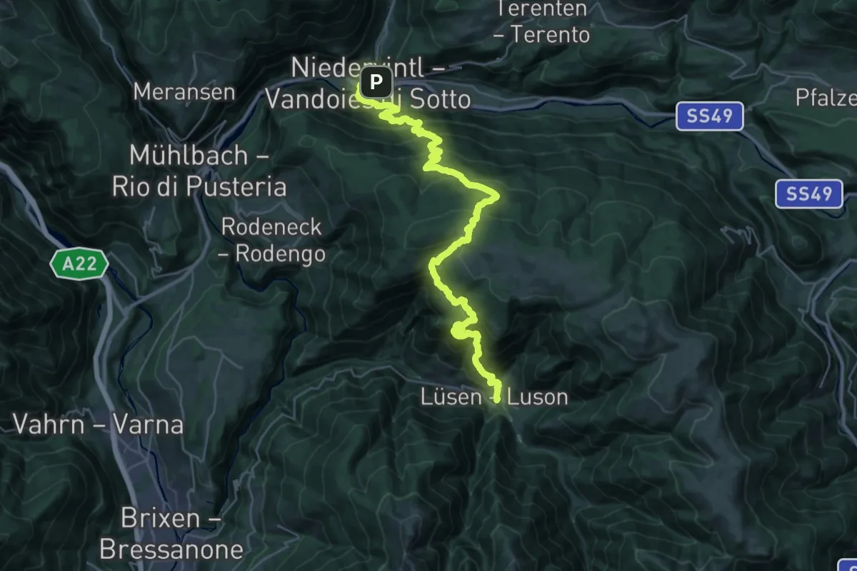
Demanding · Trail
14 - Lüsen
16.8 km · ↑ 1296 m · 6 h 53 min · 12 km away
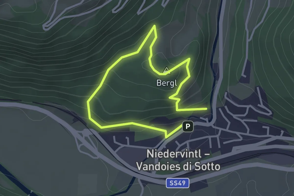
Easy · Summit
Bürgstallstöckl
2.1 km · ↑ 124 m · 48 min · 12 km away
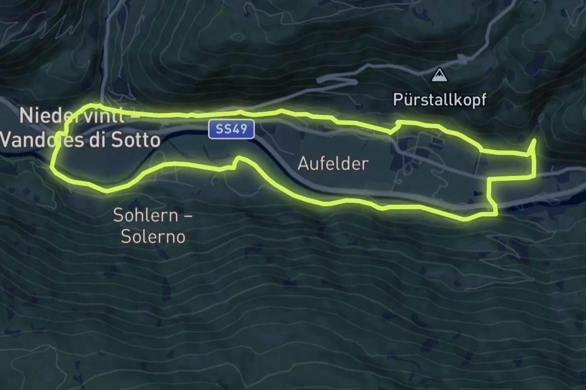
Medium · Trail
1 - Dörferrundweg (Vintl)
9.6 km · ↑ 185 m · 2 h 48 min · 12 km away
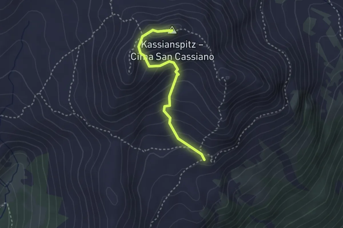
Medium · Summit
9 - Latzfonser Kreuz => Kassianspitz
2.6 km · ↑ 258 m · 1 h 11 min · 12 km away
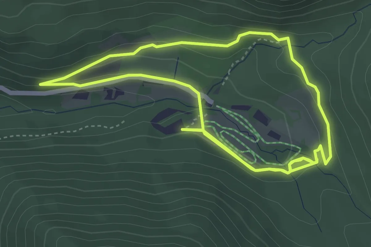
Easy · Trail
Naturerlebnispfad Zans
3.9 km · ↑ 102 m · 1 h 11 min · 12 km away
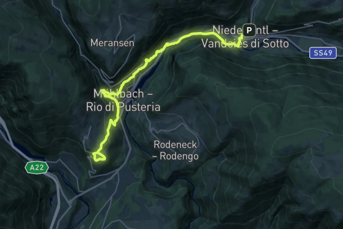
Demanding · Trail
10 => Spinges => Mühlbach => Vintl
21.9 km · ↑ 951 m · 7 h 14 min · 12 km away
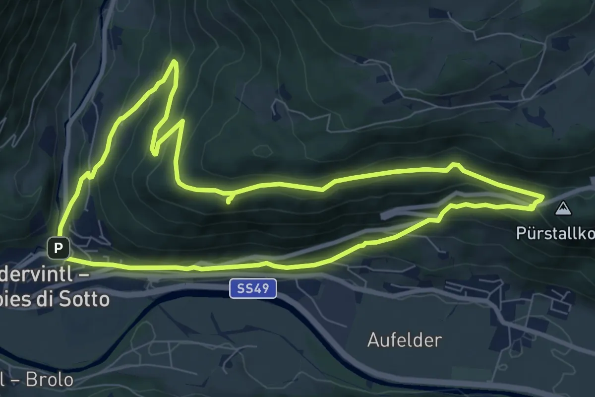
Medium · Trail
Schwalbenwandrunde
7.7 km · ↑ 386 m · 2 h 45 min · 12 km away
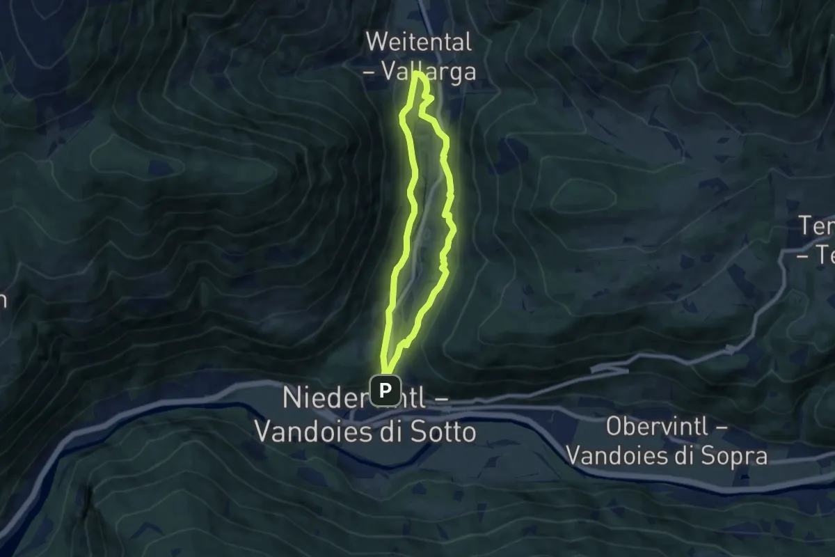
Easy · Trail
Dörferrundweg
6.2 km · ↑ 196 m · 1 h 59 min · 12 km away
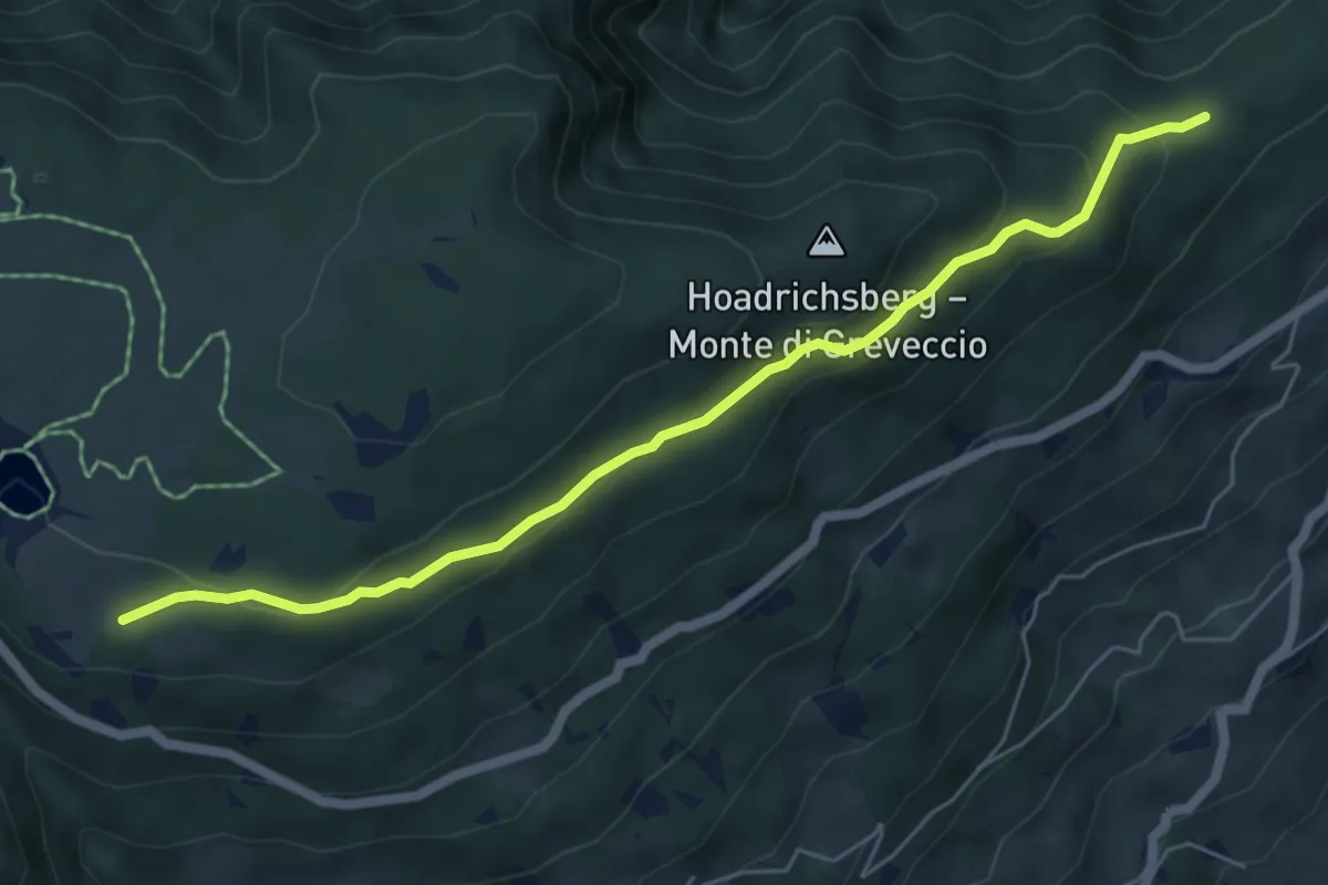
Easy · Trail
22 - Wasserwaal
6.0 km · ↑ 276 m · 2 h 1 min · 12 km away
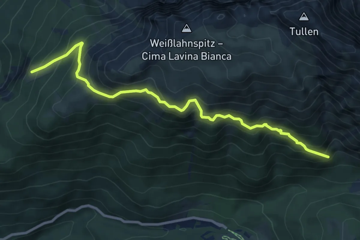
Medium · Trail
Oberer Herrensteig
7.5 km · ↑ 791 m · 3 h 30 min · 12 km away
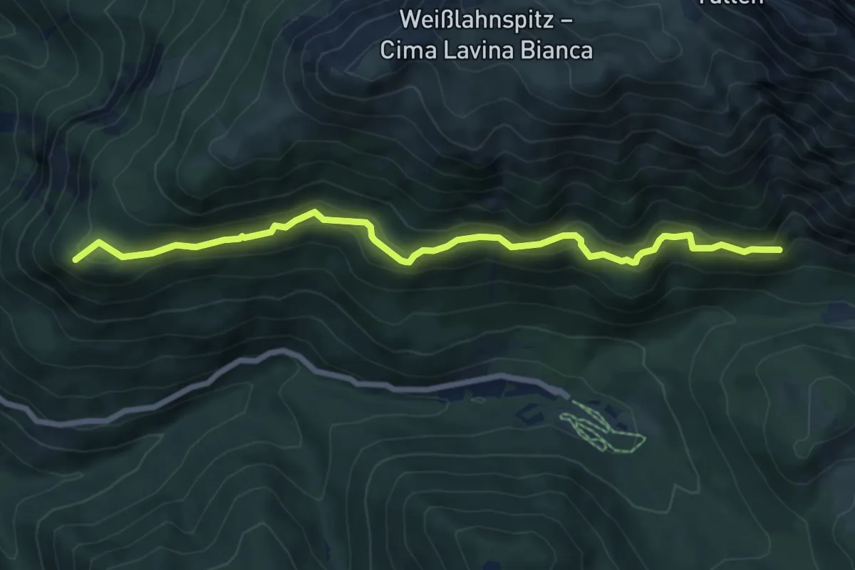
Medium · Summit
Unterer Herrensteig - Sentiero dei Signori inferiore
7.2 km · ↑ 525 m · 2 h 51 min · 12 km away
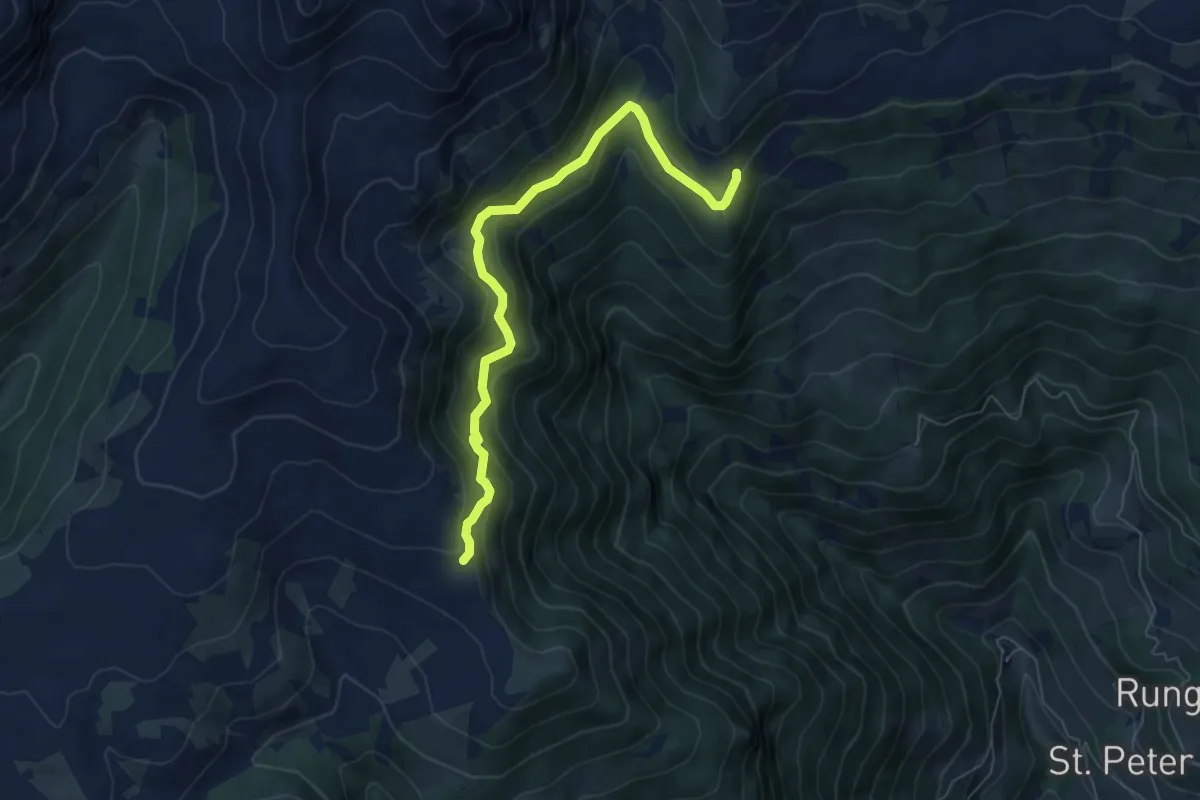
Medium · Trail
25 - Jagersteig
6.6 km · ↑ 425 m · 2 h 28 min · 12 km away
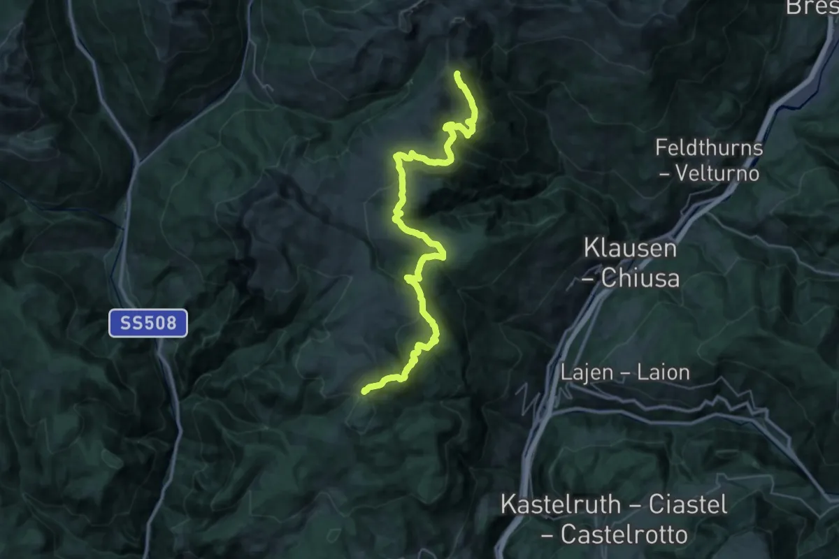
Demanding · Trail
15 - Unterhorn => 1
18.4 km · ↑ 672 m · 6 h 13 min · 13 km away
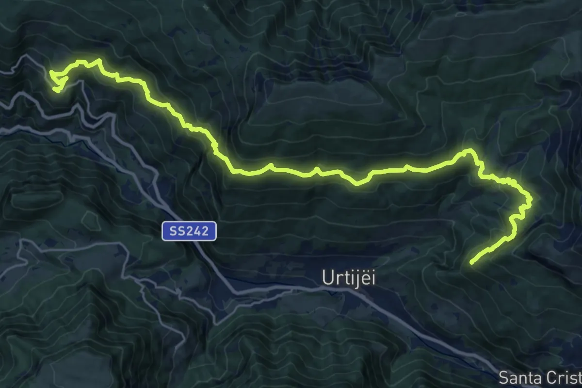
Demanding · Trail
Troi Paian
13.1 km · ↑ 1084 m · 5 h 19 min · 13 km away
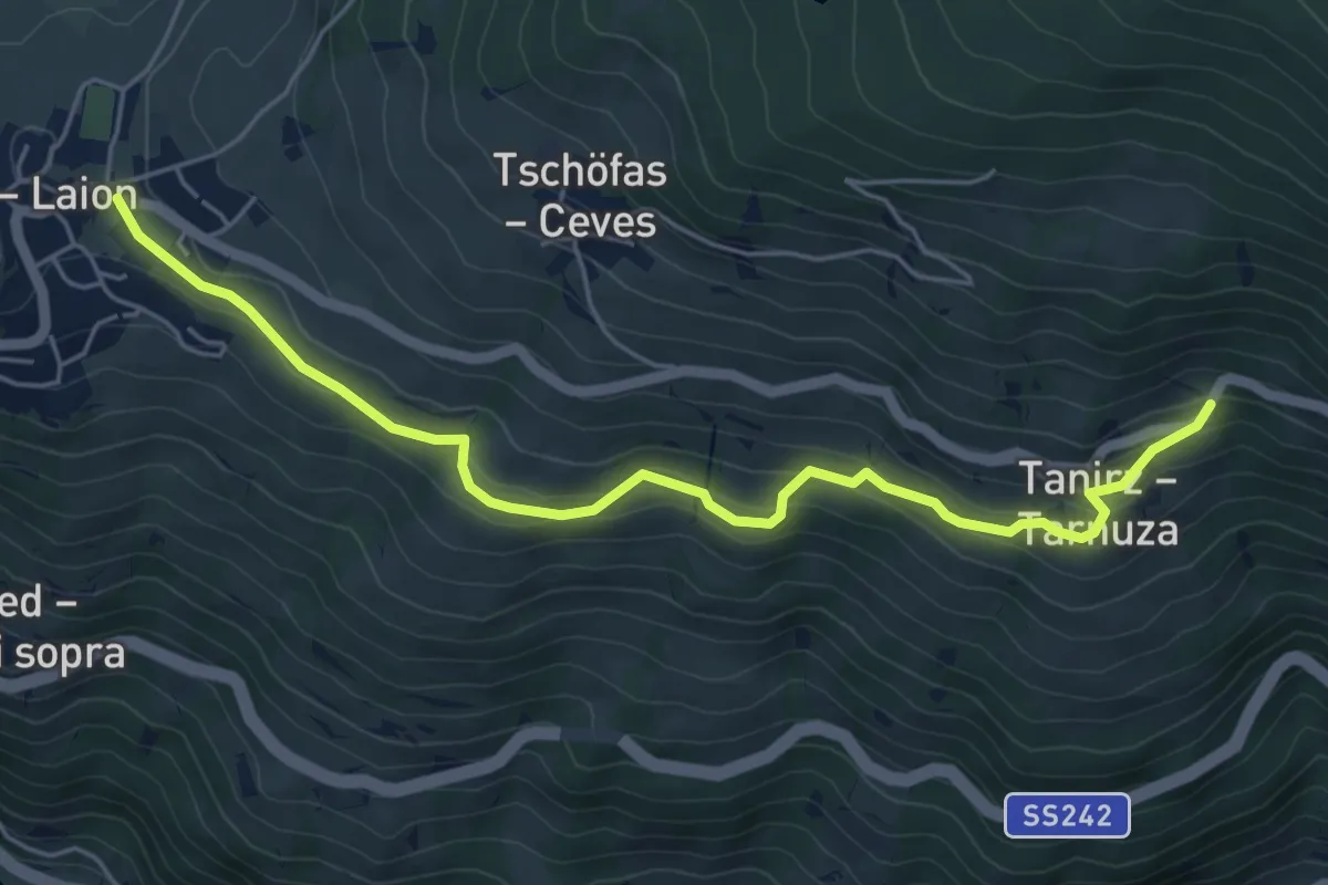
Easy · Trail
Mitterweg
5.6 km · ↑ 219 m · 1 h 47 min · 13 km away
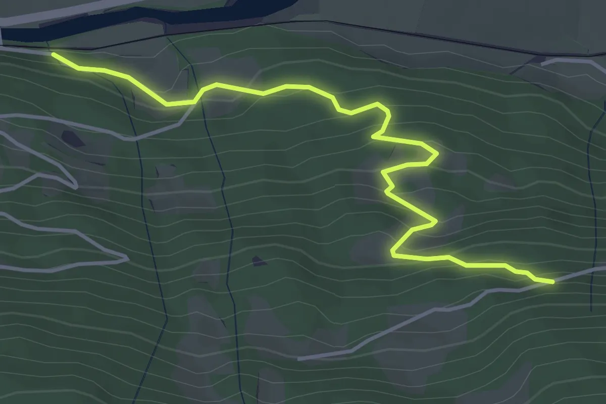
Easy · Trail
Wanderroute 8A
4.3 km · ↑ 300 m · 1 h 40 min · 13 km away
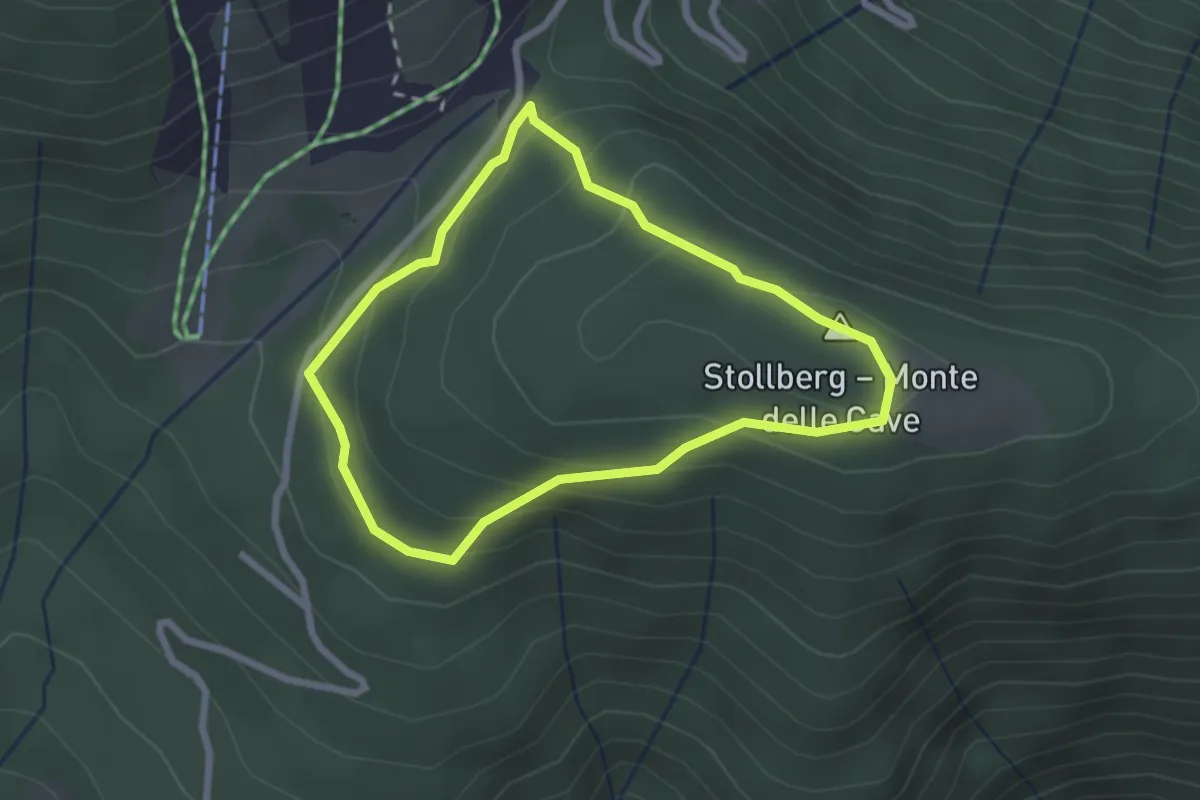
Easy · Summit
Stollrundweg
2.2 km · ↑ 100 m · 46 min · 14 km away
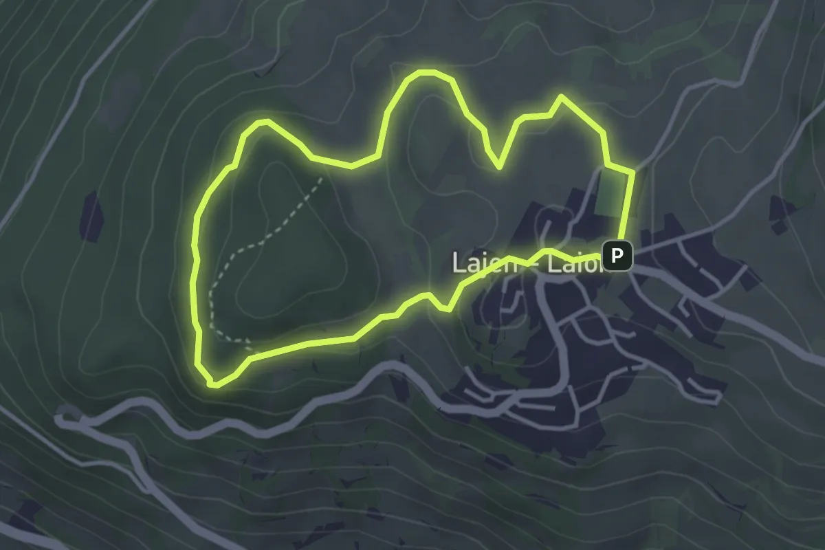
Easy · Summit
Rundweg Kasserol
3.3 km · ↑ 113 m · 1 h 4 min · 14 km away
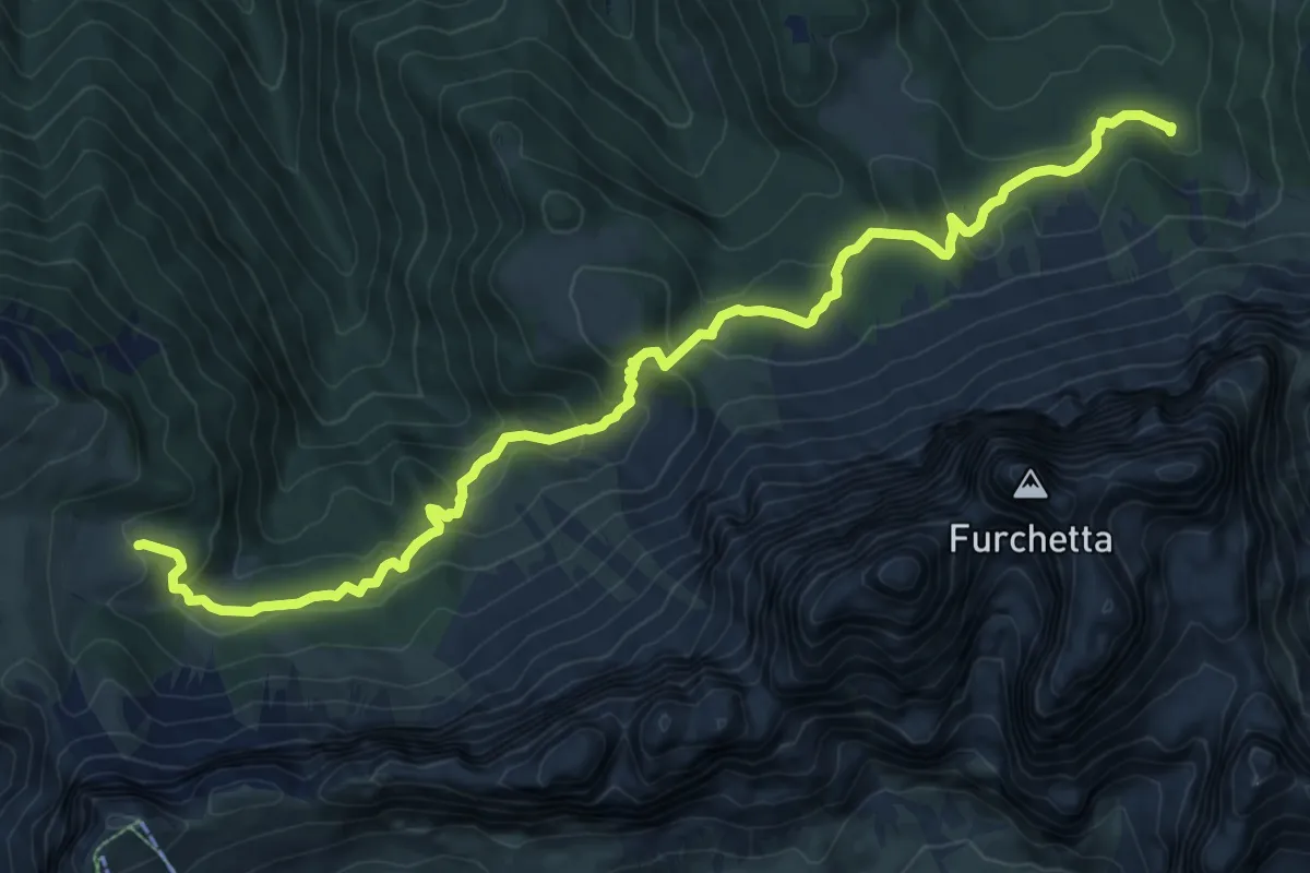
Medium · Cabin
Adolf Munkel Weg - Via delle Odle
11.9 km · ↑ 589 m · 4 h 5 min · 14 km away
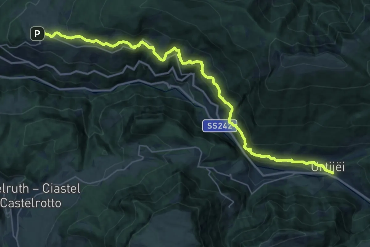
Medium · Trail
Poststeig
12.1 km · ↑ 763 m · 4 h 37 min · 14 km away
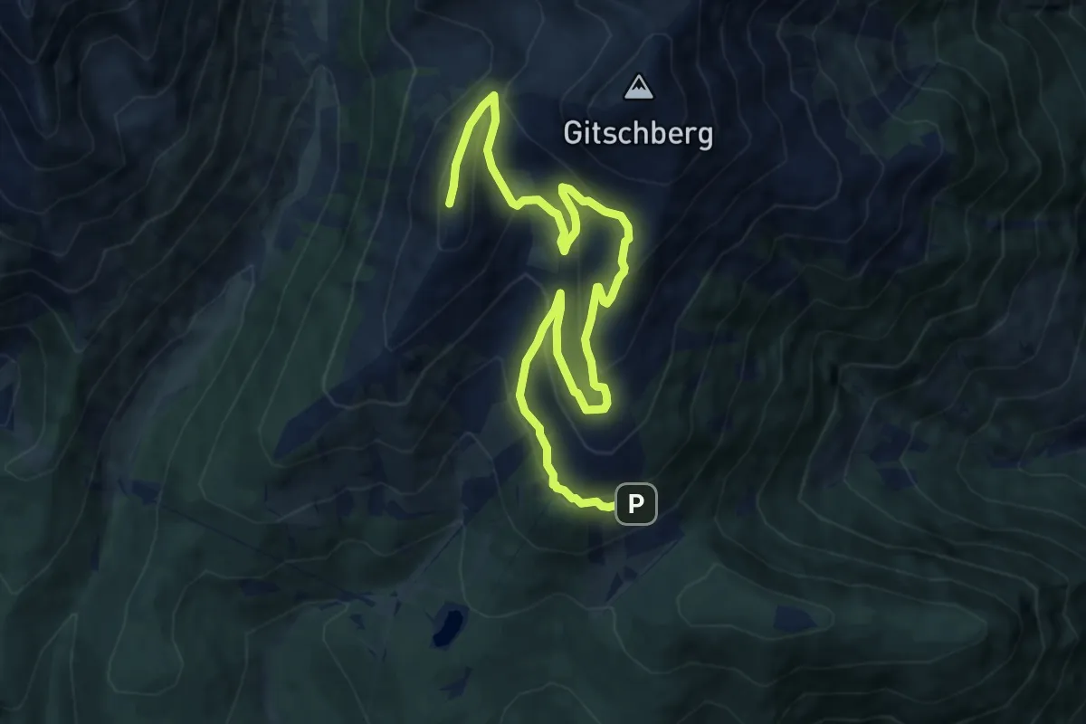
Medium · Summit
Almhüttenrundweg Gitschberg
12.2 km · ↑ 743 m · 4 h 30 min · 14 km away
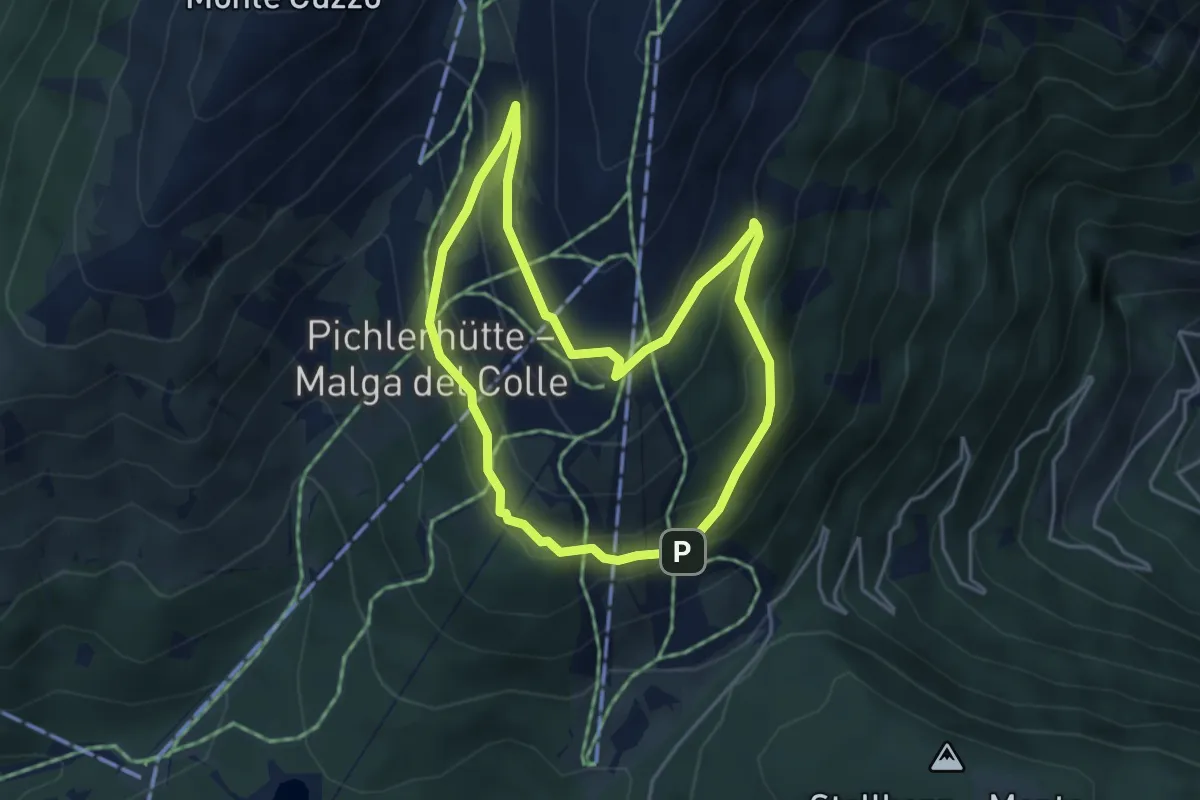
Easy · Trail
Rundweg Geißraste
3.9 km · ↑ 242 m · 1 h 29 min · 14 km away
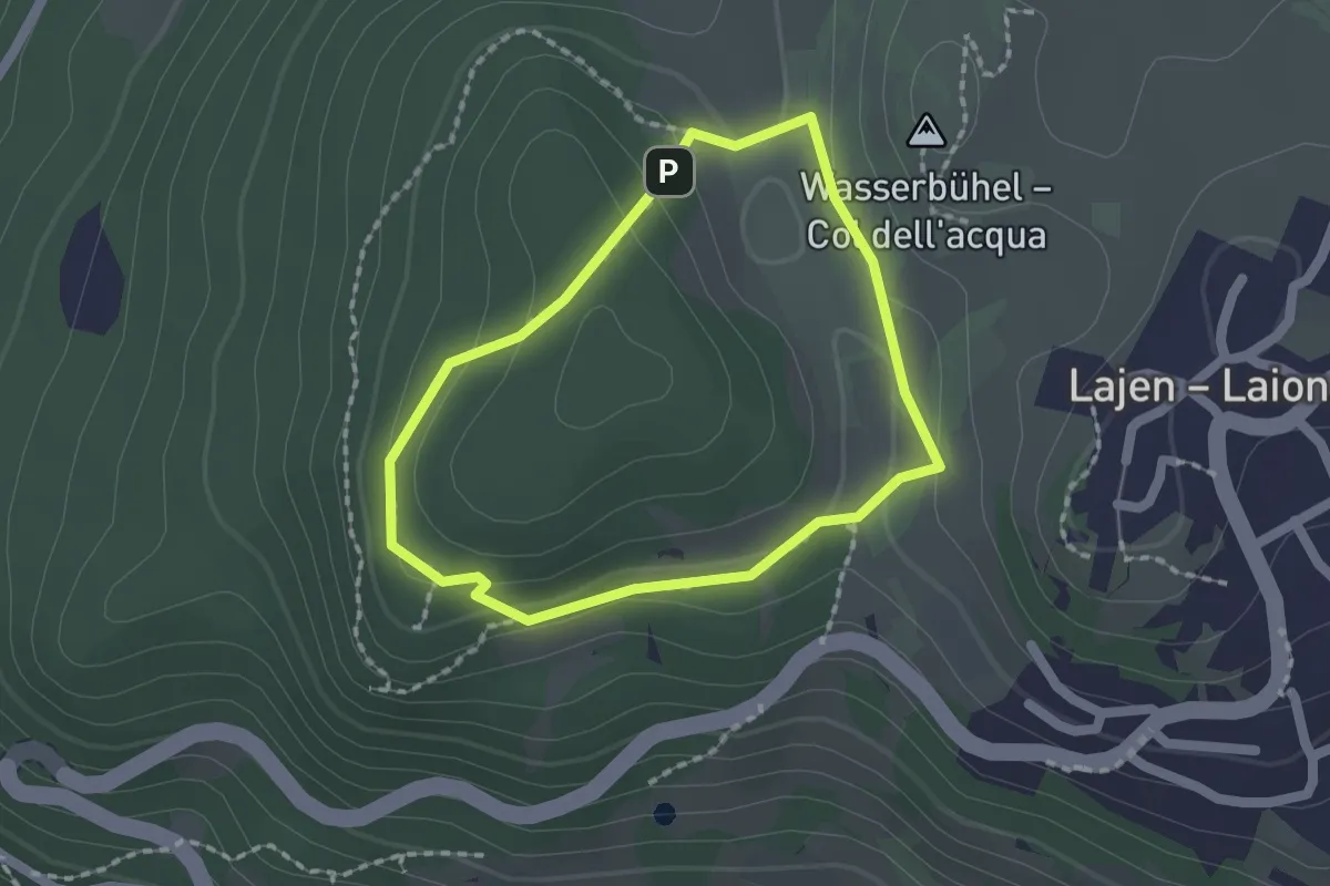
Easy · Summit
Wetterkreuzsteig
1.5 km · ↑ 41 m · 28 min · 14 km away
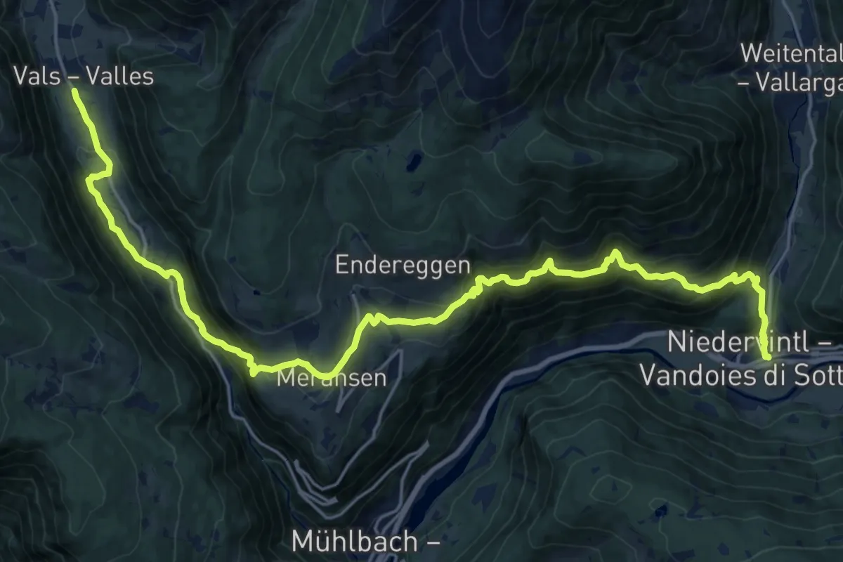
Medium · Trail
11 - Vals => Meransen => Niedervintl
12.3 km · ↑ 474 m · 4 h 25 min · 14 km away
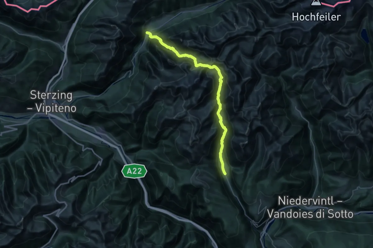
Demanding · Trail
17 - Vals => Fußendraß
18.8 km · ↑ 1346 m · 7 h 36 min · 14 km away
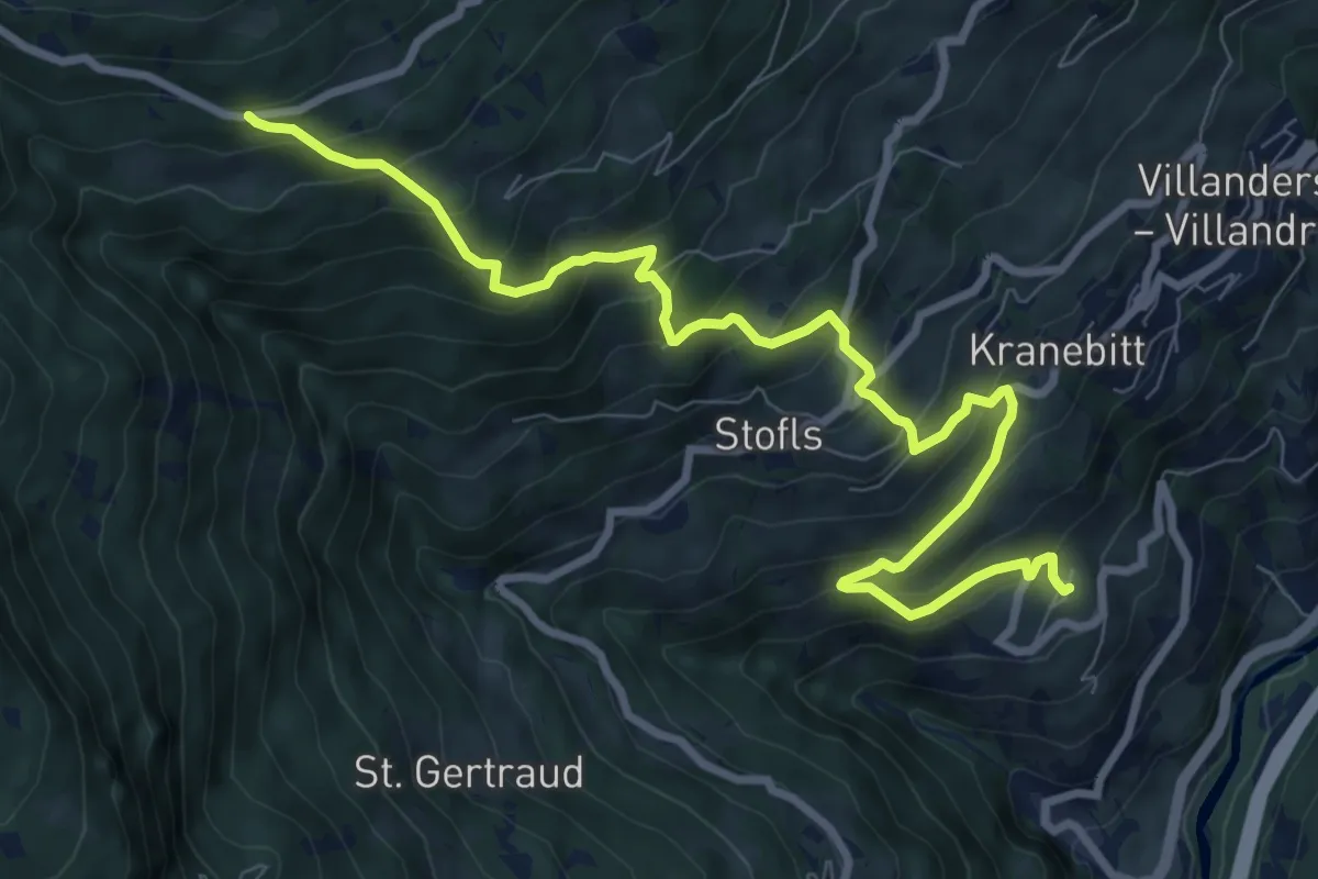
Demanding · Trail
10 - Sauderer Almweg
10.0 km · ↑ 831 m · 4 h 9 min · 14 km away
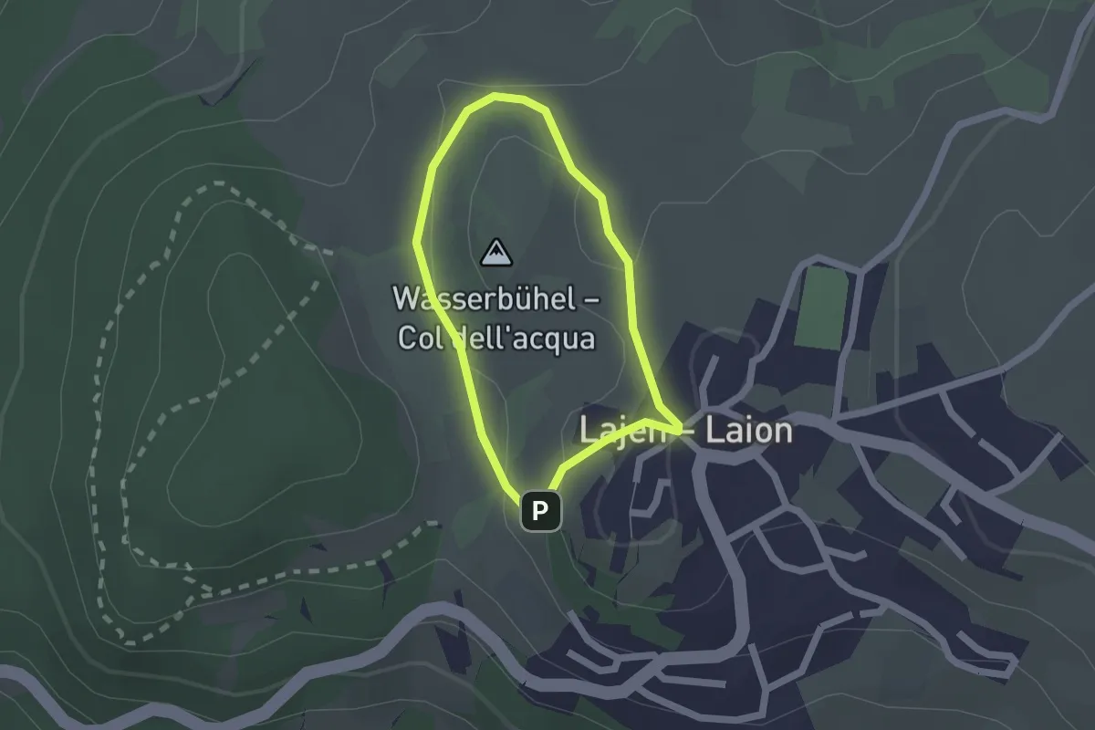
Easy · Summit
Wasserbühlrunde
1.4 km · ↑ 35 m · 26 min · 14 km away
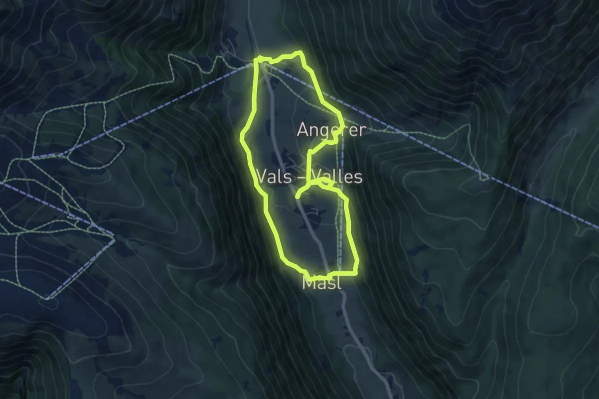
Easy · Trail
Valser Rundweg
5.7 km · ↑ 198 m · 1 h 52 min · 14 km away
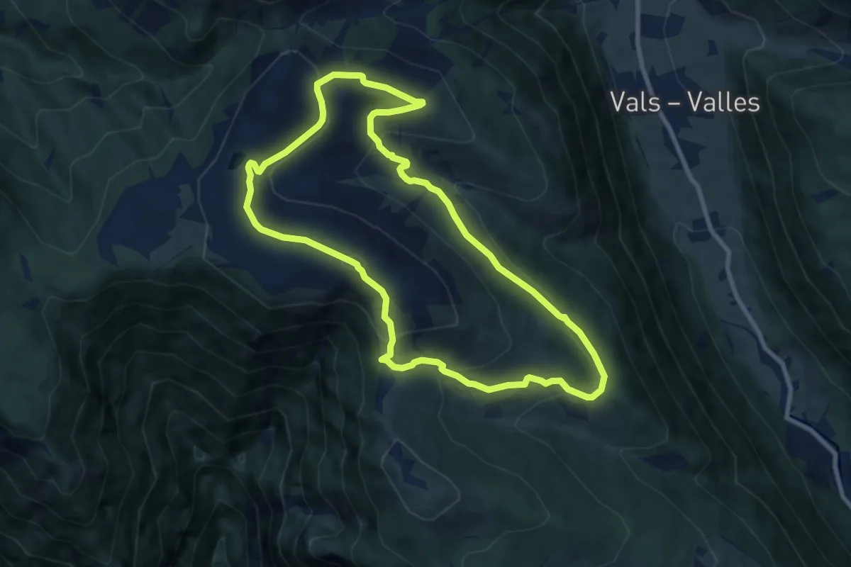
Medium · Summit
Panoramarundweg
7.8 km · ↑ 357 m · 2 h 43 min · 14 km away
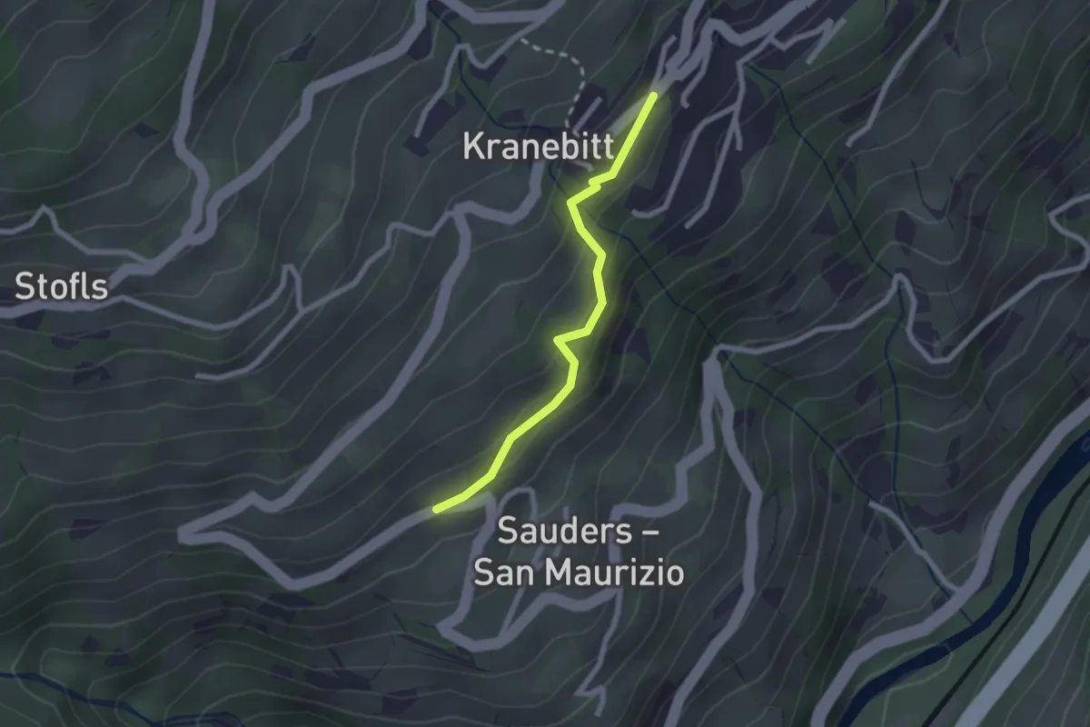
Easy · Trail
Kirchsteig
2.0 km · ↑ 113 m · 43 min · 14 km away
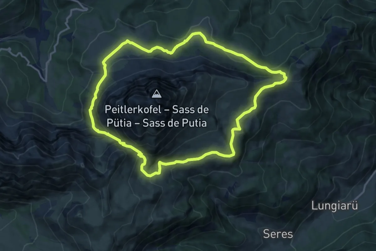
Medium · Trail
Rundweg Peitlerkofel
10.7 km · ↑ 578 m · 3 h 56 min · 14 km away
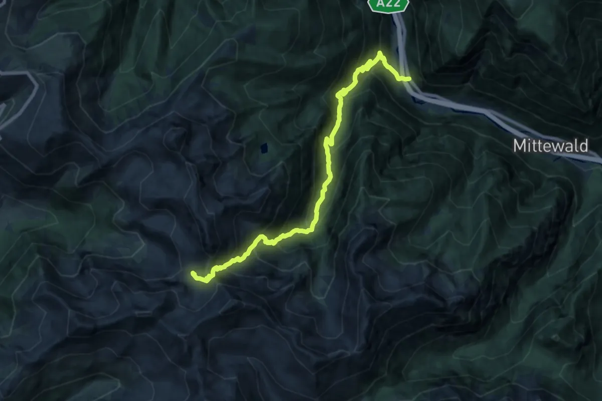
Demanding · Trail
15 - Grasstein => Traminer Scharte
17.4 km · ↑ 1631 m · 7 h 39 min · 14 km away
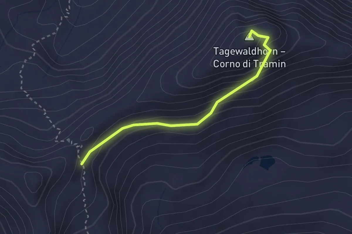
Expert · Summit
AVS 15A - Traminer Scharte - Tagewaldhorn - AVS13
2.3 km · ↑ 198 m · 59 min · 15 km away
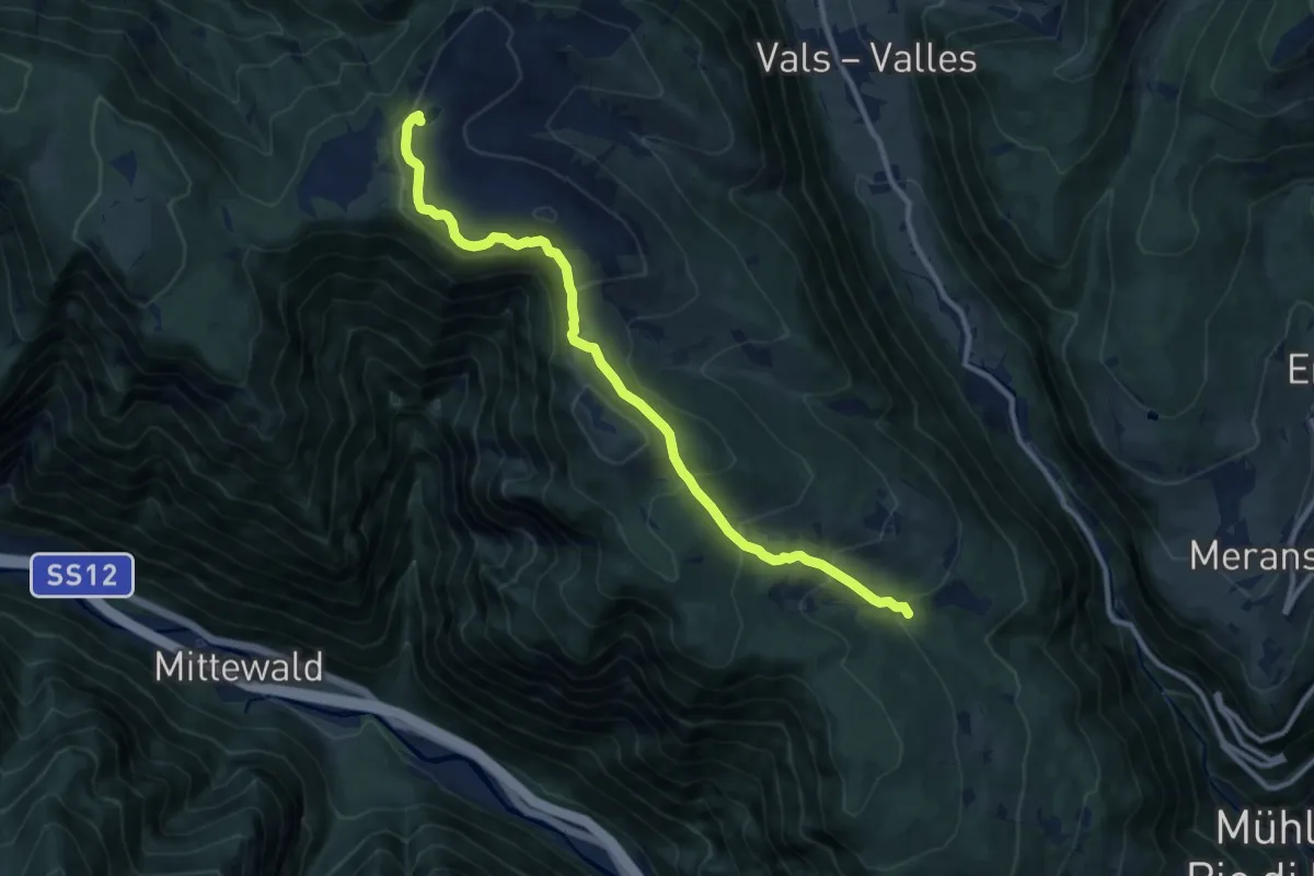
Medium · Trail
1 - Knappensteig
10.8 km · ↑ 574 m · 3 h 48 min · 15 km away