Trails near Bruneck - Brunico
110 hikes starting within 15 km, nearest first.
Nearest first, page 1 of 3
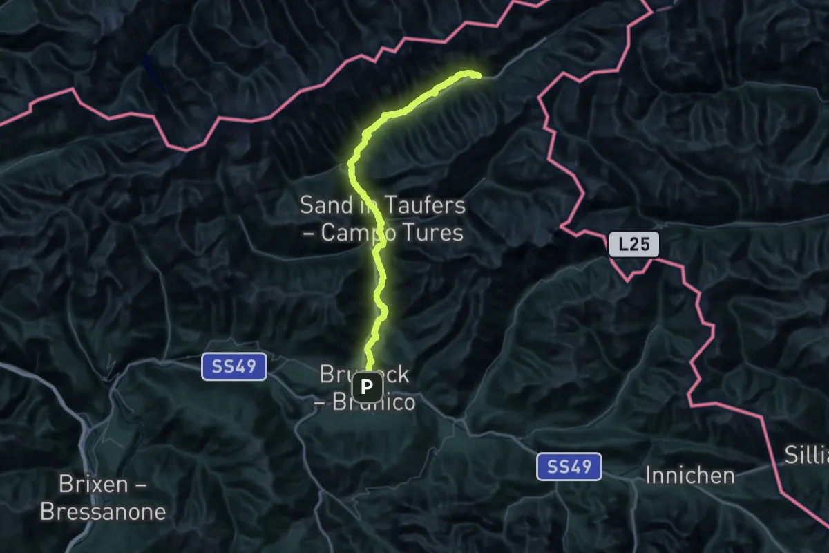
Demanding · Trail
Durchs Toul
37.2 km · ↑ 1239 m · 11 h 44 min · under 1 km away
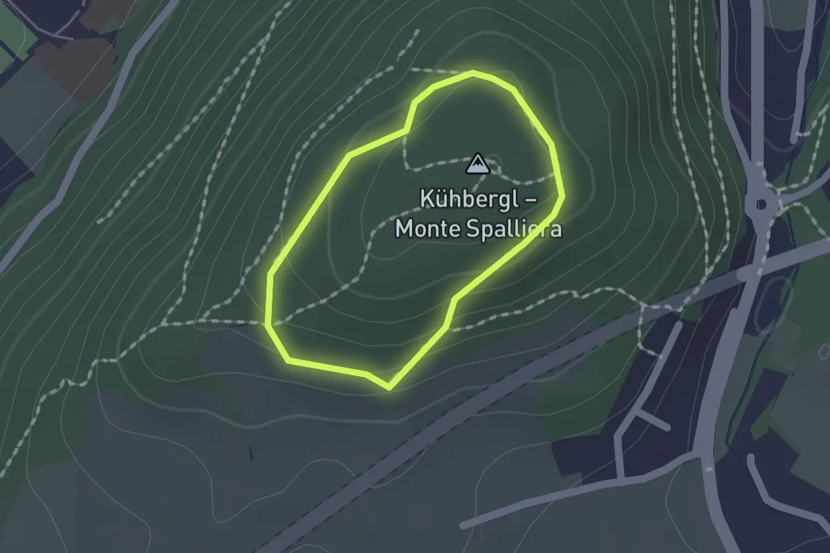
Easy · Summit
Rundweg Kaiserwarte
1.1 km · ↑ 58 m · 24 min · 1 km away
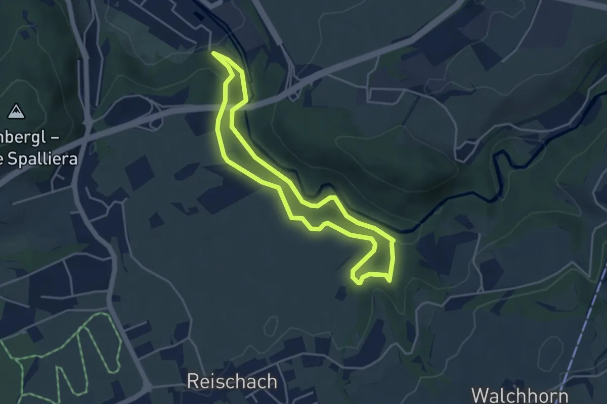
Easy · Trail
Naturlehrpfad
3.5 km · ↑ 117 m · 1 h 8 min · 2 km away
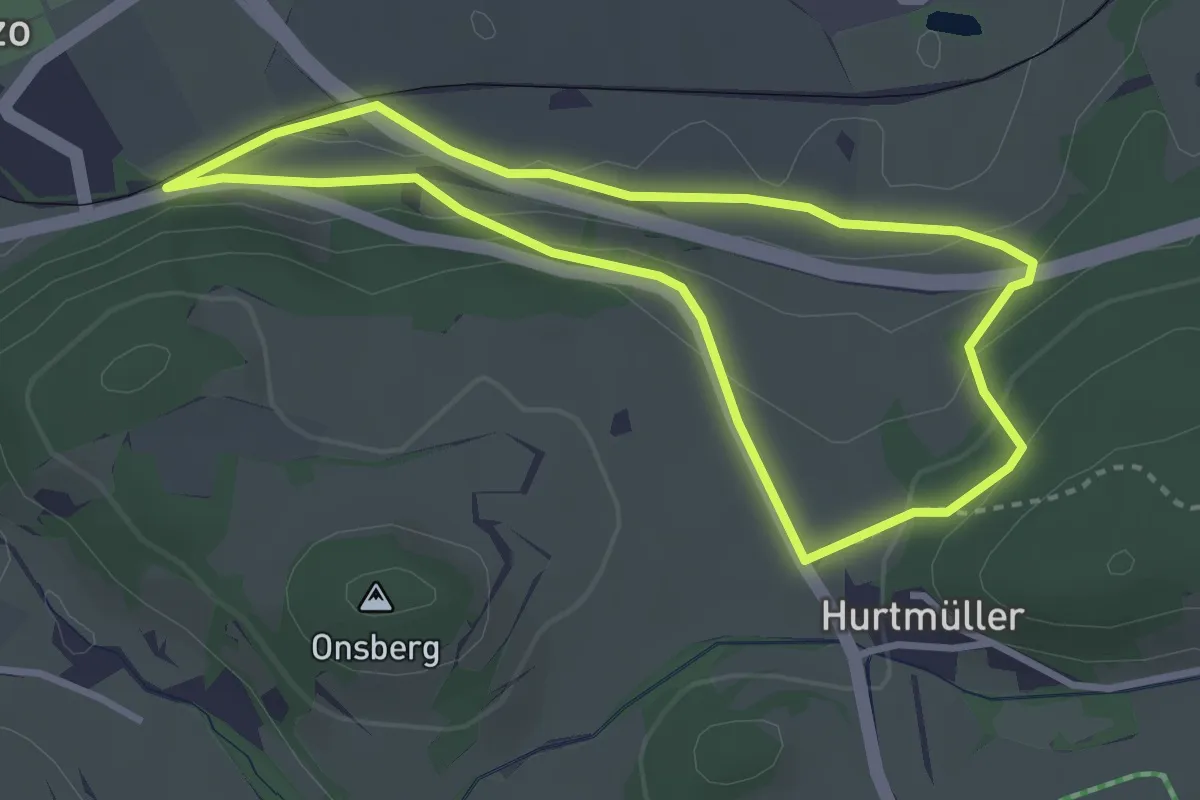
Easy · Trail
Sagenweg - Sentiero delle leggende
3.0 km · ↑ 98 m · 58 min · 2 km away
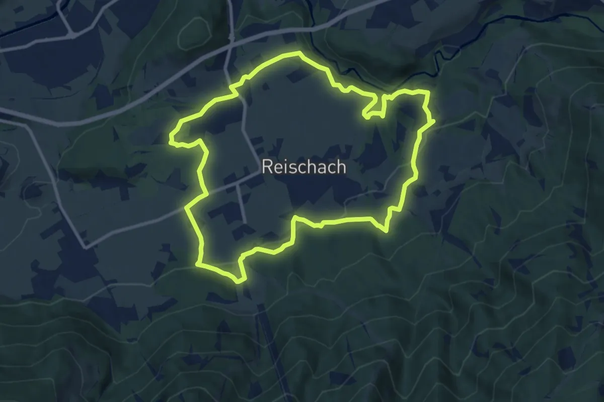
Medium · Trail
Rundweg Reischach
9.3 km · ↑ 271 m · 2 h 54 min · 2 km away
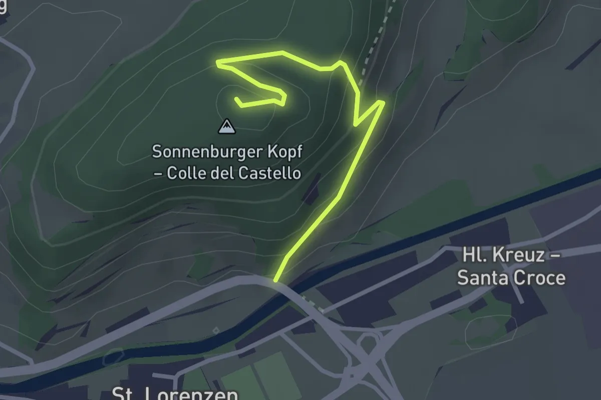
Medium · Summit
Archäologischer Panoramaweg - Sentiero panoramico archeologico
2.5 km · ↑ 163 m · 57 min · 3 km away
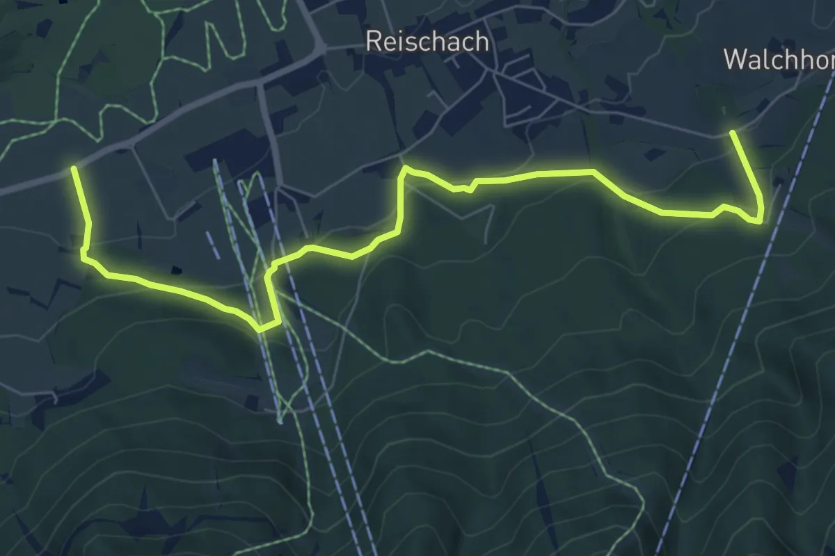
Medium · Trail
Panoramaweg
7.8 km · ↑ 391 m · 2 h 42 min · 3 km away
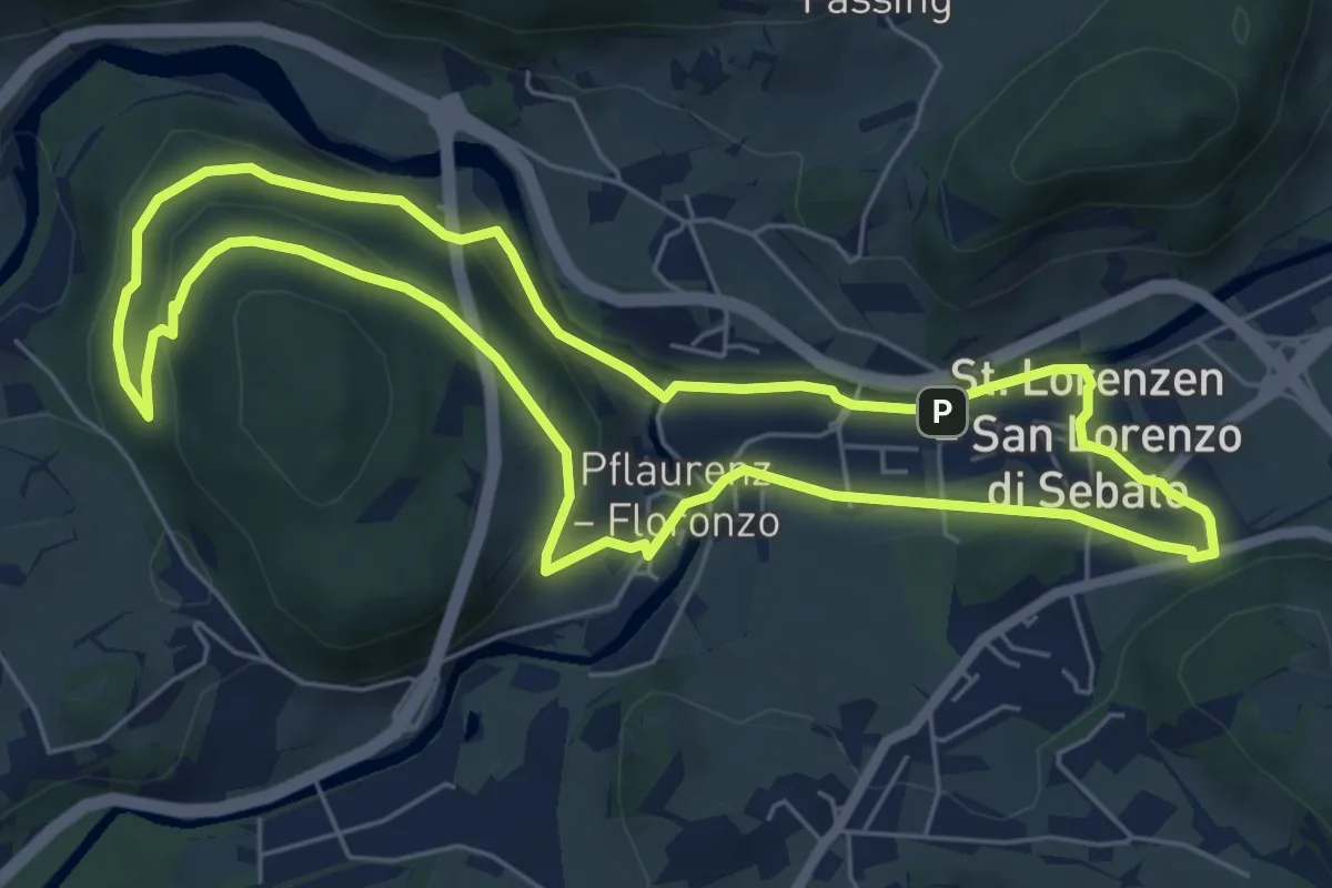
Easy · Trail
Rundweg Klosterwald
6.4 km · ↑ 170 m · 1 h 59 min · 3 km away
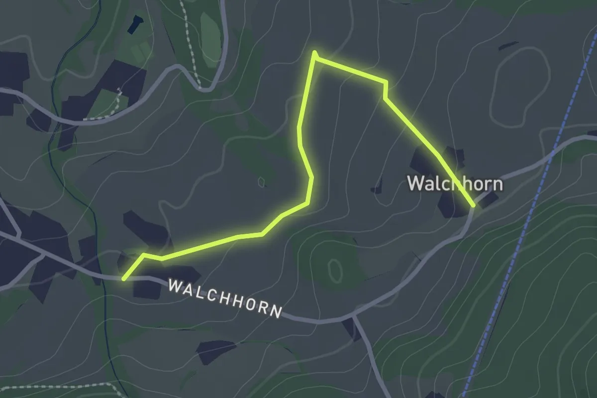
Easy · Trail
Wiesenweg
2.5 km · ↑ 64 m · 44 min · 3 km away
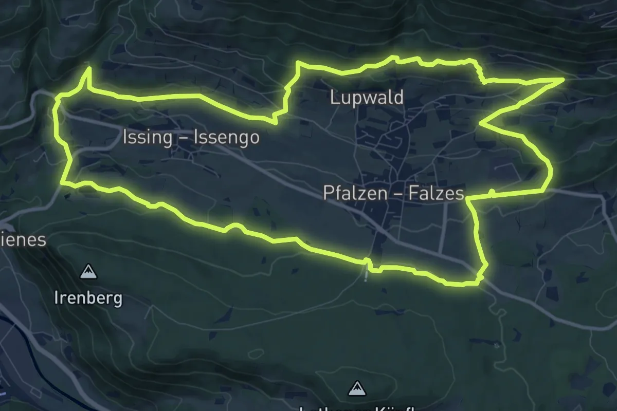
Medium · Trail
Steine erzählen
12.7 km · ↑ 379 m · 3 h 59 min · 4 km away
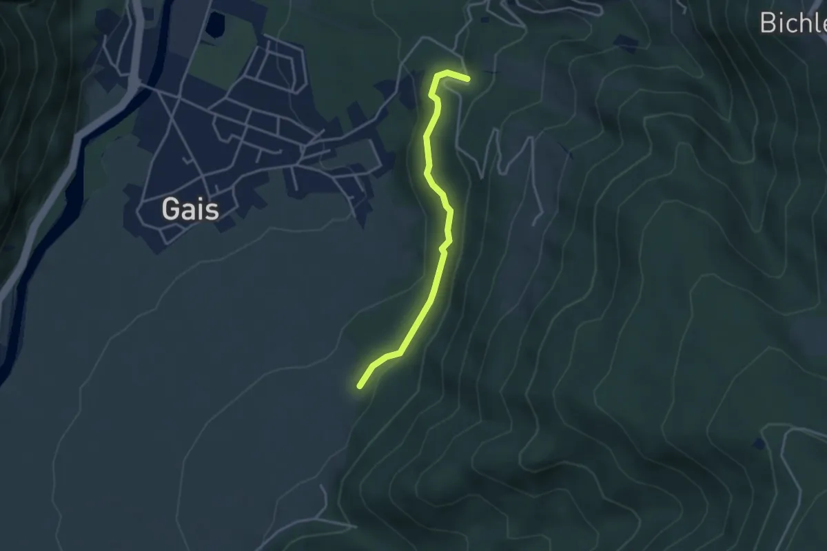
Easy · Trail
Waalweg
3.1 km · ↑ 181 m · 1 h 7 min · 4 km away
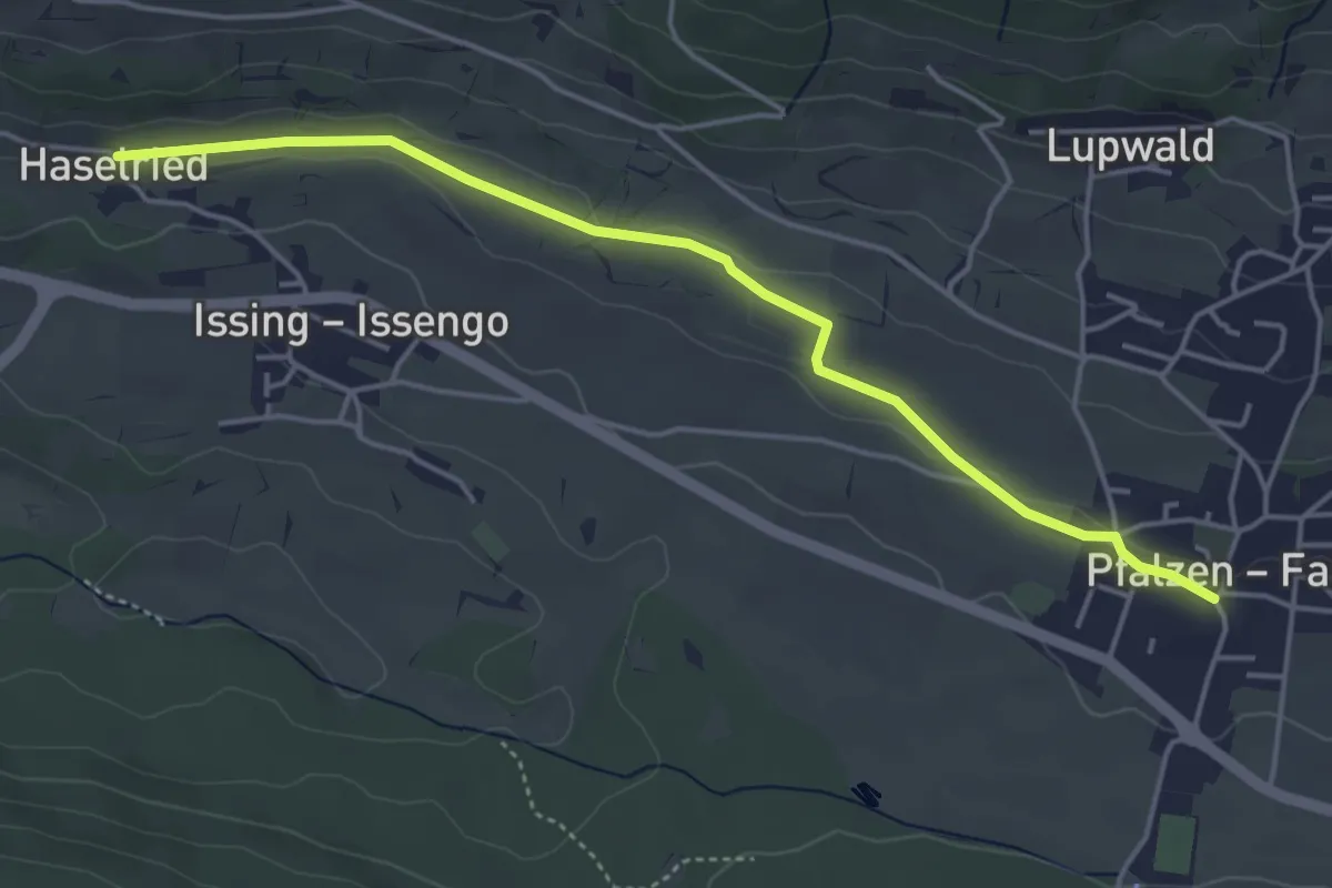
Easy · Trail
Pfaffensteig
4.6 km · ↑ 38 m · 1 h 11 min · 4 km away
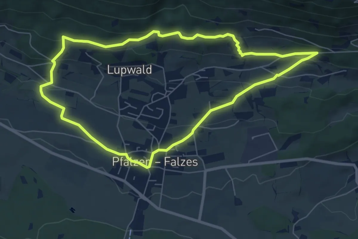
Easy · Trail
Panoramasteig
6.0 km · ↑ 230 m · 1 h 59 min · 4 km away
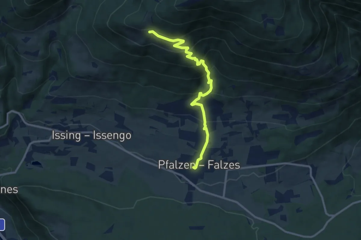
Medium · Trail
Kirchweg
7.6 km · ↑ 612 m · 3 h 7 min · 4 km away
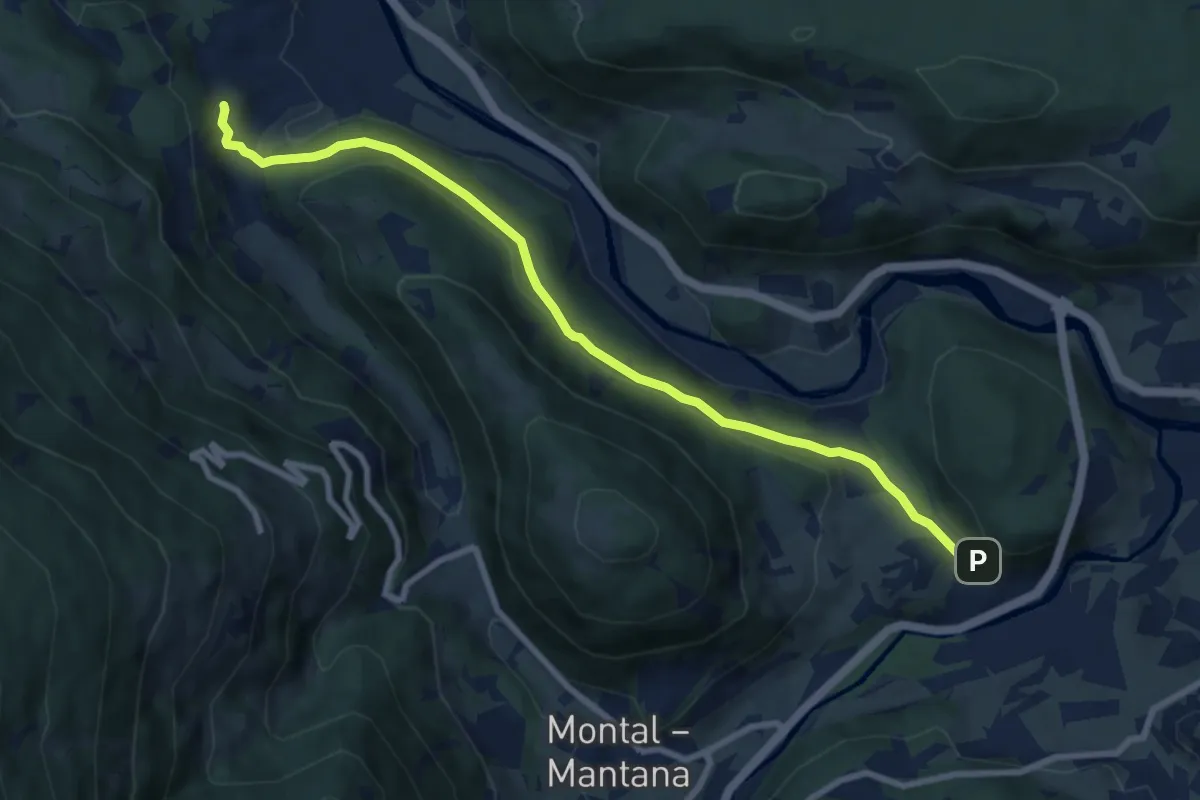
Medium · Trail
Bittgang
8.6 km · ↑ 276 m · 2 h 38 min · 5 km away
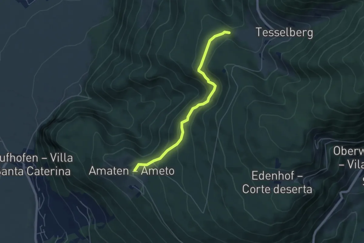
Easy · Trail
Bettelweg
4.9 km · ↑ 299 m · 1 h 49 min · 5 km away
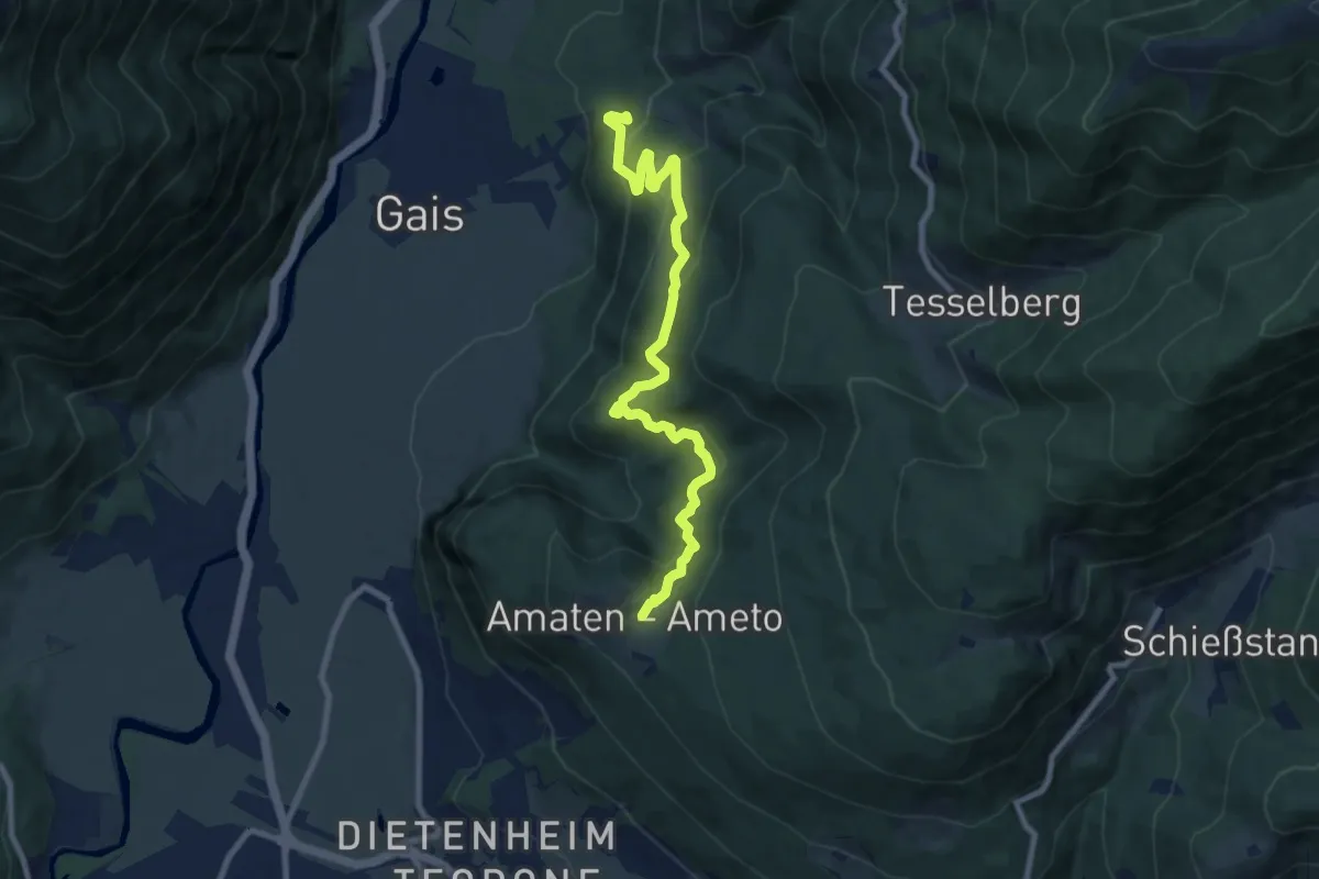
Medium · Trail
Kehlburgweg
9.2 km · ↑ 580 m · 3 h 26 min · 5 km away
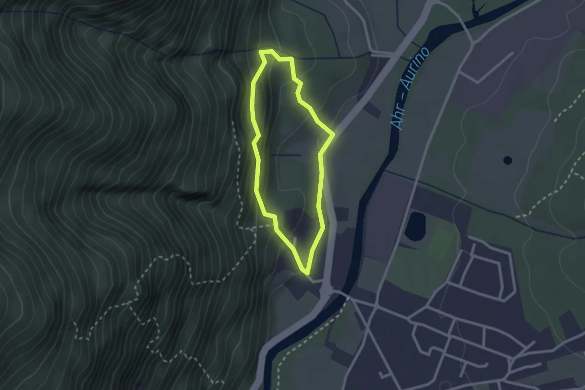
Easy · Trail
Kulturweg Gais
1.9 km · ↑ 125 m · 45 min · 5 km away
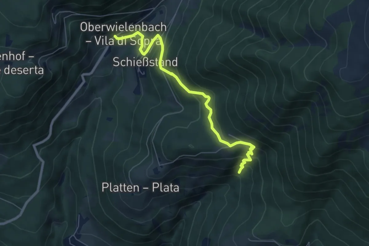
Medium · Trail
Pyramidenweg
6.3 km · ↑ 426 m · 2 h 25 min · 5 km away
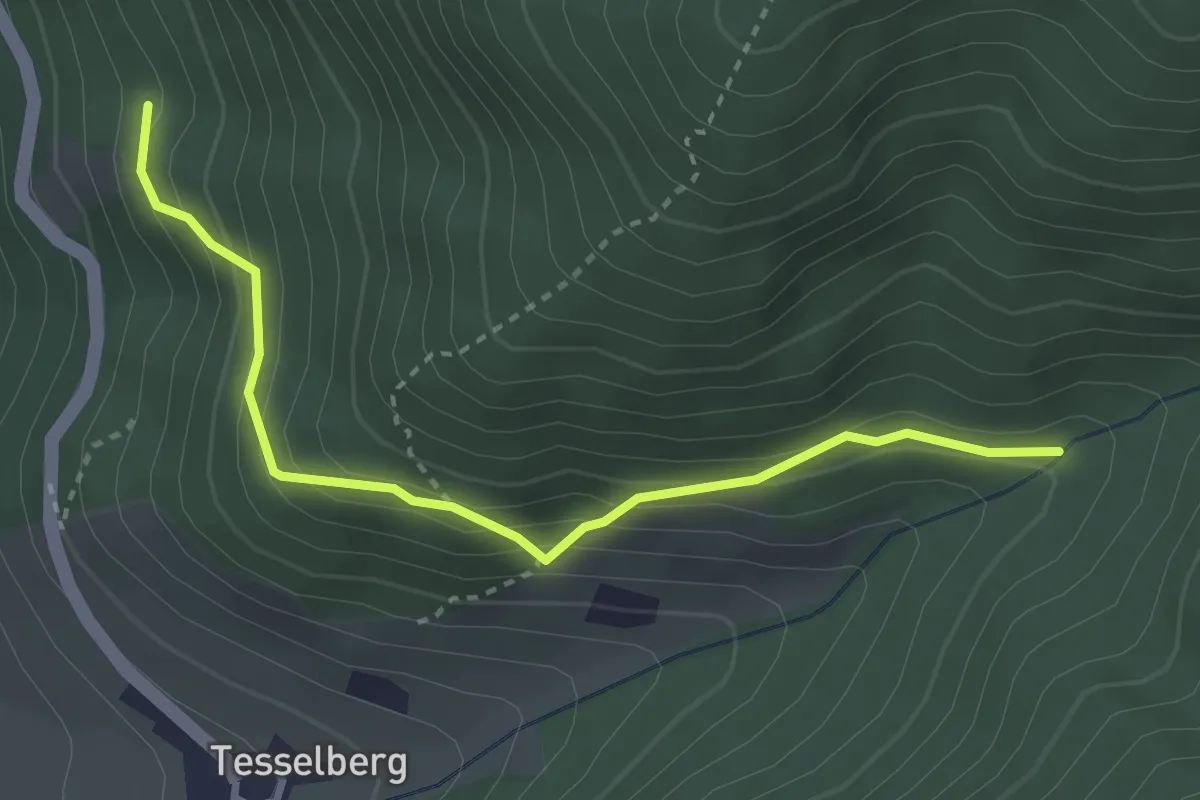
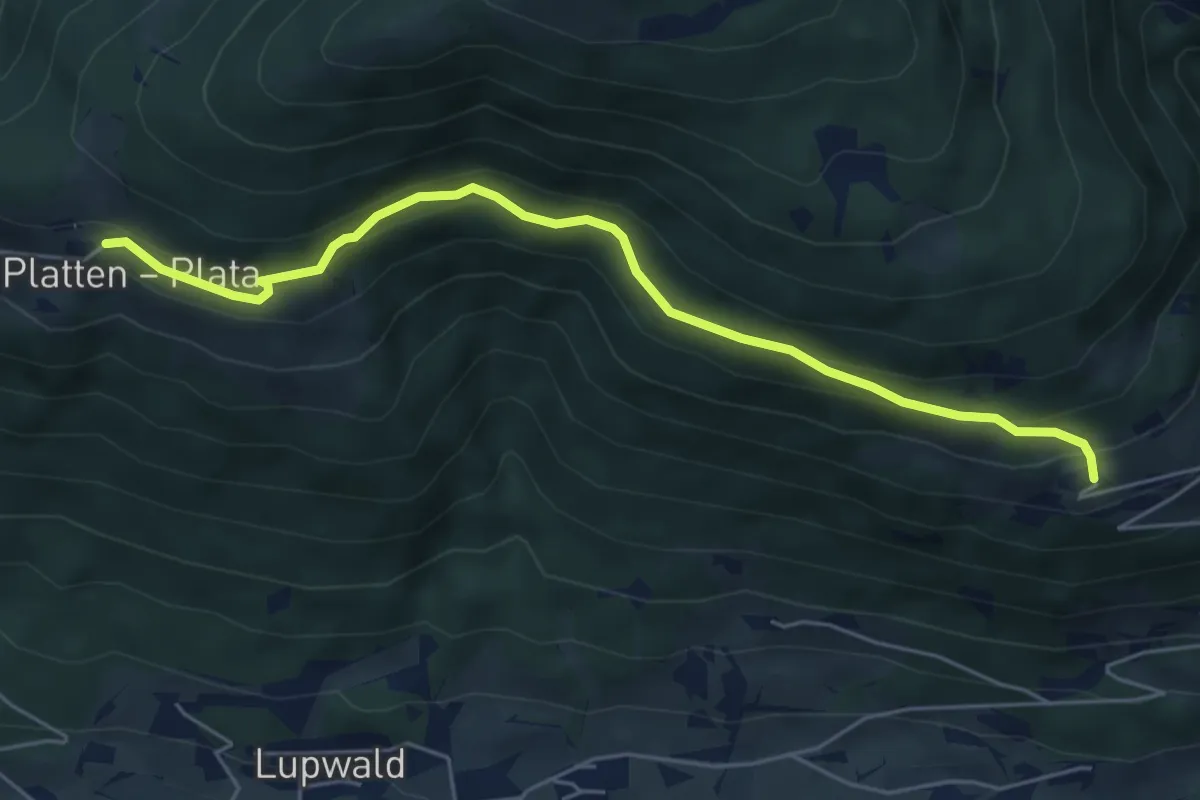
Medium · Trail
Tesselberg
3.2 km · ↑ 289 m · 1 h 23 min · 6 km away
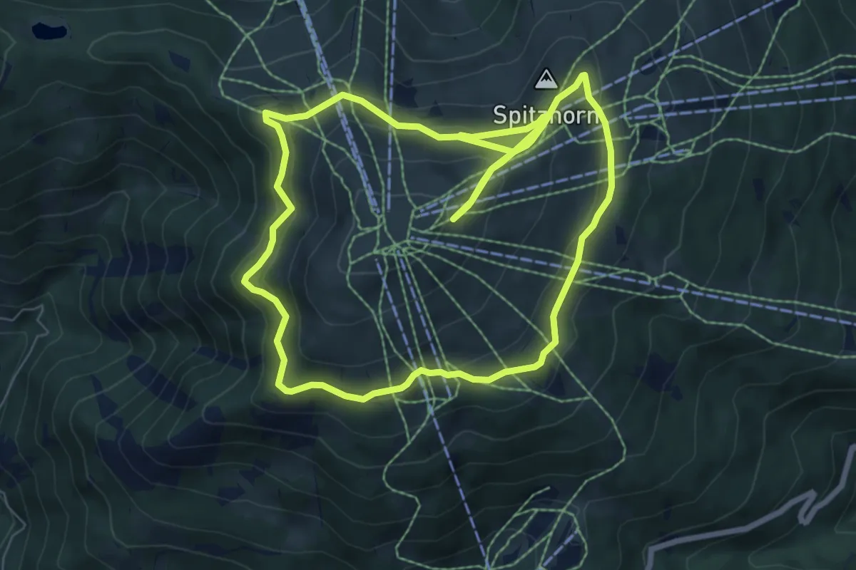
Easy · Trail
Koflsteig
5.6 km · ↑ 317 m · 2 h 1 min · 6 km away
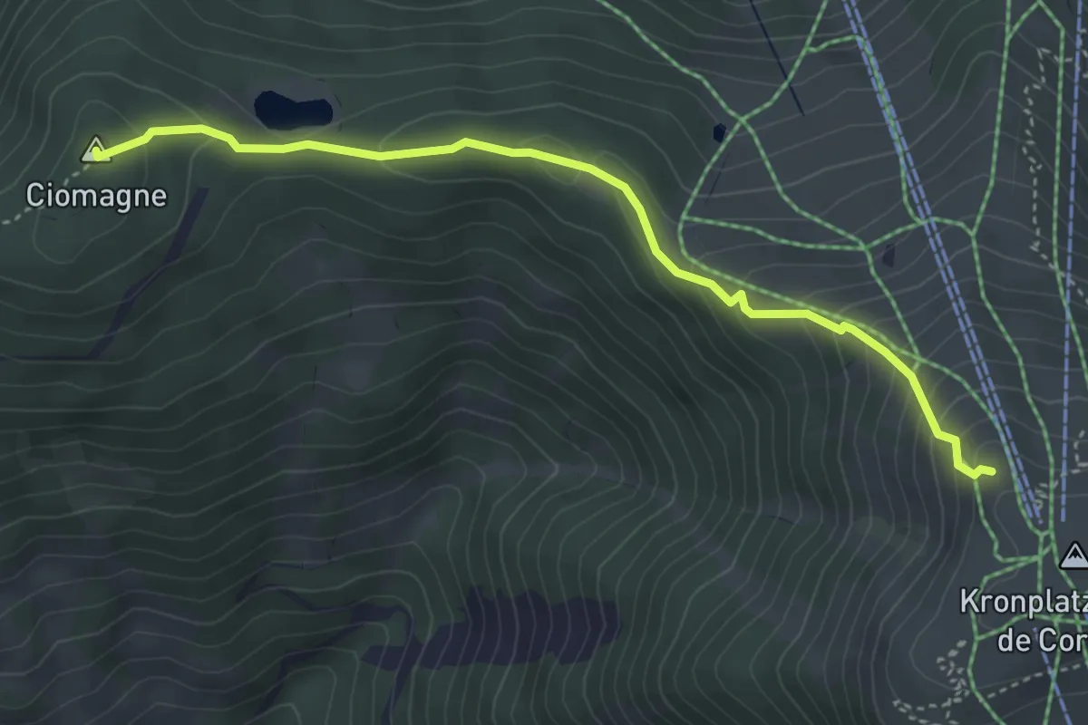
Medium · Summit
Rundweg Corones - Sentiero Corones
7.3 km · ↑ 368 m · 2 h 37 min · 6 km away
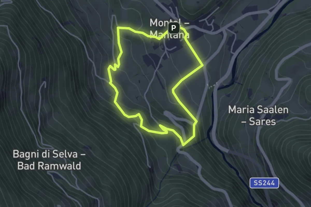
Medium · Summit
Panoramaweg
4.2 km · ↑ 296 m · 1 h 38 min · 6 km away
Easy · Trail
Bunkerweg
3.2 km · ↑ 168 m · 1 h 9 min · 6 km away
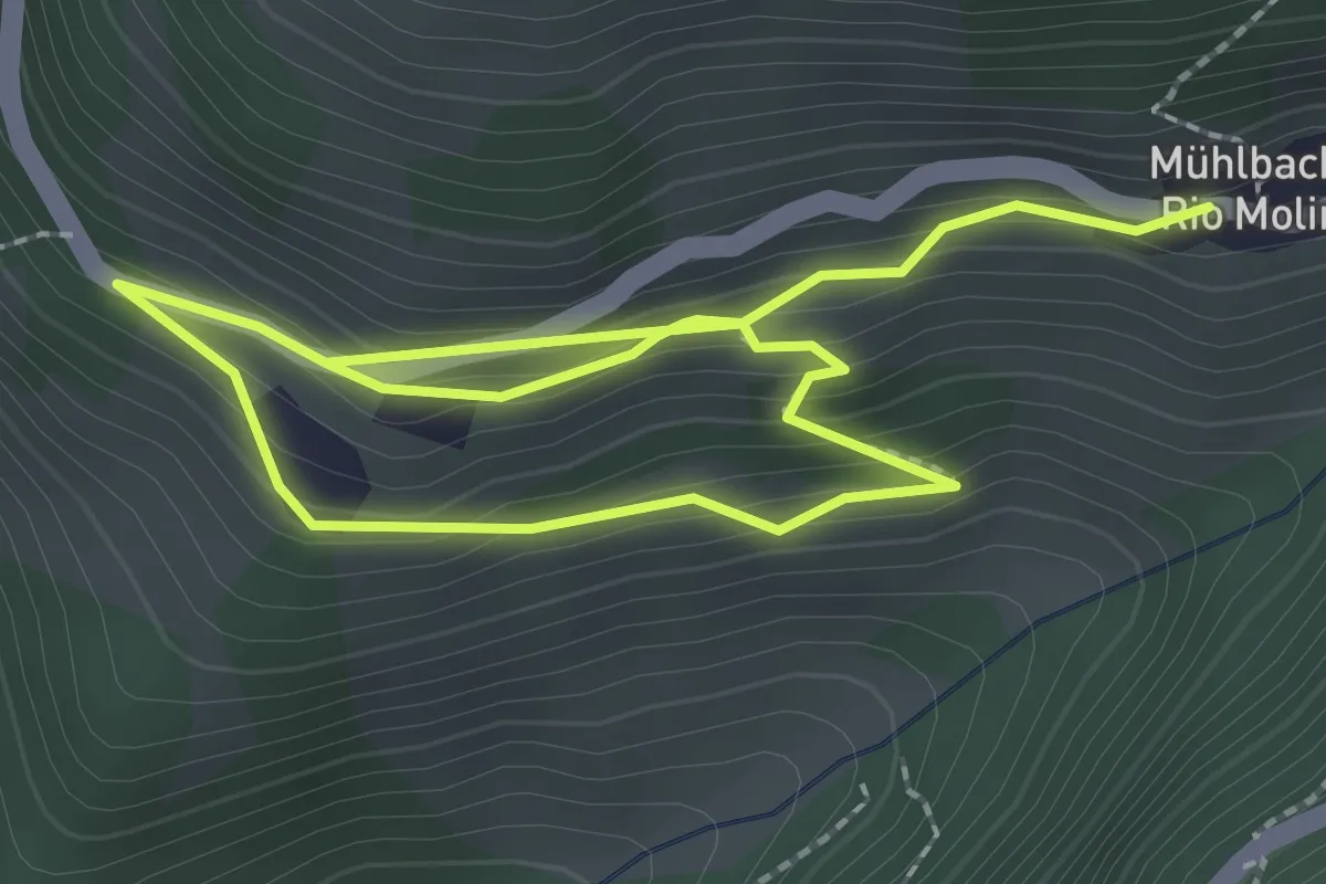
Easy · Trail
Kreuzweg
3.8 km · ↑ 275 m · 1 h 30 min · 7 km away
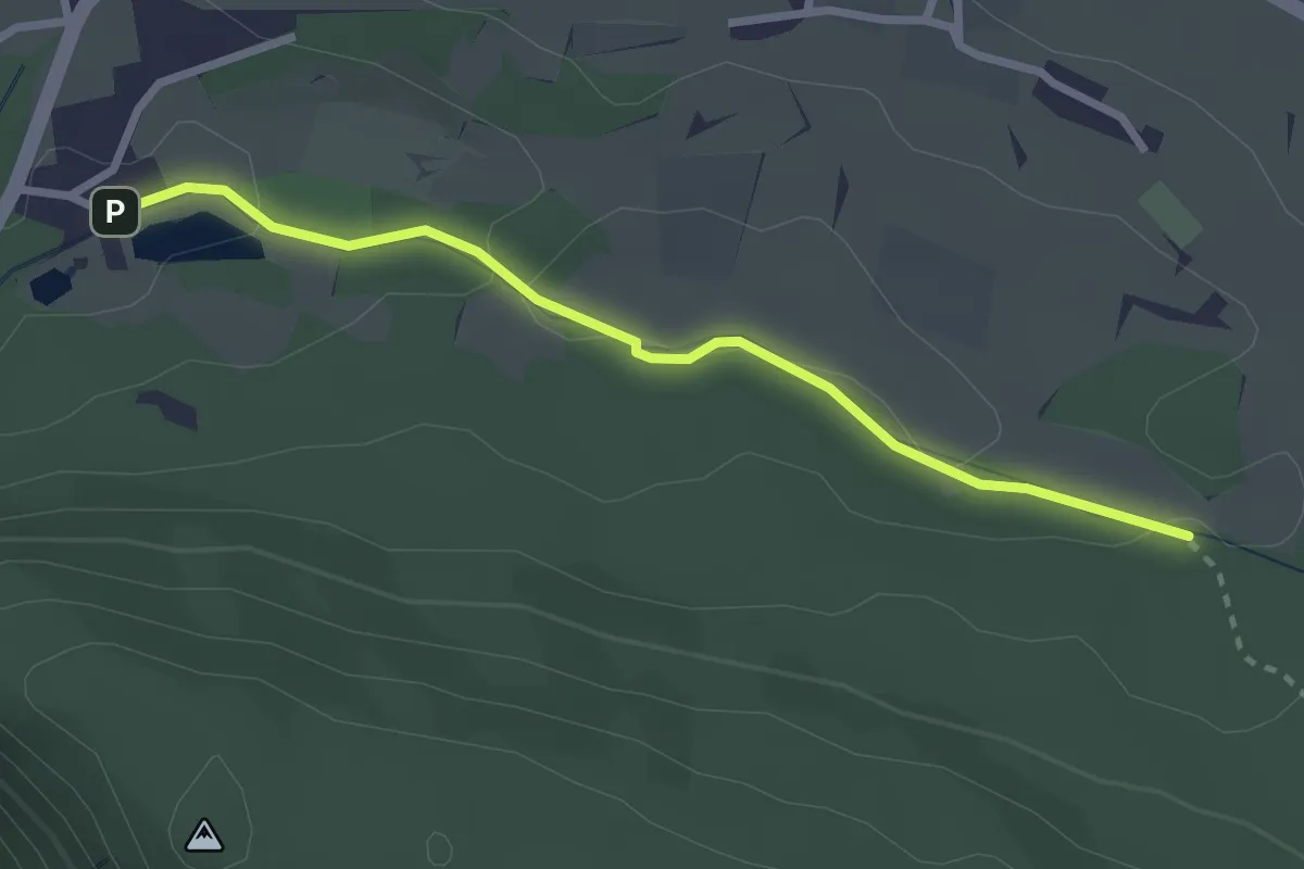
Easy · Trail
Fitnessweg
2.7 km · ↑ 39 m · 43 min · 7 km away
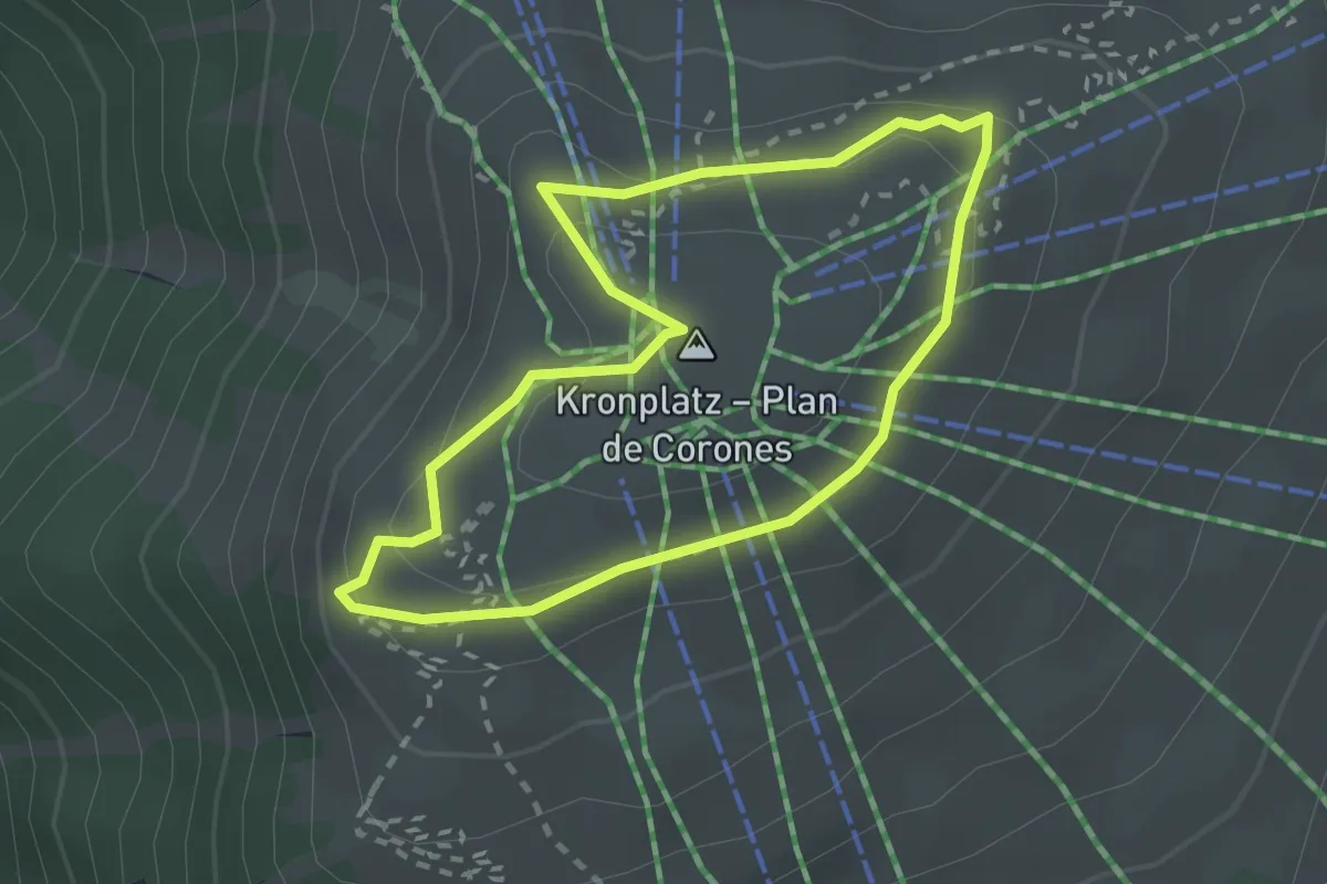
Easy · Summit
Rundweg Concordia - Sentiero Concordia
2.2 km · ↑ 78 m · 43 min · 7 km away
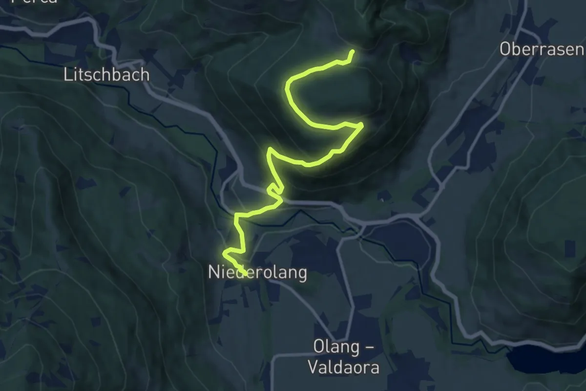
Medium · Trail
Wanderroute 22
10.9 km · ↑ 536 m · 3 h 44 min · 7 km away
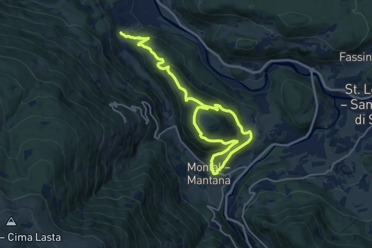
Demanding · Trail
Kienbergweg
16.1 km · ↑ 1024 m · 6 h 1 min · 8 km away
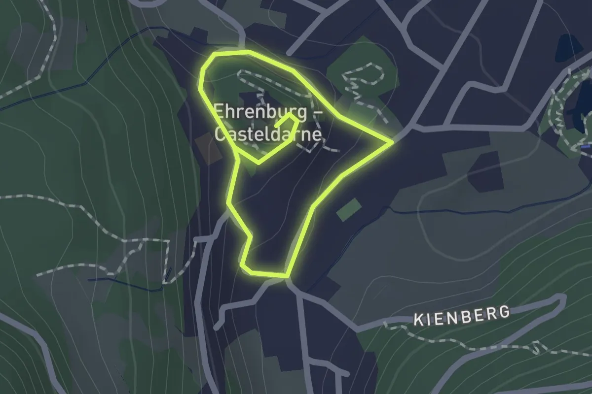
Easy · Trail
Schlossweg
1.1 km · ↑ 49 m · 23 min · 8 km away
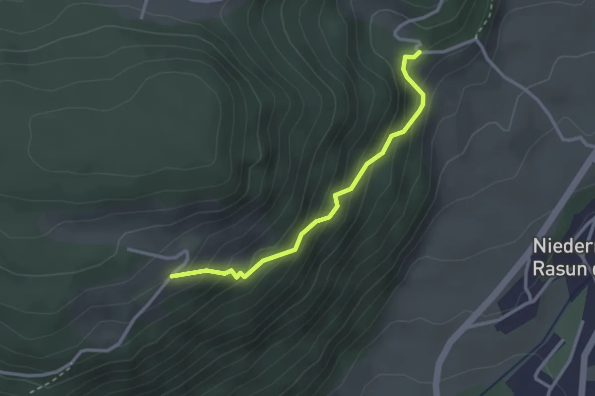
Easy · Trail
Wanderroute 8
2.4 km · ↑ 262 m · 1 h 8 min · 8 km away
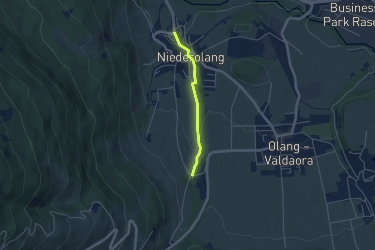
Easy · Trail
Steinmeile
2.9 km · ↑ 80 m · 52 min · 8 km away
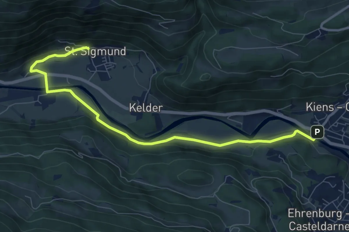
Medium · Trail
Wanderroute 7
8.8 km · ↑ 118 m · 2 h 20 min · 8 km away
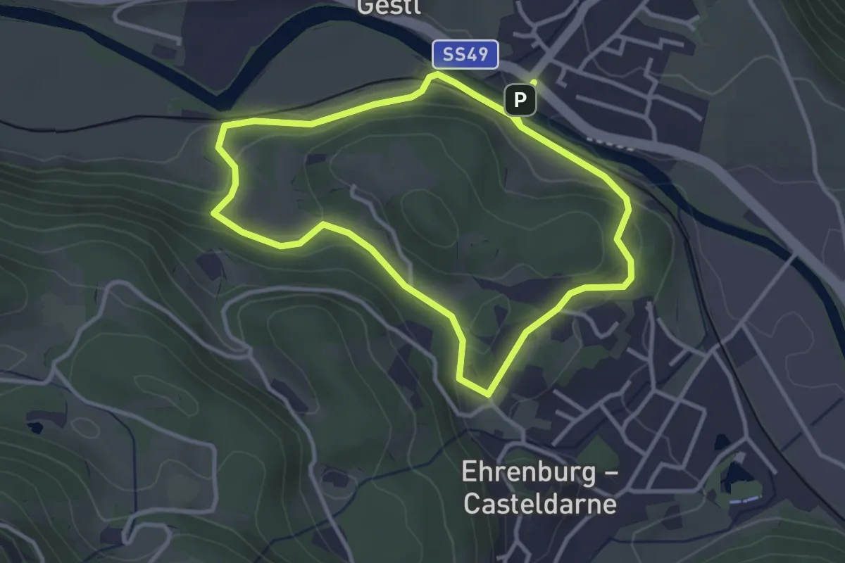
Easy · Trail
Römerweg
3.1 km · ↑ 80 m · 57 min · 8 km away
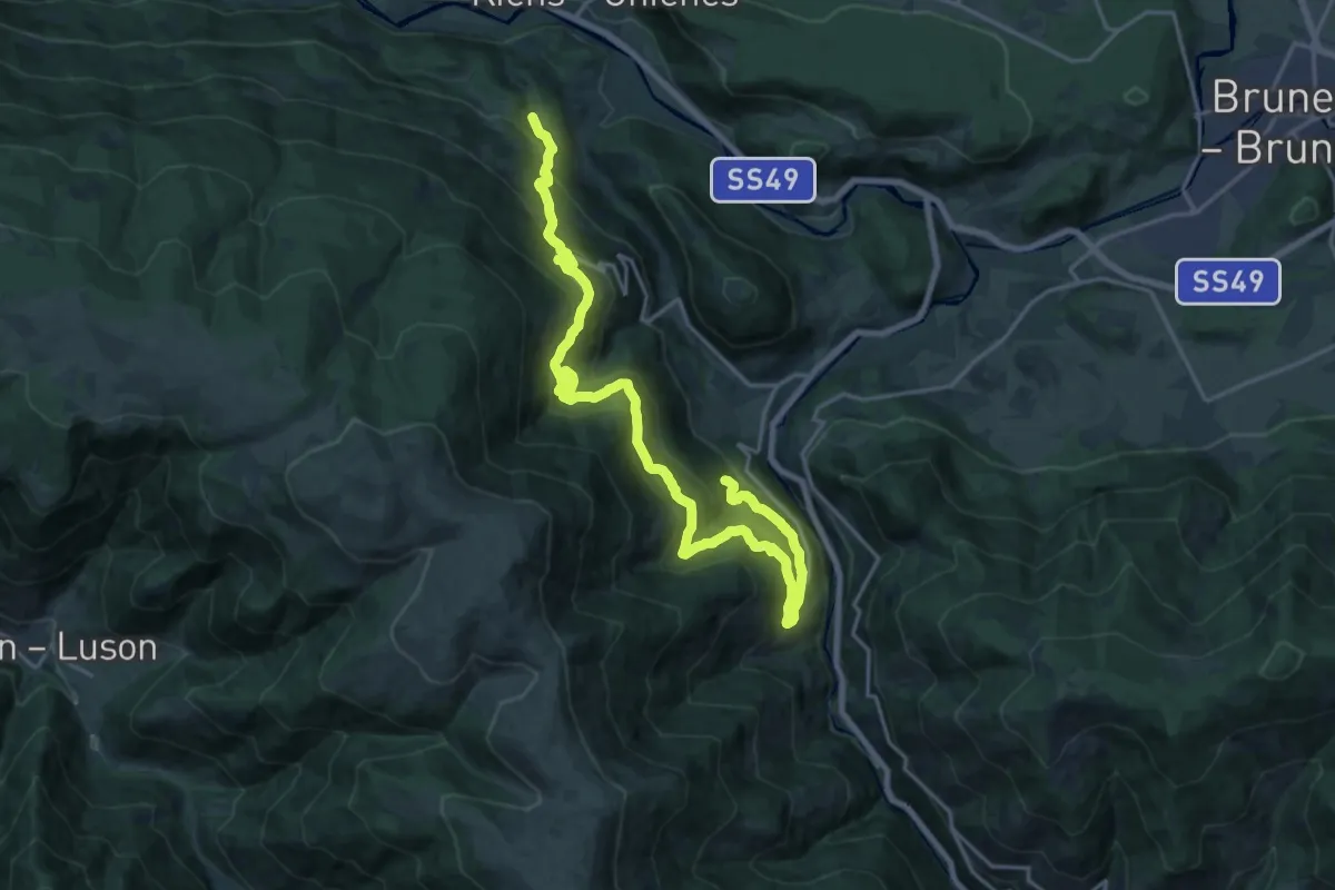
Demanding · Trail
11 - Ehrenburg
11.5 km · ↑ 803 m · 4 h 33 min · 8 km away
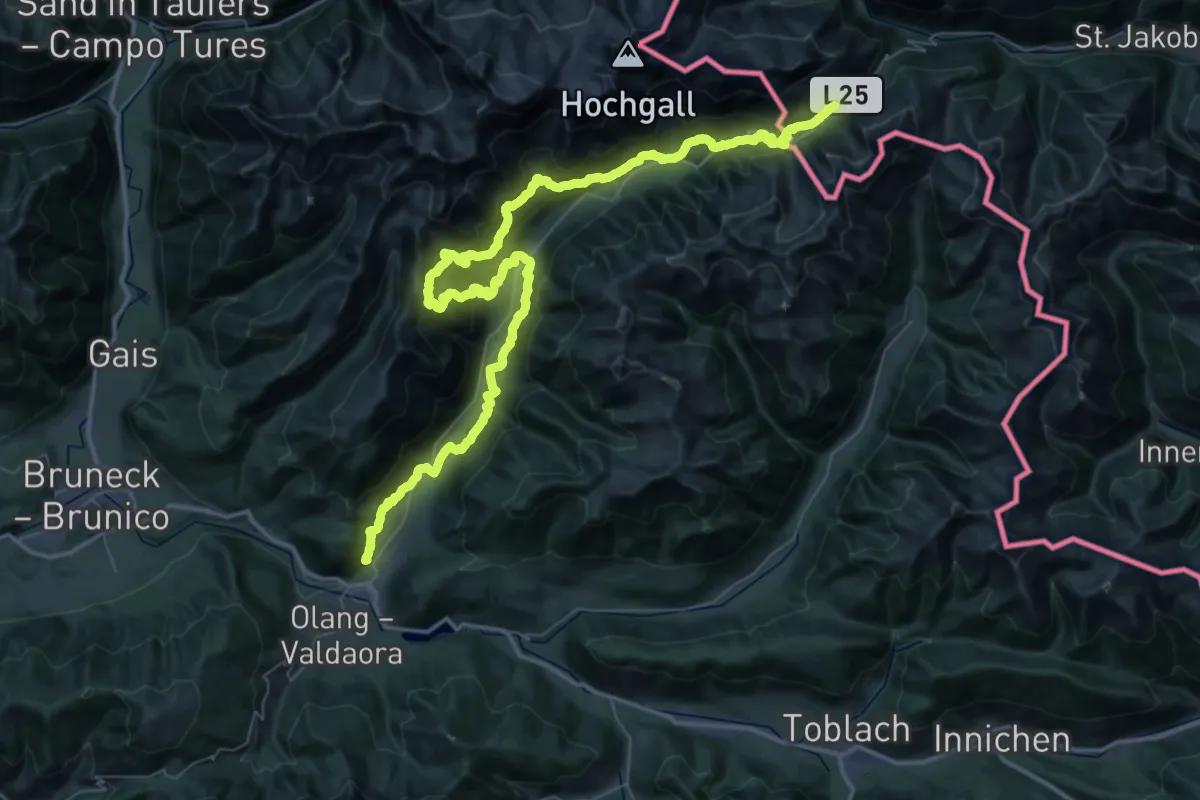
Demanding · Trail
2-Täler-Trail
35.6 km · ↑ 2559 m · 13 h 59 min · 8 km away
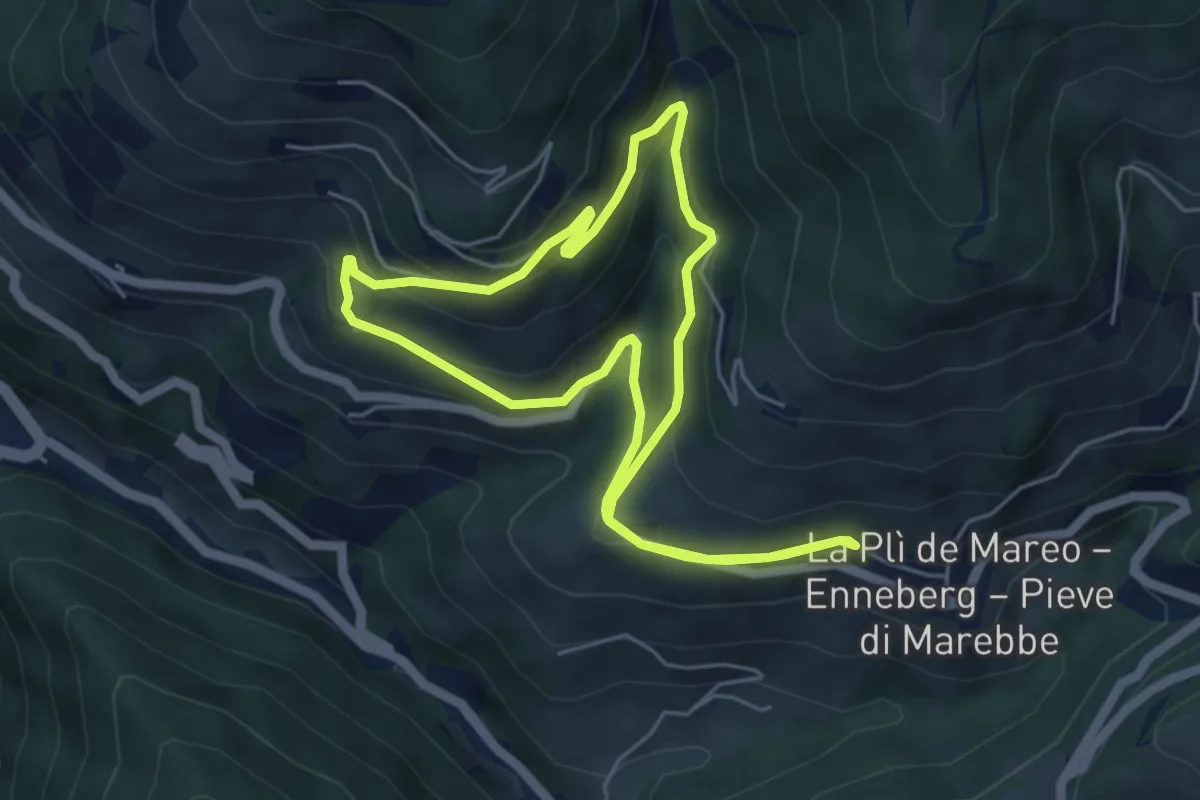
Easy · Trail
Weilerweg A
4.9 km · ↑ 233 m · 1 h 44 min · 8 km away
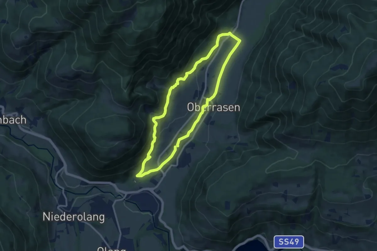
Medium · Trail
Dorfrundweg Rasen
8.5 km · ↑ 282 m · 2 h 44 min · 9 km away
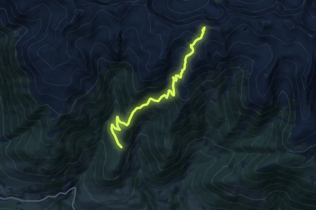
Demanding · Summit
Murmeltierweg
11.2 km · ↑ 894 m · 4 h 35 min · 9 km away
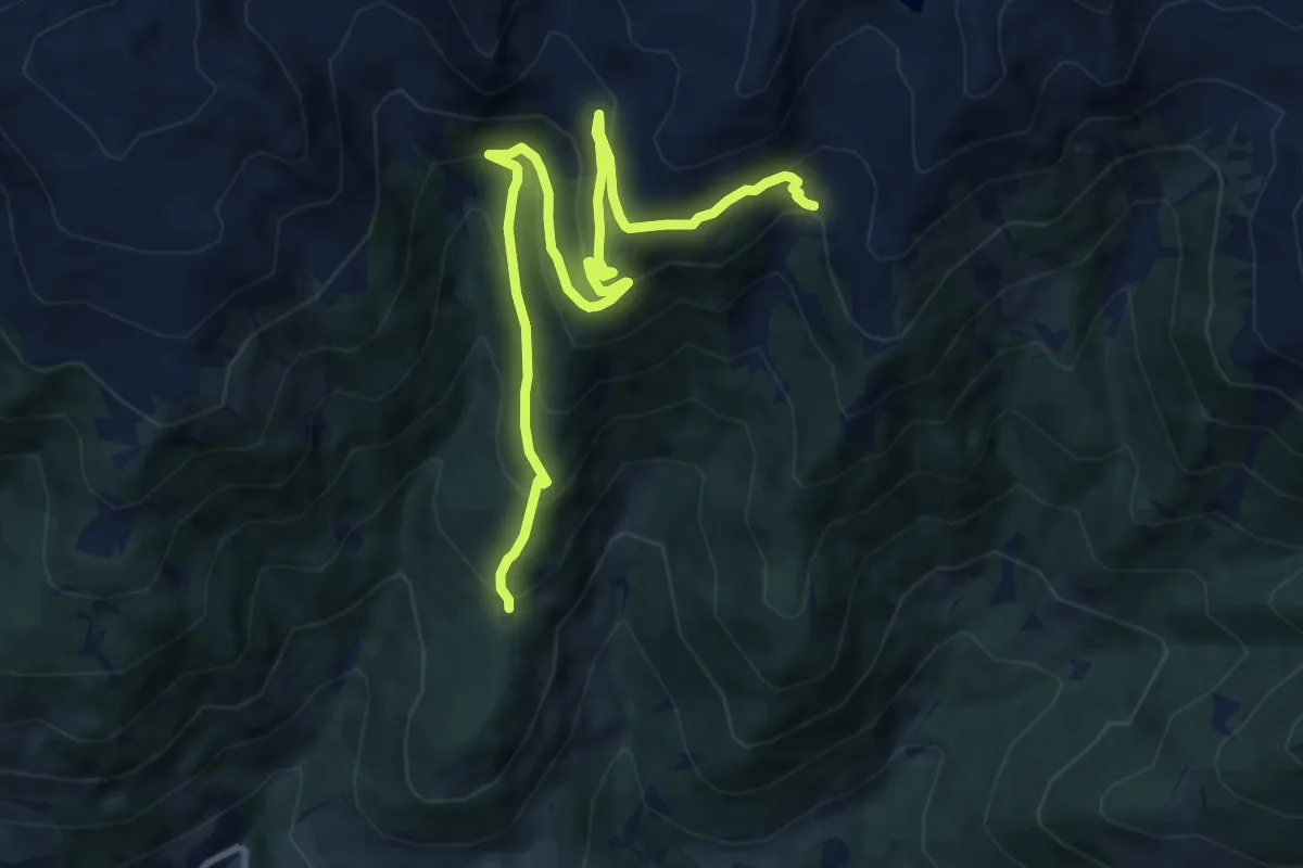
Medium · Trail
Kaltwassertal
11.3 km · ↑ 690 m · 4 h 10 min · 9 km away
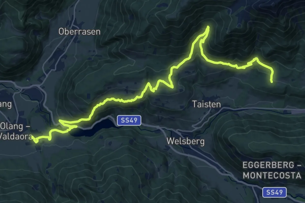
Demanding · Trail
Lottersteig
15.0 km · ↑ 912 m · 5 h 33 min · 9 km away
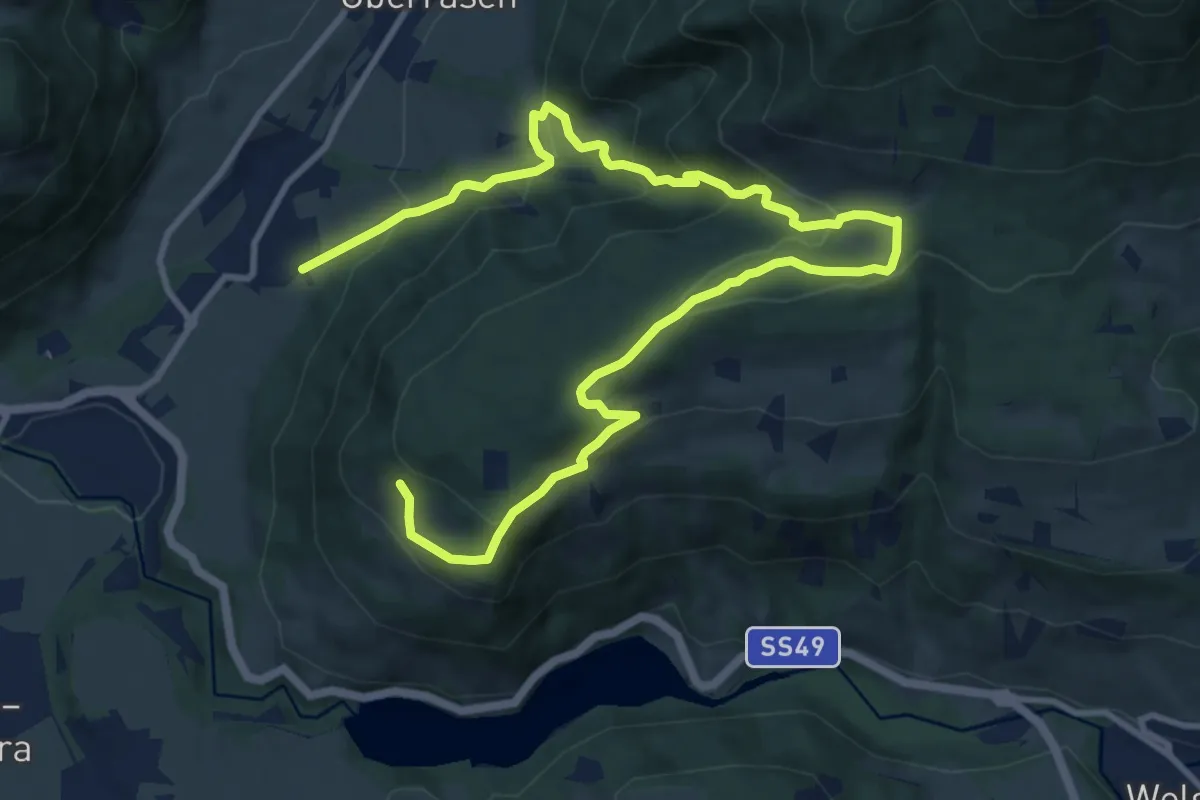
Medium · Trail
Dolomitenblickrunde
7.3 km · ↑ 538 m · 2 h 50 min · 9 km away
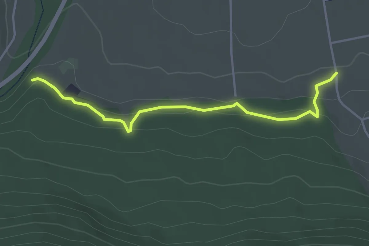
Easy · Trail
Panoramaweg (Olang)
3.4 km · ↑ 100 m · 1 h 1 min · 9 km away
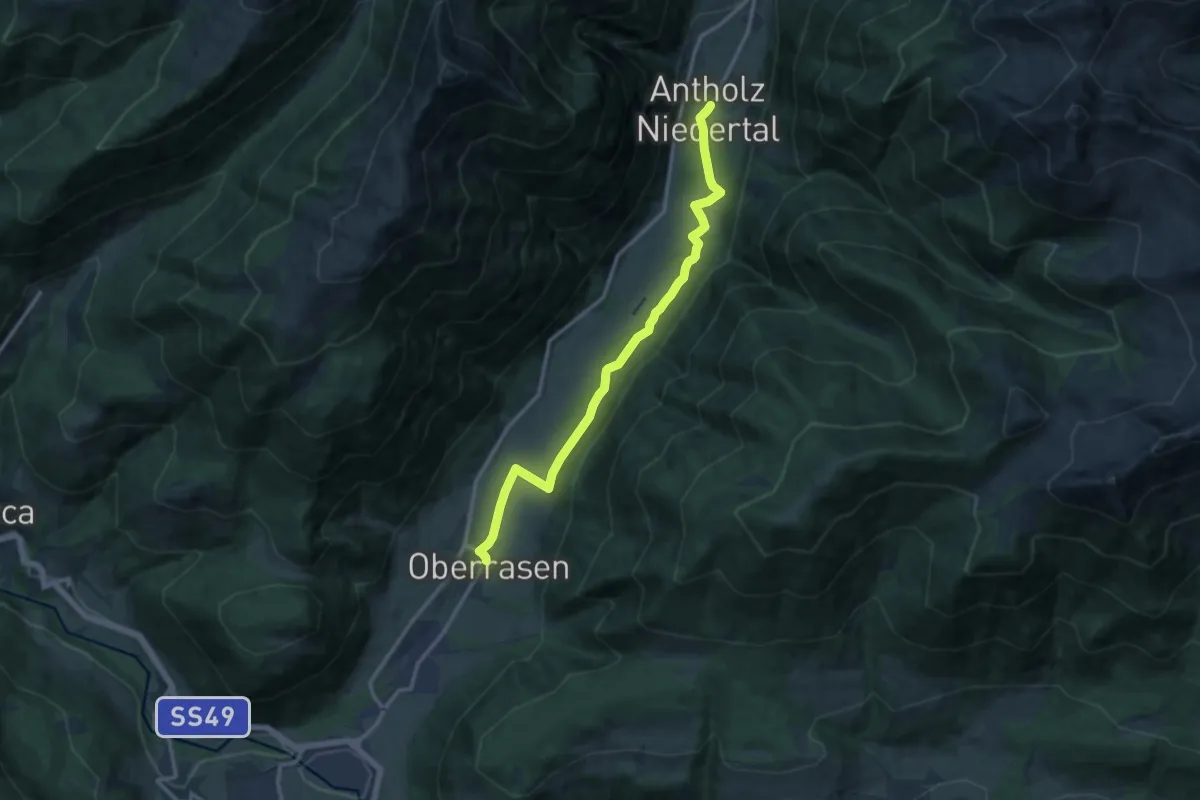
Medium · Trail
Biotopweg - Via del Biotopo
12.5 km · ↑ 136 m · 3 h 15 min · 9 km away
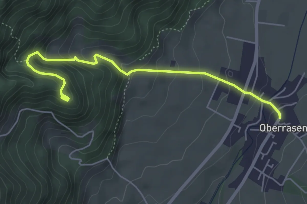
Medium · Trail
Ruinenweg Neurasen
4.7 km · ↑ 346 m · 1 h 52 min · 9 km away
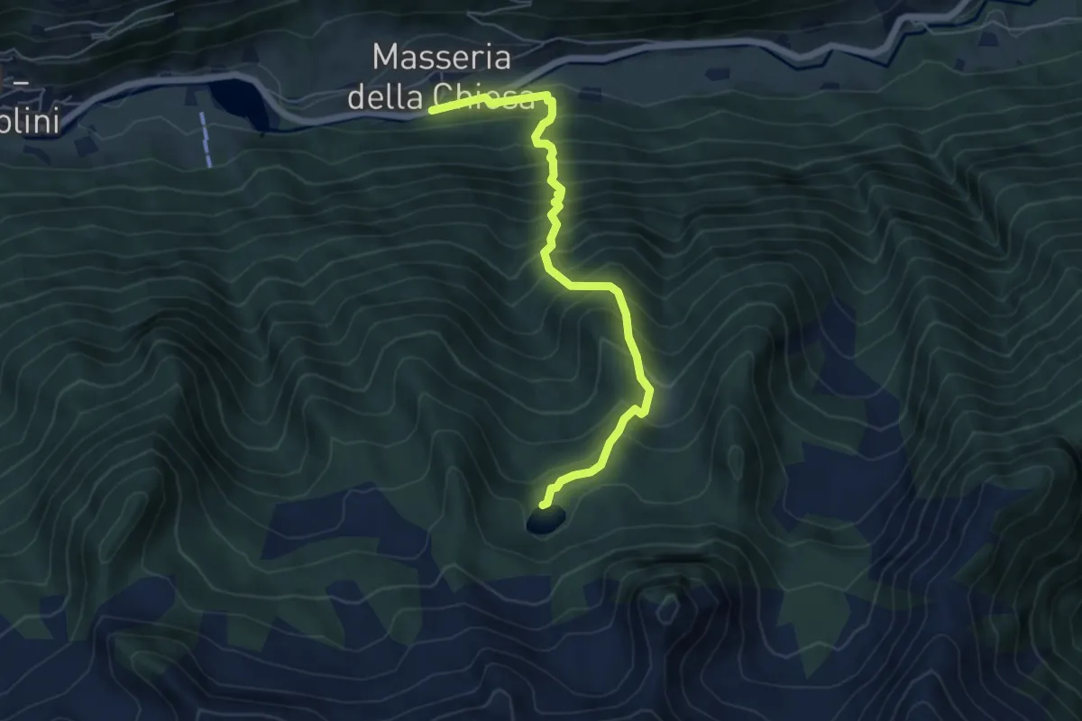
Medium · Trail
Wengsee - Lago di Venga
5.7 km · ↑ 788 m · 3 h 3 min · 10 km away
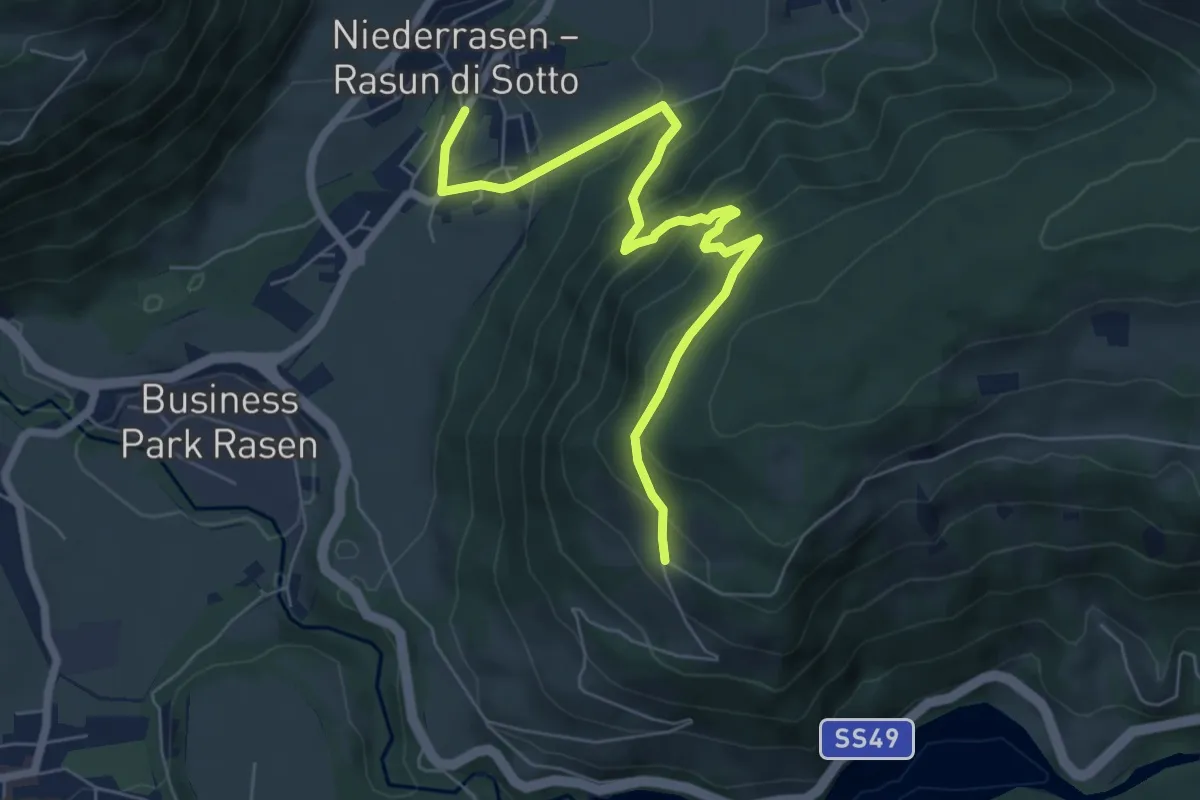
Medium · Trail
Ruinenweg Altrasen
7.0 km · ↑ 503 m · 2 h 44 min · 10 km away
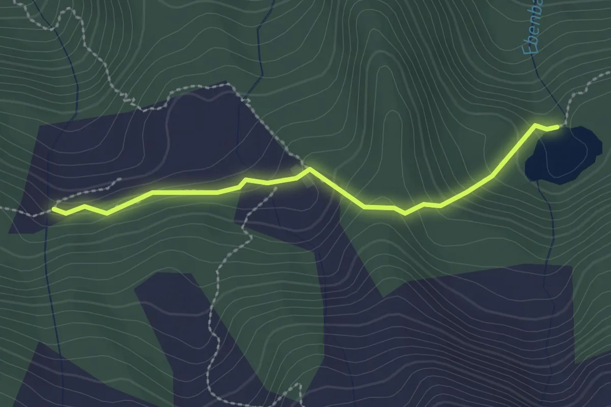
Medium · Trail
Mühlwald/Selva dei Molini AVS 2A
2.4 km · ↑ 155 m · 54 min · 10 km away