Trails near Bruneck - Brunico
110 hikes starting within 15 km, nearest first.
Nearest first, page 2 of 3
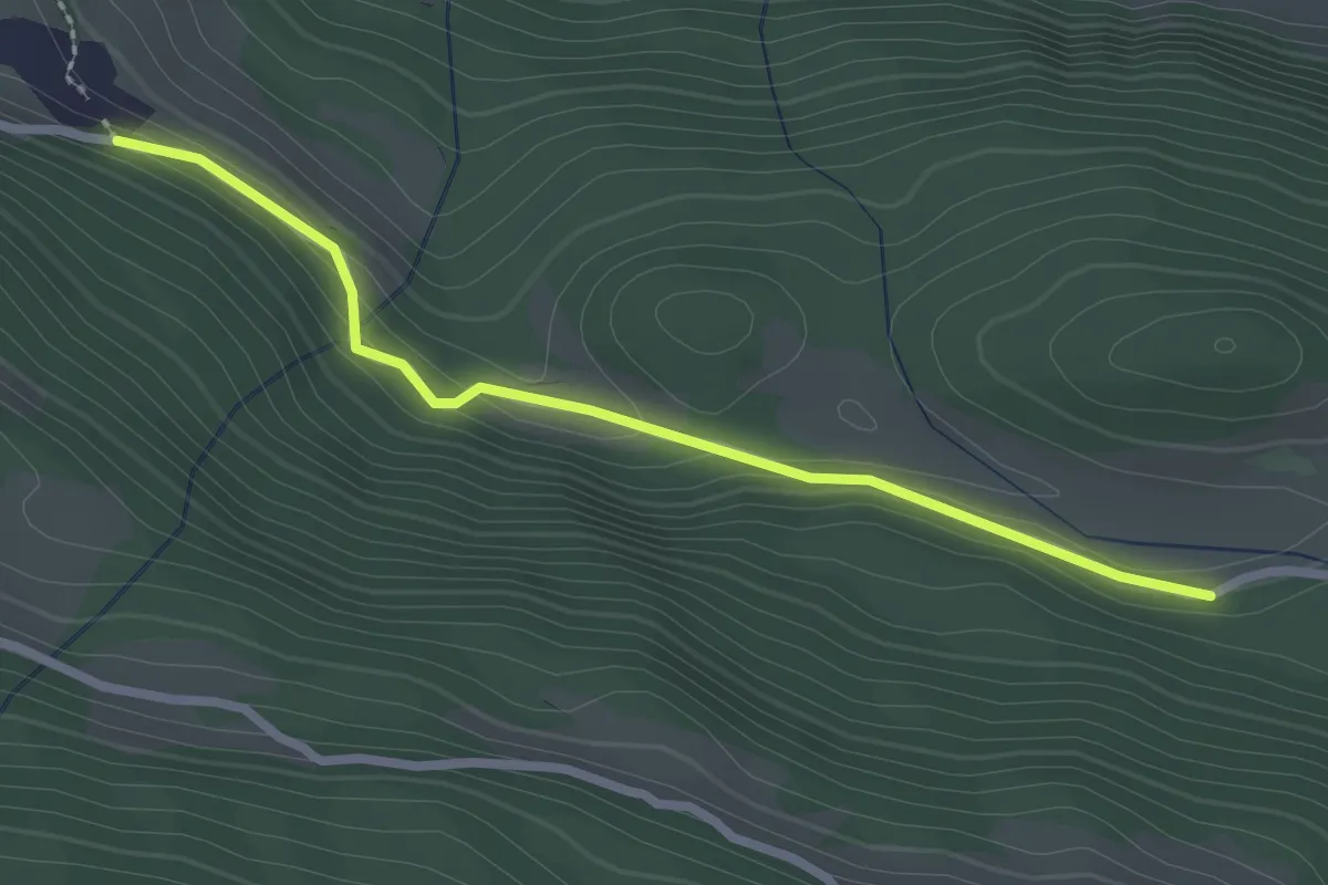
Easy · Trail
Wanderroute 15
2.4 km · ↑ 64 m · 43 min · 10 km away
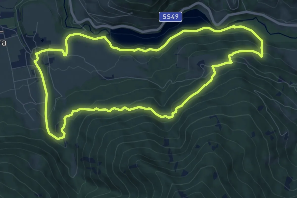
Medium · Trail
Rundweg Salla
9.7 km · ↑ 366 m · 3 h 12 min · 10 km away
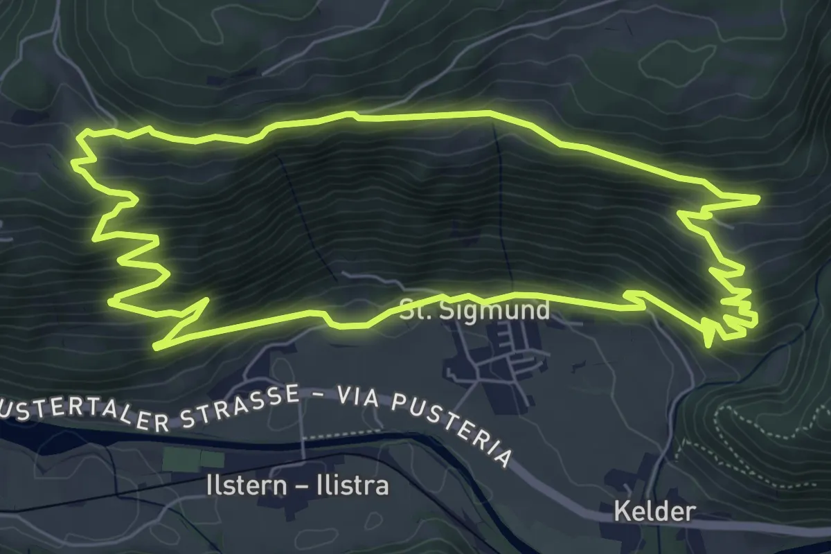
Medium · Trail
Schmetterlingweg
7.3 km · ↑ 467 m · 2 h 51 min · 10 km away
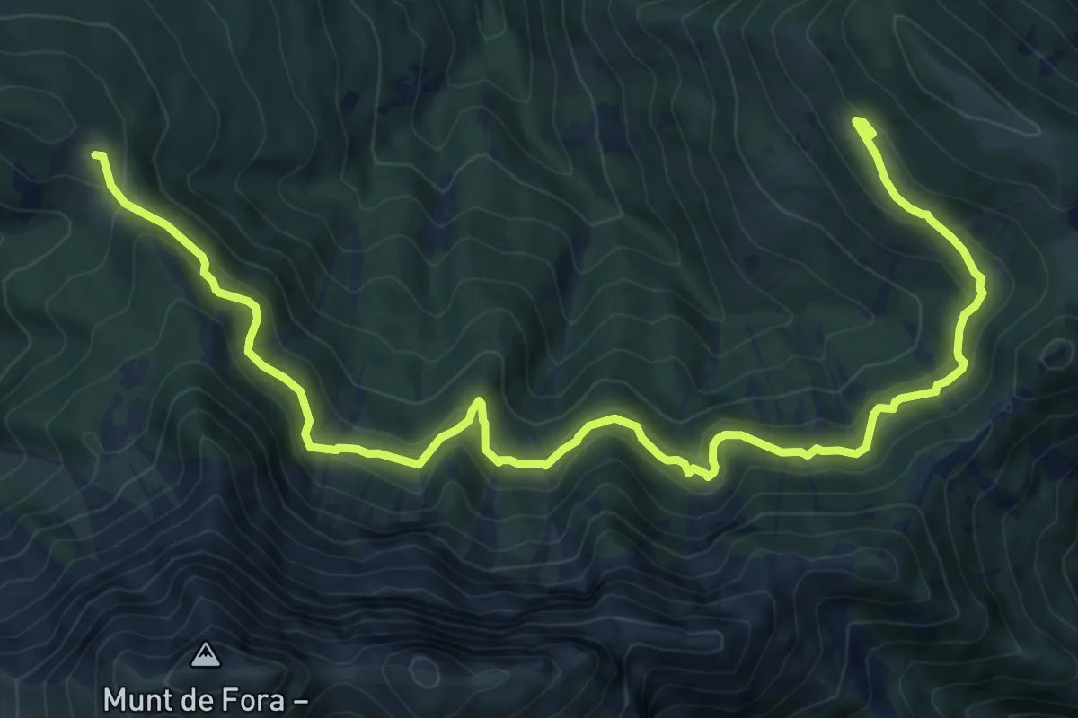
Demanding · Cabin
Almsteig
12.6 km · ↑ 667 m · 4 h 25 min · 10 km away
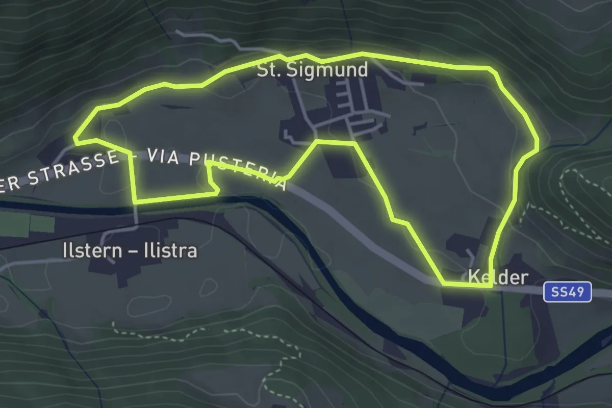
Easy · Trail
Dorfrundweg St. Sigmund
3.8 km · ↑ 94 m · 1 h 10 min · 10 km away
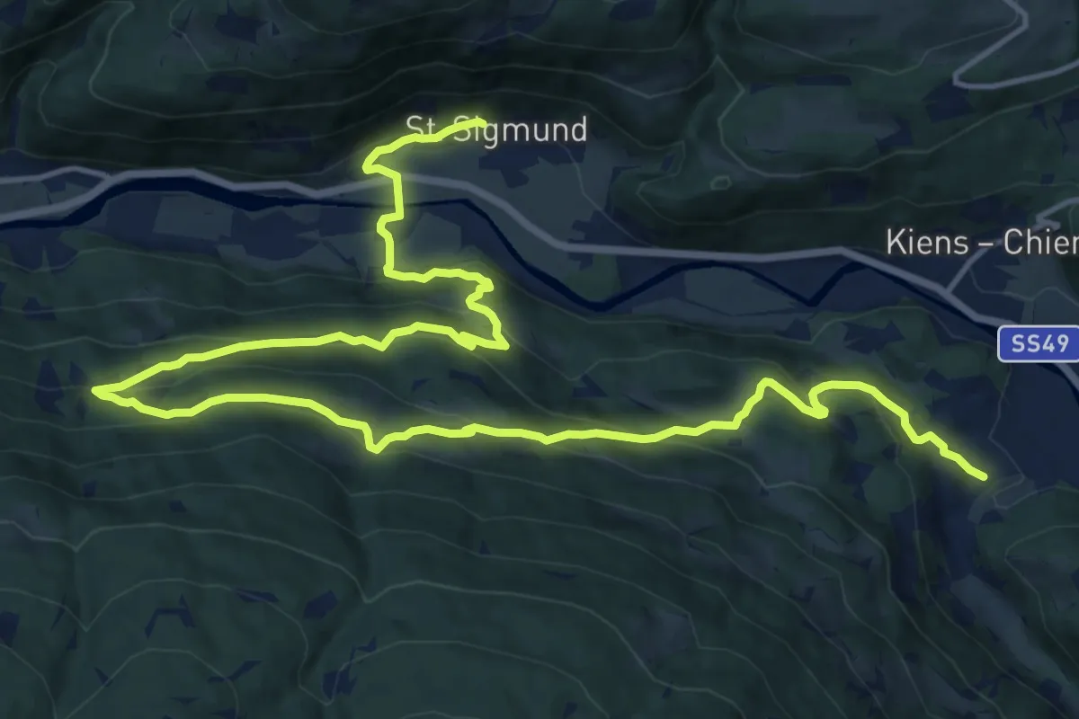
Demanding · Trail
Höfeweg
21.5 km · ↑ 1093 m · 7 h 27 min · 10 km away
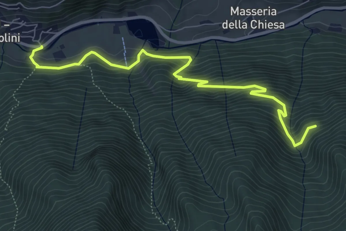
Medium · Trail
Wengsee - Lago di Venga
7.3 km · ↑ 512 m · 2 h 50 min · 10 km away
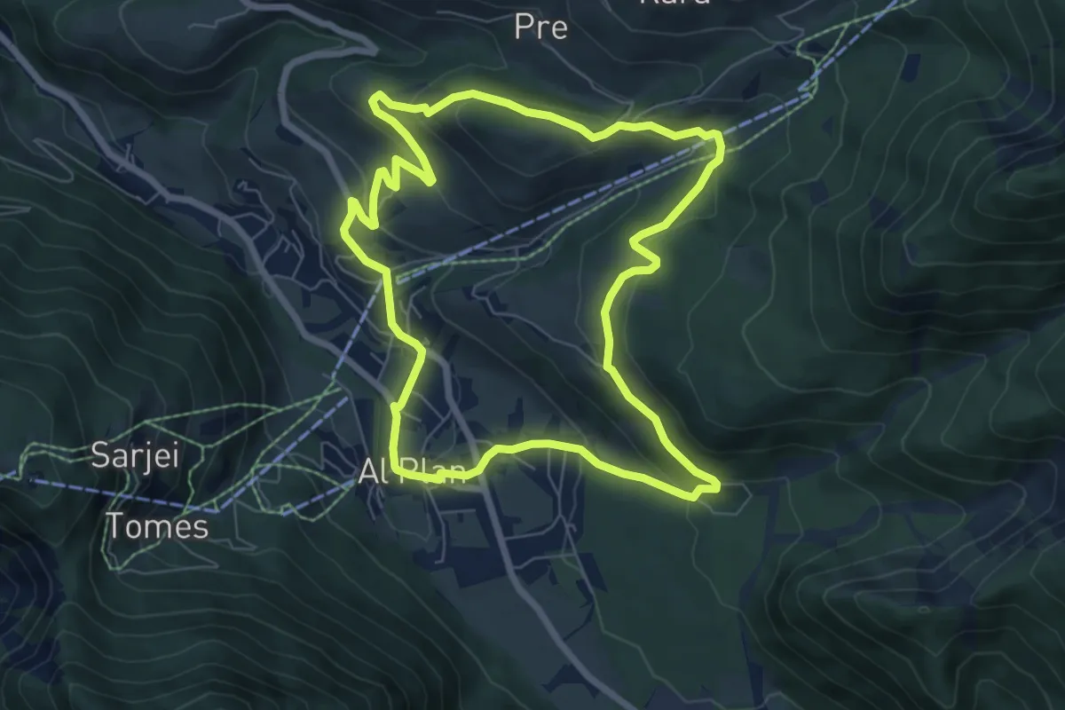
Easy · Trail
A Soredl
7.0 km · ↑ 249 m · 2 h 17 min · 11 km away
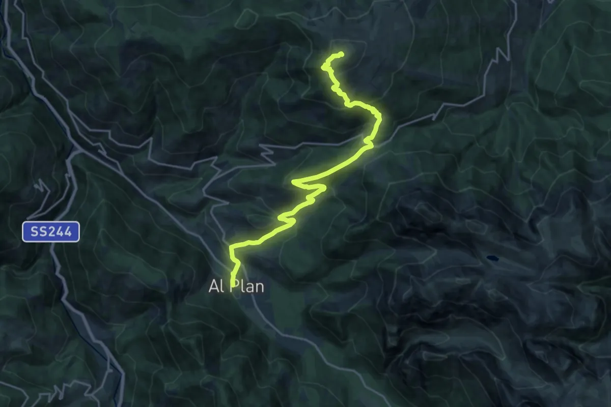
Demanding · Summit
1 - Al Plan de Mareo => Kronplatz
19.0 km · ↑ 1163 m · 7 h 1 min · 11 km away
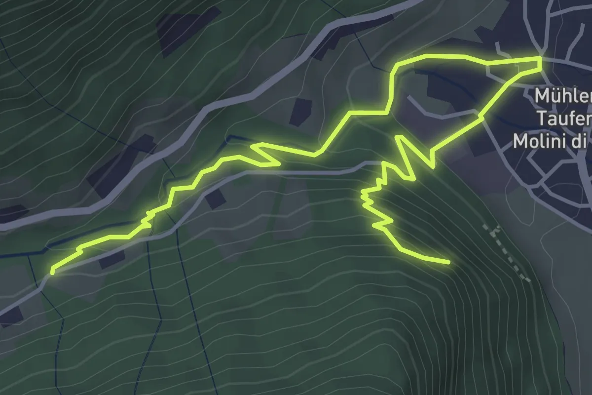
Medium · Trail
Mühlener Klamme
5.7 km · ↑ 366 m · 2 h 9 min · 11 km away
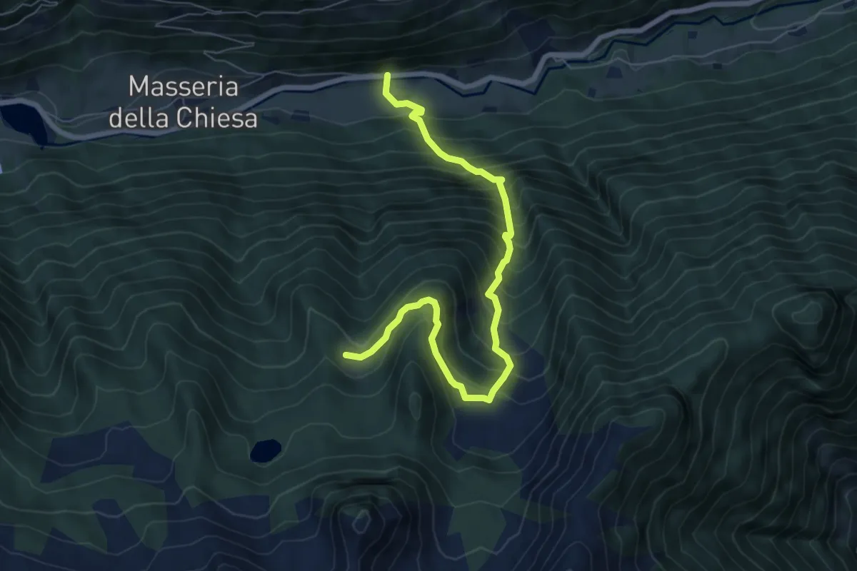
Demanding · Trail
Bruggeralm
7.1 km · ↑ 894 m · 3 h 37 min · 11 km away
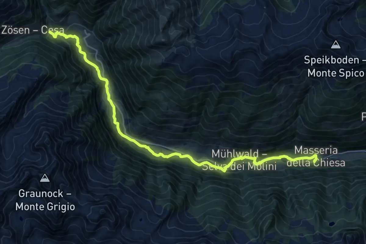
Demanding · Trail
Talweg
21.0 km · ↑ 634 m · 6 h 20 min · 11 km away
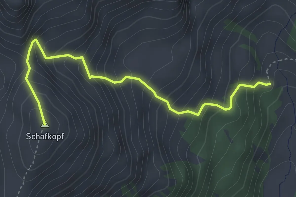
Medium · Summit
Schafkopf
3.7 km · ↑ 519 m · 2 h · 11 km away
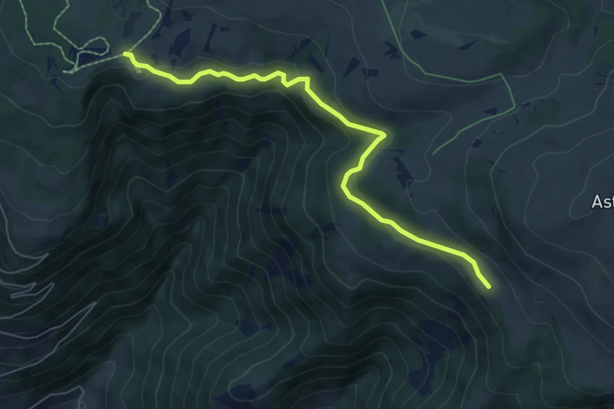
Easy · Trail
Griablsteig
6.3 km · ↑ 188 m · 1 h 54 min · 12 km away
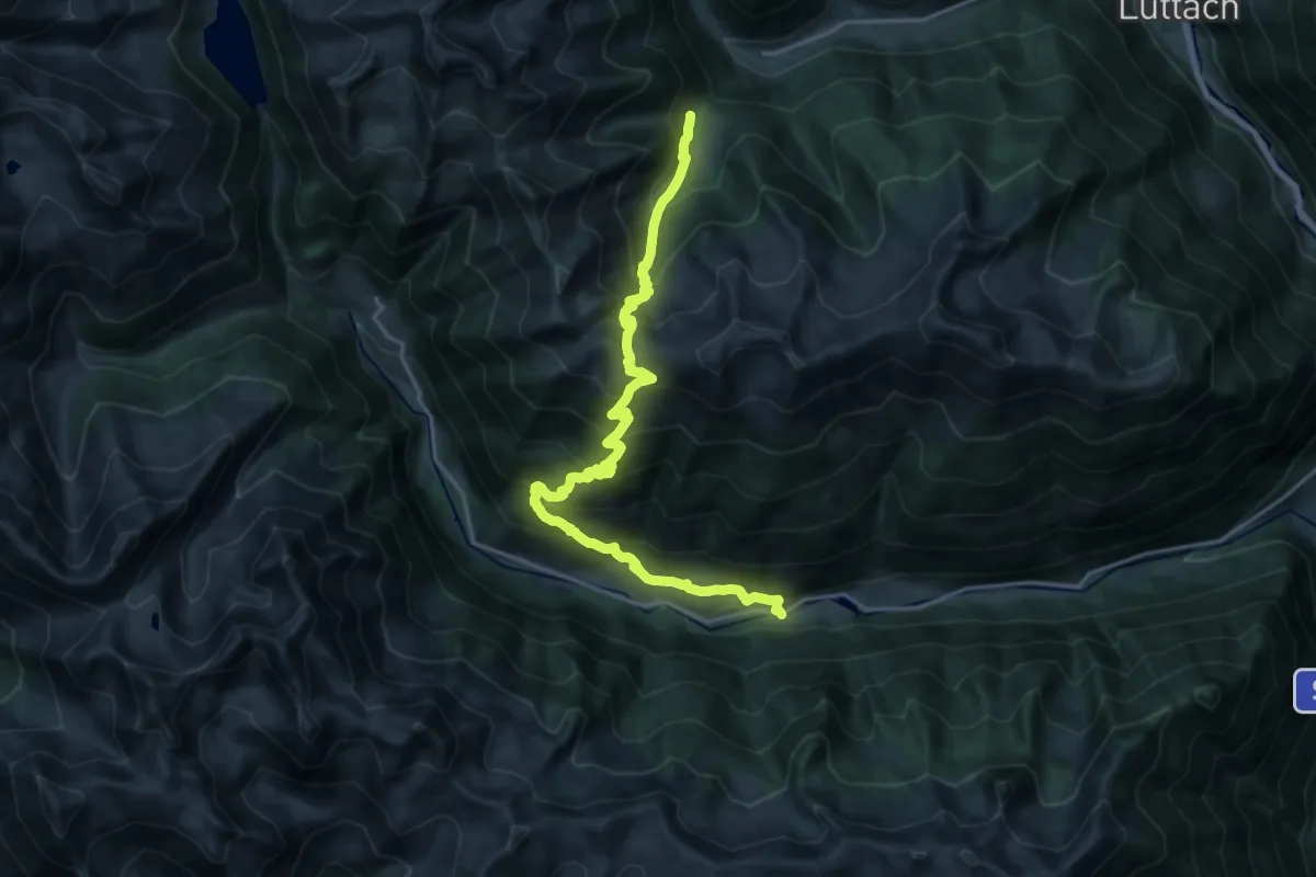
Demanding · Trail
Gorner Joch
11.2 km · ↑ 1157 m · 5 h 2 min · 12 km away
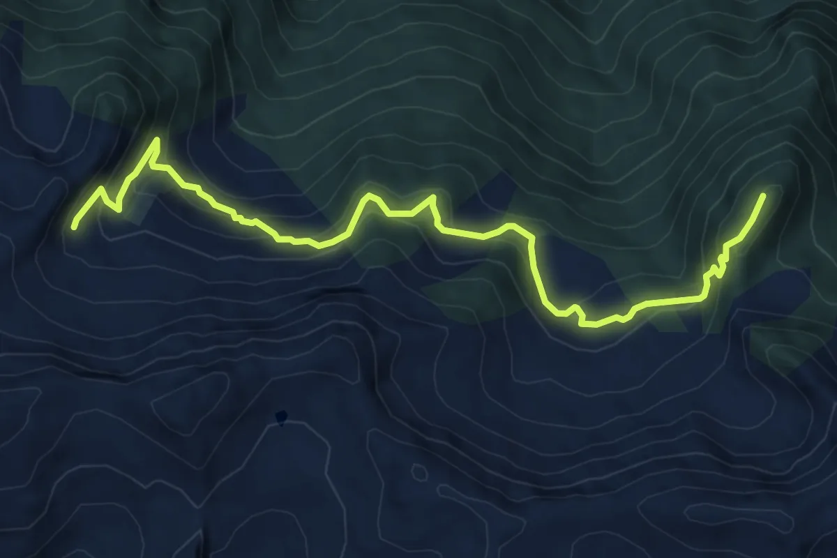
Medium · Summit
Mühlwalder Almenweg
8.6 km · ↑ 618 m · 3 h 22 min · 12 km away
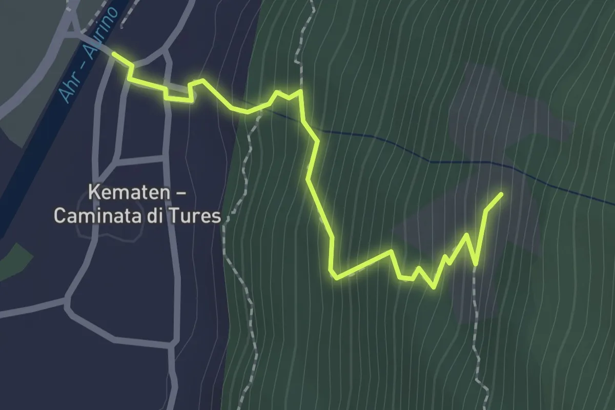
Easy · Trail
Kirchsteig
2.1 km · ↑ 251 m · 1 h 2 min · 12 km away
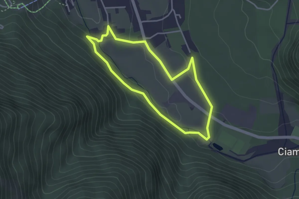
Easy · Trail
Tru dles liondes de Fanes
2.8 km · ↑ 54 m · 49 min · 12 km away
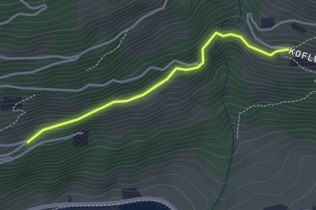
Easy · Trail
Kirchweg
2.4 km · ↑ 133 m · 51 min · 12 km away
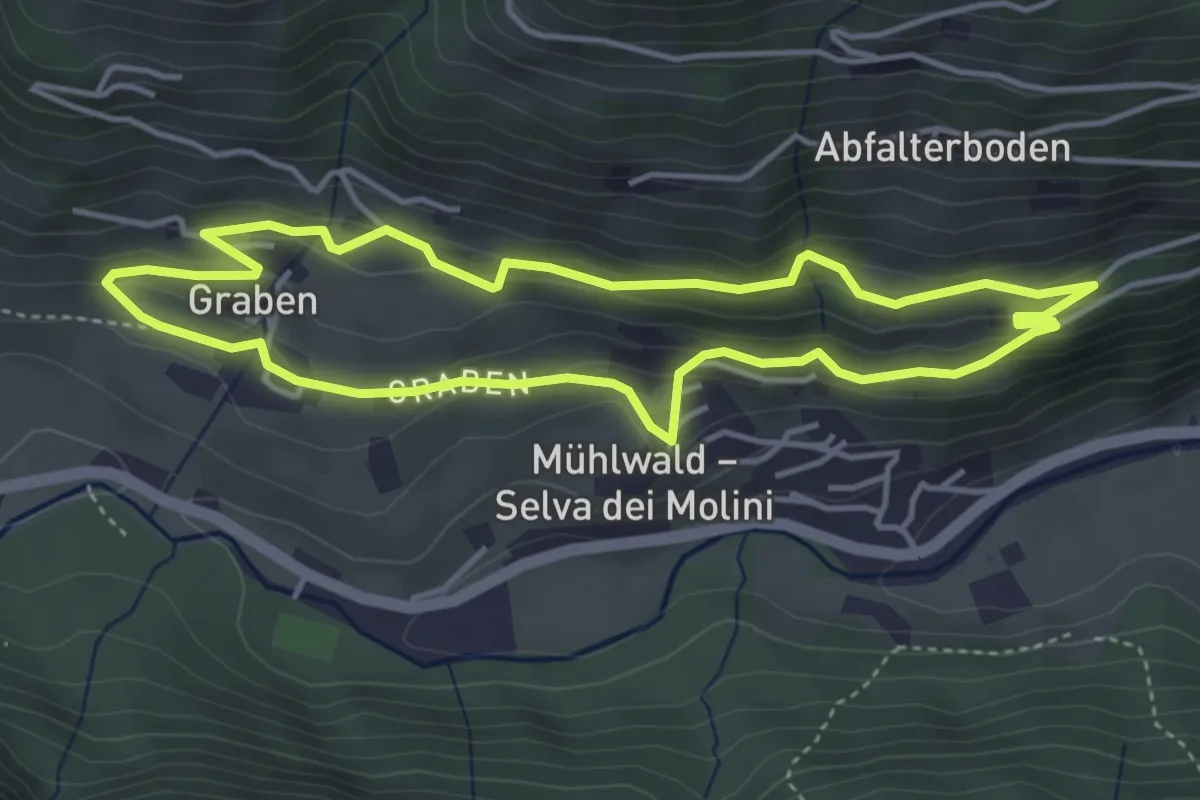
Easy · Trail
Weg übers Dorf
4.0 km · ↑ 199 m · 1 h 25 min · 12 km away
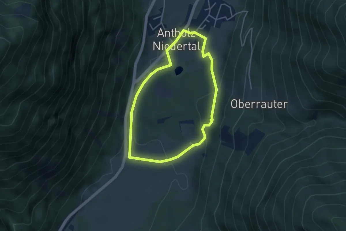
Easy · Trail
Dorfrundweg Niedertal
3.0 km · ↑ 90 m · 57 min · 12 km away
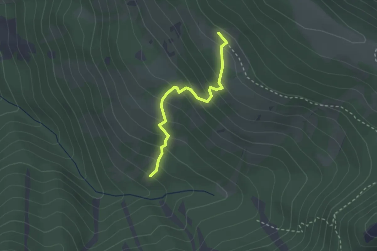
Demanding · Cabin
Knollsteig
2.2 km · ↑ 222 m · 1 h 1 min · 13 km away
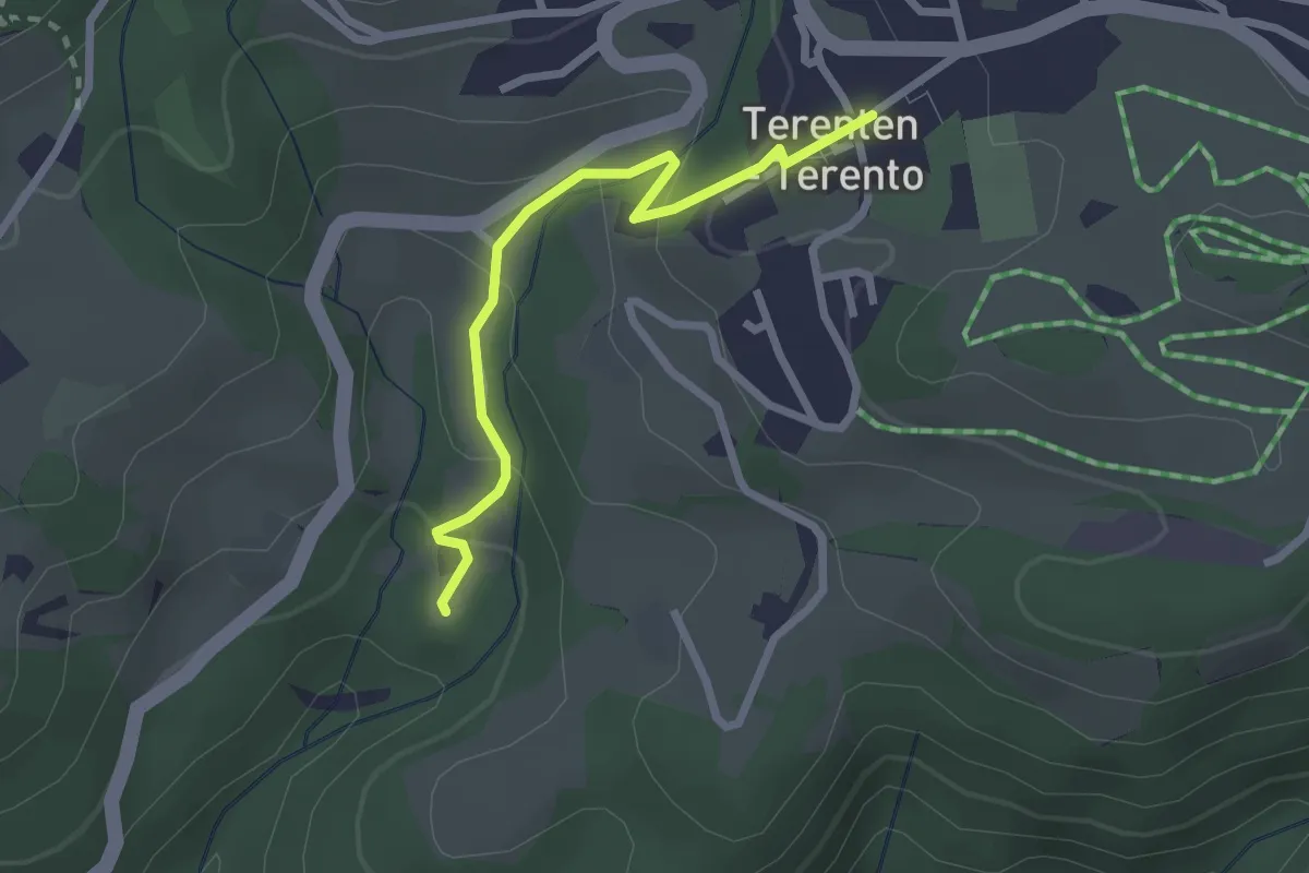
Easy · Trail
Besinnungsweg
2.3 km · ↑ 131 m · 50 min · 13 km away
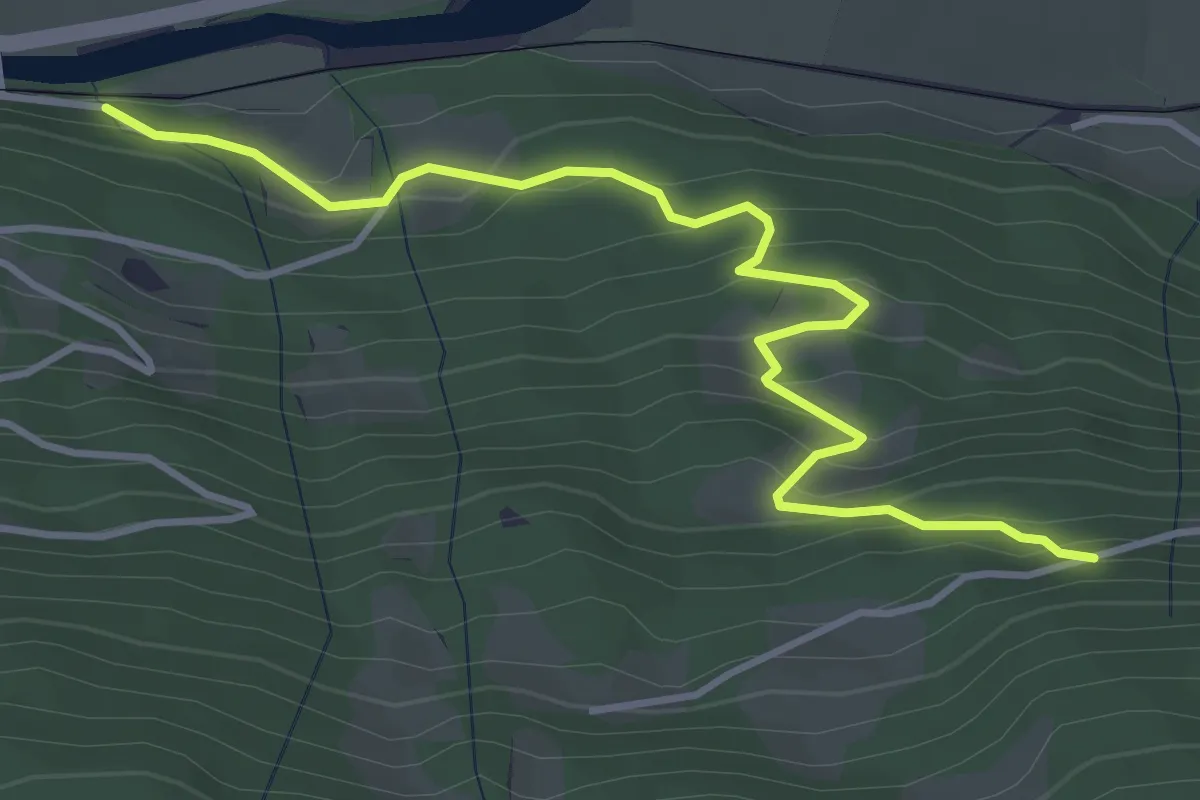
Easy · Trail
Wanderroute 8A
4.3 km · ↑ 300 m · 1 h 40 min · 13 km away
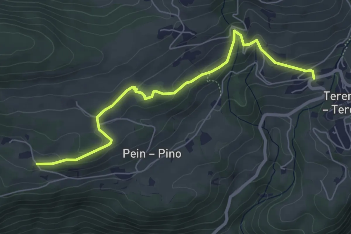
Easy · Trail
Panoramaweg
5.7 km · ↑ 218 m · 1 h 49 min · 13 km away
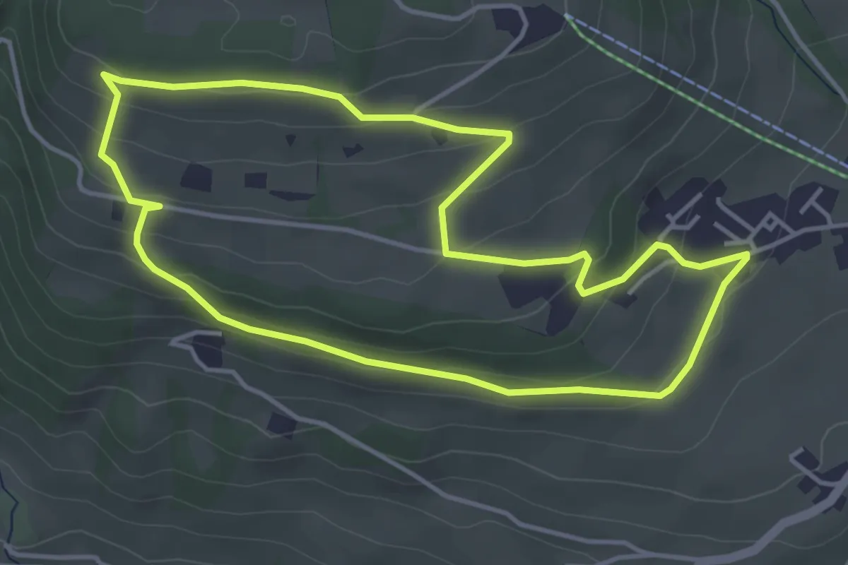
Easy · Trail
Taistner Sagenweg - Sentiero delle fiabe di Tesido
4.1 km · ↑ 163 m · 1 h 22 min · 13 km away
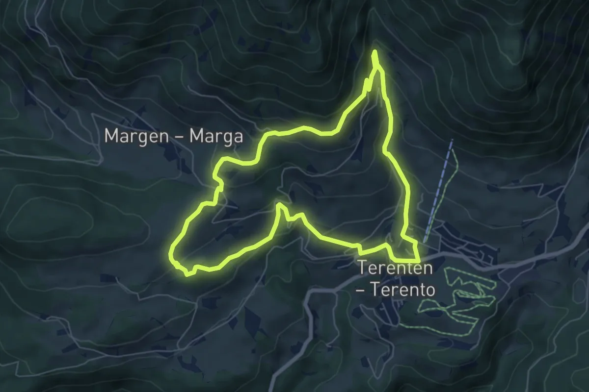
Medium · Trail
Natur- und Kulturweg
6.4 km · ↑ 319 m · 2 h 17 min · 13 km away
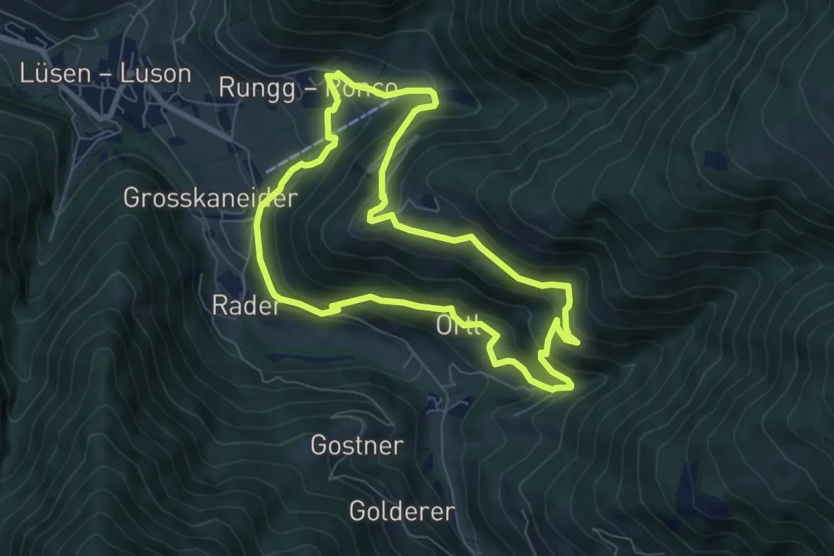
Demanding · Trail
Flittrunde
6.4 km · ↑ 435 m · 2 h 33 min · 13 km away
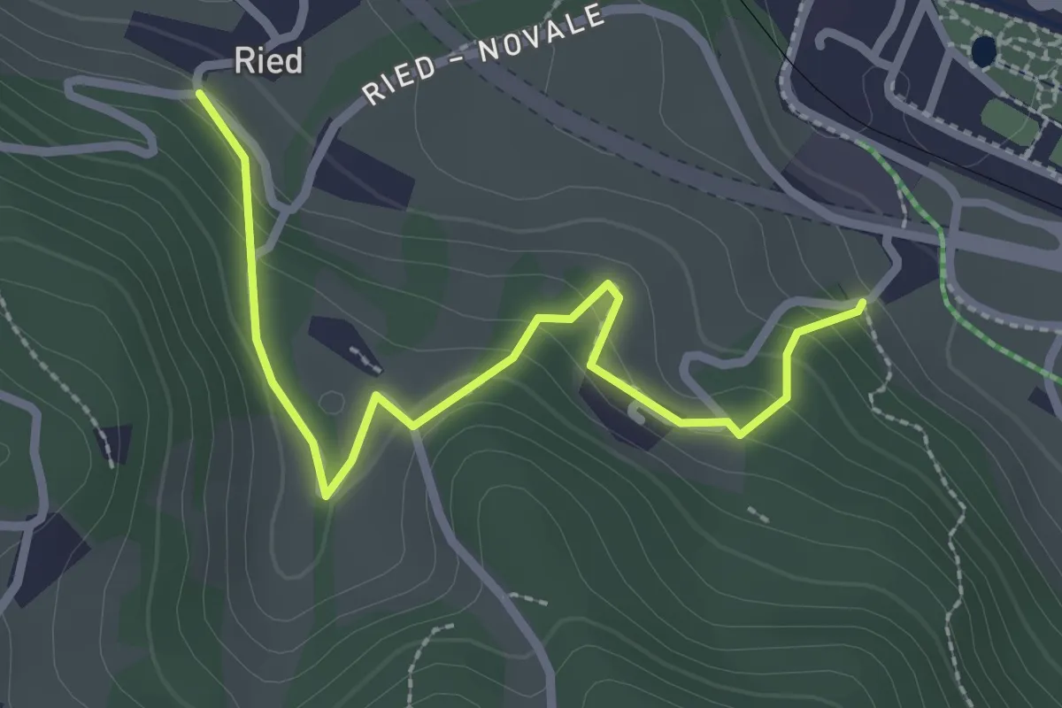
Easy · Trail
Themenweg vom Korn zum Brot
2.6 km · ↑ 153 m · 57 min · 13 km away
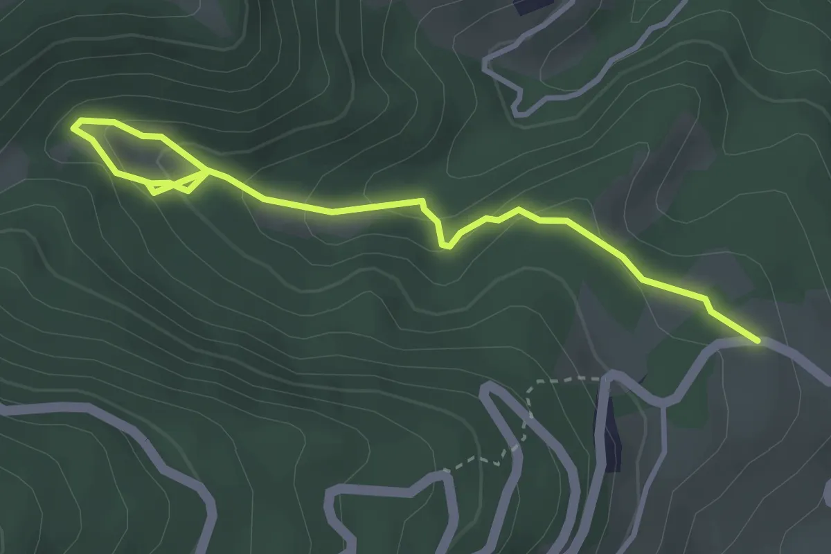
Easy · Trail
Val dl'Ert
3.7 km · ↑ 189 m · 1 h 17 min · 13 km away
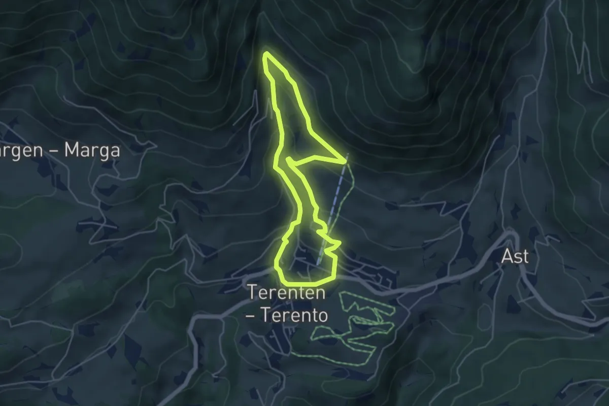
Medium · Trail
Mühlenweg
4.2 km · ↑ 251 m · 1 h 35 min · 13 km away
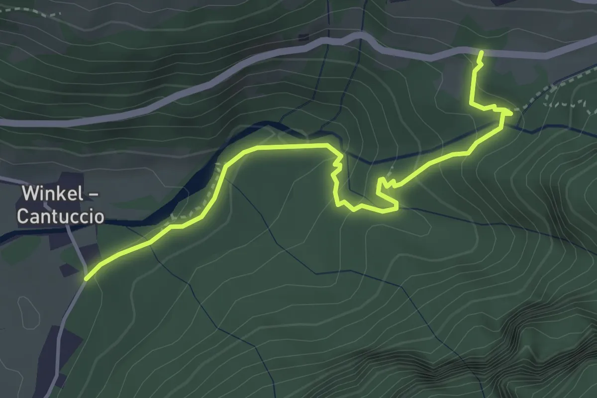
Medium · Trail
Wasserfallweg - Sentiero alle Cascate
4.0 km · ↑ 247 m · 1 h 29 min · 13 km away
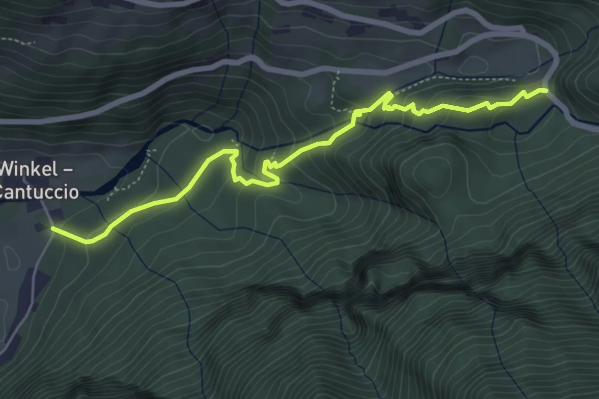
Medium · Trail
Franziskusweg - Sentiero di San Francesco
5.2 km · ↑ 275 m · 1 h 50 min · 13 km away
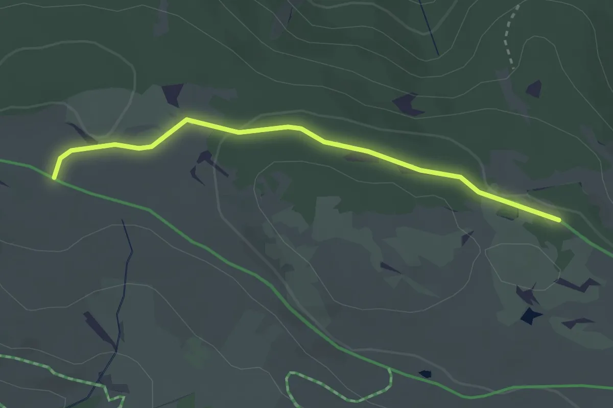
Easy · Trail
Wanderroute 68B
2.9 km · ↑ 36 m · 45 min · 13 km away
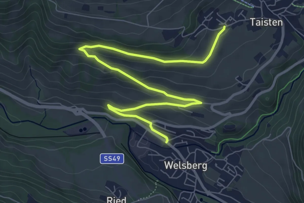
Medium · Trail
Dolomitenpanoramaweg
8.1 km · ↑ 233 m · 2 h 25 min · 13 km away
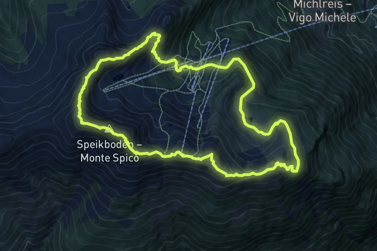
Medium · Summit
Panoramaweg Speikboden
9.7 km · ↑ 639 m · 3 h 49 min · 13 km away
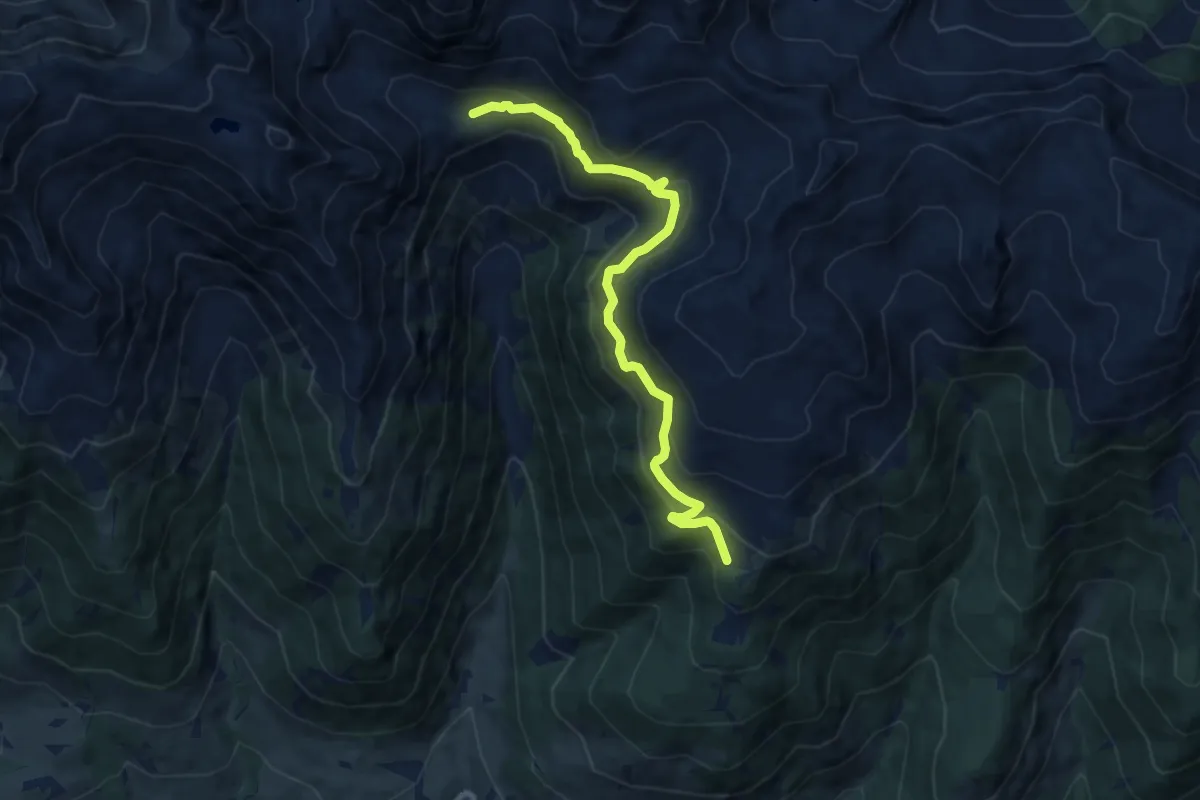
Medium · Trail
Gamssteig
9.6 km · ↑ 667 m · 3 h 42 min · 13 km away
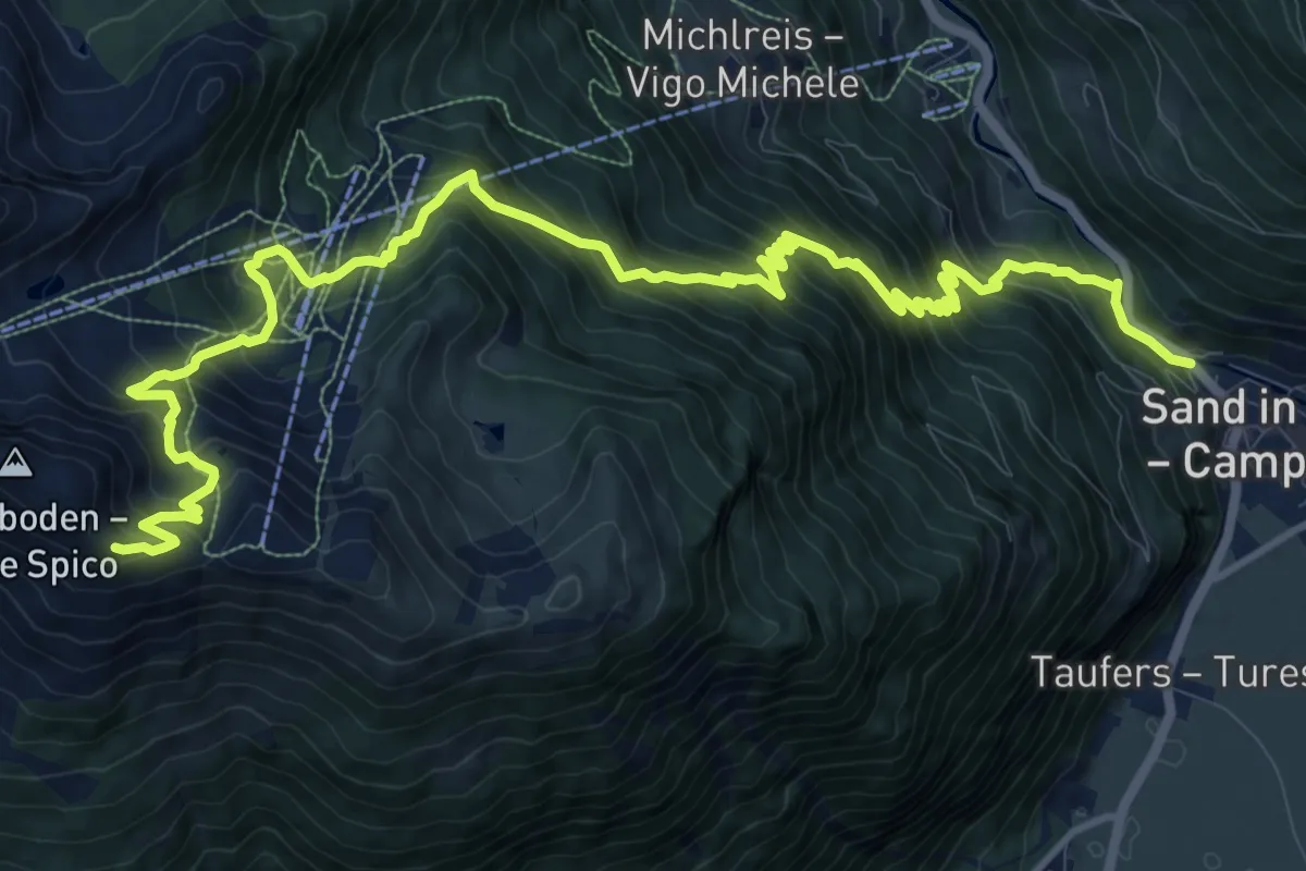
Demanding · Trail
Daimerweg
16.6 km · ↑ 1576 m · 7 h 19 min · 14 km away
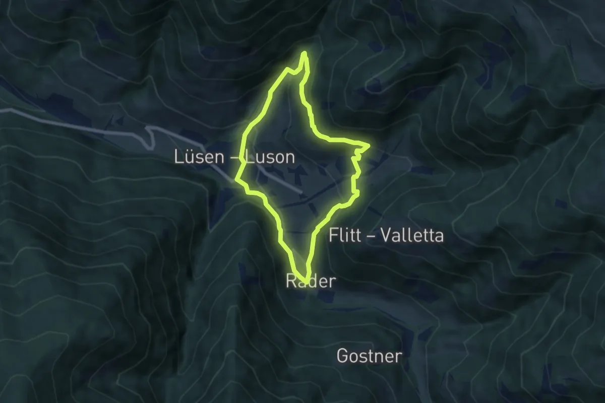
Medium · Trail
Panoramaweg (Lüsen) - Sentiero Panorama (Luson)
5.5 km · ↑ 263 m · 1 h 57 min · 14 km away
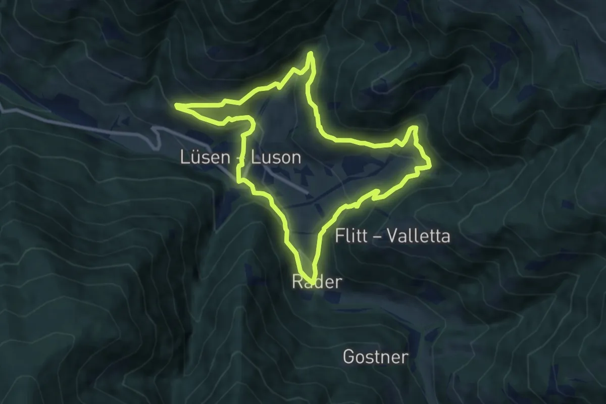
Demanding · Trail
Lüsner Panoramaweg - Giro panoramico di Luson
8.1 km · ↑ 449 m · 3 h · 14 km away
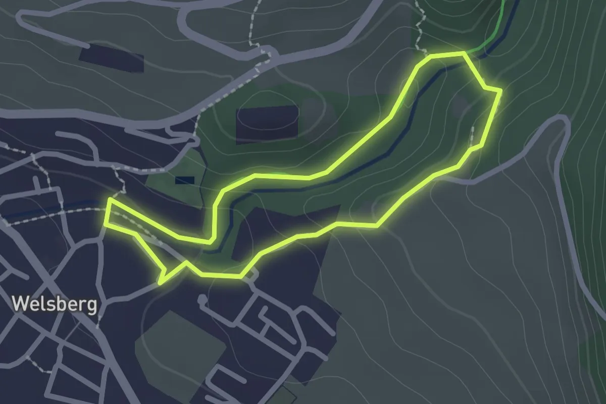
Easy · Trail
Kleine Schlossrunde
1.9 km · ↑ 66 m · 36 min · 14 km away
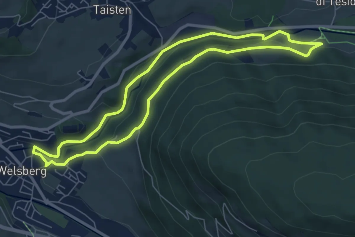
Easy · Trail
Große Schlossrunde
5.5 km · ↑ 147 m · 1 h 41 min · 14 km away
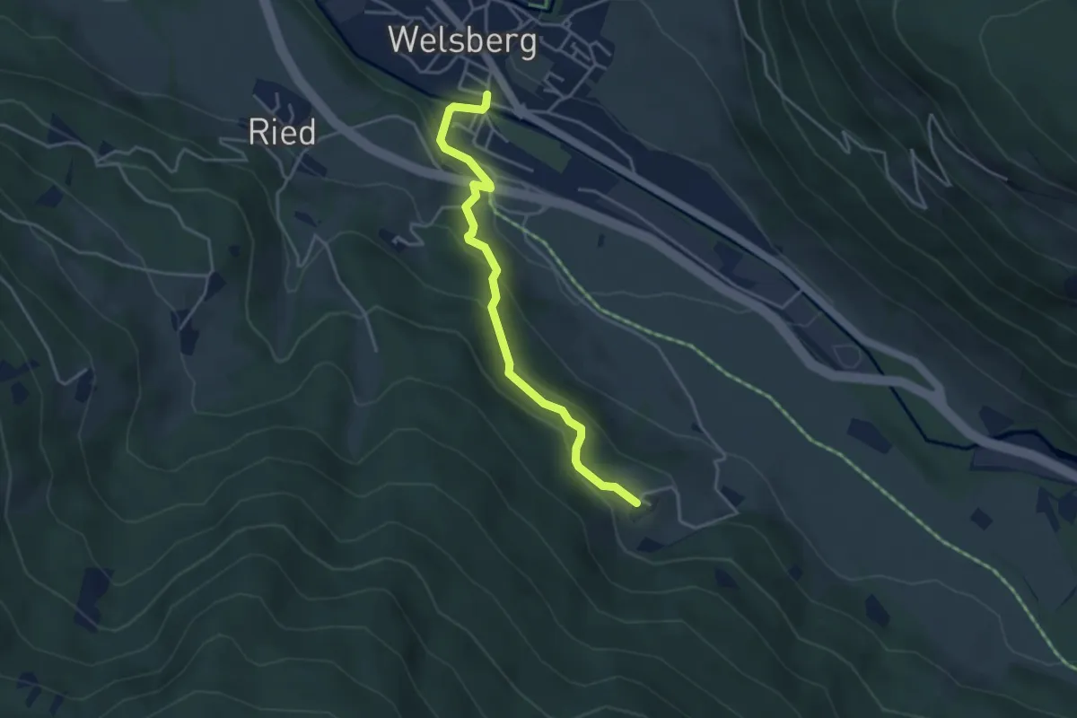
Easy · Trail
Kirchsteig
3.8 km · ↑ 204 m · 1 h 21 min · 14 km away
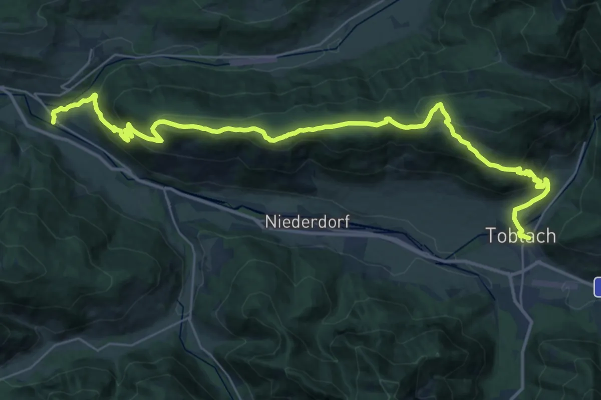
Demanding · Trail
Römerweg - Via Romana
15.4 km · ↑ 823 m · 5 h 34 min · 14 km away
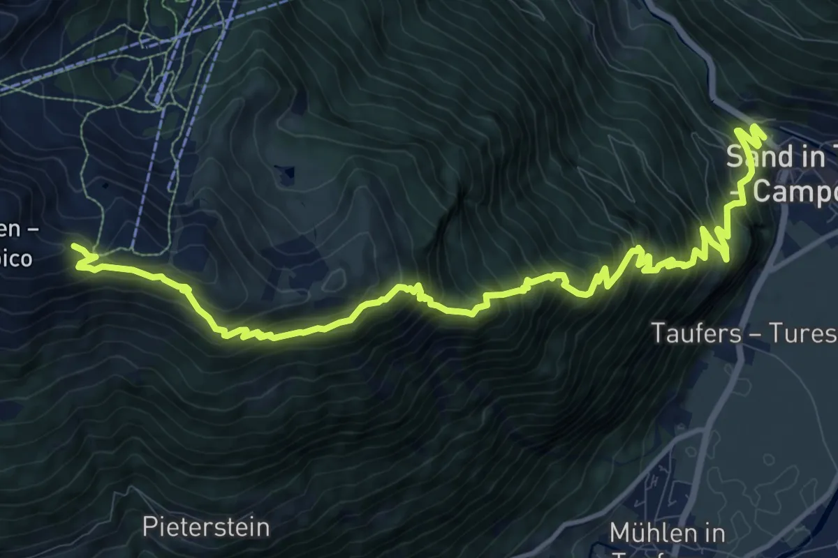
Expert · Trail
Pieterstein
14.5 km · ↑ 1649 m · 7 h · 14 km away
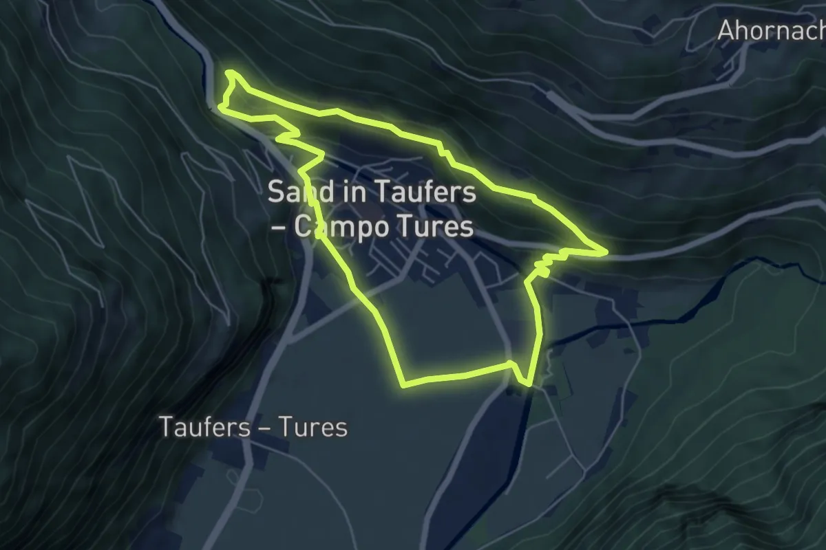
Easy · Trail
Naturerlebnispfad
5.4 km · ↑ 225 m · 1 h 50 min · 14 km away
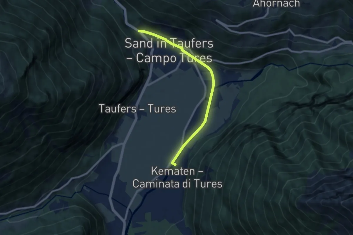
Easy · Trail
Dammweg
6.1 km · ↑ 58 m · 1 h 33 min · 14 km away
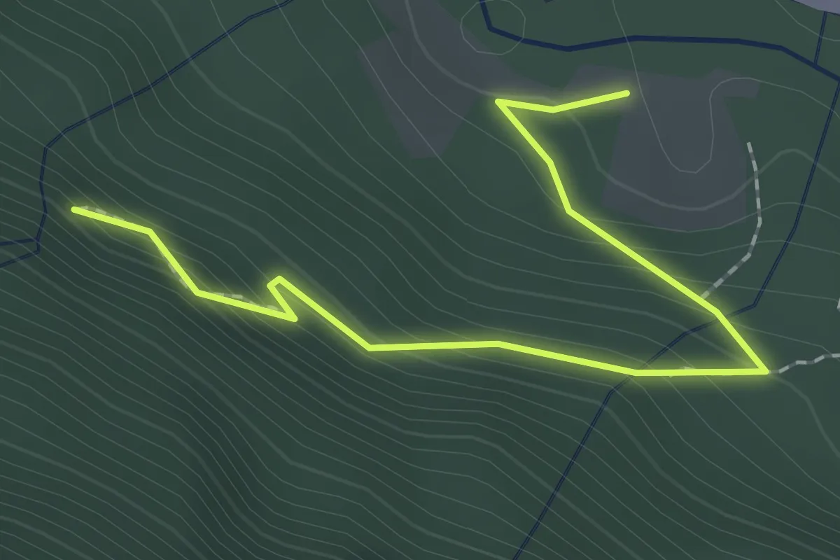
Easy · Trail
Raschtl Wasserfälle
2.2 km · ↑ 170 m · 53 min · 14 km away