Trails near Calolziocorte
330 hikes starting within 15 km, nearest first.
Nearest first, page 1 of 7
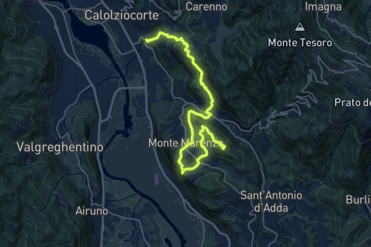
Demanding · Summit
Ponte Serta (Calolziocorte) – Ponte Contrada (Torre de' Busi)
18.8 km · ↑ 982 m · 6 h 34 min · 1 km away
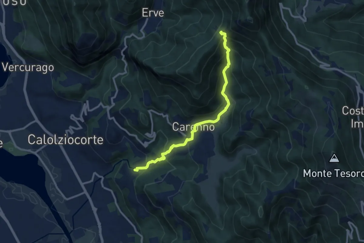
Medium · Trail
Lorentino (Calolziocorte) – Passo della Pertulena
8.1 km · ↑ 668 m · 3 h 21 min · 1 km away
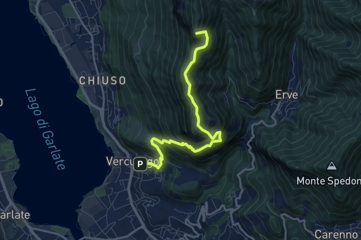
Demanding · Summit
Erve – Somasca (Vercurago)
8.6 km · ↑ 981 m · 4 h 9 min · 1 km away
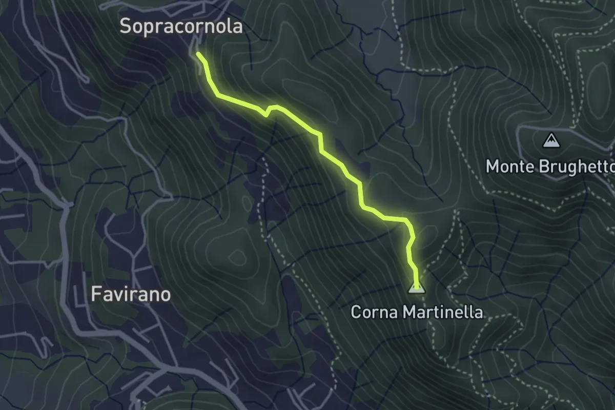
Easy · Summit
Torre de Busi – Sopracornola
2.9 km · ↑ 212 m · 1 h 9 min · 2 km away
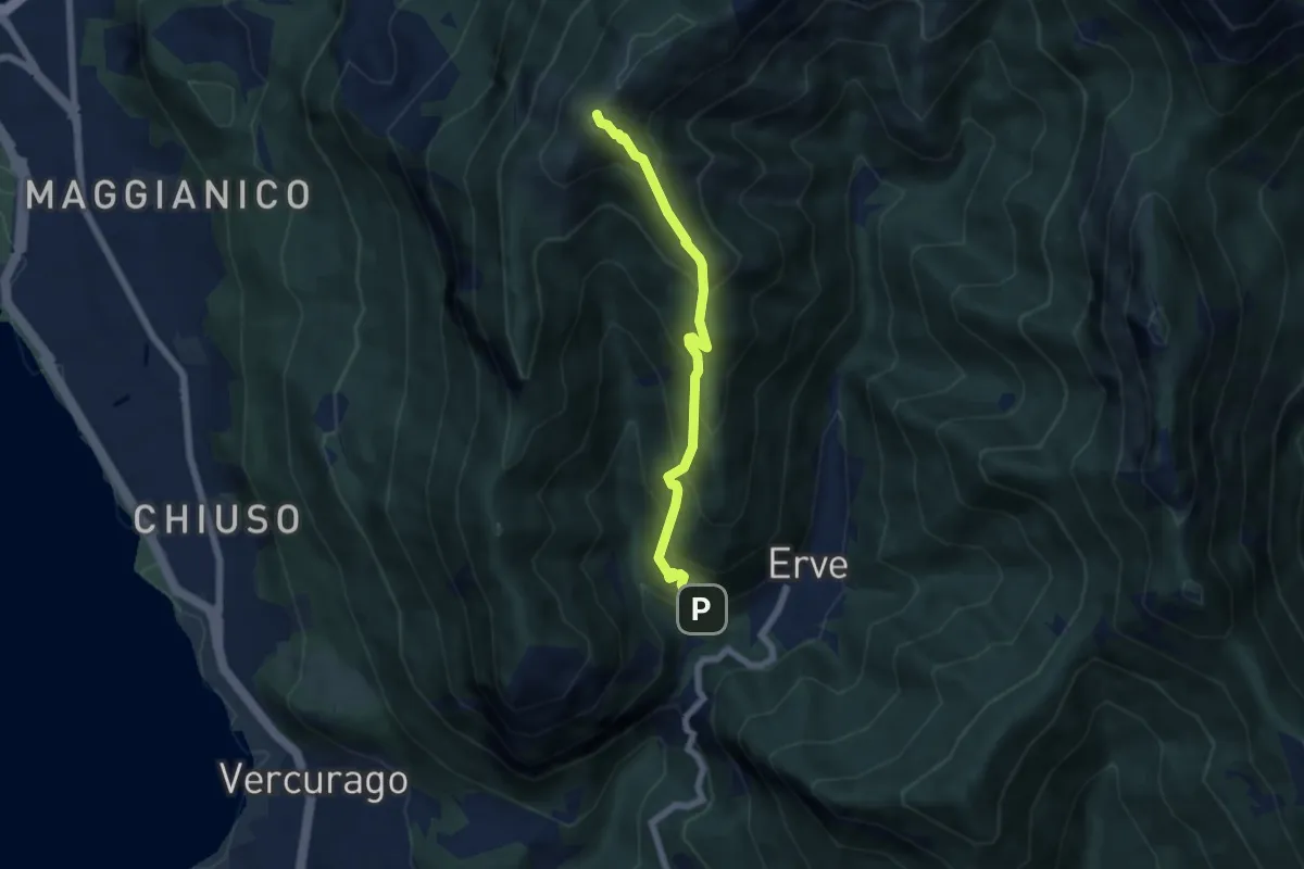
Medium · Summit
Erve – Monte Magnodeno
5.6 km · ↑ 626 m · 2 h 41 min · 2 km away
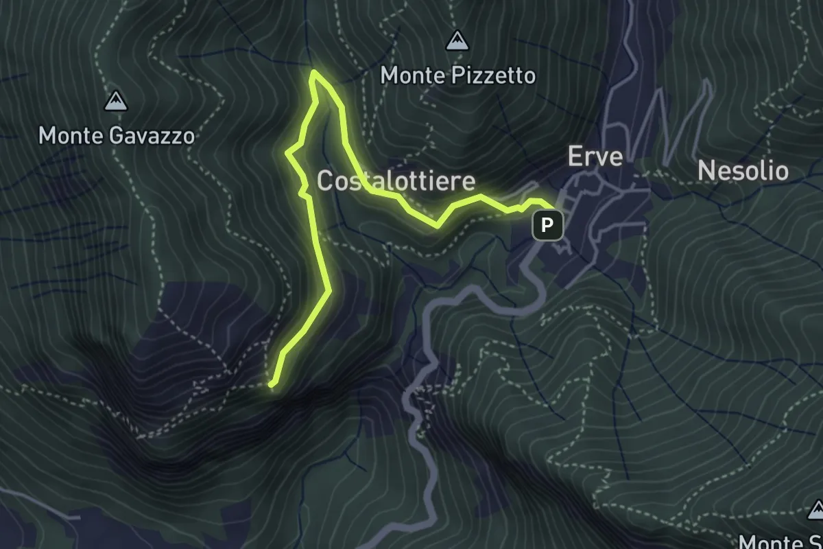
Easy · Trail
Erve – Croce di Vicerola
4.2 km · ↑ 219 m · 1 h 28 min · 2 km away
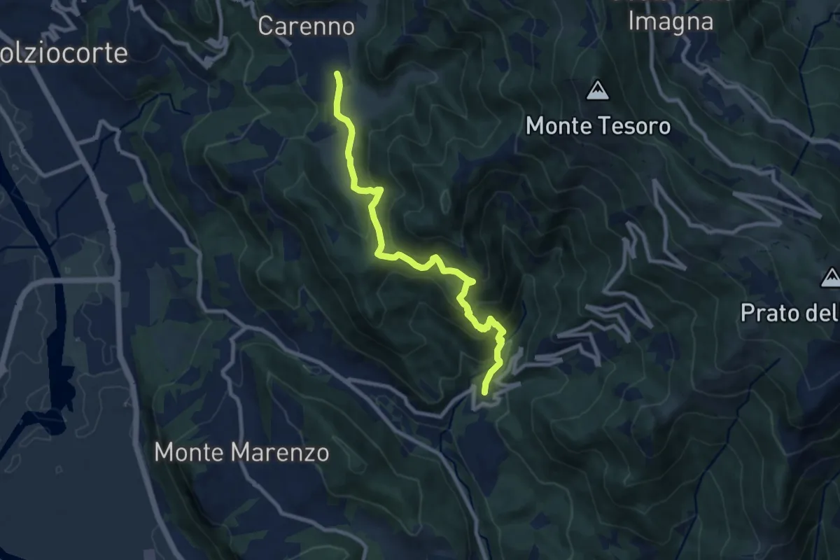
Medium · Trail
Carenno – Torre de' Busi
8.8 km · ↑ 708 m · 3 h 37 min · 3 km away
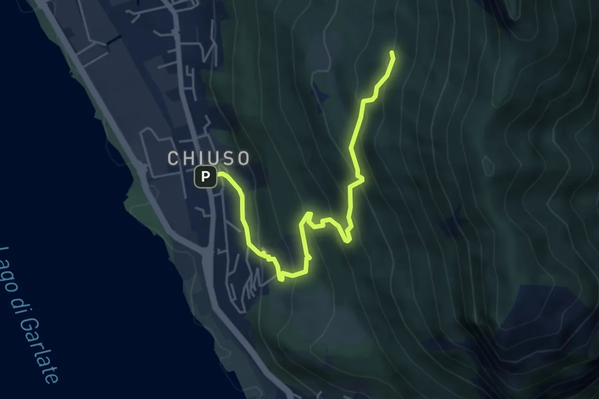
Medium · Cabin
Chiuso – Rifugio Camposecco
4.8 km · ↑ 430 m · 2 h 4 min · 3 km away
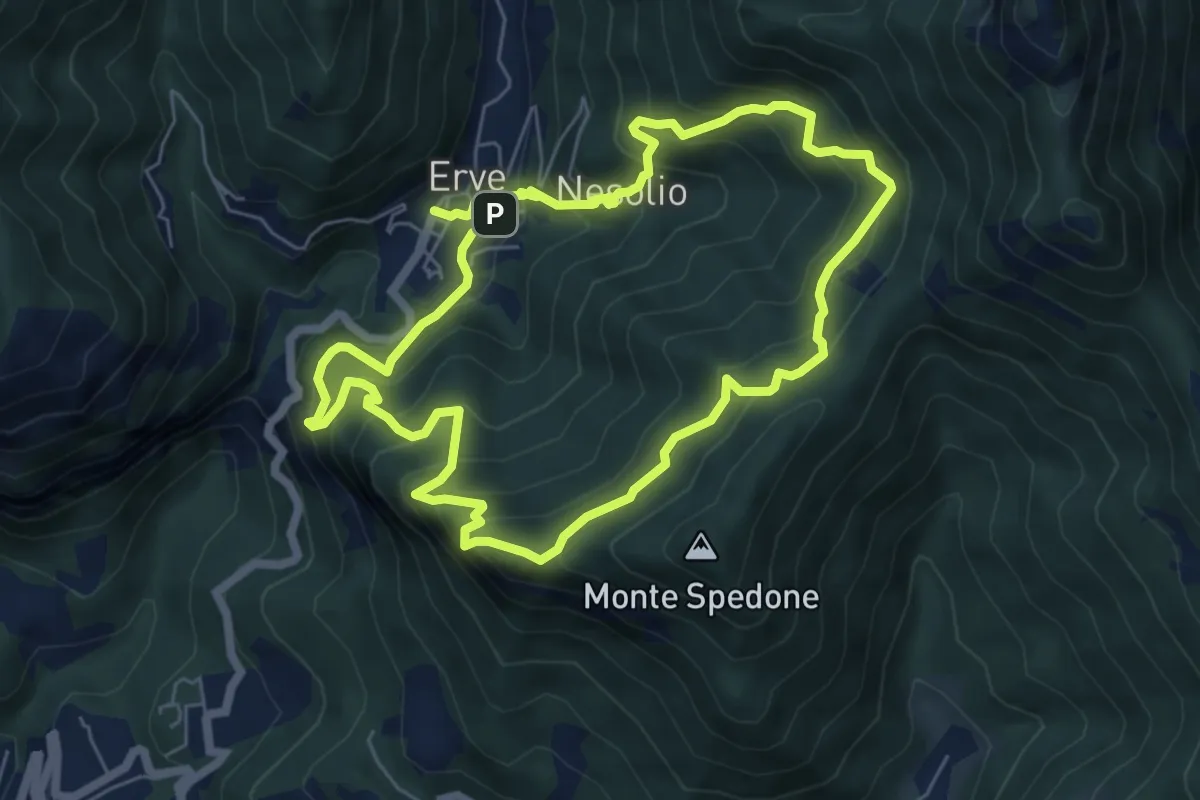
Demanding · Trail
Erve – Erve
6.1 km · ↑ 678 m · 3 h · 3 km away
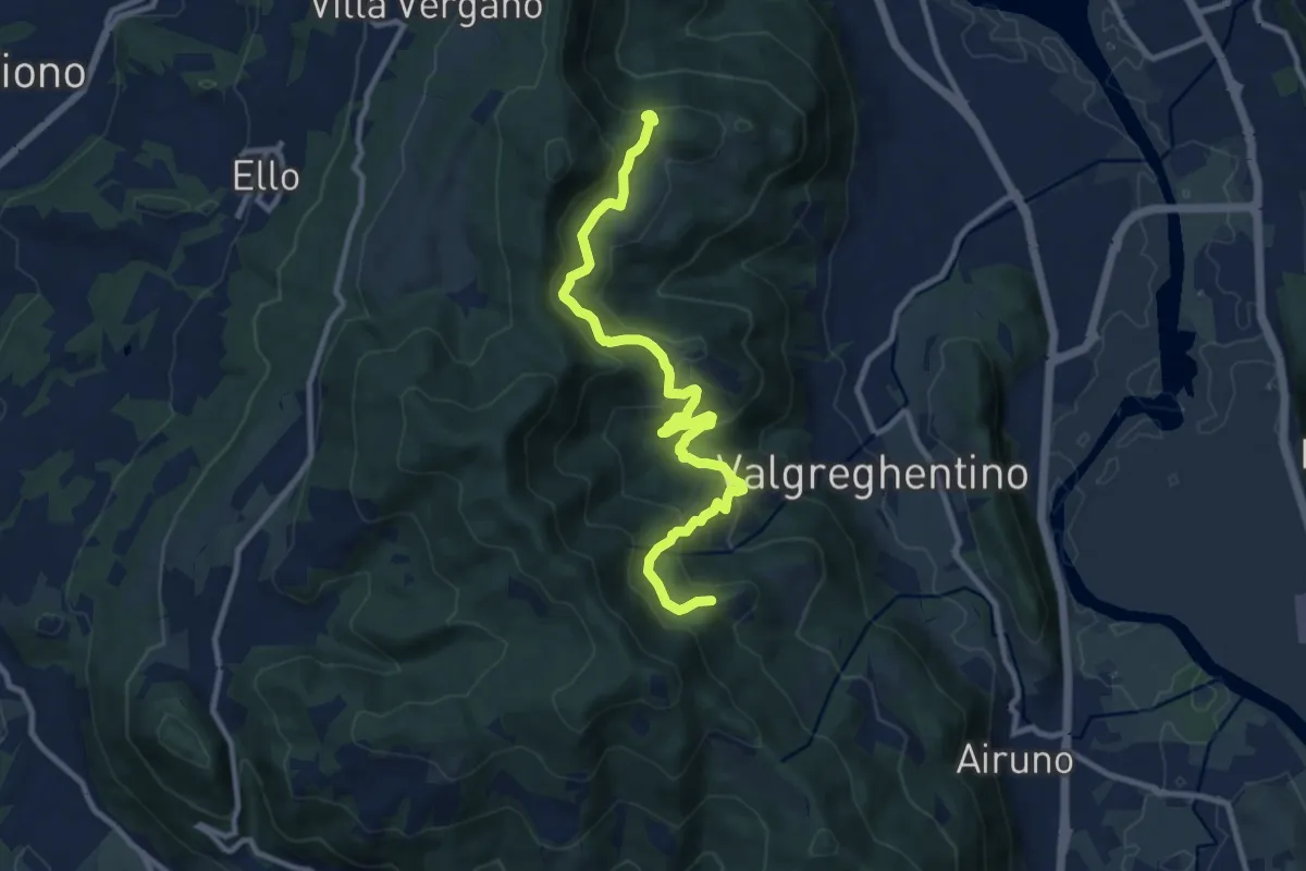
Medium · Trail
Campiano – Consonno
11.0 km · ↑ 534 m · 3 h 45 min · 3 km away
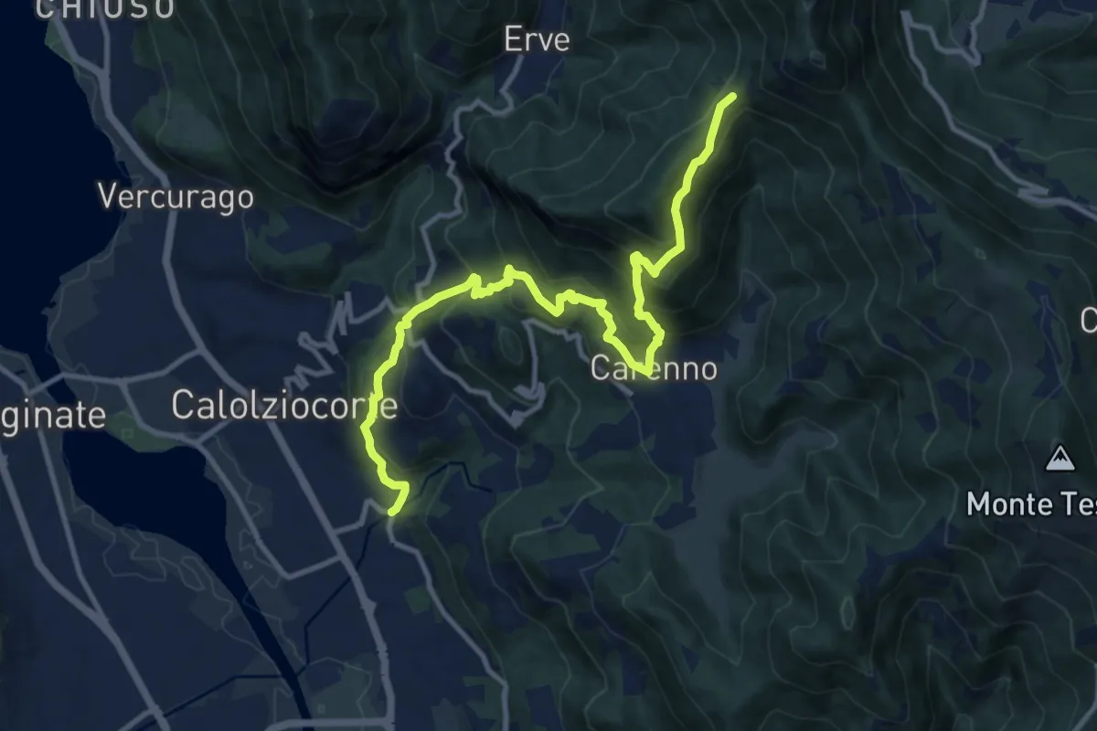
Demanding · Trail
Serta (Calolziocorte) – Passo della Pertulena
12.4 km · ↑ 967 m · 5 h 2 min · 3 km away
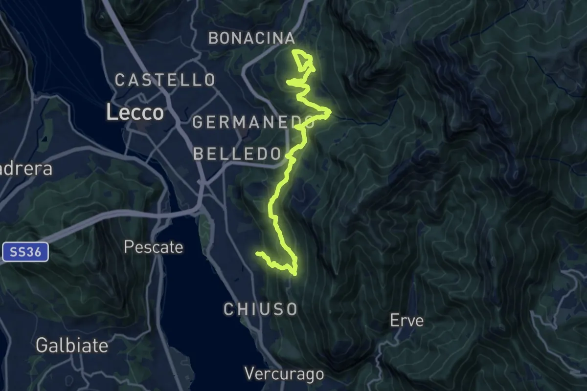
Demanding · Trail
Sentiero Rotary Lecco
16.4 km · ↑ 875 m · 5 h 46 min · 4 km away
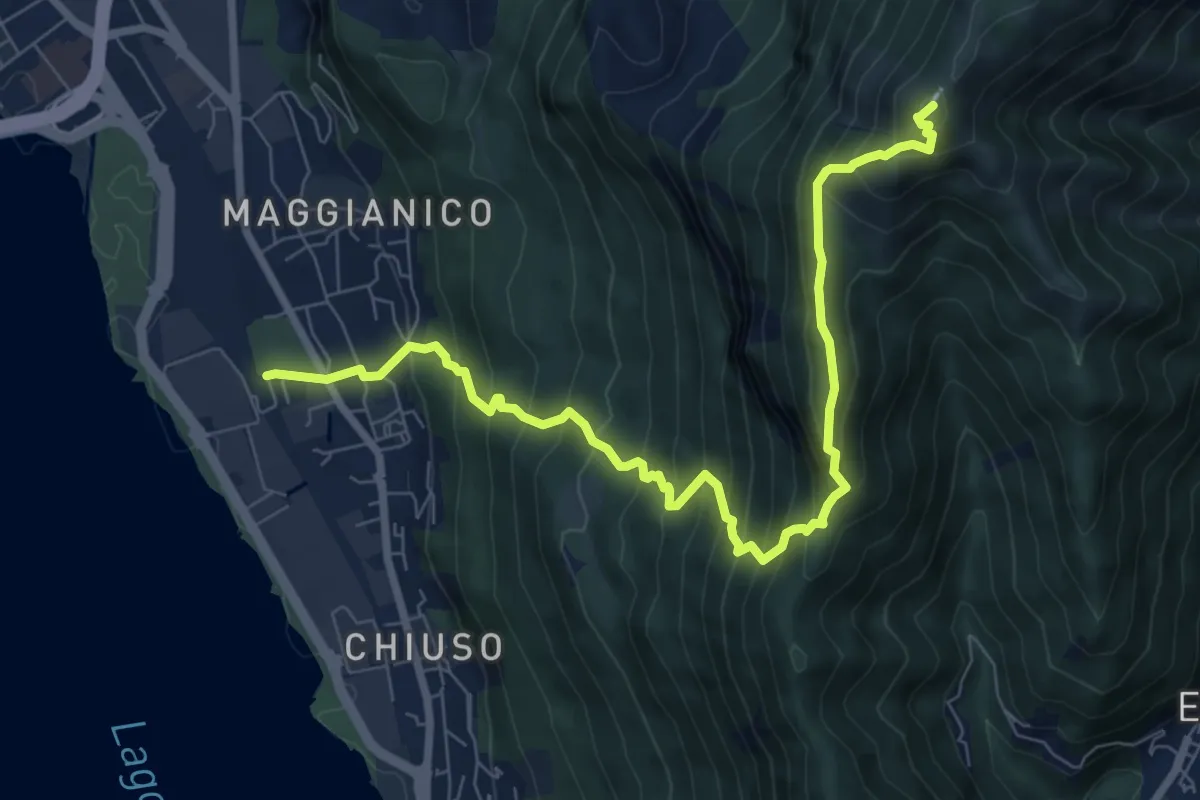
Demanding · Summit
Lecco – Monte Magnodeno
9.1 km · ↑ 992 m · 4 h 18 min · 4 km away
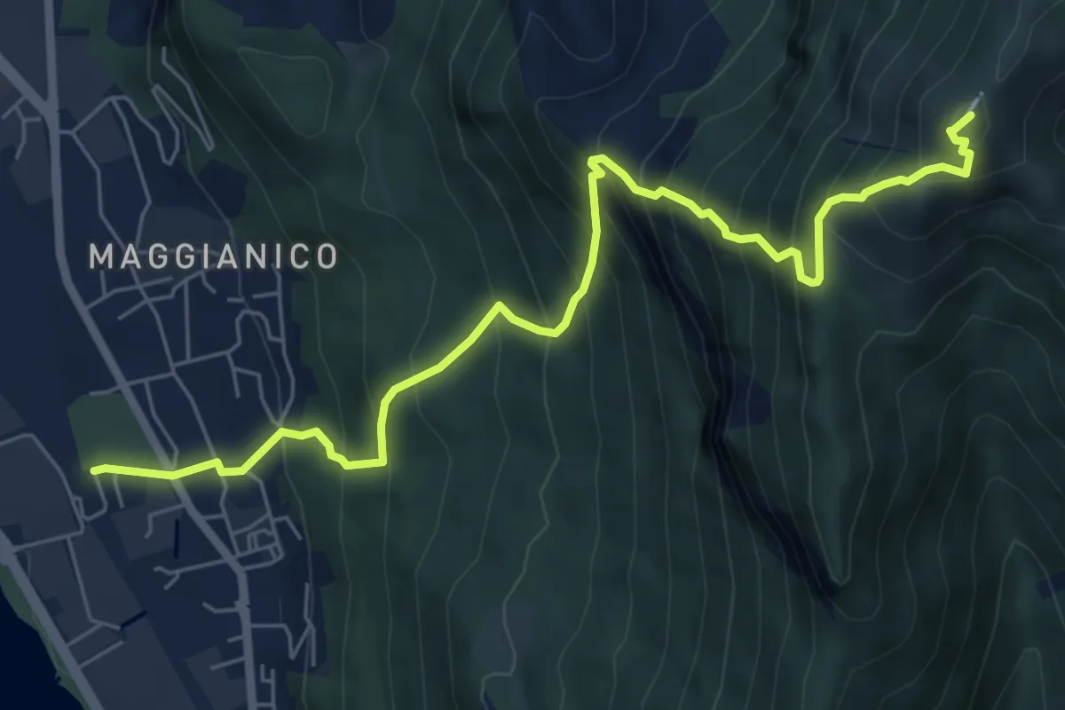
Demanding · Summit
Lecco – Monte Magnodeno
7.2 km · ↑ 1006 m · 3 h 52 min · 4 km away
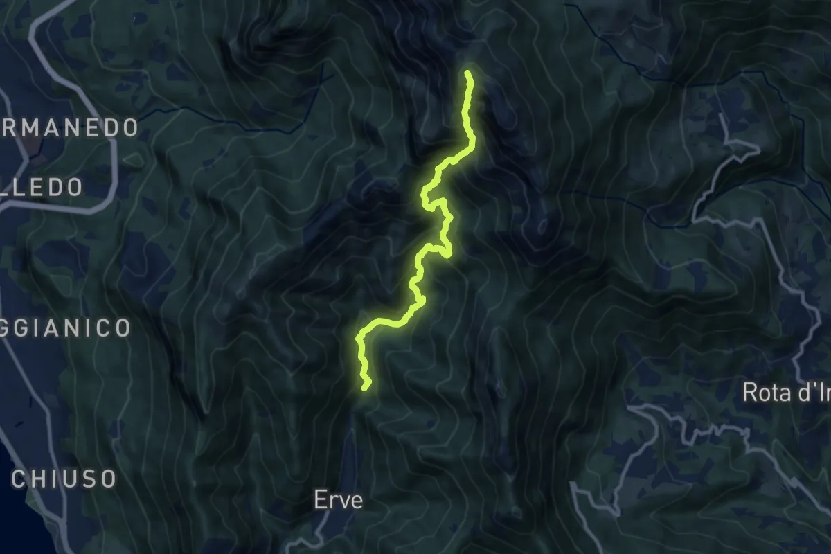
Expert · Summit
Erve – Rifugio Azzoni
9.6 km · ↑ 1242 m · 4 h 57 min · 4 km away
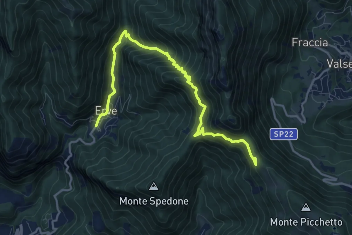
Demanding · Trail
Convento del Pertus – Erve, Piazza del Municipio
10.4 km · ↑ 869 m · 4 h 20 min · 4 km away
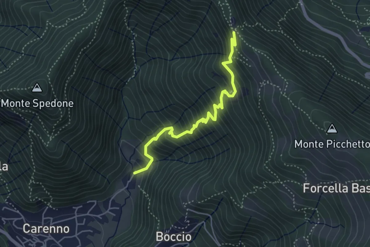
Medium · Trail
Carenno – Pertüs
4.2 km · ↑ 509 m · 2 h 6 min · 4 km away
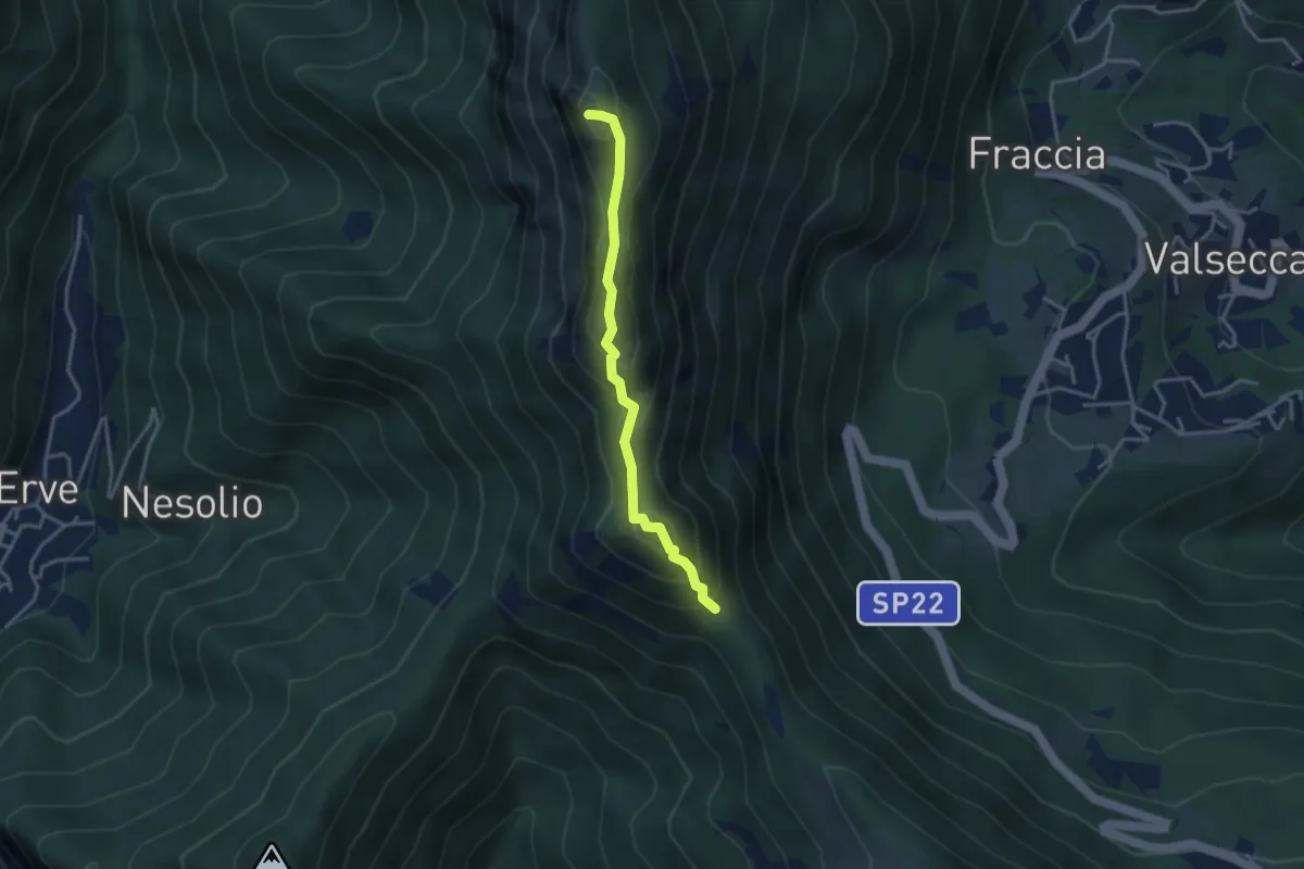
Demanding · Summit
Passo del Pertüs – La Passata
3.3 km · ↑ 339 m · 1 h 30 min · 4 km away
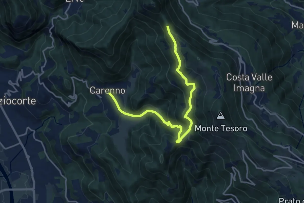
Medium · Trail
Carenno – Pertüs
11.3 km · ↑ 683 m · 4 h 9 min · 4 km away
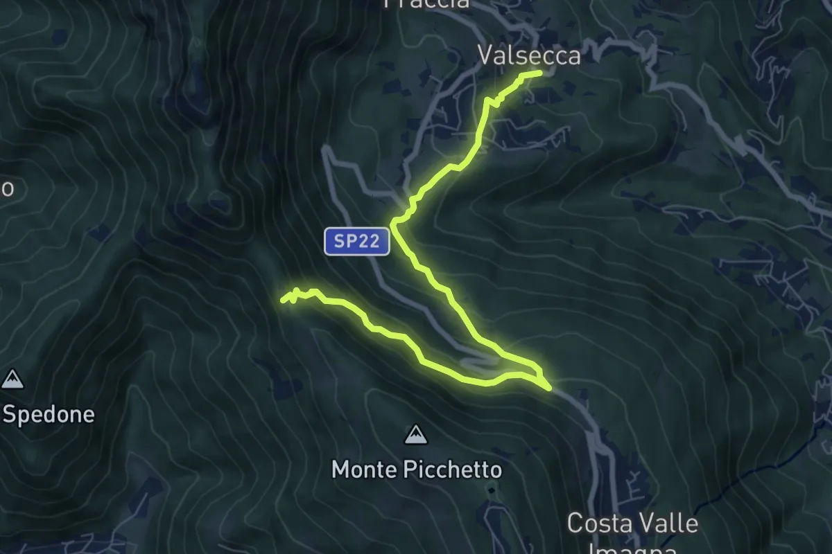
Medium · Trail
Valsecca – Pertüs
8.3 km · ↑ 616 m · 3 h 17 min · 4 km away
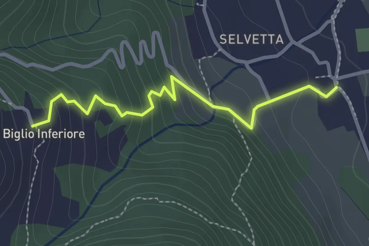
Easy · Trail
Valgreghentino – Biglio Inferiore
2.3 km · ↑ 184 m · 57 min · 4 km away
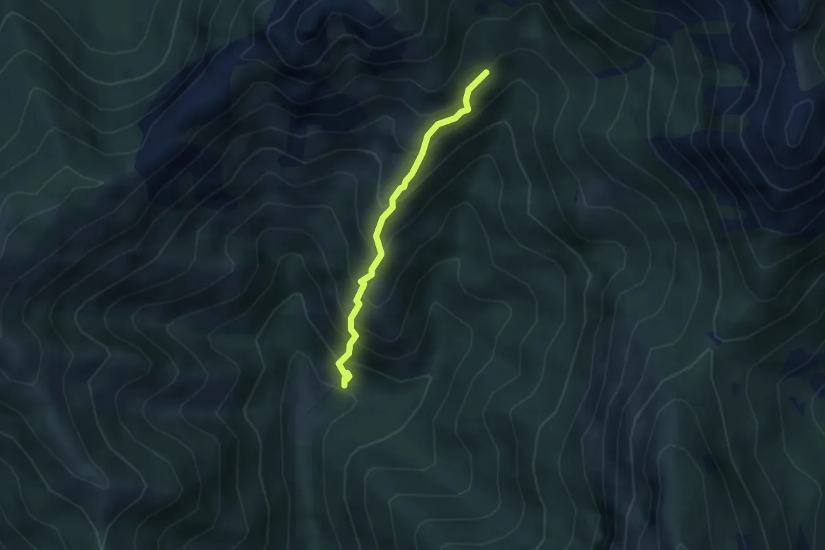
Demanding · Trail
Sentiero 803 – Sentiero 803
2.7 km · ↑ 404 m · 1 h 31 min · 4 km away
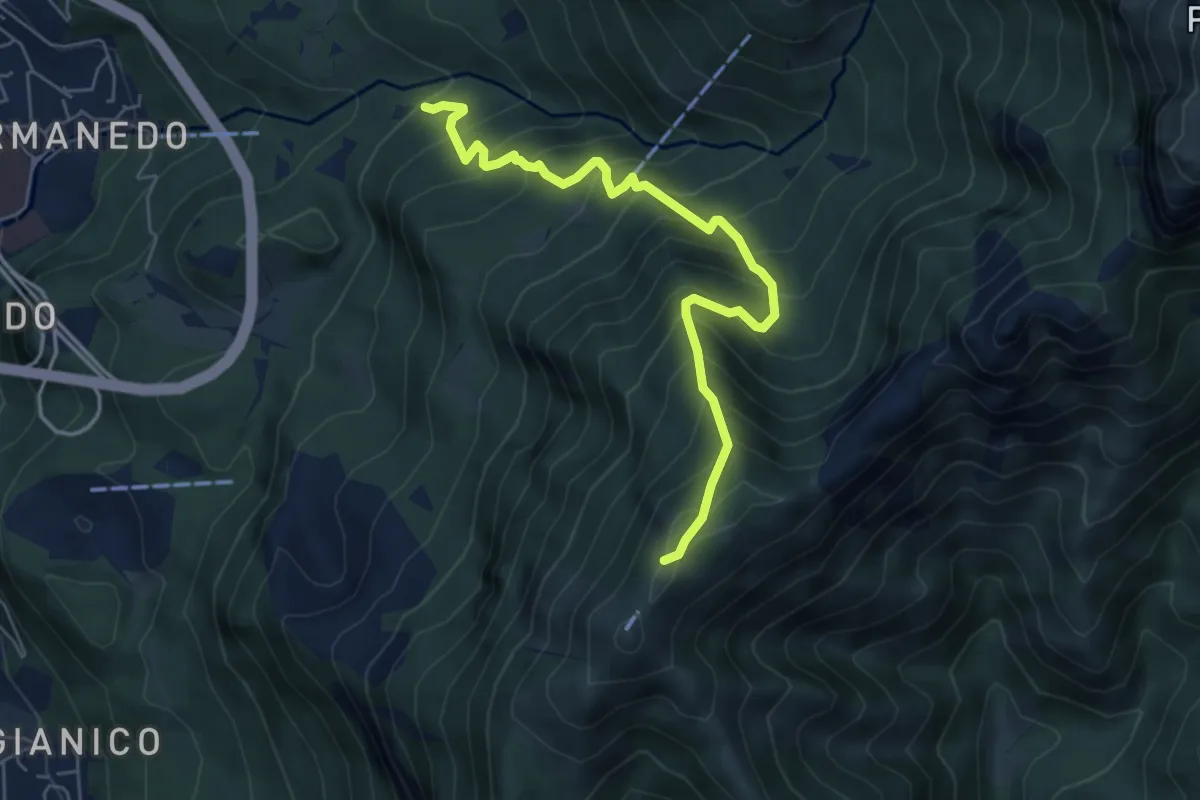
Medium · Trail
Innesto percorso 927 – Monte Magnodeno, innesto percorso 927
6.2 km · ↑ 754 m · 3 h 5 min · 5 km away
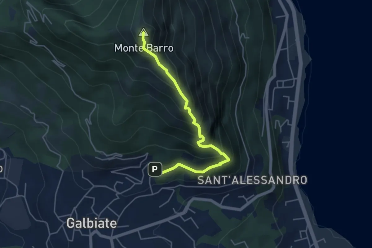
Expert · Summit
Galbiate – Monte Barro
4.1 km · ↑ 475 m · 2 h · 5 km away
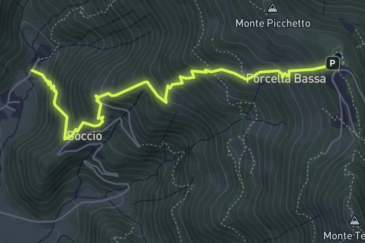
Medium · Trail
Carenno – Forcella Alta
5.8 km · ↑ 631 m · 2 h 45 min · 5 km away
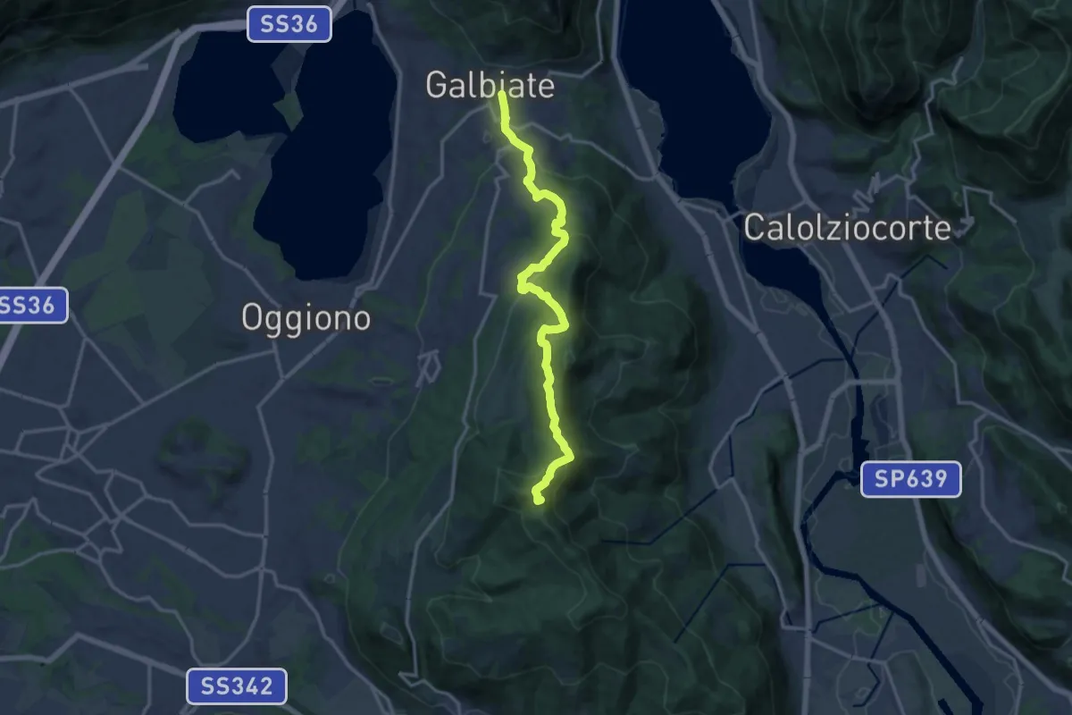
Medium · Summit
Olgiate Molgora (FS) – Galbiate
14.3 km · ↑ 669 m · 4 h 50 min · 5 km away
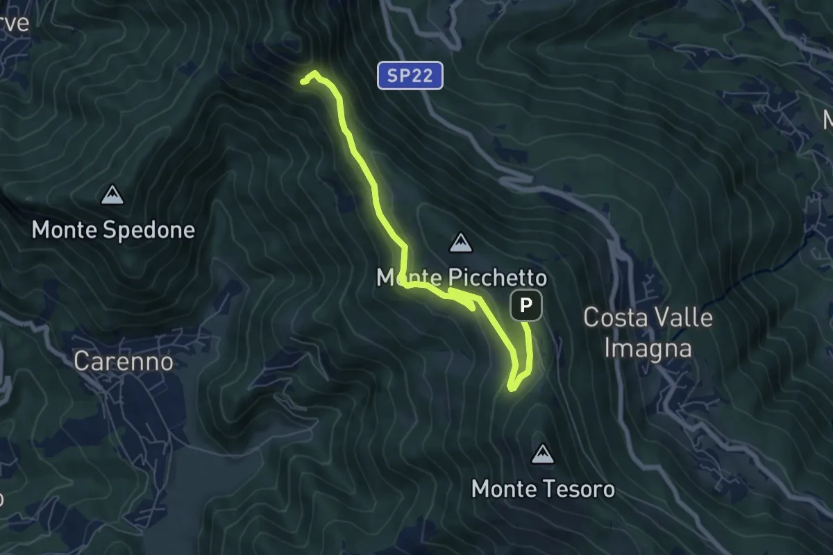
Medium · Trail
Percorso didattico naturalistico del Pertüs
7.0 km · ↑ 262 m · 2 h 13 min · 5 km away
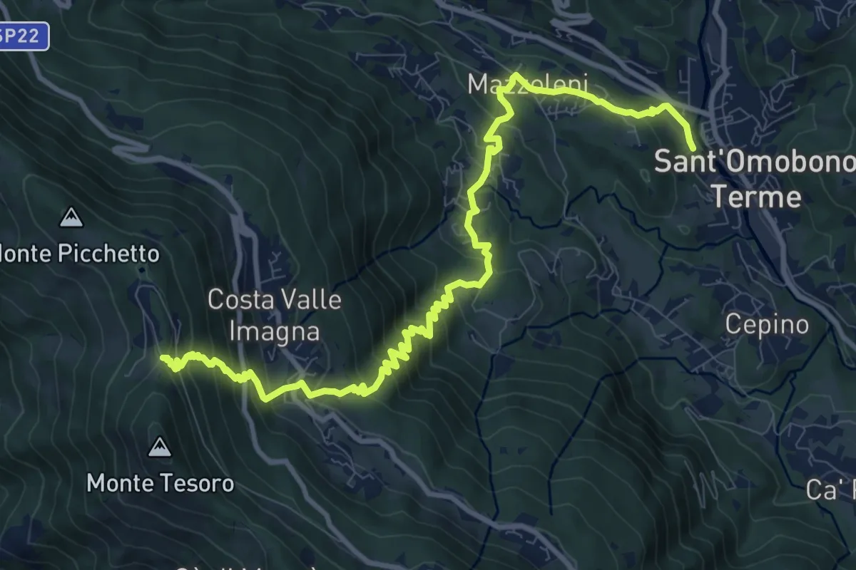
Demanding · Trail
Ca' Mazzoleni – Forcella Alta
12.2 km · ↑ 902 m · 4 h 50 min · 5 km away
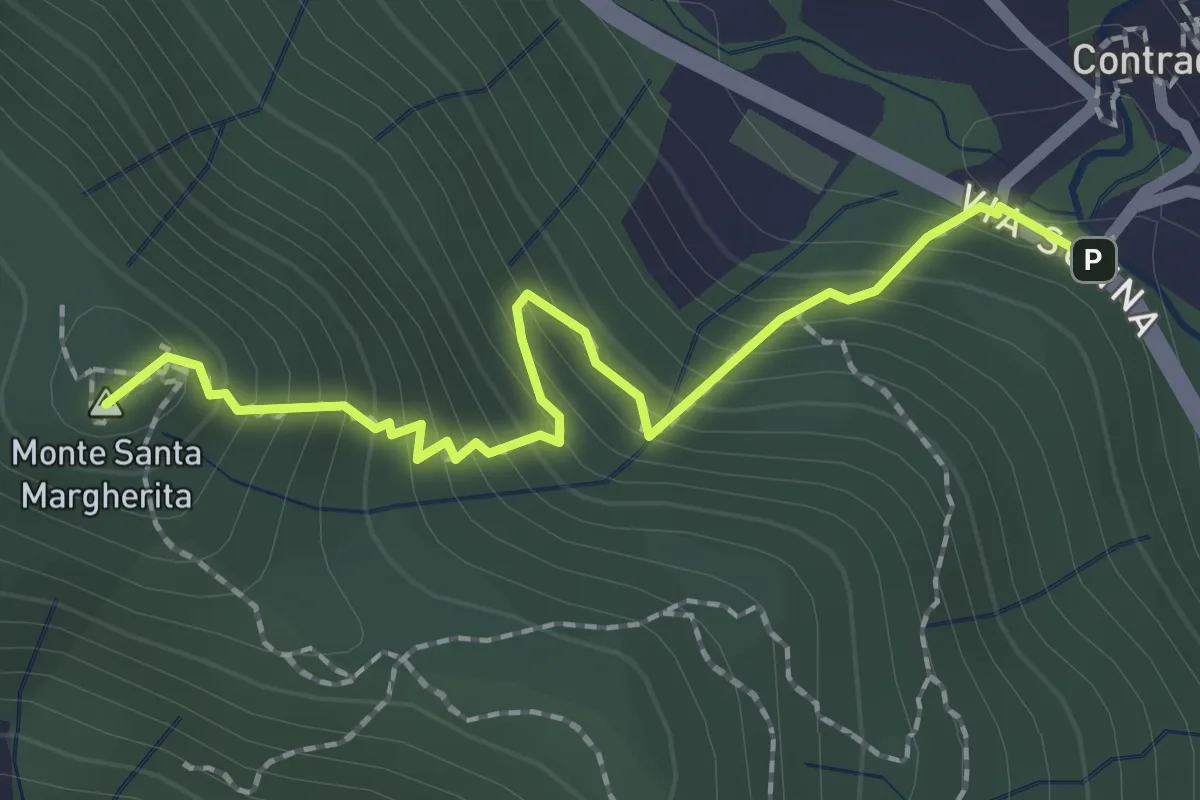
Medium · Summit
Contrada (Torre de' Busi) – S. Margherita (Monte Marenzo)
2.2 km · ↑ 259 m · 1 h 5 min · 5 km away
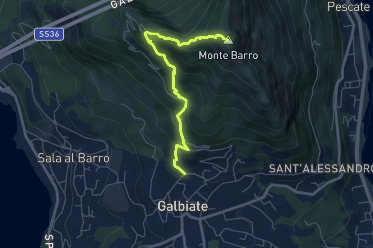
Demanding · Summit
Galbiate (lavatoio) – Monte Barro
5.3 km · ↑ 485 m · 2 h 18 min · 5 km away
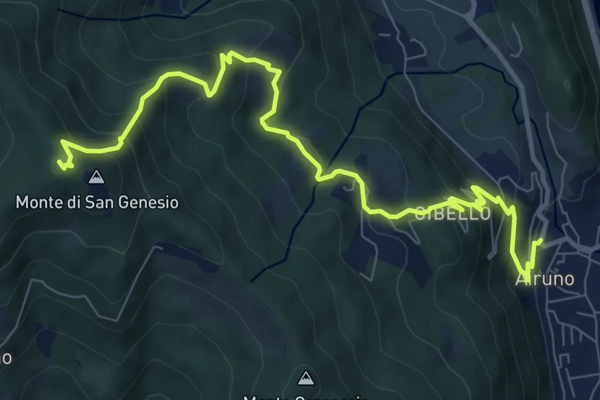
Medium · Summit
Airuno (FS) – Monte di San Genesio
9.2 km · ↑ 619 m · 3 h 31 min · 5 km away
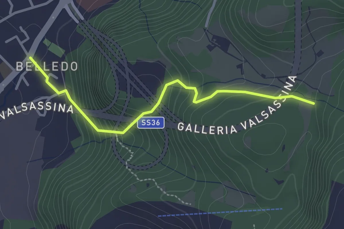
Easy · Trail
Belledo (Lecco) – Sentiero Rotary 920
2.7 km · ↑ 228 m · 1 h 8 min · 5 km away
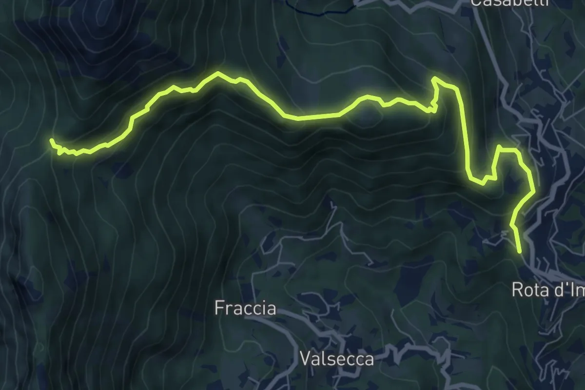
Medium · Trail
Rota d'Imagna – La Passata
9.3 km · ↑ 699 m · 3 h 43 min · 5 km away
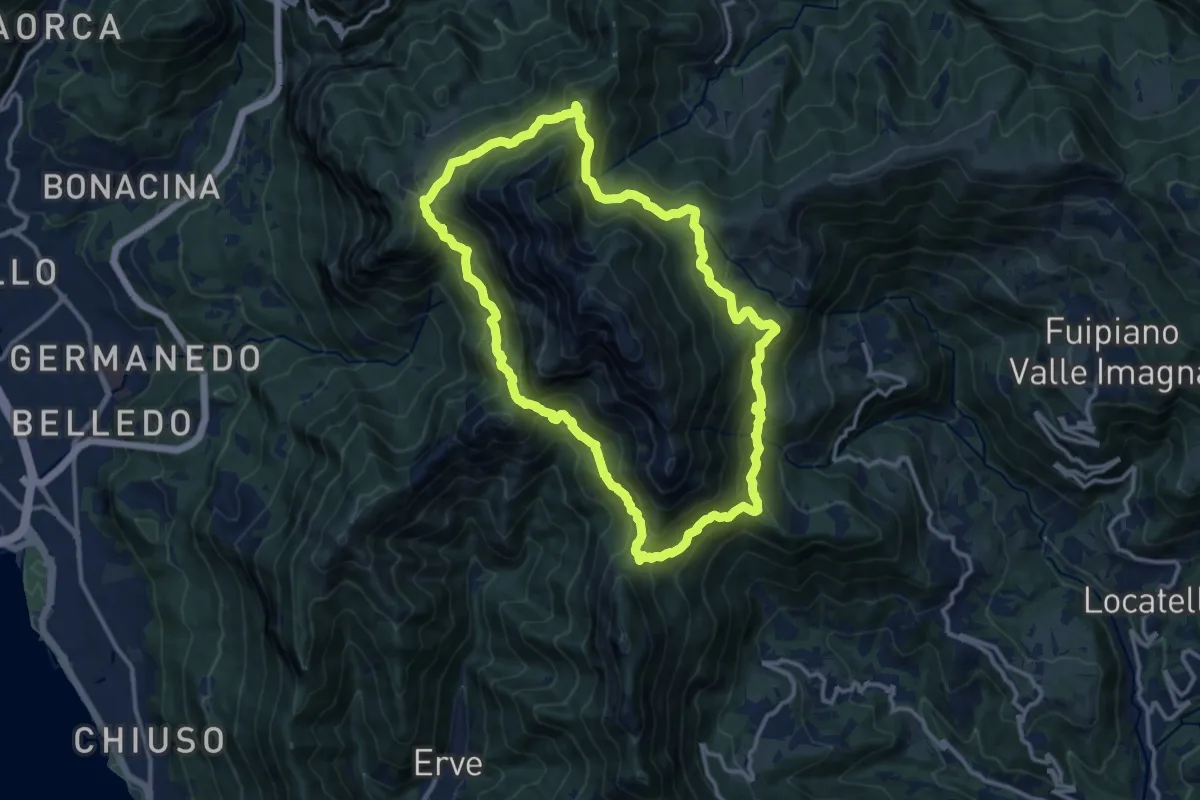
Demanding · Summit
Anello del Resegone
12.8 km · ↑ 1001 m · 5 h 21 min · 5 km away
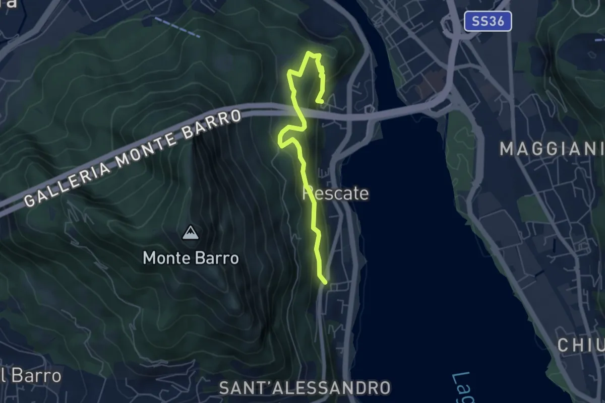
Medium · Trail
Pescalina – Pescate (cimitero)
5.5 km · ↑ 361 m · 2 h 4 min · 5 km away
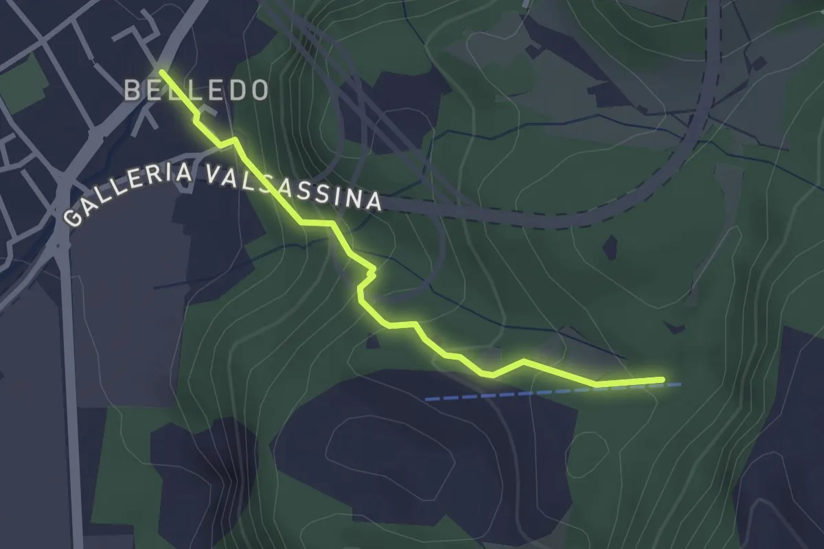
Easy · Trail
Belledo (Lecco) – Sentiero Rotary 920, Vaiolo Bassa
2.5 km · ↑ 202 m · 1 h 1 min · 5 km away
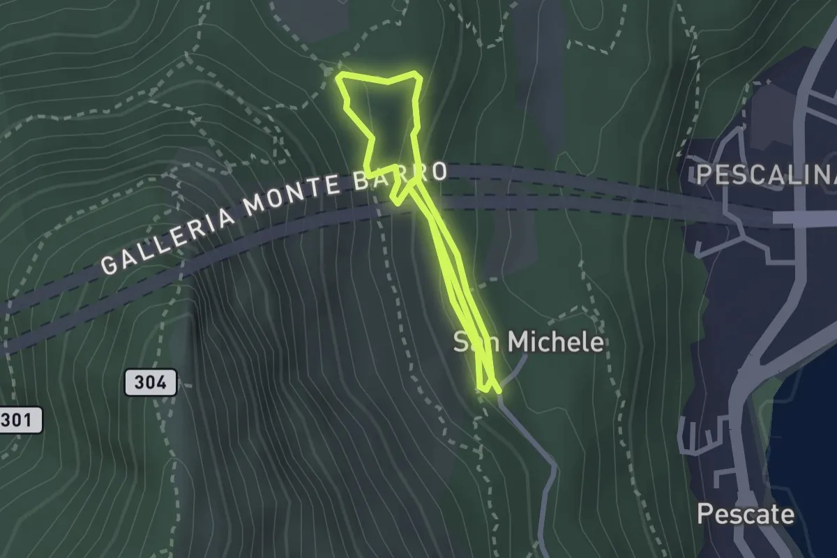
Medium · Trail
San Michele – San Michele
4.2 km · ↑ 208 m · 1 h 26 min · 6 km away
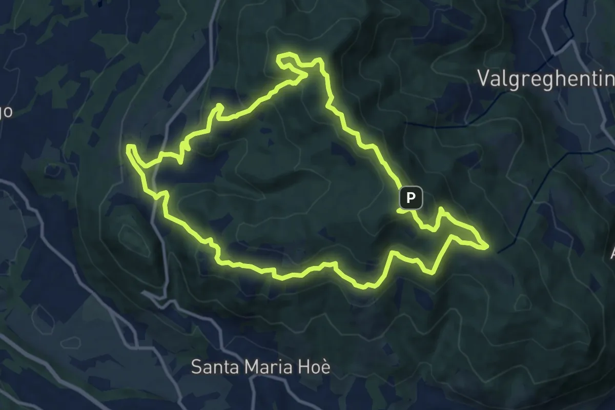
Medium · Summit
Percorso geologico naturalistico
12.1 km · ↑ 534 m · 4 h 12 min · 6 km away
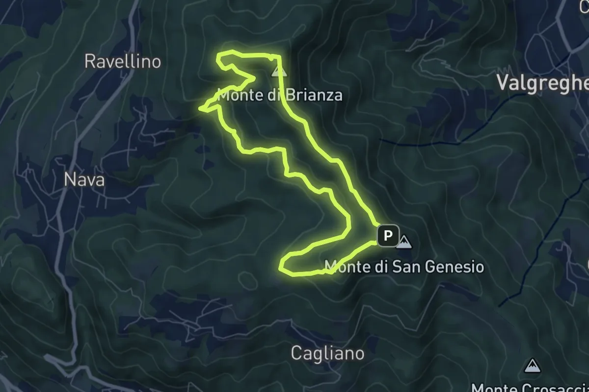
Medium · Summit
Sentiero Clorofillati!
6.5 km · ↑ 317 m · 2 h 19 min · 6 km away
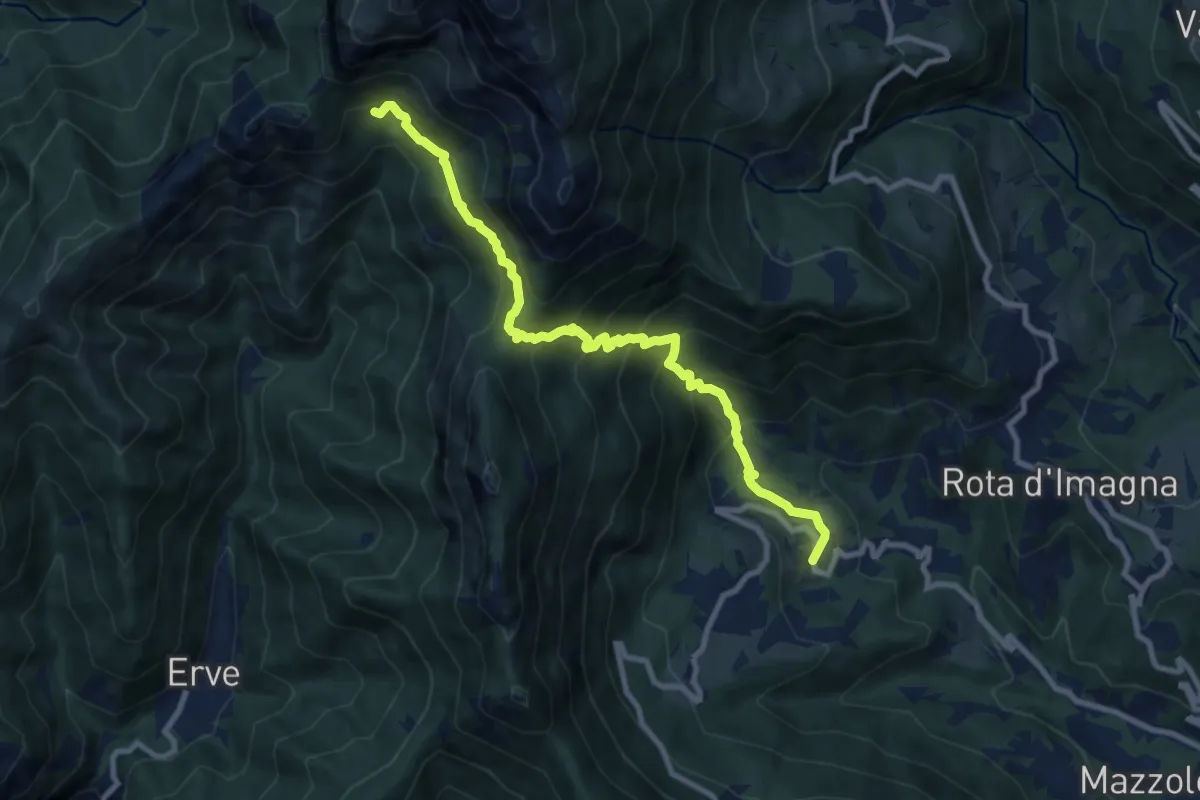
Demanding · Cabin
Valsecca – Capanna Alpinisti Monzesi
9.6 km · ↑ 868 m · 4 h 8 min · 6 km away
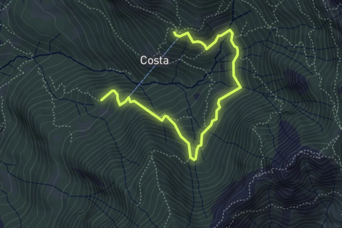
Medium · Cabin
Rifugio Stoppani – Innesto sentiero 919
5.6 km · ↑ 532 m · 2 h 28 min · 6 km away
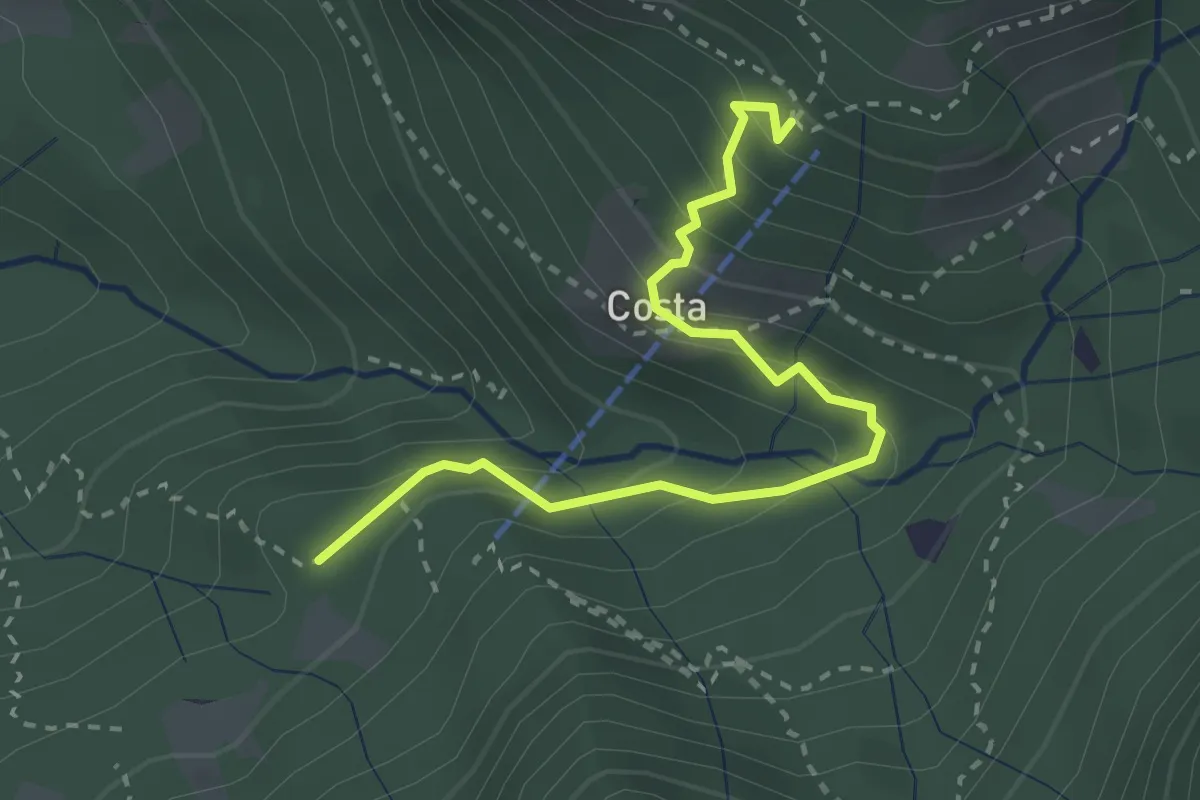
Medium · Cabin
Innesto 919 – Rifugio Sotppani
3.0 km · ↑ 272 m · 1 h 18 min · 6 km away
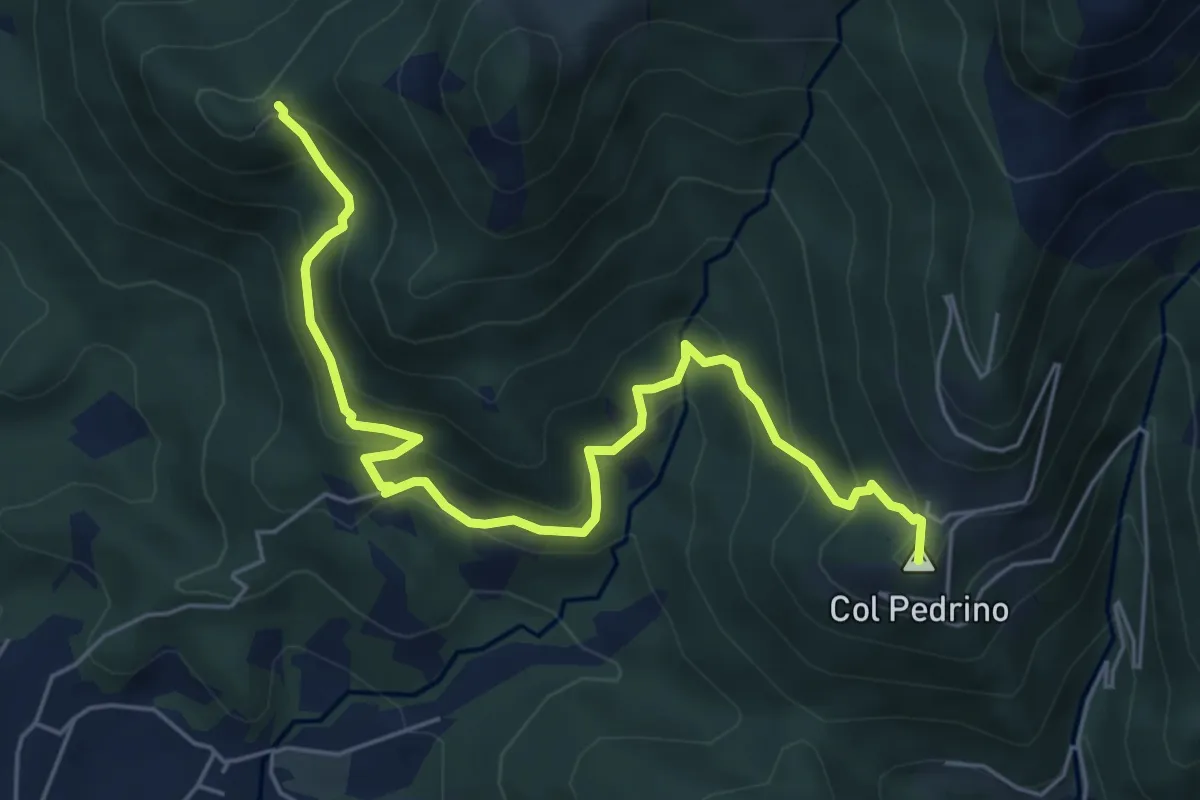
Medium · Summit
Località Foppa – Coldara
6.6 km · ↑ 509 m · 2 h 39 min · 6 km away
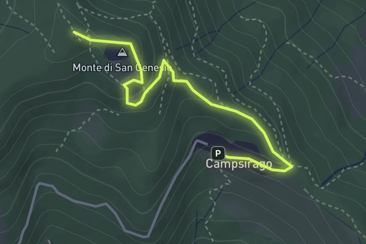
Medium · Summit
Il Sentiero di Giano
3.4 km · ↑ 182 m · 1 h 11 min · 6 km away
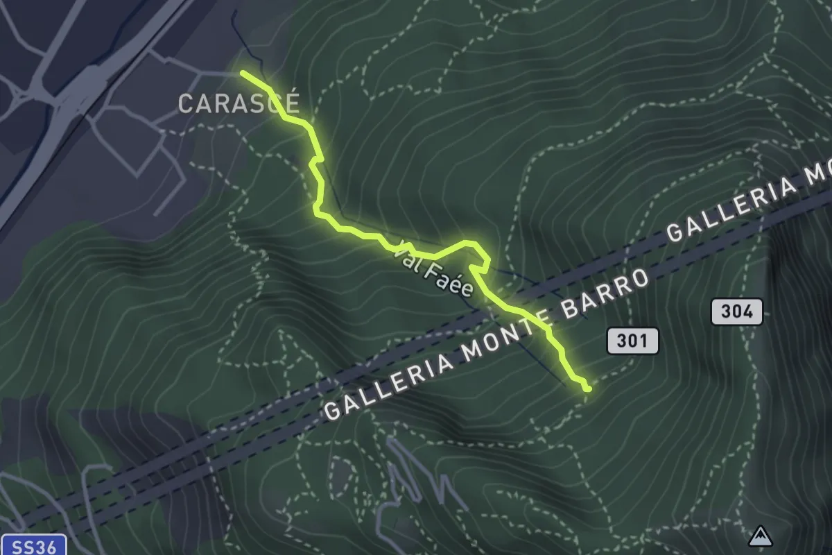
Medium · Trail
Carascé – Faée Alto
2.9 km · ↑ 388 m · 1 h 31 min · 6 km away
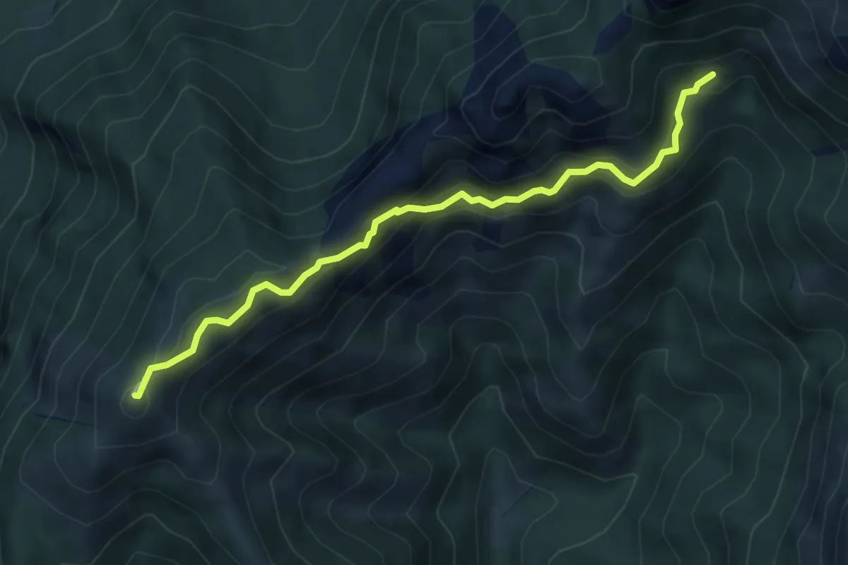
Demanding · Summit
Rif. Alpinisti Monzesi – Monte Magnodeno
5.1 km · ↑ 345 m · 1 h 57 min · 6 km away
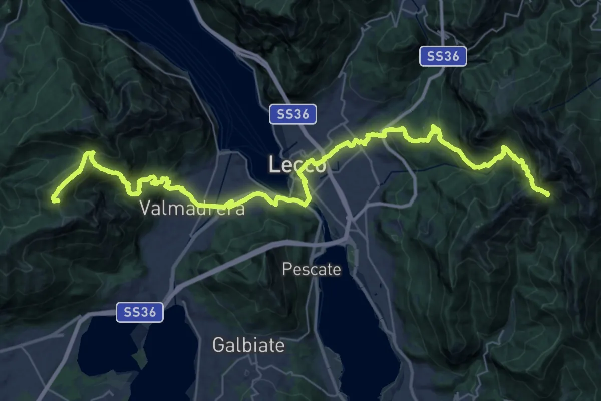
Demanding · Summit
CamminaForeste - Tappa 9C
38.3 km · ↑ 2417 m · 14 h 17 min · 6 km away
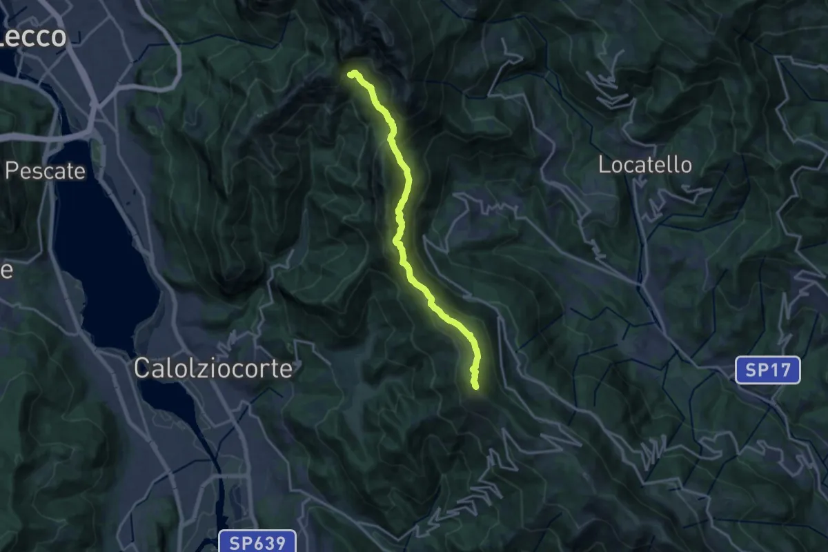
Demanding · Summit
Sentiero del 70° UOEI
14.5 km · ↑ 1044 m · 5 h 41 min · 6 km away