Trails near Calolziocorte
330 hikes starting within 15 km, nearest first.
Nearest first, page 2 of 7
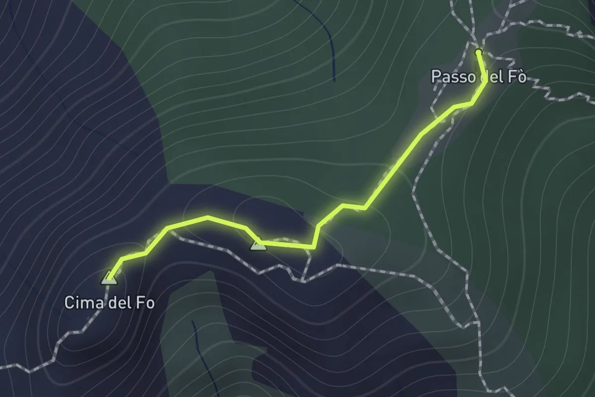
Expert · Summit
Sentiero 928 – Passo del Fo'
1.0 km · ↑ 72 m · 23 min · 6 km away
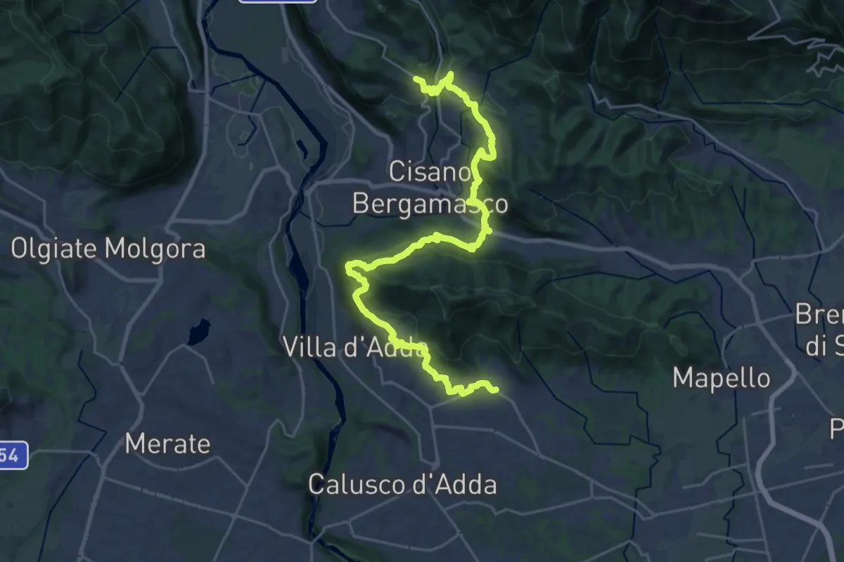
Medium · Trail
Sentiero Papa Giovanni XXIII
13.8 km · ↑ 408 m · 4 h 24 min · 6 km away
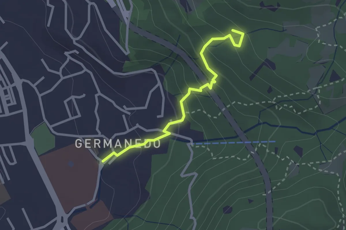
Easy · Trail
Lecco – Innesto su percorso 903
2.4 km · ↑ 183 m · 57 min · 6 km away
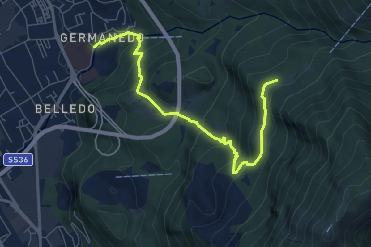
Medium · Trail
Lecco – Campo de' Boi, La Madonnina
6.5 km · ↑ 445 m · 2 h 31 min · 6 km away
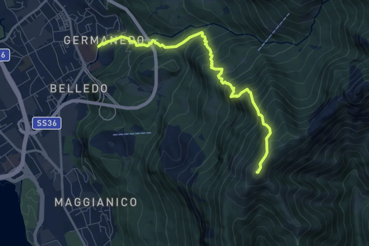
Demanding · Summit
Lecco Germanedo – Monte Magnodeno
8.0 km · ↑ 950 m · 3 h 57 min · 6 km away
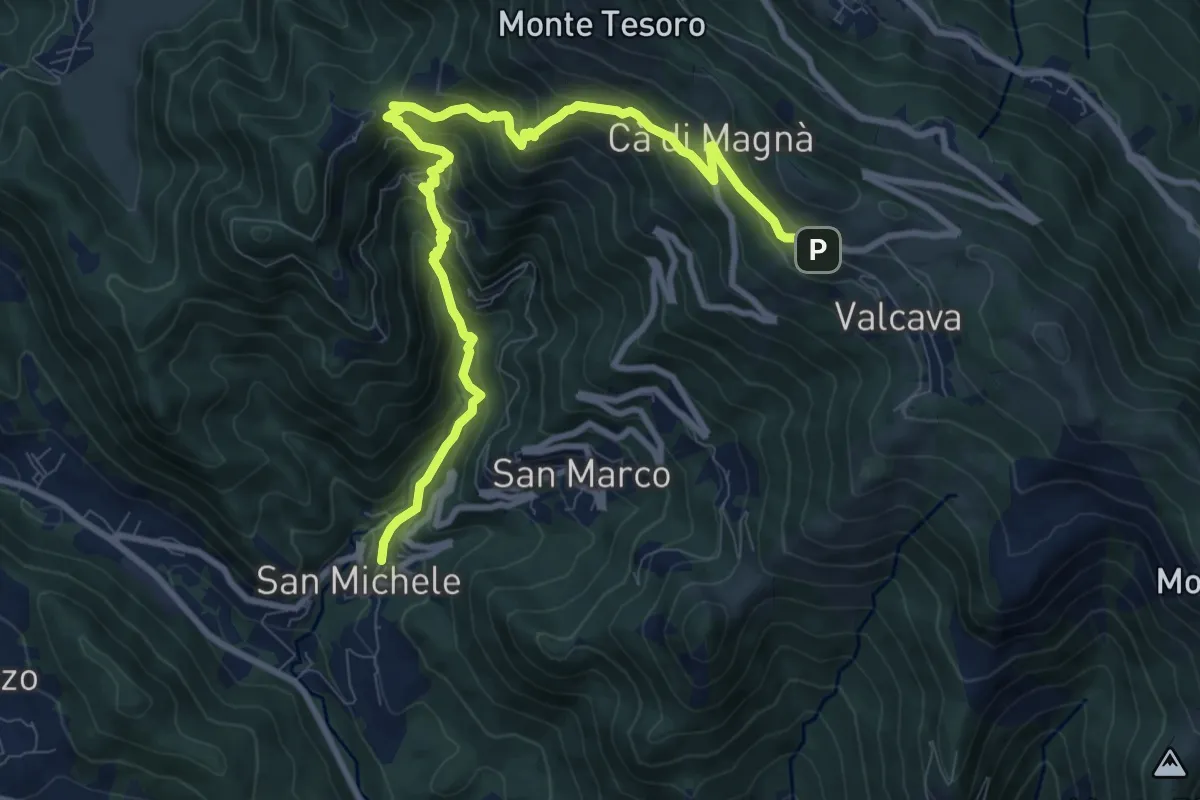
Demanding · Trail
Torre de' Busi – Valcava
10.8 km · ↑ 894 m · 4 h 29 min · 6 km away
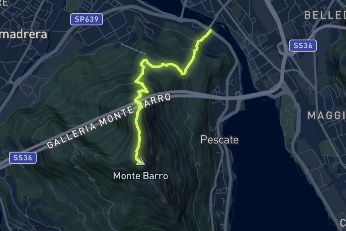
Expert · Summit
Lecco (Ponte Azzone Visconti) – Monte Barro
6.6 km · ↑ 705 m · 3 h 5 min · 6 km away
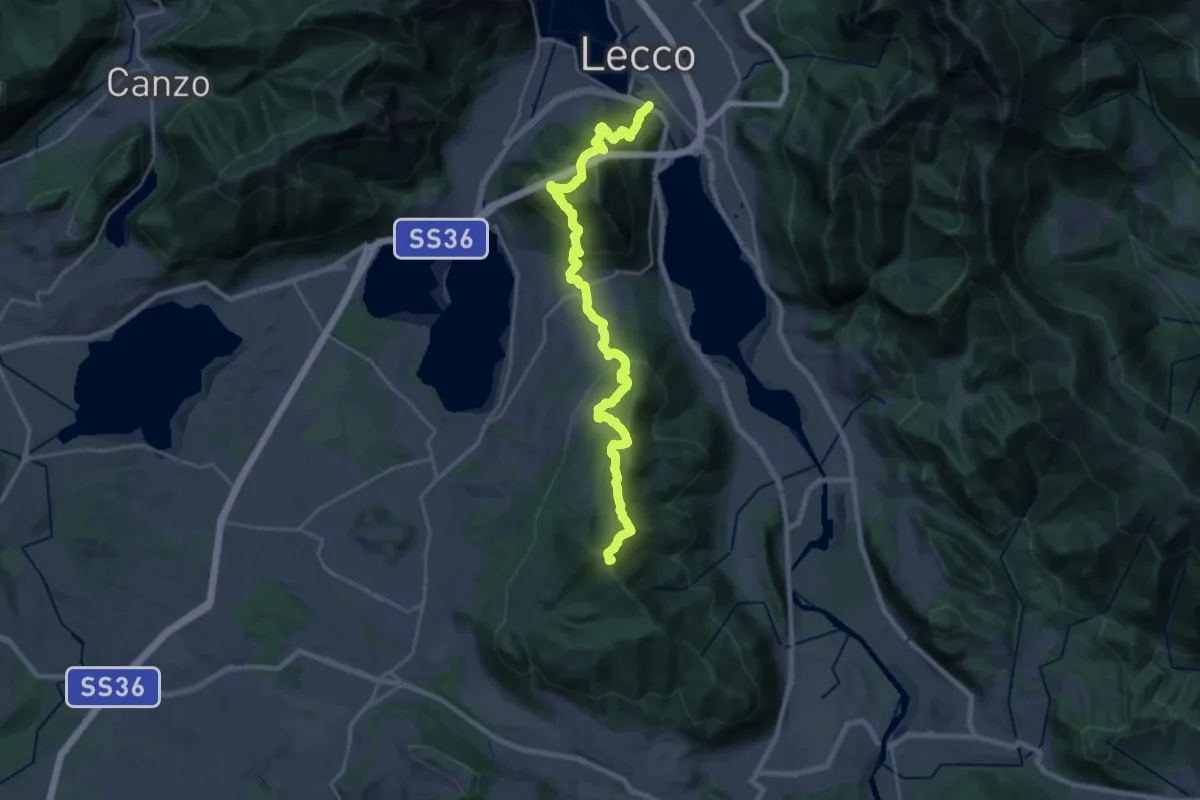
Demanding · Summit
Sentierone
27.4 km · ↑ 1740 m · 10 h 14 min · 6 km away
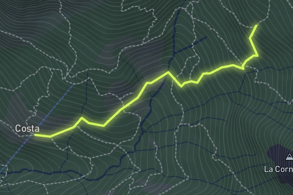
Medium · Trail
Frazione Costa – Innesto sentiero 901
2.4 km · ↑ 303 m · 1 h 14 min · 6 km away
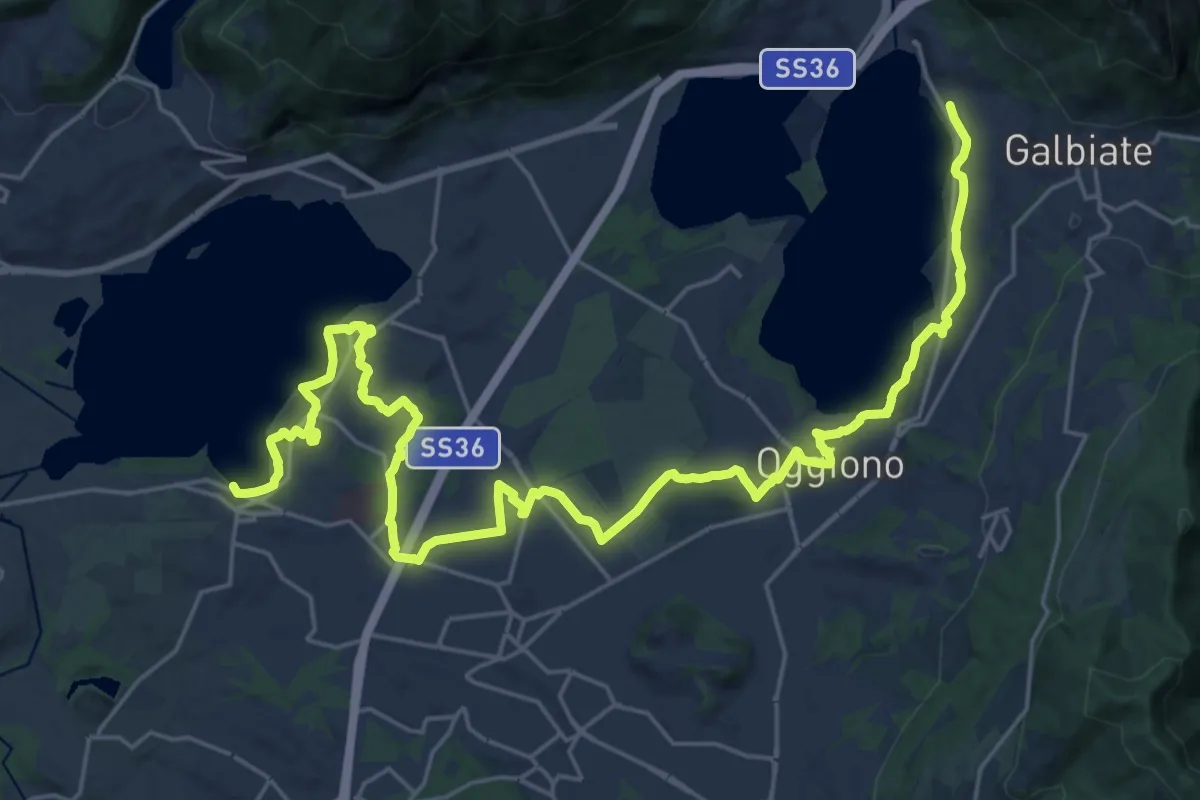
Medium · Trail
Sentiero Pedemonte - Tappa 3
16.6 km · ↑ 163 m · 4 h 30 min · 6 km away
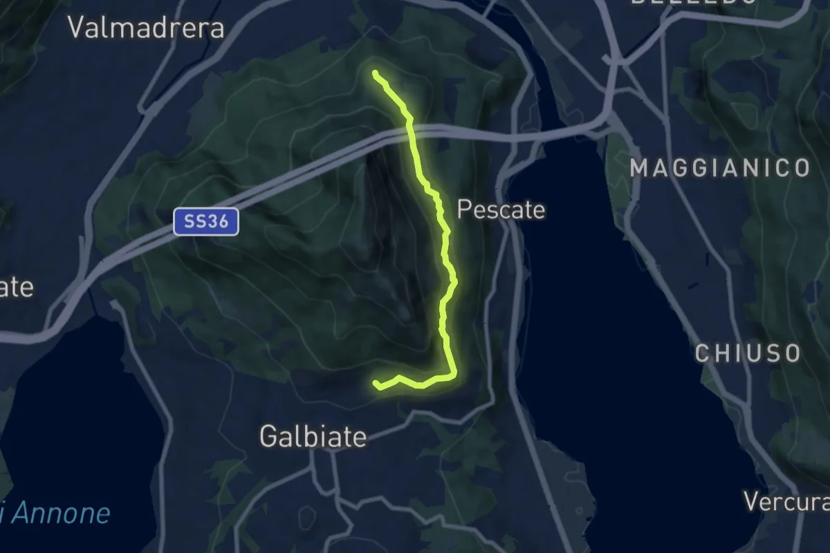
Medium · Trail
Sentiero di mezzo
6.7 km · ↑ 354 m · 2 h 21 min · 6 km away
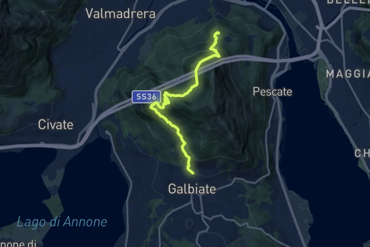
Medium · Trail
Sentiero di mezzo
9.3 km · ↑ 734 m · 3 h 47 min · 6 km away
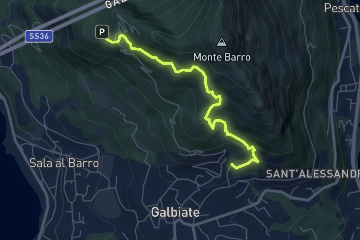
Medium · Trail
Galbiate – Parco archeologico Monte Barro
5.6 km · ↑ 521 m · 2 h 27 min · 6 km away
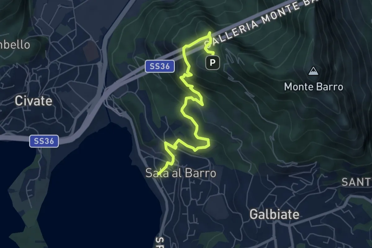
Medium · Trail
Sala al Barro (FS) – Parco archeologico Monte Barro
6.9 km · ↑ 476 m · 2 h 40 min · 6 km away
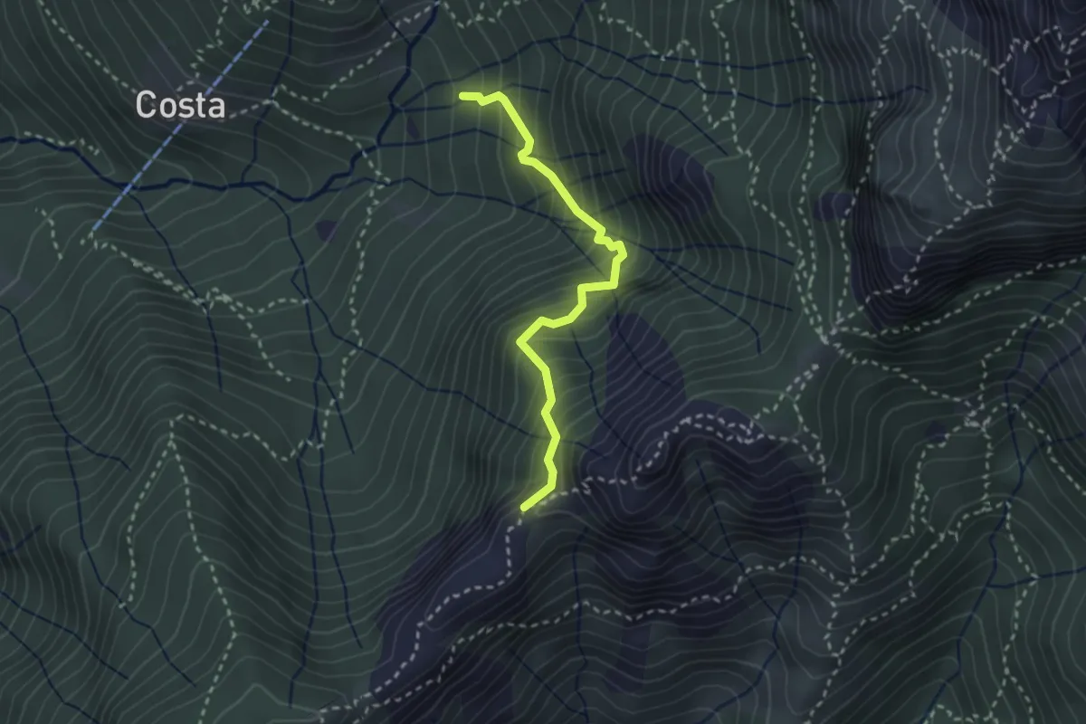
Demanding · Trail
Sentiero della Guardia
2.7 km · ↑ 404 m · 1 h 30 min · 6 km away
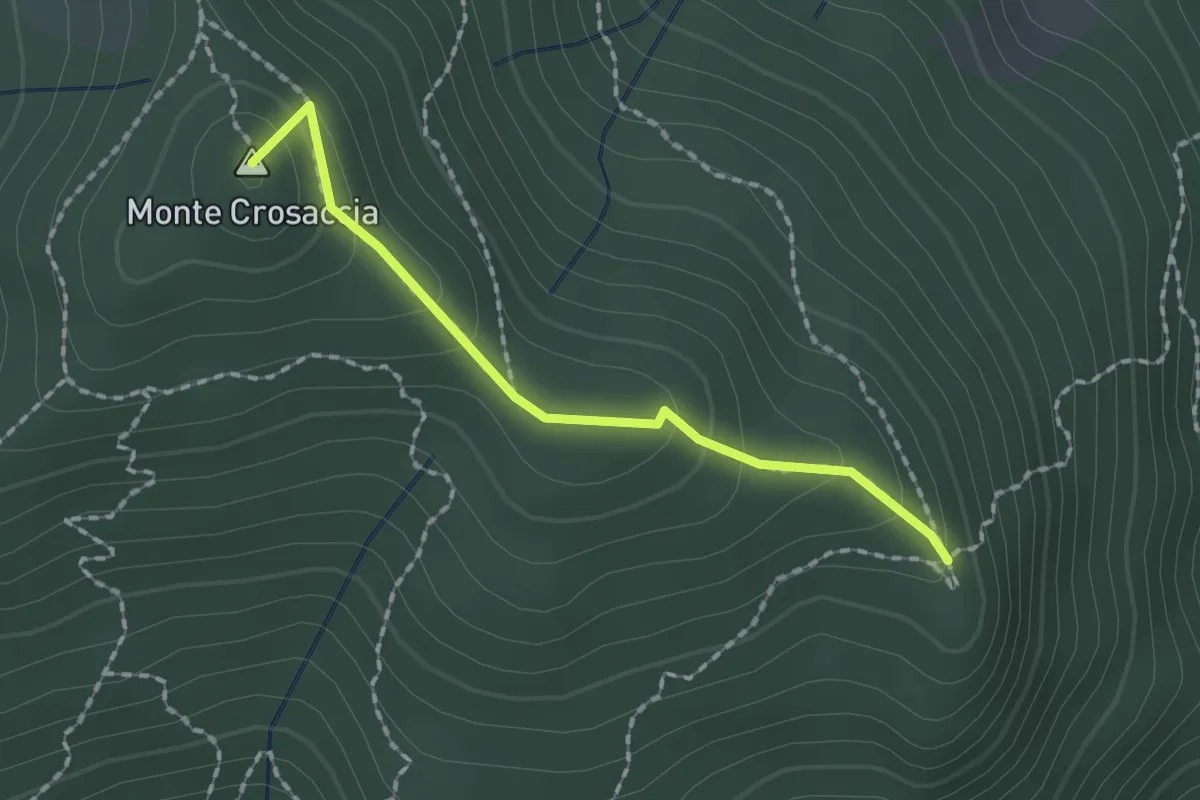
Easy · Summit
Crosaccia – Campsirago
1.7 km · ↑ 100 m · 37 min · 6 km away
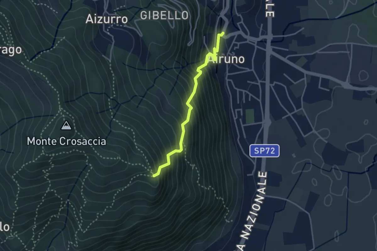
Medium · Trail
Airuno (FS) – Crosaccia
2.9 km · ↑ 356 m · 1 h 27 min · 6 km away
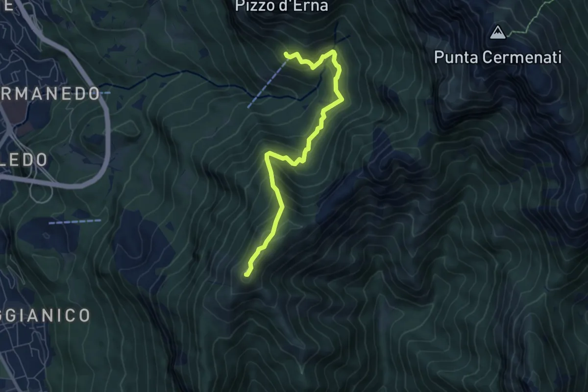
Demanding · Summit
Rifugio Stoppani – Monte Magnodeno
6.5 km · ↑ 557 m · 2 h 45 min · 6 km away
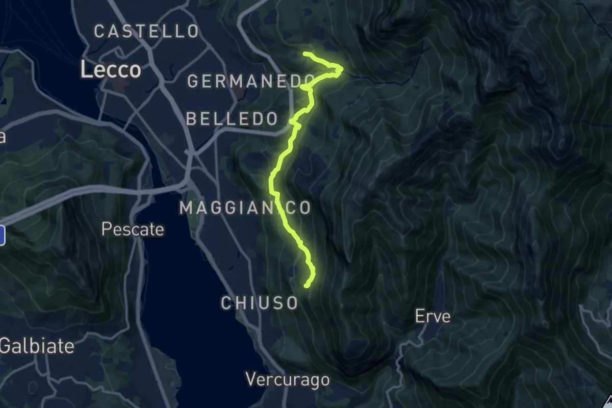
Medium · Trail
Percorso Giorgio Combi
10.5 km · ↑ 564 m · 3 h 43 min · 6 km away
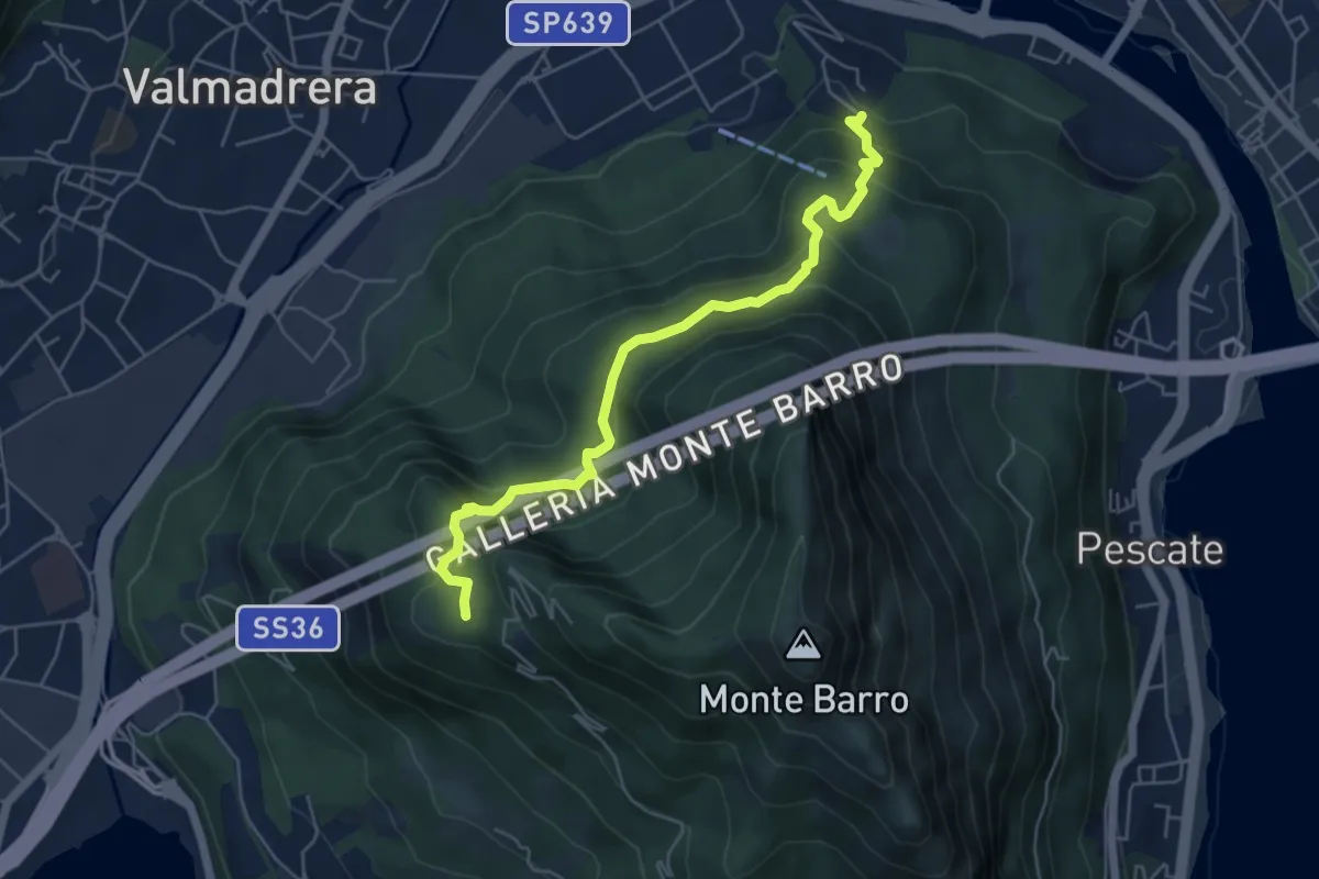
Demanding · Trail
Malgrate – Parco archeologico Monte Barro
5.6 km · ↑ 409 m · 2 h 12 min · 6 km away
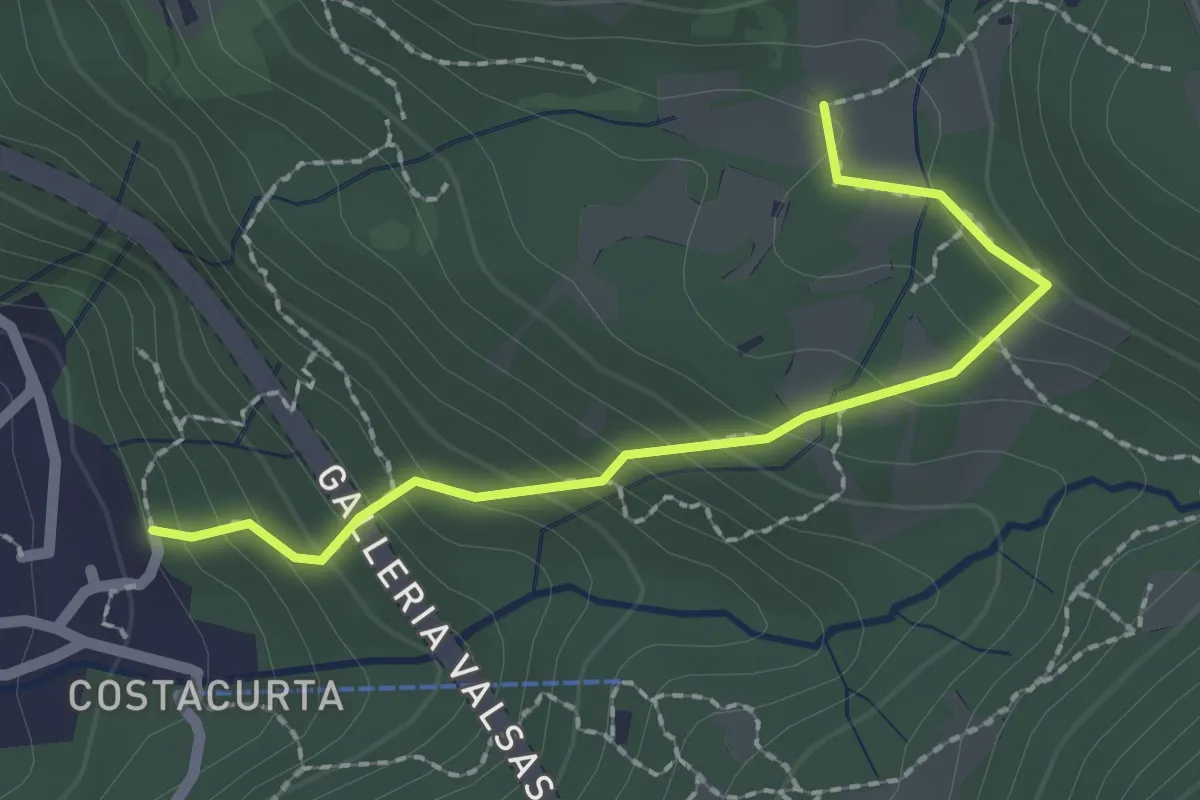
Easy · Trail
Germanedo, innesto percorso 903-1 – Cavagiozzo, innesto percorso 903
2.1 km · ↑ 196 m · 56 min · 6 km away
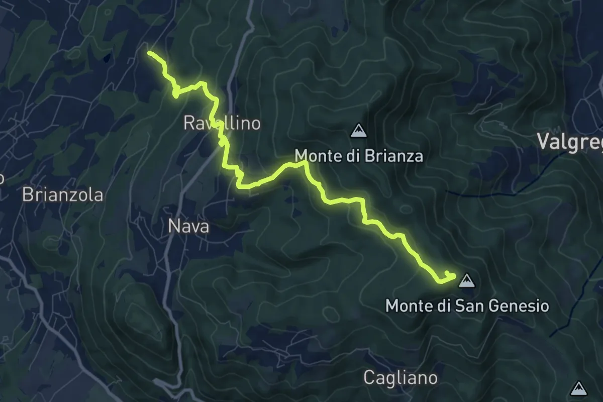
Medium · Summit
Marconaga – Monte di San Genesio
9.9 km · ↑ 516 m · 3 h 28 min · 6 km away
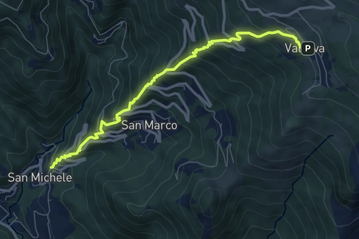
Medium · Trail
Torre de' Busi – Valcava
6.9 km · ↑ 790 m · 3 h 20 min · 6 km away
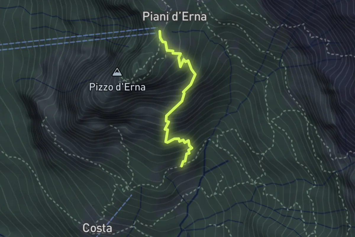
Medium · Trail
Sentiero della Sponda
2.4 km · ↑ 361 m · 1 h 21 min · 6 km away
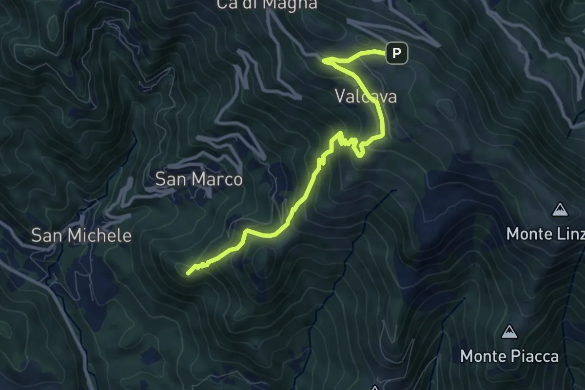
Medium · Summit
Torre de' Busi – Ripetitori (Valcava)
8.7 km · ↑ 620 m · 3 h 23 min · 6 km away
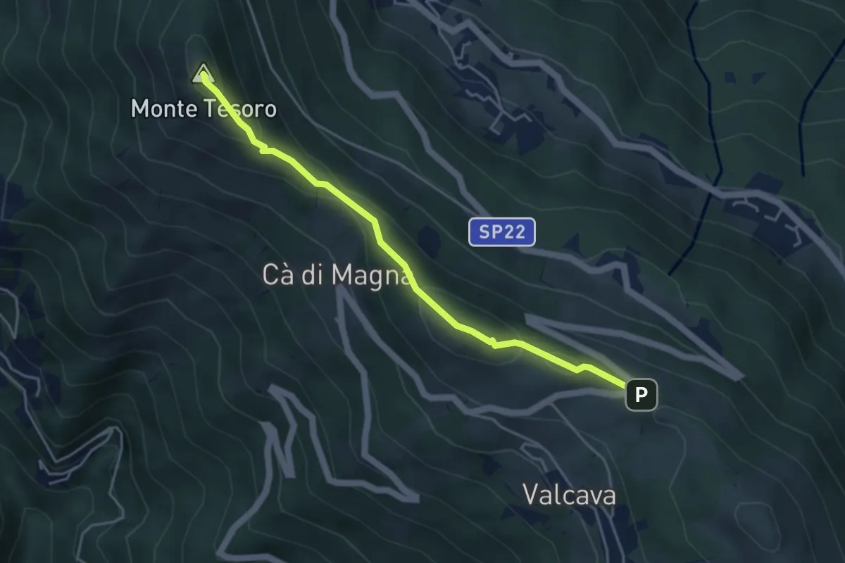
Medium · Summit
Ripetitori (Valcava) – Convento del Pertus
4.1 km · ↑ 216 m · 1 h 27 min · 6 km away
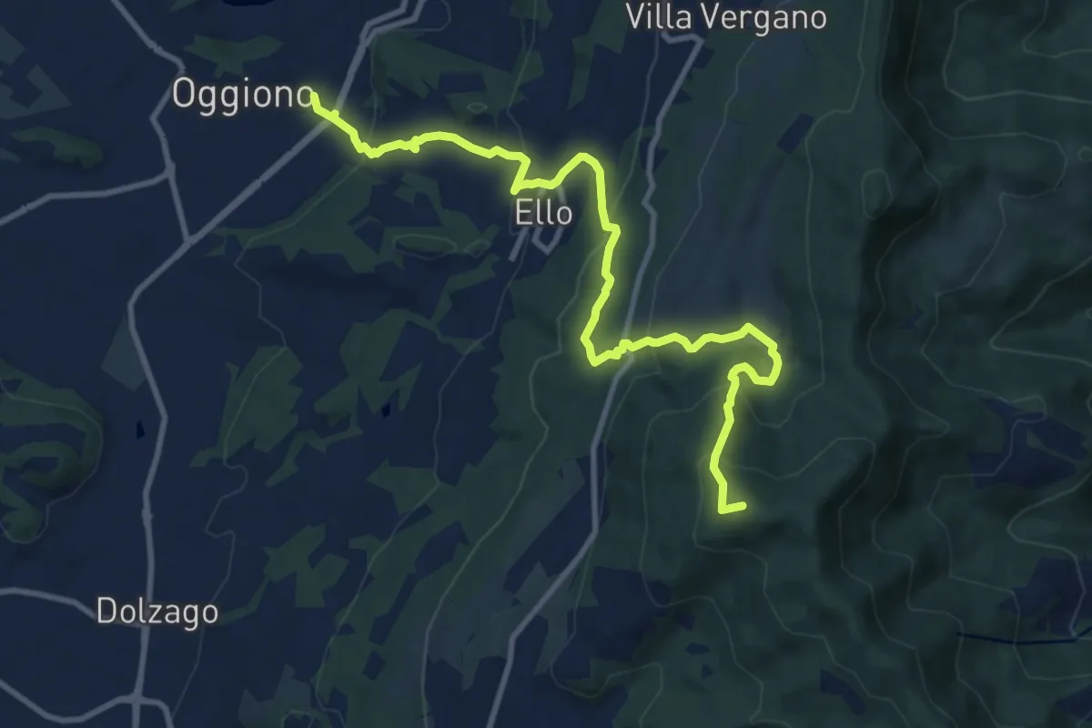
Medium · Summit
Oggiono – Monte Crocione
11.5 km · ↑ 618 m · 4 h 3 min · 7 km away
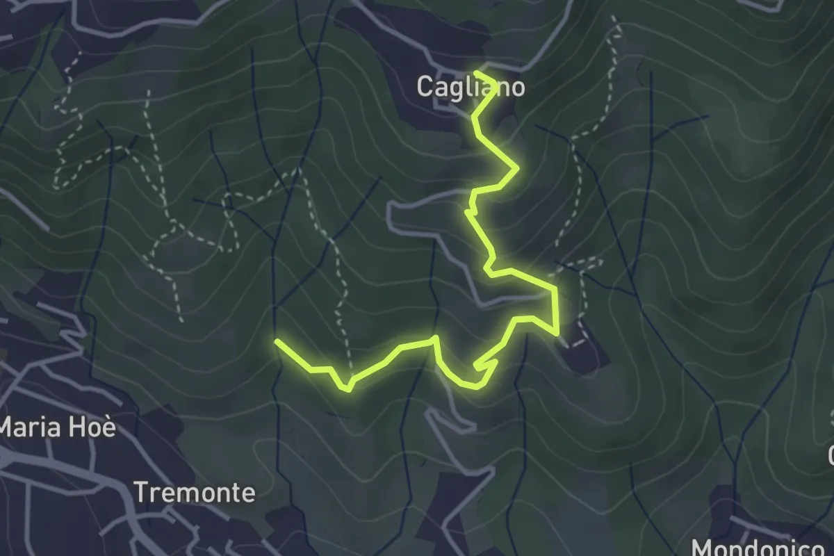
Easy · Trail
Ponte del Bordeà – Cagliano
3.6 km · ↑ 253 m · 1 h 25 min · 7 km away
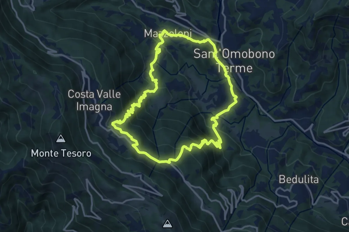
Medium · Trail
Sentiero del Dono
10.7 km · ↑ 707 m · 4 h 12 min · 7 km away
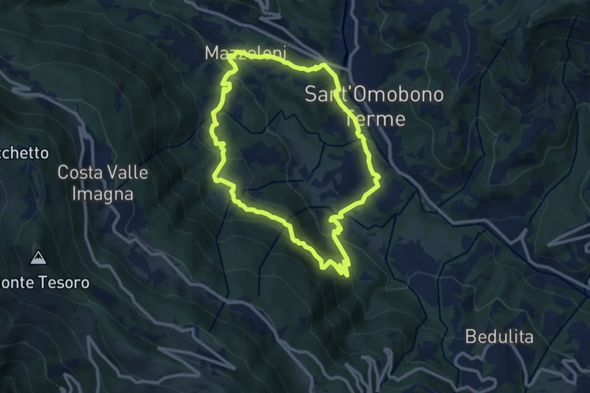
Medium · Trail
Cammino dei Petali
7.5 km · ↑ 428 m · 2 h 48 min · 7 km away
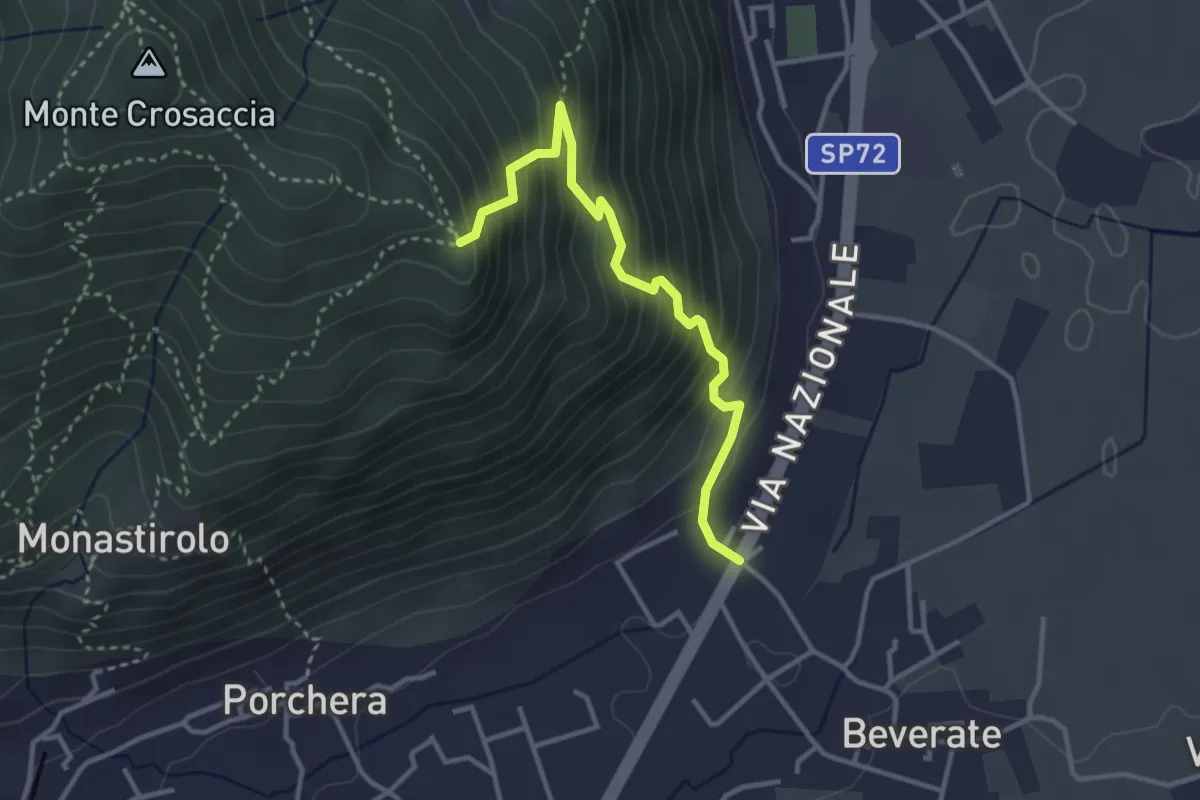
Medium · Trail
Beverate – Crosaccia
3.3 km · ↑ 384 m · 1 h 37 min · 7 km away
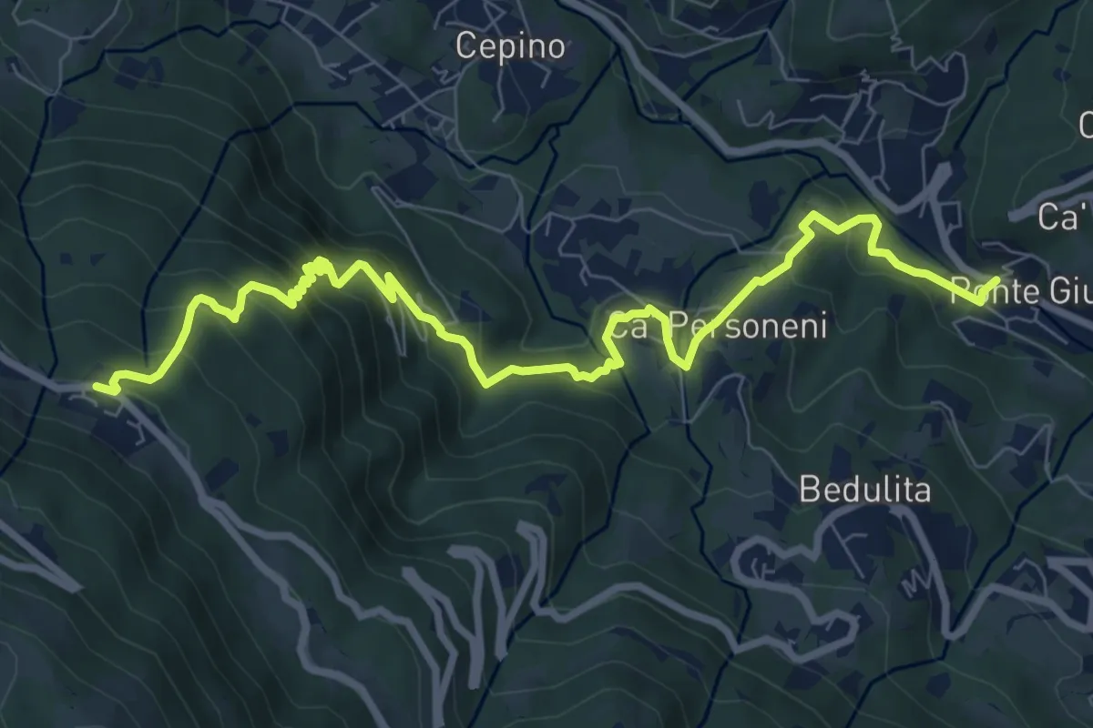
Medium · Trail
Ponte Giurino – Costa Imagna
9.8 km · ↑ 797 m · 4 h 2 min · 7 km away
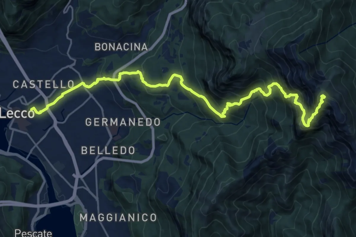
Demanding · Summit
Lecco (Stazione) – Monte Resegone
18.8 km · ↑ 1725 m · 8 h 10 min · 7 km away
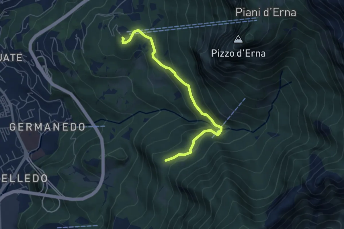
Easy · Trail
Piazzale funivia – Campo de' Boi - La Madonnina
5.5 km · ↑ 212 m · 1 h 45 min · 7 km away
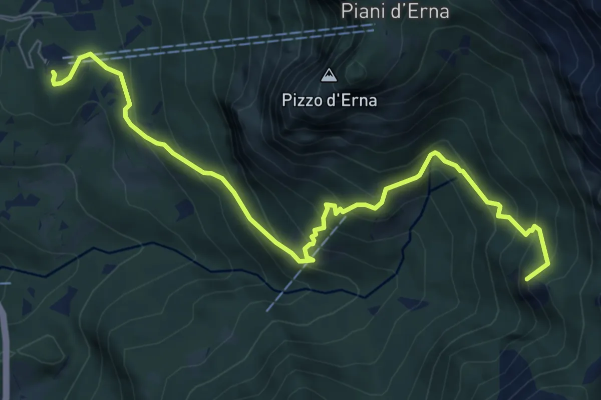
Medium · Summit
Piazzale funivia per Piani d'Erna – Rif. Alpinisti Monzesi
7.7 km · ↑ 658 m · 3 h 15 min · 7 km away
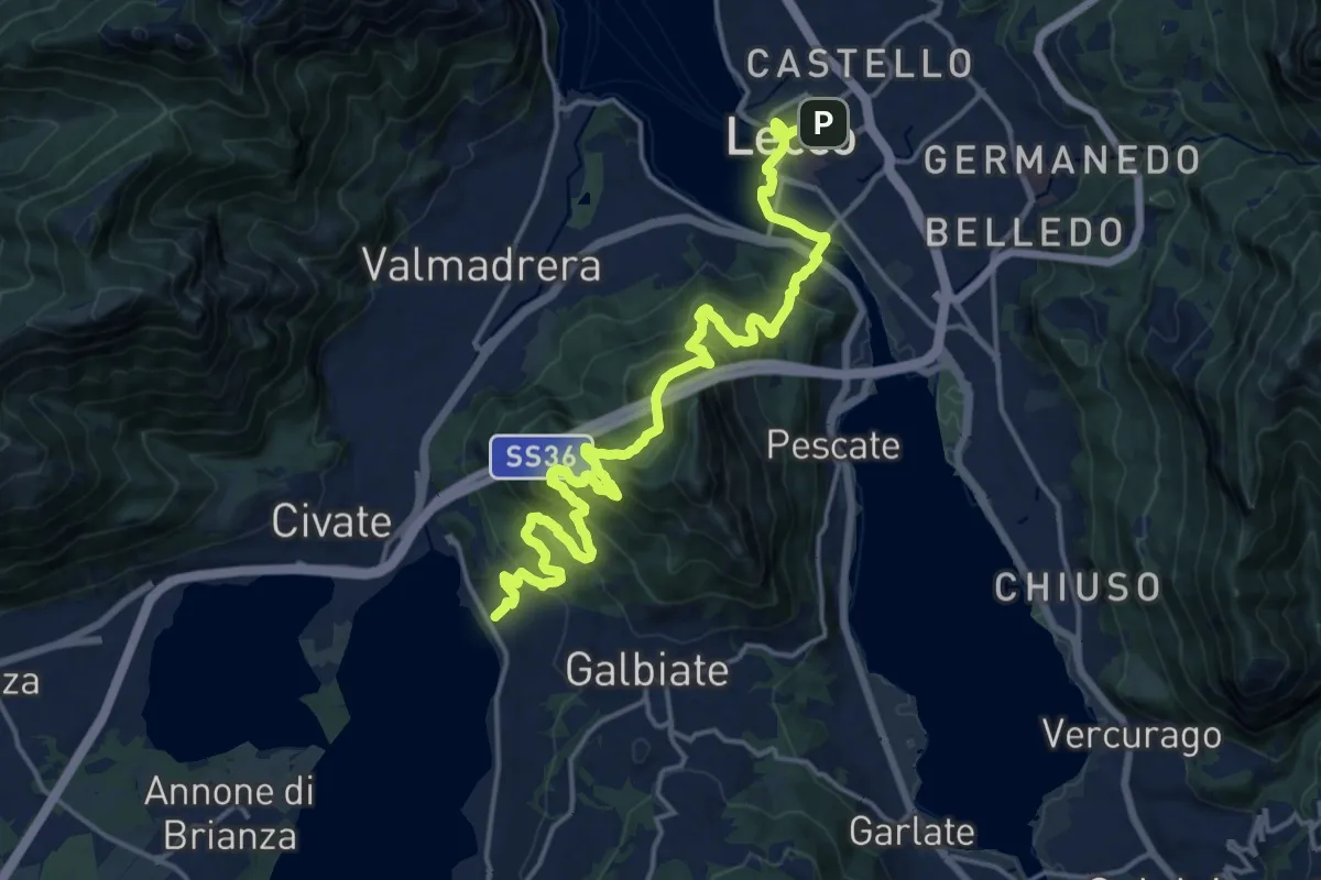
Demanding · Trail
Sentiero Pedemonte - Tappa 4
20.8 km · ↑ 1302 m · 7 h 43 min · 7 km away
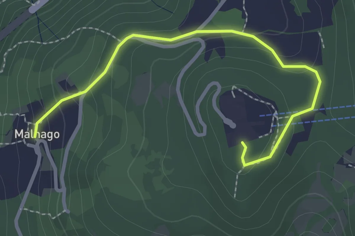
Easy · Trail
Malnago – Piazzale funivia per Erna
2.5 km · ↑ 112 m · 50 min · 7 km away
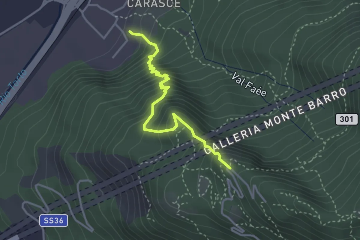
Medium · Trail
Valmadrera (fornaci Villa) – Culcinera
3.1 km · ↑ 428 m · 1 h 40 min · 7 km away
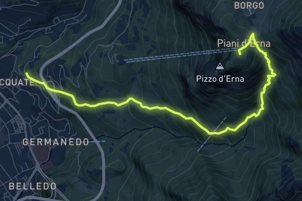
Demanding · Trail
Acquate – Piani d'Erna, funivia
10.6 km · ↑ 997 m · 4 h 40 min · 7 km away
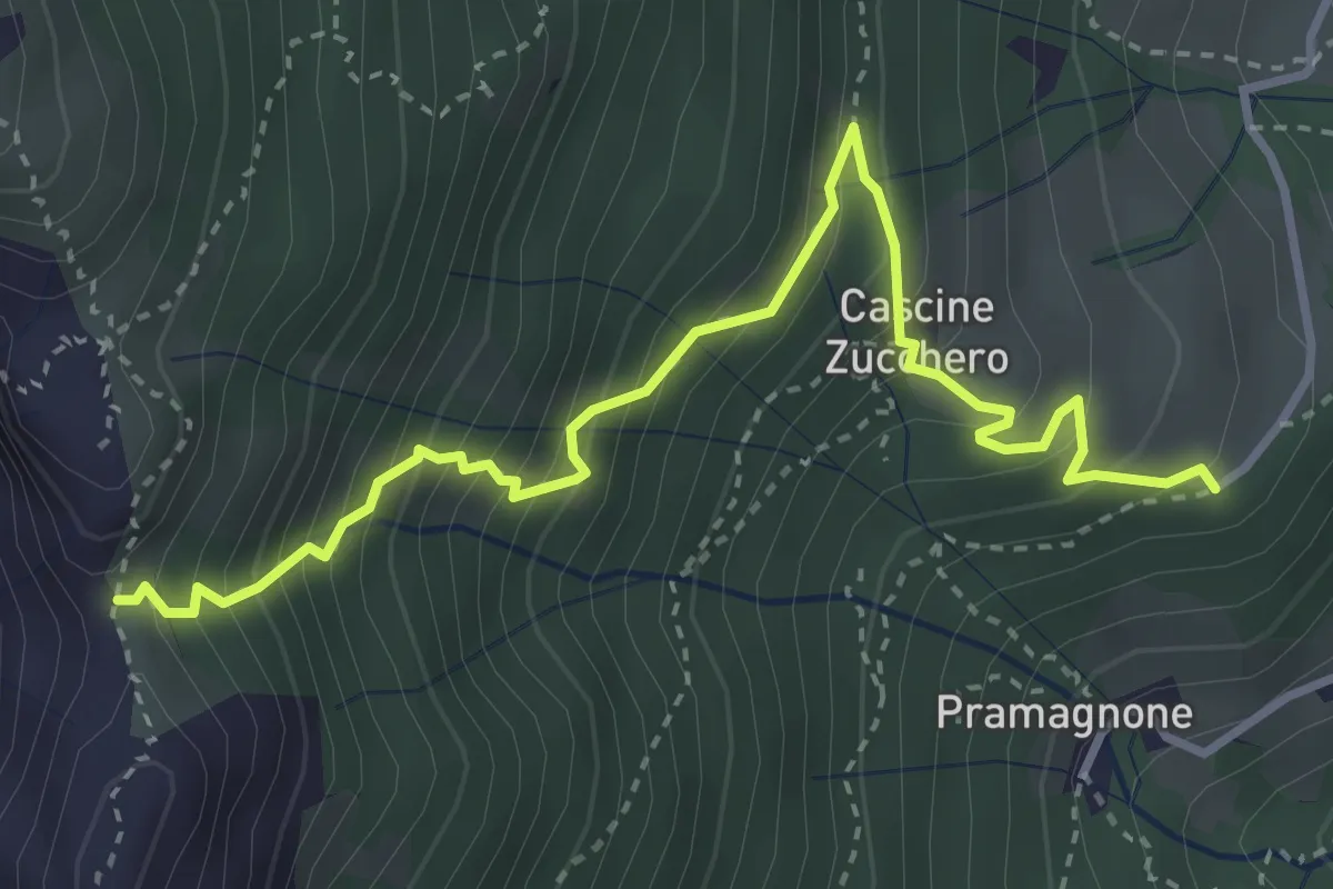
Demanding · Trail
Cascina Zucchero (Brumano) – Cima Piazzo
4.0 km · ↑ 518 m · 2 h 5 min · 7 km away
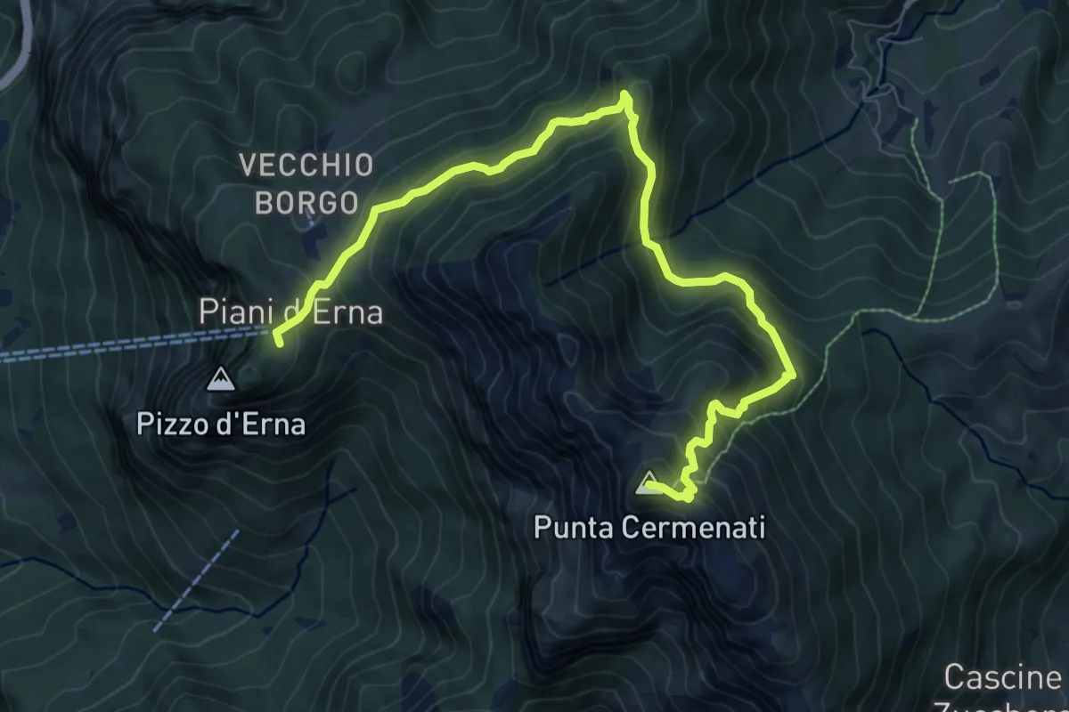
Demanding · Summit
Piani d'Erna – Rif. Azzoni
10.0 km · ↑ 884 m · 4 h 16 min · 7 km away
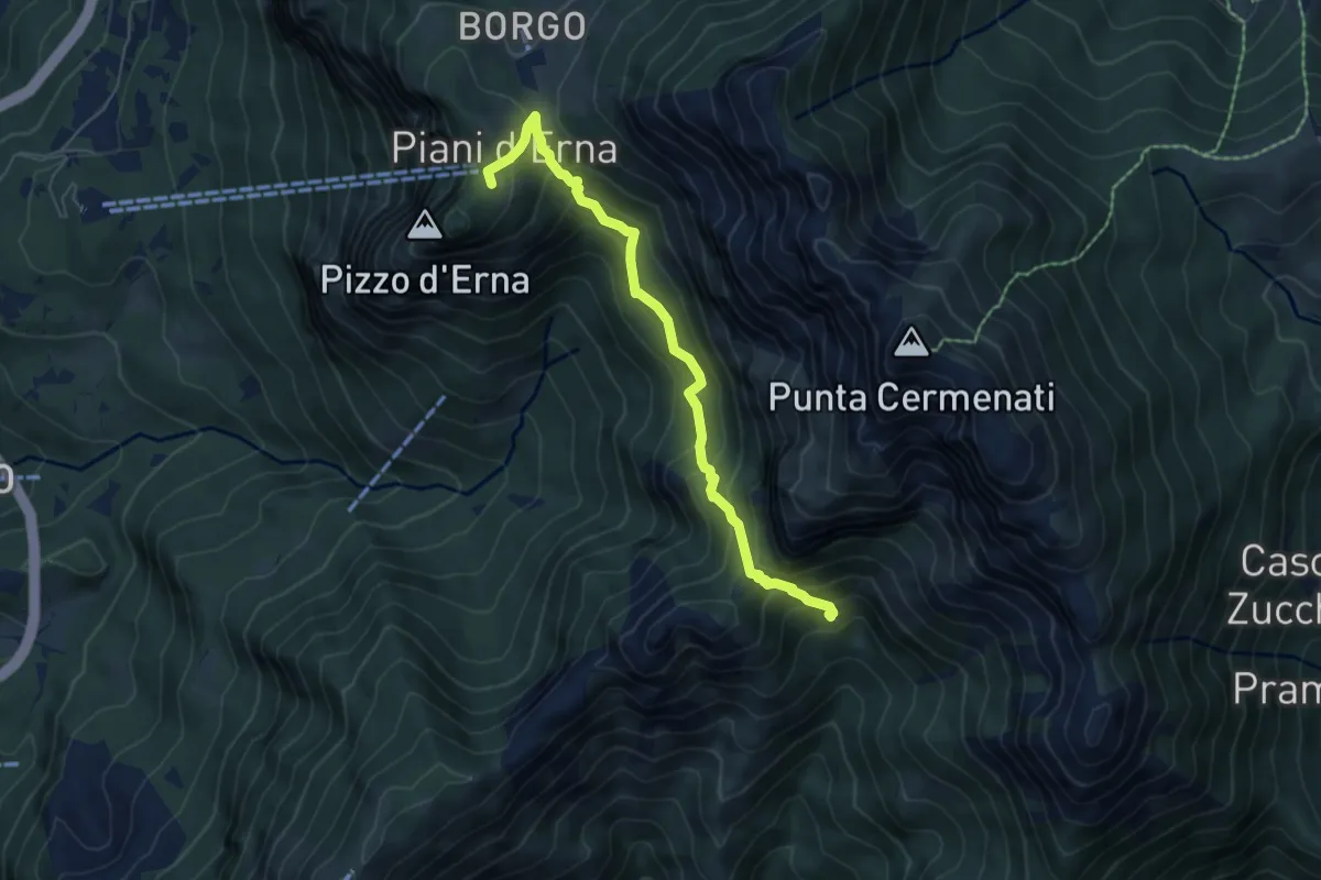
Medium · Cabin
Capanna Alpinisti Monzesi – Piani d'Erna
6.0 km · ↑ 566 m · 2 h 38 min · 7 km away
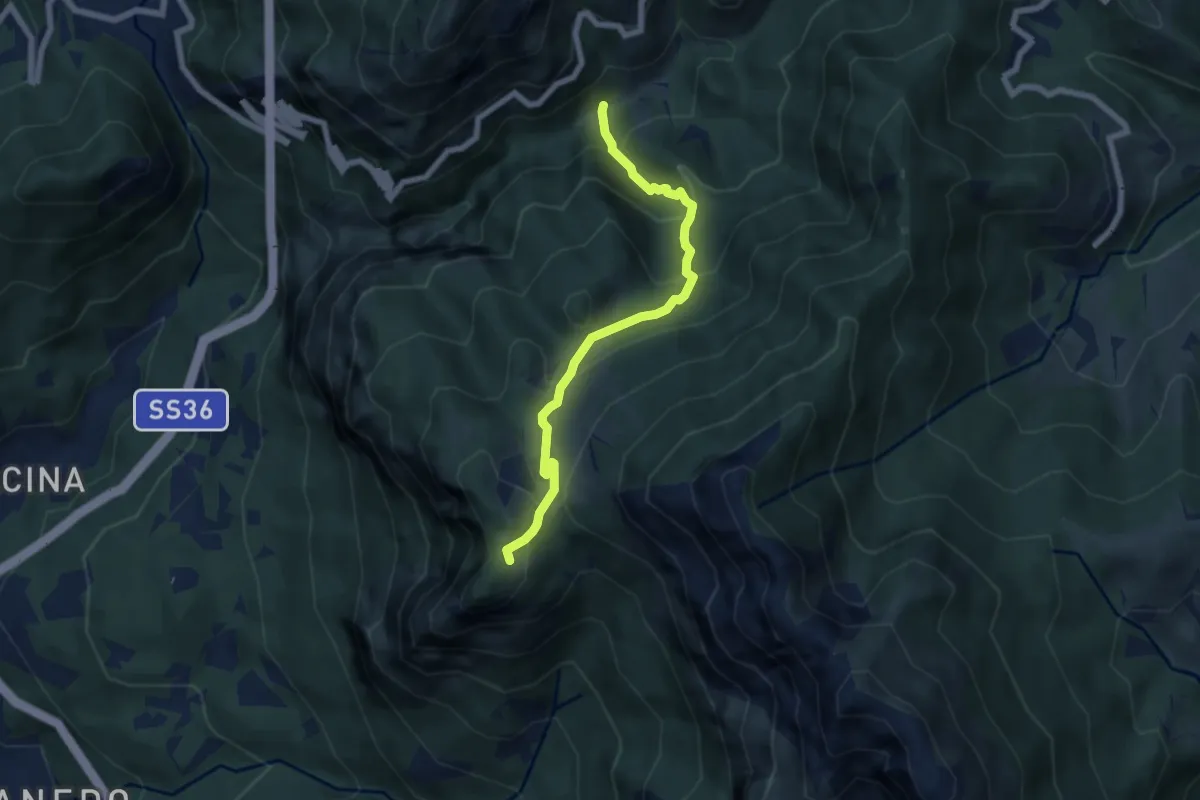
Medium · Trail
Boazzo, percorso 922 – Piani d'Erna, arrivo Funivia
6.2 km · ↑ 477 m · 2 h 29 min · 7 km away
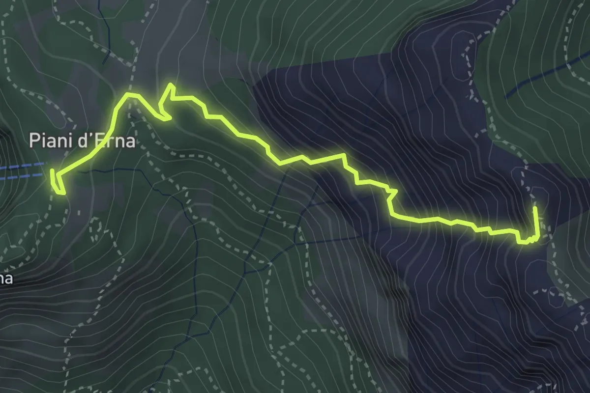
Expert · Summit
Sentiero Carlo Villa
4.1 km · ↑ 544 m · 2 h 9 min · 7 km away
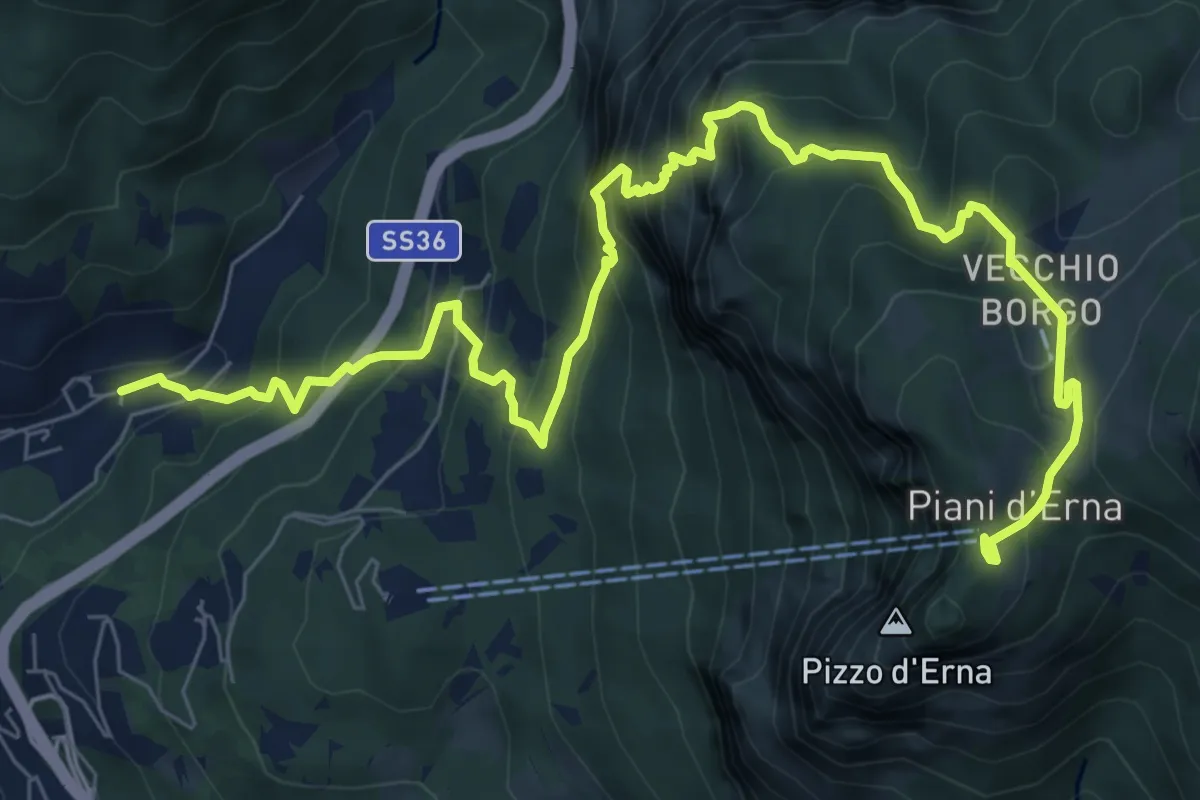
Demanding · Trail
Sentiero del Passo del Cammello
10.6 km · ↑ 1107 m · 4 h 54 min · 7 km away
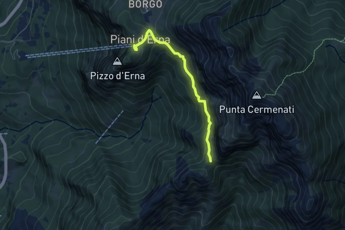
Demanding · Cabin
Piani d'Erna – Capanna Ghislandi
5.3 km · ↑ 350 m · 2 h · 7 km away
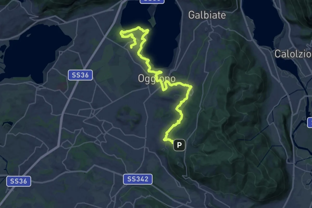
Medium · Trail
Antico Percorso di Fede dell'Alta Brianza
14.0 km · ↑ 200 m · 4 h 4 min · 7 km away
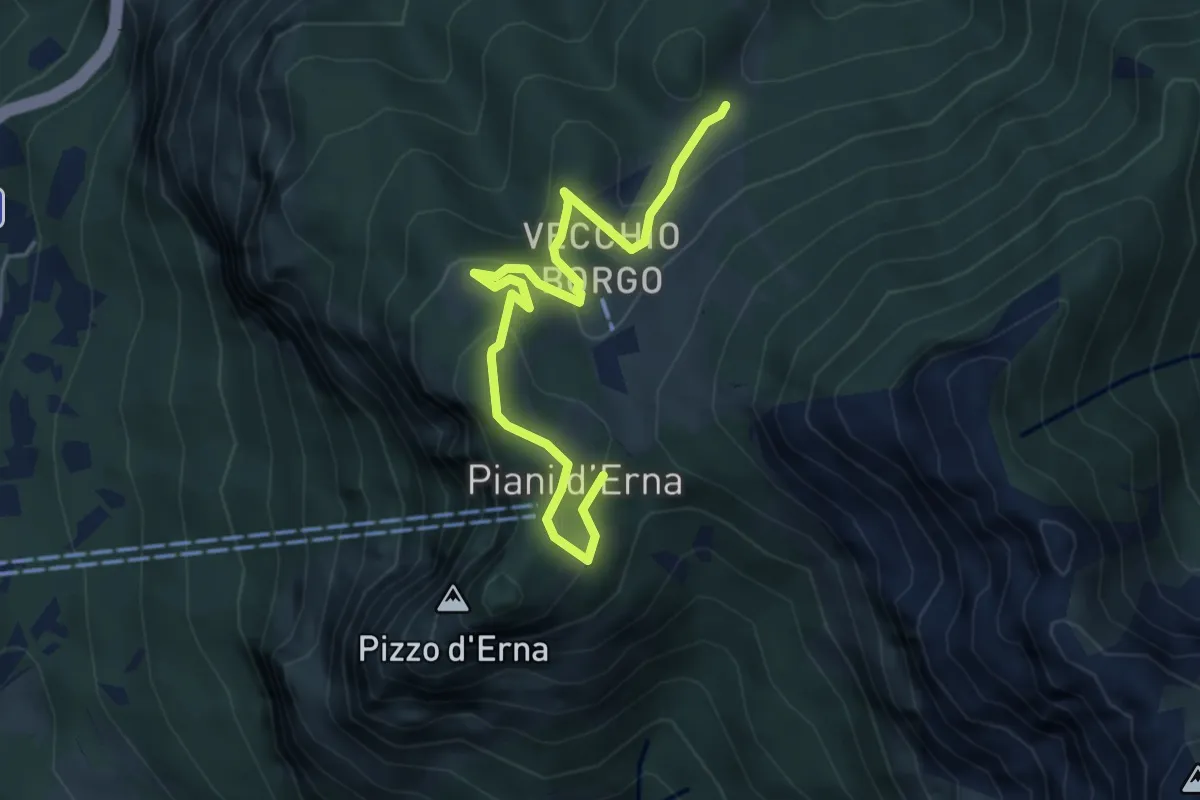
Easy · Trail
Sentiero Natura
5.3 km · ↑ 246 m · 1 h 47 min · 7 km away