Trails near Calolziocorte
330 hikes starting within 15 km, nearest first.
Nearest first, page 3 of 7
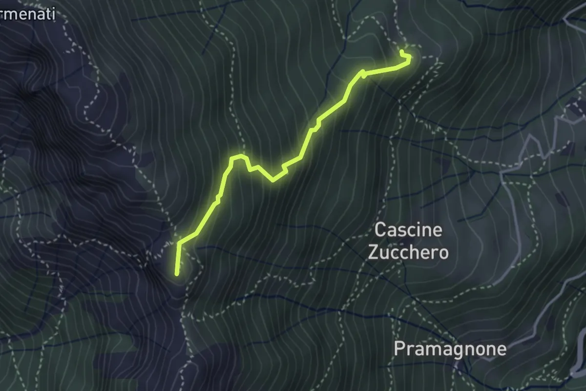
Demanding · Summit
Rifugio Resegone (incrocio 587) – Passo dei Solitari
3.1 km · ↑ 351 m · 1 h 29 min · 7 km away
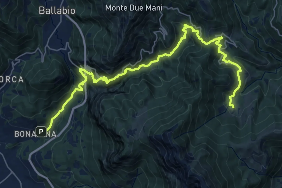
Demanding · Trail
Bonacina – Morterone
11.5 km · ↑ 1187 m · 5 h 5 min · 7 km away
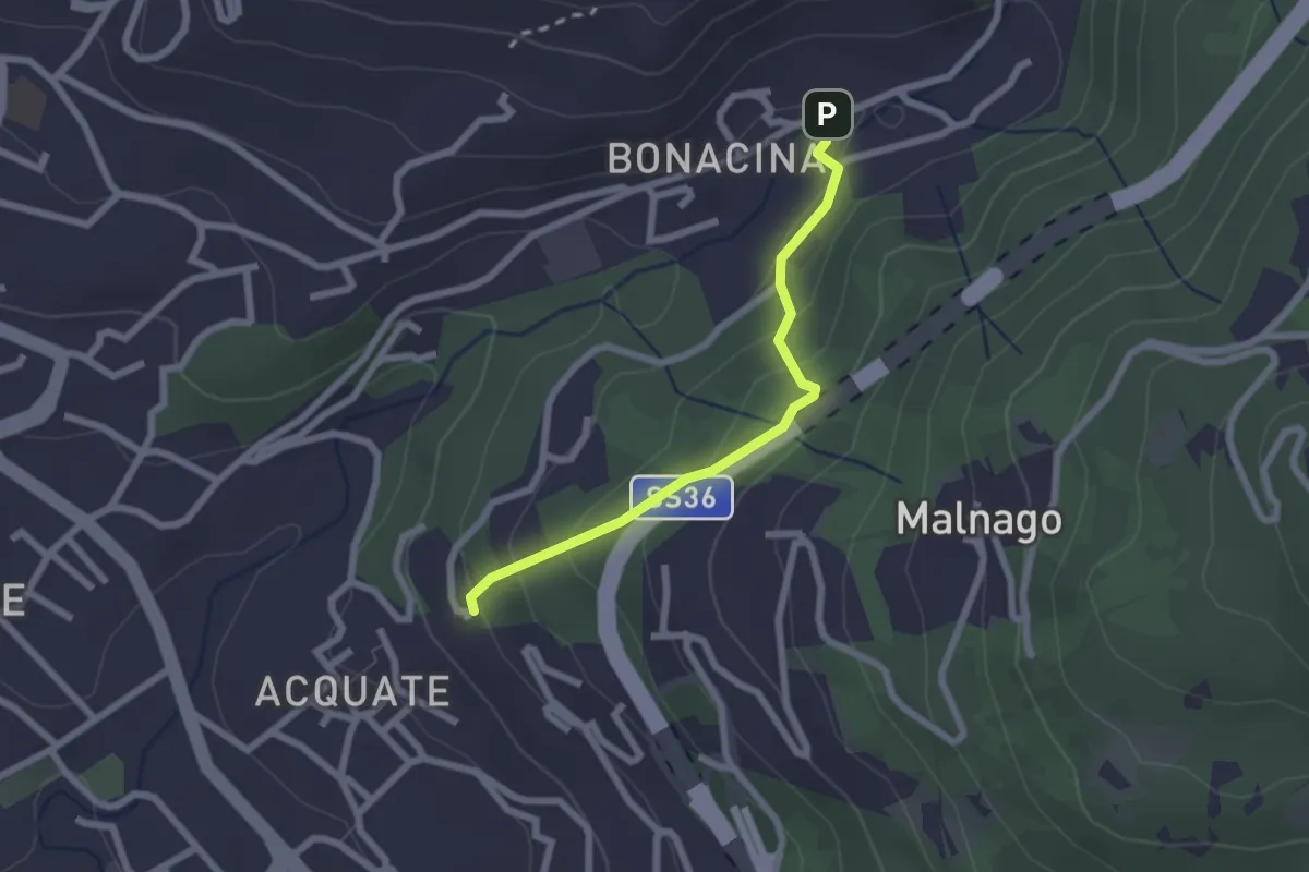
Easy · Trail
Bonacina – Acquate, Madonna di Lourdes
2.1 km · ↑ 114 m · 45 min · 7 km away
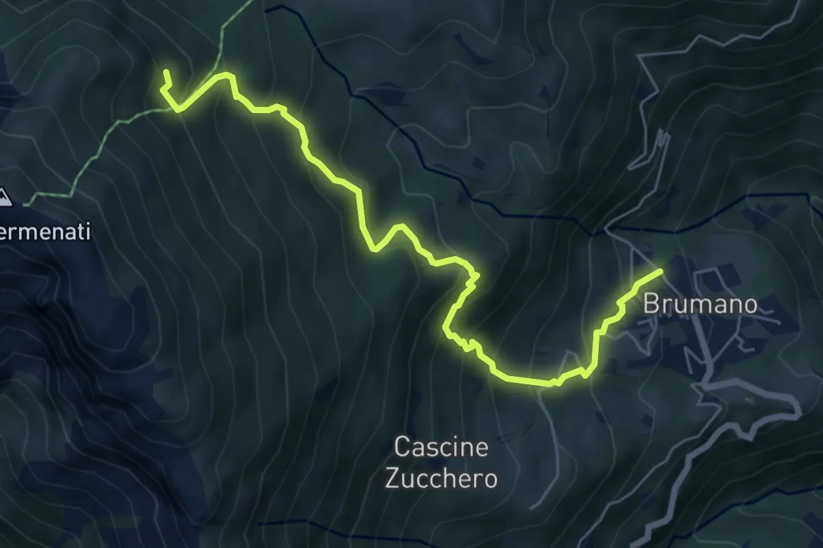
Medium · Trail
Brumano – Colletto di Brumano (incrocio 571)
6.4 km · ↑ 625 m · 2 h 52 min · 8 km away
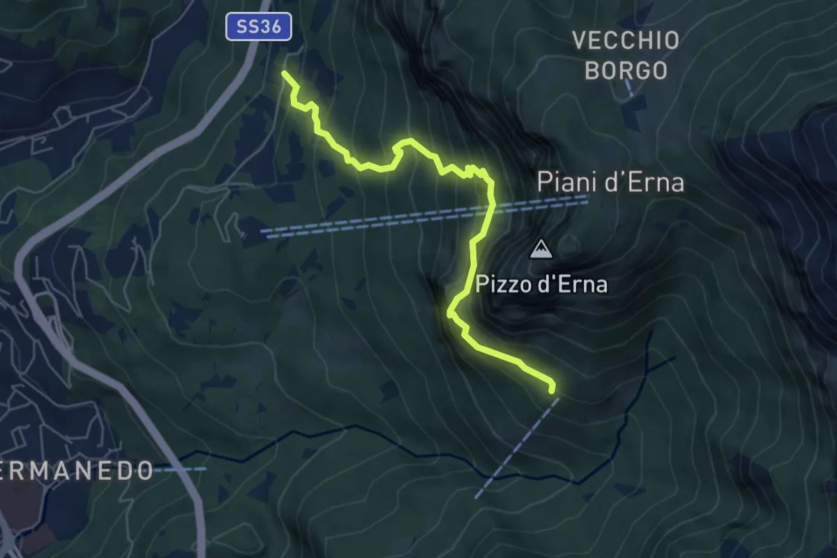
Expert · Cabin
Versasio – Rifugio Stoppani
5.6 km · ↑ 636 m · 2 h 42 min · 8 km away
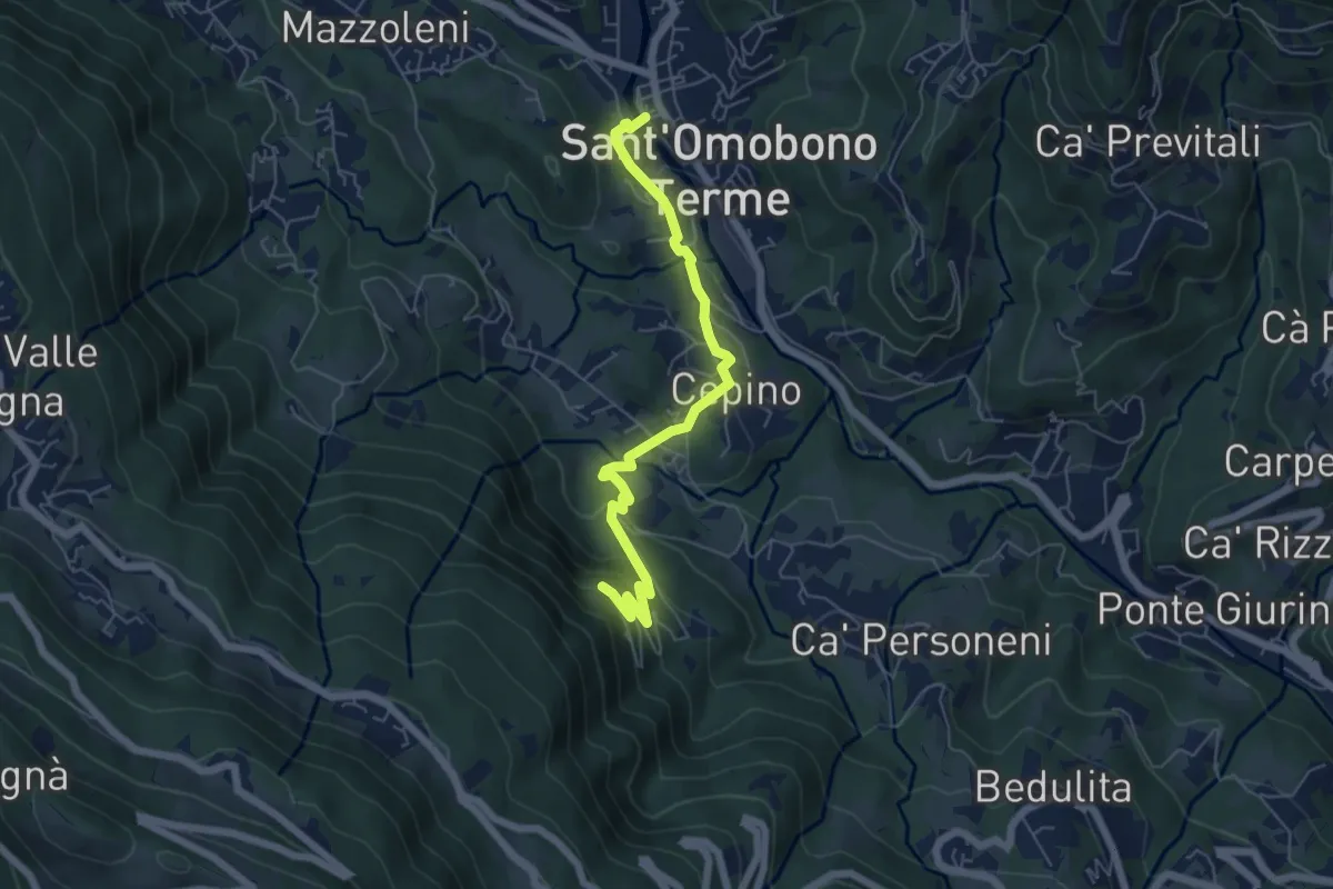
Easy · Trail
Selino Basso – Santuario della Cornabusa
6.0 km · ↑ 293 m · 2 h 3 min · 8 km away
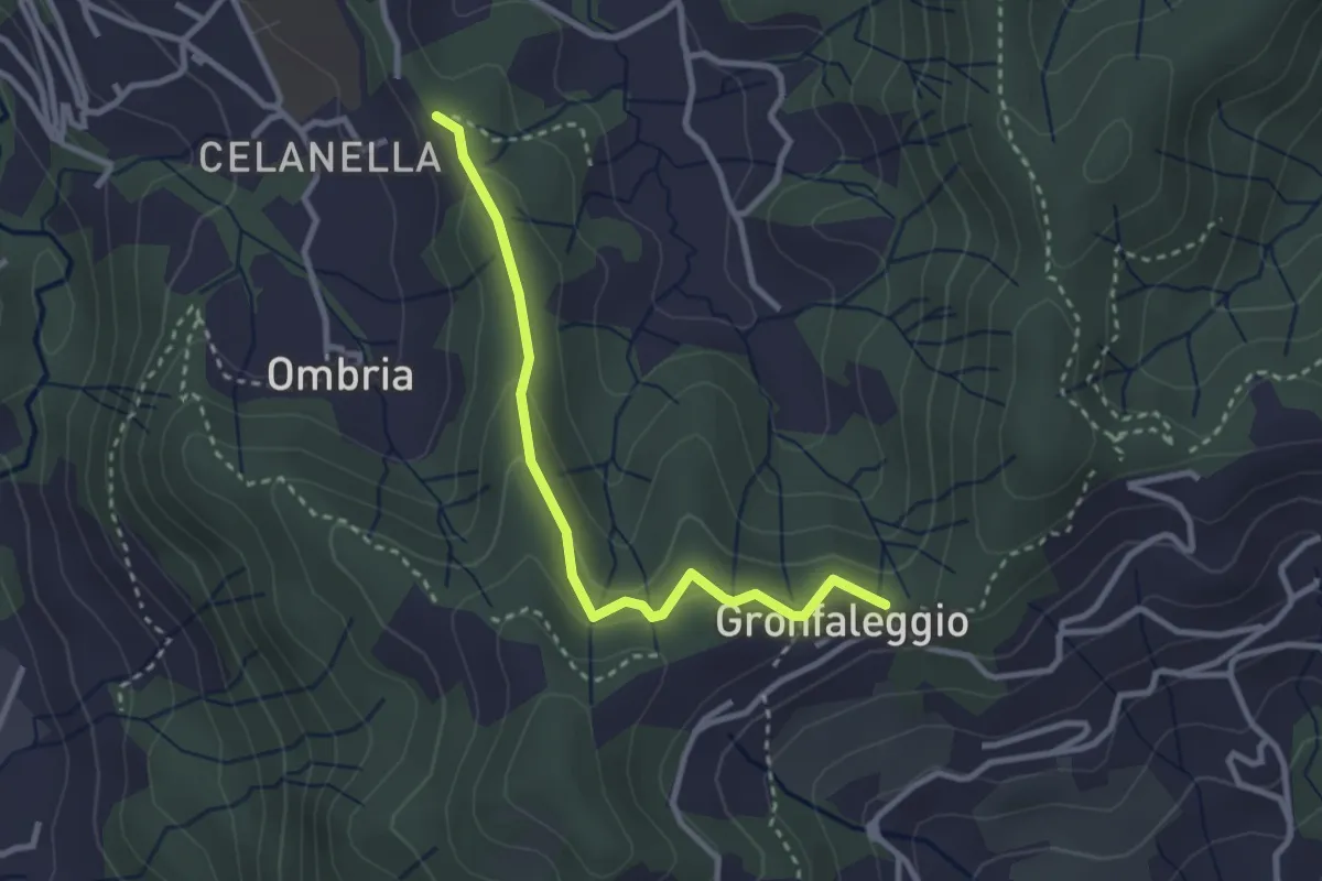
Easy · Trail
Celana – Gronfaleggio
2.9 km · ↑ 126 m · 58 min · 8 km away
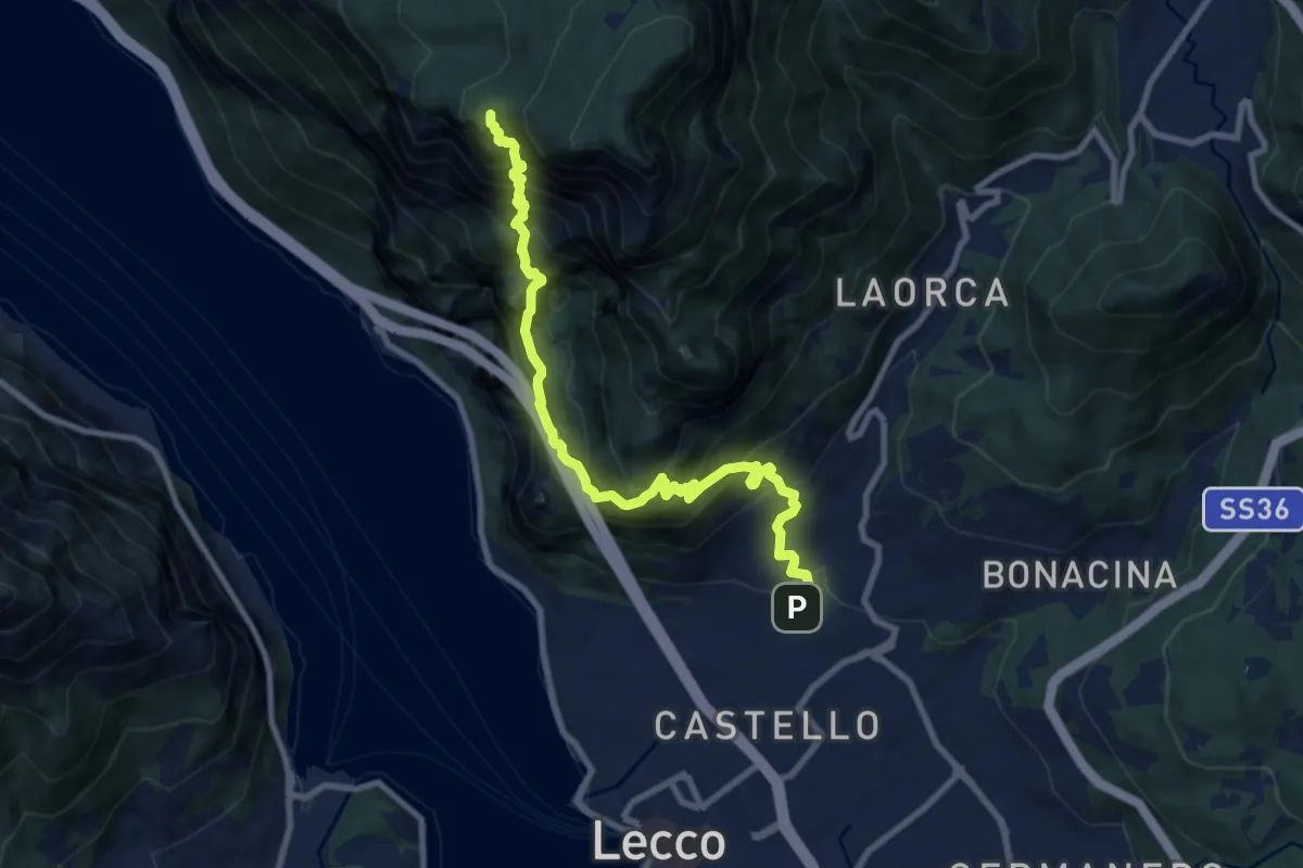
Expert · Summit
Lecco (San Giovanni) – Pian dei Resinelli
10.0 km · ↑ 1587 m · 5 h 47 min · 8 km away
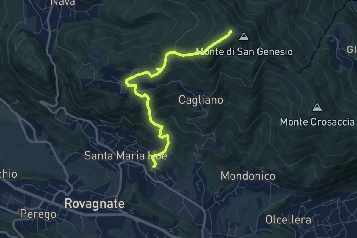
Medium · Summit
Tremonte – Monte di San Genesio
7.4 km · ↑ 475 m · 2 h 47 min · 8 km away
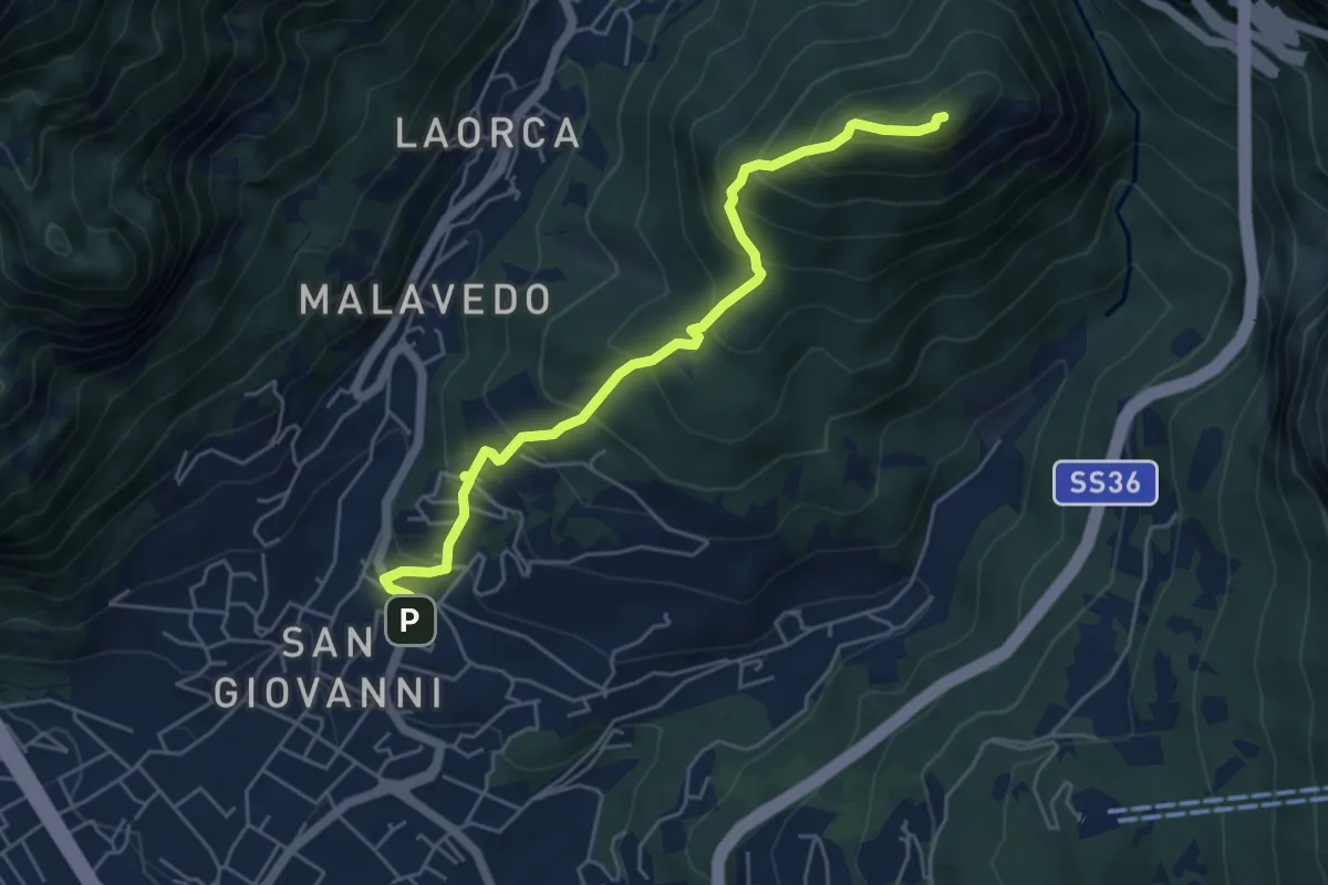
Medium · Summit
Lecco (Varigione) – Monte Melma
5.3 km · ↑ 554 m · 2 h 27 min · 8 km away
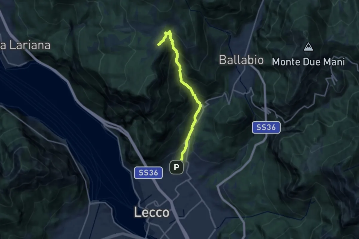
Demanding · Cabin
Sentiero della Val Calolden
10.5 km · ↑ 1010 m · 4 h 40 min · 8 km away
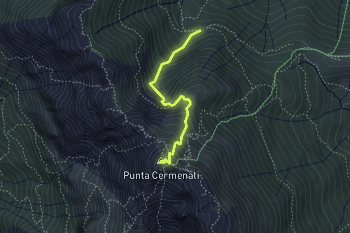
Demanding · Summit
Sorgente Forbesette – Monte Resegone
3.1 km · ↑ 458 m · 1 h 44 min · 8 km away
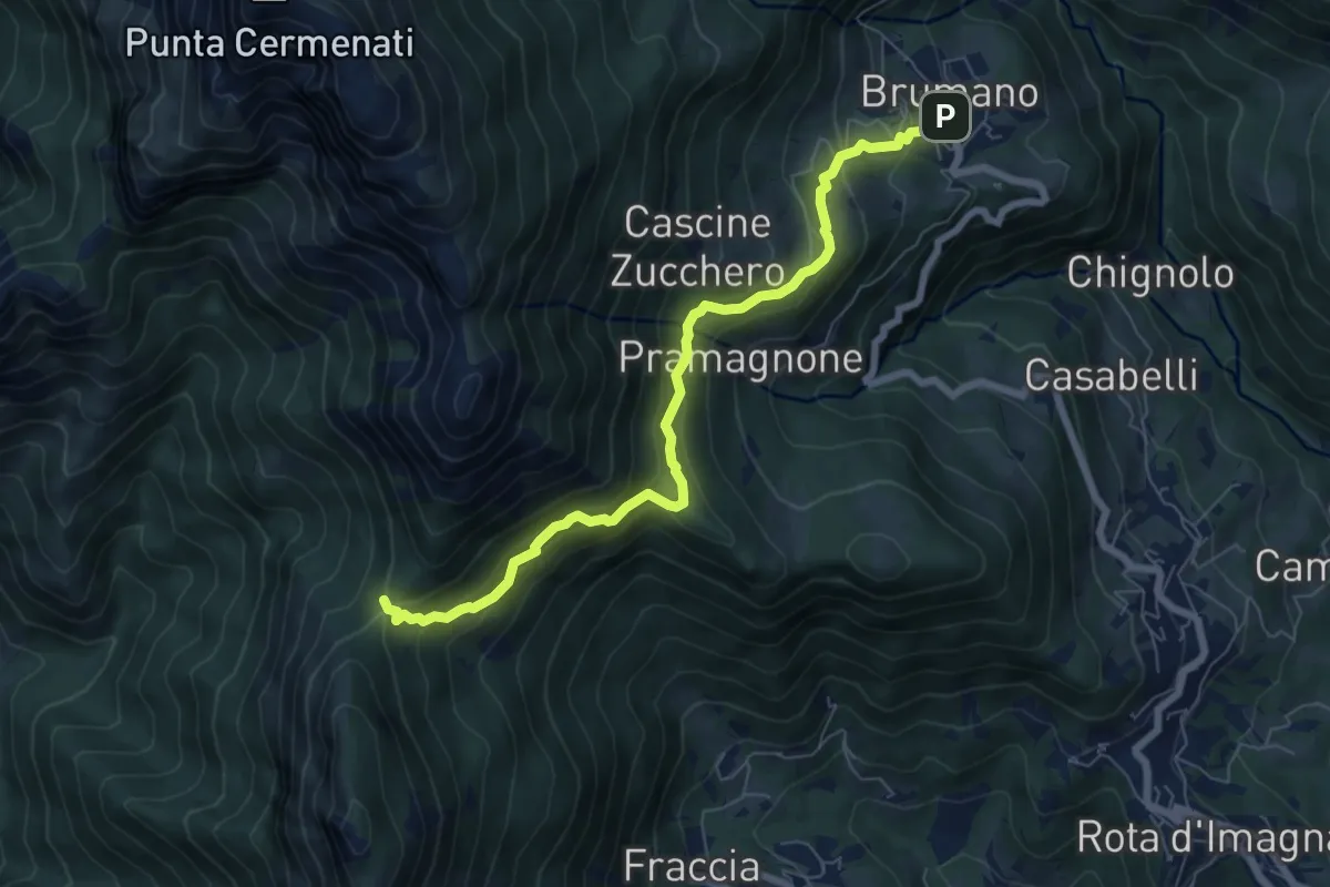
Medium · Trail
Brumano – La Passata
7.1 km · ↑ 520 m · 2 h 49 min · 8 km away
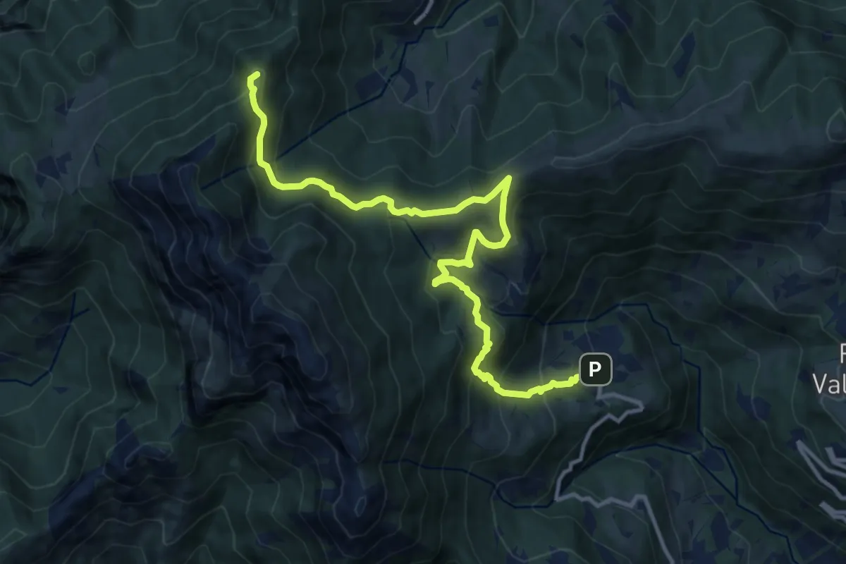
Demanding · Summit
Sentiero dei Laghi Basso - Tappa 1
13.1 km · ↑ 881 m · 5 h · 8 km away
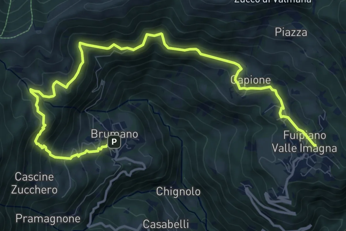
Demanding · Trail
Sentiero dei Laghi Basso- Tappa 2
13.6 km · ↑ 854 m · 5 h 3 min · 8 km away
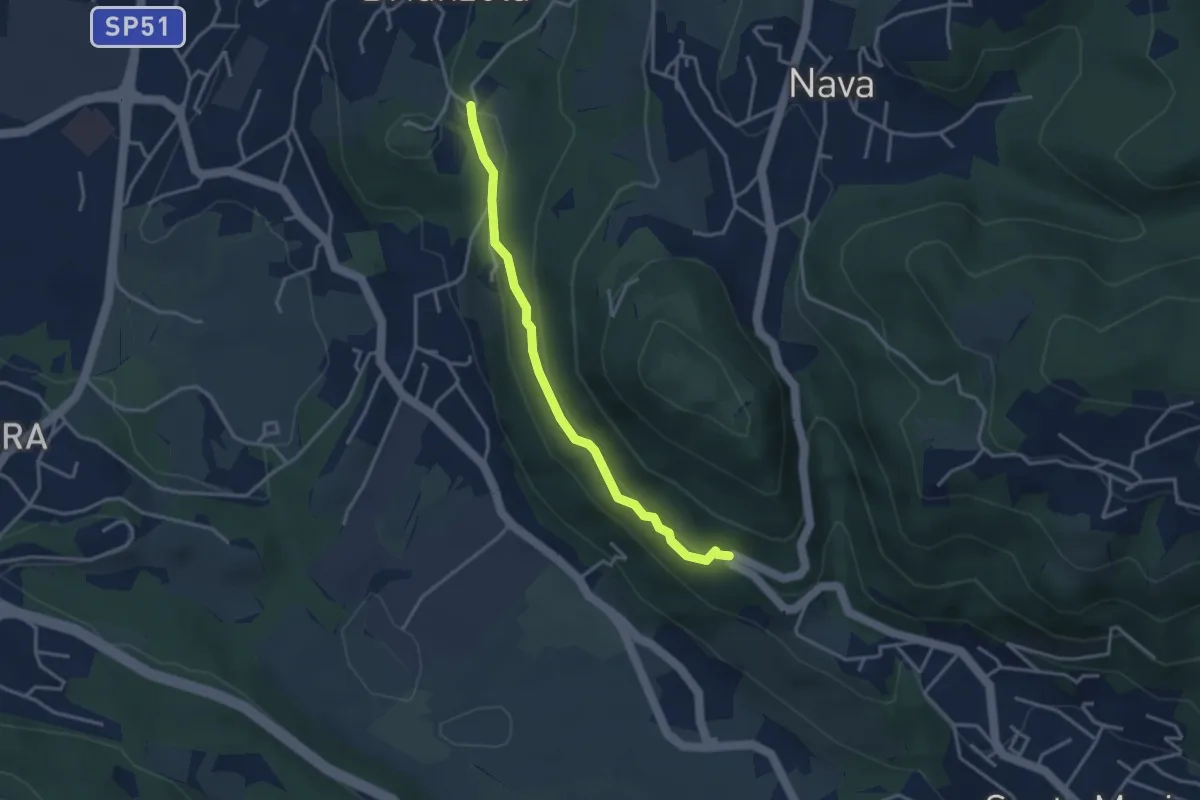
Easy · Trail
Brianzola – Ceppetto
3.3 km · ↑ 108 m · 1 h 1 min · 8 km away
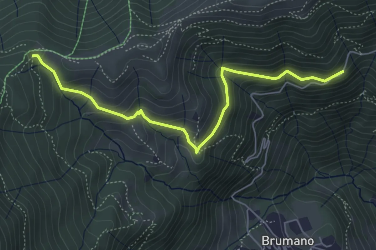
Medium · Trail
Strada Brumano/Fuipiano – Bocca di Palio
5.3 km · ↑ 363 m · 2 h 2 min · 8 km away
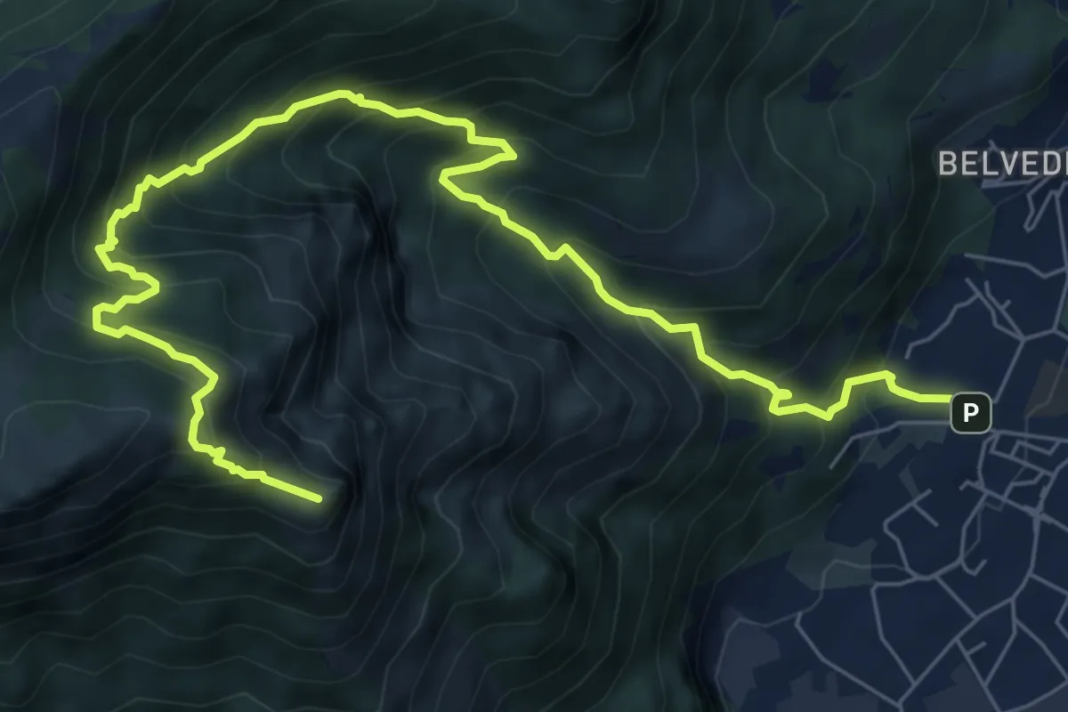
Expert · Summit
Caserta – Corno Birone
9.3 km · ↑ 1043 m · 4 h 28 min · 8 km away
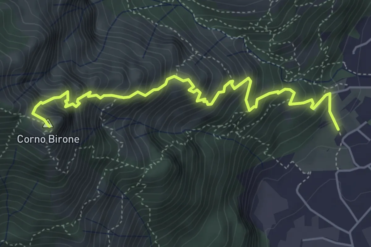
Expert · Summit
Sentiero Dario e William
5.4 km · ↑ 872 m · 3 h 10 min · 8 km away
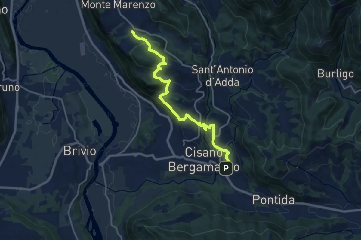
Medium · Trail
Costa (Monte Marenzo) – Cava (Caprino Bergamasco)
11.9 km · ↑ 462 m · 3 h 48 min · 8 km away
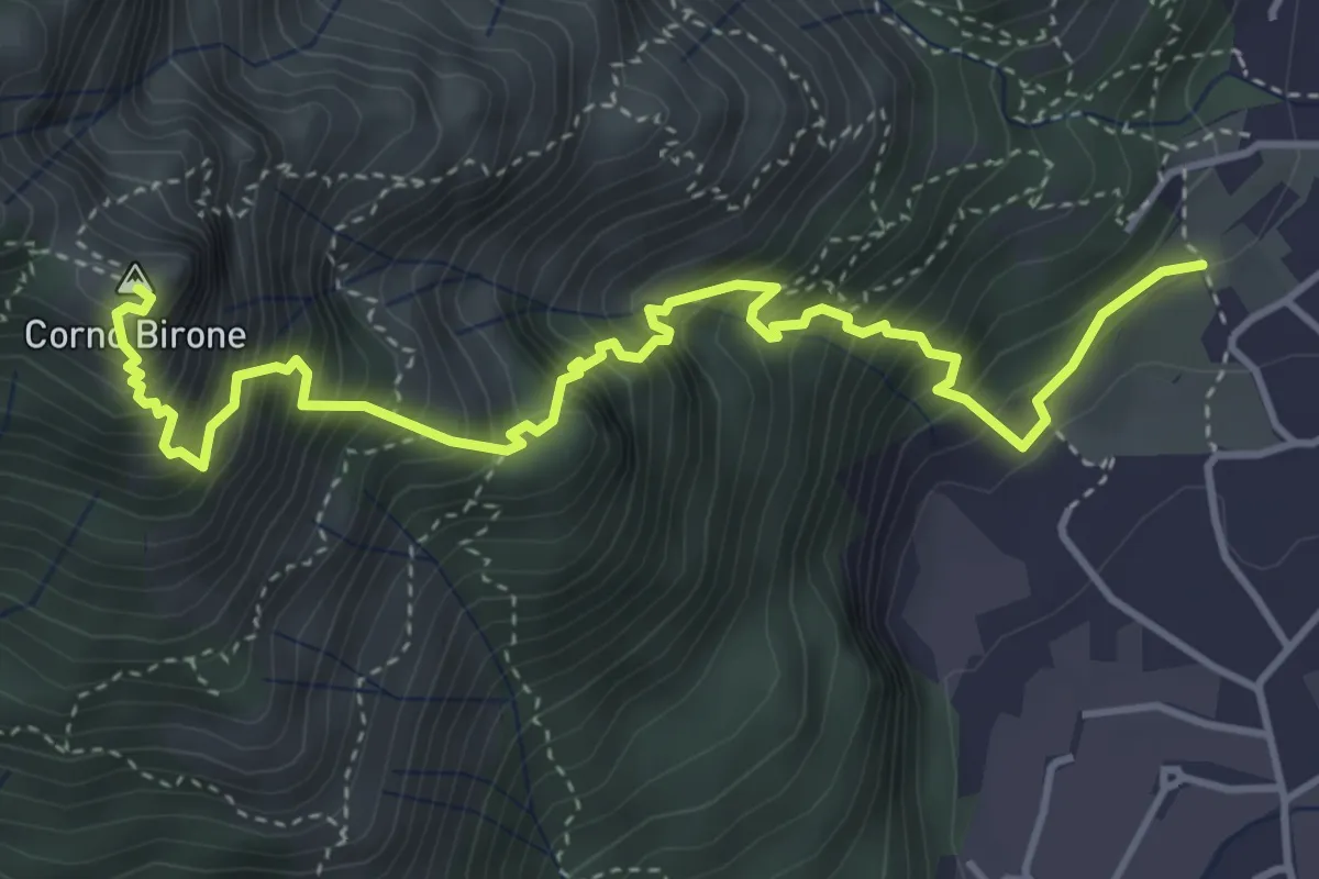
Demanding · Summit
Sentiero Lucio Vassena
5.0 km · ↑ 898 m · 3 h 7 min · 8 km away
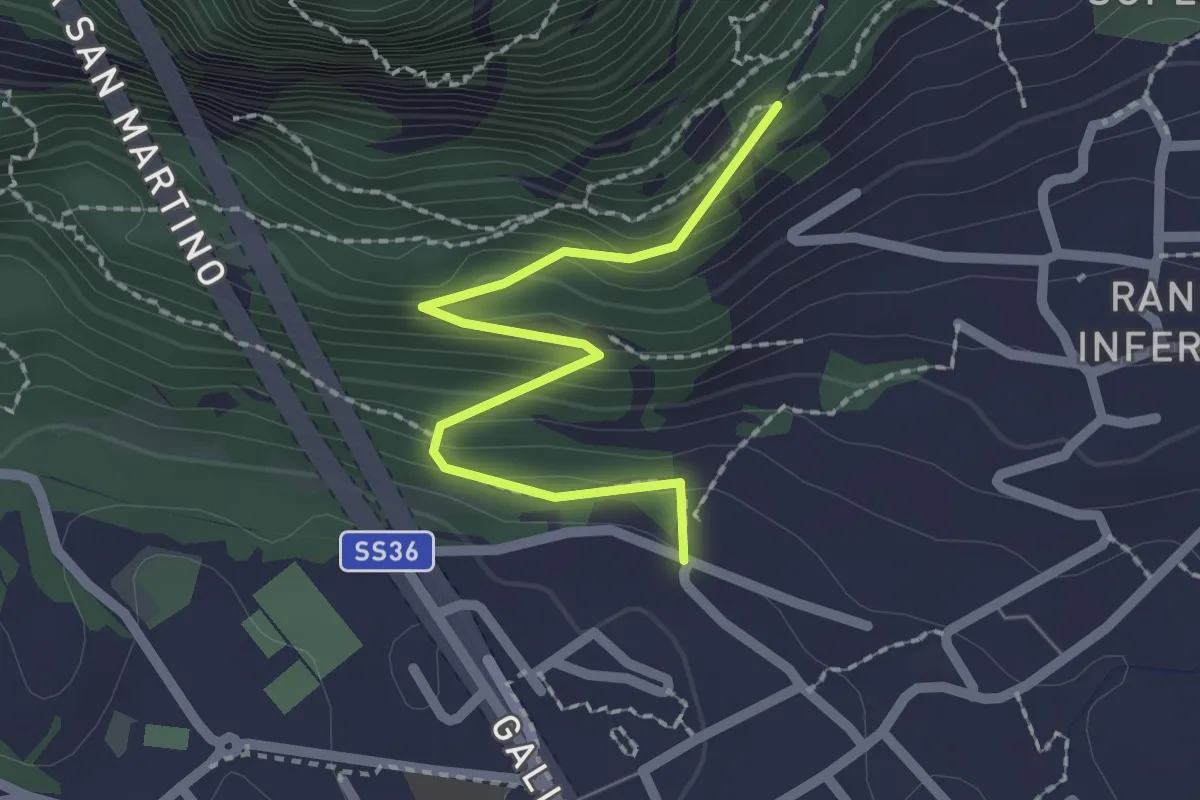
Easy · Trail
Lecco (via Ronco Inferiore) – Incrocio 552_1
2.1 km · ↑ 168 m · 52 min · 8 km away
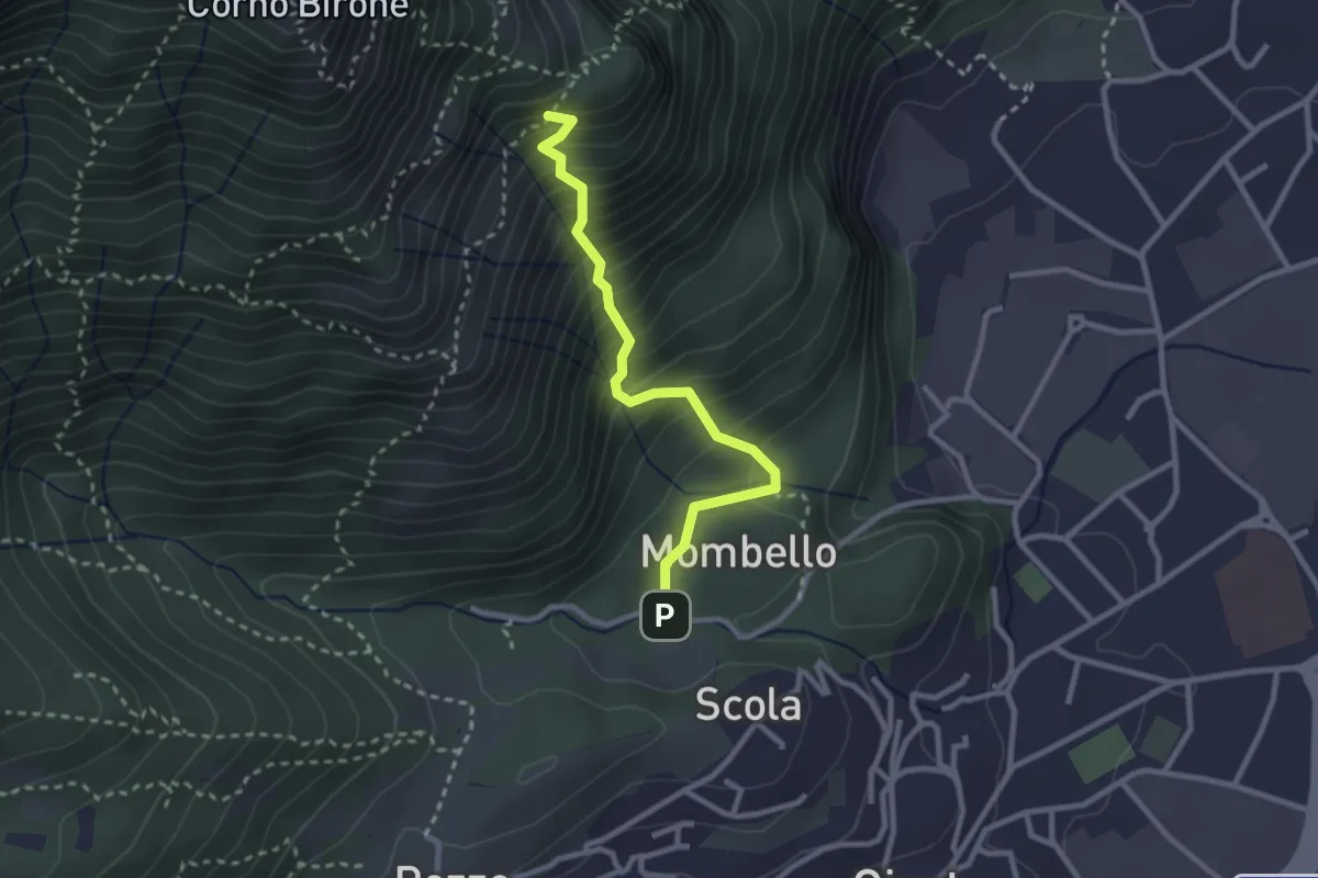
Medium · Trail
Mombello – Innesto 8 SEC
2.7 km · ↑ 375 m · 1 h 27 min · 8 km away
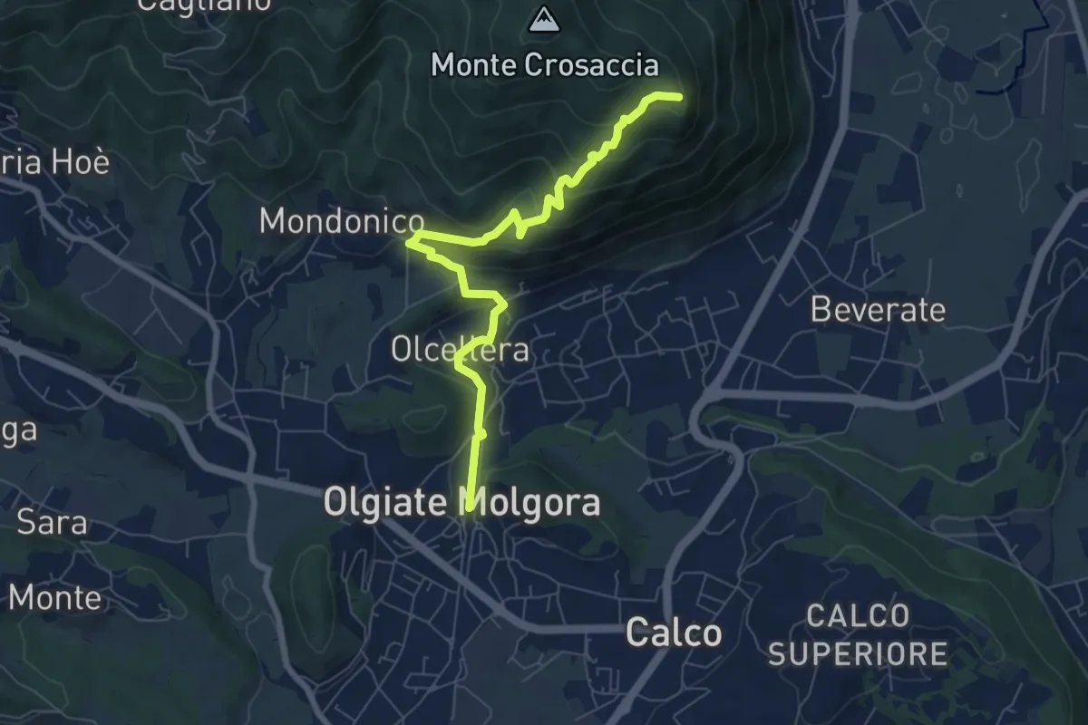
Medium · Trail
Olgiate Molgora (FS) – Crosaccia
7.3 km · ↑ 425 m · 2 h 39 min · 8 km away
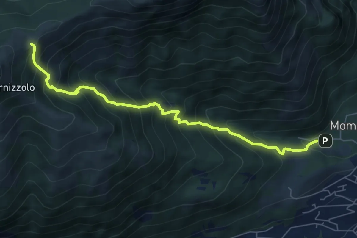
Medium · Cabin
Pozzo – Rifugio SEC Marisa Consigliere
6.2 km · ↑ 778 m · 3 h 9 min · 8 km away
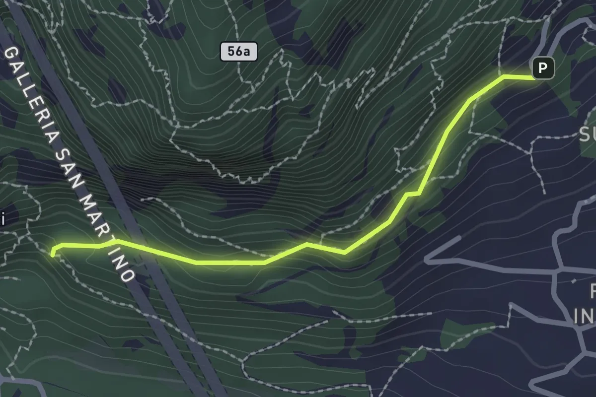
Medium · Trail
Incrocio 552 – Incrocio 553_1
2.1 km · ↑ 156 m · 50 min · 8 km away
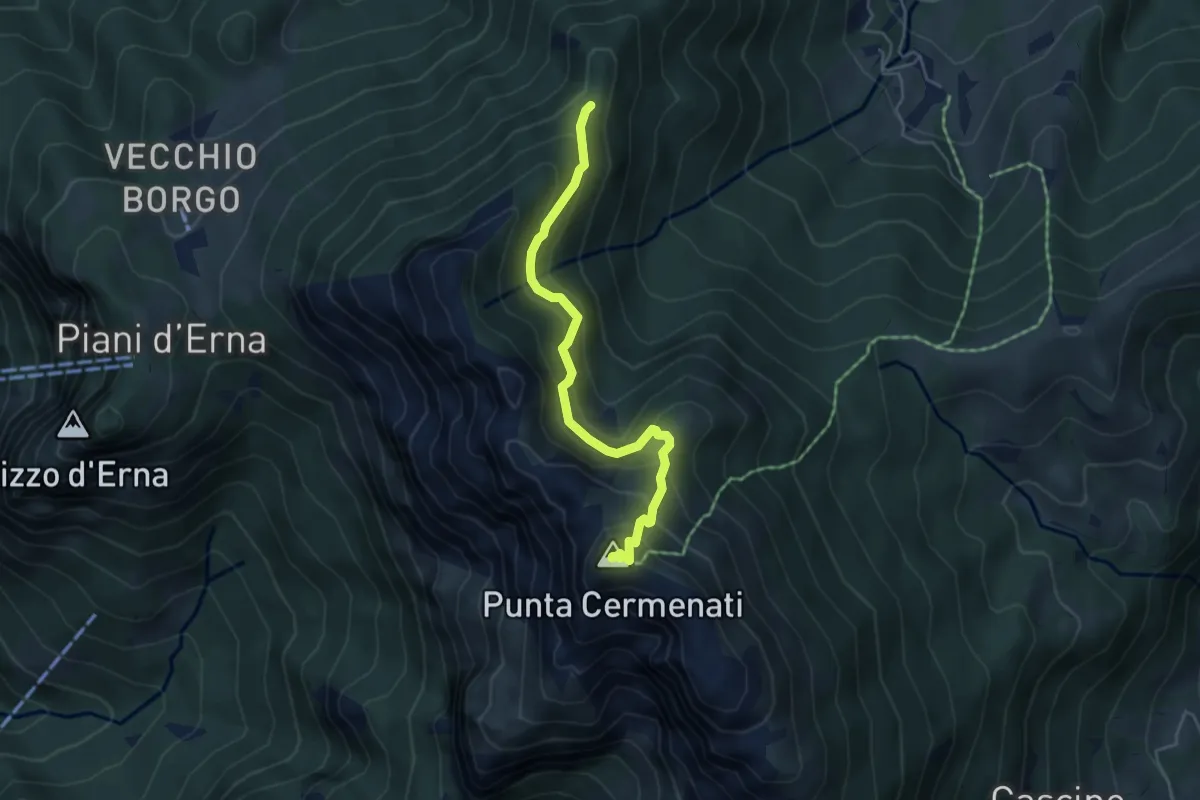
Demanding · Summit
Passo del Giuff – Monte Resegone
4.7 km · ↑ 410 m · 2 h · 8 km away
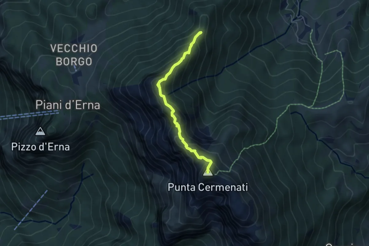
Expert · Summit
Sentiero delle Creste Nord
4.5 km · ↑ 323 m · 1 h 45 min · 8 km away
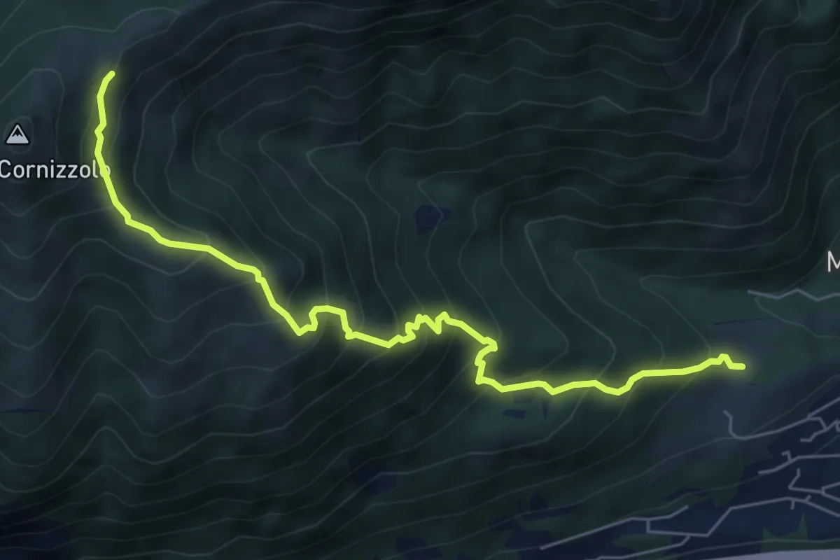
Medium · Cabin
Pozzo – Rifugio SEC Marisa Consigliere
6.7 km · ↑ 747 m · 3 h 12 min · 8 km away
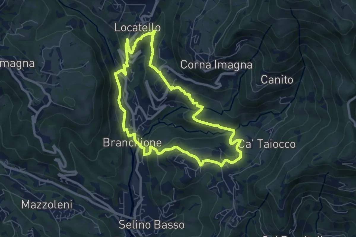
Medium · Trail
Sentiero dei Ponti
6.2 km · ↑ 229 m · 2 h 3 min · 8 km away
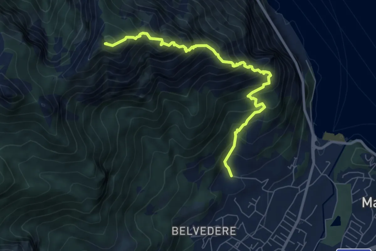
Expert · Summit
Piazza Rossé – Bocchetta di Moregge
7.2 km · ↑ 935 m · 3 h 43 min · 8 km away
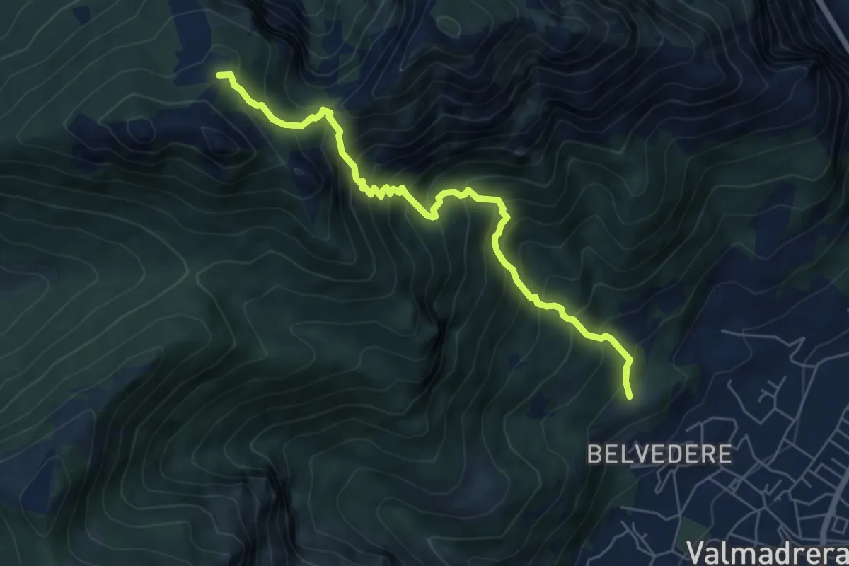
Demanding · Cabin
Cappelletta VARS – Rifugio S.E.V.
6.2 km · ↑ 837 m · 3 h 17 min · 9 km away
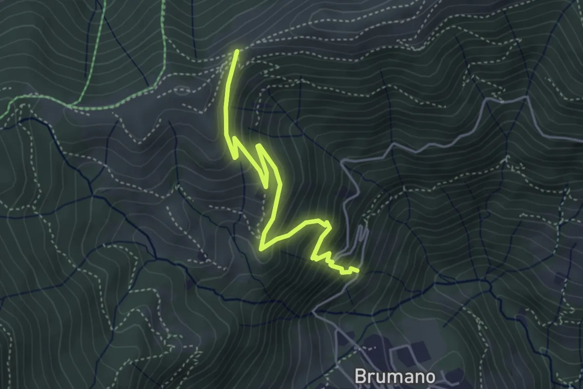
Medium · Trail
Brumano – Passo del Palio
4.3 km · ↑ 401 m · 1 h 54 min · 9 km away
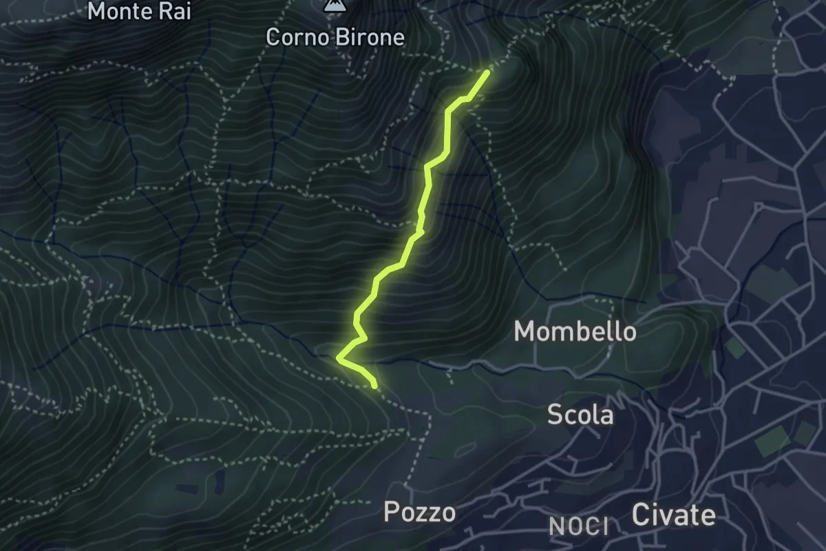
Medium · Trail
Cascina Oro – Ceppo della Forcola
2.6 km · ↑ 345 m · 1 h 22 min · 9 km away
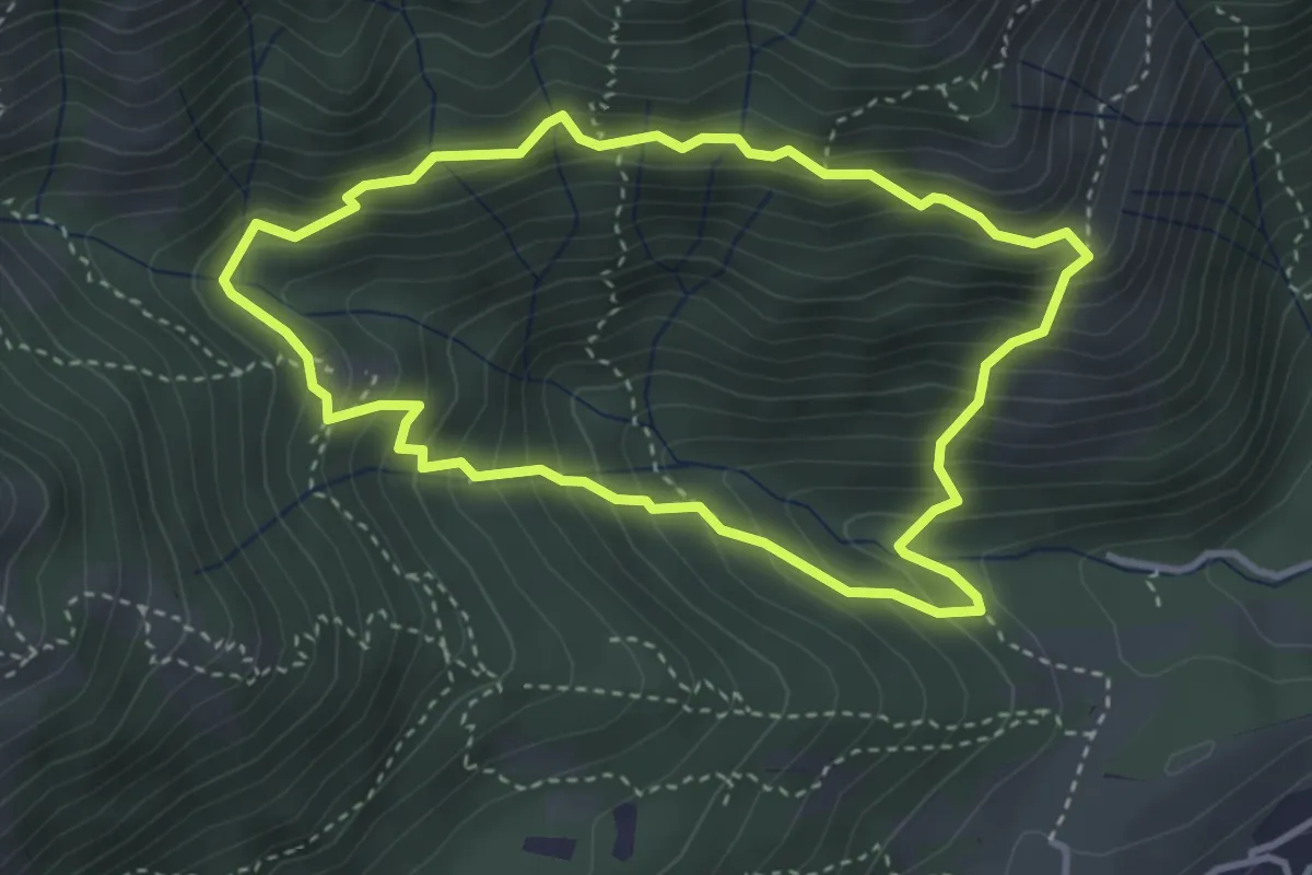
Medium · Summit
Anello dei Tre Casott
3.5 km · ↑ 387 m · 1 h 42 min · 9 km away
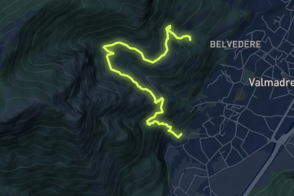
Demanding · Trail
Il percorso dei massi erratici
3.7 km · ↑ 263 m · 1 h 35 min · 9 km away
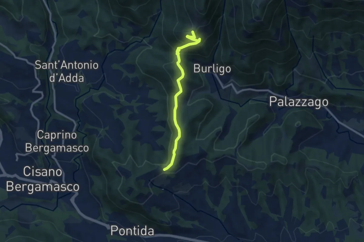
Medium · Summit
Gronfaleggio – Col Pedrino
6.5 km · ↑ 368 m · 2 h 20 min · 9 km away
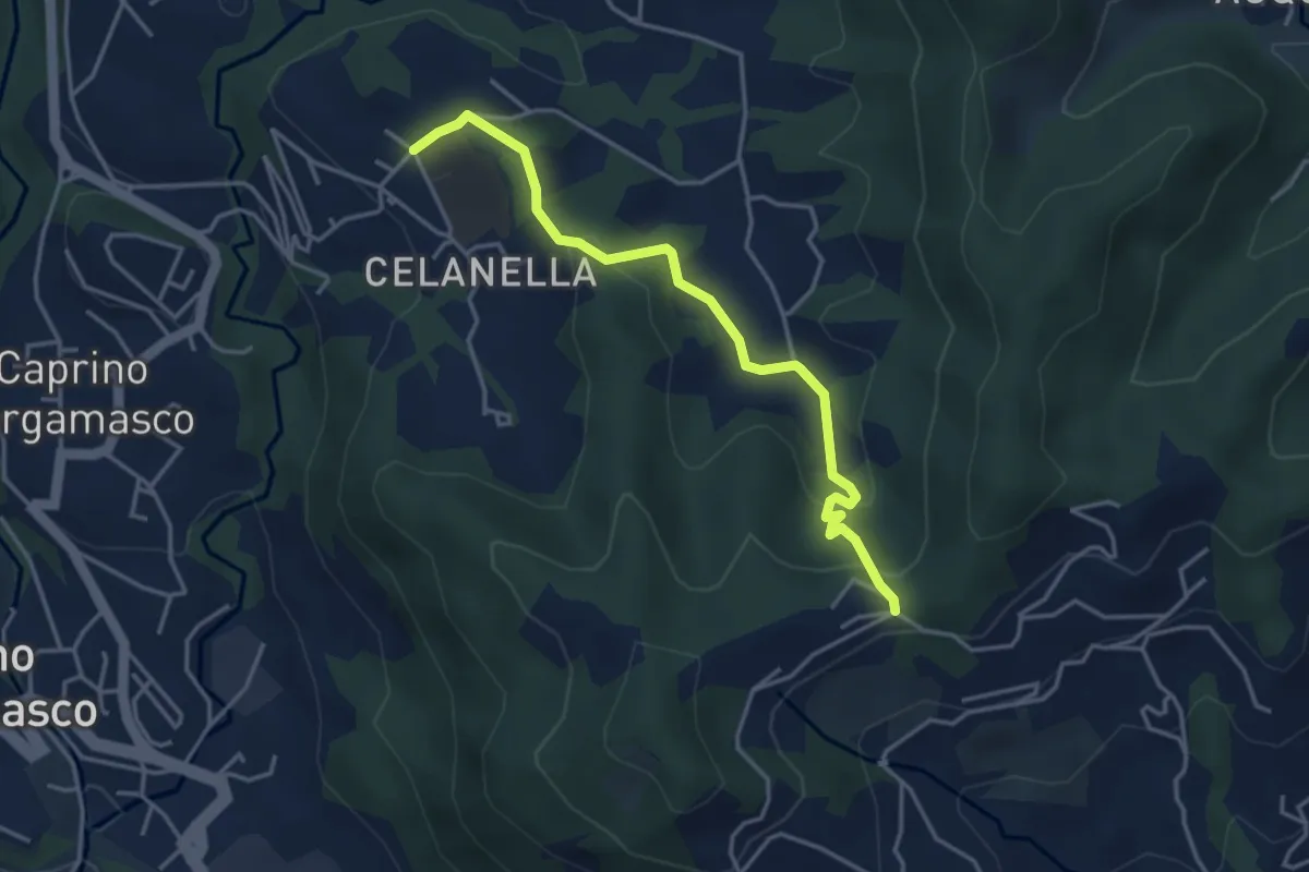
Easy · Trail
Gronfaleggio – Celana
4.0 km · ↑ 148 m · 1 h 16 min · 9 km away
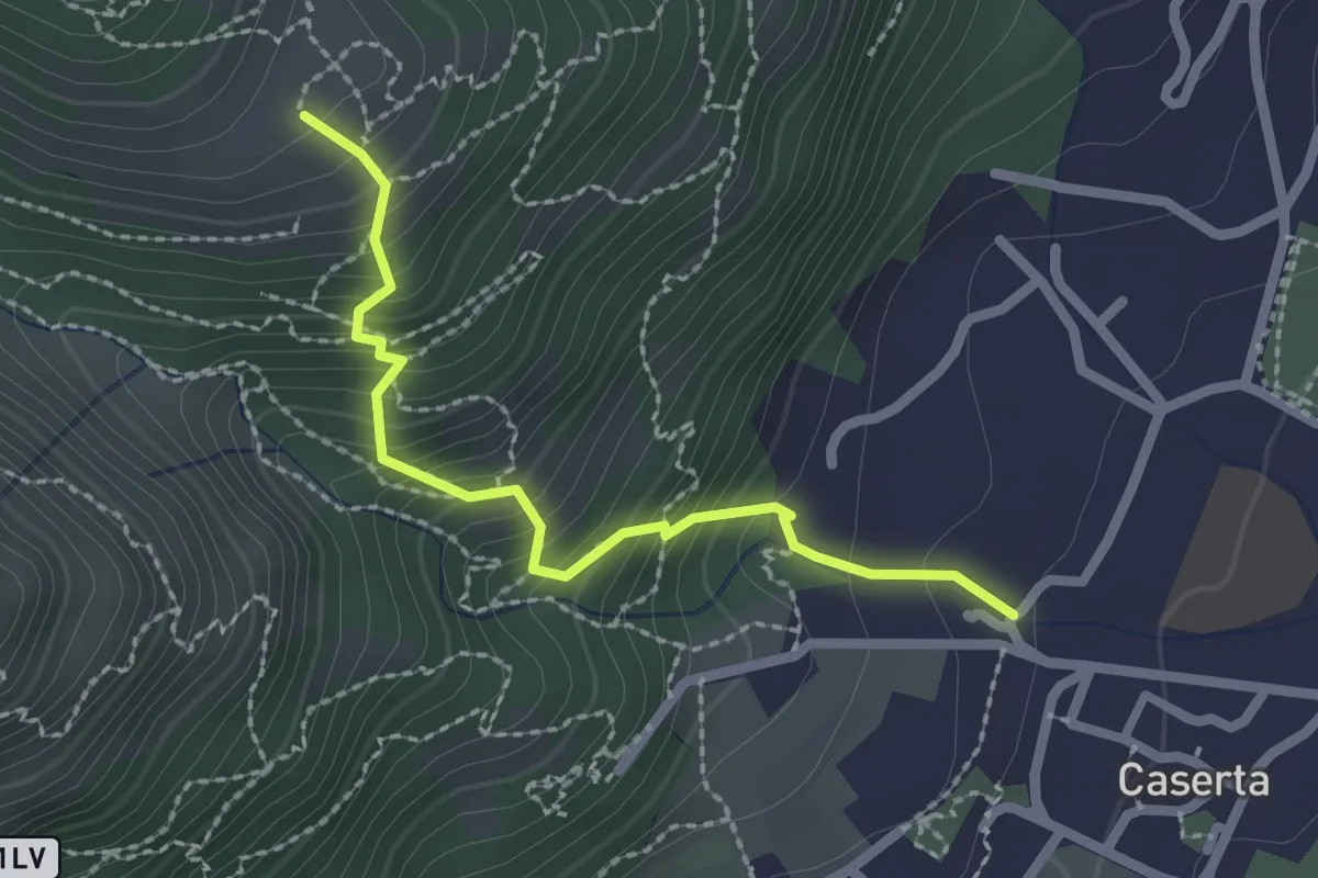
Demanding · Trail
Caserta – San Tomaso
2.2 km · ↑ 312 m · 1 h 12 min · 9 km away
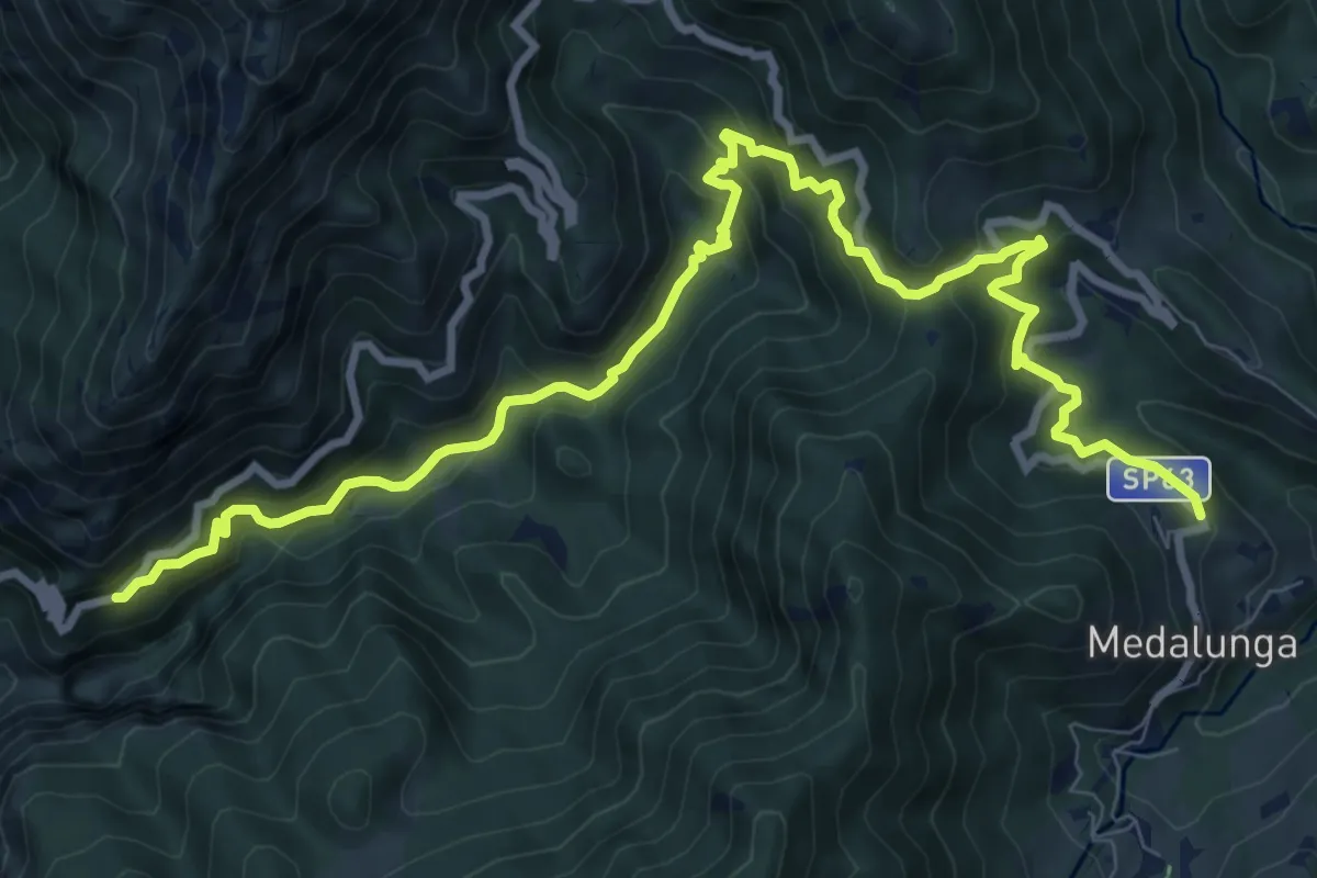
Demanding · Trail
Antica Strada Comunale di Morterone
11.9 km · ↑ 805 m · 4 h 33 min · 9 km away
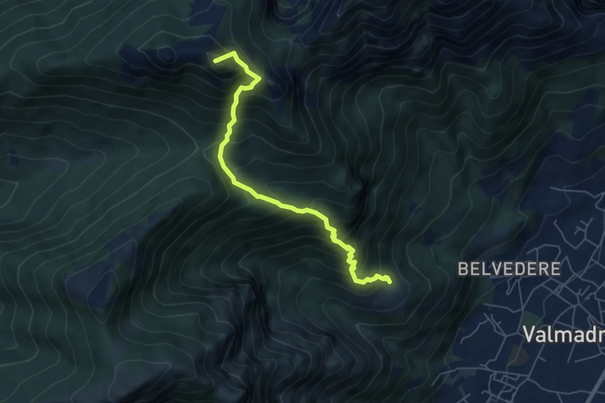
Medium · Summit
San Tomaso – Rifugio S.E.V.
5.6 km · ↑ 734 m · 2 h 55 min · 9 km away
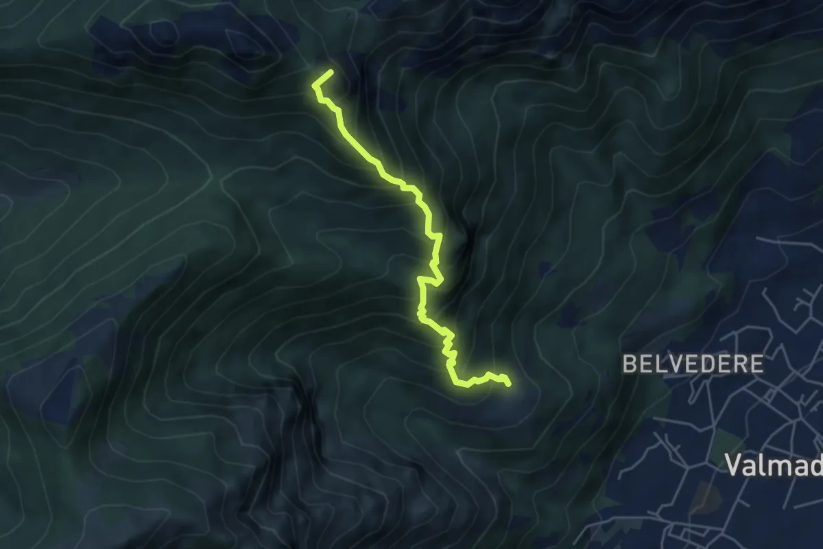
Expert · Summit
San Tomaso – Bocchetta di Luera
4.5 km · ↑ 629 m · 2 h 26 min · 9 km away
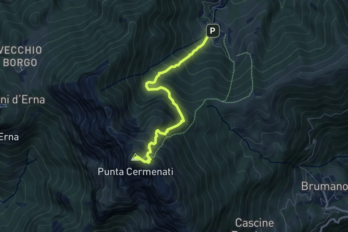
Medium · Summit
Morterone – Monte Resegone
6.5 km · ↑ 759 m · 3 h 11 min · 9 km away
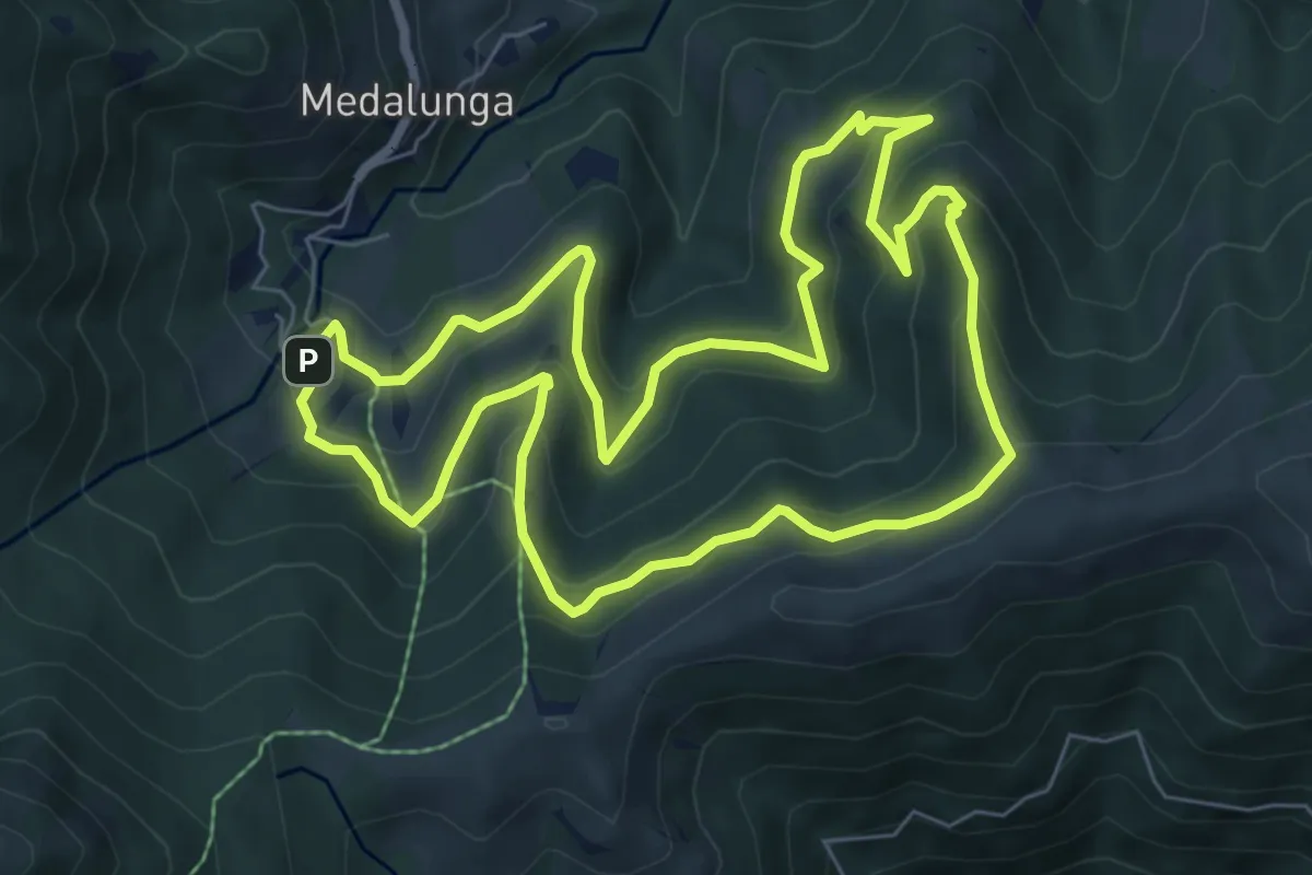
Medium · Trail
Sentiero dei Grandi Alberi - Anello
7.4 km · ↑ 485 m · 2 h 54 min · 9 km away
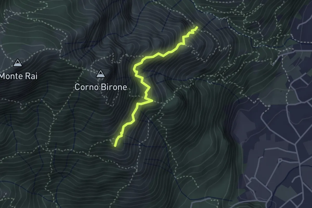
Demanding · Summit
Sentiero del Luisin
3.1 km · ↑ 489 m · 1 h 48 min · 9 km away
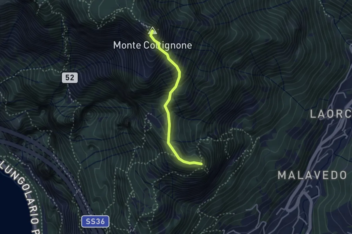
Expert · Summit
Sentiero GER
2.6 km · ↑ 532 m · 1 h 45 min · 9 km away
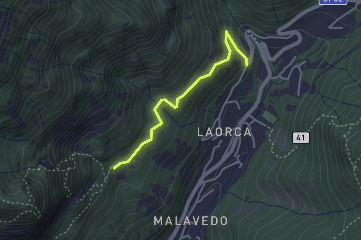
Easy · Trail
Incrocio 551 – Incrocio 556
2.7 km · ↑ 193 m · 1 h 3 min · 9 km away
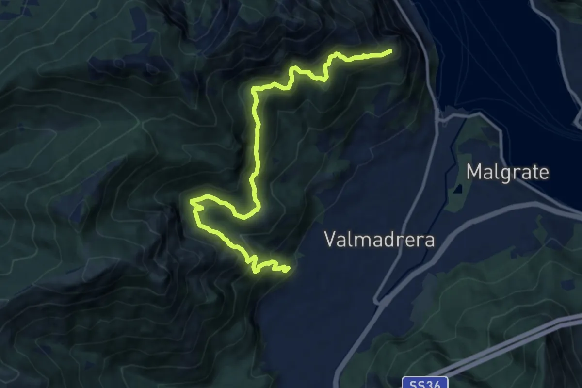
Demanding · Trail
Santuario della Madonna di San Martino – Sasso di Preguda
11.9 km · ↑ 1039 m · 5 h 3 min · 9 km away