Trails near Calolziocorte
330 hikes starting within 15 km, nearest first.
Nearest first, page 4 of 7
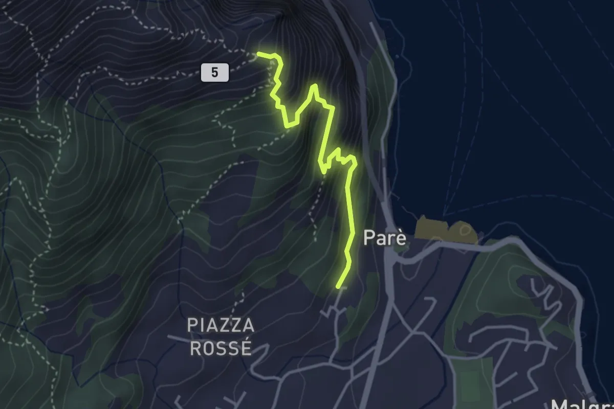
Demanding · Trail
Ul Sentee del Lach
3.2 km · ↑ 418 m · 1 h 40 min · 9 km away
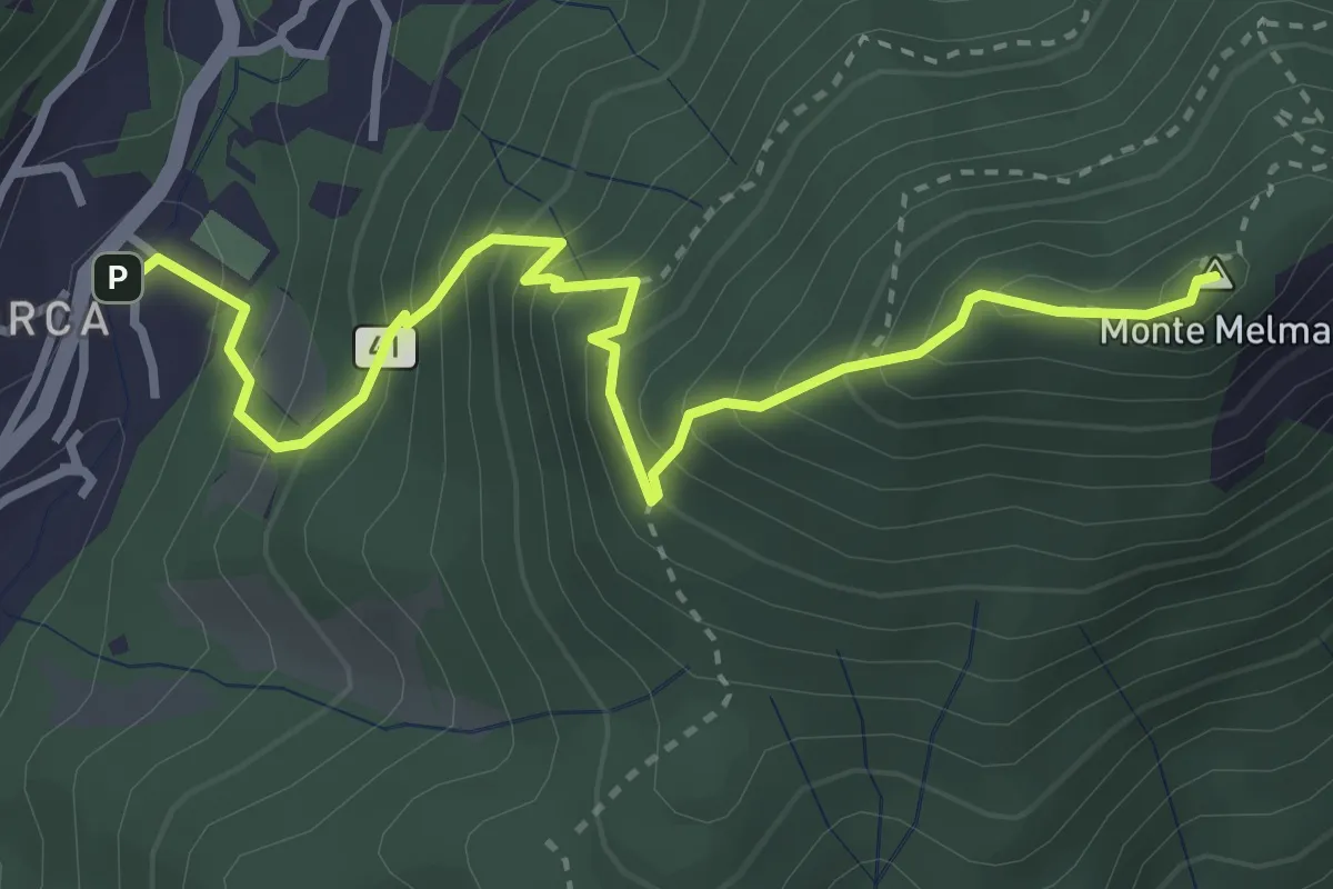
Medium · Summit
Laorca – Monte Melma
3.8 km · ↑ 481 m · 1 h 57 min · 9 km away
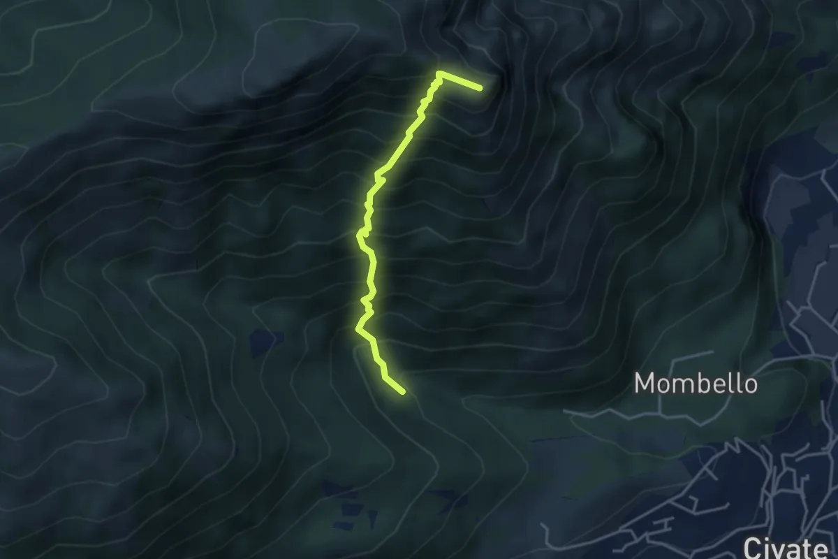
Medium · Summit
Innesto 10 SEC – Innesto 1 OSA
3.2 km · ↑ 652 m · 2 h 10 min · 9 km away
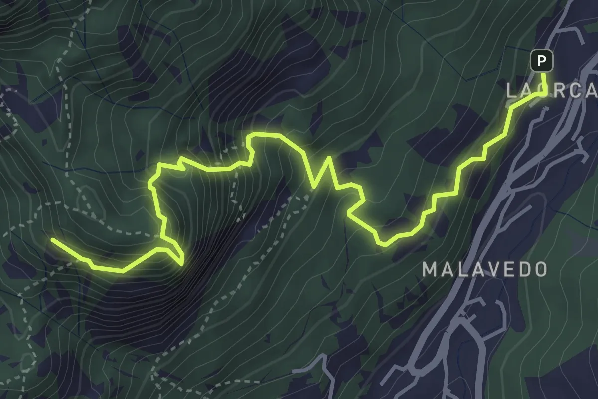
Demanding · Summit
Rifugio Piazza – Corno Medale
4.9 km · ↑ 860 m · 3 h 2 min · 9 km away
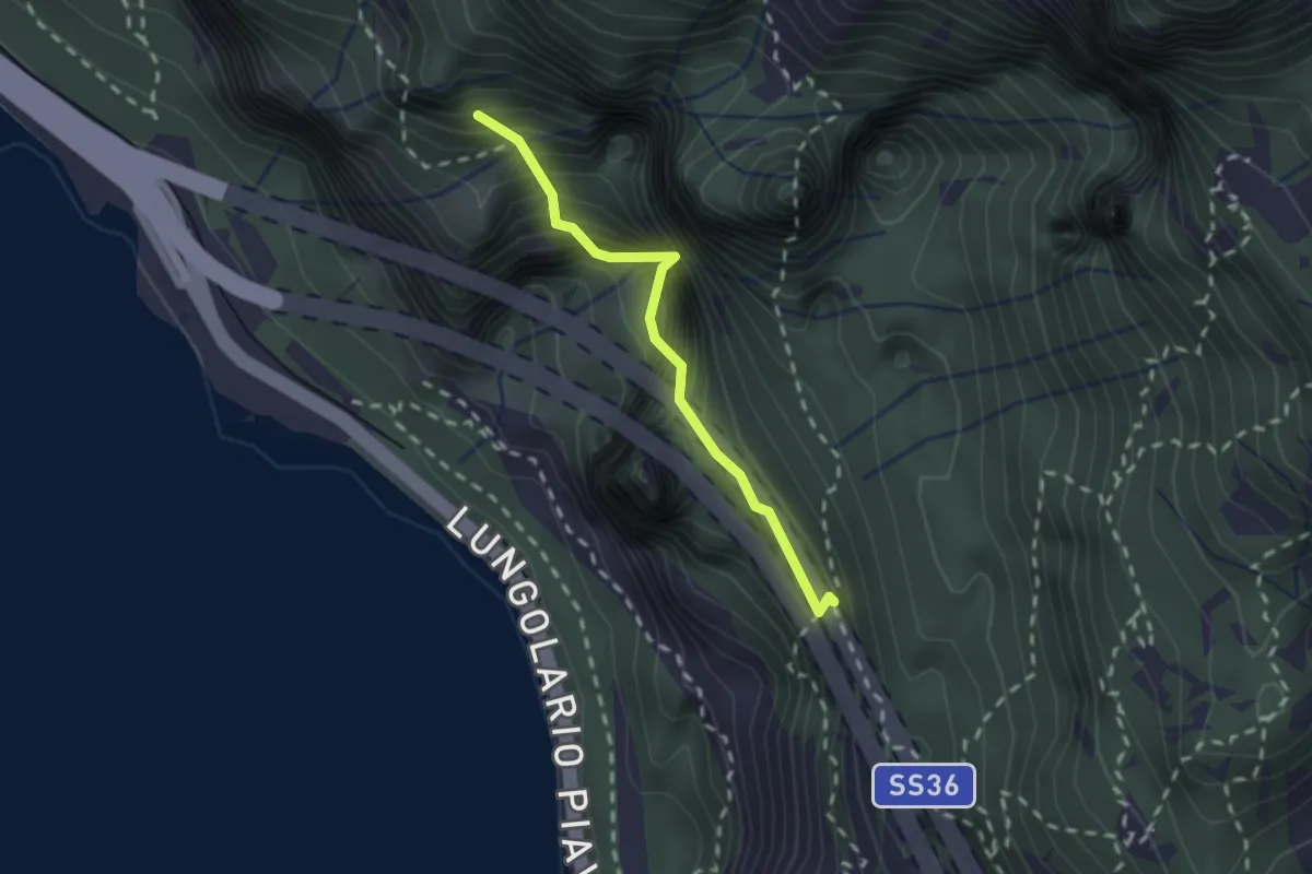
Demanding · Summit
Sentiero Costantino Fiocchi
1.8 km · ↑ 629 m · 1 h 48 min · 9 km away
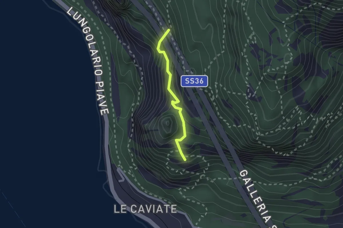
Expert · Summit
Sentiero Piero Pensa
1.6 km · ↑ 311 m · 1 h 2 min · 9 km away
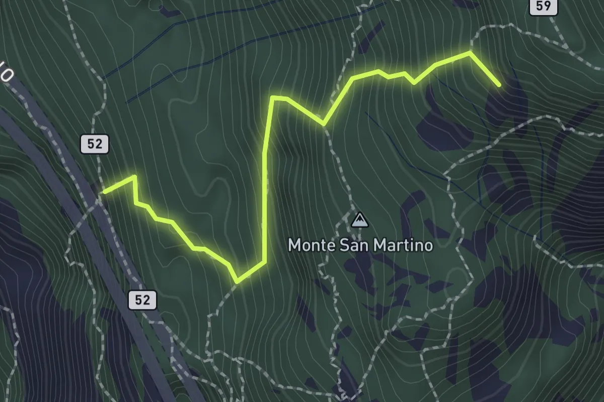
Demanding · Summit
Rifugio Riccardo Piazza – Corno Medale
2.1 km · ↑ 415 m · 1 h 24 min · 9 km away
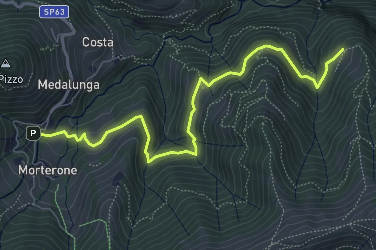
Medium · Trail
Morterone – Selvano
7.0 km · ↑ 331 m · 2 h 23 min · 9 km away
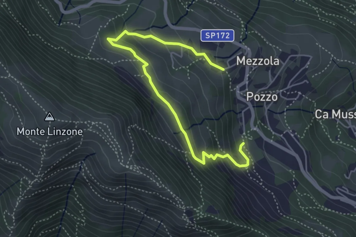
Medium · Trail
Sentiero dei Pascoli
5.2 km · ↑ 310 m · 1 h 54 min · 9 km away
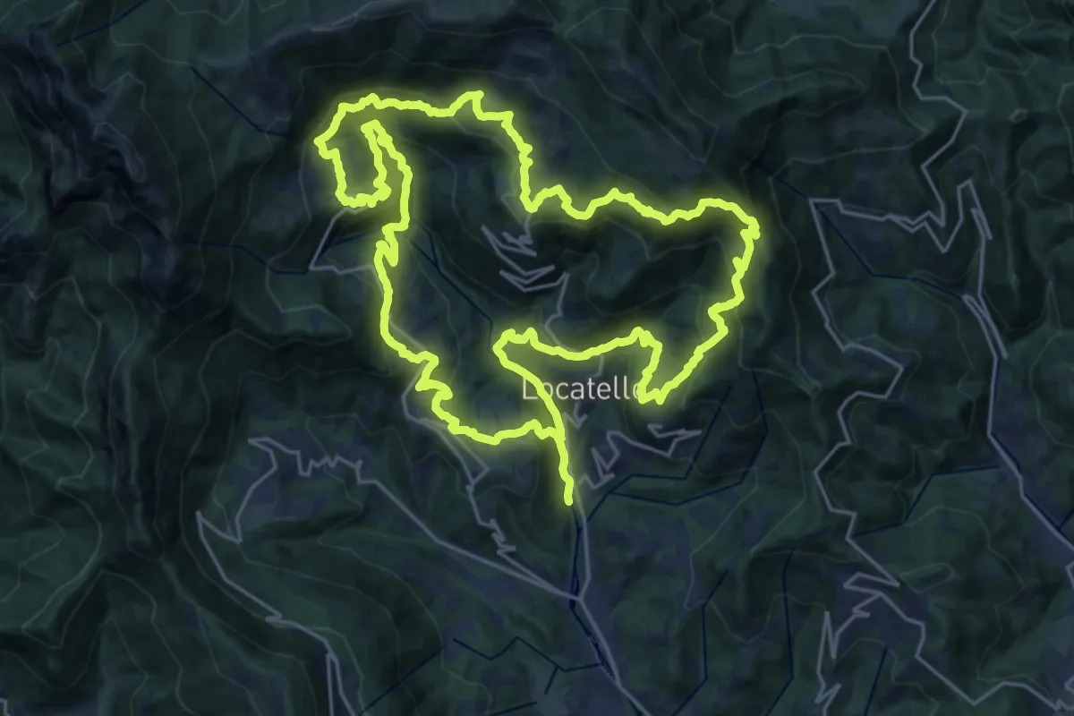
Demanding · Trail
Sentiero dei Giganti
25.1 km · ↑ 1336 m · 9 h 10 min · 9 km away
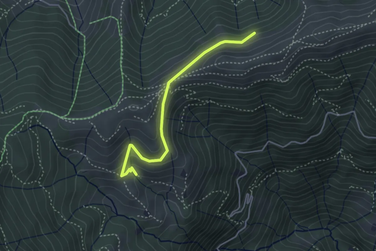
Medium · Cabin
Sentiero dei Grandi Alberi - Variante per il Foo del Büs
3.5 km · ↑ 179 m · 1 h 13 min · 9 km away
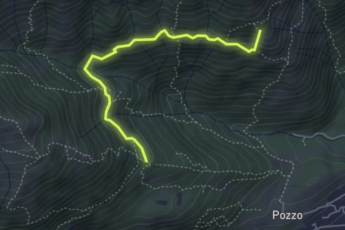
Medium · Summit
Tre Casott – Dosso della Guardia
4.1 km · ↑ 347 m · 1 h 43 min · 9 km away
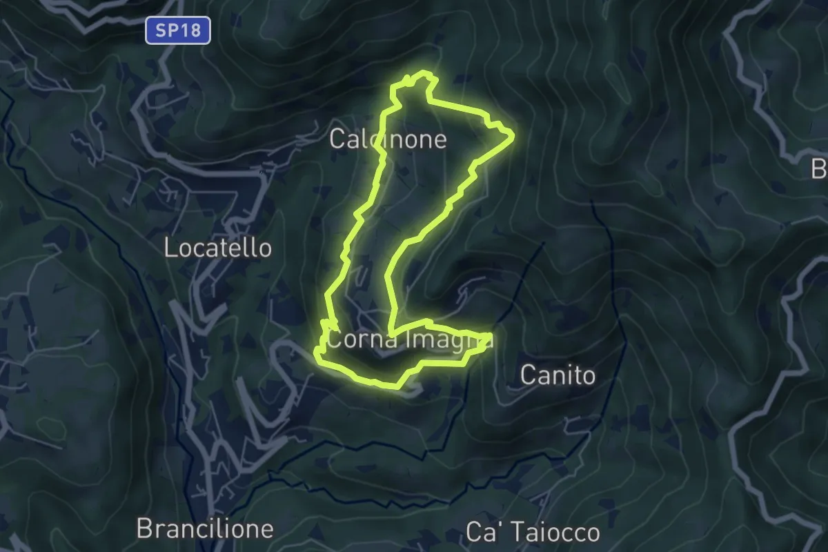
Easy · Trail
Sentiero del Castagno
5.2 km · ↑ 318 m · 2 h · 9 km away
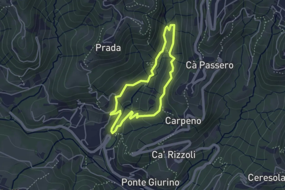
Easy · Trail
Valle del Brunone Percorso C1
3.0 km · ↑ 111 m · 59 min · 9 km away
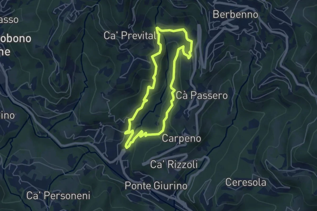
Easy · Trail
Valle del Brunone Percorso C
4.4 km · ↑ 243 m · 1 h 38 min · 9 km away
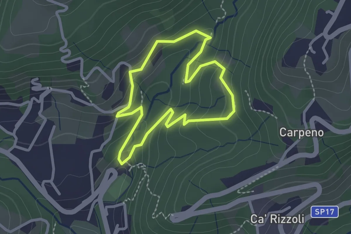
Easy · Trail
Valle del Brunone Percorso B
2.0 km · ↑ 92 m · 41 min · 9 km away
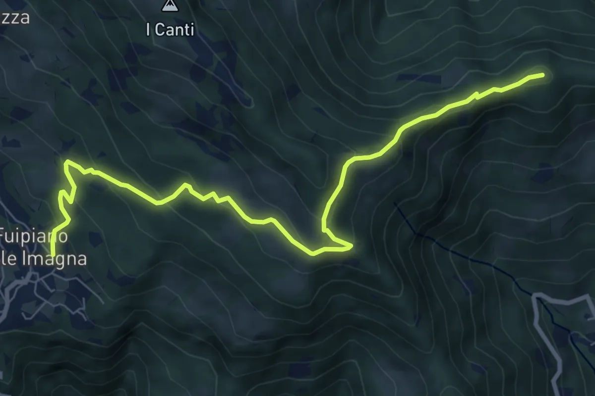
Medium · Summit
Sentiero dei Laghi Basso - Tappa 3
8.6 km · ↑ 491 m · 3 h 6 min · 10 km away
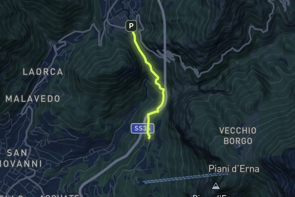
Medium · Trail
Sentiero Passo del Lupo
4.7 km · ↑ 225 m · 1 h 35 min · 10 km away
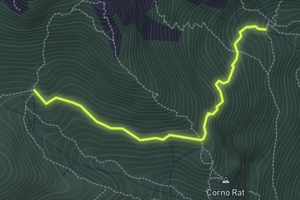
Medium · Trail
Fontanino di Sambrosera – Acqua del Fo'
3.1 km · ↑ 292 m · 1 h 22 min · 10 km away
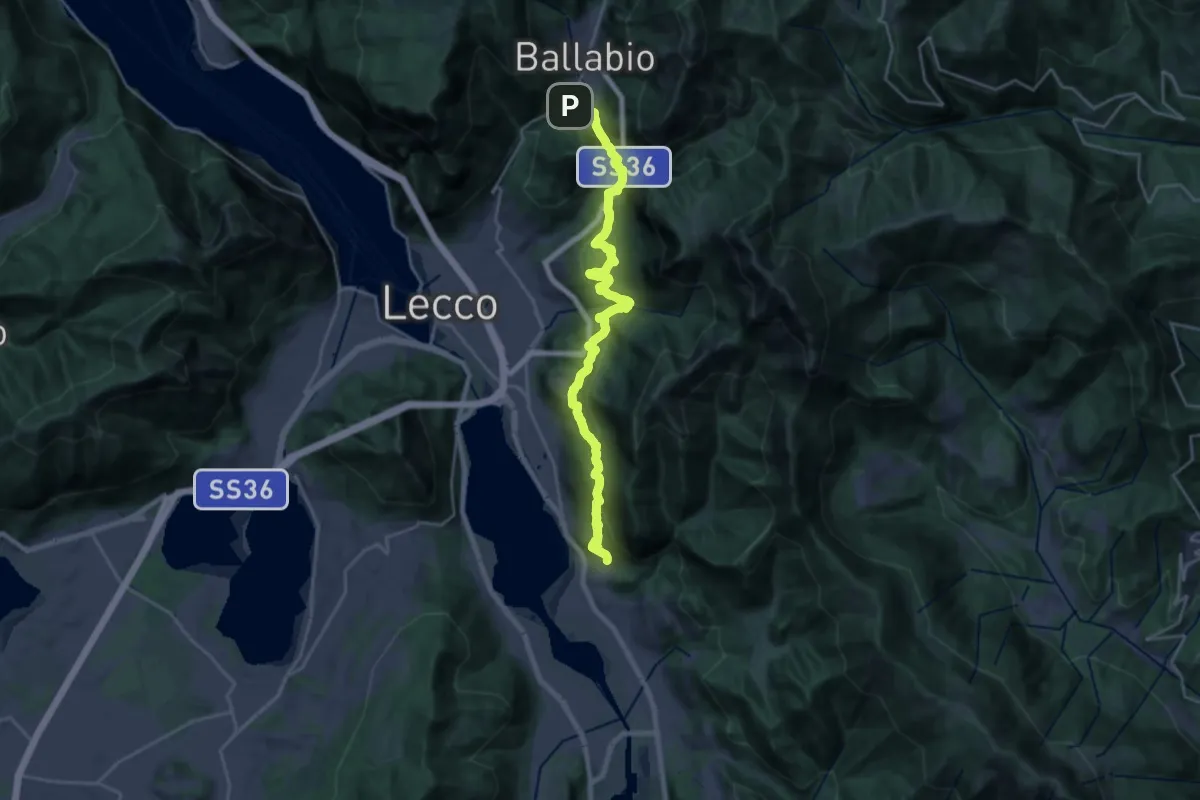
Medium · Trail
Sentiero Rotary
12.6 km · ↑ 429 m · 4 h 15 min · 10 km away
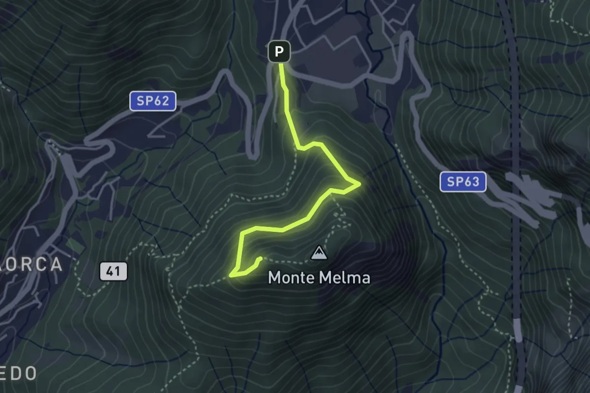
Medium · Summit
Sentiero Casati
3.3 km · ↑ 305 m · 1 h 27 min · 10 km away
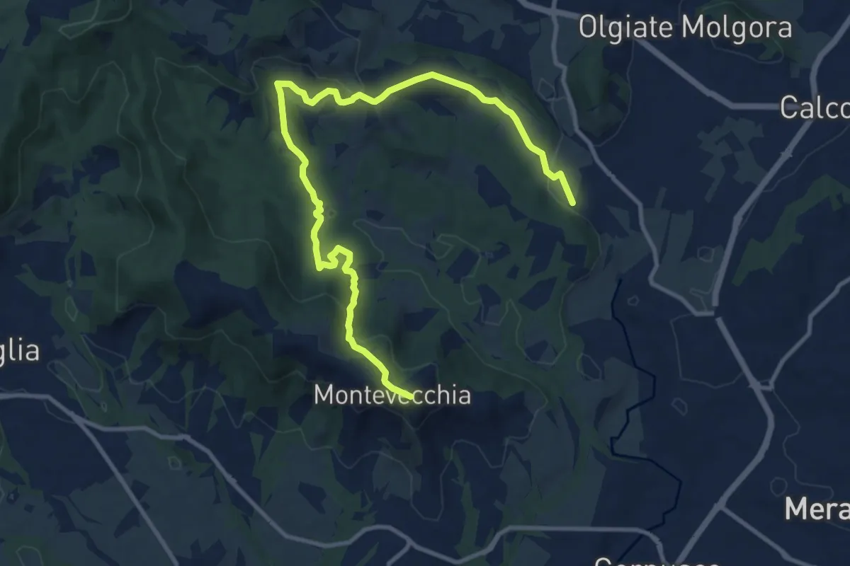
Medium · Summit
Cernusco Lombardone (FS) – Beolco
12.4 km · ↑ 430 m · 3 h 52 min · 10 km away
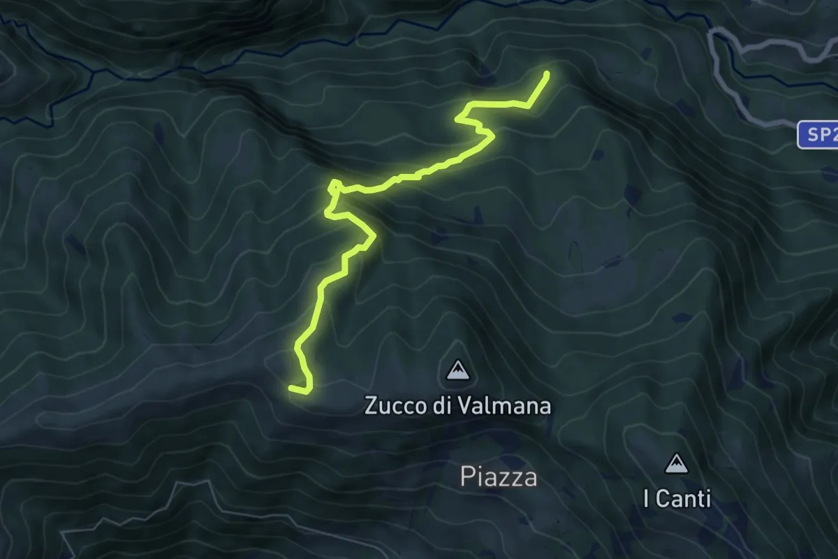
Expert · Trail
Incrocio 569B (Ponte Lavina) – Alpe Costa del Palio
6.6 km · ↑ 579 m · 2 h 49 min · 10 km away
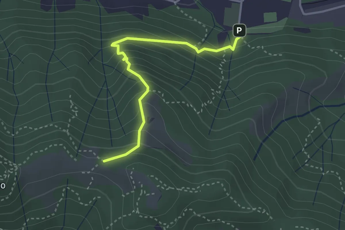
Medium · Trail
Pontida – Il Canto (incrocio 891)
3.1 km · ↑ 308 m · 1 h 23 min · 10 km away
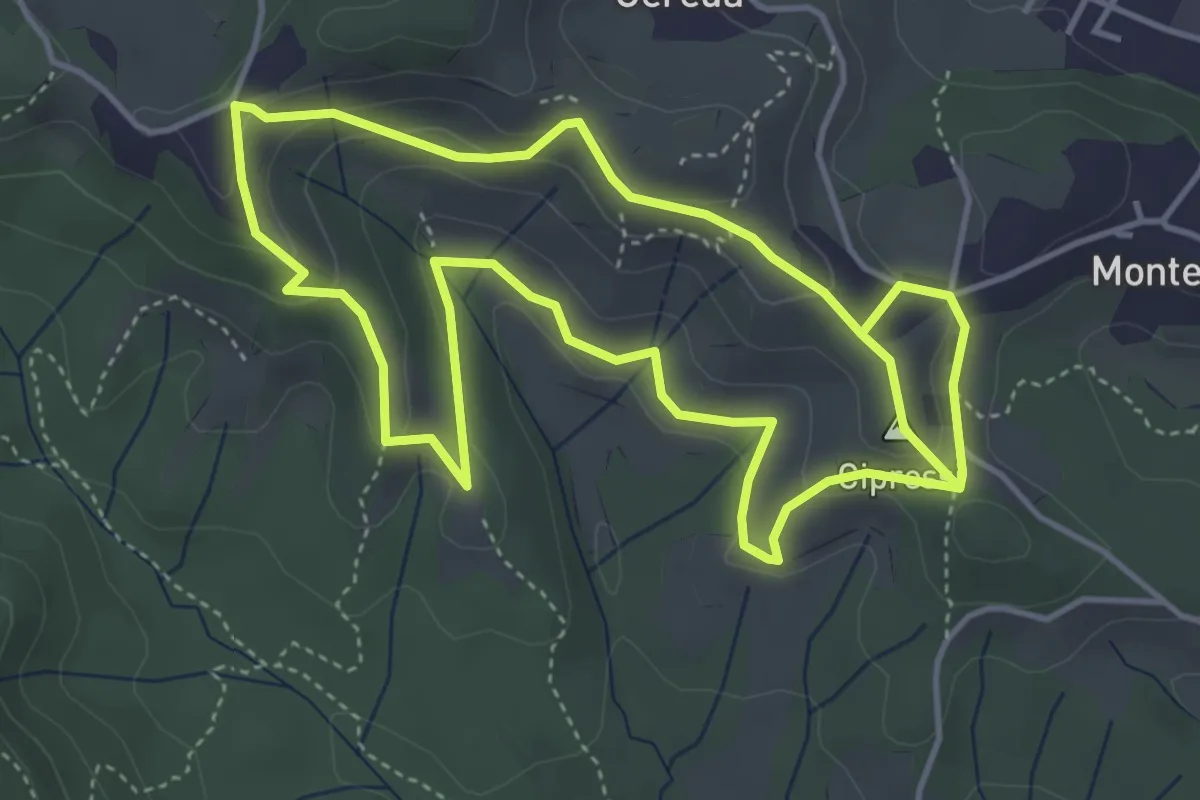
Easy · Summit
Percorso dei prati magri
4.5 km · ↑ 154 m · 1 h 28 min · 10 km away
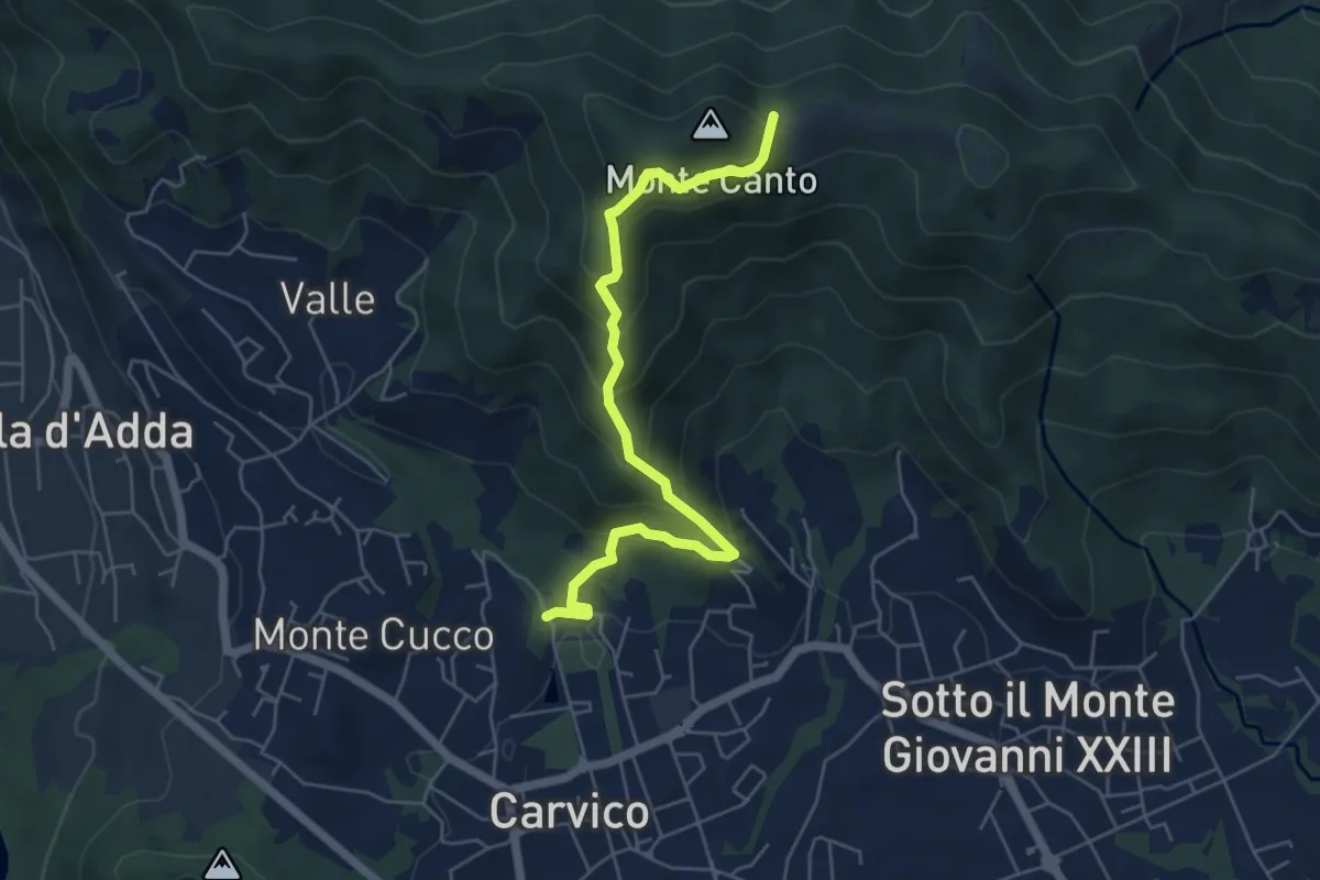
Medium · Trail
Carvico – Il Canto (incrocio 891)
5.7 km · ↑ 438 m · 2 h 18 min · 10 km away
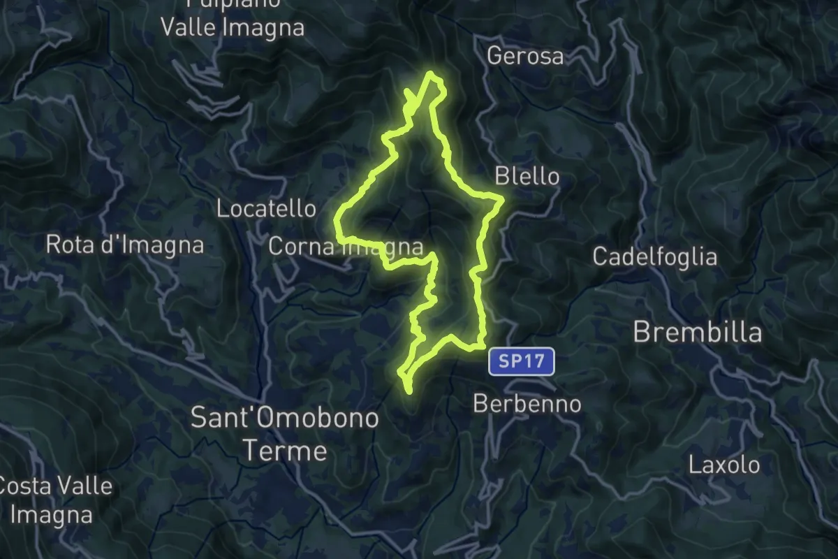
Medium · Summit
Sentiero della Cultura Casearia - tra le valli Imagna e Brembilla
11.9 km · ↑ 792 m · 4 h 41 min · 10 km away
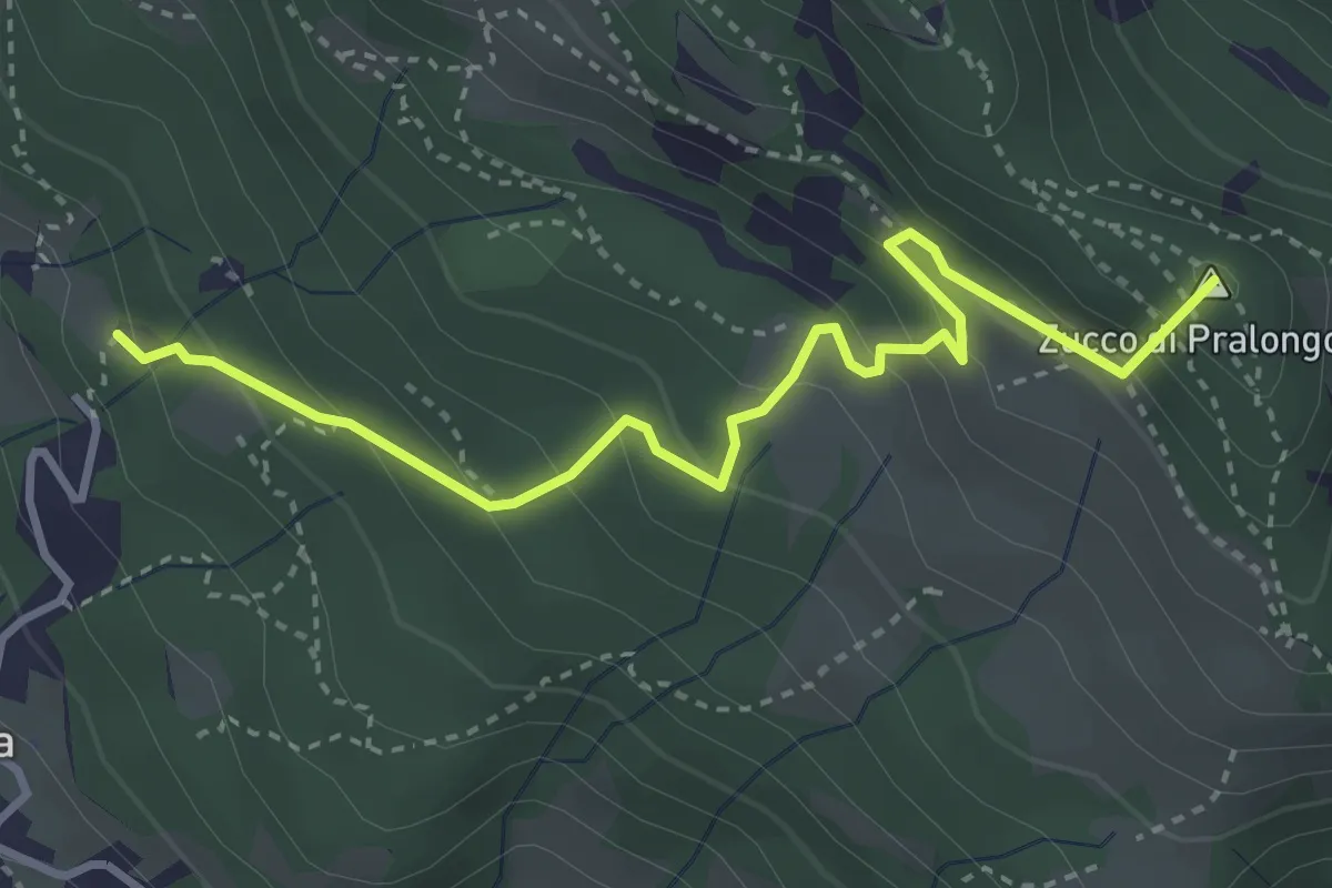
Medium · Summit
Fuipiano – Tre Faggi
3.8 km · ↑ 306 m · 1 h 34 min · 10 km away
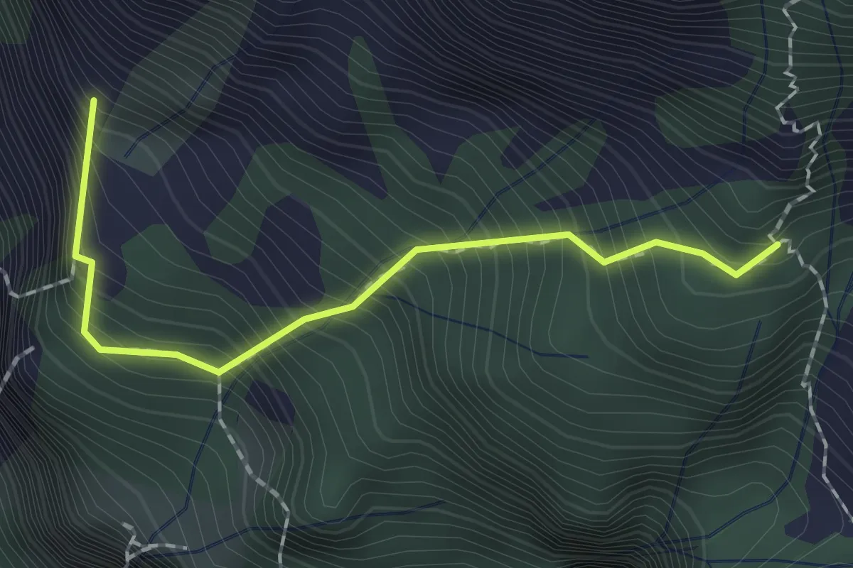
Expert · Summit
Sentiero dei Tecett
1.8 km · ↑ 408 m · 1 h 18 min · 10 km away
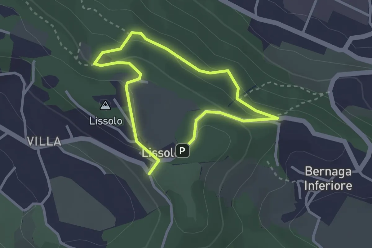
Easy · Summit
Sentiero dei Proverbi
2.0 km · ↑ 74 m · 39 min · 10 km away
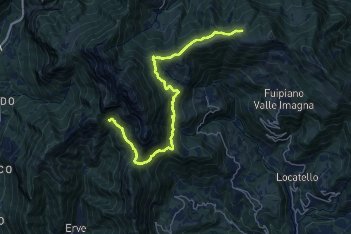
Demanding · Cabin
CamminaForeste - Tappa 9D
18.5 km · ↑ 1177 m · 6 h 55 min · 10 km away
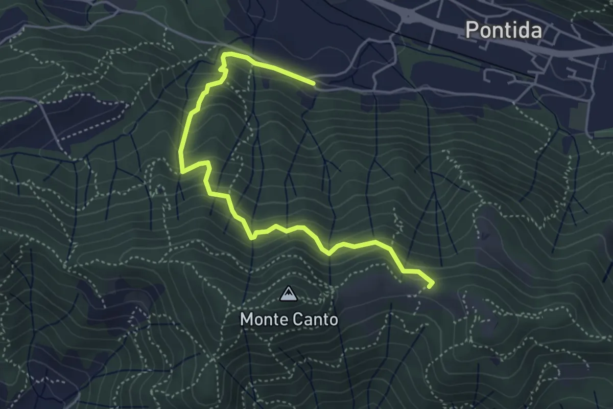
Medium · Trail
Pontida (Santuario San Giuseppe) – Il Canto (incrocio 897)
4.9 km · ↑ 429 m · 2 h 5 min · 10 km away
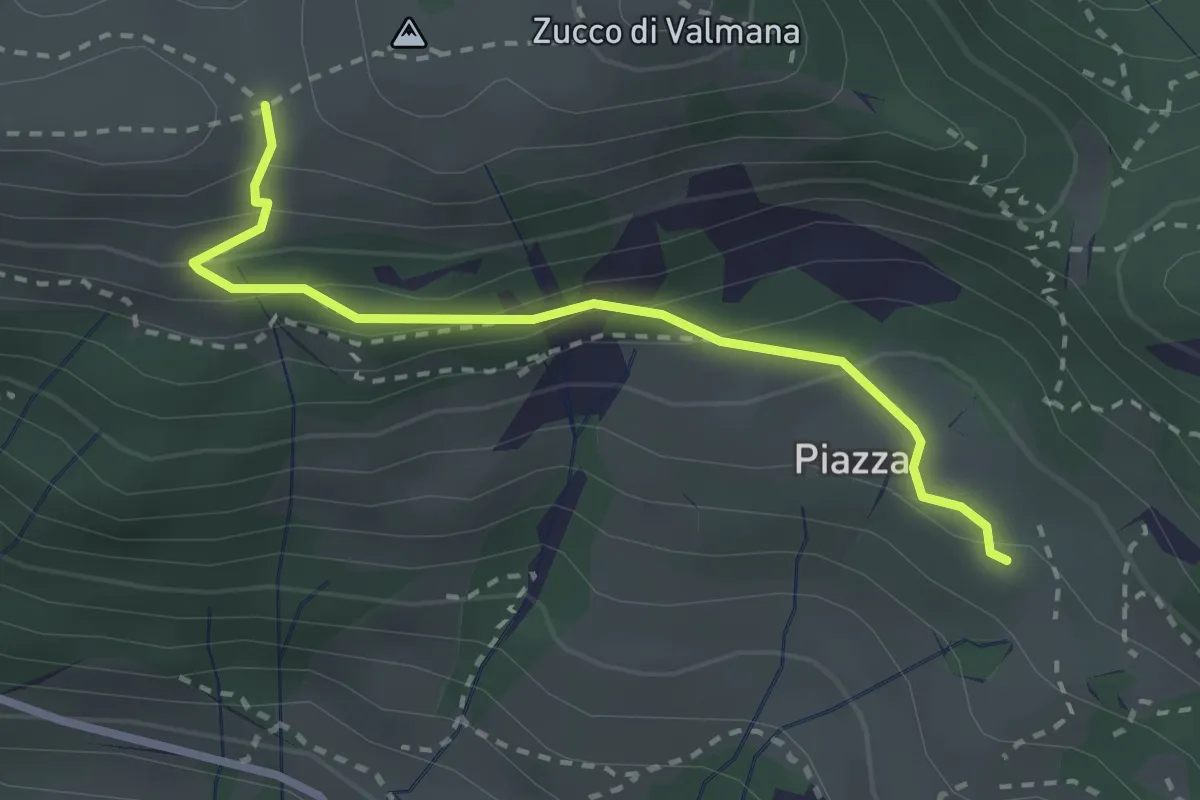
Easy · Trail
Fuipiano – Forcella di Valmana
2.6 km · ↑ 183 m · 1 h 1 min · 10 km away
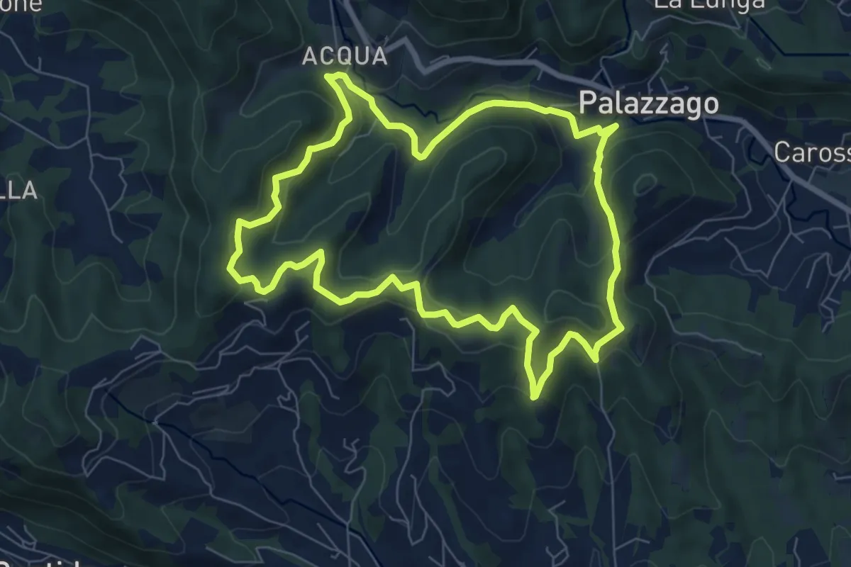
Medium · Summit
Percorso dei Pradéi
7.3 km · ↑ 344 m · 2 h 34 min · 10 km away
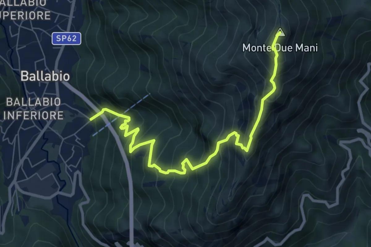
Demanding · Summit
Ballabio Inferiore (Ca' Formai) – Monte Due Mani
7.7 km · ↑ 970 m · 3 h 56 min · 10 km away
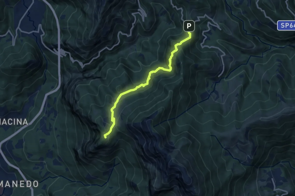
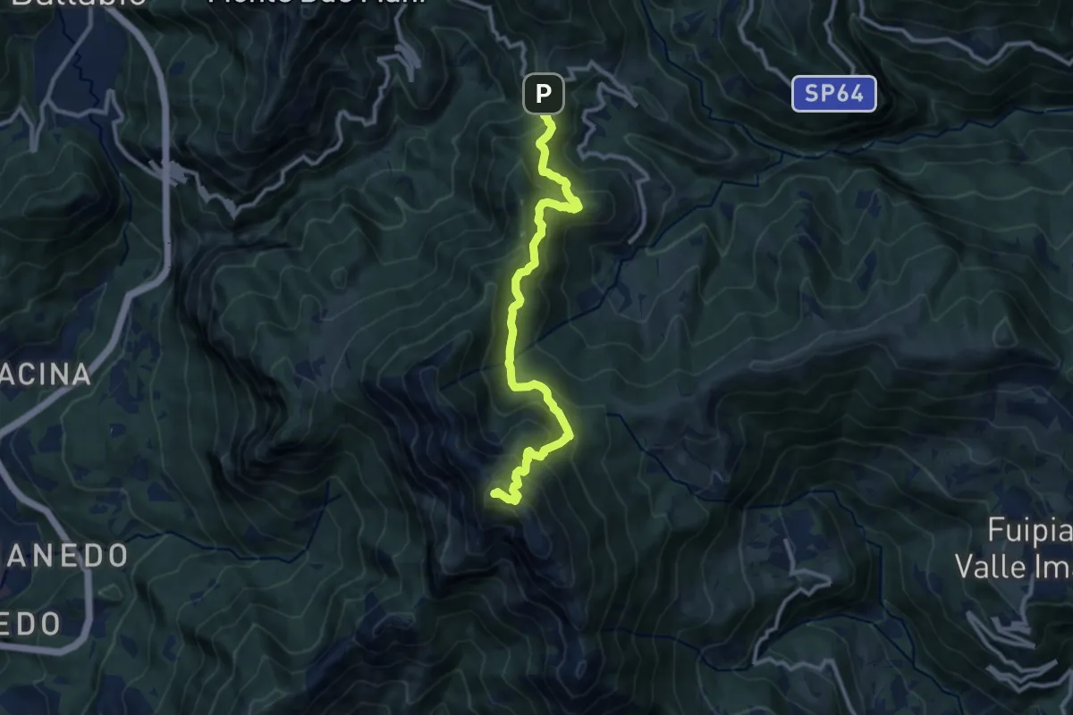
Expert · Trail
Pianid'Erna – Forcella di Olino
8.9 km · ↑ 659 m · 3 h 32 min · 10 km away
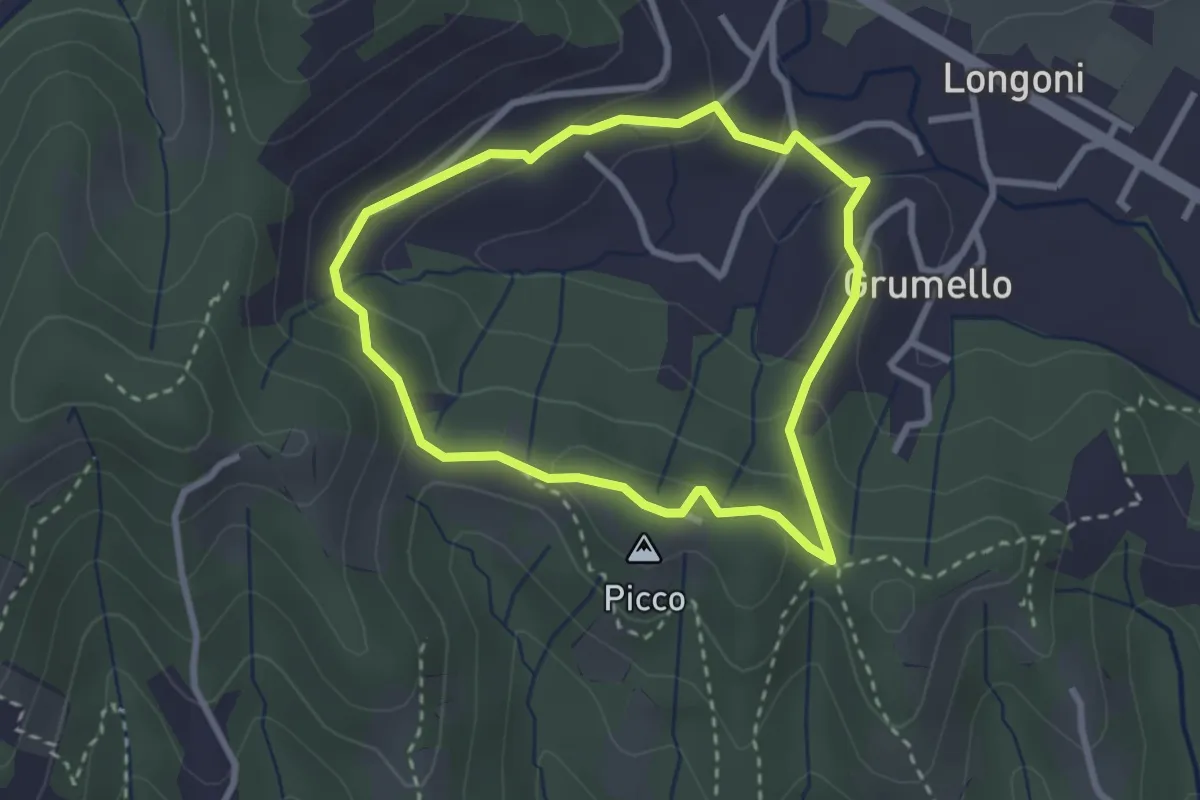
Demanding · Summit
Forcella di Olino – Monte Resegone
10.5 km · ↑ 866 m · 4 h 22 min · 10 km away
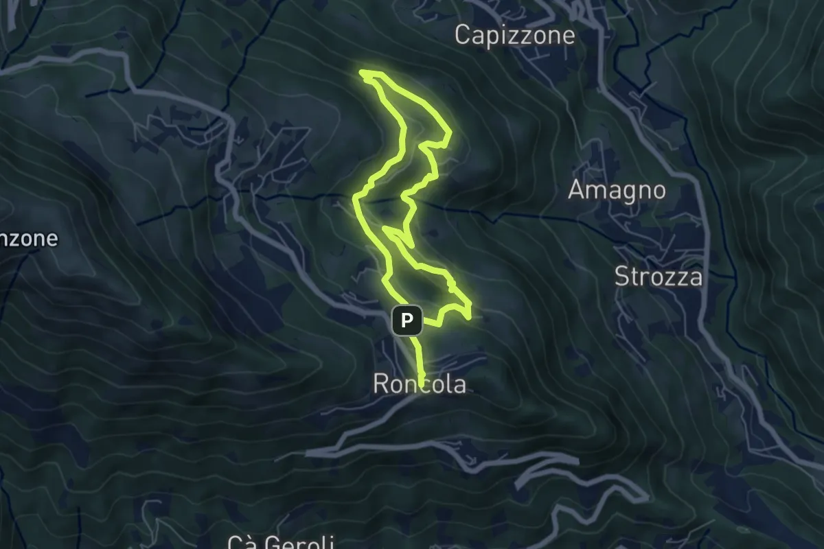
Easy · Summit
I dintorni di Brocchione
2.5 km · ↑ 93 m · 50 min · 10 km away
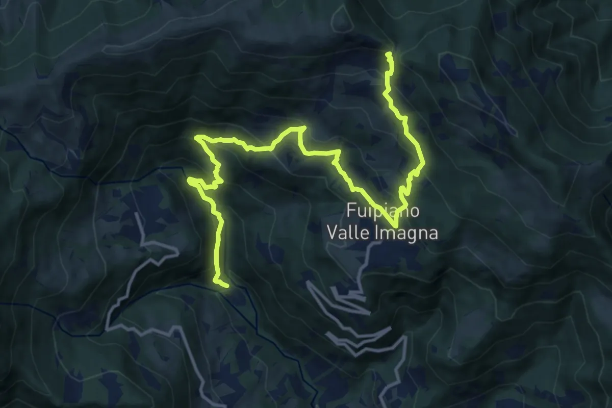
Medium · Trail
Sentiero dei Borghi
9.6 km · ↑ 453 m · 3 h 15 min · 10 km away
Demanding · Trail
Chignolo – Bocca del Grassello
13.5 km · ↑ 994 m · 5 h 21 min · 10 km away
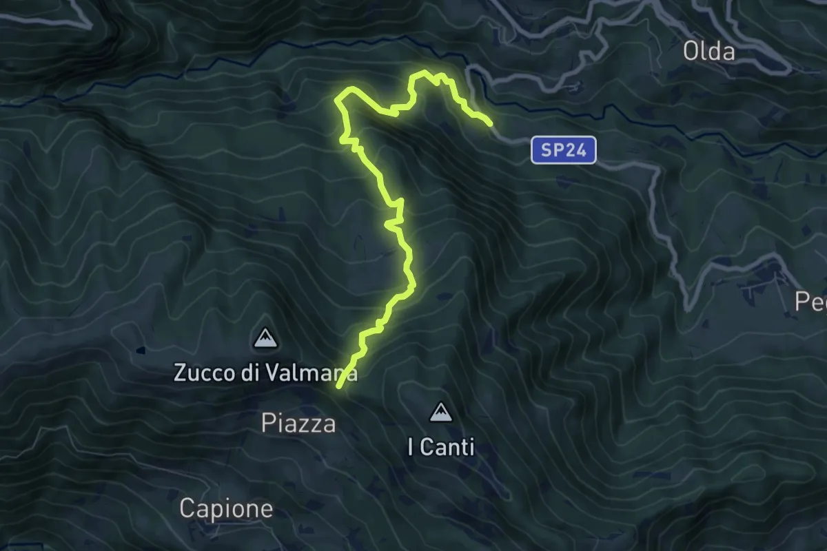
Medium · Trail
Ponte Lavina – Bocca del Grassello
8.2 km · ↑ 738 m · 3 h 32 min · 11 km away
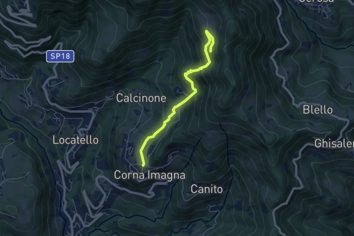
Medium · Trail
Cavaggio (Corna Imagna) – Piazzacava (incrocio 571)
5.2 km · ↑ 392 m · 2 h 5 min · 11 km away
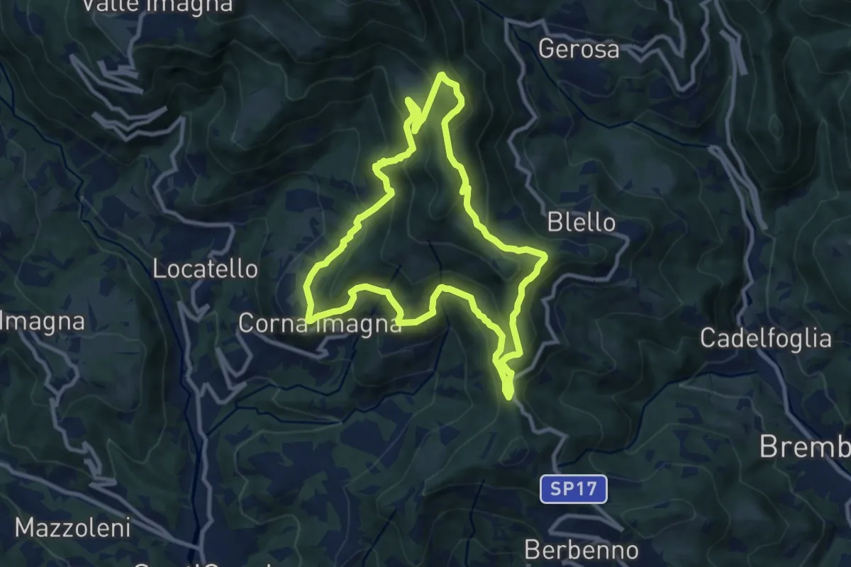
Medium · Summit
Sentiero dei Roccoli
9.3 km · ↑ 570 m · 3 h 34 min · 11 km away
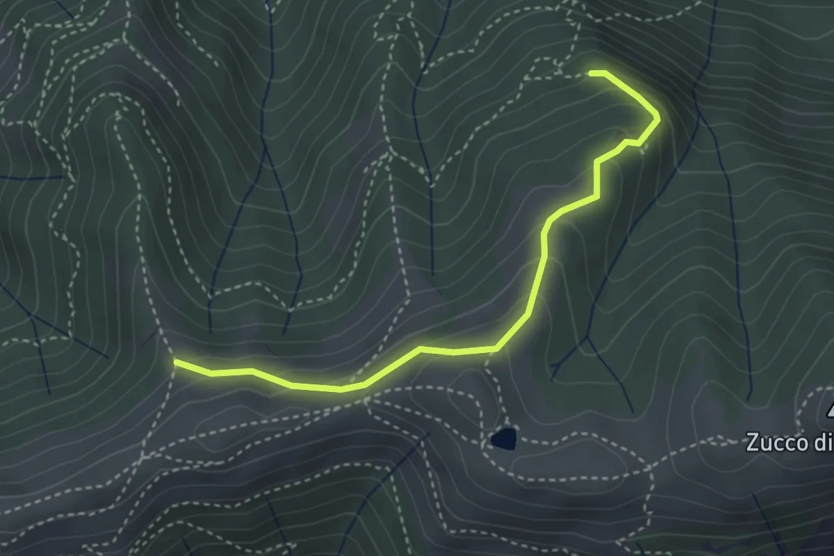
Medium · Trail
Sentiero dei Grandi Alberi - Variante per Alpeggio Costa del Palio e per il Foo di Valmana
3.5 km · ↑ 264 m · 1 h 23 min · 11 km away
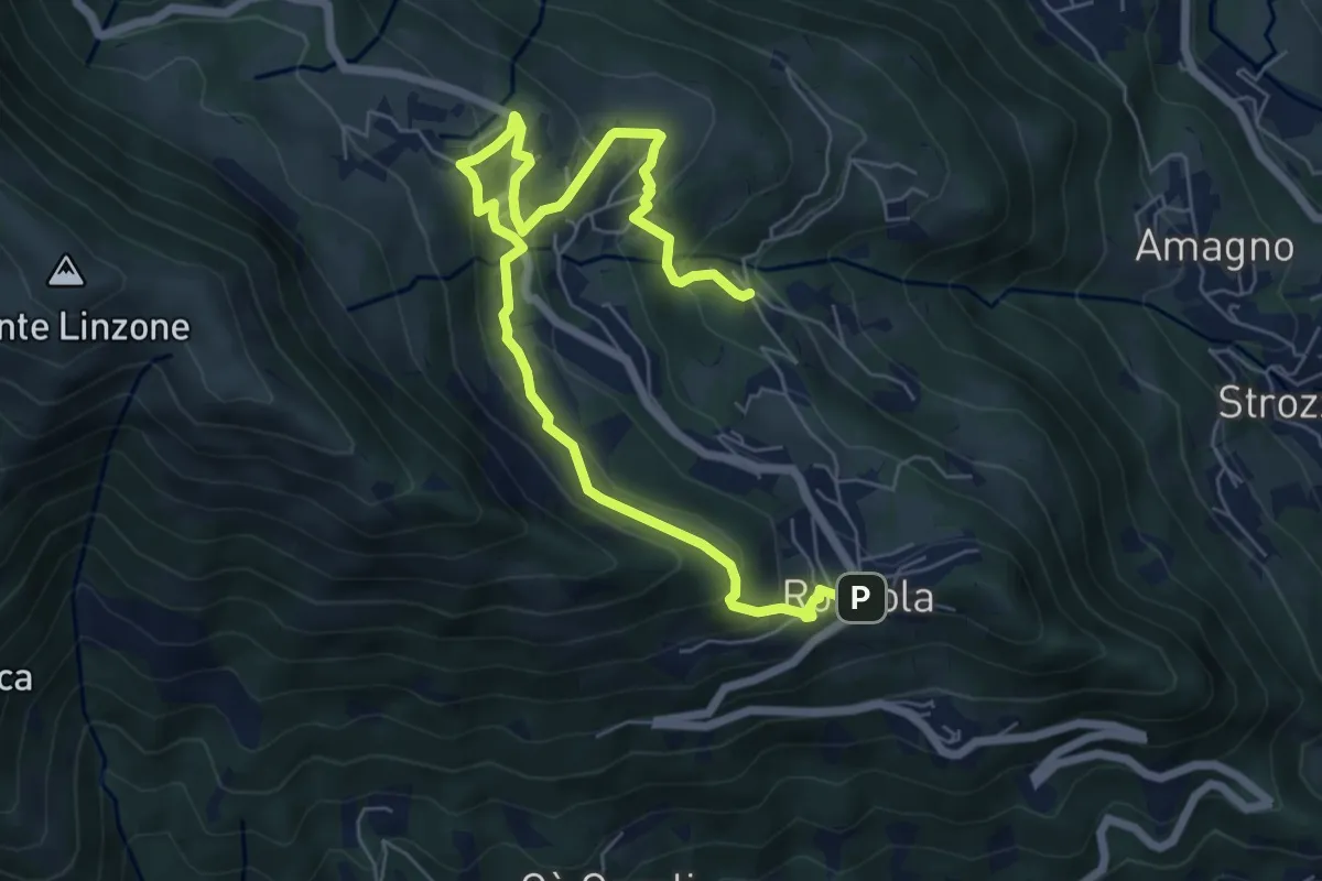
Medium · Trail
Sentiero dell'Acqua
8.4 km · ↑ 438 m · 2 h 56 min · 11 km away
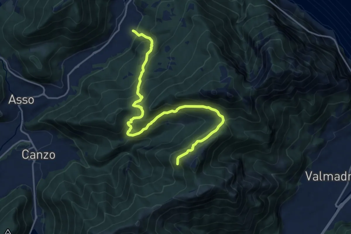
Demanding · Trail
Candalino – Alpe Alto
14.3 km · ↑ 1171 m · 5 h 55 min · 11 km away
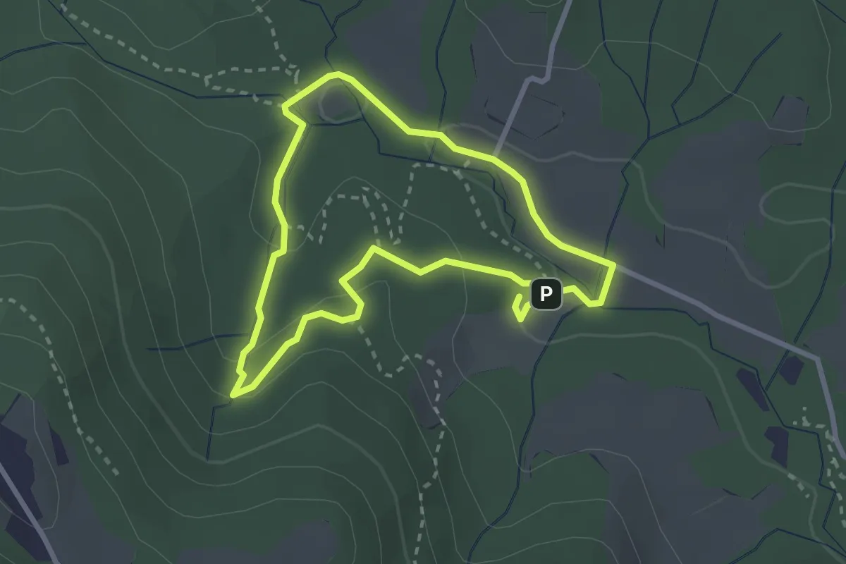
Easy · Trail
Percorso delle sorgenti petrificanti
2.5 km · ↑ 73 m · 46 min · 11 km away
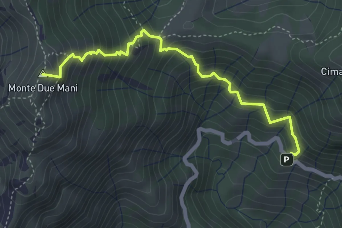
Medium · Summit
Innesto SP63 – Monte Due Mani
4.1 km · ↑ 587 m · 2 h 14 min · 11 km away