Trails near Calolziocorte
330 hikes starting within 15 km, nearest first.
Nearest first, page 5 of 7
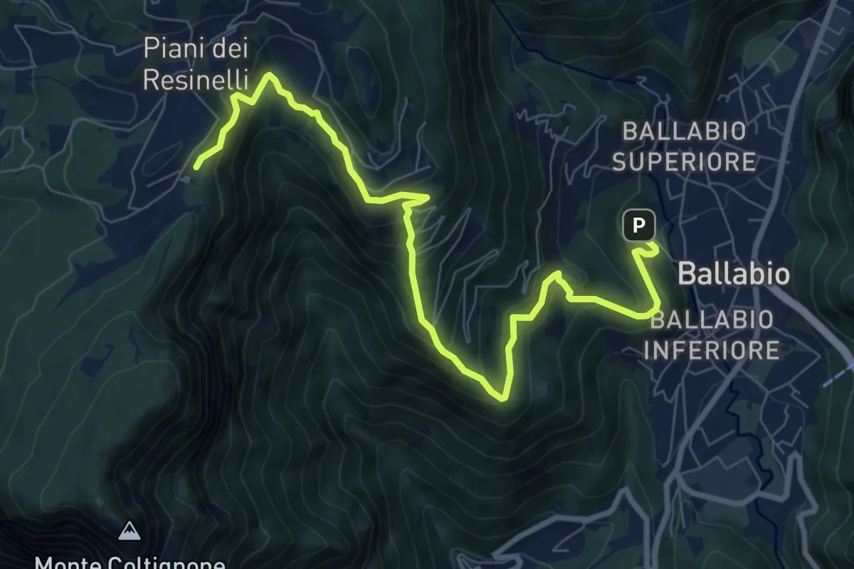
Medium · Cabin
Ballabio – Rifugio Rocca Locatelli
9.3 km · ↑ 653 m · 3 h 37 min · 11 km away
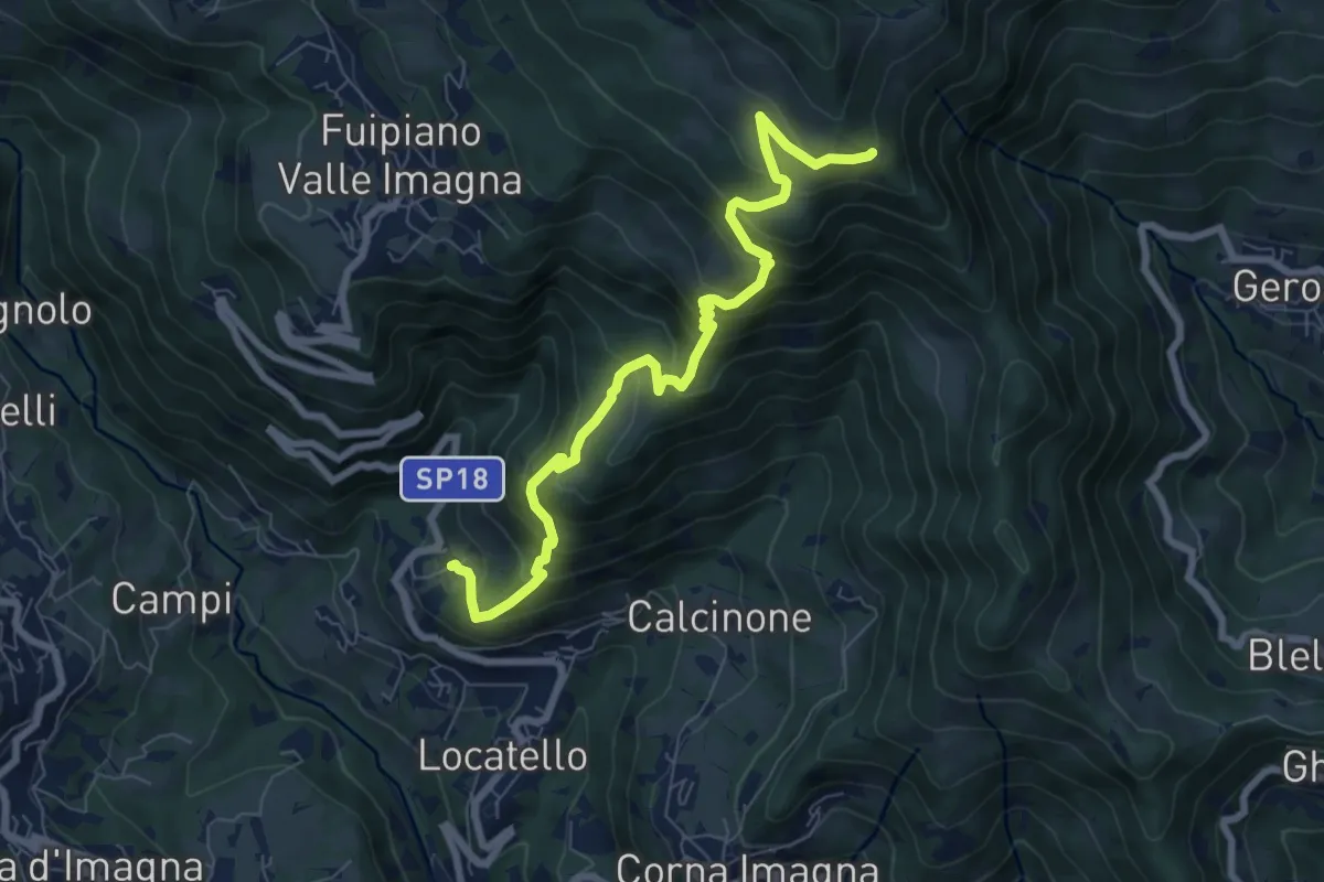
Medium · Trail
Locatello – Tre Faggi
8.1 km · ↑ 678 m · 3 h 23 min · 11 km away
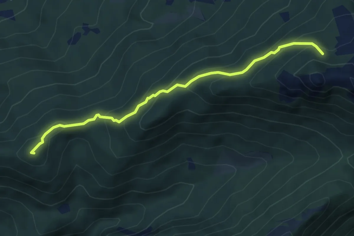
Medium · Summit
Visino (Valbrona) – Rifugio SEV
5.5 km · ↑ 406 m · 2 h 11 min · 11 km away
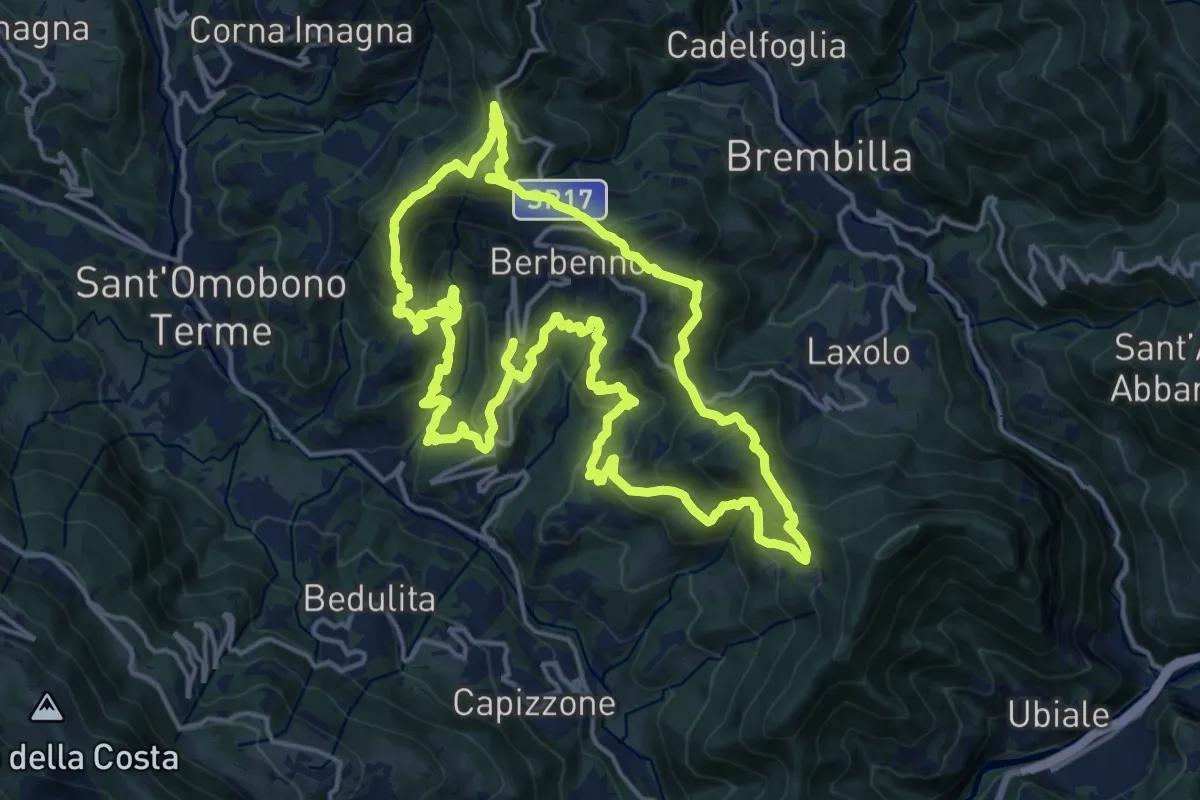
Demanding · Summit
Antiche Tracce
17.5 km · ↑ 1026 m · 6 h 37 min · 11 km away
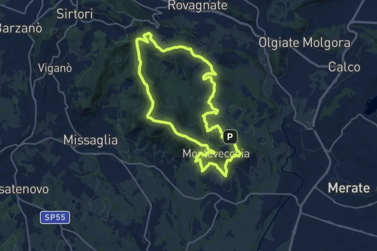
Medium · Summit
Percorso geologico
13.3 km · ↑ 473 m · 4 h 22 min · 11 km away
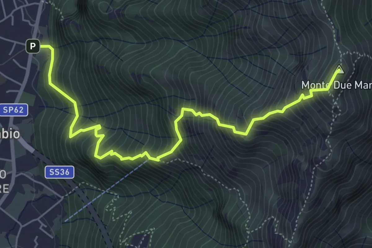
Demanding · Summit
Gera – Monte Due Mani
6.3 km · ↑ 961 m · 3 h 34 min · 11 km away
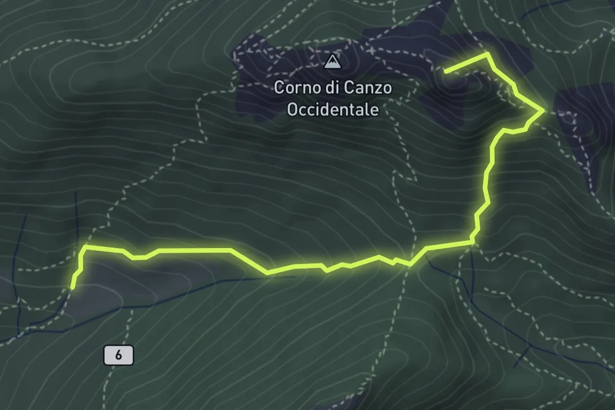
Medium · Summit
Terz'Alpe – Rifugio SEV Pianezzo
4.5 km · ↑ 519 m · 2 h 11 min · 11 km away
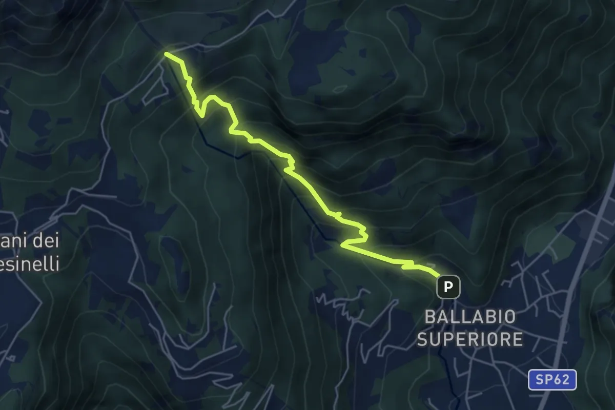
Medium · Trail
Sentiero 50: Ballabio - Piani Resinelli
5.1 km · ↑ 623 m · 2 h 33 min · 11 km away
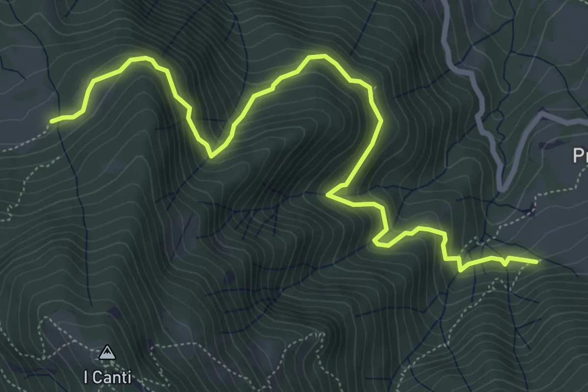
Demanding · Trail
Incrocio 569 (Peghera) – Incrocio 569B (Piazzoli)
7.2 km · ↑ 617 m · 3 h 3 min · 11 km away
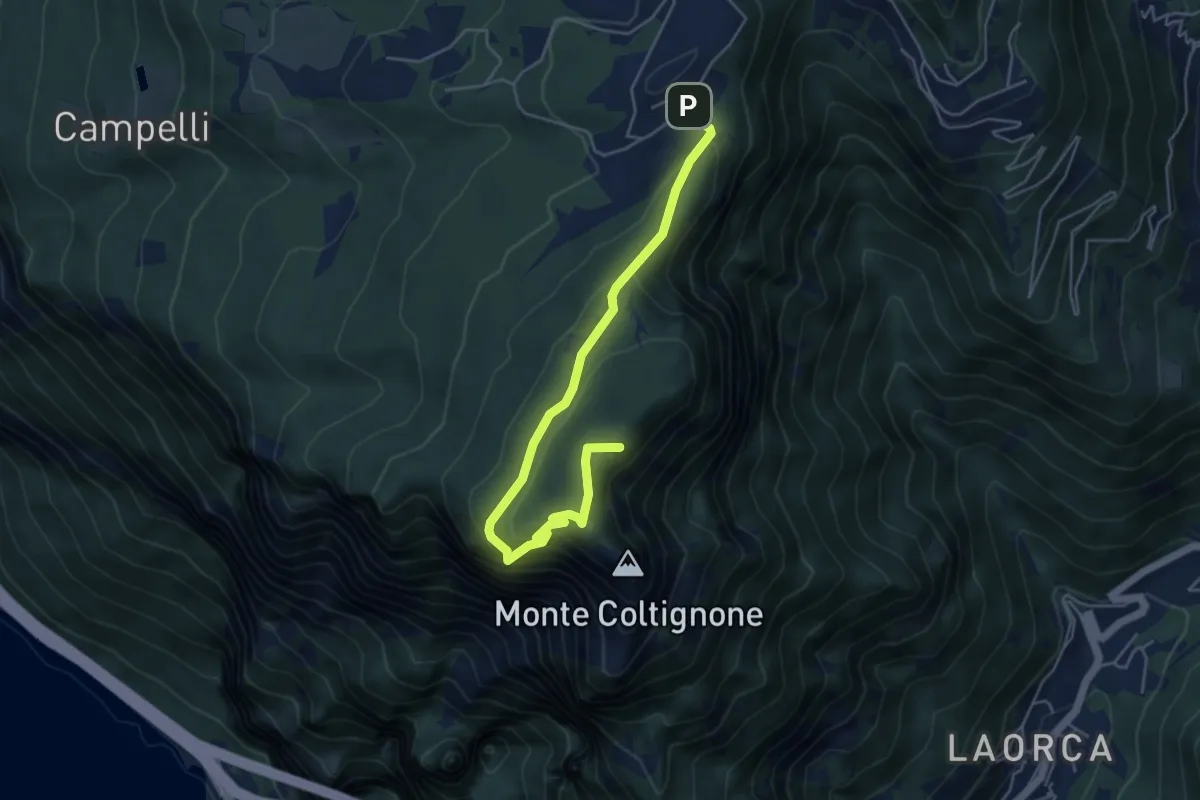
Medium · Summit
Itinerario 1 Parco Valentino
5.4 km · ↑ 301 m · 1 h 55 min · 11 km away
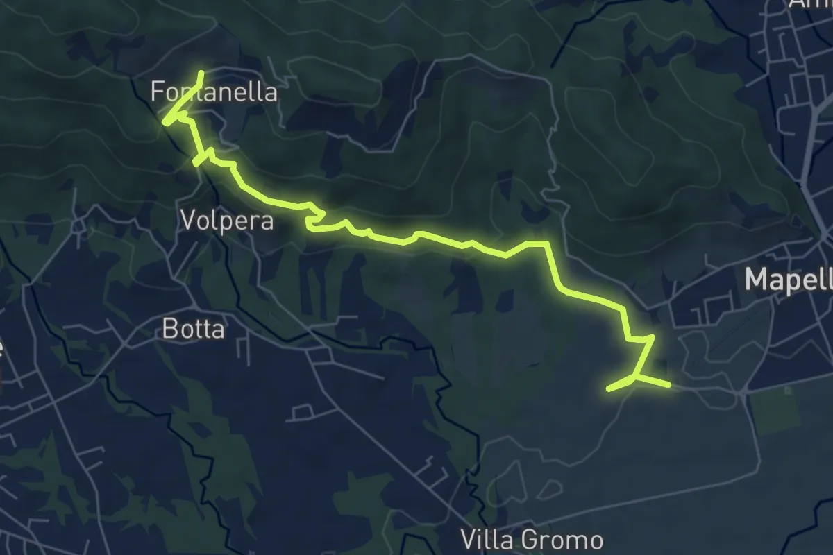
Medium · Trail
Madonna di Prada – Fontanella (Sotto il Monte)
7.5 km · ↑ 231 m · 2 h 17 min · 11 km away
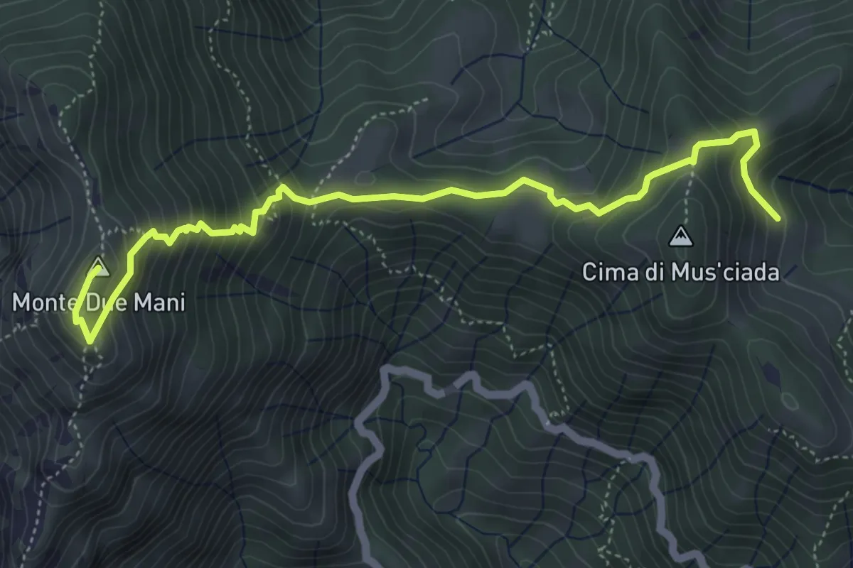
Medium · Summit
Casera di Musciada - Monte Due Mani
5.6 km · ↑ 485 m · 2 h 22 min · 11 km away
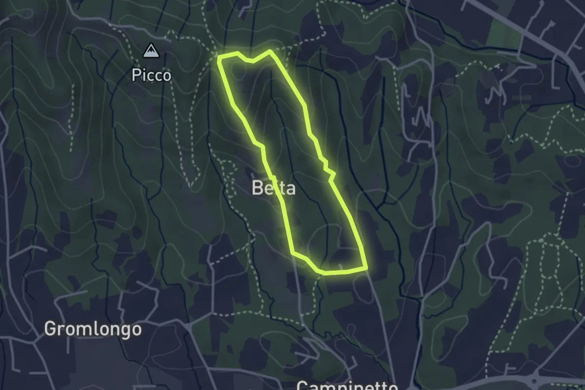
Easy · Summit
Beita - La Vena - Secchia
2.5 km · ↑ 116 m · 53 min · 11 km away
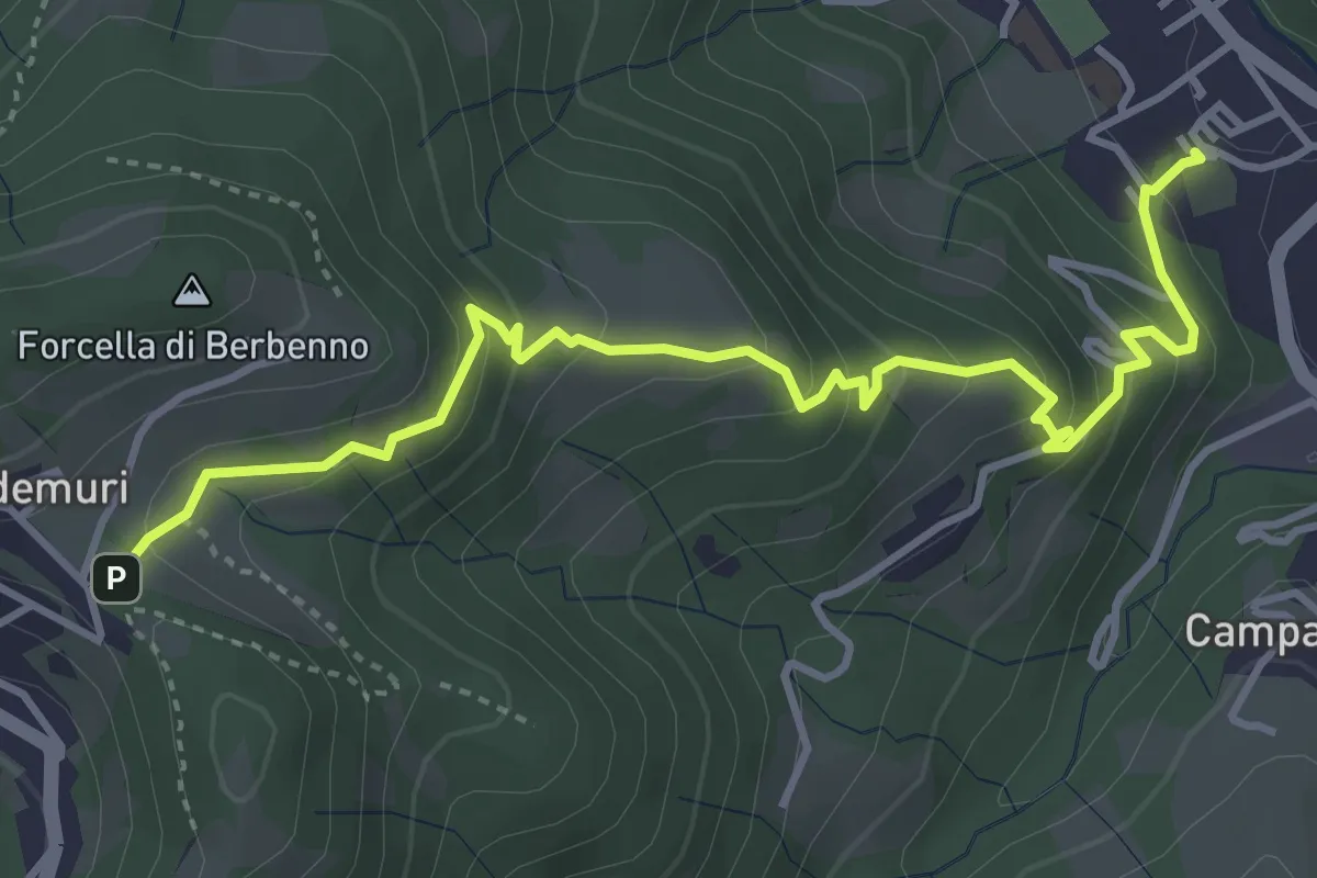
Medium · Trail
Brembilla – Forcella di Berbenno
4.6 km · ↑ 346 m · 1 h 50 min · 11 km away
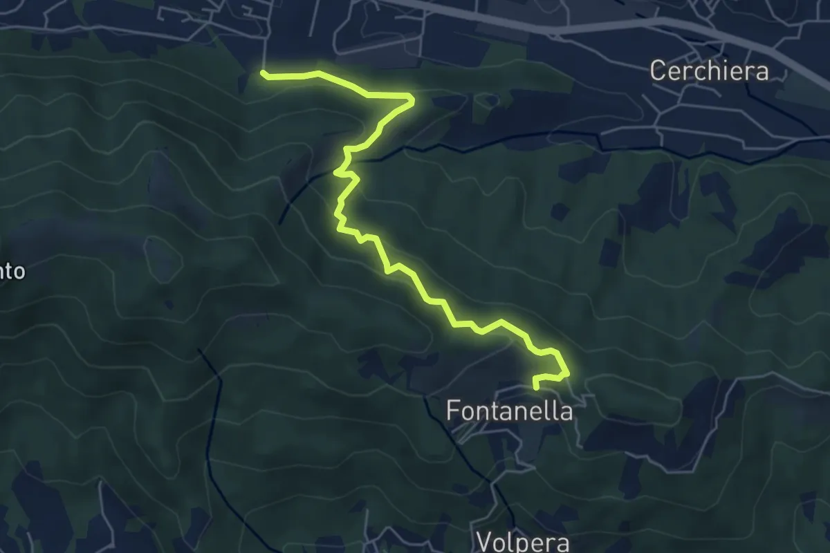
Medium · Trail
Pontida – Fontanella
5.9 km · ↑ 347 m · 2 h 8 min · 11 km away
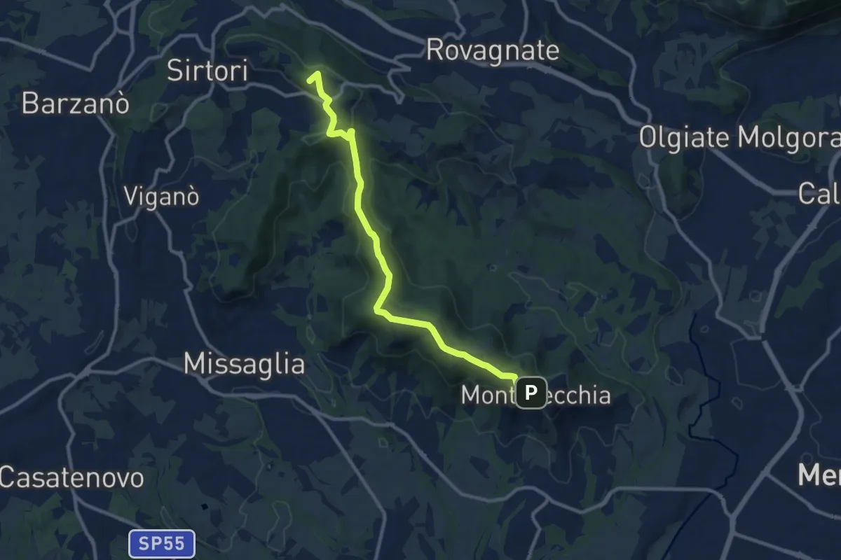
Medium · Summit
Ceregallo – Montevecchia alta
10.2 km · ↑ 305 m · 3 h 5 min · 12 km away
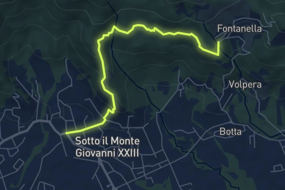
Easy · Trail
Sotto il Monte – Fontanella (incrocio 892)
5.8 km · ↑ 311 m · 2 h 3 min · 12 km away
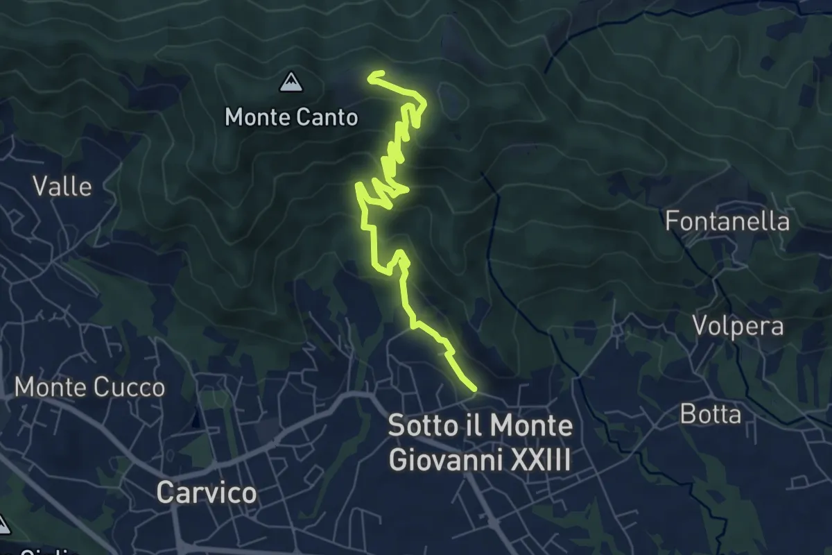
Medium · Trail
Sotto il Monte – Monte Canto (incrocio 891)
7.8 km · ↑ 458 m · 2 h 50 min · 12 km away
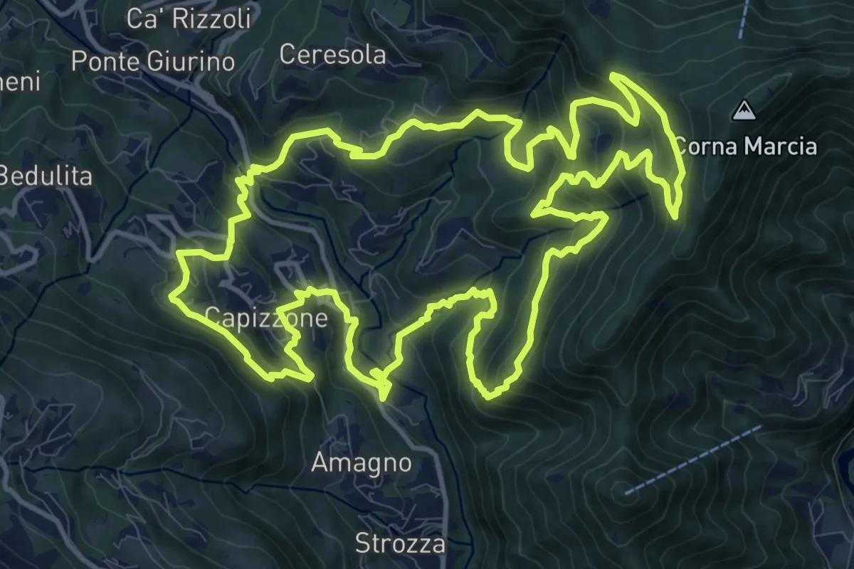
Demanding · Trail
Anello delle Contrade
14.2 km · ↑ 981 m · 5 h 41 min · 12 km away
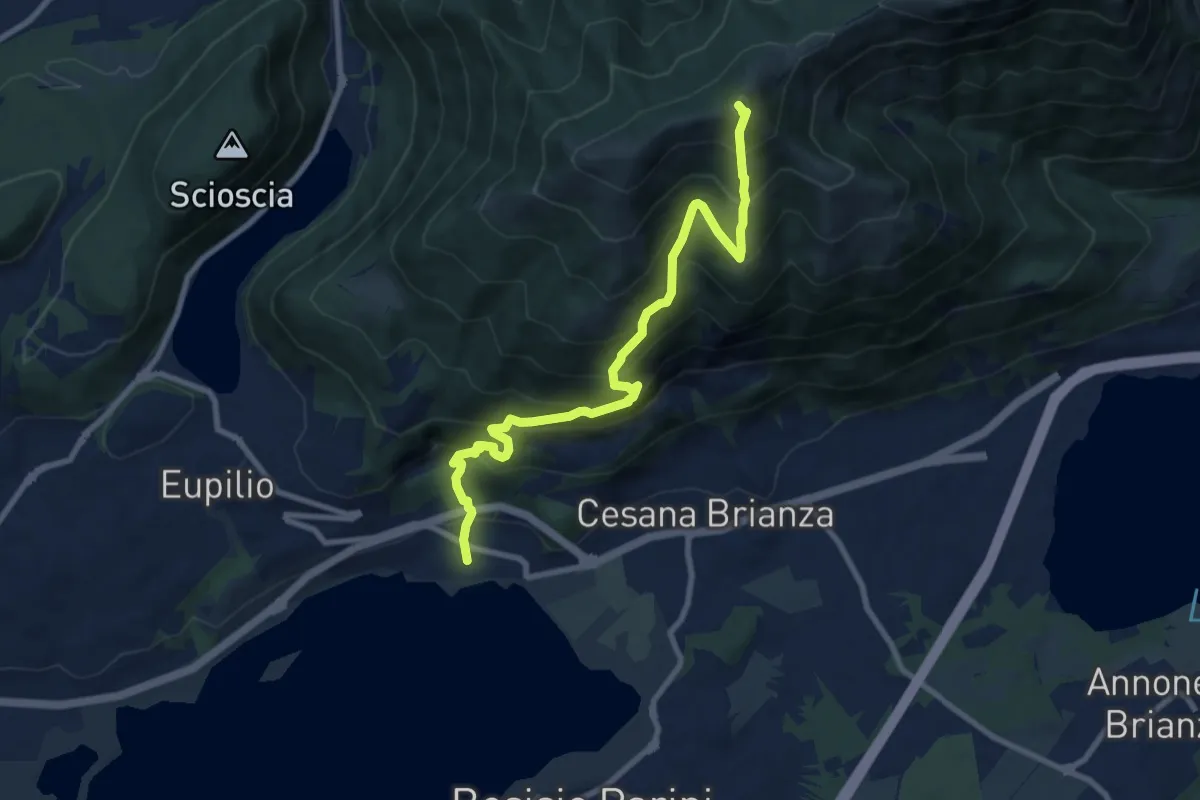
Demanding · Summit
Pusiano – Monte Cornizzolo
9.6 km · ↑ 1053 m · 4 h 32 min · 12 km away
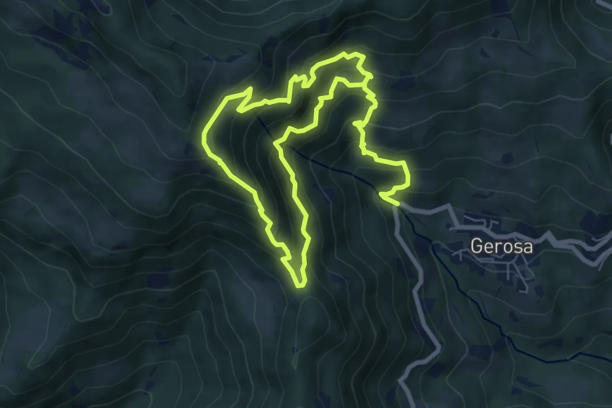
Demanding · Trail
Mulini – Tre Faggi
11.1 km · ↑ 1129 m · 5 h 4 min · 12 km away
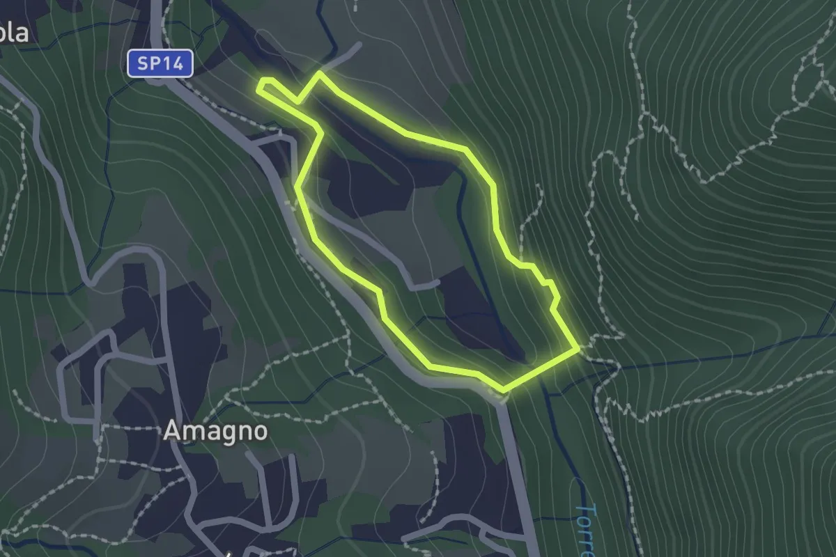
Easy · Trail
Anello del Poscadì
1.5 km · ↑ 62 m · 31 min · 12 km away
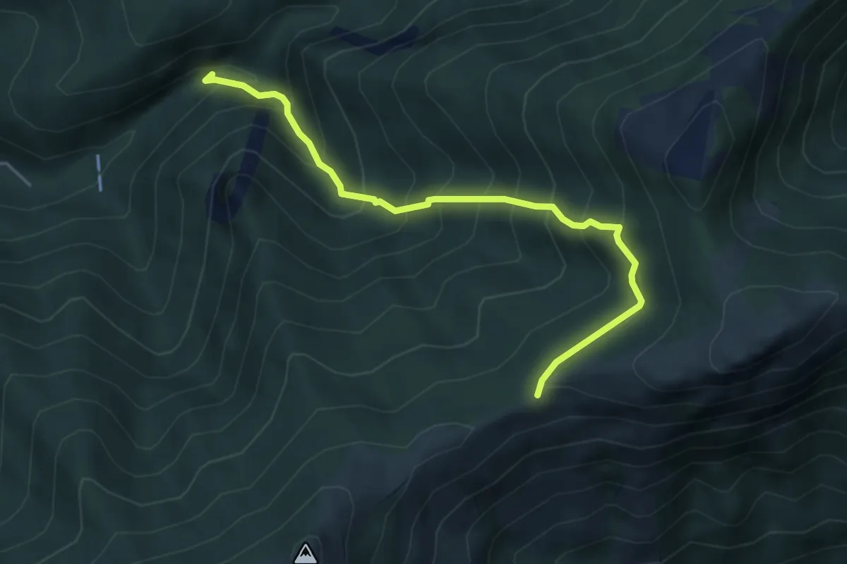
Medium · Trail
Sentiero Geologico (San Miro) – Pendici del Monte Rai
4.7 km · ↑ 531 m · 2 h 15 min · 12 km away
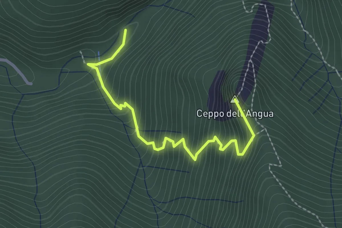
Medium · Summit
Sentiero Geologico – Rifugio SEC "Marisa Consigliere"
2.5 km · ↑ 328 m · 1 h 18 min · 12 km away
Demanding · Summit
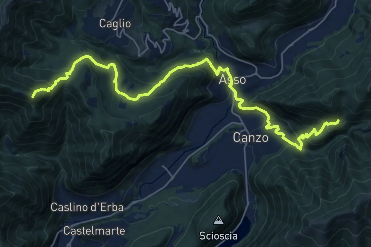
CamminaForeste - Tappa 9B
20.9 km · ↑ 1286 m · 7 h 44 min · 12 km away
Easy · Summit
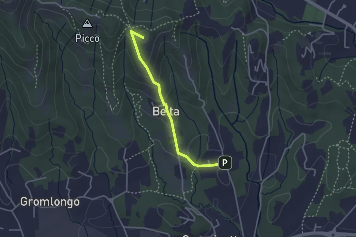
Brocchione – Secchia
2.6 km · ↑ 121 m · 53 min · 12 km away
Demanding · Summit
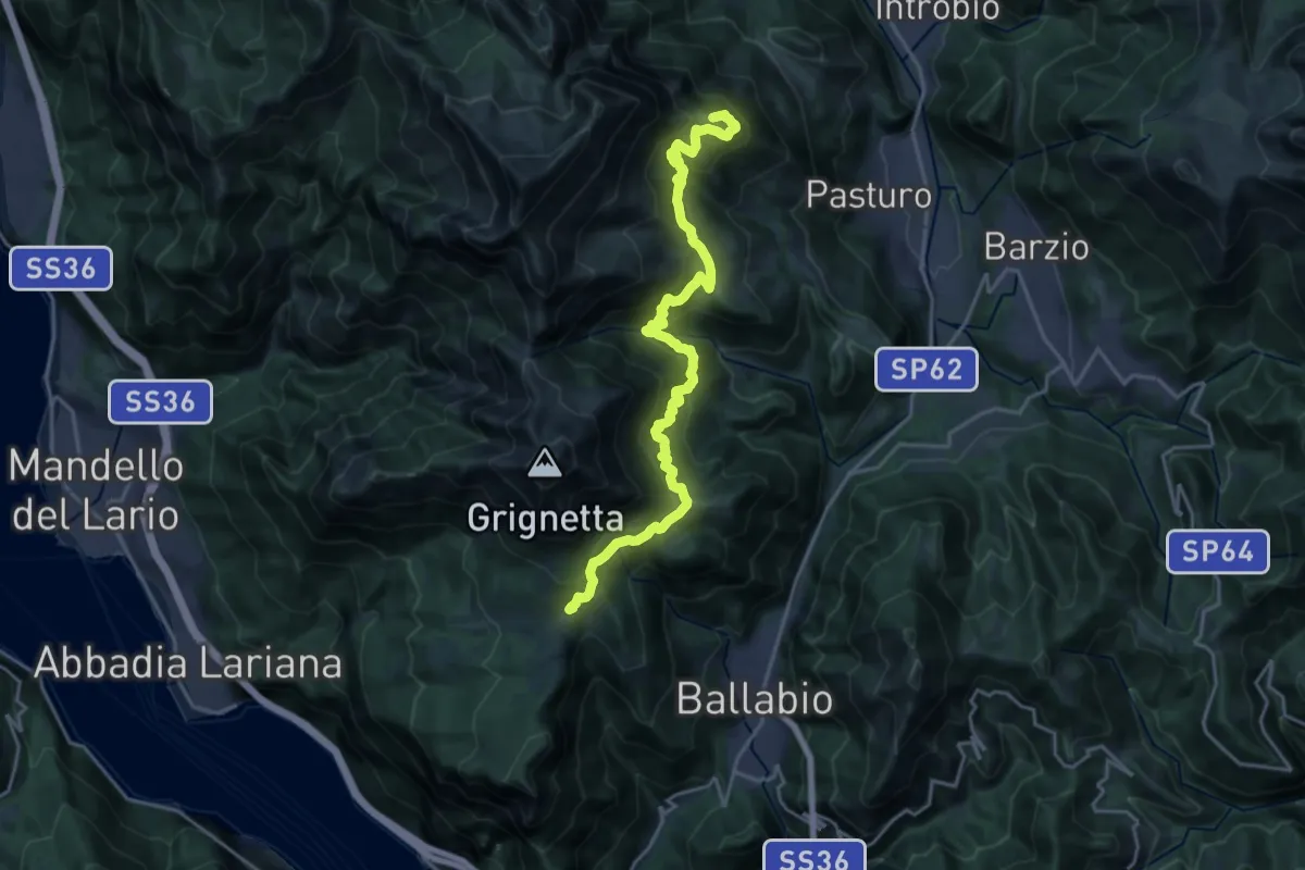
Traversata Bassa delle Grigne
21.3 km · ↑ 1565 m · 8 h 25 min · 12 km away
Medium · Trail
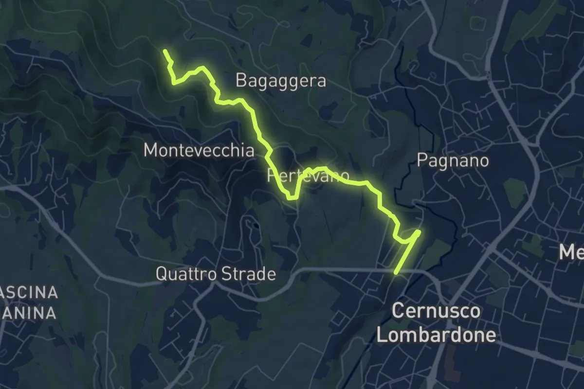
Percorso stazione
8.4 km · ↑ 261 m · 2 h 32 min · 12 km away
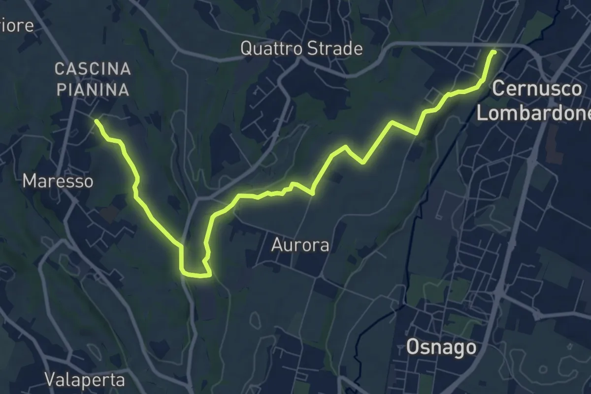
Medium · Trail
Cernusco Lombardone (FS) – Maresso
10.5 km · ↑ 100 m · 2 h 42 min · 12 km away
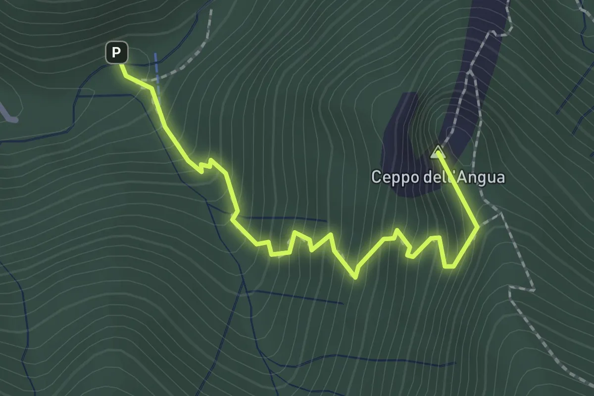
Medium · Summit
Sentiero Geologico – Rifugio SEC "Marisa Consigliere"
2.3 km · ↑ 312 m · 1 h 13 min · 12 km away
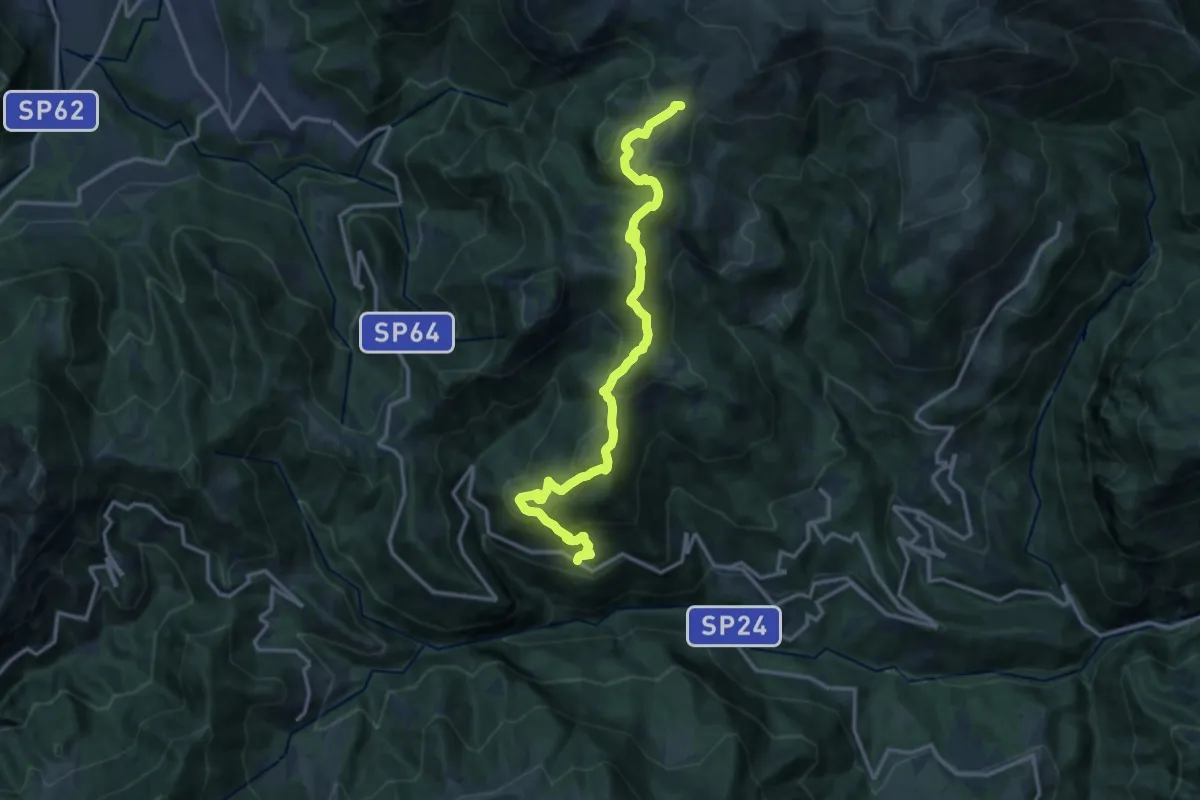
Medium · Trail
Avolasio (Vedeseta) – Piani di Artavaggio
14.8 km · ↑ 756 m · 5 h 8 min · 12 km away
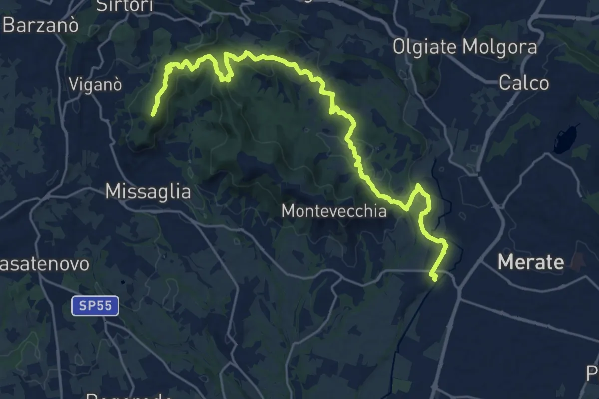
Demanding · Summit
Cernusco Lombardone (FS) – Missaglia
21.8 km · ↑ 575 m · 6 h 23 min · 12 km away
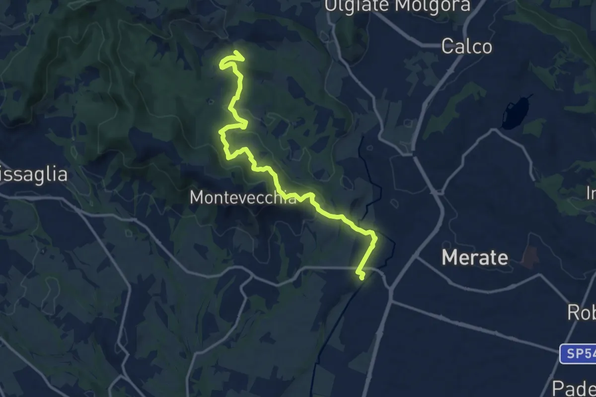
Medium · Summit
Cernusco Lombardone (FS) – Perego
12.5 km · ↑ 409 m · 3 h 51 min · 12 km away
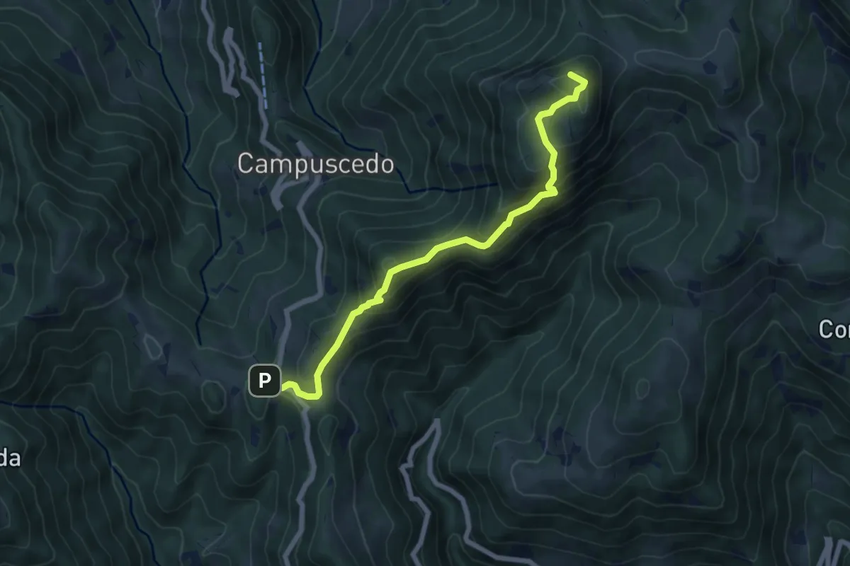
Medium · Summit
Culmine San Pietro – Area di sosta Maesimo
6.4 km · ↑ 504 m · 2 h 36 min · 12 km away
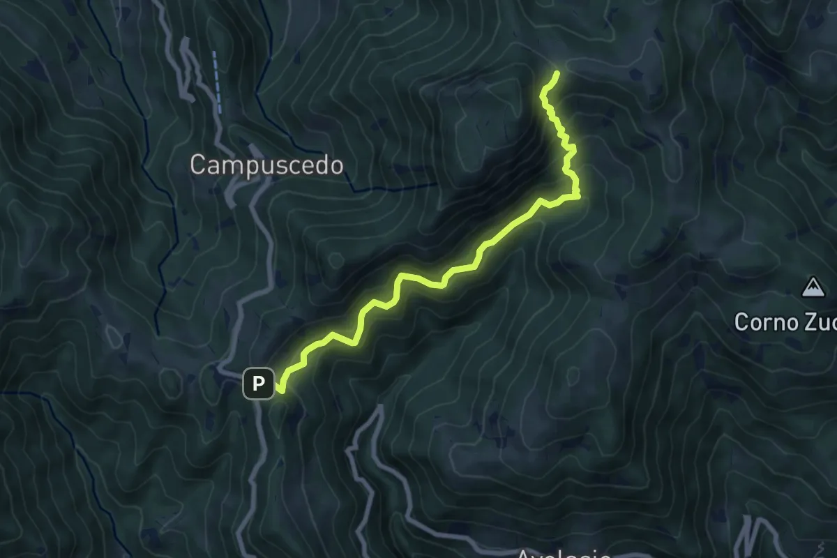
Medium · Trail
Innesto 730 – Area di sosta Maesimo
7.2 km · ↑ 661 m · 3 h 9 min · 12 km away
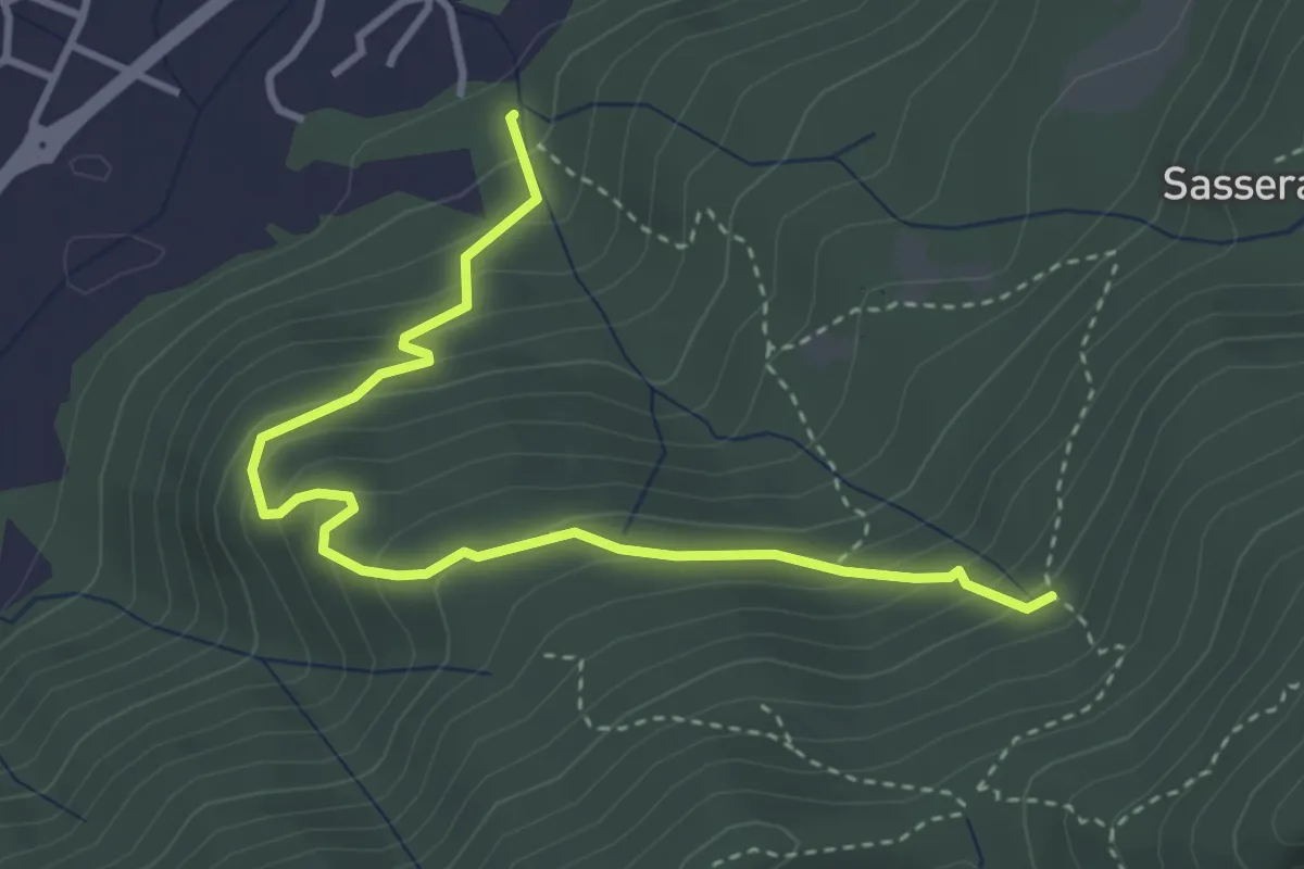
Easy · Trail
Ponte Castel – Sorgente (Valbrona)
4.0 km · ↑ 308 m · 1 h 37 min · 12 km away
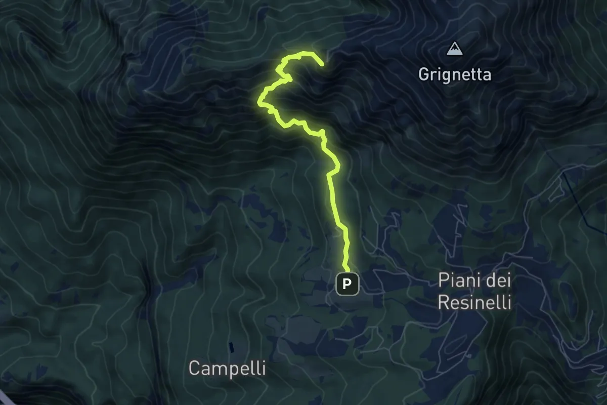
Demanding · Summit
Sentiero delle Foppe
6.2 km · ↑ 701 m · 2 h 59 min · 12 km away
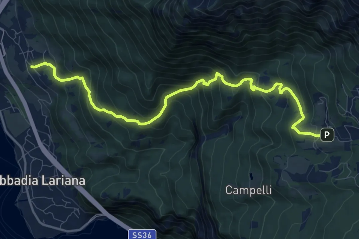
Demanding · Trail
Crebbio – Piani Resinelli
11.0 km · ↑ 883 m · 4 h 31 min · 12 km away
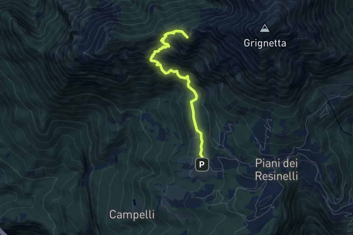
Demanding · Summit
Sentiero delle Foppe 2
6.2 km · ↑ 697 m · 2 h 59 min · 12 km away
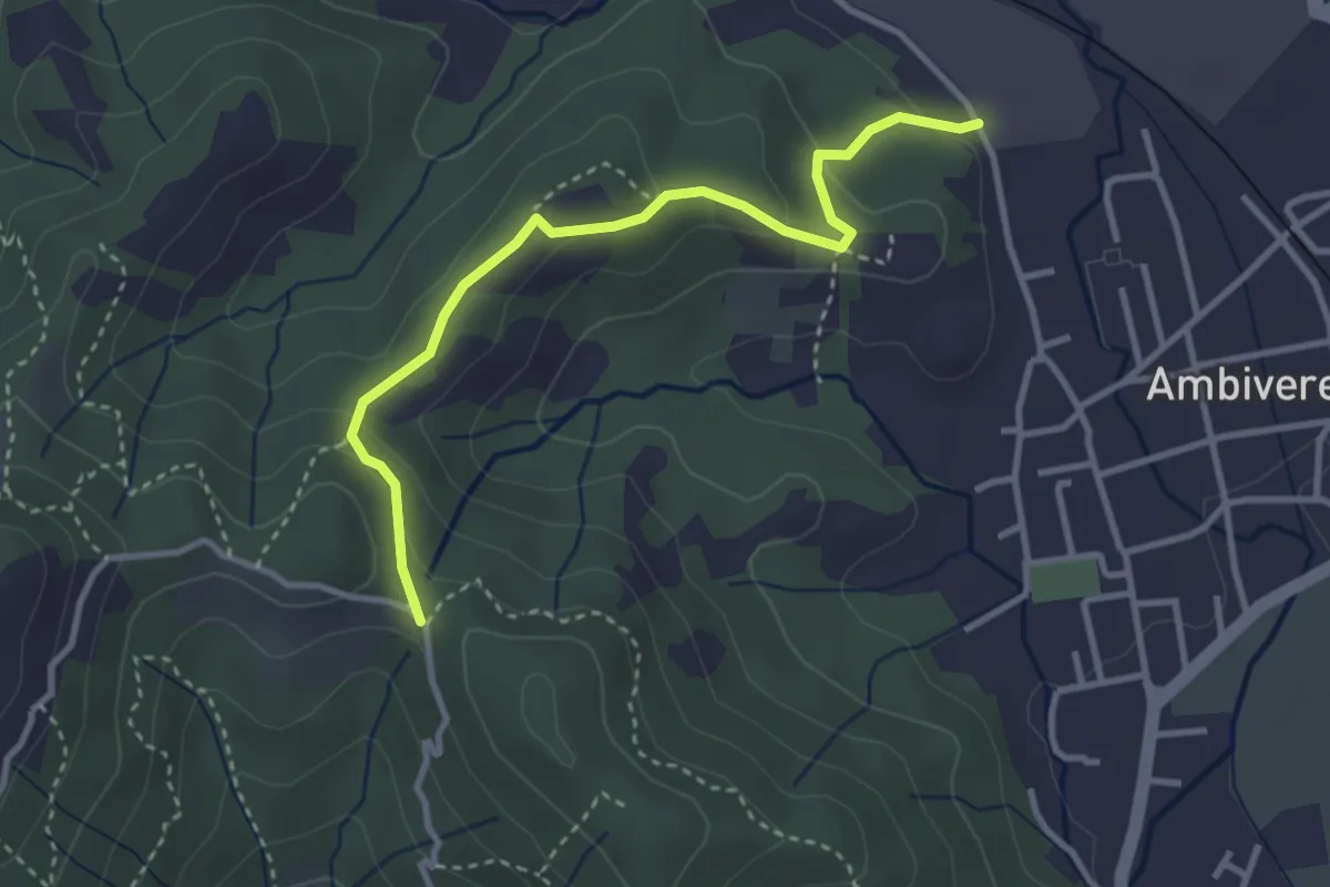
Easy · Trail
Ambivere – Chiesetta dei Cerri (incrocio 891)
3.4 km · ↑ 116 m · 1 h 3 min · 12 km away
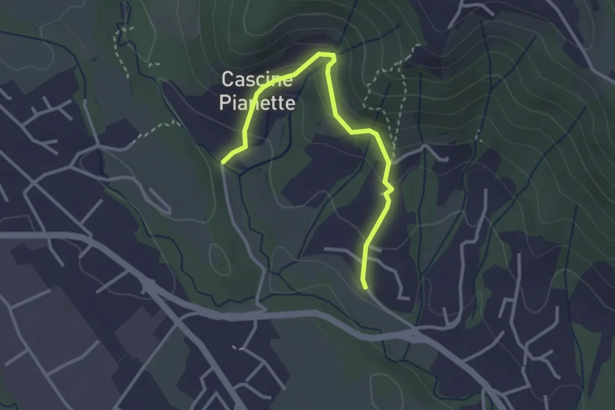
Easy · Trail
Cascina Oliva – Cascina Pianetta Prima
2.8 km · ↑ 163 m · 1 h 1 min · 12 km away
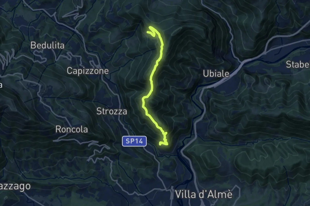
Medium · Trail
Sentiero del Partigiano Angelo Gotti
10.9 km · ↑ 778 m · 4 h 15 min · 12 km away
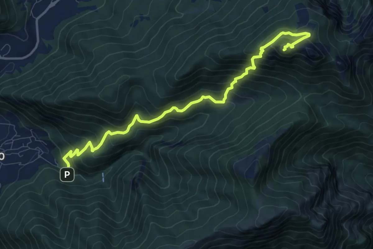
Expert · Summit
Fonti di Gajum – Vetta Corno Occidentale
10.7 km · ↑ 937 m · 4 h 33 min · 12 km away
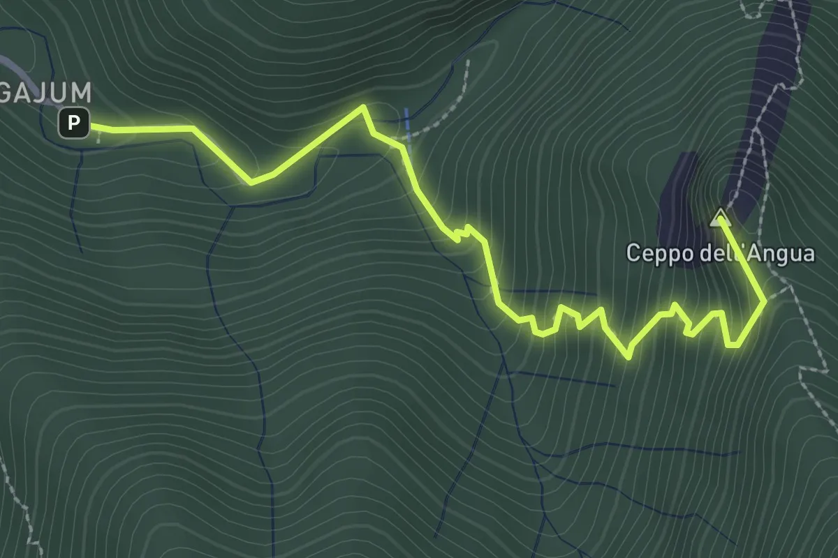
Medium · Summit
Fonti di Gajum – Rifugio Consiglieri
3.2 km · ↑ 370 m · 1 h 33 min · 12 km away
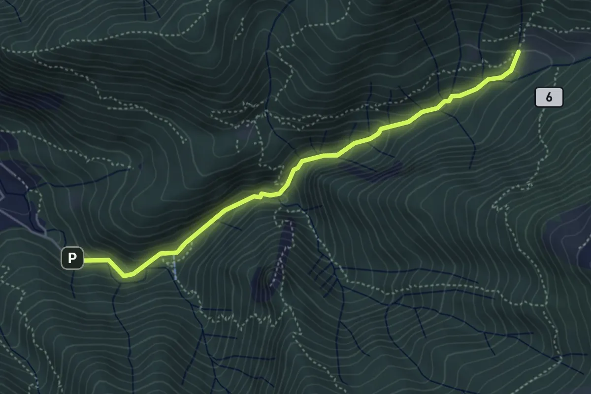
Medium · Trail
Fonti di Gajum – Terz'Alpe
4.8 km · ↑ 303 m · 1 h 47 min · 12 km away
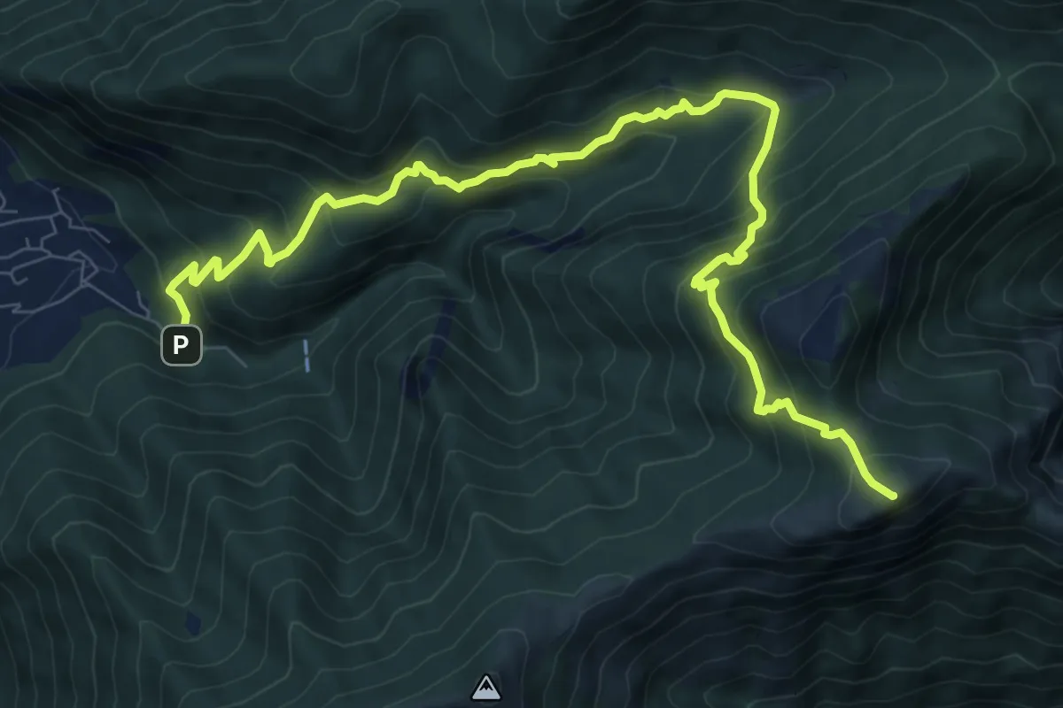
Demanding · Summit
Fonte di Gajum – Pendici del Monte Rai
10.9 km · ↑ 887 m · 4 h 30 min · 12 km away
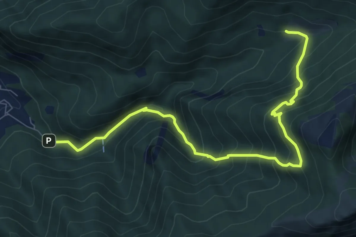
Demanding · Trail
Fonti di Gajum – Terz'Alpe
8.5 km · ↑ 900 m · 3 h 57 min · 12 km away
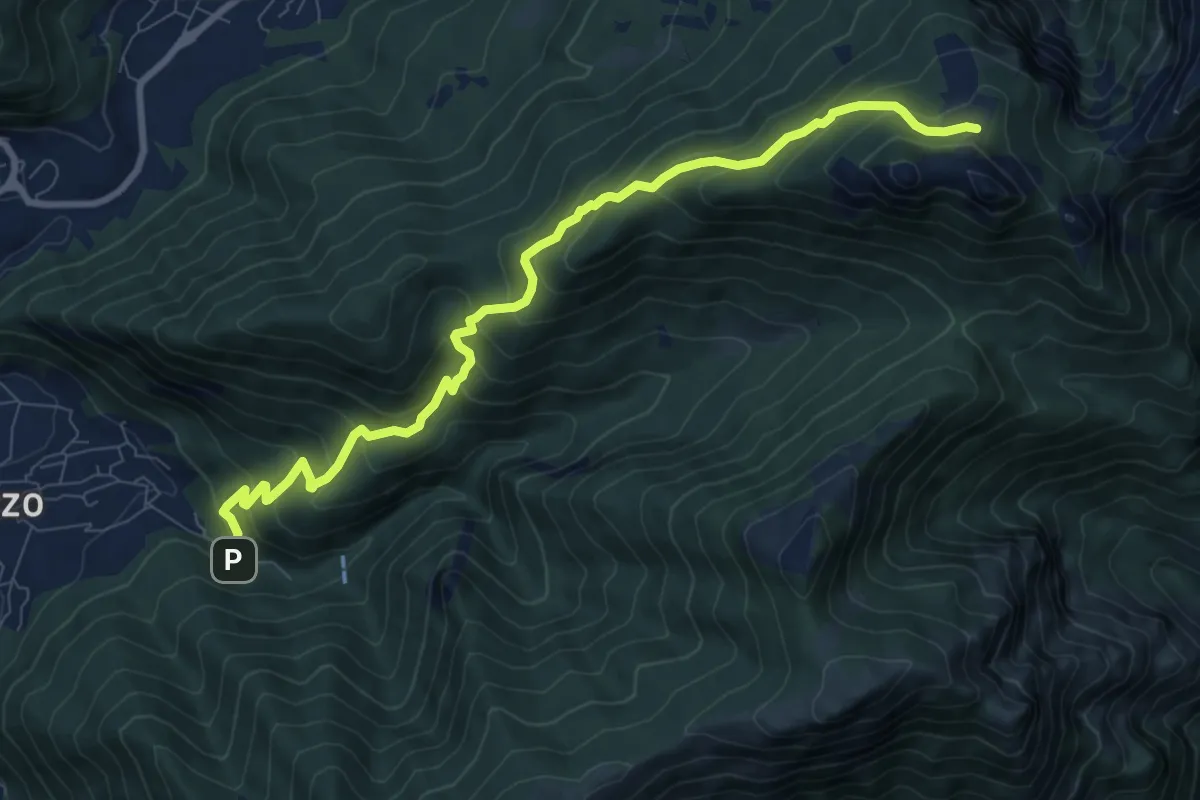
Medium · Cabin
Fonti di Gajum – Pianezzo
9.6 km · ↑ 780 m · 3 h 58 min · 12 km away