Trails near Calolziocorte
330 hikes starting within 15 km, nearest first.
Nearest first, page 6 of 7
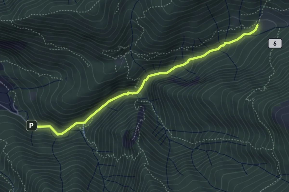
Medium · Trail
Sentiero Geologico Giorgio Achermann
4.7 km · ↑ 291 m · 1 h 45 min · 12 km away
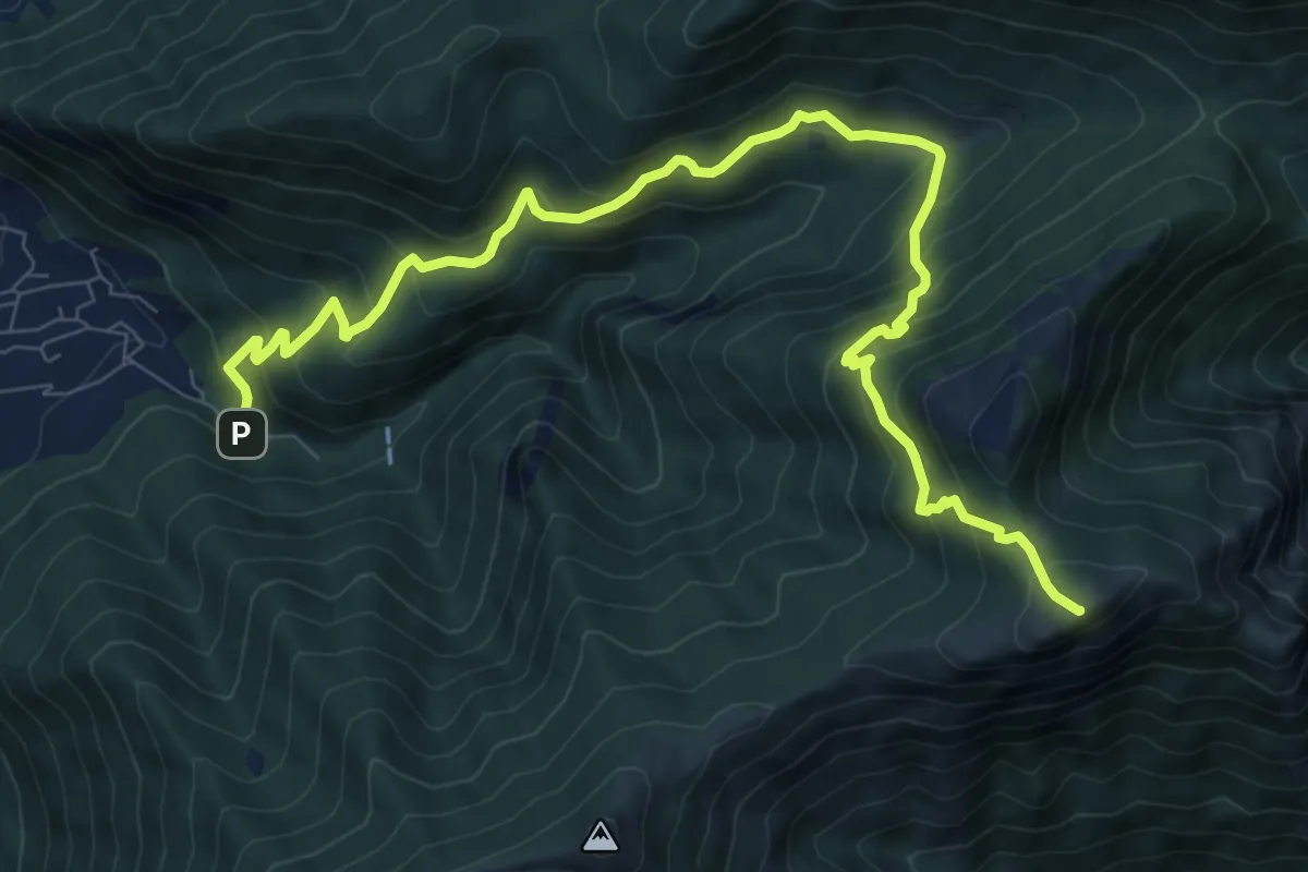
Demanding · Summit
Fonte di Gajum – Pendici del Monte Rai
10.9 km · ↑ 872 m · 4 h 28 min · 12 km away
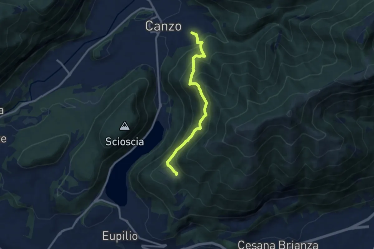
Medium · Trail
Senterun
6.7 km · ↑ 648 m · 2 h 59 min · 12 km away
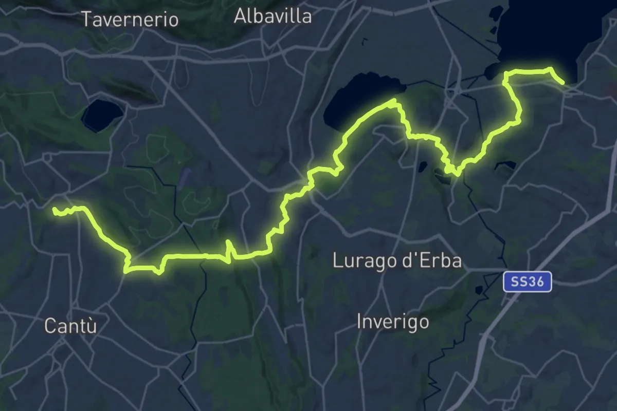
Demanding · Trail
Sentiero Pedemonte - Tappa 2
21.4 km · ↑ 377 m · 6 h 7 min · 12 km away
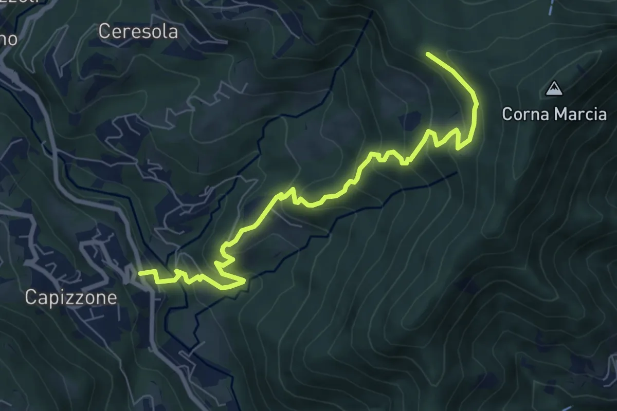
Medium · Trail
Medega (Capizzone) – Passo del Canto
7.9 km · ↑ 565 m · 3 h 5 min · 12 km away
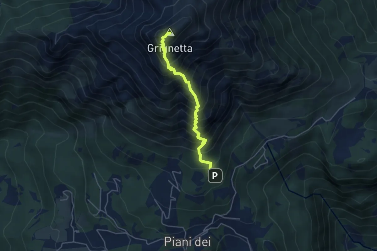
Demanding · Summit
Sentiero Cermenati
3.7 km · ↑ 670 m · 2 h 20 min · 12 km away
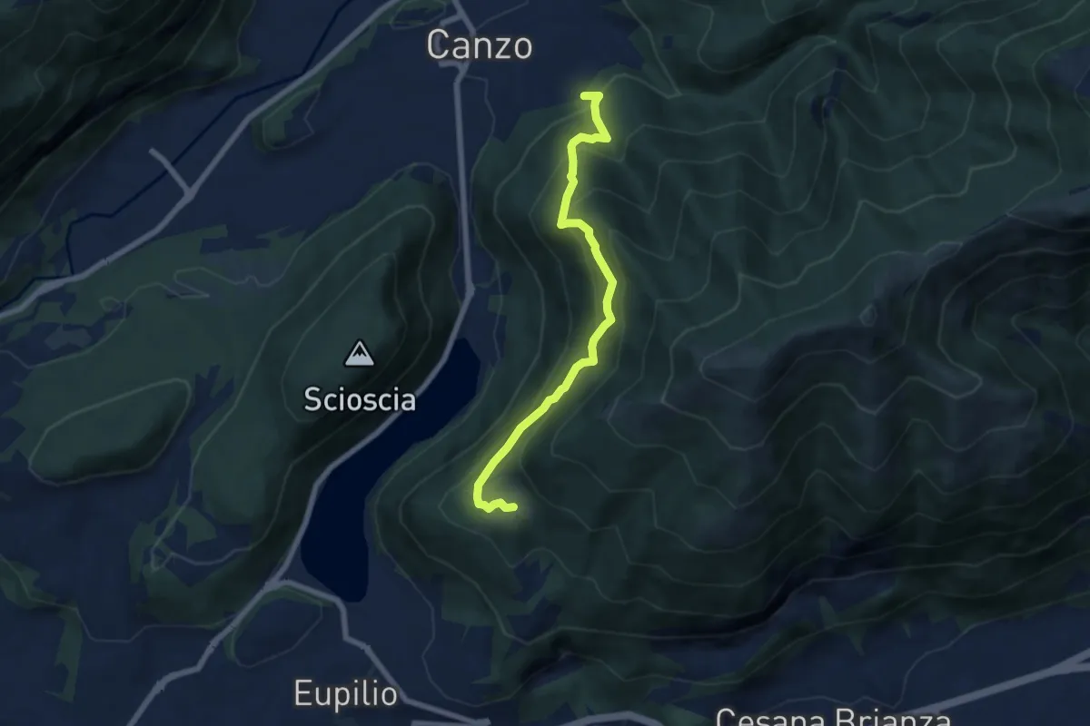
Medium · Trail
Rifugio SEC "Marisa Consigliere" – Alpe di Carella
6.6 km · ↑ 618 m · 2 h 54 min · 12 km away
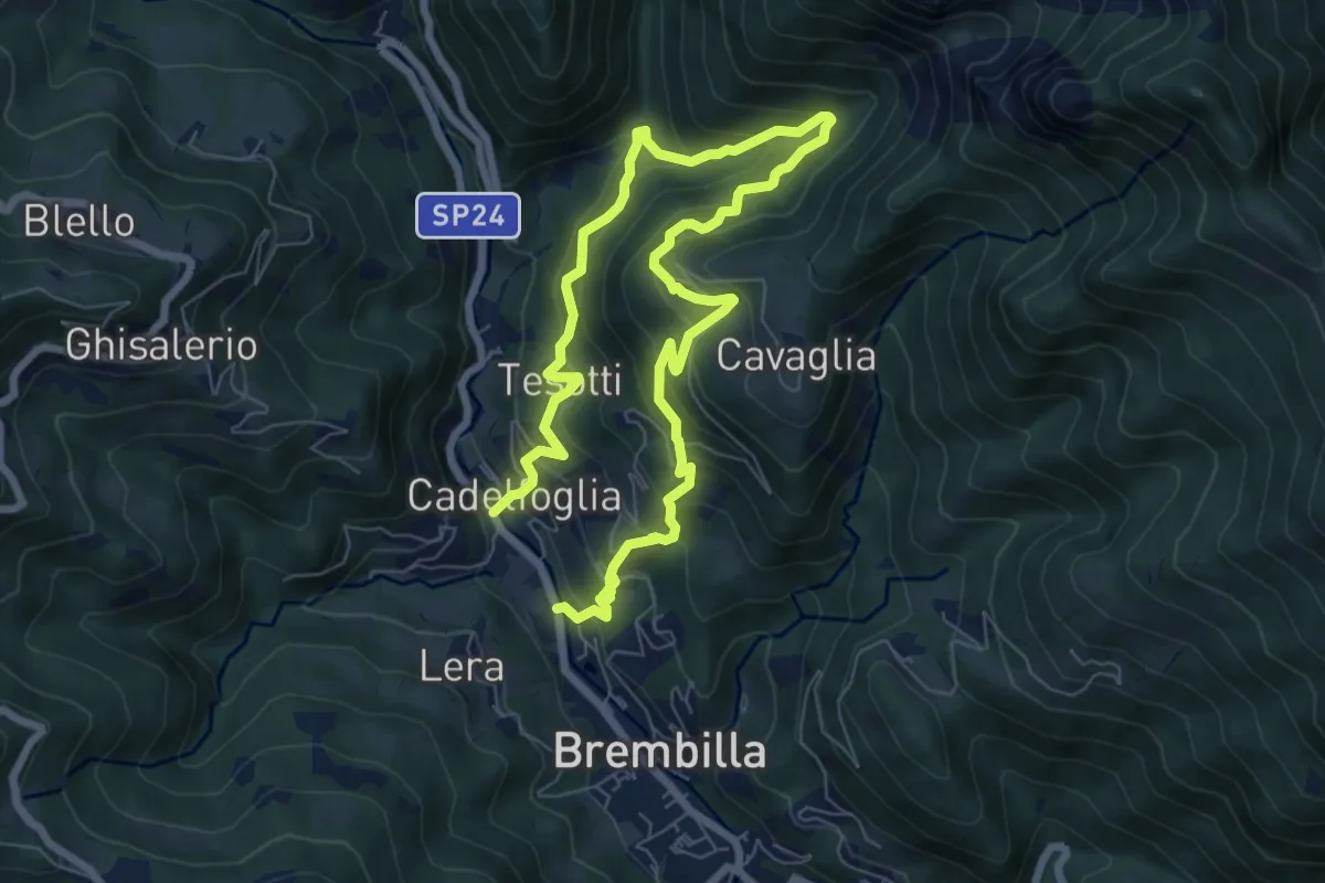
Demanding · Trail
Capreduzzo – Cadelfoglia
11.3 km · ↑ 976 m · 4 h 46 min · 12 km away
Medium · Summit
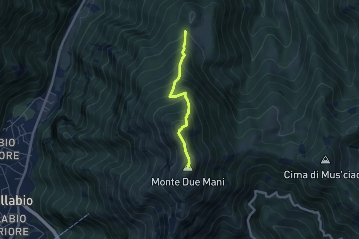
Casera di Bodega – Monte Due Mani
3.8 km · ↑ 424 m · 1 h 49 min · 12 km away
Medium · Summit
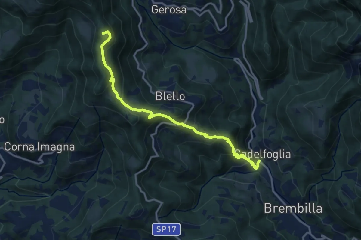
Cadelfoglia – Bocchetta di Piazzacava
9.1 km · ↑ 766 m · 3 h 48 min · 12 km away
Medium · Trail
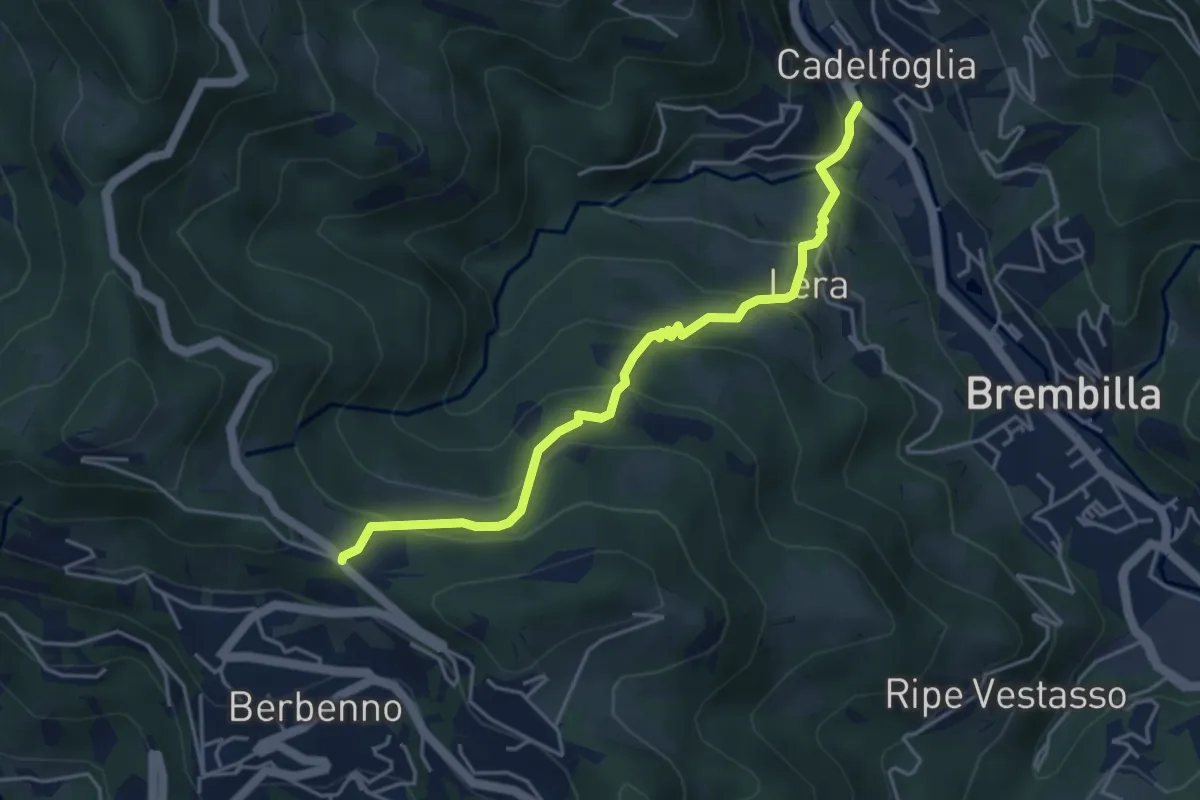
Cadelfoglia – Madonna dell'Assunta (Berbenno)
4.4 km · ↑ 339 m · 1 h 47 min · 12 km away
Medium · Trail
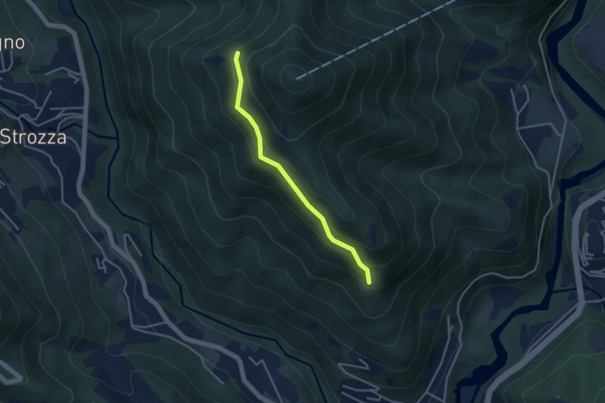
Incrocio 571 – Incrocio 584
2.7 km · ↑ 197 m · 1 h 4 min · 12 km away
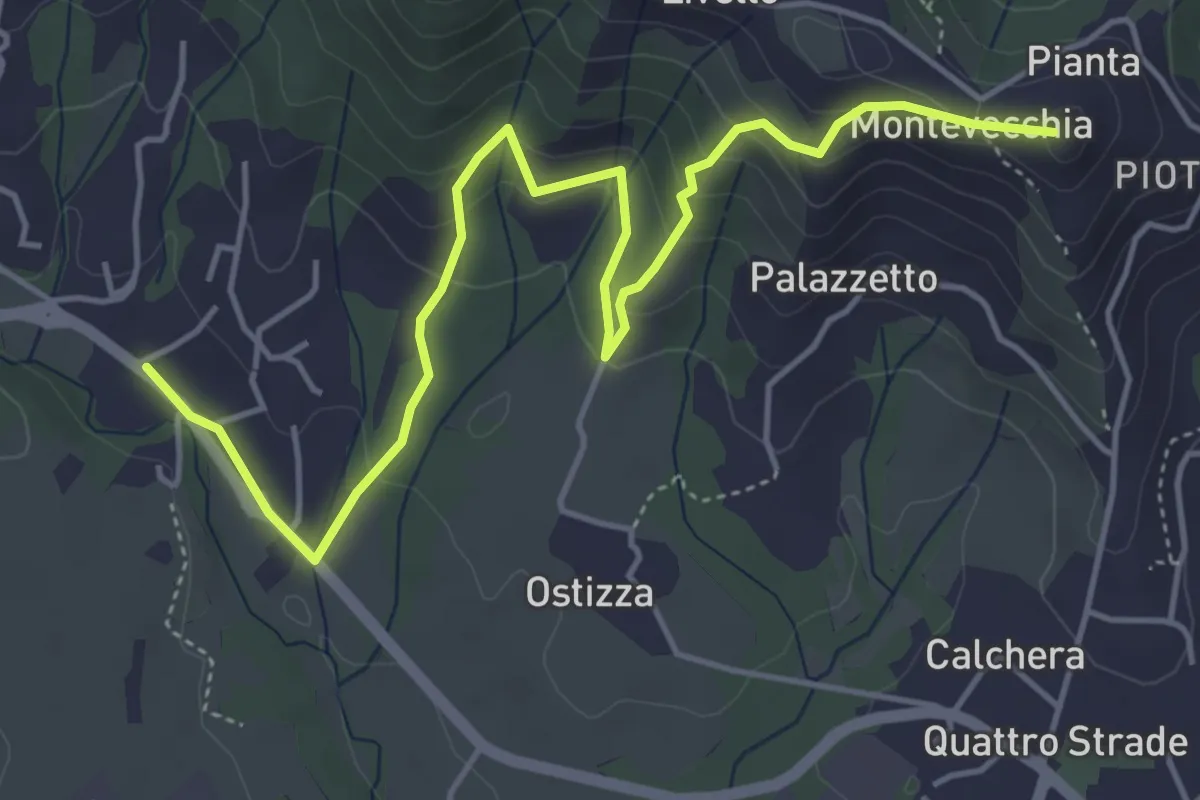
Medium · Summit
Lomaniga – Beolco
5.8 km · ↑ 304 m · 2 h 2 min · 12 km away
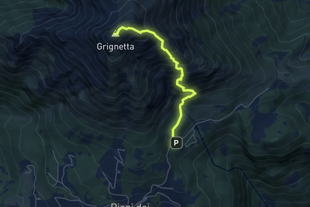
Expert · Summit
Cresta Sinigaglia
4.6 km · ↑ 824 m · 2 h 52 min · 12 km away
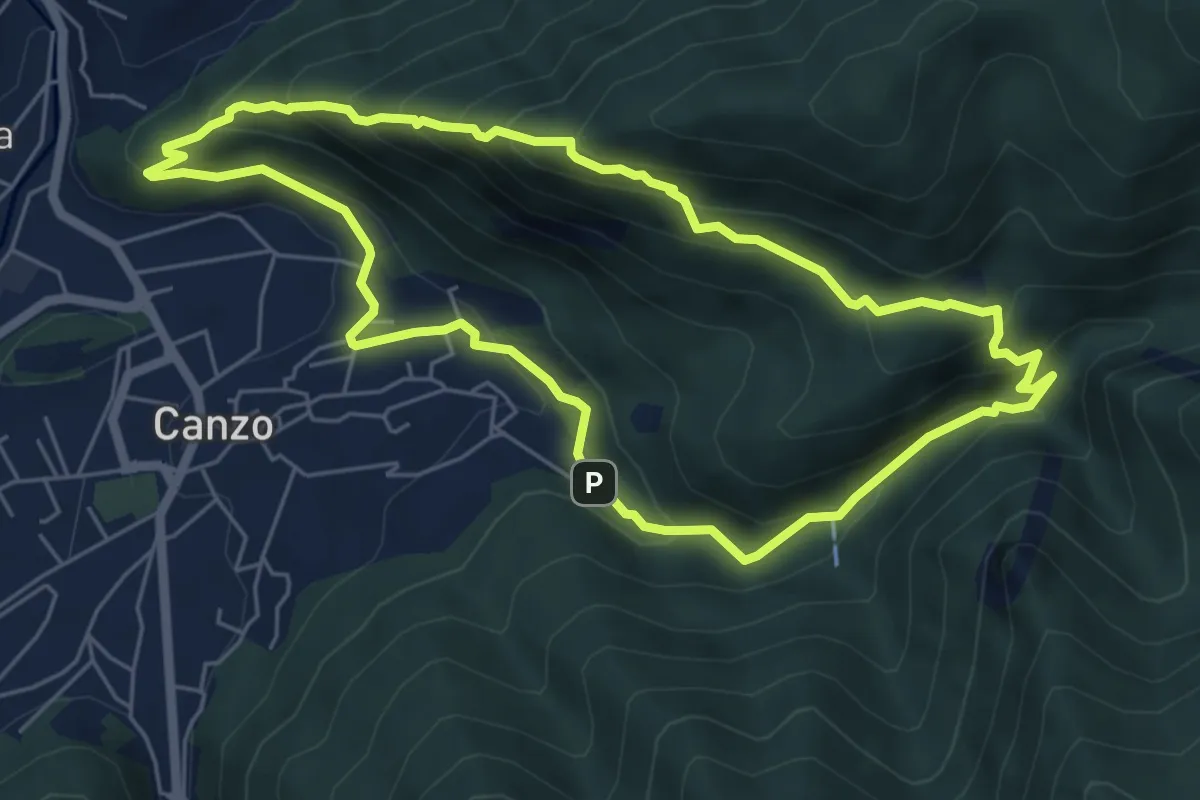
Medium · Trail
Sentiero Naturalistico dello Spaccasassi
5.9 km · ↑ 462 m · 2 h 29 min · 13 km away
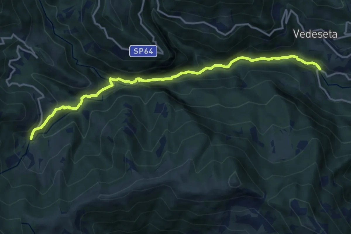
Medium · Trail
Ponte Lavina – Morterone
11.0 km · ↑ 607 m · 3 h 55 min · 13 km away
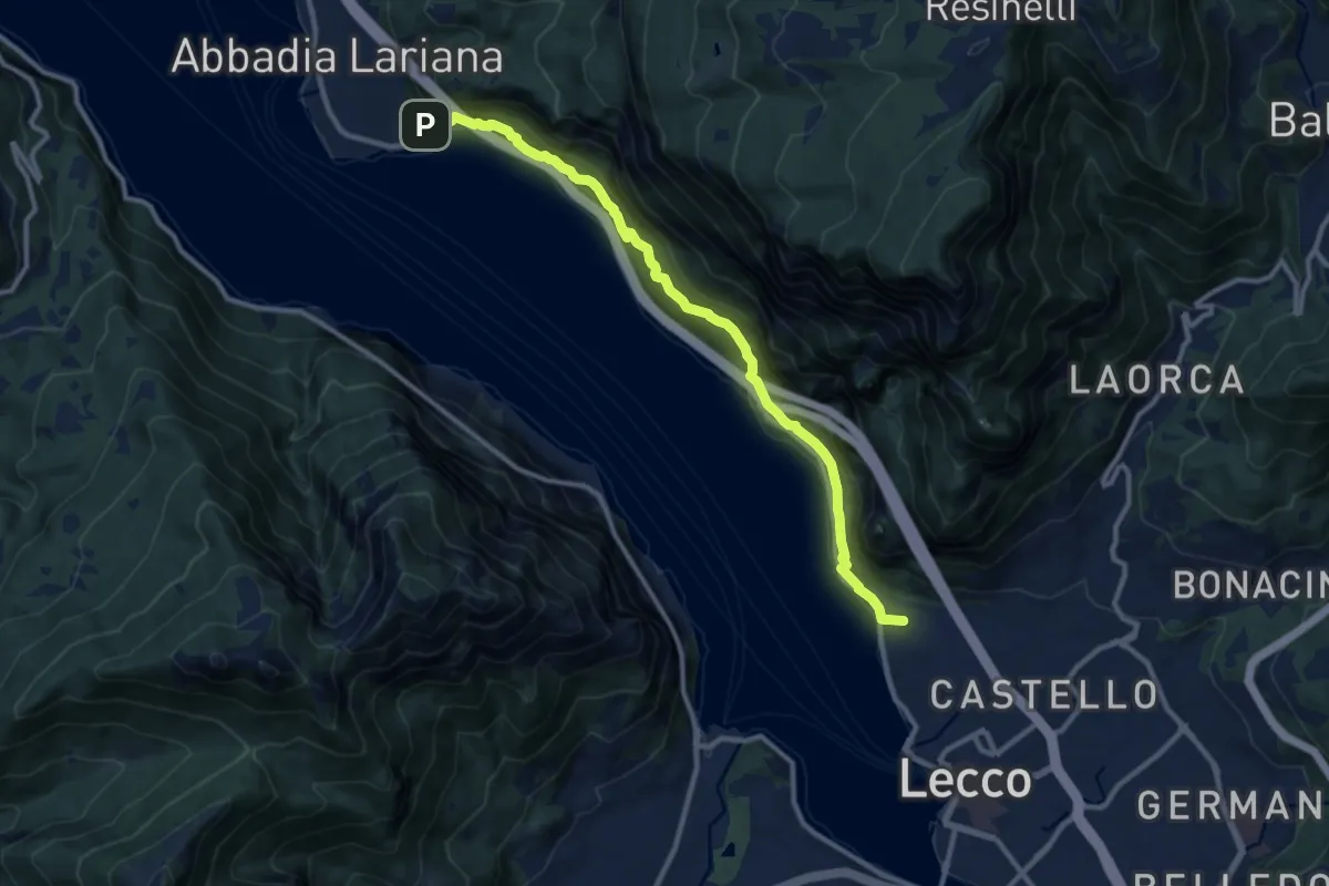
Medium · Summit
Sentiero del Viandante (Lecco - Abbadia Lariana)
11.1 km · ↑ 640 m · 4 h · 13 km away
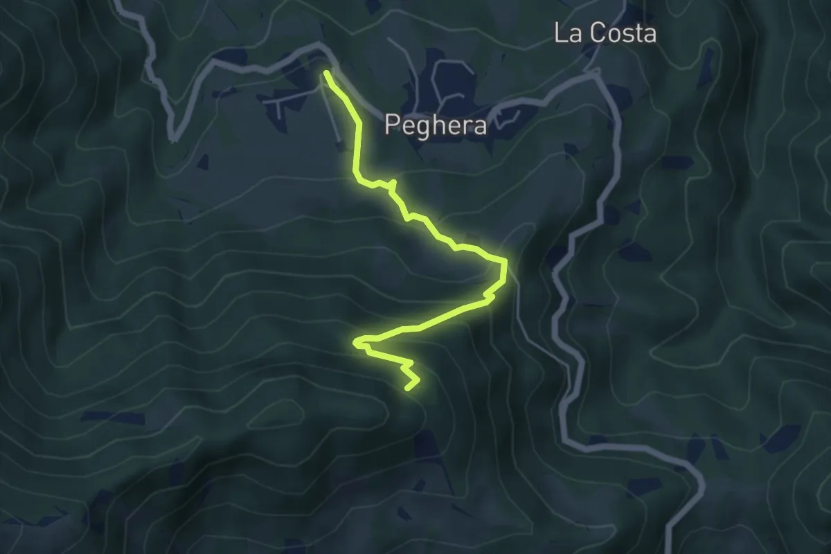
Demanding · Trail
Peghera – Piavigin
4.6 km · ↑ 380 m · 1 h 54 min · 13 km away
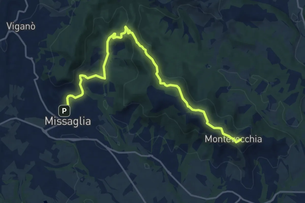
Medium · Summit
Montevecchia – Missaglia
12.8 km · ↑ 341 m · 3 h 45 min · 13 km away
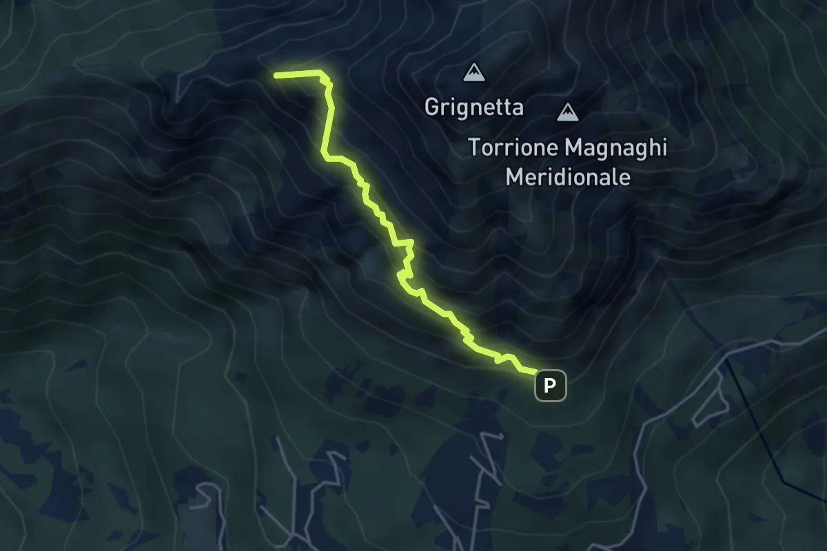
Expert · Summit
Direttissima
3.9 km · ↑ 621 m · 2 h 16 min · 13 km away
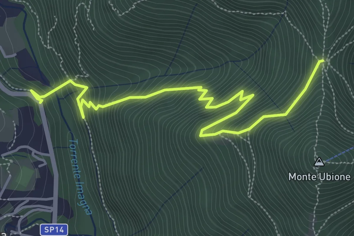
Medium · Trail
Strozza – Roccoli della Passata
4.5 km · ↑ 494 m · 2 h 8 min · 13 km away
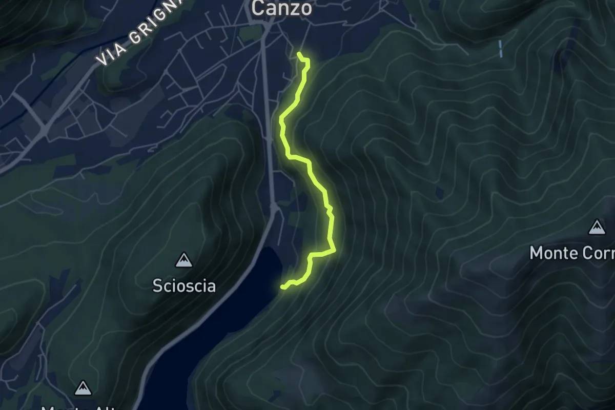
Medium · Trail
Lago del Segrino – Canzo
4.2 km · ↑ 399 m · 1 h 52 min · 13 km away
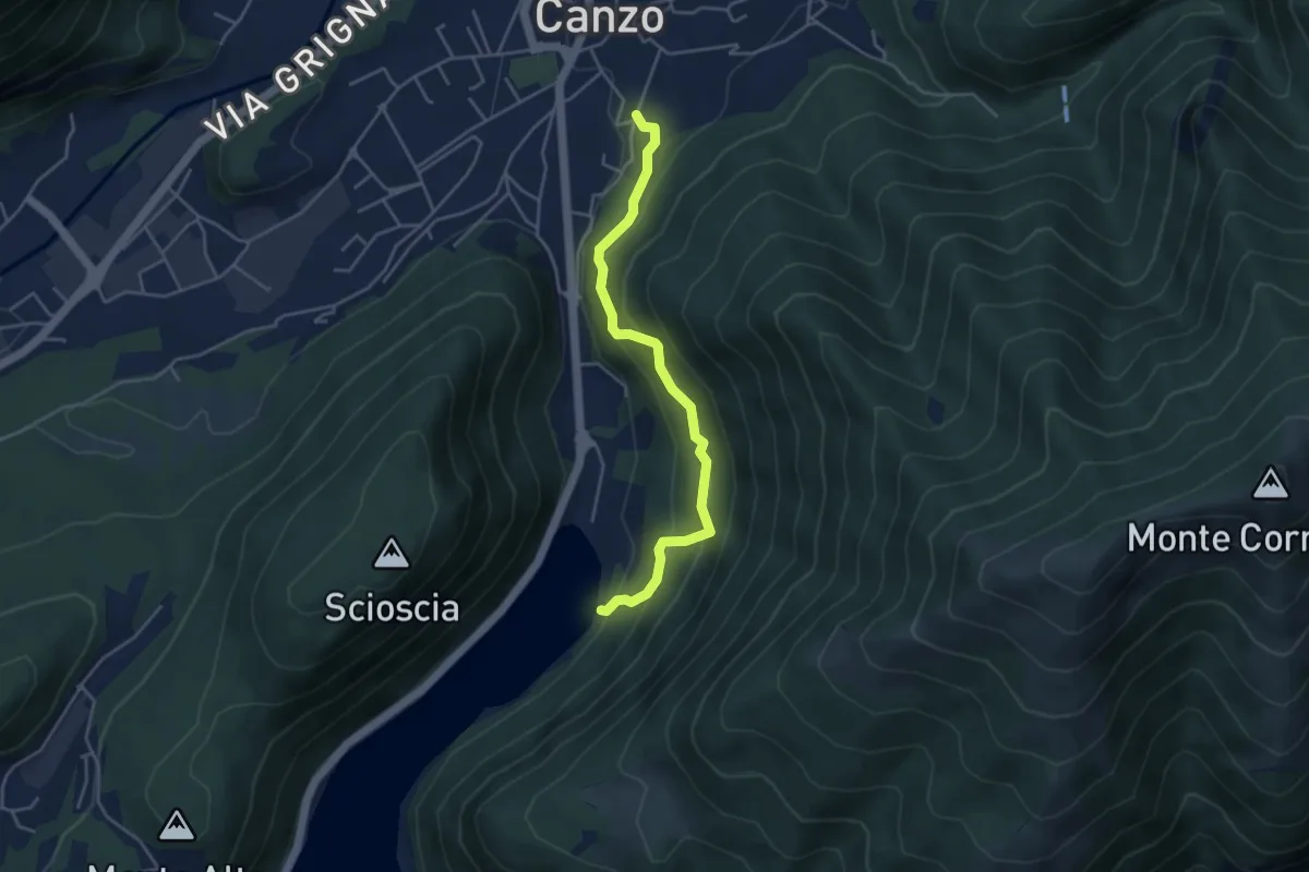
Medium · Trail
Sentiero di Budracch
4.2 km · ↑ 399 m · 1 h 52 min · 13 km away
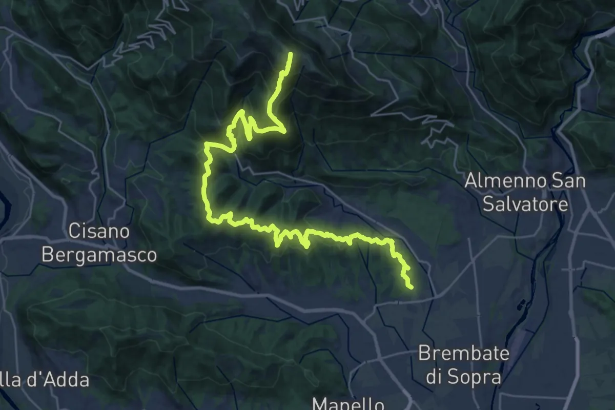
Demanding · Summit
Sentiero del Crinale
30.4 km · ↑ 1770 m · 11 h · 13 km away
Medium · Trail
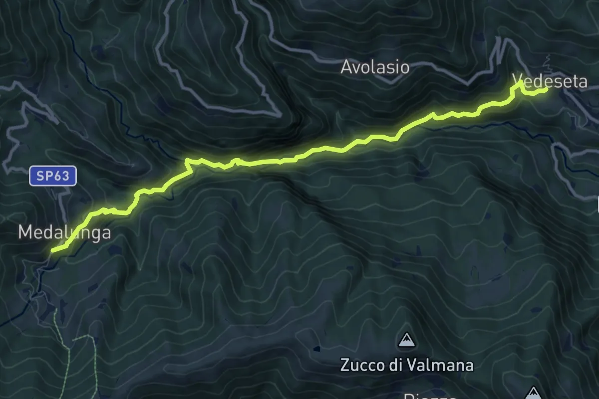
Morterone – Vedeseta
10.8 km · ↑ 671 m · 4 h 1 min · 13 km away
Expert · Summit
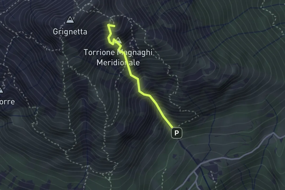
Canalone Porta
2.1 km · ↑ 606 m · 1 h 48 min · 13 km away
Medium · Trail
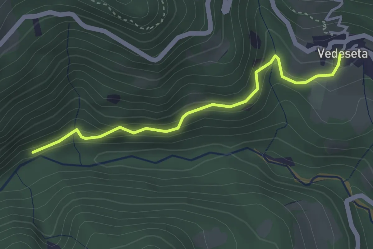
Vedeseta – Incrocio 156
3.1 km · ↑ 197 m · 1 h 9 min · 13 km away
Medium · Trail
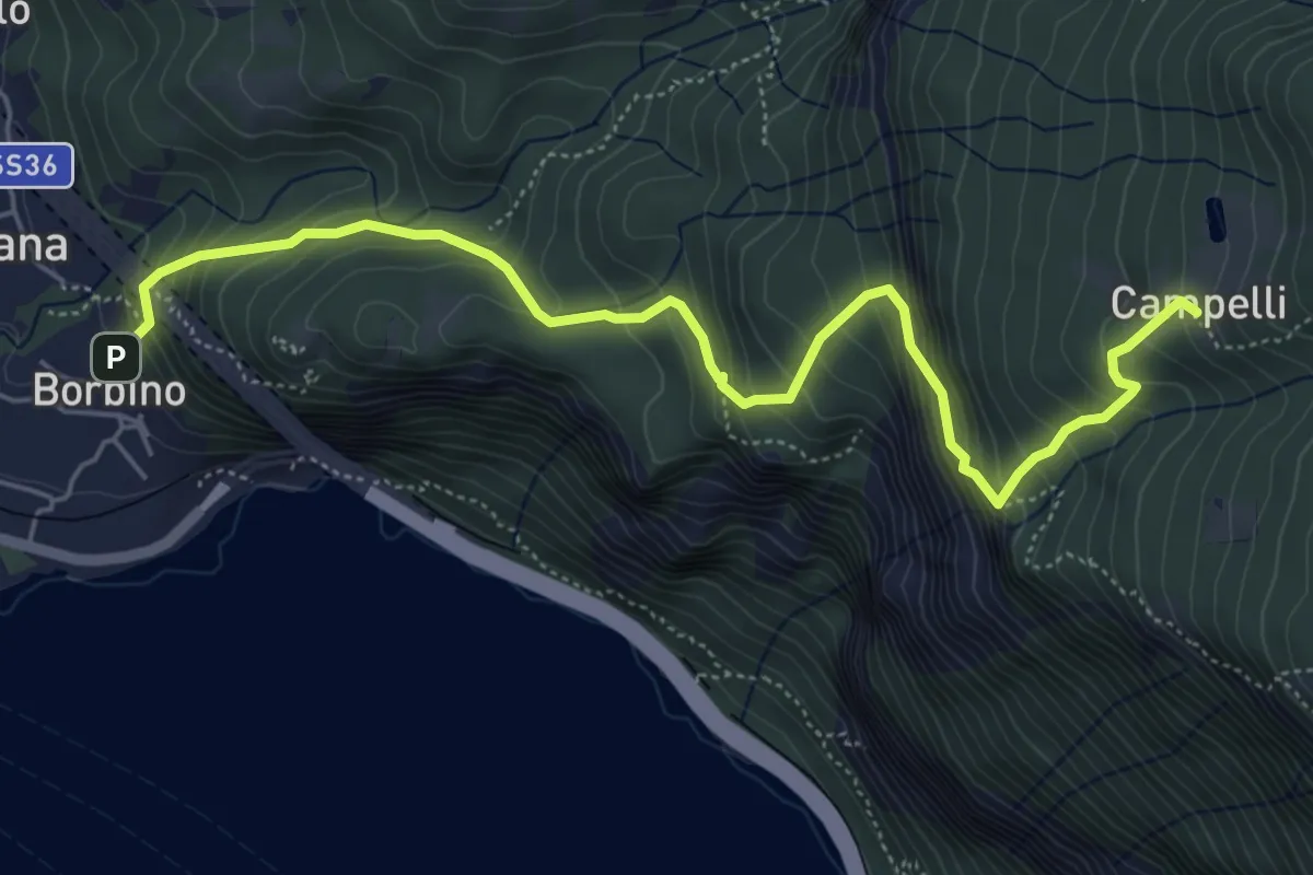
Borbino – Campelli, Chiesa di Santa Maria
6.3 km · ↑ 682 m · 2 h 58 min · 13 km away
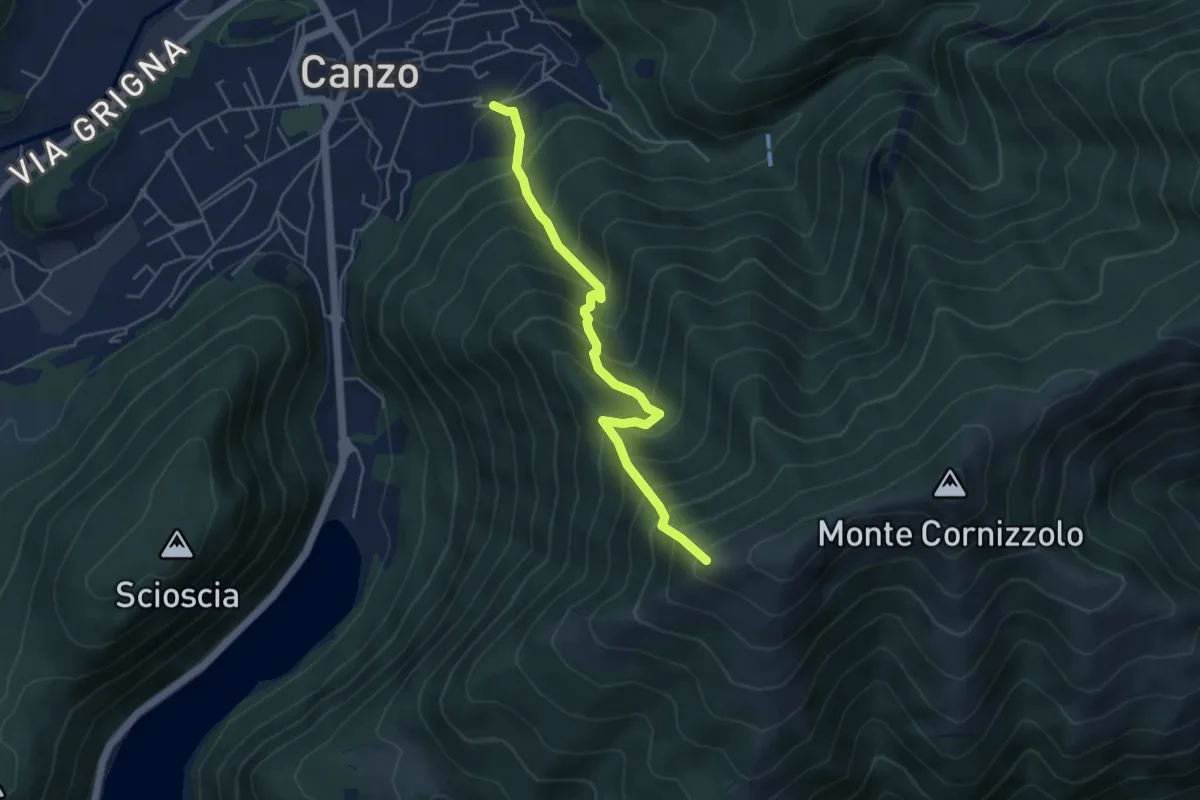
Medium · Trail
Lazzaretto (Canzo) – Monte Pesora
4.7 km · ↑ 667 m · 2 h 34 min · 13 km away
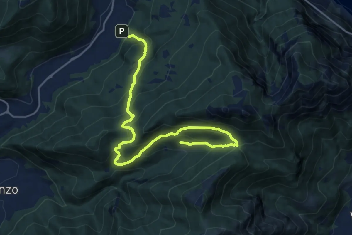
Demanding · Trail
Candalino – Terz'Alpe
13.4 km · ↑ 1138 m · 5 h 37 min · 13 km away
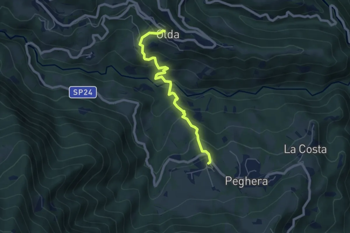
Medium · Trail
Olda – Peghera
5.0 km · ↑ 401 m · 2 h 4 min · 13 km away
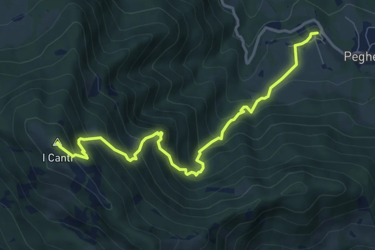
Demanding · Summit
Peghera – I Canti
7.7 km · ↑ 792 m · 3 h 33 min · 13 km away
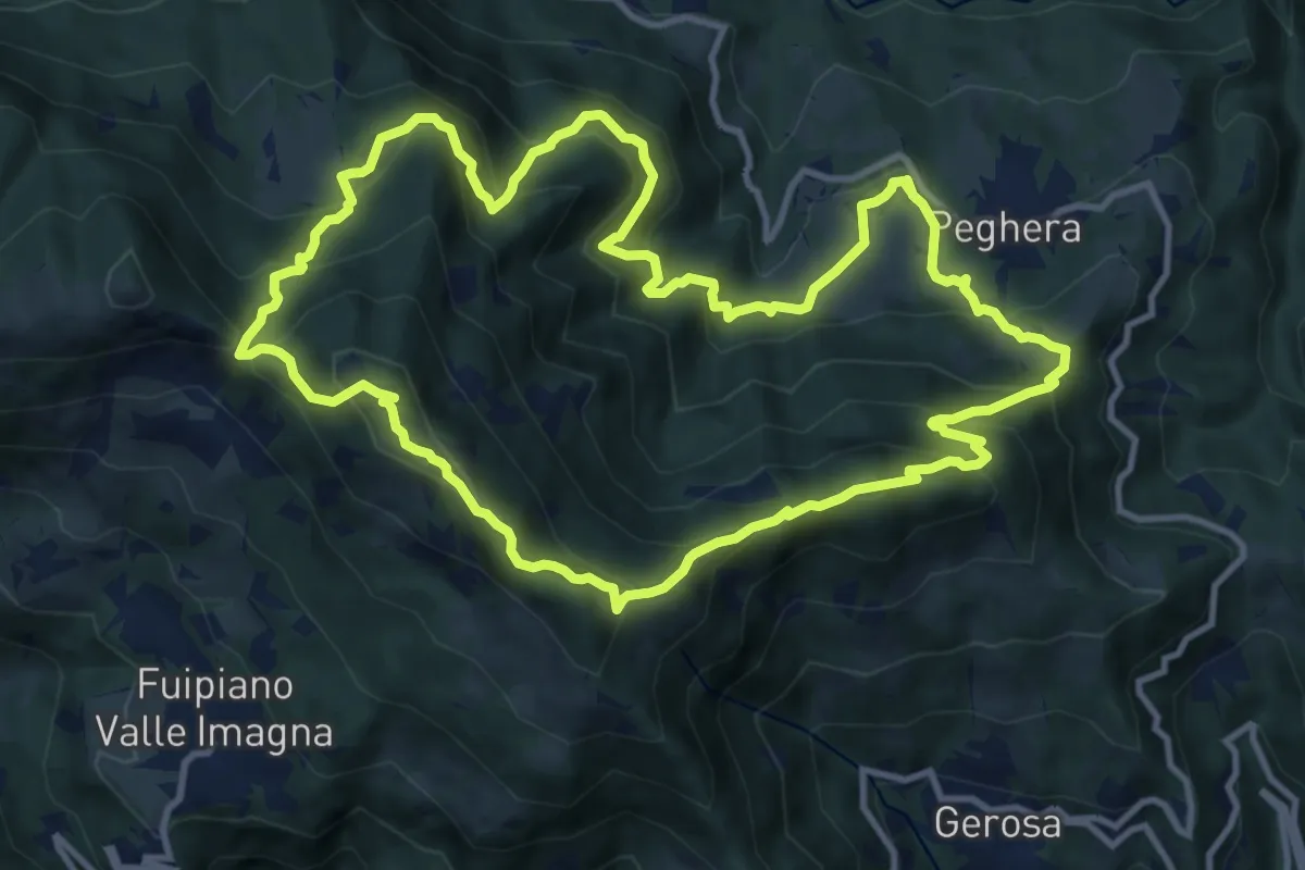
Demanding · Summit
Sentiero della Cultura Casearia - Peghera, luogo di stagionatura
11.9 km · ↑ 901 m · 4 h 56 min · 13 km away
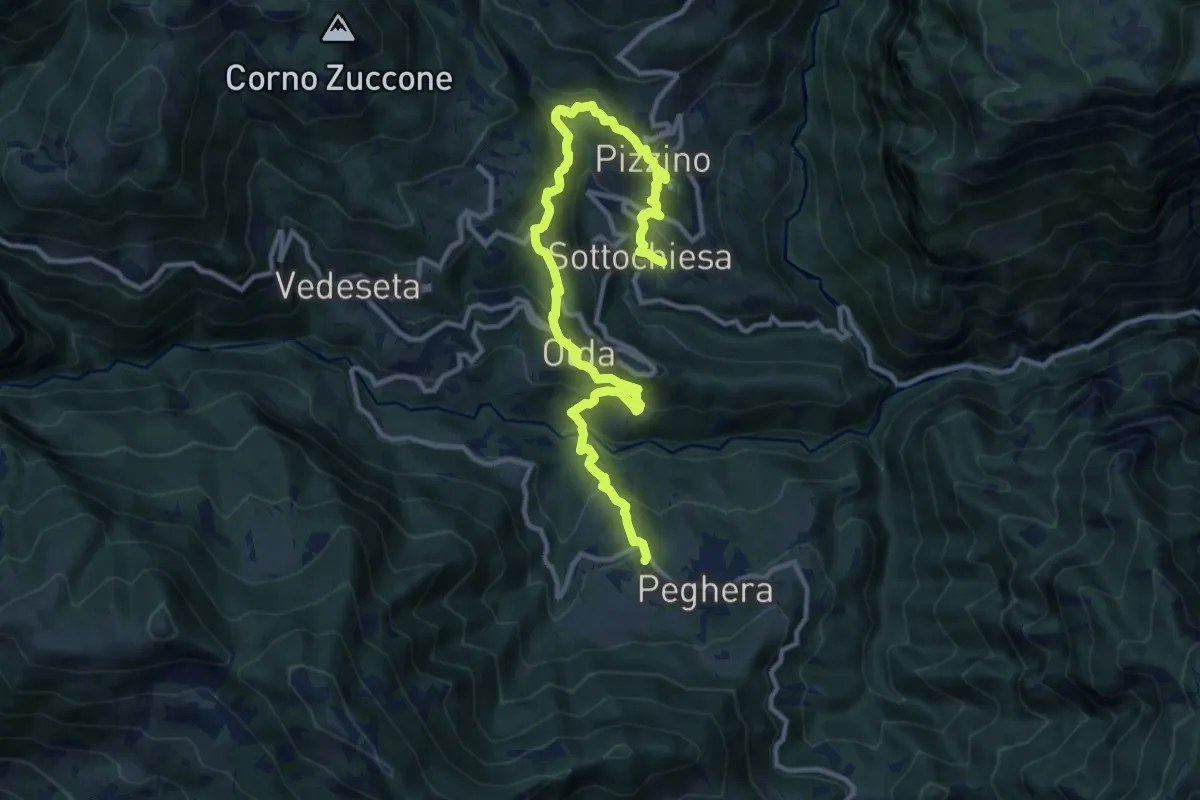
Demanding · Trail
Sentiero dei Laghi Basso - Tappa 4
13.8 km · ↑ 884 m · 5 h 10 min · 13 km away
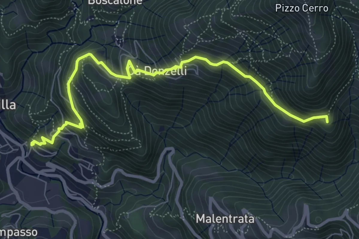
Medium · Summit
Brembilla – Catremerio
7.1 km · ↑ 585 m · 2 h 57 min · 13 km away
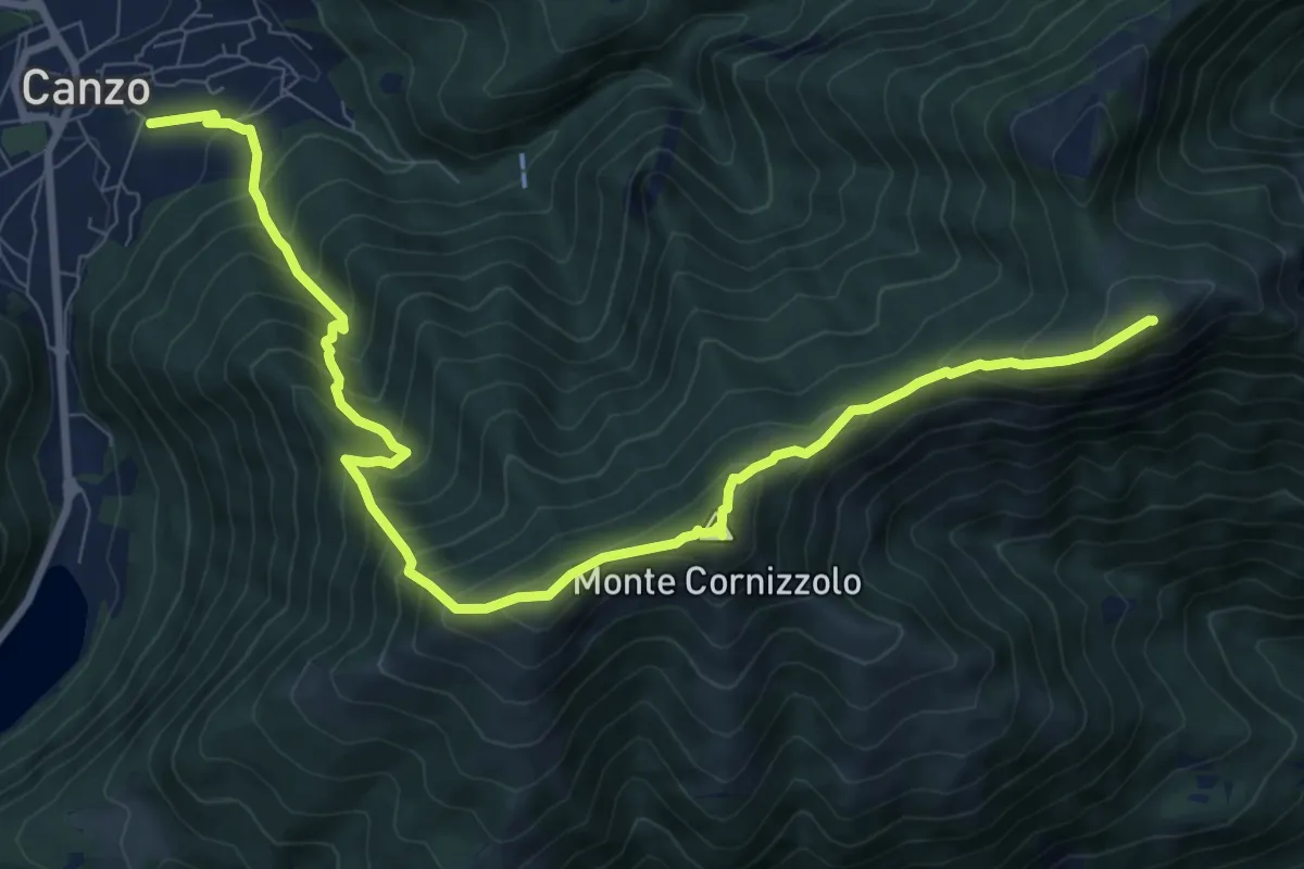
Demanding · Summit
Chiesa di San Francesco (Canzo) – La Colma (Rifugio Marisa Consiglieri)
11.0 km · ↑ 1087 m · 4 h 58 min · 13 km away
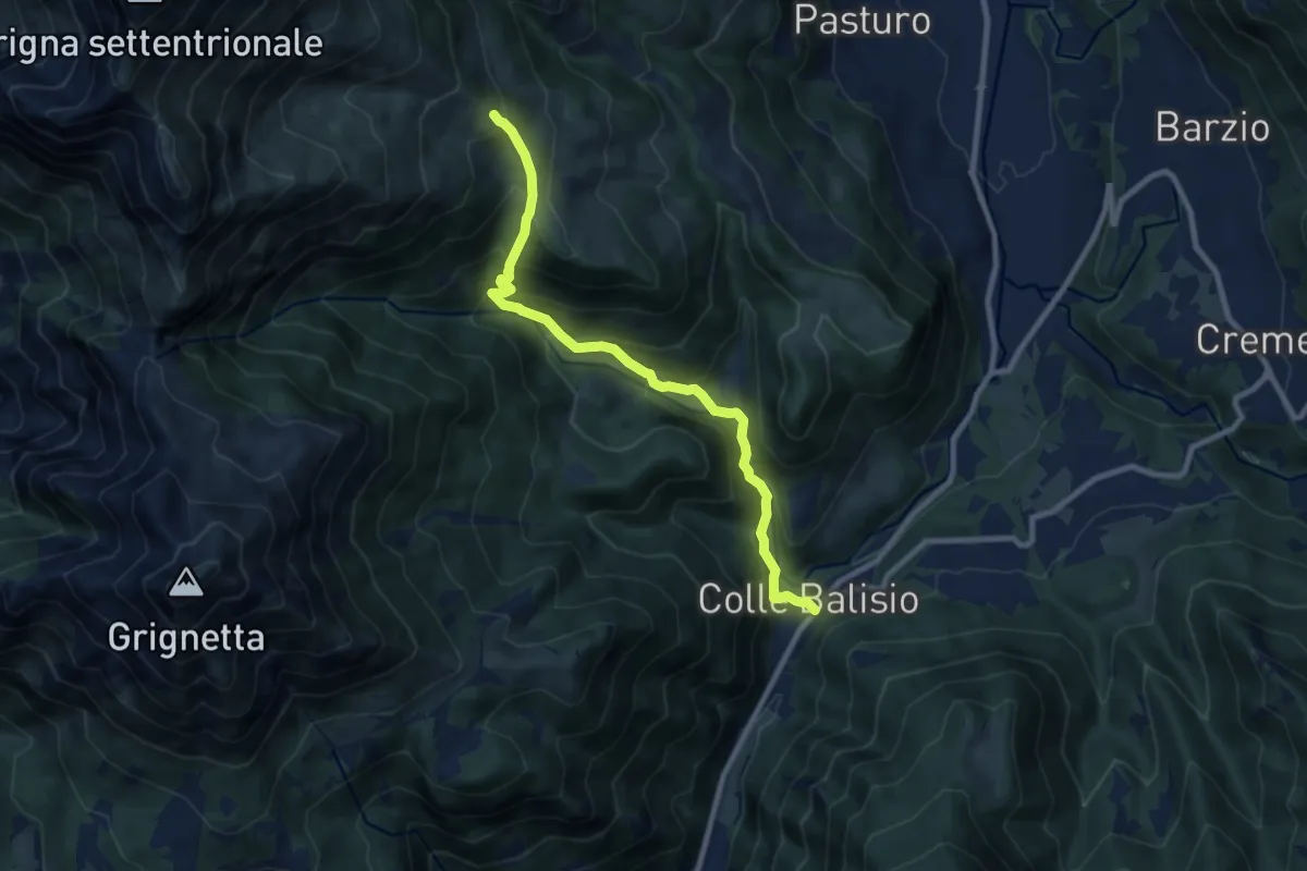
Medium · Trail
Balisio - Pialeral
9.0 km · ↑ 697 m · 3 h 38 min · 13 km away
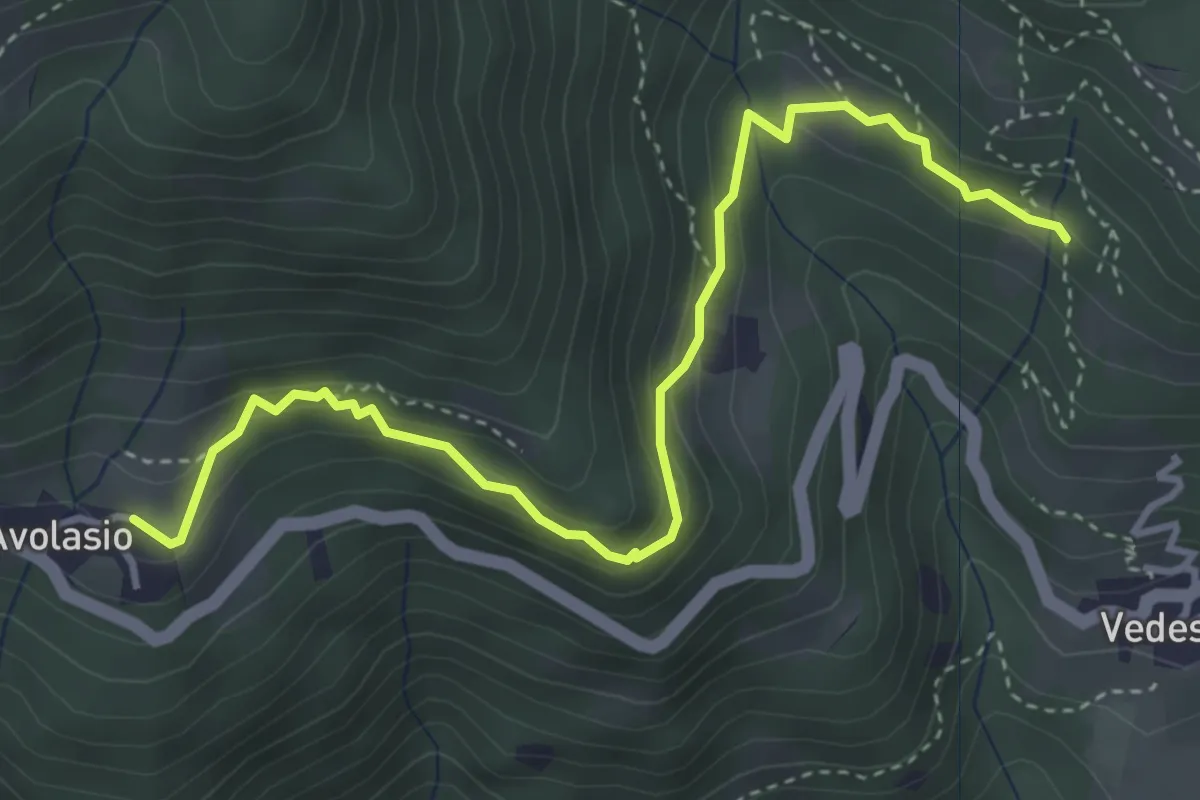
Medium · Trail
Avolasio – Salguggia (incrocio 152A)
4.4 km · ↑ 241 m · 1 h 33 min · 13 km away
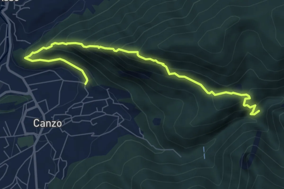
Medium · Trail
Ca' Bianca (Canzo) – Sentiero Geologico (San Miro)
7.2 km · ↑ 697 m · 3 h 12 min · 13 km away
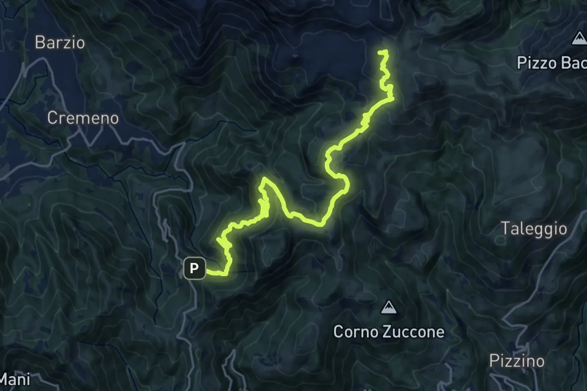
Demanding · Cabin
Campuscedo – Rifugio Cazzaniga-Merlini
19.7 km · ↑ 1105 m · 7 h 2 min · 13 km away
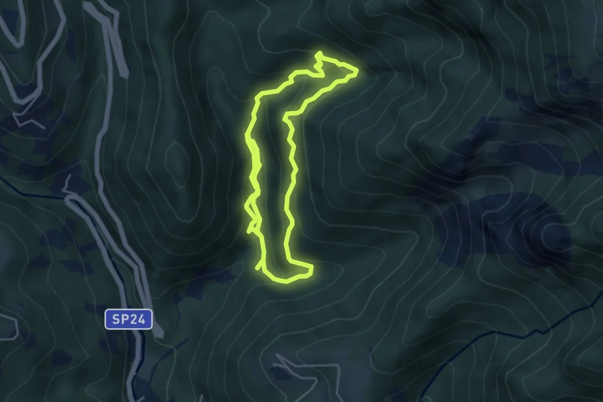
Medium · Trail
Itinerario delle Calchere
7.6 km · ↑ 589 m · 3 h 4 min · 13 km away
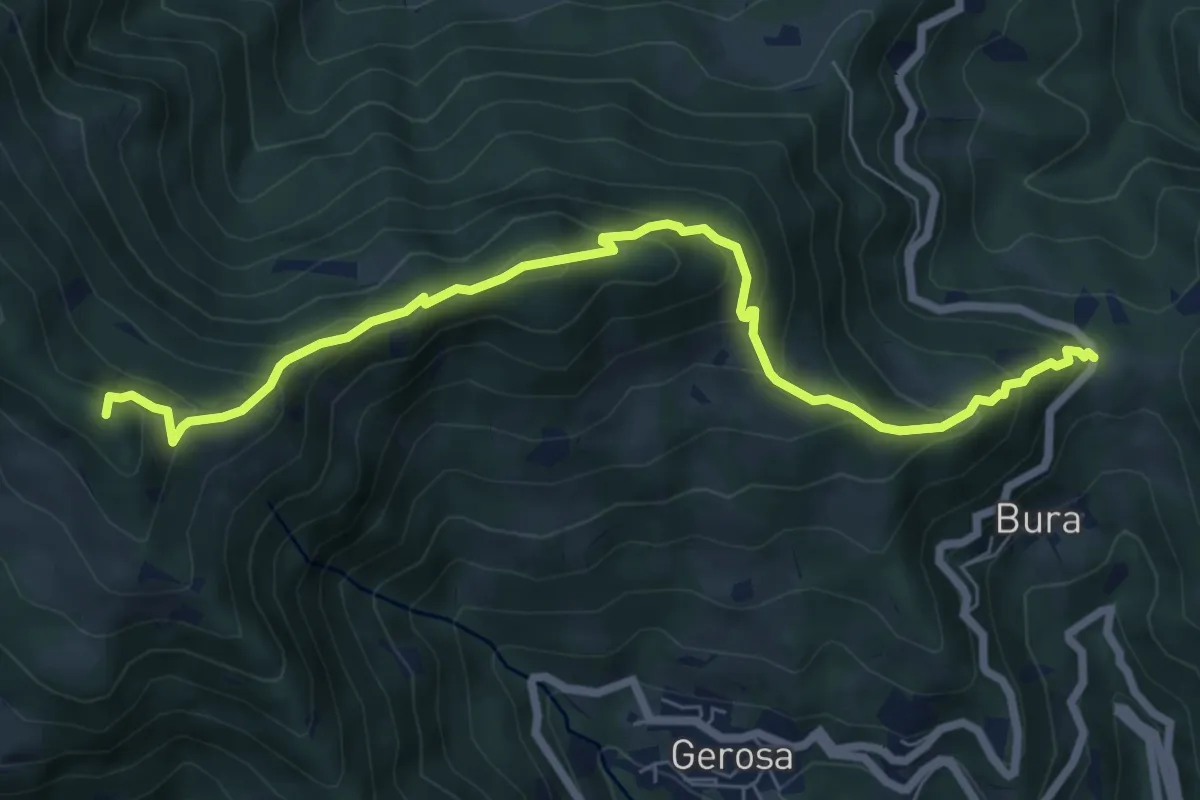
Medium · Summit
Forcella di Bura – Zucco di Pralongone
7.6 km · ↑ 602 m · 3 h 6 min · 13 km away
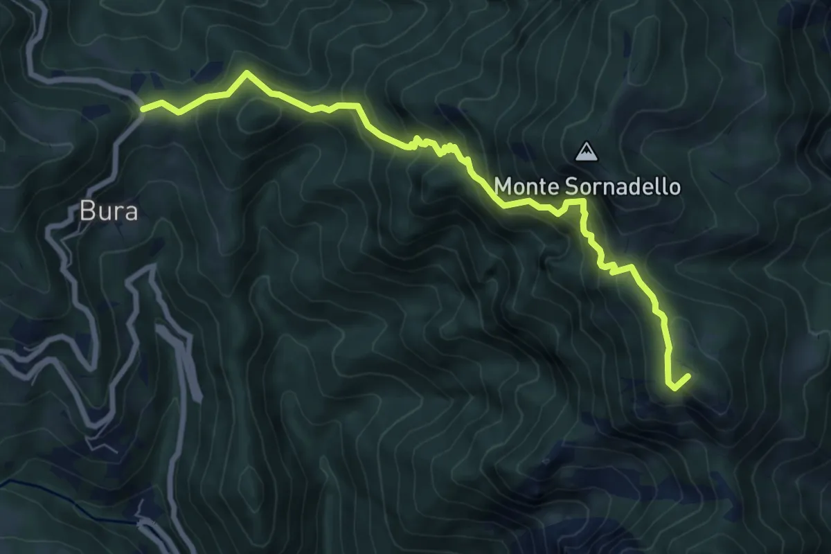
Demanding · Summit
Catremerio (Brembilla) – Forcella di Bura
7.7 km · ↑ 849 m · 3 h 40 min · 13 km away
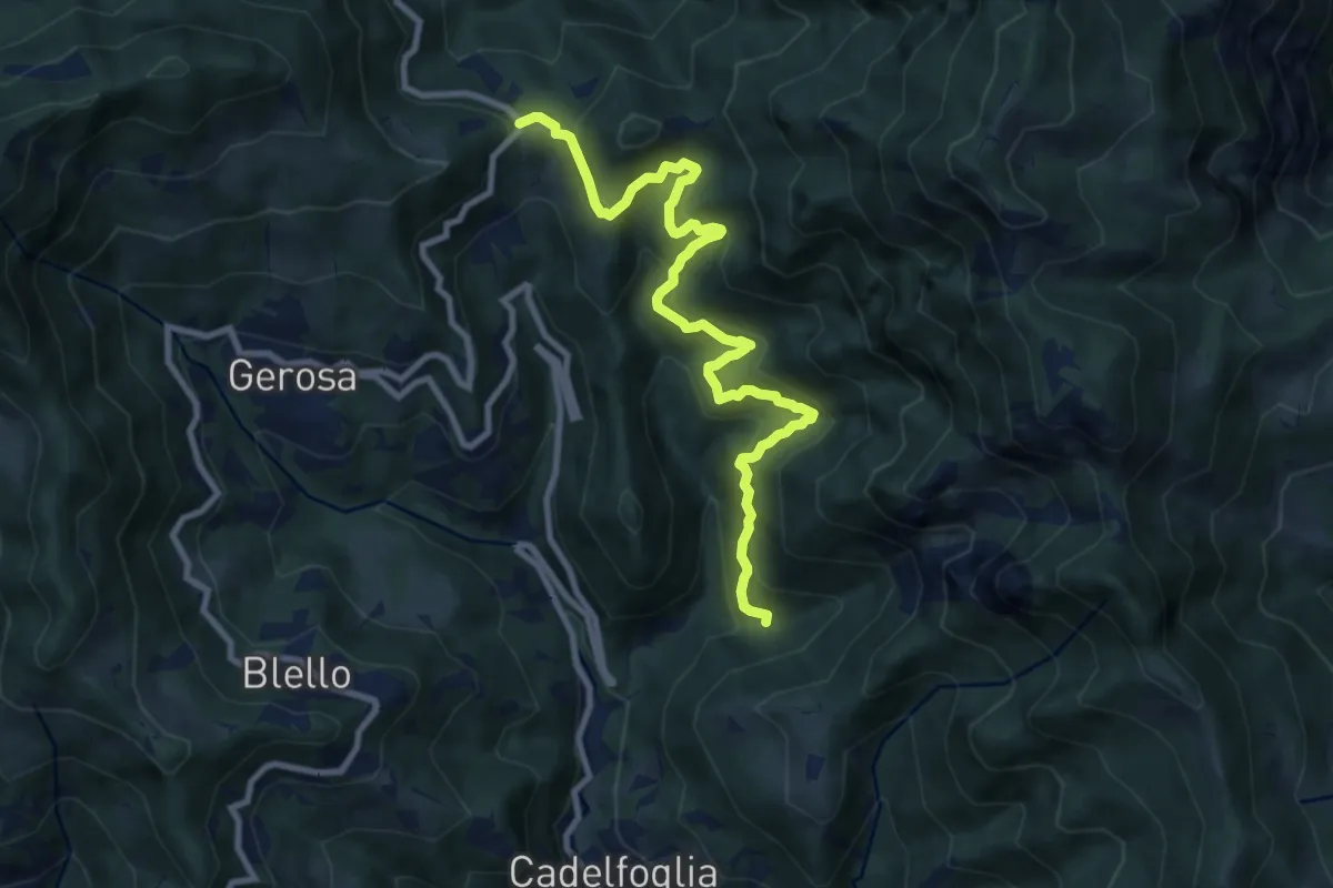
Medium · Trail
Incrocio 592C – Forcella di Bura
9.9 km · ↑ 766 m · 4 h · 13 km away
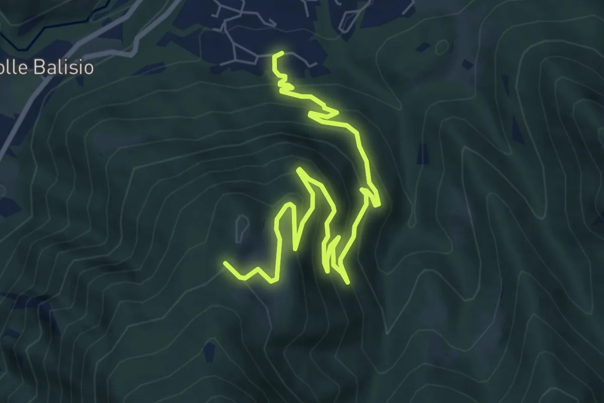
Medium · Trail
Casere di Maggio – La Foppa
8.4 km · ↑ 555 m · 3 h 11 min · 13 km away
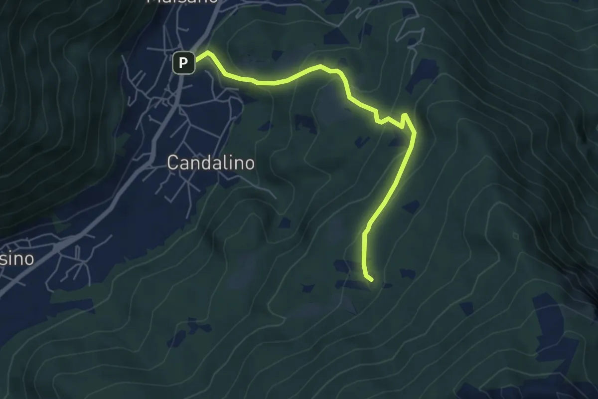
Medium · Trail
Osigo (Valbrona) – Valcerrina
5.4 km · ↑ 323 m · 1 h 58 min · 14 km away
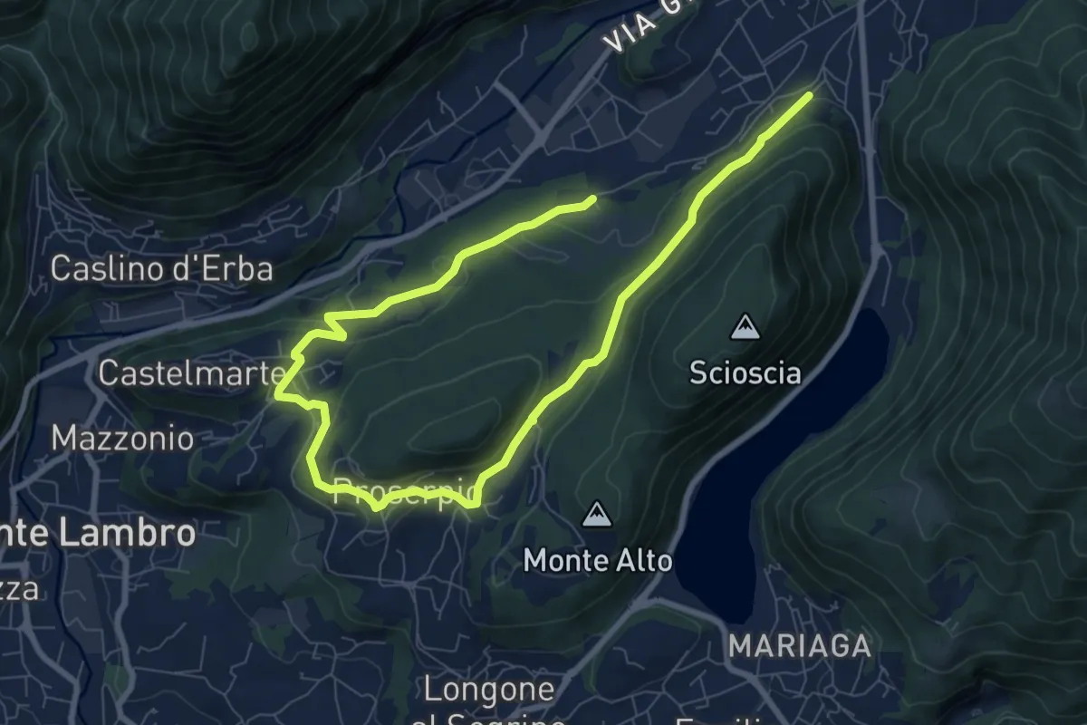
Medium · Trail
Canzo – C.na Emilia (Castelmarte)
12.0 km · ↑ 306 m · 3 h 30 min · 14 km away
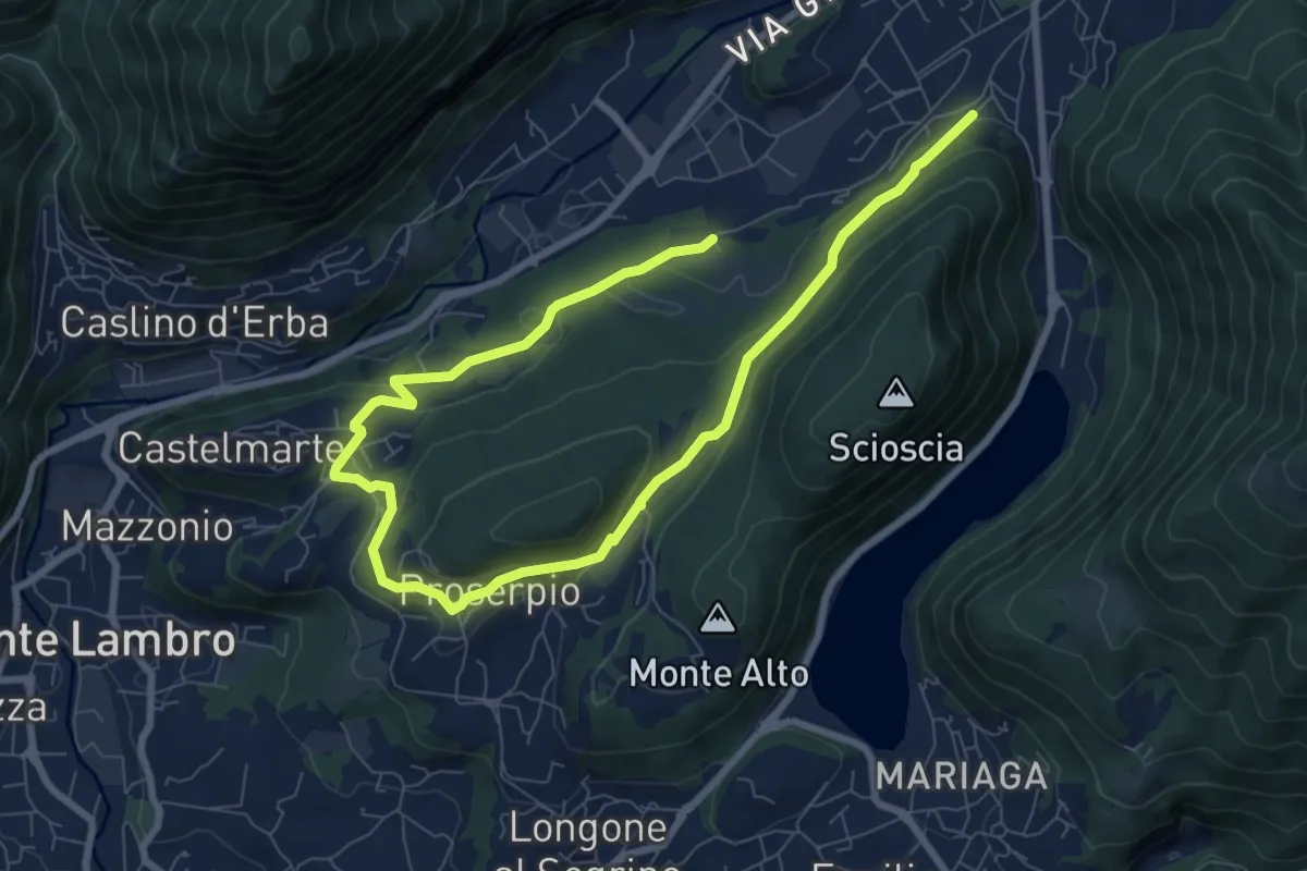
Medium · Trail
Canzo – C.na Emilia (Castelmarte)
11.8 km · ↑ 289 m · 3 h 24 min · 14 km away