Trails near Calolziocorte
330 hikes starting within 15 km, nearest first.
Nearest first, page 7 of 7
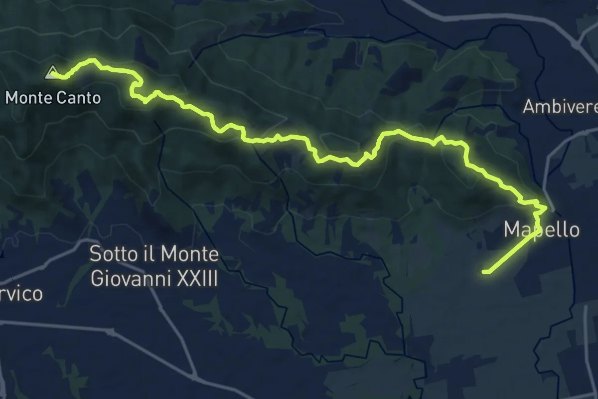
Medium · Summit
Mapello – Villa d'Adda (traghetto)
15.0 km · ↑ 666 m · 4 h 59 min · 14 km away
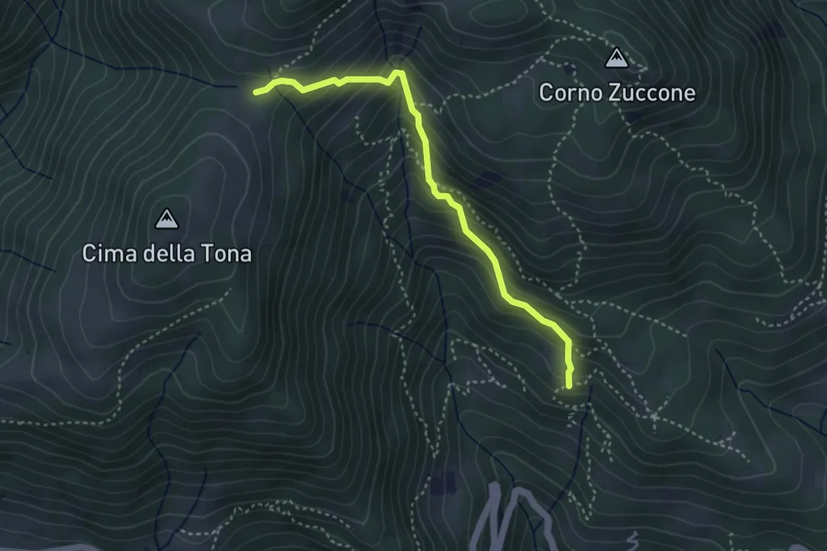
Medium · Trail
Baita Zucai (incrocio 152A) – Passo della Sella
3.5 km · ↑ 363 m · 1 h 36 min · 14 km away
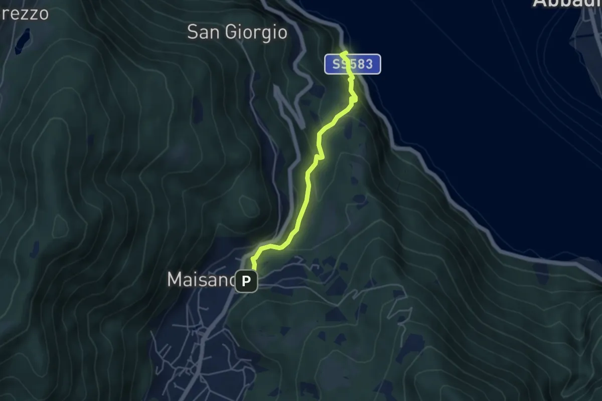
Demanding · Trail
Caprante – San Rocco (Valbrona)
4.0 km · ↑ 284 m · 1 h 34 min · 14 km away
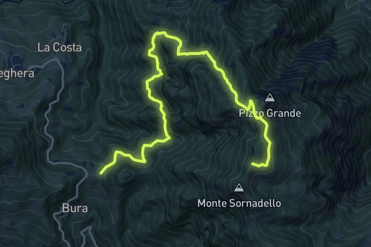
Demanding · Trail
Forcella di Bura – Passo Mercante del Ferro
13.2 km · ↑ 1150 m · 5 h 36 min · 14 km away
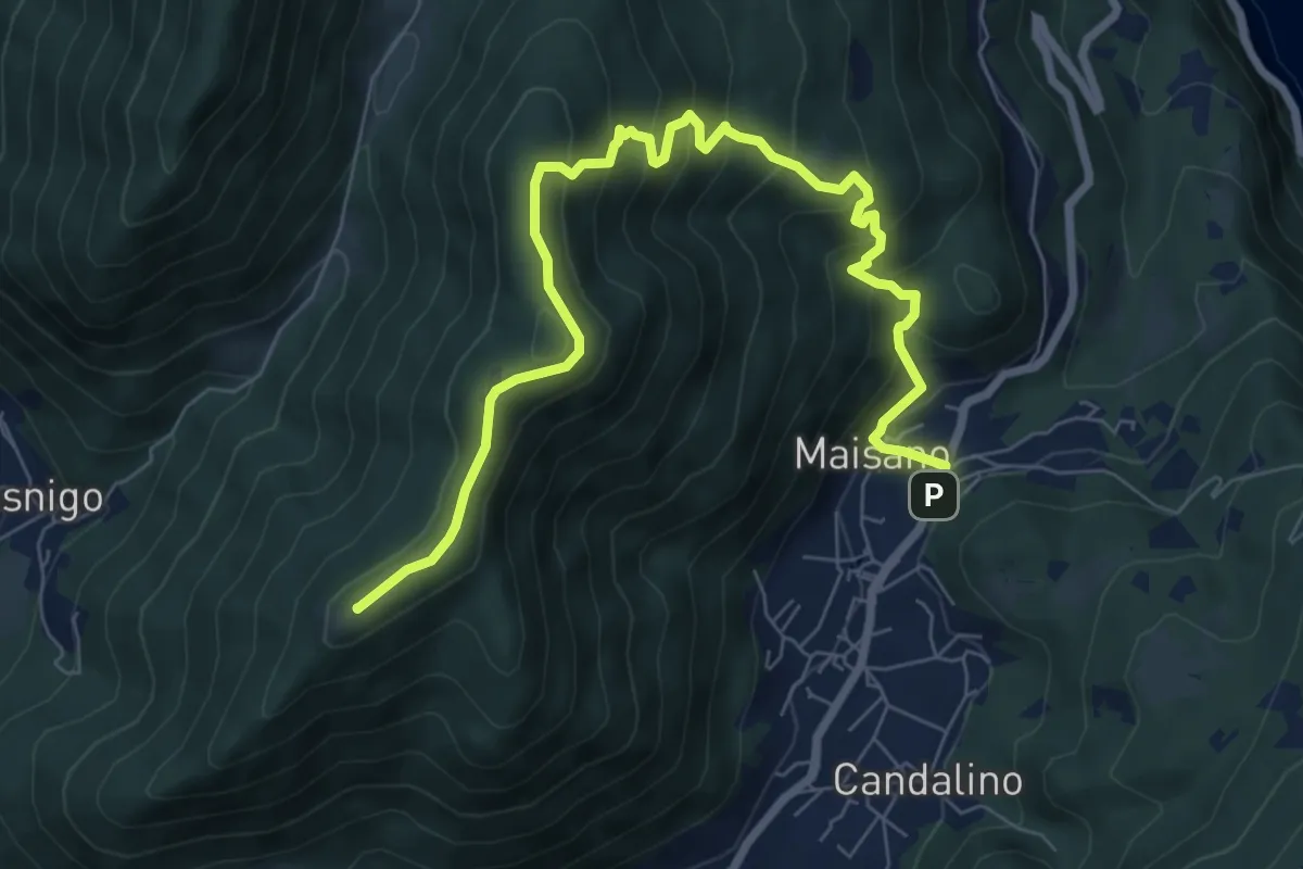
Medium · Summit
Valbrona - Maisano – Monte Megna
9.1 km · ↑ 626 m · 3 h 30 min · 14 km away
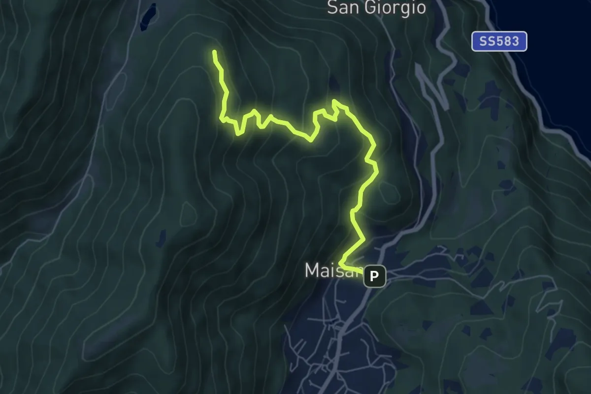
Medium · Trail
San Rocco (Valbrona) – Alpe di Piano
6.6 km · ↑ 472 m · 2 h 35 min · 14 km away
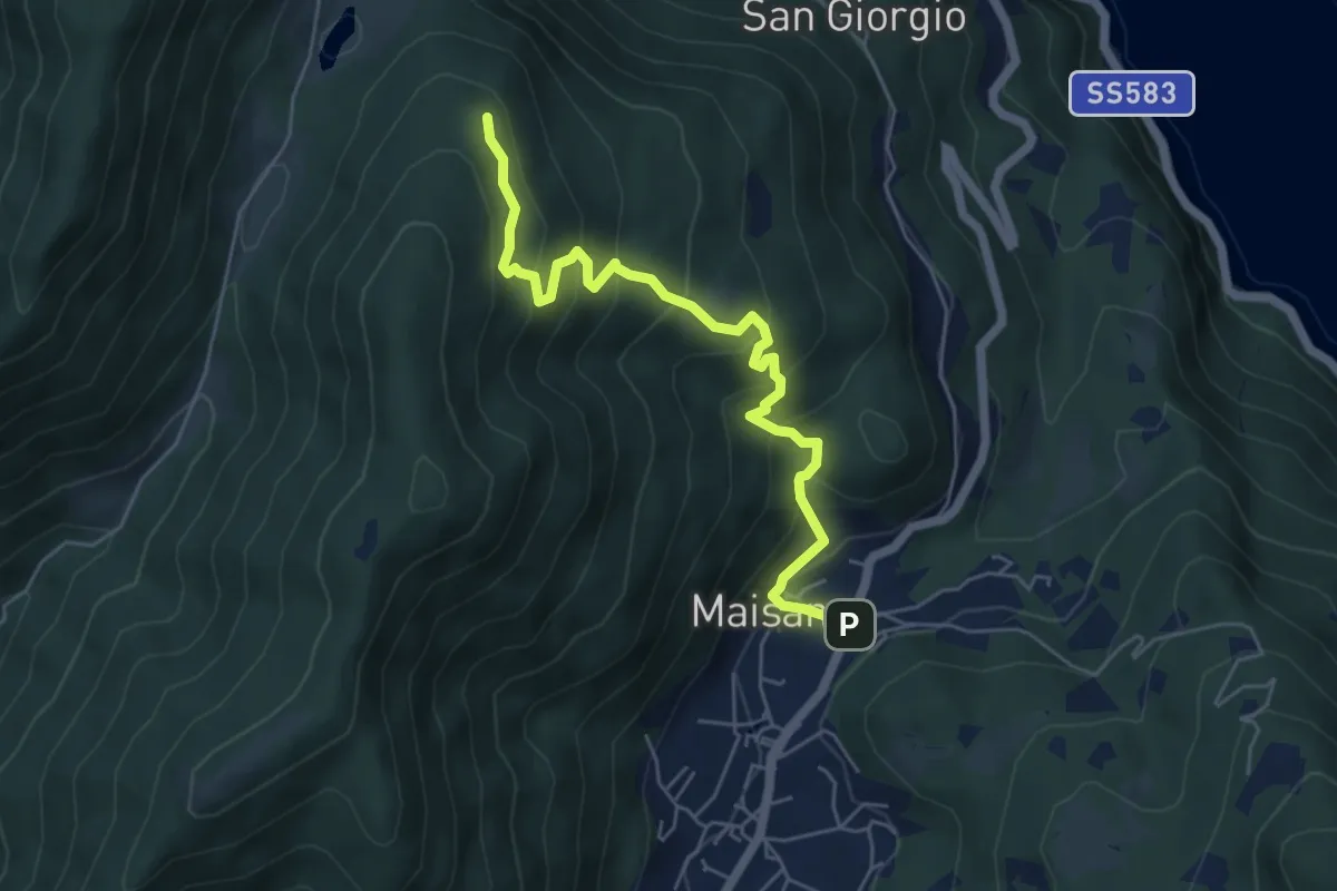
Medium · Trail
San Rocco (Valbrona) – Alpe di Piano
5.8 km · ↑ 478 m · 2 h 24 min · 14 km away
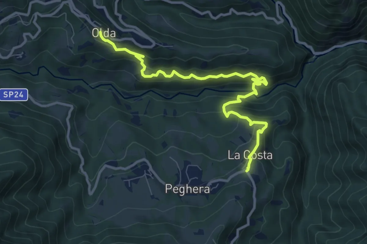
Medium · Trail
Olda – Costa di Peghera
8.9 km · ↑ 653 m · 3 h 31 min · 14 km away
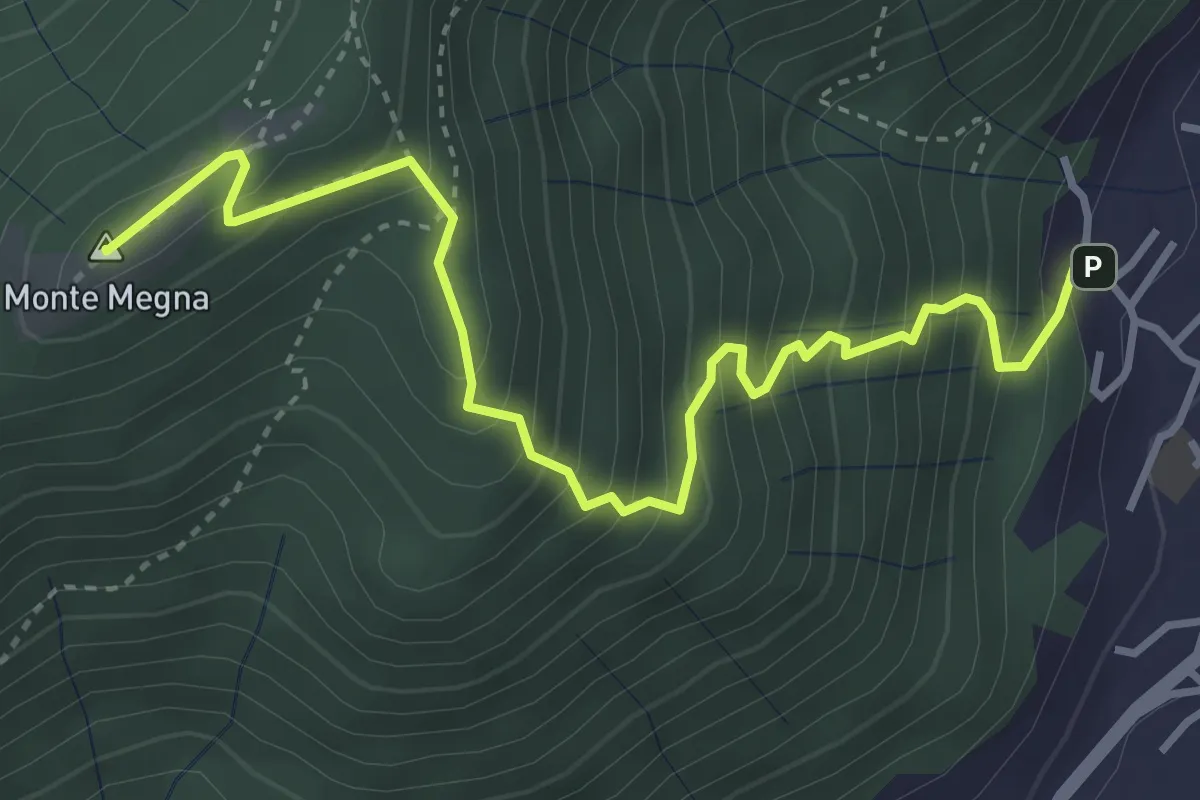
Demanding · Summit
Erta del Giubileo
4.3 km · ↑ 483 m · 2 h 3 min · 14 km away
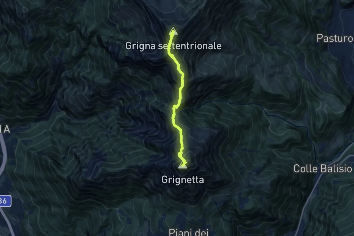
Expert · Summit
Traversata Alta delle Grigne
9.0 km · ↑ 1038 m · 4 h 22 min · 14 km away
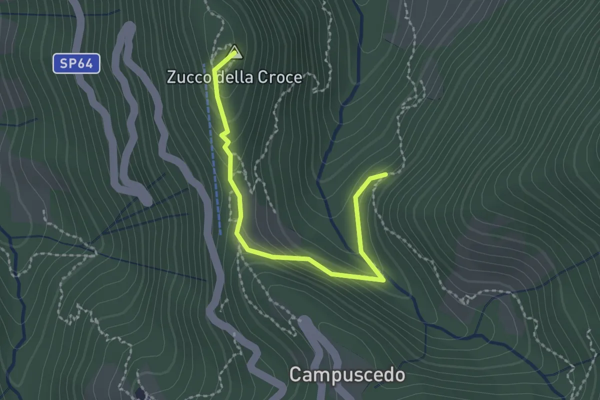
Medium · Summit
Baite Francetto – Rifugio Zucco della Croce
2.1 km · ↑ 115 m · 45 min · 14 km away
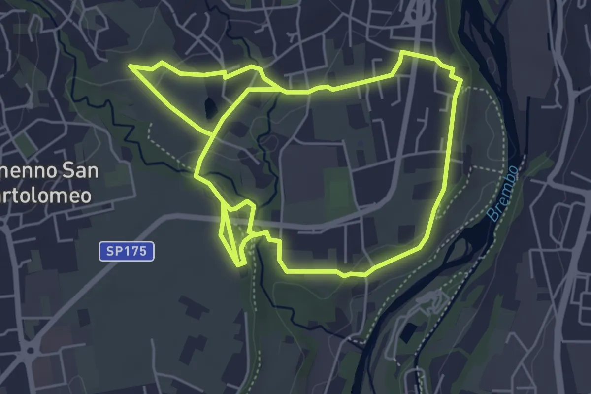
Medium · Trail
Sentiero del Romanico
10.5 km · ↑ 131 m · 2 h 45 min · 14 km away
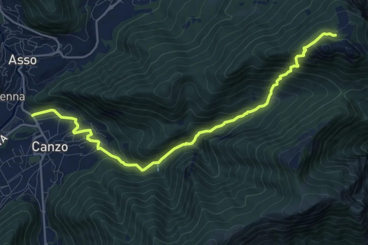
Demanding · Cabin
Stazione Canzo-Asso – Rifugio SEC "Marisa Consigliere"
11.9 km · ↑ 910 m · 4 h 46 min · 14 km away
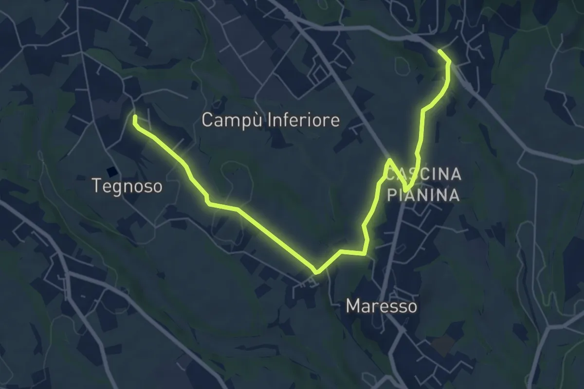
Easy · Trail
Contra – Lomaniga
7.8 km · ↑ 117 m · 2 h 5 min · 14 km away
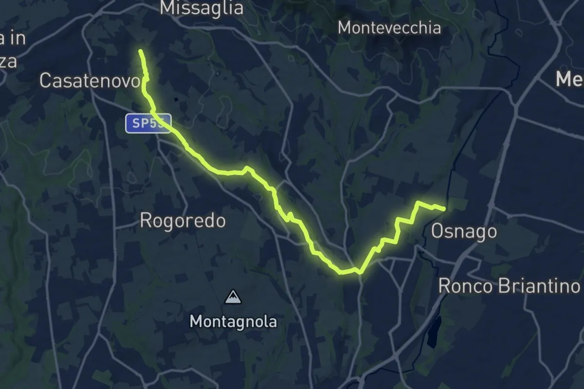
Medium · Trail
Osnago – Misericordia
17.0 km · ↑ 173 m · 4 h 24 min · 14 km away
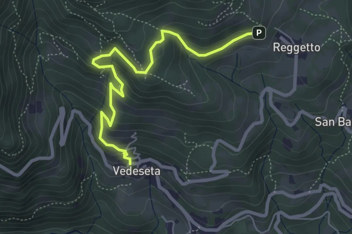
Medium · Trail
Vedeseta – Reggetto
5.4 km · ↑ 387 m · 2 h 7 min · 14 km away
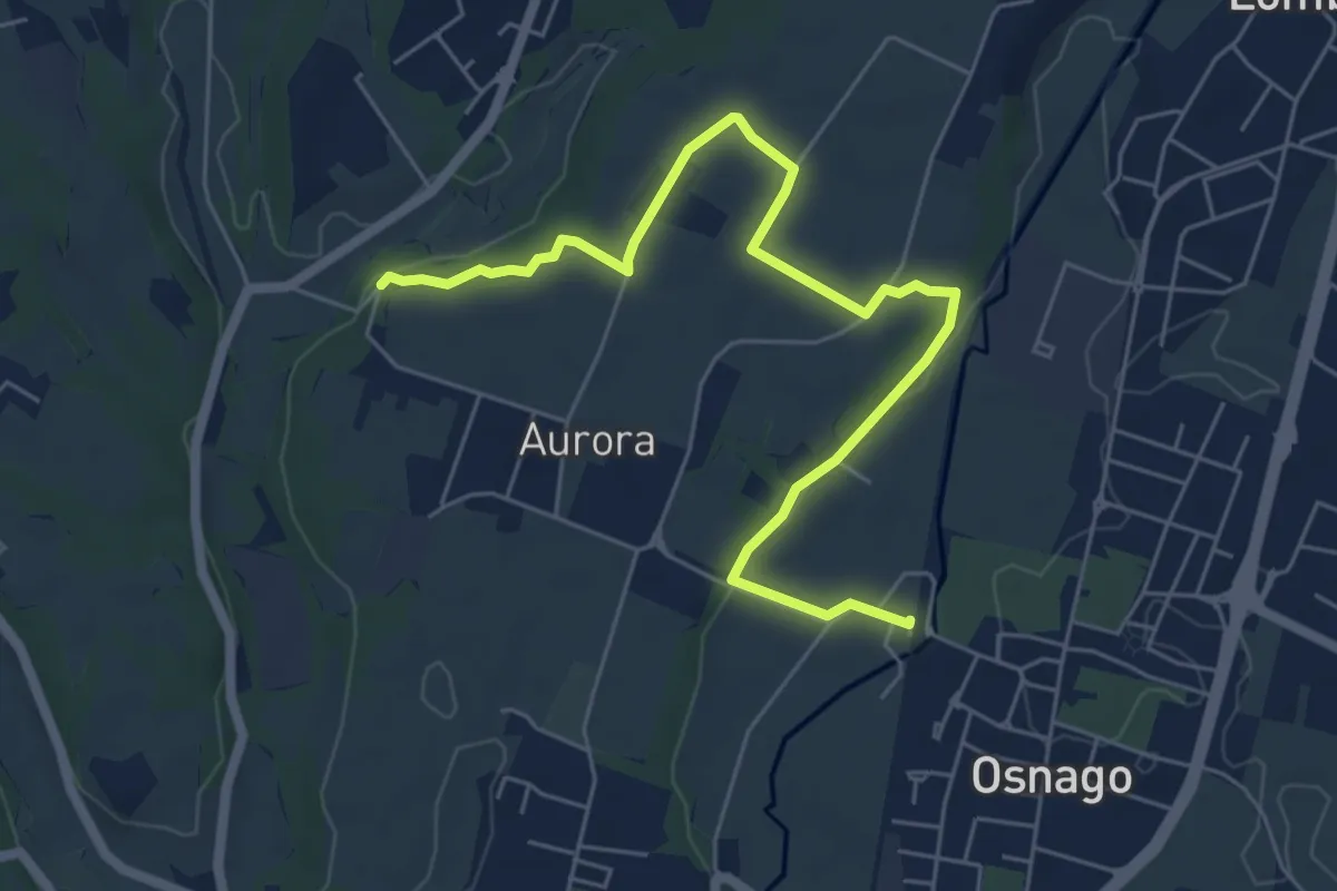
Easy · Trail
Osnago – Torrente Curone
6.8 km · ↑ 43 m · 1 h 42 min · 14 km away
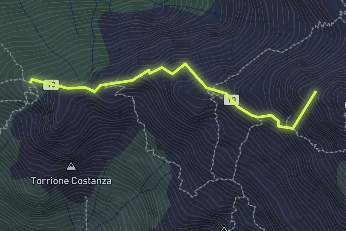
Expert · Summit
Sentiero Cecilia
2.4 km · ↑ 349 m · 1 h 19 min · 14 km away
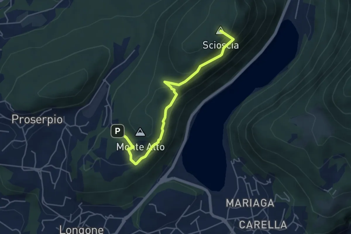
Demanding · Summit
Inarca (Proserpio) – Monte Scioscia
4.3 km · ↑ 243 m · 1 h 33 min · 14 km away
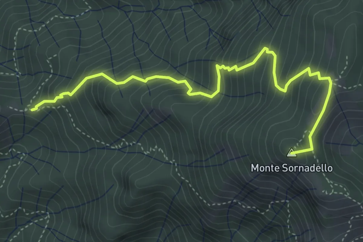
Medium · Summit
Incrocio 595 – Incrocio 595
5.0 km · ↑ 635 m · 2 h 33 min · 14 km away
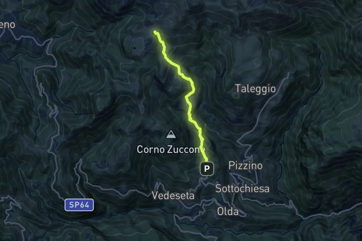
Medium · Trail
Reggetto (Vedeseta) – Piani di Artavaggio
10.4 km · ↑ 722 m · 4 h 1 min · 14 km away
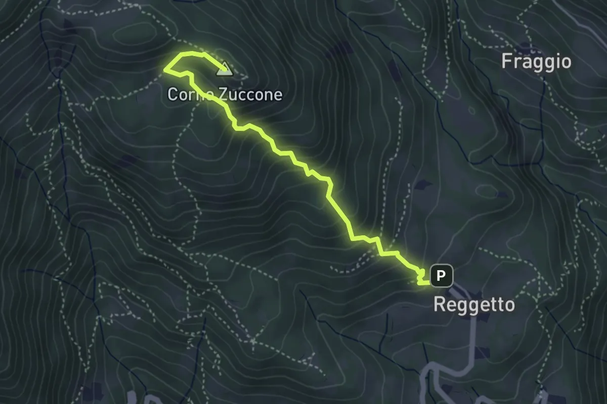
Demanding · Summit
Reggetto – Corno Zuccone (incrocio 151)
4.1 km · ↑ 405 m · 1 h 51 min · 14 km away
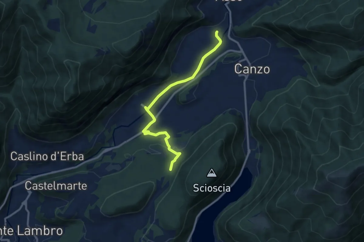
Easy · Trail
Scarenna (Asso) – Bosco della Gualdera
7.6 km · ↑ 145 m · 2 h 7 min · 14 km away
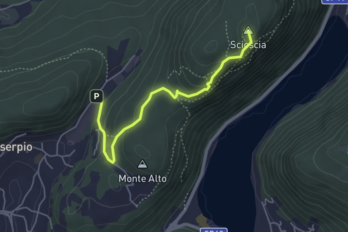
Demanding · Summit
Zona industriale di Proseprio – Canzo
4.1 km · ↑ 185 m · 1 h 21 min · 14 km away
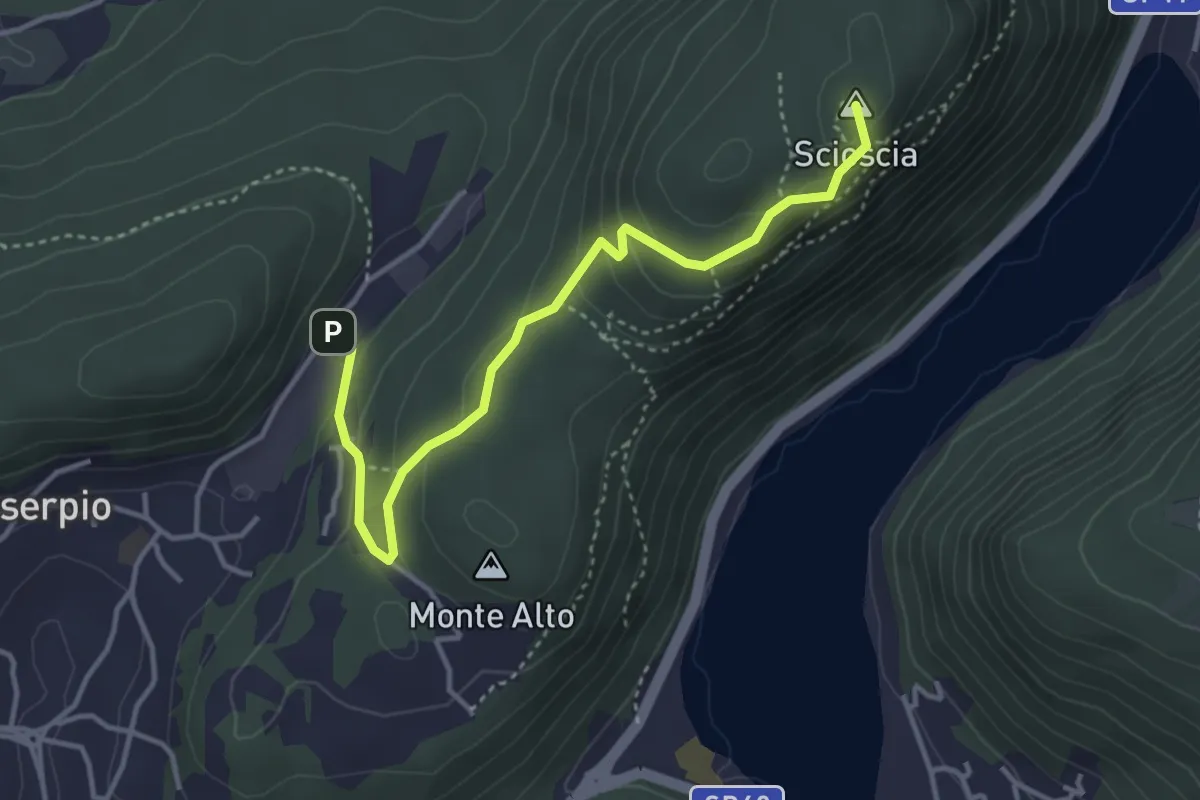
Easy · Summit
Zona industriale di Proseprio – Canzo
4.0 km · ↑ 173 m · 1 h 19 min · 14 km away
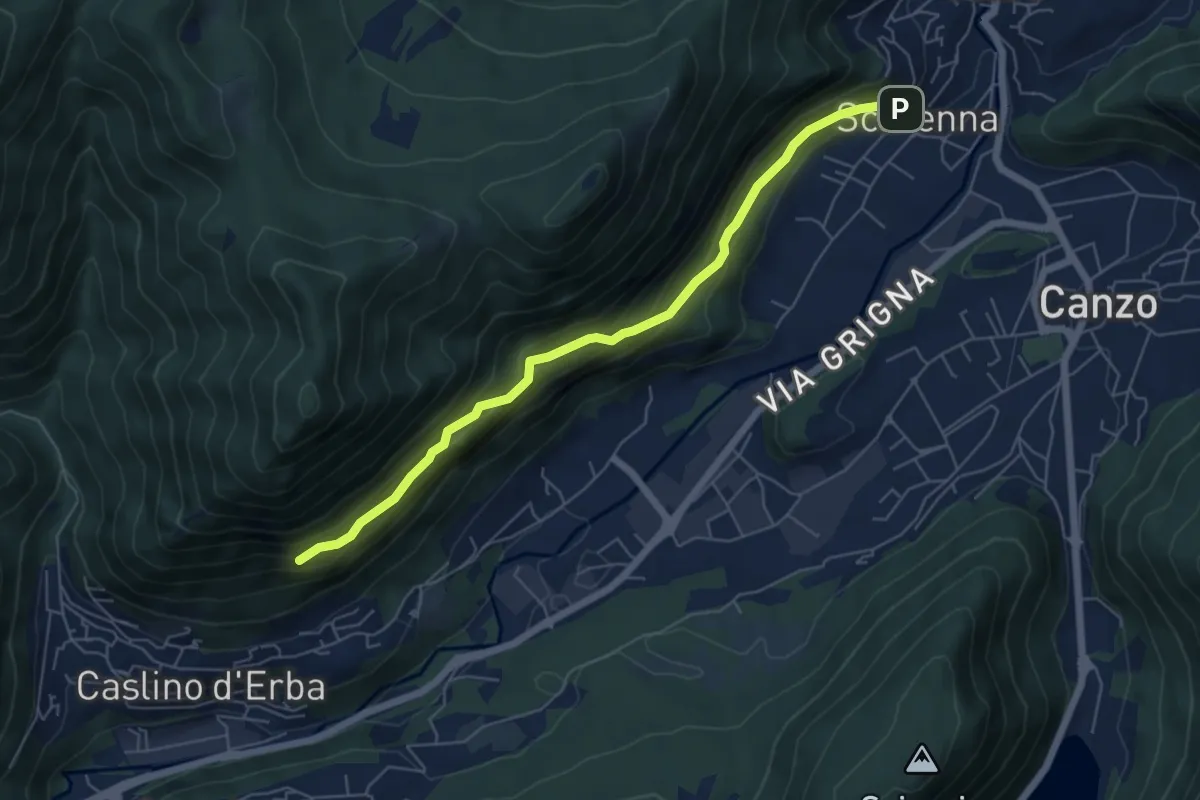
Demanding · Trail
Scarenna – Sentiero Falghèe
6.0 km · ↑ 565 m · 2 h 39 min · 14 km away
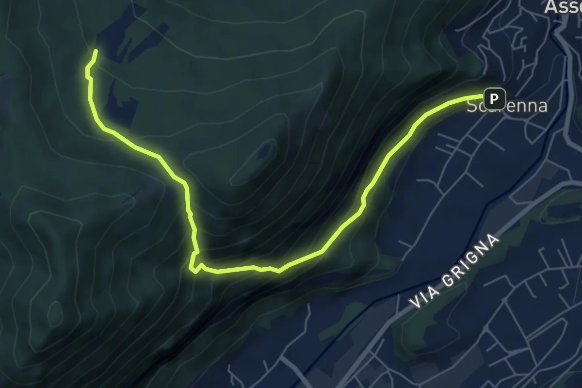
Demanding · Trail
Scarenna – Enco
6.7 km · ↑ 629 m · 2 h 57 min · 14 km away
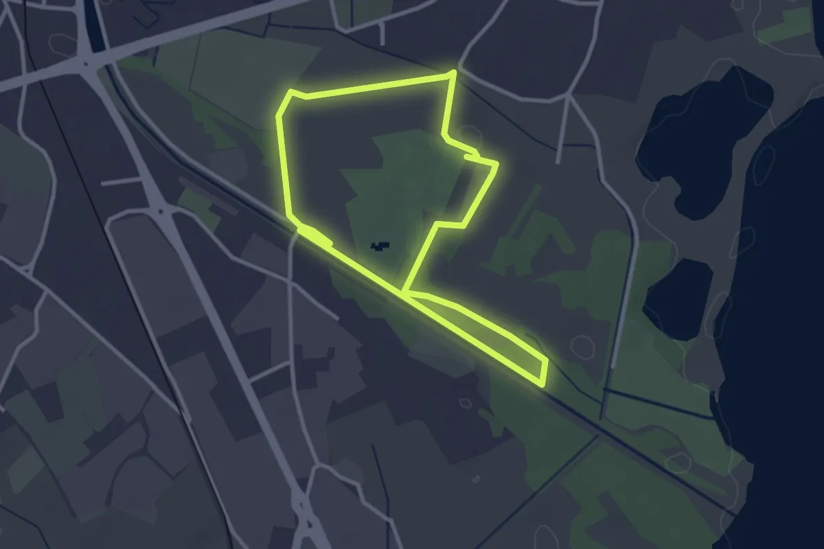
Easy · Trail
Percorso maggiore
2.8 km · ↑ 9 m · 44 min · 14 km away
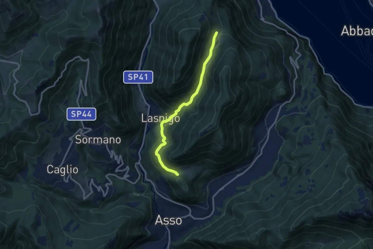
Medium · Trail
Piana di Crezzo – Alpe Megna
8.3 km · ↑ 390 m · 2 h 48 min · 15 km away
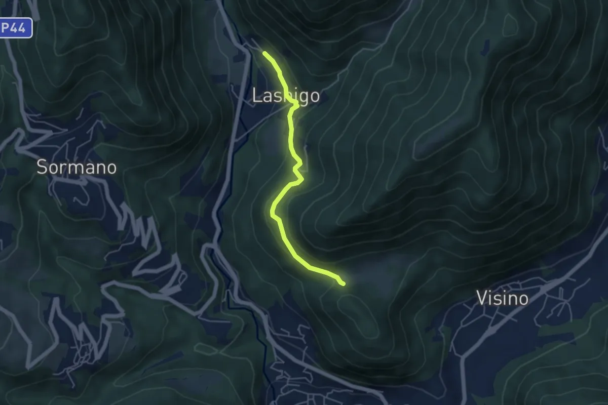
Easy · Trail
Lasnigo – Alpe Megna
4.1 km · ↑ 149 m · 1 h 18 min · 15 km away
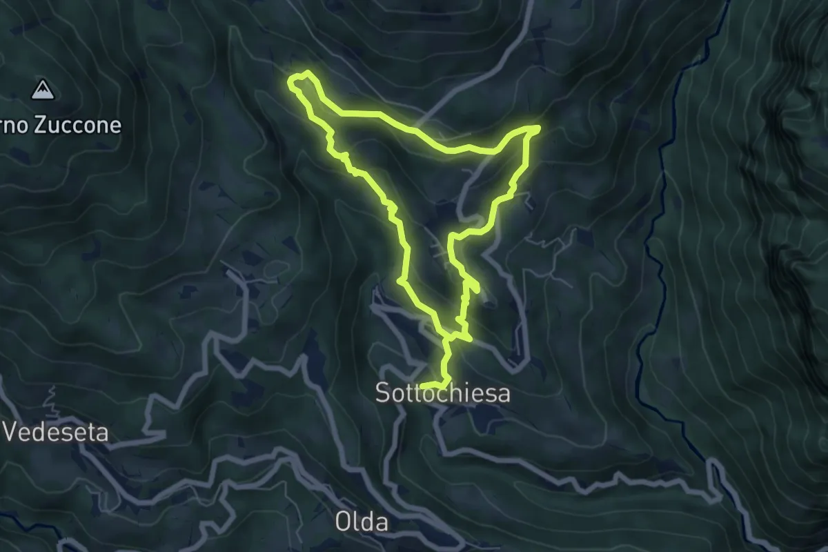
Medium · Trail
Via delle architetture rurali
10.8 km · ↑ 608 m · 3 h 52 min · 15 km away
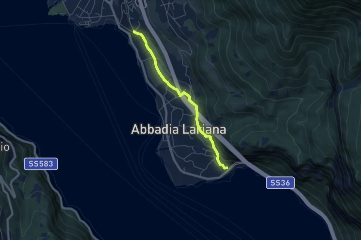
Easy · Trail
Sentiero del Viandante (Abbadia Lariana - Mandello del Lario)
4.6 km · ↑ 124 m · 1 h 22 min · 15 km away
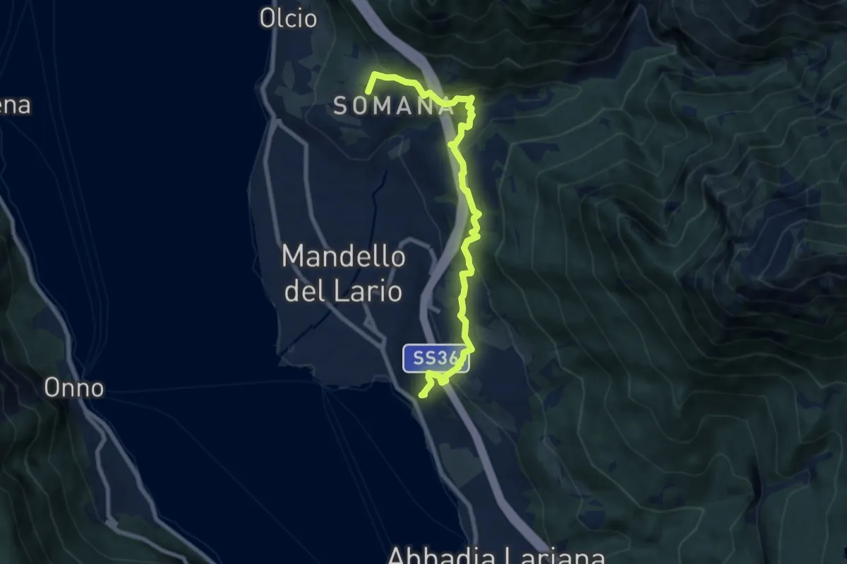
Medium · Summit
Sentiero del Viandante (Mandello del Lario - Lierna)
8.0 km · ↑ 430 m · 2 h 50 min · 15 km away
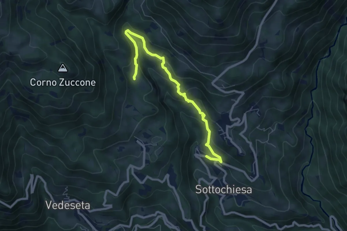
Medium · Trail
Sottochiesa – Fraggio
6.7 km · ↑ 312 m · 2 h 15 min · 15 km away
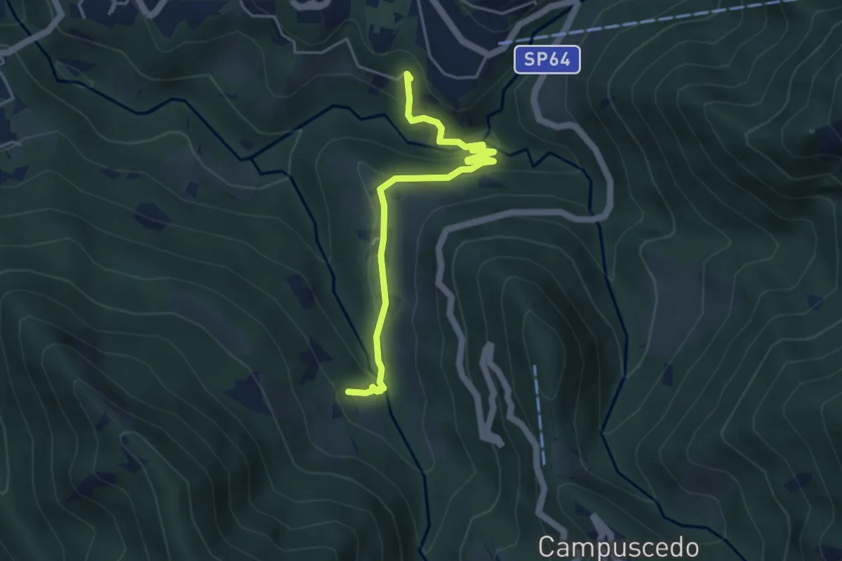
Easy · Trail
Moggio - Ussola
4.5 km · ↑ 162 m · 1 h 24 min · 15 km away
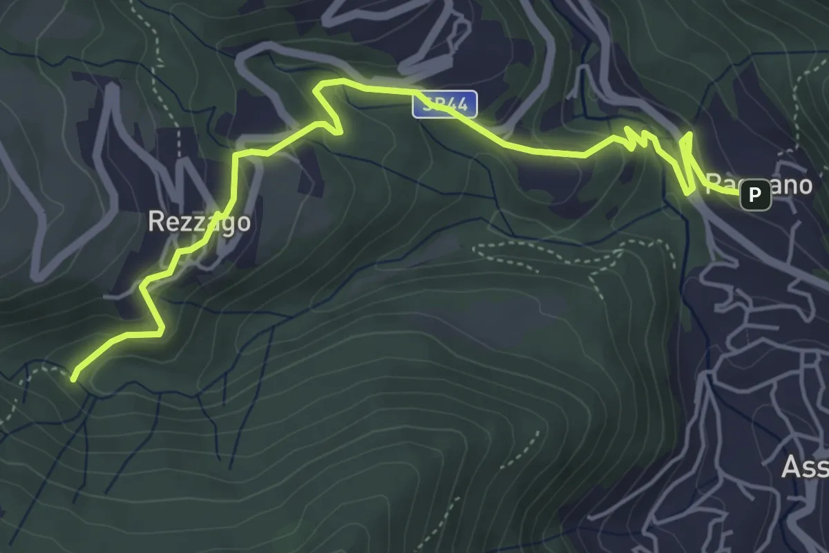
Easy · Trail
Pagnano – Madonna dei Morti
5.7 km · ↑ 281 m · 1 h 58 min · 15 km away
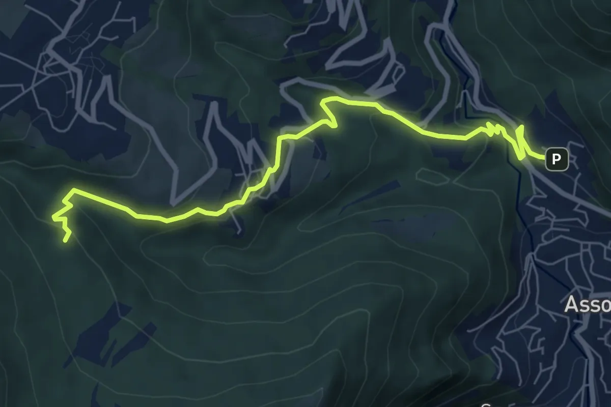
Medium · Trail
Pagnano – C.na Braga (Rezzago)
7.3 km · ↑ 340 m · 2 h 27 min · 15 km away
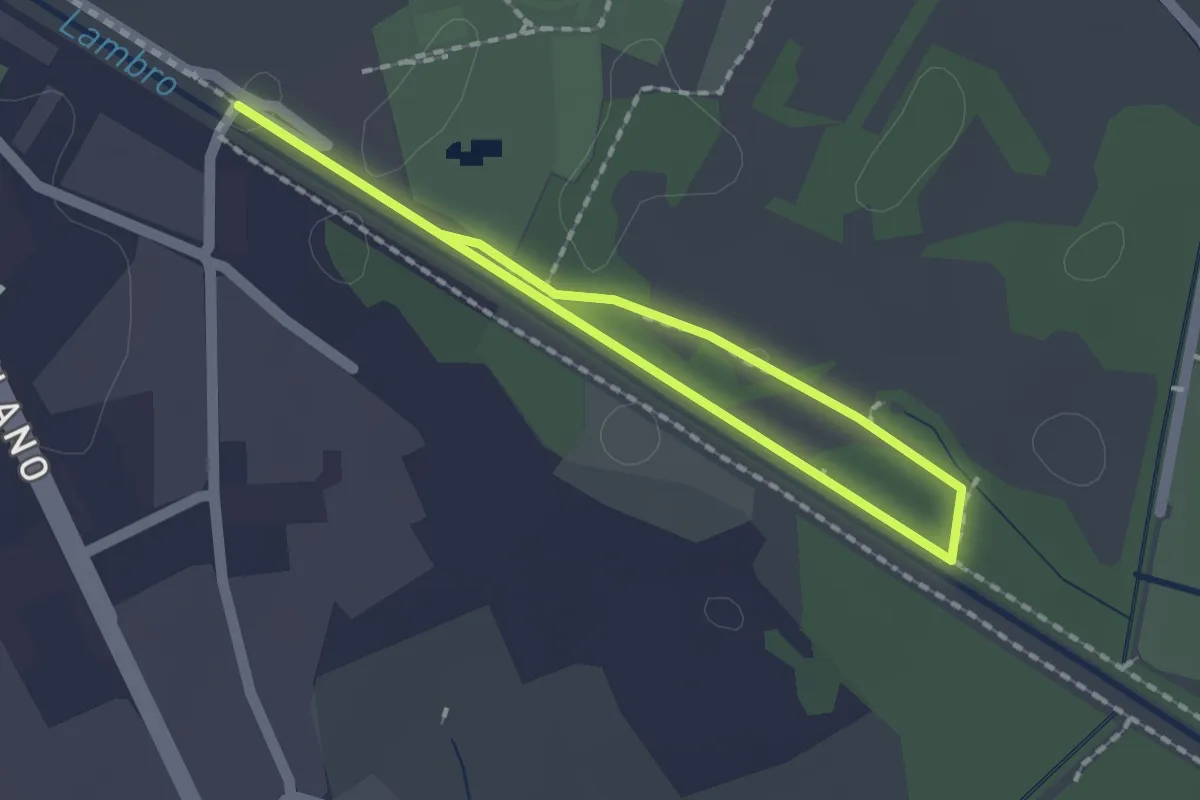
Easy · Trail
Percorso minore
1.3 km · ↑ 0 m · 20 min · 15 km away
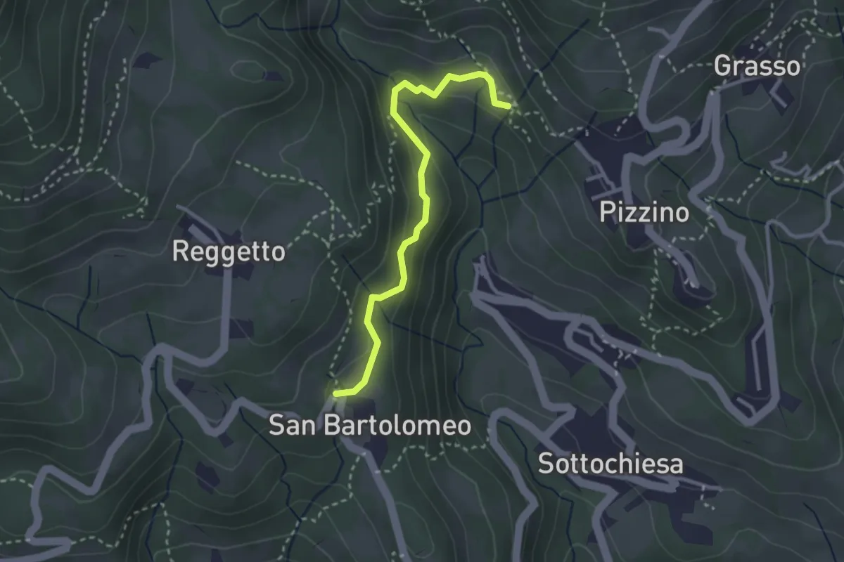
Medium · Trail
San Bartolomeo – Santuario di Salzana
2.8 km · ↑ 154 m · 59 min · 15 km away
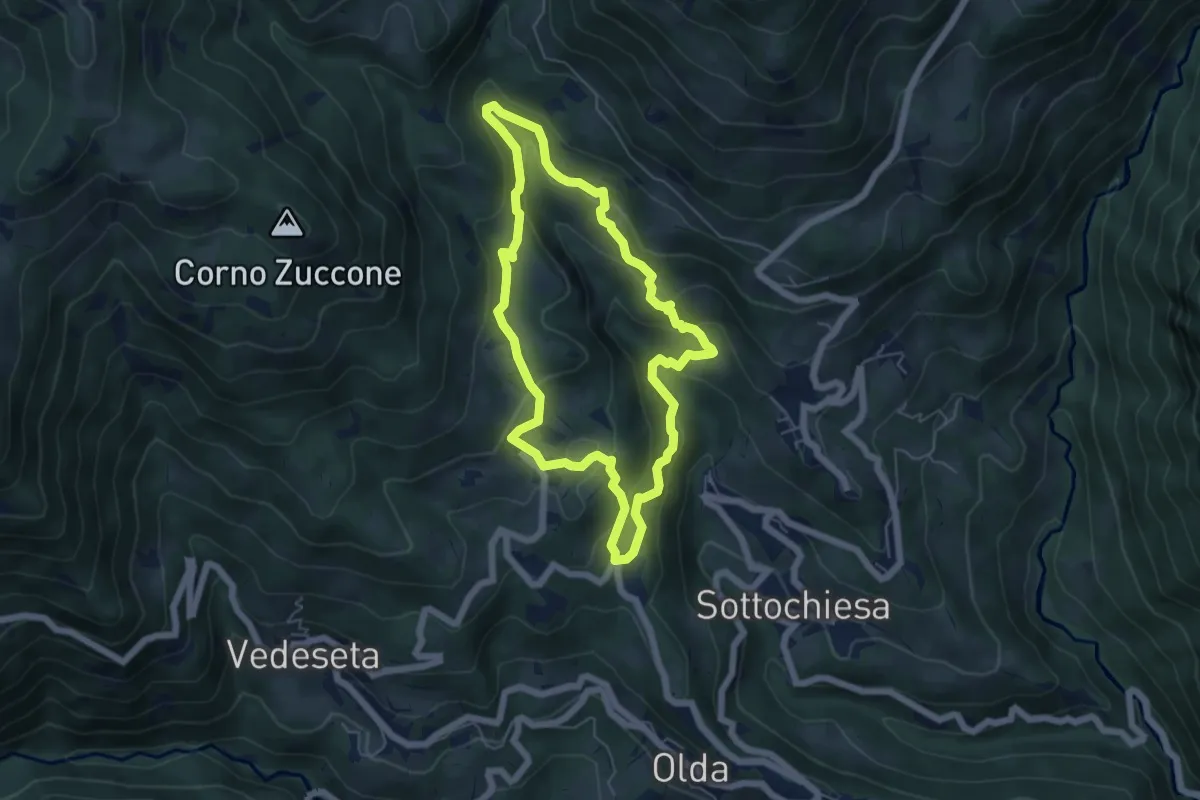
Medium · Trail
Sentiero della Cultura Casearia
5.4 km · ↑ 277 m · 1 h 57 min · 15 km away
Medium · Trail
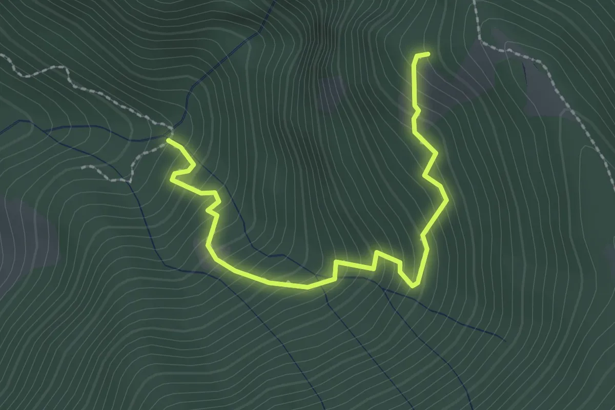
Innesto 728 – Innesto SASP58
2.5 km · ↑ 320 m · 1 h 17 min · 15 km away
Easy · Trail
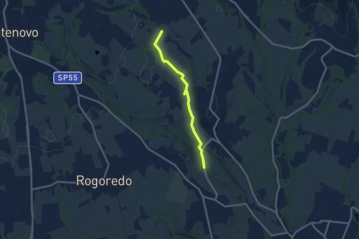
Campù Inferiore – Valaperta
5.1 km · ↑ 37 m · 1 h 17 min · 15 km away