Trails near Cantù
118 hikes starting within 15 km, nearest first.
Nearest first, page 2 of 3
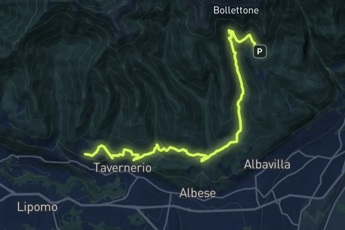
Demanding · Trail
Caslascio (Tavernerio) – Alpe del Vicerè
17.7 km · ↑ 819 m · 5 h 57 min · 11 km away
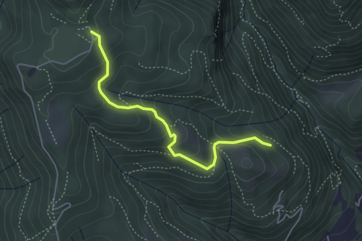
Medium · Trail
Cardögia – Alpe del Vicerè
3.8 km · ↑ 238 m · 1 h 25 min · 11 km away
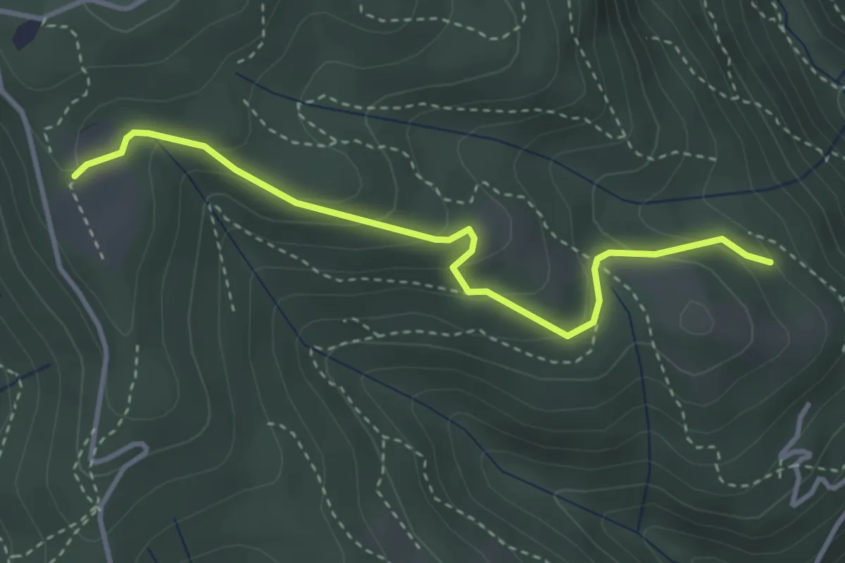
Easy · Trail
Cardögia – Ex Albergo la Salute
3.5 km · ↑ 186 m · 1 h 14 min · 11 km away
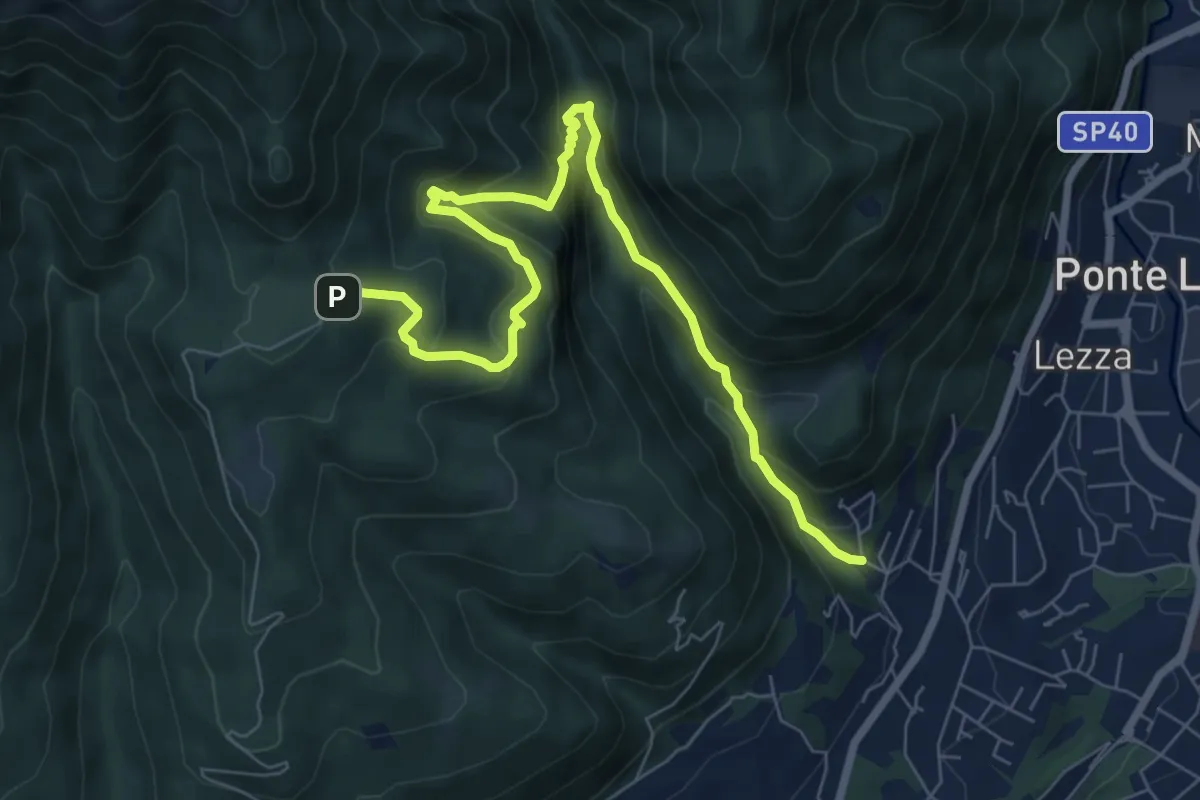
Demanding · Trail
Ca Nova – Alpe Vicerè
8.5 km · ↑ 602 m · 3 h 18 min · 11 km away
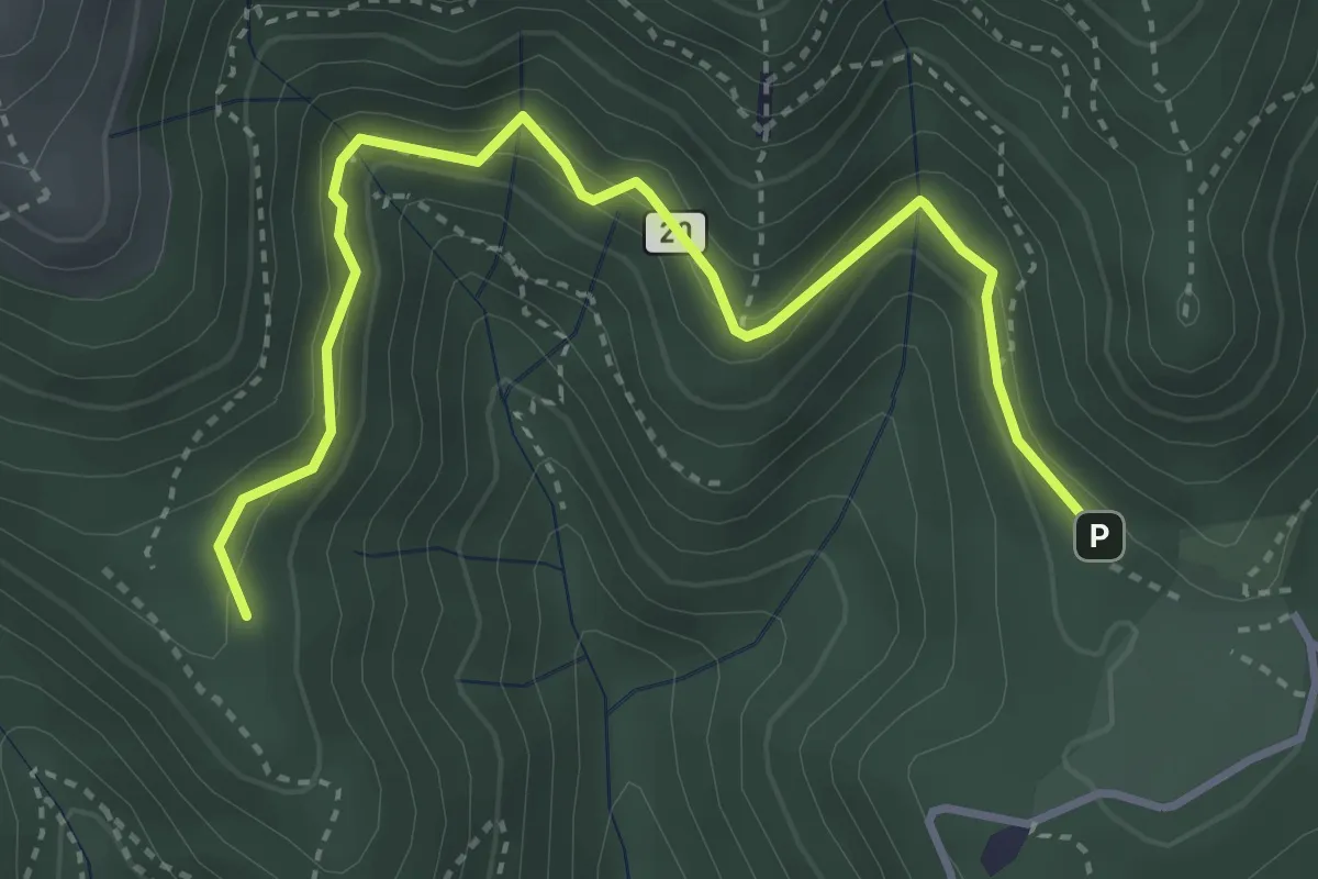
Medium · Trail
Alpe del Vicerè – Baita Patrizi
4.1 km · ↑ 256 m · 1 h 31 min · 11 km away
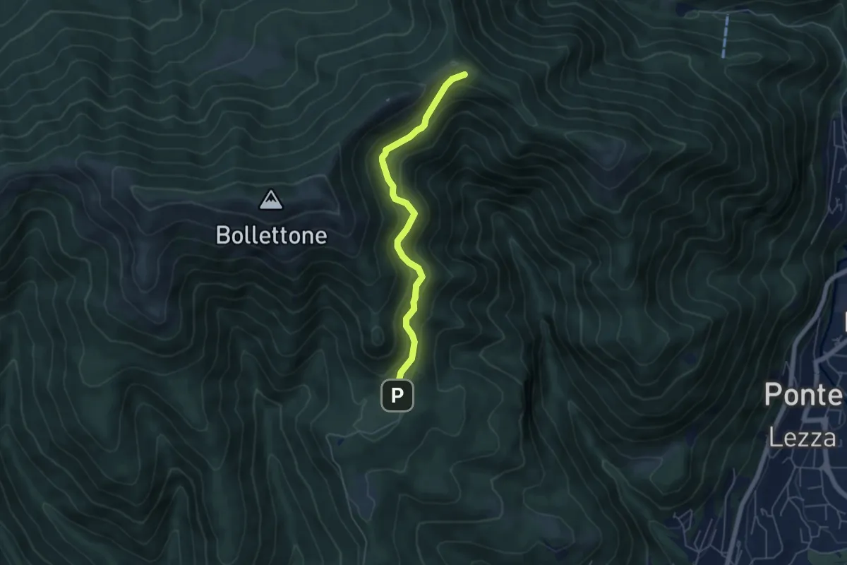
Easy · Cabin
Sentiero 23: Alpe del Vicerè - Rifugio Cacciatori - Capanna Mara
4.9 km · ↑ 303 m · 1 h 48 min · 11 km away
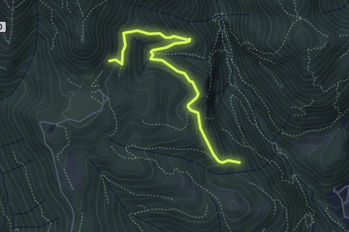
Medium · Trail
Praa Sciresöö – Rifugio Cacciatori
4.8 km · ↑ 479 m · 2 h 10 min · 11 km away
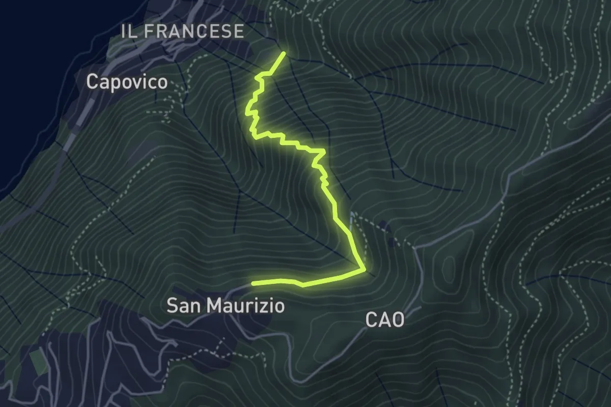
Medium · Trail
Sentiero del Barch (Sopravilla di Blevio-Cascina Barch-San Maurizio)
3.8 km · ↑ 445 m · 1 h 52 min · 11 km away
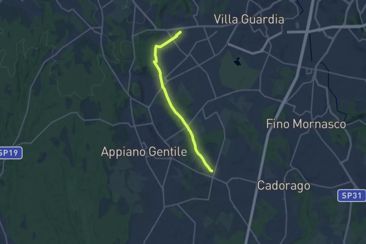
Medium · Trail
Lurate Caccivio – Guanzate
11.5 km · ↑ 86 m · 2 h 53 min · 11 km away
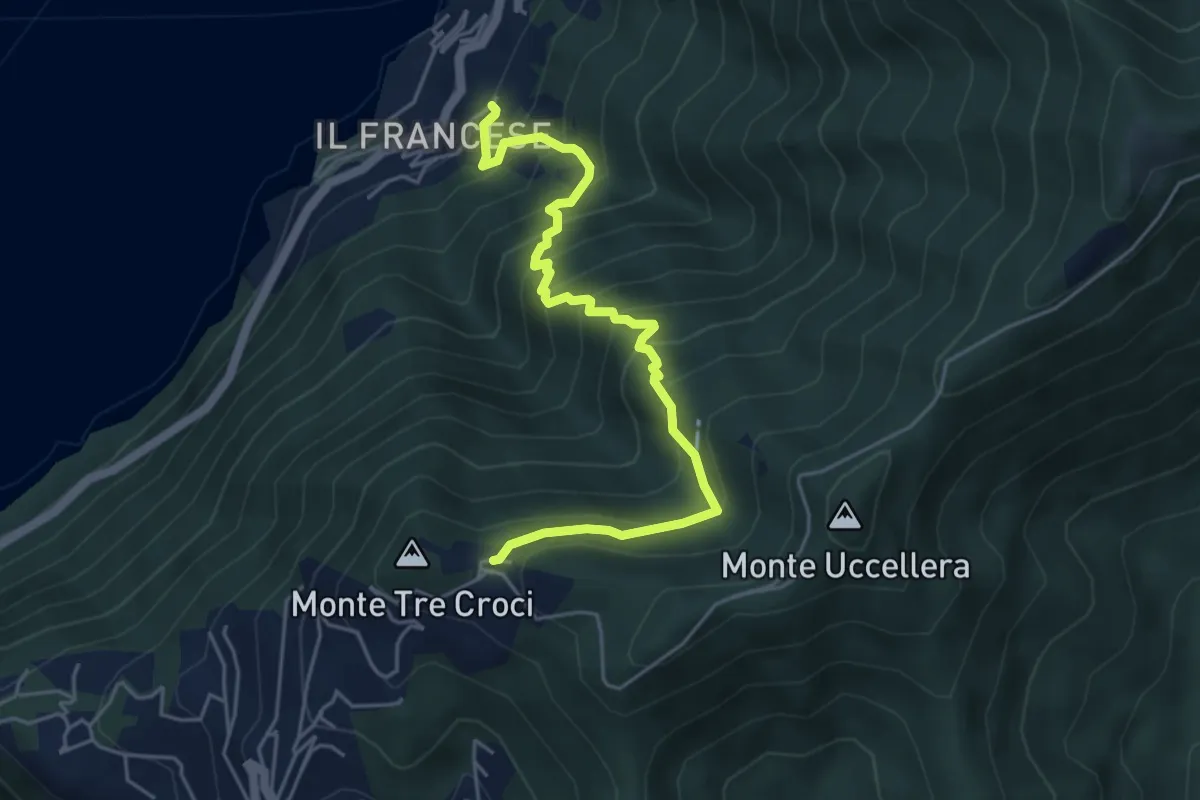
Medium · Trail
Sopravilla (Blevio) – San Maurizio
5.2 km · ↑ 612 m · 2 h 34 min · 11 km away
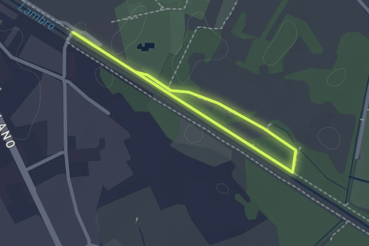
Easy · Trail
Percorso minore
1.3 km · ↑ 0 m · 20 min · 11 km away
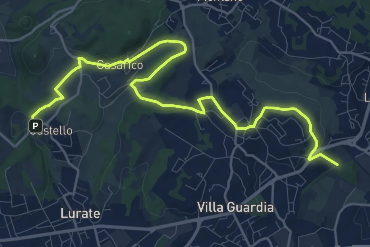
Medium · Trail
Castello – Civello
12.9 km · ↑ 191 m · 3 h 28 min · 11 km away
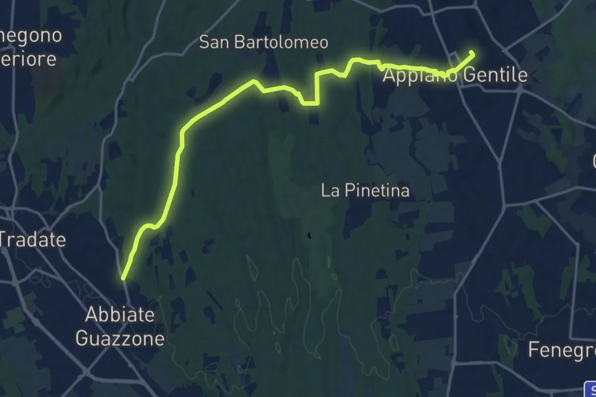
Medium · Trail
Appiano Gentile – Tradate
15.2 km · ↑ 222 m · 4 h 5 min · 11 km away
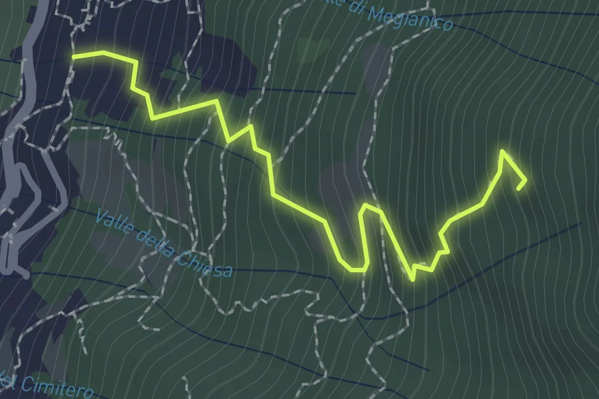
Medium · Trail
Mezzovico (Blevio) – Prea Nairöla
2.2 km · ↑ 395 m · 1 h 23 min · 11 km away
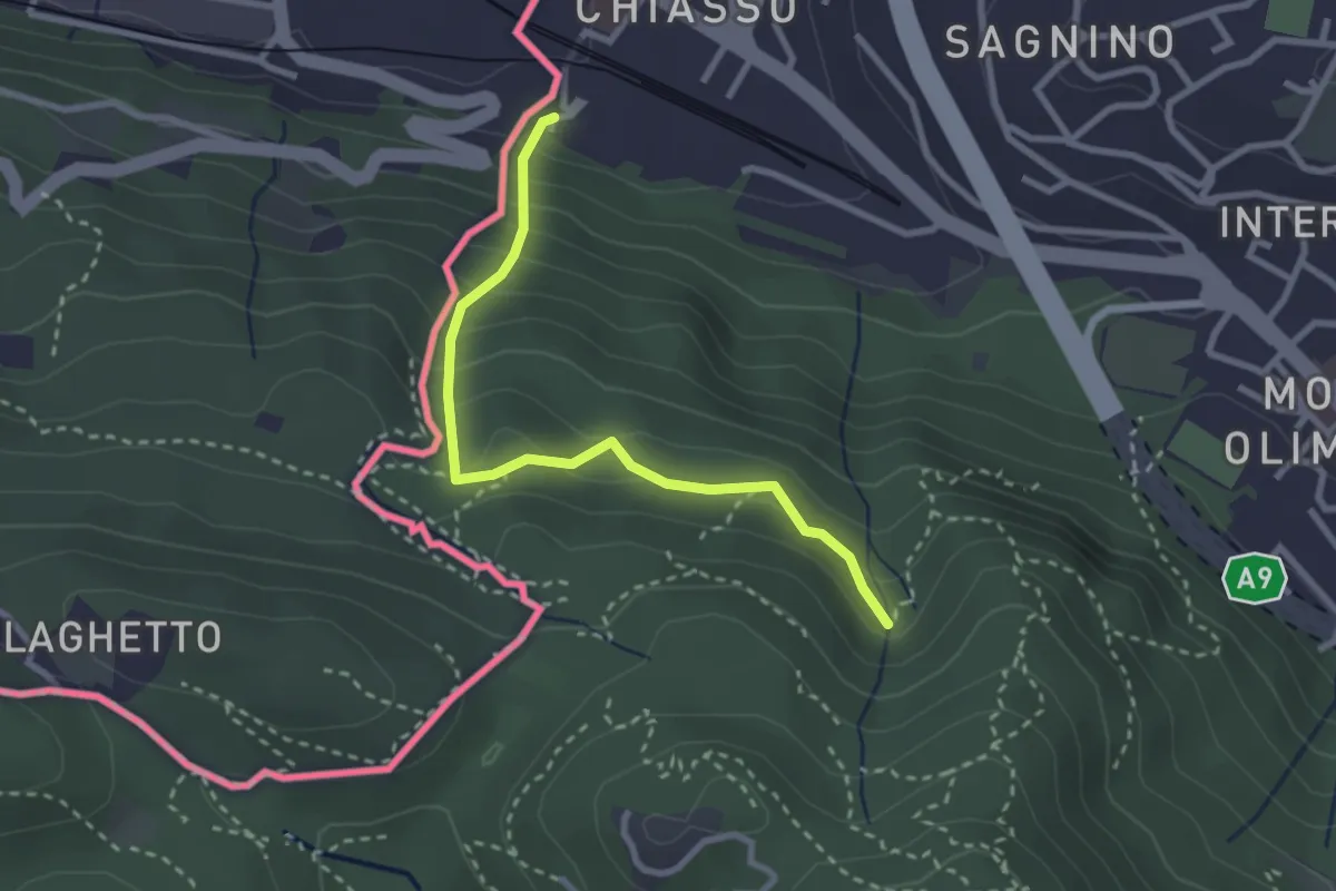
Medium · Trail
Porta Sasso (o del ponte tibetano)
2.8 km · ↑ 294 m · 1 h 17 min · 12 km away
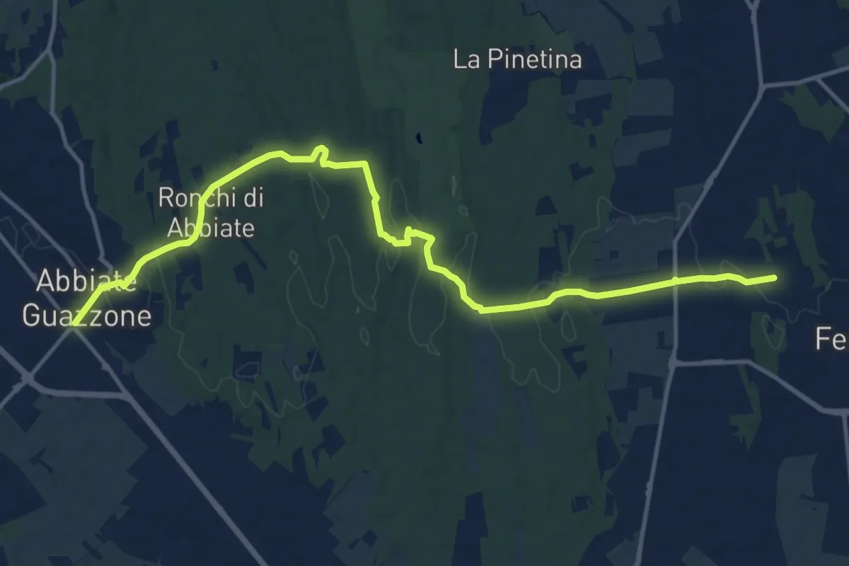
Medium · Trail
Sentiero 844
14.8 km · ↑ 205 m · 3 h 57 min · 12 km away
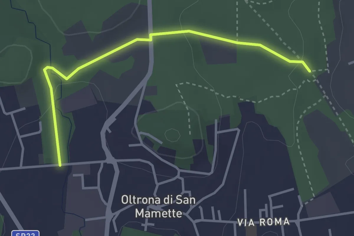
Easy · Trail
Incrocio 715B – Oltrona
3.2 km · ↑ 56 m · 52 min · 12 km away
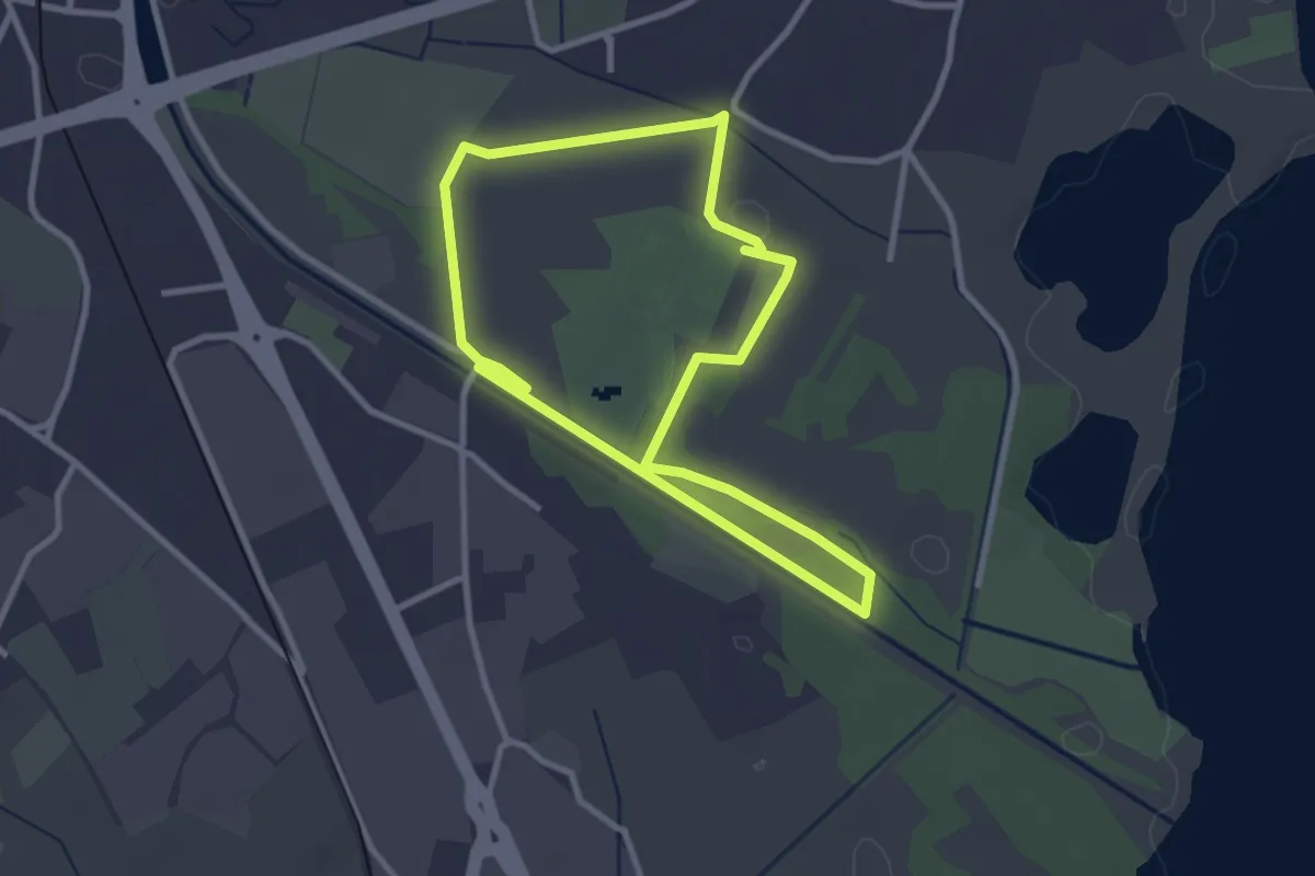
Easy · Trail
Percorso maggiore
2.8 km · ↑ 9 m · 44 min · 12 km away
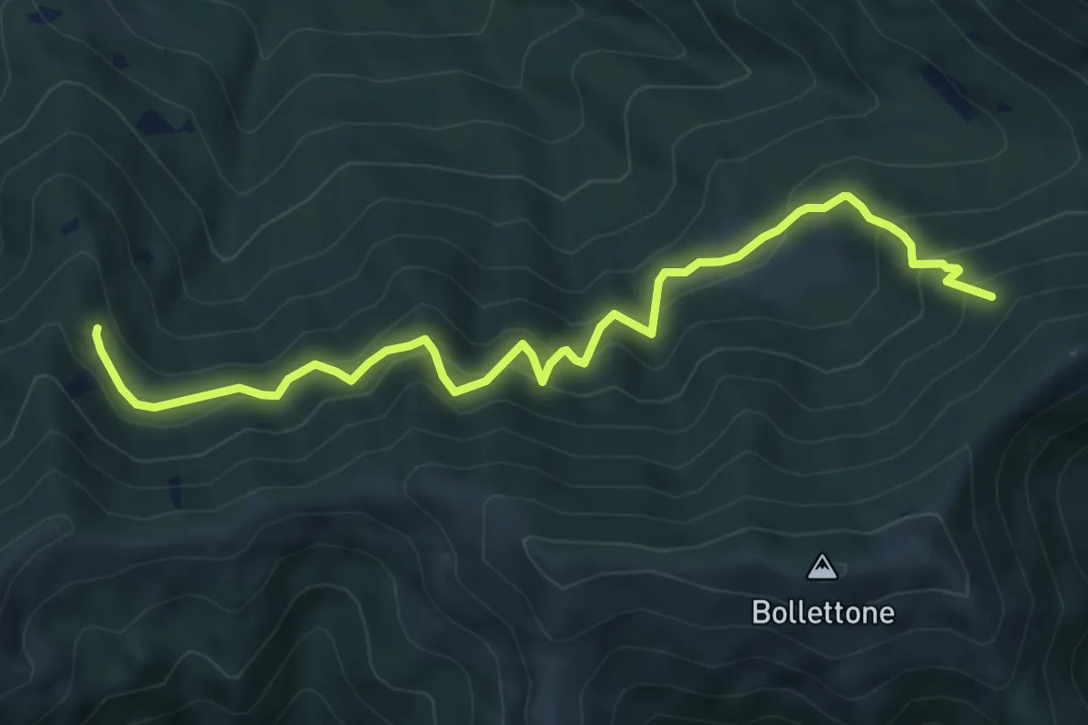
Expert · Trail
Pian Dürac (Faggeto Lario) – Innesto sentiero dei faggi
7.1 km · ↑ 617 m · 3 h · 12 km away
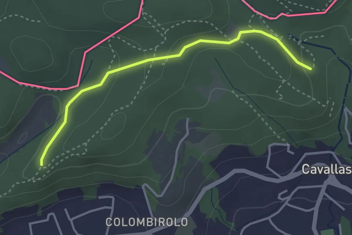
Easy · Trail
Naturalistico di Parè
3.0 km · ↑ 71 m · 51 min · 12 km away
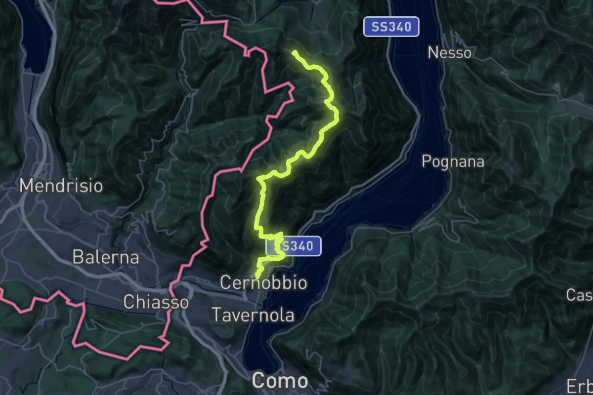
Demanding · Summit
Cernobbio – San Fedele Intelvi
27.1 km · ↑ 1649 m · 9 h 58 min · 12 km away
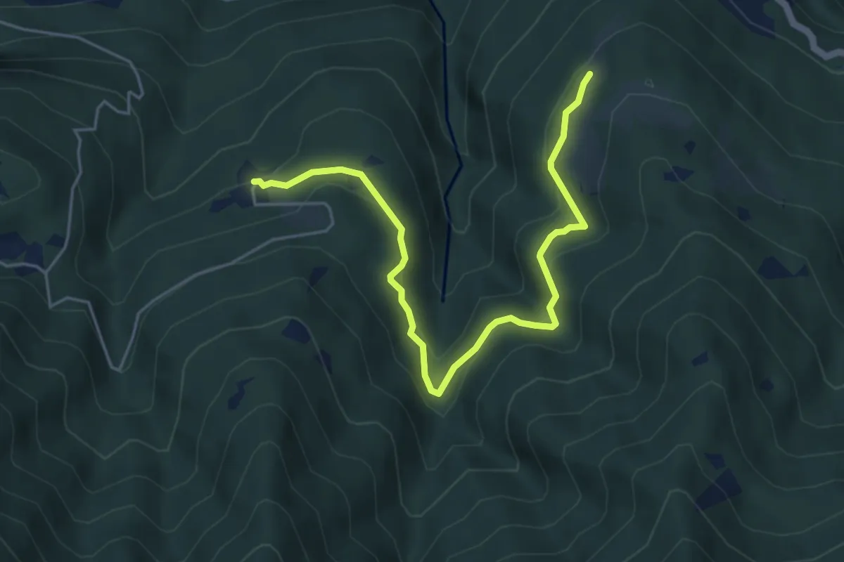
Medium · Trail
Piazzaga – Case delle Perle
5.4 km · ↑ 273 m · 1 h 52 min · 12 km away
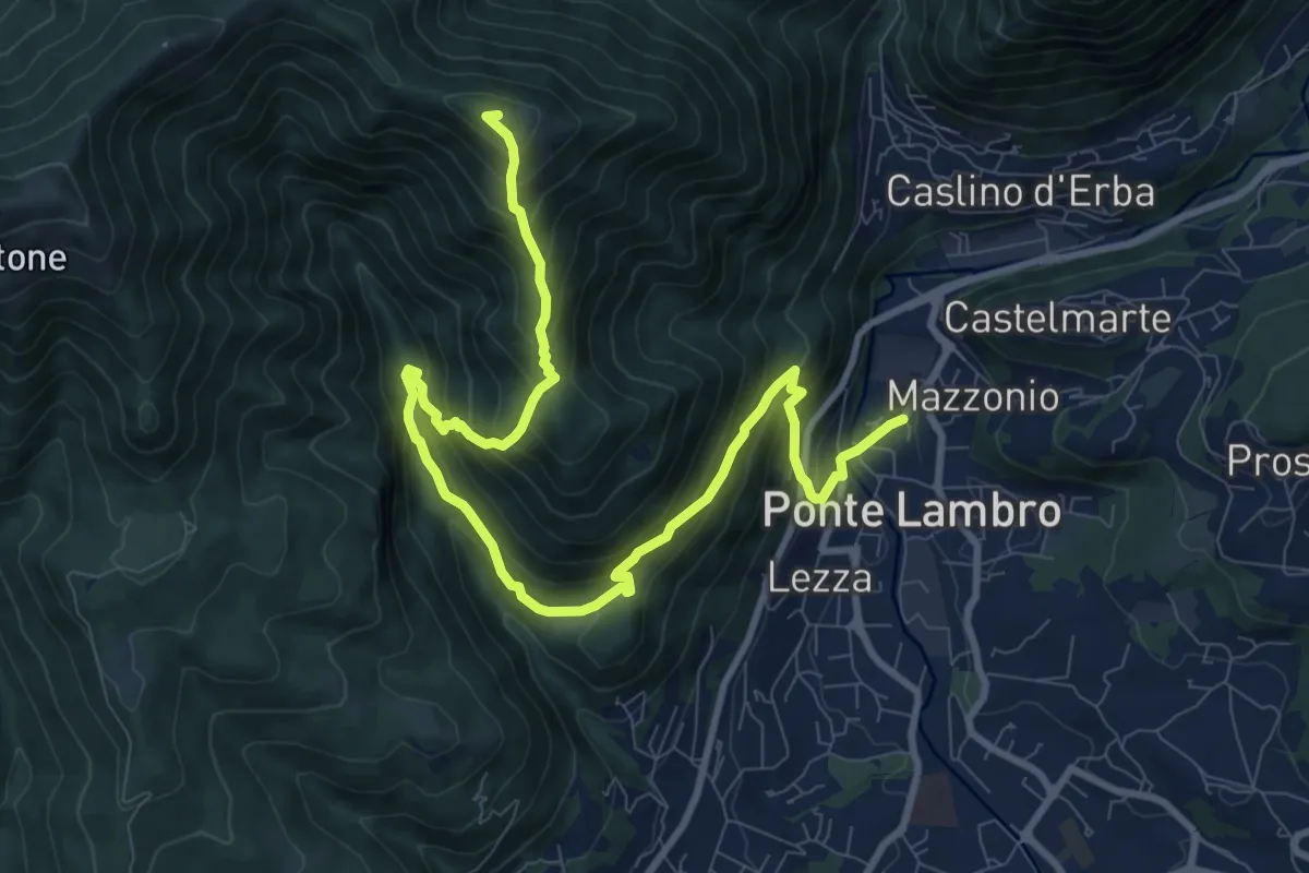
Demanding · Summit
Ponte Lambro – Monte Puscio
11.7 km · ↑ 1032 m · 5 h · 12 km away
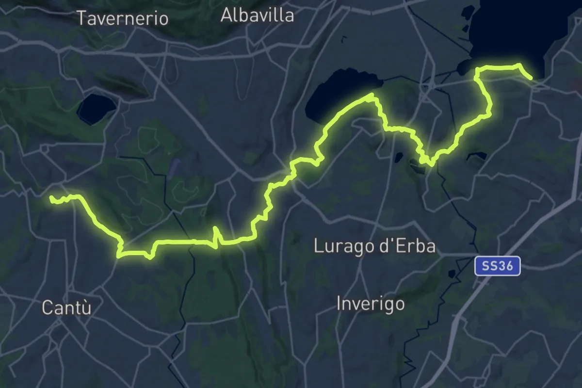
Demanding · Trail
Sentiero Pedemonte - Tappa 2
21.4 km · ↑ 377 m · 6 h 7 min · 12 km away
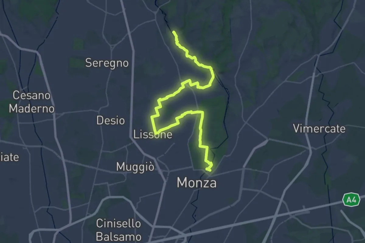
Demanding · Trail
CSA - Il Fiore Della Rosa - Tappa 1
20.0 km · ↑ 65 m · 5 h 11 min · 13 km away
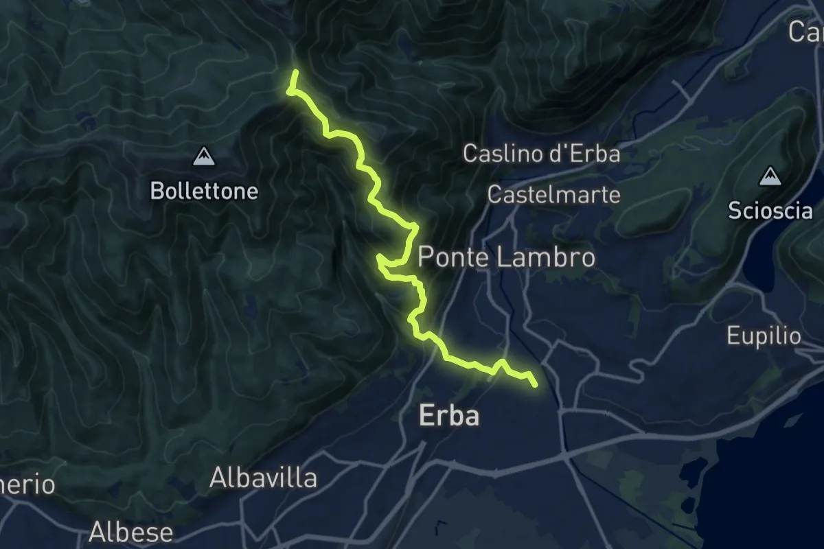
Demanding · Trail
Stazione di Erba – Bocchetta di Lemma
13.9 km · ↑ 1049 m · 5 h 34 min · 13 km away
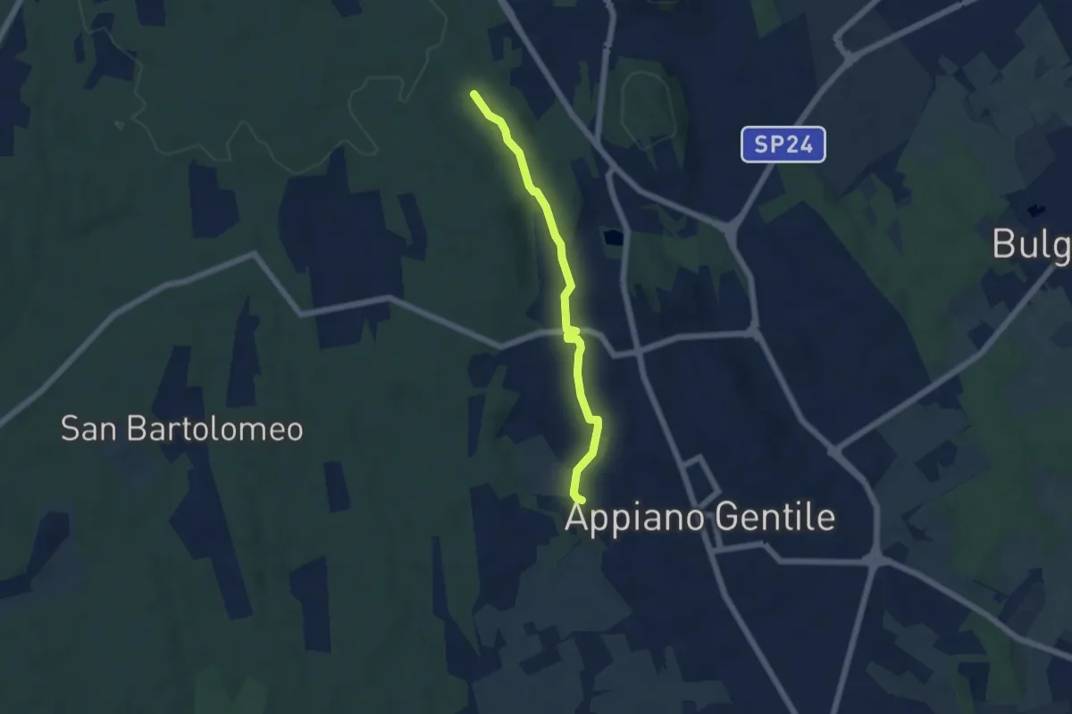
Easy · Trail
Sentiero 846C
4.9 km · ↑ 81 m · 1 h 20 min · 13 km away
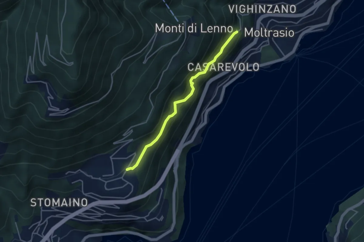
Medium · Trail
Sentee di Sort
3.3 km · ↑ 348 m · 1 h 32 min · 13 km away
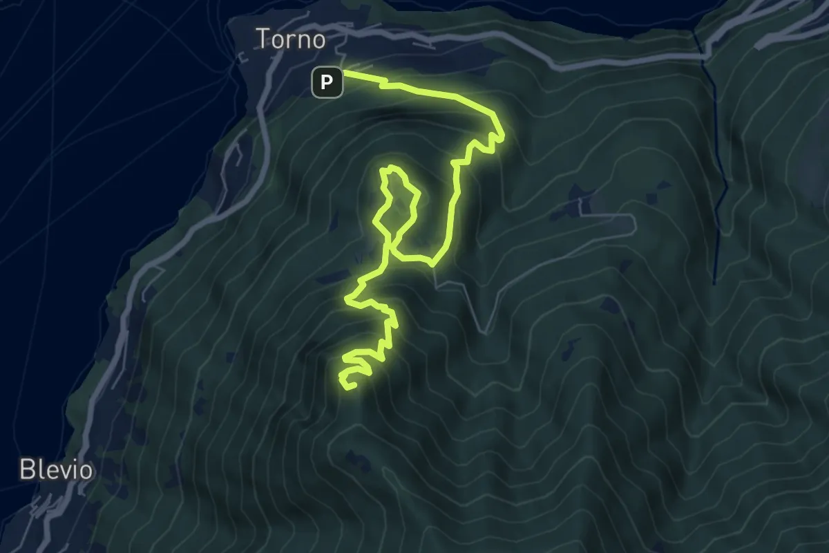
Demanding · Summit
Torno – Baita Carla
9.0 km · ↑ 837 m · 3 h 57 min · 13 km away
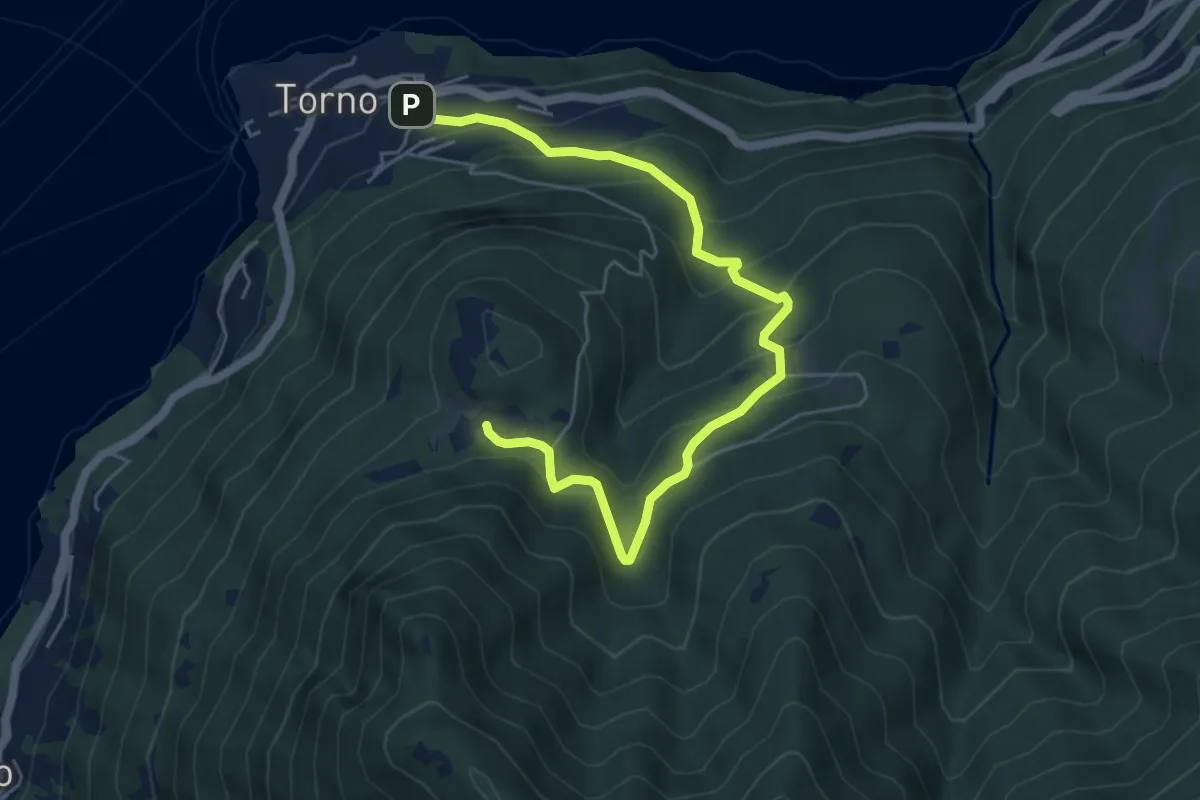
Medium · Trail
Torno – Montepiatto
6.3 km · ↑ 528 m · 2 h 37 min · 13 km away
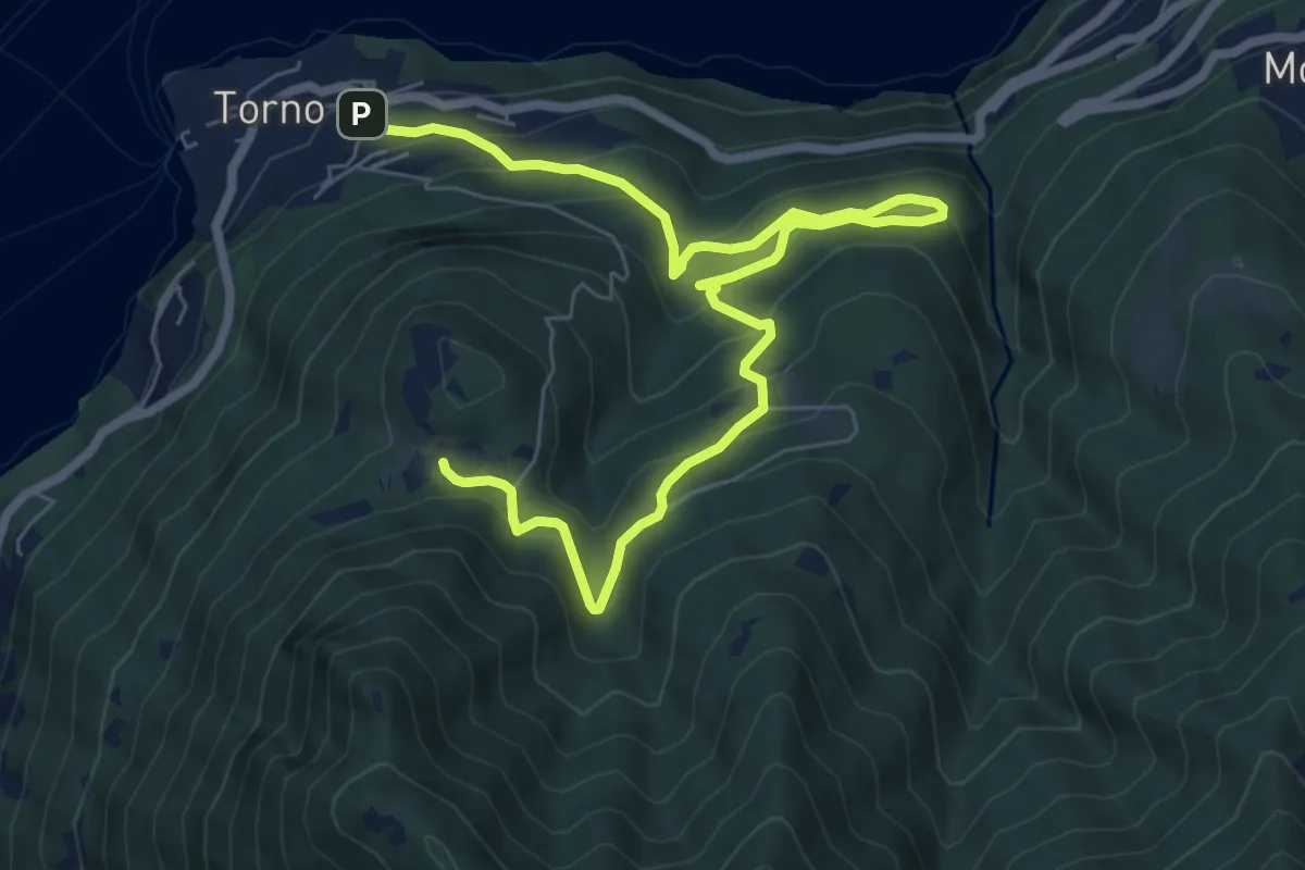
Medium · Trail
Torno – Montepiatto
9.2 km · ↑ 623 m · 3 h 32 min · 13 km away
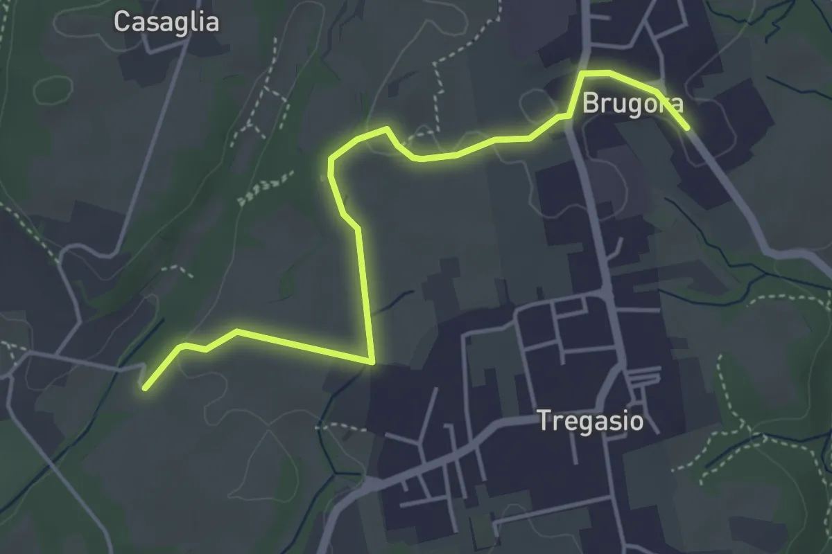
Easy · Trail
Brugora – Cascina Riva
4.5 km · ↑ 33 m · 1 h 8 min · 13 km away
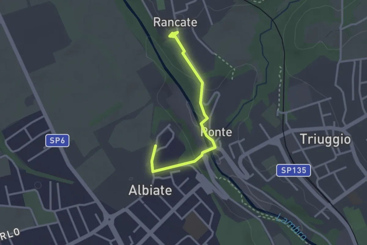
Easy · Trail
CSA - Il Fiore Della Rosa - Tappa 2
2.6 km · ↑ 63 m · 45 min · 13 km away
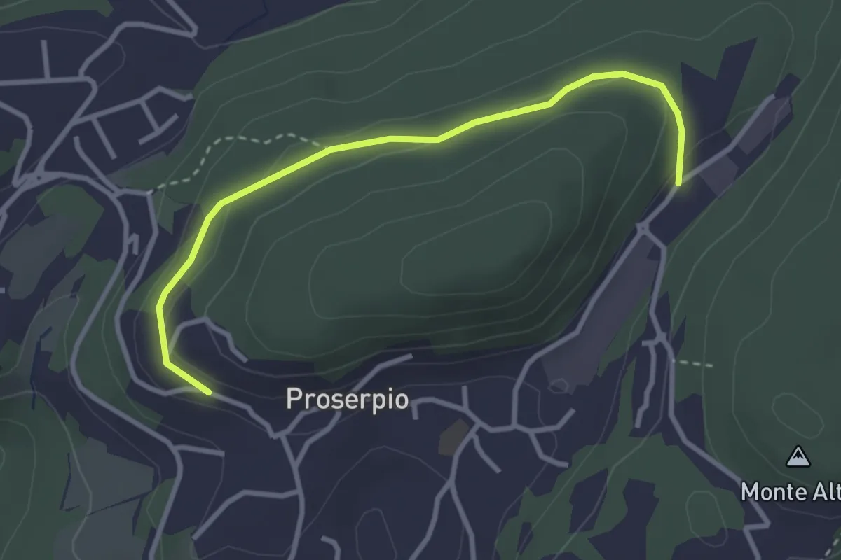
Easy · Trail
Rusera (Proserpio) – Zona industriale di Proseprio
3.1 km · ↑ 50 m · 51 min · 13 km away
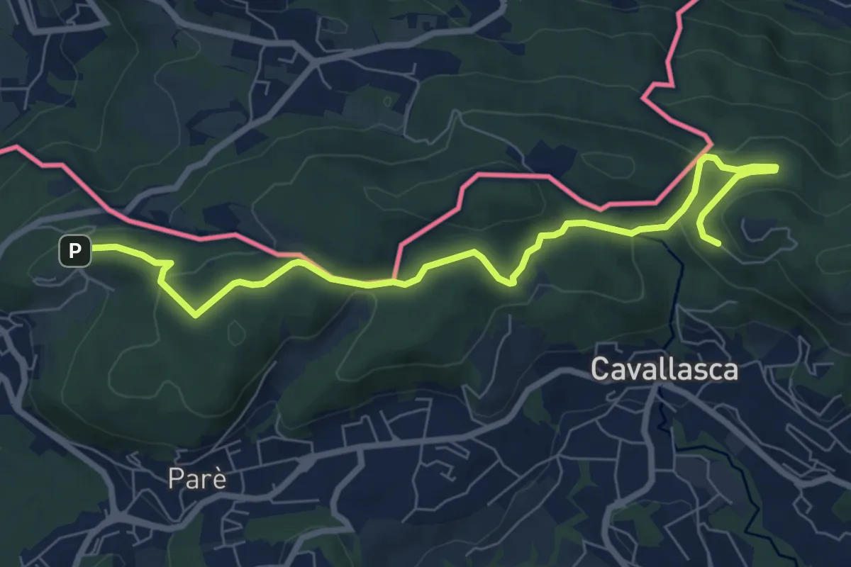
Medium · Trail
Bizzarone – Como
8.2 km · ↑ 264 m · 2 h 30 min · 13 km away
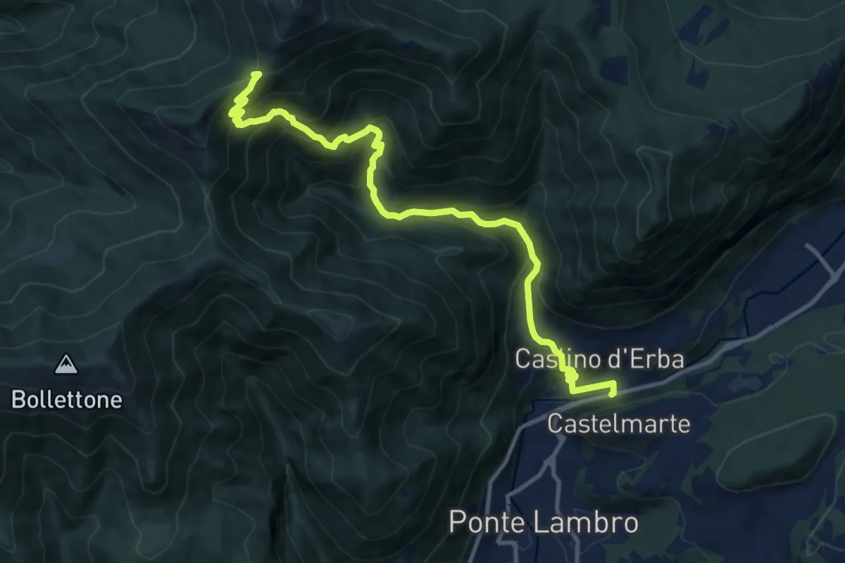
Demanding · Trail
Caslino d'Erba – Bocchetta di Palanzo
11.7 km · ↑ 912 m · 4 h 45 min · 13 km away
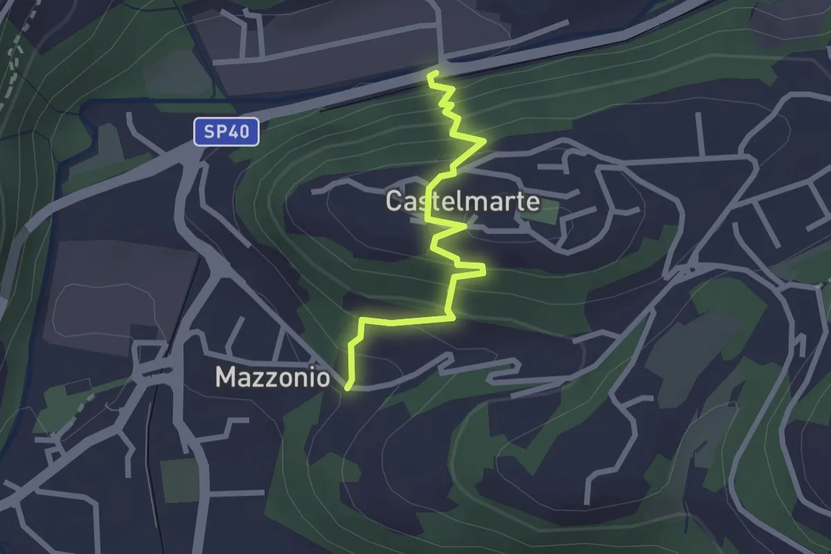
Easy · Trail
Stazione di Caslino d'Erba – Mazzonio (Ponte Lambro)
2.2 km · ↑ 199 m · 56 min · 13 km away
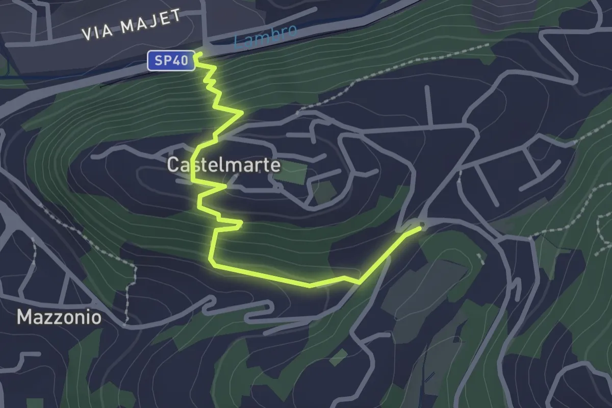
Easy · Trail
Stazione di Caslino d'Erba – Castelmarte
2.5 km · ↑ 179 m · 58 min · 13 km away
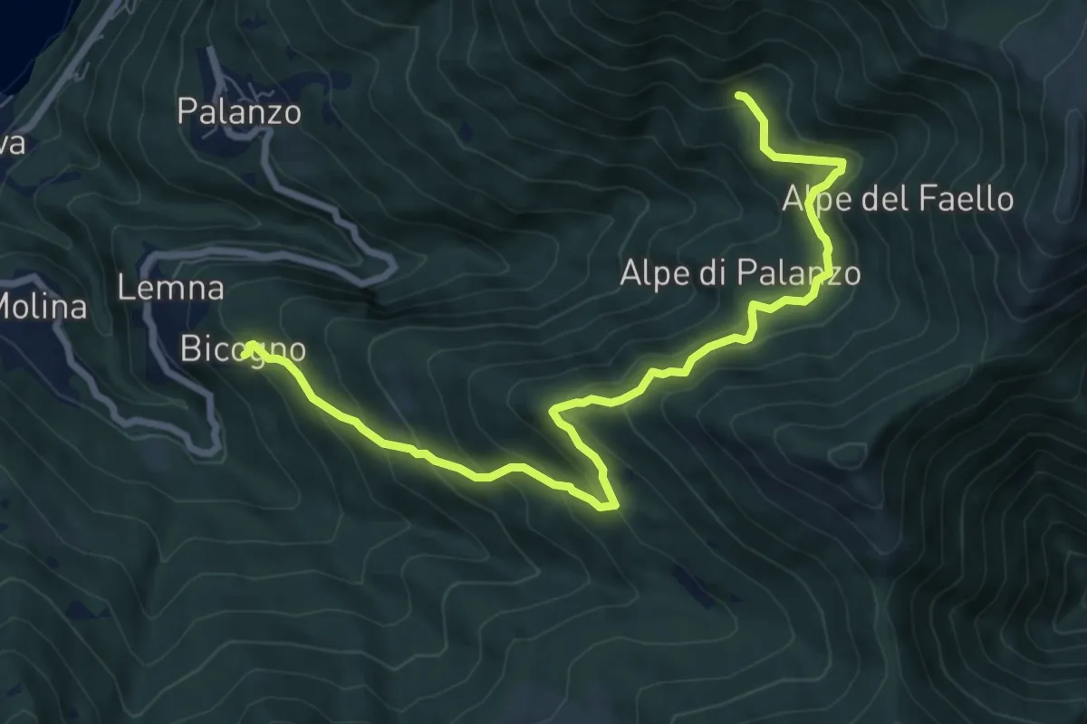
Medium · Trail
Bicogno – Alpe di Palanzo
8.7 km · ↑ 642 m · 3 h 27 min · 13 km away
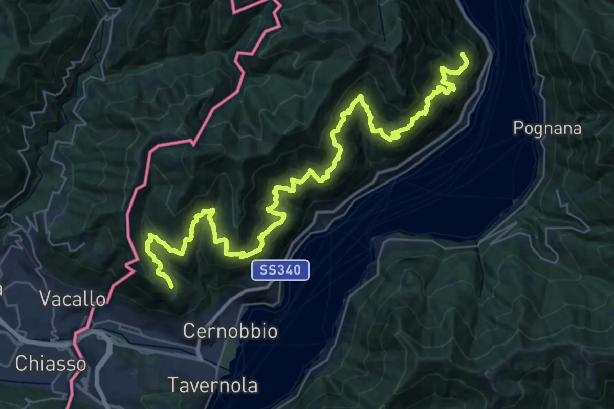
Expert · Trail
Sentiero mezza costa
16.5 km · ↑ 1501 m · 7 h 25 min · 13 km away
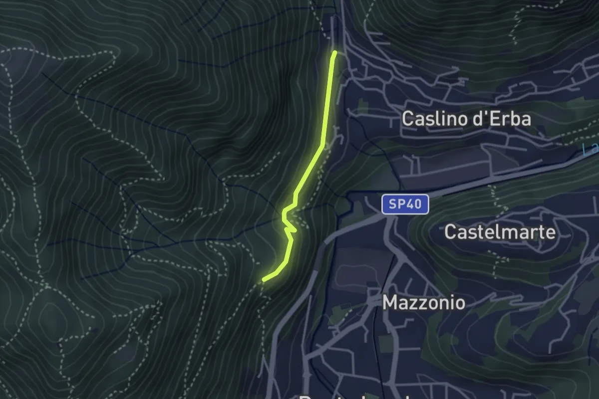
Demanding · Trail
Caslino d’Erba, loc. Punt di Murnèe – incrocio con sentiero 312 per Monte Puscio
2.3 km · ↑ 102 m · 46 min · 13 km away
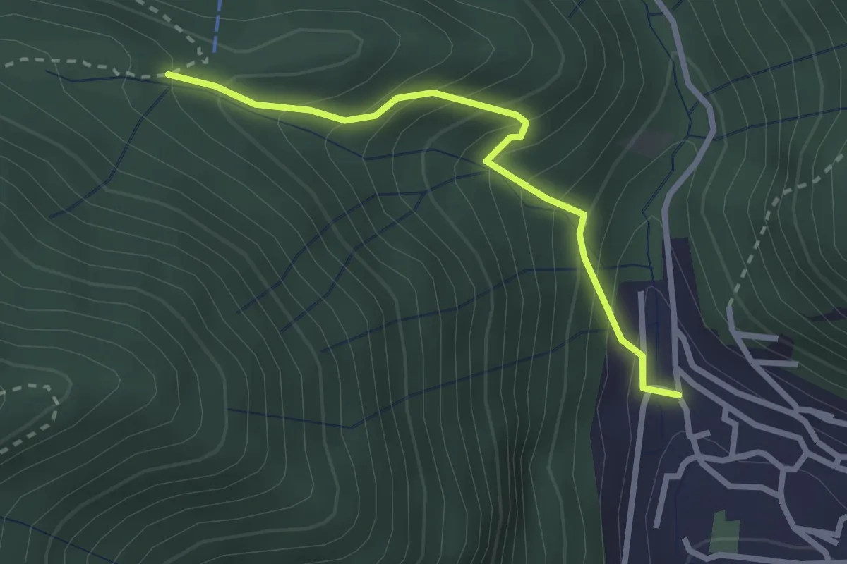
Easy · Trail
Sentiero Tamon - variante per Capanna Mara
2.5 km · ↑ 283 m · 1 h 12 min · 13 km away
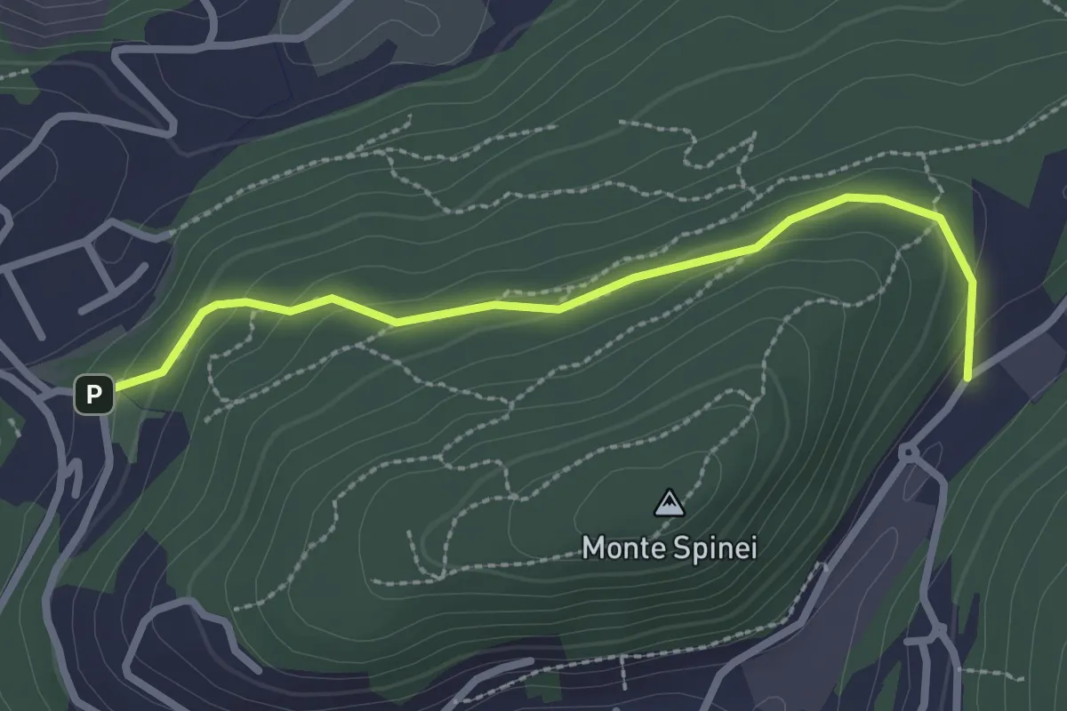
Easy · Trail
Bosco della Gualdera – Zona industriale di Proseprio
2.6 km · ↑ 85 m · 48 min · 13 km away
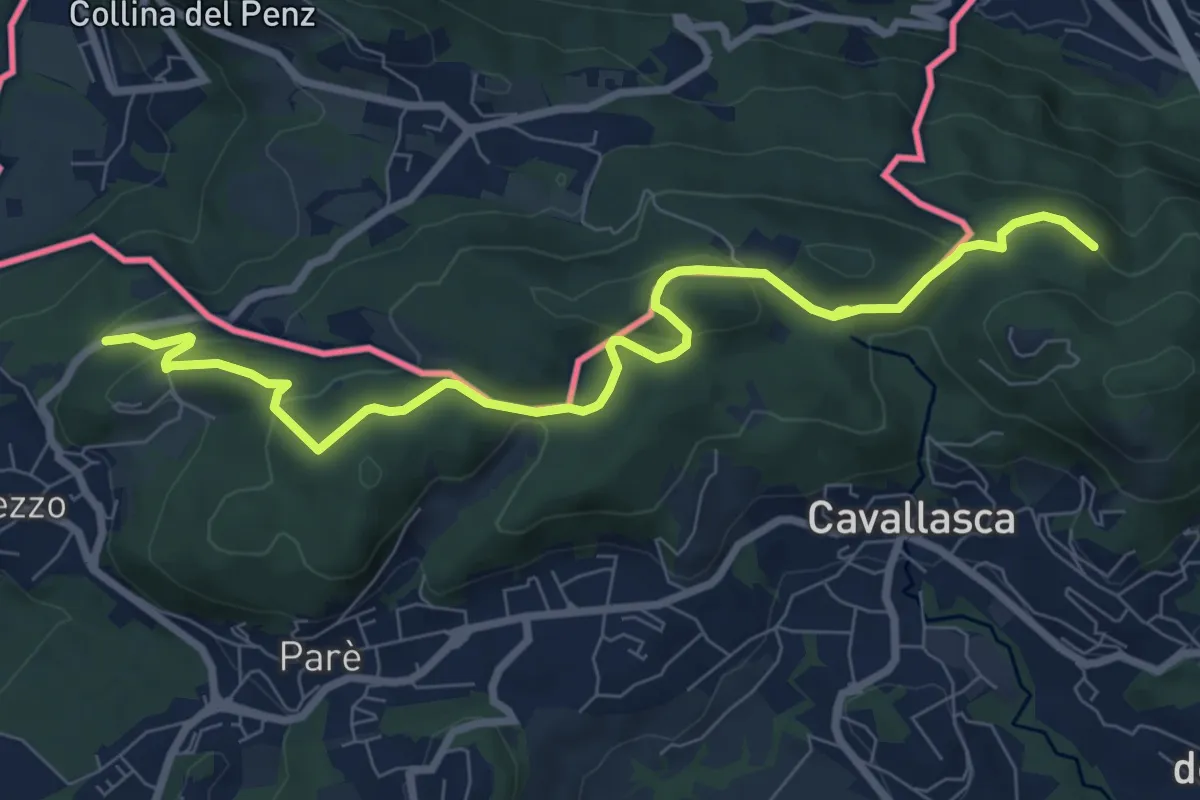
Medium · Trail
Confinale
9.1 km · ↑ 322 m · 2 h 50 min · 13 km away
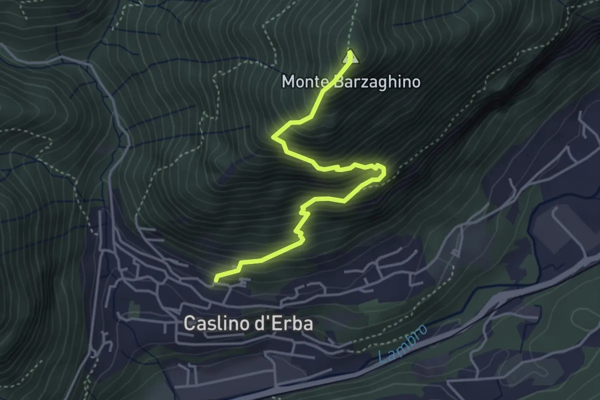
Demanding · Summit
Caslino d’Erba – Via ai Ronchi – Monte Barzaghino
3.9 km · ↑ 614 m · 2 h 15 min · 14 km away
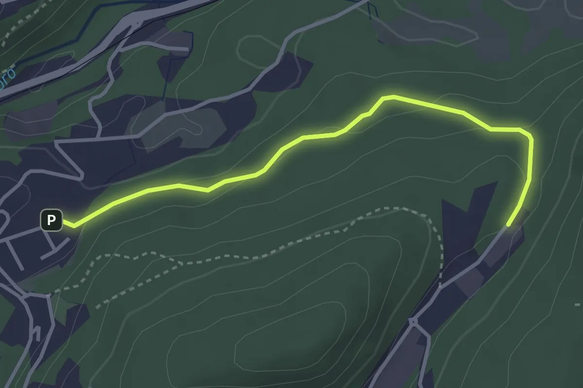
Easy · Trail
Sasso del Numero – Zona industriale di Proseprio
3.3 km · ↑ 99 m · 59 min · 14 km away
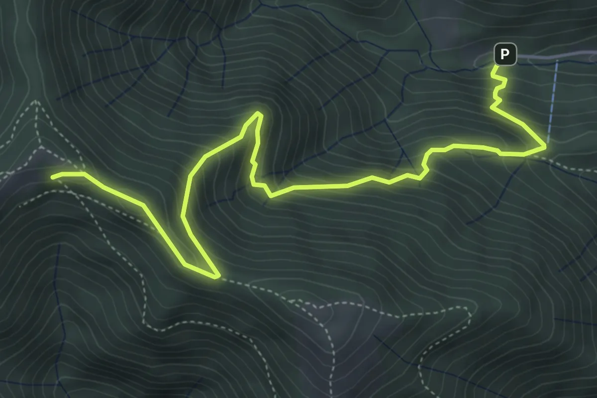
Medium · Cabin
Alpe del Prina – Rifugio Capanna Mara
6.2 km · ↑ 586 m · 2 h 44 min · 14 km away
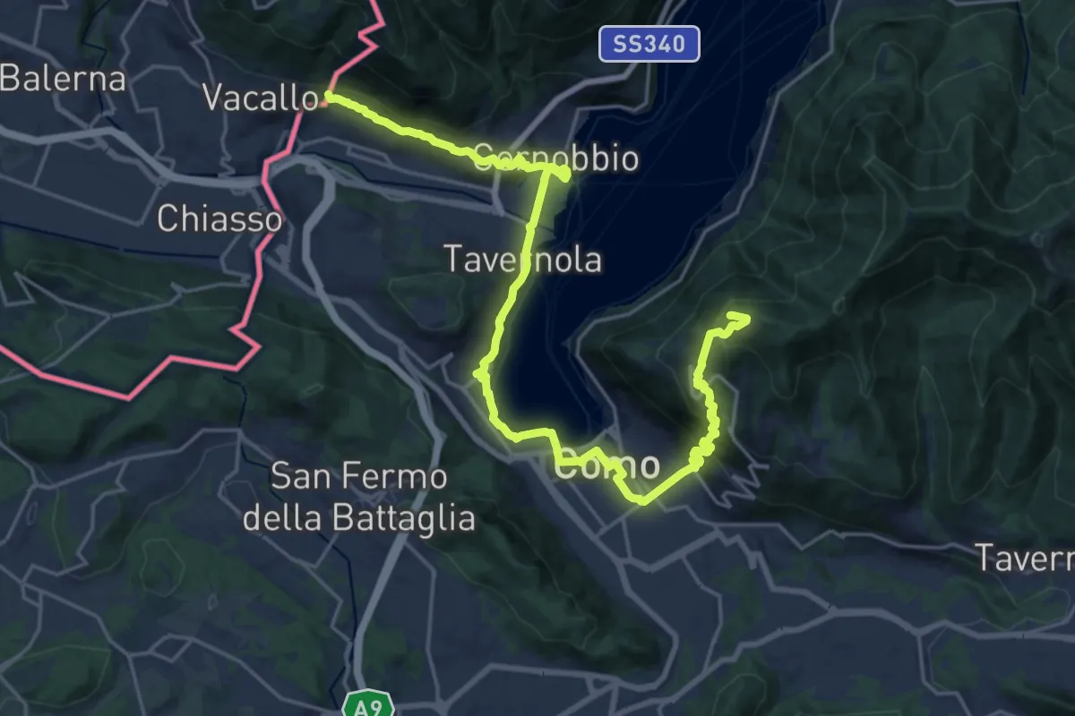
Demanding · Summit
Lake Como Poetry Way
25.8 km · ↑ 1054 m · 8 h 22 min · 14 km away