Trails near Cantù
118 hikes starting within 15 km, nearest first.
Nearest first, page 3 of 3
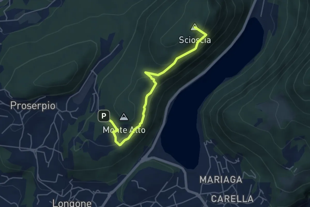
Demanding · Summit
Inarca (Proserpio) – Monte Scioscia
4.3 km · ↑ 243 m · 1 h 33 min · 14 km away
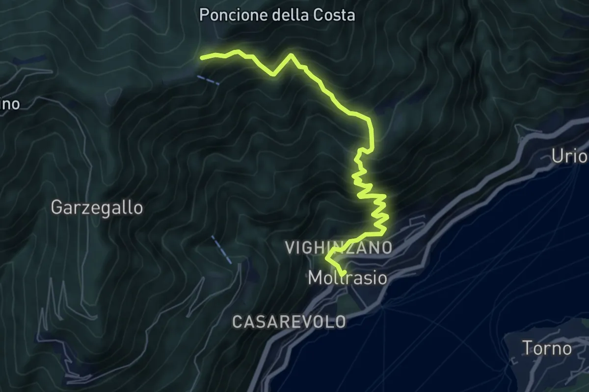
Demanding · Cabin
Moltrasio - Rifugio Bugone
7.1 km · ↑ 891 m · 3 h 36 min · 14 km away
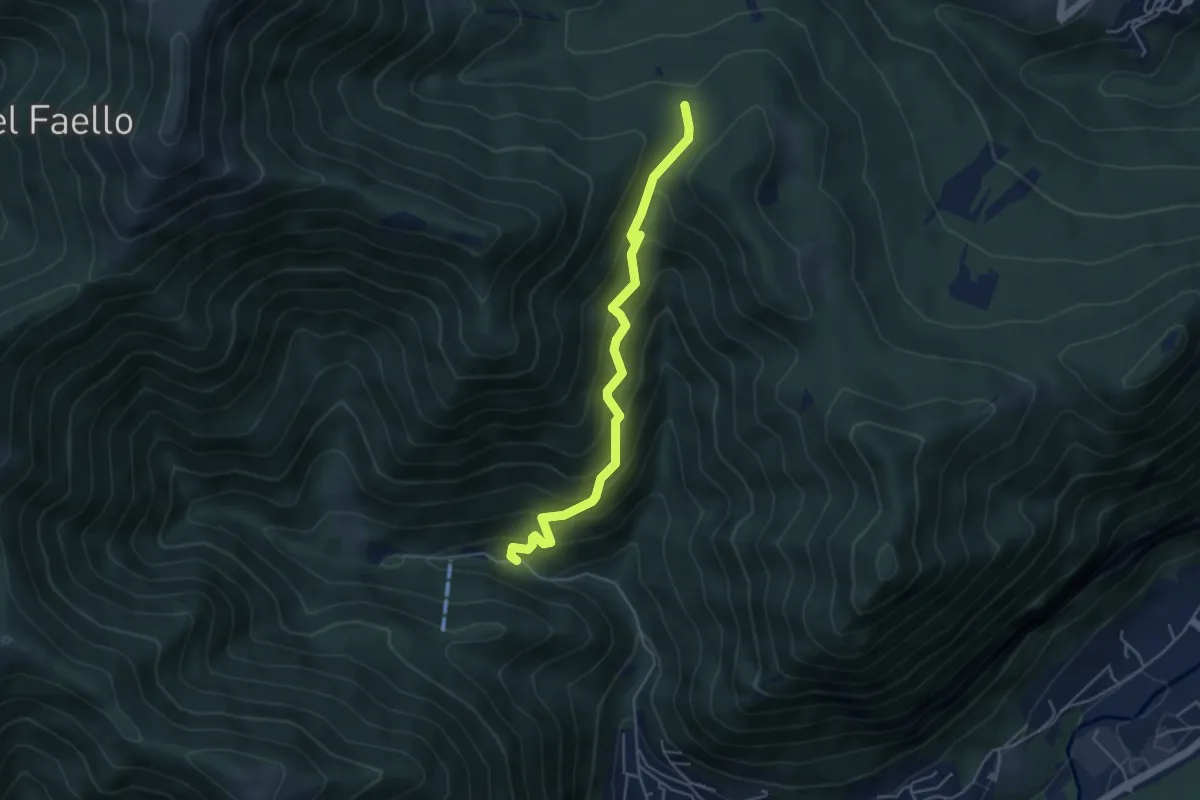
Medium · Trail
Forum Franciscanum – Bocchetta della Vallunga
4.6 km · ↑ 458 m · 2 h 5 min · 14 km away
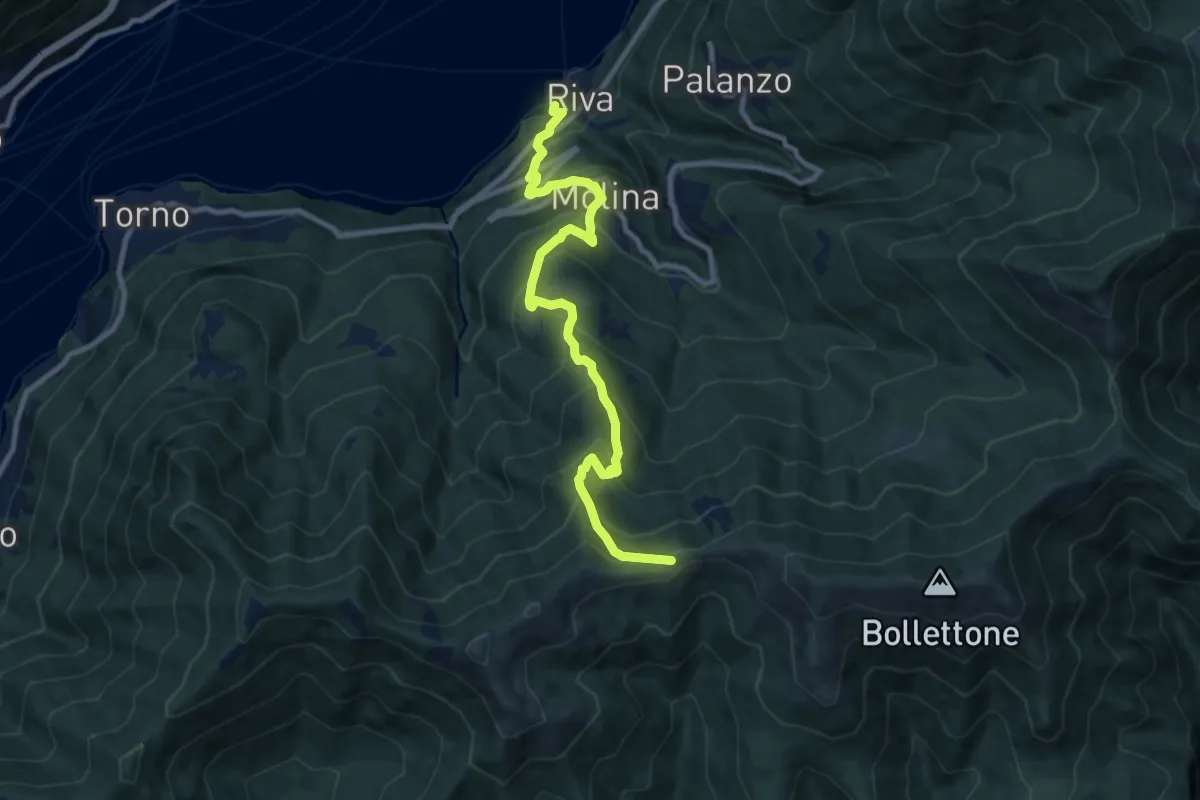
Demanding · Trail
Imbarcadero di Faggeto Lario – Bocchetta di Molina
10.0 km · ↑ 918 m · 4 h 22 min · 14 km away
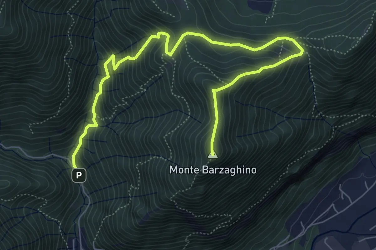
Demanding · Summit
strada per Forum Franciscanum – Monte Barzaghino
8.0 km · ↑ 642 m · 3 h 17 min · 14 km away
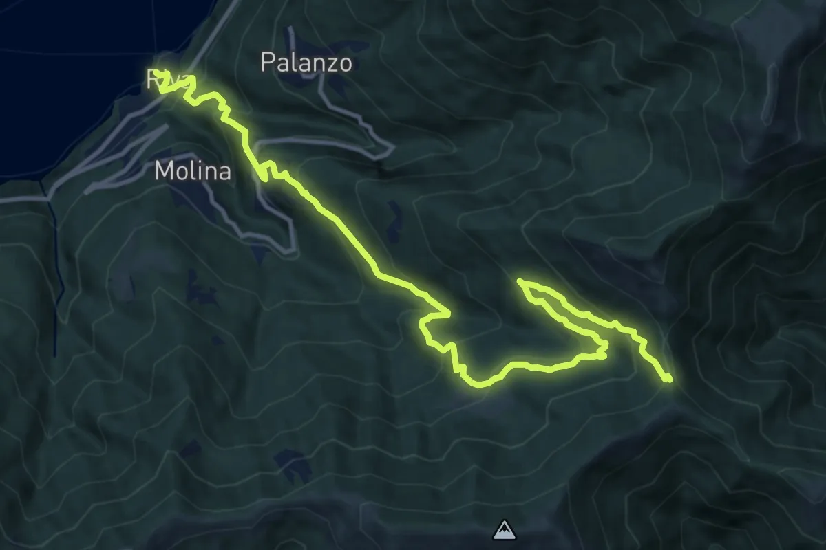
Demanding · Trail
Riva (Faggeto Lario) – Bocchetta di Lemna
14.6 km · ↑ 1011 m · 5 h 39 min · 14 km away
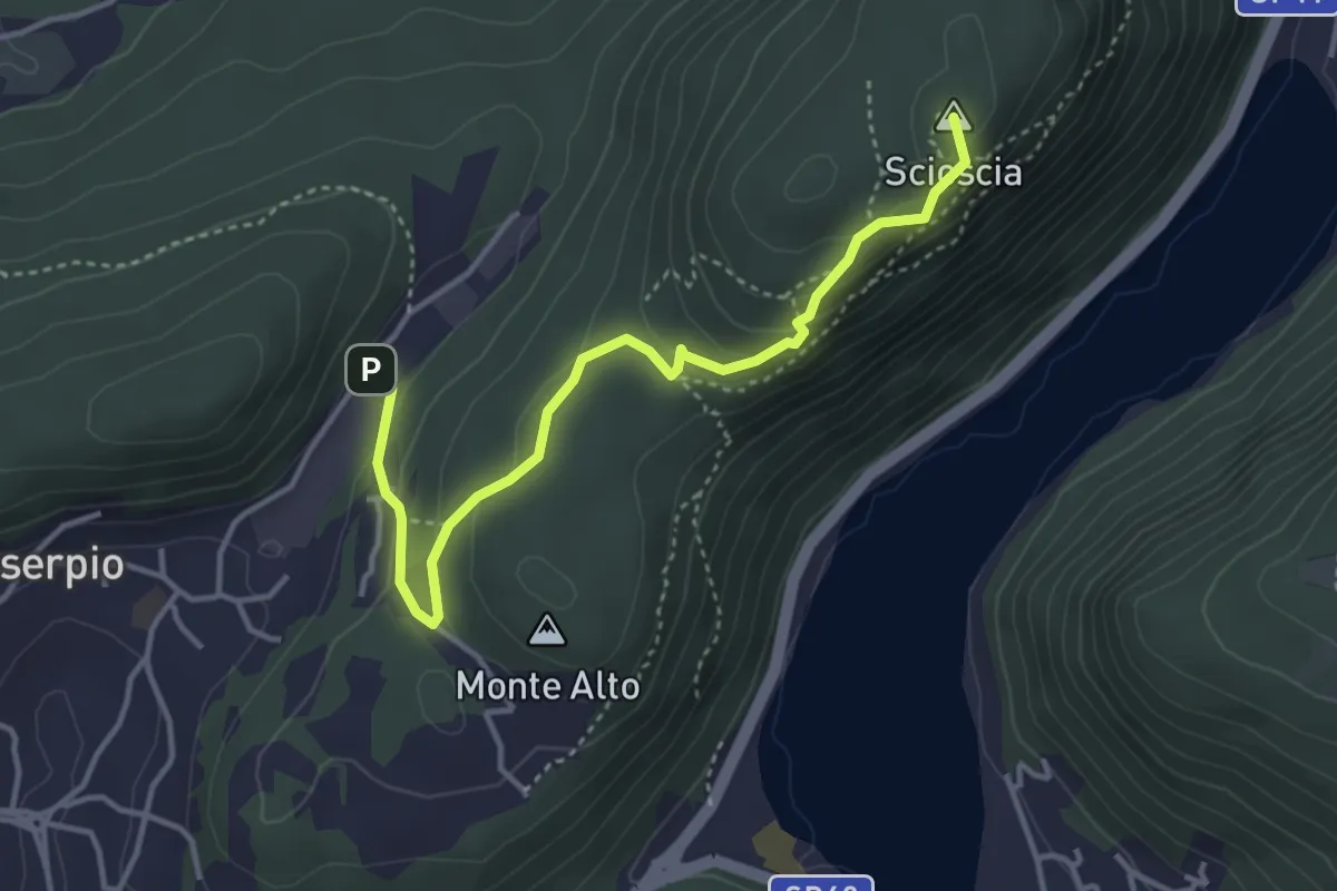
Demanding · Summit
Zona industriale di Proseprio – Canzo
4.1 km · ↑ 185 m · 1 h 21 min · 14 km away
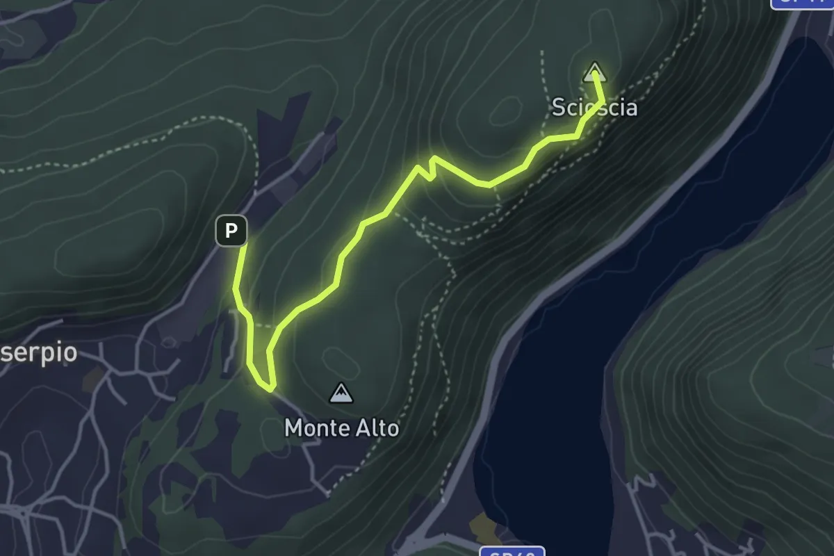
Easy · Summit
Zona industriale di Proseprio – Canzo
4.0 km · ↑ 173 m · 1 h 19 min · 14 km away
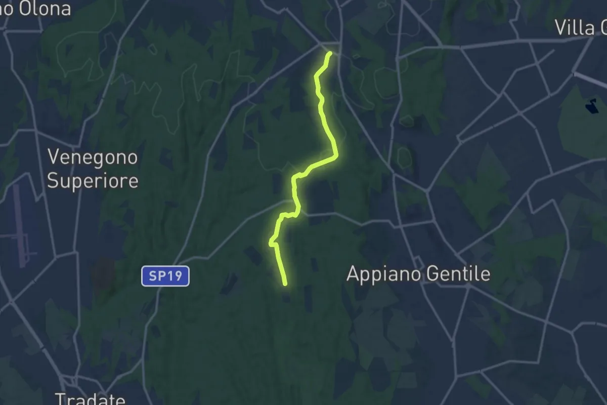
Medium · Trail
Sentiero 847
10.4 km · ↑ 81 m · 2 h 38 min · 14 km away
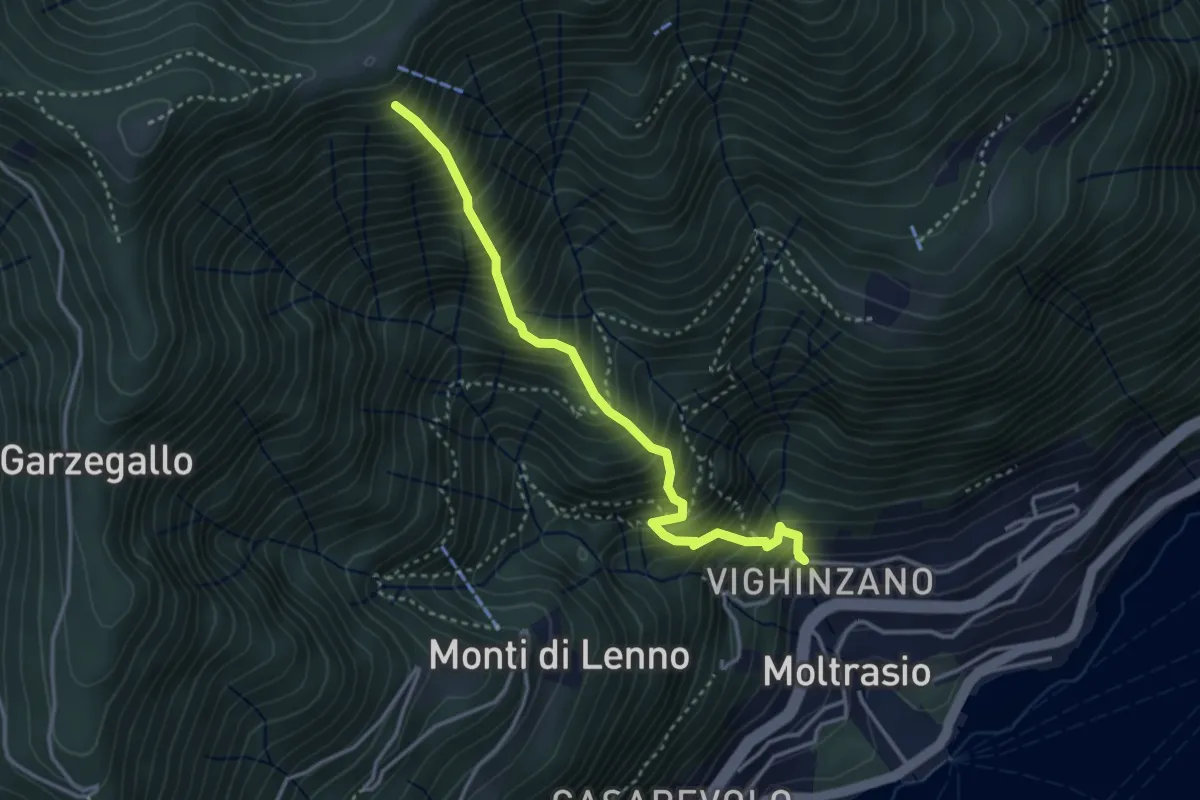
Medium · Trail
Sentee La Culman
3.5 km · ↑ 737 m · 2 h 25 min · 14 km away
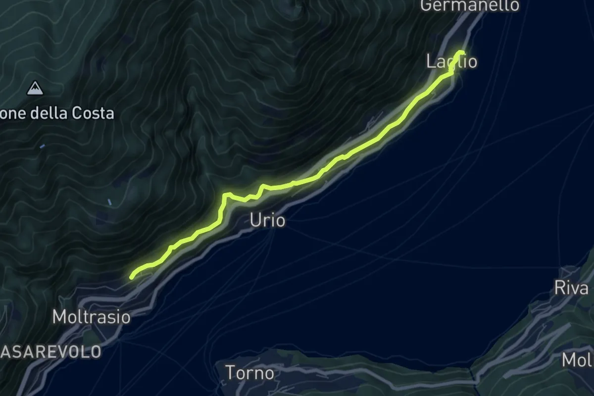
Medium · Trail
Via Verde
7.4 km · ↑ 362 m · 2 h 31 min · 14 km away
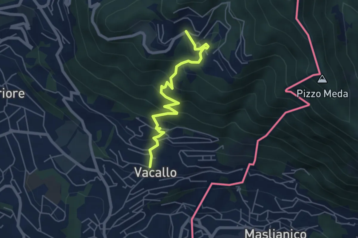
Medium · Trail
Sagno – Vacallo
4.5 km · ↑ 359 m · 1 h 50 min · 14 km away
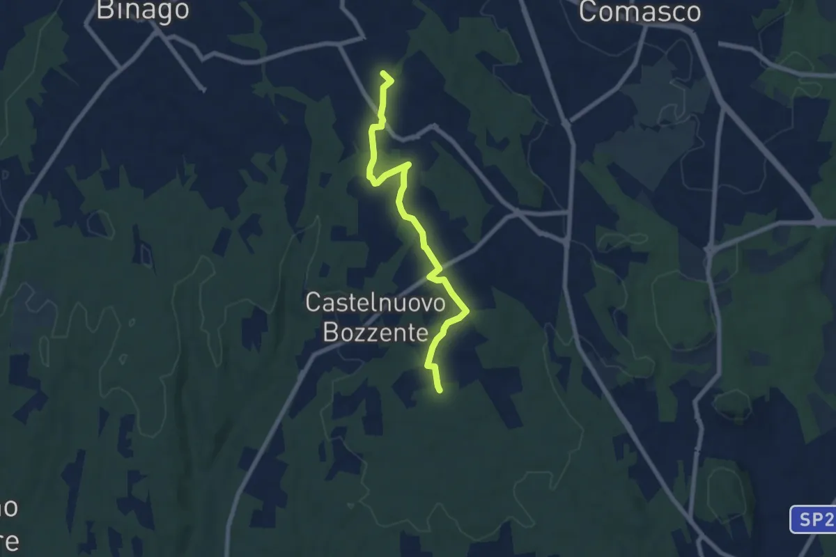
Easy · Trail
Sentiero 846B
6.5 km · ↑ 44 m · 1 h 38 min · 14 km away
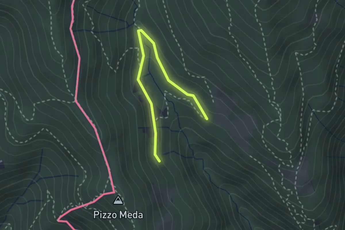
Easy · Trail
Cernobbio-Monte Bisbino
2.5 km · ↑ 103 m · 49 min · 14 km away
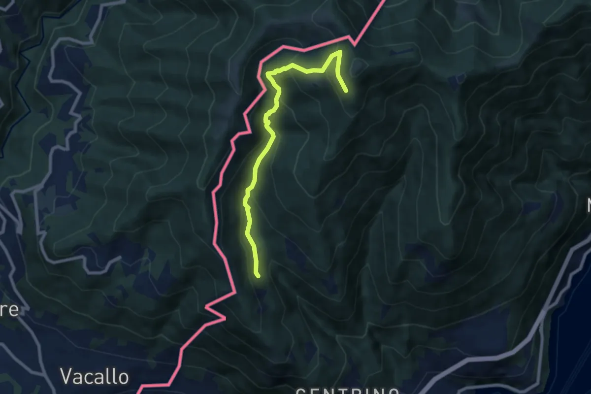
Medium · Trail
Como (Monte Olimpino) – Rifugio Prabello
6.7 km · ↑ 510 m · 2 h 42 min · 14 km away
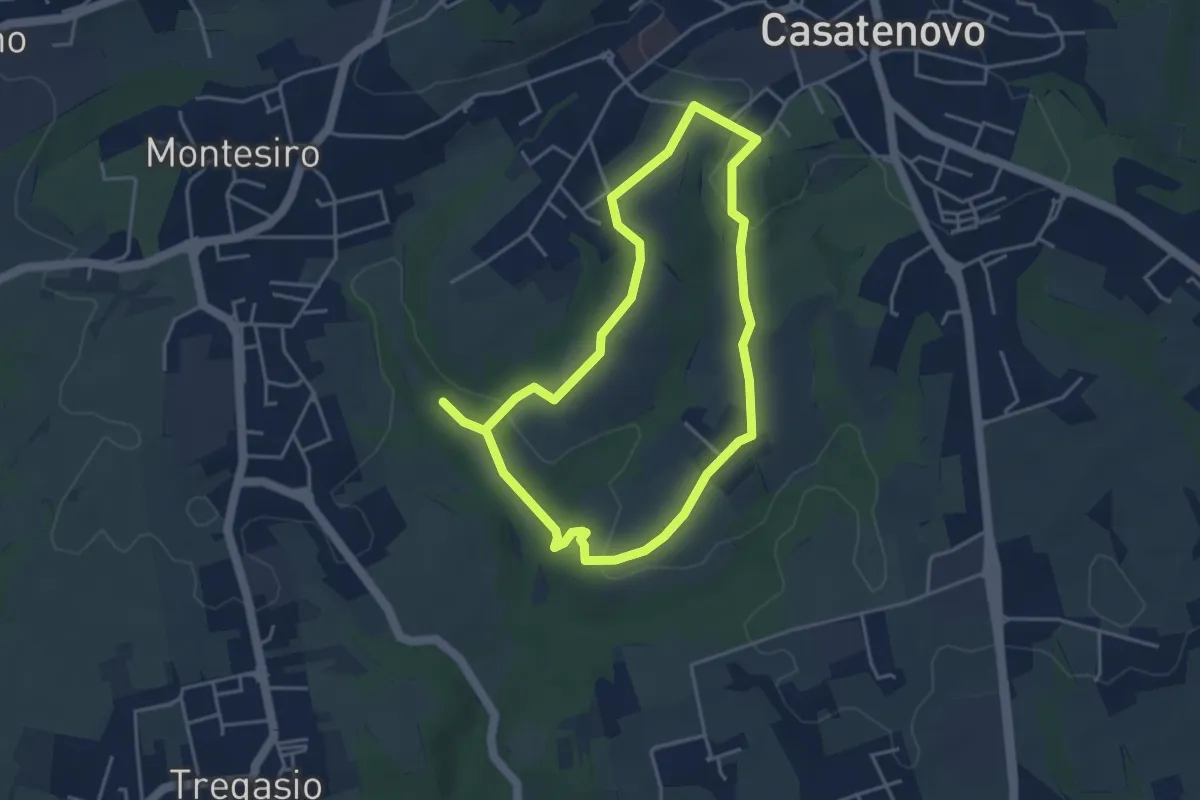
Easy · Trail
A Casatenovo tra ricchi e poveri
3.8 km · ↑ 74 m · 1 h 6 min · 14 km away
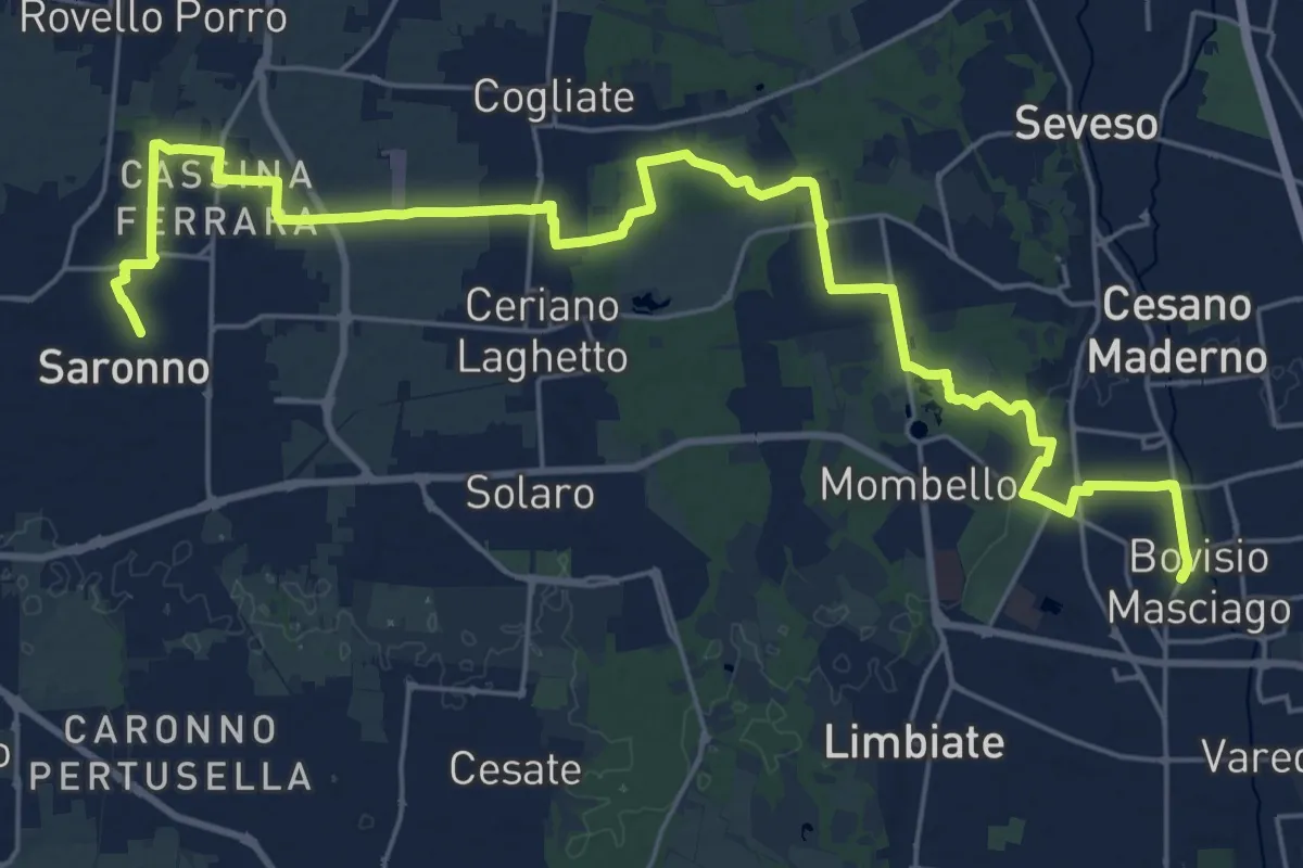
Demanding · Trail
Cammino Montiano
30.9 km · ↑ 93 m · 7 h 30 min · 14 km away
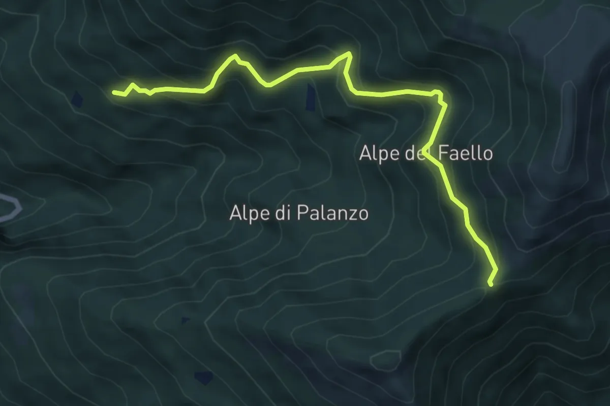
Medium · Trail
Il Gaggio (Faggeto Lario) – Bocchetta di Palanzo
5.8 km · ↑ 475 m · 2 h 24 min · 14 km away
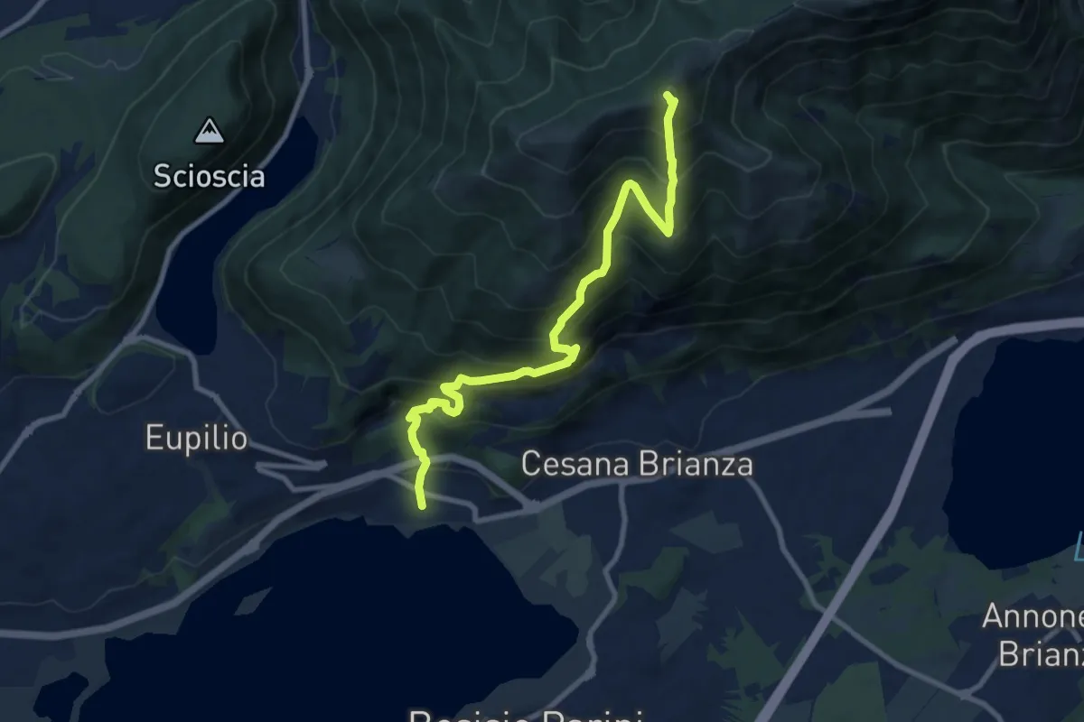
Demanding · Summit
Pusiano – Monte Cornizzolo
9.6 km · ↑ 1053 m · 4 h 32 min · 15 km away
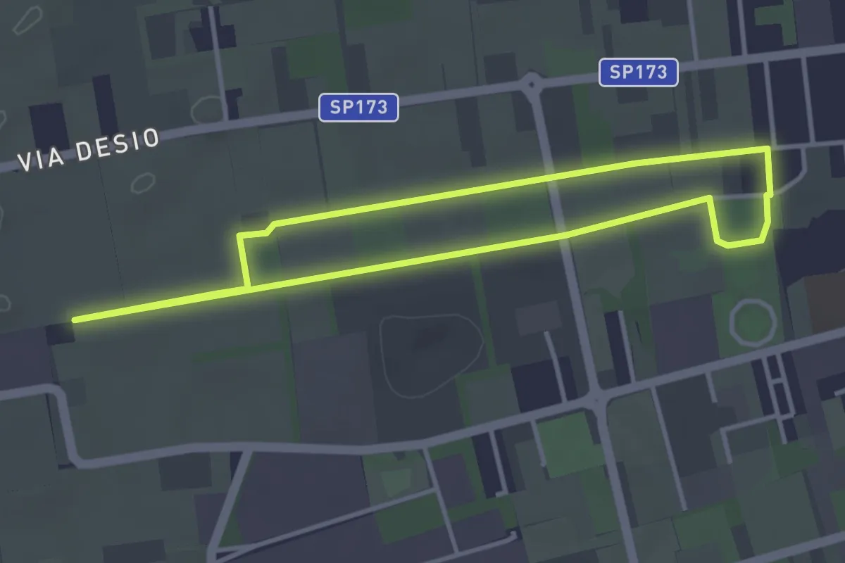
Easy · Trail
Bertacciola
3.4 km · ↑ 9 m · 52 min · 15 km away
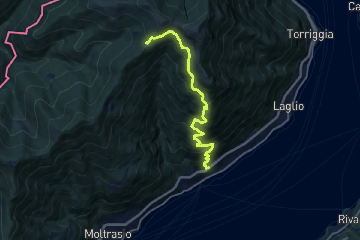
Demanding · Cabin
Carate Urio – Rifugio Murelli
8.7 km · ↑ 1038 m · 4 h 19 min · 15 km away
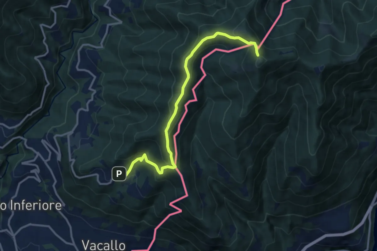
Medium · Trail
Sagno – Monte Bisbino
9.3 km · ↑ 597 m · 3 h 30 min · 15 km away