Trails near Capannori
82 hikes starting within 15 km, nearest first.
Nearest first, page 1 of 2
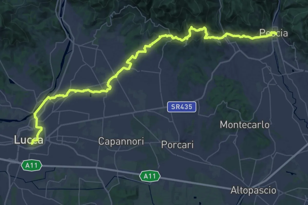
Demanding · Trail
Il Cammino di San Jacopo - Tappa 4
24.4 km · ↑ 550 m · 7 h 16 min · 5 km away
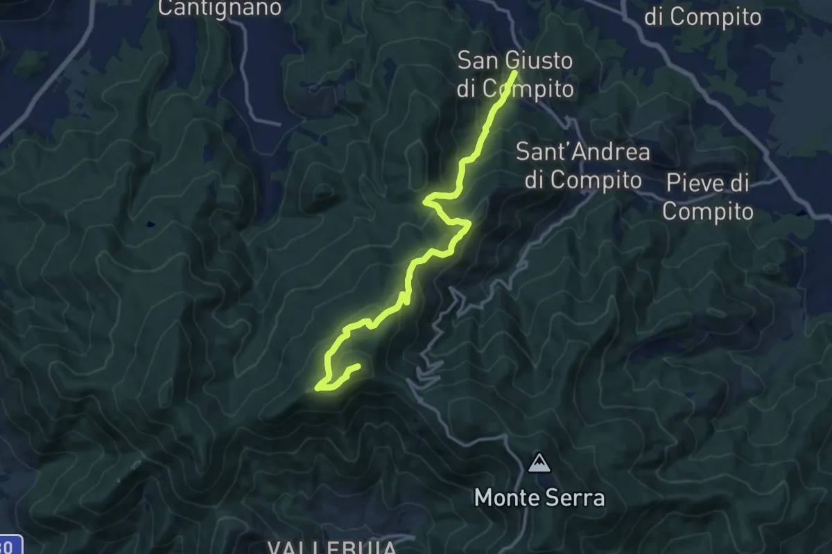
Demanding · Summit
San Giusto – Santallago - Spuntone di Santallago
13.8 km · ↑ 836 m · 5 h 4 min · 6 km away
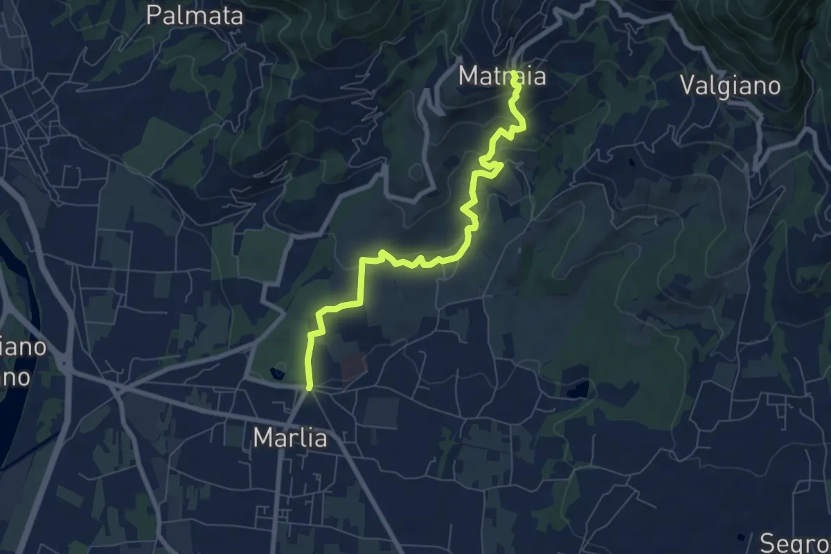
Easy · Trail
Sentiero n.11 "Colline capannoresi"
7.4 km · ↑ 287 m · 2 h 23 min · 6 km away
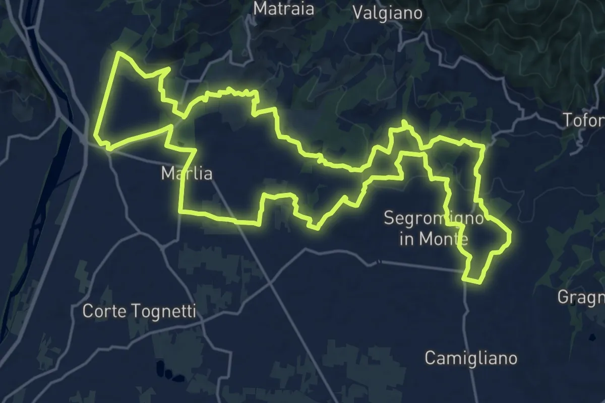
Demanding · Trail
Tour delle Ville
22.5 km · ↑ 357 m · 6 h 25 min · 6 km away
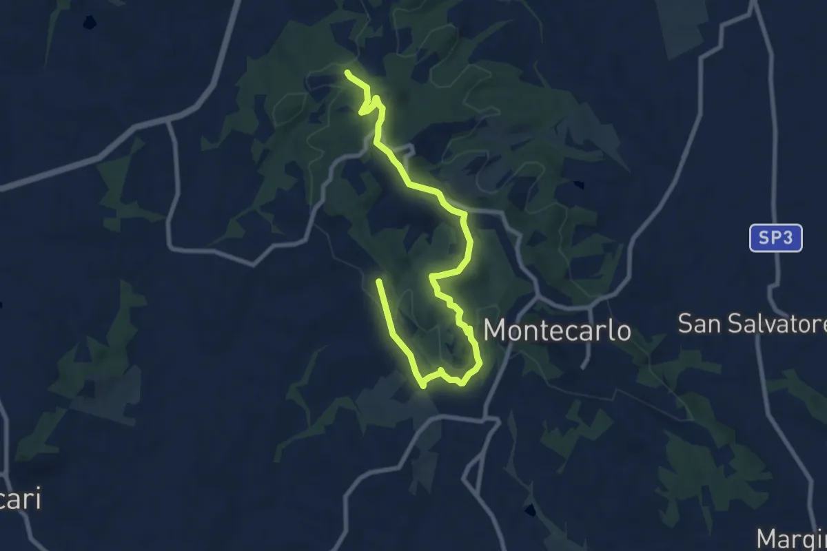
Medium · Trail
Anello Ovest di Montecarlo
9.4 km · ↑ 221 m · 2 h 42 min · 6 km away
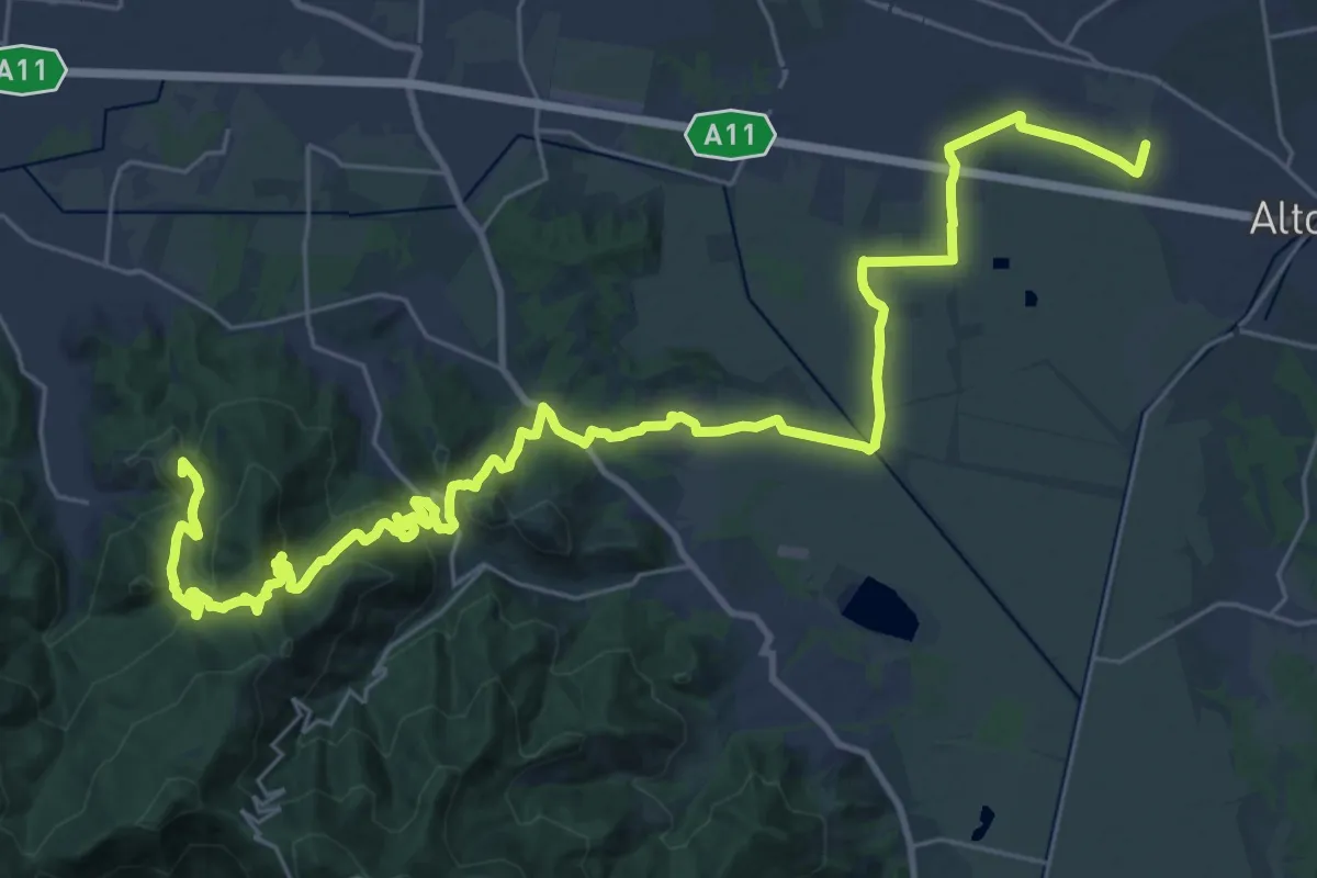
Demanding · Summit
Via Francigena - Variante Sant'Andrea di Compito
20.5 km · ↑ 689 m · 6 h 31 min · 6 km away
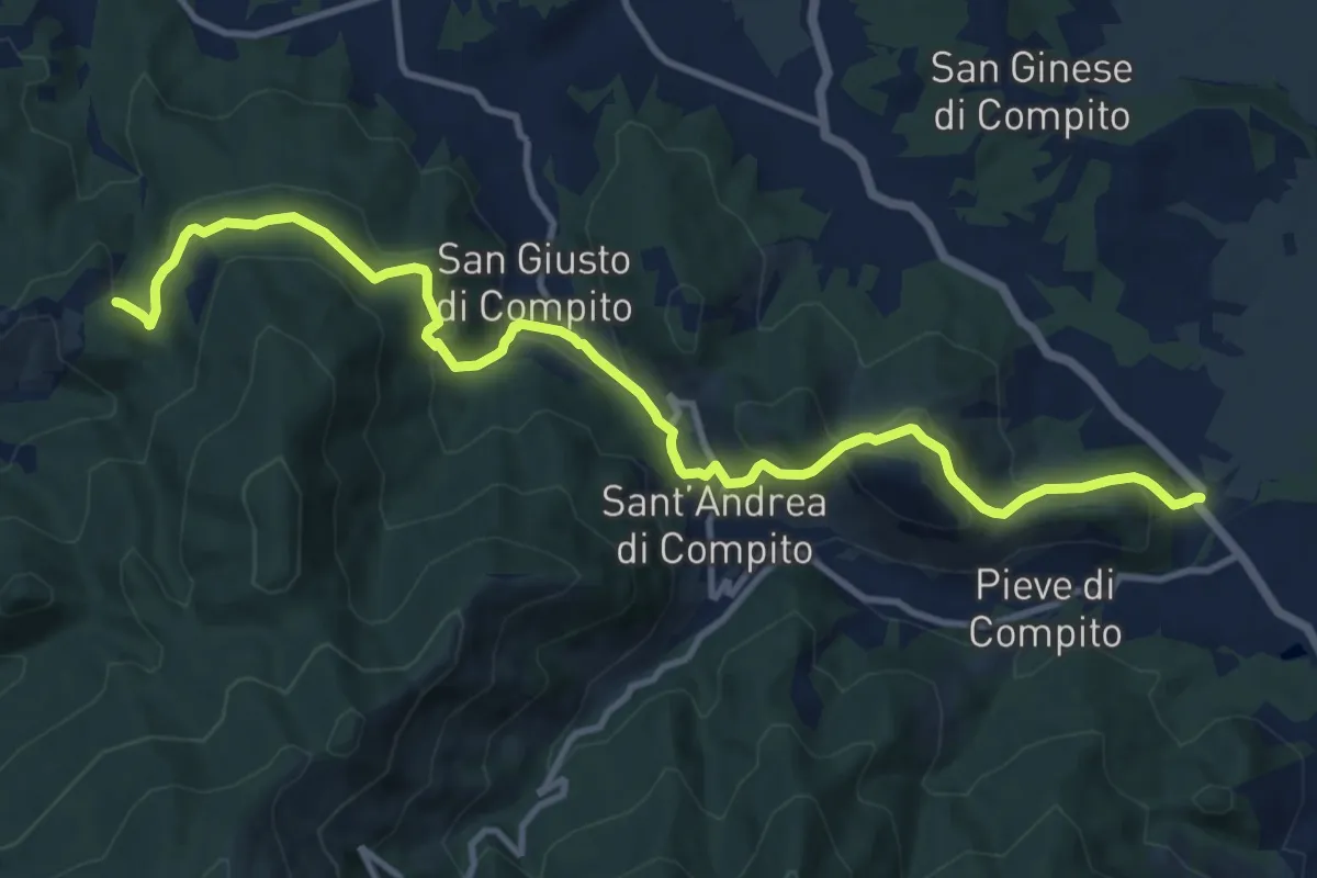
Medium · Trail
Traversale di Compito
13.8 km · ↑ 627 m · 4 h 37 min · 7 km away
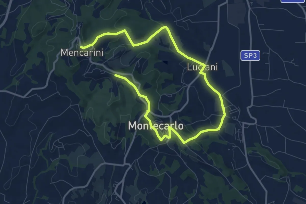
Medium · Trail
Anello Est di Montecarlo
13.8 km · ↑ 296 m · 3 h 54 min · 7 km away
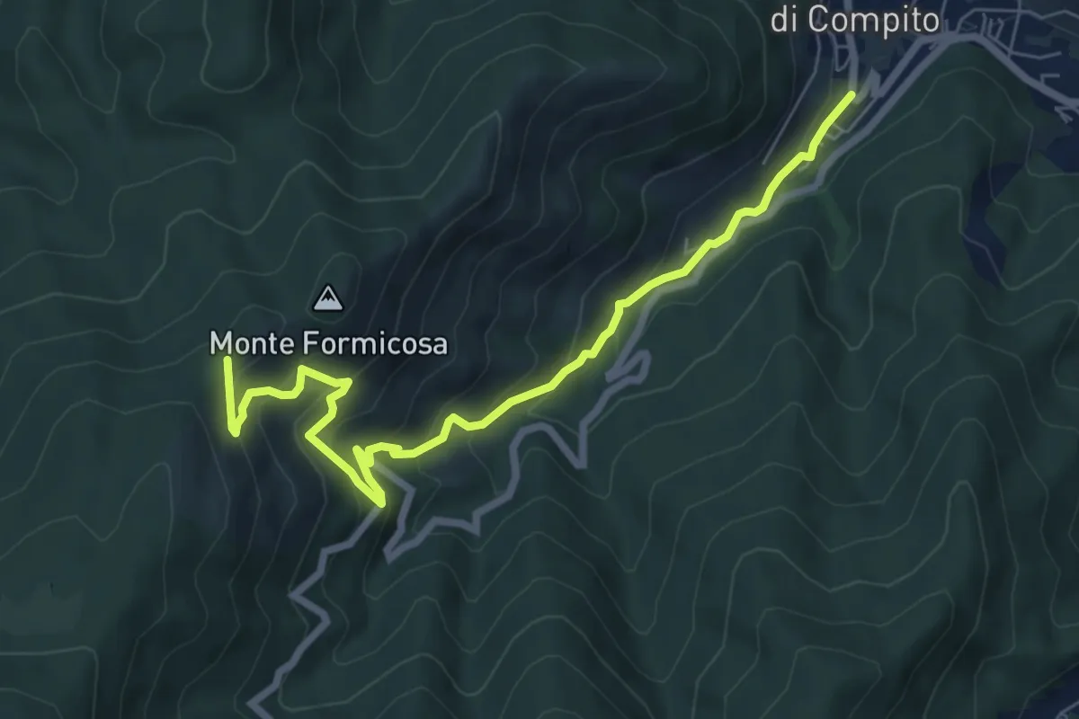
Medium · Trail
Fosso del Lupo
7.8 km · ↑ 526 m · 2 h 59 min · 7 km away
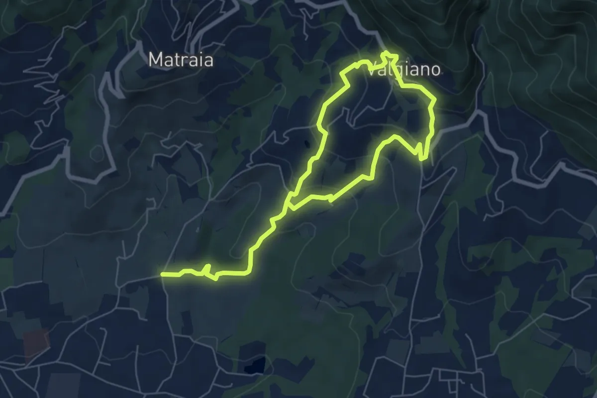
Easy · Trail
Sentiero n.12 "Valgiano"
5.1 km · ↑ 232 m · 1 h 48 min · 7 km away
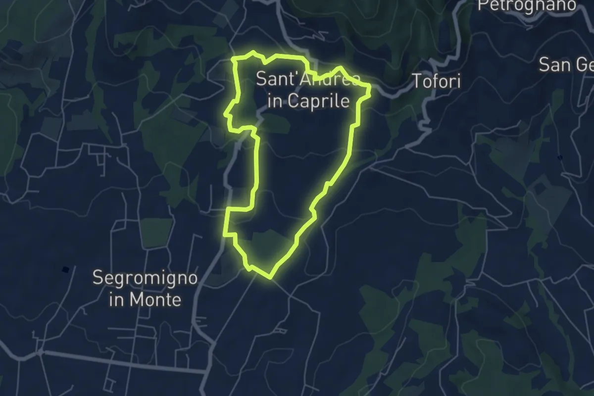
Easy · Trail
Sentiero n.14 "Sant'Andrea in Caprile"
5.2 km · ↑ 192 m · 1 h 43 min · 7 km away
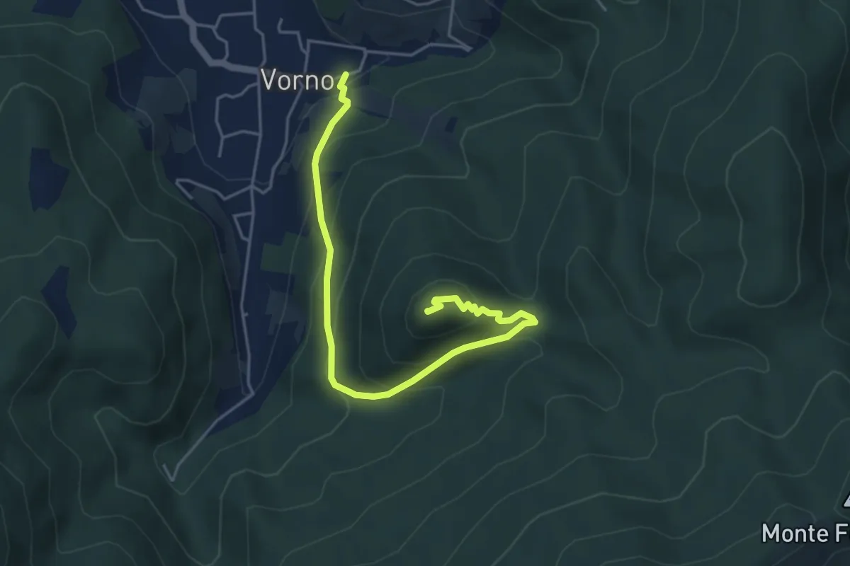
Medium · Summit
Vorno – Monte Zano
5.1 km · ↑ 361 m · 1 h 59 min · 8 km away
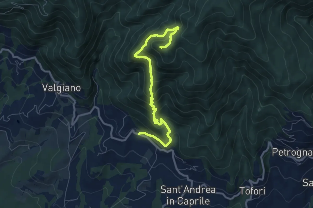
Medium · Summit
Sentiero n.4 "Monte Scarpiglione"
7.7 km · ↑ 632 m · 3 h 11 min · 8 km away
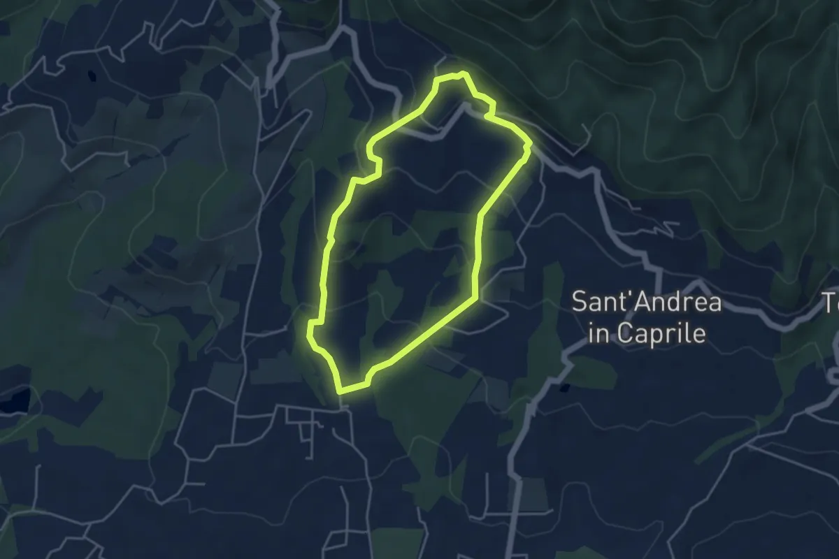
Easy · Trail
Sentiero n.13 "San Pietro a Marcigliano"
3.9 km · ↑ 213 m · 1 h 26 min · 8 km away
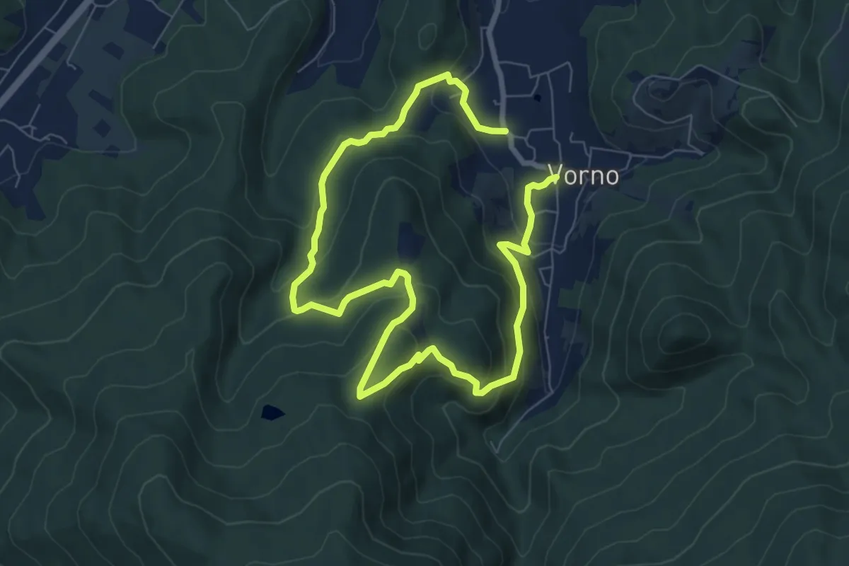
Expert · Summit
Anello di Vorno e Coselli
6.0 km · ↑ 313 m · 2 h 11 min · 8 km away
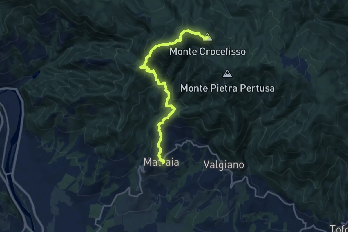
Medium · Summit
Sentiero n.1 "Monte Gromigno"
11.1 km · ↑ 779 m · 4 h 18 min · 8 km away
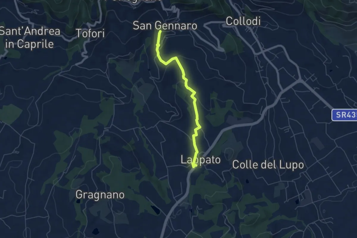
Easy · Trail
Sentiero n.16 "San Gennaro"
5.6 km · ↑ 172 m · 1 h 41 min · 8 km away
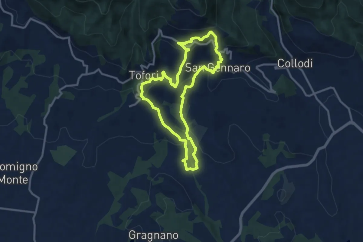
Medium · Trail
Sentiero n.15 "Petrognano"
7.1 km · ↑ 359 m · 2 h 33 min · 8 km away
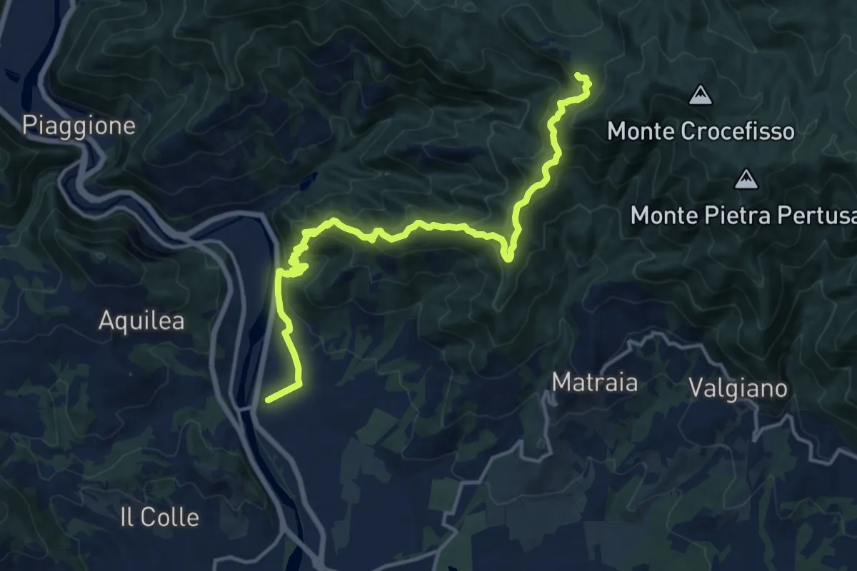
Demanding · Trail
Ponte a Moriano – Tubbiano
16.0 km · ↑ 987 m · 5 h 56 min · 8 km away
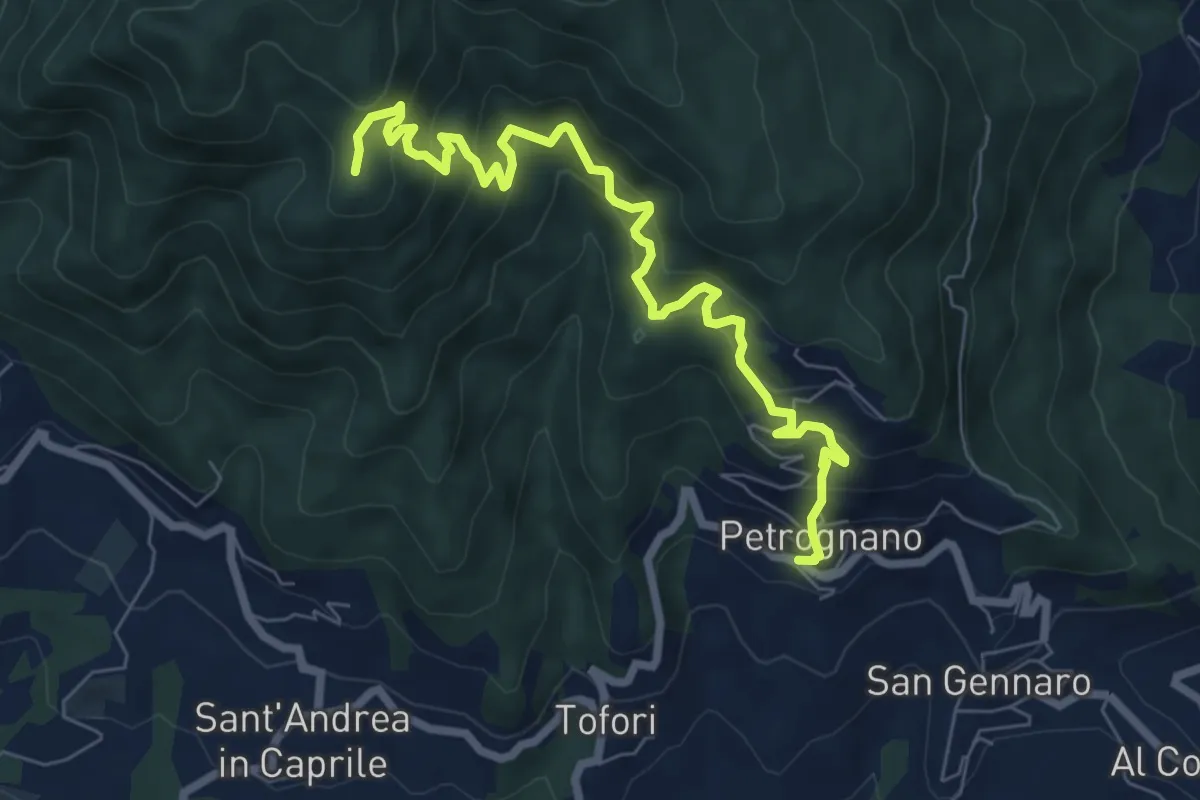
Demanding · Trail
Sentiero n.6 "Querce del Papa"
8.2 km · ↑ 820 m · 3 h 42 min · 9 km away
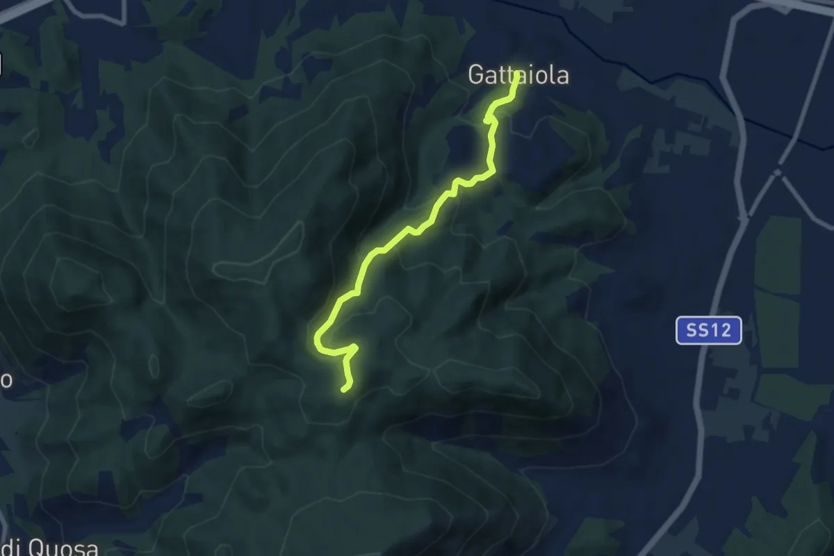
Medium · Trail
Gattaiola – Quattro Venti
7.1 km · ↑ 380 m · 2 h 30 min · 9 km away
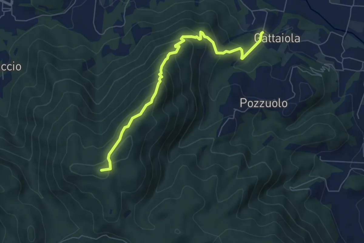
Medium · Summit
Monte della Romagna
6.6 km · ↑ 449 m · 2 h 31 min · 9 km away
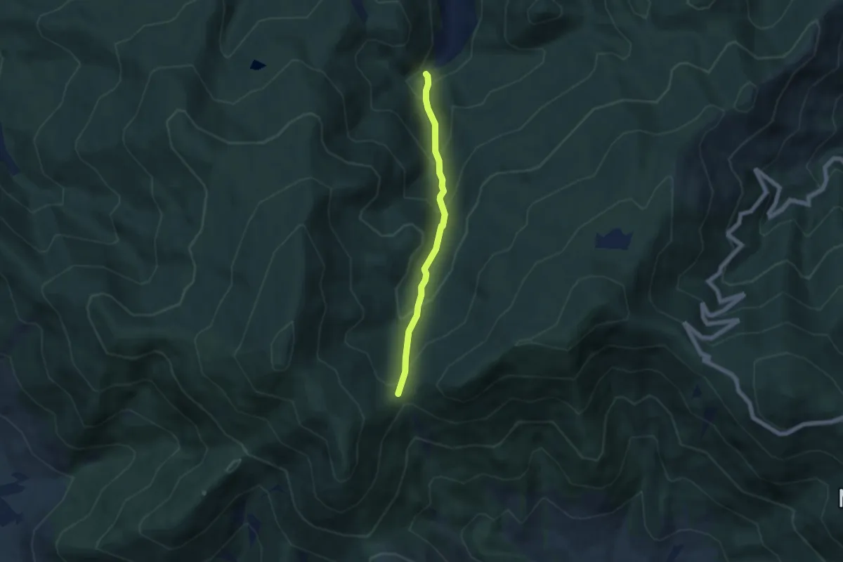
Medium · Trail
Via Calcesana: da Vorno a Campo di Croce
5.0 km · ↑ 425 m · 2 h 6 min · 9 km away
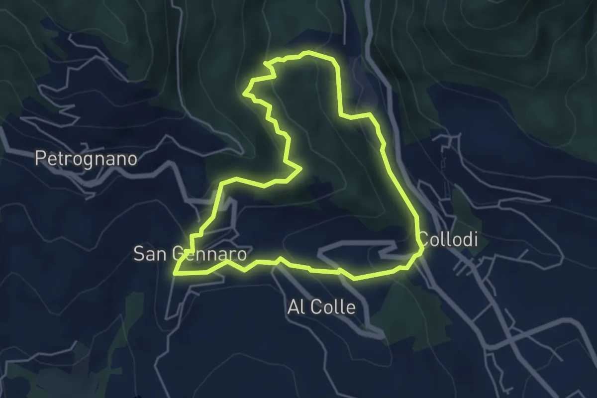
Easy · Trail
Sentiero n.17 "La Pescia"
4.4 km · ↑ 239 m · 1 h 37 min · 9 km away
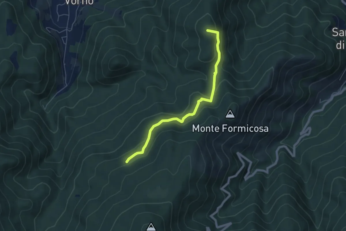
Easy · Summit
Le Parole d'Oro
5.4 km · ↑ 231 m · 1 h 46 min · 9 km away
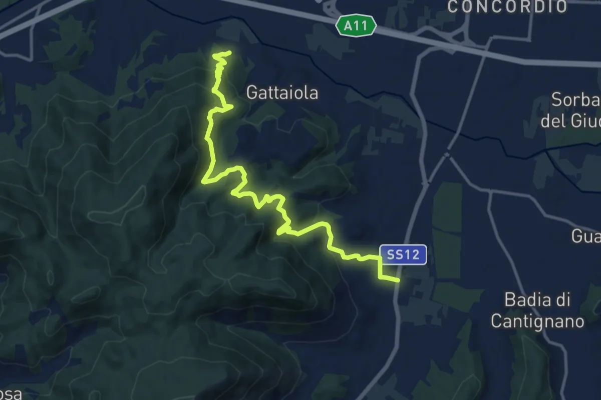
Medium · Trail
Massa Pisana – Pozzuolo
12.8 km · ↑ 735 m · 4 h 37 min · 9 km away
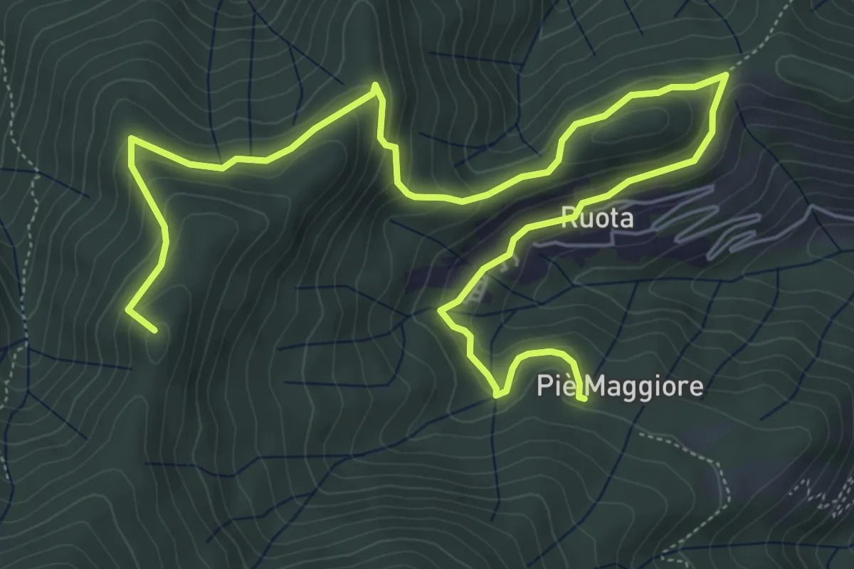
Medium · Summit
Ruota – Sassabodda - Fonte Cavallaia
9.3 km · ↑ 474 m · 3 h 14 min · 9 km away
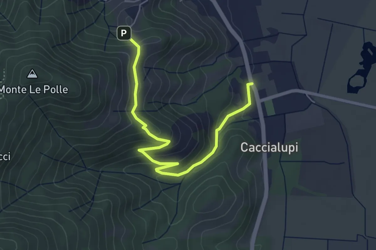
Easy · Trail
Riserva Naturale Bosco di Tanali – Percorso 140
5.5 km · ↑ 207 m · 1 h 45 min · 9 km away
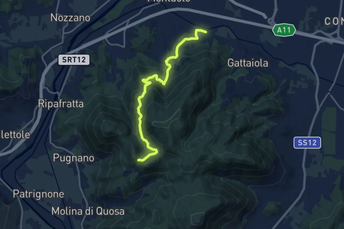
Medium · Trail
Castel Passerino
10.7 km · ↑ 574 m · 3 h 46 min · 9 km away
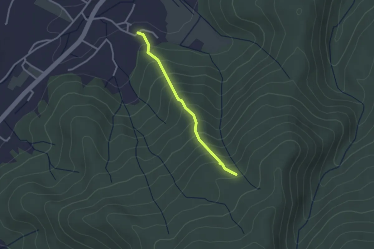
Easy · Trail
Borgo – Fetturina - Bivio Percorso 118
2.2 km · ↑ 232 m · 1 h 1 min · 10 km away
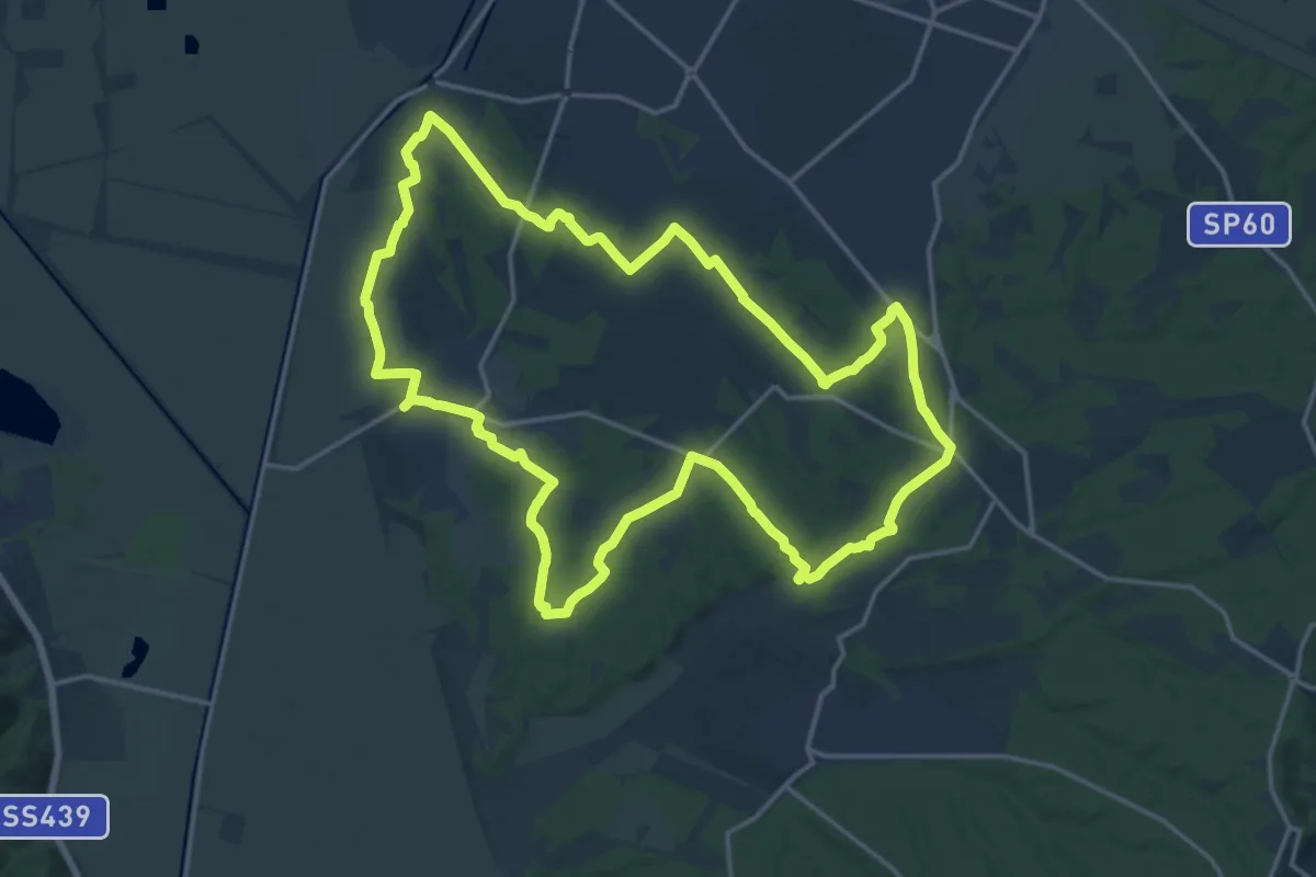
Demanding · Trail
Grande Anello di Orentano
19.4 km · ↑ 112 m · 5 h 6 min · 10 km away
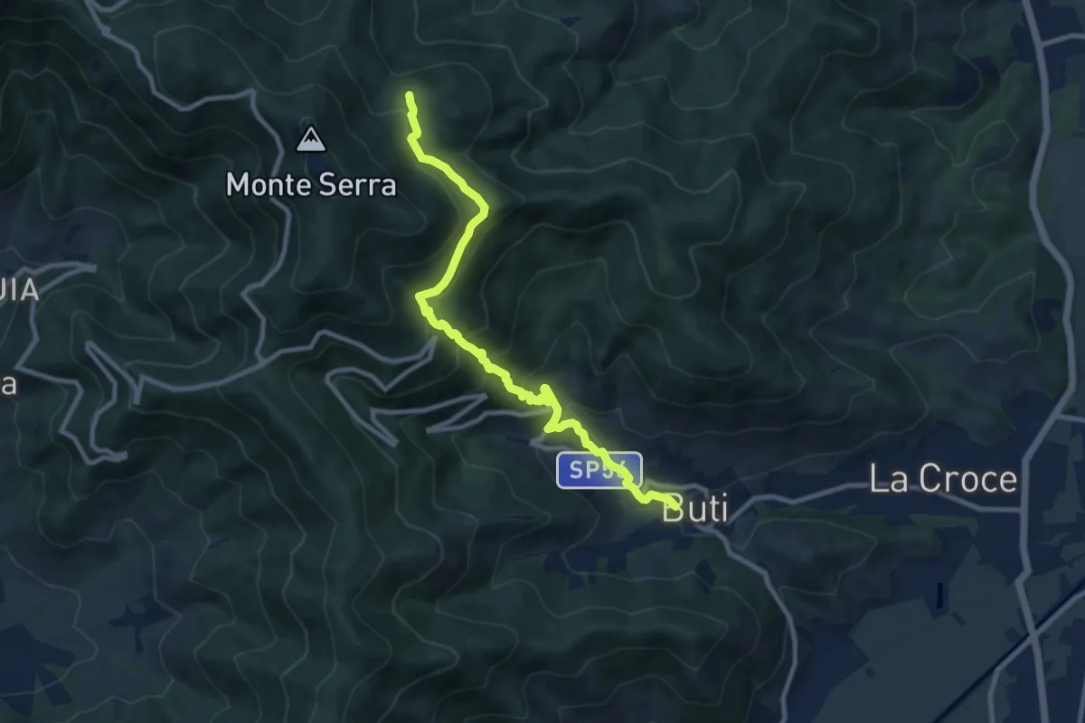
Medium · Trail
Buti – Piambello
10.4 km · ↑ 669 m · 3 h 55 min · 10 km away
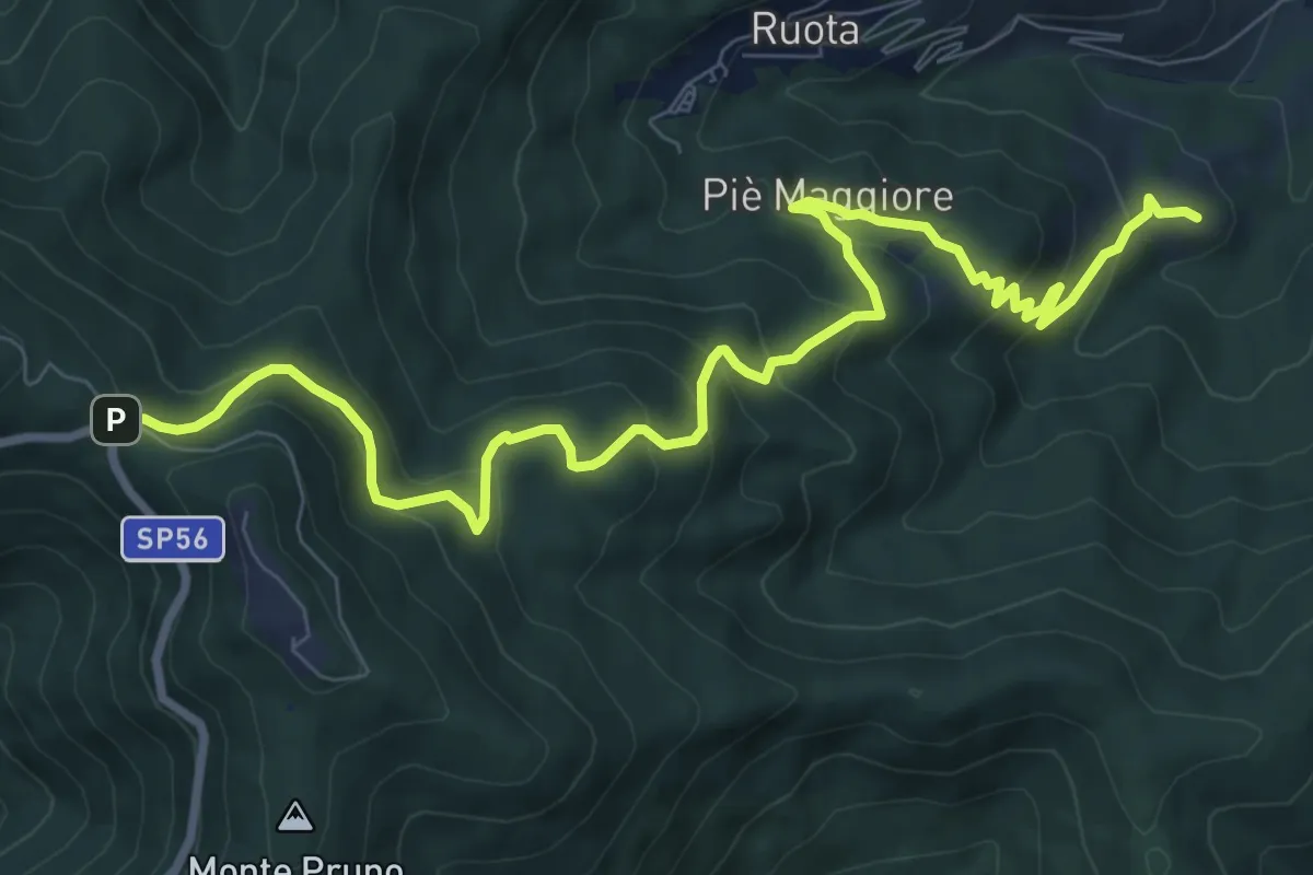
Medium · Summit
Colle di Compito – Prato di Calci
11.1 km · ↑ 688 m · 4 h 7 min · 10 km away
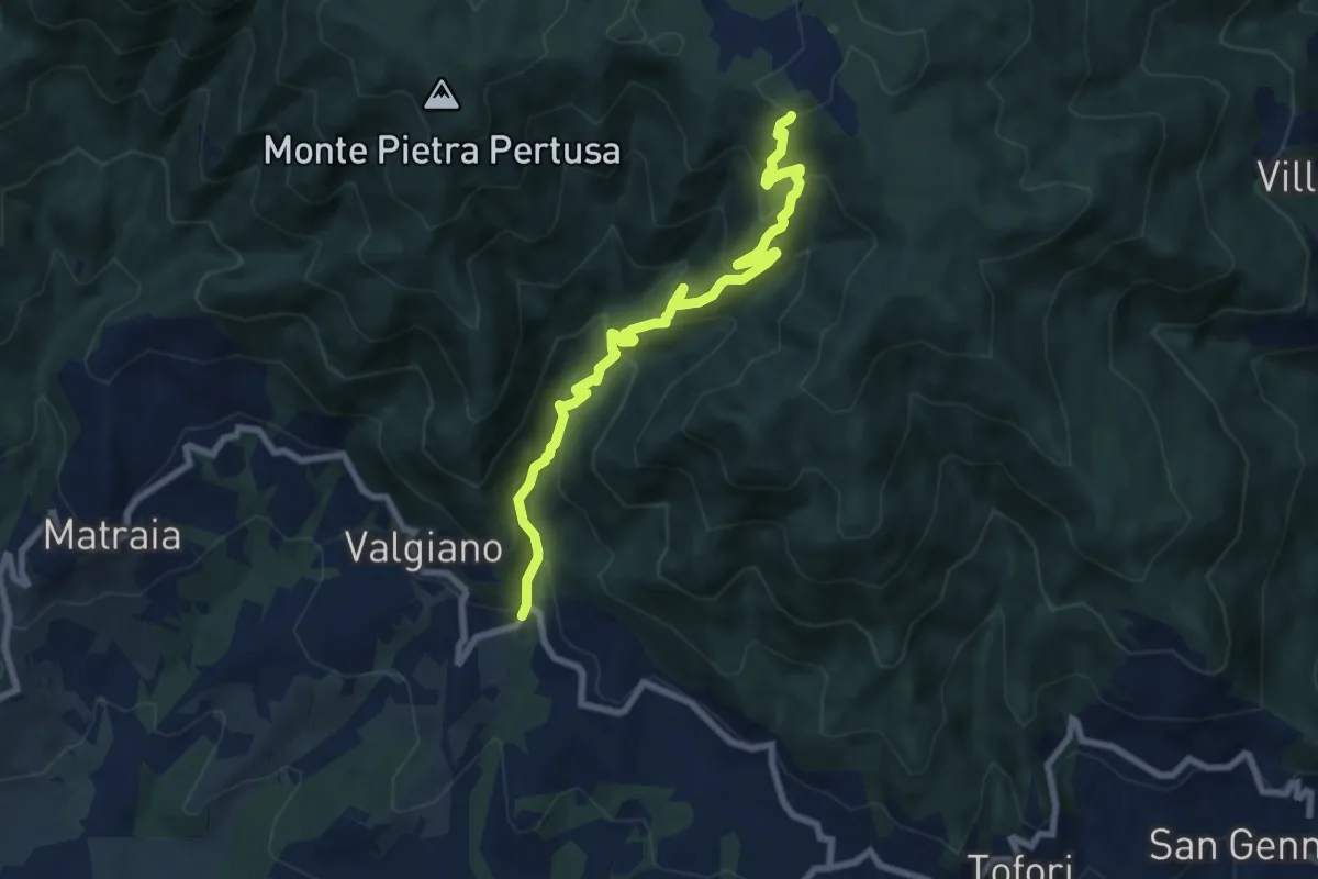
Medium · Trail
Sentiero n.3 "La Cartiera"
8.5 km · ↑ 647 m · 3 h 25 min · 10 km away
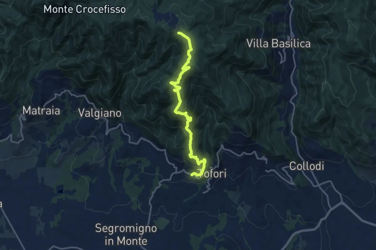
Medium · Trail
Sentiero n.5 "Prato di Rimogno"
11.8 km · ↑ 756 m · 4 h 25 min · 10 km away
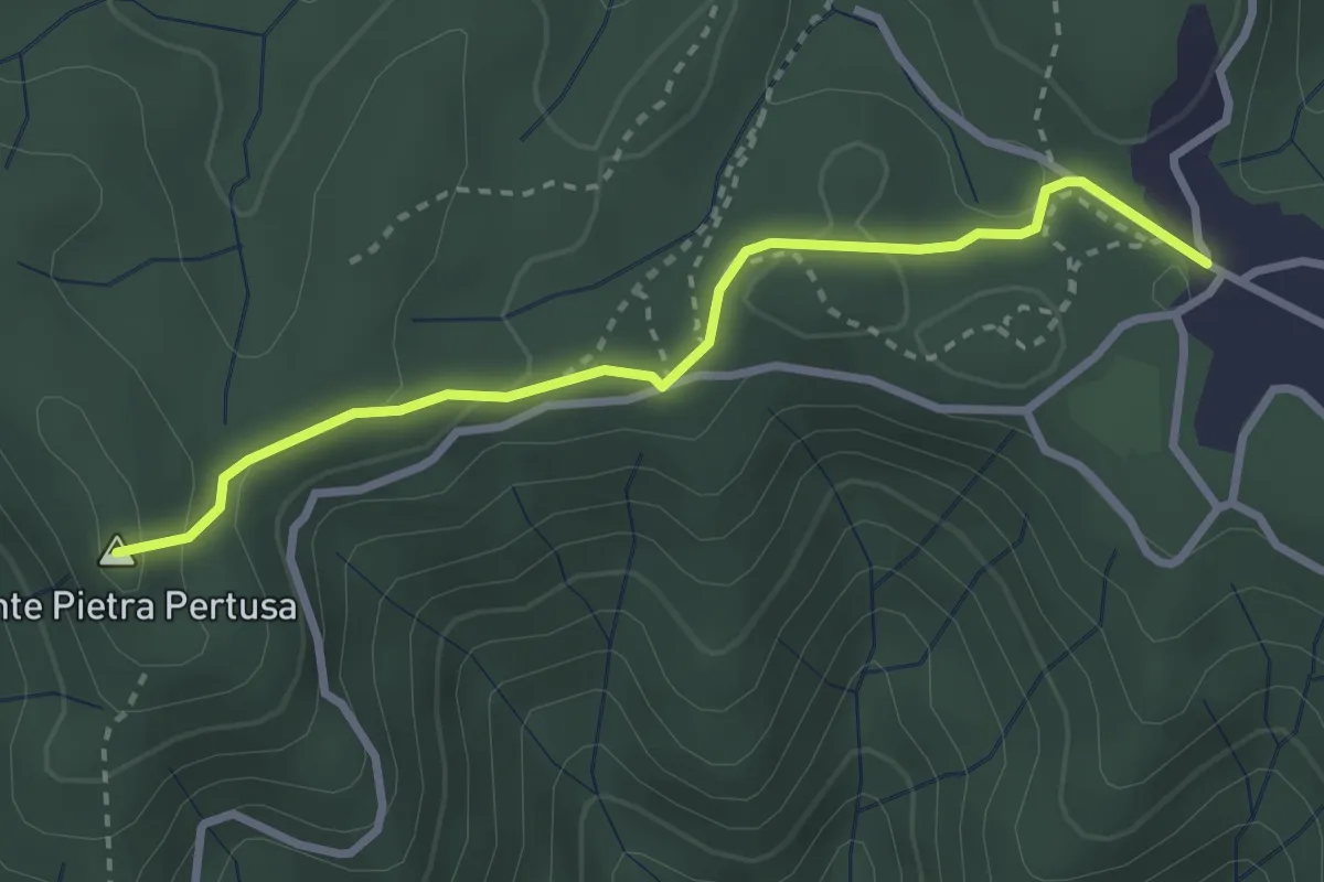
Easy · Summit
Sentiero n.2 "Pietra Pertusa"
3.1 km · ↑ 89 m · 55 min · 11 km away
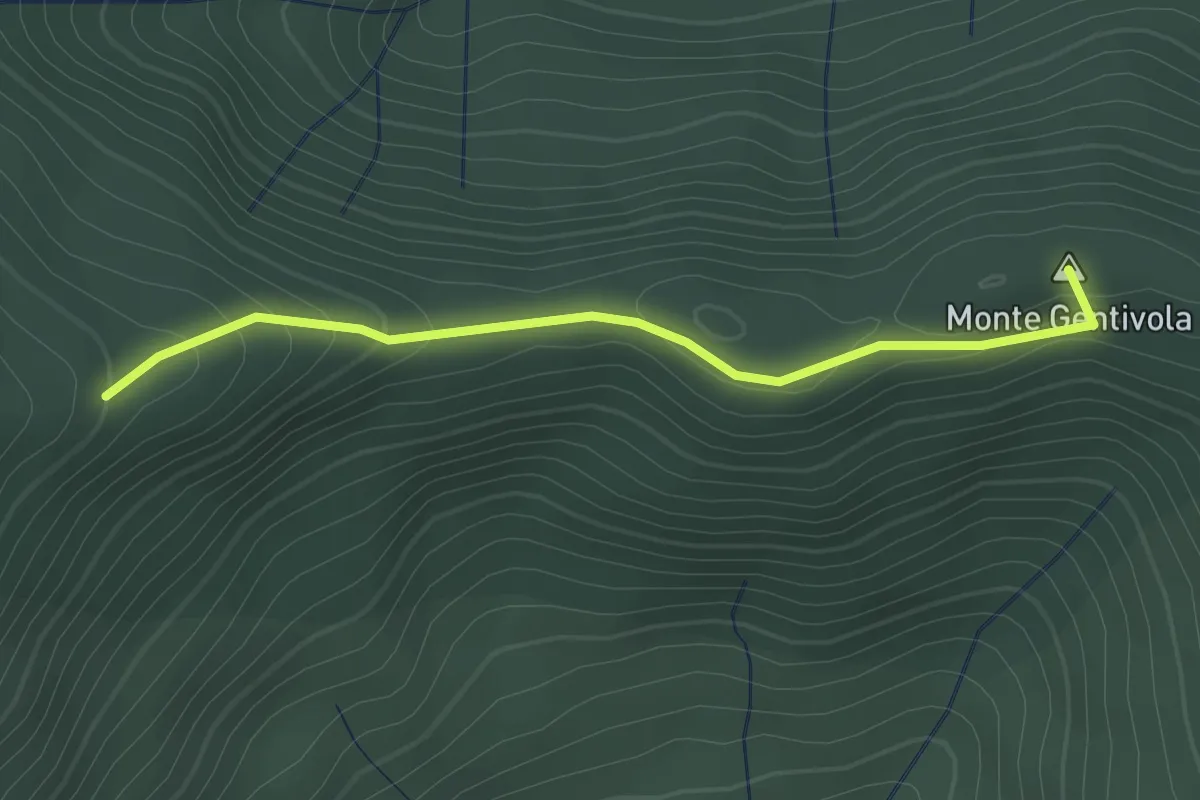
Easy · Summit
Percorso 142 – Percorso 140
2.2 km · ↑ 94 m · 44 min · 11 km away
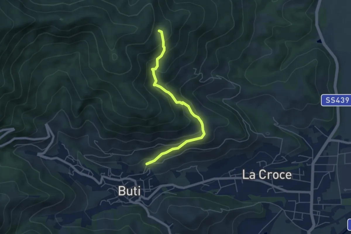
Medium · Trail
Buti – Piavola
5.4 km · ↑ 374 m · 2 h 5 min · 11 km away
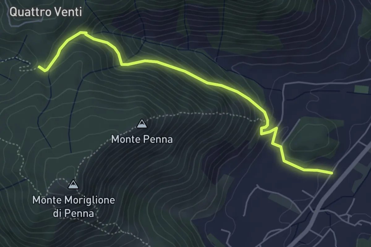
Medium · Trail
Via dei Bovi
5.6 km · ↑ 359 m · 2 h 6 min · 11 km away
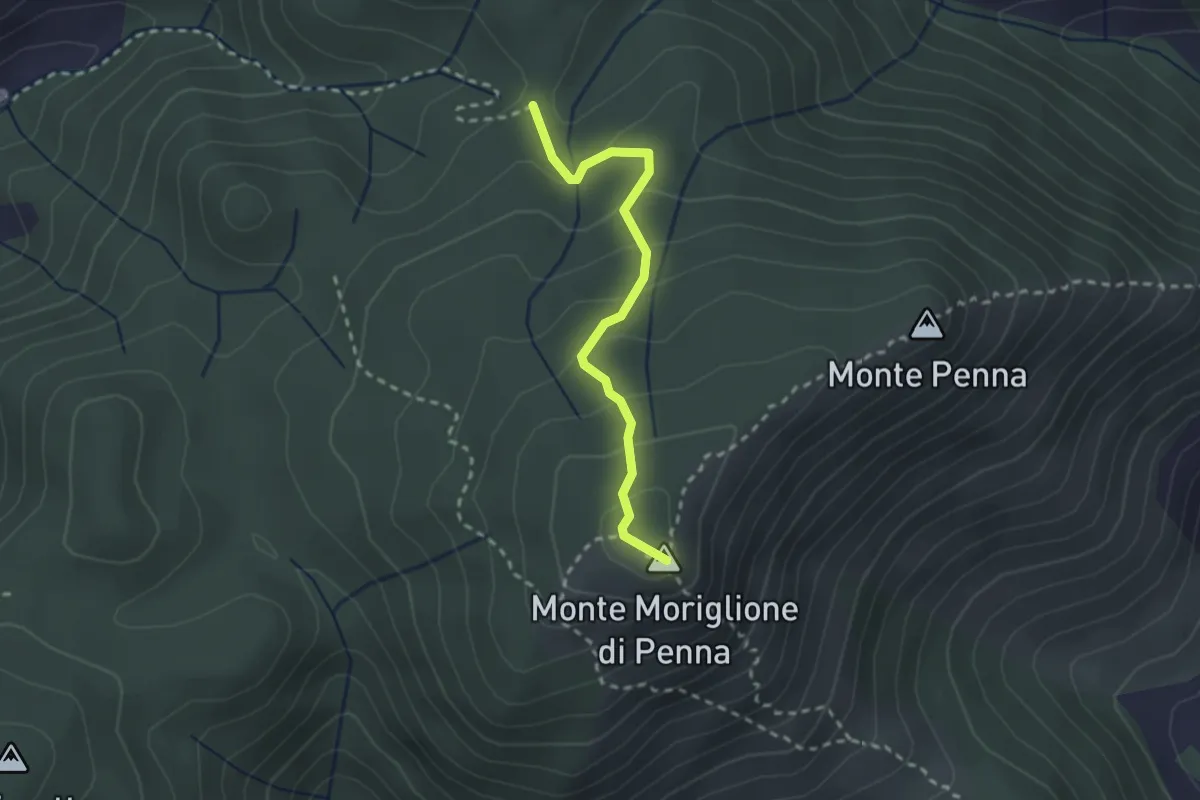
Medium · Summit
Santa Maria al Giudice – Croce a Vaccoli
2.4 km · ↑ 169 m · 56 min · 11 km away
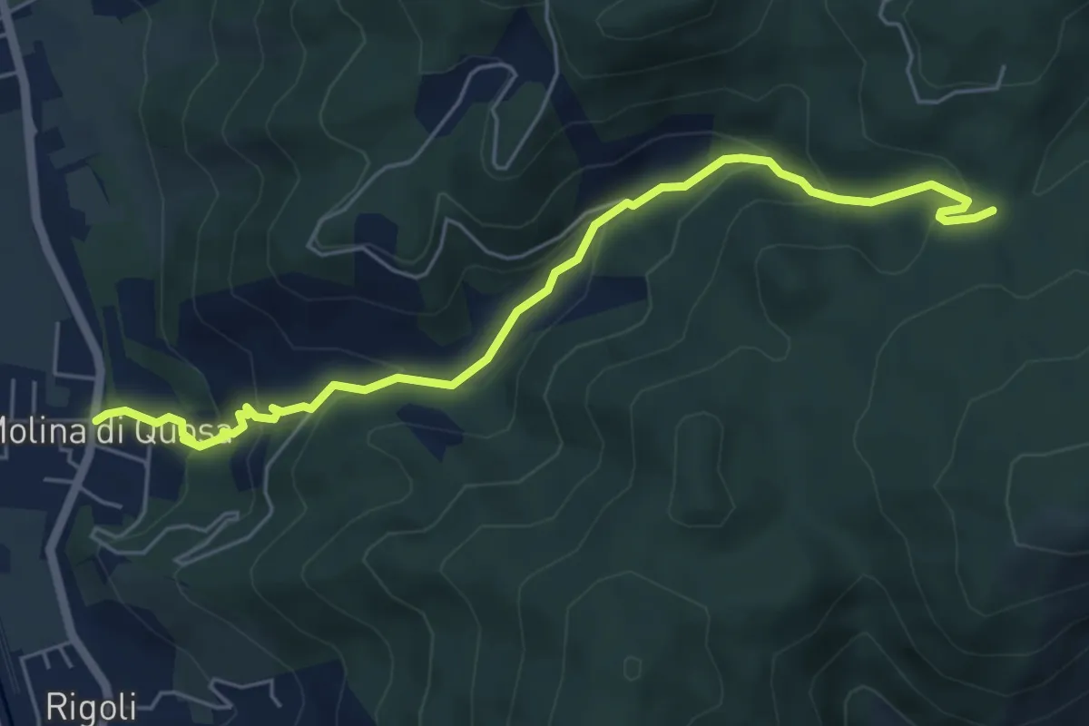
Medium · Trail
Molina di Quosa – Croci a Vaccoli
6.2 km · ↑ 357 m · 2 h 14 min · 11 km away
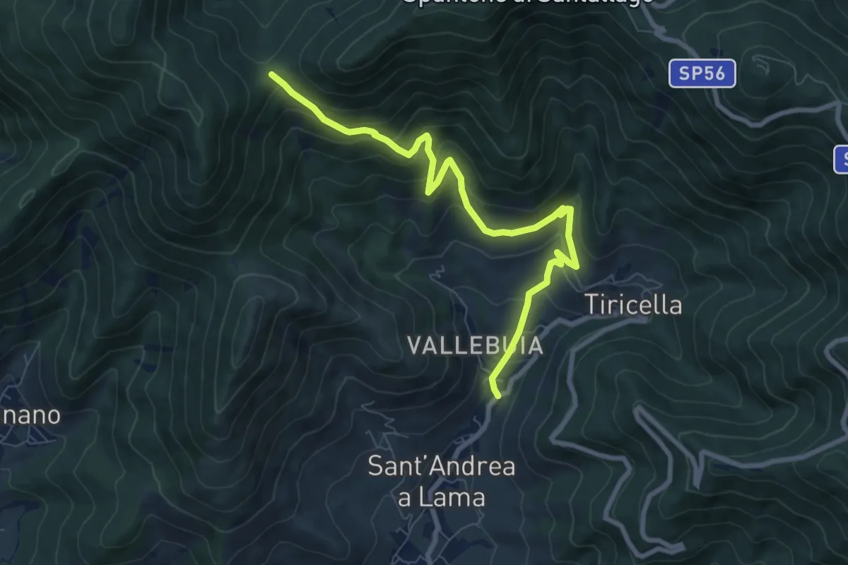
Medium · Trail
Castelmaggiore – Campo di Croce
8.7 km · ↑ 536 m · 3 h 13 min · 11 km away
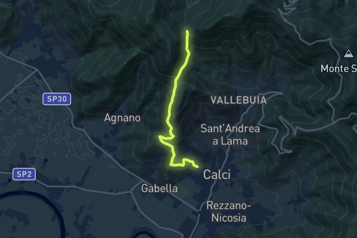
Medium · Trail
Calci – Campo di Croce
9.3 km · ↑ 625 m · 3 h 32 min · 11 km away
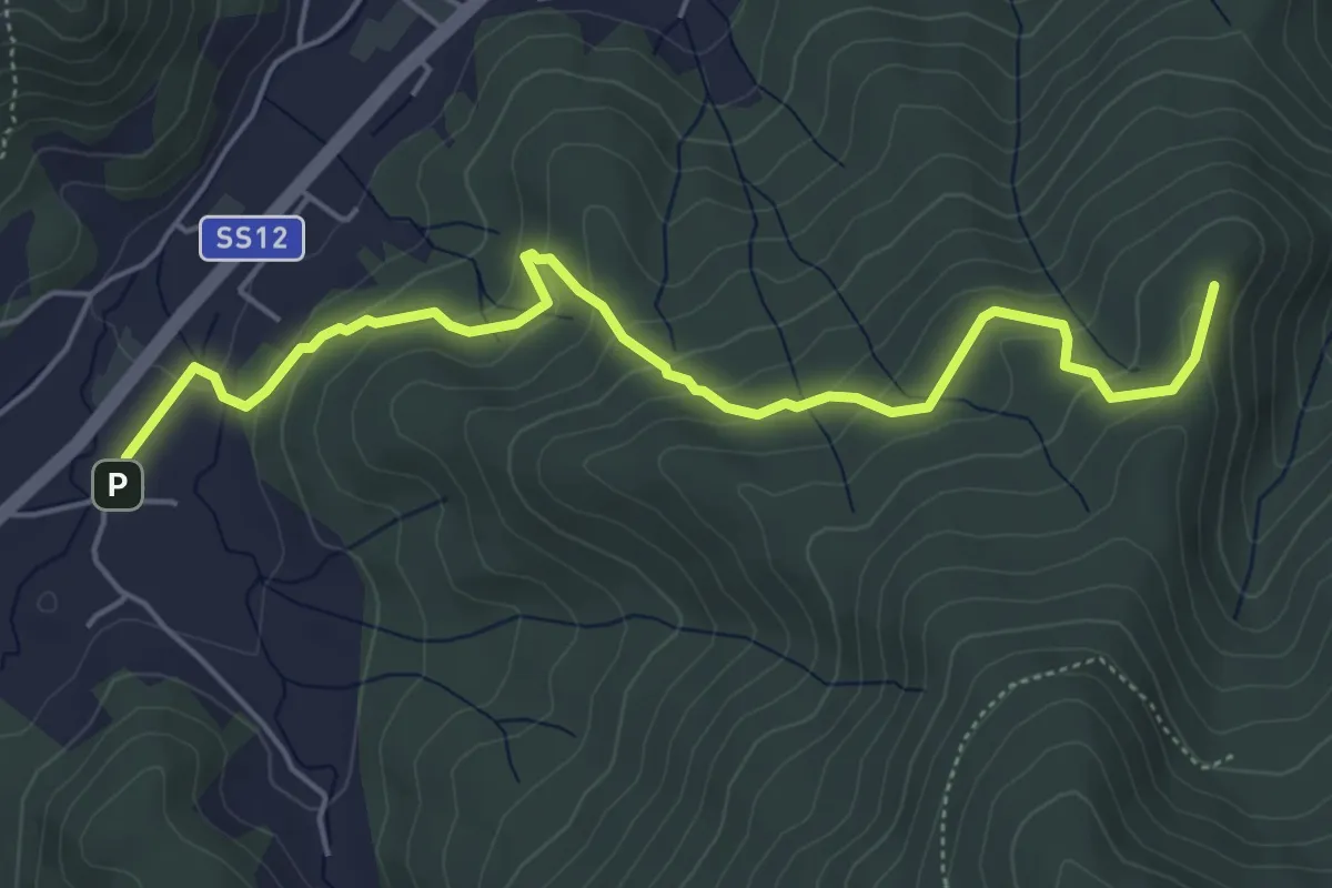
Easy · Summit
Pieve di San Giovanni Battista a Santa Maria del Giudice – Strada Forestale da Coselli
5.9 km · ↑ 300 m · 2 h 3 min · 11 km away
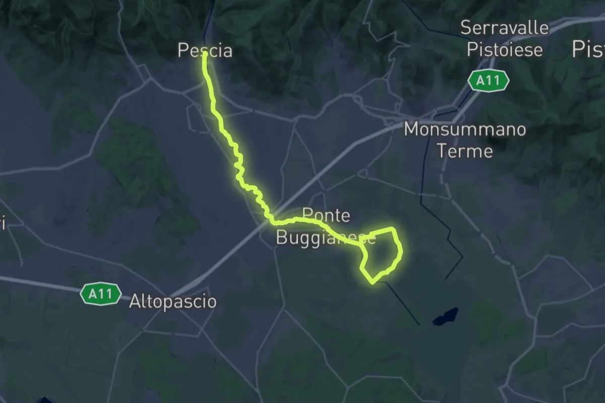
Demanding · Trail
Valle del Pescia - Il trekking lungo il fiume
18.0 km · ↑ 0 m · 4 h 32 min · 11 km away
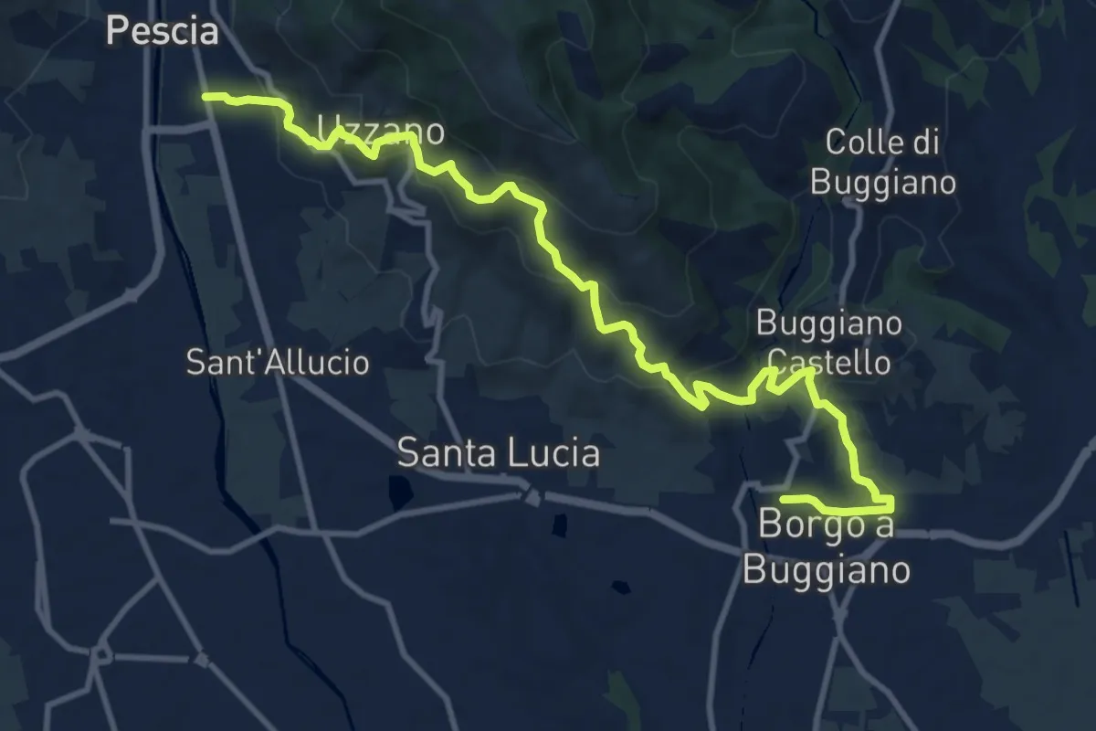
Medium · Trail
Pescia – Borgo a Buggiano
12.6 km · ↑ 693 m · 4 h 29 min · 11 km away
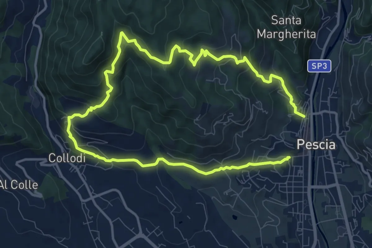
Medium · Trail
Pescia – Pescia
8.1 km · ↑ 446 m · 3 h · 12 km away
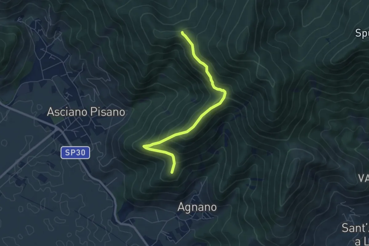
Medium · Summit
Polla – Passo della Conserva
6.5 km · ↑ 372 m · 2 h 21 min · 12 km away