Trails near Capannori
82 hikes starting within 15 km, nearest first.
Nearest first, page 2 of 2
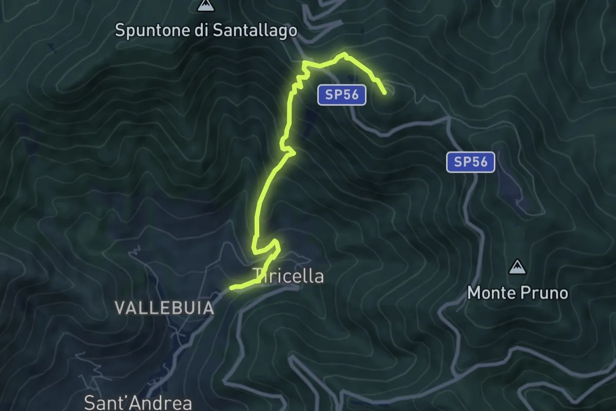
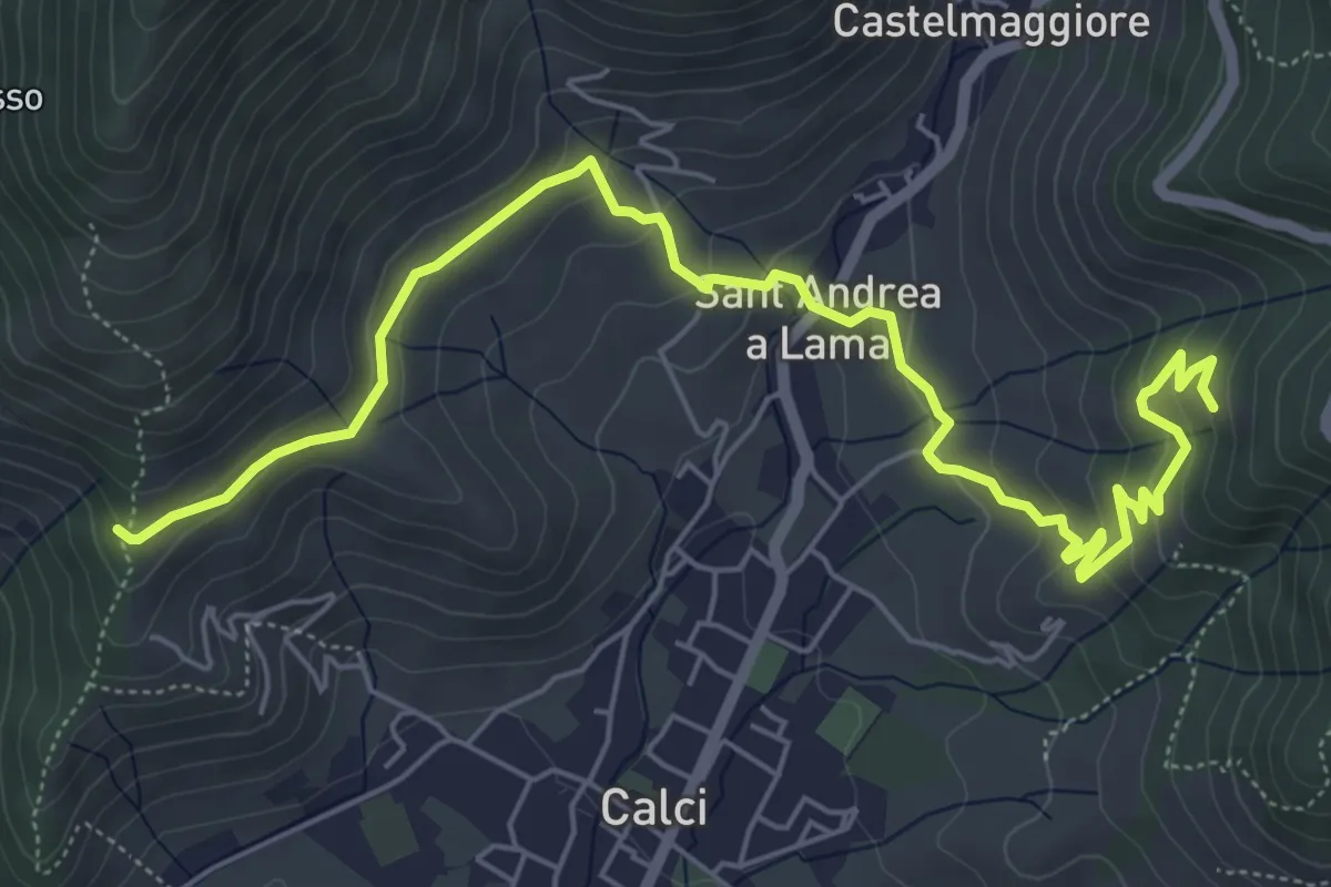
Medium · Summit
Castelmaggiore – Monte Cascetto
6.7 km · ↑ 740 m · 3 h 11 min · 12 km away
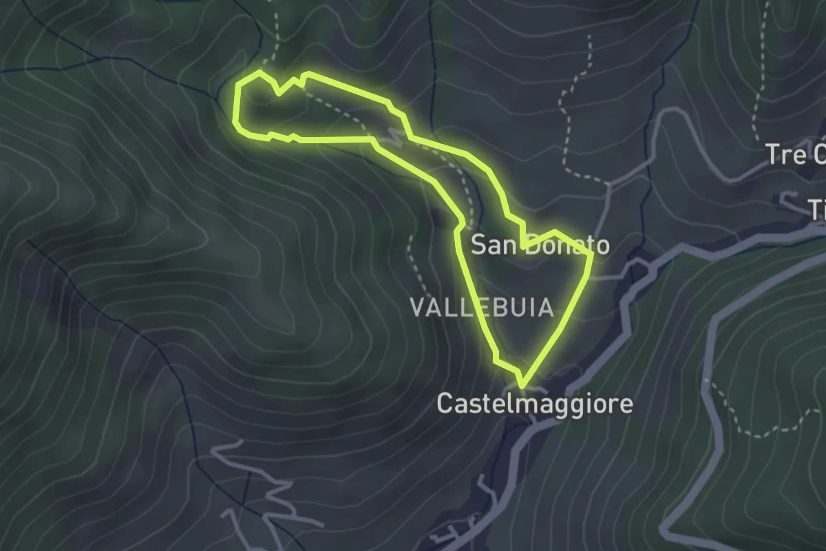
Easy · Trail
Percorso delle Acque
2.8 km · ↑ 146 m · 1 h 1 min · 12 km away
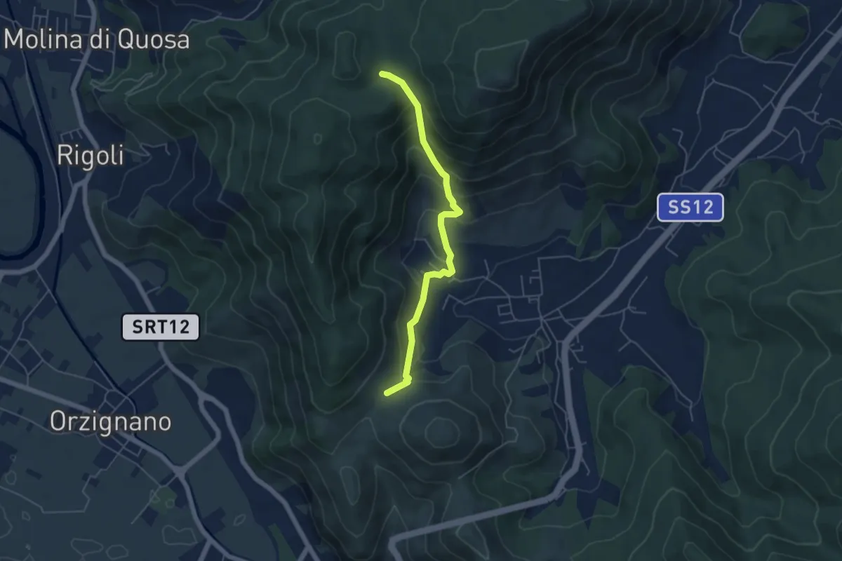
Medium · Trail
Passo Croce – Fondacci
5.1 km · ↑ 342 m · 1 h 57 min · 12 km away
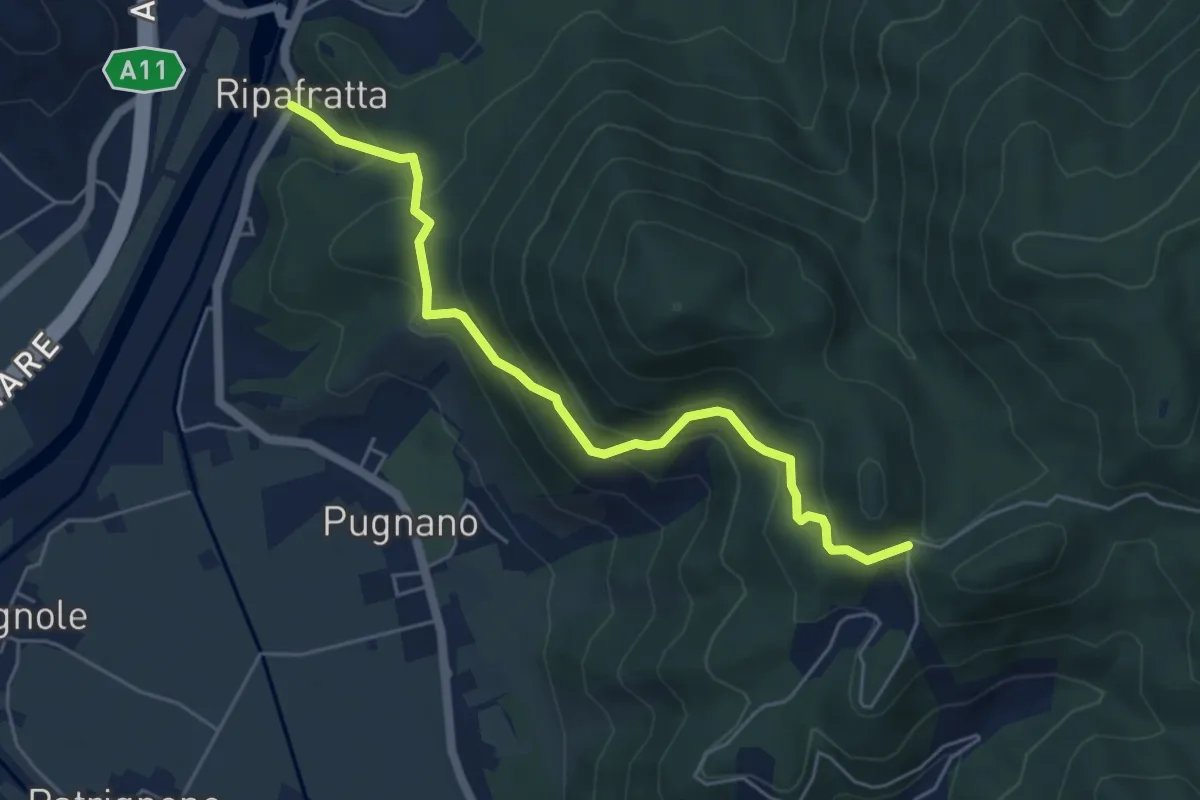
Medium · Trail
Ripafratta – Sacrario della Romagna
5.6 km · ↑ 388 m · 2 h 10 min · 12 km away
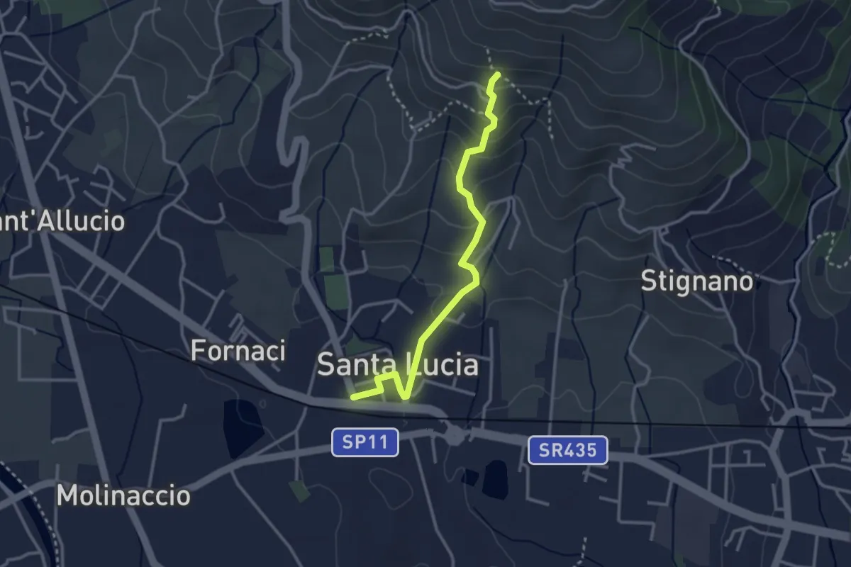
Easy · Trail
Santa Lucia – La Costa
3.0 km · ↑ 169 m · 1 h 5 min · 12 km away
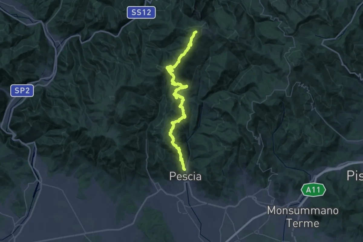
Demanding · Summit
Pescia – Popiglio
43.9 km · ↑ 2381 m · 15 h 31 min · 12 km away
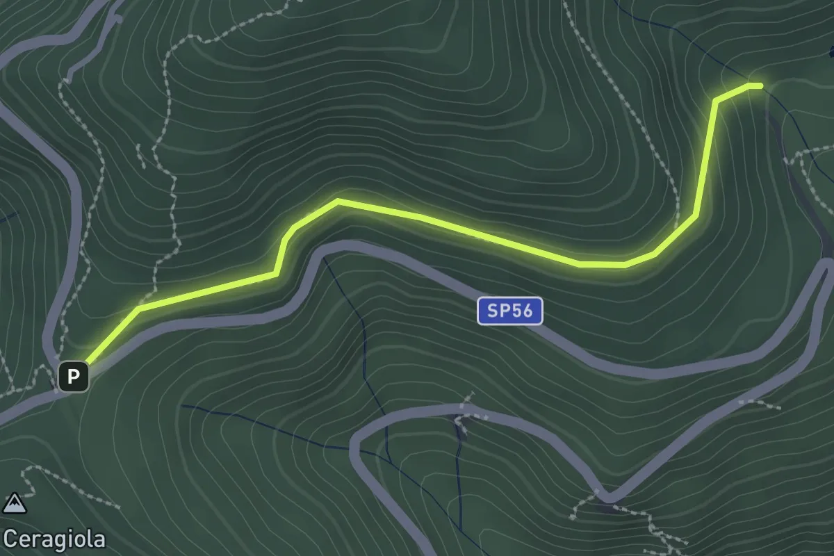
Easy · Trail
Serra di Sotto – Prato a Ceragiola
2.9 km · ↑ 114 m · 56 min · 12 km away
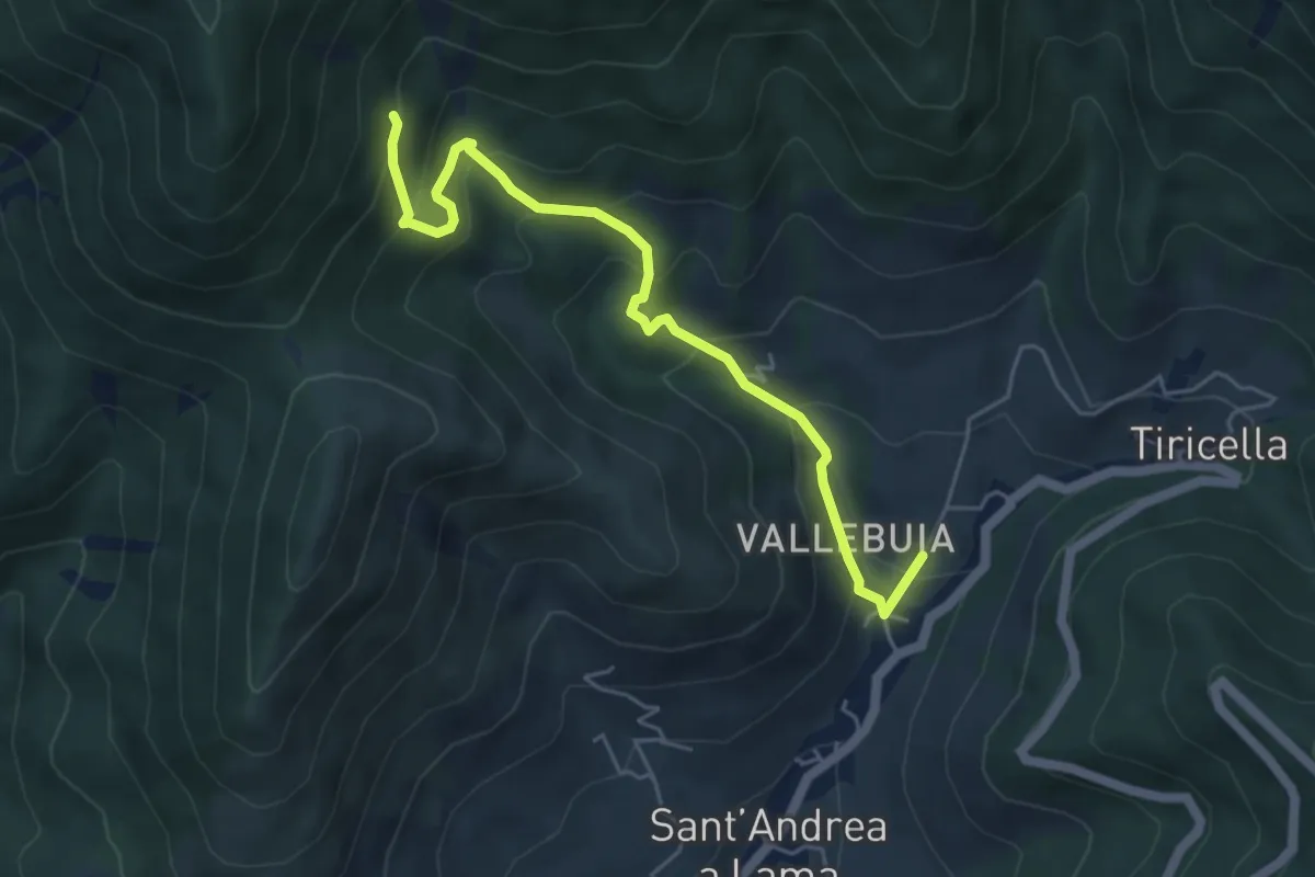
Medium · Trail
Castelmaggiore – Campo di Croce
5.6 km · ↑ 402 m · 2 h 11 min · 12 km away
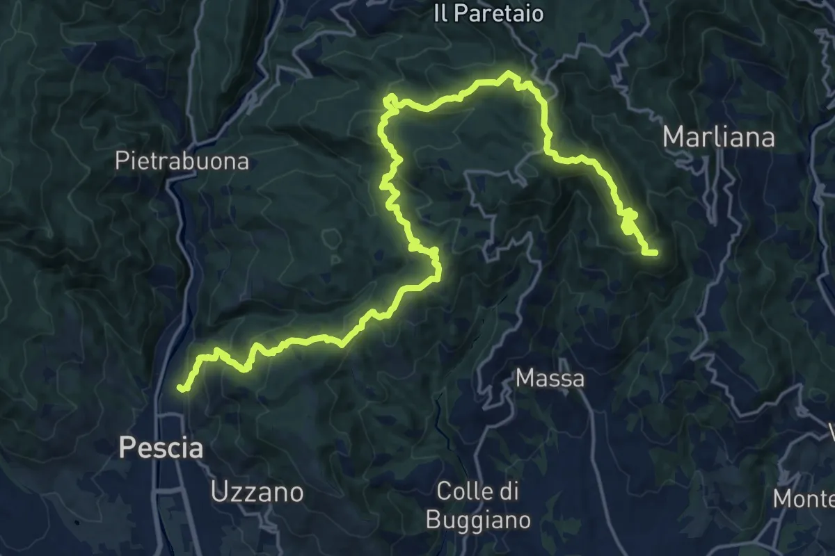
Demanding · Summit
Alta Via della Valdinievole
26.0 km · ↑ 1285 m · 8 h 56 min · 12 km away
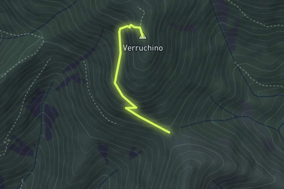
Easy · Summit
Foce di Calci – Verruchino (innesto 00)
2.6 km · ↑ 245 m · 1 h 8 min · 12 km away
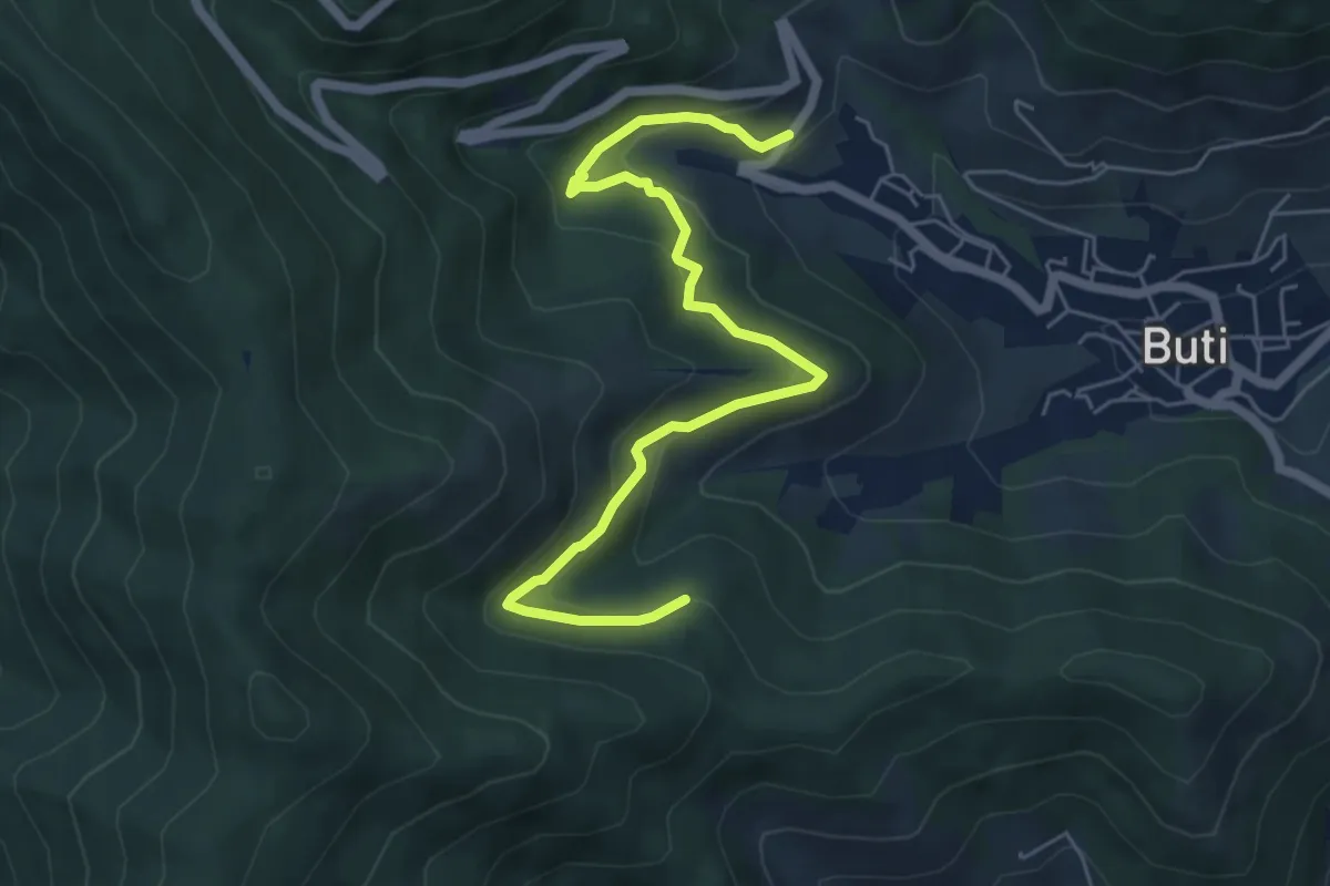
Medium · Trail
Panicale – Col di Cincia
6.8 km · ↑ 347 m · 2 h 21 min · 12 km away
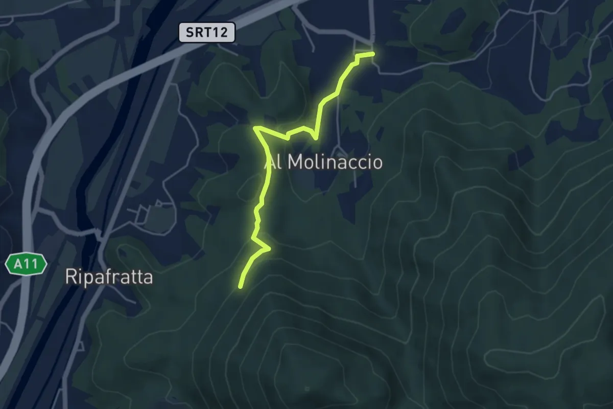
Easy · Trail
Cerasomma – innesto 00 sopra Ripafratta
4.1 km · ↑ 136 m · 1 h 16 min · 12 km away
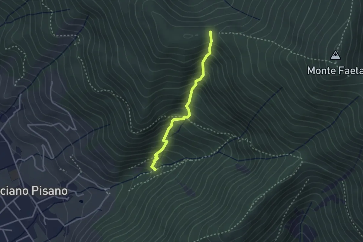
Medium · Trail
Asciano – Passo della Conserva
2.6 km · ↑ 403 m · 1 h 29 min · 13 km away
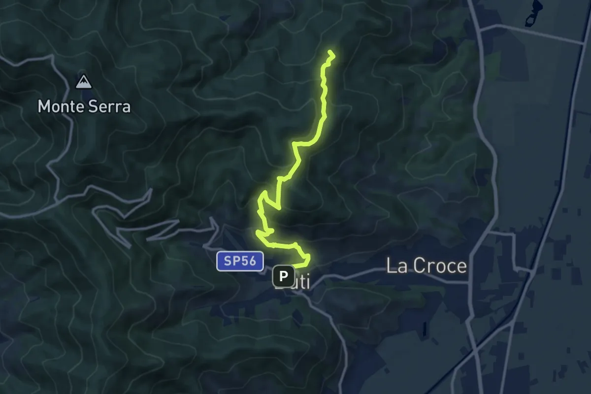
Medium · Summit
Castelvecchio di Compito – Buti
10.5 km · ↑ 603 m · 3 h 47 min · 13 km away
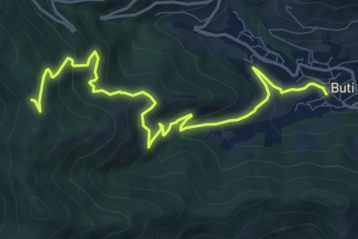
Medium · Trail
Buti – Prato a Giovo
9.9 km · ↑ 619 m · 3 h 41 min · 13 km away
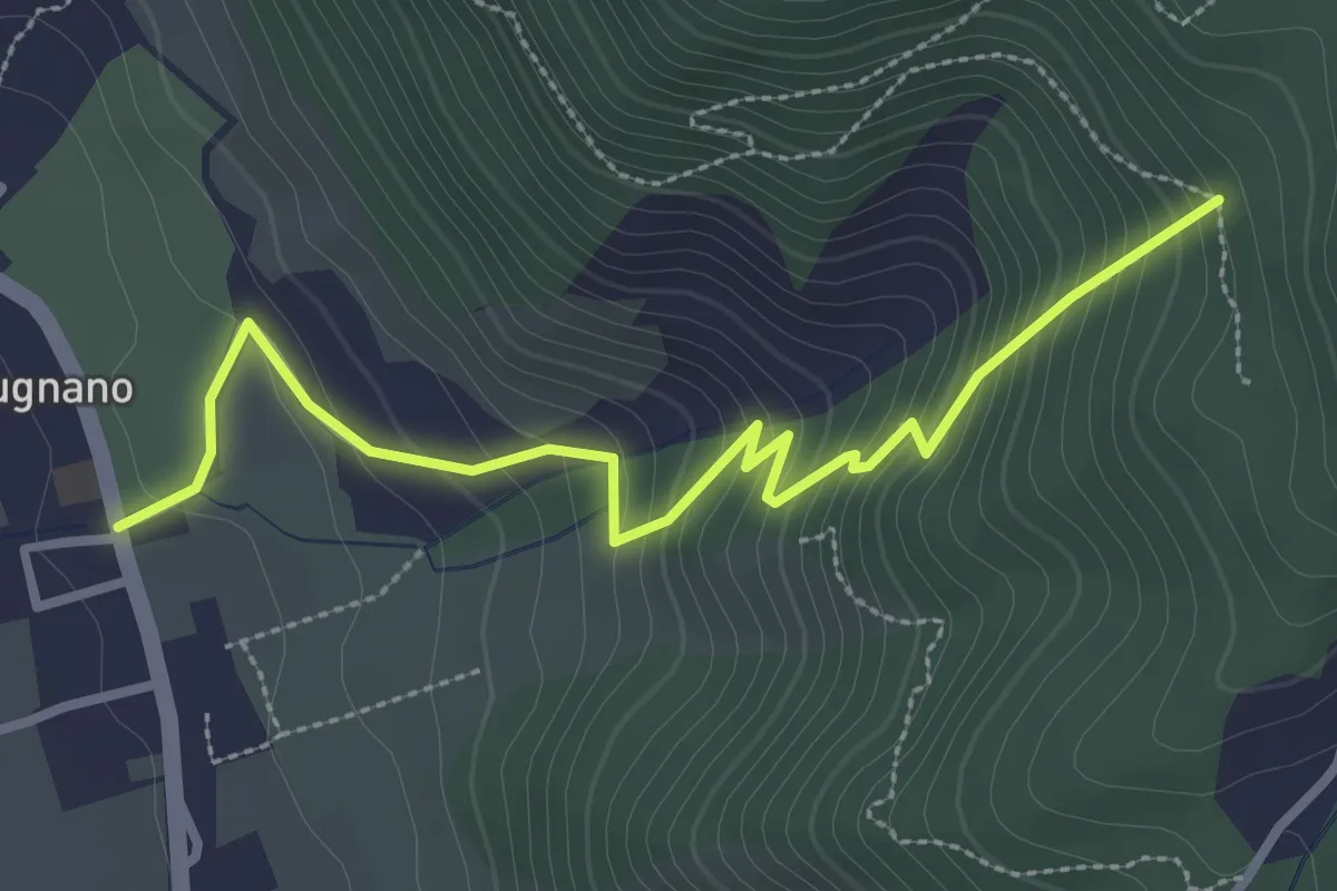
Easy · Trail
Pugnano – Lecciaia
3.4 km · ↑ 302 m · 1 h 27 min · 13 km away
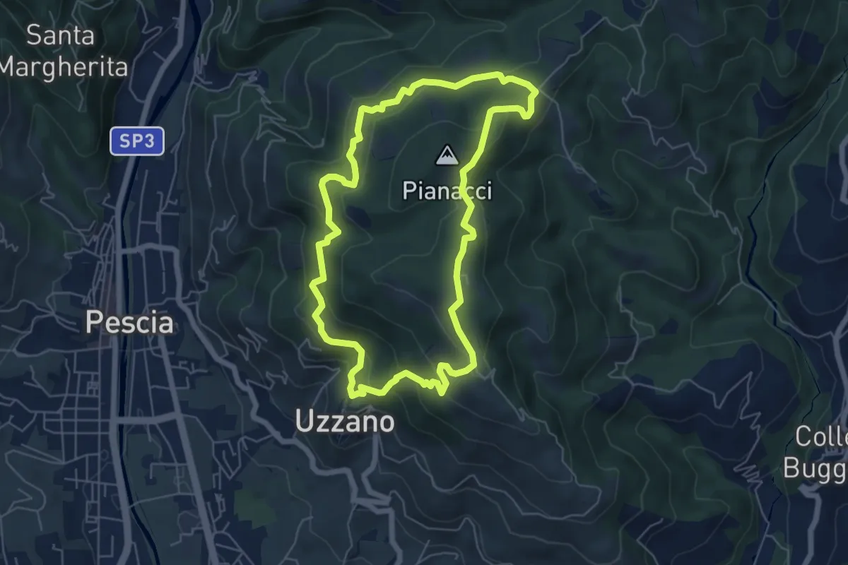
Easy · Summit
Uzzano Castello – Uzzano Castello
5.9 km · ↑ 317 m · 2 h 9 min · 13 km away
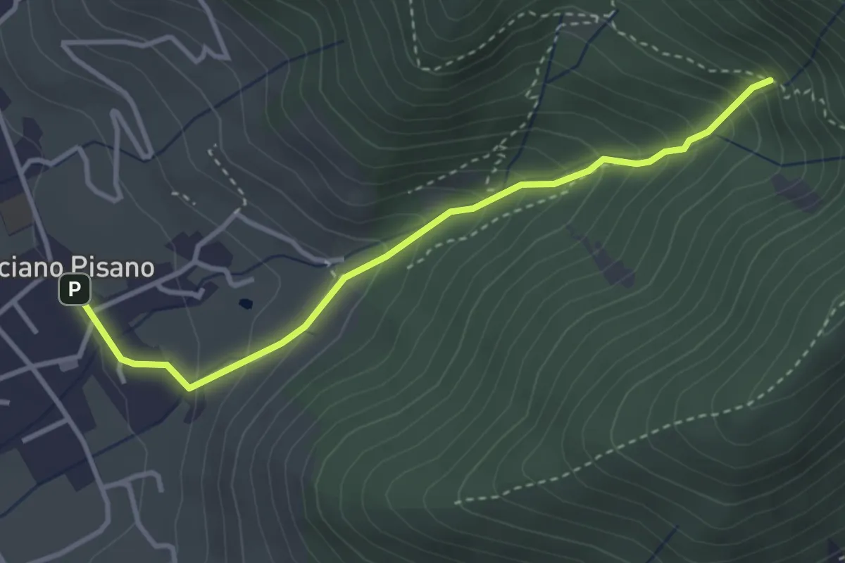
Medium · Trail
Valle delle Fonti
3.5 km · ↑ 316 m · 1 h 31 min · 13 km away
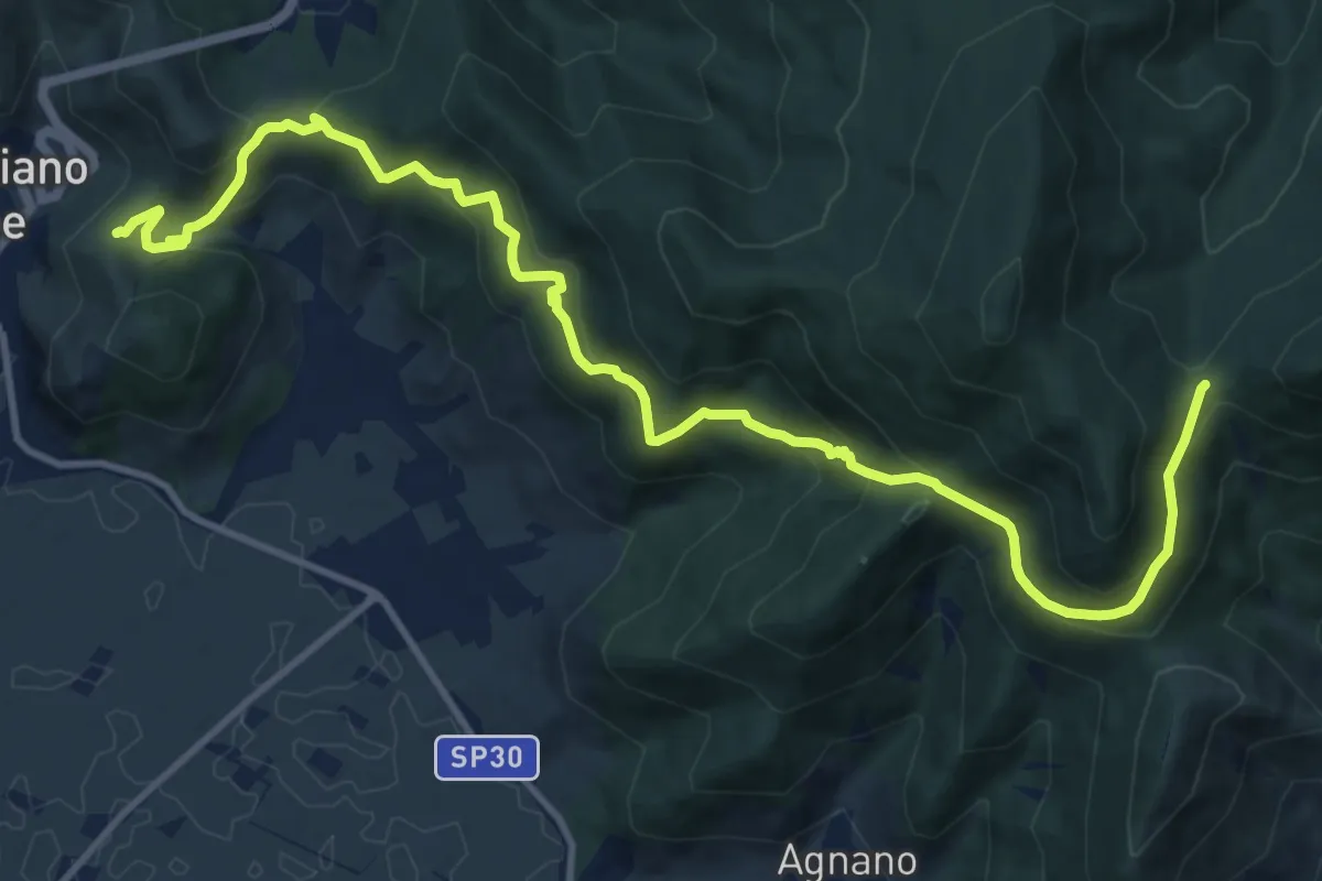
Demanding · Trail
Castellare – Campo di Croce
15.1 km · ↑ 872 m · 5 h 27 min · 13 km away
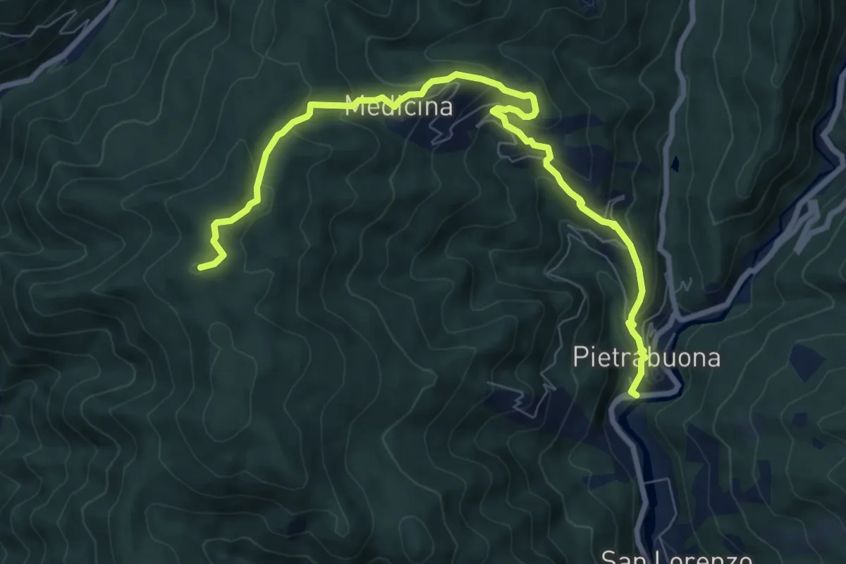
Medium · Summit
Pietrabuona – Sant'Anna
9.3 km · ↑ 579 m · 3 h 27 min · 14 km away
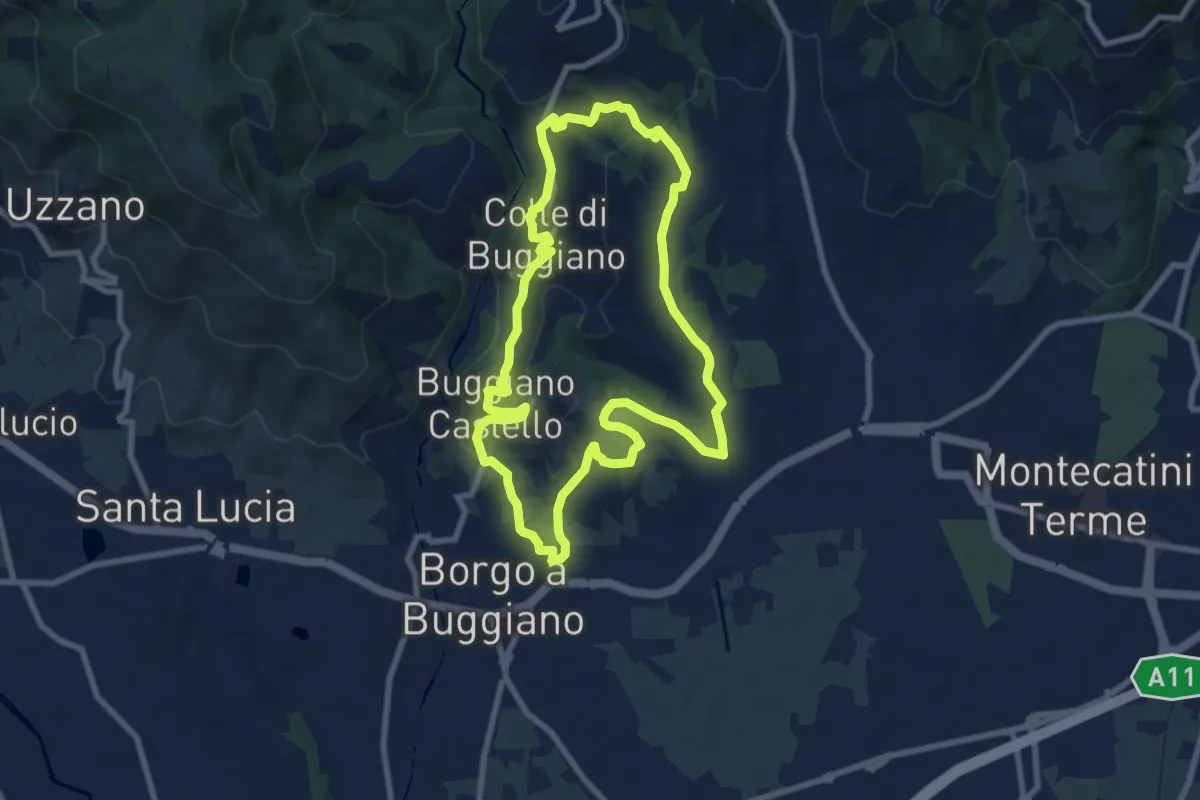
Medium · Trail
San Bernardo – Via di Pari
7.9 km · ↑ 417 m · 2 h 46 min · 14 km away
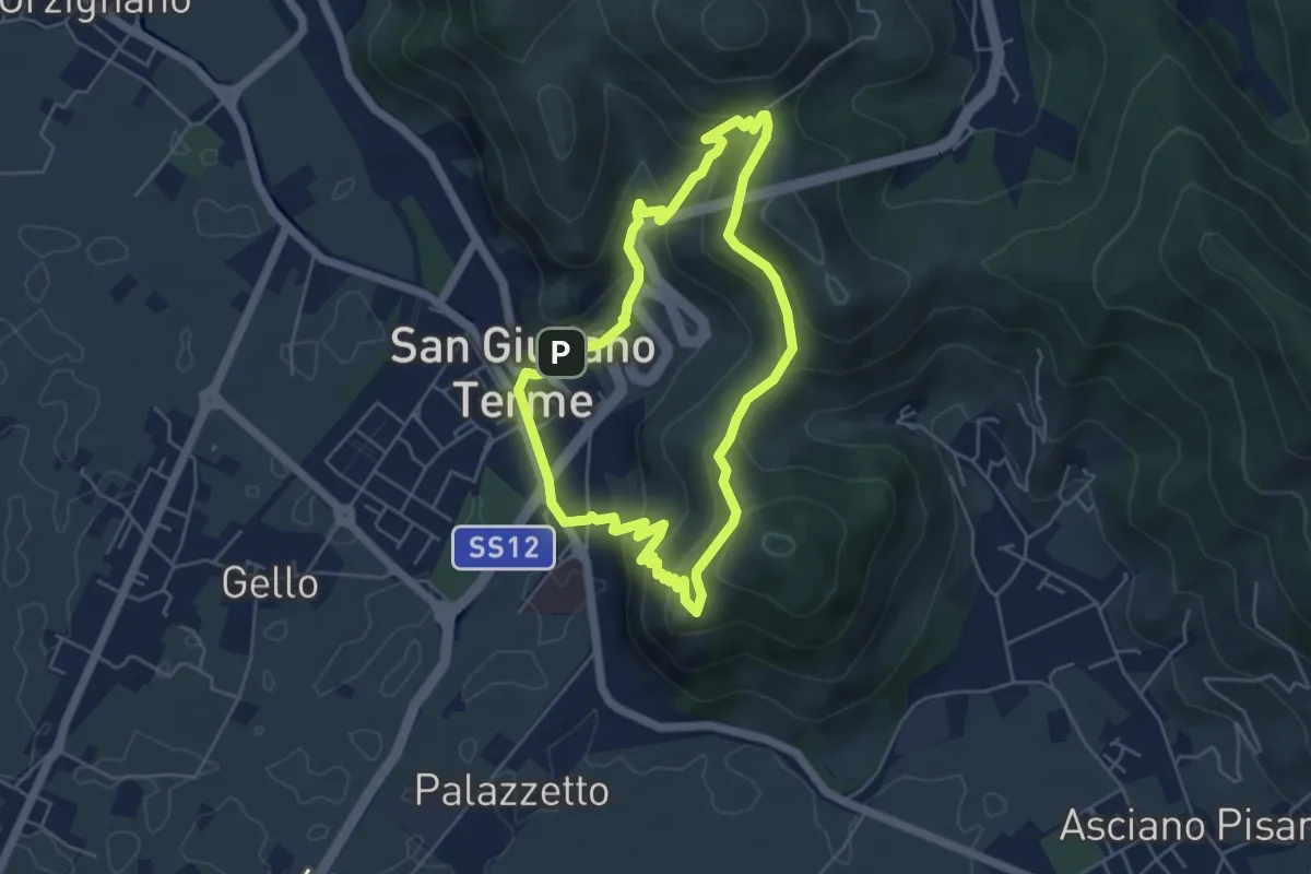
Medium · Summit
Sentiero 6 "Colle e dintorni"
8.5 km · ↑ 236 m · 2 h 37 min · 14 km away
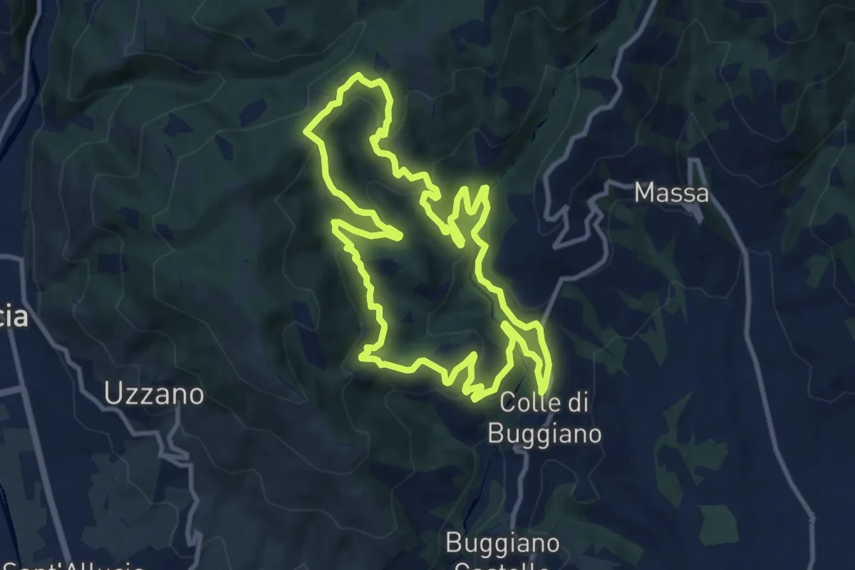
Medium · Trail
Anello di San Giuliano Terme
4.9 km · ↑ 305 m · 1 h 54 min · 14 km away
Medium · Trail
Sentiero 4 "Colle e dintorni"
10.2 km · ↑ 468 m · 3 h 34 min · 14 km away
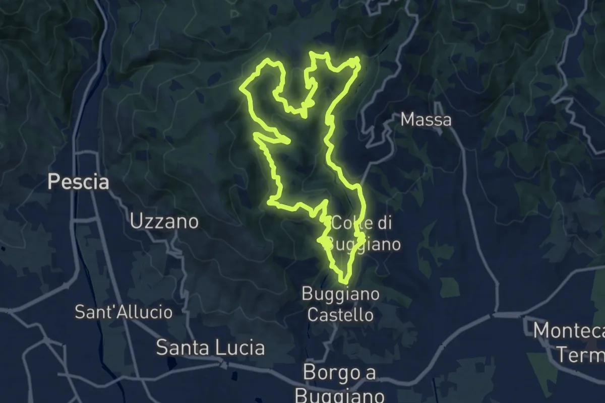
Medium · Trail
Sentiero 7 "Colle e dintorni"
13.4 km · ↑ 675 m · 4 h 49 min · 14 km away
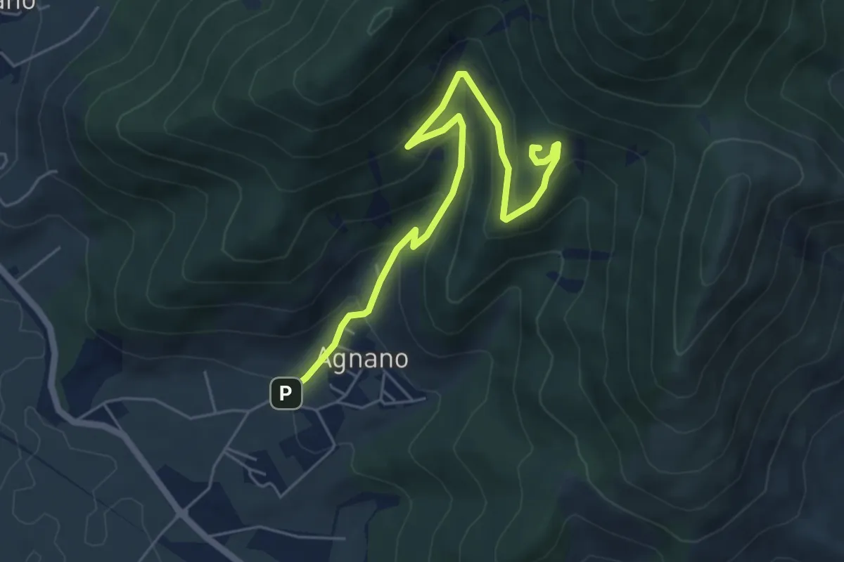
Medium · Summit
Agnano – Foce di Calci
6.4 km · ↑ 388 m · 2 h 21 min · 14 km away
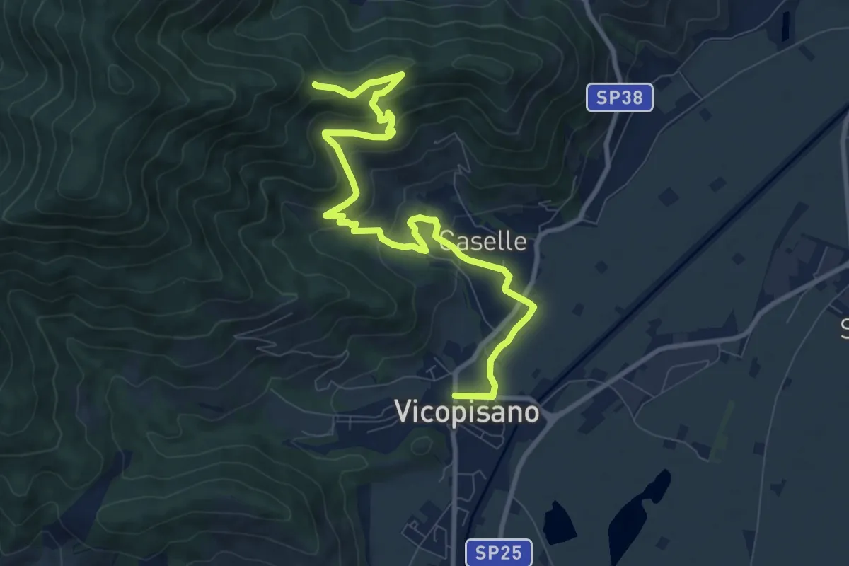
Medium · Trail
Vicopisano – Col di Cincia
10.8 km · ↑ 442 m · 3 h 31 min · 14 km away
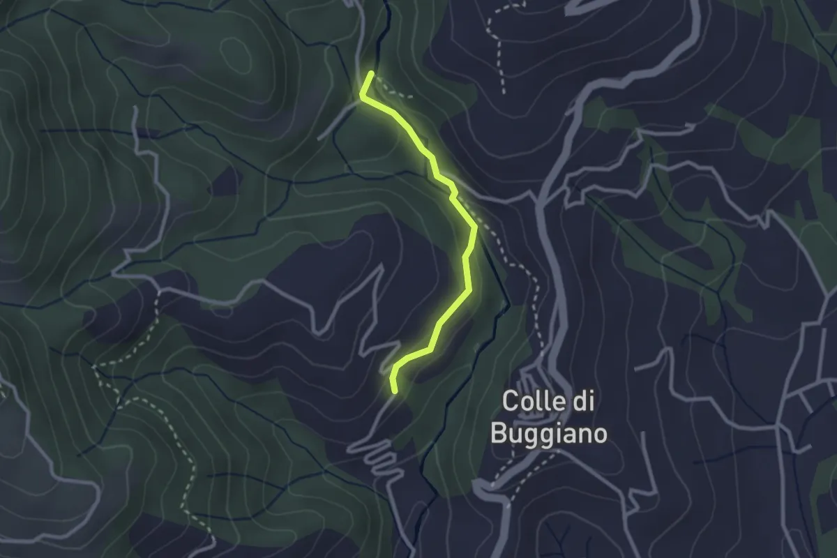
Easy · Trail
Sentiero dei Mulini
2.2 km · ↑ 51 m · 38 min · 14 km away
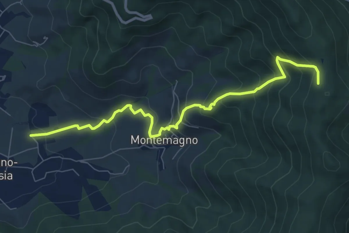
Medium · Trail
Certosa di Calci – Prato a Giovo
7.8 km · ↑ 581 m · 3 h 5 min · 14 km away
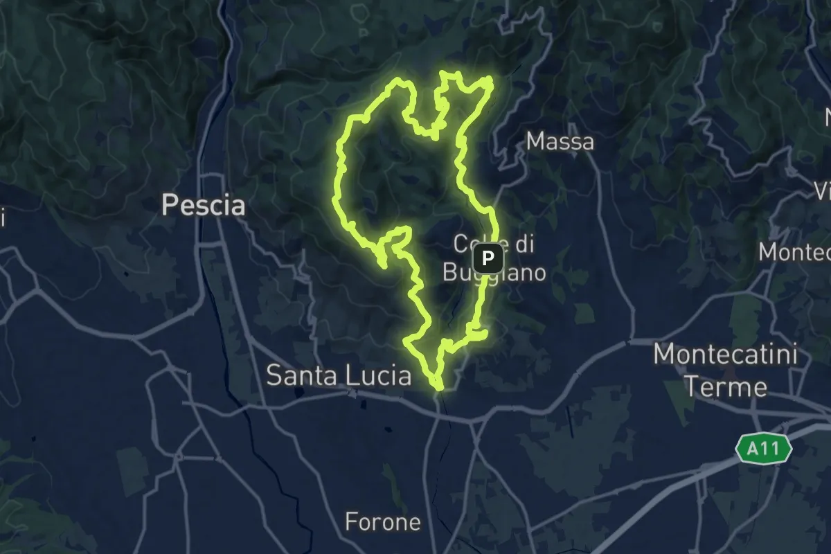
Demanding · Summit
Sentiero 8 "Colle e dintorni"
16.5 km · ↑ 807 m · 5 h 52 min · 14 km away
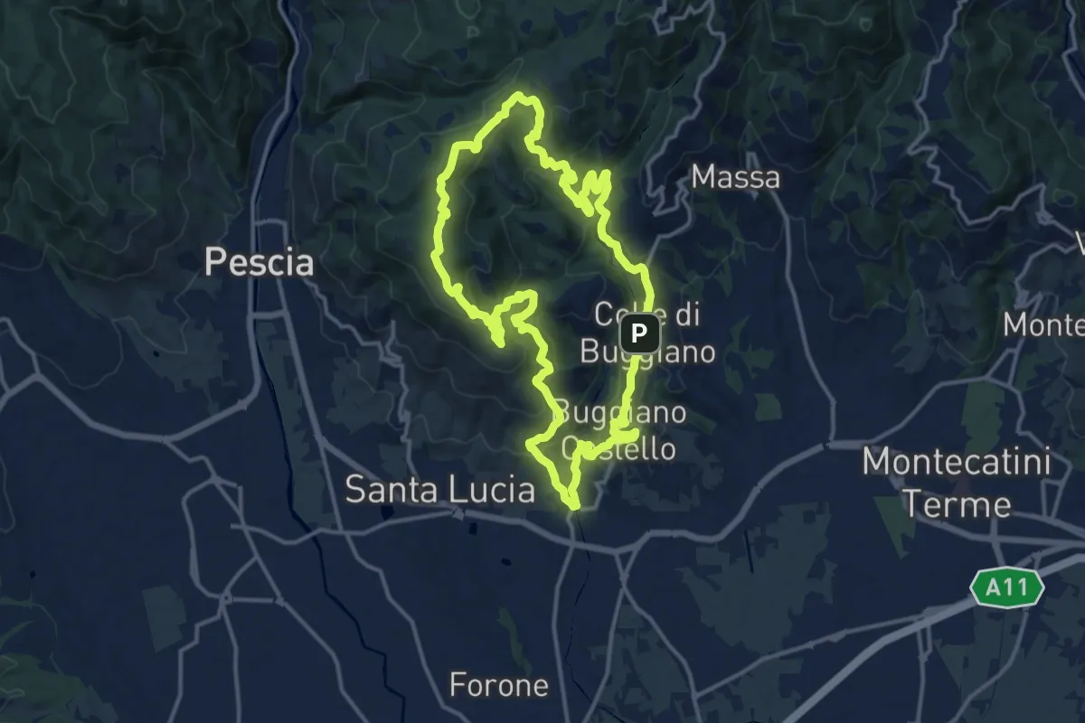
Medium · Summit
Sentiero 5 "Colle e dintorni"
14.6 km · ↑ 659 m · 5 h 5 min · 14 km away
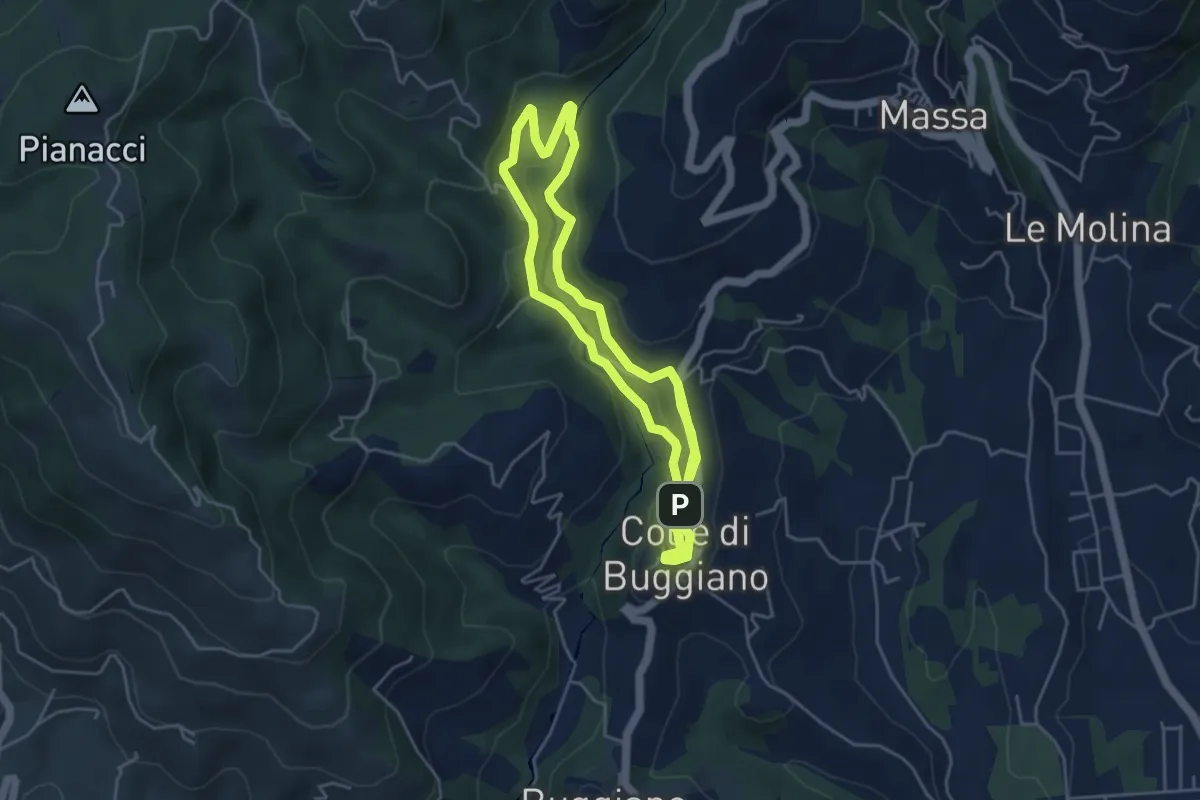
Easy · Trail
Sentiero 1 "Colle e dintorni"
4.6 km · ↑ 141 m · 1 h 27 min · 14 km away
Medium · Trail
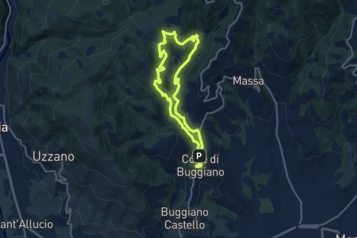
Sentiero 2 "Colle e dintorni"
7.9 km · ↑ 396 m · 2 h 50 min · 14 km away
Demanding · Summit
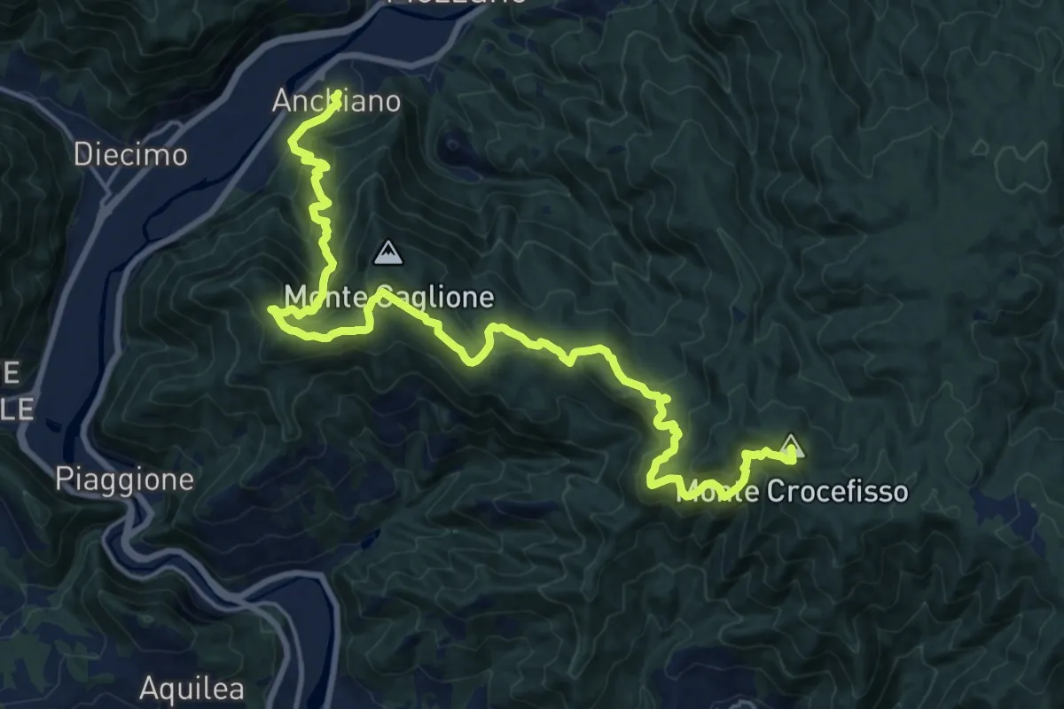
Sentiero delle Colline Lucchesi
23.7 km · ↑ 1613 m · 9 h 5 min · 14 km away