Trails near Carrara
188 hikes starting within 15 km, nearest first.
Nearest first, page 1 of 4
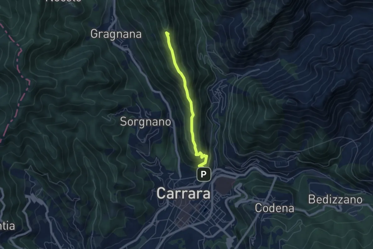
Medium · Summit
Carrara (San Rocco) – La Pianaccia
4.8 km · ↑ 356 m · 1 h 54 min · under 1 km away
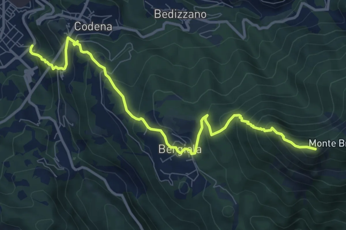
Demanding · Summit
Carrara – Monte Brugiana
9.3 km · ↑ 847 m · 4 h 2 min · 1 km away
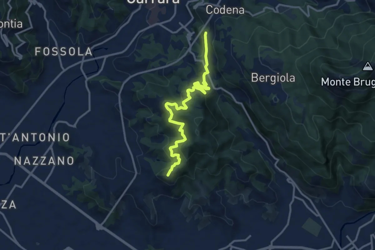
Medium · Summit
Cammino di Aronte - Tappa 5
10.0 km · ↑ 600 m · 3 h 39 min · 1 km away
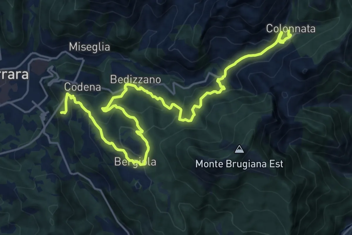
Demanding · Trail
Cammino di Aronte - Tappa 4
18.3 km · ↑ 1367 m · 7 h 16 min · 1 km away
Medium · Trail
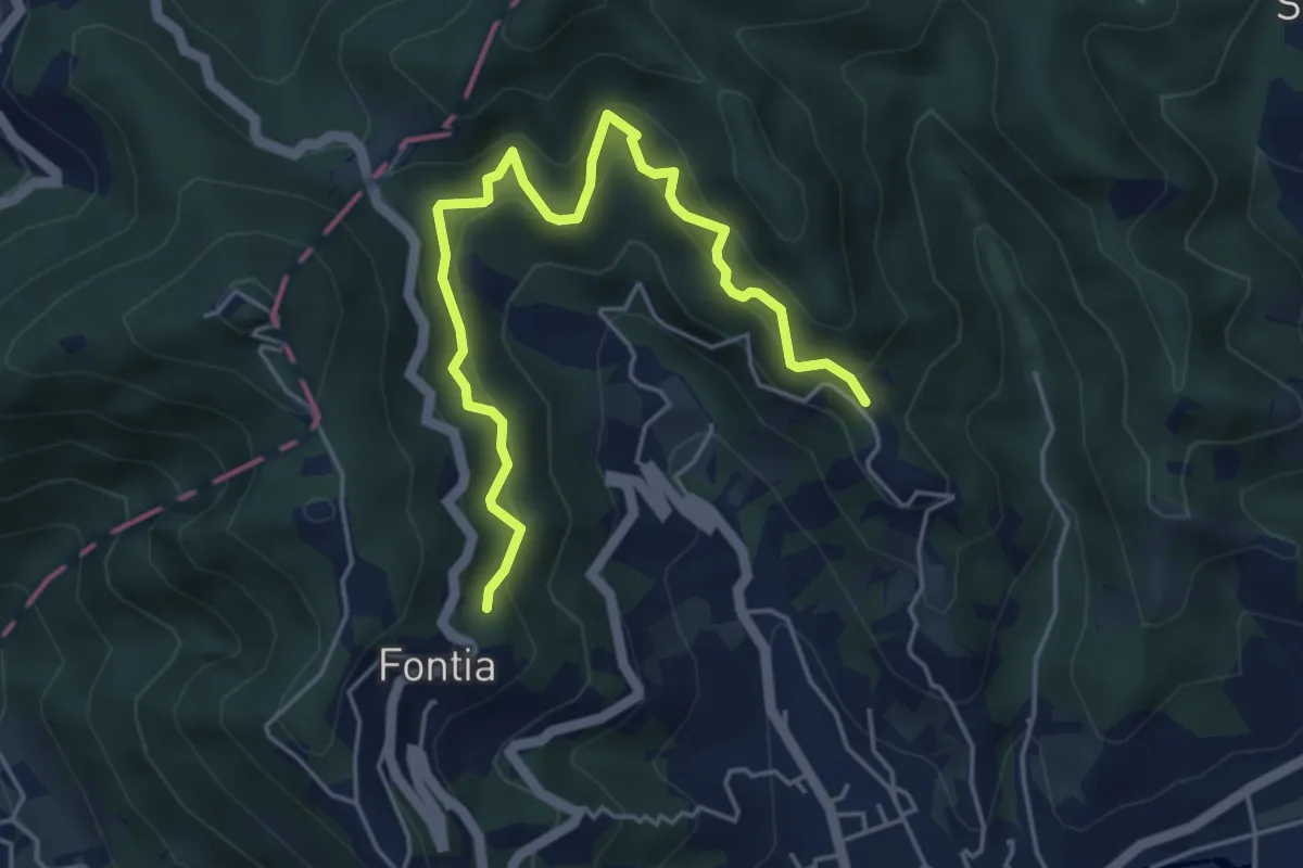
Cammino di Aronte - Tappa 1
5.5 km · ↑ 548 m · 2 h 29 min · 2 km away
Medium · Trail
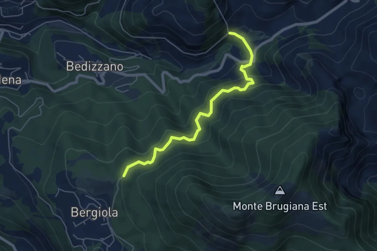
Sentiero dei Cavatori
5.0 km · ↑ 484 m · 2 h 13 min · 3 km away
Expert · Summit
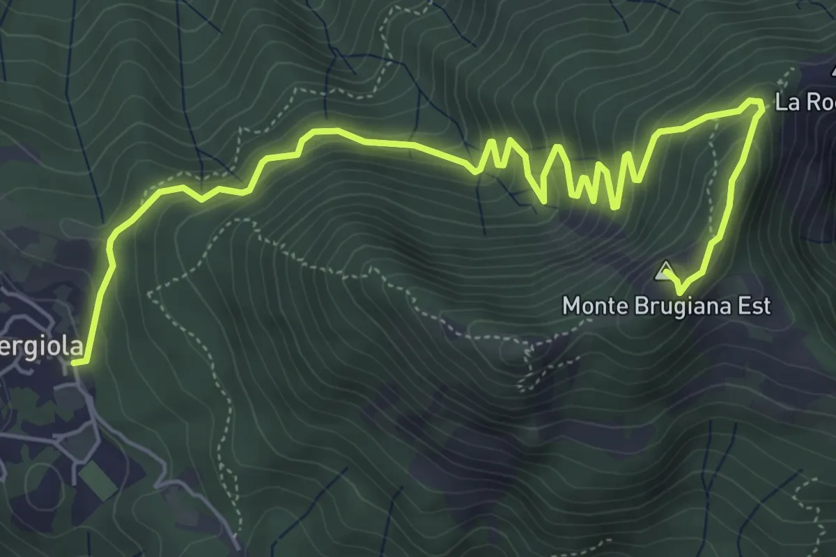
Bergiola Foscalina – Monte Brugiana
7.7 km · ↑ 572 m · 3 h 4 min · 3 km away
Demanding · Summit
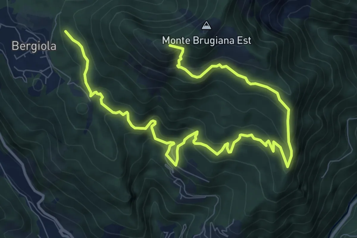
Bergiola Foscalina (raccordo 152) – Monte Brugiana (raccordo 152)
13.2 km · ↑ 952 m · 5 h 11 min · 3 km away
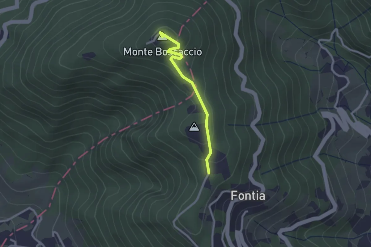
Easy · Summit
Percorso 370 – Percorso 368
2.0 km · ↑ 87 m · 39 min · 3 km away
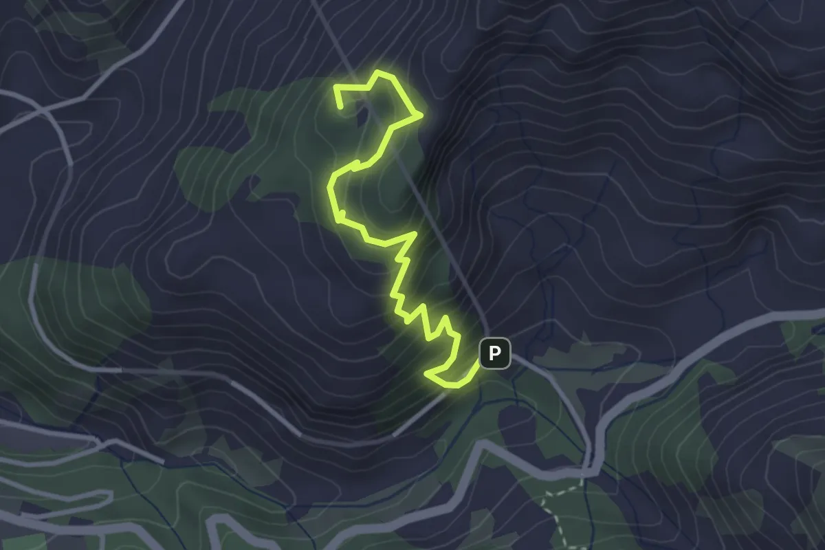
Medium · Summit
Sentiero del Marmo
3.3 km · ↑ 349 m · 1 h 31 min · 3 km away
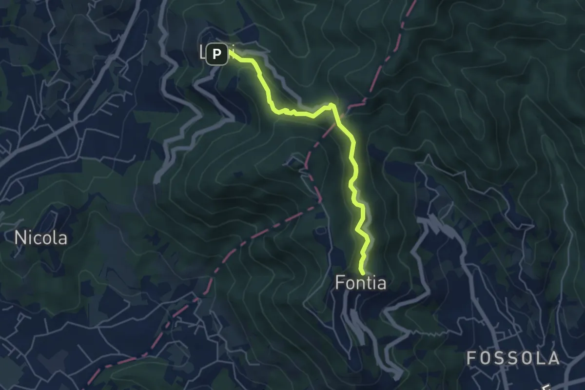
Easy · Trail
Ortonovo – Percorso 362
4.6 km · ↑ 238 m · 1 h 37 min · 4 km away
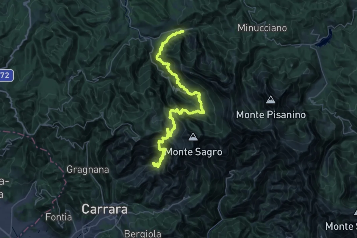
Demanding · Trail
Ravaccione – Equi Terme
17.2 km · ↑ 1454 m · 7 h 33 min · 4 km away
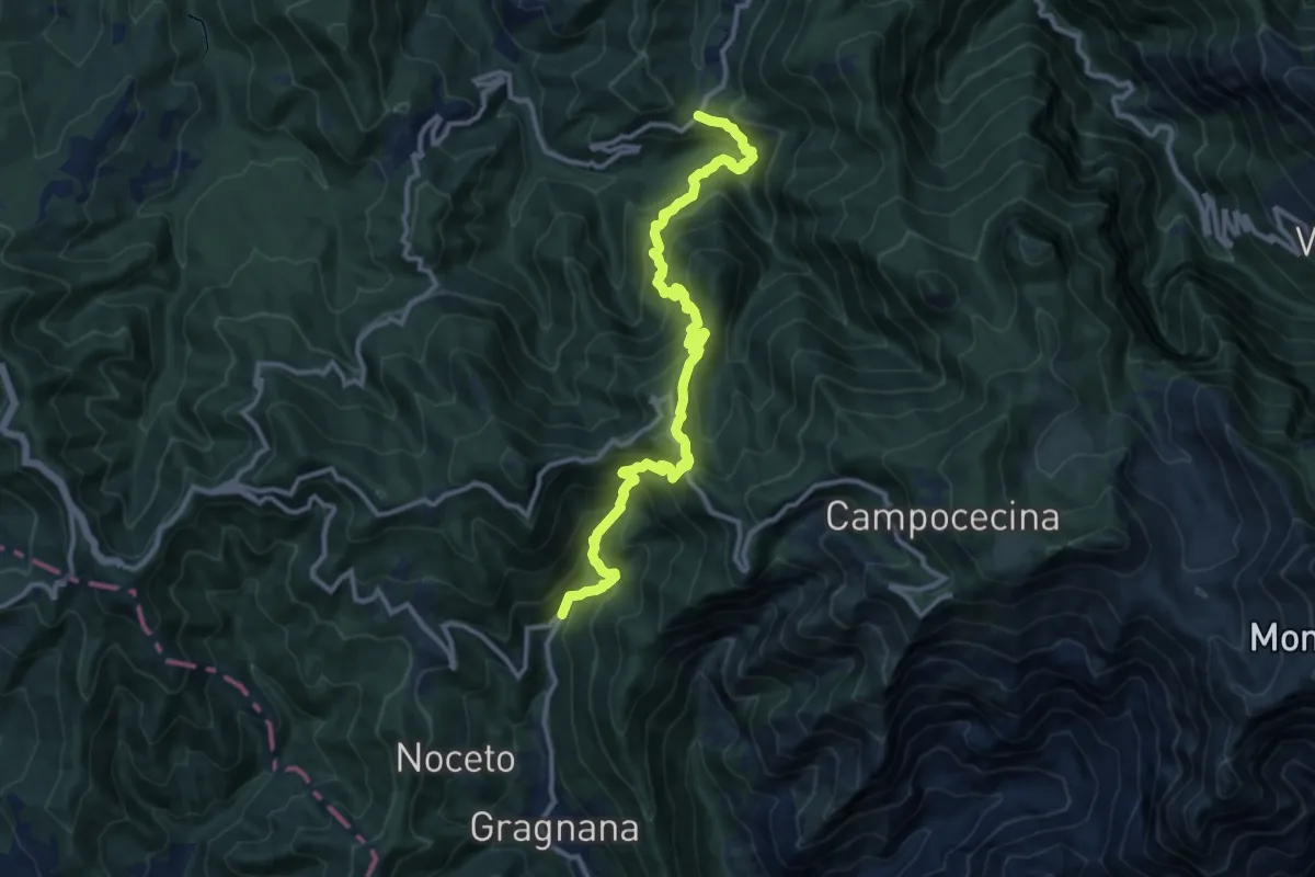
Demanding · Trail
Ponte Storto – Maestà della Villa
13.5 km · ↑ 1285 m · 5 h 58 min · 4 km away
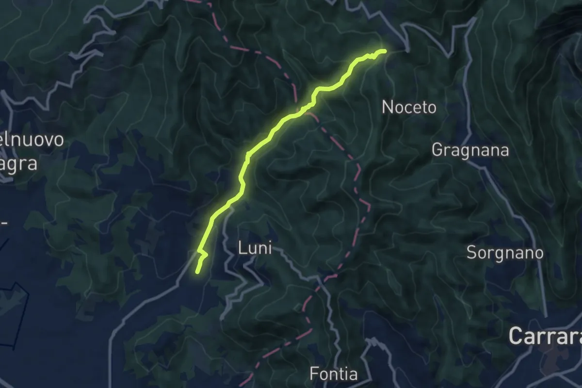
Medium · Trail
Casano – Castelpoggio
7.9 km · ↑ 432 m · 2 h 49 min · 4 km away
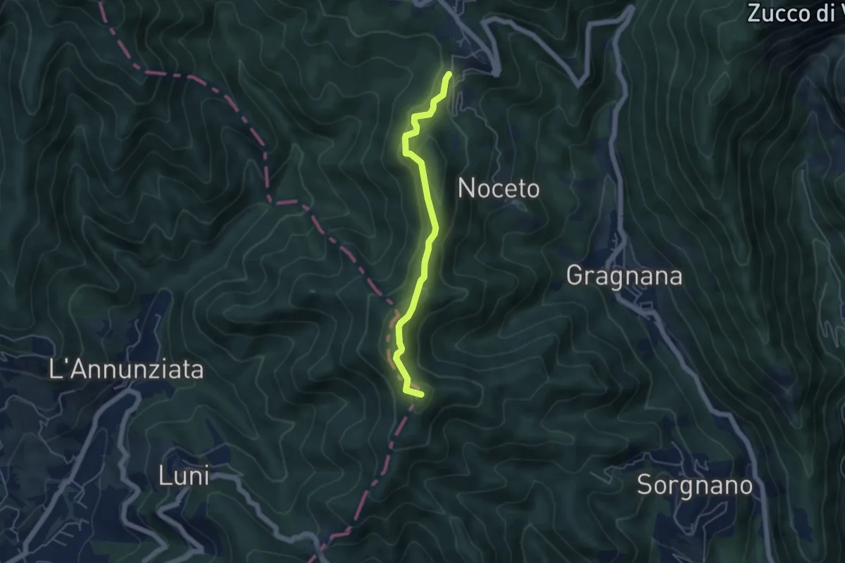
Easy · Summit
Cammino di Aronte - Tappa 2
4.5 km · ↑ 206 m · 1 h 30 min · 4 km away
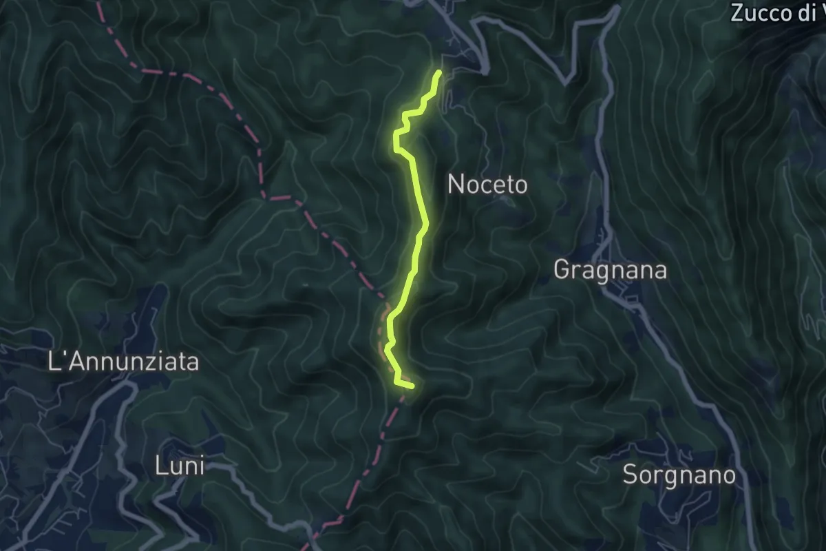
Easy · Summit
Ortonovo – Castelpoggio
4.5 km · ↑ 206 m · 1 h 30 min · 4 km away
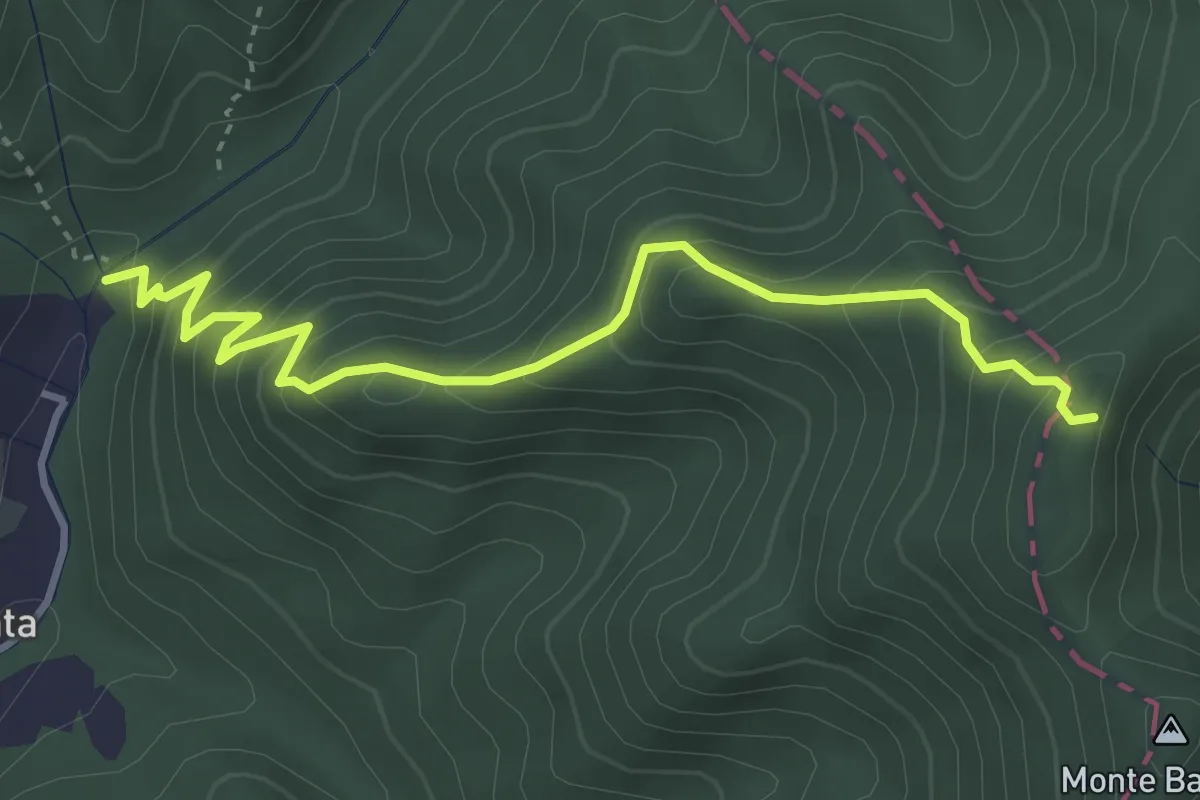
Medium · Trail
Molino del Lucco – Volpiglione
4.1 km · ↑ 419 m · 1 h 53 min · 4 km away
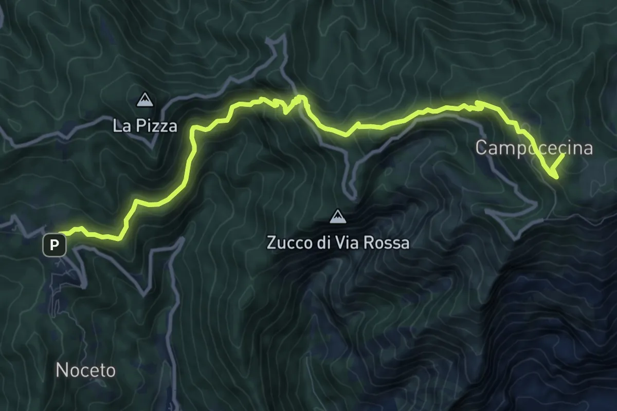
Demanding · Summit
Castelpoggio – Rifugio Carrara
12.1 km · ↑ 946 m · 4 h 55 min · 4 km away
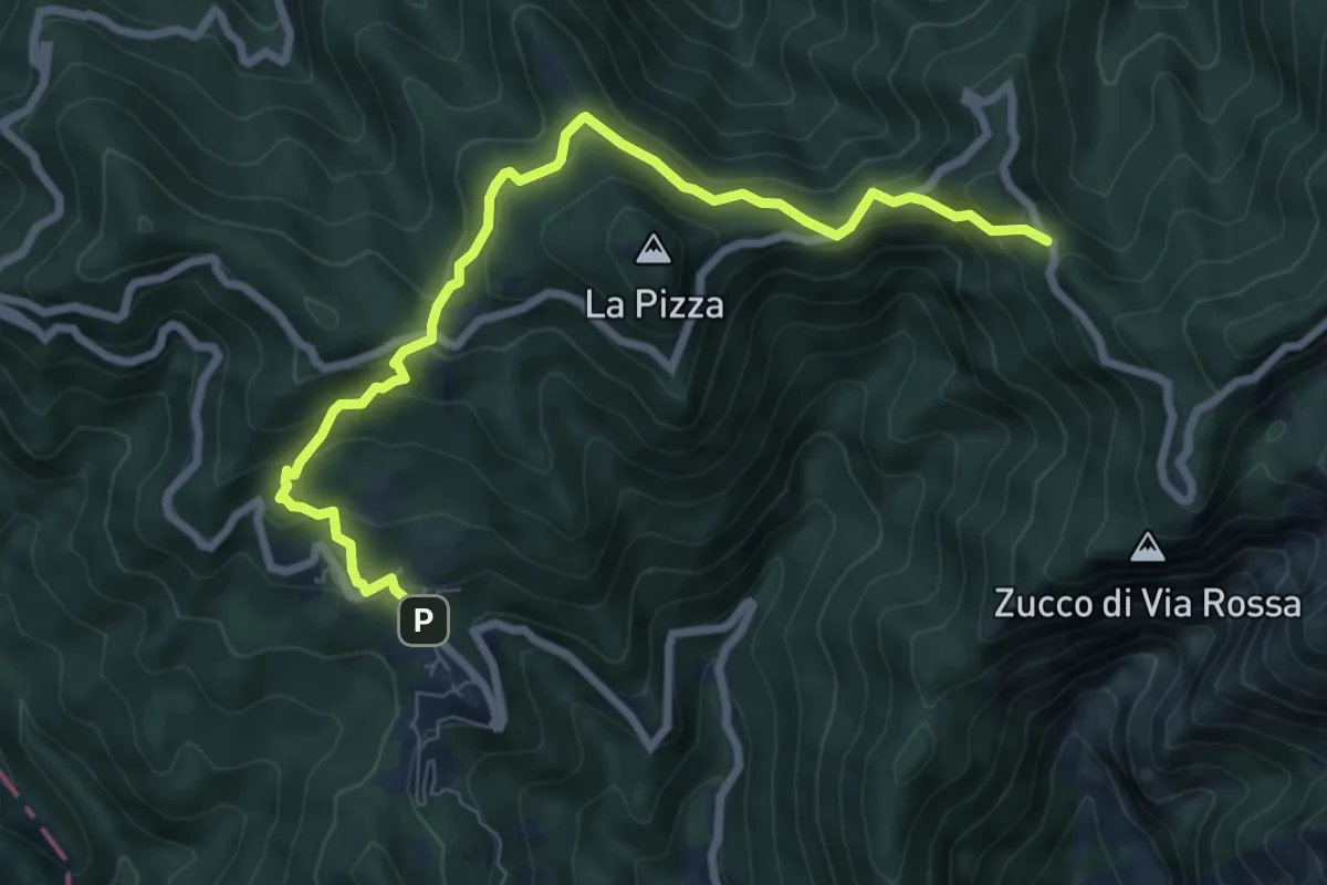
Medium · Trail
Castelpoggio – Gabellaccia
8.4 km · ↑ 454 m · 2 h 58 min · 4 km away
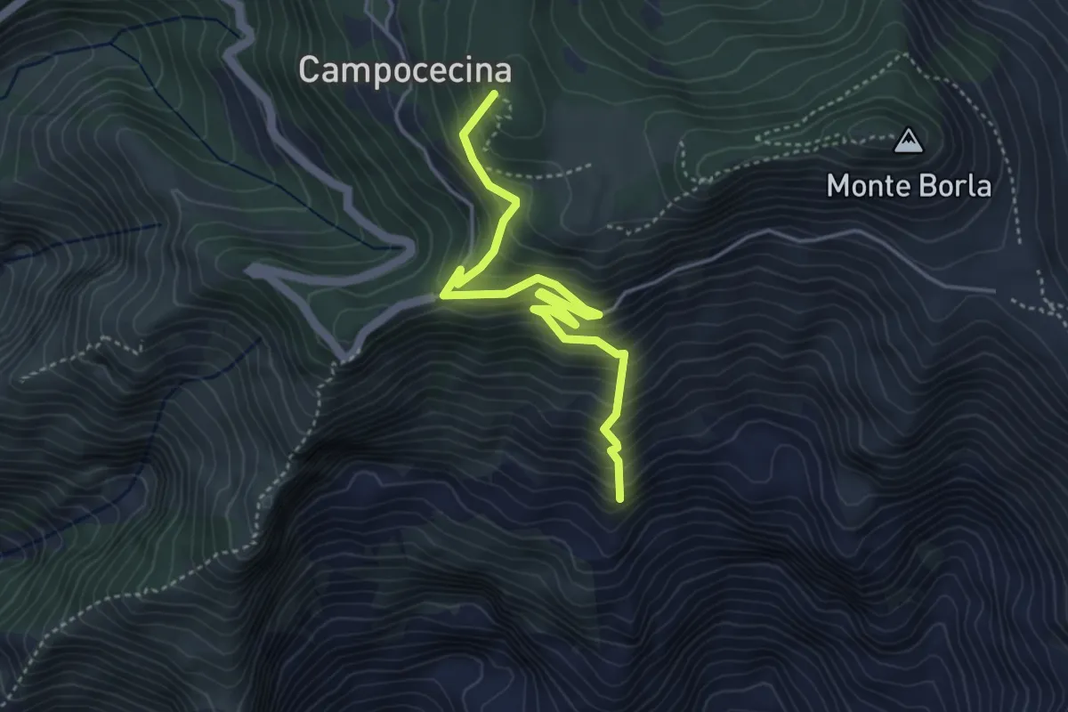
Medium · Summit
Torano – Rifugio Carrara
4.5 km · ↑ 586 m · 2 h 20 min · 4 km away
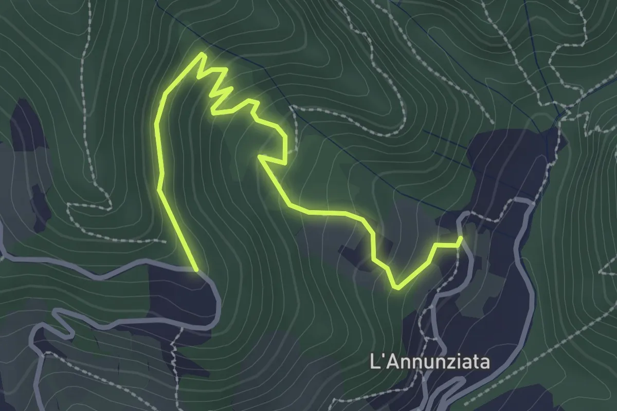
Easy · Trail
Percorso 373 – Percorso 304
3.2 km · ↑ 217 m · 1 h 14 min · 4 km away
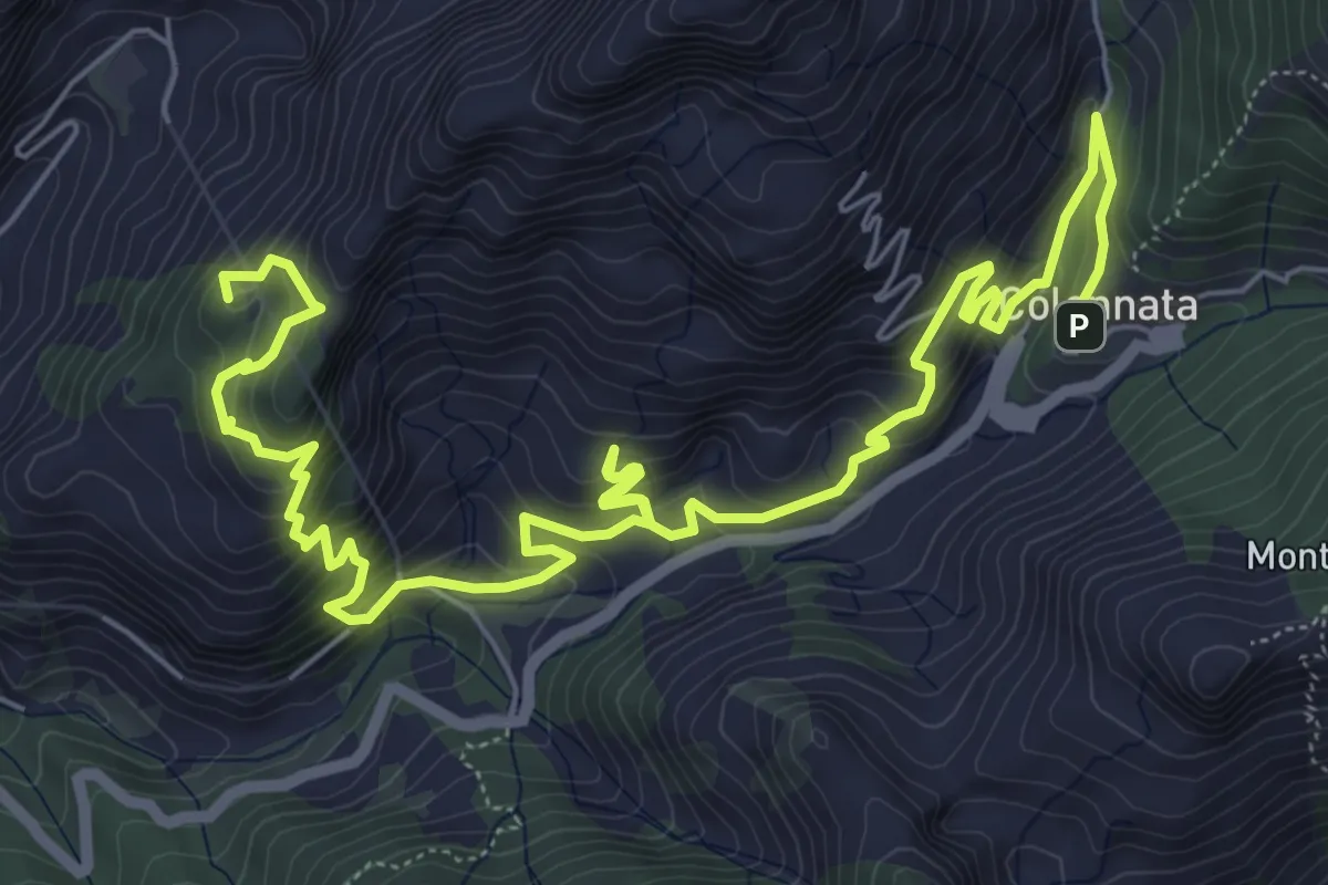
Demanding · Summit
Cammino di Aronte - Tappa 3
10.4 km · ↑ 832 m · 4 h 16 min · 5 km away
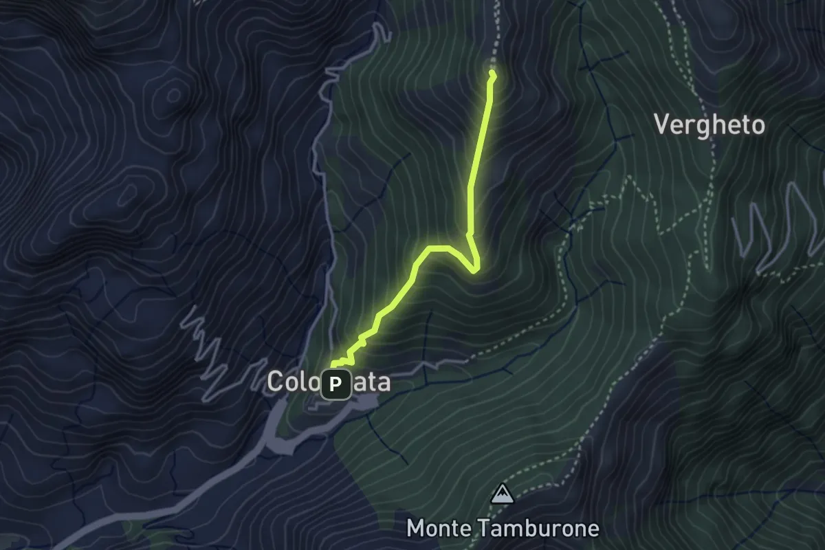
Medium · Summit
Colonnata – Vergheto
2.9 km · ↑ 404 m · 1 h 34 min · 5 km away
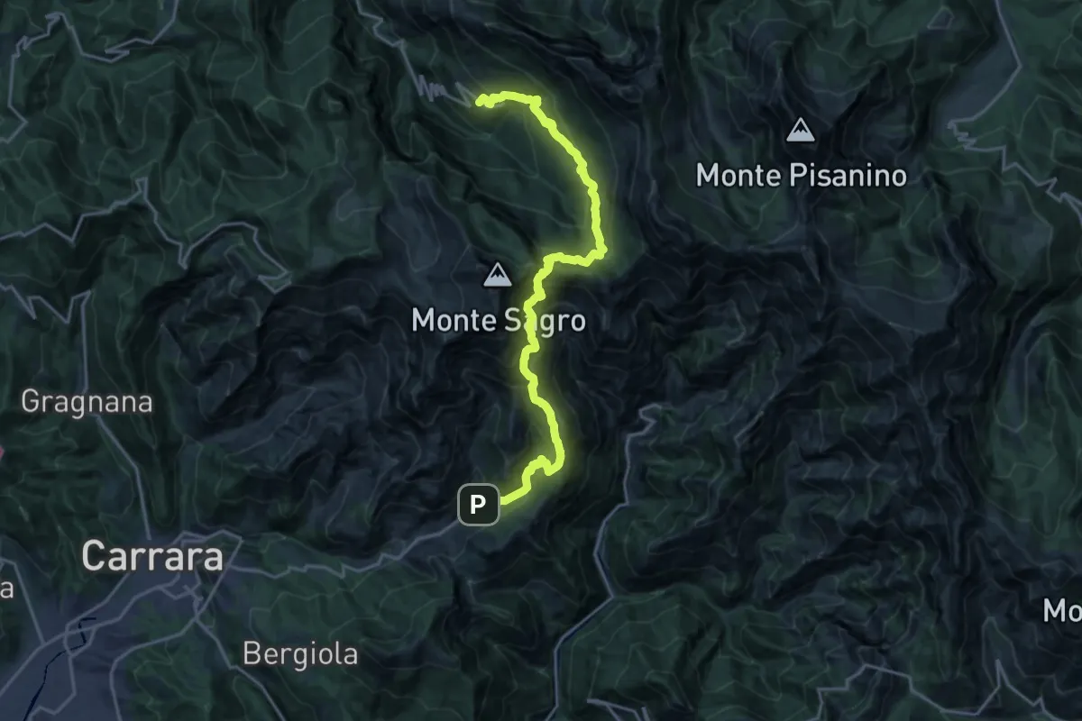
Demanding · Trail
Colonnata – Vinca
10.3 km · ↑ 1020 m · 4 h 40 min · 5 km away
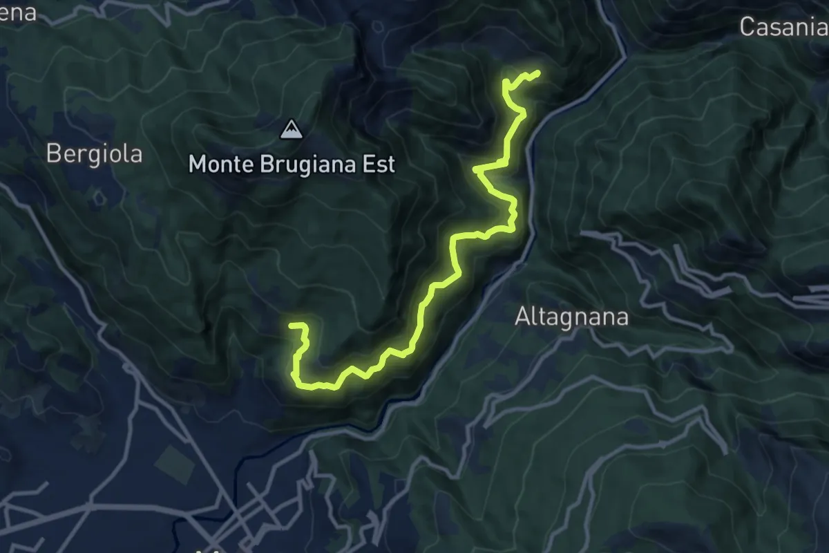
Demanding · Trail
Cammino del Frigido - Tappa 6
11.7 km · ↑ 847 m · 4 h 36 min · 5 km away
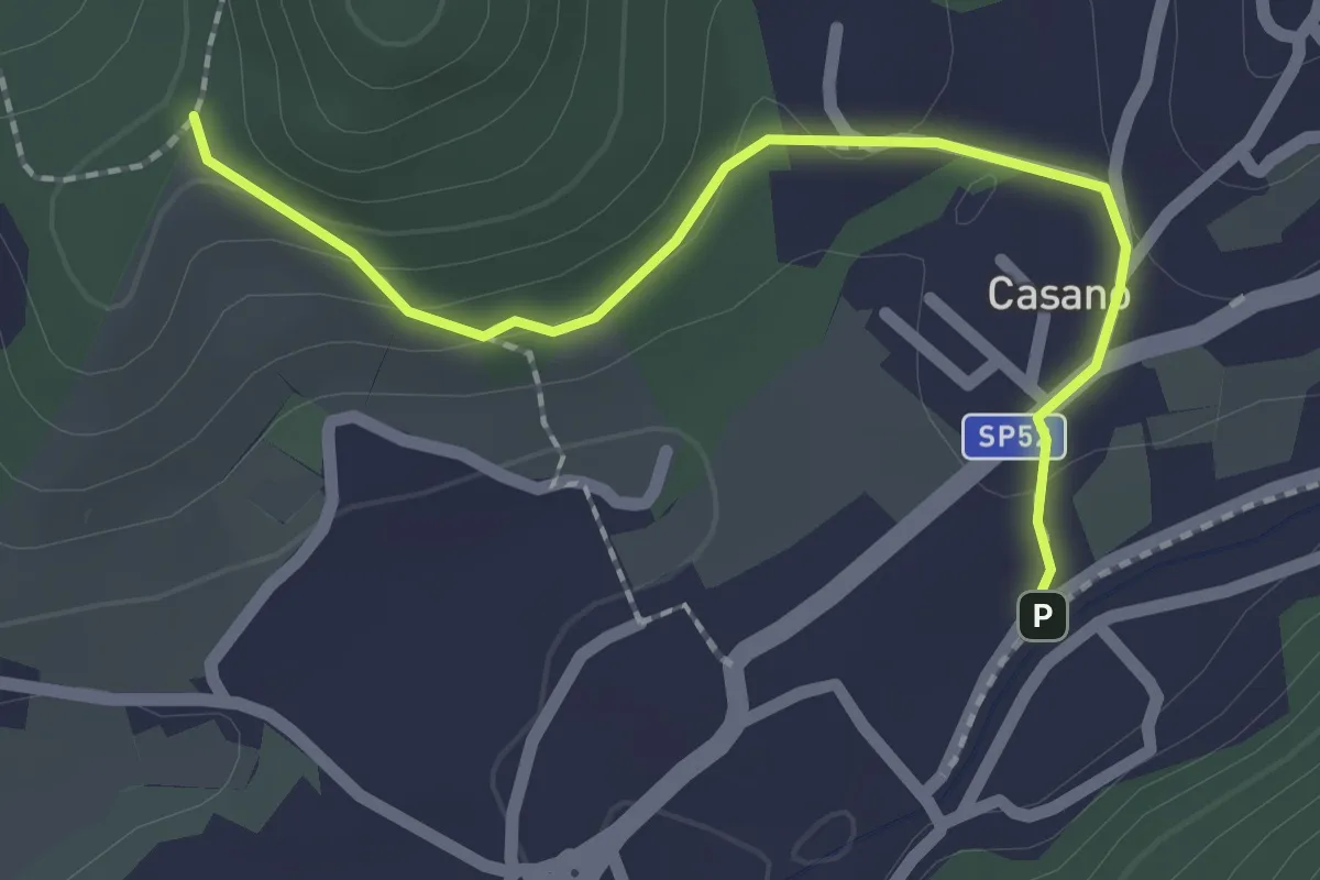
Easy · Trail
Serravalle – Monte dei Frati
2.2 km · ↑ 63 m · 40 min · 5 km away
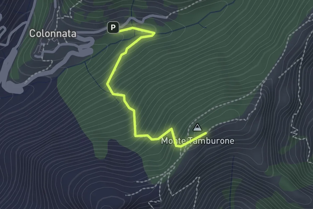
Easy · Summit
Colonnata – Croce di Gioia
2.1 km · ↑ 230 m · 1 h · 5 km away
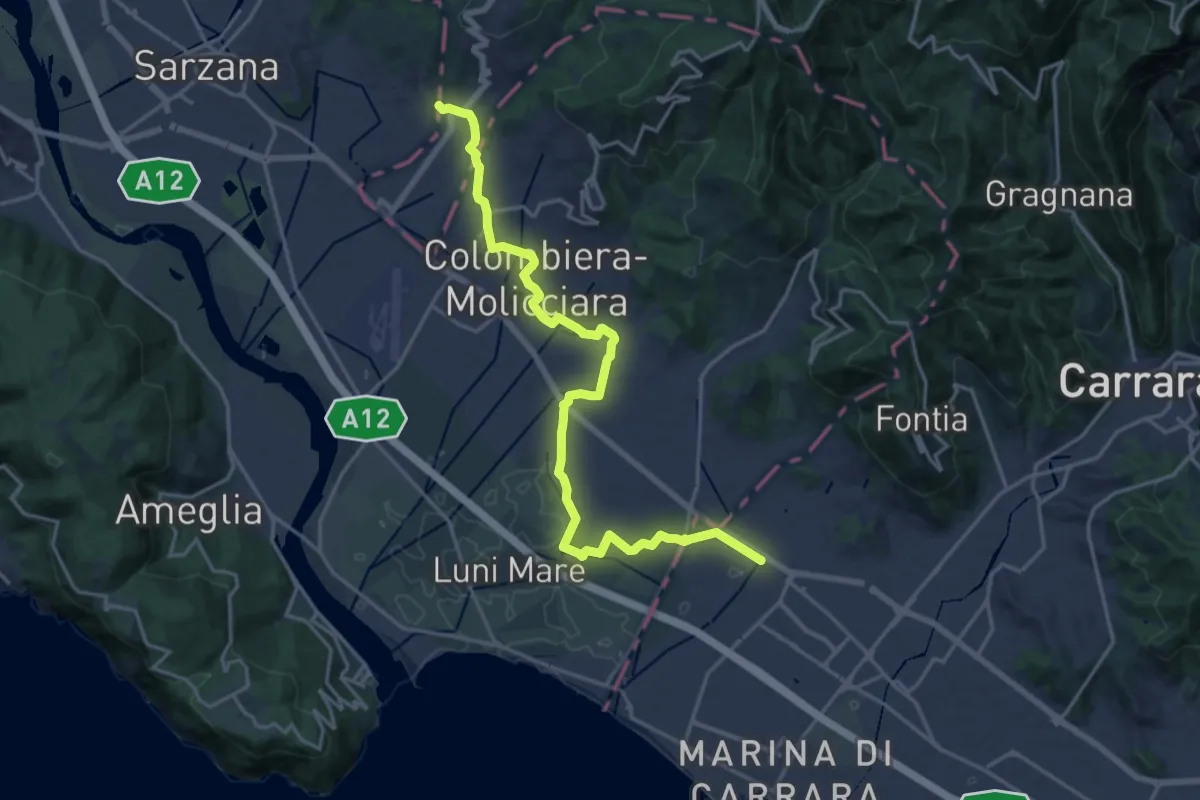
Medium · Pilgrim path
Via Francigena - 06 Toscana
10.5 km · ↑ 63 m · 2 h 44 min · 5 km away
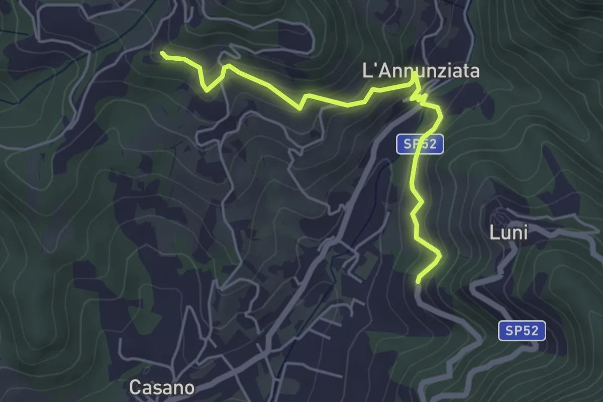
Easy · Trail
Santa Maria – Noceto
4.7 km · ↑ 307 m · 1 h 46 min · 5 km away
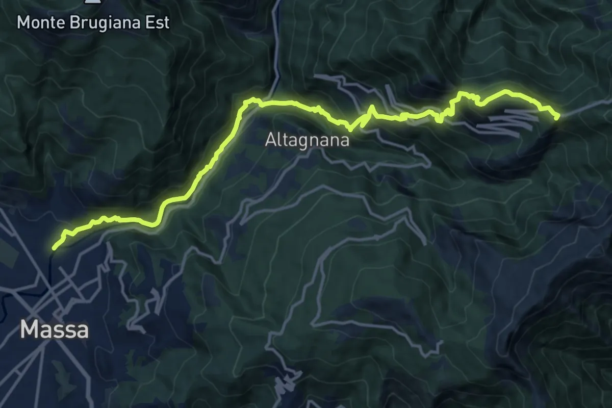
Demanding · Summit
Massa – Le Gobbie
16.2 km · ↑ 1286 m · 6 h 36 min · 5 km away
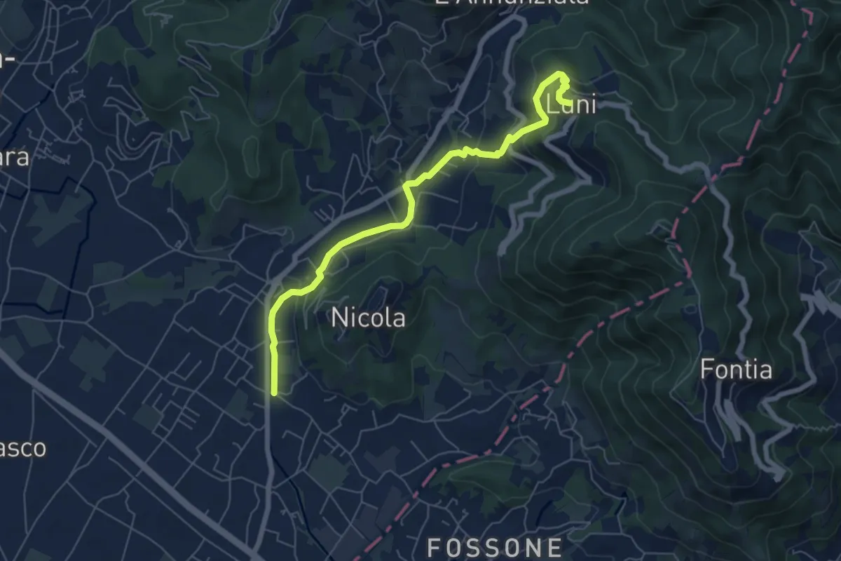
Easy · Trail
Isola - Lungo Parmignola - Ortonovo
6.6 km · ↑ 264 m · 2 h 8 min · 5 km away
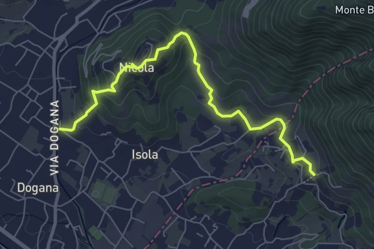
Easy · Trail
Isola – Fossola
6.3 km · ↑ 287 m · 2 h 6 min · 5 km away
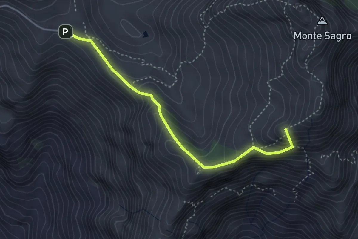
Demanding · Summit
Foce di Pianza – Foce Luccica
3.8 km · ↑ 302 m · 1 h 33 min · 5 km away
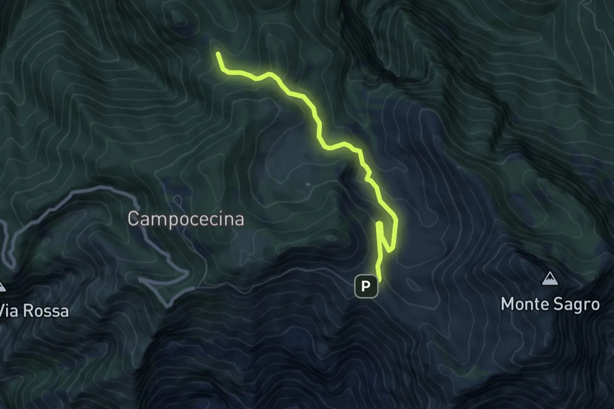
Medium · Trail
Foce di Pianza – Casa Cardeto
7.0 km · ↑ 327 m · 2 h 22 min · 5 km away
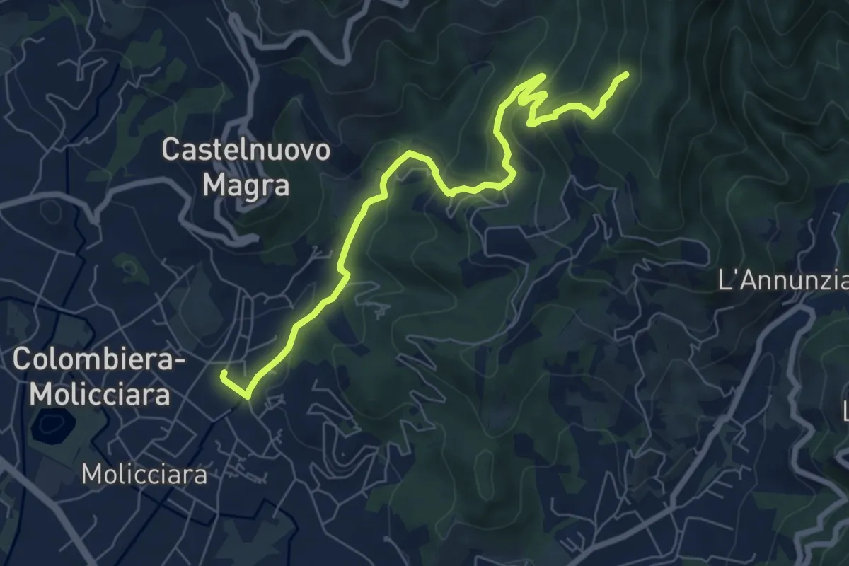
Medium · Trail
Molino del Piano – Vallecchia
7.9 km · ↑ 388 m · 2 h 43 min · 5 km away
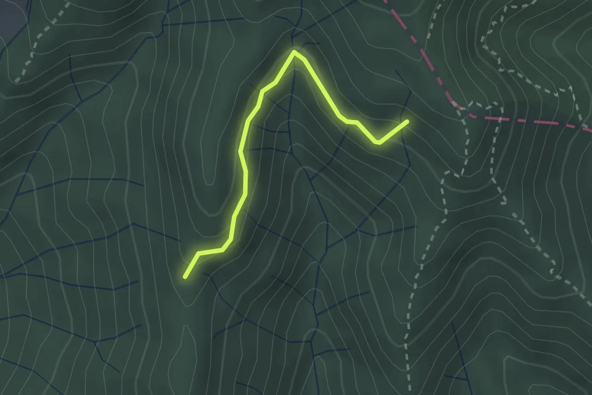
Easy · Trail
Percorso 373 – Percorso 304
2.2 km · ↑ 131 m · 48 min · 5 km away
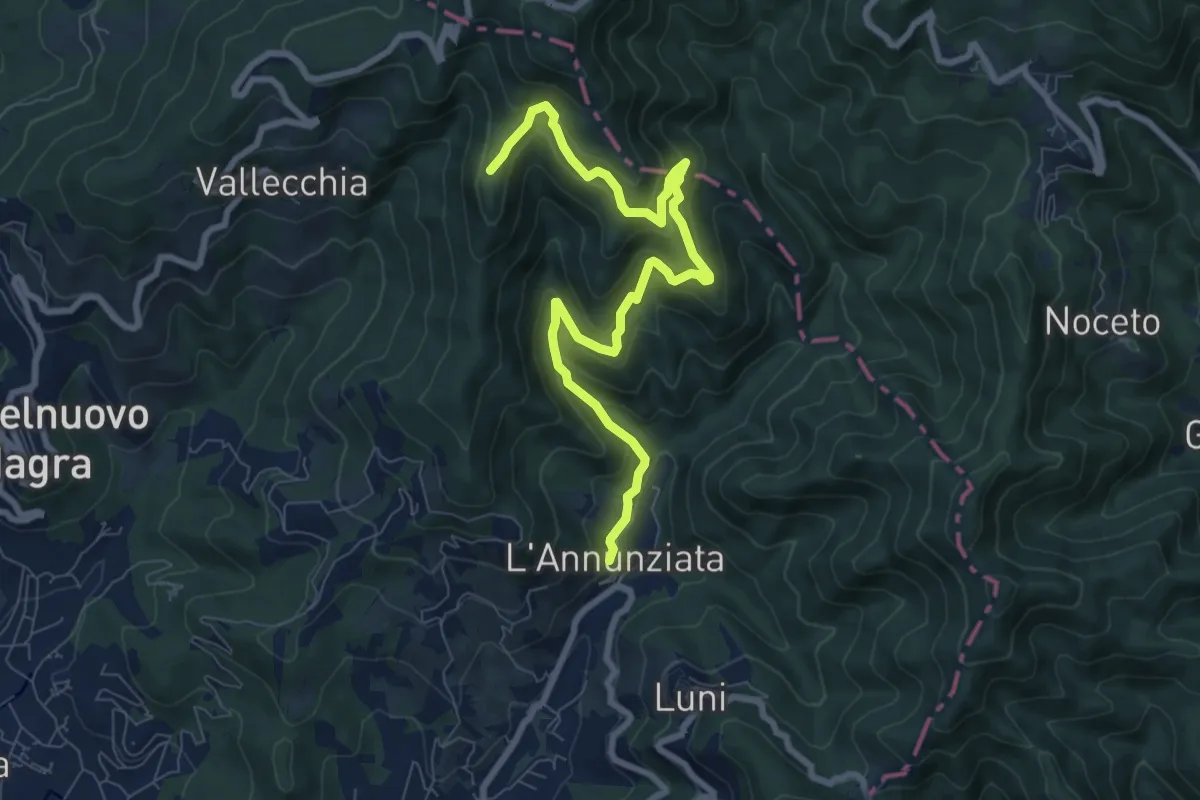
Medium · Trail
Percorso 364 - Località Annunziata – Percorso 304
9.3 km · ↑ 643 m · 3 h 36 min · 6 km away
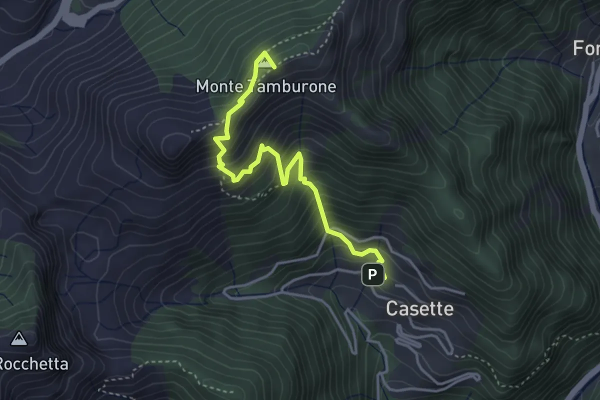
Medium · Summit
Forno (via Bassa Tambura) – Casette
3.9 km · ↑ 516 m · 2 h 3 min · 6 km away
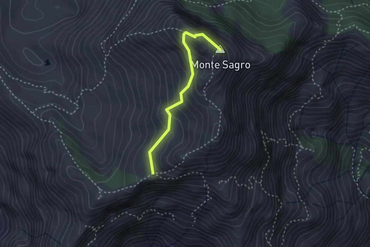
Medium · Summit
Via Normale al Sagro
2.5 km · ↑ 246 m · 1 h 8 min · 6 km away
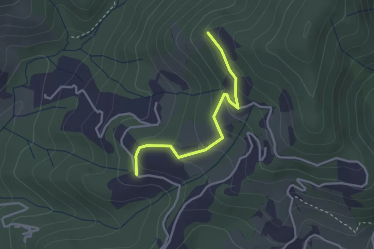
Easy · Trail
Santa Rosa (Percorso 308) – Orbagnano di Sopra
2.5 km · ↑ 130 m · 52 min · 6 km away
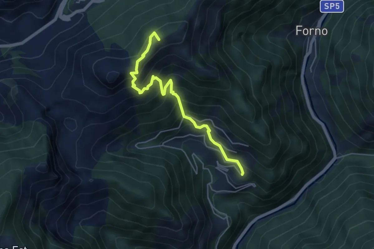
Medium · Summit
Cammino del Frigido - Tappa 5
4.6 km · ↑ 573 m · 2 h 20 min · 6 km away
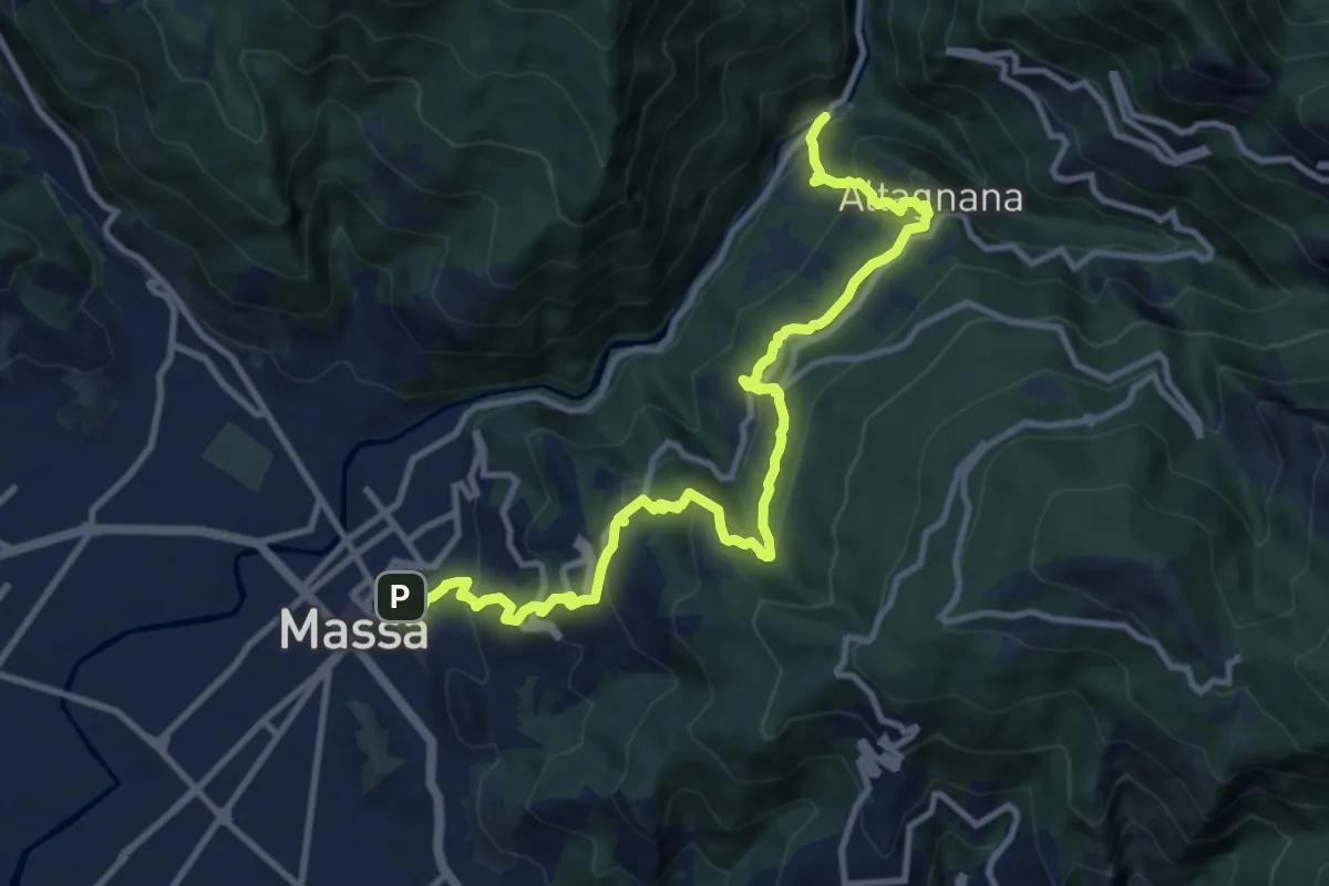
Demanding · Trail
Cammino del Frigido - Tappa 1
13.0 km · ↑ 815 m · 4 h 50 min · 6 km away
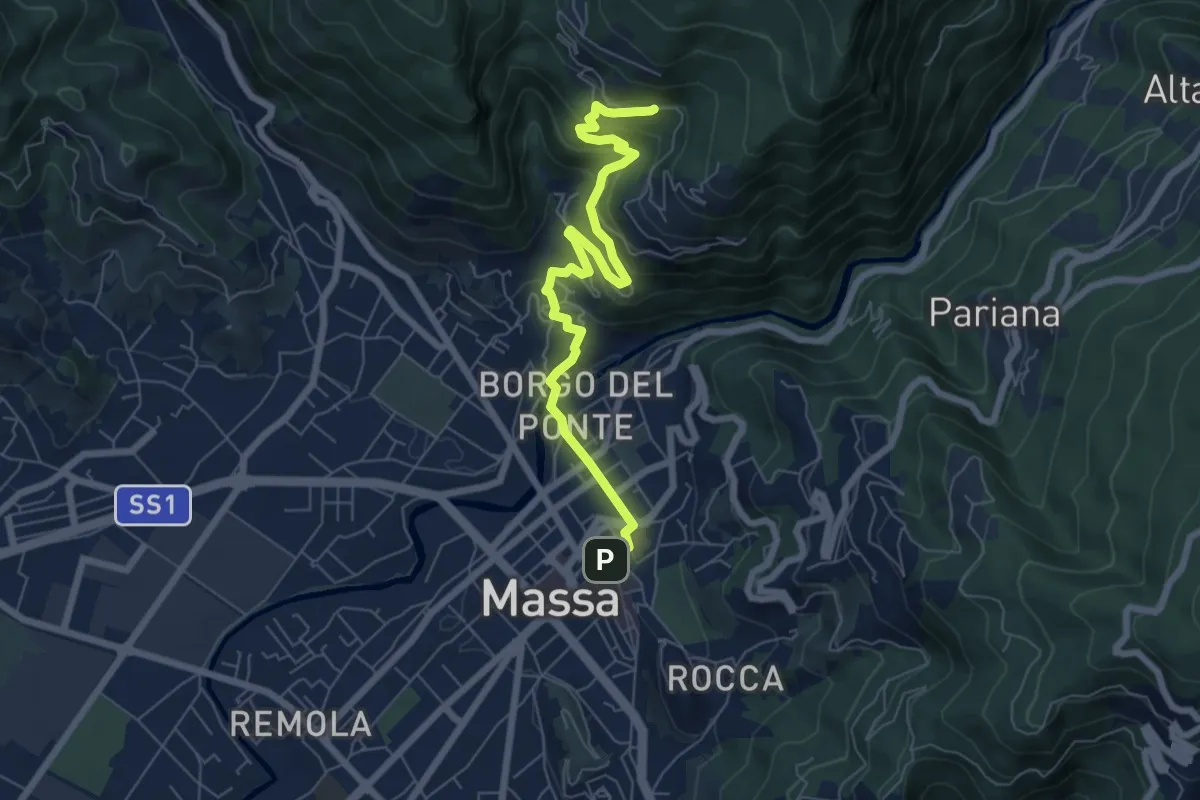
Medium · Trail
Cammino del Frigido - Tappa 7
7.3 km · ↑ 342 m · 2 h 28 min · 6 km away
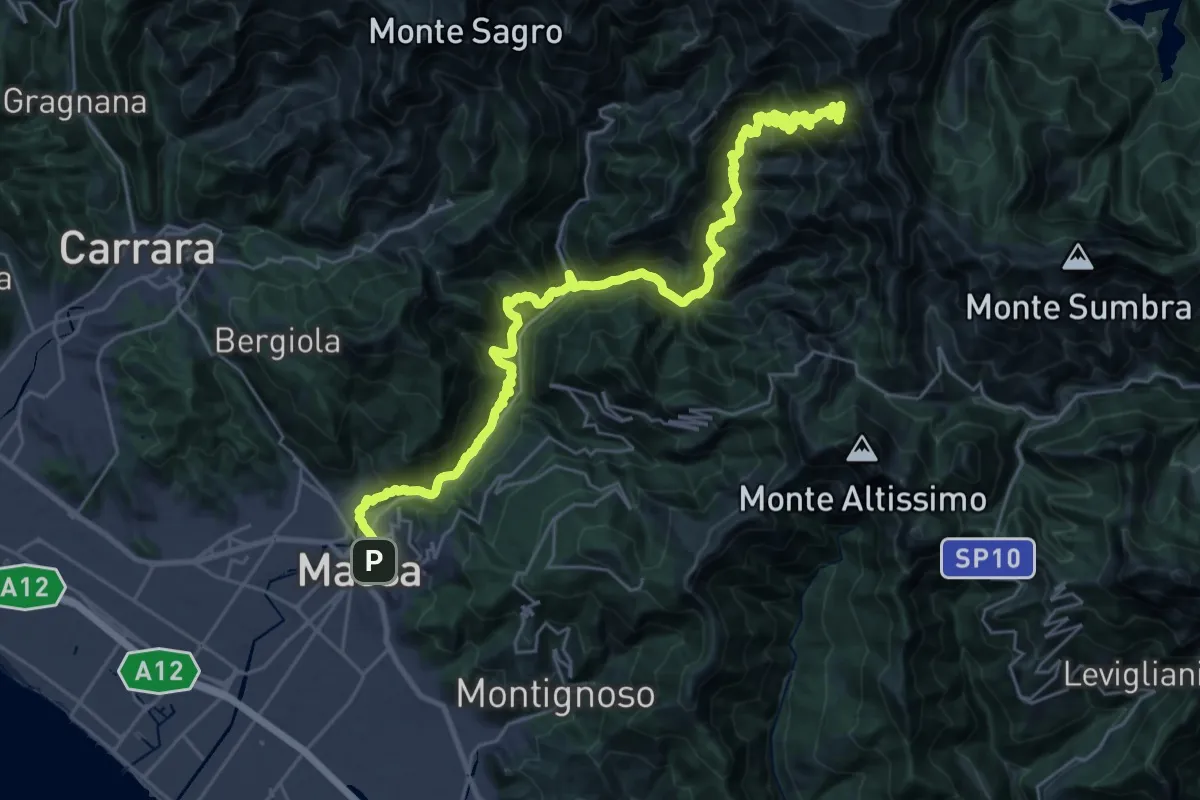
Demanding · Summit
Via Vandelli - Tappa 7
35.0 km · ↑ 2743 m · 14 h 12 min · 6 km away
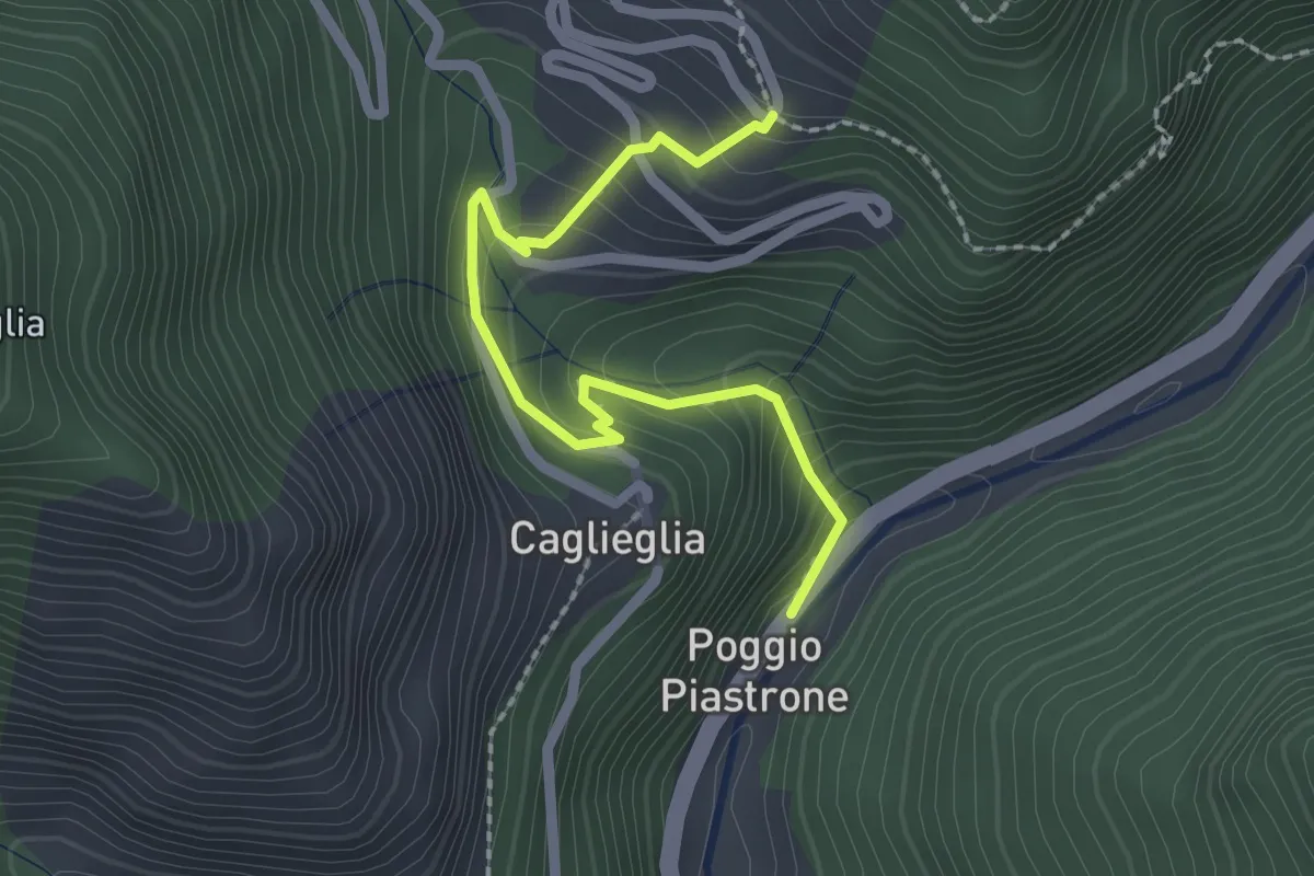
Easy · Trail
Poggio Piastrone - Casette
2.4 km · ↑ 224 m · 1 h 2 min · 6 km away
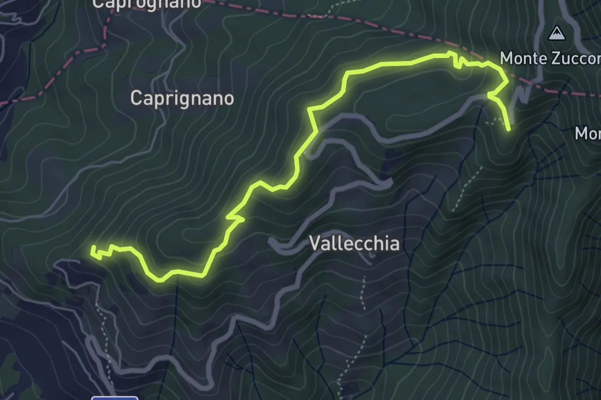
Medium · Trail
Monte Doglio – Case Bertella
6.4 km · ↑ 363 m · 2 h 18 min · 6 km away
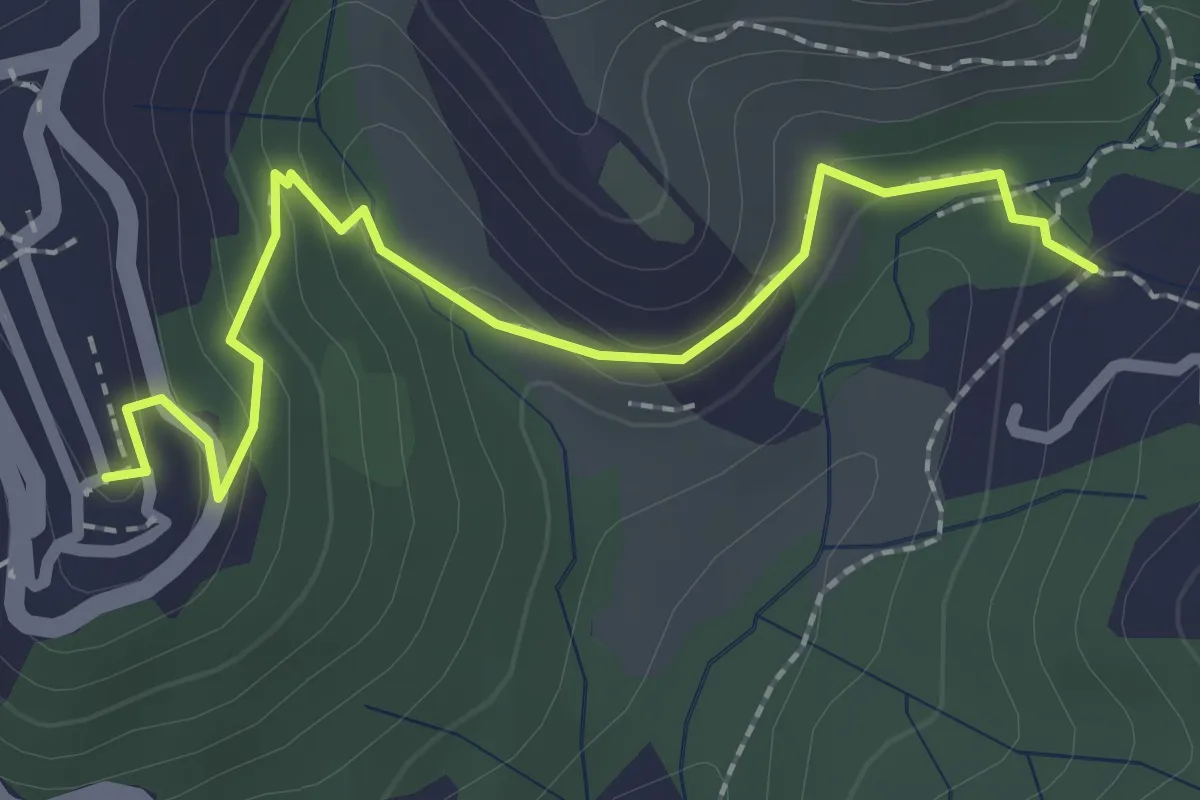
Easy · Trail
Sentiero 301 – Sentiero 302
2.6 km · ↑ 109 m · 50 min · 6 km away
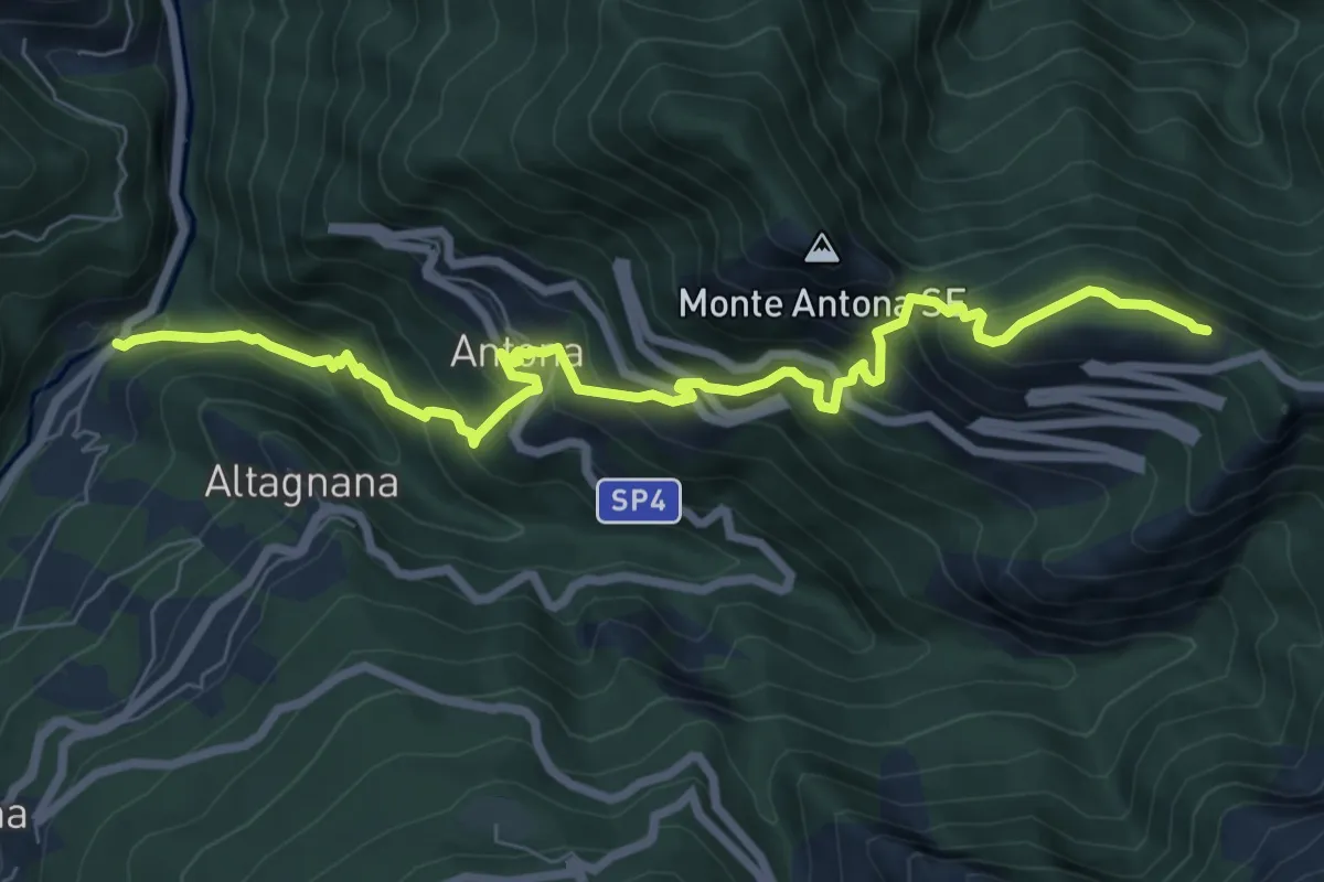
Demanding · Cabin
Cammino del Frigido - Tappa 2
8.7 km · ↑ 818 m · 3 h 50 min · 6 km away