Trails near Carrara
188 hikes starting within 15 km, nearest first.
Nearest first, page 2 of 4
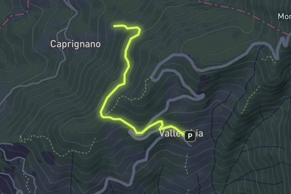
Easy · Trail
Vallecchia – M. Doglio - Il Tofo
3.5 km · ↑ 180 m · 1 h 14 min · 6 km away
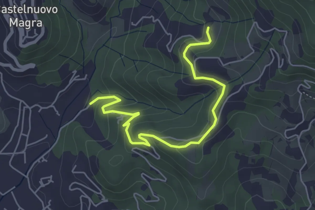
Easy · Trail
Bivio Molino Dogliotti - Marciano
5.4 km · ↑ 211 m · 1 h 44 min · 6 km away
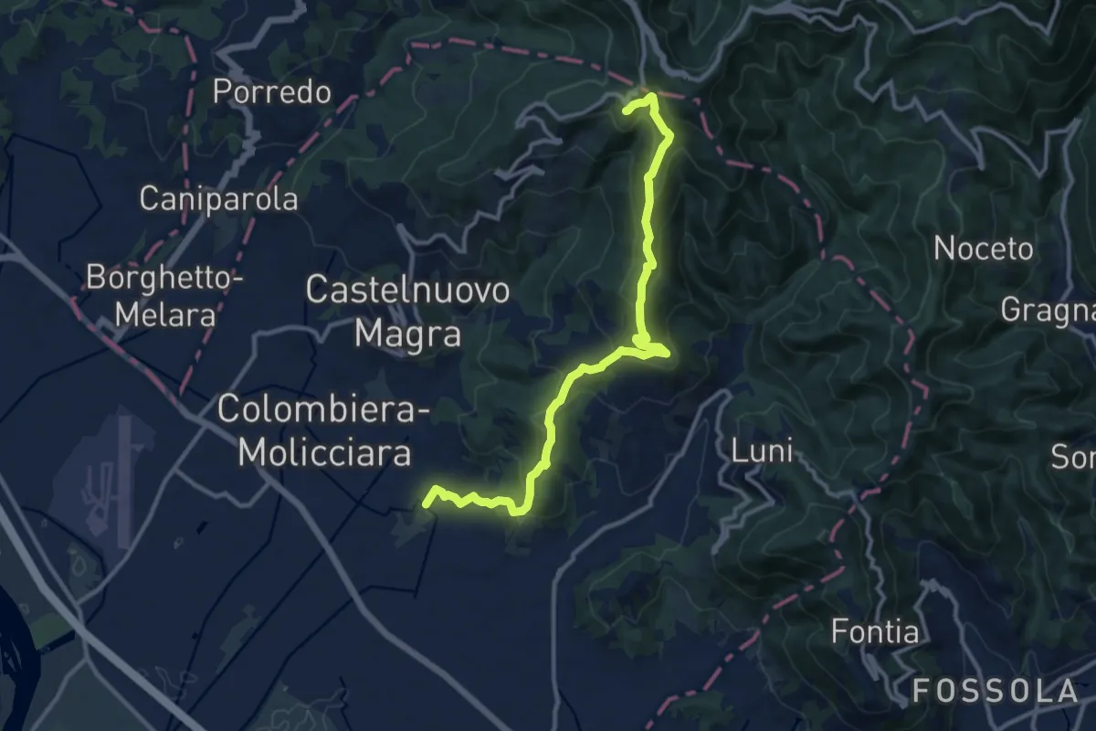
Medium · Trail
Coll. VF - Olmarello - Sarticola – Monticello – C. Bertella
12.1 km · ↑ 625 m · 4 h 13 min · 6 km away
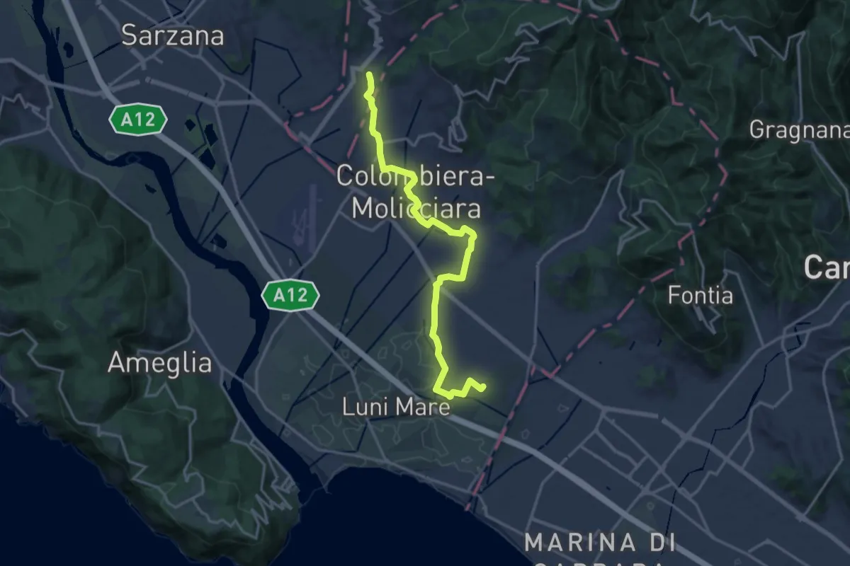
Medium · Trail
Sentiero dei Ducati Variante Luni
16.3 km · ↑ 61 m · 3 h 59 min · 6 km away
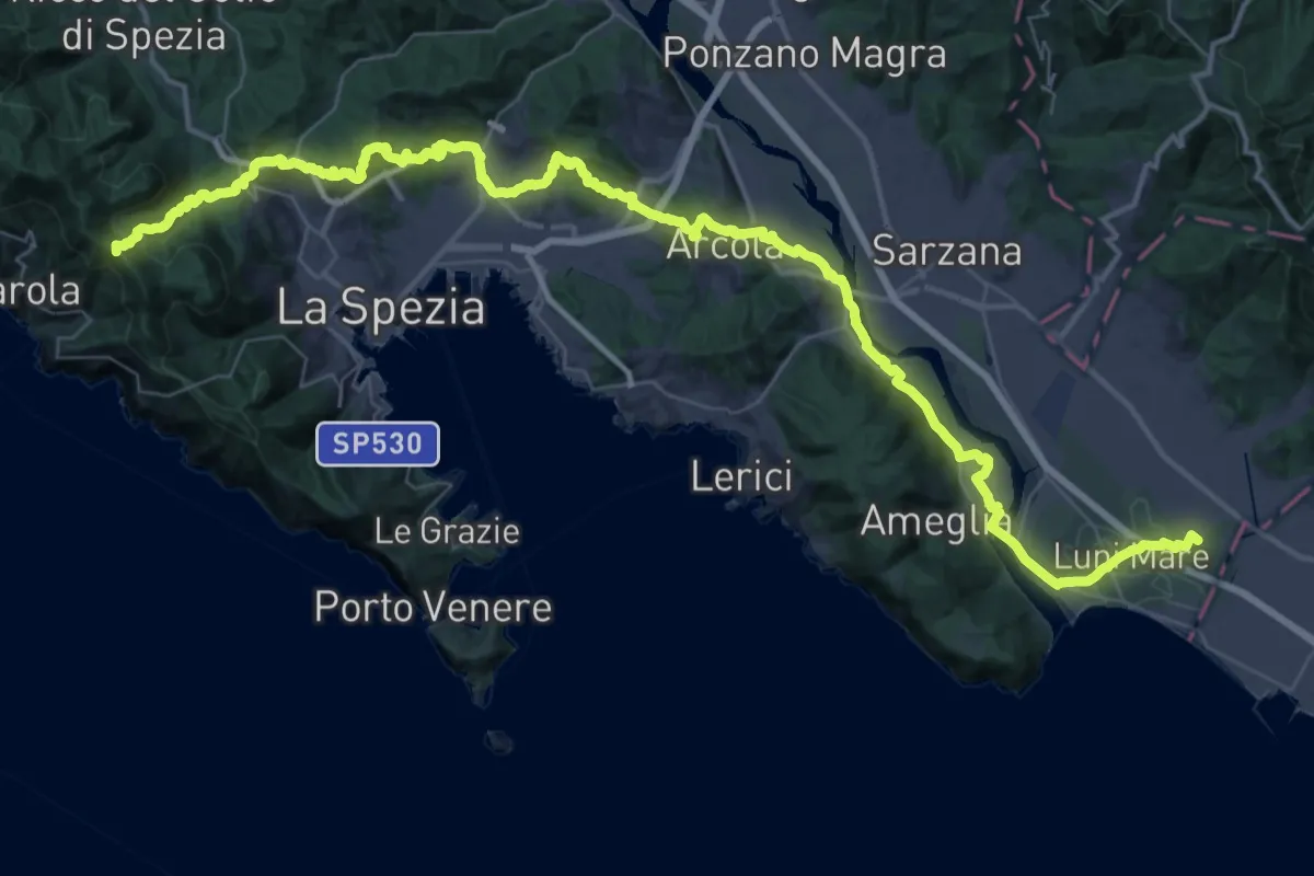
Expert · Summit
Via della Costa - Tappa 12
65.8 km · ↑ 1657 m · 19 h 7 min · 6 km away
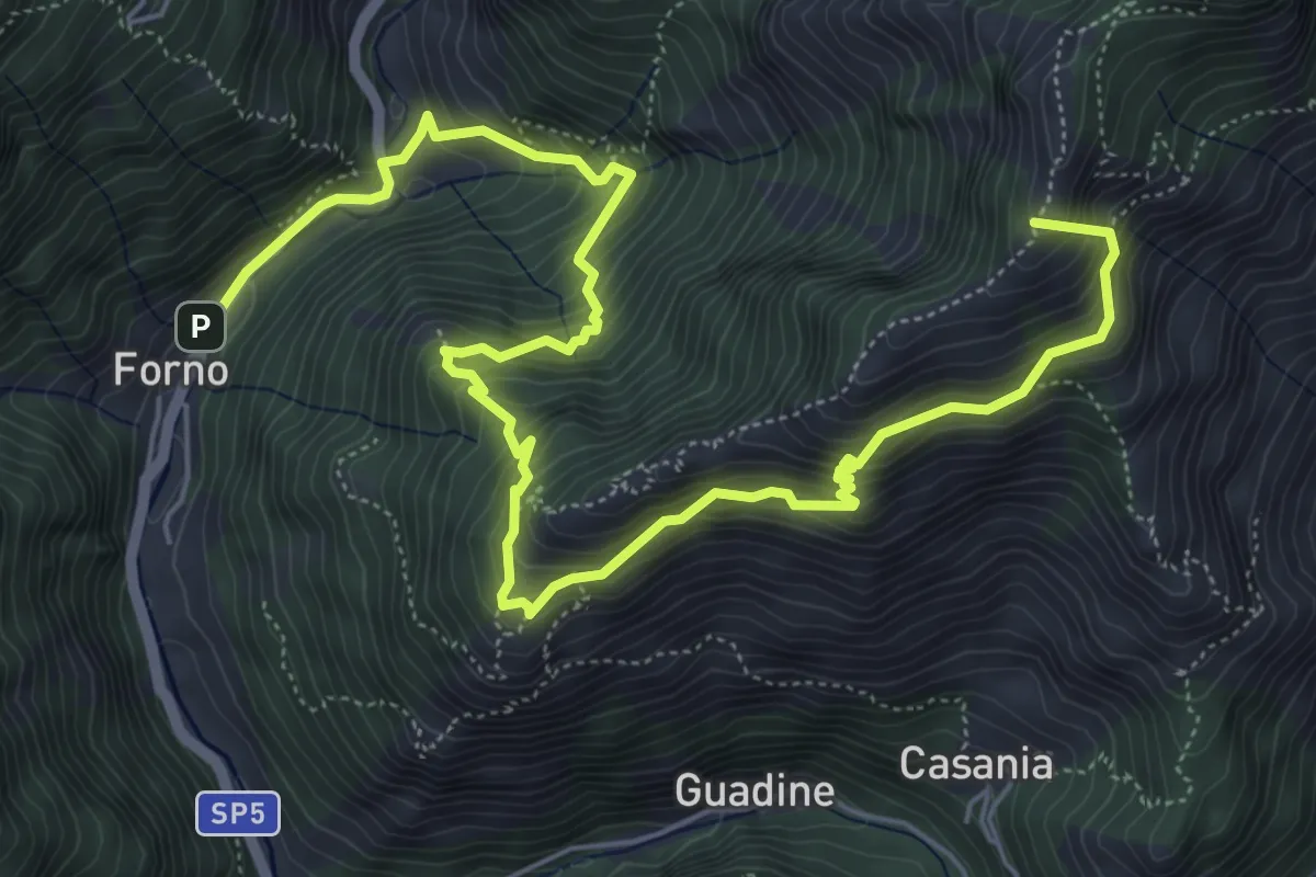
Demanding · Summit
Cammino del Frigido - Tappa 4
8.7 km · ↑ 891 m · 3 h 59 min · 6 km away
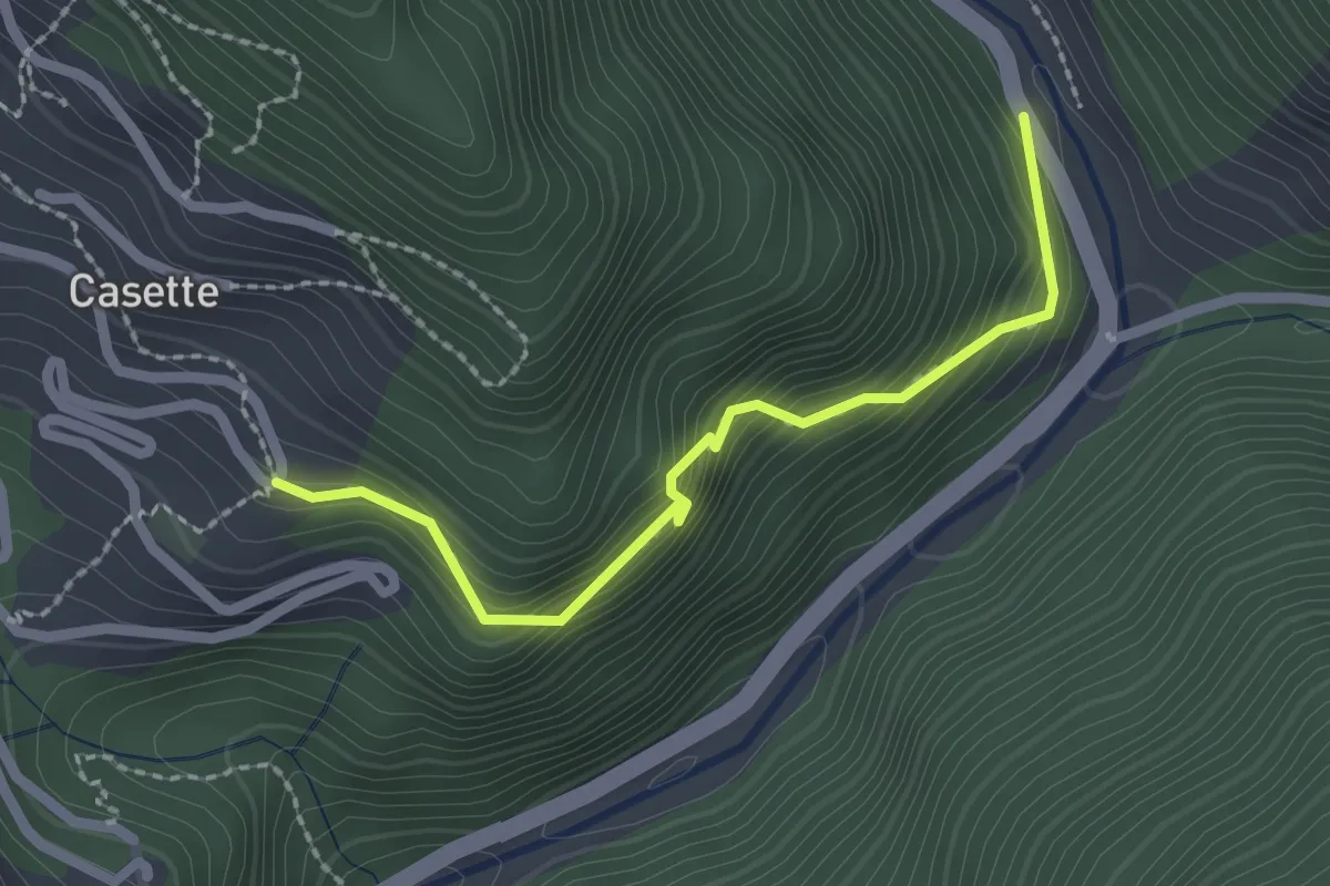
Easy · Trail
Sentiero del Bizzarro
2.2 km · ↑ 282 m · 1 h 8 min · 7 km away
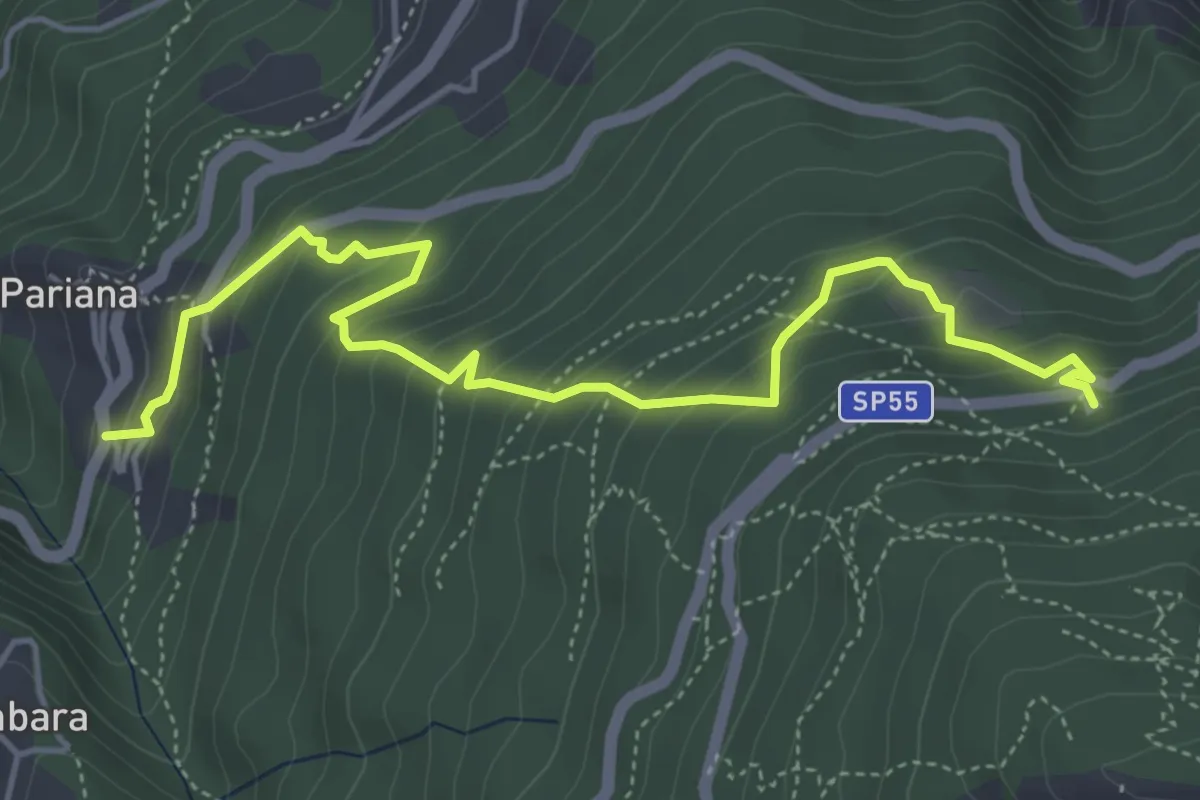
Medium · Trail
Via delle Fonti 6 - Vicinale della Fontana Morosa
5.8 km · ↑ 525 m · 2 h 30 min · 7 km away
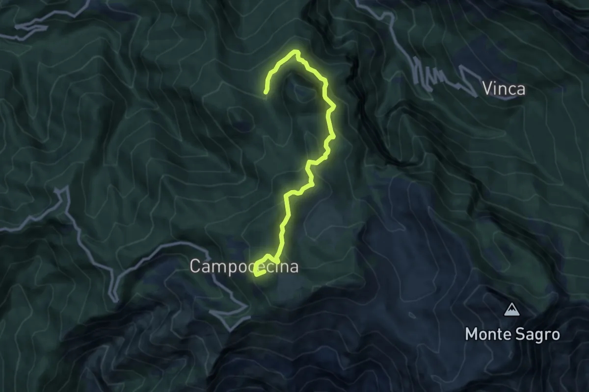
Medium · Summit
Rifugio Carrara – Bivio Monzonara - Innesto Sentiero 40
8.5 km · ↑ 565 m · 3 h 15 min · 7 km away
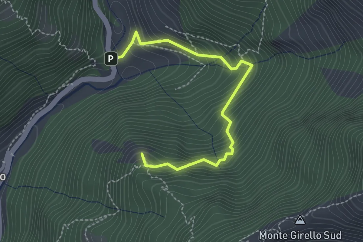
Medium · Summit
Forno – Casania
2.6 km · ↑ 270 m · 1 h 12 min · 7 km away
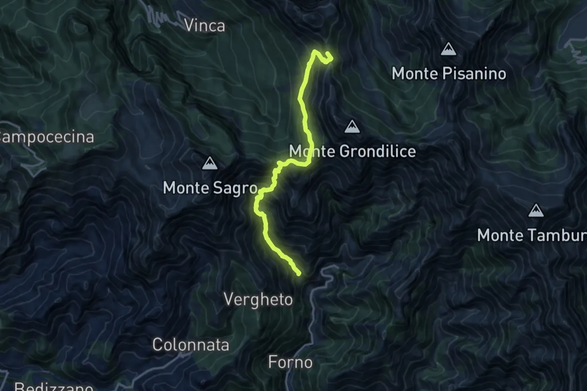
Demanding · Summit
Località Mozziconi (Forno) – Val Serenaia
12.2 km · ↑ 1328 m · 5 h 46 min · 7 km away
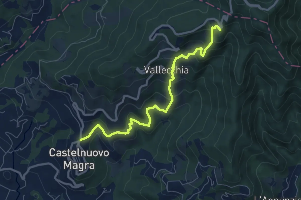
Medium · Trail
Castelnuovo Magra – Case Bertella
7.3 km · ↑ 567 m · 2 h 57 min · 7 km away
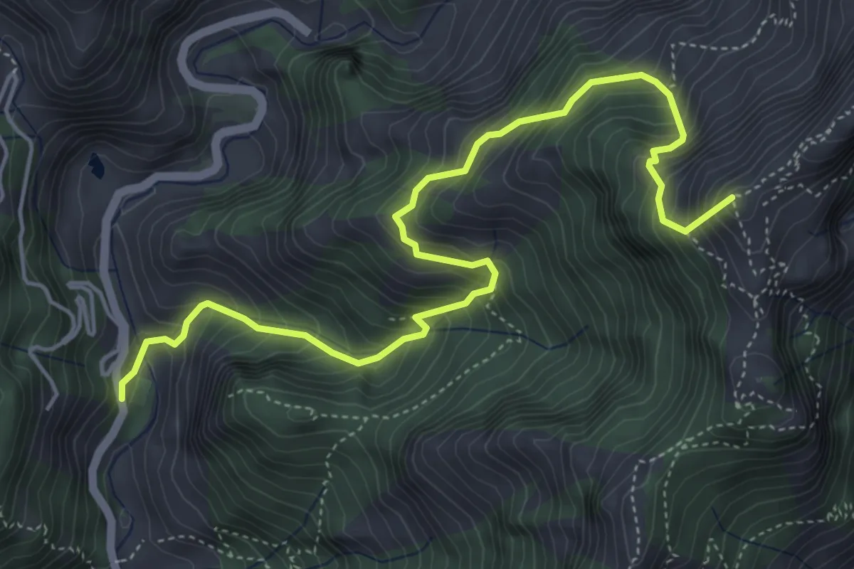
Medium · Summit
Resceto – Forno
6.0 km · ↑ 747 m · 3 h 2 min · 7 km away
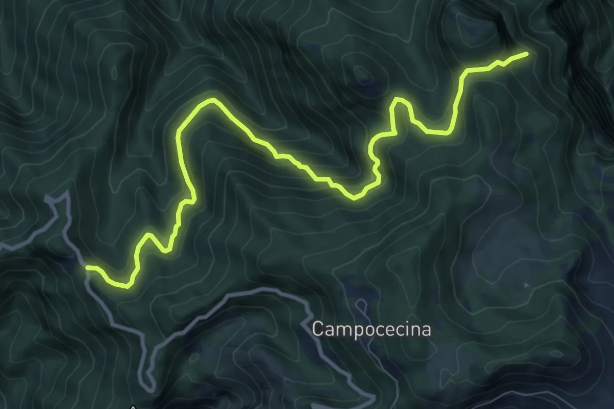
Demanding · Trail
Gabellaccia – Case Respettolo
11.0 km · ↑ 839 m · 4 h 24 min · 7 km away
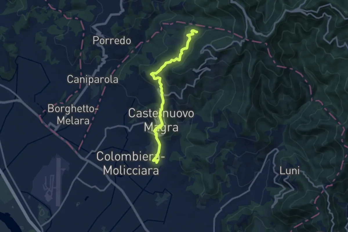
Medium · Trail
M.no del Piano - Castelnuovo Magra - Casala
9.1 km · ↑ 572 m · 3 h 23 min · 7 km away
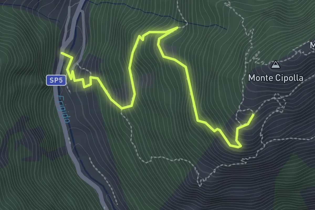
Medium · Trail
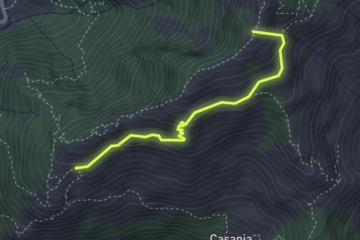
Forno - Pian dei Santi
3.6 km · ↑ 382 m · 1 h 41 min · 7 km away
Demanding · Summit
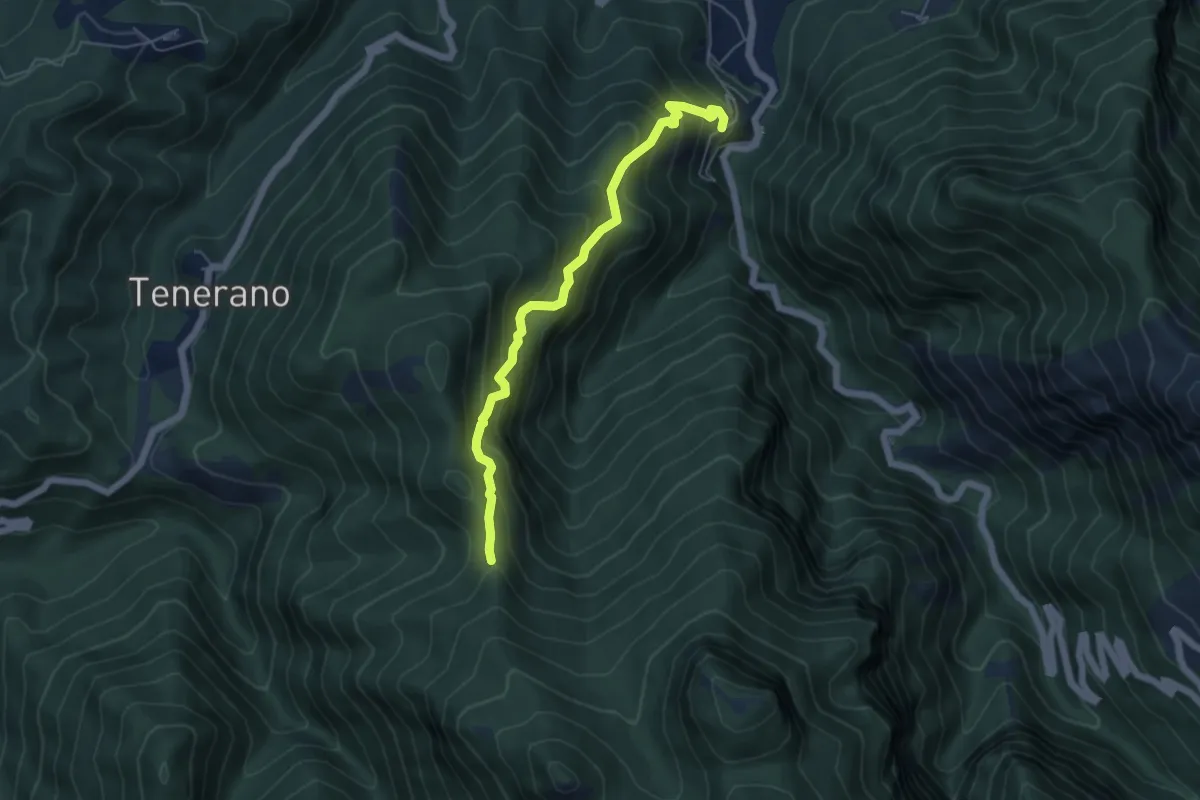
Pian dei Santi – Percorso 161
3.4 km · ↑ 356 m · 1 h 35 min · 7 km away
Medium · Trail
Monzone Alto – Foce Sant'Antonio
5.5 km · ↑ 635 m · 2 h 40 min · 7 km away
Demanding · Trail
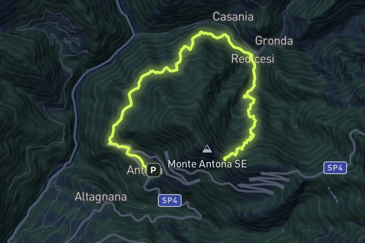
Anello di Redicesi
12.7 km · ↑ 1530 m · 6 h 19 min · 7 km away
Demanding · Trail
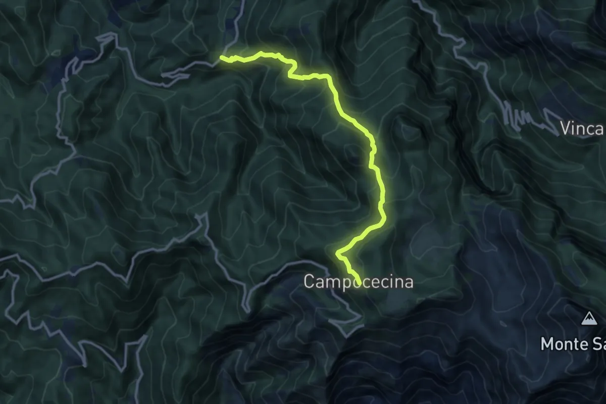
Tenerano – Rifugio Carrara
10.7 km · ↑ 936 m · 4 h 33 min · 7 km away
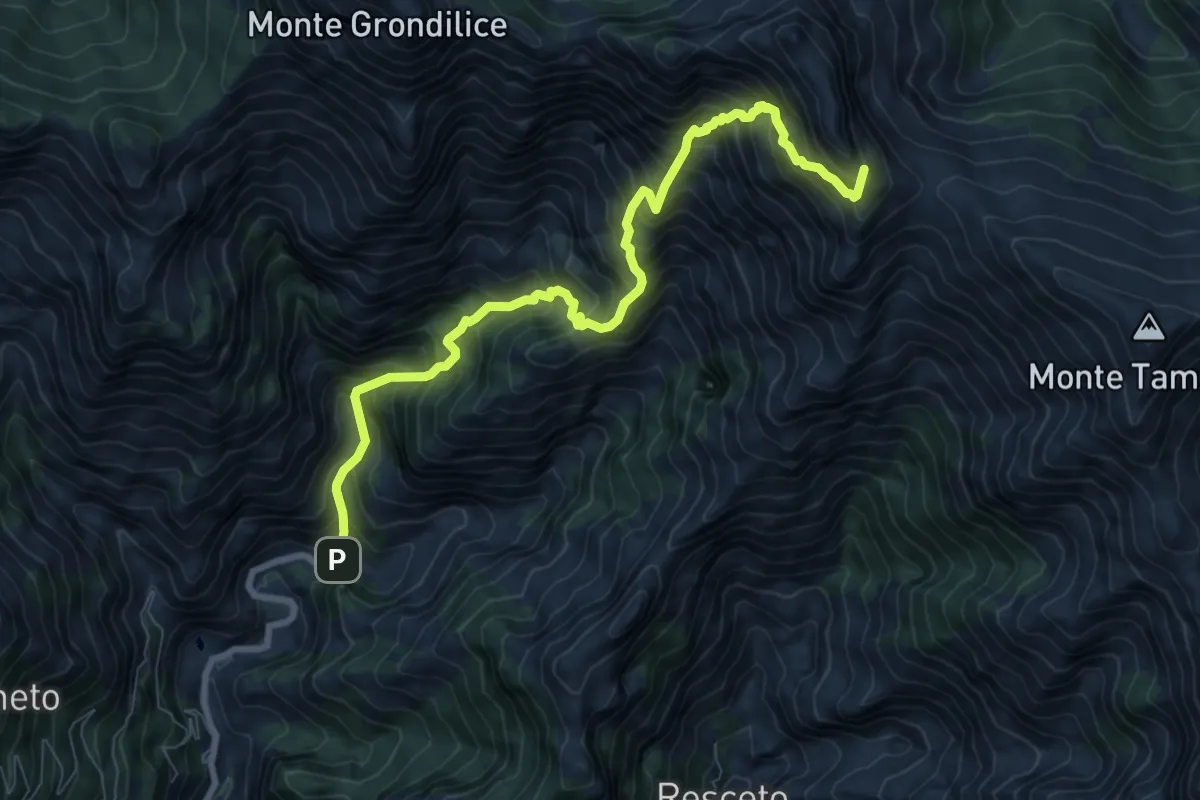
Demanding · Summit
Biforco – Passo della Focolaccia
9.3 km · ↑ 1427 m · 5 h 17 min · 8 km away
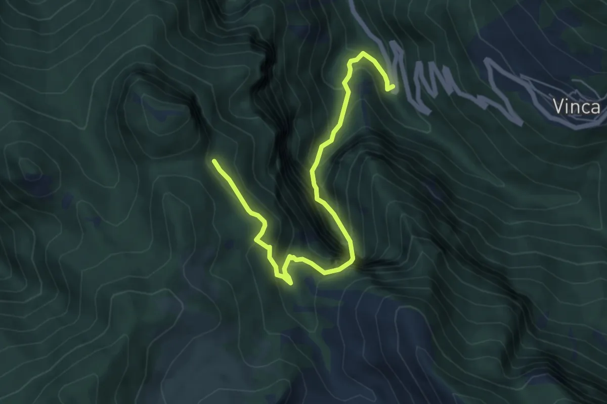
Demanding · Trail
Vinca – Innesto percorso 183
6.1 km · ↑ 880 m · 3 h 21 min · 8 km away
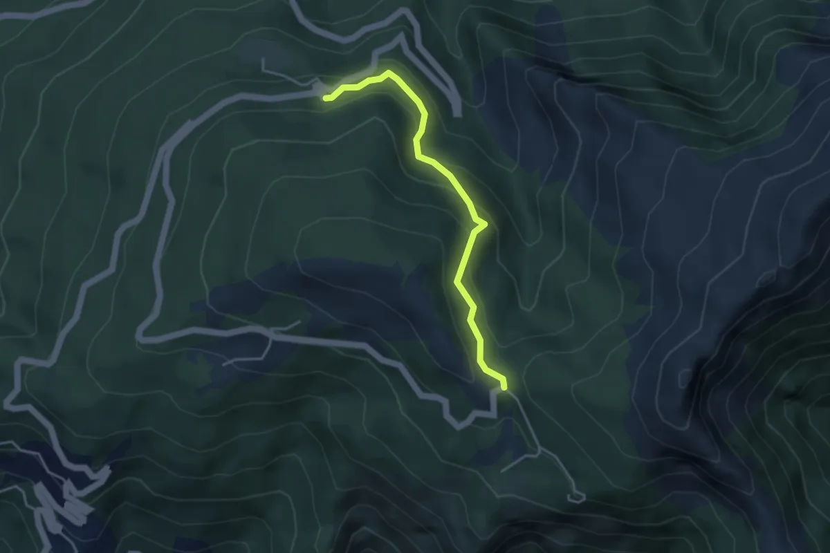
Easy · Trail
Via delle Fonti 5 - Vicinale della Fontana Morosa
3.6 km · ↑ 230 m · 1 h 21 min · 8 km away
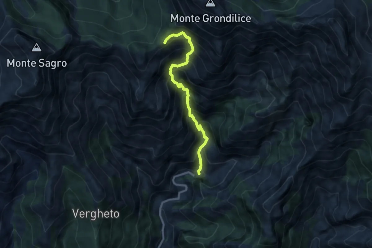
Demanding · Trail
Biforco – Foce Rasori
6.5 km · ↑ 1081 m · 3 h 53 min · 8 km away
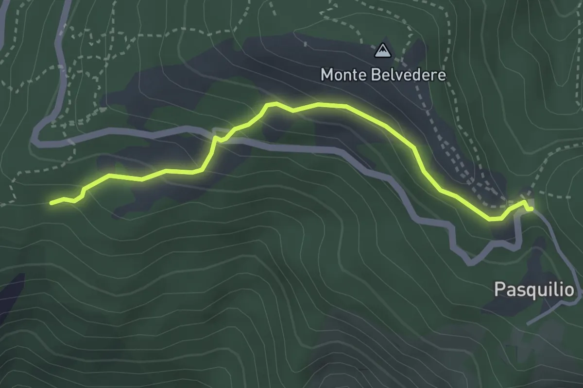
Easy · Trail
Via delle Fonti 10 - Comunale da Massa al Pasquilio
3.4 km · ↑ 183 m · 1 h 12 min · 8 km away
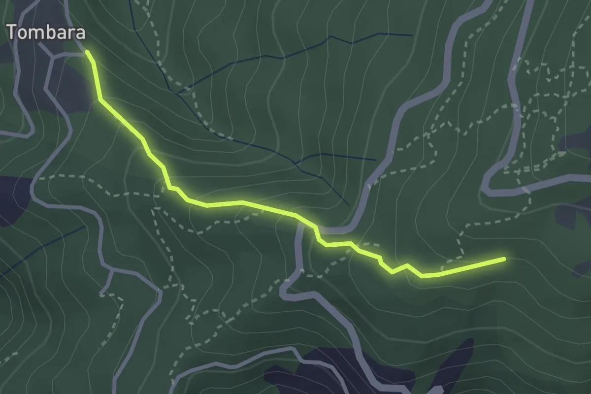
Easy · Trail
Via delle Fonti 9 - Vicinale del Marciadrino
2.8 km · ↑ 240 m · 1 h 10 min · 8 km away
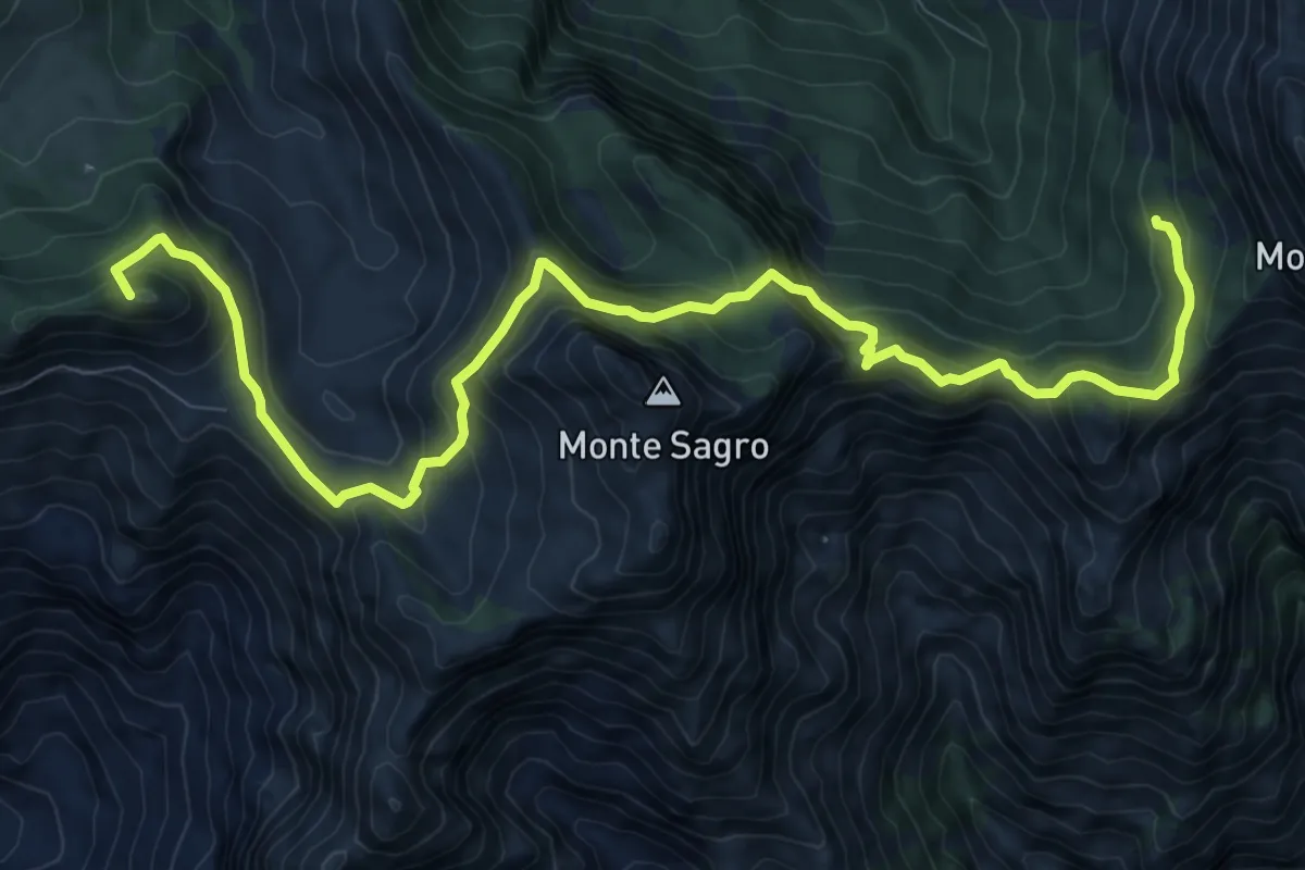
Demanding · Summit
Rifugio Carrara – Capanna Garnerone
12.4 km · ↑ 912 m · 4 h 54 min · 8 km away
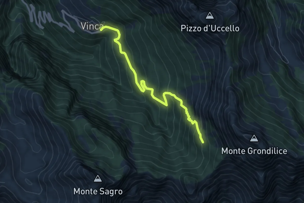
Demanding · Cabin
Vinca – Capanna Garnerone
7.6 km · ↑ 582 m · 3 h 3 min · 8 km away
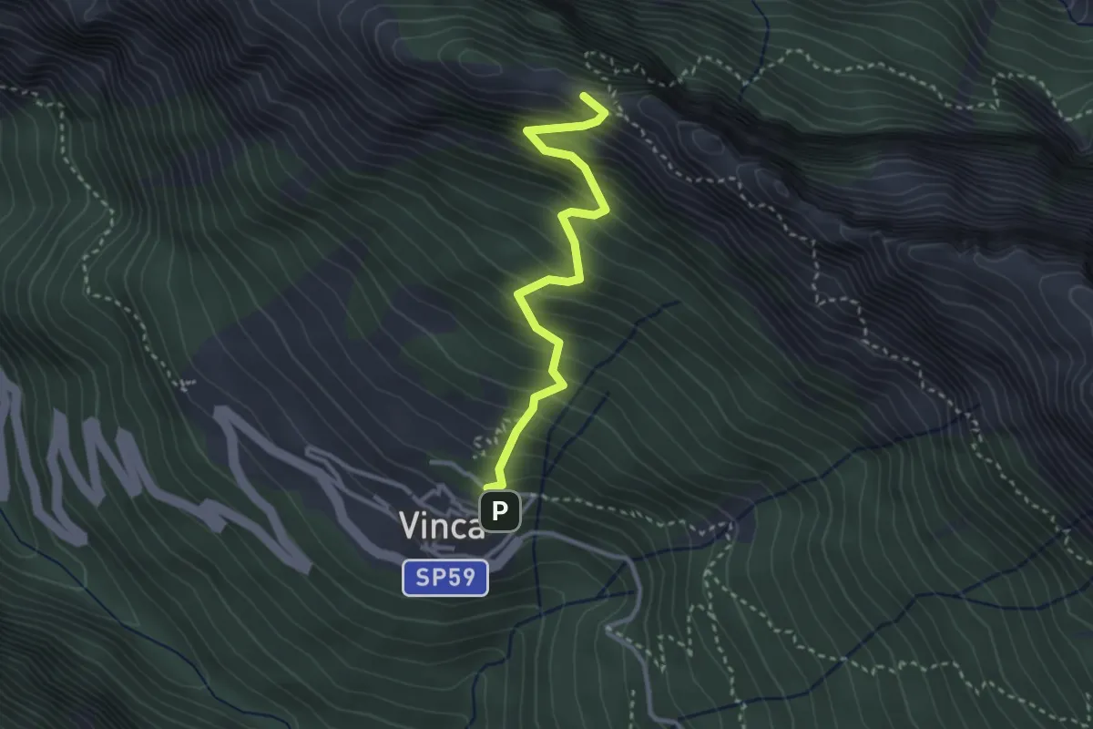
Demanding · Summit
Vinca – Cave del Cantonaccio
3.1 km · ↑ 451 m · 1 h 43 min · 8 km away
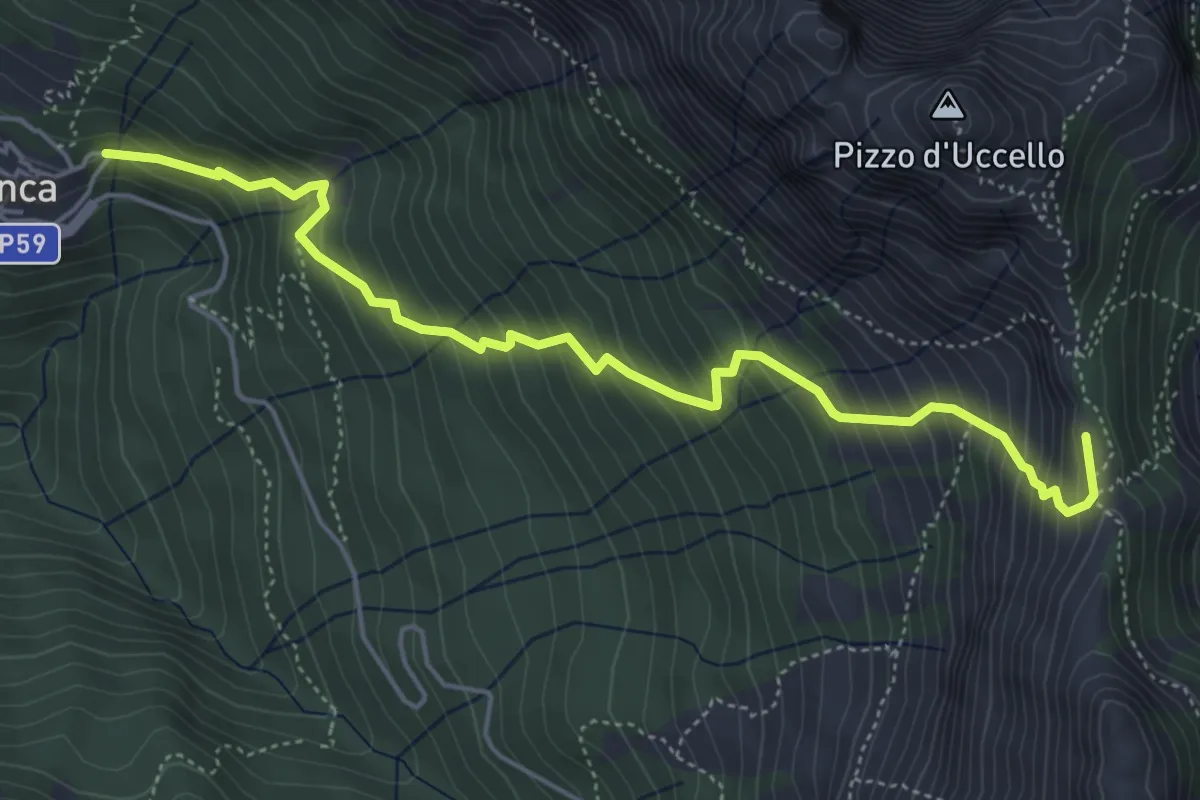
Medium · Summit
Vinca – Foce di Giovo
5.7 km · ↑ 712 m · 2 h 54 min · 8 km away
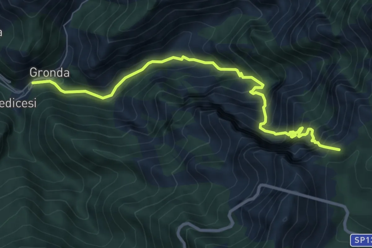
Demanding · Summit
Renara – Le Gobbie
7.4 km · ↑ 924 m · 3 h 45 min · 8 km away
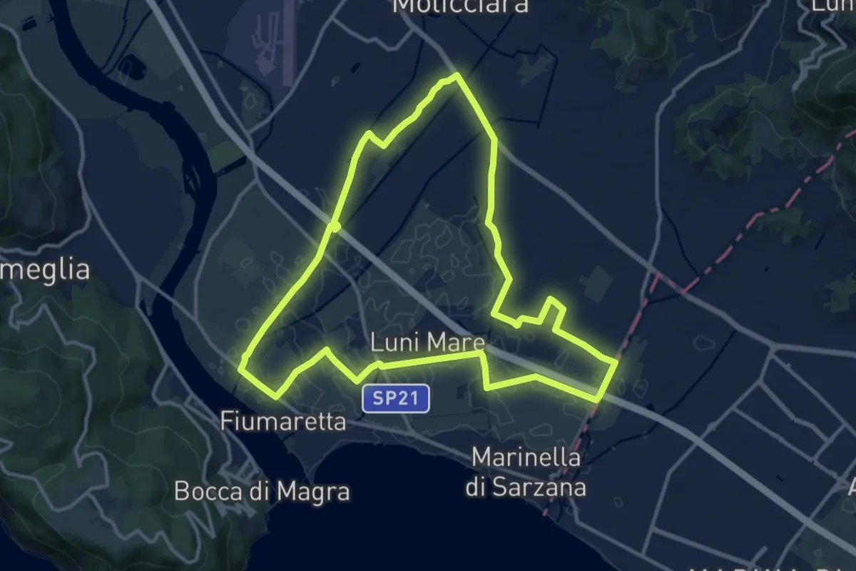
Medium · Trail
Sentiero Liguria - Tappa 0
12.9 km · ↑ 9 m · 3 h 15 min · 8 km away
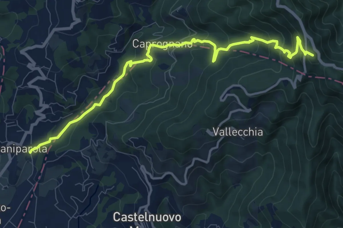
Medium · Summit
Caniparola – Strada Provinciale 51 - SP73
11.0 km · ↑ 629 m · 3 h 57 min · 8 km away
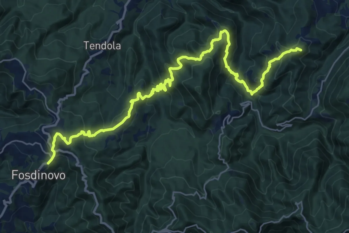
Demanding · Summit
Trekking Lunigiana 12
24.6 km · ↑ 1378 m · 8 h 48 min · 9 km away
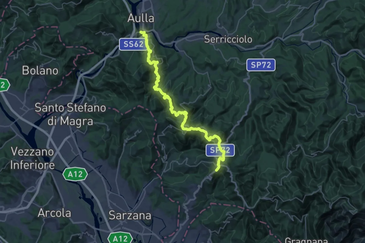
Demanding · Trail
Trekking Lunigiana 13
15.3 km · ↑ 597 m · 5 h 19 min · 9 km away
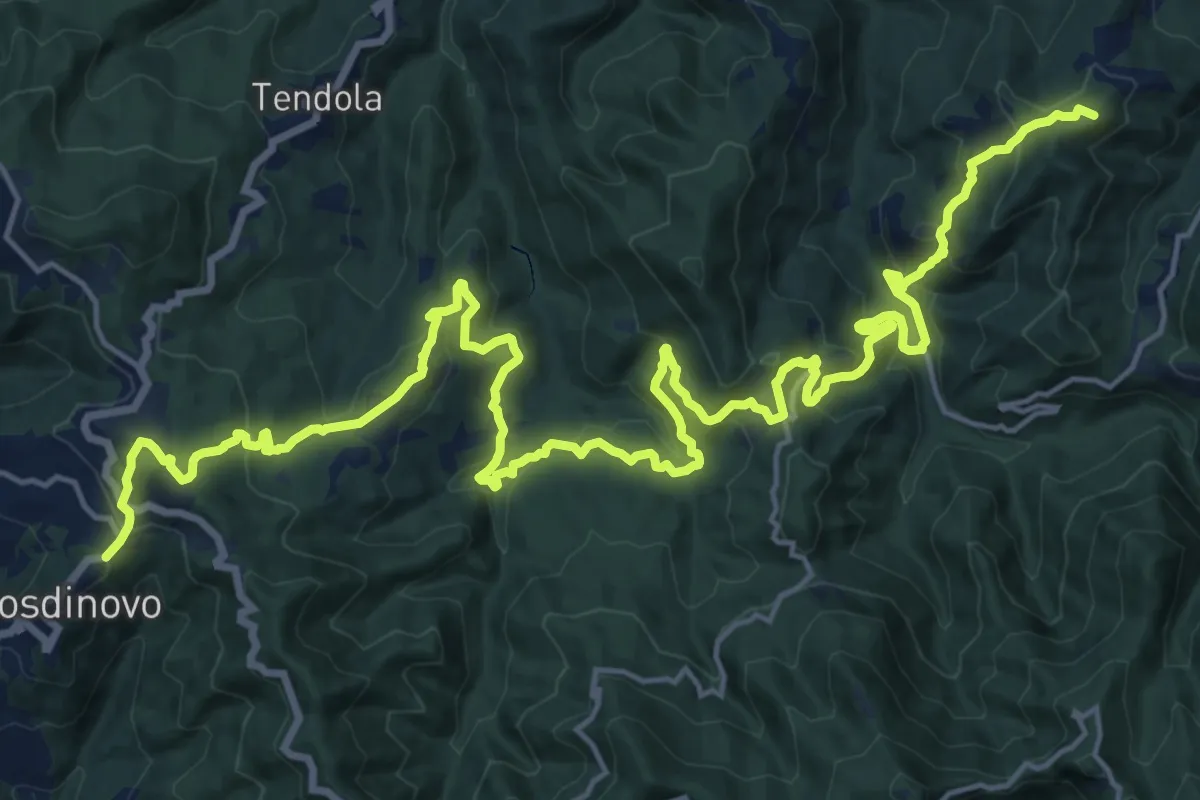
Demanding · Summit
Sentiero dei Ducati Tappa 11
28.7 km · ↑ 1420 m · 9 h 51 min · 9 km away
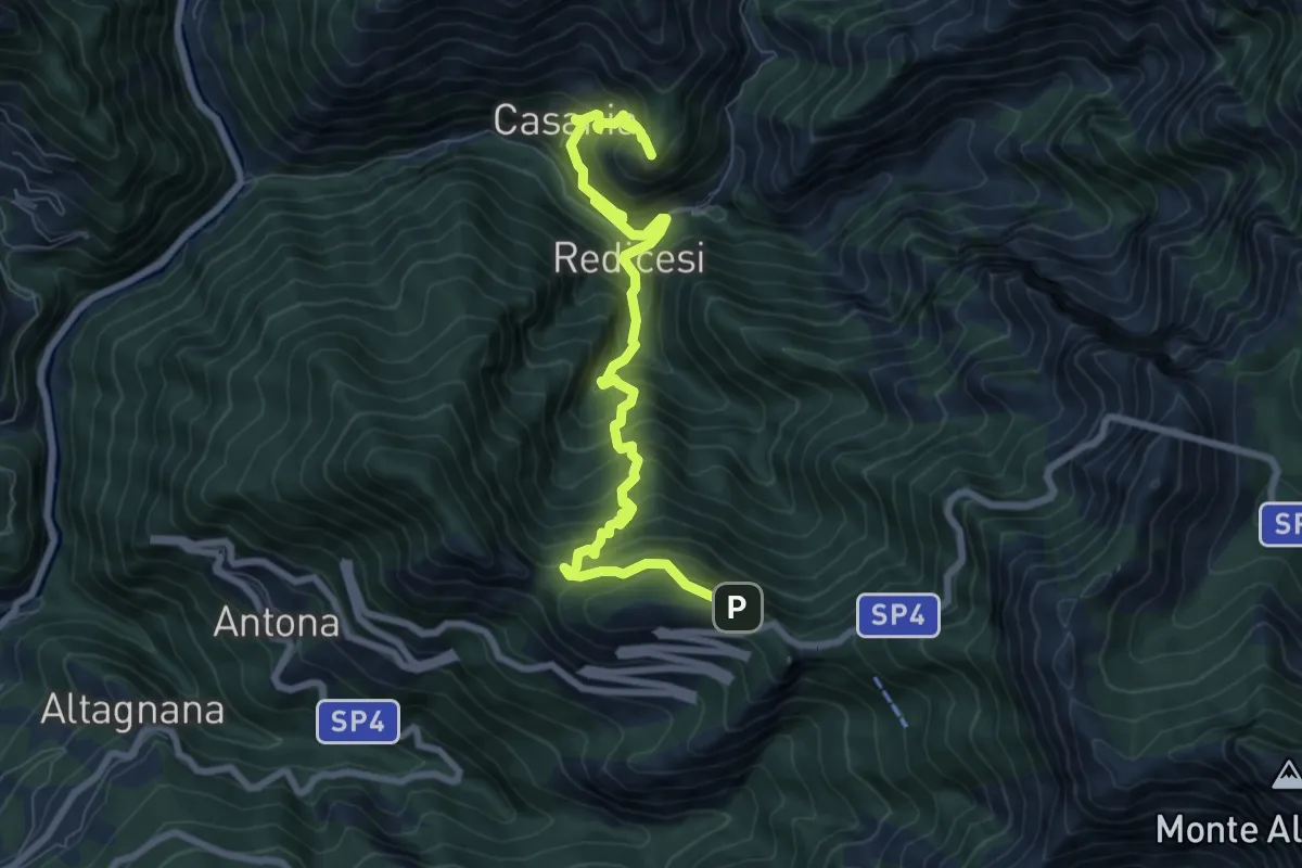
Demanding · Summit
Cammino del Frigido - Tappa 3
9.3 km · ↑ 970 m · 4 h 18 min · 9 km away
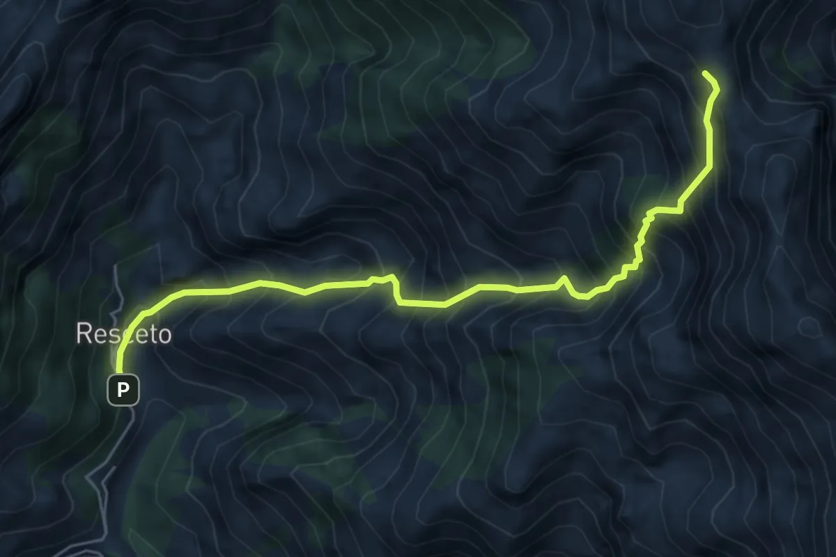
Demanding · Trail
Resceto – Foce dell Acqua Fredda
6.1 km · ↑ 1208 m · 4 h 4 min · 9 km away
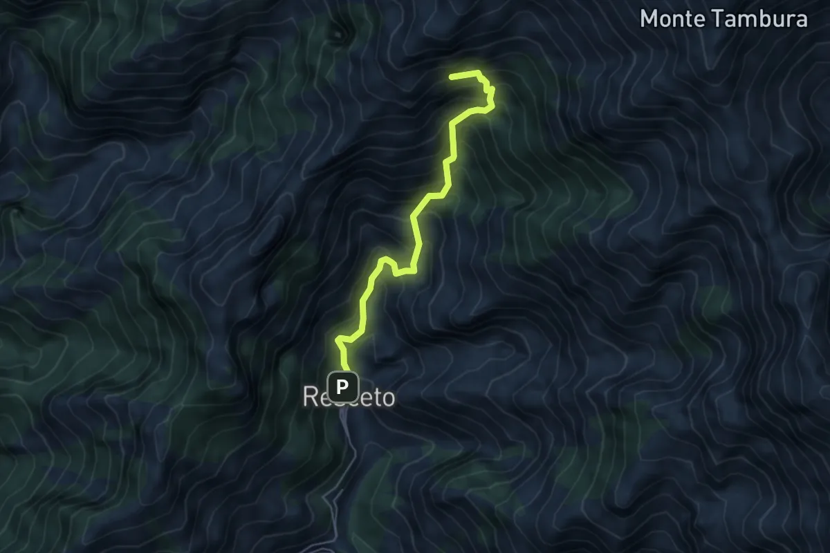
Demanding · Summit
Resceto – Sentiero CAI 162 ex 36
4.8 km · ↑ 701 m · 2 h 40 min · 9 km away
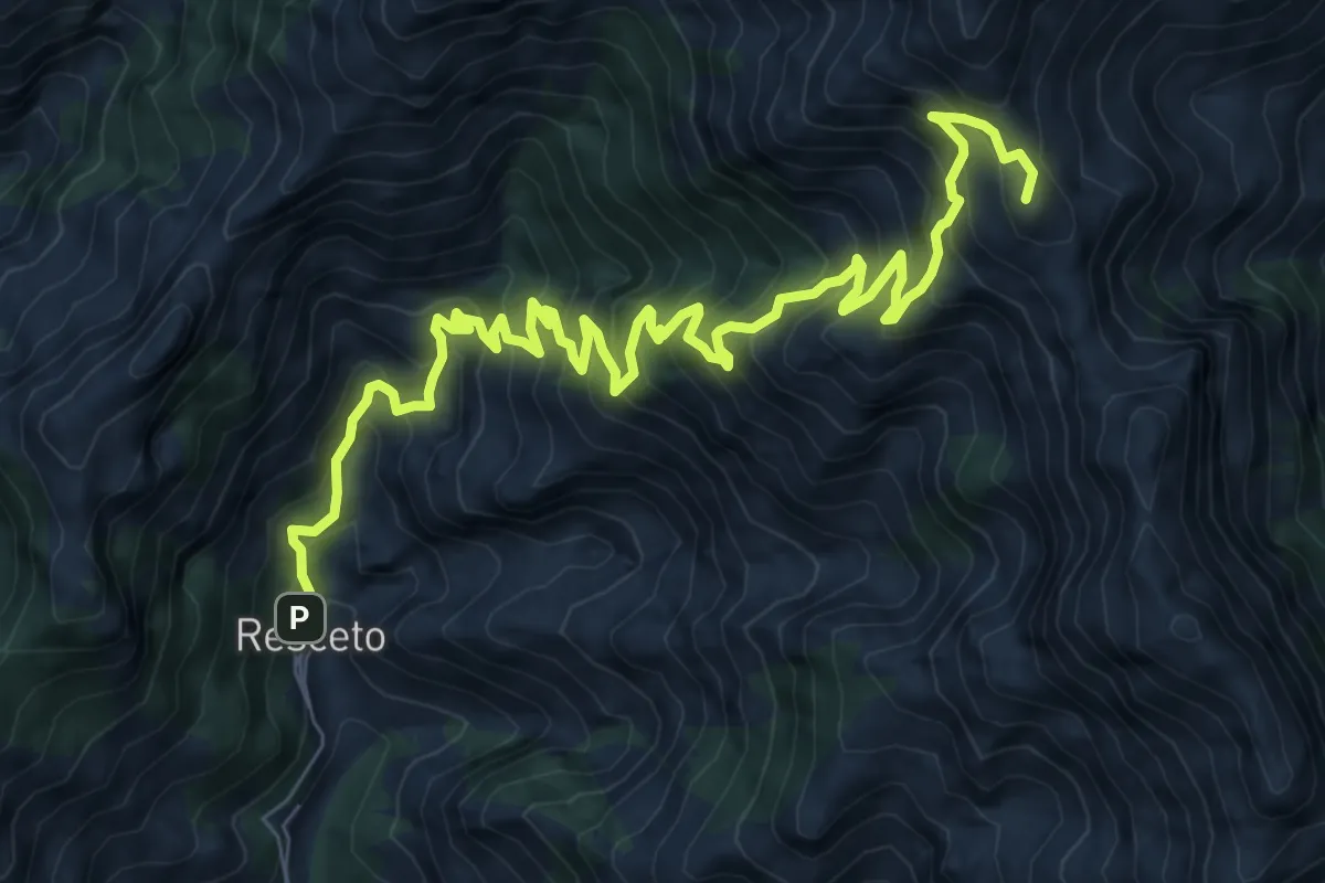
Demanding · Summit
Via Vandelli
11.2 km · ↑ 1340 m · 5 h 33 min · 9 km away
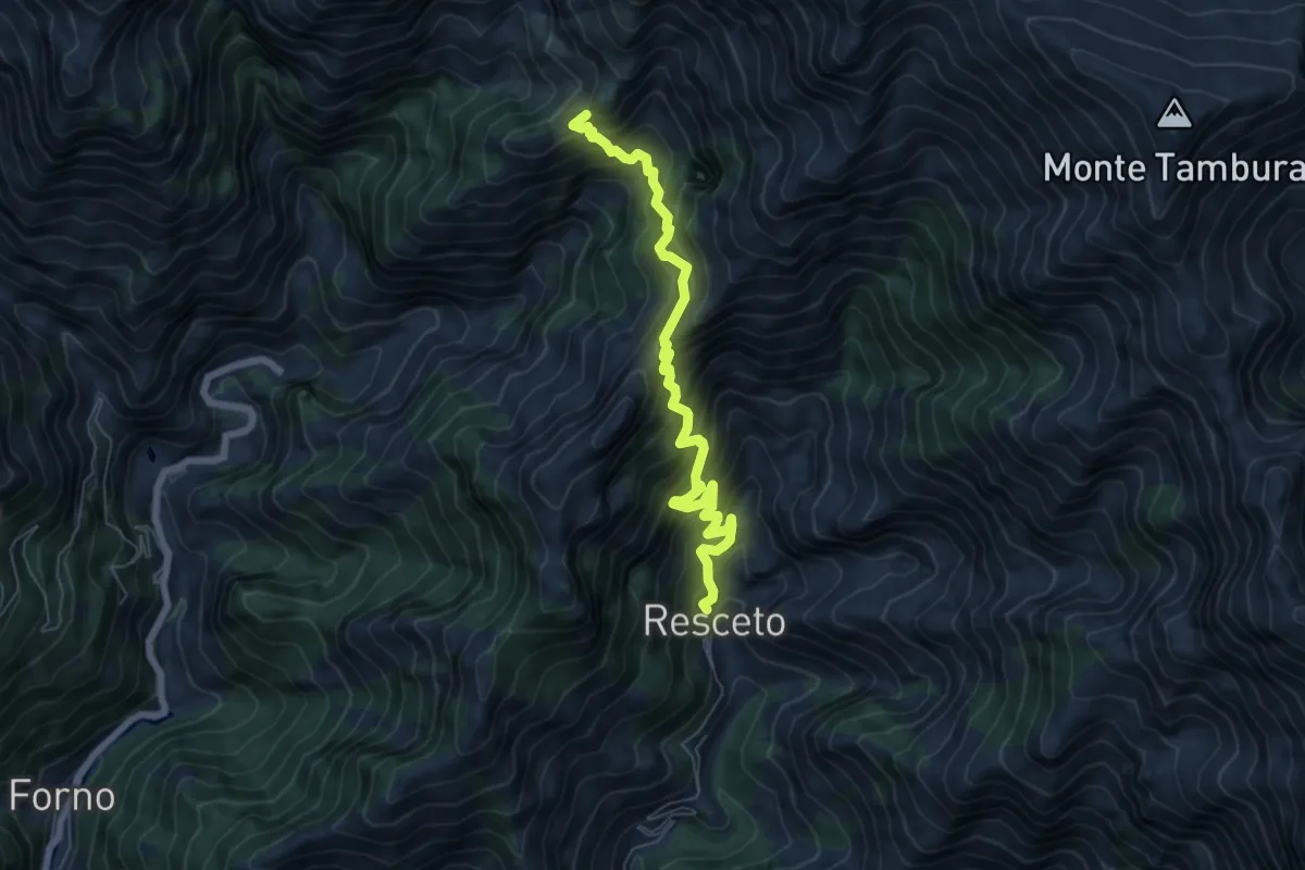
Demanding · Trail
Resceto – Case Carpano
6.9 km · ↑ 851 m · 3 h 29 min · 9 km away
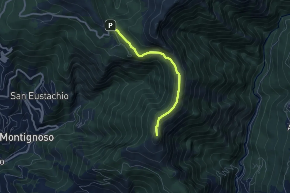
Medium · Summit
Via delle Fonti 4 - Comunale di Col di Melo
5.2 km · ↑ 175 m · 1 h 36 min · 9 km away
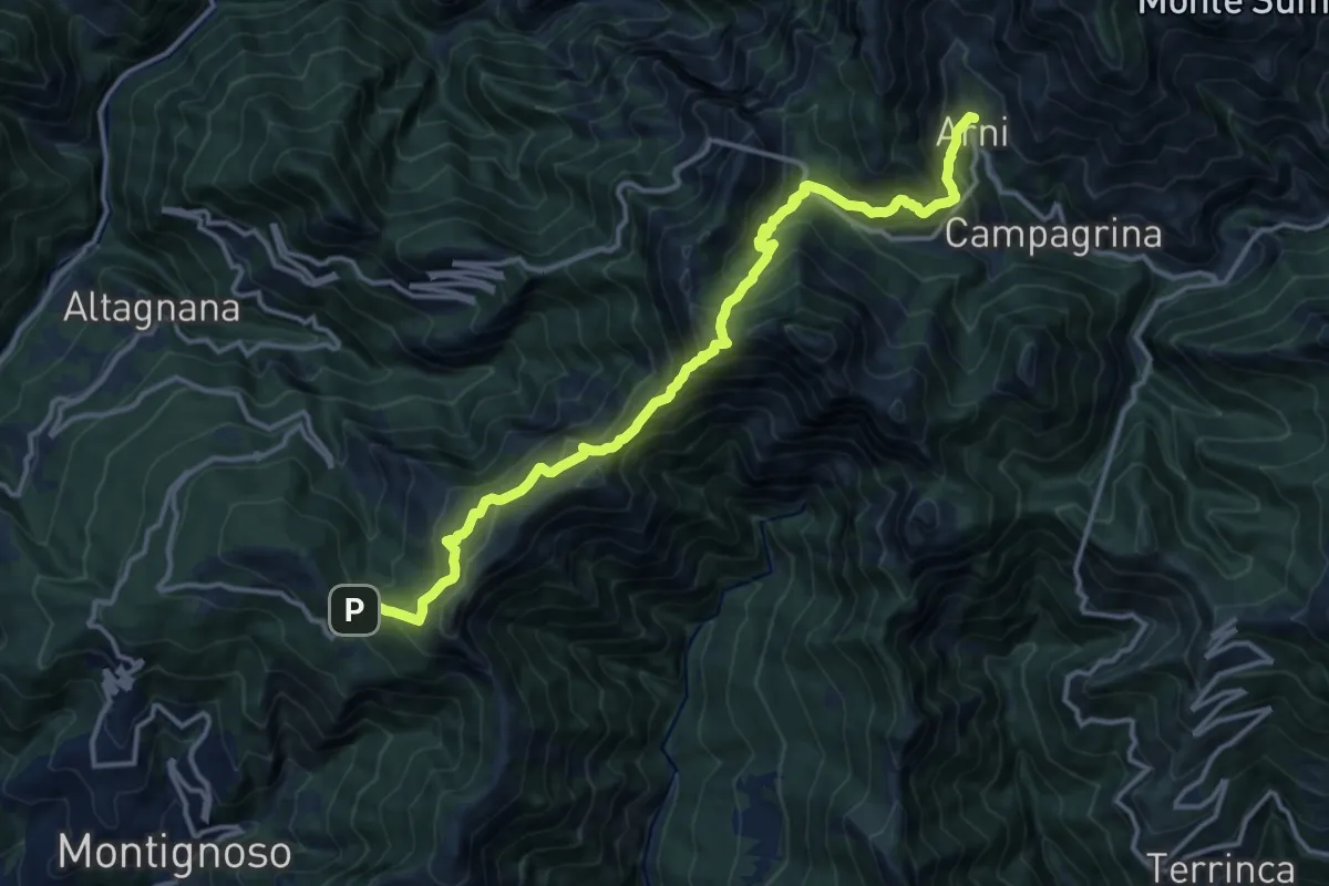
Demanding · Trail
Pasquilio – Arni
15.3 km · ↑ 1323 m · 6 h 29 min · 9 km away
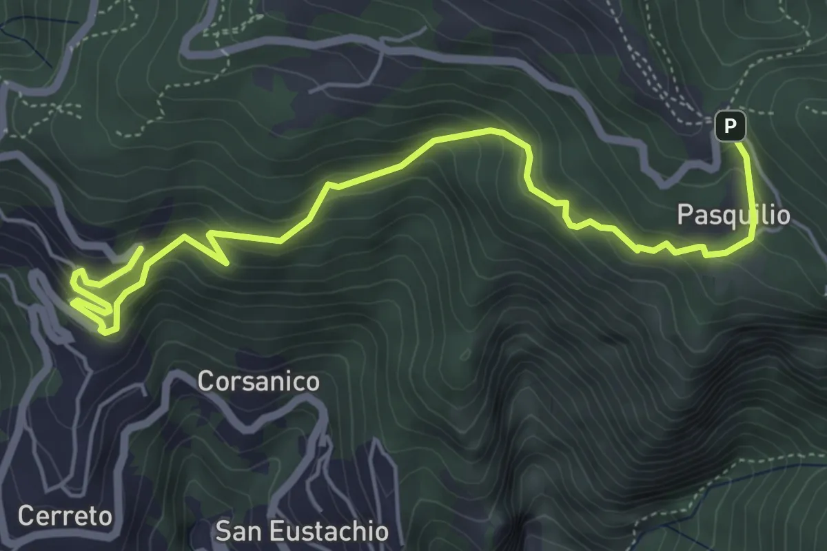
Medium · Trail
Via delle Fonti 12 - Vicinale della Pianaccia
6.6 km · ↑ 485 m · 2 h 36 min · 9 km away
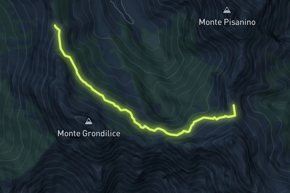
Medium · Summit
Foce di Giovo – Passo della Focolaccia
6.7 km · ↑ 494 m · 2 h 39 min · 9 km away
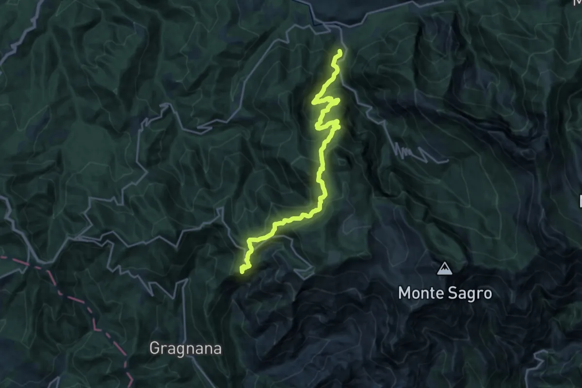
Demanding · Summit
Torano – Monzone
18.3 km · ↑ 1504 m · 7 h 34 min · 9 km away
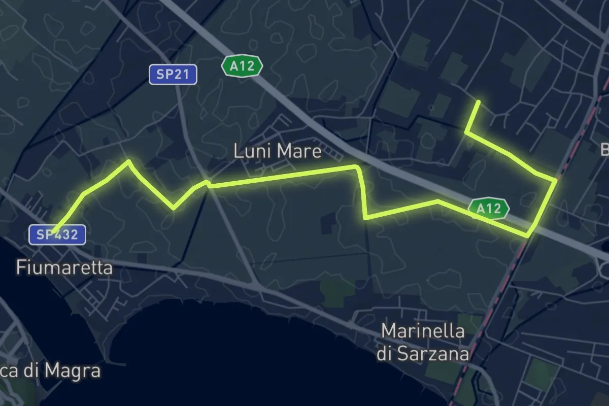
Medium · Trail
Fiumaretta – Anfiteatro Di Luni
10.2 km · ↑ 0 m · 2 h 25 min · 9 km away
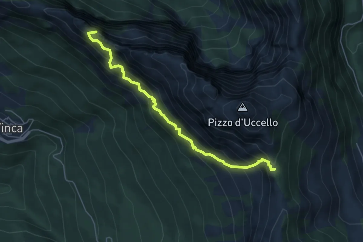
Expert · Summit
Sentiero attrezzato Mario Piotti
4.8 km · ↑ 705 m · 2 h 40 min · 9 km away