Trails near Carrara
188 hikes starting within 15 km, nearest first.
Nearest first, page 3 of 4
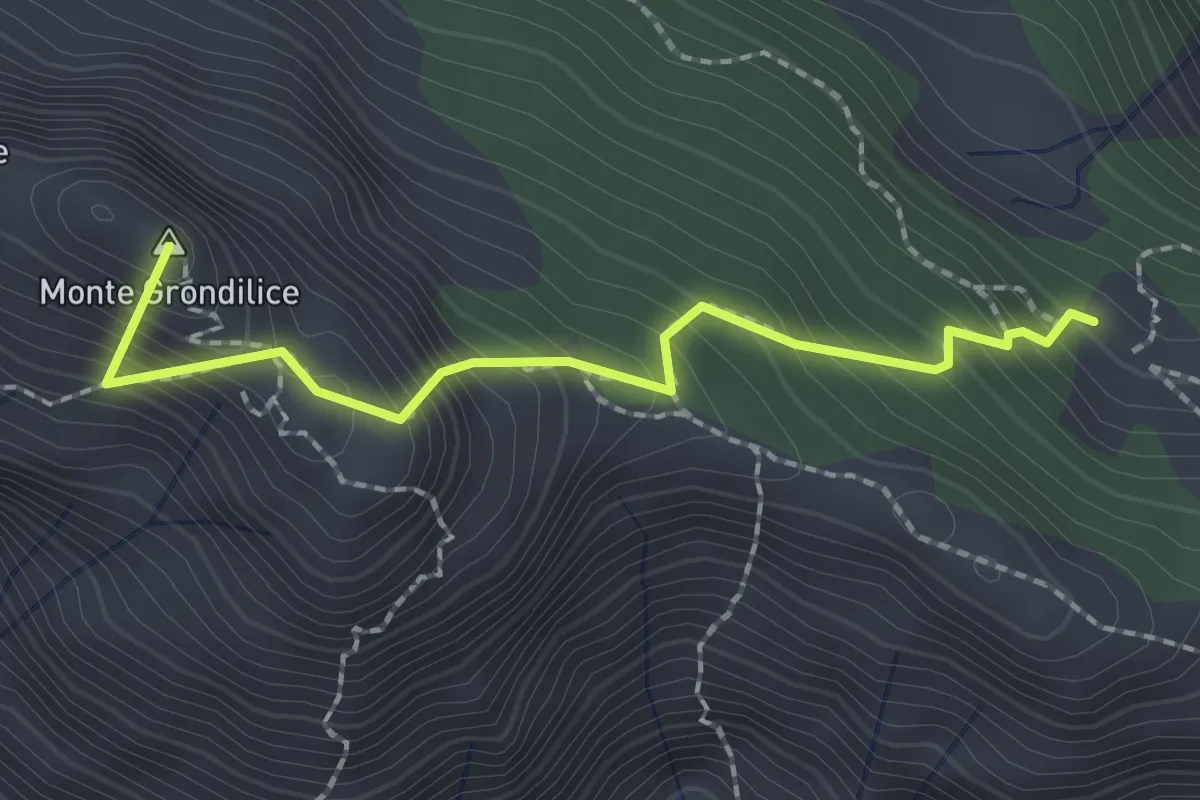
Demanding · Summit
Foce di Rasori – Orto di Donna
2.1 km · ↑ 266 m · 1 h 4 min · 9 km away
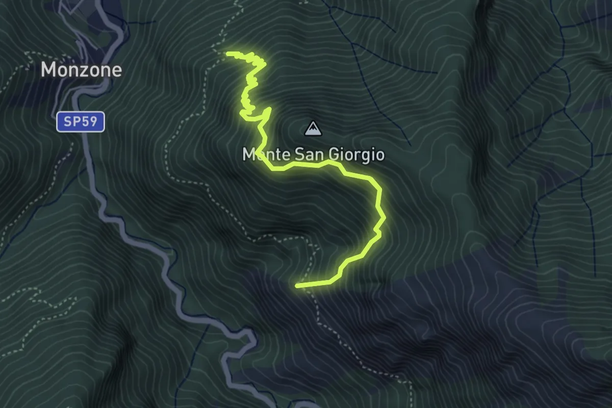
Demanding · Trail
Percorso 139 (Castellaccio) – Percorso 139
6.5 km · ↑ 1009 m · 3 h 44 min · 9 km away
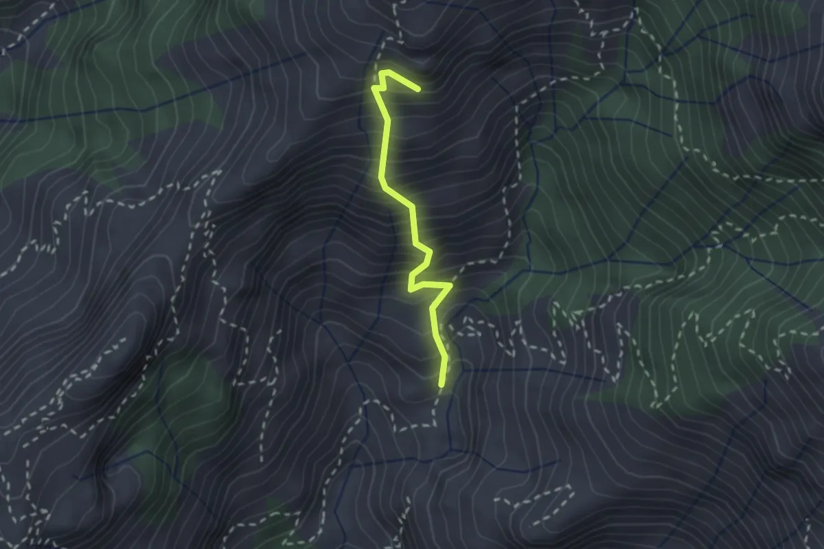
Medium · Summit
Lizza del Padulello
2.0 km · ↑ 490 m · 1 h 32 min · 10 km away
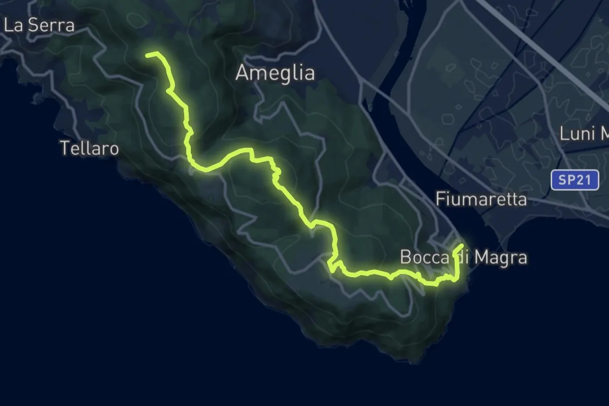
Medium · Summit
Alta Via del Golfo: Bocca di Magra - Il Termo
13.9 km · ↑ 762 m · 4 h 56 min · 10 km away
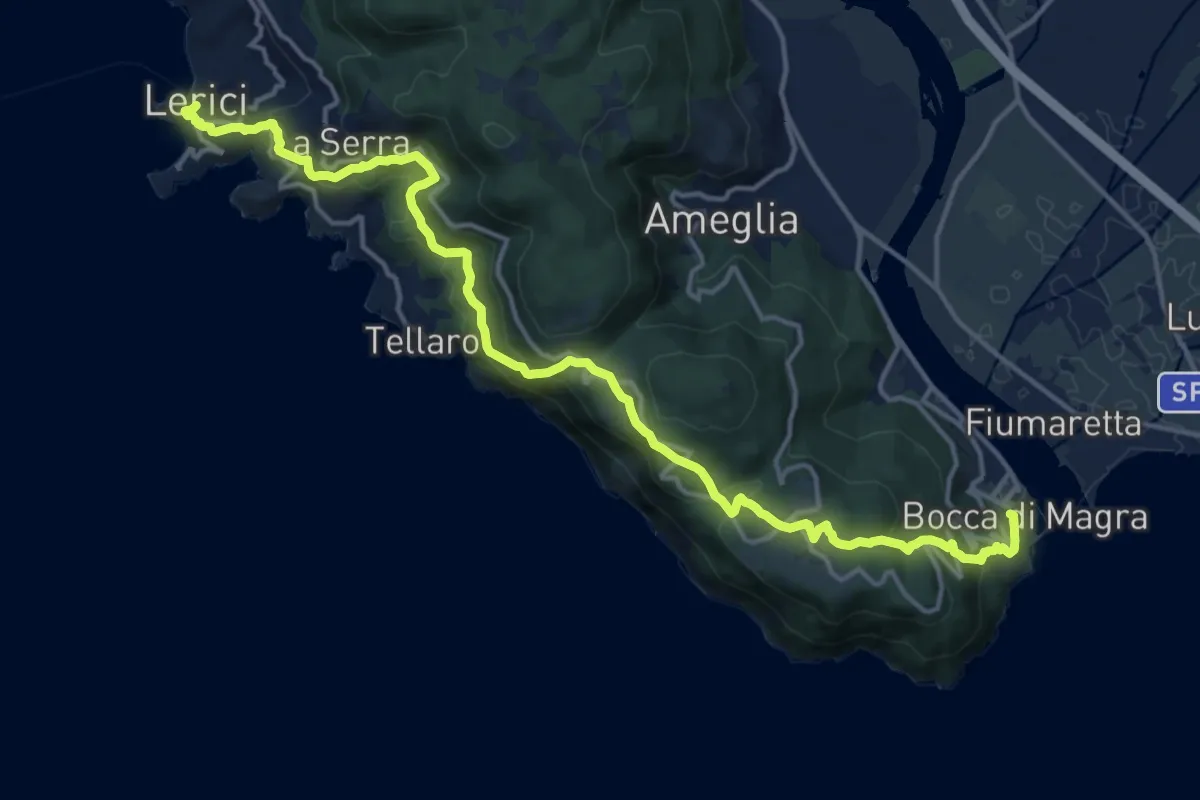
Demanding · Trail
Bocca di Magra – Lerici
18.9 km · ↑ 924 m · 6 h 28 min · 10 km away
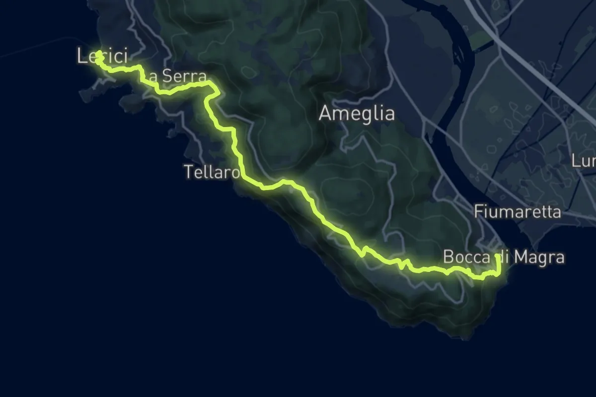
Demanding · Trail
Sentiero Liguria - Tappa 1
19.1 km · ↑ 933 m · 6 h 33 min · 10 km away
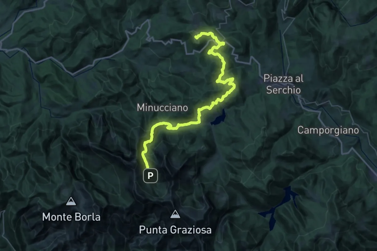
Demanding · Summit
Garfagnana Trekking - Tappa 5
39.5 km · ↑ 1668 m · 12 h 57 min · 10 km away
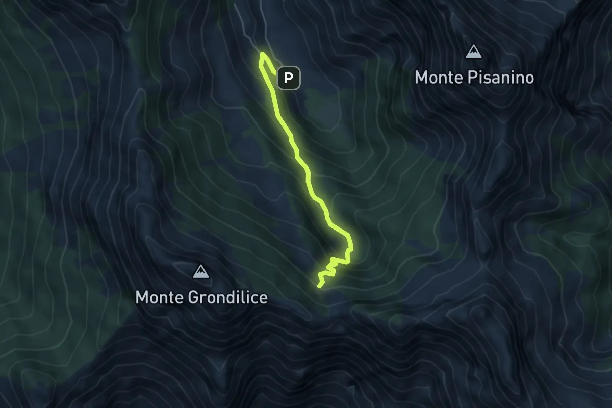
Medium · Cabin
Val Seranaia – Orto di Donna
4.4 km · ↑ 436 m · 1 h 59 min · 10 km away
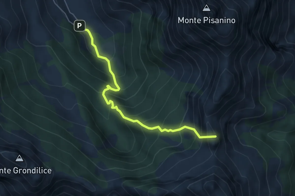
Demanding · Summit
Val Serenaia – Innesto Percorso 179 (Foce di Cardeto)
4.6 km · ↑ 565 m · 2 h 19 min · 10 km away
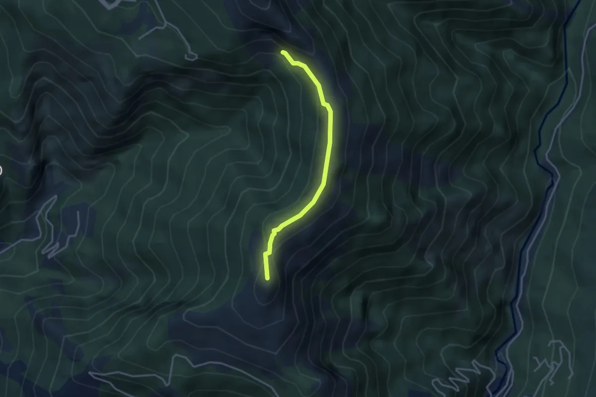
Medium · Summit
El Loco de la Santa – Bivio ravaneto
3.1 km · ↑ 103 m · 57 min · 10 km away
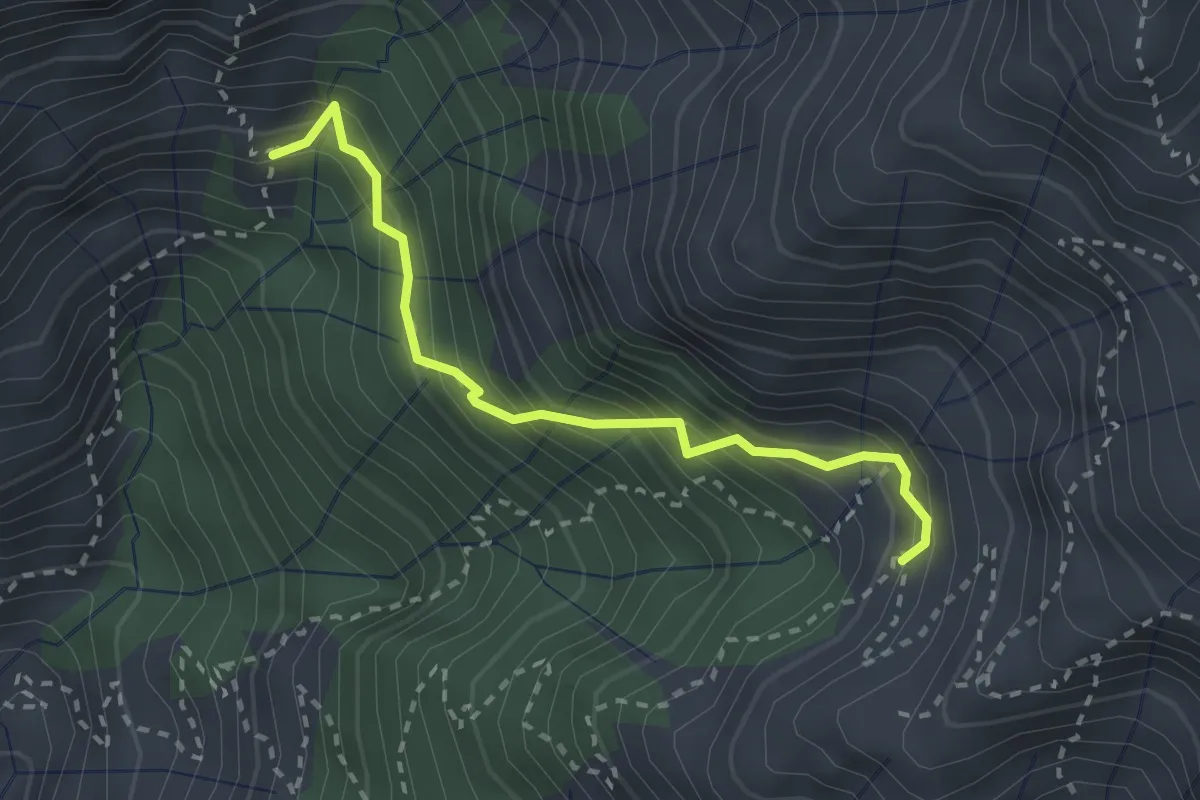
Demanding · Trail
Via Vandelli (Percorso 135) – Quota 1000 Canal Pianone
2.6 km · ↑ 389 m · 1 h 27 min · 10 km away
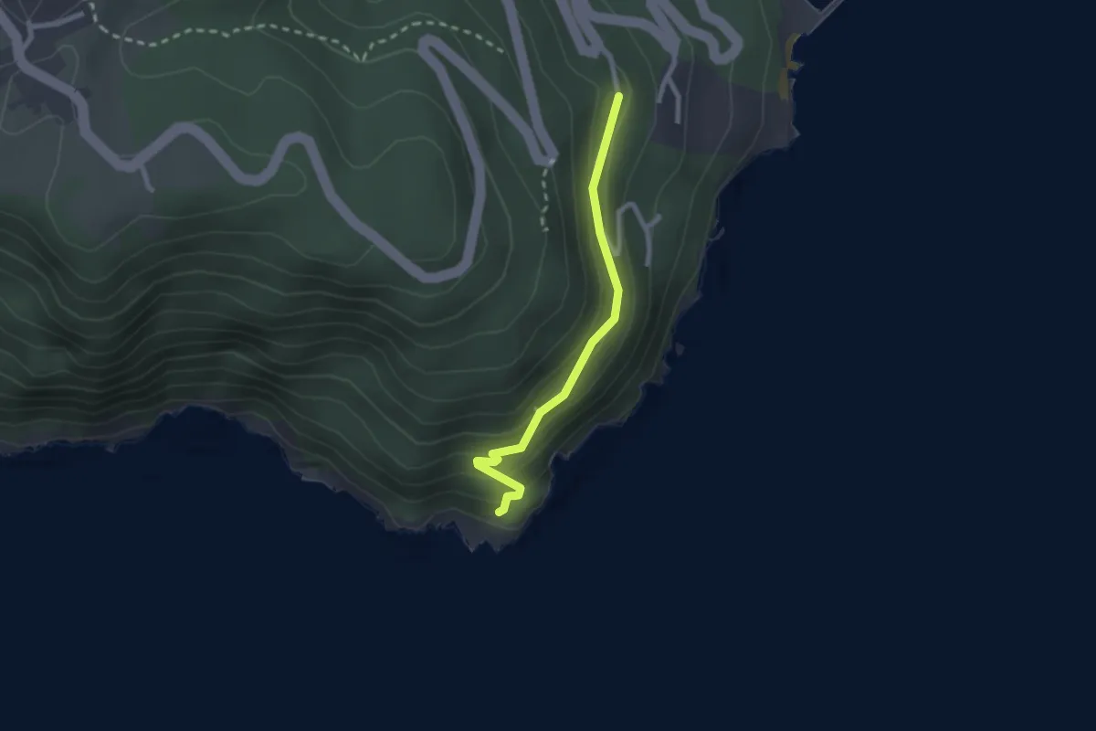
Easy · Trail
Punta Bianca – Carmelitane scalze
2.2 km · ↑ 170 m · 53 min · 10 km away
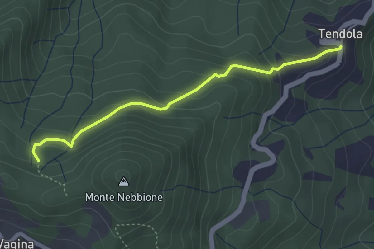
Easy · Trail
paese Tendola – Sentiero CAI 290
3.7 km · ↑ 221 m · 1 h 21 min · 10 km away
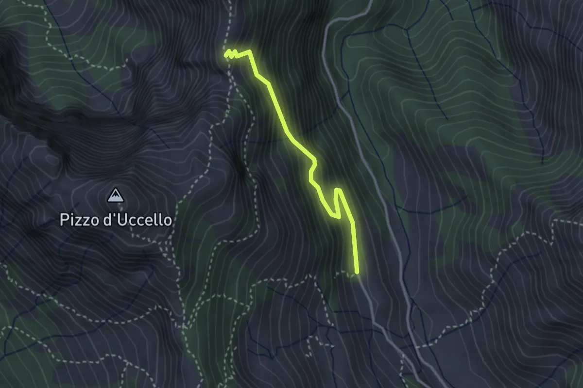
Medium · Cabin
Val Serenaia (Rifugio Donegani) – Foce Siggioli
2.7 km · ↑ 279 m · 1 h 15 min · 10 km away
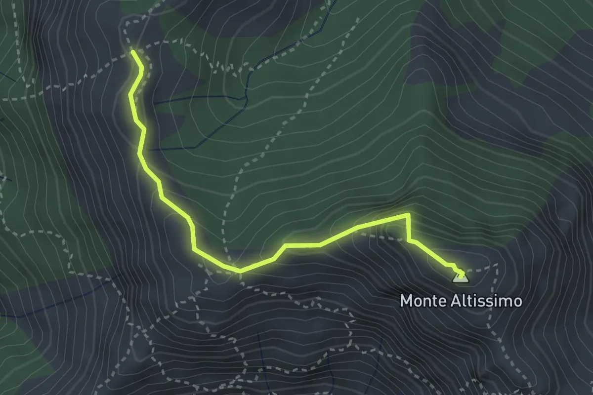
Demanding · Summit
Foce del Frate – Passo del Vaso Tondo
3.1 km · ↑ 290 m · 1 h 22 min · 10 km away
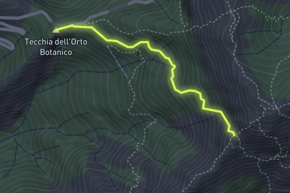
Medium · Summit
Colle della Tecchia – Passo della Greppia
3.3 km · ↑ 414 m · 1 h 40 min · 11 km away
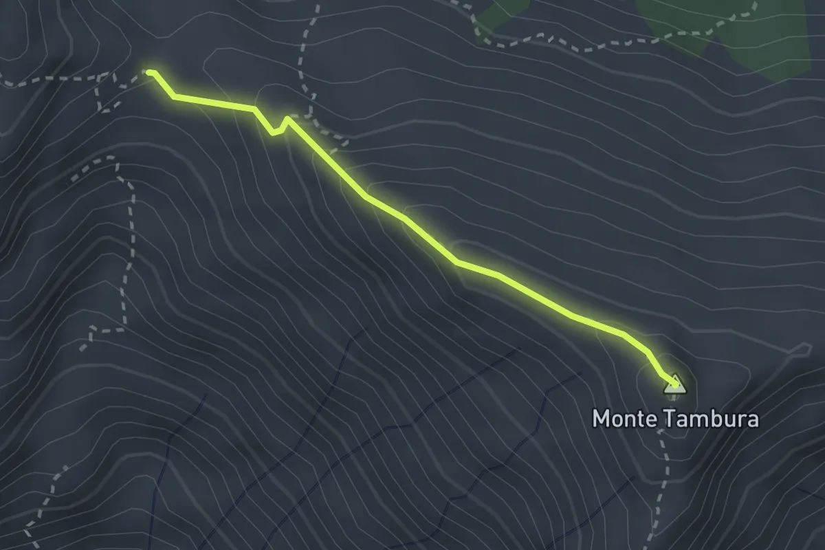
Demanding · Summit
Passo Della Focolaccia – Passo della Tambura
2.4 km · ↑ 186 m · 58 min · 11 km away
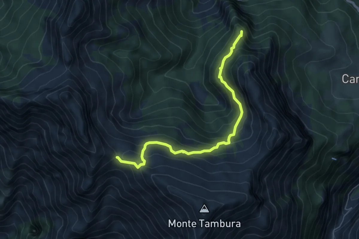
Demanding · Summit
Vagli Sopra – Passo della Focolaccia
6.3 km · ↑ 525 m · 2 h 38 min · 11 km away
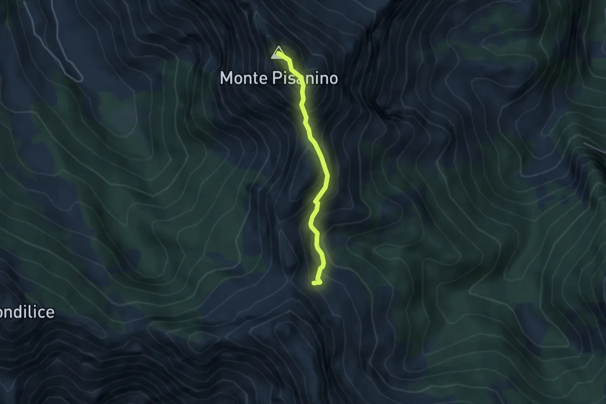
Expert · Summit
Via Normale Monte Pisanino
3.2 km · ↑ 467 m · 1 h 46 min · 11 km away
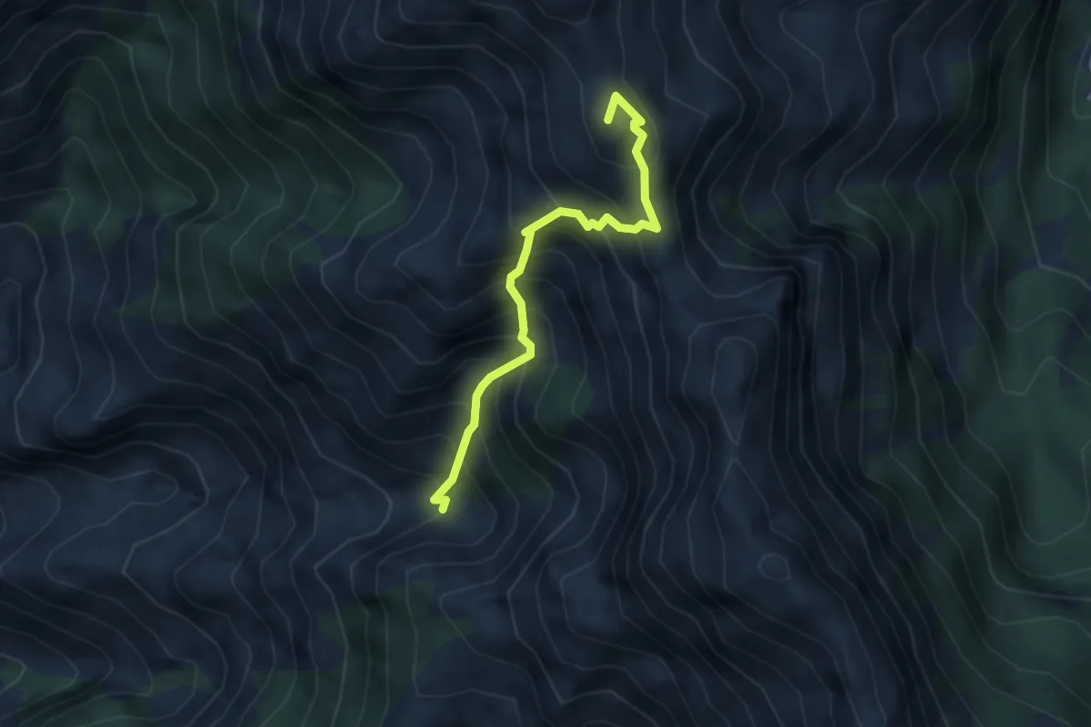
Expert · Summit
Canale della Neve – Passo della Tambura
3.6 km · ↑ 530 m · 1 h 59 min · 11 km away
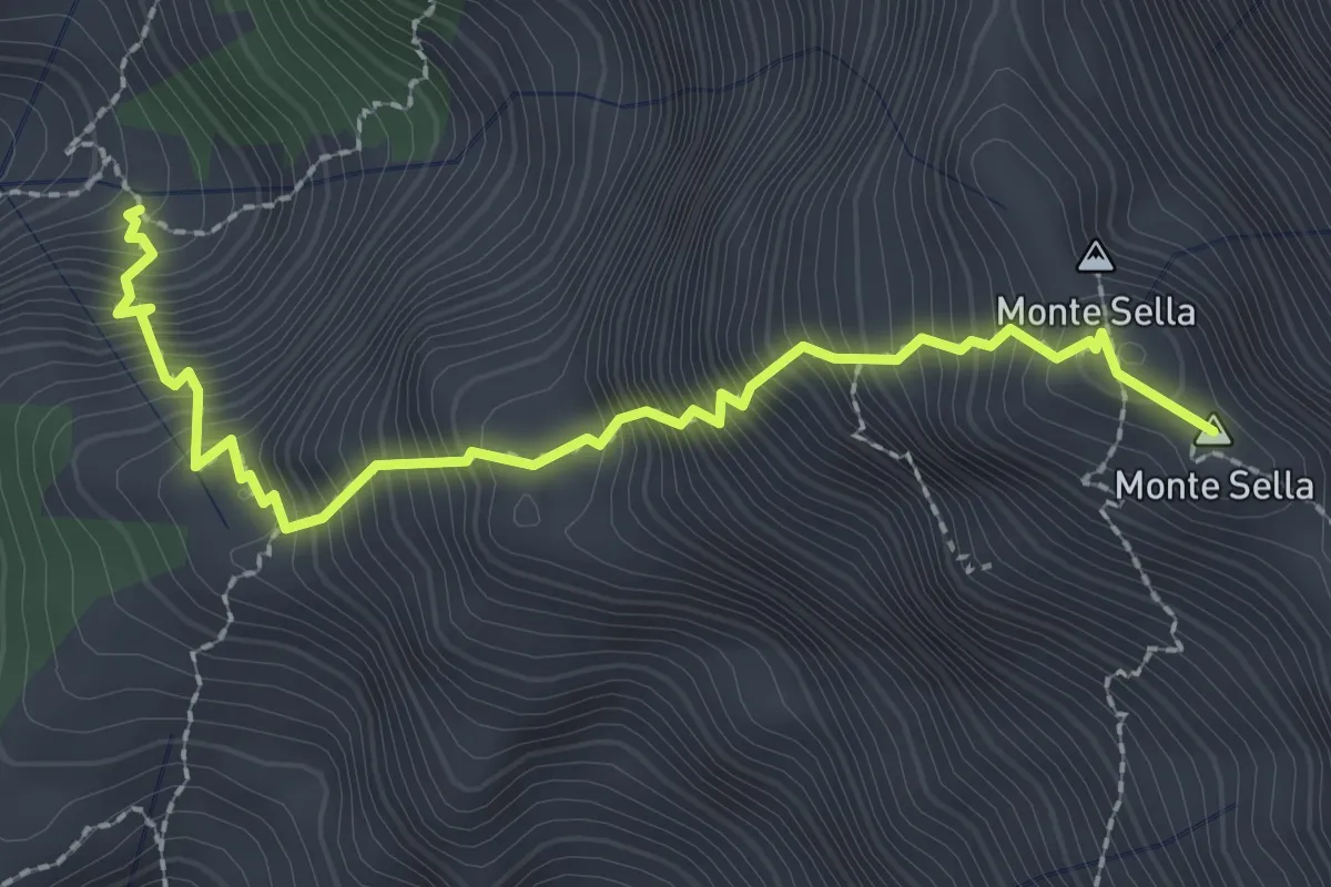
Demanding · Summit
Percorso 165 – Monte Sella
2.8 km · ↑ 558 m · 1 h 52 min · 11 km away
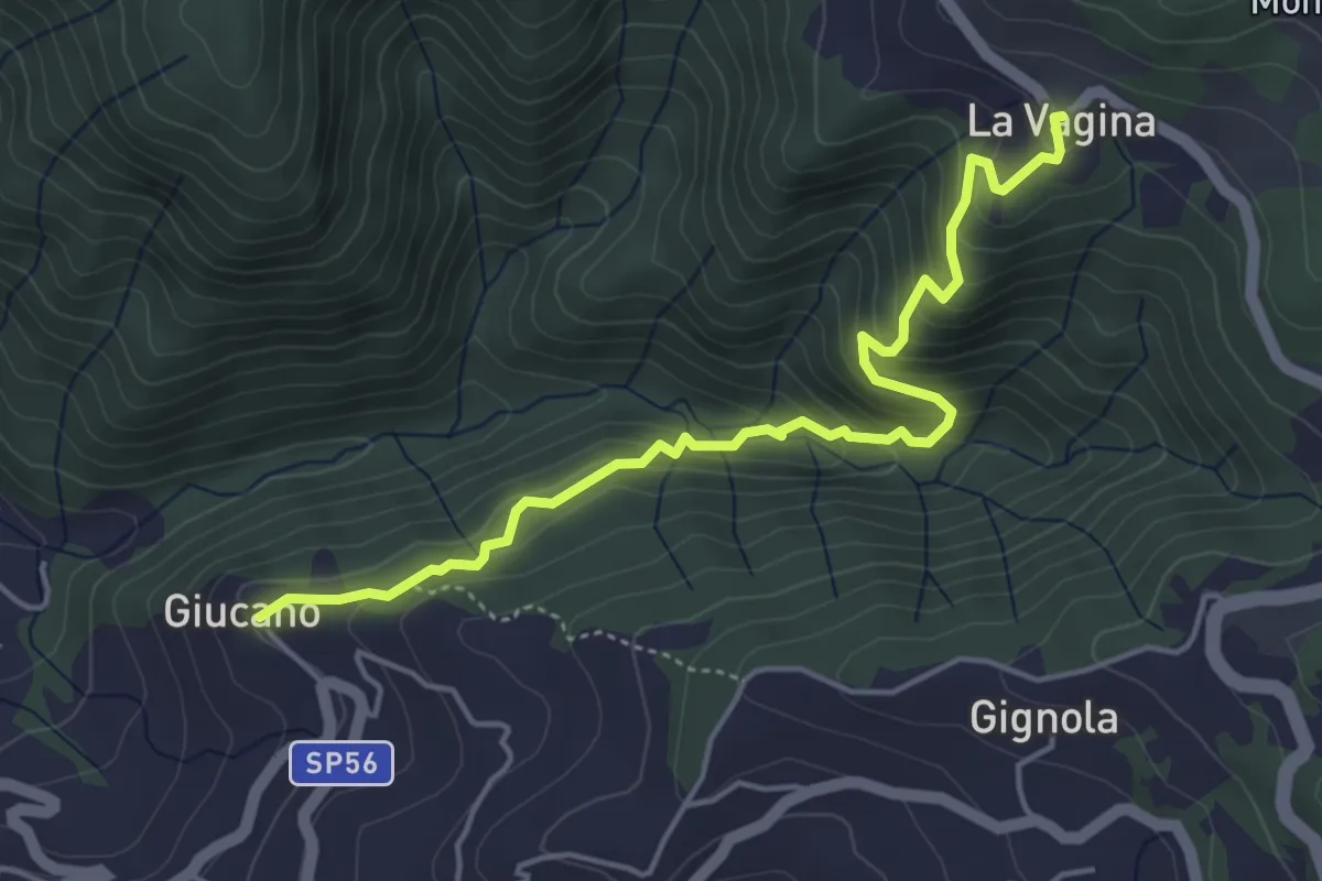
Medium · Trail
Giucano – Località La Vagina
5.1 km · ↑ 404 m · 2 h 5 min · 11 km away
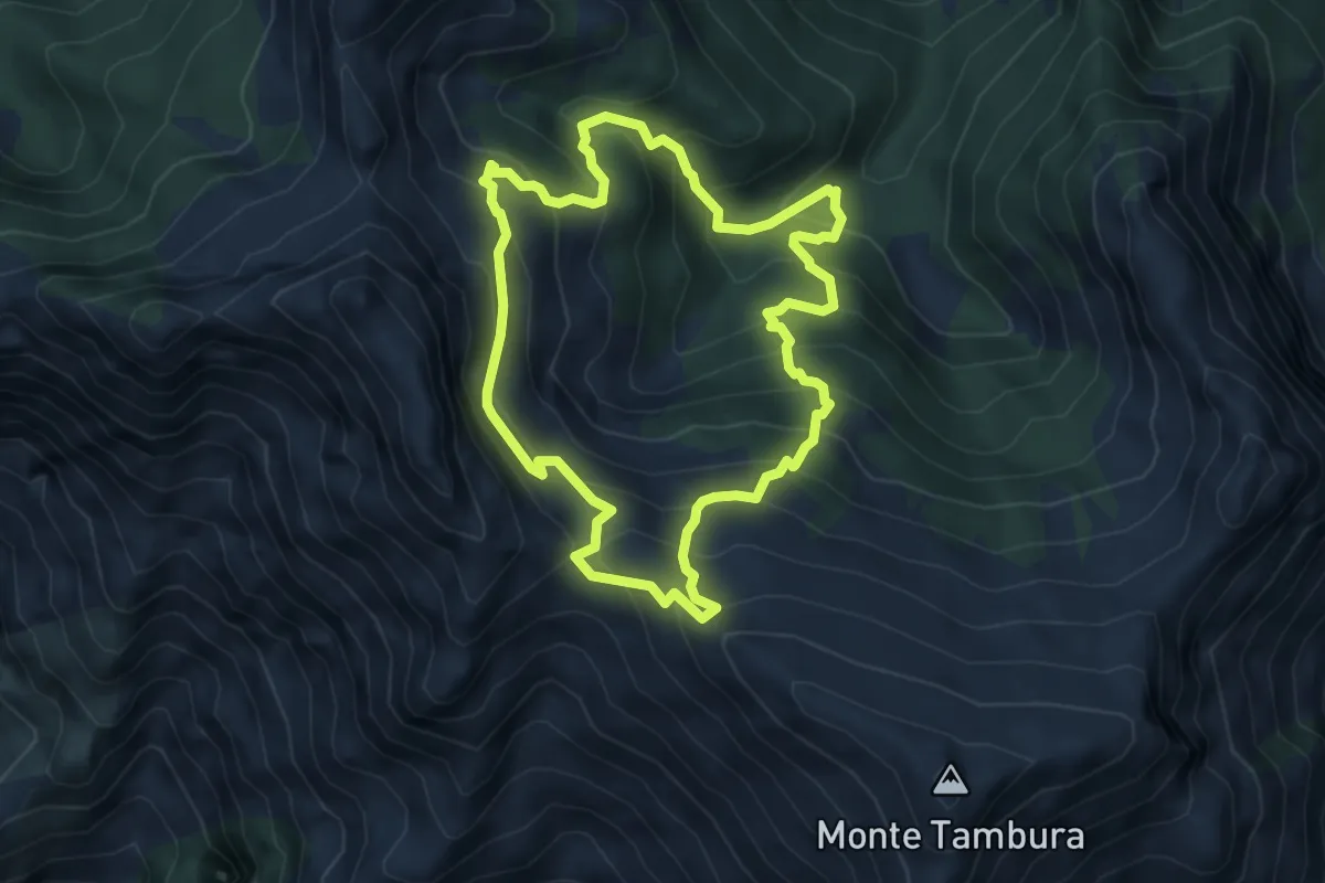
Demanding · Trail
Sentiero dei meno mille
5.1 km · ↑ 514 m · 2 h 23 min · 11 km away
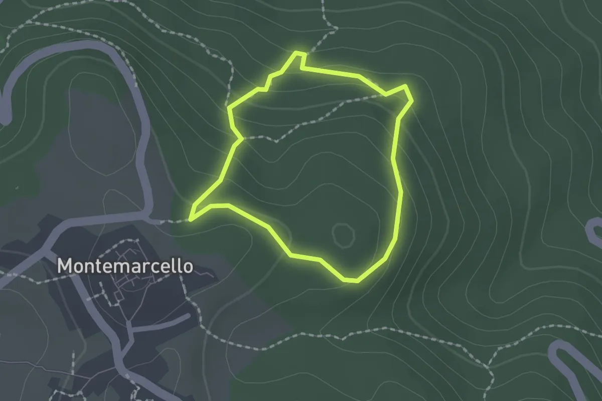
Easy · Trail
Montemarcello – giro del M. Marana
1.5 km · ↑ 81 m · 33 min · 11 km away
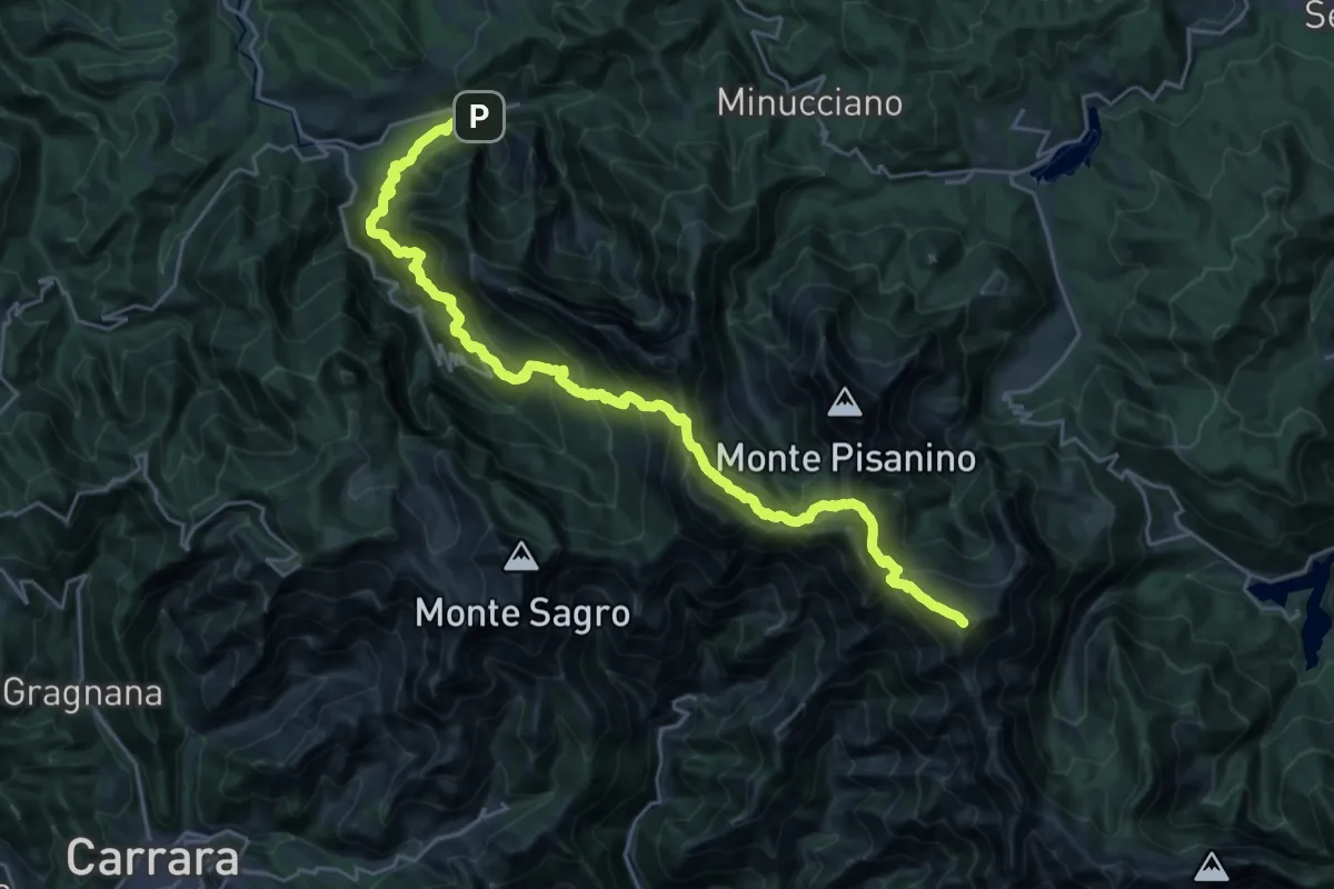
Demanding · Summit
Rifugio CAI Nello Conti – Equi Terme
30.4 km · ↑ 2755 m · 13 h 9 min · 11 km away
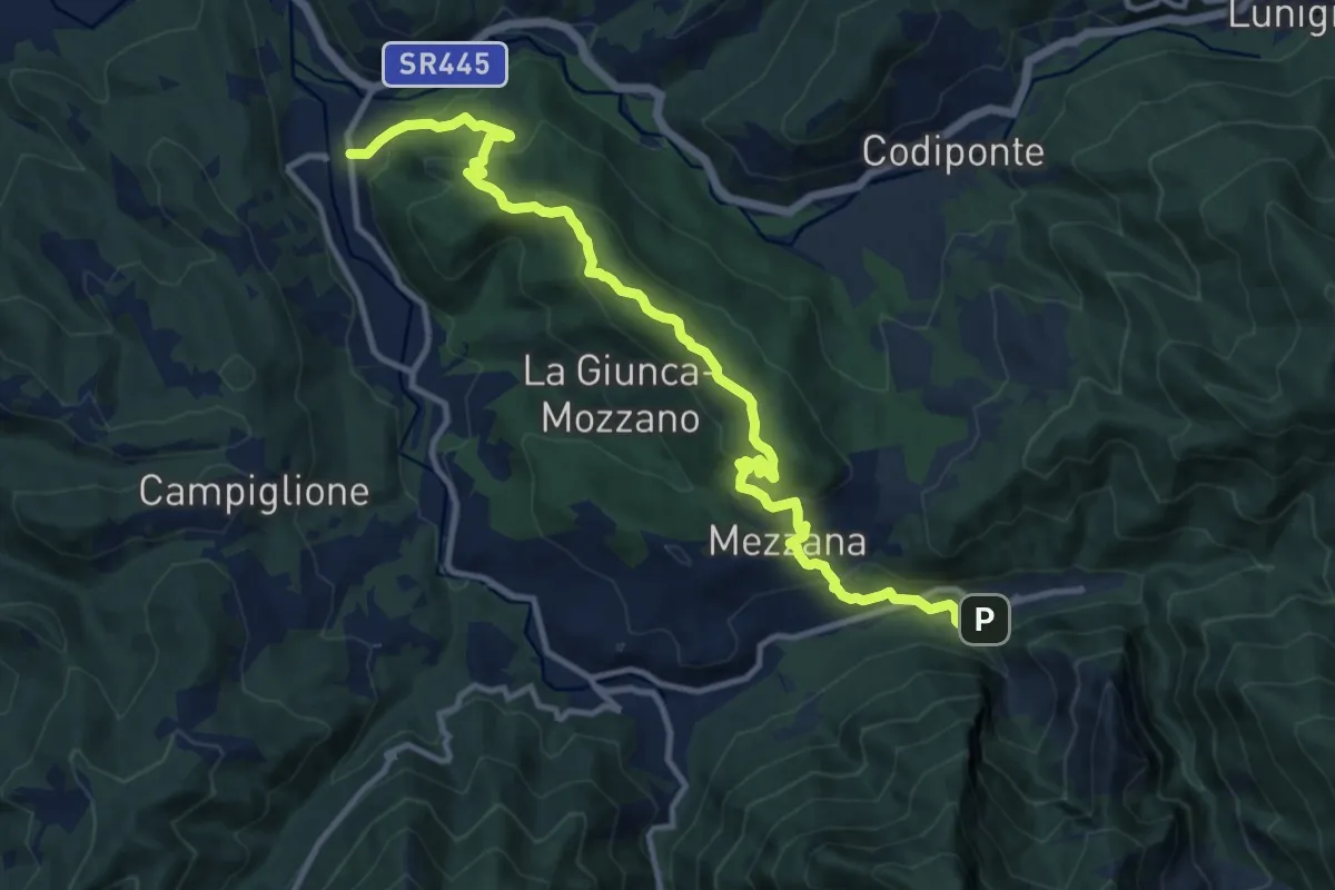
Medium · Trail
Gragnola – Equi Terme
13.7 km · ↑ 597 m · 4 h 31 min · 11 km away
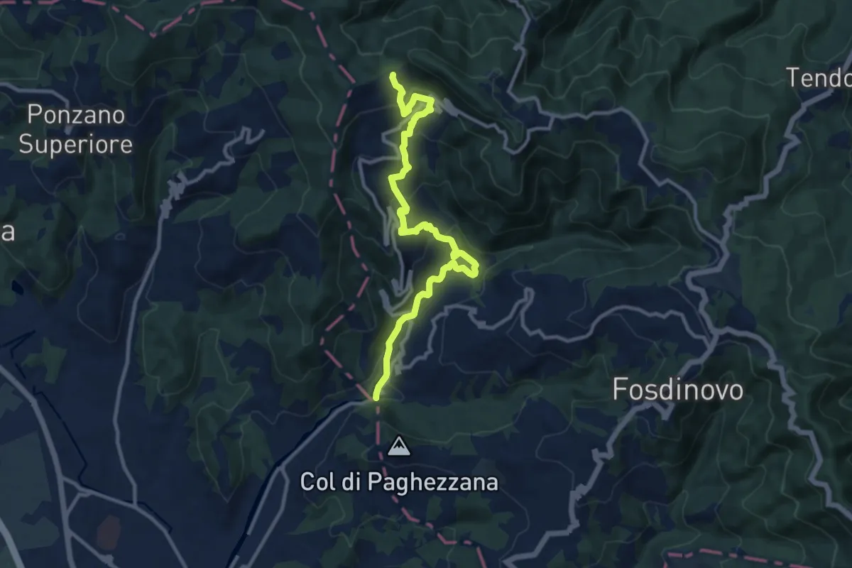
Demanding · Trail
Ponte Fabiano – Percorso 290
11.4 km · ↑ 536 m · 3 h 51 min · 11 km away
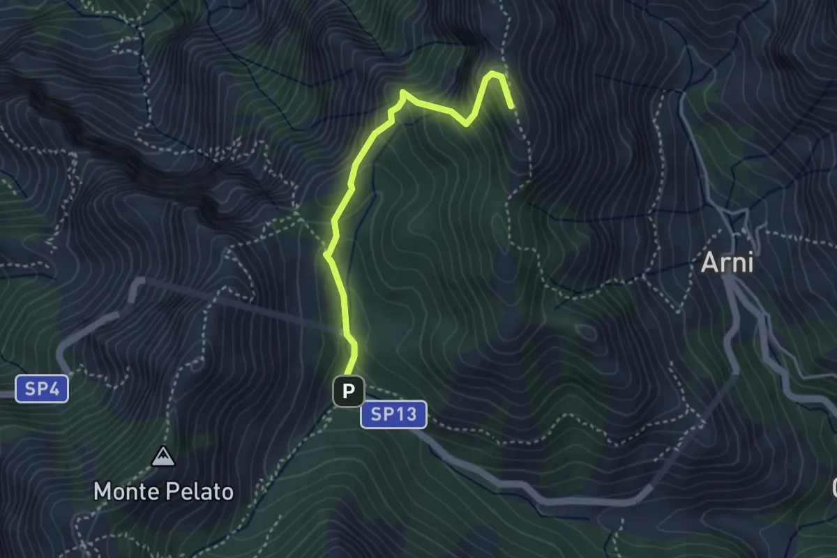
Expert · Summit
Le Gobbie – Passo Sella
3.3 km · ↑ 320 m · 1 h 28 min · 11 km away
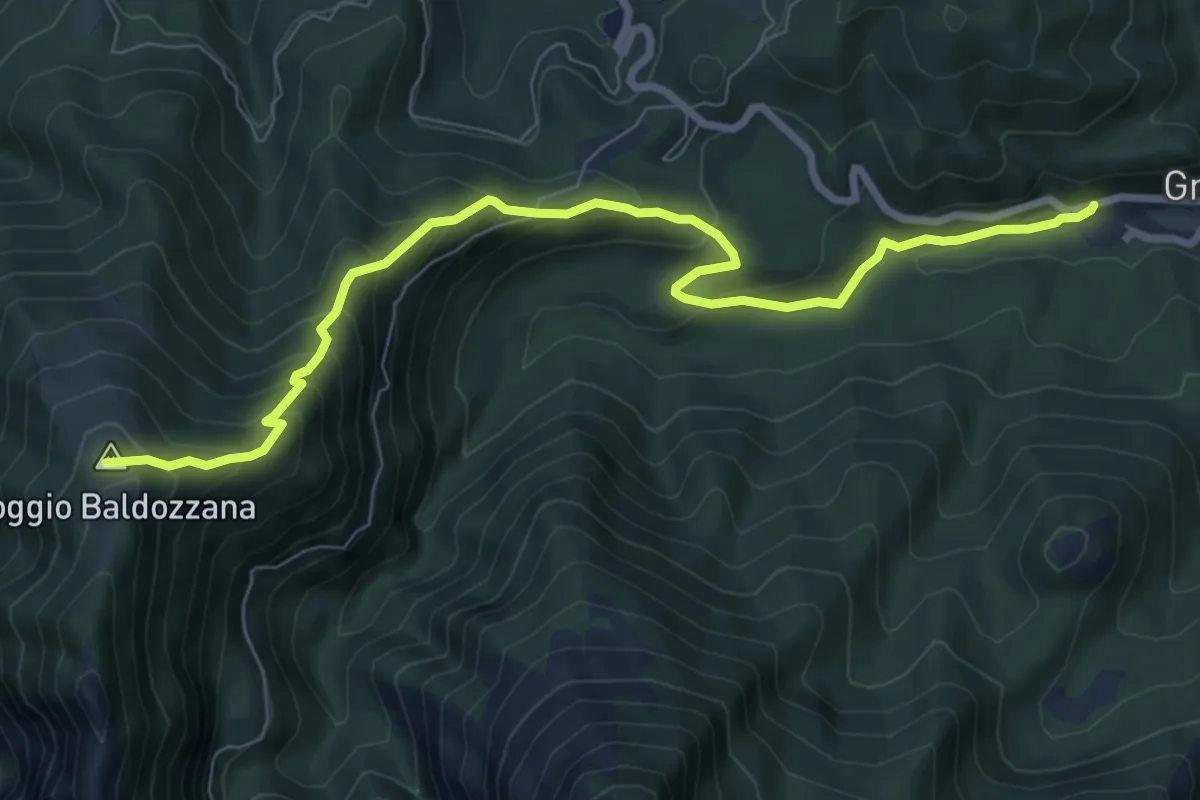
Medium · Trail
Gramolazzo – Poggio Baldozzana
9.0 km · ↑ 623 m · 3 h 29 min · 11 km away
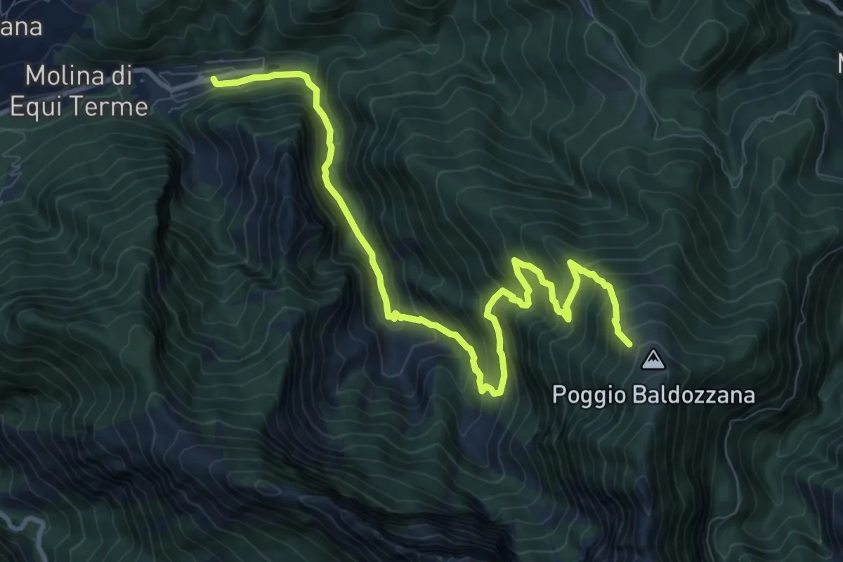
Demanding · Trail
Equi Terme – Innesto Percorso 181
12.0 km · ↑ 1133 m · 5 h 17 min · 11 km away
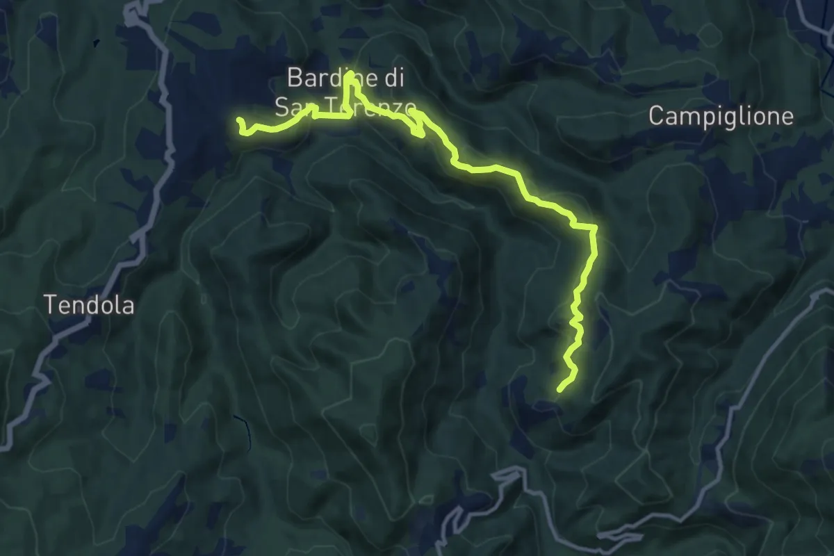
Medium · Trail
San Terenzo – Cecina
12.4 km · ↑ 595 m · 4 h 13 min · 11 km away
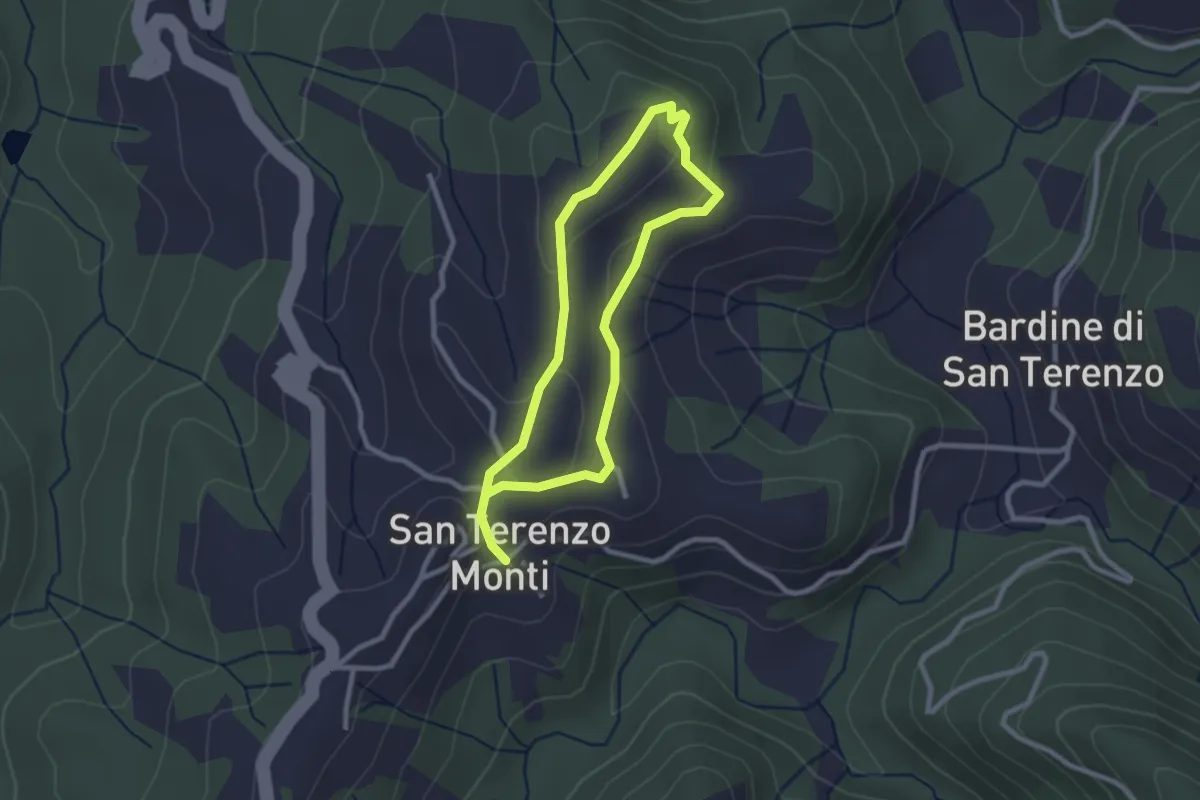
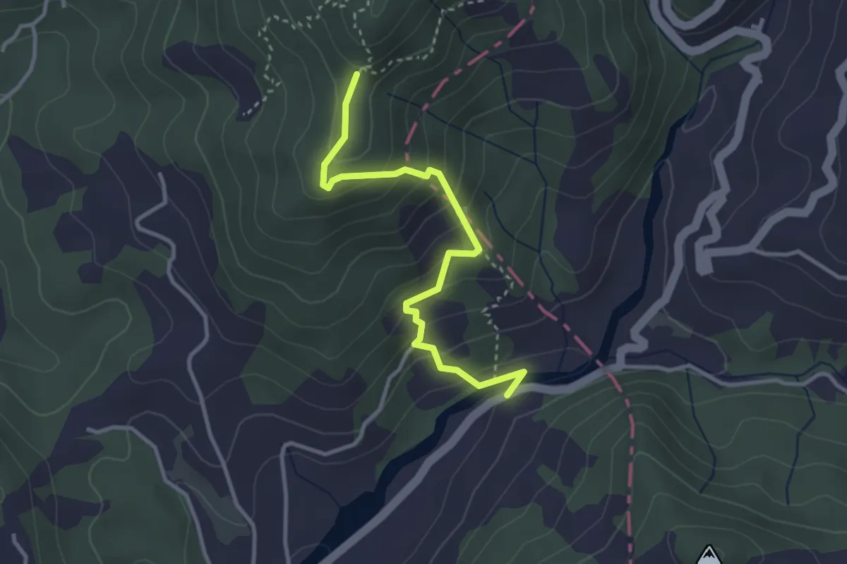
Easy · Trail
Sentiero della Memoria San Terenzo - Valla
2.2 km · ↑ 45 m · 39 min · 11 km away
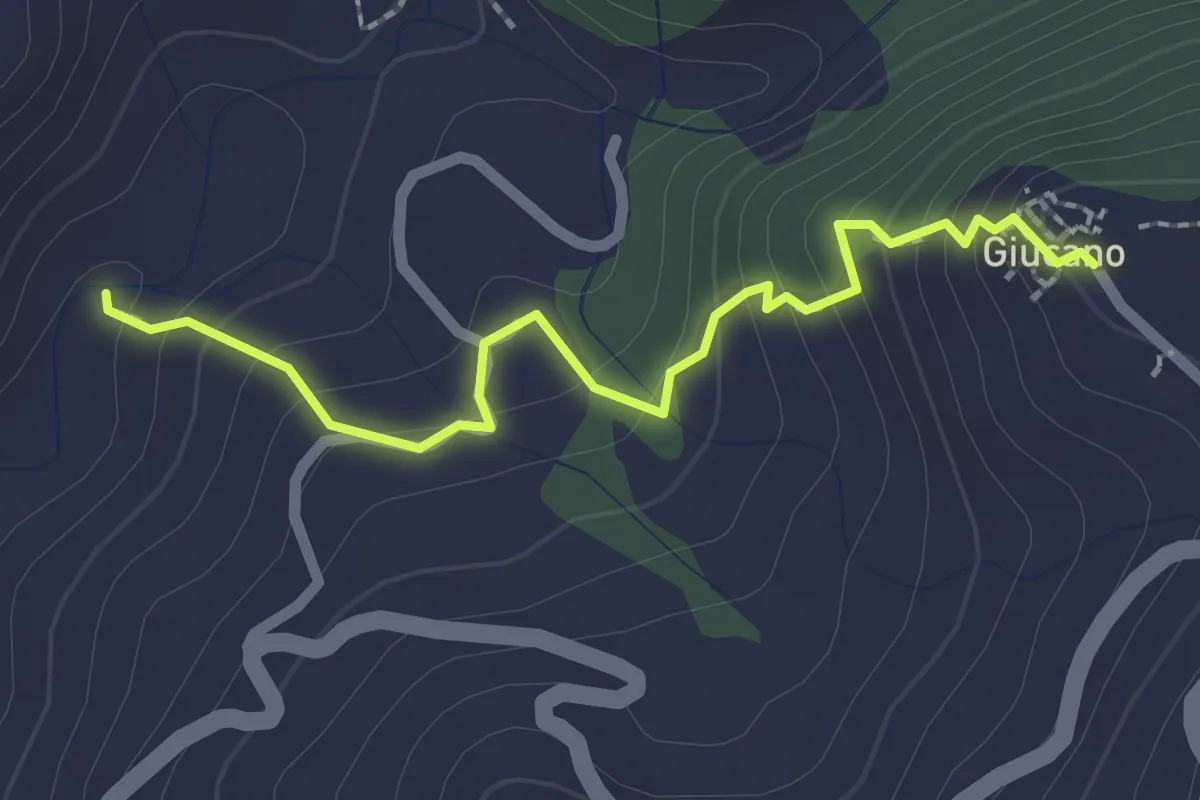
Easy · Trail
Via dei Molini – Percorso 325 - Prulla
3.3 km · ↑ 276 m · 1 h 23 min · 11 km away
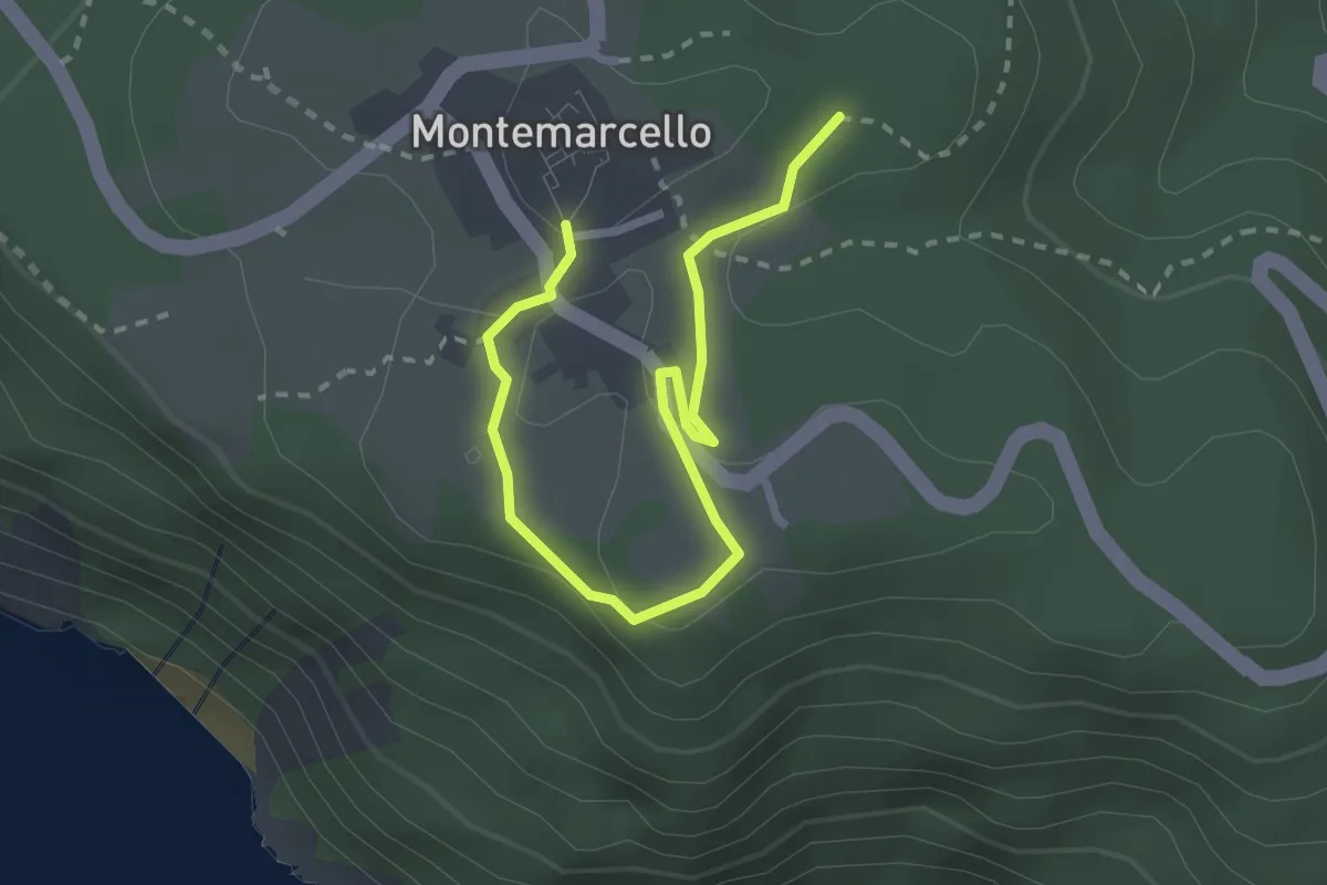
Easy · Trail
Percorso 288 – Giucano
2.4 km · ↑ 191 m · 58 min · 11 km away
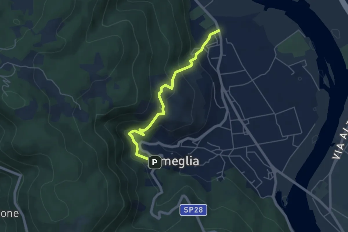
Easy · Trail
Bivio 436 - M. Marana
3.2 km · ↑ 50 m · 51 min · 11 km away
Easy · Trail
Fiume Magra – Camisano – C. Pianca – Ameglia
4.4 km · ↑ 307 m · 1 h 43 min · 12 km away
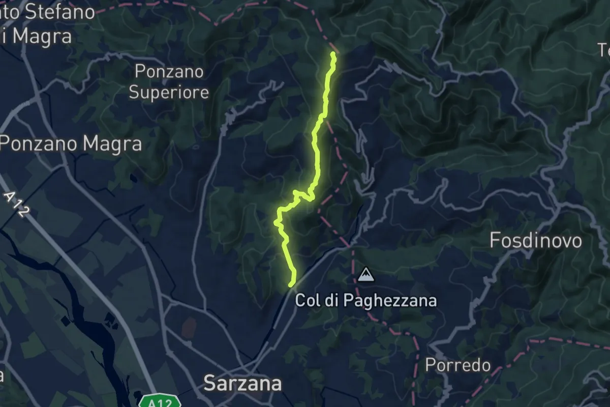
Medium · Trail
Ponte Budella – Percorso 290
9.7 km · ↑ 538 m · 3 h 28 min · 12 km away
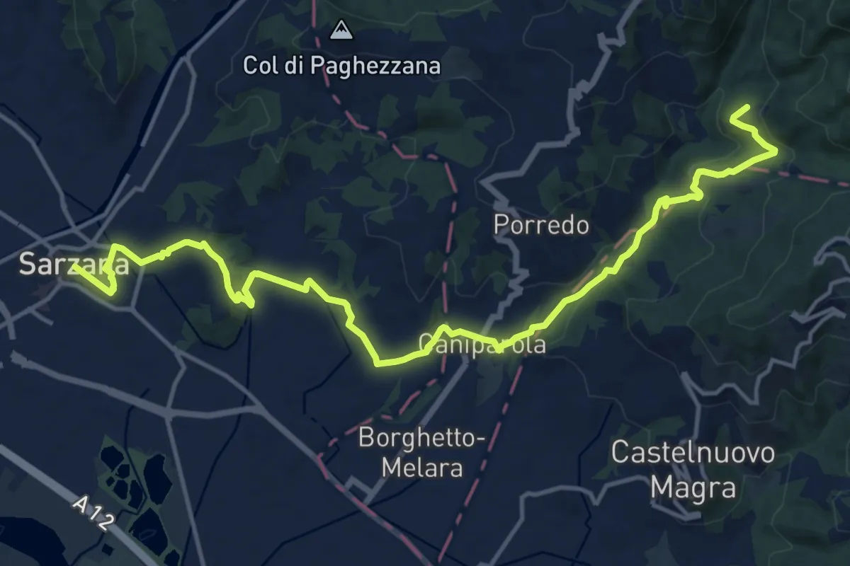
Medium · Trail
Sentiero dei Ducati Tappa 12
16.9 km · ↑ 465 m · 5 h · 12 km away
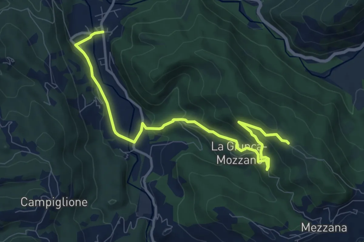
Medium · Trail
Gragnola – Fazzano
10.0 km · ↑ 386 m · 3 h 11 min · 12 km away
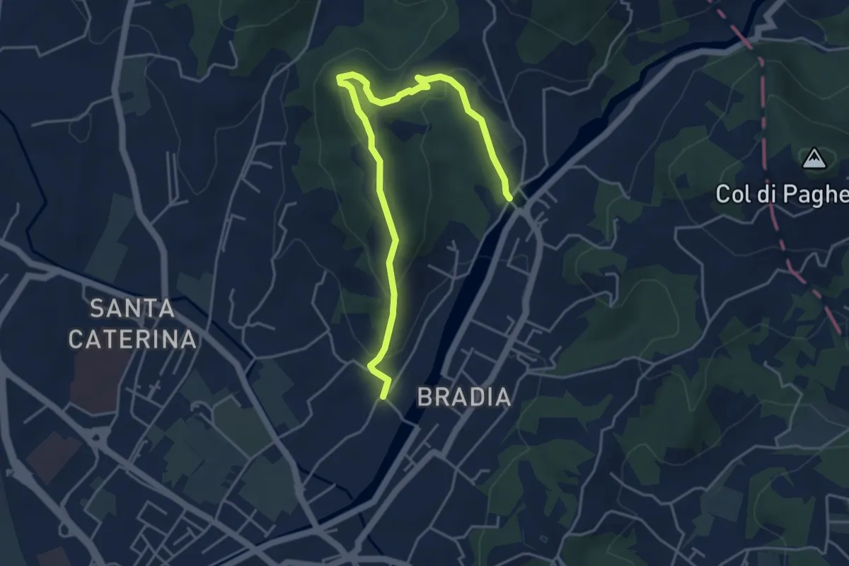
Easy · Trail
Via Paradiso – Ponte della Budella
5.1 km · ↑ 245 m · 1 h 45 min · 12 km away
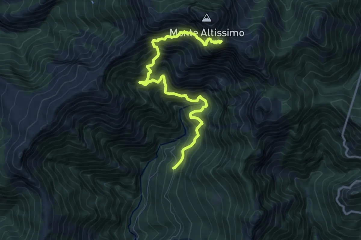
Demanding · Trail
Azzano (Cancello Cava Henreux) – Foce dell'Onda (Monte Altissimo)
9.6 km · ↑ 1647 m · 5 h 50 min · 12 km away
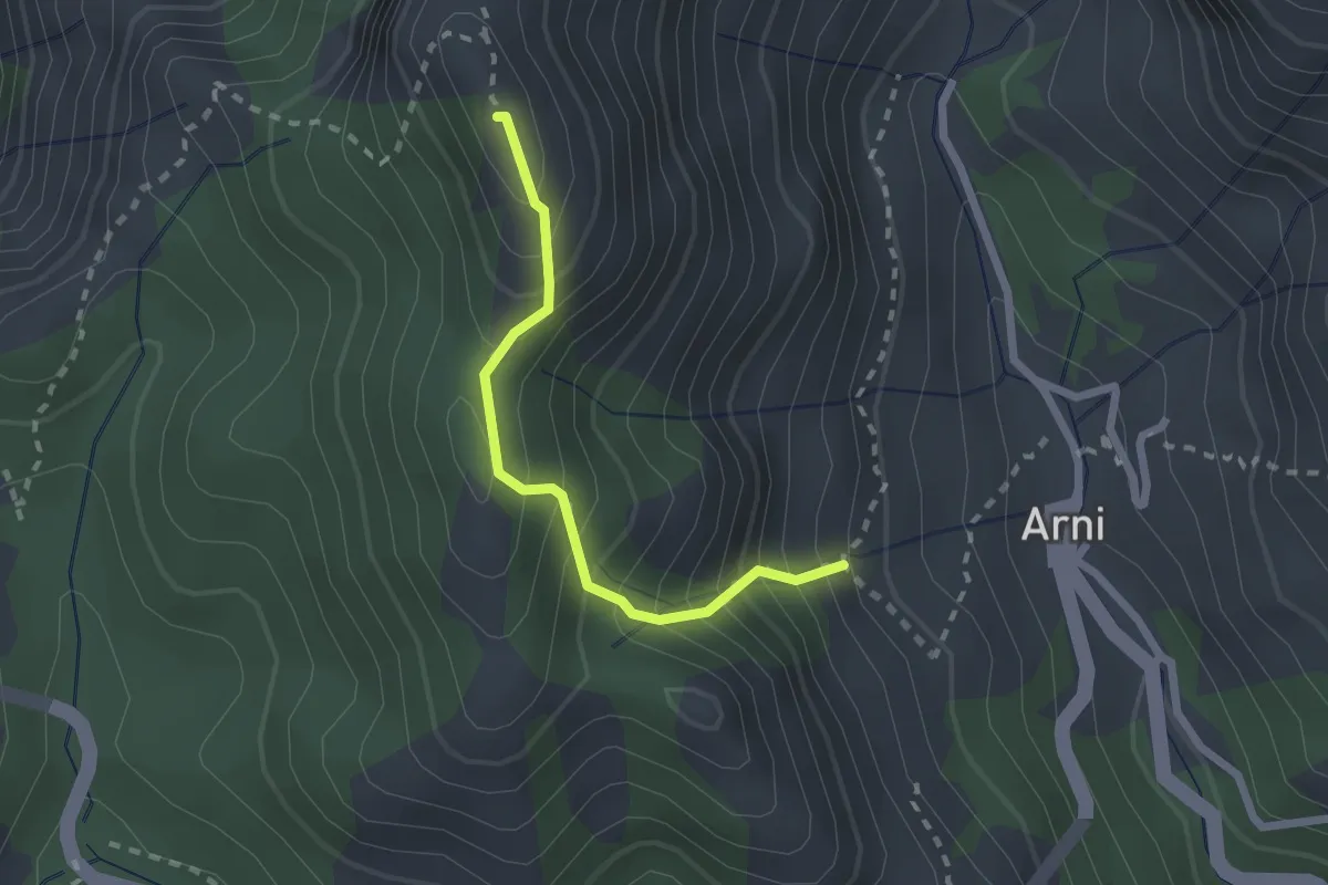
Medium · Summit
Rifugio Adelmo Puliti (Percorso 141) – Schienale dell'Asino (Pecorso 150)
2.1 km · ↑ 294 m · 1 h 8 min · 12 km away
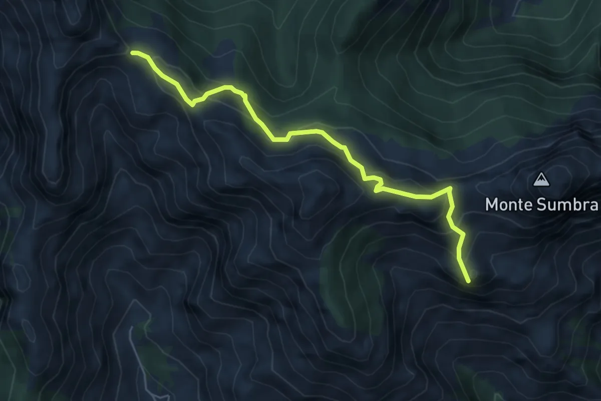
Demanding · Summit
Arni – Passo Sella
5.7 km · ↑ 476 m · 2 h 23 min · 12 km away
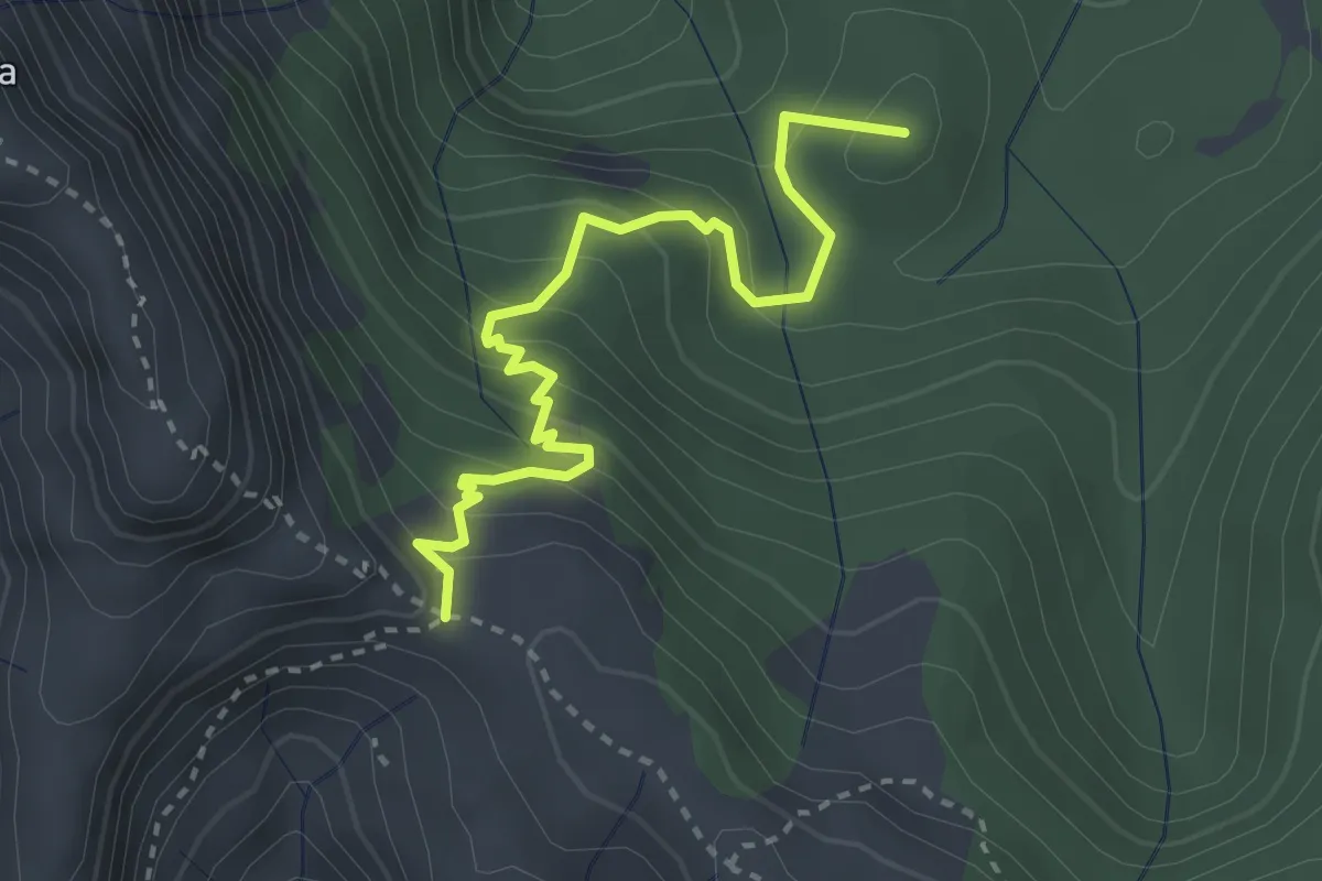
Medium · Summit
Arnetola – Cave delle Cervaiole
3.3 km · ↑ 287 m · 1 h 24 min · 12 km away
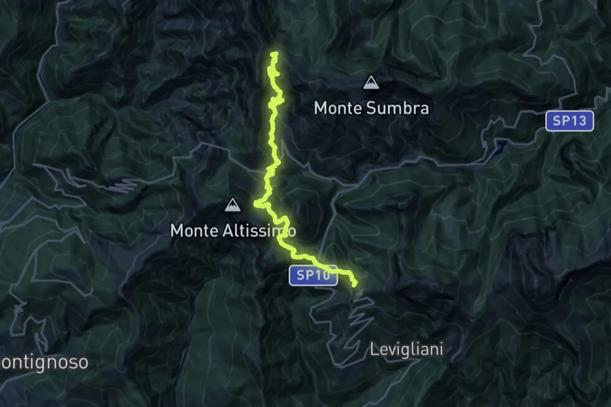
Demanding · Summit
Foce di Mosceta – Passo Sella
20.3 km · ↑ 1754 m · 8 h 35 min · 12 km away
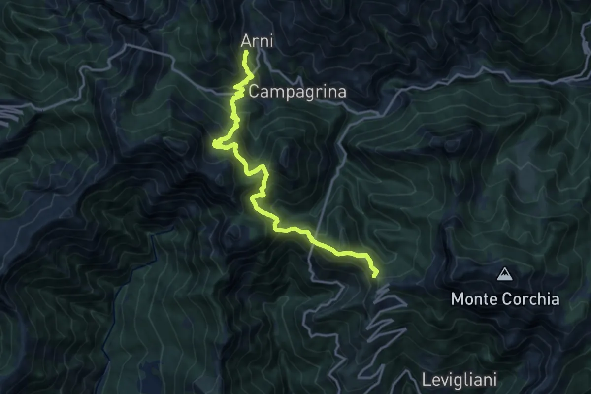
Demanding · Summit
Rifugio CAI Del Freo – Rifugio CAI Puliti
12.9 km · ↑ 1058 m · 5 h 20 min · 12 km away
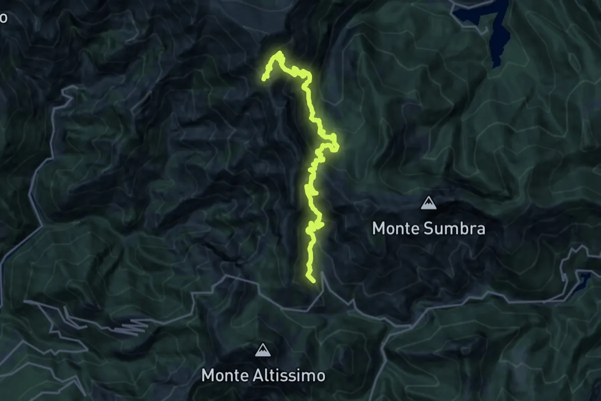
Demanding · Summit
Rifugio CAI Puliti – Rifugio CAI Nello Conti
19.2 km · ↑ 1895 m · 8 h 38 min · 12 km away
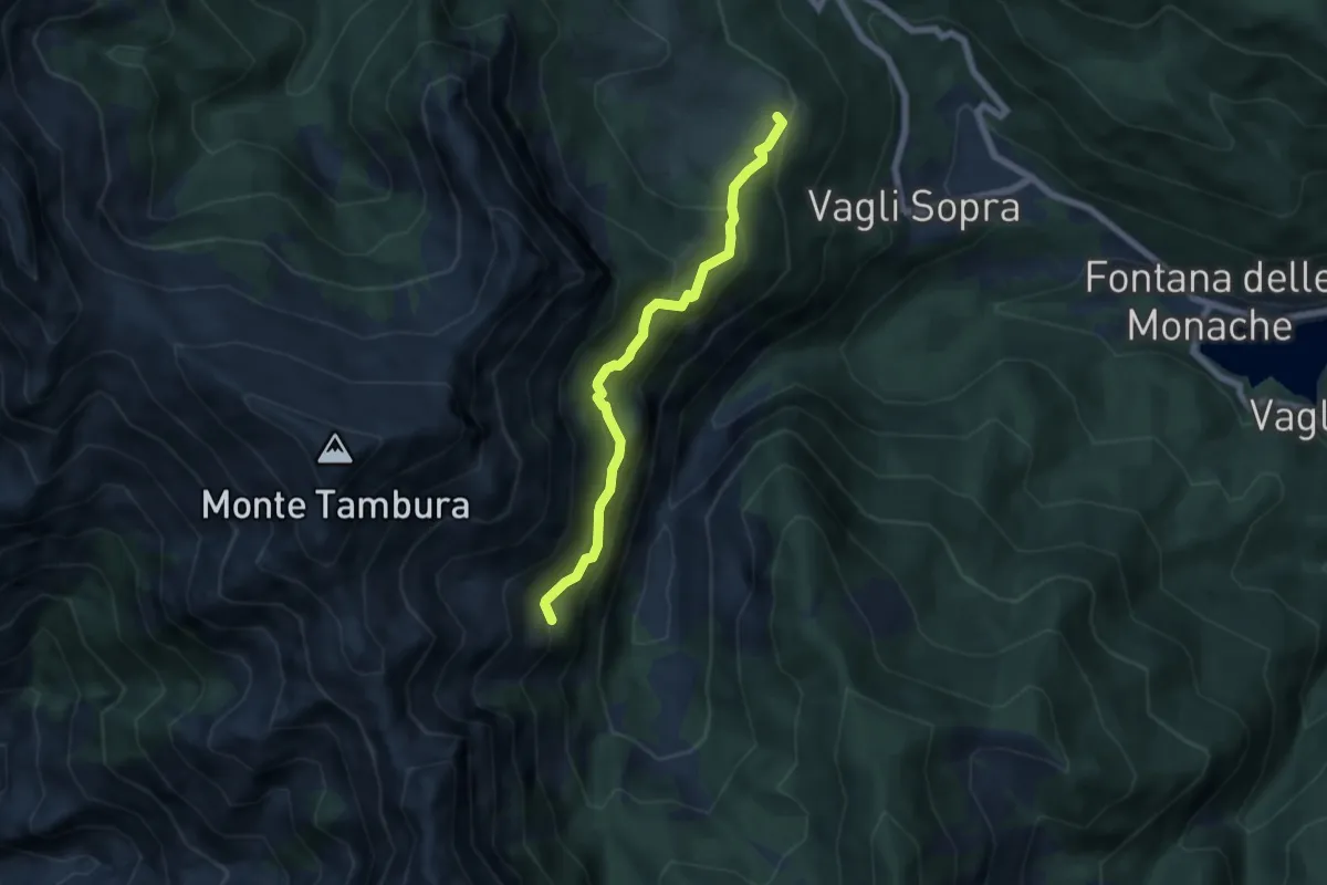
Expert · Trail
Campocatino – Percorso 135
5.7 km · ↑ 430 m · 2 h 16 min · 12 km away