Trails near Cascina
64 hikes starting within 15 km, nearest first.
Nearest first, page 1 of 2
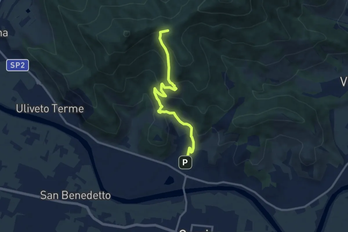
Medium · Summit
Caprona – Lugnano
7.7 km · ↑ 453 m · 2 h 48 min · 1 km away
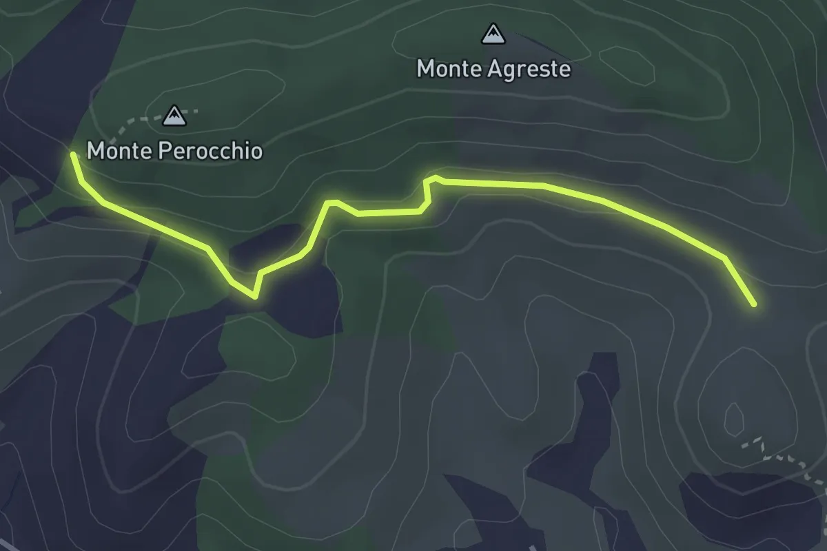
Easy · Trail
Località del Croci – Campo dei Lupi
3.3 km · ↑ 118 m · 1 h 2 min · 2 km away
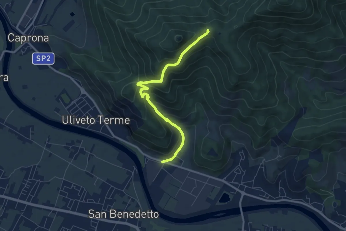
Medium · Trail
Noce – Prato a Ceccottino
7.1 km · ↑ 419 m · 2 h 35 min · 4 km away
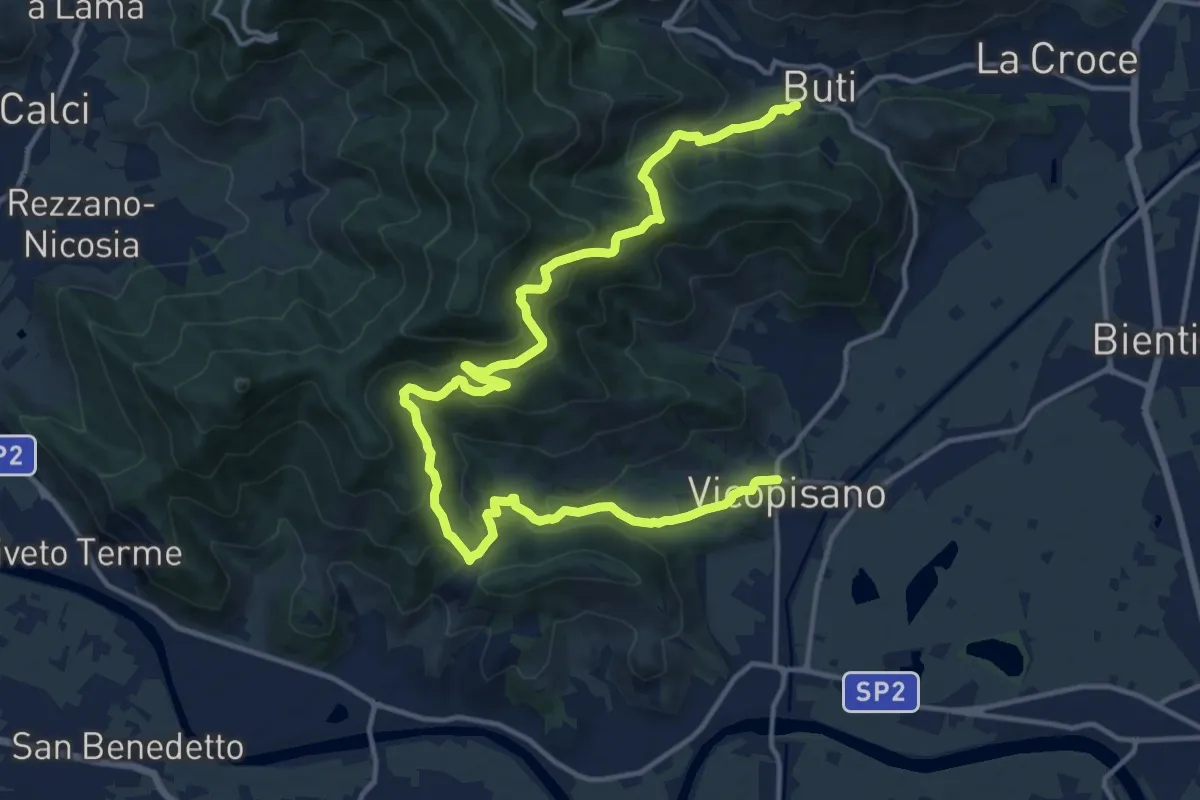
Demanding · Trail
Vicopisano – Buti
20.0 km · ↑ 978 m · 6 h 50 min · 4 km away
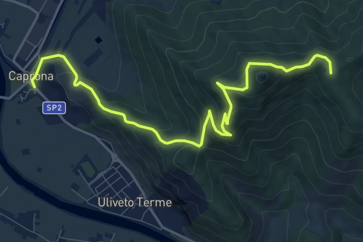
Medium · Summit
Caprona – San Bernardo
11.2 km · ↑ 580 m · 3 h 54 min · 5 km away
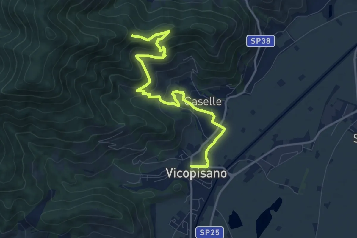
Medium · Trail
Vicopisano – Col di Cincia
10.8 km · ↑ 442 m · 3 h 31 min · 5 km away
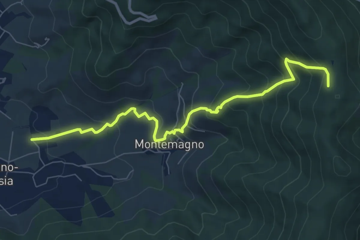
Medium · Trail
Certosa di Calci – Prato a Giovo
7.8 km · ↑ 581 m · 3 h 5 min · 5 km away
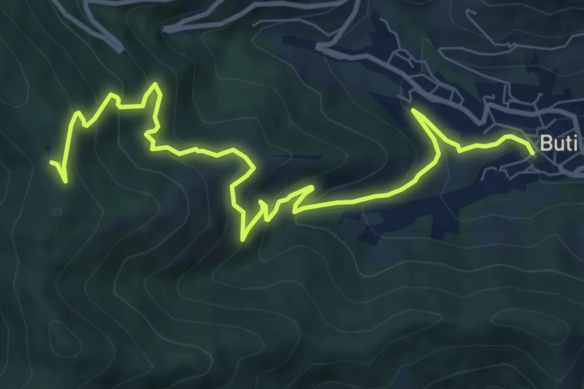
Medium · Trail
Buti – Prato a Giovo
9.9 km · ↑ 619 m · 3 h 41 min · 6 km away
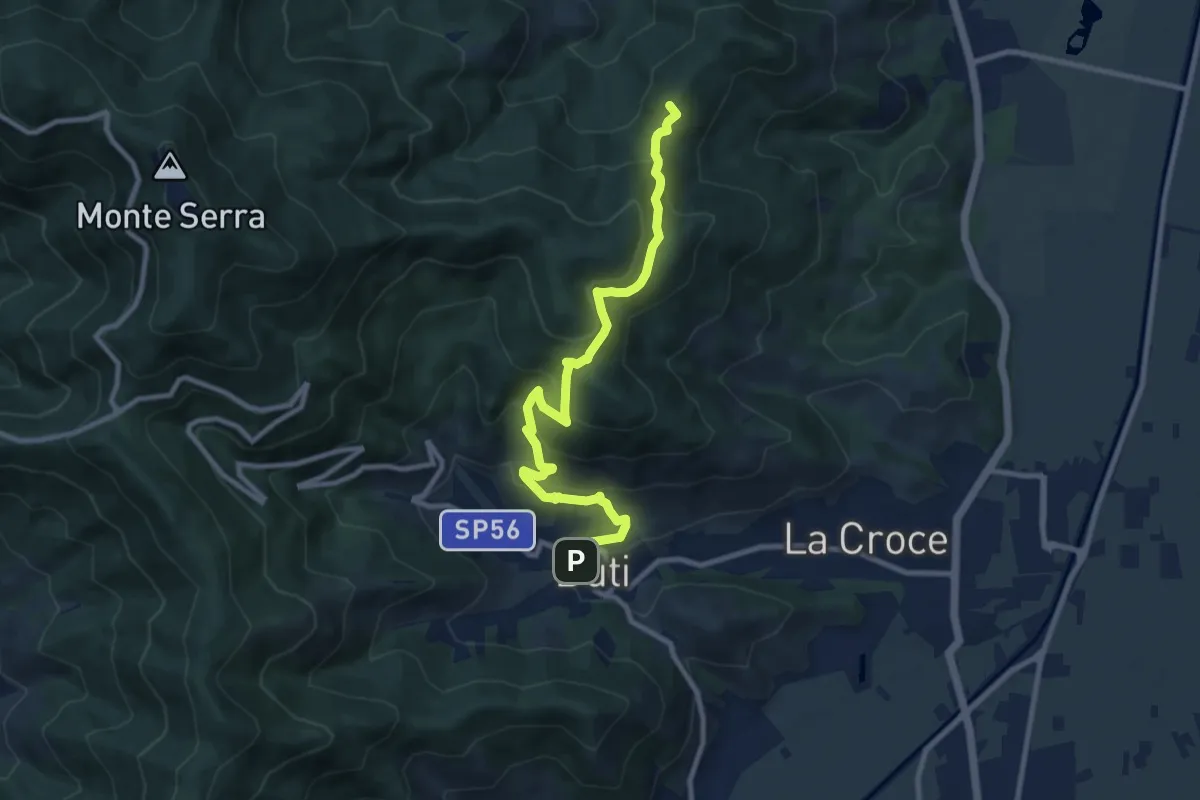
Medium · Summit
Castelvecchio di Compito – Buti
10.5 km · ↑ 603 m · 3 h 47 min · 6 km away
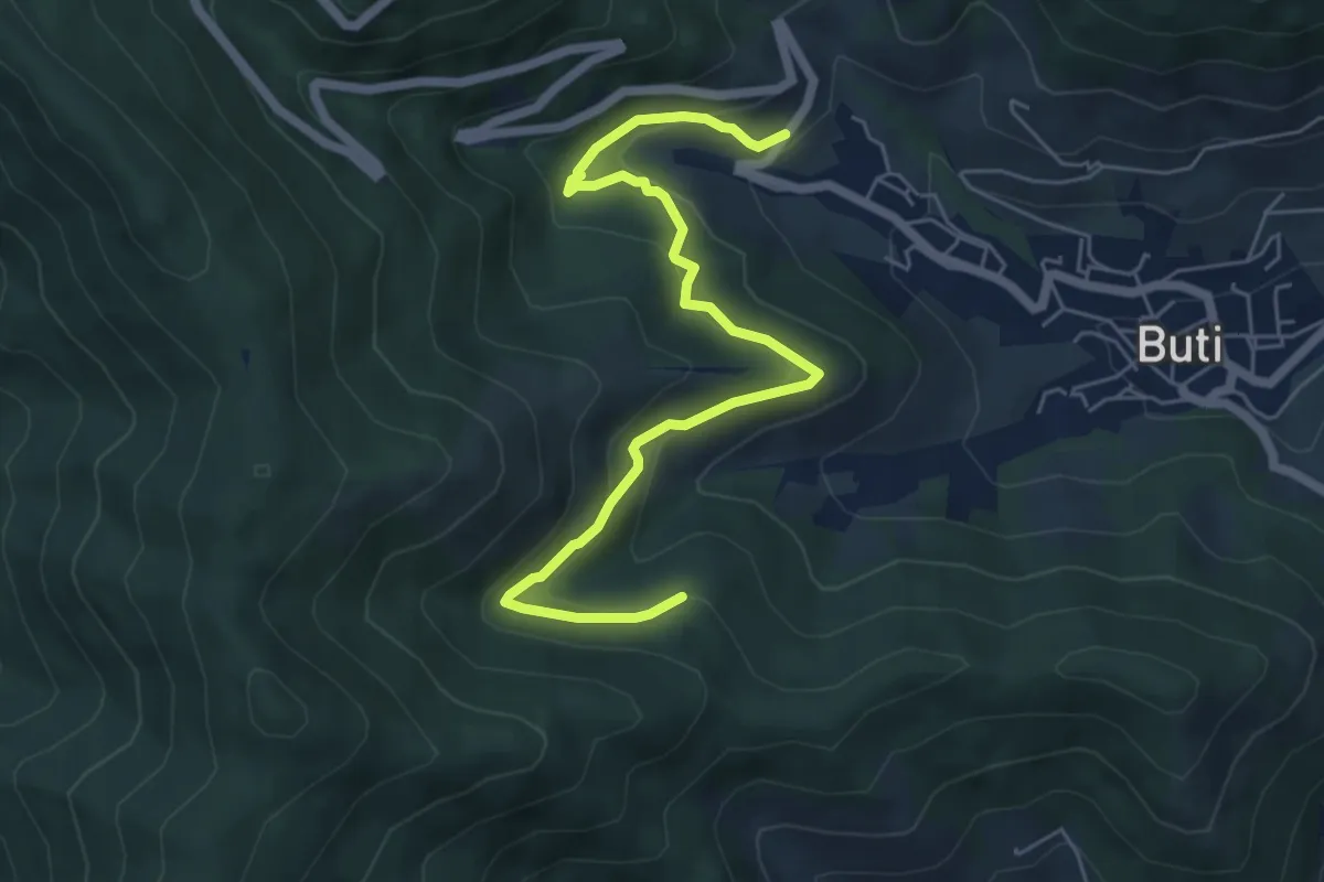
Medium · Trail
Panicale – Col di Cincia
6.8 km · ↑ 347 m · 2 h 21 min · 7 km away
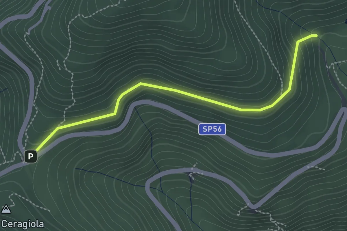
Easy · Trail
Serra di Sotto – Prato a Ceragiola
2.9 km · ↑ 114 m · 56 min · 7 km away
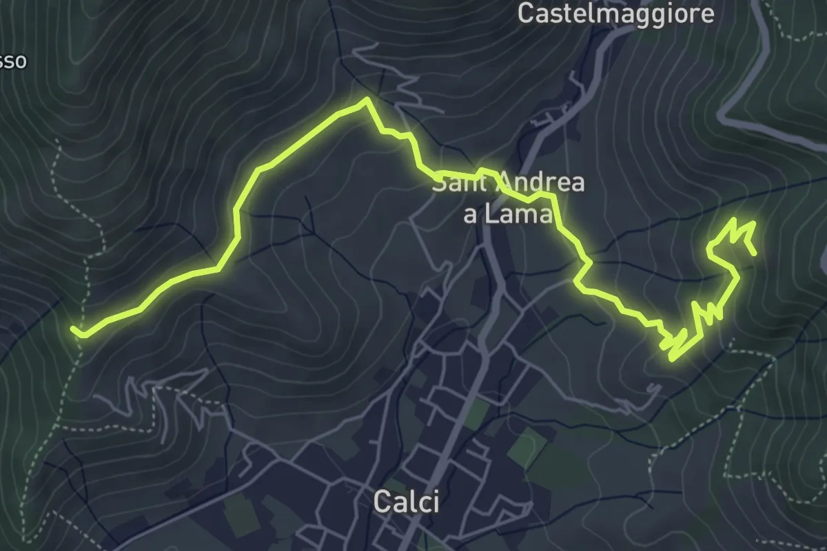
Medium · Trail
San Bernardo – Via di Pari
7.9 km · ↑ 417 m · 2 h 46 min · 7 km away
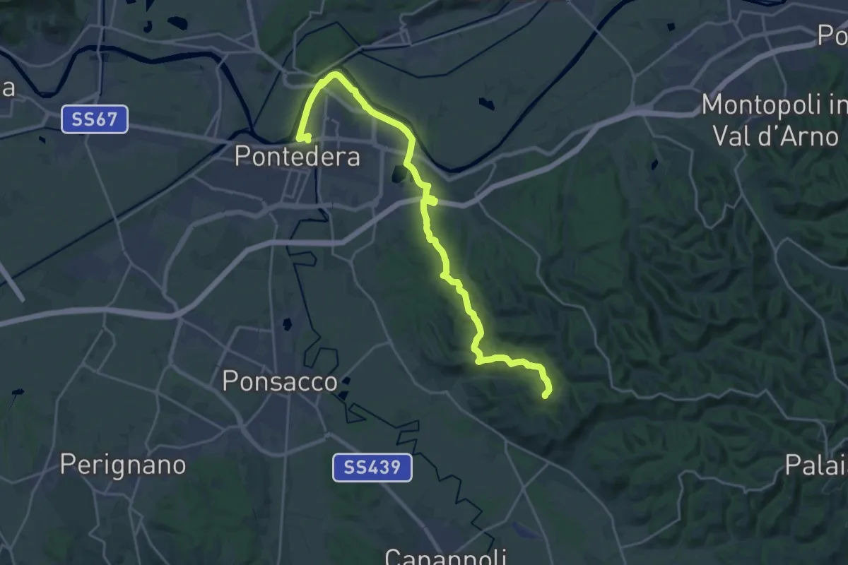
Demanding · Trail
Pontedera- Bocca d'Era – loc Il Salcione
24.8 km · ↑ 280 m · 6 h 27 min · 7 km away
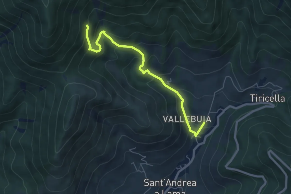
Medium · Trail
Castelmaggiore – Campo di Croce
5.6 km · ↑ 402 m · 2 h 11 min · 7 km away
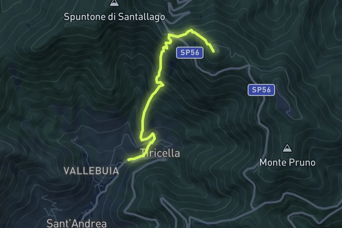
Medium · Summit
Castelmaggiore – Monte Cascetto
6.7 km · ↑ 740 m · 3 h 11 min · 8 km away
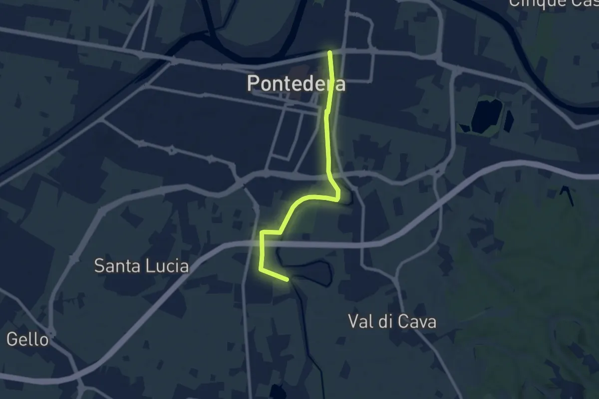
Easy · Trail
Bocca d'Era (Pontedera) – La Borra -Madonna dei Braccini
7.1 km · ↑ 8 m · 1 h 42 min · 8 km away
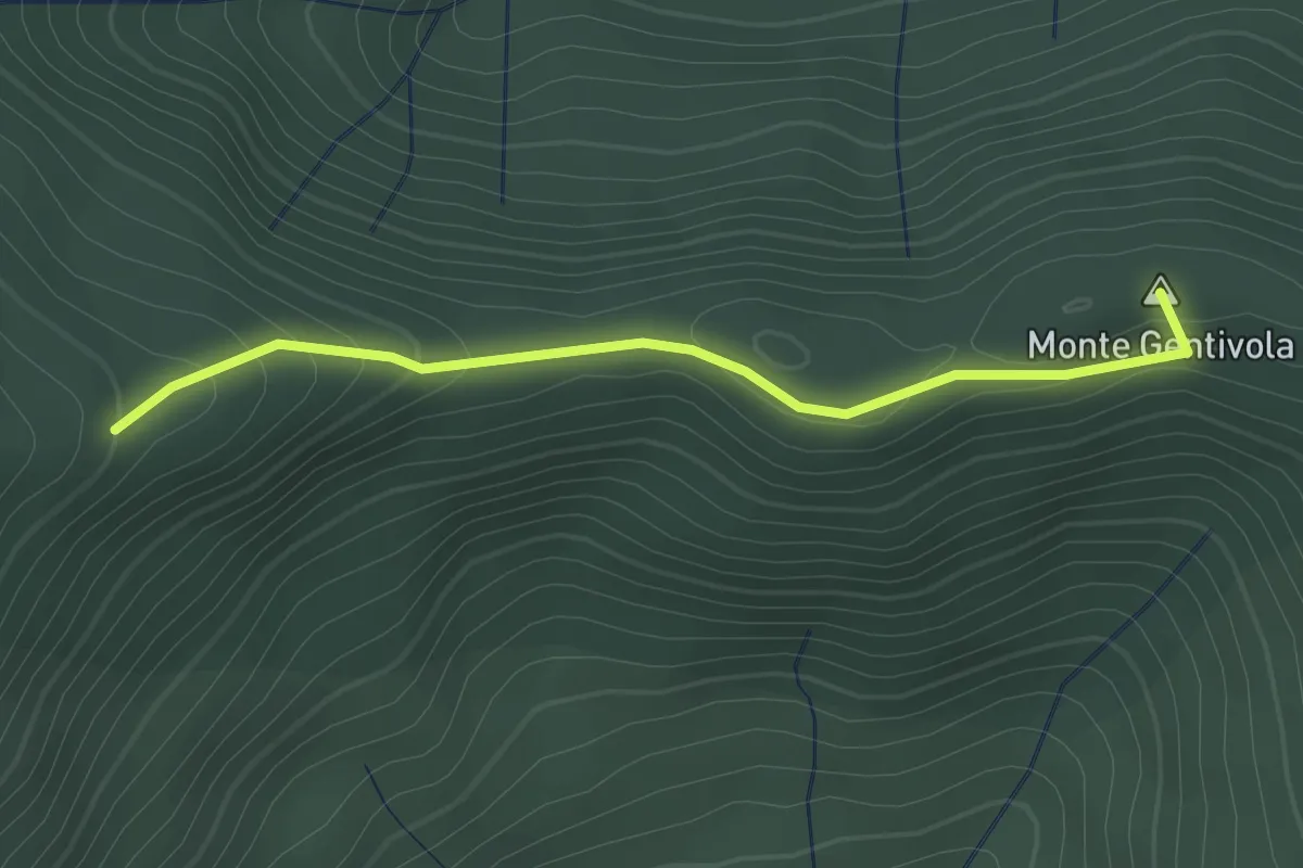
Easy · Summit
Percorso 142 – Percorso 140
2.2 km · ↑ 94 m · 44 min · 8 km away
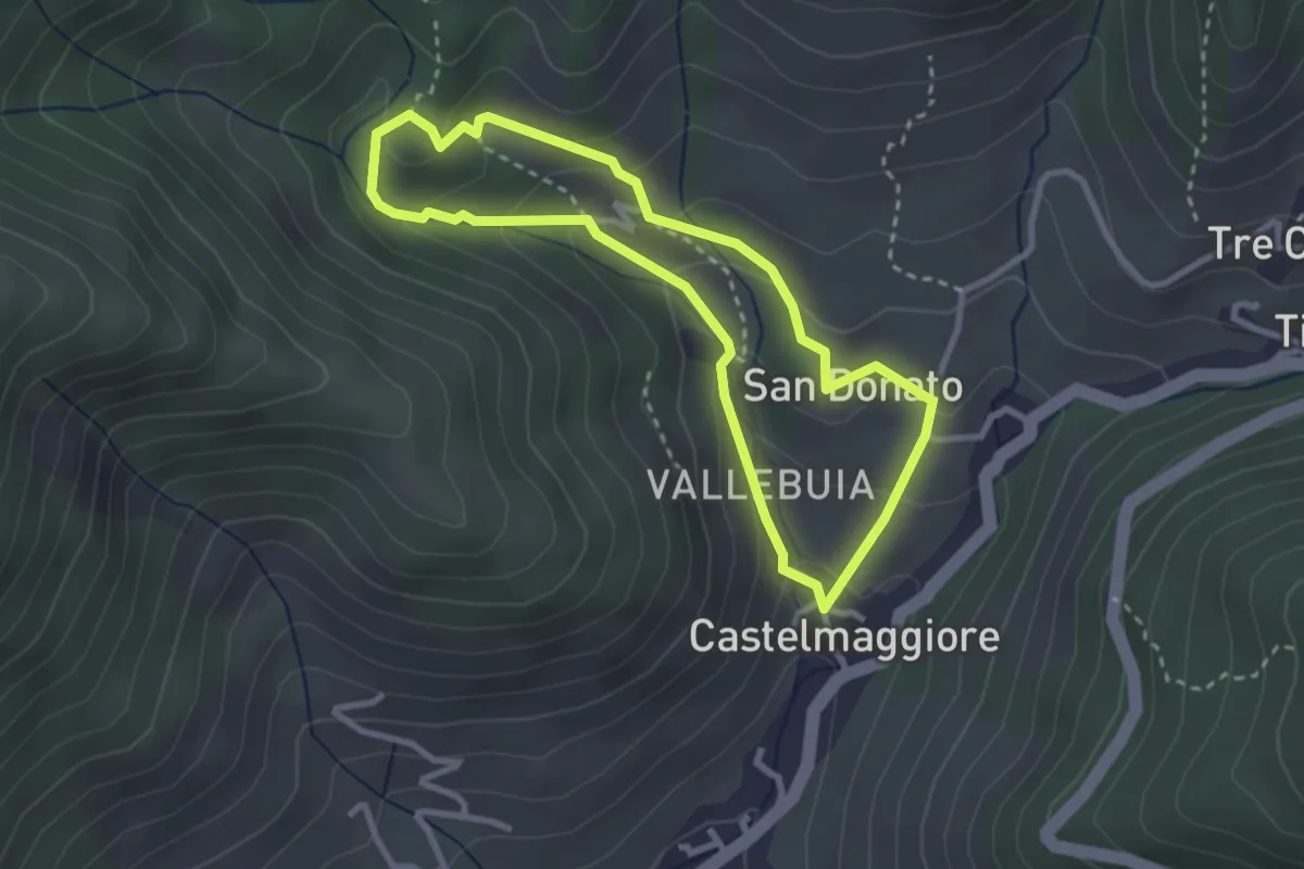
Easy · Trail
Percorso delle Acque
2.8 km · ↑ 146 m · 1 h 1 min · 8 km away
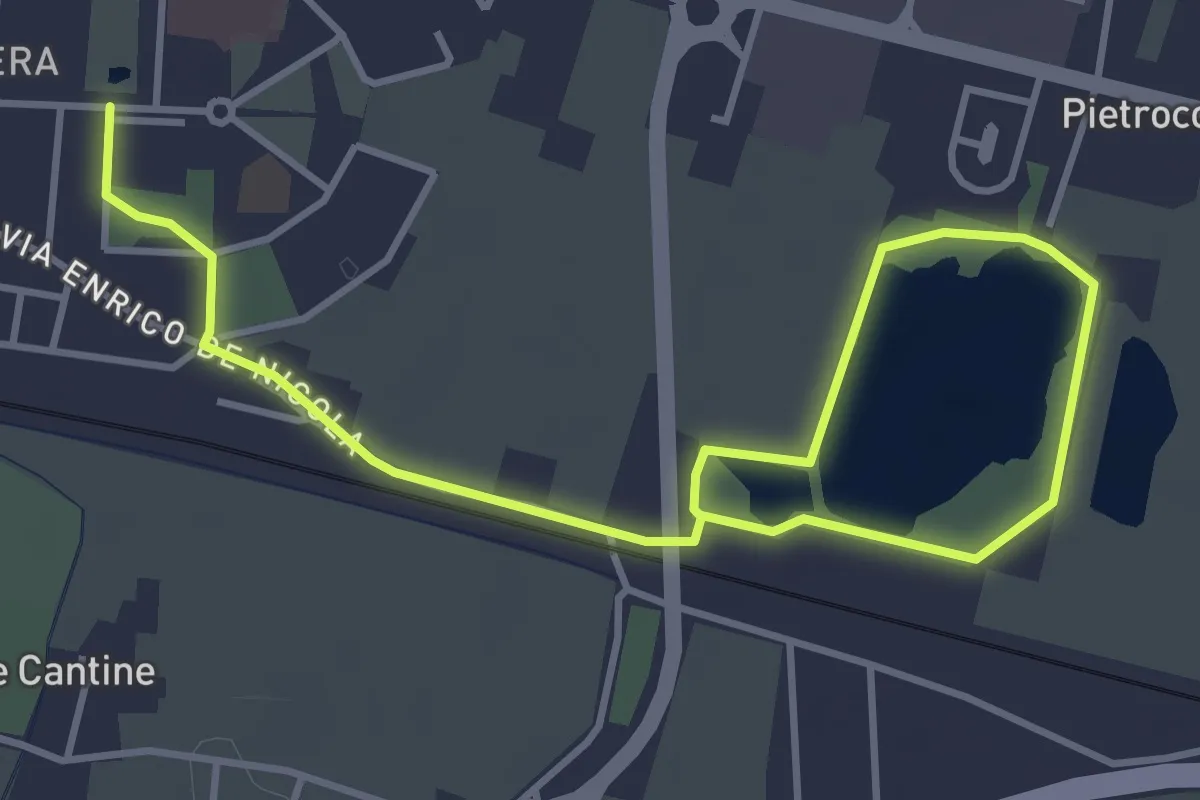
Easy · Trail
Giro dei Laghi
5.8 km · ↑ 4 m · 1 h 22 min · 8 km away
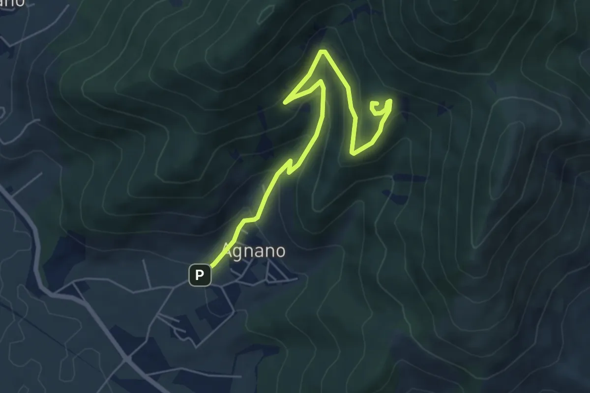
Medium · Summit
Agnano – Foce di Calci
6.4 km · ↑ 388 m · 2 h 21 min · 8 km away
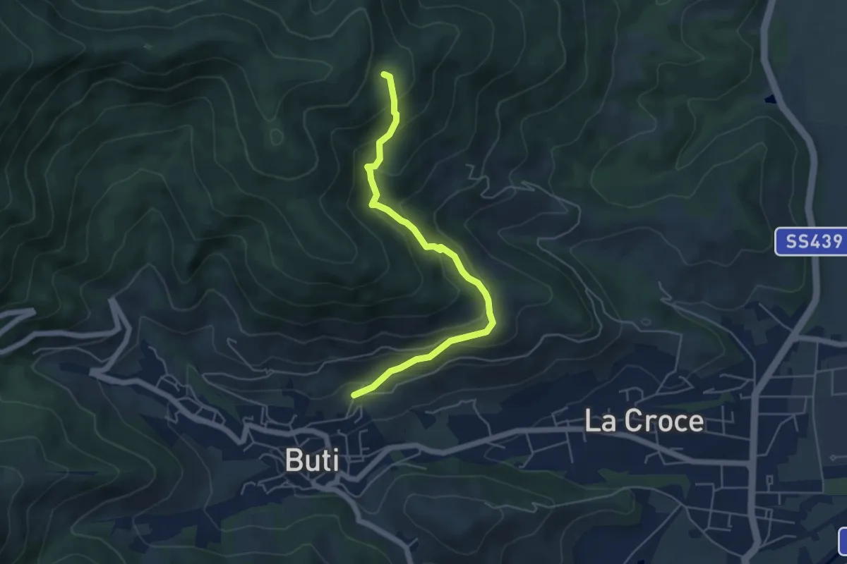
Medium · Trail
Buti – Piavola
5.4 km · ↑ 374 m · 2 h 5 min · 8 km away
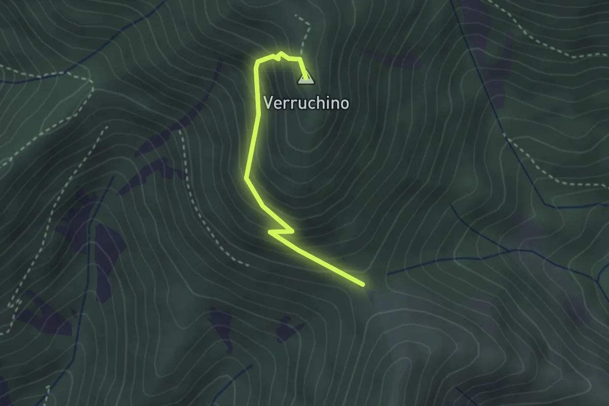
Easy · Summit
Foce di Calci – Verruchino (innesto 00)
2.6 km · ↑ 245 m · 1 h 8 min · 9 km away
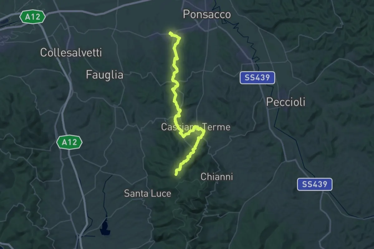
Demanding · Summit
Perignano – Quattro Strade
44.0 km · ↑ 1078 m · 12 h 44 min · 9 km away
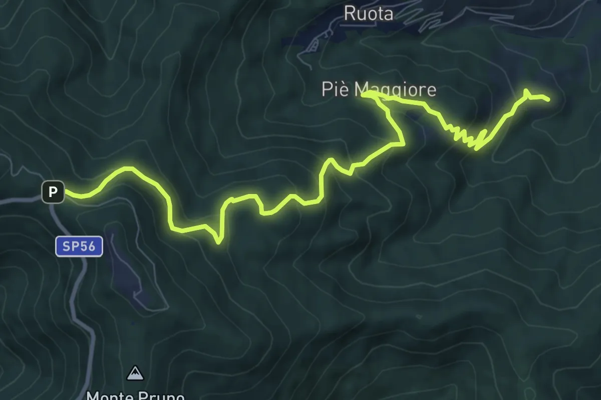
Medium · Summit
Colle di Compito – Prato di Calci
11.1 km · ↑ 688 m · 4 h 7 min · 9 km away
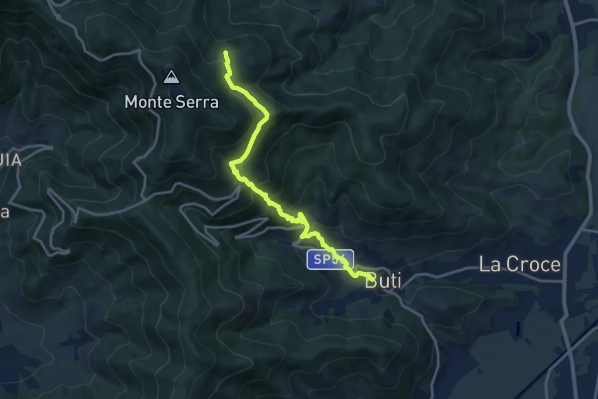
Medium · Trail
Buti – Piambello
10.4 km · ↑ 669 m · 3 h 55 min · 9 km away
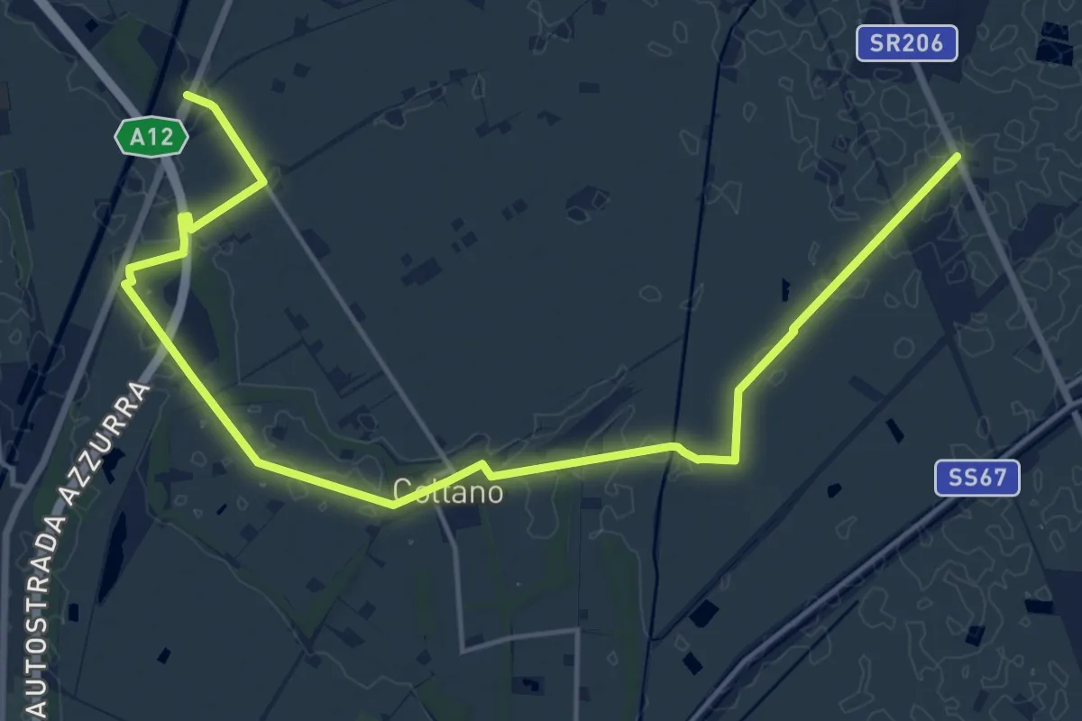
Demanding · Trail
Sentiero Mediceo
21.0 km · ↑ 34 m · 5 h 1 min · 9 km away
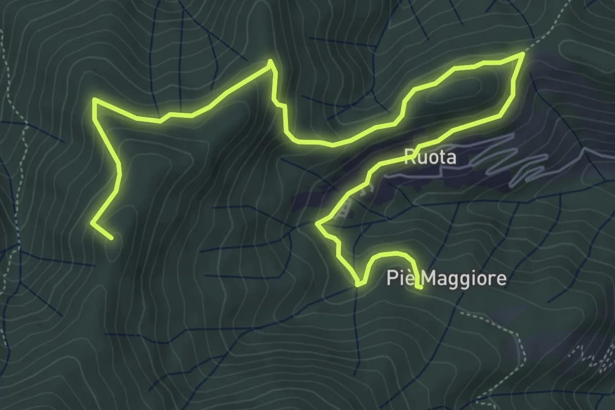
Medium · Summit
Ruota – Sassabodda - Fonte Cavallaia
9.3 km · ↑ 474 m · 3 h 14 min · 9 km away
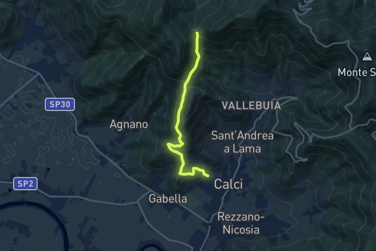
Medium · Trail
Calci – Campo di Croce
9.3 km · ↑ 625 m · 3 h 32 min · 9 km away
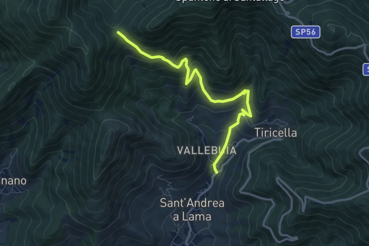
Medium · Trail
Castelmaggiore – Campo di Croce
8.7 km · ↑ 536 m · 3 h 13 min · 9 km away
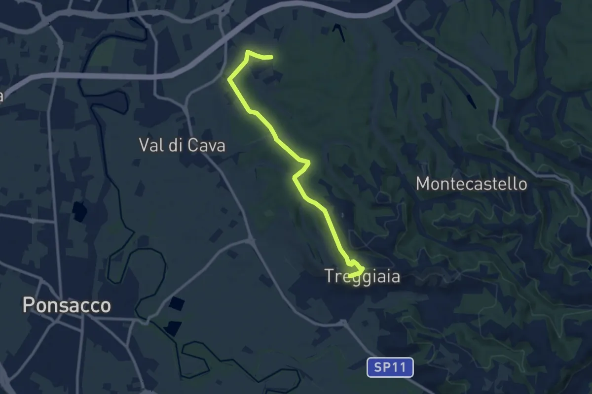
Medium · Trail
Loc Le Castelline (Pontedera) – Treggiaia
8.6 km · ↑ 155 m · 2 h 22 min · 10 km away
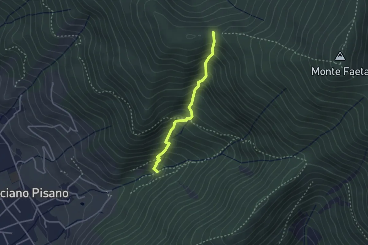
Medium · Trail
Asciano – Passo della Conserva
2.6 km · ↑ 403 m · 1 h 29 min · 10 km away
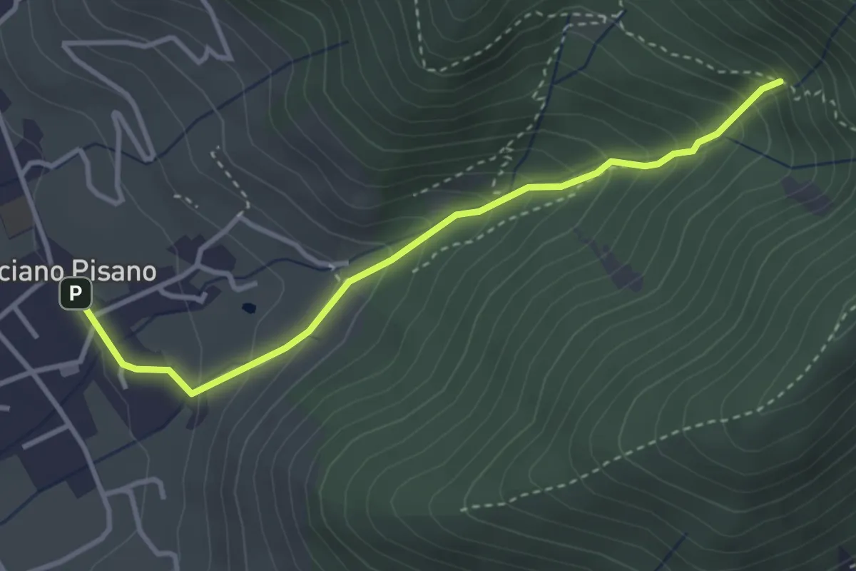
Medium · Trail
Valle delle Fonti
3.5 km · ↑ 316 m · 1 h 31 min · 10 km away
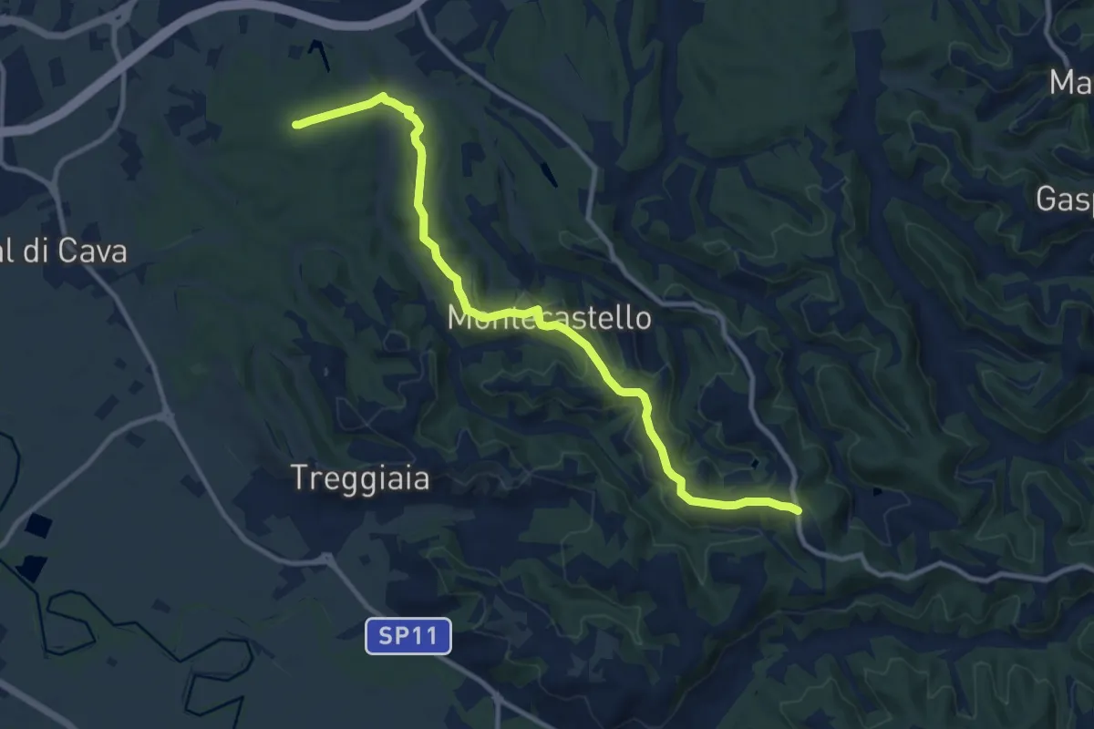
Medium · Trail
Loc Osteriaccia – Castellare-San Gervasio (Palaia)
11.8 km · ↑ 263 m · 3 h 22 min · 10 km away
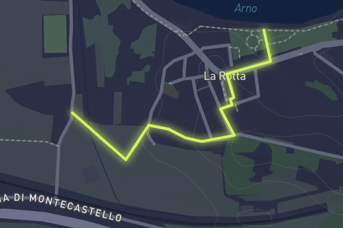
Easy · Trail
via delle Prunacce – La Rotta Parco Fluviale
2.0 km · ↑ 35 m · 33 min · 10 km away
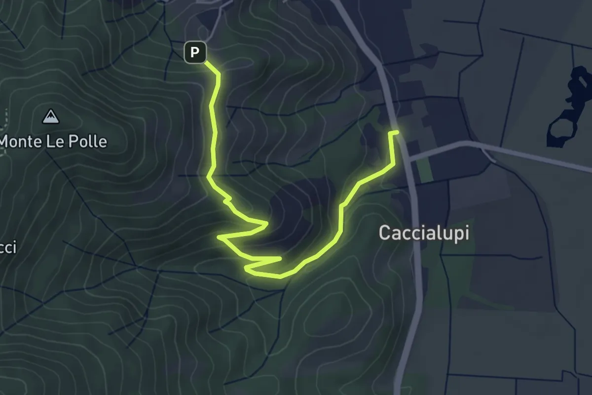
Easy · Trail
Riserva Naturale Bosco di Tanali – Percorso 140
5.5 km · ↑ 207 m · 1 h 45 min · 11 km away
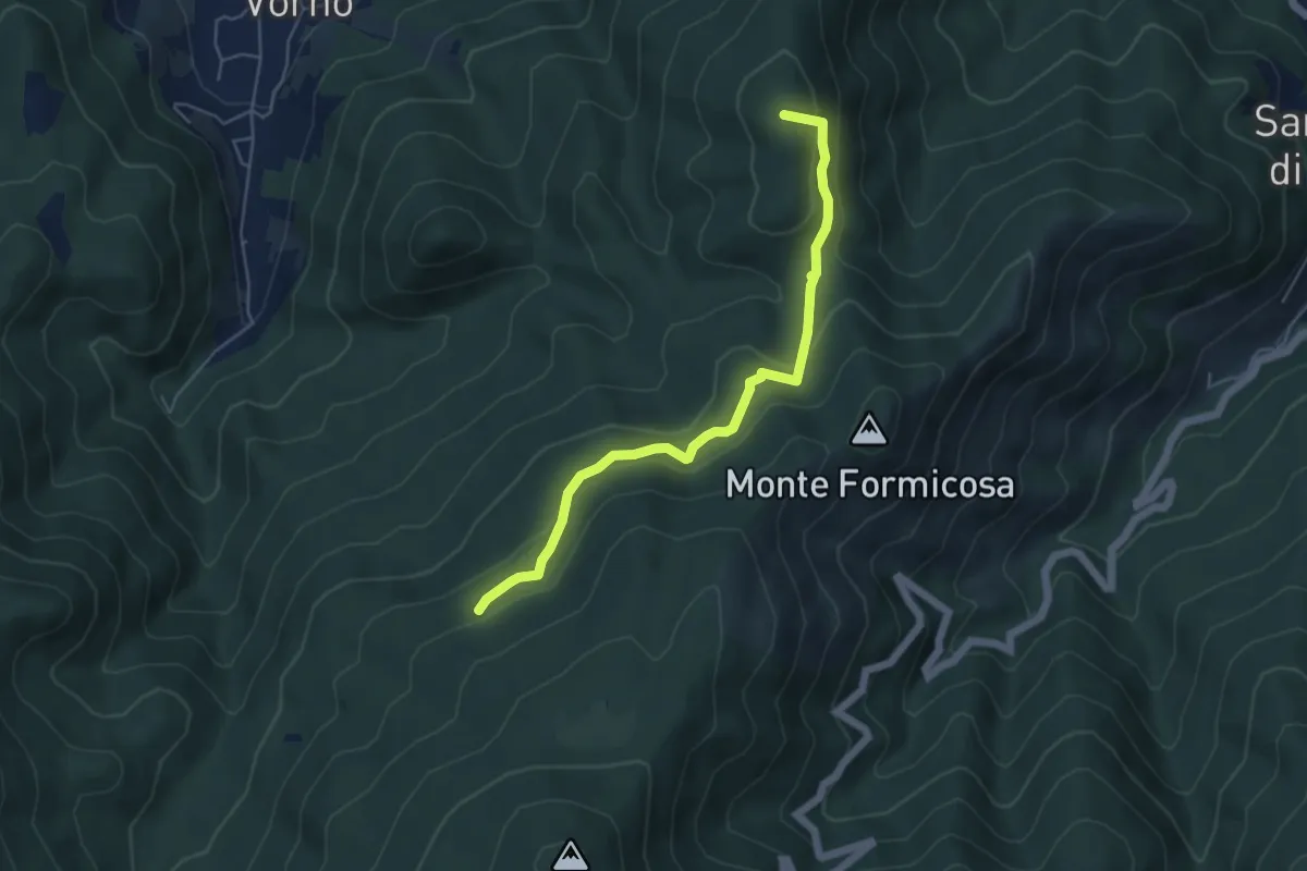
Easy · Summit
Le Parole d'Oro
5.4 km · ↑ 231 m · 1 h 46 min · 11 km away
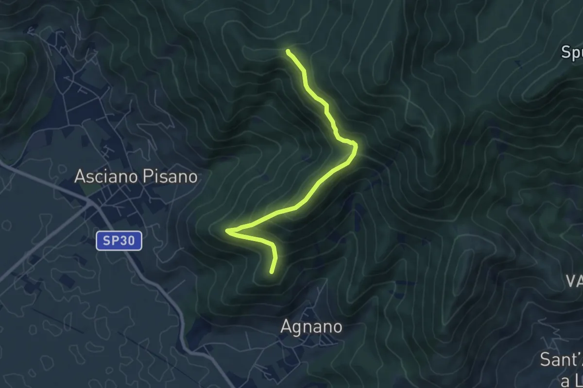
Medium · Summit
Polla – Passo della Conserva
6.5 km · ↑ 372 m · 2 h 21 min · 11 km away
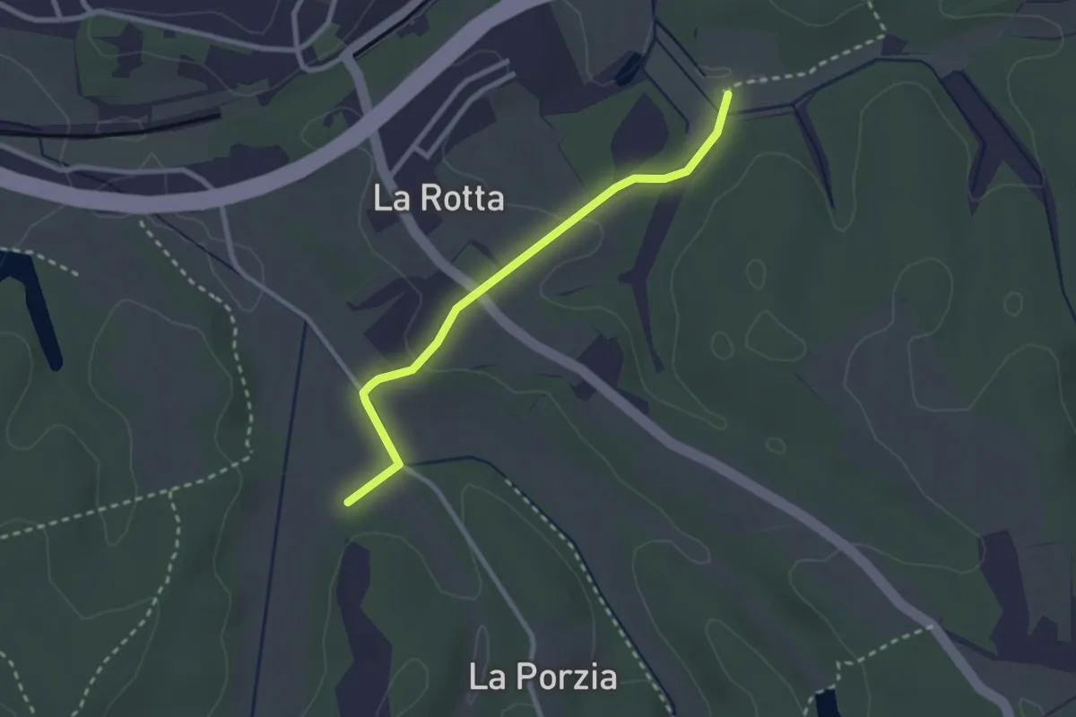
Easy · Trail
San Andrea (Pontedera) – Le Capannacce-raccordo sentieri 03-04
2.6 km · ↑ 44 m · 43 min · 11 km away
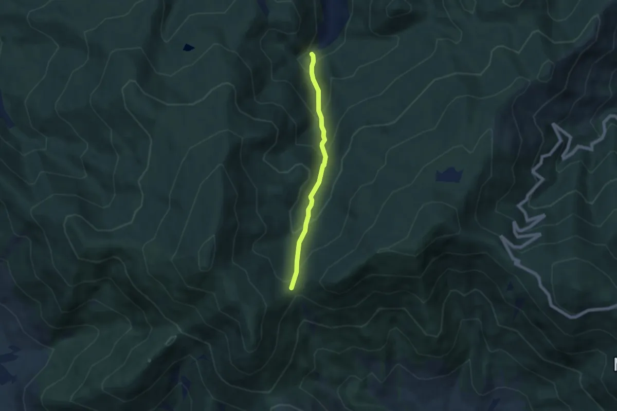
Medium · Trail
Via Calcesana: da Vorno a Campo di Croce
5.0 km · ↑ 425 m · 2 h 6 min · 12 km away
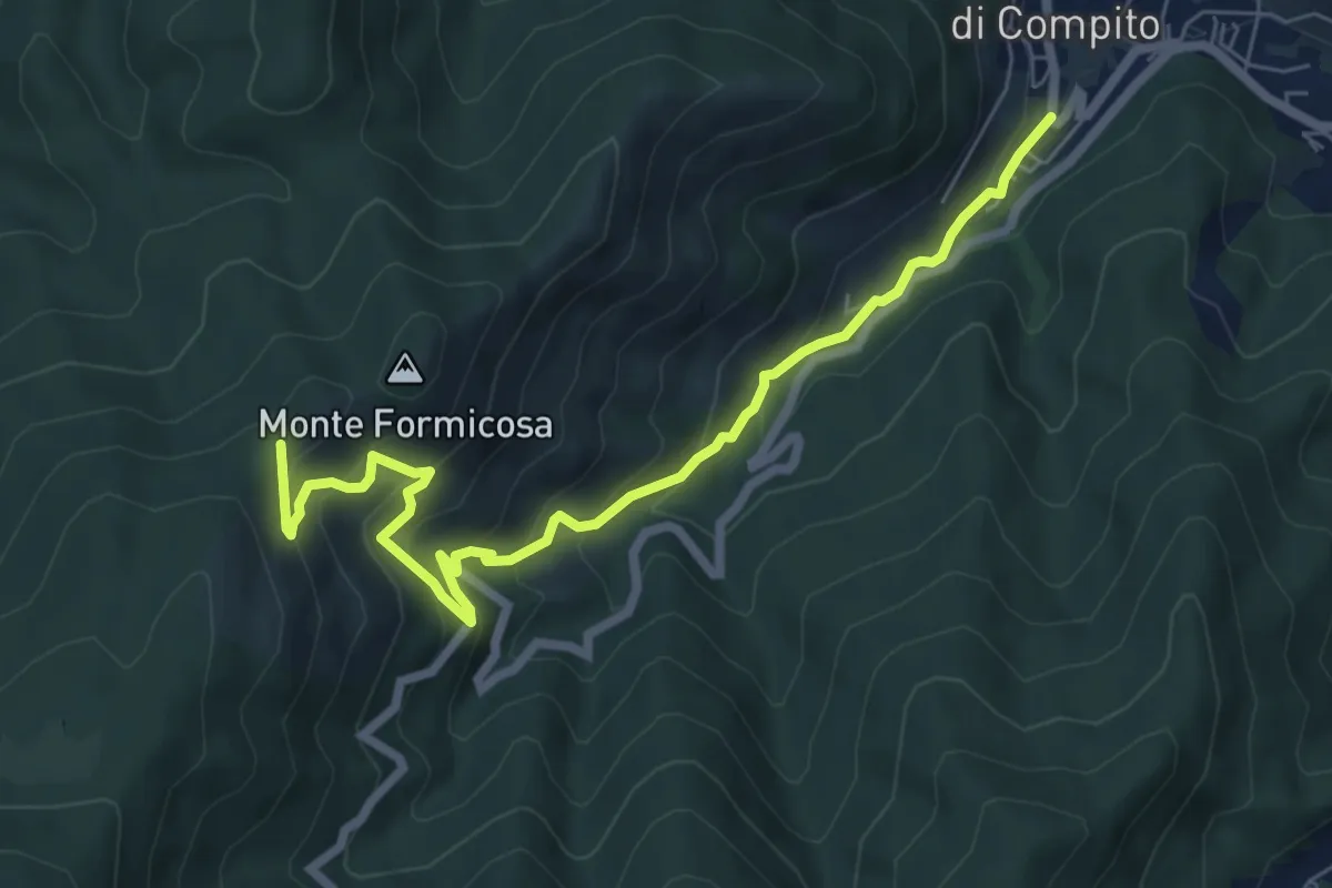
Medium · Trail
Fosso del Lupo
7.8 km · ↑ 526 m · 2 h 59 min · 12 km away
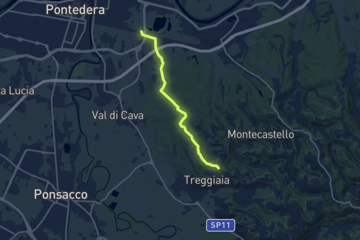
Medium · Trail
Loc Tiro a Segno- Pontedera – Madonna di Ripaia-Treggiaia
9.5 km · ↑ 166 m · 2 h 36 min · 12 km away
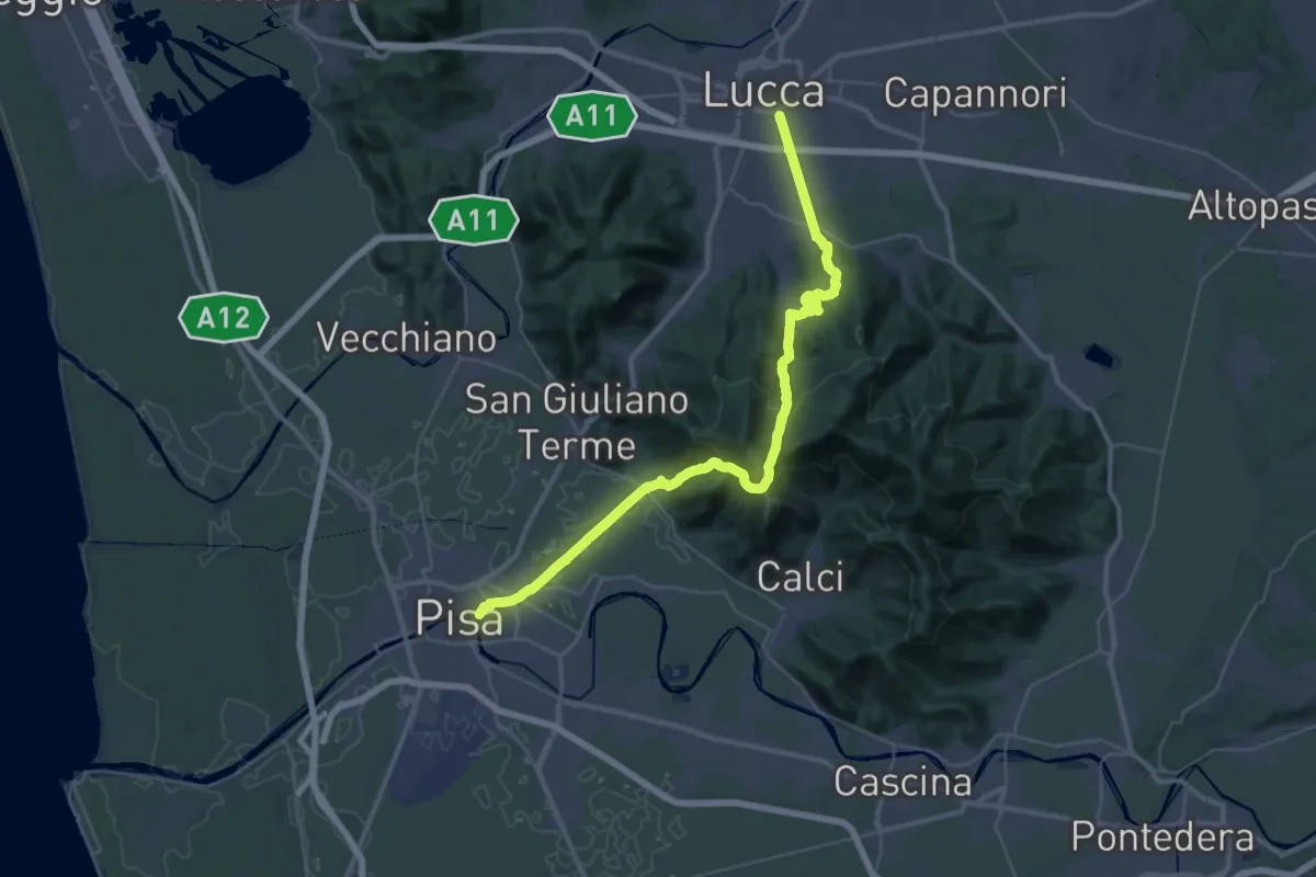
Demanding · Trail
Via degli Acquedotti
22.3 km · ↑ 787 m · 7 h 17 min · 12 km away
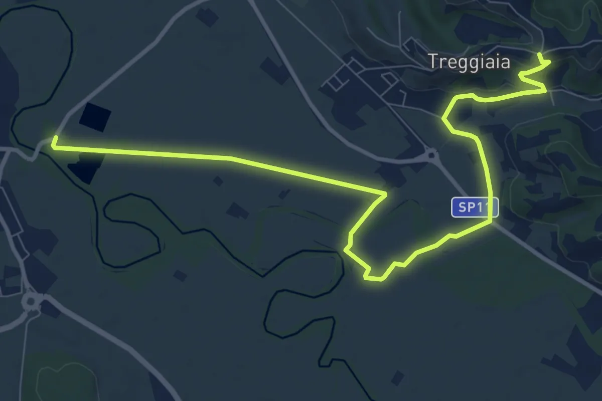
Medium · Trail
Treggiaia – Val di Conca-Ponsacco
11.6 km · ↑ 96 m · 2 h 57 min · 12 km away
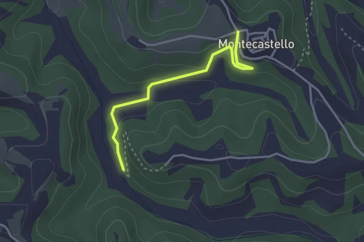
Easy · Trail
Montecastello – raccordo sentieri 07-03
2.6 km · ↑ 109 m · 52 min · 12 km away
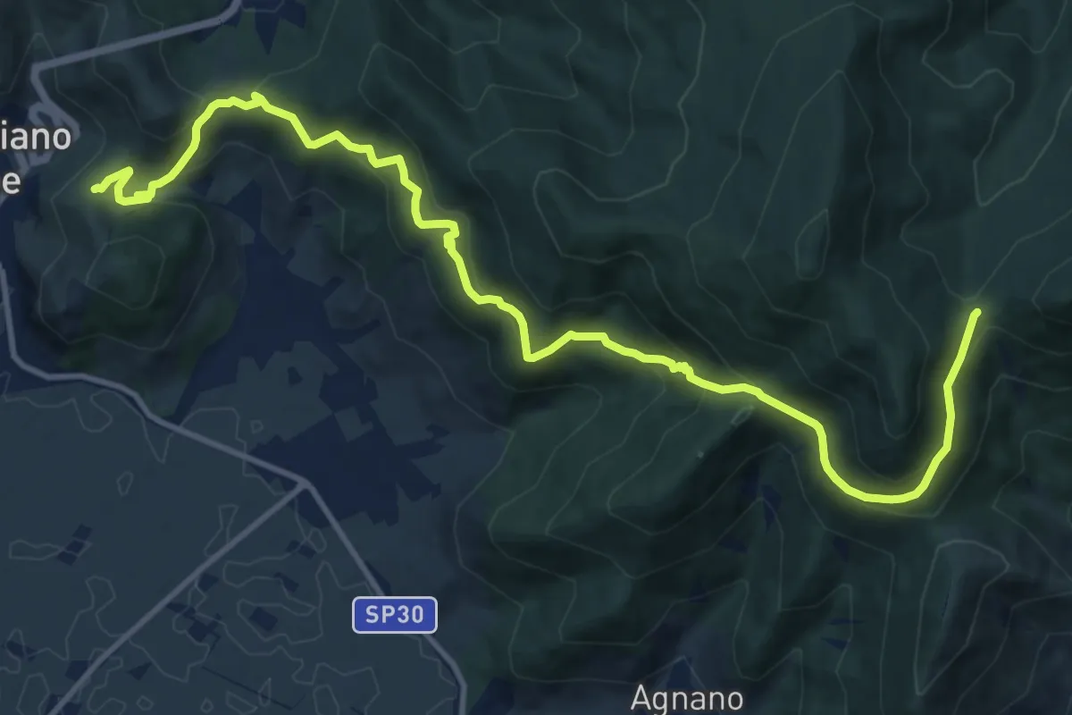
Demanding · Trail
Castellare – Campo di Croce
15.1 km · ↑ 872 m · 5 h 27 min · 12 km away
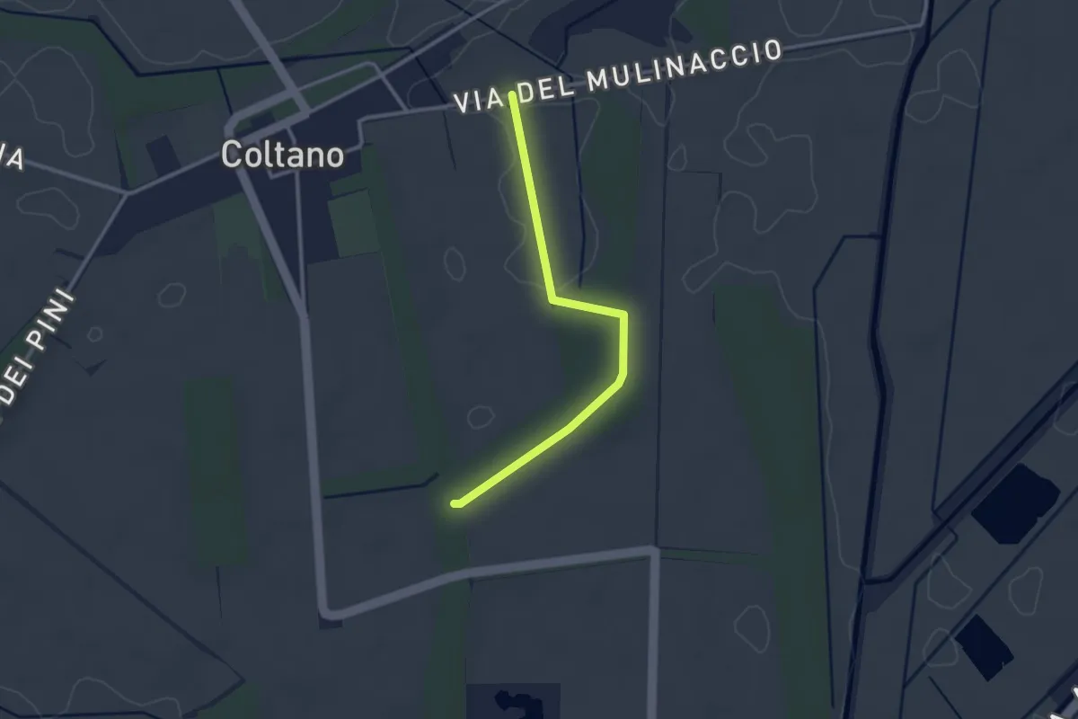
Easy · Trail
Raccordo via Molinaccio – Raccordo 025
2.8 km · ↑ 9 m · 41 min · 13 km away
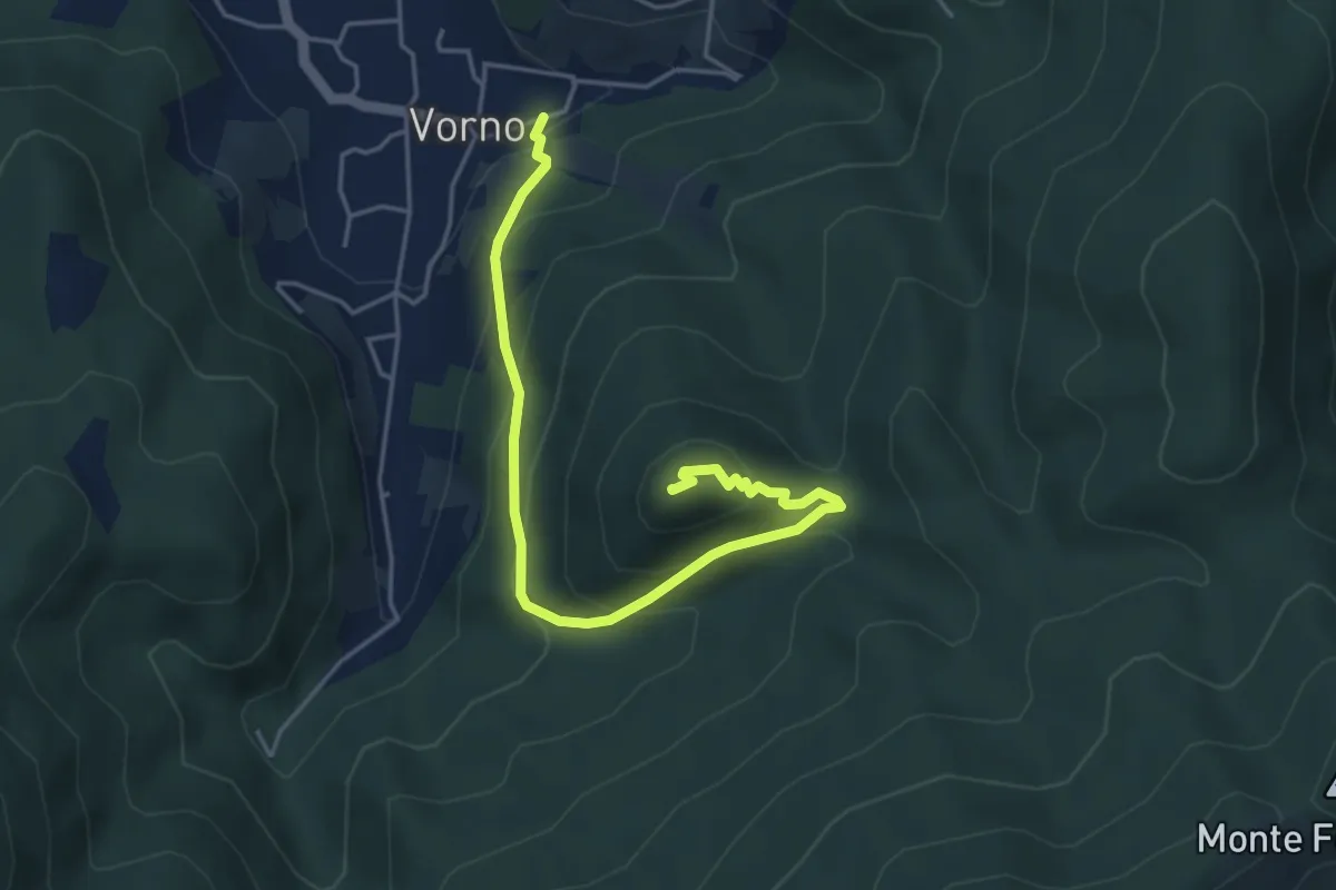
Medium · Summit
Vorno – Monte Zano
5.1 km · ↑ 361 m · 1 h 59 min · 13 km away
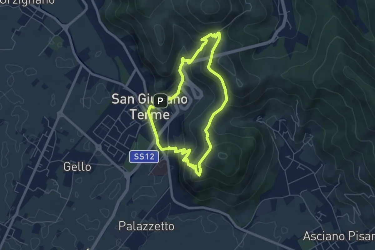
Medium · Trail
Anello di San Giuliano Terme
4.9 km · ↑ 305 m · 1 h 54 min · 13 km away