Trails near Cascina
64 hikes starting within 15 km, nearest first.
Nearest first, page 2 of 2
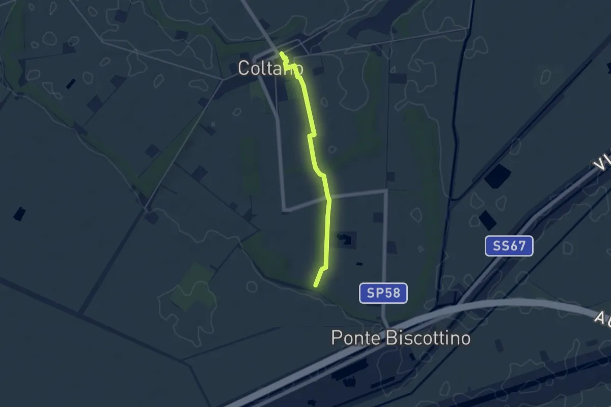
Easy · Trail
Villa Medicea – Fasce Boscate
4.3 km · ↑ 9 m · 1 h 2 min · 13 km away
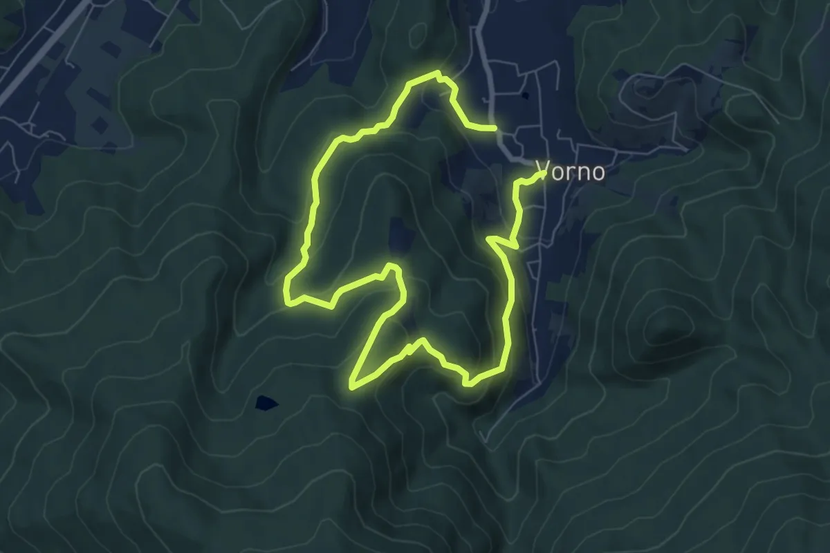
Expert · Summit
Anello di Vorno e Coselli
6.0 km · ↑ 313 m · 2 h 11 min · 13 km away
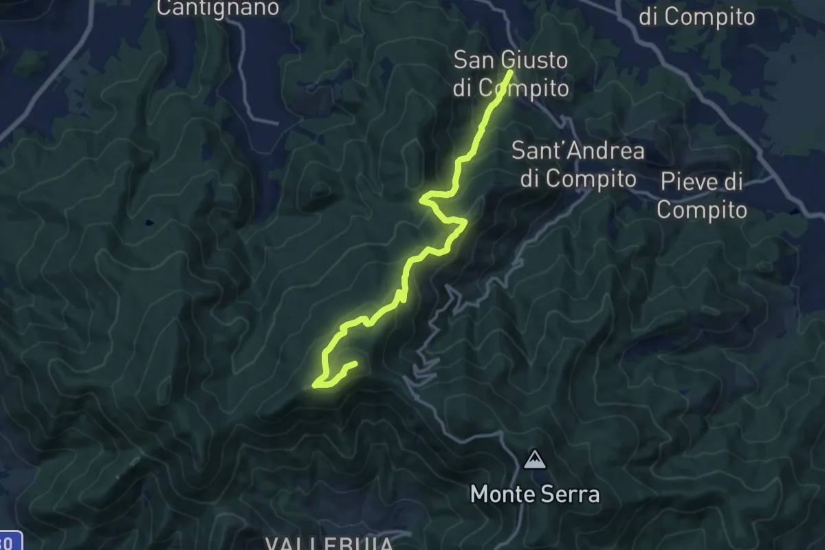
Demanding · Summit
San Giusto – Santallago - Spuntone di Santallago
13.8 km · ↑ 836 m · 5 h 4 min · 13 km away
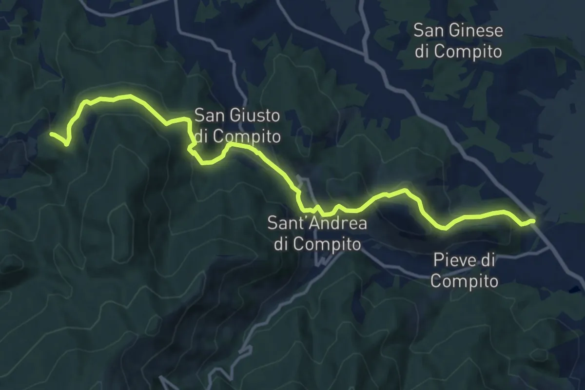
Medium · Trail
Traversale di Compito
13.8 km · ↑ 627 m · 4 h 37 min · 13 km away
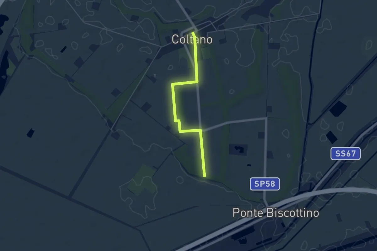
Easy · Trail
Sentiero della Sementina
4.8 km · ↑ 4 m · 1 h 9 min · 13 km away
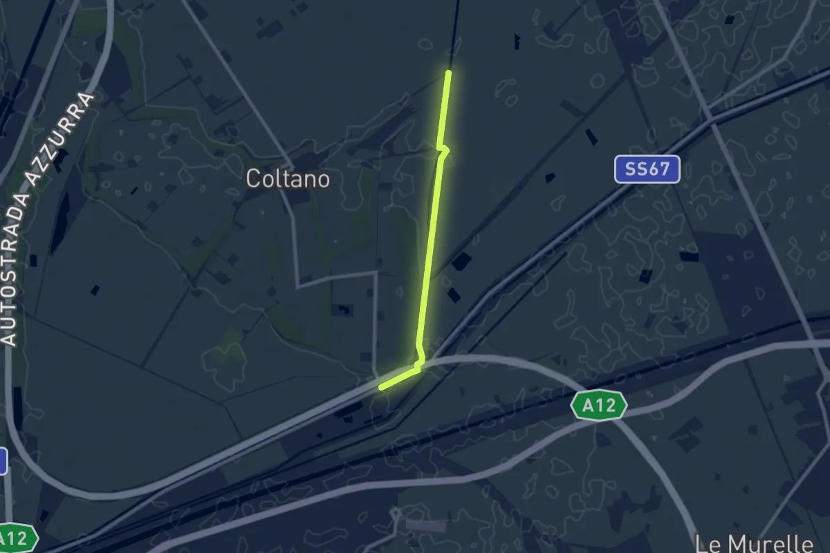
Easy · Trail
Deviazione 021 – Ponte Biscottino
7.4 km · ↑ 0 m · 1 h 45 min · 13 km away
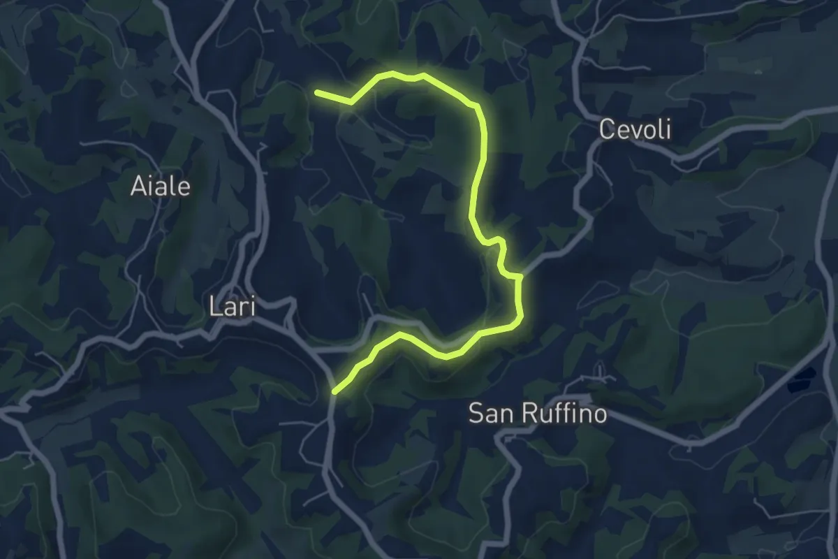
Easy · Trail
Pisinacchio
6.2 km · ↑ 132 m · 1 h 45 min · 13 km away
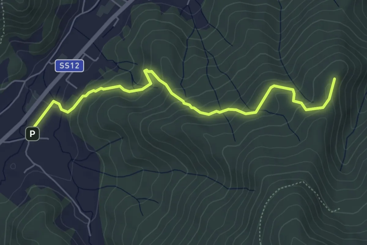
Easy · Summit
Pieve di San Giovanni Battista a Santa Maria del Giudice – Strada Forestale da Coselli
5.9 km · ↑ 300 m · 2 h 3 min · 13 km away
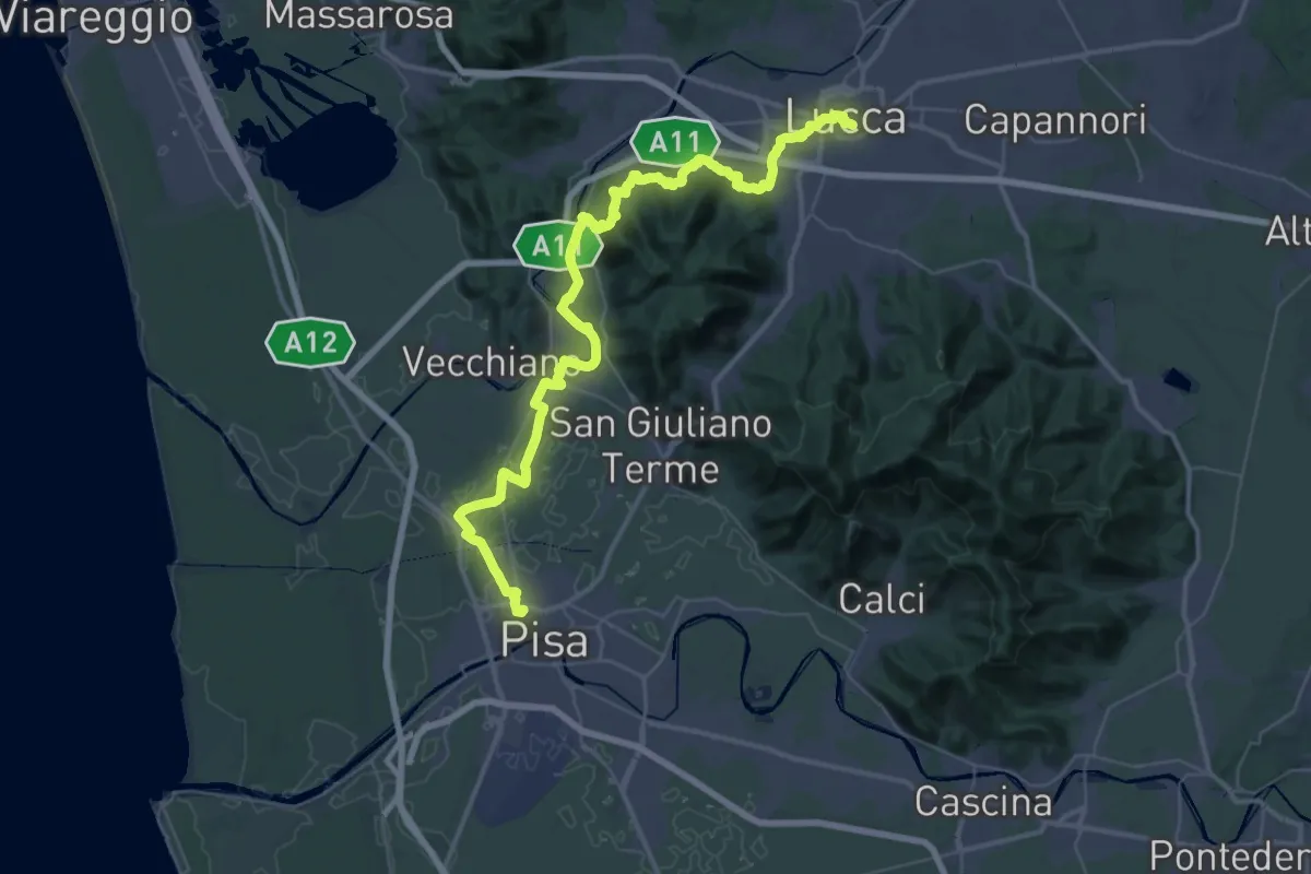
Demanding · Trail
Il Cammino di San Jacopo - Tappa 5
28.4 km · ↑ 275 m · 7 h 41 min · 13 km away
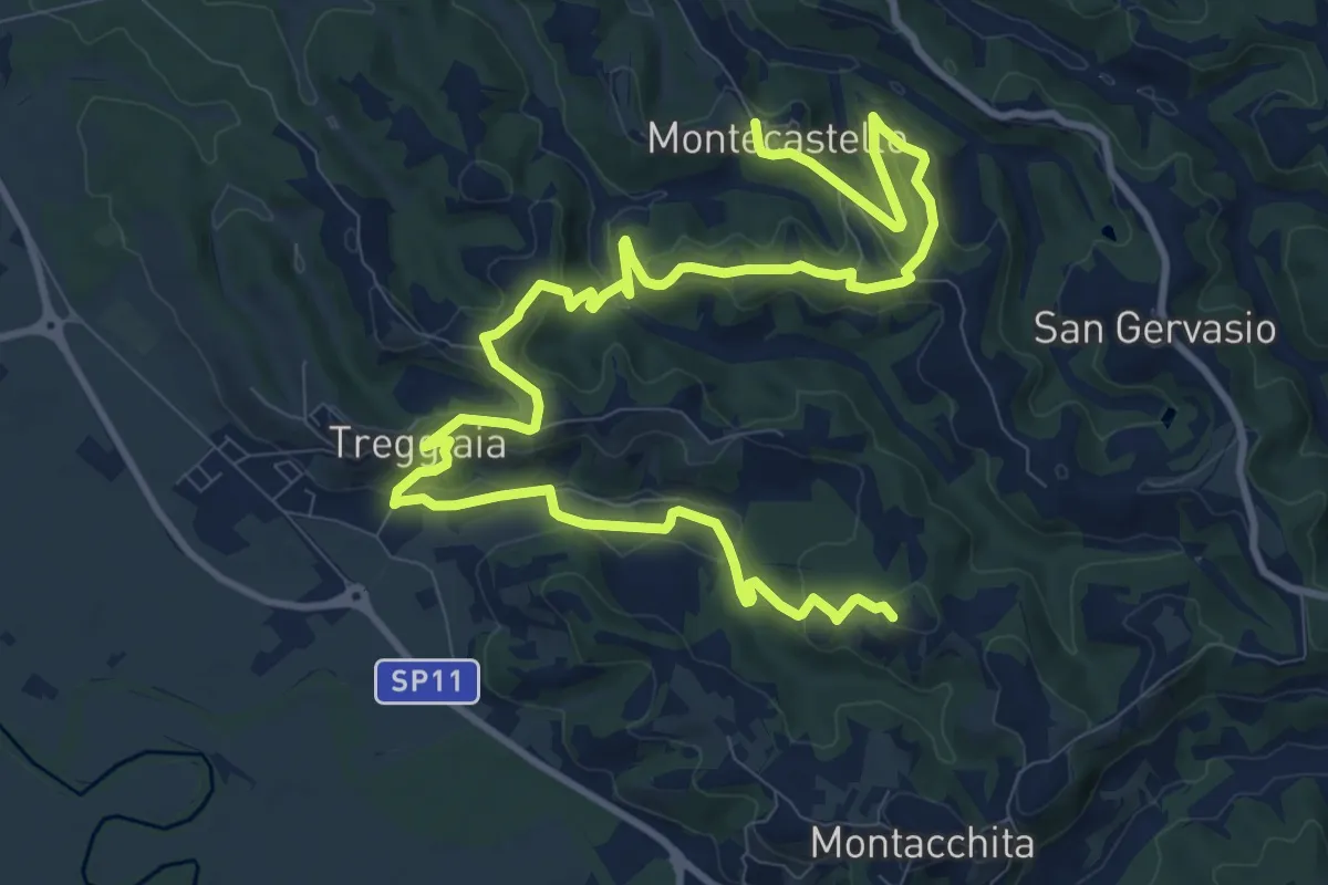
Medium · Trail
Montecastello – Loc Il Salcione
16.5 km · ↑ 527 m · 5 h 3 min · 14 km away
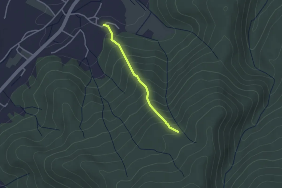
Easy · Trail
Borgo – Fetturina - Bivio Percorso 118
2.2 km · ↑ 232 m · 1 h 1 min · 14 km away
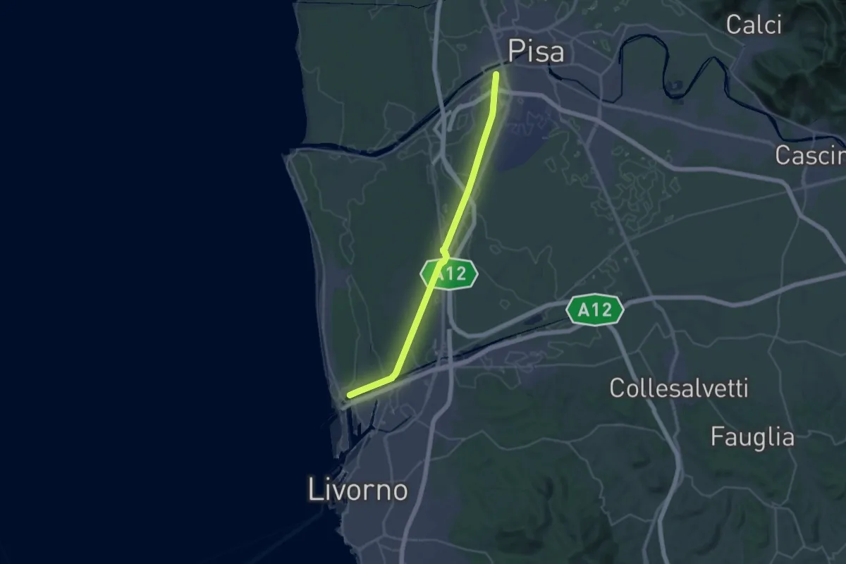
Demanding · Trail
Sentiero dei Navicelli
31.3 km · ↑ 56 m · 7 h 31 min · 14 km away
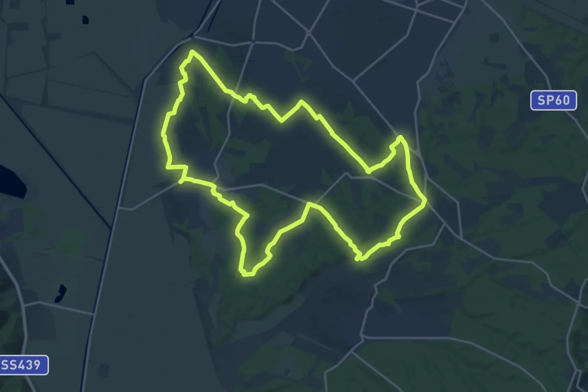
Demanding · Trail
Grande Anello di Orentano
19.4 km · ↑ 112 m · 5 h 6 min · 14 km away
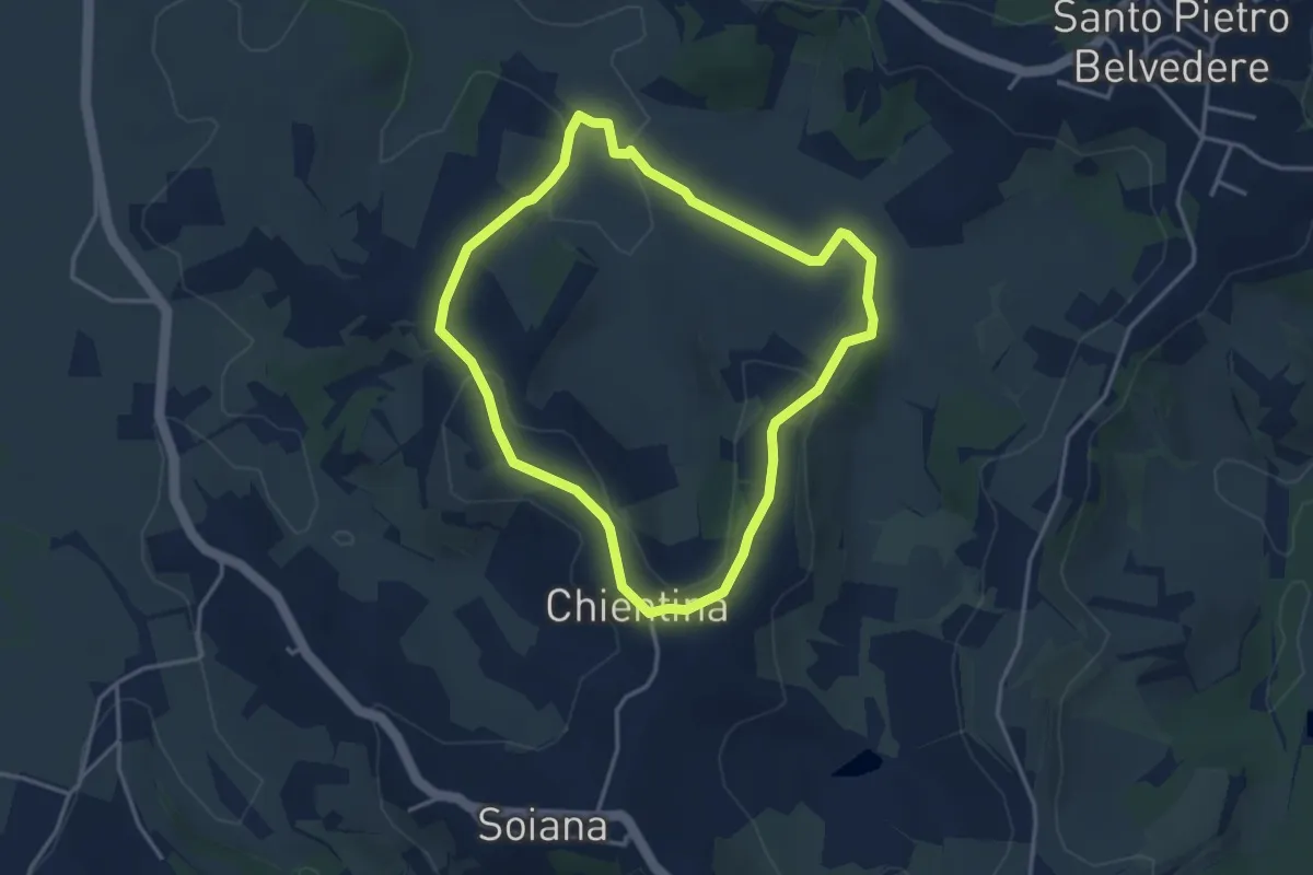
Easy · Trail
La Chientina – Val di Rio
3.6 km · ↑ 78 m · 1 h 5 min · 15 km away
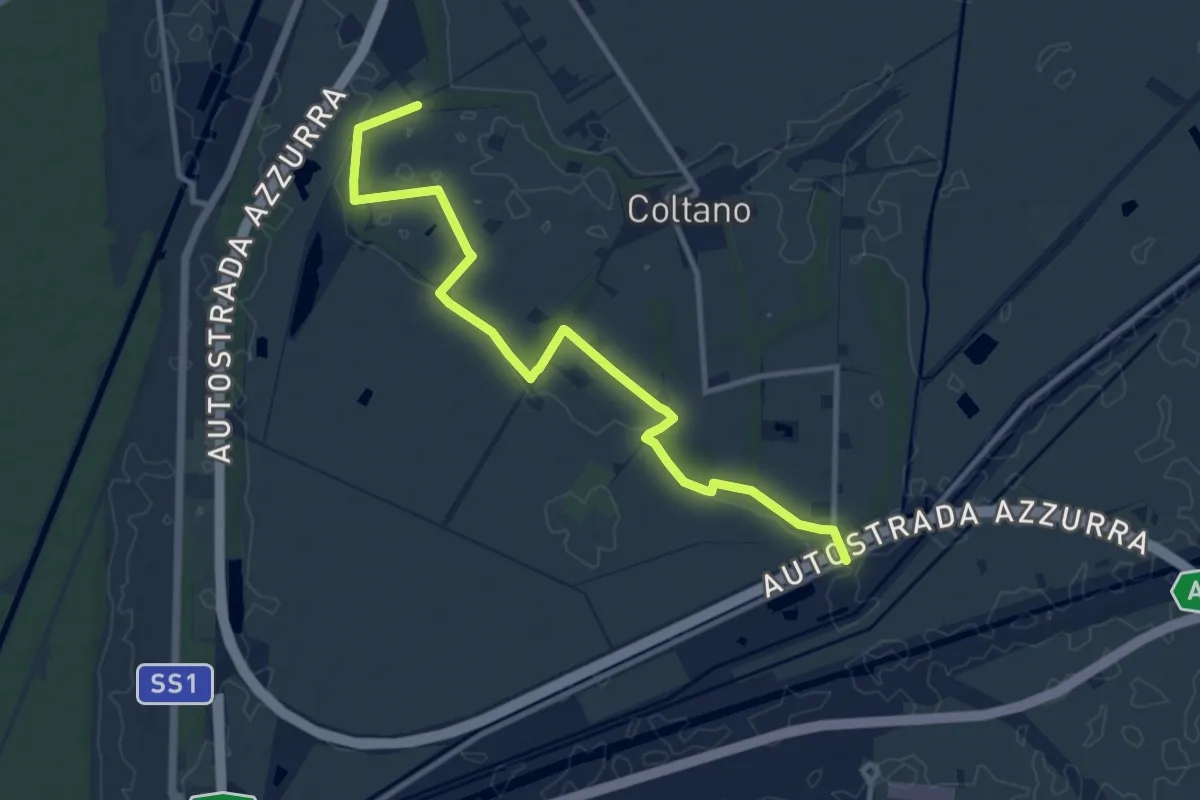
Medium · Trail
Sentiero della Bonifica
12.2 km · ↑ 34 m · 2 h 57 min · 15 km away
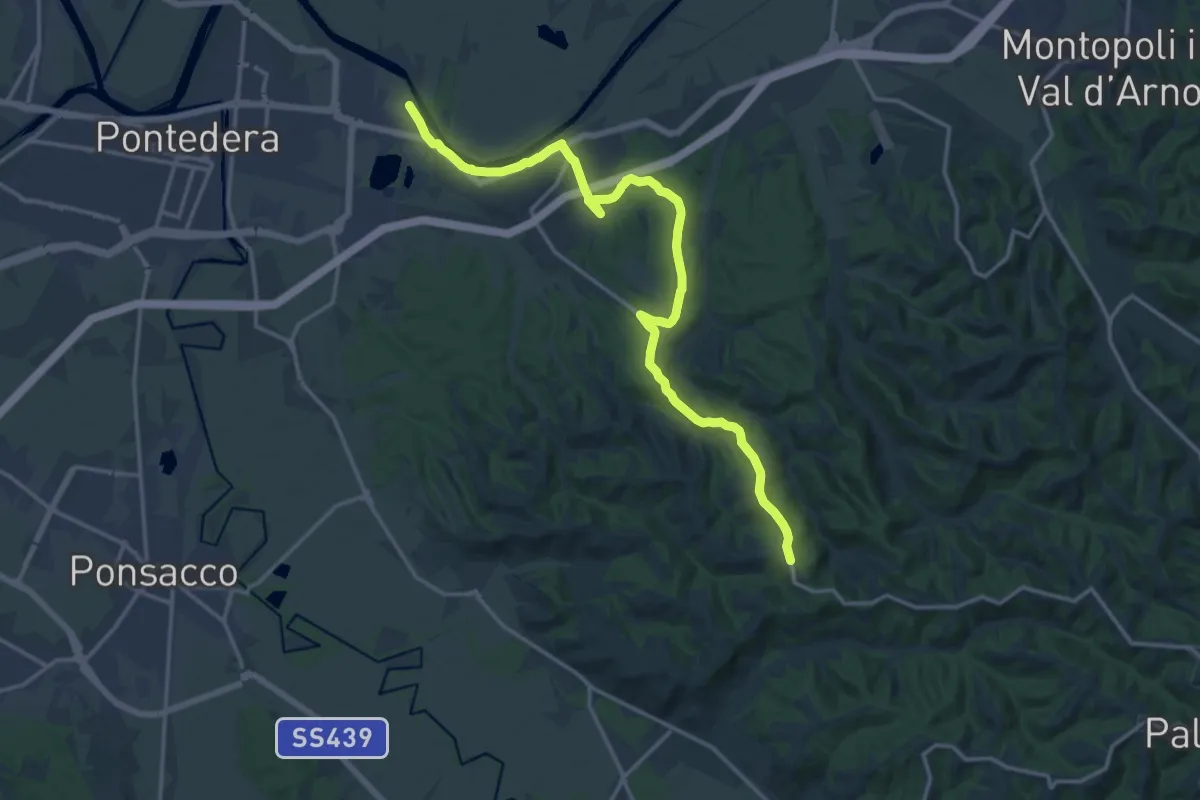
Demanding · Trail
La Rotta – San Gervasio (Palaia)
19.1 km · ↑ 209 m · 4 h 57 min · 15 km away